Archiv - Nach Datum
Archiv - Nach Aktivität
-
Fußtour (98)
- Bergtour (51)
- Hochtour (6)
- Jogging (14)
- Spaziergang (1)
- Wanderung (25)
-
Klettern (8)
- Alpinklettern (3)
- Klettersteig (4)
- Sportklettern (1)
-
Skitour (84)
- Randonnée/Telemark (61)
- Tourenskilauf (23)
Peakbookfreunde


Lieblingstouren
Sanctuary of Madonna della Corona, Garda, Italia
- Datum:
- 18.07.2016
- Tourlänge:
- 2:35h
- Entfernung:
- 6,1km
 Frå Internett:
The Shrine of the Corona is a place of silence and meditation, extended between heaven and earth, hidden in the heart of the Baldo rocks.
A holy tradition dates the birth of the Shrine of Our Lady of the Corona to the 1522, the year when the sculpture venerated here was miraculously transported through angelic intervention from the island of Rhodes. In 1625 works began on the construction of a new and more spacious church 4 metres above the previous one which was incorporated beneath the new presbytery. In 1974, the church was partly demolished and reconstructed.
Frå Internett:
The Shrine of the Corona is a place of silence and meditation, extended between heaven and earth, hidden in the heart of the Baldo rocks.
A holy tradition dates the birth of the Shrine of Our Lady of the Corona to the 1522, the year when the sculpture venerated here was miraculously transported through angelic intervention from the island of Rhodes. In 1625 works began on the construction of a new and more spacious church 4 metres above the previous one which was incorporated beneath the new presbytery. In 1974, the church was partly demolished and reconstructed.
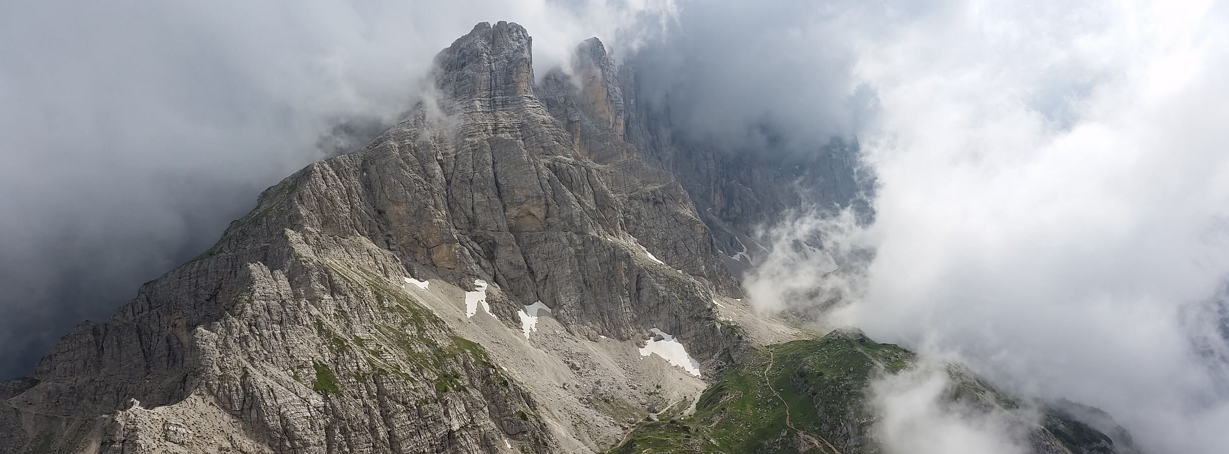
Tre Cime, Dolomittene, Italia
- Datum:
- 15.07.2016
- Tourcharakter:
- Bergtour
- Tourlänge:
- 6:04h
- Entfernung:
- 13,6km
 Dagstur, rundtripp:
Rifugio Auronzo - Lavaredo Hutte - Rifugio Pian Di Cengia - Dreizinnenhutte - Sasso Di Sesto - Rifugio Auronzo.
Dagstur, rundtripp:
Rifugio Auronzo - Lavaredo Hutte - Rifugio Pian Di Cengia - Dreizinnenhutte - Sasso Di Sesto - Rifugio Auronzo.
Cinque Torri, Dolomittene, Italia
- Datum:
- 14.07.2016
- Tourlänge:
- 4:37h
- Entfernung:
- 10,2km
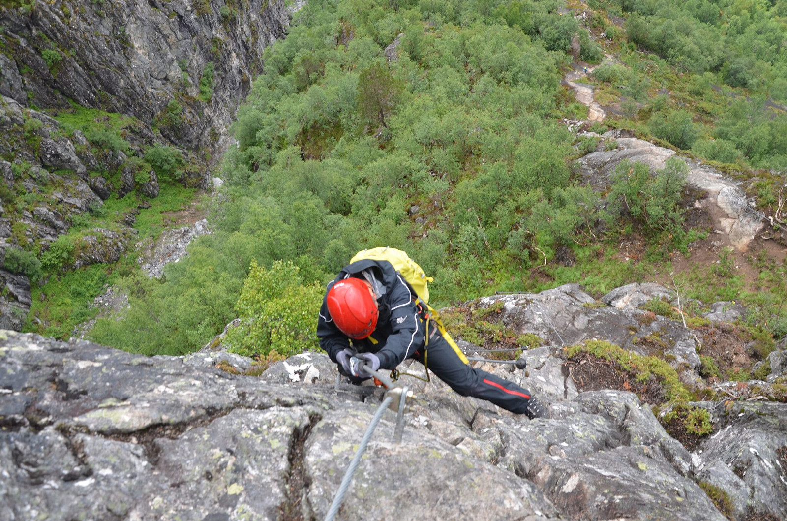
 Stolheis fra Passo Falzarego til Rifugio Scoiattoli.
Deretter opp til Rifugio Averau - Rifugio Nuvolau - Rifugio Cinque Torri.
Ned på smal sti og to korte via ferrata. Sele og sikring anbefales for turen ned.
Stolheis fra Passo Falzarego til Rifugio Scoiattoli.
Deretter opp til Rifugio Averau - Rifugio Nuvolau - Rifugio Cinque Torri.
Ned på smal sti og to korte via ferrata. Sele og sikring anbefales for turen ned.
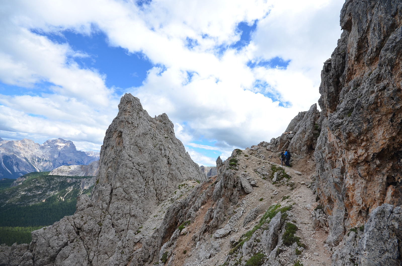
Croda da Lago, Dolomittene, Italia
- Datum:
- 13.07.2016
- Tourcharakter:
- Bergtour
- Tourlänge:
- 5:34h
- Entfernung:
- 14,2km
 Dagstur, rundtripp.
Fra p-plss ved vei.nr SP638,
Sti i skog opp til Rifugio Croda Da Lago.
Videre opp, mot sør, i retning Becco Di Mezzodi.
Til høyre i stikryss 436, rundt Cima Ambrizzola og ned dalen til p-plass.
Dagstur, rundtripp.
Fra p-plss ved vei.nr SP638,
Sti i skog opp til Rifugio Croda Da Lago.
Videre opp, mot sør, i retning Becco Di Mezzodi.
Til høyre i stikryss 436, rundt Cima Ambrizzola og ned dalen til p-plass.
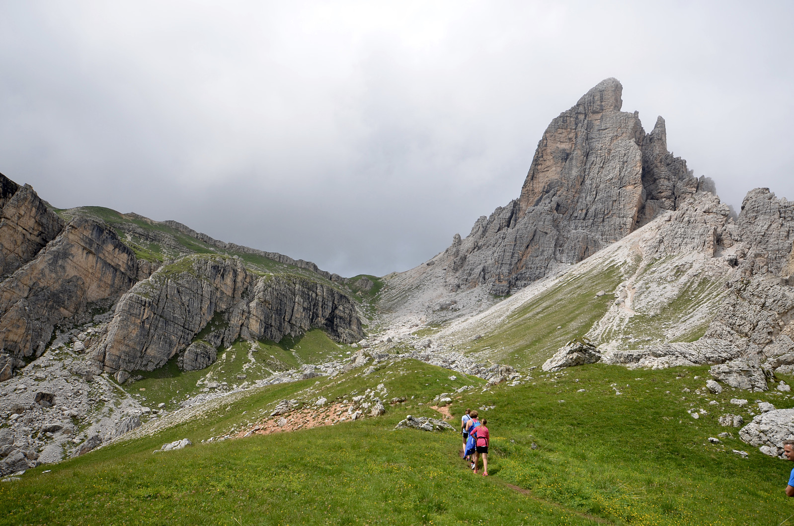
Cima Coldai, Dolomittene, Italia
- Datum:
- 12.07.2016
- Tourcharakter:
- Bergtour
- Entfernung:
- 16,3km
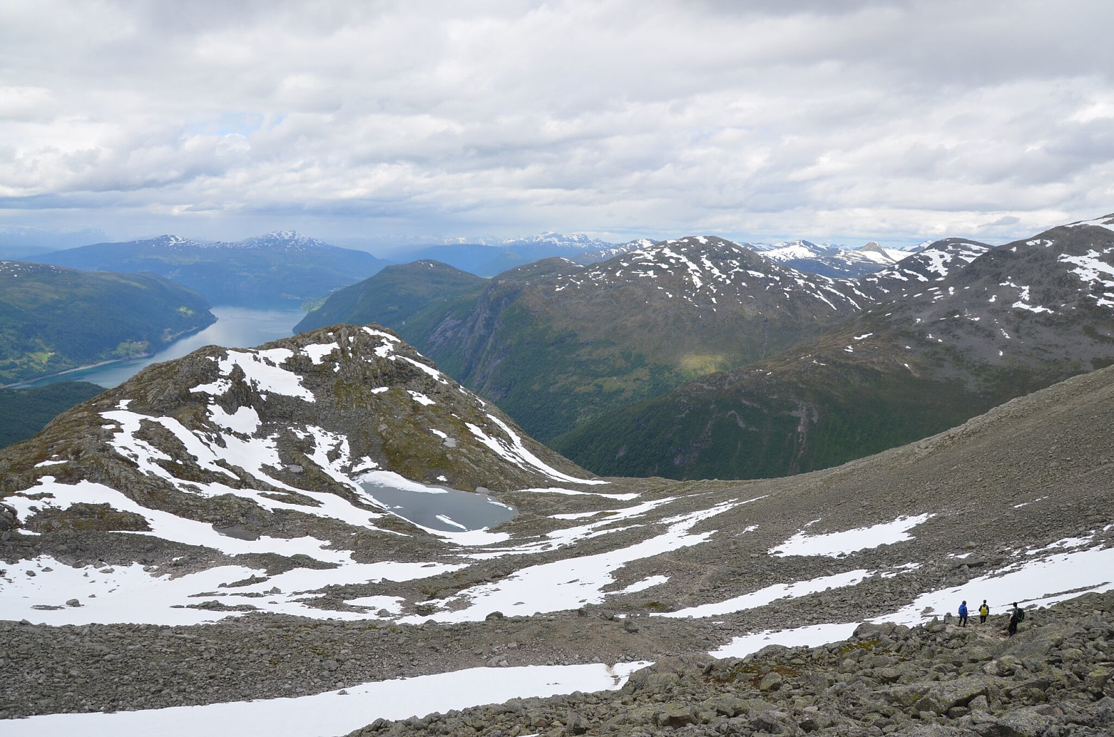
 Alleghe - Cima Coldai.
Heis fra Alleghe opp til Coi.
Deretter sti nr. 4 opp bratt renne til Lago Di Coldai.
Topptur til Cima Di Coldai, luftig og bratt på toppen.
Ned via Rifugio Sonino Al Coldai.
Alleghe - Cima Coldai.
Heis fra Alleghe opp til Coi.
Deretter sti nr. 4 opp bratt renne til Lago Di Coldai.
Topptur til Cima Di Coldai, luftig og bratt på toppen.
Ned via Rifugio Sonino Al Coldai.
Mehammar - Mehammarsåto
- Datum:
- 09.07.2016
- Tourcharakter:
- Bergtour
- Tourlänge:
- 1:52h
- Entfernung:
- 6,2km