Archiv - Nach Datum
Archiv - Nach Aktivität
-
Andere Tour (3)
- Kayaking (3)
-
Fahrradtour (110)
- Fahrradtour Straße (85)
- Fahrradtour gemischt (25)
-
Fahrzeugtour (9)
- Autotour (9)
-
Fußtour (1894)
- Bergtour (1118)
- Jogging (1)
- Spaziergang (60)
- Wanderung (715)
-
Skitour (116)
- Langlauf (47)
- Tourenskilauf (69)
Gesammelte Listen
-
Utvalgte topper og turmål i Bergen
(349/350)
 99%
99% -
Alle topper i Bergen
(393/398)
98%
-
Voss ≥ 100m pf.
(96/98)
97%
-
Opptur Hordaland
(144/159)
90%
-
Stasjoner på Bergensbanen
(33/40)
82%
-
Ulvik ≥ 100m pf.
(28/38)
73%
-
Hordaland ≥ 100m pf.
(622/863)
72%
-
Mjølfjell PF > 100m
(21/31)
67%
-
Jondal ≥ 100m pf.
(15/23)
65%
-
Dagsturhyttene i Vestland
(36/61)
59%
-
Sunnhordland PF >= 100m
(105/186)
56%
-
Hordaland: Hardanger PF>=100m
(194/359)
54%
-
DNT-hytter i Hordaland
(23/45)
51%
-
Kvinnherad ≥ 100m pf.
(40/79)
50%
-
Eidfjord ≥ 100m pf.
(13/42)
30%
-
Sogndal ≥ 100m pf.
(23/81)
28%
-
Gulen ≥ 100m pf.
(15/54)
27%
-
Vik i Sogn ≥ 100m pf.
(10/46)
21%
-
Sogn - Sør for Sognefjorden PF>=100m
(31/159)
19%
-
DNT-hytter i Sogn og Fjordane
(8/47)
17%

Tofjellet from Straume
- Datum:
- 09.10.2021
- Tourcharakter:
- Bergtour
- Tourlänge:
- 5:49h
- Entfernung:
- 16,2km
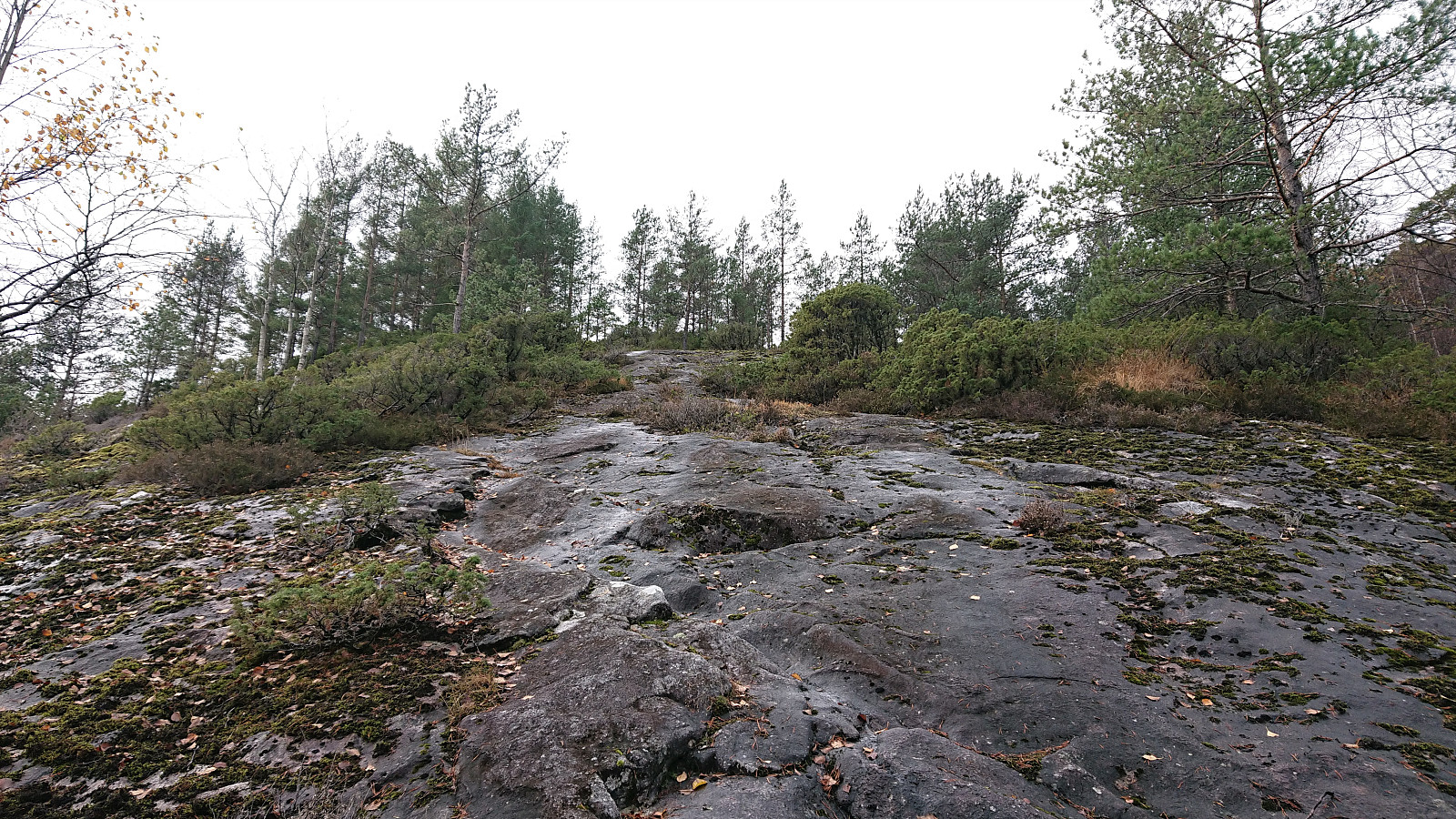
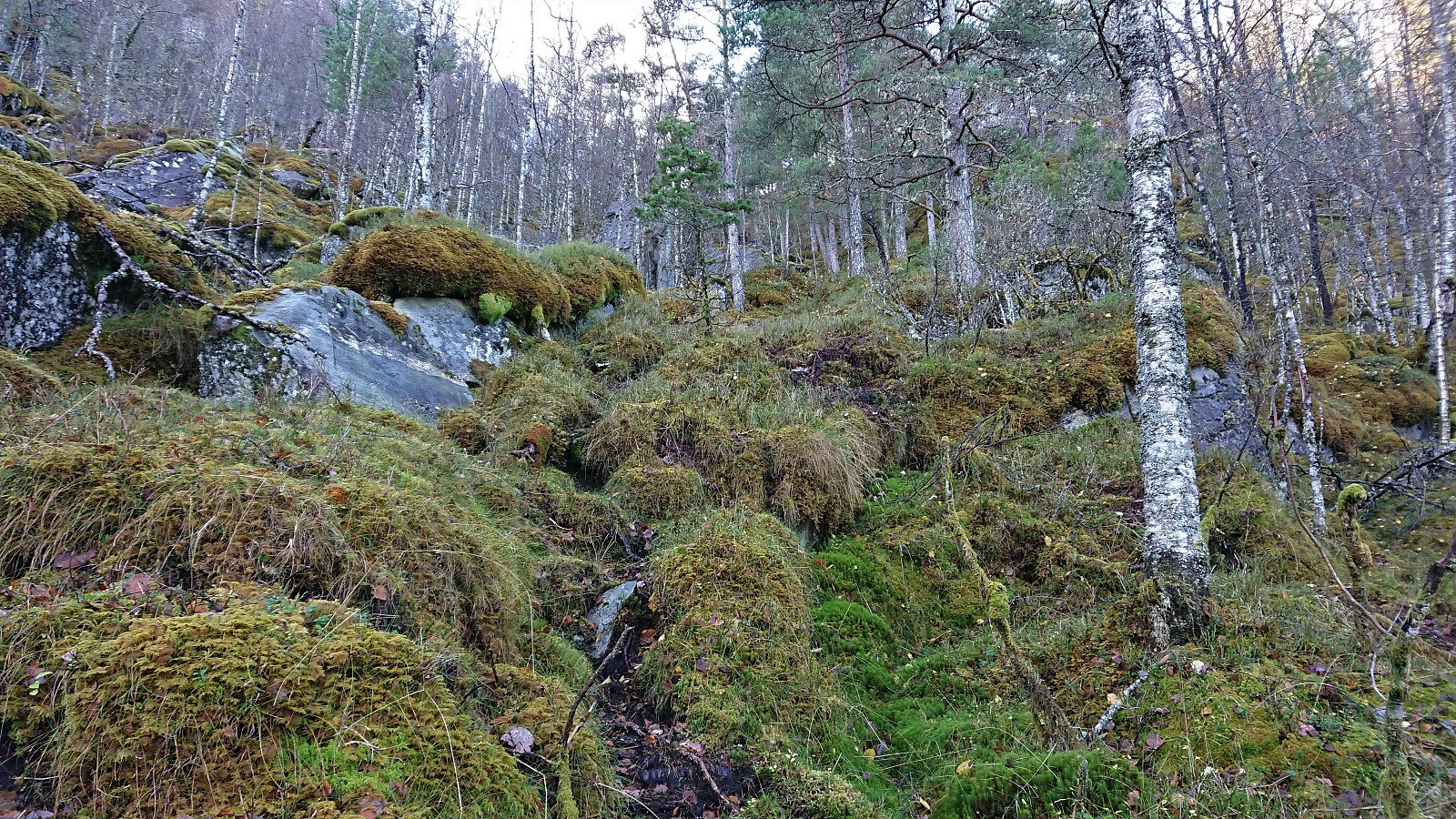
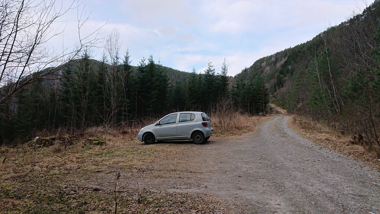
 After a detailed study of the weather forecast combined with a search for possible peaks that could be visited in between the seemingly constant string of rain storms, I settled on Tofjellet and took the early morning train to Dale and the connecting bus to Straume. Armed with arntfla (Arnt Flatmo) 's external trip report I started up the tractor road to Nesatræet . Here I decided to try the trail passing by two of the remaining buildings and from there closely following the river on the way to Straumsstølen . The trail was overall easy to follow, but relatively wet at times.
The trail soon merged with the tractor road and within not too long I arrived at Straumsstølen. Or rather, almost at Straumsstølen. There was the small matter of crossing the river. At first I thought I would have to wade across, as the bridge seemed to be missing. However, I thankfully looked >>>
After a detailed study of the weather forecast combined with a search for possible peaks that could be visited in between the seemingly constant string of rain storms, I settled on Tofjellet and took the early morning train to Dale and the connecting bus to Straume. Armed with arntfla (Arnt Flatmo) 's external trip report I started up the tractor road to Nesatræet . Here I decided to try the trail passing by two of the remaining buildings and from there closely following the river on the way to Straumsstølen . The trail was overall easy to follow, but relatively wet at times.
The trail soon merged with the tractor road and within not too long I arrived at Straumsstølen. Or rather, almost at Straumsstølen. There was the small matter of crossing the river. At first I thought I would have to wade across, as the bridge seemed to be missing. However, I thankfully looked >>>
Vestrefjellet and Snjonipa roundtrip from Tyssebotn
- Datum:
- 16.07.2021
- Tourcharakter:
- Bergtour
- Tourlänge:
- 8:22h
- Entfernung:
- 24,5km
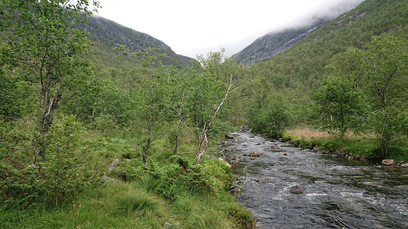
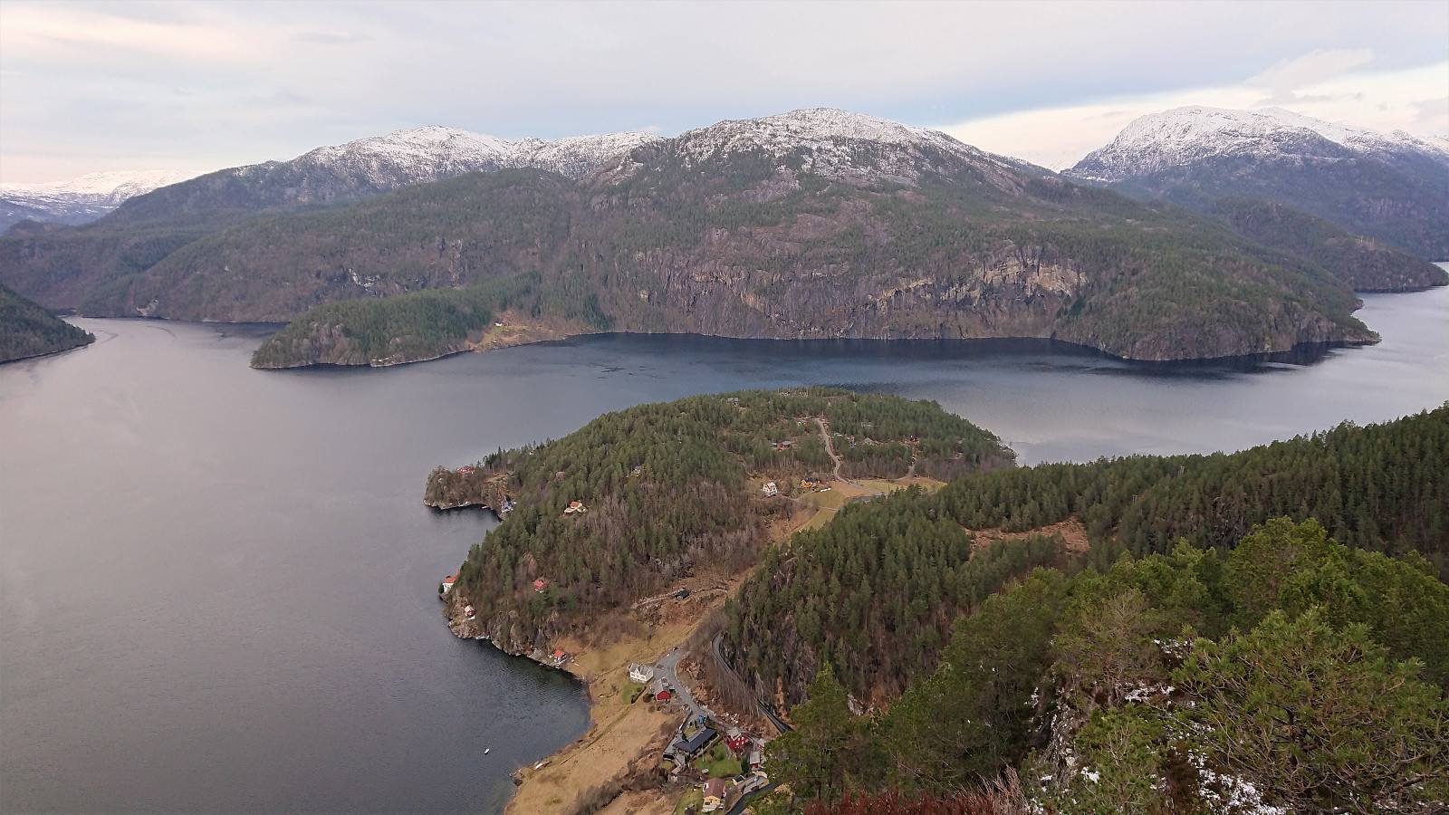
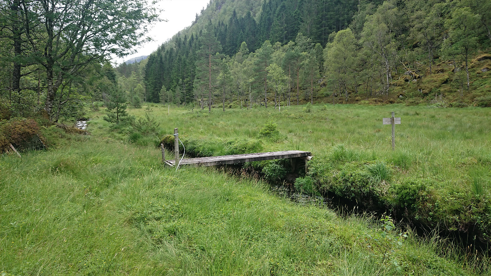 I started by taking the first bus to Tyssebotn on a Friday morning, where I was the only passenger on both the bus and the ferry from Breistein to Valestrand. From Tyssebotn, I walked along the road to the trailhead for Gammersvik south of Kleiveland. I proceeded to follow this unmarked but easy to follow trail to Vaultjørna. After a quick visit to Vaulelvbrua to check that both it and the trail on the other side was there and of ok quality (as it would be quite important when later returning along that route), I backtracked about 100 meters to a trail/deer track I had noticed just after crossing the small stream north of Vaultjørna.
By following this track, I easily ascended the initial steep section on my way northeast towards Vestrefjellet . The track however soon more or less disappeared, and I was left making >>>
I started by taking the first bus to Tyssebotn on a Friday morning, where I was the only passenger on both the bus and the ferry from Breistein to Valestrand. From Tyssebotn, I walked along the road to the trailhead for Gammersvik south of Kleiveland. I proceeded to follow this unmarked but easy to follow trail to Vaultjørna. After a quick visit to Vaulelvbrua to check that both it and the trail on the other side was there and of ok quality (as it would be quite important when later returning along that route), I backtracked about 100 meters to a trail/deer track I had noticed just after crossing the small stream north of Vaultjørna.
By following this track, I easily ascended the initial steep section on my way northeast towards Vestrefjellet . The track however soon more or less disappeared, and I was left making >>>
Vardafjellet, Kallvikanipa and Pina from Kallestadsundet
- Datum:
- 12.12.2020
- Tourcharakter:
- Bergtour
- Tourlänge:
- 5:32h
- Entfernung:
- 16,7km
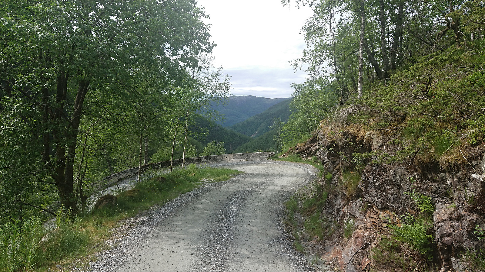
 I started by taking the bus (or rather buses) to the bridge across Kallestadsundet. (Note that this would usually also involve a train ride from Bergen to Dale, but no trains today due to scheduled work on the train track.) After crossing the bridge, I continued along the roads to Kallestad where I attempted to locate the (unmarked) trailhead for Vardafjellet . I initially failed (see the descent route for the proper trail), but quickly found the proper trail. The first part of the trail was not marked, but it did not take long before red markers started appearing.
The red trail markers made it relatively straightforward to follow the trail almost all the way to the summit of Vardafjellet, although I did lose the markers when I had about 150 meters left. By then I could spot the large antenna south of the >>>
I started by taking the bus (or rather buses) to the bridge across Kallestadsundet. (Note that this would usually also involve a train ride from Bergen to Dale, but no trains today due to scheduled work on the train track.) After crossing the bridge, I continued along the roads to Kallestad where I attempted to locate the (unmarked) trailhead for Vardafjellet . I initially failed (see the descent route for the proper trail), but quickly found the proper trail. The first part of the trail was not marked, but it did not take long before red markers started appearing.
The red trail markers made it relatively straightforward to follow the trail almost all the way to the summit of Vardafjellet, although I did lose the markers when I had about 150 meters left. By then I could spot the large antenna south of the >>>
Dystingen and Flatafjellet
- Datum:
- 08.11.2020
- Tourcharakter:
- Bergtour
- Tourlänge:
- 3:53h
- Entfernung:
- 7,8km
 We parked outside Fosse Kraftverk and from there walked 100 meters west along the road to the marked trailhead for Dystingen . The marked trail was relatively steep, especially at the start, and contained lots of wet sections, but could overall be followed without any issues.
As the trail turned west towards the summit of Dystingen, I made an off-trail detour to Flatafjellet on my own, before we later reunited at the summit of Dystingen. My route to Flatafjellet did not provide any challenges, perhaps with the exception of trying to locate the exact summit, as Flatafjellet definitely lives up to its name. As far as I could tell, there are two competing summits, so I visited both just to be sure.
From Flatafjellet, I returned along more or less the same route to the marked trail to Dystingen. Upon reconnecting with >>>
We parked outside Fosse Kraftverk and from there walked 100 meters west along the road to the marked trailhead for Dystingen . The marked trail was relatively steep, especially at the start, and contained lots of wet sections, but could overall be followed without any issues.
As the trail turned west towards the summit of Dystingen, I made an off-trail detour to Flatafjellet on my own, before we later reunited at the summit of Dystingen. My route to Flatafjellet did not provide any challenges, perhaps with the exception of trying to locate the exact summit, as Flatafjellet definitely lives up to its name. As far as I could tell, there are two competing summits, so I visited both just to be sure.
From Flatafjellet, I returned along more or less the same route to the marked trail to Dystingen. Upon reconnecting with >>>
Geithaugen
- Datum:
- 31.10.2020
- Tourcharakter:
- Bergtour
- Tourlänge:
- 1:14h
- Entfernung:
- 3,8km
 After the small expedition required to get to Solaråsen , I still had plenty of time before the bus back to Bergen and decided on a short bonus trip to Geithaugen . I started west along the main road before following Stamnesvegen to an unmarked trailhead east of the summit. The trail itself was weak, but the direction was pretty obvious. 100 meters east of the summit I connected with a marked trail and could shortly enjoy nice views from the summit, most notably providing an excellent overview of my earlier route to Solaråsen.
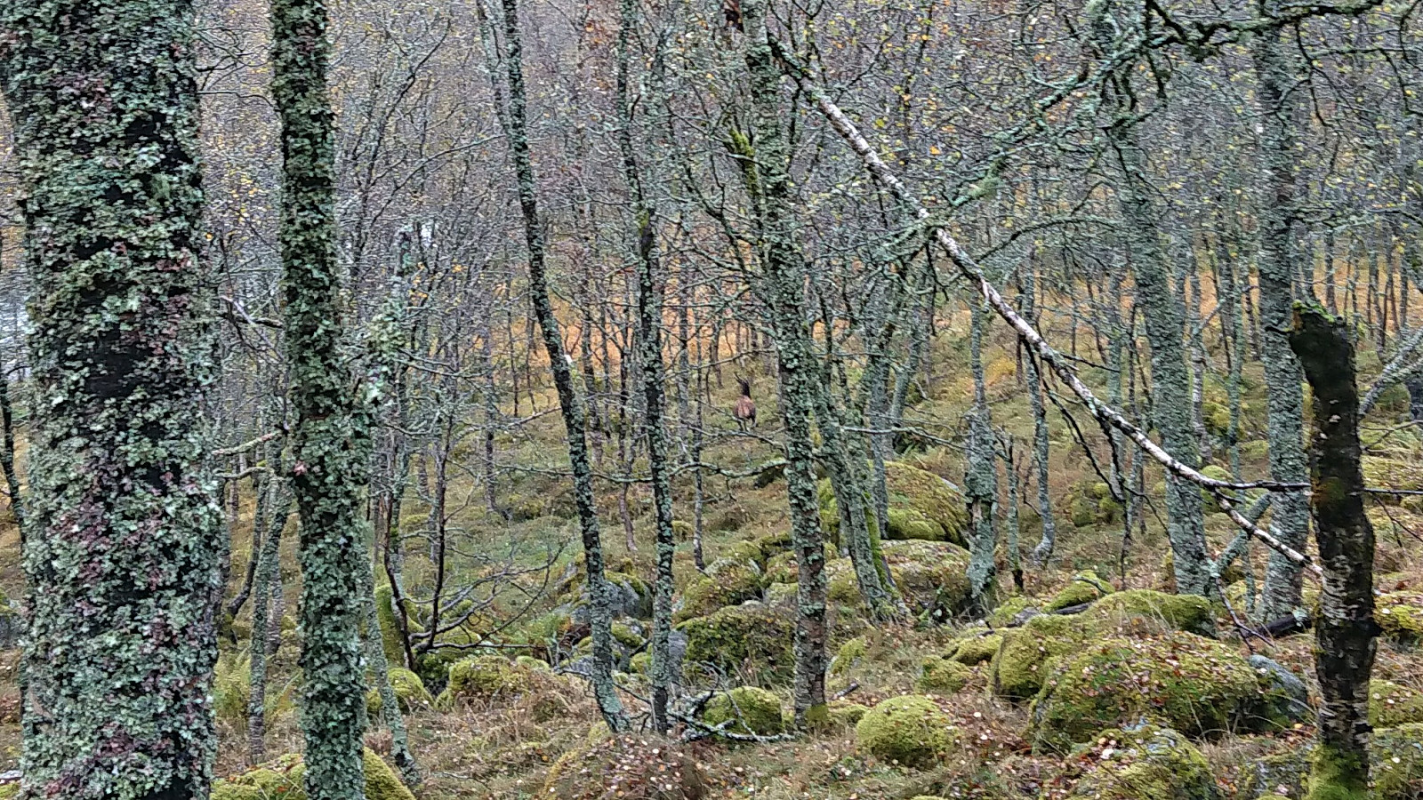
For the descent I followed the marked trail east and then north to a tractor road, which I could then follow back down to Stamnesvegen. This trail was of much better quality and was also sparkled with lots of wooden animals "hidden" at various locations. Not as exciting as the large real deer I came across at Fethaugen earlier >>>
After the small expedition required to get to Solaråsen , I still had plenty of time before the bus back to Bergen and decided on a short bonus trip to Geithaugen . I started west along the main road before following Stamnesvegen to an unmarked trailhead east of the summit. The trail itself was weak, but the direction was pretty obvious. 100 meters east of the summit I connected with a marked trail and could shortly enjoy nice views from the summit, most notably providing an excellent overview of my earlier route to Solaråsen.
For the descent I followed the marked trail east and then north to a tractor road, which I could then follow back down to Stamnesvegen. This trail was of much better quality and was also sparkled with lots of wooden animals "hidden" at various locations. Not as exciting as the large real deer I came across at Fethaugen earlier >>>
Solaråsen via Fethaugen
- Datum:
- 31.10.2020
- Tourcharakter:
- Bergtour
- Tourlänge:
- 4:06h
- Entfernung:
- 7,6km
 Warning: This hike includes steep off-trail descents in rugged terrain.
I had always assumed that reaching the summit of Solaråsen would require an initial transportation stage by boat, as this was the option used in all of the limited number of available trip reports. At least until I came across petter (Petter Bjørstad) 's external trip report indicating an alternative route starting from the private suspension bridge in Kuviki. While this route included a significant amount of both ascending and descending in rugged terrain (after initially following a marked trail around Fethaugen ), it did provide a land-based alternative and seemed doable.
After studying Petter's report in detail (as it did not include a GPS-track), I took the train and bus to Kuviki and got off at the bus stop called Kulshamar (or Kullshammar on the map). This landed me right on front >>>
Warning: This hike includes steep off-trail descents in rugged terrain.
I had always assumed that reaching the summit of Solaråsen would require an initial transportation stage by boat, as this was the option used in all of the limited number of available trip reports. At least until I came across petter (Petter Bjørstad) 's external trip report indicating an alternative route starting from the private suspension bridge in Kuviki. While this route included a significant amount of both ascending and descending in rugged terrain (after initially following a marked trail around Fethaugen ), it did provide a land-based alternative and seemed doable.
After studying Petter's report in detail (as it did not include a GPS-track), I took the train and bus to Kuviki and got off at the bus stop called Kulshamar (or Kullshammar on the map). This landed me right on front >>>
Brattanakken and Midtnova
- Datum:
- 16.07.2020
- Tourcharakter:
- Bergtour
- Tourlänge:
- 7:45h
- Entfernung:
- 18,1km
 A hike with two colleagues starting from Øyane p-plass and from there following a tractor road up Øyadalen to Dalastølen, and then a marked trail along the river to Gavvatnet. Nice steady ascent with only a short steeper section towards the end.
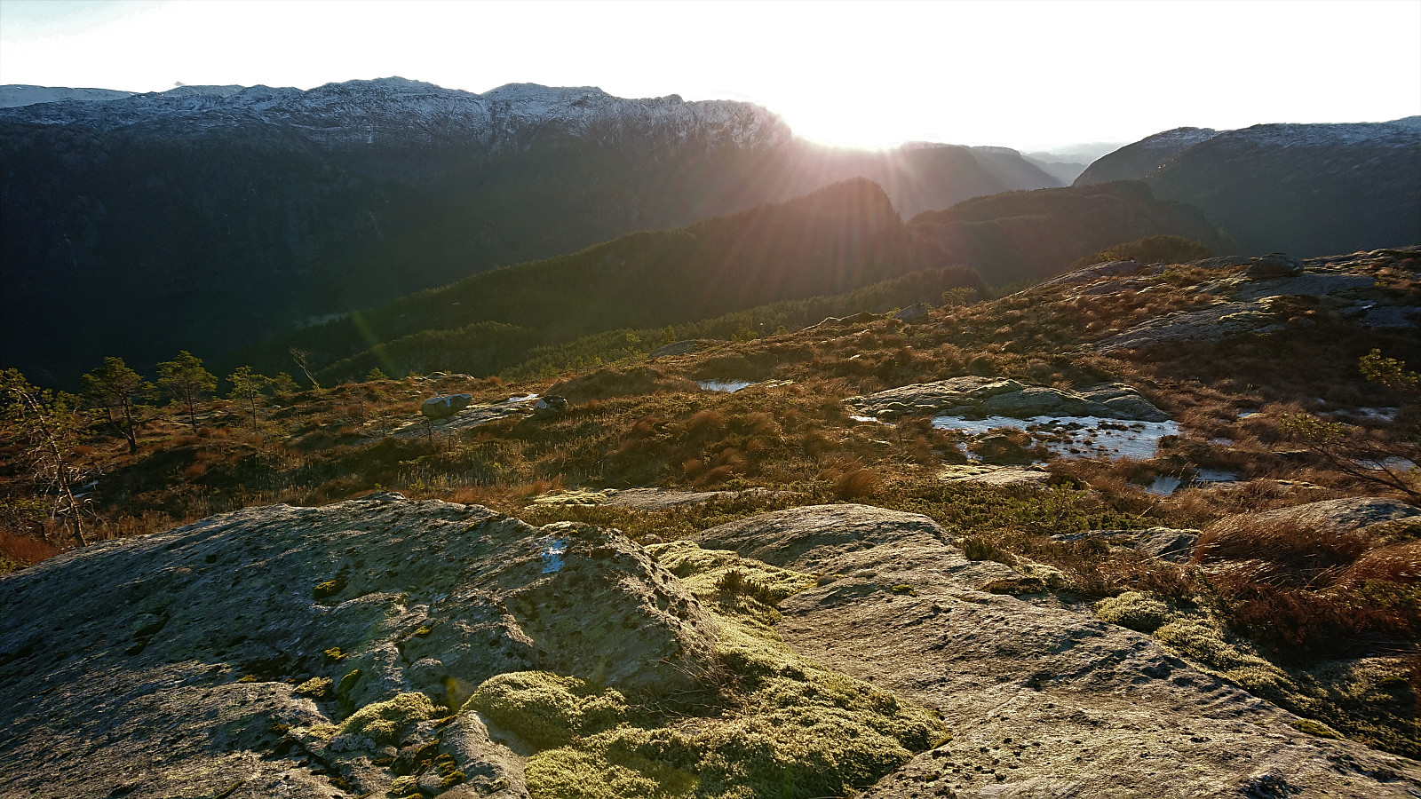
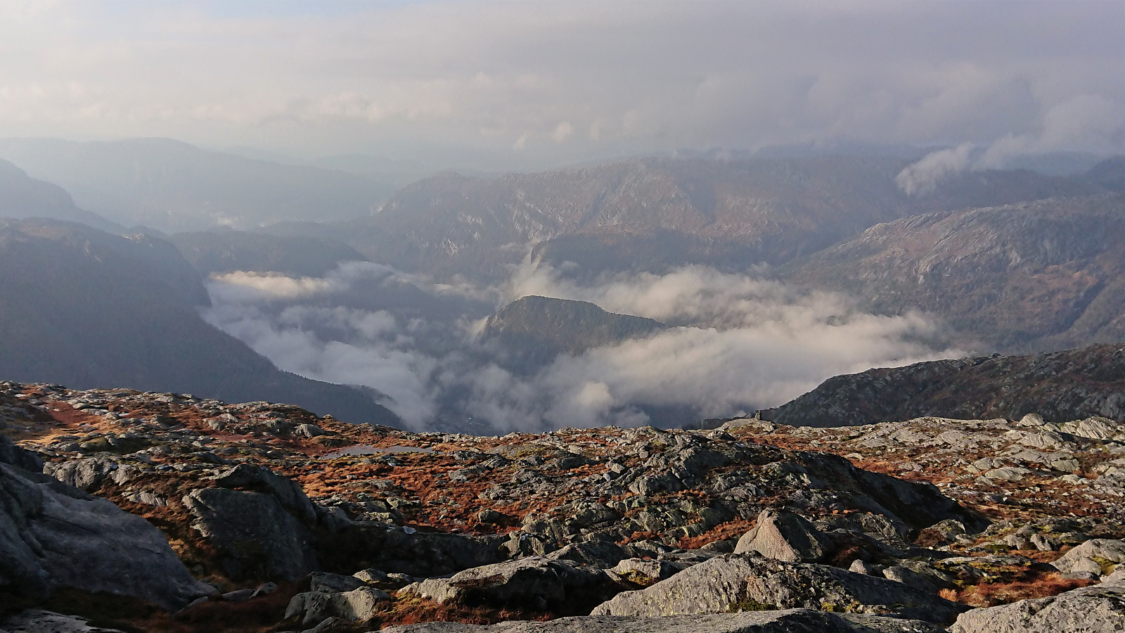
At Gavvatnet, my two colleagues stayed behind for an extended lunch break while I waded across the river to continue on my own to Brattanakken . First ascending steeply towards Geitahaugen, before turning southeast for the summit of Brattanakken when the terrain turned less steep, and reaching the summit without any difficulties, which provided nice views in all directions, including an unusual view of Storenipa .
I returned to my colleagues along pretty much the same route, and together we continued on the marked trail to Hesjedalsstølen via Øyastølen. We did not go all the way to Hesjedalstølen >>>
A hike with two colleagues starting from Øyane p-plass and from there following a tractor road up Øyadalen to Dalastølen, and then a marked trail along the river to Gavvatnet. Nice steady ascent with only a short steeper section towards the end.
At Gavvatnet, my two colleagues stayed behind for an extended lunch break while I waded across the river to continue on my own to Brattanakken . First ascending steeply towards Geitahaugen, before turning southeast for the summit of Brattanakken when the terrain turned less steep, and reaching the summit without any difficulties, which provided nice views in all directions, including an unusual view of Storenipa .
I returned to my colleagues along pretty much the same route, and together we continued on the marked trail to Hesjedalsstølen via Øyastølen. We did not go all the way to Hesjedalstølen >>>
Knuskedalsfjellet, Sædalshesten and Bjørnsnipa
- Datum:
- 13.06.2020
- Tourcharakter:
- Bergtour
- Tourlänge:
- 6:49h
- Entfernung:
- 24,2km
 I was lucky to hitch a ride to the parking lot in Ardalen and therefore started my hike on the winding gravel road up to Herfindal. Note that while it is possible to drive further, i.e. all the way up to the parking lot at Herfindal, the narrow winding road with its limited spots for passing cars coming in the opposite direction may not be to everyone's liking.
Upon reaching Budalen the wind picked up, and even though the weather was still very warm, I had to put on my jacket in order not to get cold. The snow also started appearing, and soon it was impossible to avoid. At Vardatjørnane the trail was crossing a small stream, which during the summer can probably be done without getting wet. Today that was not an option though due to all the melting snow.
After crossing the stream, I left the >>>
I was lucky to hitch a ride to the parking lot in Ardalen and therefore started my hike on the winding gravel road up to Herfindal. Note that while it is possible to drive further, i.e. all the way up to the parking lot at Herfindal, the narrow winding road with its limited spots for passing cars coming in the opposite direction may not be to everyone's liking.
Upon reaching Budalen the wind picked up, and even though the weather was still very warm, I had to put on my jacket in order not to get cold. The snow also started appearing, and soon it was impossible to avoid. At Vardatjørnane the trail was crossing a small stream, which during the summer can probably be done without getting wet. Today that was not an option though due to all the melting snow.
After crossing the stream, I left the >>>
Husafjellet and Storenipa
- Datum:
- 14.12.2019
- Tourcharakter:
- Bergtour
- Tourlänge:
- 2:25h
- Entfernung:
- 9,0km
 After visiting Sverrestuven and Middagshaugen , me and Endre ( Fjellsamleren (Endre Myrdal Olsen) ) concluded our trip by following in the footsteps of elbow (Vegard Magnussen) for our visits to Husafjellet and Storenipa . We started from the small parking lot in Straumsdalen , and from there followed the gravel road south.
Shortly before getting to the U-turn, Endre got bored of following the road and wanted to head more directly towards the summit. We therefore decided to split up and see who would make it to the summit first. Endre climbed up to the east while I continued along the road for another 100 meters or so before starting my own ascent (not requiring any climbing).
I left the road shortly after coming across a warning sign for a shooting range up ahead, and quickly located a deer track that I could more or less follow all the way to the summit, thus making the ascent a lot easier than expected. Endre had of course reached >>>
After visiting Sverrestuven and Middagshaugen , me and Endre ( Fjellsamleren (Endre Myrdal Olsen) ) concluded our trip by following in the footsteps of elbow (Vegard Magnussen) for our visits to Husafjellet and Storenipa . We started from the small parking lot in Straumsdalen , and from there followed the gravel road south.
Shortly before getting to the U-turn, Endre got bored of following the road and wanted to head more directly towards the summit. We therefore decided to split up and see who would make it to the summit first. Endre climbed up to the east while I continued along the road for another 100 meters or so before starting my own ascent (not requiring any climbing).
I left the road shortly after coming across a warning sign for a shooting range up ahead, and quickly located a deer track that I could more or less follow all the way to the summit, thus making the ascent a lot easier than expected. Endre had of course reached >>>
Middagshaugen
- Datum:
- 14.12.2019
- Tourcharakter:
- Bergtour
- Tourlänge:
- 1:06h
- Entfernung:
- 3,0km
 After out visit to Sverrestuven , Endre ( Fjellsamleren (Endre Myrdal Olsen) ) and me continued to Middagshaugen , parking next to the road at Bjørkheim and at the start of the marked trail. The trail (first red markers, later blue) could easily be followed all the way to the summit, which was itself unmarked.
Excellent views from the summit, but the views were even better 100 meters to the south , where there was also a visitor register, clearly the main goal for most hikers. For the descent we followed the same trail back down to the car, concluding an excellent short hike that can be highly recommended.
After out visit to Sverrestuven , Endre ( Fjellsamleren (Endre Myrdal Olsen) ) and me continued to Middagshaugen , parking next to the road at Bjørkheim and at the start of the marked trail. The trail (first red markers, later blue) could easily be followed all the way to the summit, which was itself unmarked.
Excellent views from the summit, but the views were even better 100 meters to the south , where there was also a visitor register, clearly the main goal for most hikers. For the descent we followed the same trail back down to the car, concluding an excellent short hike that can be highly recommended.
