Archiv - Nach Datum
Archiv - Nach Aktivität
-
Andere Tour (3)
- Kayaking (3)
-
Fahrradtour (110)
- Fahrradtour Straße (85)
- Fahrradtour gemischt (25)
-
Fahrzeugtour (9)
- Autotour (9)
-
Fußtour (1884)
- Bergtour (1114)
- Jogging (1)
- Spaziergang (59)
- Wanderung (710)
-
Skitour (116)
- Langlauf (47)
- Tourenskilauf (69)
Gesammelte Listen
-
Utvalgte topper og turmål i Bergen
(348/349)
 99%
99% -
Alle topper i Bergen
(391/398)
98%
-
Voss ≥ 100m pf.
(96/98)
97%
-
Opptur Hordaland
(144/159)
90%
-
Stasjoner på Bergensbanen
(33/40)
82%
-
Ulvik ≥ 100m pf.
(28/38)
73%
-
Hordaland ≥ 100m pf.
(622/863)
72%
-
Mjølfjell PF > 100m
(21/31)
67%
-
Jondal ≥ 100m pf.
(15/23)
65%
-
Dagsturhyttene i Vestland
(36/61)
59%
-
Sunnhordland PF >= 100m
(105/186)
56%
-
Hordaland: Hardanger PF>=100m
(194/359)
54%
-
DNT-hytter i Hordaland
(23/45)
51%
-
Kvinnherad ≥ 100m pf.
(40/79)
50%
-
Eidfjord ≥ 100m pf.
(13/42)
30%
-
Sogndal ≥ 100m pf.
(23/81)
28%
-
Gulen ≥ 100m pf.
(15/54)
27%
-
Vik i Sogn ≥ 100m pf.
(10/46)
21%
-
Sogn - Sør for Sognefjorden PF>=100m
(31/159)
19%
-
DNT-hytter i Sogn og Fjordane
(8/47)
17%

Ørneberget and Hellen festning
- Datum:
- 25.03.2020
- Tourcharakter:
- Bergtour
- Tourlänge:
- 1:07h
- Entfernung:
- 5,4km
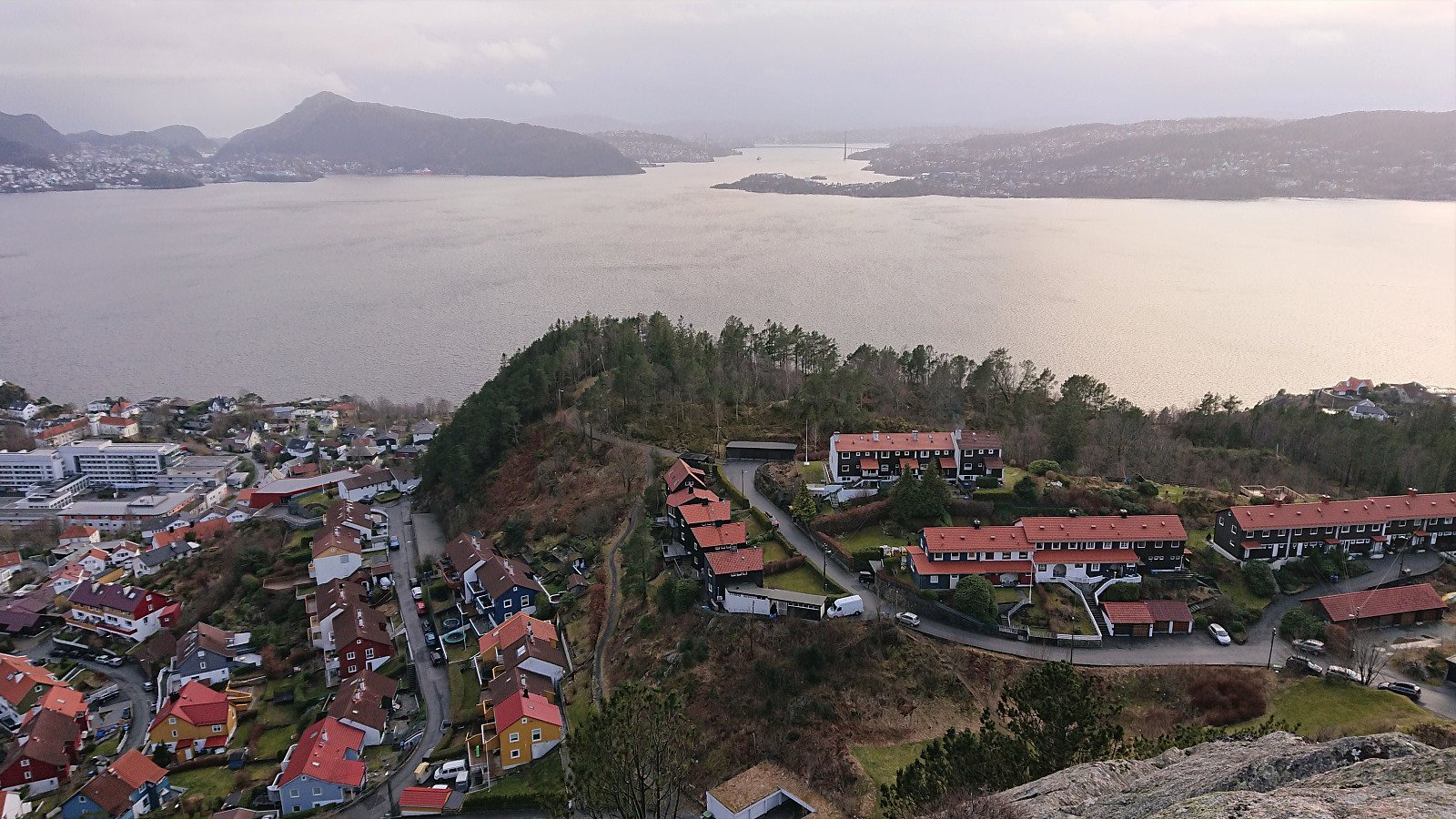
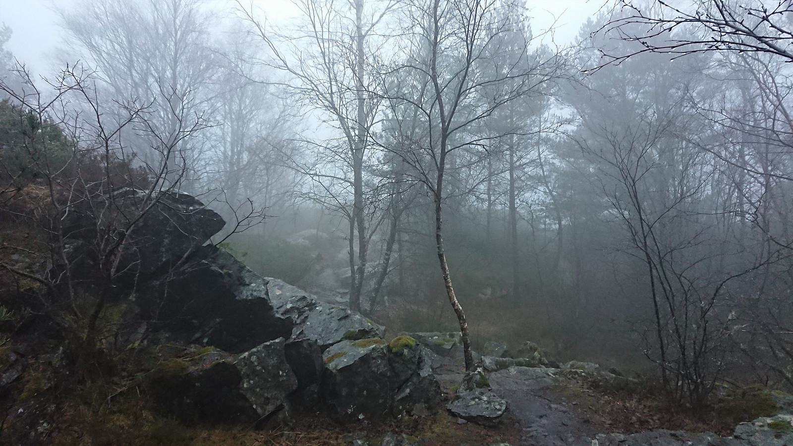 Short local hike across Ørneberget and Hellen festning. The strong winds from yesterday had died down, but instead replaced by fog and constant rain.
Ørneberget and Rognåsen
- Datum:
- 23.03.2020
- Tourcharakter:
- Bergtour
- Tourlänge:
- 1:16h
- Entfernung:
- 6,1km
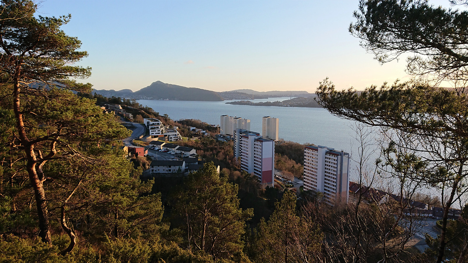
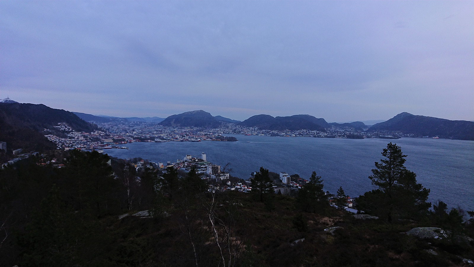 Yet another short local evening hike, this time in strong winds across Ørneberget and Rognåsen.
Hellen festning and Ørneberget
- Datum:
- 22.03.2020
- Tourcharakter:
- Bergtour
- Tourlänge:
- 1:03h
- Entfernung:
- 4,9km
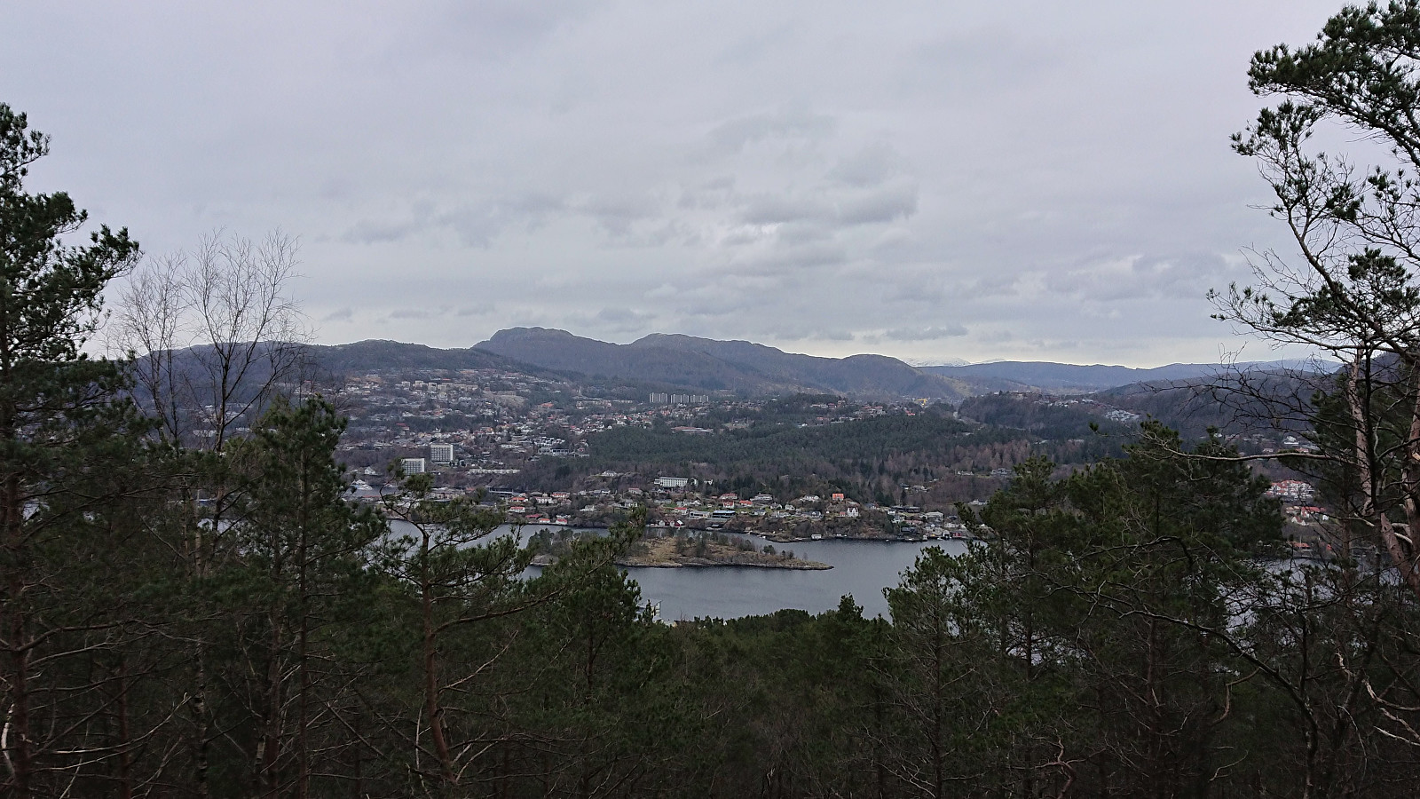 Another short local hike.
Ulskebjørnen, Øst for Stangelifjellet, Storsåta and Nukane
- Datum:
- 21.03.2020
- Tourcharakter:
- Bergtour
- Tourlänge:
- 5:01h
- Entfernung:
- 19,5km
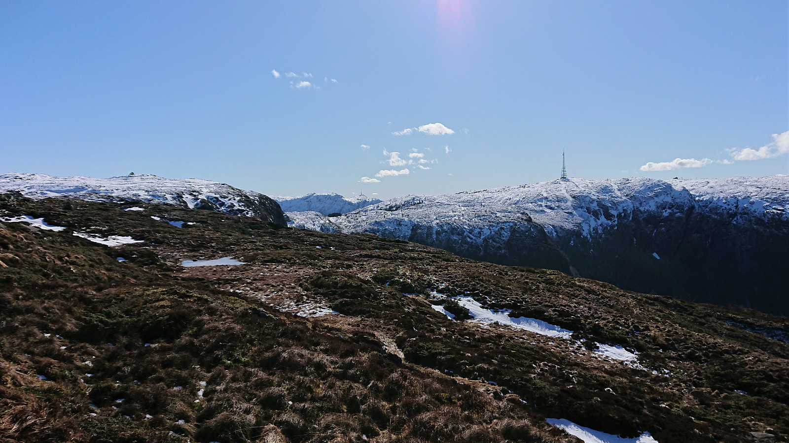 A Saturday with excellent weather for hiking usually means travelling to visit new peaks, but with public transportation out of the question due to the Coronavirus, I had to settle for a more local alternative. Some unexpected ice in between Ulskebjørnen and Nukane , but otherwise a very enjoyable hike!
Fagerdalsfjellet and Ørneberget
- Datum:
- 20.03.2020
- Tourcharakter:
- Bergtour
- Tourlänge:
- 1:21h
- Entfernung:
- 5,2km
 Short local evening hike.
Hellen festning and Ørneberget
- Datum:
- 18.03.2020
- Tourcharakter:
- Bergtour
- Tourlänge:
- 1:07h
- Entfernung:
- 3,9km
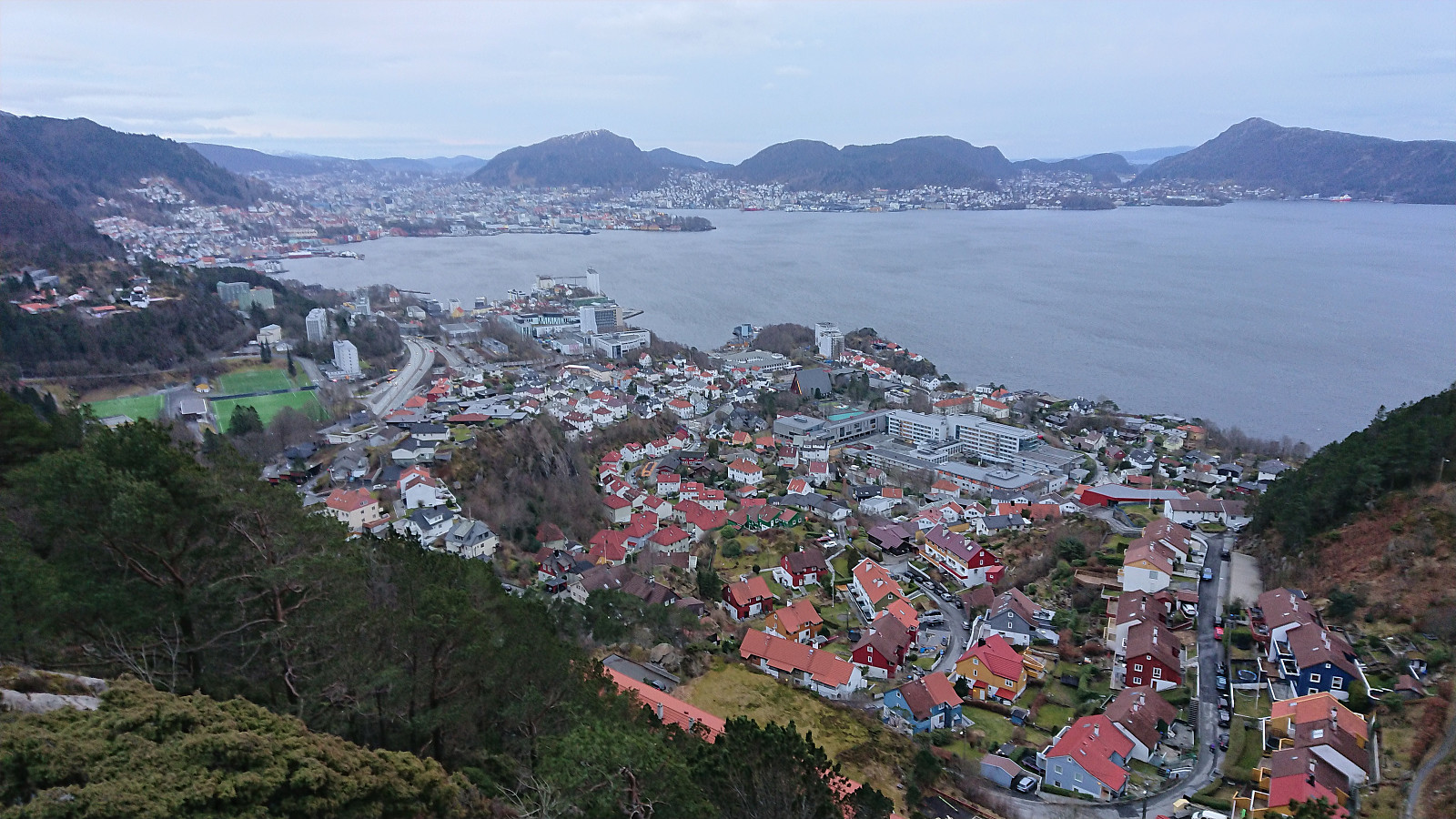
 Short local hike across Hellen festning and Ørneberget.
Ørneberget and Hellen festning
- Datum:
- 16.03.2020
- Tourcharakter:
- Bergtour
- Tourlänge:
- 1:03h
- Entfernung:
- 3,8km
 Short local evening hike after another day of working from home due to the Coronavirus restrictions.
Ørneberget, Rognåsen and Håmanen
- Datum:
- 14.03.2020
- Tourcharakter:
- Bergtour
- Tourlänge:
- 2:01h
- Entfernung:
- 8,4km
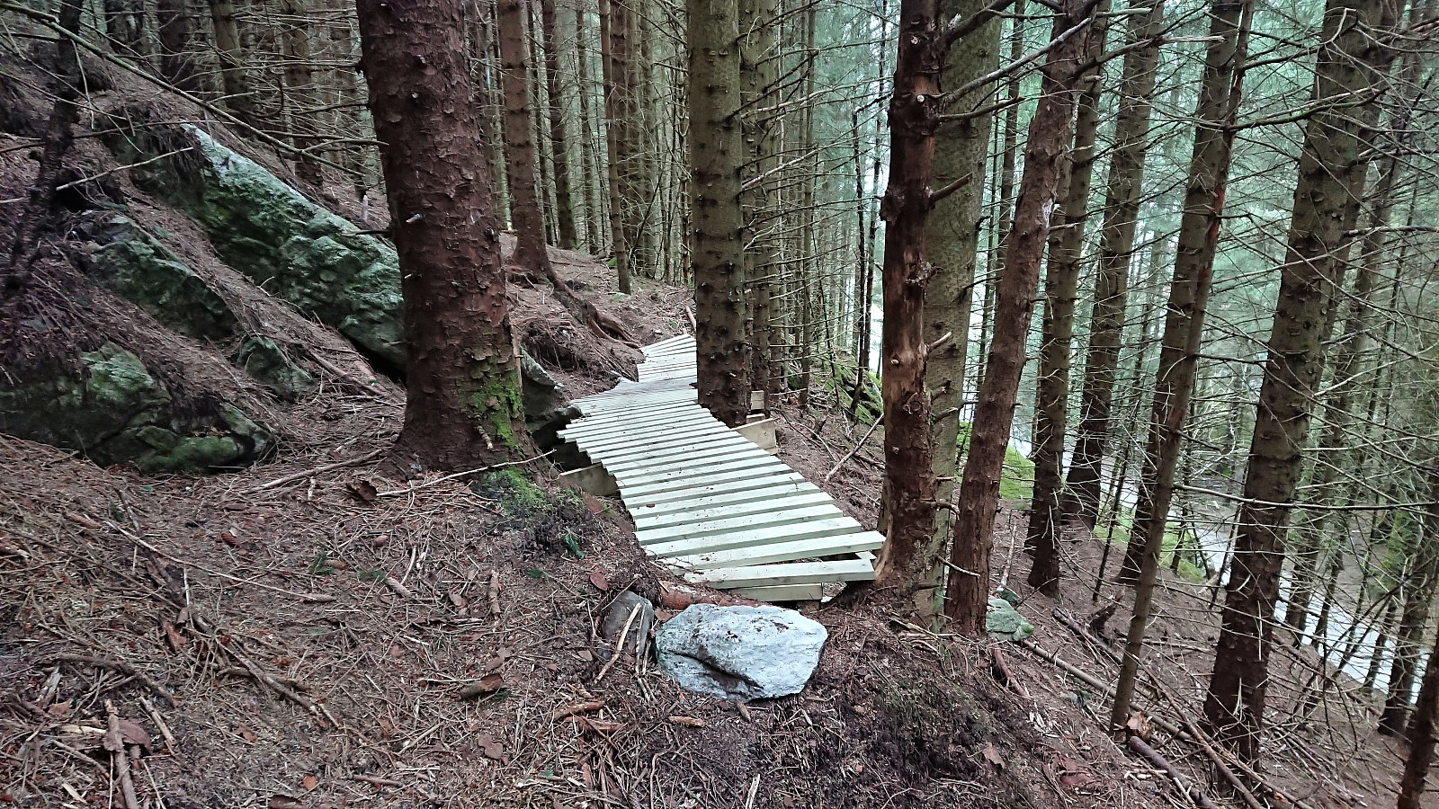 Local hike along familiar trails, with the exception of discovering a new mountain biking trail heading north from Hellemyrstien and later connecting with the road to Eidsvåg. Lots of work had clearly gone into preparing this trail. Too challenging for my biking skills though.
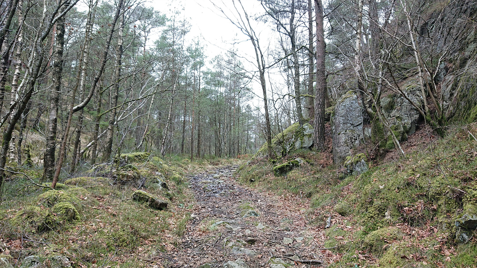
Litla Gullberg from Leirvik
- Datum:
- 08.03.2020
- Tourcharakter:
- Bergtour
- Tourlänge:
- 0:42h
- Entfernung:
- 3,3km
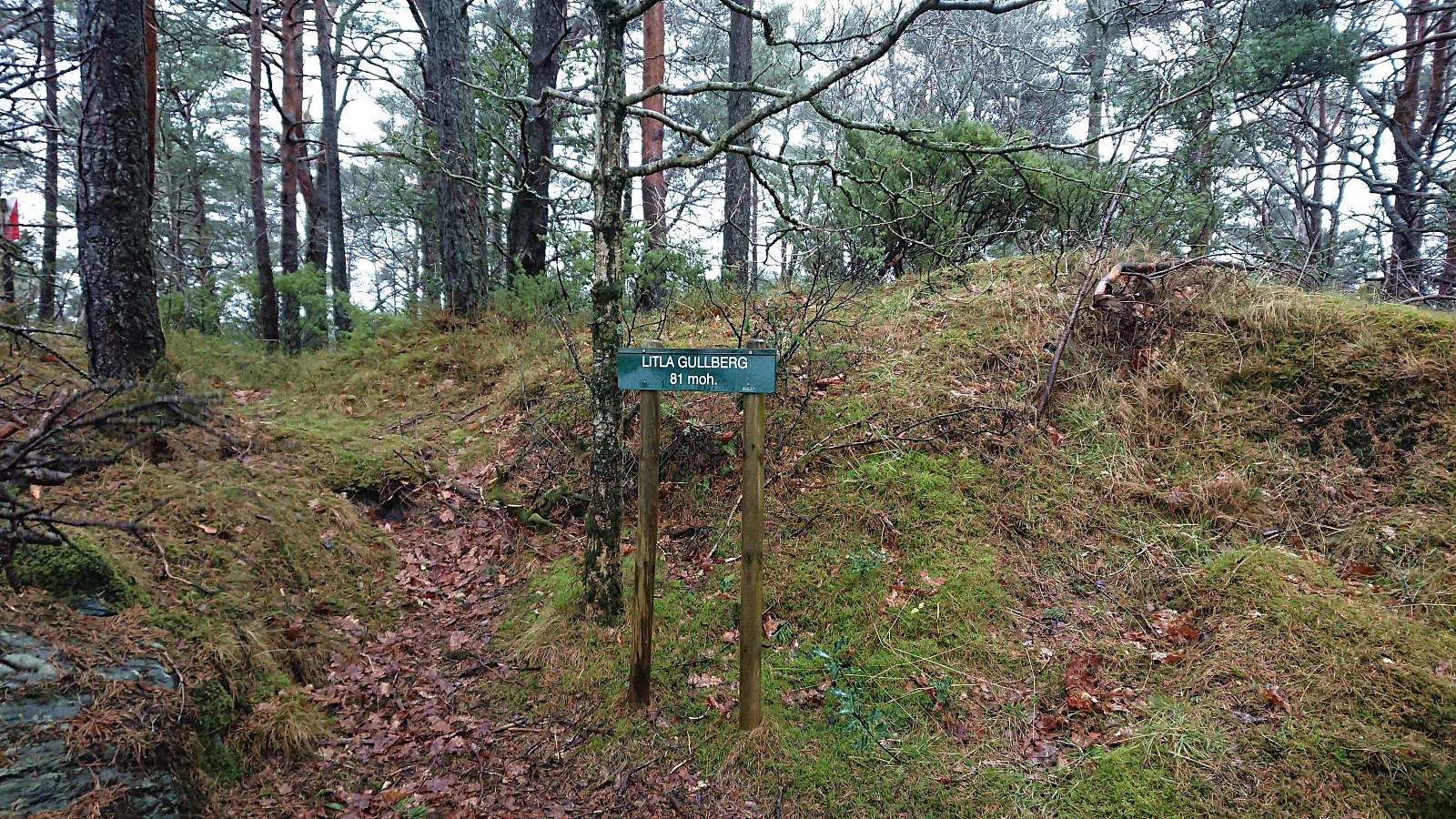 Managed to squeeze in a short hike in between breakfast and checking out of the hotel. I followed various roads from the center of Leirvik to the marked trailhead for Litla Gullberg . The trail was initially very wet. Only around 200-250 meters from the gravel road to the summit though, and the quality soon improved. The summit provided excellent views southeast, but today rather limited due to the low-hanging clouds. Combined with strong winds, and a hotel check-out deadline to make, I did not stay long before returning along the same route back to Leirvik.
Dyviksåta and Utslettefjellet
- Datum:
- 07.03.2020
- Tourcharakter:
- Bergtour
- Tourlänge:
- 2:28h
- Entfernung:
- 10,0km
 When spending the weekend at Stord for a birthday party, I of course managed to find time for a short hike before the evening's celebrations were to commence. The poor weather resulted in nobody else wanting to join though. Securing a lift was significantly easier, and I was soon dropped off at the marked trailhead for Dyviksåta .
From there, the marked trail could easily be followed all the way to the summit, which today provided relatively limited views due to the low-hanging clouds. There was a visitor register, but it was soaked and therefore I did not attempt to sign my name. Given the increasing amounts of rain and the strong winds, I did not stay long before returning along the same trail.
Upon reaching the road, I followed it south for about 800 meters to the unmarked gravel road indicating the >>>
When spending the weekend at Stord for a birthday party, I of course managed to find time for a short hike before the evening's celebrations were to commence. The poor weather resulted in nobody else wanting to join though. Securing a lift was significantly easier, and I was soon dropped off at the marked trailhead for Dyviksåta .
From there, the marked trail could easily be followed all the way to the summit, which today provided relatively limited views due to the low-hanging clouds. There was a visitor register, but it was soaked and therefore I did not attempt to sign my name. Given the increasing amounts of rain and the strong winds, I did not stay long before returning along the same trail.
Upon reaching the road, I followed it south for about 800 meters to the unmarked gravel road indicating the >>>
