Archiv - Nach Datum
Archiv - Nach Aktivität
-
Andere Tour (3)
- Kayaking (3)
-
Fahrradtour (110)
- Fahrradtour Straße (85)
- Fahrradtour gemischt (25)
-
Fahrzeugtour (9)
- Autotour (9)
-
Fußtour (1884)
- Bergtour (1114)
- Jogging (1)
- Spaziergang (59)
- Wanderung (710)
-
Skitour (116)
- Langlauf (47)
- Tourenskilauf (69)
Gesammelte Listen
-
Utvalgte topper og turmål i Bergen
(348/349)
 99%
99% -
Alle topper i Bergen
(391/398)
98%
-
Voss ≥ 100m pf.
(96/98)
97%
-
Opptur Hordaland
(144/159)
90%
-
Stasjoner på Bergensbanen
(33/40)
82%
-
Ulvik ≥ 100m pf.
(28/38)
73%
-
Hordaland ≥ 100m pf.
(622/863)
72%
-
Mjølfjell PF > 100m
(21/31)
67%
-
Jondal ≥ 100m pf.
(15/23)
65%
-
Dagsturhyttene i Vestland
(36/61)
59%
-
Sunnhordland PF >= 100m
(105/186)
56%
-
Hordaland: Hardanger PF>=100m
(194/359)
54%
-
DNT-hytter i Hordaland
(23/45)
51%
-
Kvinnherad ≥ 100m pf.
(40/79)
50%
-
Eidfjord ≥ 100m pf.
(13/42)
30%
-
Sogndal ≥ 100m pf.
(23/81)
28%
-
Gulen ≥ 100m pf.
(15/54)
27%
-
Vik i Sogn ≥ 100m pf.
(10/46)
21%
-
Sogn - Sør for Sognefjorden PF>=100m
(31/159)
19%
-
DNT-hytter i Sogn og Fjordane
(8/47)
17%

Tellevikafjellet and Veten from Salhus
- Datum:
- 08.05.2021
- Tourcharakter:
- Bergtour
- Tourlänge:
- 5:46h
- Entfernung:
- 21,1km
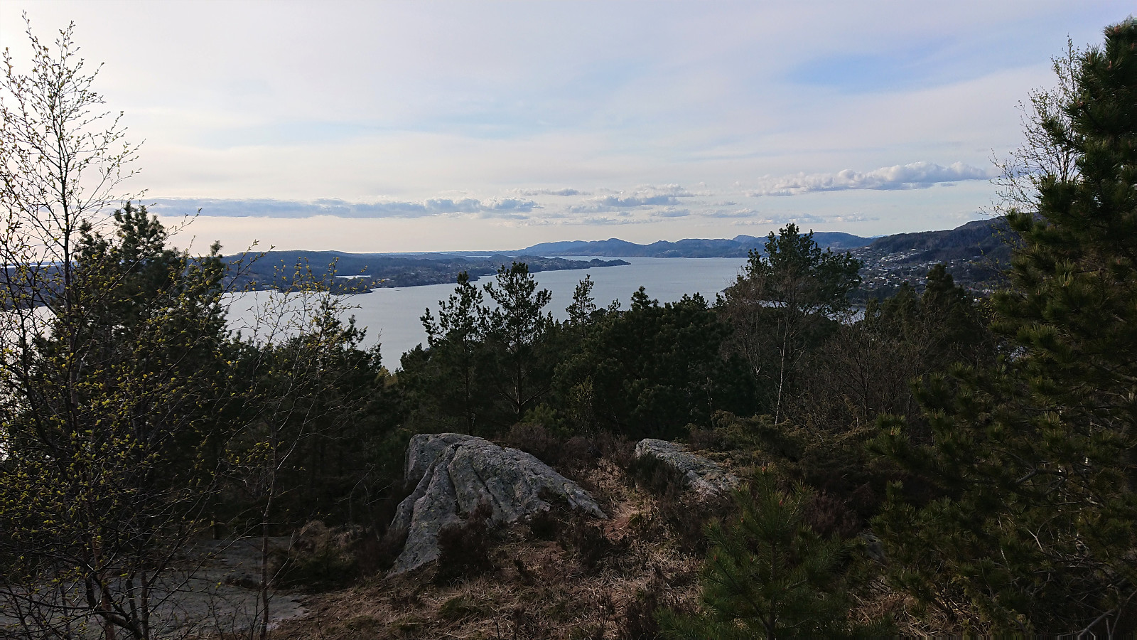
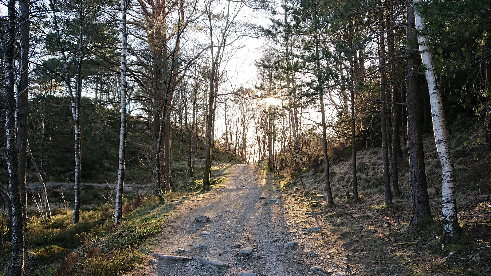
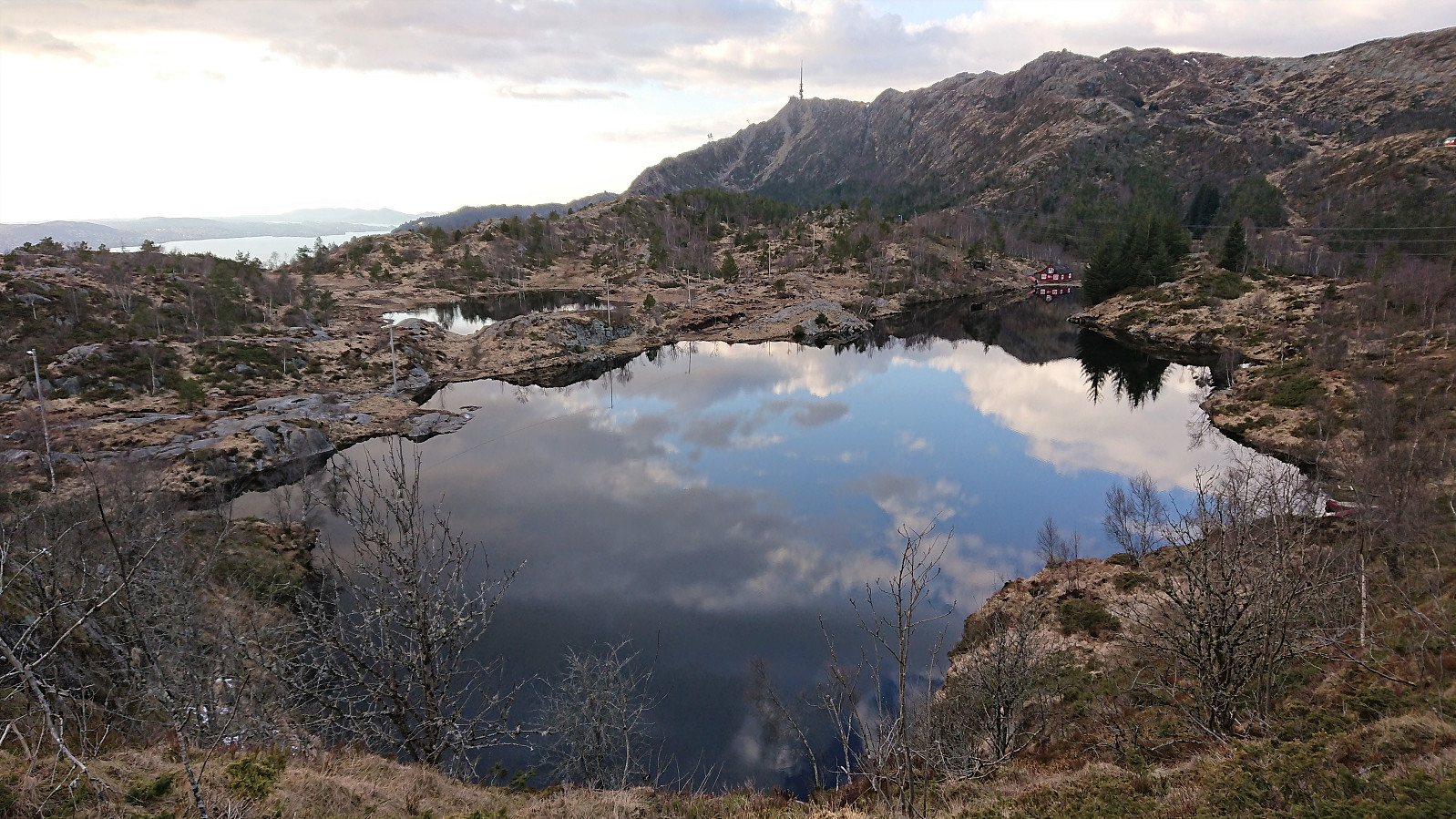
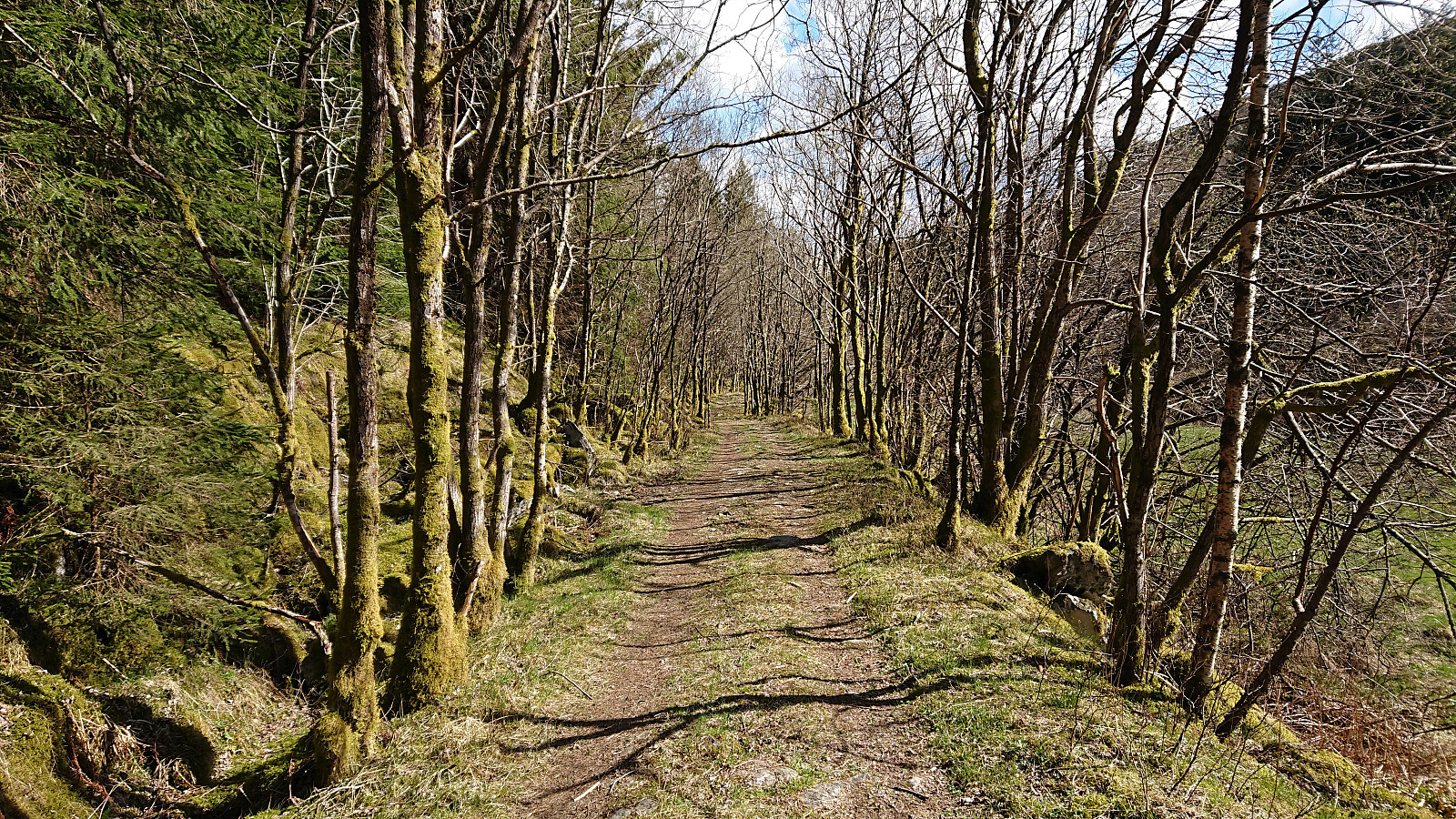 The goal of this hike was to ascend Tellevikafjellet from Salhus. I therefore started by taking the bus to Salhus and the bus stop called "Slettebakken Tellevikvegen", which happened to be less than 200 meters from the unmarked trailhead at the end of a short side road that started directly from the bus stop. The trail was of good quality, even included several wooden bridges, and could easily be followed. At the third bridge, the trail split, and I followed the option heading southeast along the river up to Milastemma .
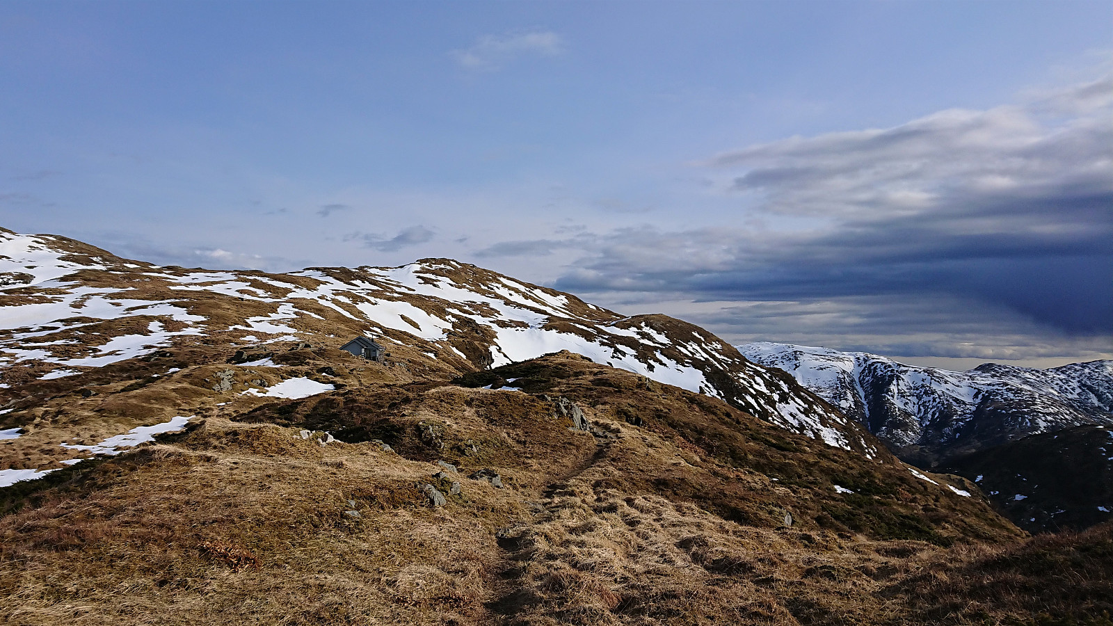
Halfway in between Milastemma and Tellevikafjellet, I saw the tail end of the first viper, i.e. hoggorm, of 2021 as it disappeared into its hiding place close to the trail. It would not be the last of the hike though, but more on that later... After visiting both the trig marker at Tellavikafjellet >>>
The goal of this hike was to ascend Tellevikafjellet from Salhus. I therefore started by taking the bus to Salhus and the bus stop called "Slettebakken Tellevikvegen", which happened to be less than 200 meters from the unmarked trailhead at the end of a short side road that started directly from the bus stop. The trail was of good quality, even included several wooden bridges, and could easily be followed. At the third bridge, the trail split, and I followed the option heading southeast along the river up to Milastemma .
Halfway in between Milastemma and Tellevikafjellet, I saw the tail end of the first viper, i.e. hoggorm, of 2021 as it disappeared into its hiding place close to the trail. It would not be the last of the hike though, but more on that later... After visiting both the trig marker at Tellavikafjellet >>>
Utapåegga and Skylefonnstølen
- Datum:
- 05.05.2021
- Tourcharakter:
- Bergtour
- Tourlänge:
- 2:54h
- Entfernung:
- 5,8km
 We parked at Utapåegga p-lomme where there was room for about three cars, and easily located the unmarked trailhead. After a steep start, we crossed an open field and passed through a gate to arrive at the start of an excellent trail that would take us up Utapåegga . This was clearly an old trail that had been used by the farmers in the area, something that became even more obvious when we passed by several unnamed ruins at about 250 meters above sea level. The trail could easily be followed all the way to Skylefonnstølen , and even seemed to continue from there towards Vossavardane NV . We considered heading that way ourselves, but in the end we decided to rather start our descent due to an increasingly cold wind. Throughout the descent we could enjoy the spectacular panoramic views towards the north. Overall, an outstanding hike that can be very >>>
Fagerdalsskaret, Ørneberget NV and Ørneberget
- Datum:
- 04.05.2021
- Tourcharakter:
- Bergtour
- Tourlänge:
- 2:13h
- Entfernung:
- 4,6km
 Short local evening hike.
Ørneberget and Rognåsen
- Datum:
- 30.04.2021
- Tourcharakter:
- Bergtour
- Tourlänge:
- 2:55h
- Entfernung:
- 5,3km
 Short local evening hike.
Searching for Fjeldborg - Part III
- Datum:
- 27.04.2021
- Tourcharakter:
- Bergtour
- Tourlänge:
- 3:16h
- Entfernung:
- 8,7km
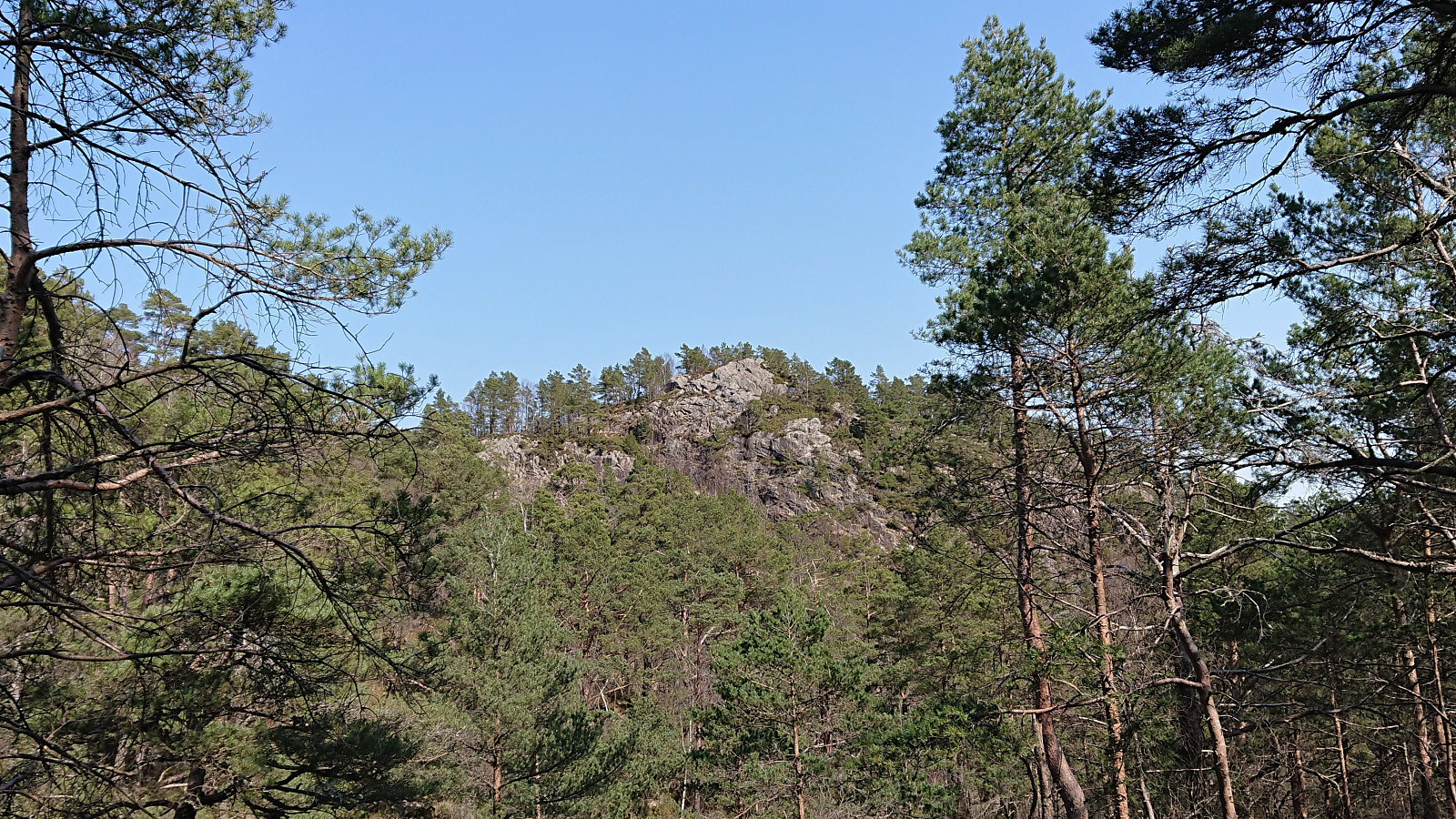
 Another return to Landåsfjellet to continue my search for the ruins of Fjeldborg (see my two earlier attempts here and here ), this time mainly focusing on the area south/southwest of Berlehytten . Fewer locations to inspect here, as the terrain is generally too steep to match the pictures in Bergensernes Fjellverden II, but no success this time either. In order to get something new out of the hike, I then headed for the suggested location of Jotneberg d.e. as Kjell51 (Kjell Øijorden) had indicated in his trip report a month earlier . The suggested spot was easily located, although I could not find any traces of the cabin itself, probably due to most of it having been reused when building the new Jotneberg close by. Before heading home, I also made a detour to the summit of Landåsfjellet before enjoying some excellent views across Nubbevatnet as the sun finally decided to appear. The hike was then concluded by crossing >>>
Hellen festning and Ørneberget
- Datum:
- 26.04.2021
- Tourcharakter:
- Bergtour
- Tourlänge:
- 1:34h
- Entfernung:
- 6,8km
 Short local evening hike, managing to pick just the one hour when it rained...
Ørneberget, Ørneberget NV and Fagerdalsskaret
- Datum:
- 23.04.2021
- Tourcharakter:
- Bergtour
- Tourlänge:
- 0:57h
- Entfernung:
- 3,8km
 Short local evening hike.
Ørneberget and Hellen festning
- Datum:
- 22.04.2021
- Tourcharakter:
- Bergtour
- Tourlänge:
- 0:56h
- Entfernung:
- 4,1km
 Short local evening hike.
Gravdalsfjellet, Damsgårdsfjellet and Olsokfjellet
- Datum:
- 18.04.2021
- Tourcharakter:
- Bergtour
- Tourlänge:
- 4:03h
- Entfernung:
- 13,9km
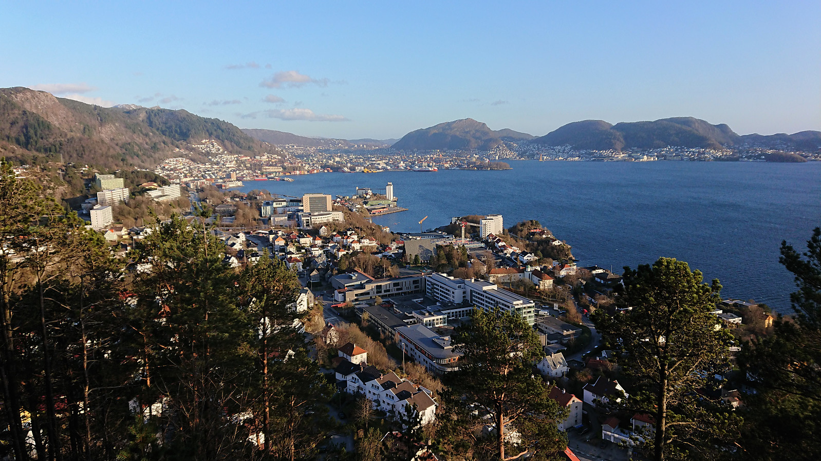
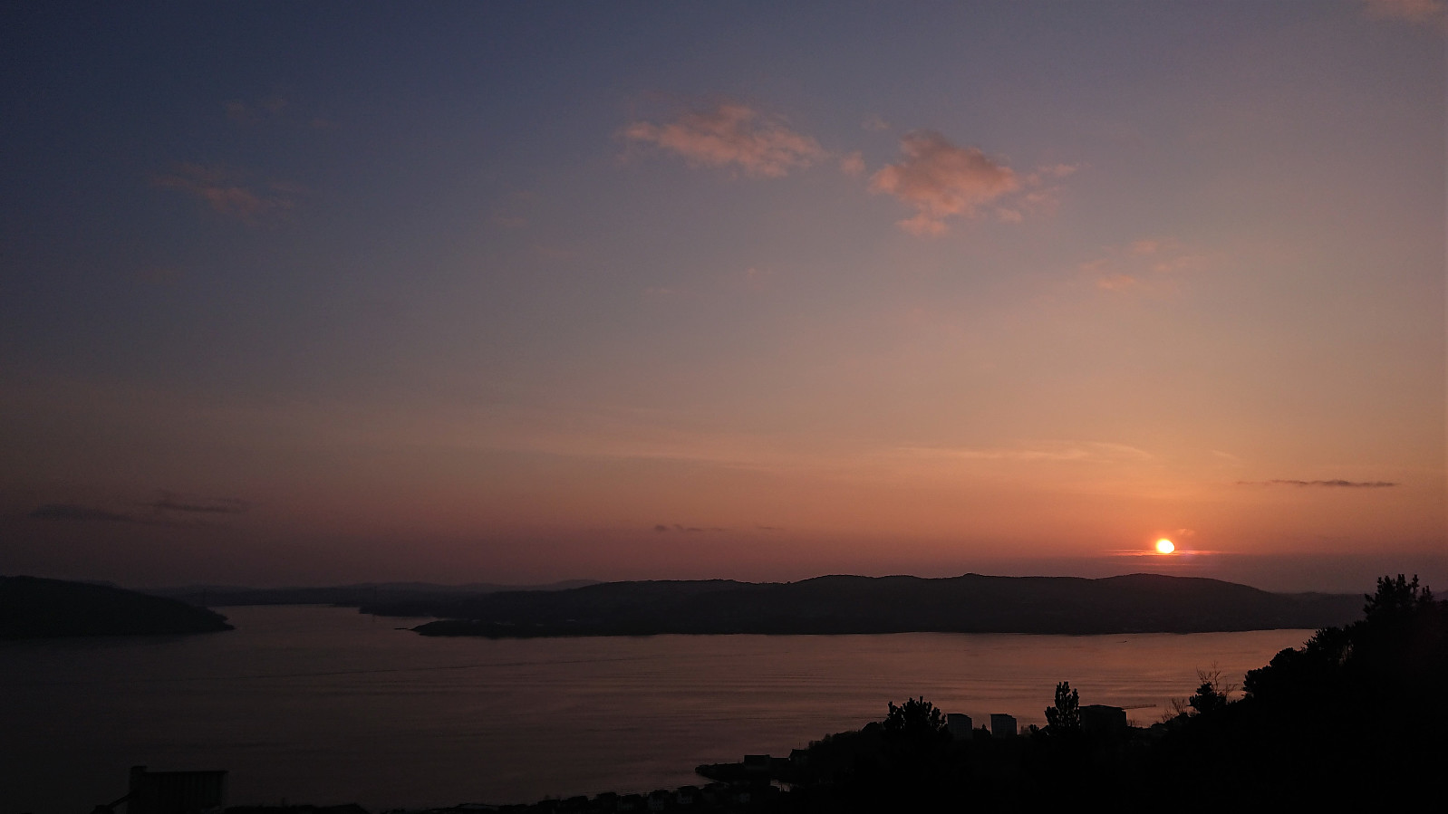
 Sunday hike in familiar terrain that included a first visit of Fyllingsnipa . There was a trail all the way to the summit which itself provided excellent views and a great location for my lunch break. Note that I had Fyllingsnipa all to myself, while Viggohytten seemed to be the goal for most other hikers and thus looked pretty busy. Just shows that one does not have to stray very far from the main trails in order to not have to compete for the best views.
Håmanen
- Datum:
- 14.04.2021
- Tourcharakter:
- Bergtour
- Tourlänge:
- 3:06h
- Entfernung:
- 7,9km
 Short local evening hike.
