Archiv - Nach Datum
Archiv - Nach Aktivität
-
Andere Wintertour (3)
- Schneeschuhtour (3)
-
Fahrzeugtour (1)
- Autotour (1)
- Fußtour (137)
-
Klettern (23)
- Alpinklettern (9)
- Klettersteig (2)
- Sportklettern (11)
-
Skitour (62)
- Langlauf (1)
- Randonnée/Telemark (58)
- Tourenskilauf (3)


Gesammelte Listen
-
Norges 1000 største fjell målt i primærfaktor
(45/1000)
 4%
4%

Lieblingstouren
Lieblingsgipfel


Tønsvik - Tromsdalen
- Datum:
- 16.09.2021
- Tourcharakter:
- Jogging
- Tourlänge:
- 4:05h
- Entfernung:
- 29,9km
Finnkollen og Synnøvjordtinden
- Datum:
- 29.08.2021
- Tourcharakter:
- Jogging
- Tourlänge:
- 3:08h
- Entfernung:
- 13,8km
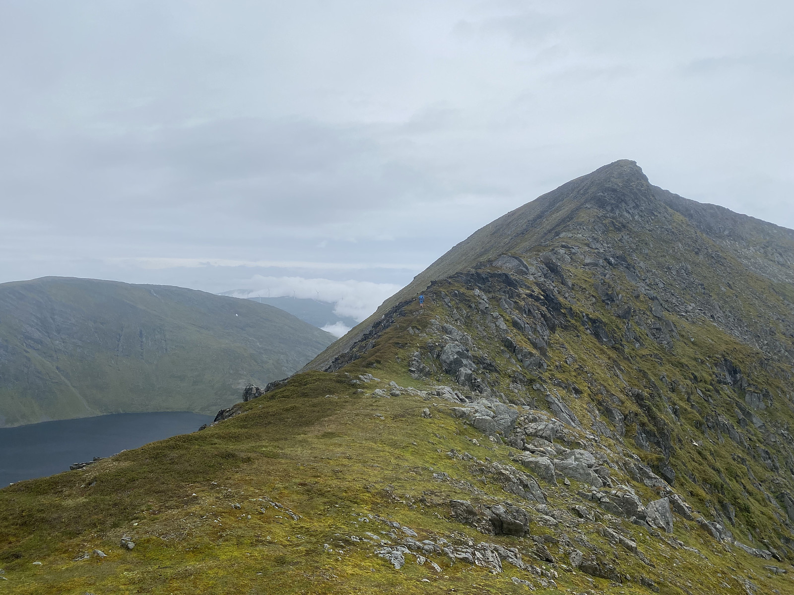 Vi parkerte like ved den rød pil i Synnøvjorda som viser starten på stien opp mot Synnøvjordtinden. Vi løpt (eller, Pettan løpt og jeg gikk) opp stien og når vi kom til det første vatnet på 275moh satt vi kurs mot Finnkollen. Her gikk vi hovedsakelig i lyng før vi nærmet oss ryggen, hvor terrenget var mye mer lettgått. Vi løpt langs ryggen ei stund og deretter ned mot Store Synnøvjordvatnet. Vi holdt til vestsiden av elven og trasket sakte men sikkert opp i mye lyng igjen mot skaret og ryggen av Synnøvjordtinden. Med en gang vi møt ryggen ble turen utrolig mye finere i mine øyer, og herifra var det lettløpt terreng med delvis sti opp mot den store varde på toppen. Stien ned fra dette fjellet er alltid en drøm, og Pettan er nok en av de som er like glad i nedøver løping >>>

