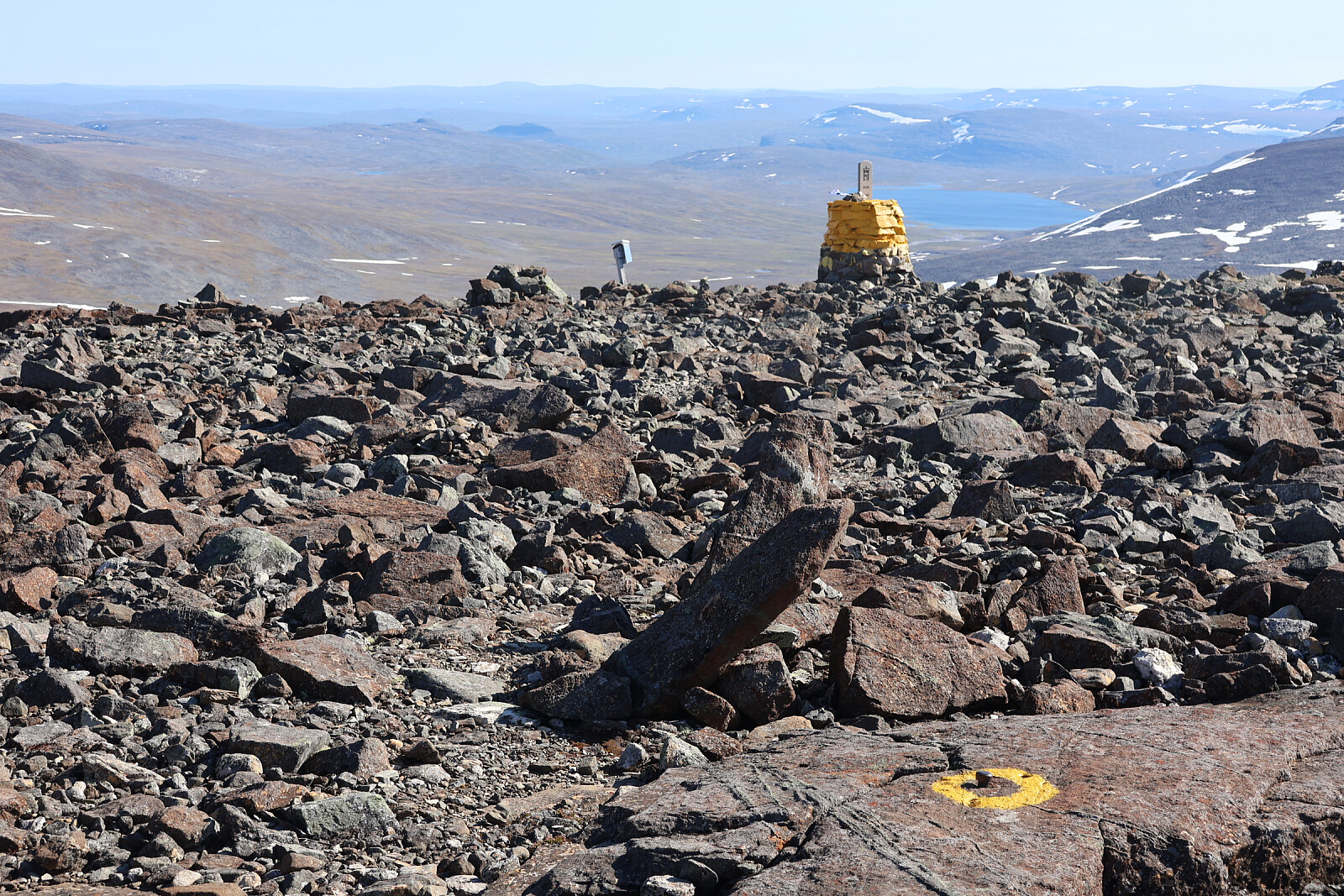
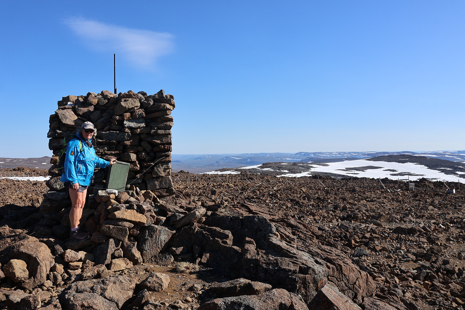
The highest point in Finland is 100m from the top of the mountain known as Haldi. The international boundary just slices across the top of the hill. 2km away there is a higher mountain, Raisduottarhaldi, entirely in Norway.
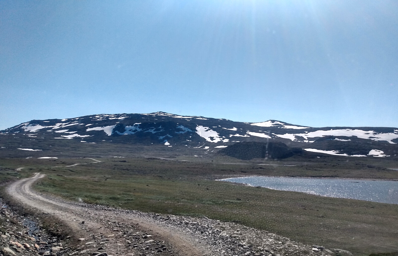
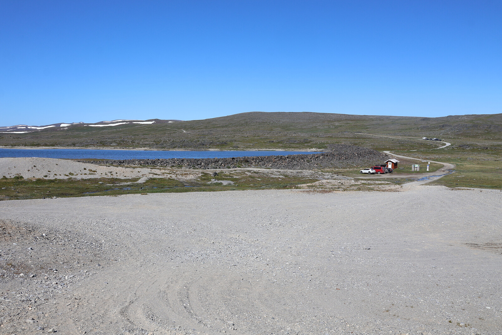
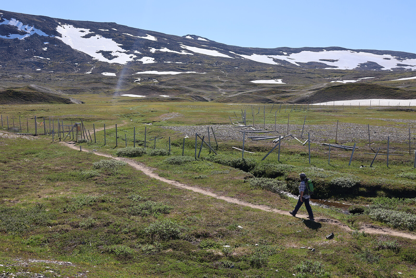
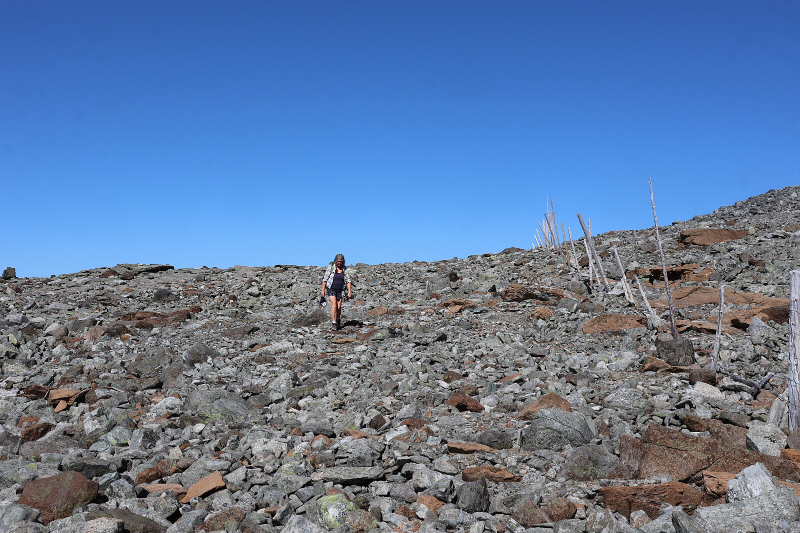
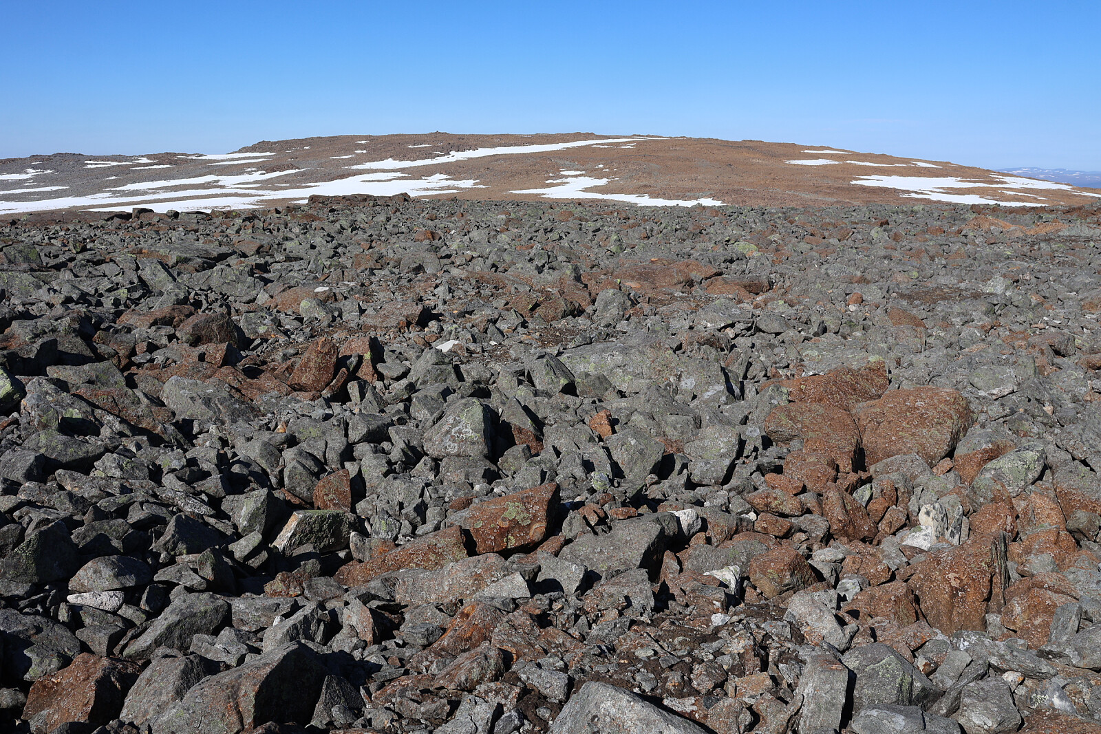
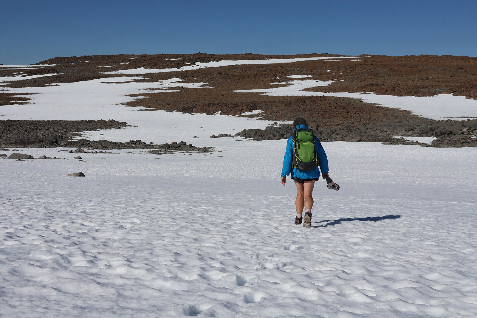
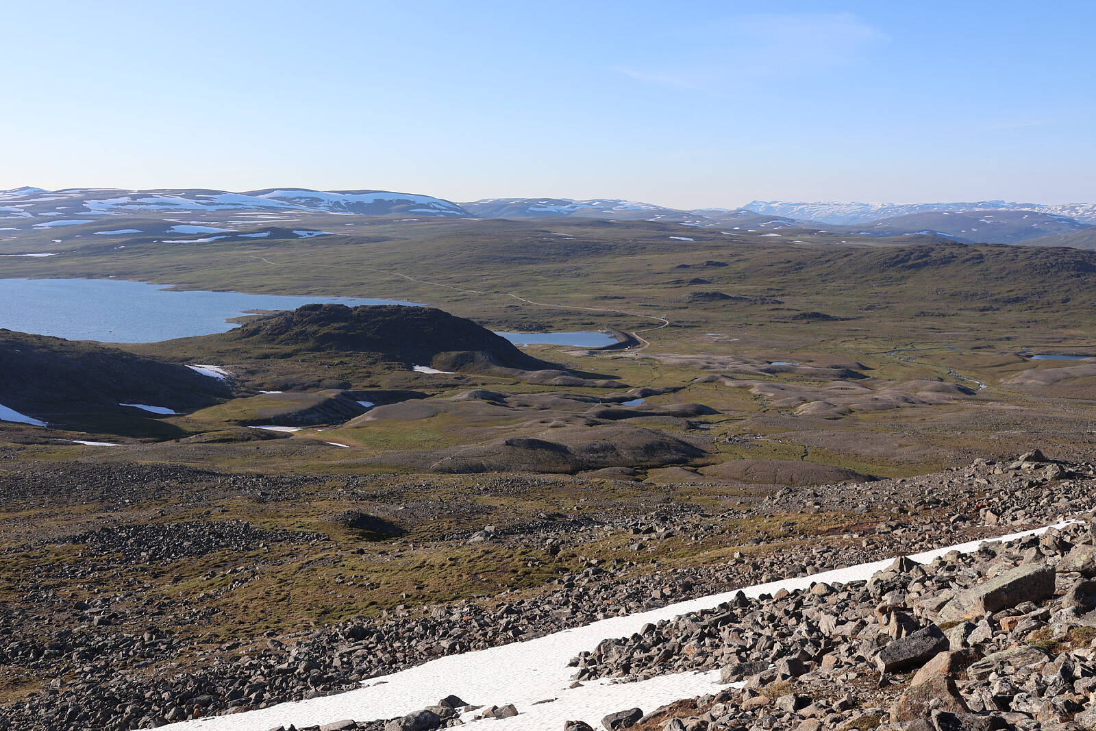
From high level lake Guolášjáavri (752m) at end of long (25km, toll) gravel road from Kafjord. Defined trail at first, up slopes but soon becoming a route entirely on loose blocks over plateau 6km to Hàldi summit and similar distance back over Raisduottarhàldi. A very long walk in warm sunshine. Some snow patches. One let us down and we sank through to the rocks below. Generally very poorly waymarked, just a sketchy line of cairns. The only respite from the boulders, which were canted at all angles, large and small, was the finer mud and gravel forced up by the permafrost, providing decent walking for 10m or more.
Driving 3 hours (took it easy, switchback gravel road), walking 7 - 8 hours. Stayed overnight at trailhead and drove out next day.


Benutzerkommentare