Hiking the southern part of Strøno (08.09.2018)

| Startpunkt | Sørstrøno (35m) |
|---|---|
| Endpunkt | Sørstrøno (35m) |
| Tourcharakter | Wanderung |
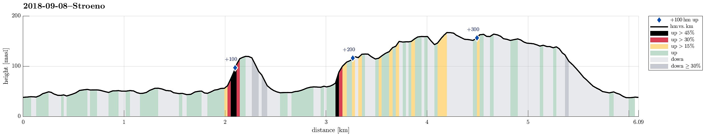
| Tourlänge | 2h 30min |
| Entfernung | 6,1km |
| Höhenmeter | 329m |
| GPS |
|
| Besteigungen | Husfjellet (122m) | 08.09.2018 |
|---|---|---|
| Kvitaråsen (169m) | 08.09.2018 |
Trip Summary
There was not really time for a longer hike and also it was expected that some rather heavy rain may come in the early evening. Therefore, we decided to do something smaller, i.e., a hike over Strøno south of Bergen (and west of Osøyro). We passed Fanafjellet with our car and turned right (westwards) at the military camp at Ulven. Following the street, we soon crossed over the bridge at Hillershavn to Strøno. Once on Strøno, we followed the southern street to Sørstrøno. From there, we started hiking, first following a major gravel road which passes by Strønevågen and Selvågspollen (in their northwest).
Husfjellet
Our first goal was Husfjellet, a little hill that stands a bit for its own in the very south of Strøno. We first continued on the gravel road, making a half-circle around the hill (in its north), approaching it then from its western side. Since we did not see any path, we simply crossed the forest on our own (the trees are standing relatively close to each other there, so getting through was a tiny bit of a "bush war". As soon as we came to the actual hillside of Husfjellet, proceeding got easier, ascending to the "top" (more or less) in a straight-forward way. Near the top, we also connected to a path, which seemingly comes up to Husfjellet from a more southern direction. See another trip report for a route that likely exploits this path.
Kolbakknova, Kongshaugen, and Kvitaråsen
We crossed Husfjellet and descended first in eastern direction. Once kind of down in "the flat", we found a path, marked with some plastic pieces, leading northwards. This path lead us back to the gravel road, which we had taken towards Husfjellet first. Almost a few meters from the place, where we had left the forest, stepping out onto the gravel road, we found a path leaving the gravel road in northwestern direction (on the other side). We followed this path, which was overgrown quite a bit, until we got to the western slope of Kolbakknova. There we left the path and ascended to the "top" of Kolbakknova. From there, we continued along trail that may have been mostly deer-trails, actually, into northeastern direction. Proceeding was relatively slow due to the lack of paths. Shortly before we came to Kongshaugen, we had to descend relatively steeply, just to get over to Kongshaugen. From there, we first approached Kvitaråsen, before then turning back into northeastern direction, again.
Turus Interruptus
About the time, when we left Kvitaråsen, we recognized that a thunderstorm was approaching (as expected, in principle) from the southeast. We thus decided, once we had reached a simple forest road, that it was time to head back to the car. We followed the forest road back down to Sørstrøno, where we got into the car just before the bad weather came. And that was quite satisfactory, since soon after "hell break loose" (enormous amounts of rain, lightning and thunder, strong winds, etc.).
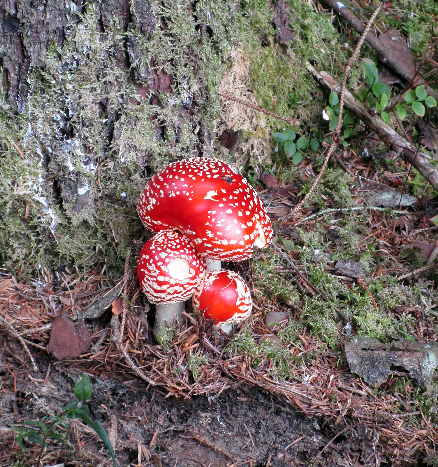
Photos
Selected photos are available as Google photo album.
Useful Resources
See also the related FB-page Hiking around Bergen, Norway.

Benutzerkommentare