
Husfjellet and Hjortåsen (17.02.2018)

Geschrieben von hbar (Harald Barsnes)

| Startpunkt | Sørstrøno (56m) |
|---|---|
| Endpunkt | Hetleflåten (40m) |
| Tourcharakter | Bergtour |
| Tourlänge | 3h 40min |
| Entfernung | 15,2km |
| Höhenmeter | 597m |
| GPS |
|
| Besteigungen | Hjortåsen Nord (208m) | 17.02.2018 |
|---|---|---|
| Hjortåsen Sør (207m) | 17.02.2018 | |
| Husfjellet (122m) | 17.02.2018 | |
| Besuche anderer PBE | Hjortåsen nord parkeringslomme (50m) | 17.02.2018 |
Husfjellet and Hjortåsen
Husfjellet
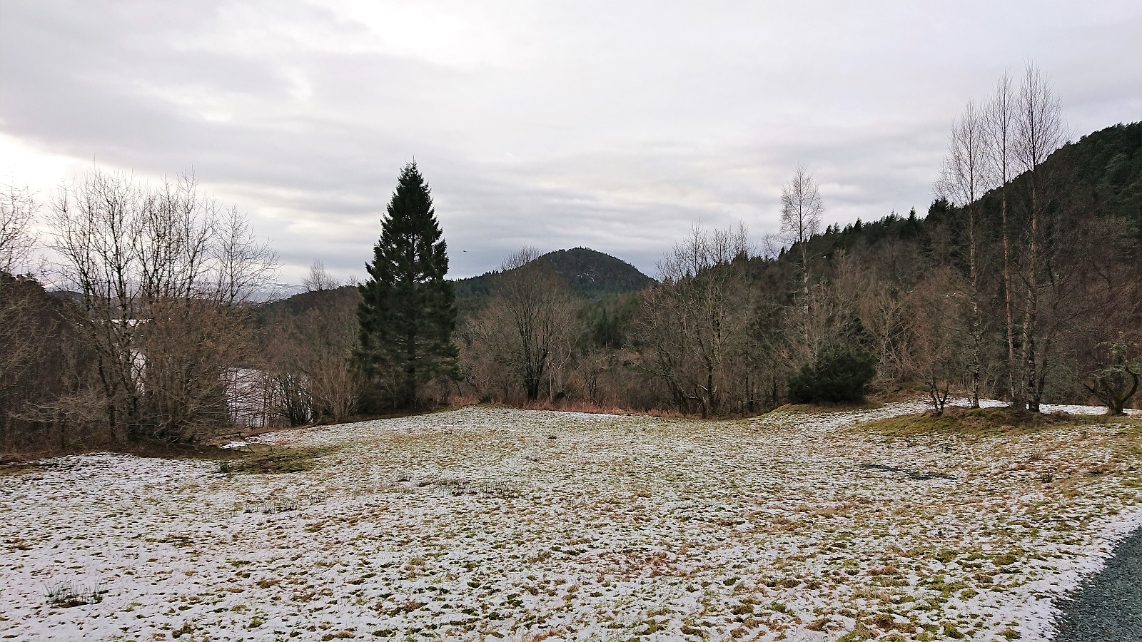
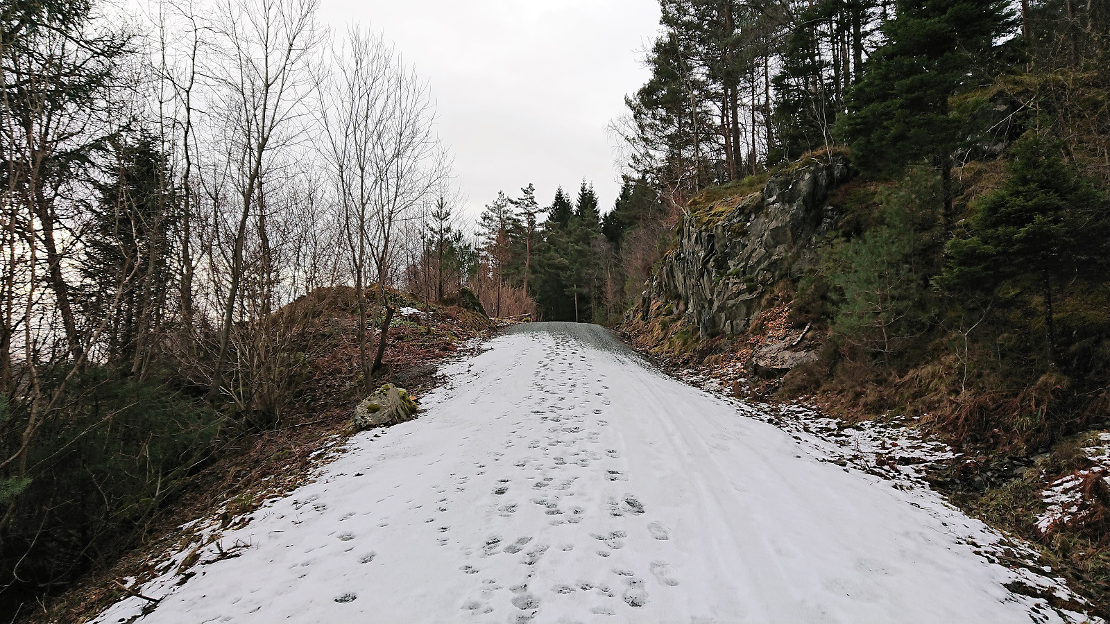
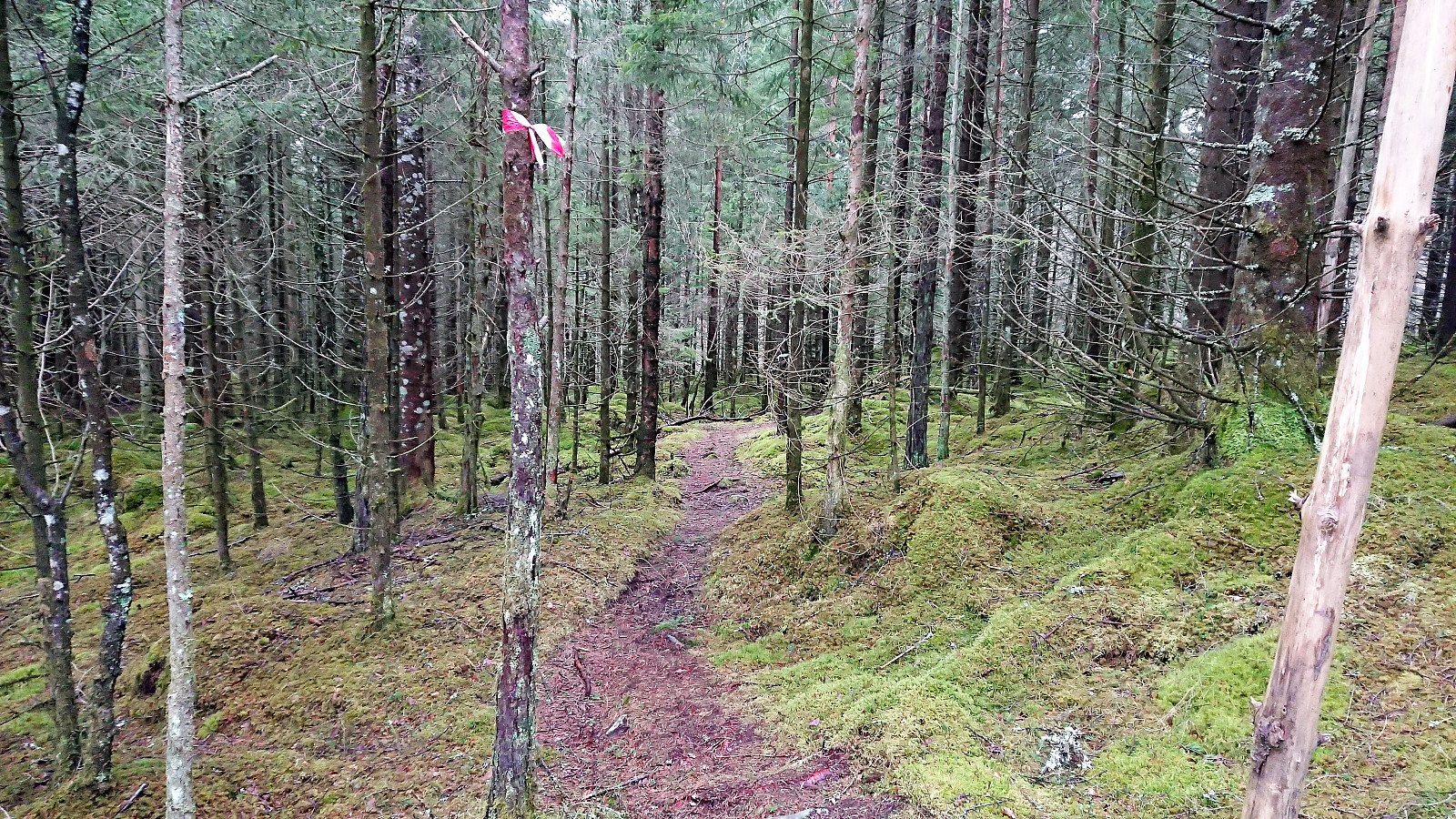
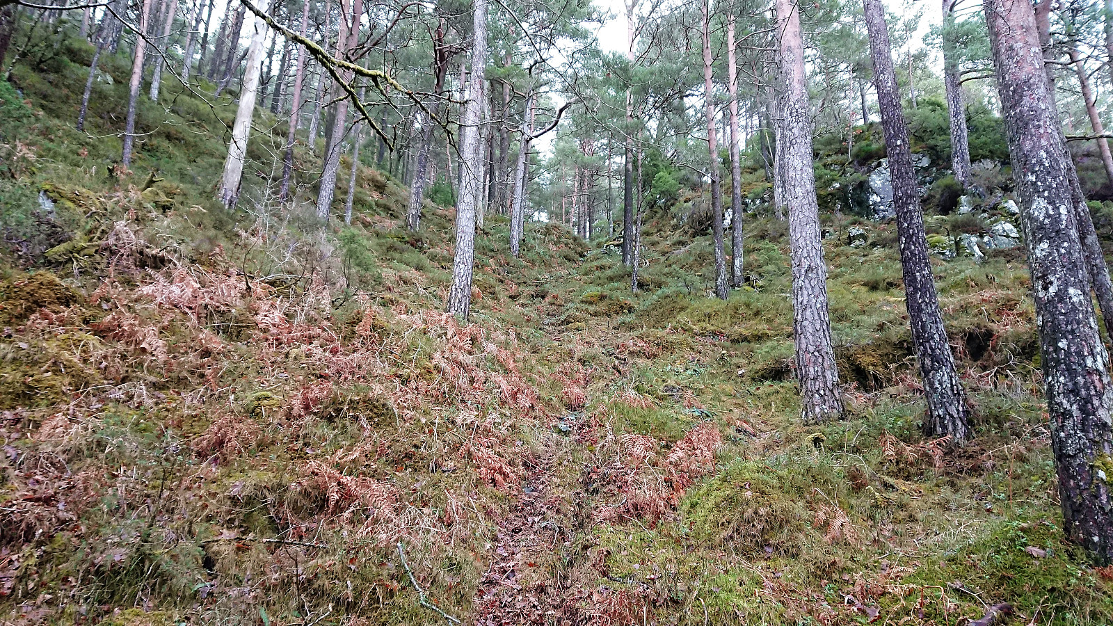
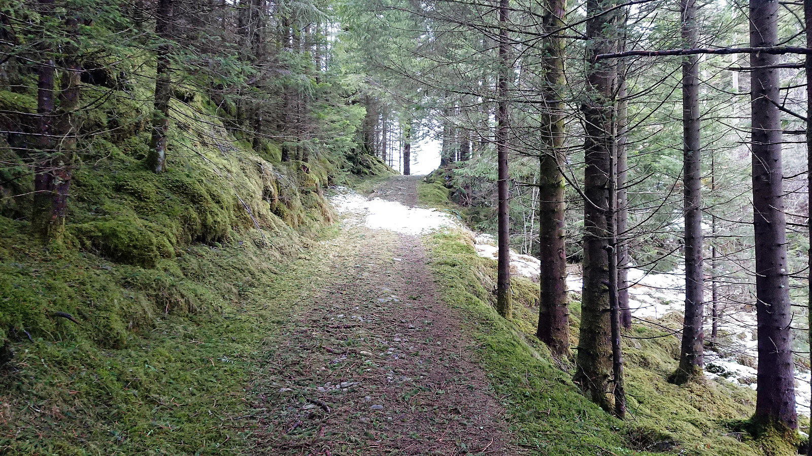
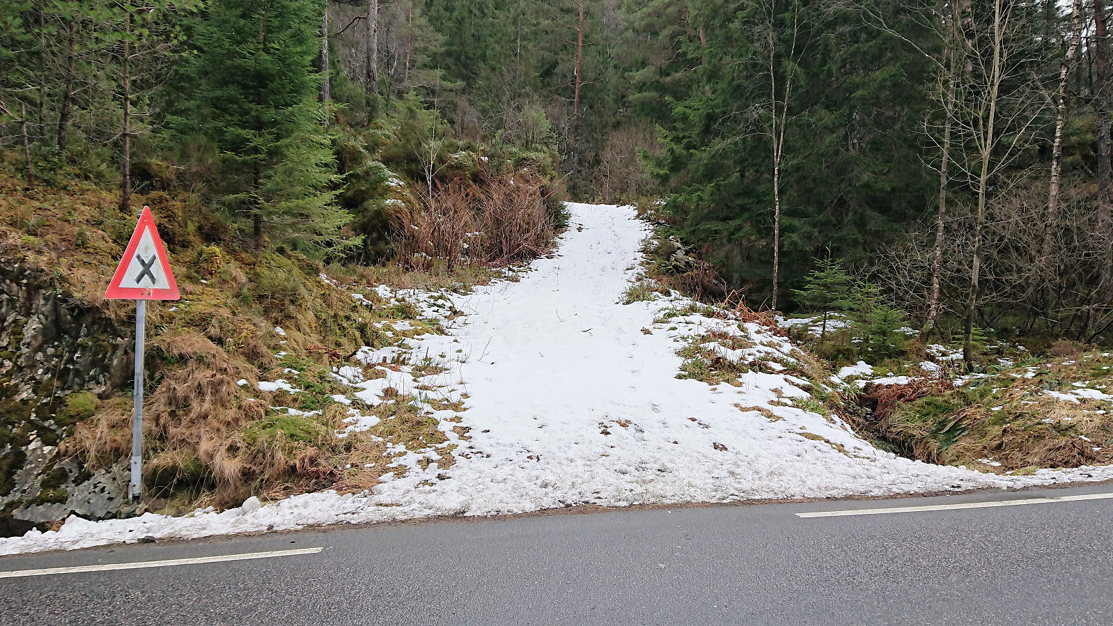
Started by taking the bus to Sørstrøno (bus stop called Sørstrøno sør) and from there followed the very nice gravel road in the direction of Husfjellet. The plan was to ascend along the ridge from the east. I did not assume that there would be any trails, so I was rather surprised when noticing a plastic trail marker in the trees to my right, clearly noticeable from the road (you have to be looking for it though). The trail itself was less clear, and I quickly lost it, before finding it again after a short steep ascent.
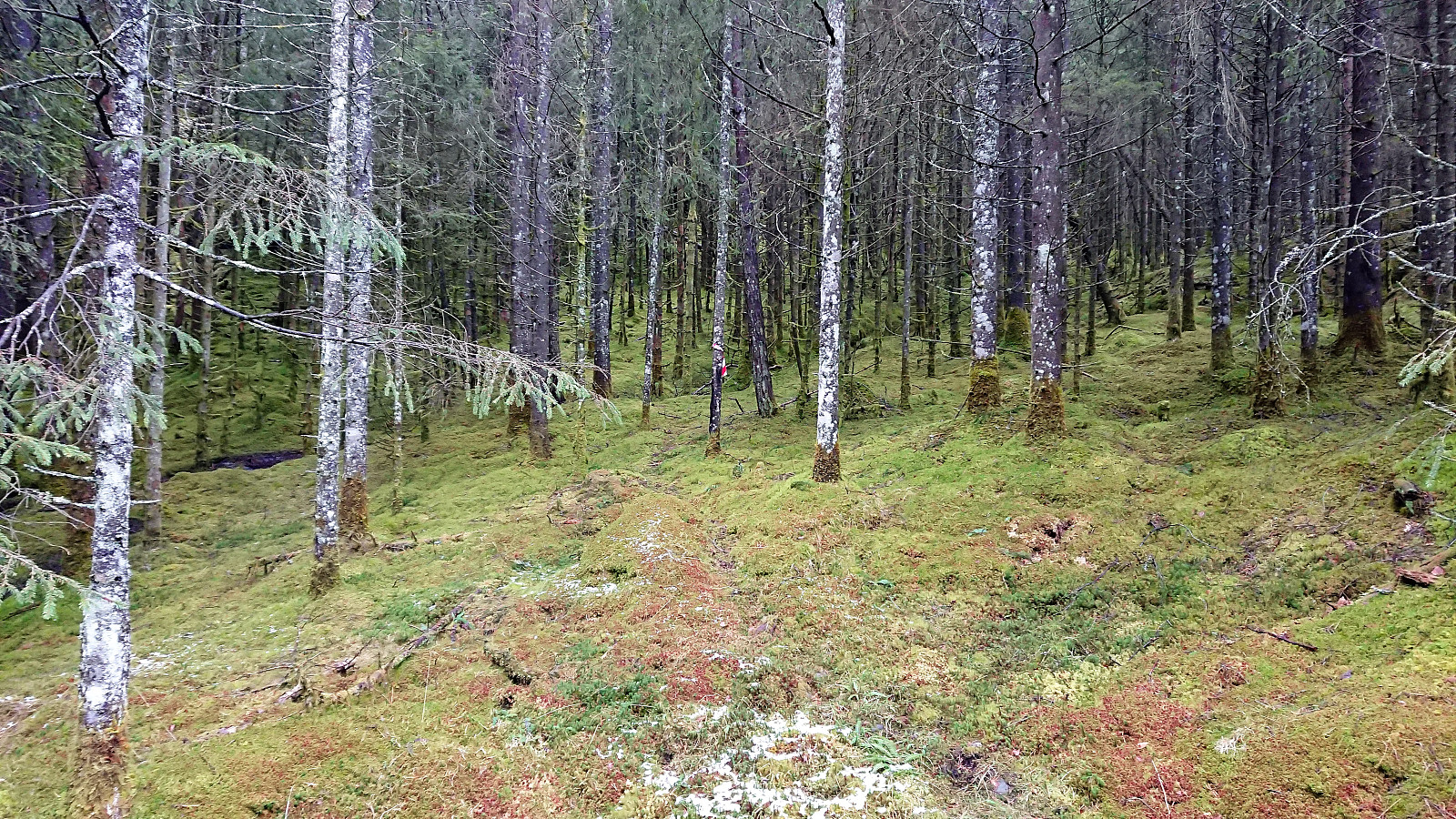
The marked trail however did not seem to head towards the summit, but rather continue south of the ridge, probably to reconnect with the gravel road that comes down on the west side of Husfjellet. After following it for a while, I therefore finally left the trail and headed directly towards the summit. No trails, but plenty of deer tracks that resulted in a relatively easy ascent.
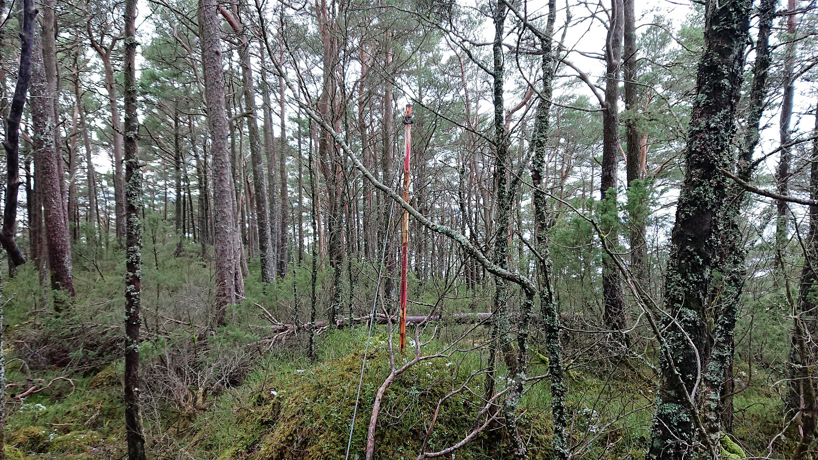
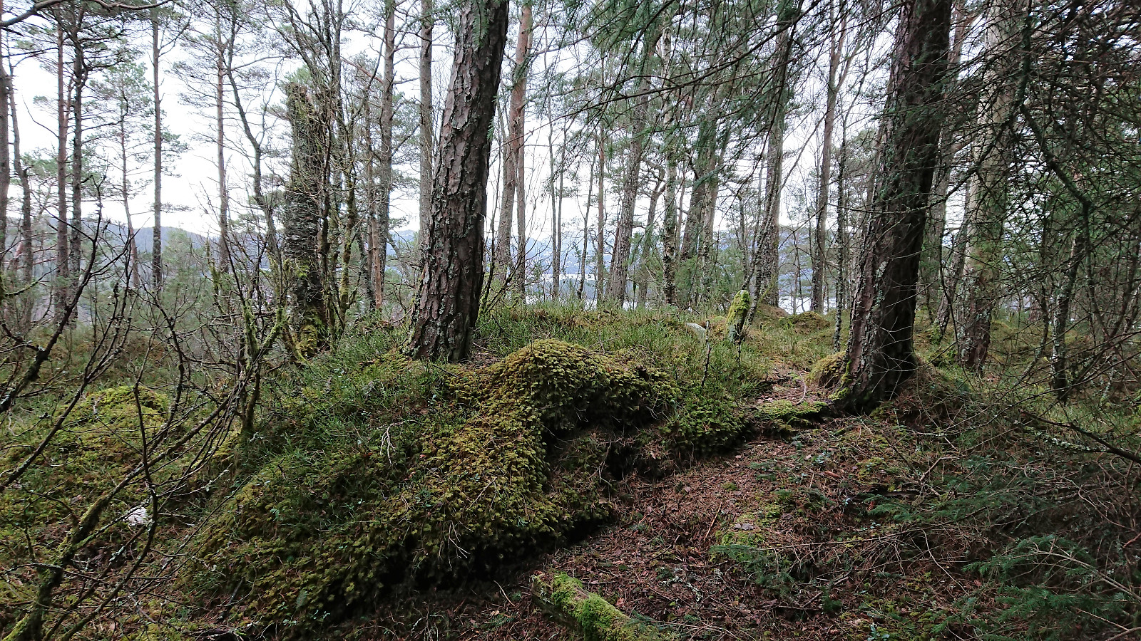
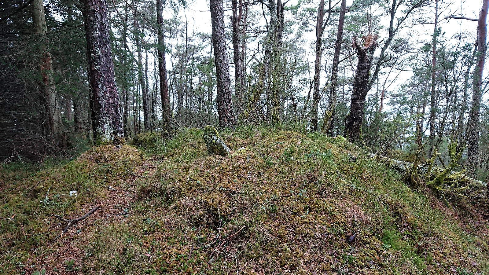
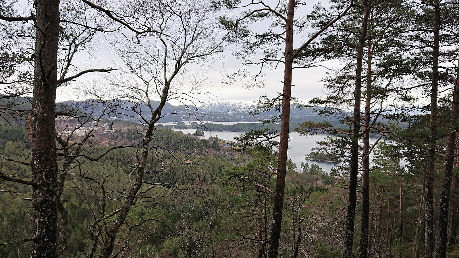
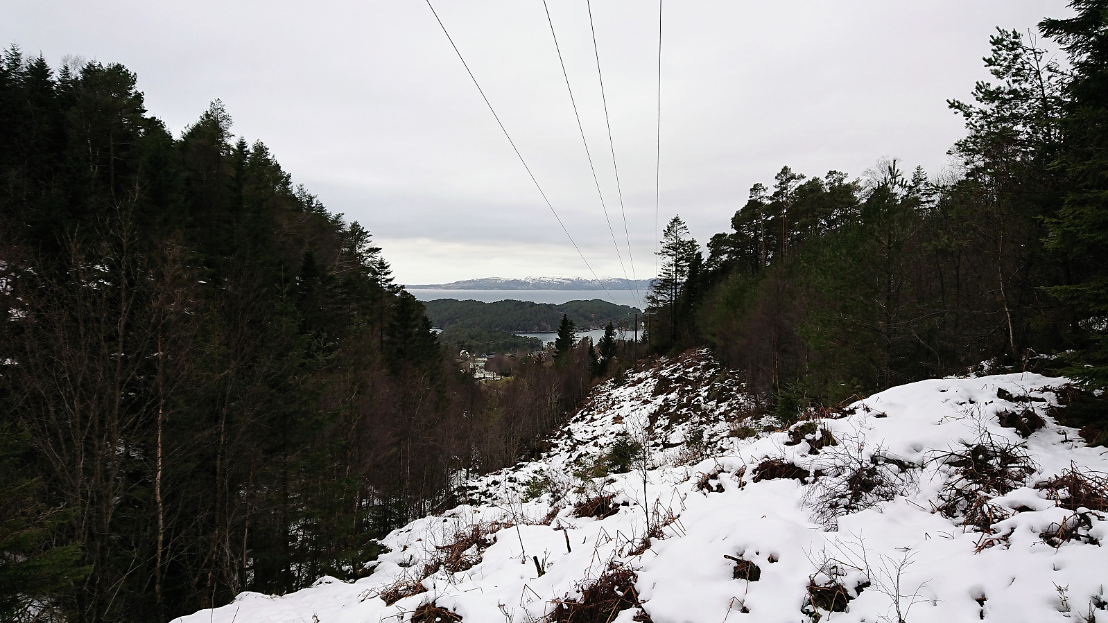
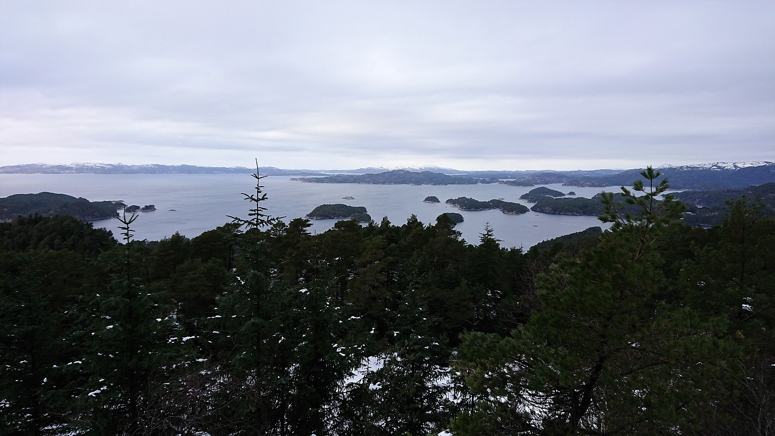
Just before reaching the summit I came across the trig marker. The highest point was slightly to the northeast of the trig marker, but more or less at the same height. Very limited views from both the trig marker and the summit itself, but it was possible to spot both Hjortåsen and Møsnuken in between the trees.
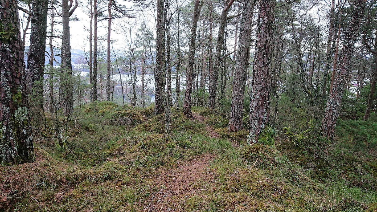
I continued east across the top and down the ridge on a clear trail that shortly returned me to were I earlier had followed the marked trail in the wrong direction. Not straightforward to see this trail when ascending, but if one aims to follow the ridge the trail should still be easy to find.
When reconnecting with the marked trail I noticed that there was also a marked trail heading north. So instead of returning west to the gravel road I started from, I followed this new trail north, soon ending up just north of the crossroads in the gravel road where I had turned left earlier. Although this trail had several wet areas, I think it is still the recommended trail compared to the one I used on the way up.
Hjortåsen
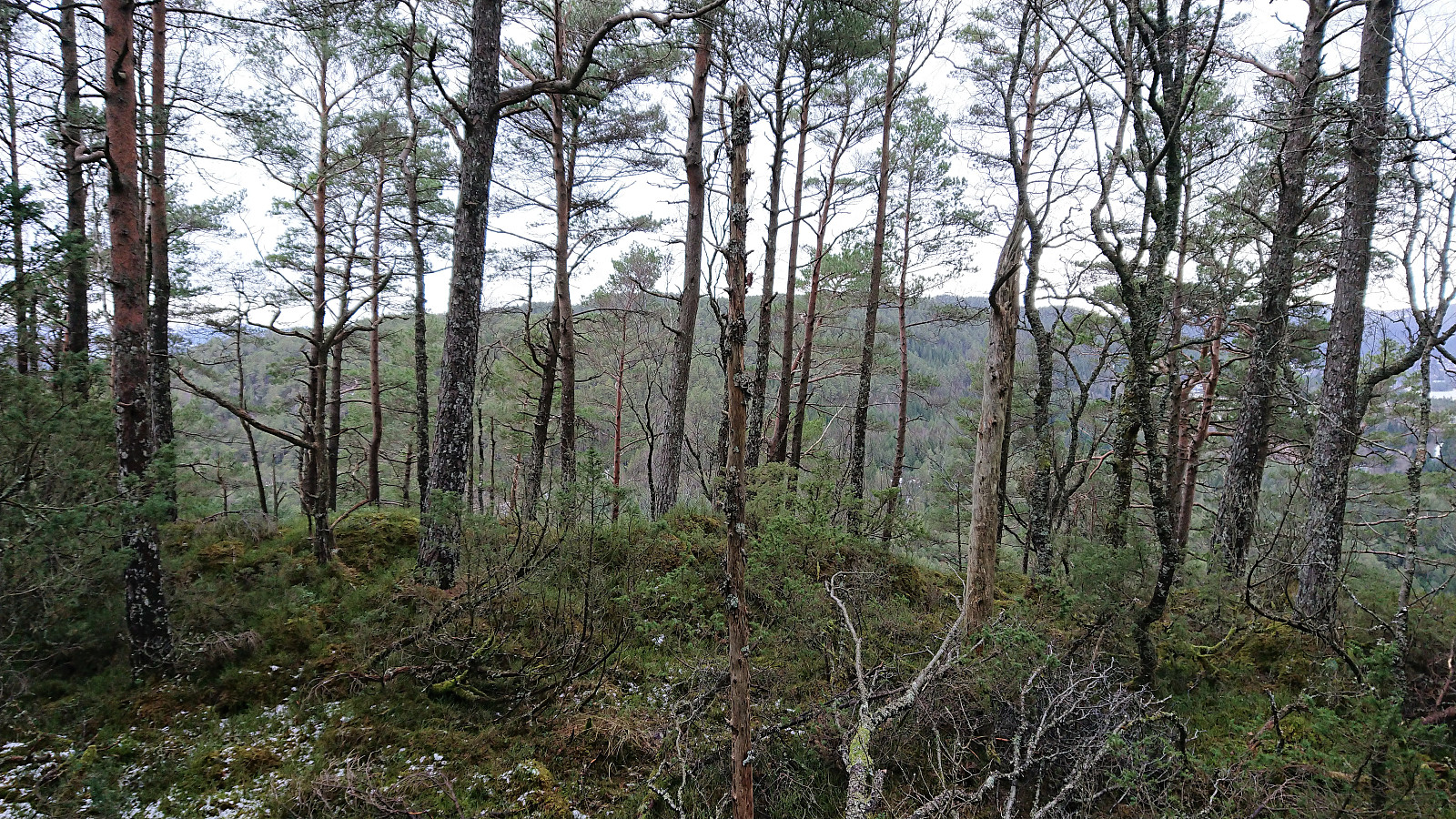
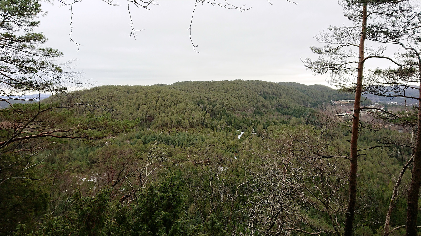
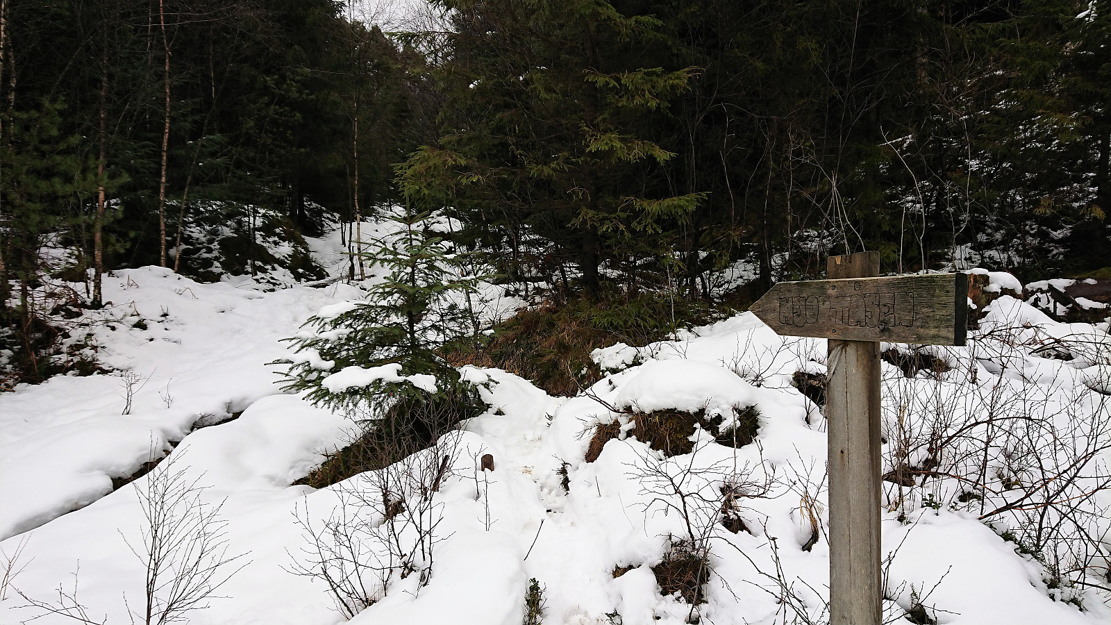
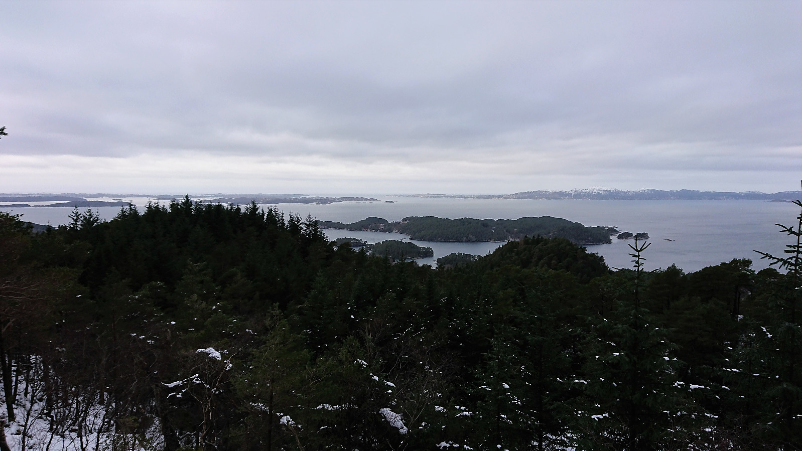
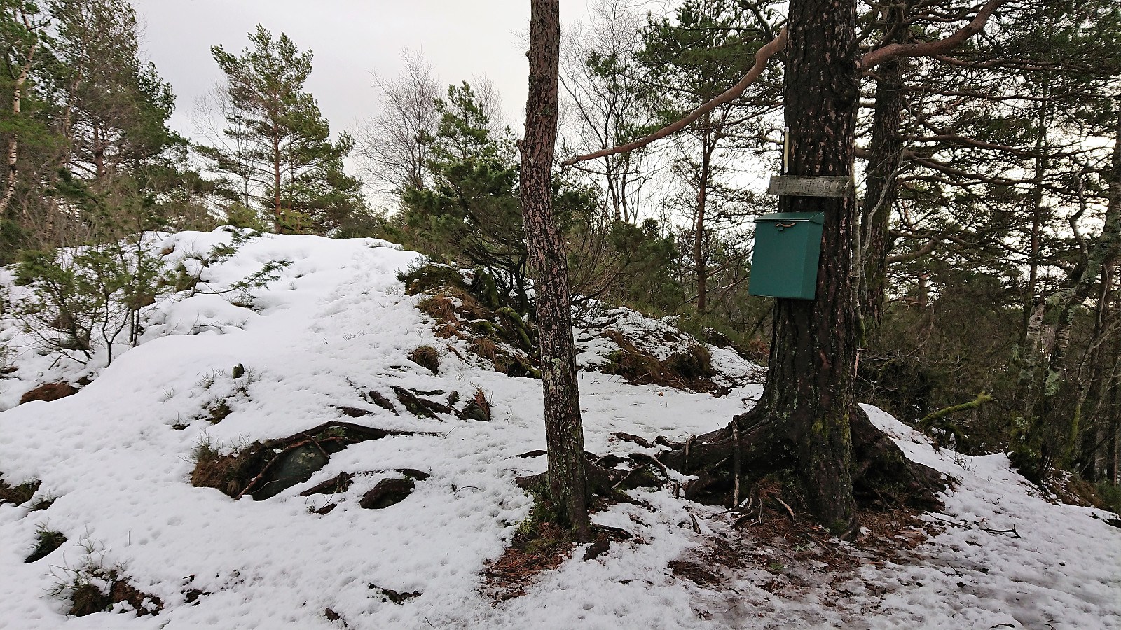
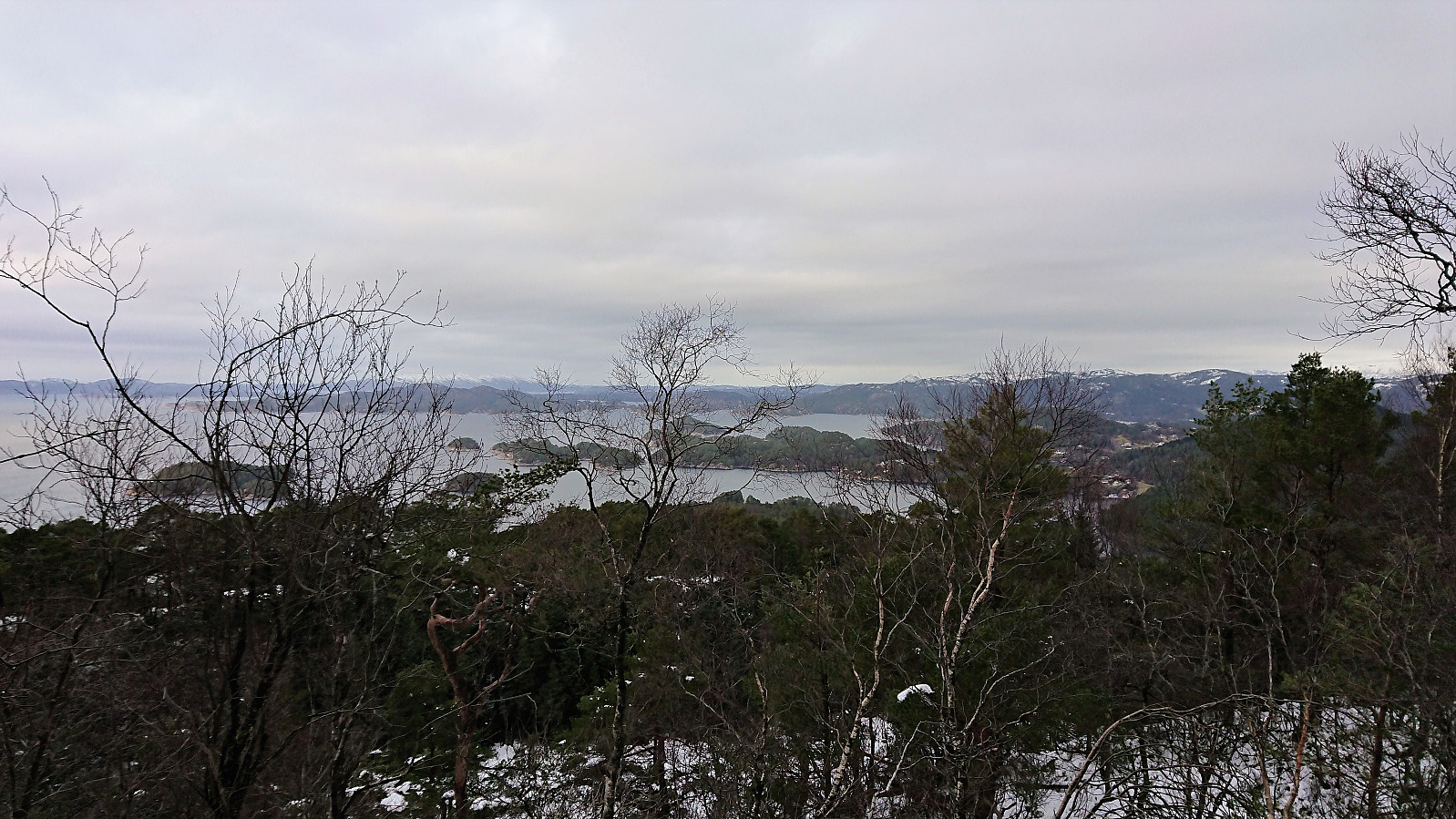
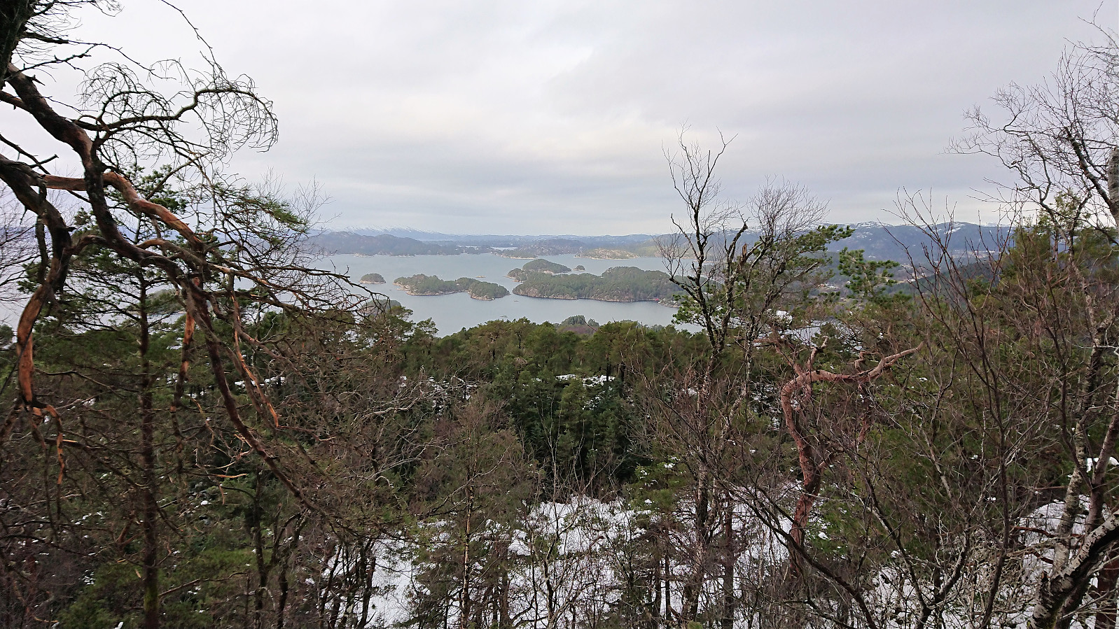
The next goal was Hjortåsen, so upon returning to the paved road where I started the hike, I followed a trail north (a shortcut compared to following the road). Shortly after this shortcut ended, I continued along an unmarked tractor road, and later trail, taking me northwest and up towards Hjortåsen. Just as this trail started heading down towards Nordstrøno, the first sign for Hjortåsen appeared, which I then followed all the way to the southern summit of Hjortåsen. This is where the visitor register for Hjortåsen is located and where the best views can be obtained (just west of the summit).
The northern summit of Hjortåsen is however slightly higher, and I therefore continued northeast along a less frequently used trail. As far as I could see the trail did not head to the northern summit itself (or it could have been hidden under the snow), but making it to the summit, and the small house with the antenna, was easy. Very limited views from this point compared to the southern summit though.
My plan was to continue north to reach the main road. Initially I did not find any trails (and none were indicated on the map, other than a tractor road towards the end), but after a while I happened across a trail that I tried to follow. It was hidden under the snow, only separated by wet areas, and thus slightly difficult to follow. But I assume this trail is much better in different conditions. Upon reaching the road I still had an hour until the next bus, so I started walking east along the road, making it all the way to Hetleflåten before taking the bus back to Bergen.
Conclusion
The hike to Husfjellet turned out better than expected, with a nice gravel road and an easy ascent to the summit (if the part of the marked trail that does not head to the summit is ignored). However, the limited view means that I will most likely not return. But worth a visit if in the neighborhood anyway for a visit of Hjortåsen. Hjortåsen was a bit of a mixed bag. While the ascent and the views from the southern summit were nice, the northern summit, and the descent back down to the main road, were not as interesting, resulting in that this will probably be my only visit to Hjortåsen as well. The last part of the hike, walking east along the road, especially the long straight stretch from Hagavik to Ulven, is rather boring and should generally be avoided. Much better suited for cycling.

| Startzeitpunkt | 17.02.2018 11:06 (UTC+01:00) |
| Endzeitpunkt | 17.02.2018 14:47 (UTC+01:00) |
| Gesamtzeit | 3h 40min |
| Zeit in Bewegung | 3h 32min |
| Pausenzeit | 0h 8min |
| Gesamtschnitt | 4,1km/h |
| Bewegungsschnitt | 4,3km/h |
| Entfernung | 15,2km |
| Höhenmeter | 597m |


Benutzerkommentare
Samme toppene på Strøno ...
Geschrieben von knutsverre 21.02.2018 11:07Ser du nylig har vært på Husfjellet du også, og gjort de samme observasjonene som oss. Vi må ha oversett trig-merket, men det virker som om du er enig i at høyest punkt på Husfjellet er på toppen av den mulige gravhaugen, markert med en stein. Fin rapport!
Re: Samme toppene på Strøno
Geschrieben von hbar 21.02.2018 14:58Hei. La merke til at dere hadde vært på Husfjellet like før meg ja. Brukte delvis GPS-sporet som utgangspunkt for starten for min tur. (Resten av rapporten kom jo senere.) :)
Trig-merket er nok lett å overse. Kom tilfeldigvis over det selv, uten å lete spesifikt etter det. (Mye det samme som på Fjærhovda en uke tidligere: https://peakbook.org/tour/248303/Stora+Stokkfjellet+and+Fjærhovda.html.)
Men ser ut som dere har vært helt i nærheten av trig-merket. Er plassert rett sørvest for toppen der hvor GPS-sporet mitt gjør et par små runder. Og ja, ser ut til at vi er enig om hvor det høyeste punktet ligger.
Interessant med informasjon om mulig gravhaug forresten! Rhododendronbusken la jeg også spesielt merke til. :)