Archiv - Nach Datum
Archiv - Nach Aktivität
-
Andere Tour (2)
- Expedition (2)
-
Andere Wintertour (4)
- Schneeschuhtour (4)
-
Fußtour (220)
- Bergtour (161)
- Jogging (1)
- Spaziergang (1)
- Wanderung (44)
-
Skitour (2)
- Langlauf (2)


Lieblingstouren

Bidein Bad na h-Iolaire
- Datum:
- 11.05.2013
- Tourcharakter:
- Bergtour
- Entfernung:
- 5,5km
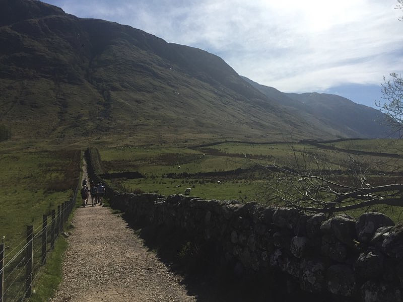
Fra Arngeirs log.: Assuming your starting point is the big round about on road A82 just west of the rail-way station in Fort William. Drive 800 metres (0.5 mi) south on A82, to a round about, and turn left onto "Lundavra Road". Drive this road 4.9 km (3.0 mi) and park on the right hand side of the road just after a house, and just after the road starts to descend. Start your hike by walking 130 metres back along the road you drove. Turn right through a gate and walk uphill on the left hand side of a fence. At 235 metres cross the fence perpendicular to you direction and find a path running along the ridge. This path slowly fades away above 450 metres, but the route north-east to the summit is quite obvious. The summit is marked by a small pile of stones. Descend by reversing your ascent >>>

