Archiv - Nach Datum
Archiv - Nach Aktivität
Peakbookfreunde
Gesammelte Listen

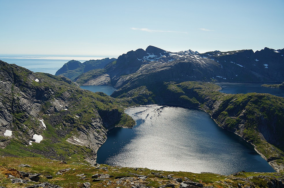

Støvla
- Datum:
- 18.07.2014
- Tourlänge:
- 10:19h
- Entfernung:
- 14,4km
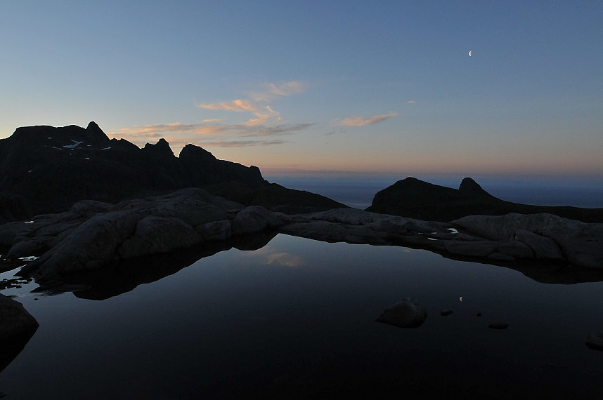 We couldn't ascend to Stovla from Vestertinden (too high). Then we decided to go around and pass to Stovla from north. The trip started from our "base camp". When we were going back from summit, we decided to find out new way to base camp. As it turns out it's very dangerous (or impossible). We had to return (you can see our attempt on gps-track).
The way to Stovla over Moldtinden:
The most difficult place:
View from summit:
On the back way:
We couldn't ascend to Stovla from Vestertinden (too high). Then we decided to go around and pass to Stovla from north. The trip started from our "base camp". When we were going back from summit, we decided to find out new way to base camp. As it turns out it's very dangerous (or impossible). We had to return (you can see our attempt on gps-track).
The way to Stovla over Moldtinden:
The most difficult place:
View from summit:
On the back way:
Mengelsdalstinden
- Datum:
- 15.07.2014
- Tourlänge:
- 8:27h
- Entfernung:
- 7,8km
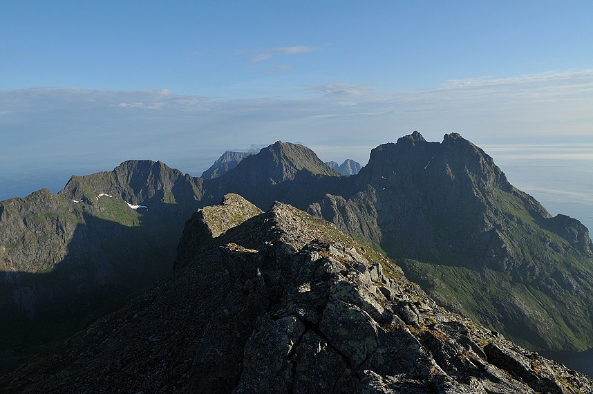 Nothing difficult. Before ascend we went down to a view point (where has good view on the lake Trolldalsvatnet). It isn't necessary.
Between Smallidalstinden и Mengelsdalstinden:
The view point on the lake:
View from summit:
Nothing difficult. Before ascend we went down to a view point (where has good view on the lake Trolldalsvatnet). It isn't necessary.
Between Smallidalstinden и Mengelsdalstinden:
The view point on the lake:
View from summit:


