
Litlåsfjellet from Leirvåg fergekai (11.04.2026)

Skrevet av hbar (Harald Barsnes)

| Startsted | Leirvågen fergekai (2moh) |
|---|---|
| Sluttsted | Mongstadvegen (27moh) |
| Turtype | Fottur |
| Turlengde | 1t 00min |
| Distanse | 5,1km |
| Høydemeter | 124m |
| GPS |
|
| Bestigninger | Litlåsfjellet (109moh) | 11.04.2026 |
|---|
Litlåsfjellet from Leirvåg fergekai
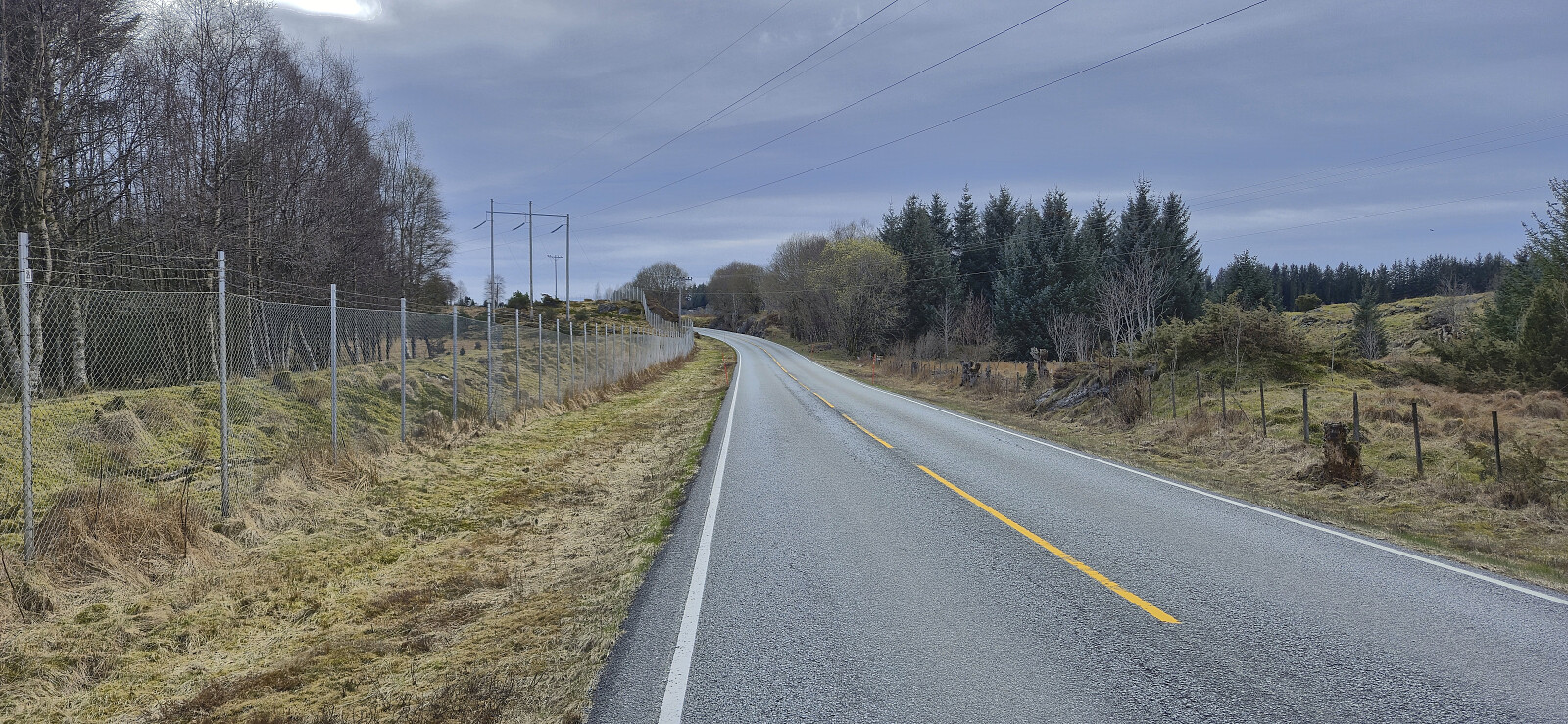
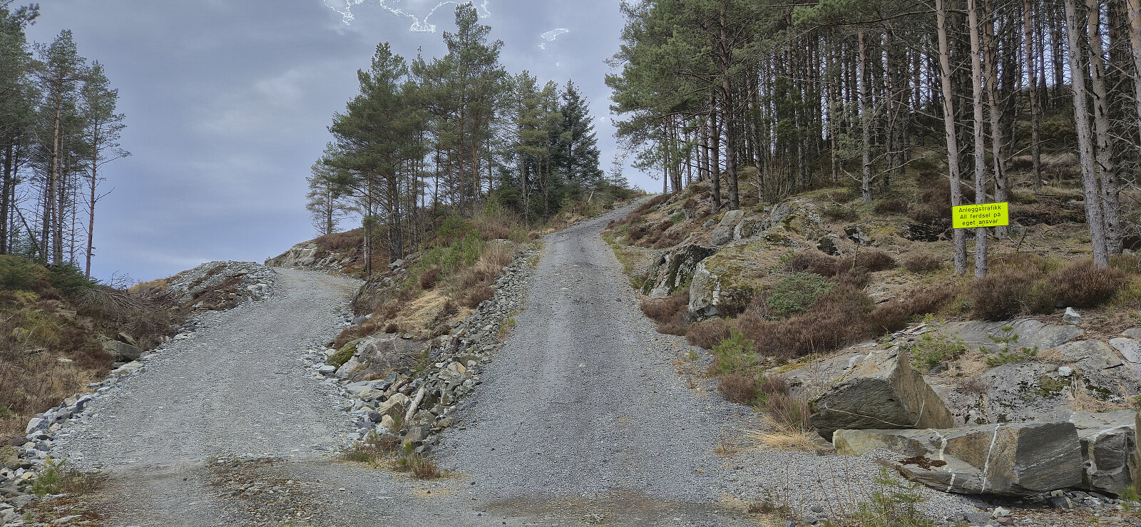
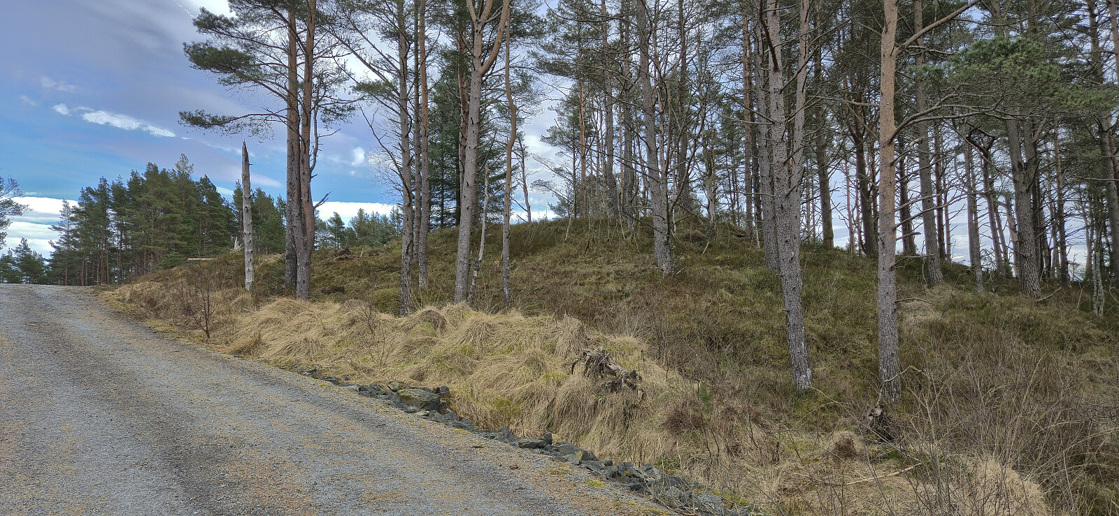
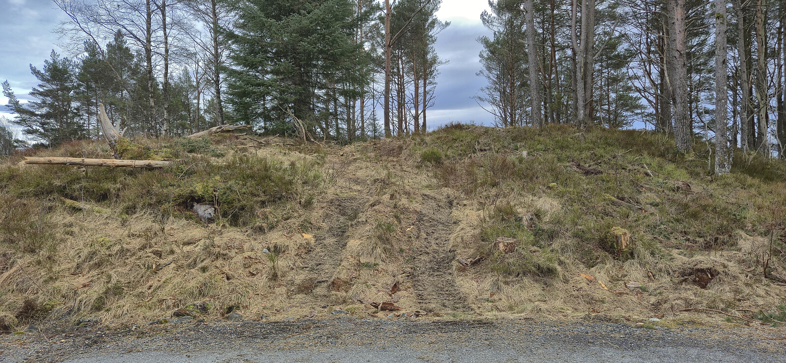
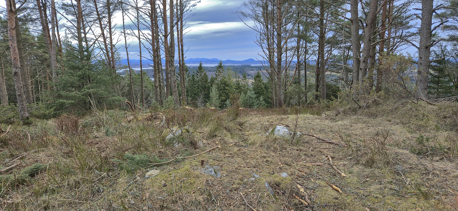
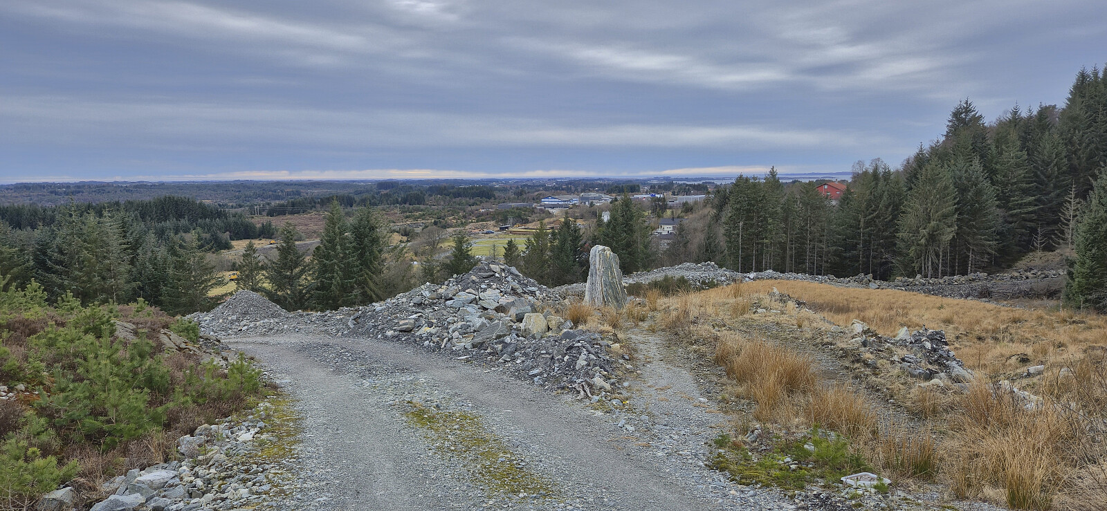
Short bonus hike after my trip to Brattelifjellet, Storeholten and Mosedotten in Gulen and the ferry ride from Sløvågen given that I had around an hour to kill at Leirvågen before the bus back to Bergen. The goal was to visit the highest point in Austrheim, namely Litlåsfjellet. This was easily achieved as there was a gravel road pretty much all the way to the summit. There were even tire marks across the highest point as a result of recent logging activity.
| Starttidspunkt | 11.04.2026 16:04 (UTC+01:00 ST) |
| Sluttidspunkt | 11.04.2026 17:04 (UTC+01:00 ST) |
| Totaltid | 1t 00min |
| Bevegelsestid | 0t 58min |
| Pausetid | 0t 1min |
| Snittfart totalt | 5,1km/t |
| Snittfart bevegelsestid | 5,2km/t |
| Distanse | 5,1km |
| Høydemeter | 124m |


Kommentarer