
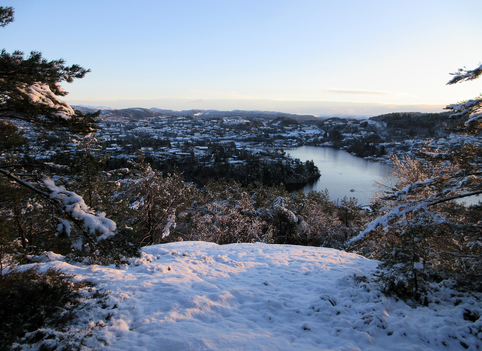
Knappen from the south (01.01.2026)

Geschrieben von HHauser (Helwig Hauser)

| Startpunkt | Varden (45m) |
|---|---|
| Endpunkt | Varden (45m) |
| Tourcharakter | Bergtour |
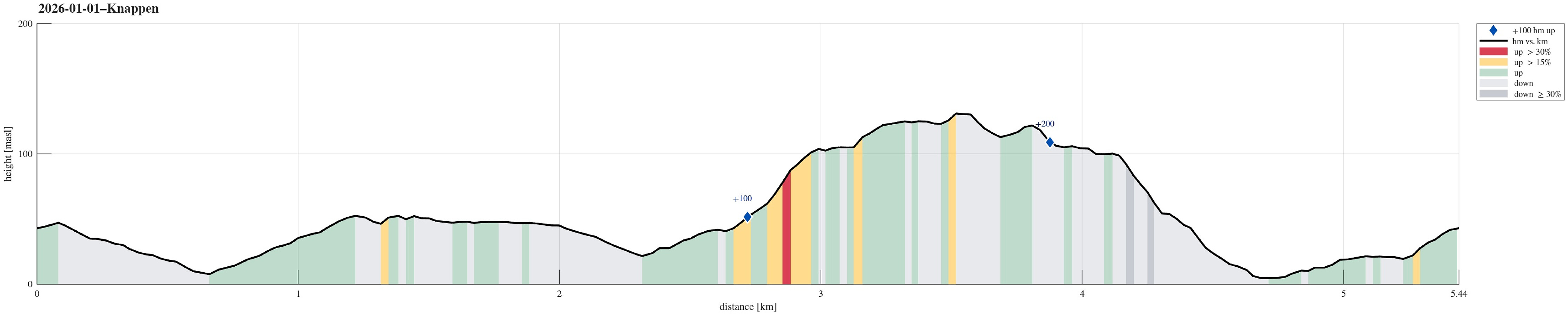
| Tourlänge | 1h 00min |
| Entfernung | 5,4km |
| Höhenmeter | 255m |
| GPS |
|
| Besteigungen | Eldtona (128m) | 01.01.2026 |
|---|---|---|
| Knappen (135m) | 01.01.2026 | |
| Besuche anderer PBE | Knappen søyle (128m) | 01.01.2026 |
| St. Hanshaugen (104m) | 01.01.2026 |
Note that this track has been created from memory, i.e., it was not recorded automatically.
Trip Summary
With a new year, we immediately got a new chance to visit Knappen! :-) This time, we first headed to Knappatjørna, before then approaching Knappen from the south. For a small change, we first stepped up to Hesthaugen, before eventually visiting Knappen and Eldtona.
Useful Resources
See also the related FB-page Hiking around Bergen, Norway.
On web page prominent-mountains.no, there's a useful page about Knappen.
Web page UT.no from the Norwegian Trekking Association recommends another hike to Knappen.


Benutzerkommentare