
Løvstakken from/to Bergen (25.12.2025)

Written by HHauser (Helwig Hauser)

| Start point | Furubakken (20m) |
|---|---|
| Endpoint | Furubakken (20m) |
| Characteristic | Hike |
| Duration | 1h 30min |
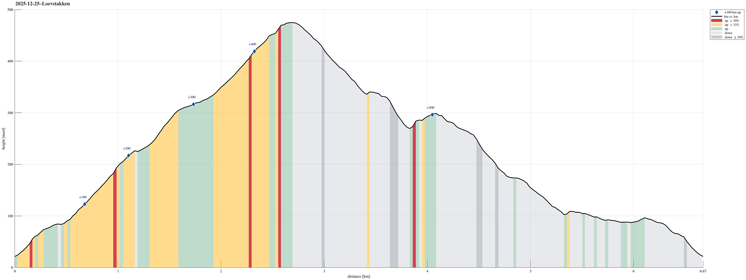
| Distance | 6.7km |
| Vertical meters | 530m |
| GPS |
|
| Ascents | Løvstakken (478m) | 25.12.2025 |
|---|---|---|
| Ravnefjellet (300m) | 25.12.2025 | |
| Visits of other PBEs | Fjellheim (tuft), Løvstakken (286m) | 25.12.2025 |
| Jesus Lever-steinen (133m) | 25.12.2025 | |
| Klauvsteinen (250m) | 25.12.2025 | |
| Løvstakken gapahuk (225m) | 25.12.2025 | |
| Løvstien Nord (80m) | 25.12.2025 | |
| Blekksprut (180m) | 25.12.2025 |
Note that this track has been created from memory, i.e., it was not recorded automatically.
Trip Summary
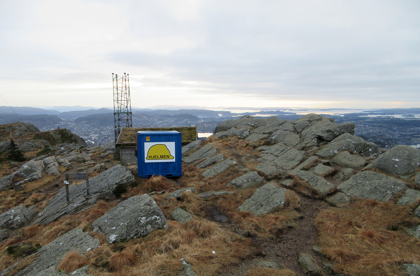
Even though it was a bit late, already, we still wished to make a quick round somewhere near. Doing Løvstakken from the Bergen-side seemed just right (and so it was). We used the gravel road that starts from Løvstien just above Solheimslien to get up. On Løvstakken, we met an unexpected sight: most of one of the two masts was missing from its top -- what's happening? :-) To get back down, we chose to cross over Ravnefjellet and then use Løvstien to get back around to the Bergen-side. Our timing was just right to return before it got all dark.
Photos
Selected photos are available as Google photo album.
Useful Resources
See also the related FB-page Hiking around Bergen, Norway.
Web page WestCoastPeaks.com provides useful information about Løvstakken.


User comments