
Byrknesveten (30.11.2025)

Skrevet av hbar (Harald Barsnes)

| Startsted | Byrknesveten vest p-lomme (14moh) |
|---|---|
| Sluttsted | Byrknesveten vest p-lomme (14moh) |
| Turtype | Fjelltur |
| Turlengde | 0t 48min |
| Distanse | 2,9km |
| Høydemeter | 181m |
| GPS |
|
| Bestigninger | Byrknesveten (194moh) | 30.11.2025 10:26 |
|---|---|---|
| Andre besøkte PBE'er | Byrknesveten vest p-lomme (14moh) | 30.11.2025 10:04 |
Byrknesveten
When our original plan to go skiing at Vikafjellet had to be cancelled due to bad weather, and the same happened to our backup plan to go hiking to peaks in Omvikdalen/Myklebustdalen south of Rosendal, Endre and I settled on plan C which included driving north to Gulen in an attempt to escape the heavy rain/snow showers further south and east.
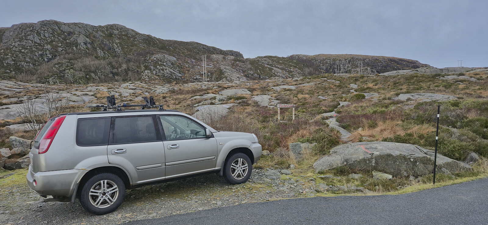
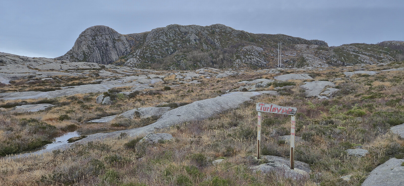
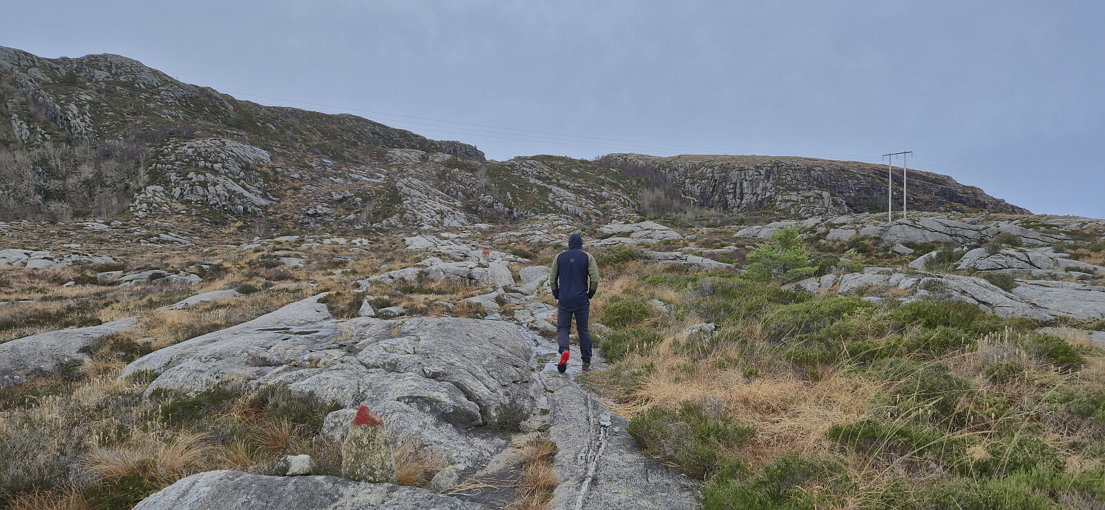
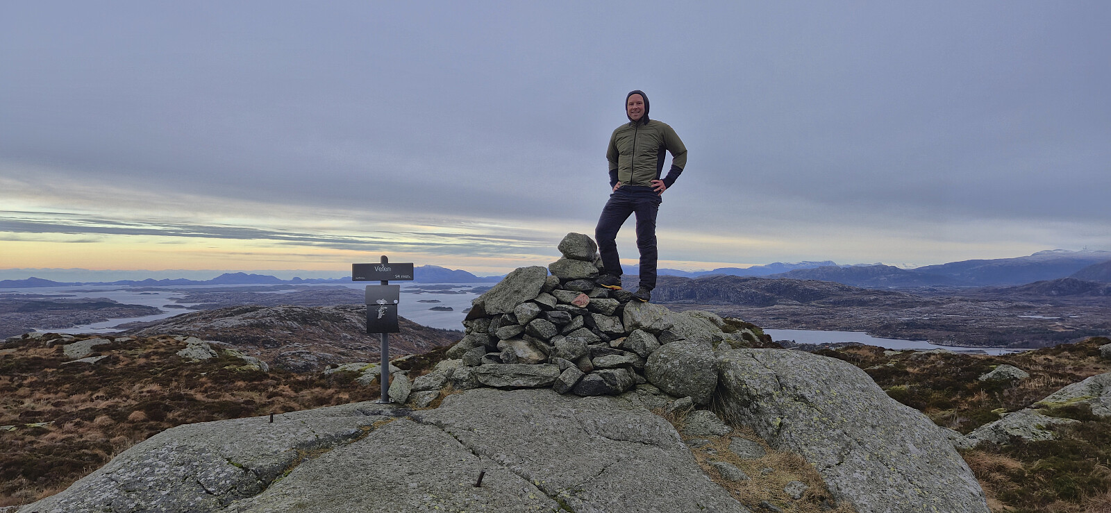
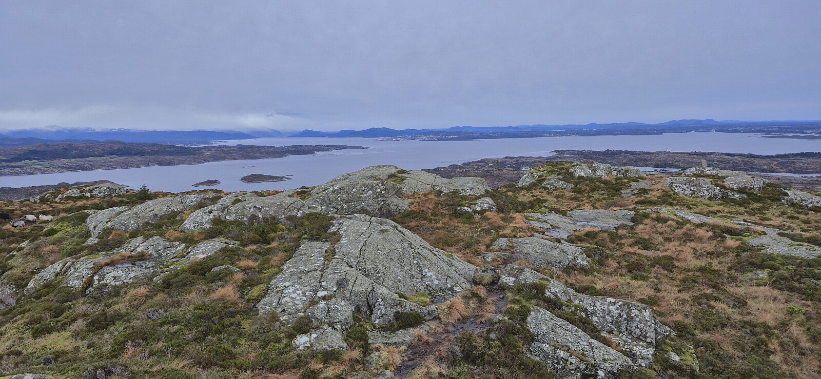
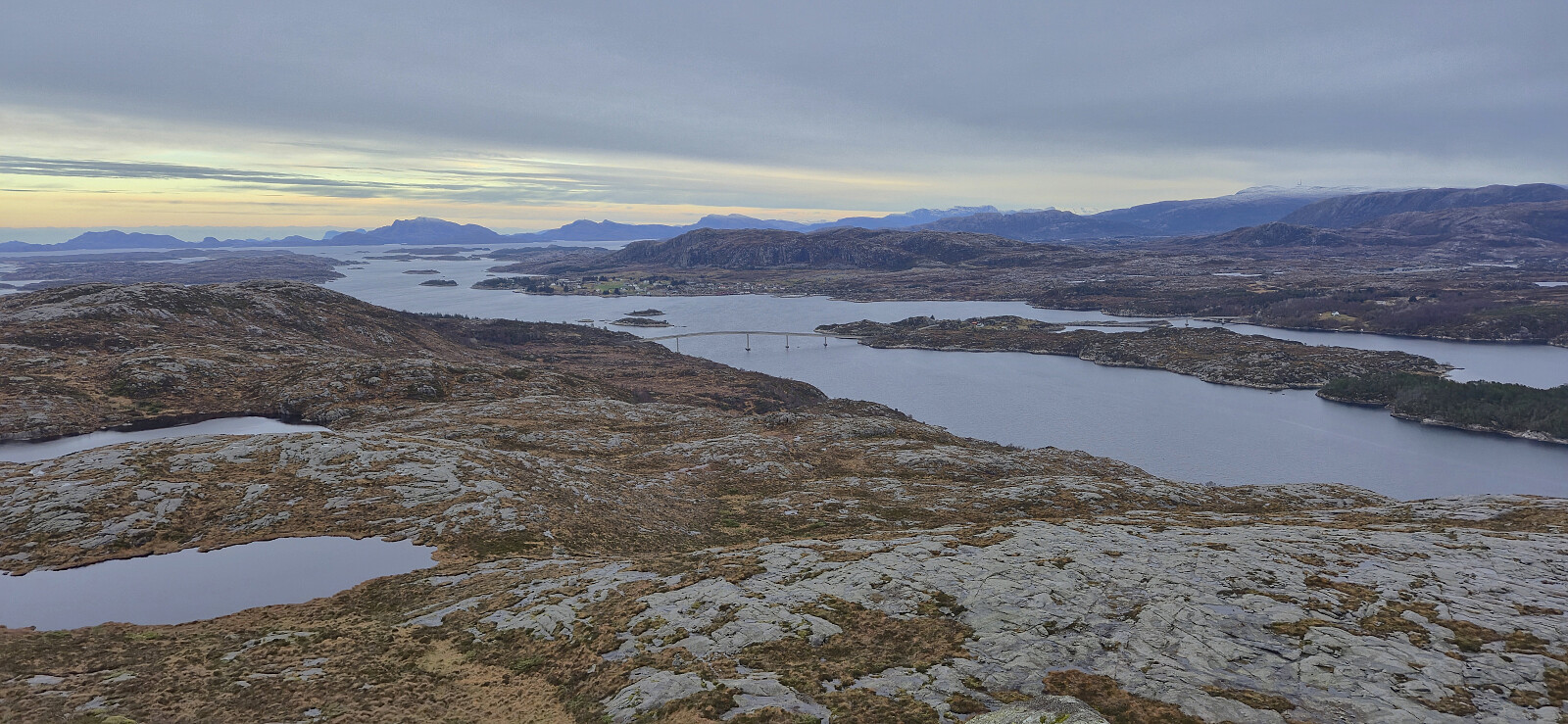
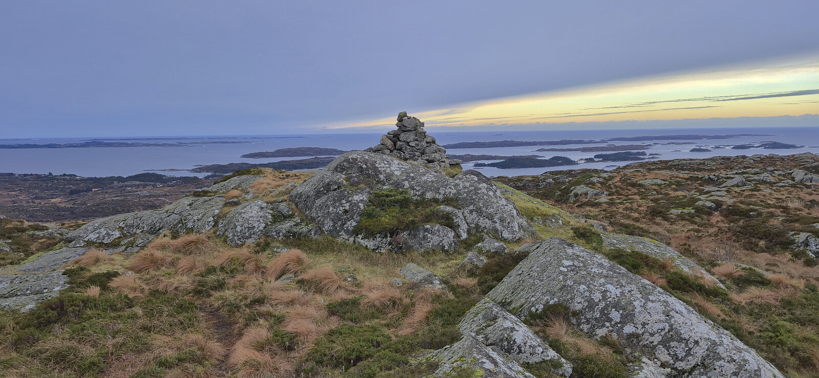
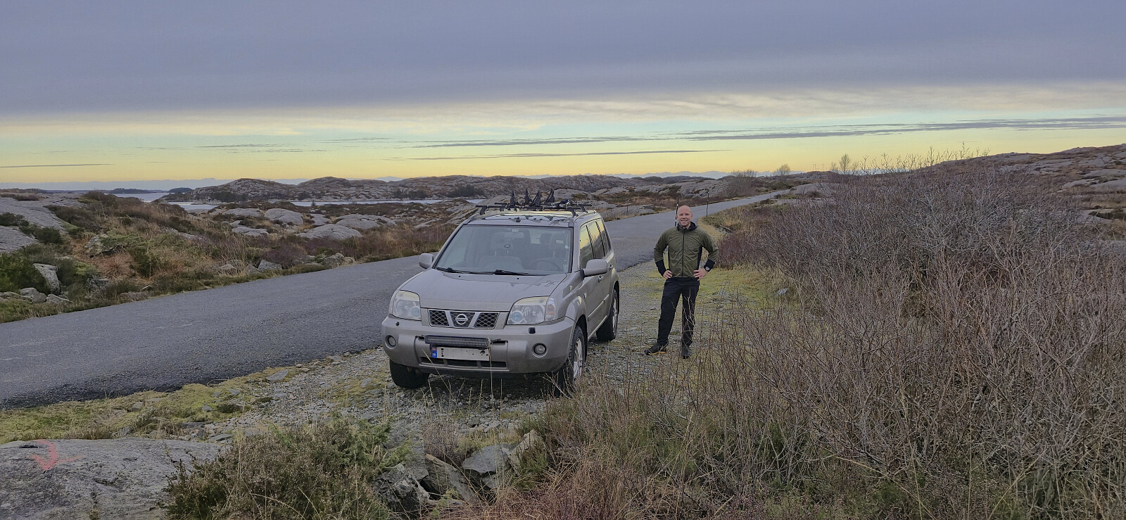
After taking the ferry across Fensfjorden to Sløvågen, we continued west towards our first goal of the day: Byrknesveten. Here we found parking west of the summit, with room for at least two cars, and from there simply followed the marked trail all the way to the summit cairn. Excellent views from the summit, and a nice short hike along a nice trail that can be recommended.
We returned the same way and then drove the short distance north to Mjømna in order to ascend Piltevarden.

| Starttidspunkt | 30.11.2025 10:04 (UTC+01:00) |
| Sluttidspunkt | 30.11.2025 10:52 (UTC+01:00) |
| Totaltid | 0t 48min |
| Bevegelsestid | 0t 42min |
| Pausetid | 0t 5min |
| Snittfart totalt | 3,6km/t |
| Snittfart bevegelsestid | 4,1km/t |
| Distanse | 2,9km |
| Høydemeter | 181m |


Kommentarer