
Lyderhorn from Kjøkkelvikveien (05.10.2025)

Written by HHauser (Helwig Hauser)

| Start point | Kjøkkelvikveien (65m) |
|---|---|
| Endpoint | Kjøkkelvikveien (65m) |
| Characteristic | Hike |
| Duration | 2h 00min |
| Distance | 4.7km |
| Vertical meters | 388m |
| GPS |
|
| Ascents | Lyderhorn (396m) | 05.10.2025 |
|---|---|---|
| Visits of other PBEs | Lyderhornhytten (lokalitet) (396m) | 05.10.2025 |

Trip Summary
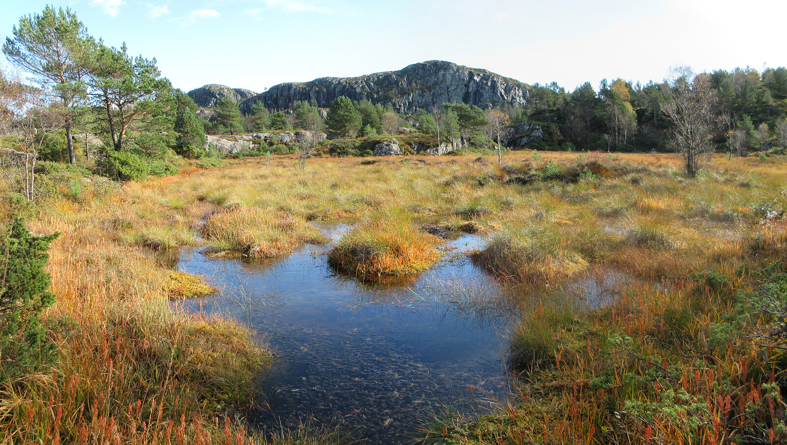
We parked close to the Kjøkkelvikveien-Nedbergeveien junction and first walked a bit along Kjøkkelvikveien to find a good place for starting our ascent towards Stemmebakkane and Høgenuten. Opposite to Fæsterveien, we then found a narrow access road, leading up to the house with number 105. After the second hairpin curve up the rather steep mountain side, we then followed a simple trail into the forest (and further upwards). Even though there's no trail to be seen on Norgeskart for this part, one still can find simple hiking trails "all the way up" to Stemmebakkane and Høgenuten. From up there, one also then can enjoy some nice views. A bit south of Høgenuten, one then joins the main trail to Lyderhorn. After making it "all the way up" to Lyderhorn (not so much up, actually), we then opted for the second-most used trail down to Lyderhornslien (first a bit back northwards, before then rather directly down the steep western slope of Lyderhorn. Once down to Lyderhornslien, it was then just back to Nedbergelien via Krabbedalen. All in all, a nice alternative way to make a round over Lyderhorn! :-)
Photos
Selected photos are available as Google photo album.
Useful Resources
See also the related FB-page Hiking around Bergen, Norway.
Petter Bjørstad has a useful page about Lyderhorn and also web page WestCoastPeaks.com provides useful information about Lyderhorn and Ørnafjellet.


User comments