
Reinskarnuten from Ørneberget (12.10.2025)

Written by hbar (Harald Barsnes)

| Start point | Ørneberget stasjon (755m) |
|---|---|
| Endpoint | Upsete stasjon (851m) |
| Characteristic | Hillwalk |
| Duration | 9h 09min |
| Distance | 26.3km |
| Vertical meters | 1,278m |
| GPS |
|
| Ascents | Reinskarnuten (1,416m) | 12.10.2025 13:15 |
|---|---|---|
| Visits of other PBEs | Ørneberget haldeplass (755m) | 12.10.2025 09:07 |
| Mjølfjell Ungdomsherberge (670m) | 12.10.2025 09:19 | |
| Slondal (763m) | 12.10.2025 09:54 | |
| Brauåni (761m) | 12.10.2025 10:16 | |
| Vieren haldeplass (802m) | 12.10.2025 17:41 | |
| Upsete stasjon (851m) | 12.10.2025 18:17 |
Reinskarnuten from Ørneberget
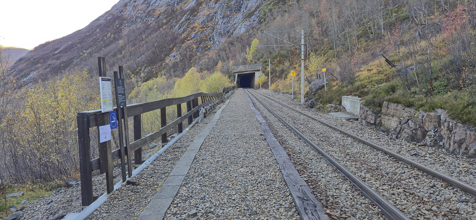
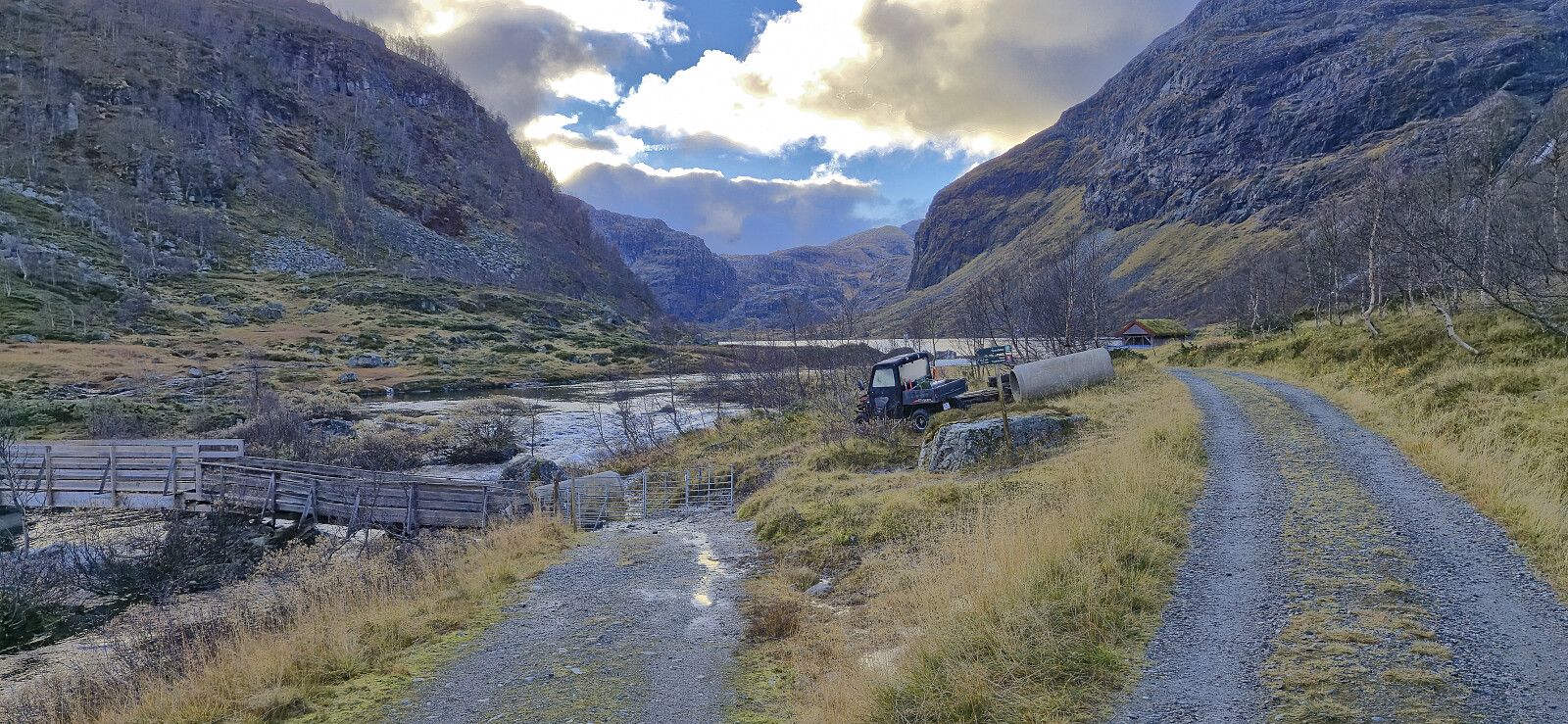
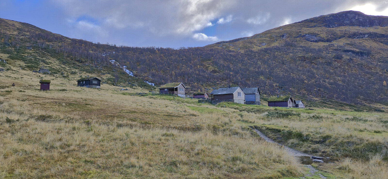
I caught the first local train from Bergen to Ørneberget and was ready to start hiking shortly after nine. The trail from the train station down to Mjølfjell Ungdomsherberge had probably seen better days but did not present any challenges. I also made sure to have a quick look at Katteli, a cabin I had visited over three decades ago when being a pupil at Bergen Katedralskole.
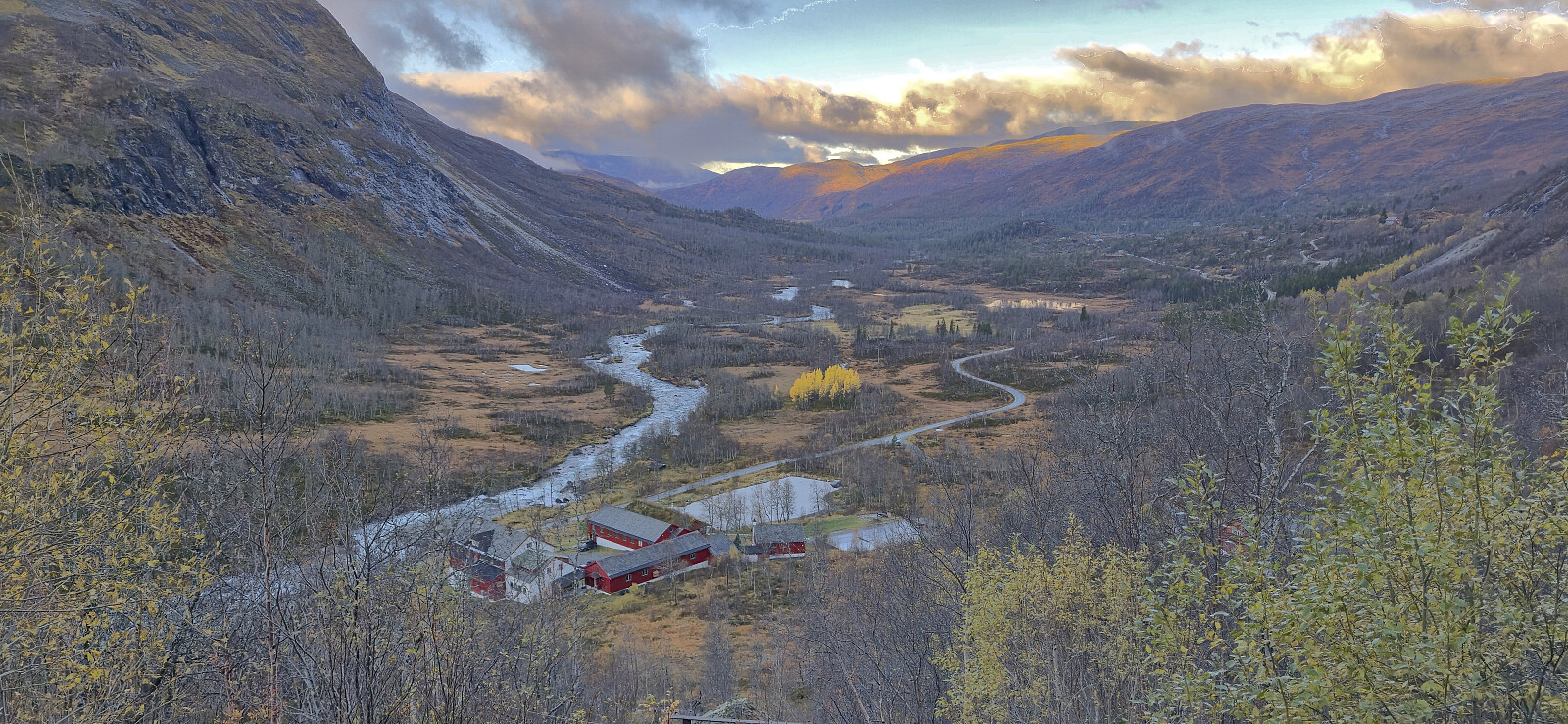
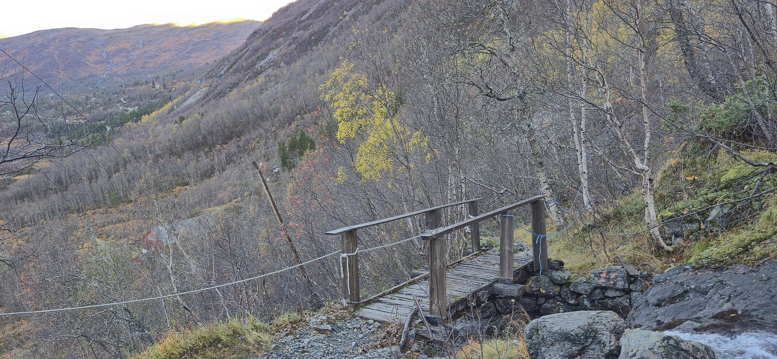
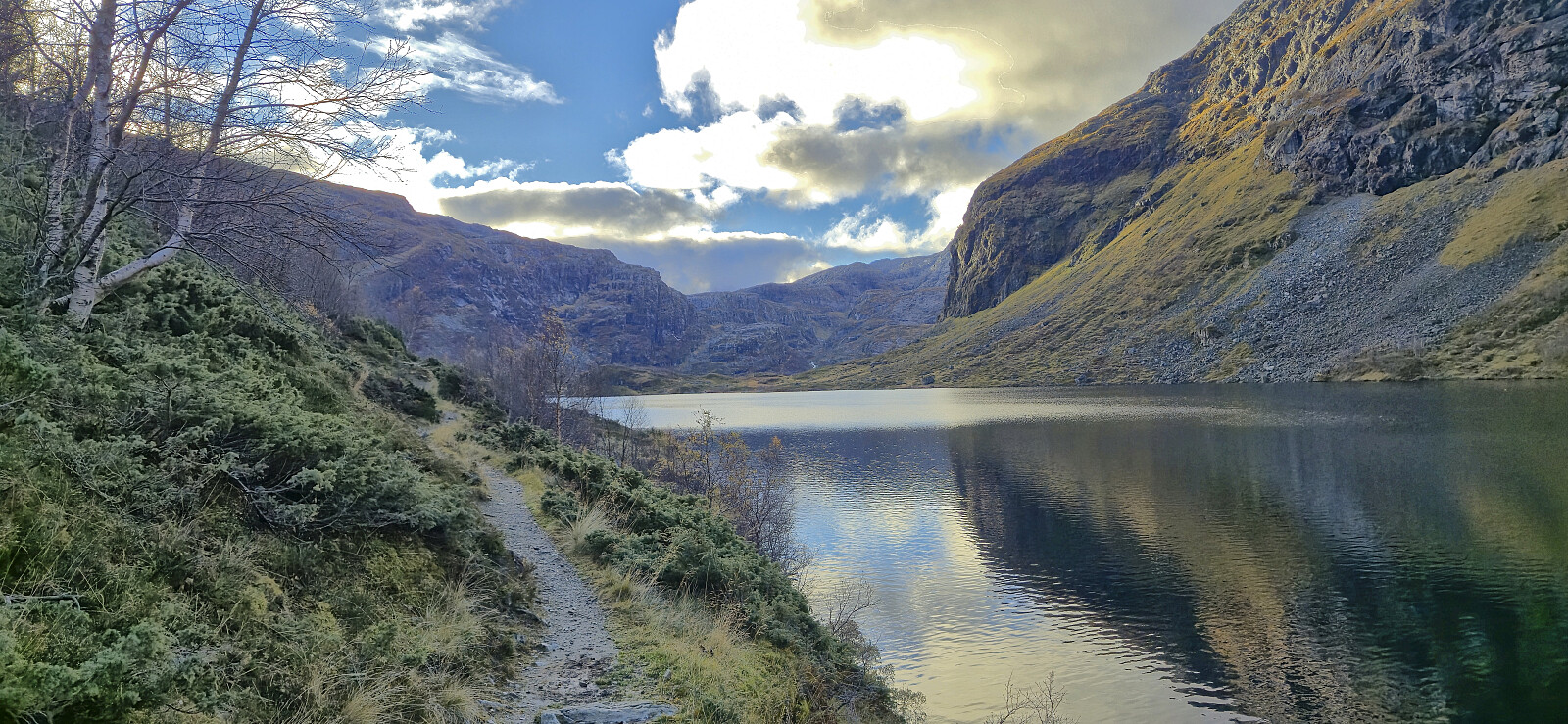
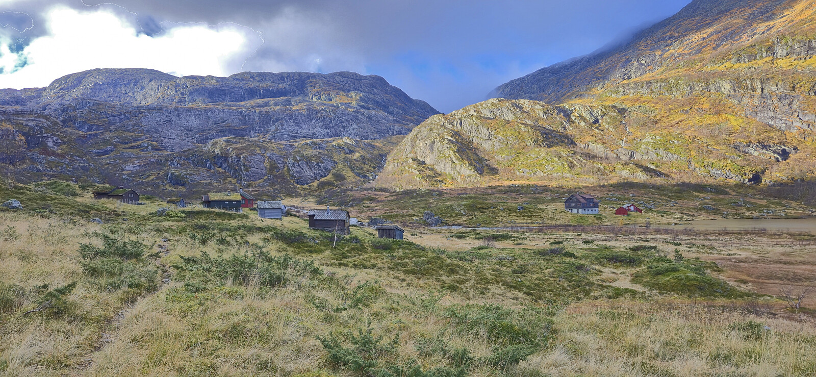
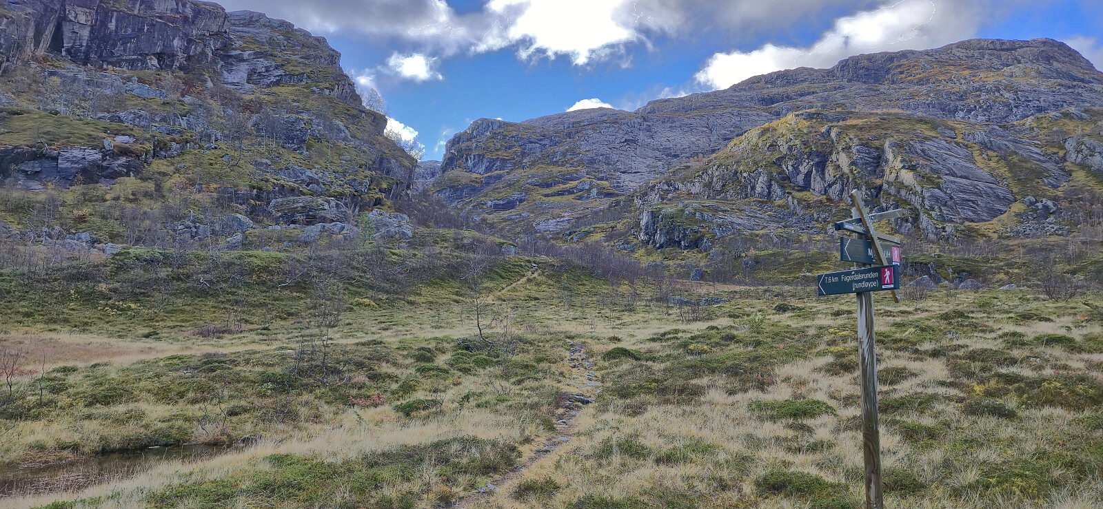
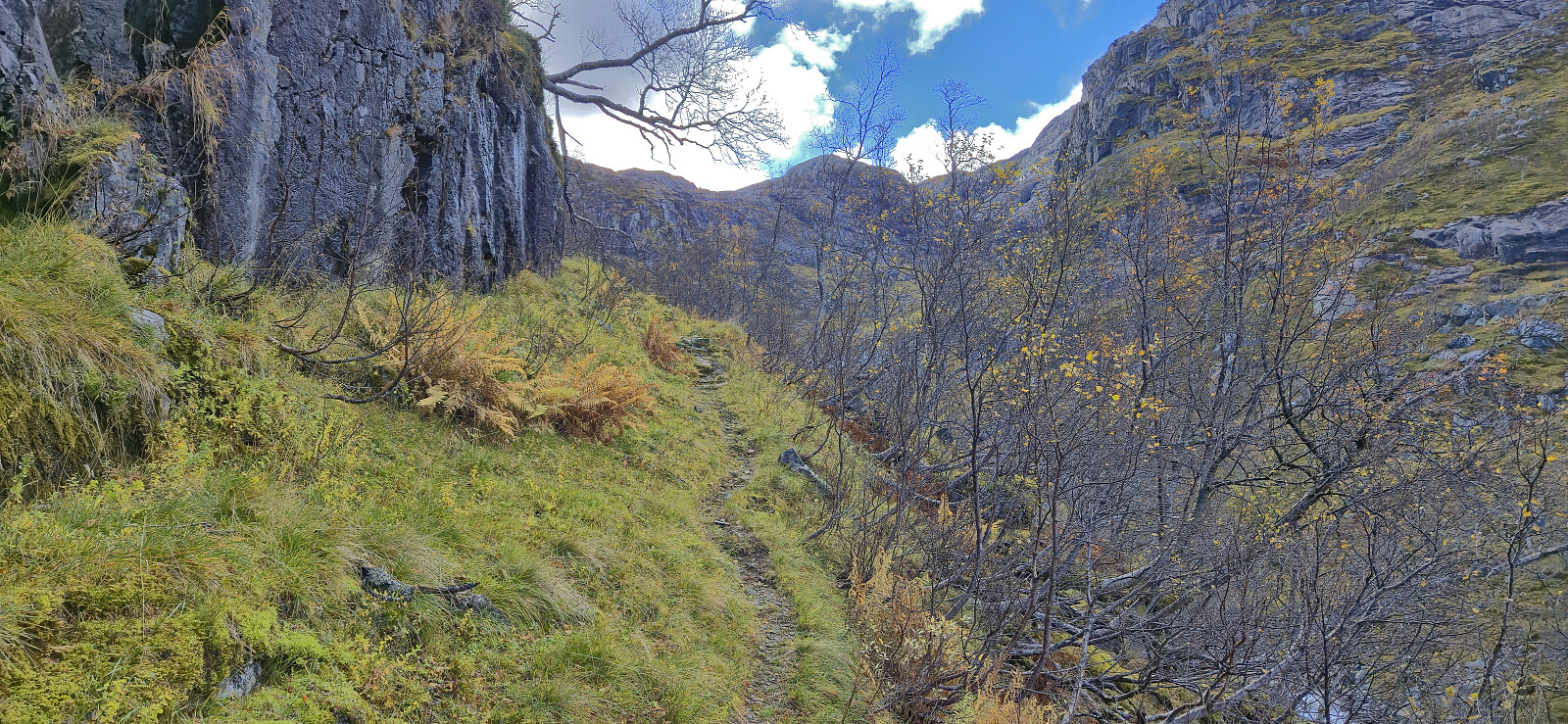
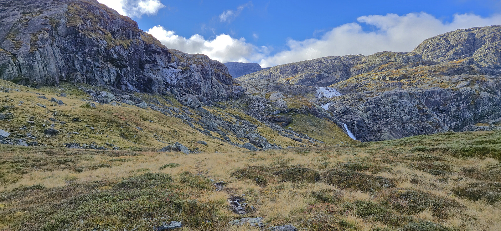
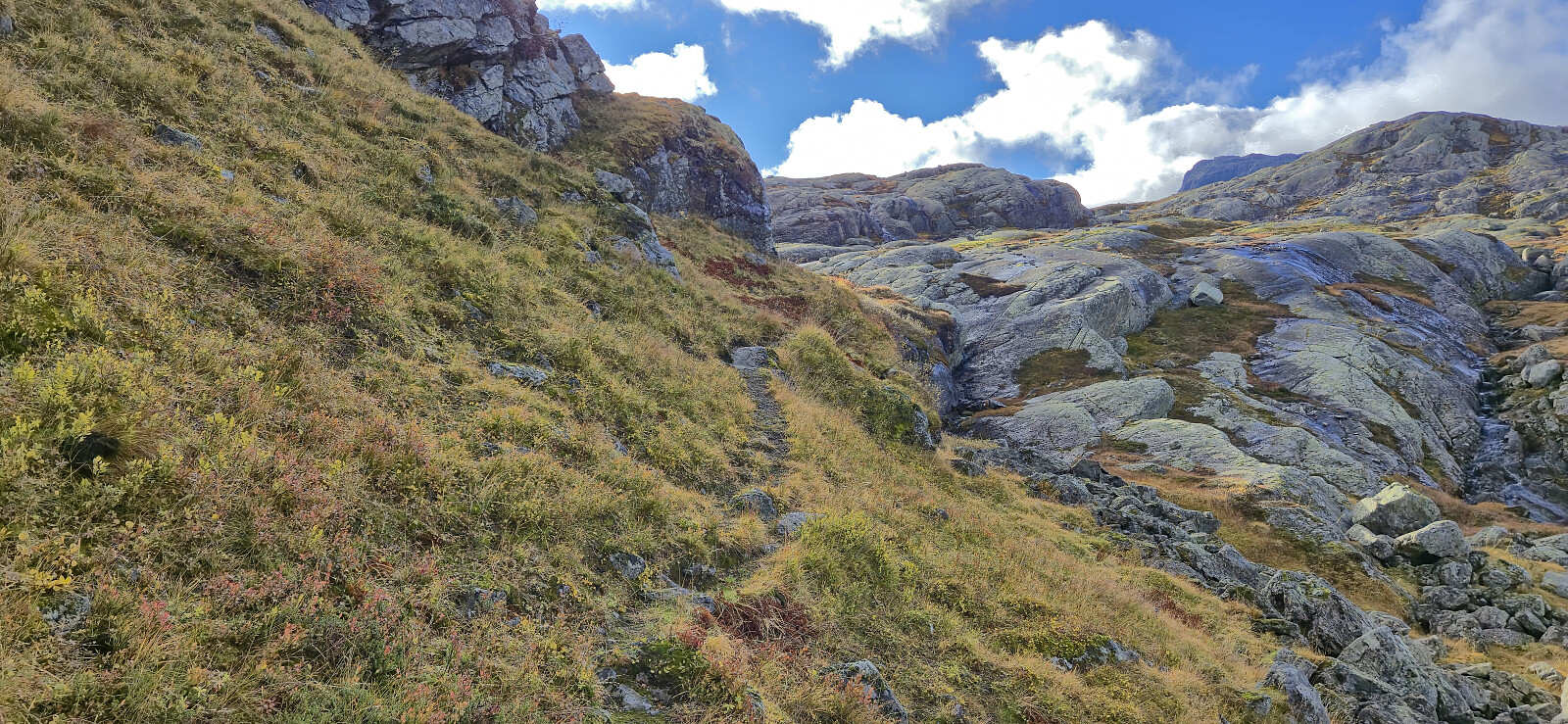
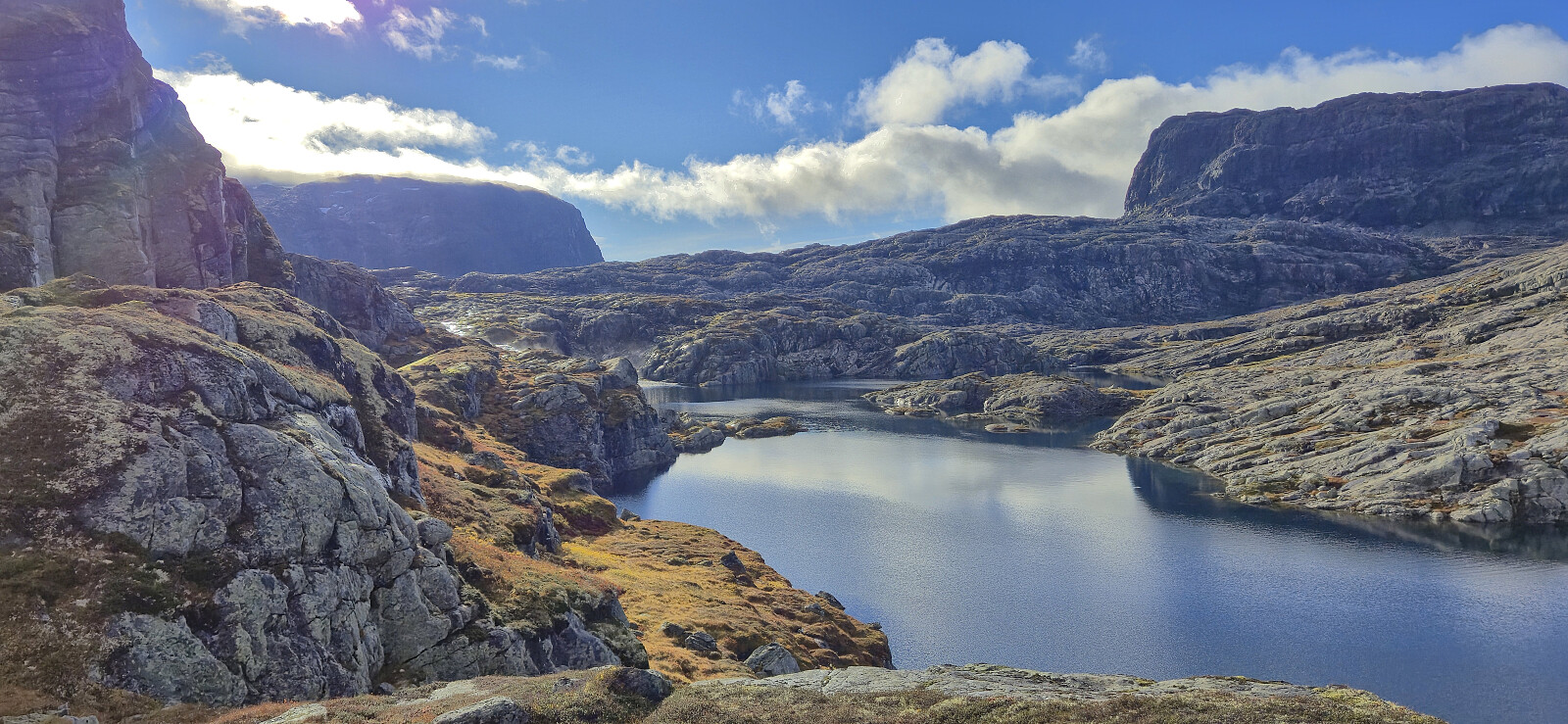
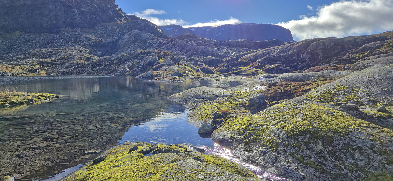
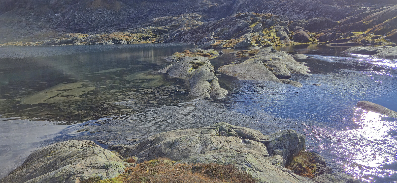
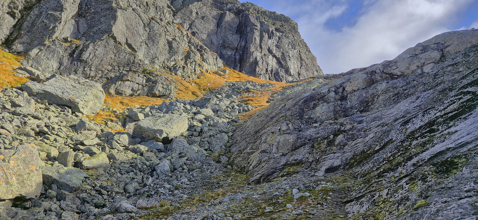
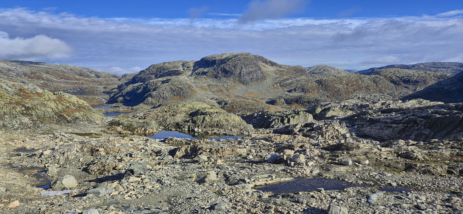
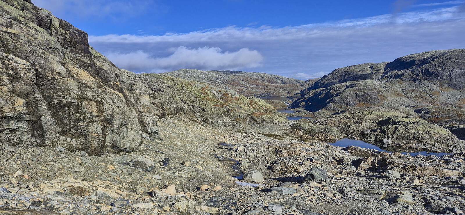
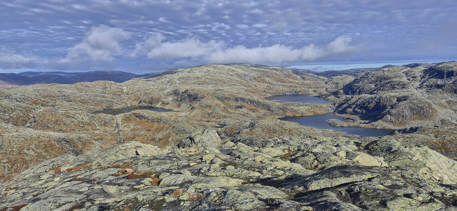
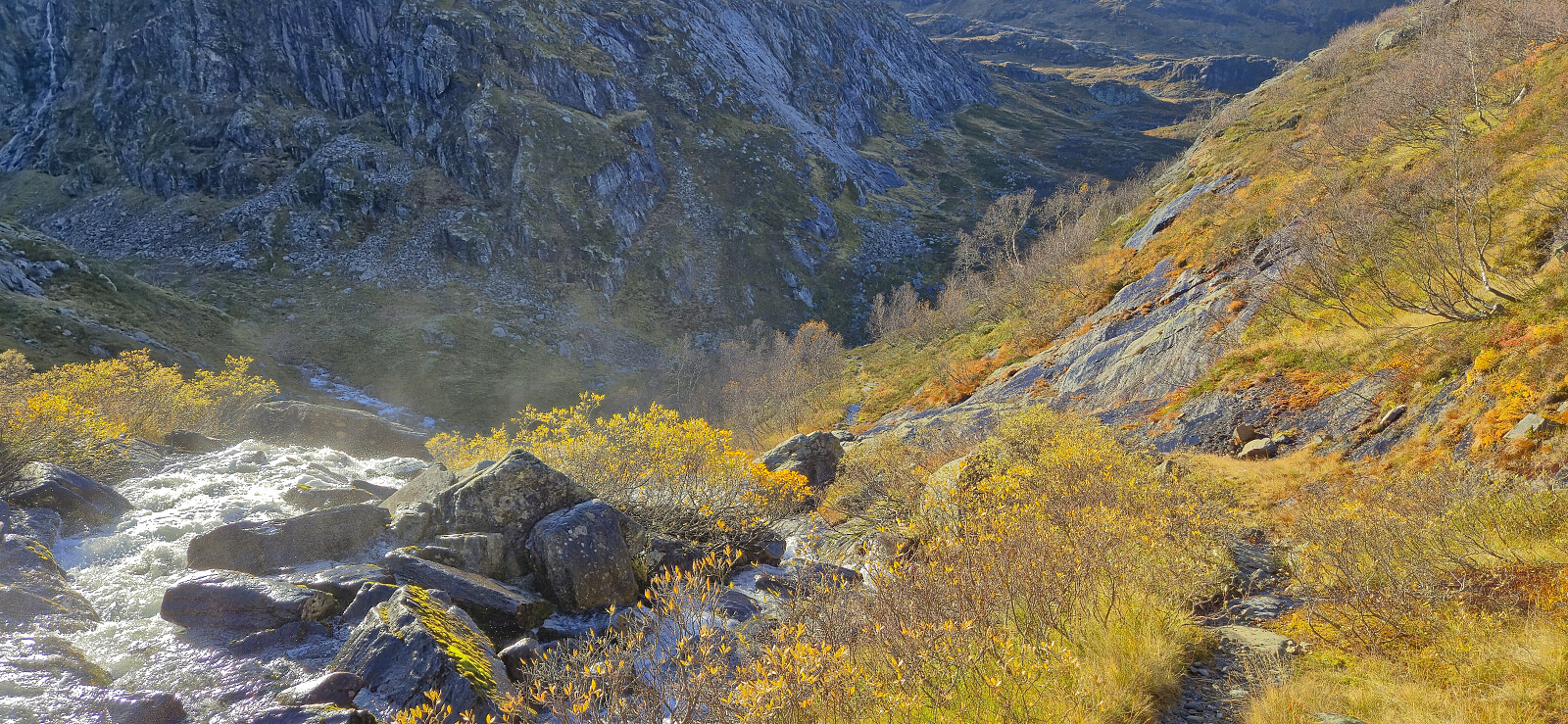
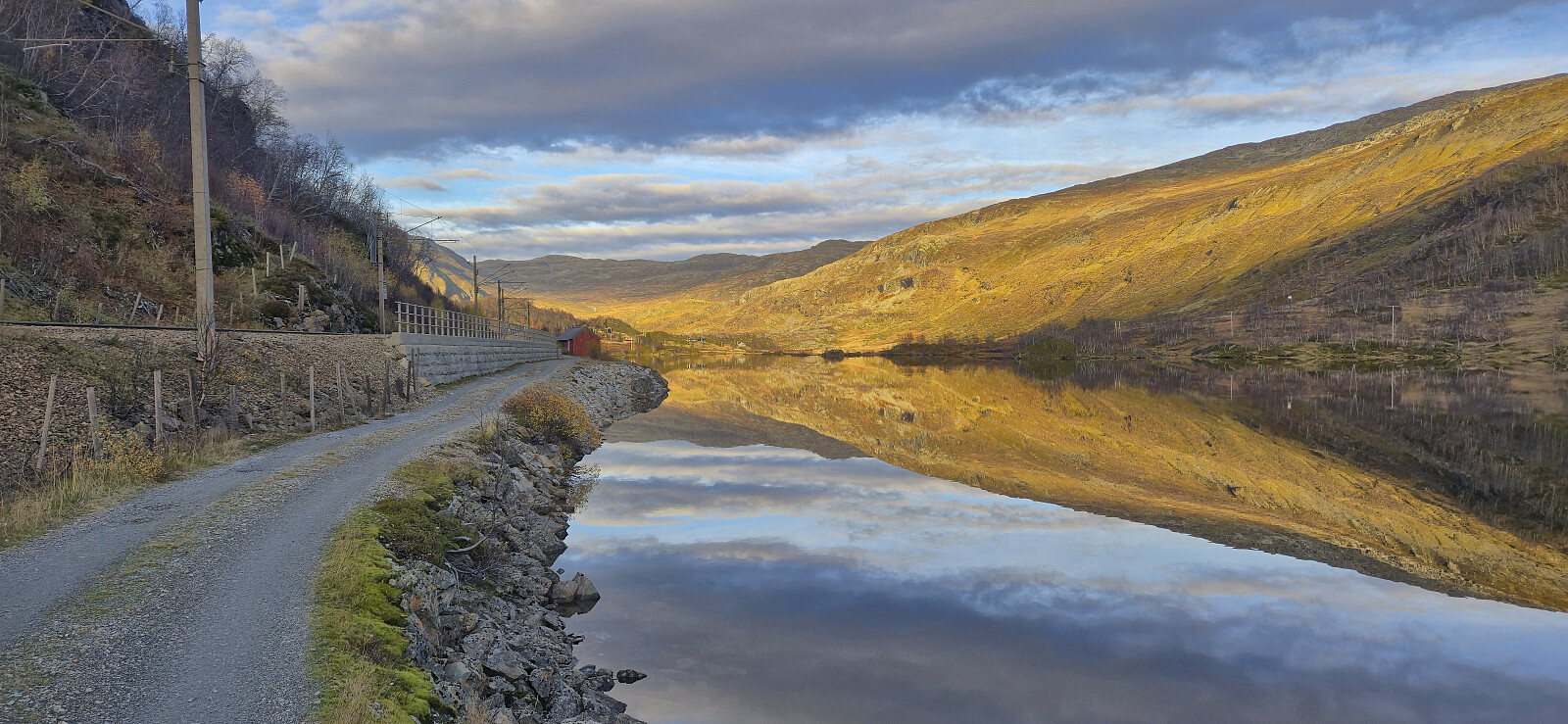
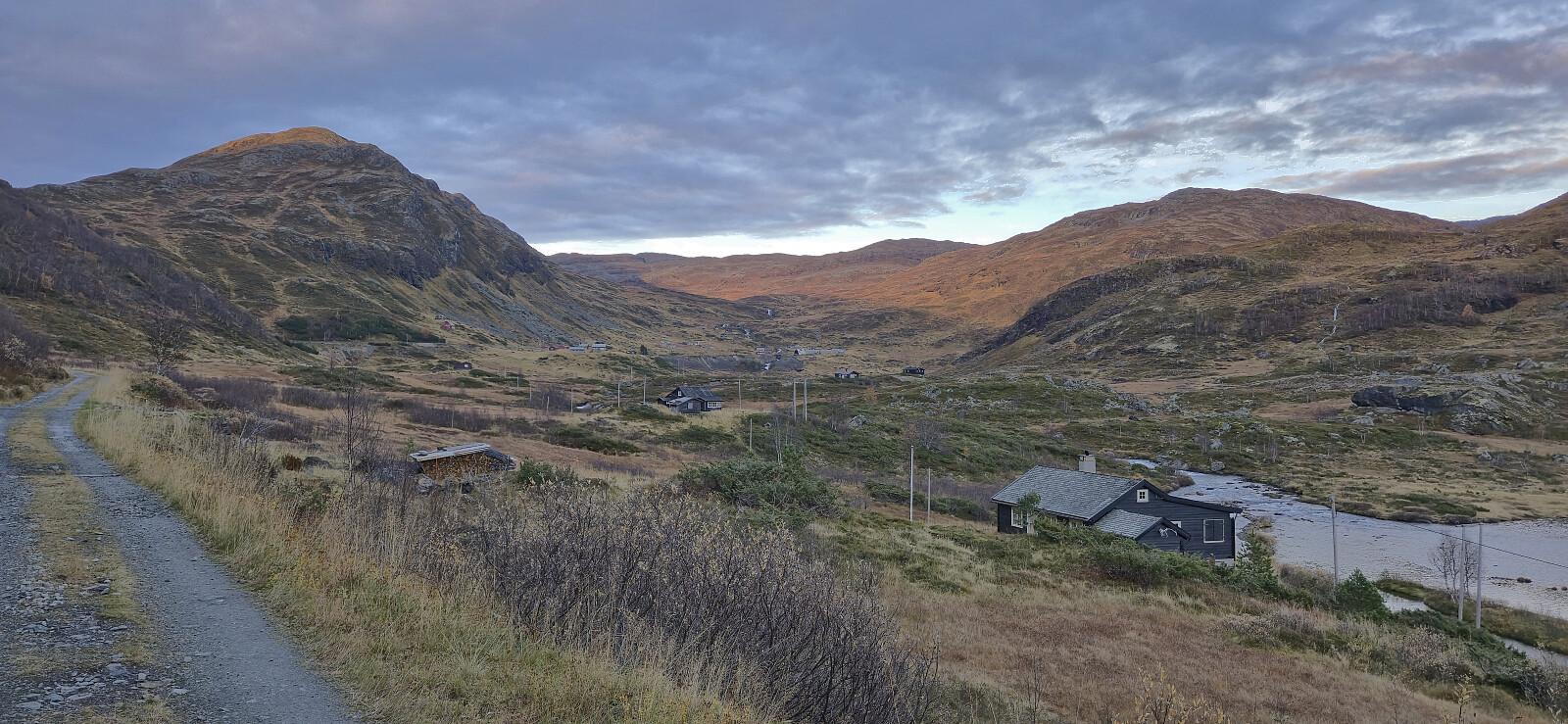
Next, I followed the gravel road south to Slondalsvatnet from where I continued via a trail along the lake to Slondal and to Brauåni as the sun was rising. South of Brauåni I started on what the signs called Fagerdalsrunden before later leaving this route at Kvitli. Here I crossed the stream via a small bridge and continued on a weak trail marked by cairns (although there probably could have been a couple more) up to Kvannjolevatnet.
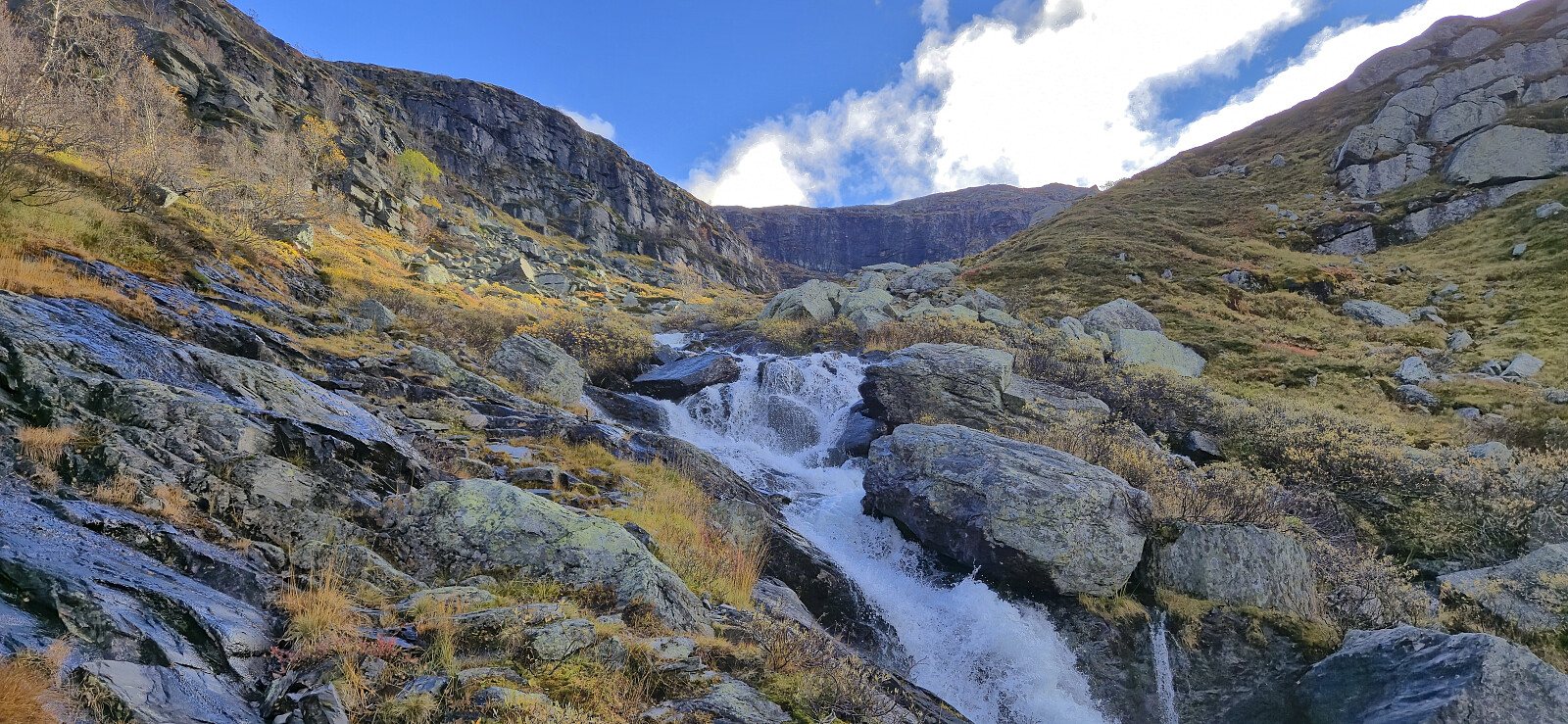
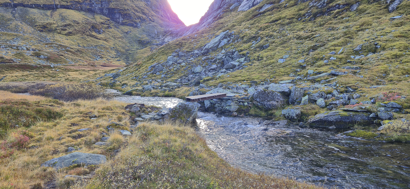
In order to continue the ascent from Kvannjolevatnet, I now had to get to the other side of the river. This was overall straightforward and did not include any danger as the water was flowing very slowly, but with water up to my thighs it was a pretty cold experience in mid-October. After putting my boots back on, I quickly resumed the ascent to warm up.
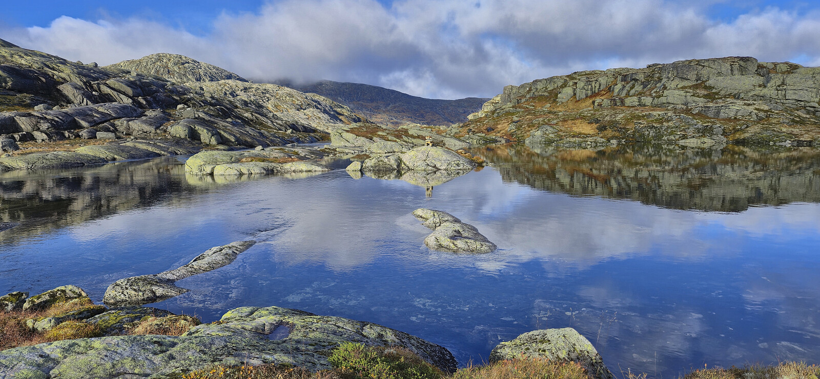
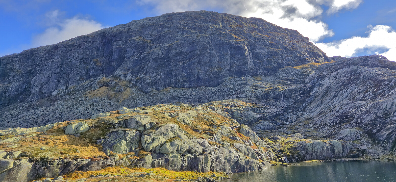
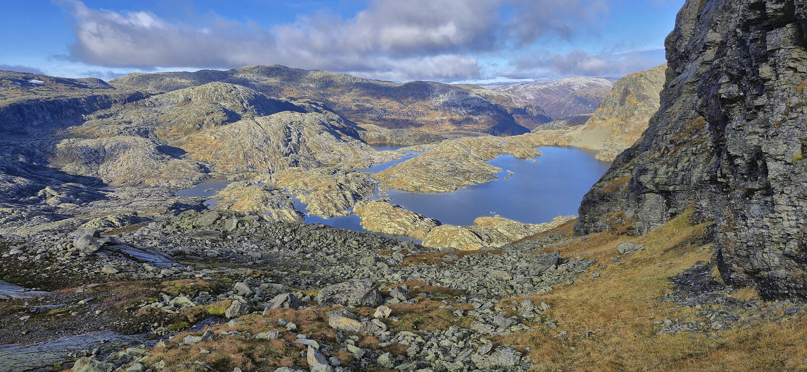
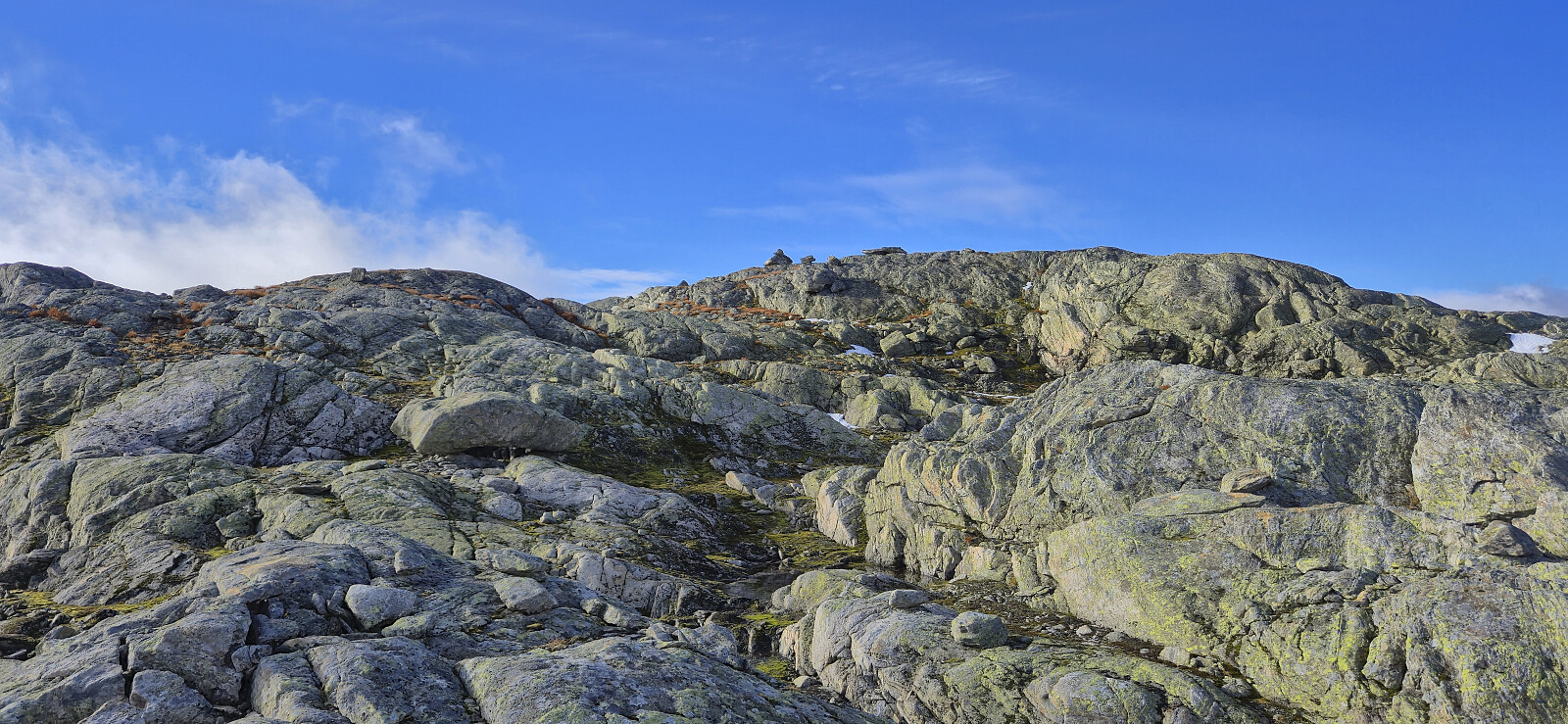
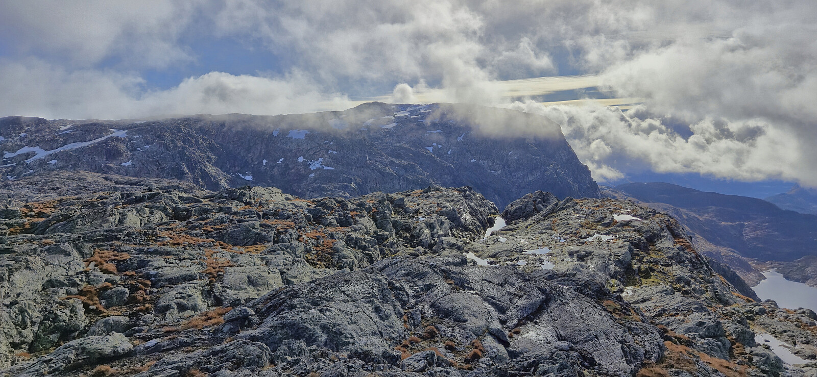
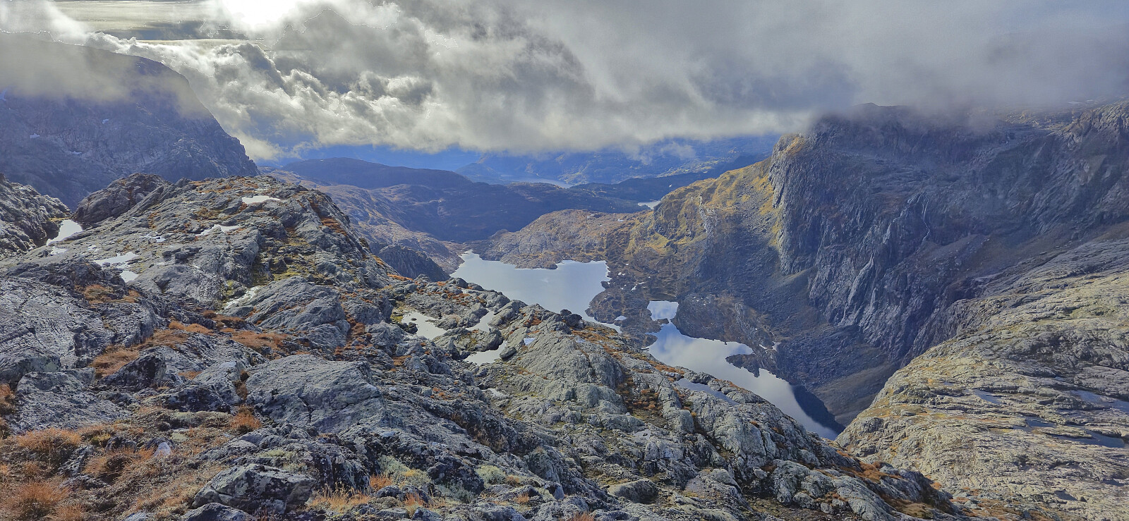
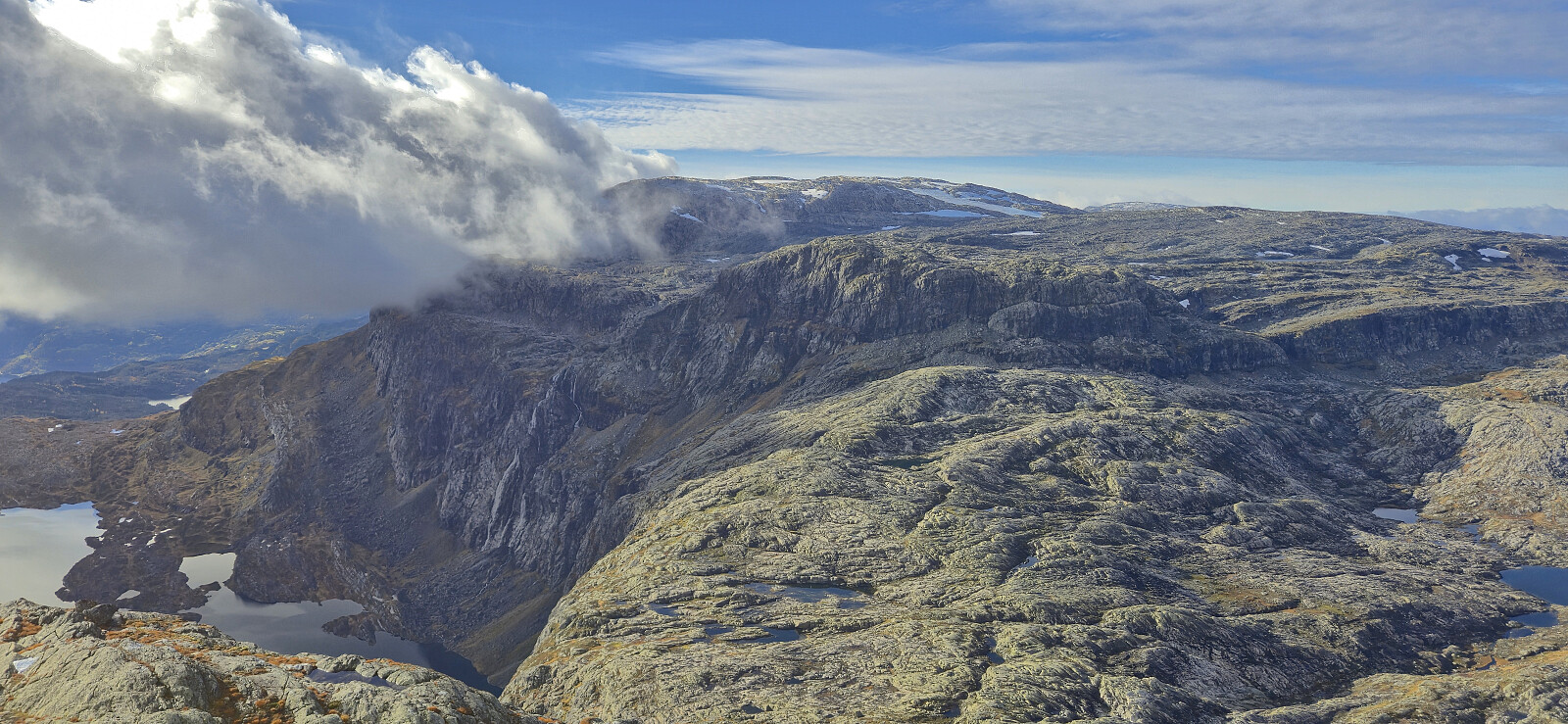
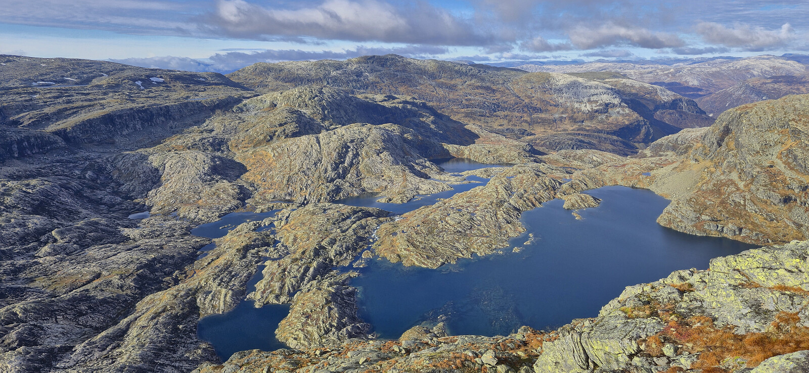
The summit of Reinskarnuten was now pretty close, but a detour was required to ascend from the less steep northeastern side. Getting there required some route-finding, although the overall route was relatively obvious and there was even the occasional cairn. After a short break south of the summit, I completed the detour north/northwest and completed the final ascent without any issues. The summit provided excellent views, despite the low-hanging clouds doing their best to hide both Vassfjøro and Skorafjellet.
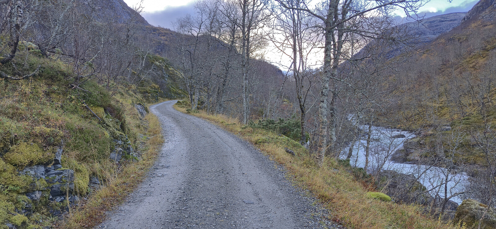
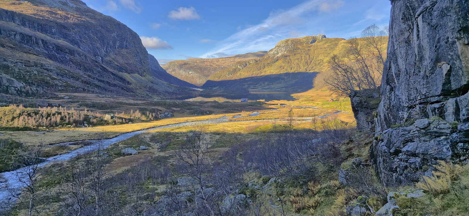
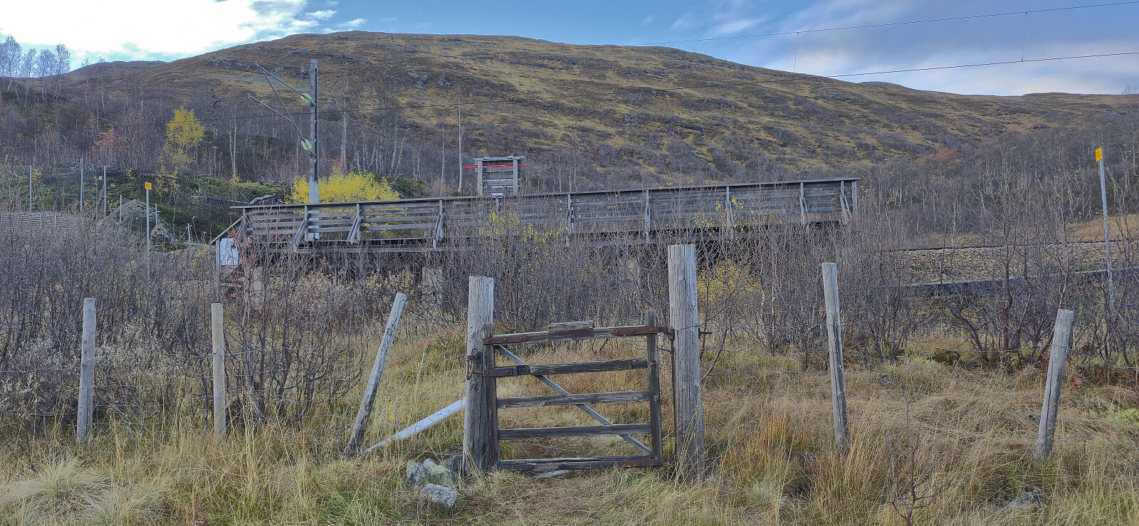
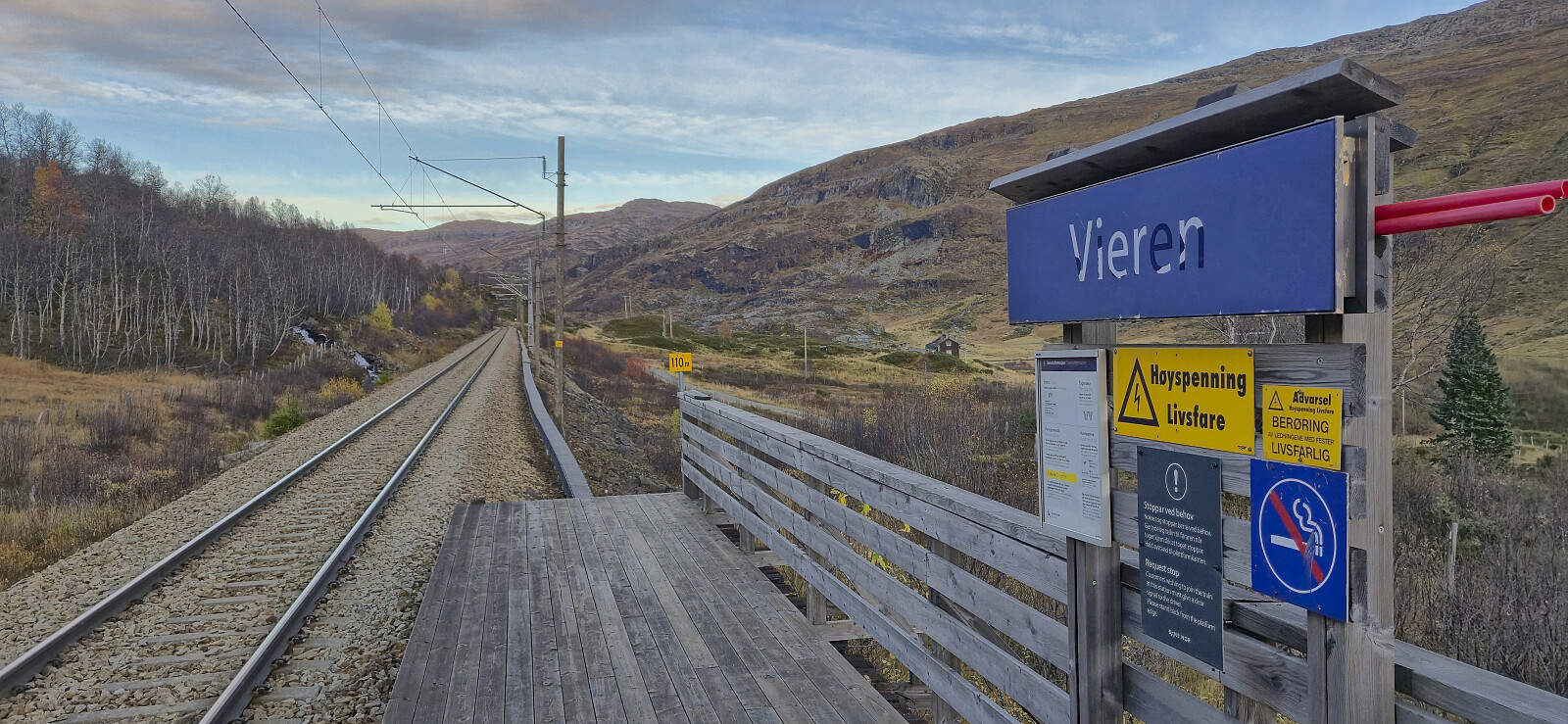
I descended via the same route and returned to the gravel road with plenty of time to spare. In order to reduce the waiting time at the train station I therefore ended up walking all the way to Upsete before getting on the train. On the way there I also made sure to visit the tiny train station at Vieren, the last stop of Bergensbanen/Vossebanen I was missing between Bergen and Finse. (Note that there is no cell phone reception at Upsete. You therefore have to make sure to buy the train tickets in advance, or on the train.)
In summary, if you are prepared for the short, but potentially very cold, river crossing at Kvannjolevatnet, a hike to Reinskarnuten via Slondalsvatnet can be very highly recommended. Excellent views along the way, with numerous lakes, rivers and waterfalls to enjoy. The walk along the gravel road to Upsete is also nice but does add around 4 km to the distance.
| Start date | 12.10.2025 09:08 (UTC+01:00 DST) |
| End date | 12.10.2025 18:17 (UTC+01:00 DST) |
| Total Time | 9h 09min |
| Moving Time | 8h 09min |
| Stopped Time | 1h 00min |
| Overall Average | 2.9km/h |
| Moving Average | 3.2km/h |
| Distance | 26.3km |
| Vertical meters | 1,278m |


User comments