Five summits north of Brekkedalen (05.10.2025)

Written by hbar (Harald Barsnes) GSM

Start point Tverraldskaret (944m)
Endpoint Tverraldskaret (944m)
Characteristic Hillwalk
Duration 7h 45min
Distance 22.8km
Vertical meters 1,525m
GPS
Ascents Solheimsfjellet (1,331m) 05.10.2025 11:48
Viksetnipa (1,348m) 05.10.2025 13:10
Uraskarfjellet (1,434m) 05.10.2025 14:16
Vest for Fyresnipa (1,325m) 05.10.2025 15:15
Fyresnipa (1,459m) 05.10.2025 16:21
Visits of other PBEs Brekkedalsvegen (437m) 05.10.2025 09:20

Five summits north of Brekkedalen

Traces of Amy below Stalheim...
Tverraldskaret
Tverraldskaret
Following the road to Vikset
Approaching Vikset
Approaching Vikset
Viksetskaret
Viksetskaret
Looking back towards Vikset
Solheimsfjellet
Solheimsfjellet
Sollifjellet from Solheimsfjellet
Bjørndalskamben fr. Solheimsfjellet
Dueskardvatnet fr. Solheimsfjellet

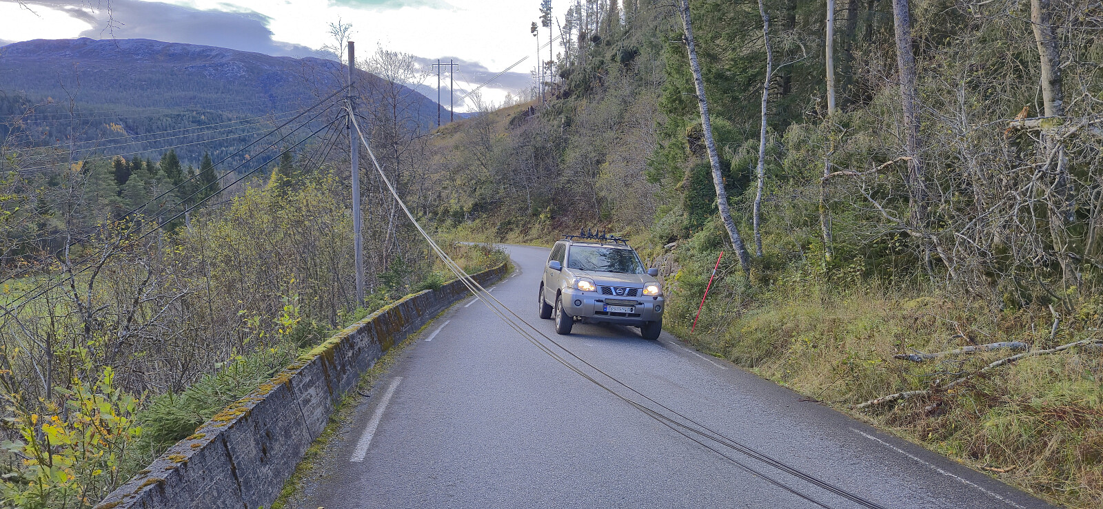
For the second weekend in a row, Endre picked me up at my place in Lønborg shortly after 07:00 for a drive to Voss. This time we however continued northeast to Stalheim and Brekkedalen. Along the way we saw lots of traces of Amy - the storm that had passed over Hordaland the night before, and even had to avoid a wire stretched halfway across the road in order to get to Stalheim Hotel, but thankfully the trees that had blocked the road had already been removed.

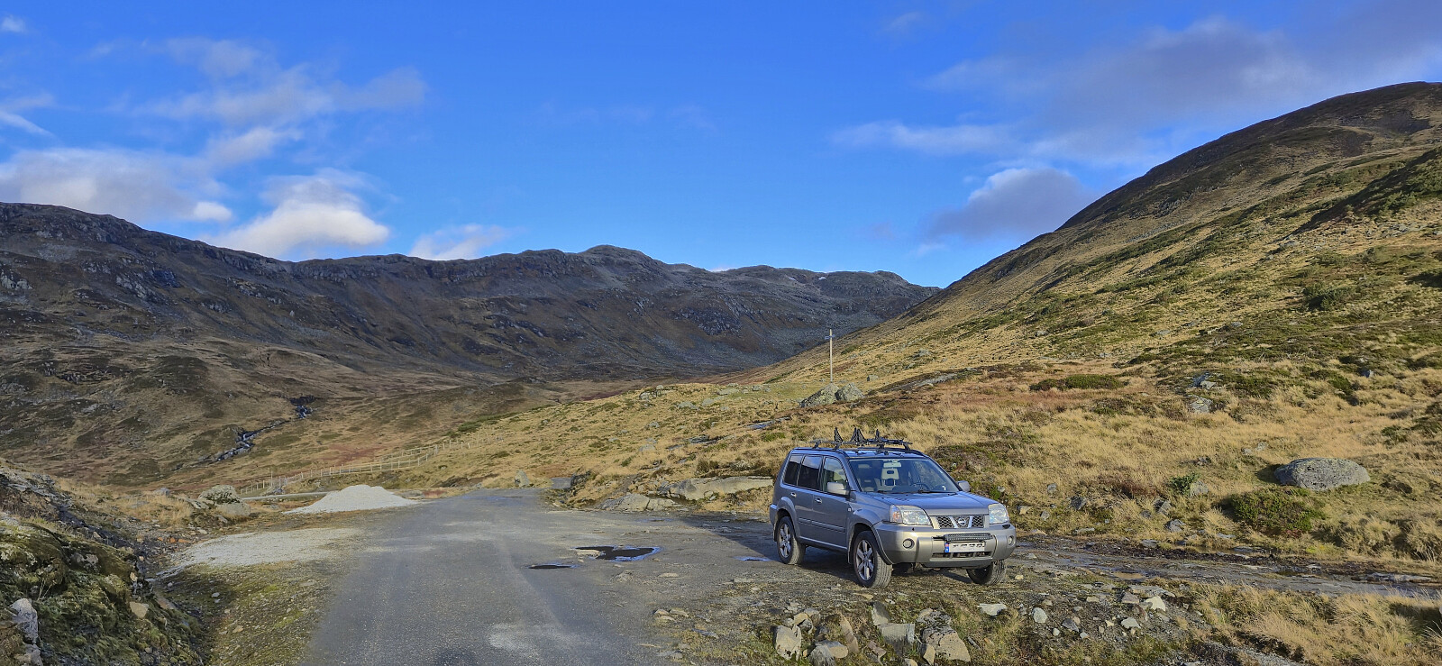
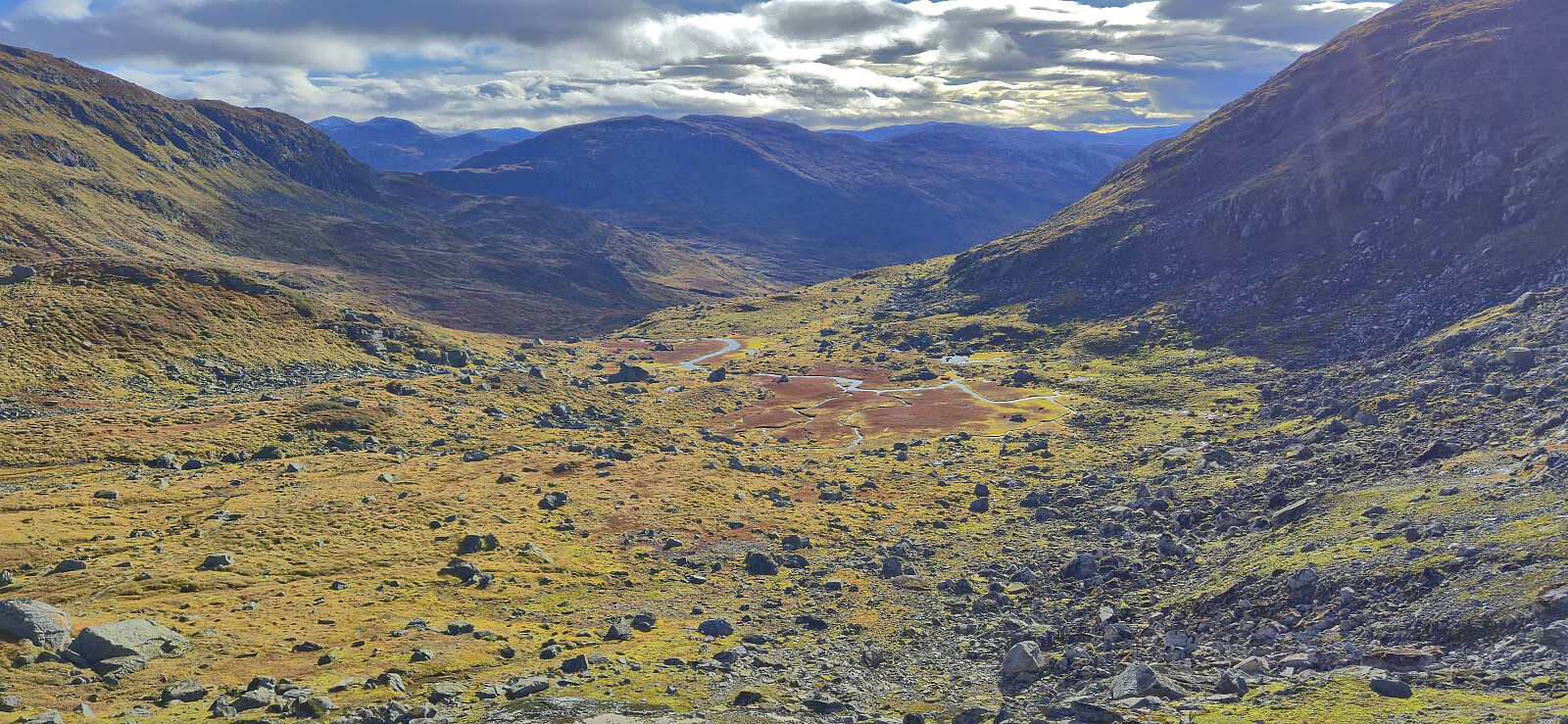
After paying the 50 kr toll at the start of Brekkedalsvegen we drove up to Tverraldskaret. Here we parked the car next to the road and then followed the gravel road back down to Kinnarbakken and onwards to Vikset.

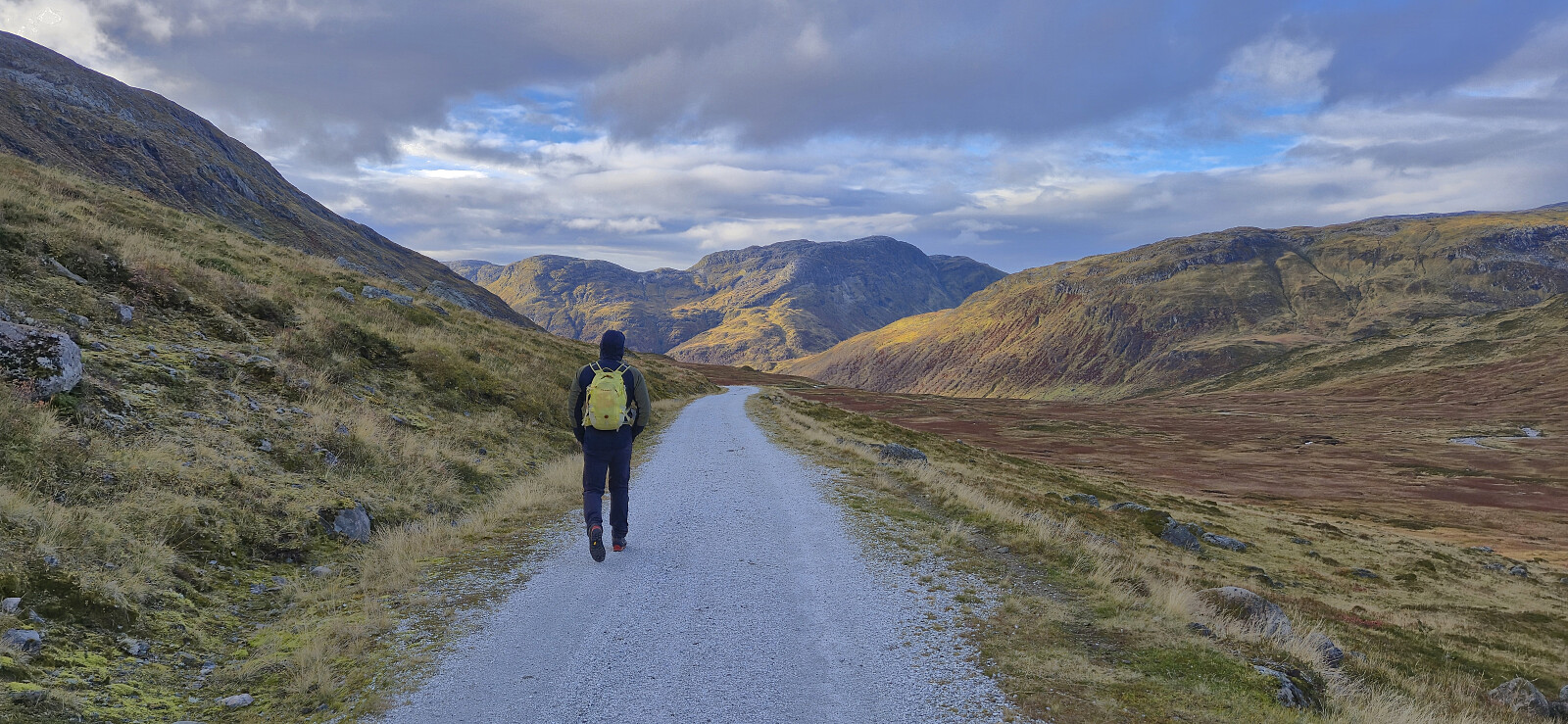
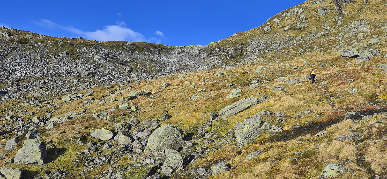
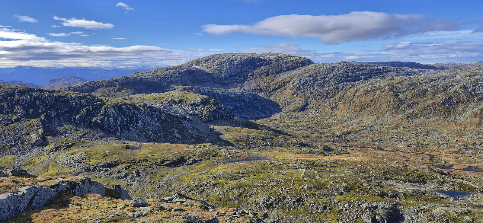
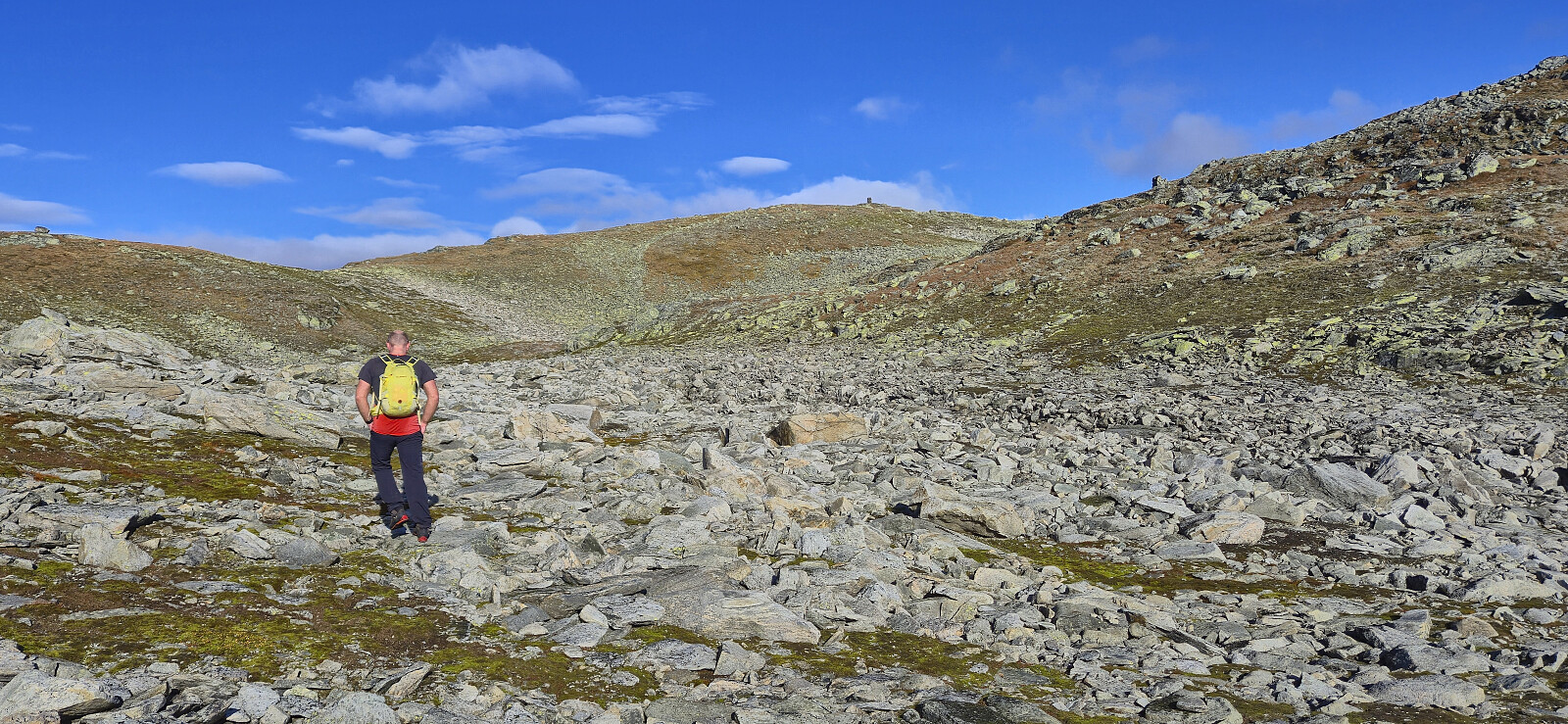
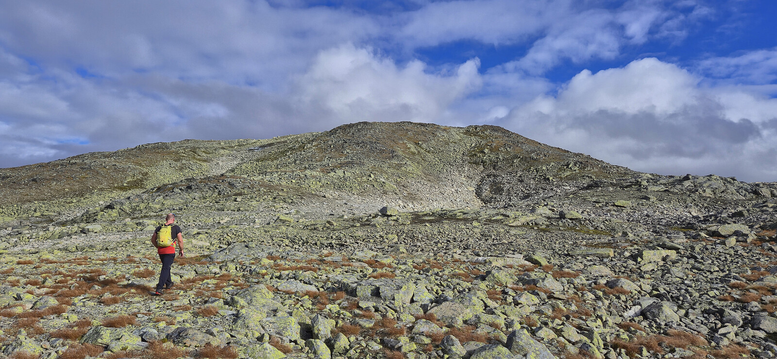
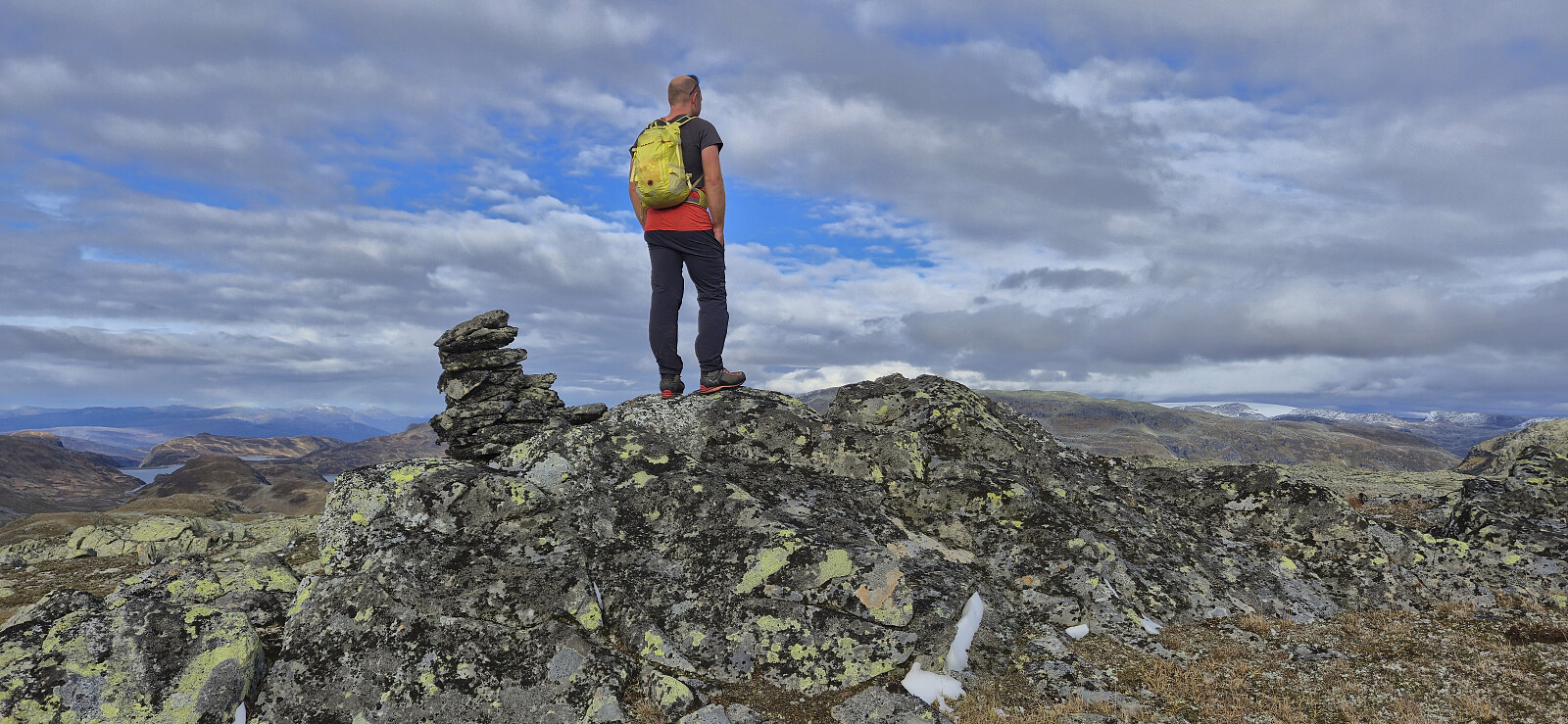
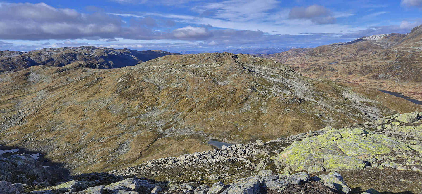
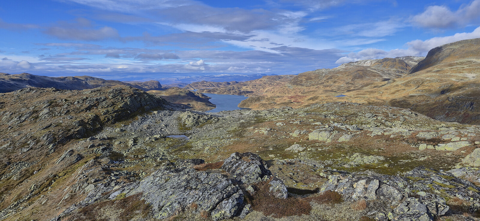
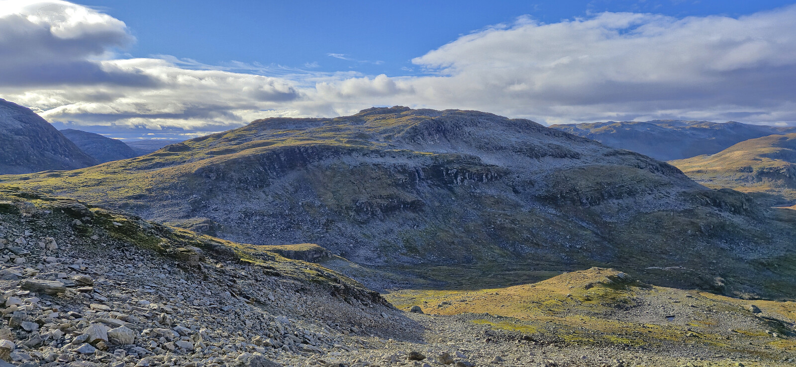
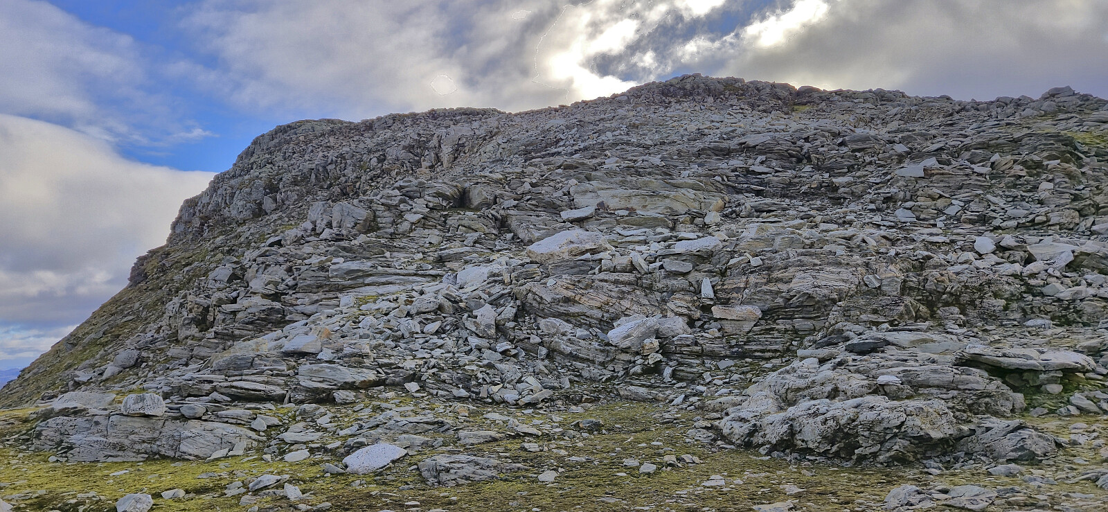
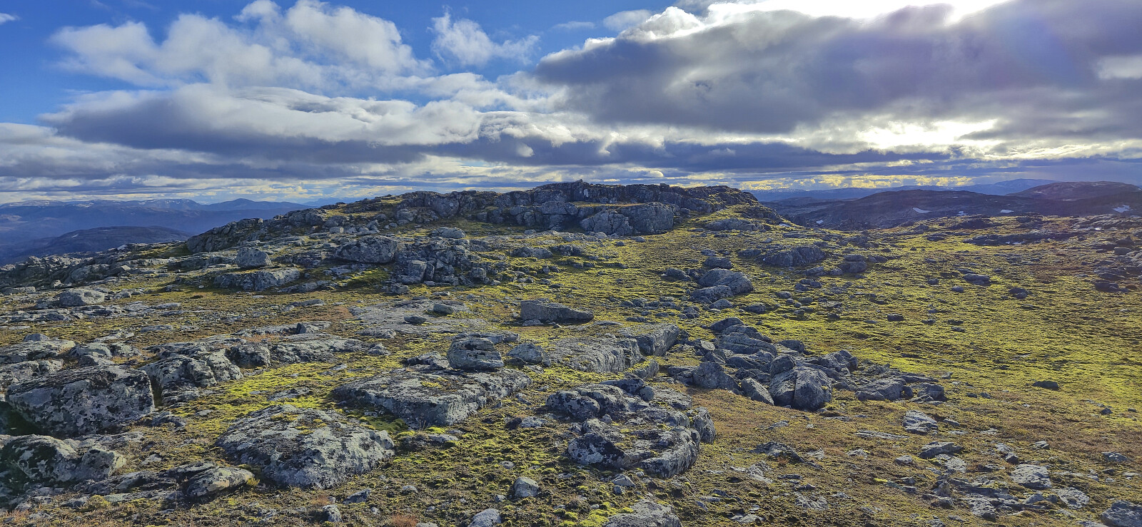
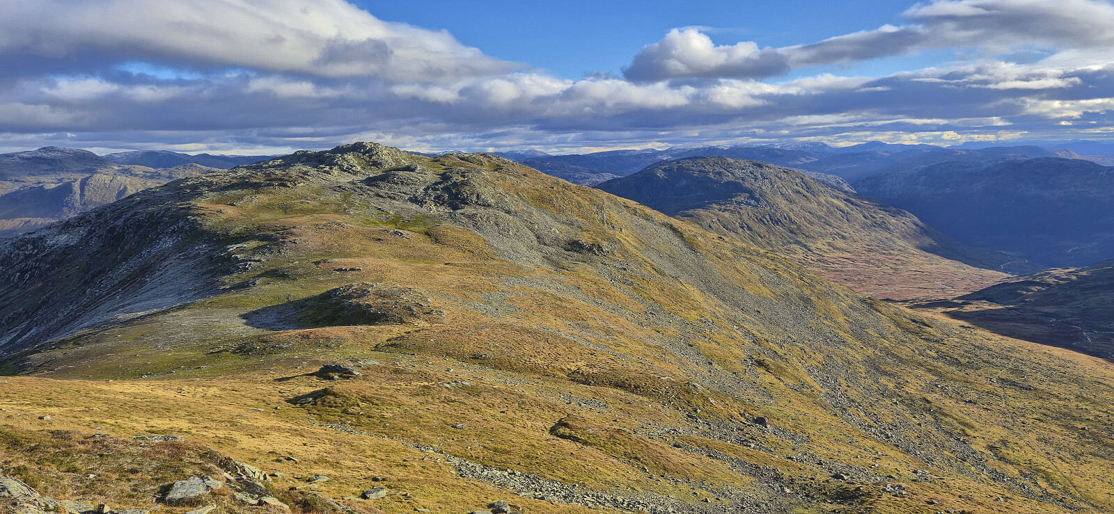
From Vikset we followed an unmarked, and at times quite weak (we lost it a couple of times), trail up to Viksetskaret. Here we turned west and headed off-trail to the summit of Solheimsfjellet, which provided excellent views. After a short break we returned the same way and then began our ascent of Viksetnipa. This was straightforward and the summit was reached without any difficulties.

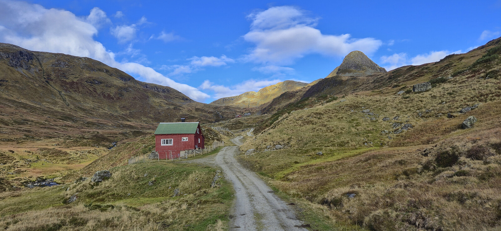
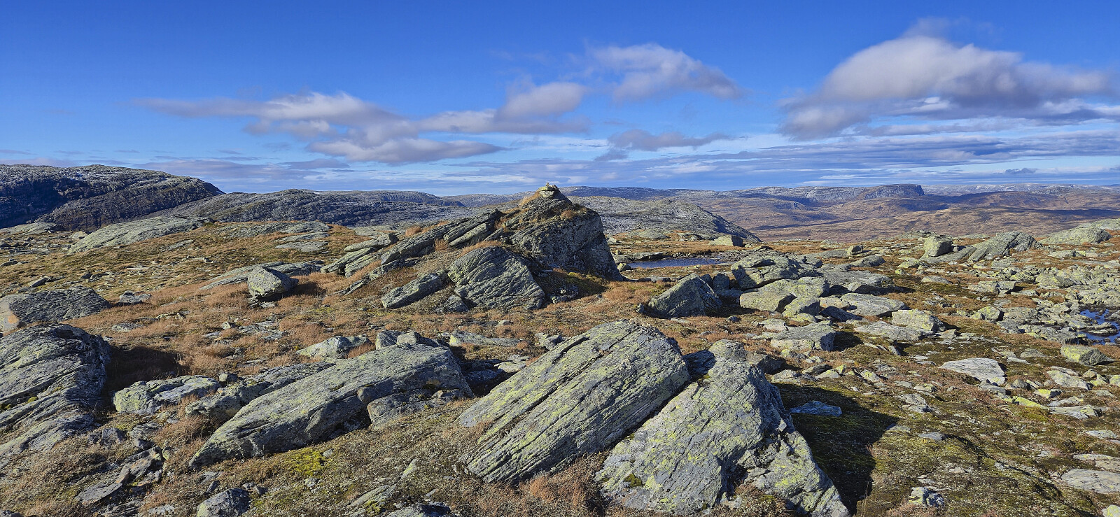
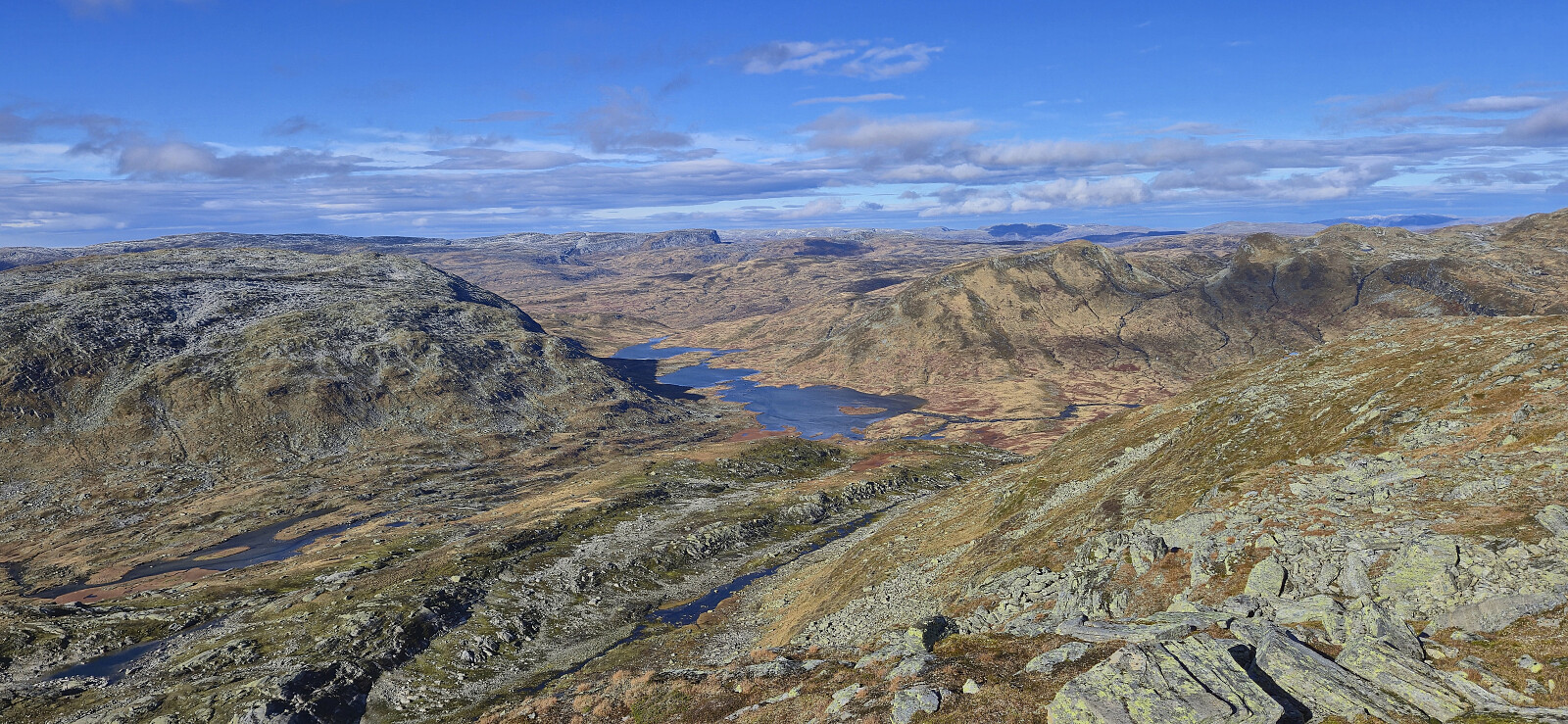
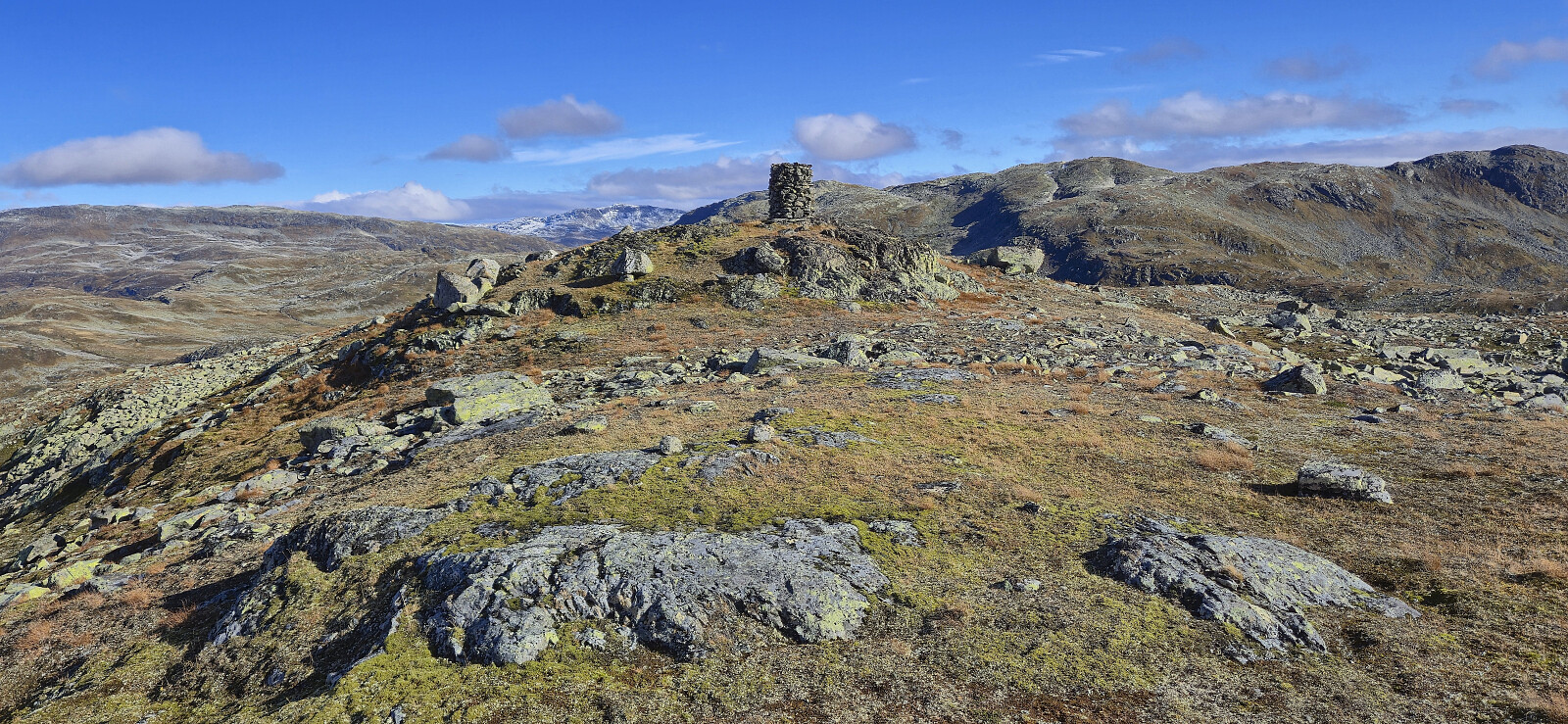
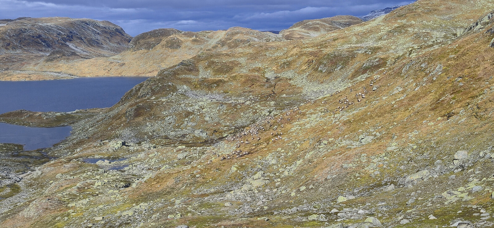
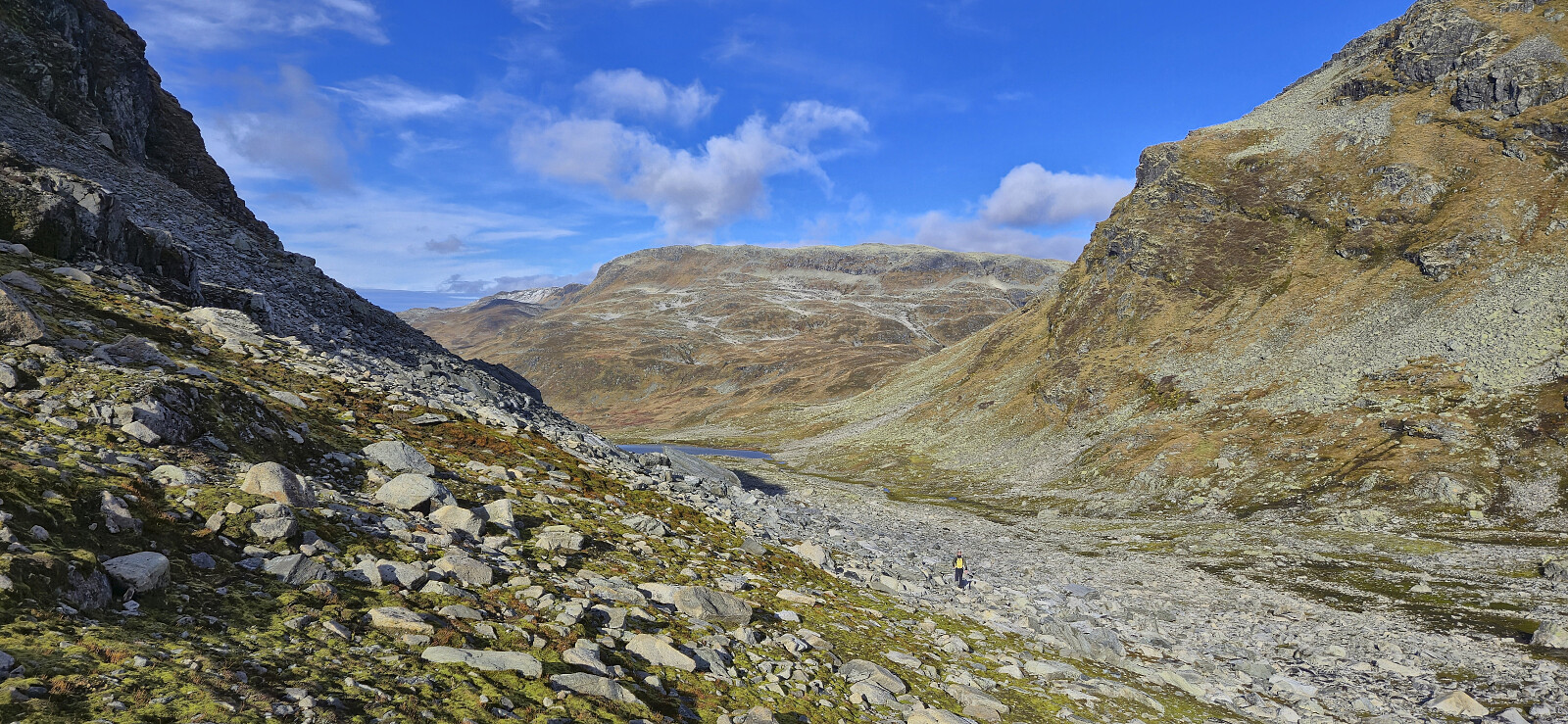
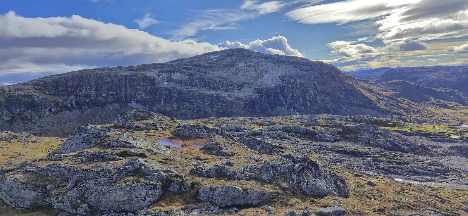
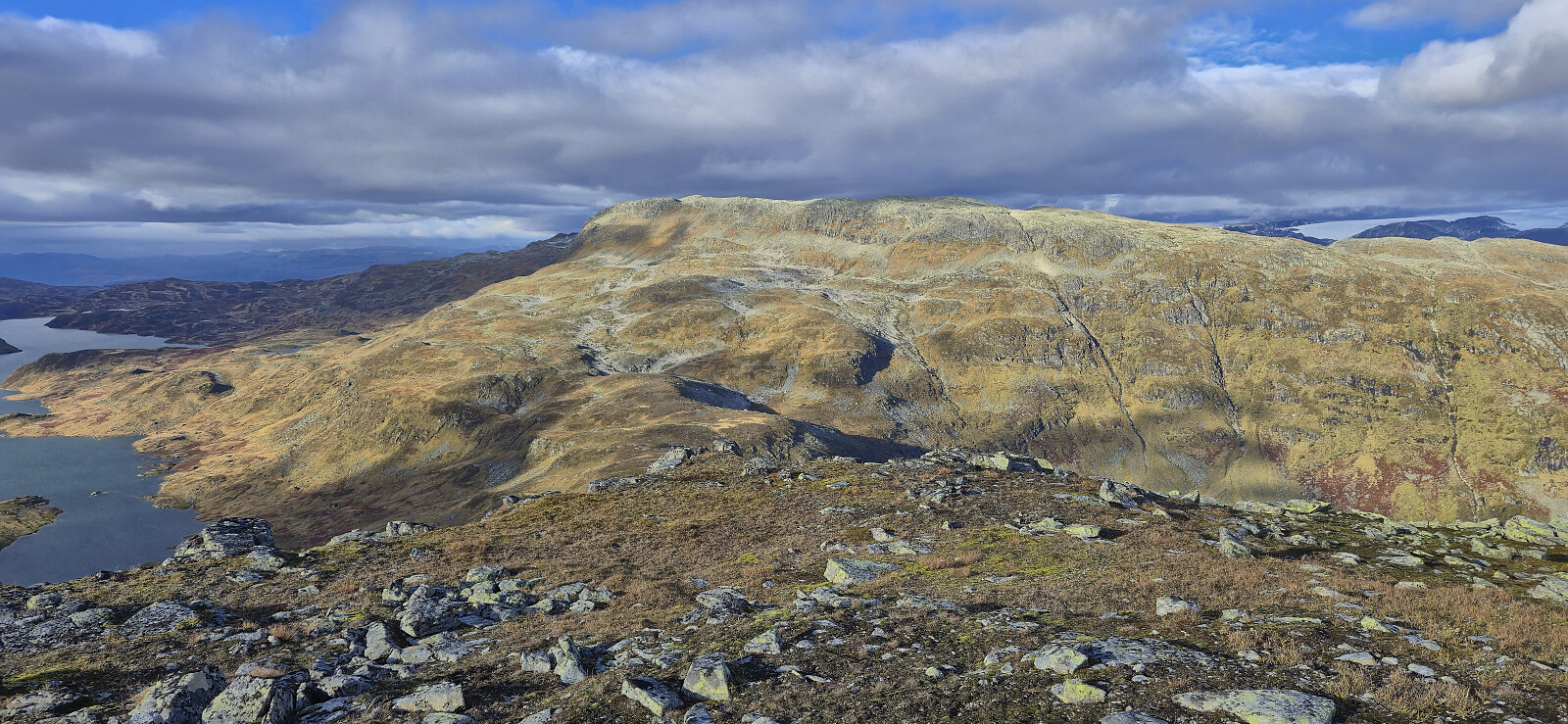
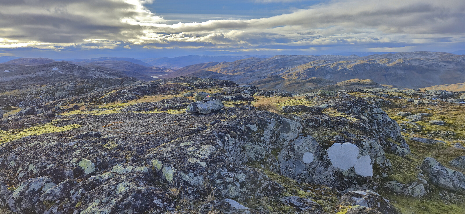
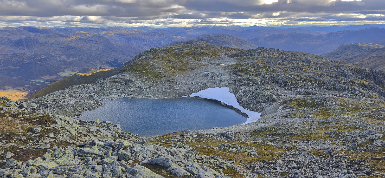
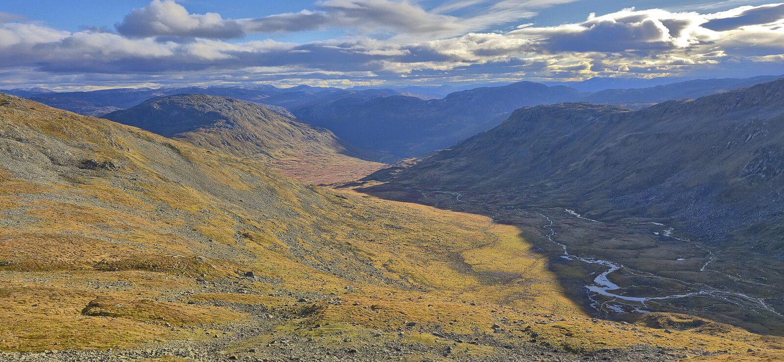
On our way east to Uraskarfjellet we came across a large herd of reindeer south of Ytredalsvatnet, which we of course tried to disturb as little as possible. The route from Viksetnipa to Uraskarfjellet required easy route-finding but did not present any real challenges. From the summit cairn at Uraskarfjellet we followed the ridge northeast before descending into the aptly named Uraskaret for a minor detour to Vest for Fyresnipa.

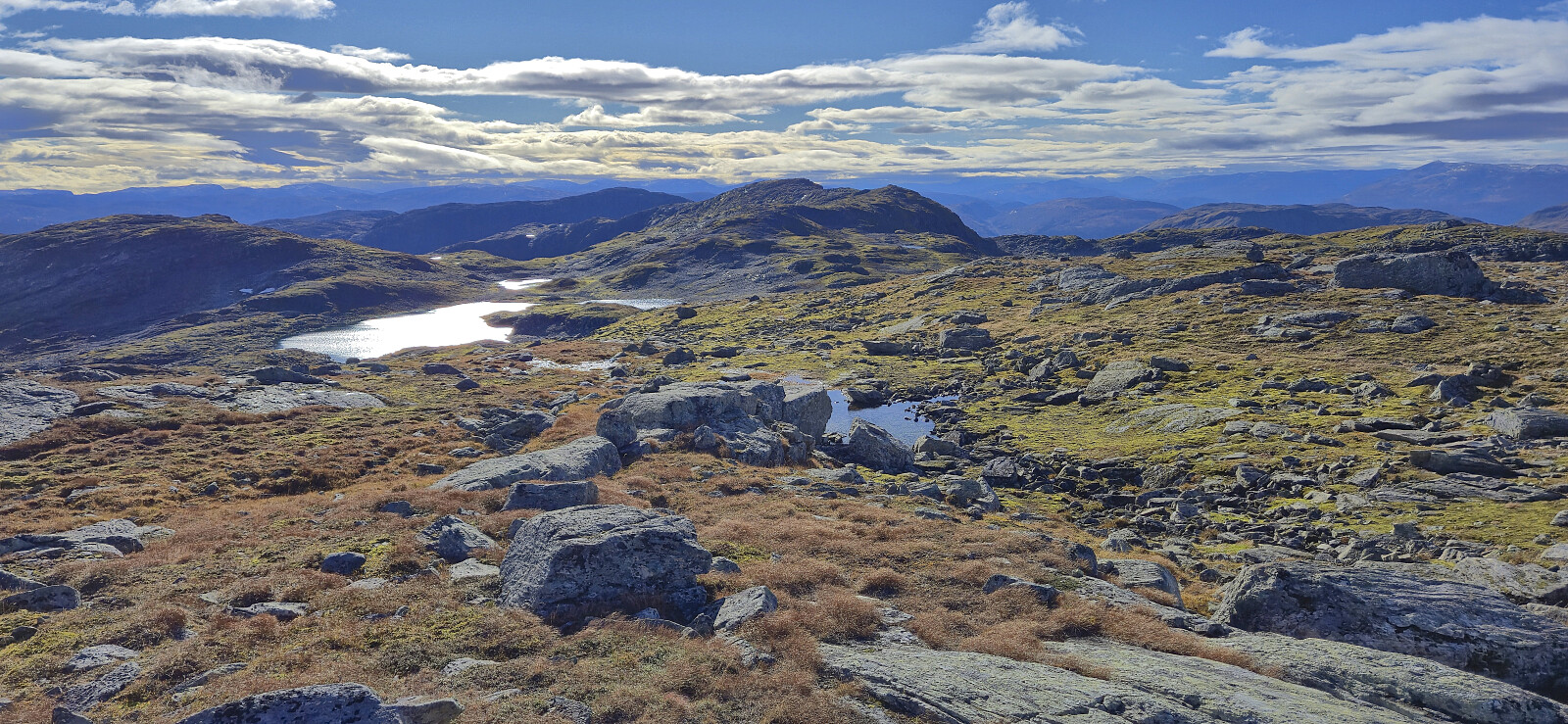
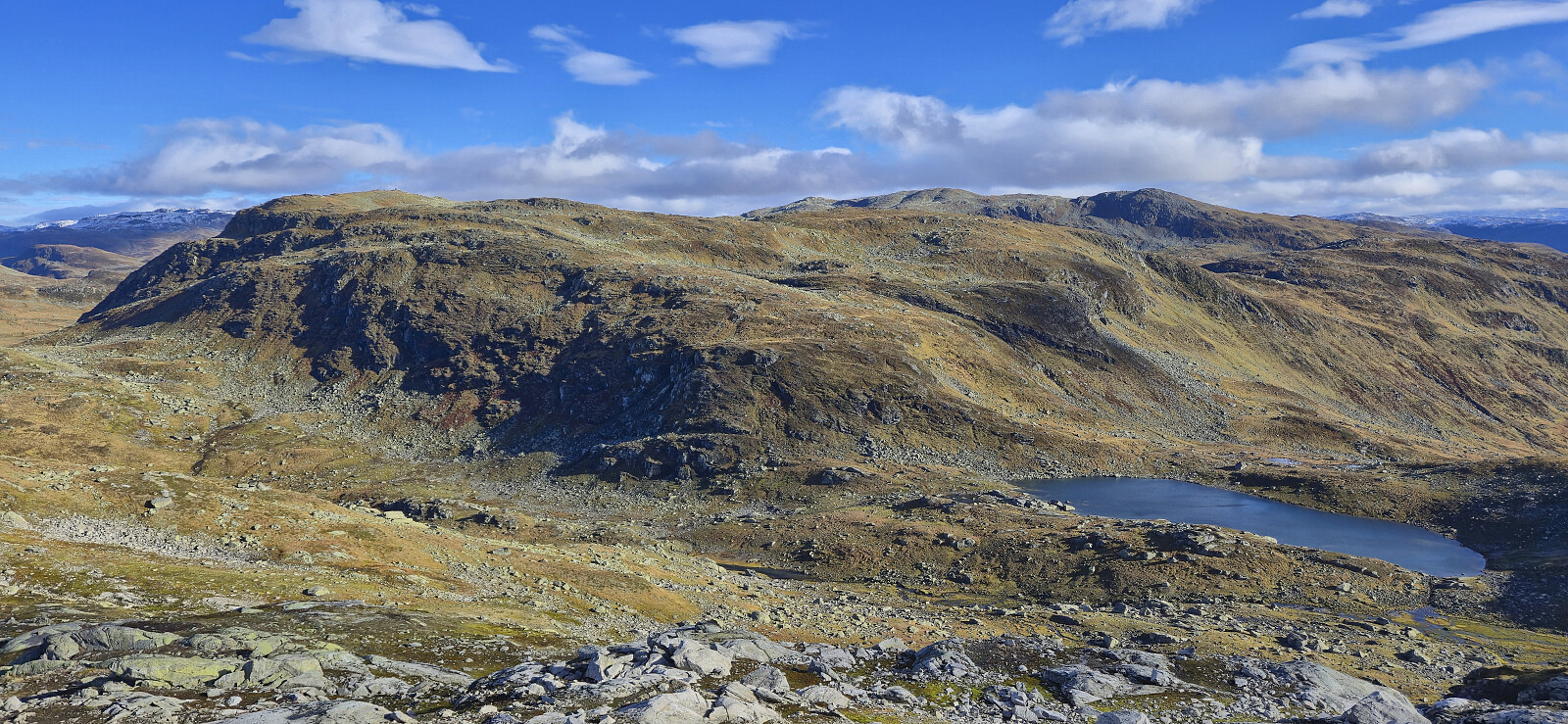
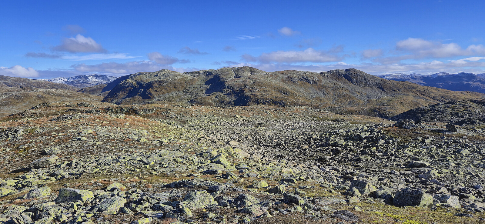
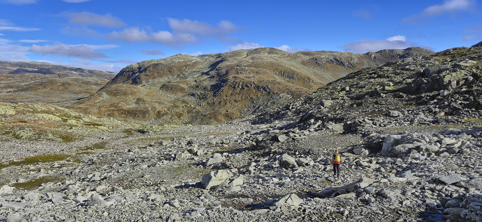
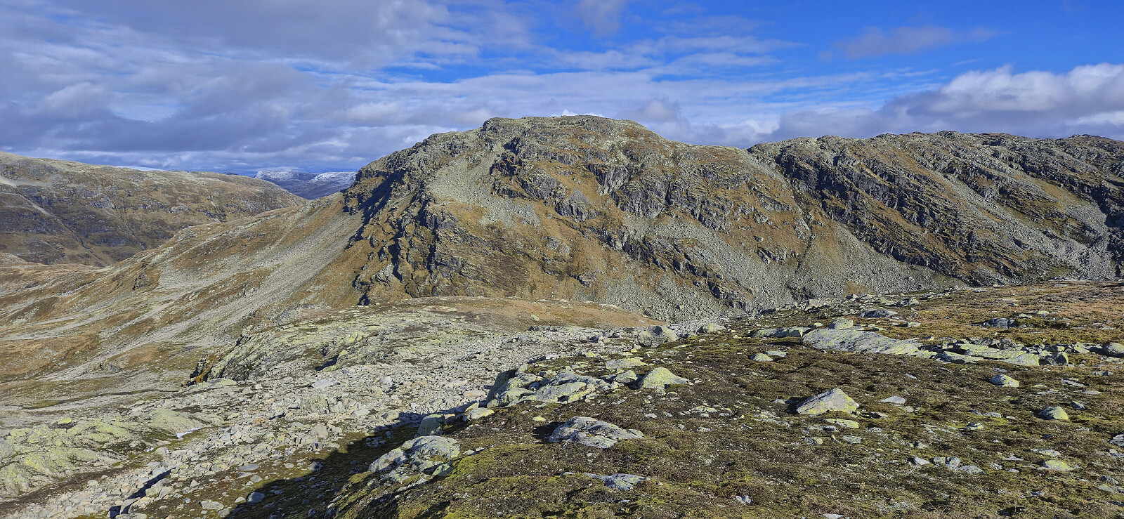
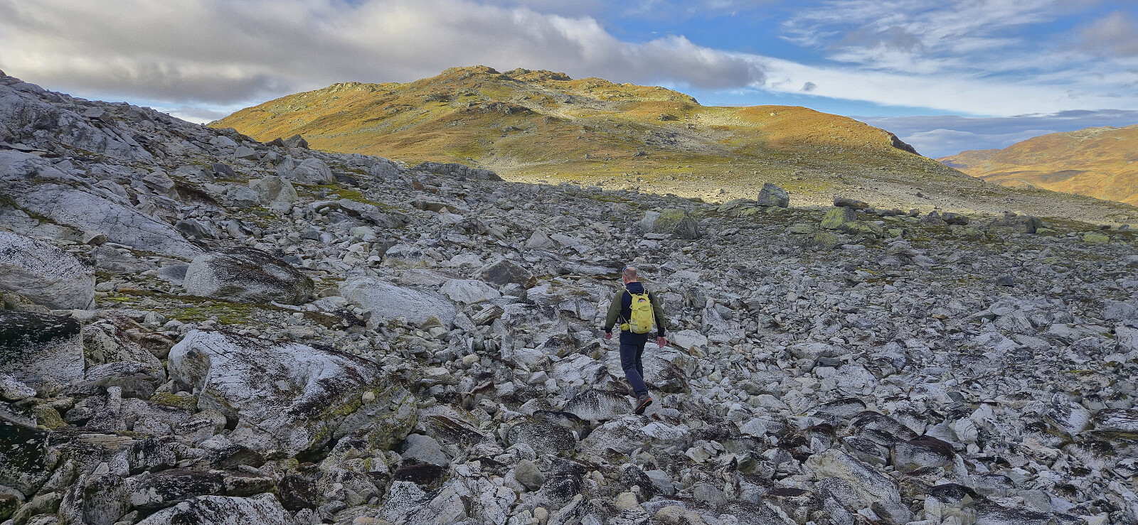
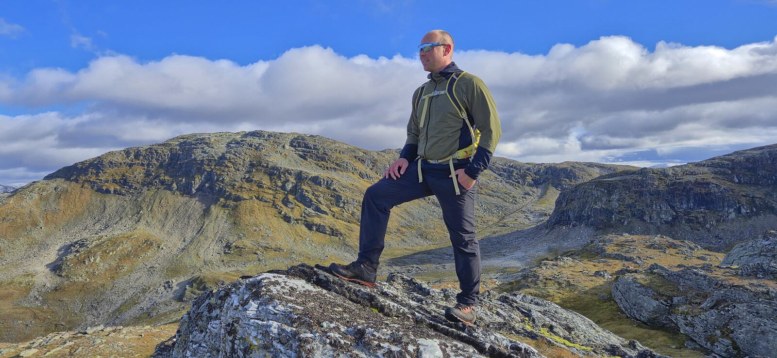
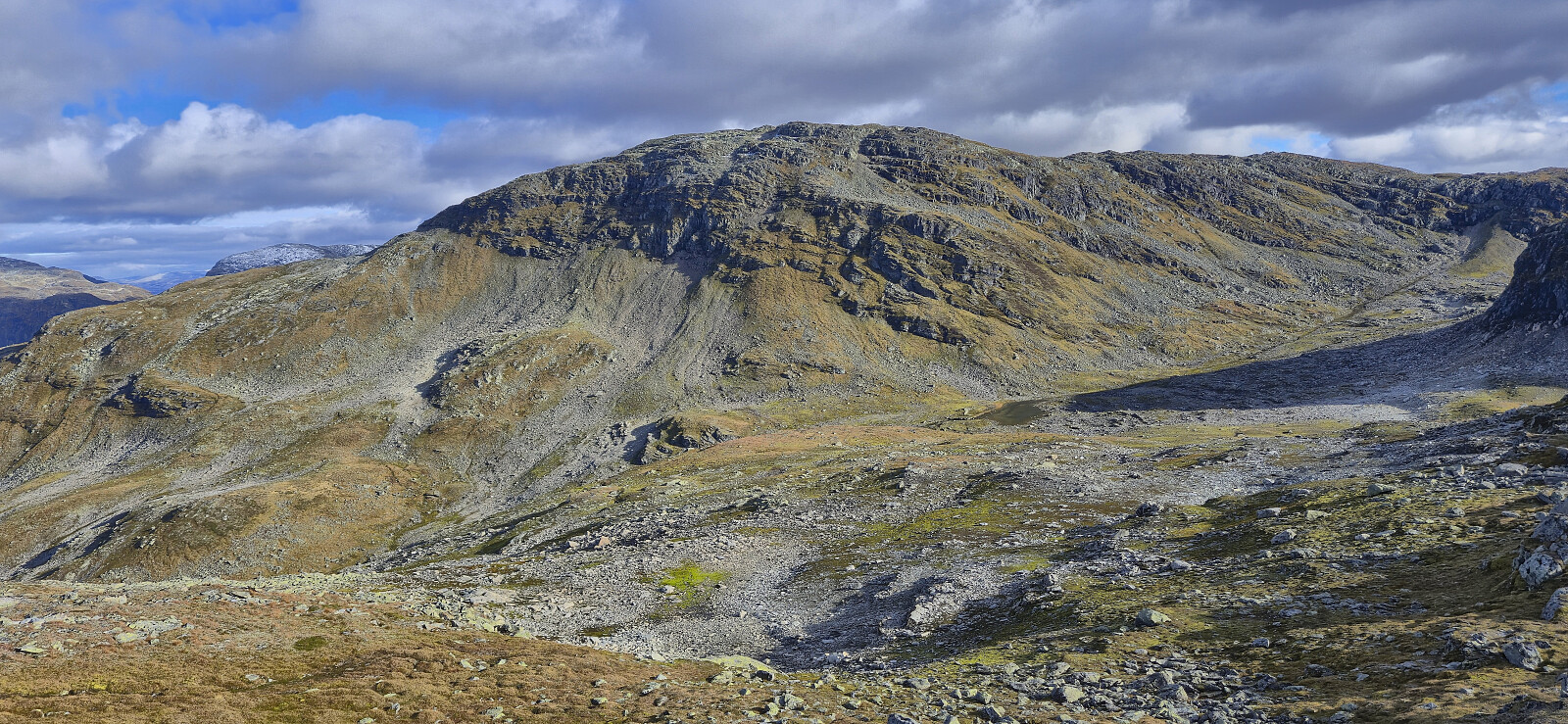
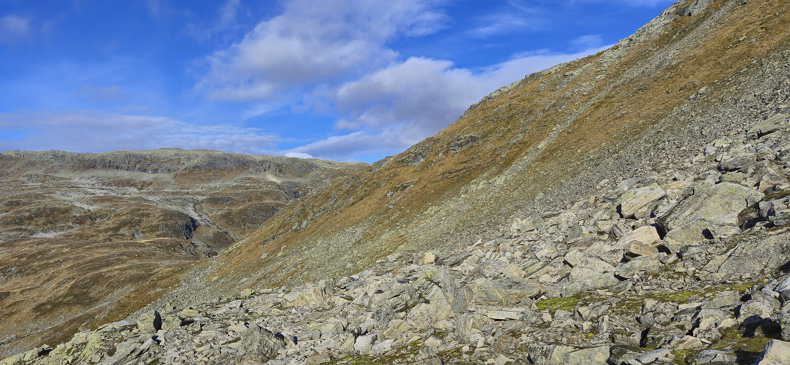
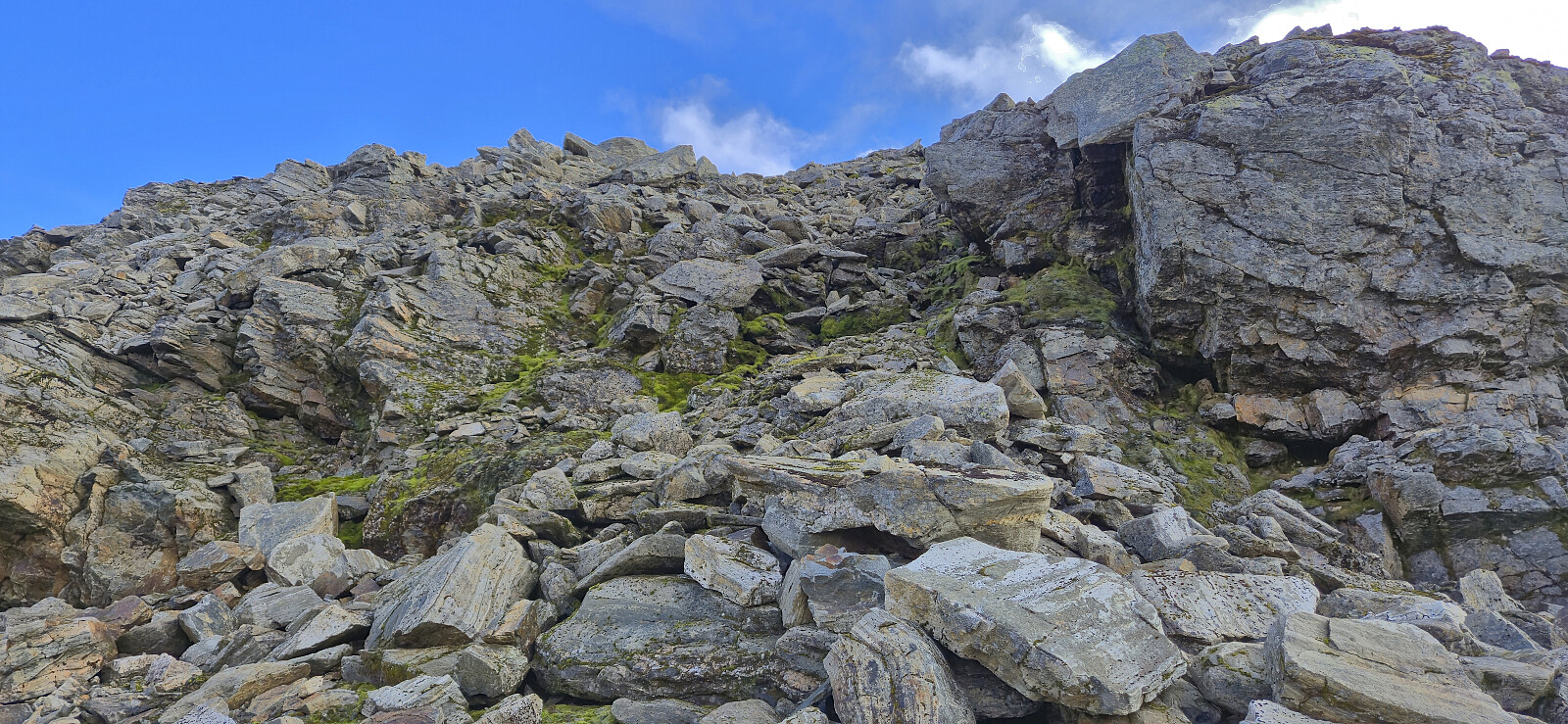
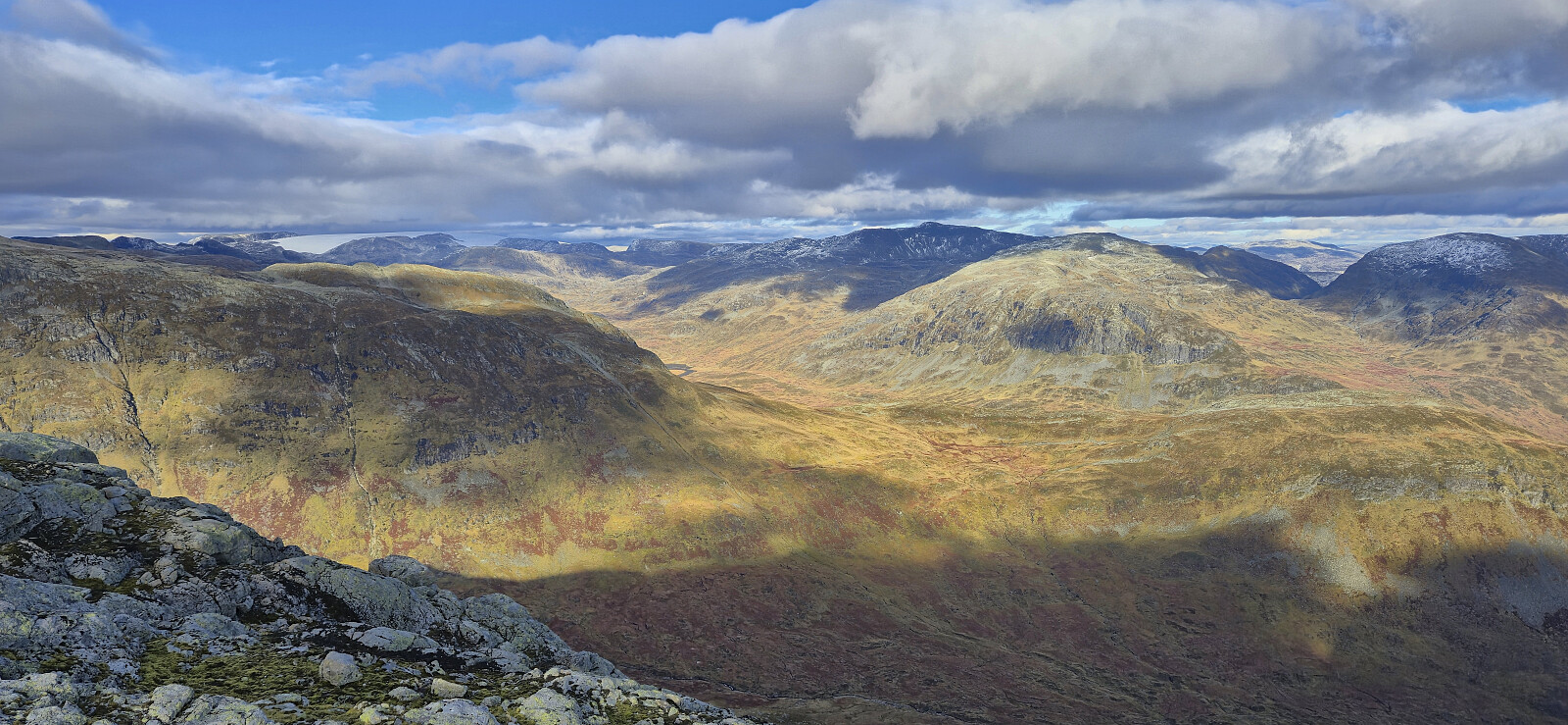
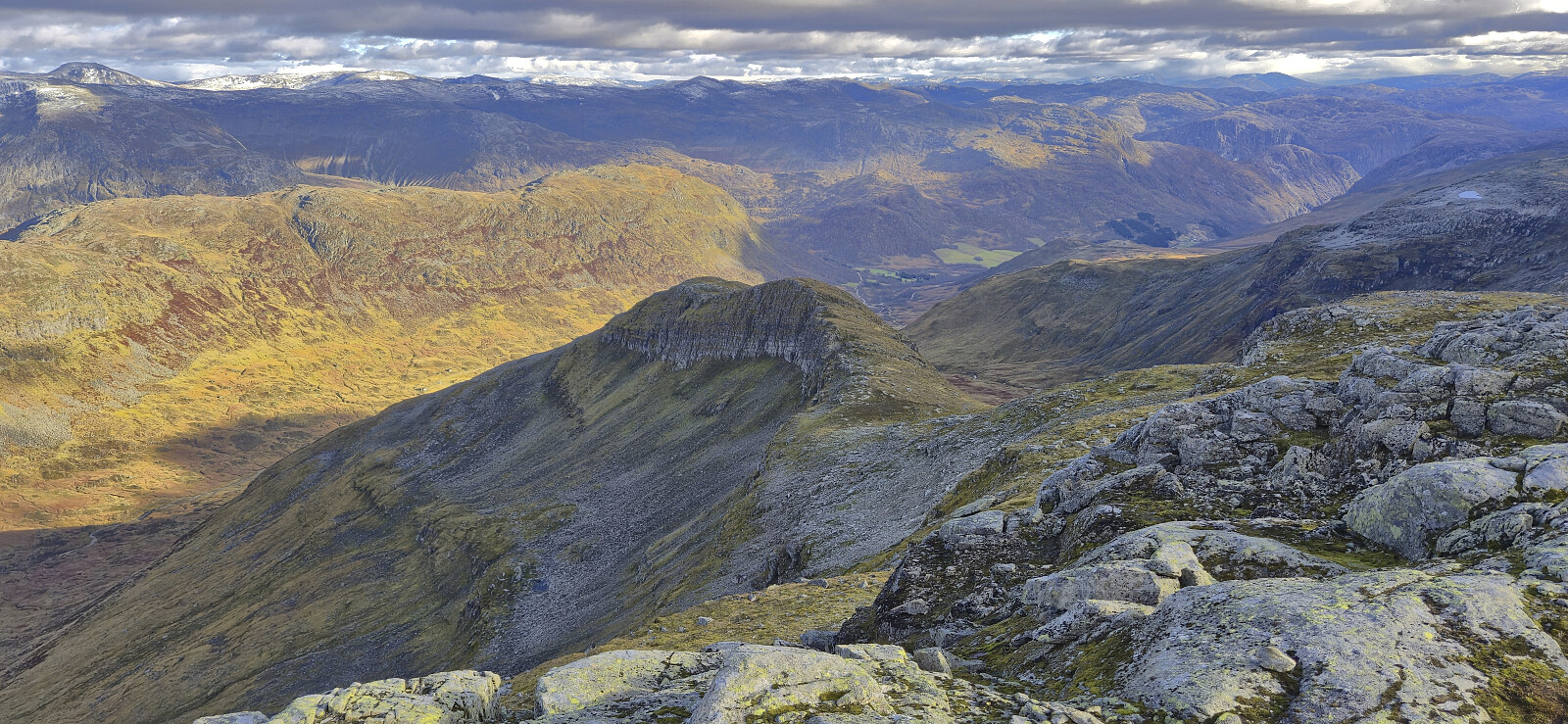
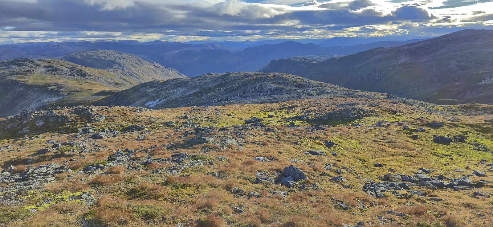
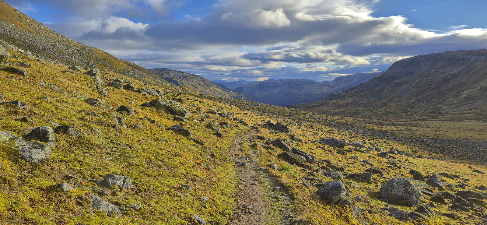
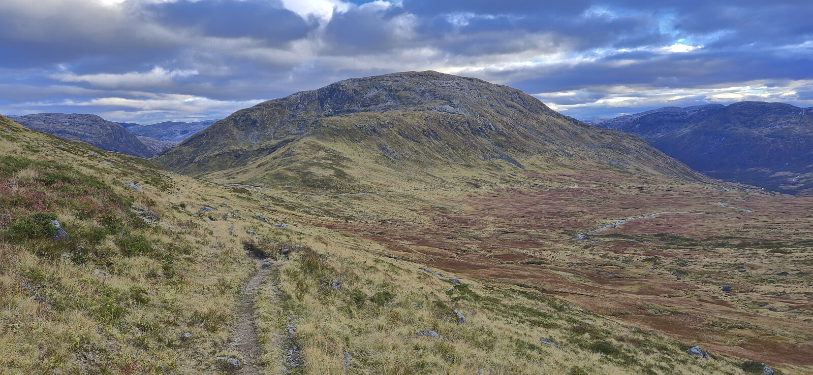
Vest for Fyresnipa also offered an excellent overview of the possible ascent routes to Fyresnipa and we decided to try two different routes. Endre went for a steep option from the southwest while I made my ascent via the ridge from the north. Both options were successful and I can at least attest that my route was straightforward. I only had to use my hands a couple of times for extra support and there were no exposed sections.

When I got to the summit of Fyresnipa, Endre had already been there and was on his way to Vetlafjellet, which I had already visited a month earlier. I could therefore take it relatively easy during the remainder of my hike but still made it back to the car around half an hour before Endre.

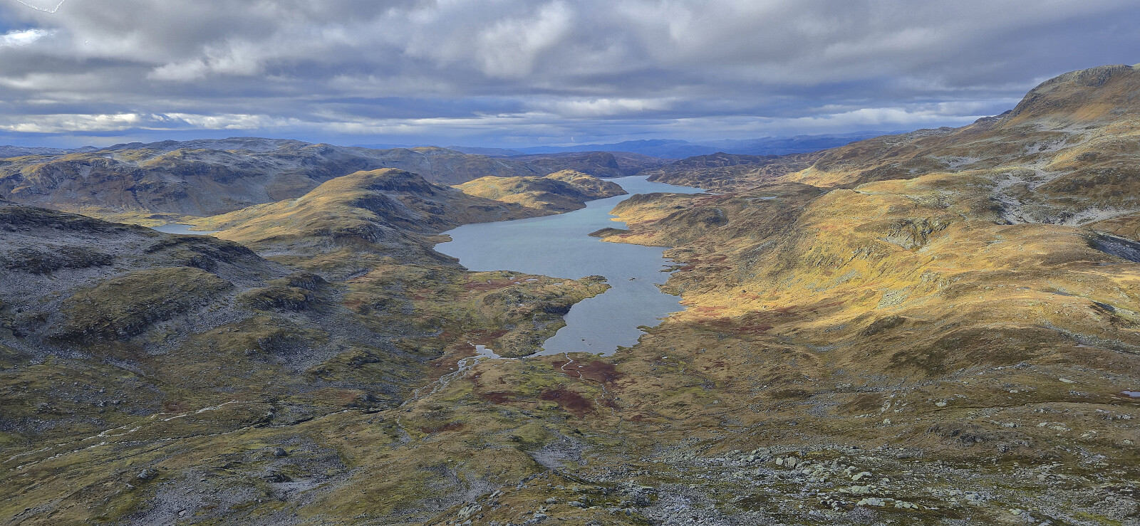
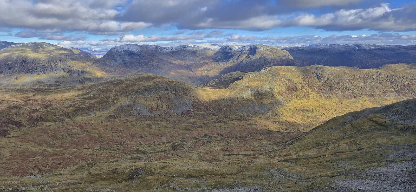
In conclusion, this roundtrip can be very highly recommended. It provides excellent views along the way and even though it is largely off-trail, the open terrain makes for easy navigation. Takk for turen, Endre!


Viksetnipa (left) and Uraskarfjellet (center) from the descent from Solheimsfjellet
Looking back at Solheimsfjellet from the ascent to Viksetnipa
Approaching the cairn at Viksetnipa
Viksetnipa with Uraskarfjellet in the background (right)
Uraskarfjellet from Viksetnipa
On our way to Uraskarfjellet
A large herd of reindeer south of Ytredalsvatnet (zoomed in)
Approaching the summit of Uraskarfjellet
Endre at the summit of Uraskarfjellet
Descending to Uraskaret with Fyresnipa in the background
Vest for Fyresnipa from the descent to Uraskaret
Uraskaret with Blåfjellet in the background
Approaching Vest for Fyresnipa
Endre at Vest for Fyresnipa with Fyresnipa in the background
North/northwest from Vest for Fyresnipa
Looking back at Uraskarfjellet from Vest for Fyresnipa
Fyresnipa from Vest for Fyresnipa
The first part of my ascent to Fyresnipa
Looking back at Vest for Fyresnipa from the ascent to Fyresnipa
The steepest part of my ascent along the ridge to Fyresnipa
Muravatnet from the ascent to Fyresnipa
Breidalsbotnen from the ascent to Fyresnipa with Kjøroldnuten to the left
Approaching the summit of Fyresnipa
Looking back at Blåfjellet from the ascent to Fyresnipa
Berdalen and Fresvikjordalen from Fyresnipa
Berdalsnipa with Nosafjellet and Nosi in the background
Approaching the summit of Fyresnipa
The summit of Fyresnipa
Descending south from Fyresnipa
Descending from Fyresnipa
Øyastølsfjellet and Vetlafjellet from the descent to Tverraldskaret
Vikabotn
Vikabotn
The trail to Tverraldskaret
Returning to Tverraldskaret with Vetlafjellet in the background

Start date 05.10.2025 09:46
(UTC+01:00 DST)
End date 05.10.2025 17:31
(UTC+01:00 DST)
Total Time 7h 45min
Moving Time 6h 52min
Stopped Time 0h 52min
Overall Average 2.9km/h
Moving Average 3.3km/h
Distance 22.8km
Vertical meters 1,524m

User comments

Comment title:
Characters left: 1000
Comment text:
You need to be logged in to write comments.