
Vetlafjellet via Stalheim (13.09.2025)

Skrevet av hbar (Harald Barsnes)

| Startsted | Stalheimvegen v/E16 (305moh) |
|---|---|
| Sluttsted | Stalheimvegen v/E16 (305moh) |
| Turtype | Fjelltur |
| Turlengde | 6t 00min |
| Distanse | 25,8km |
| Høydemeter | 1077m |
| GPS |
|
| Bestigninger | Vetlafjellet (1290moh) | 13.09.2025 14:13 |
|---|---|---|
| Andre besøkte PBE'er | Brekkedalsvegen (437moh) | 13.09.2025 11:27 |
Vetlafjellet via Stalheim
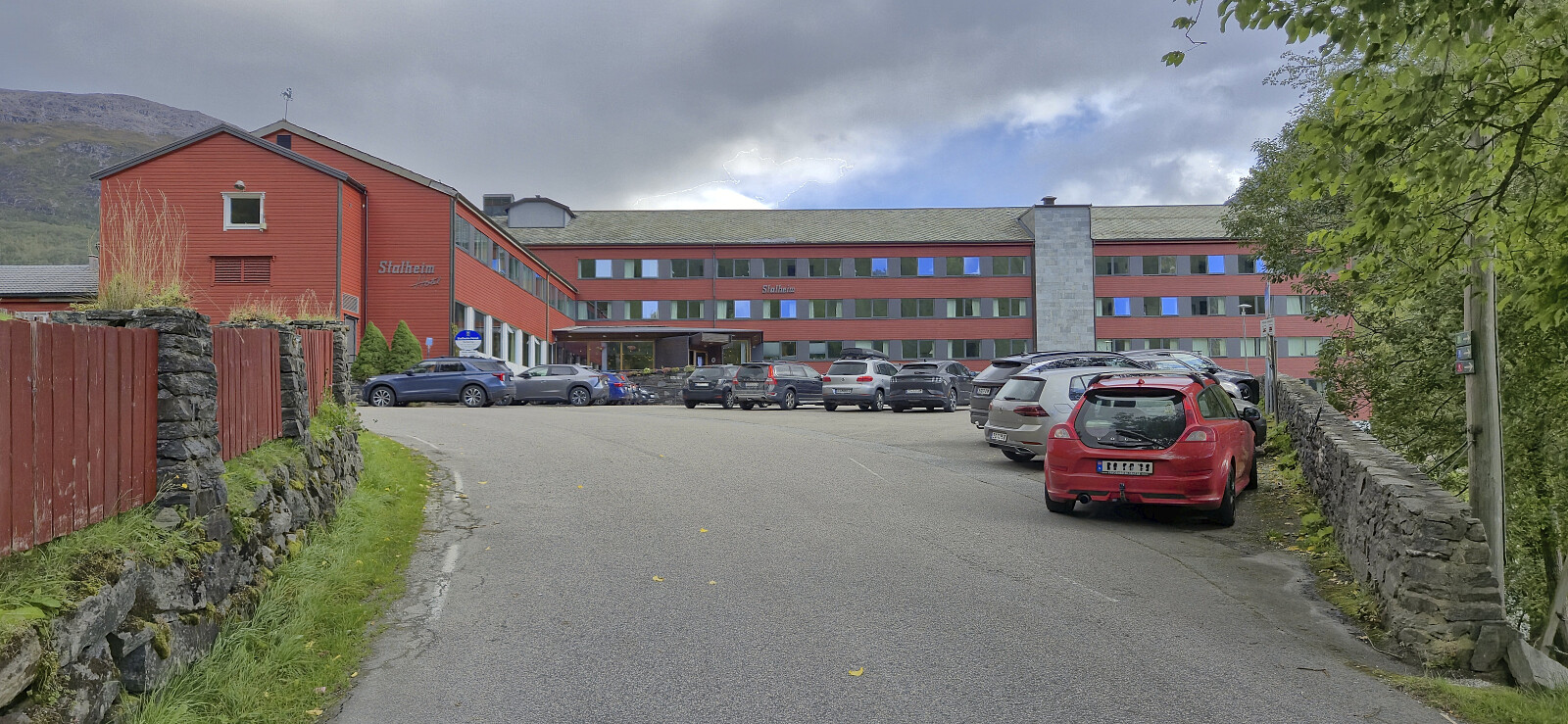
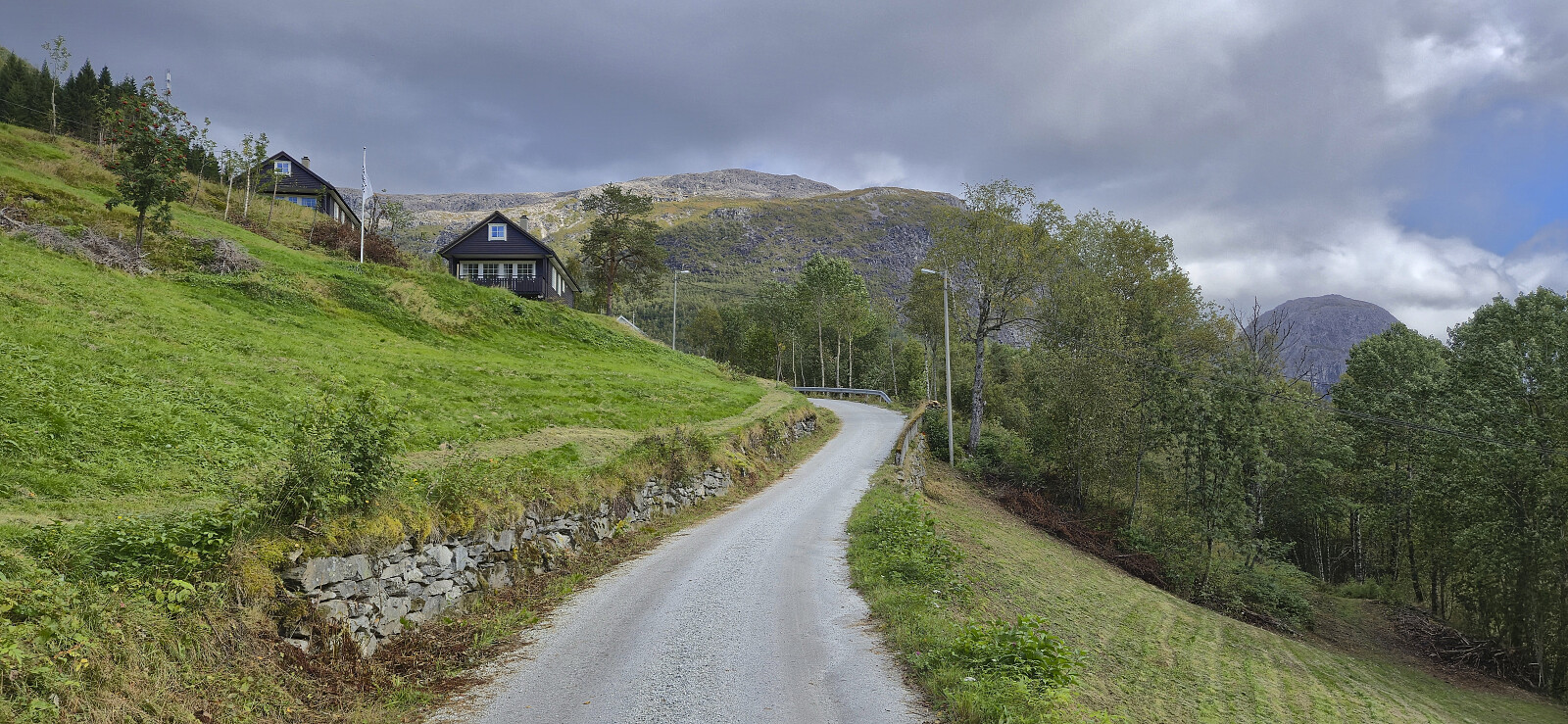
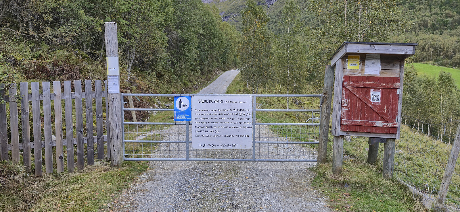
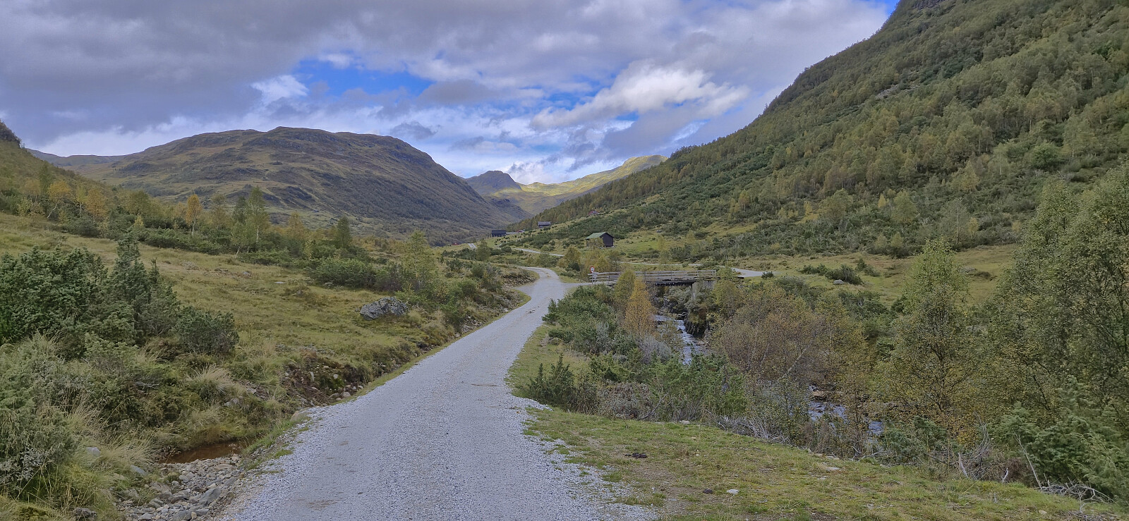
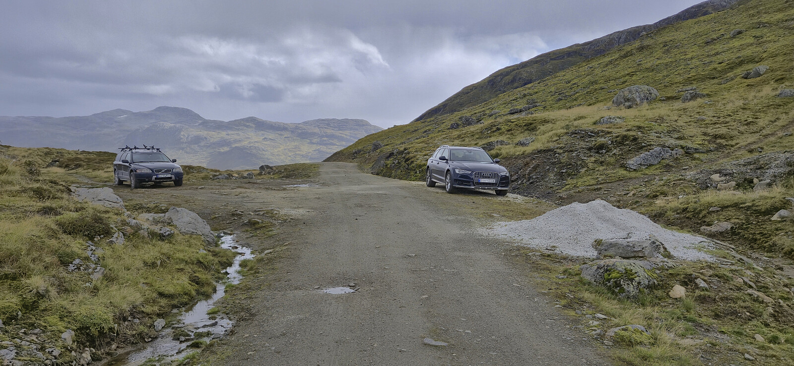
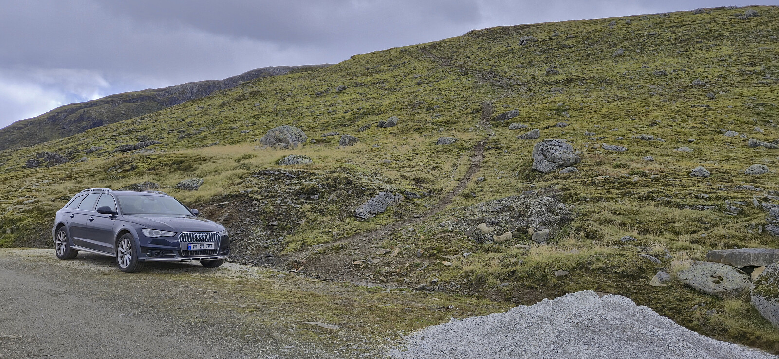
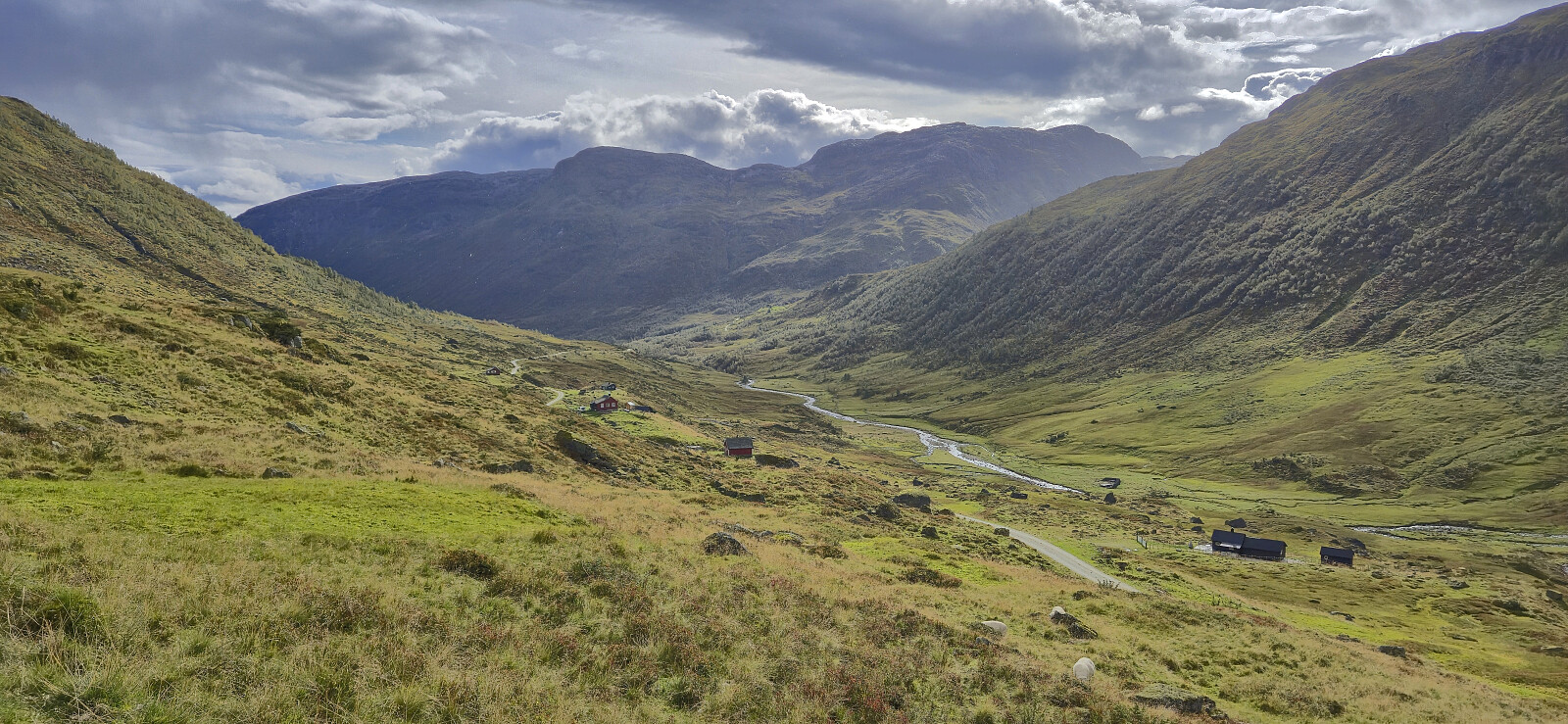
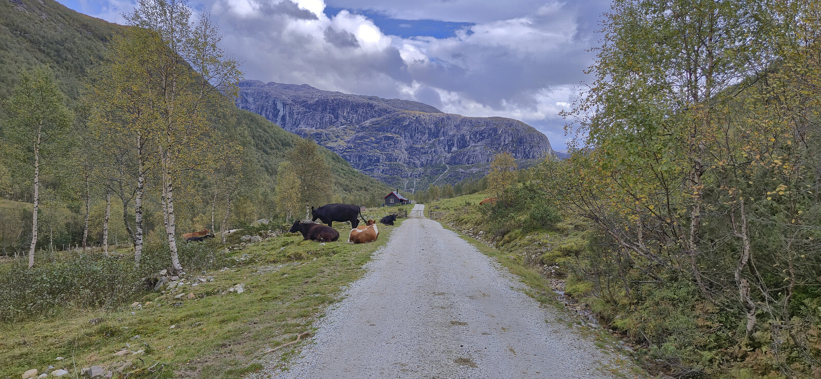
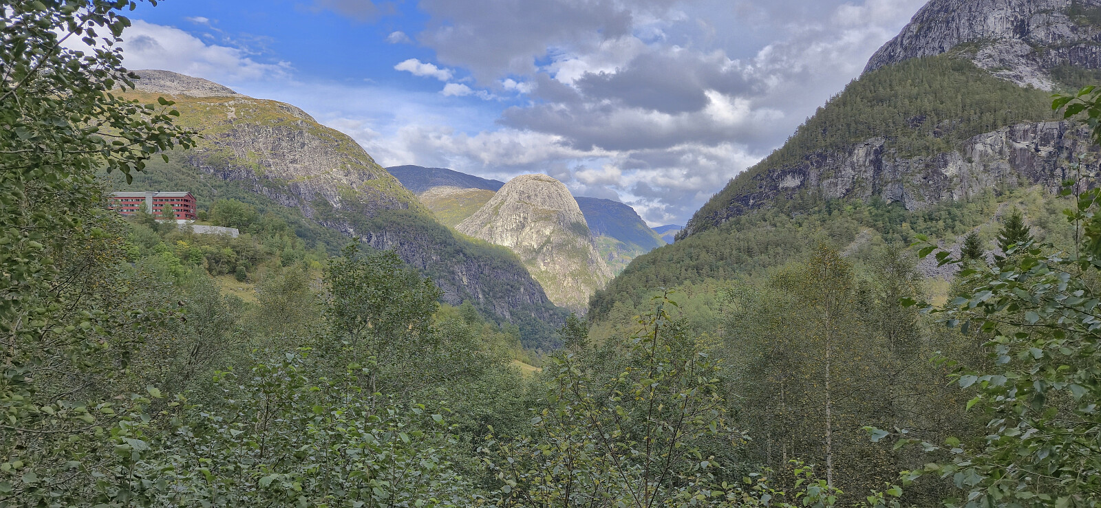
After taking the train to Voss I continued by bus to Stalheim. Usually, the bus stops outside Stalheim Hotel but due to an event filling up the large parking lot outside the hotel, which the buses need to be able to return to the main road, I had to get off at the start of Stalheimsvegen instead. This did not make much of a difference though and I quickly covered the extra distance along the paved road before starting on the gravel road up Brekkedalen. (Note that if coming by car there is a 100 kr toll that can be paid by Vipps.)
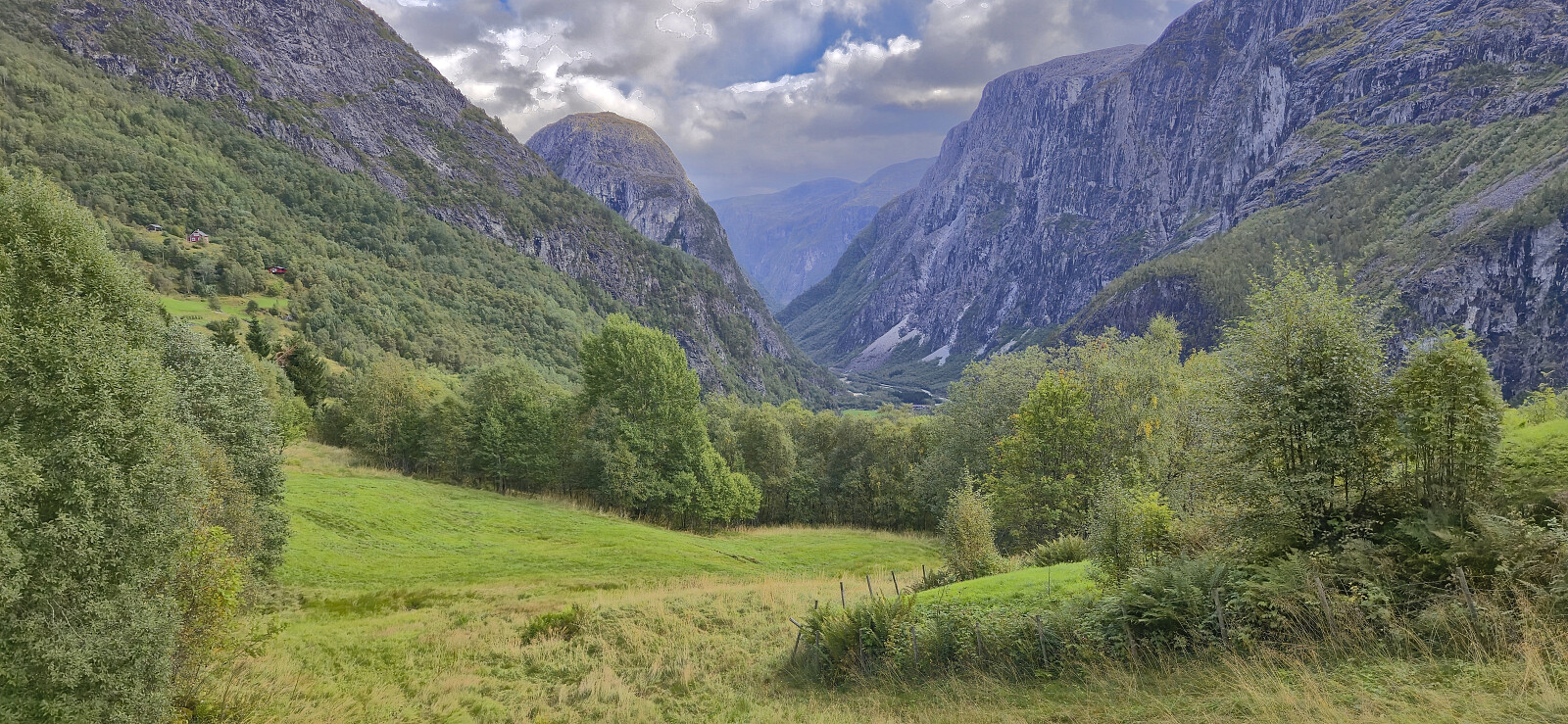
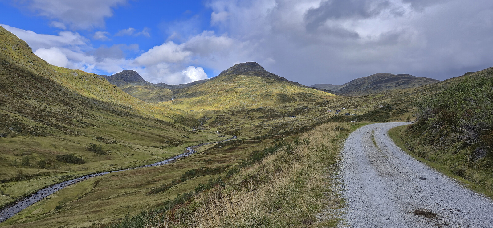
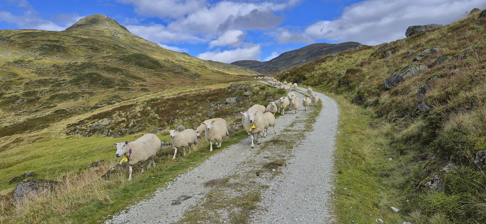
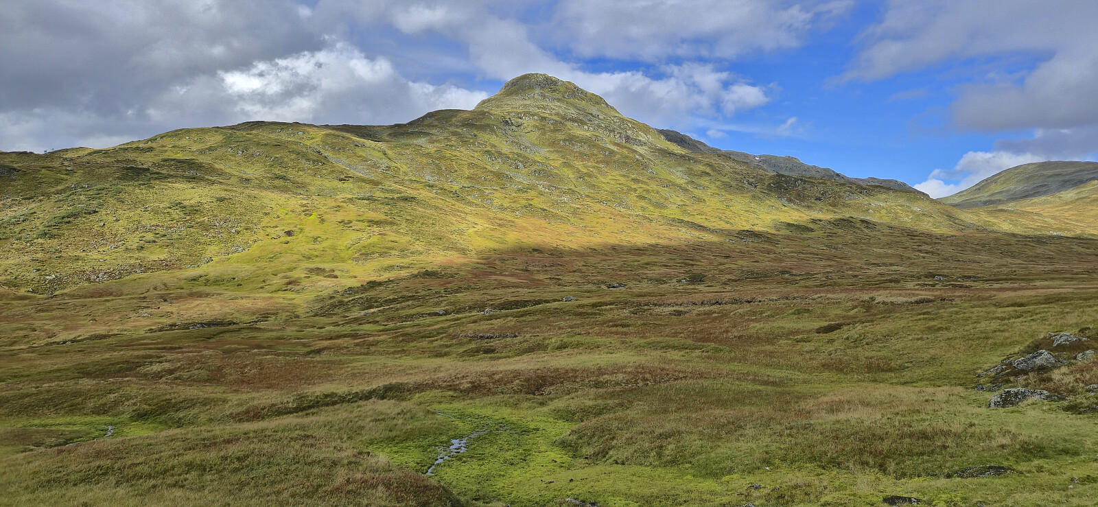
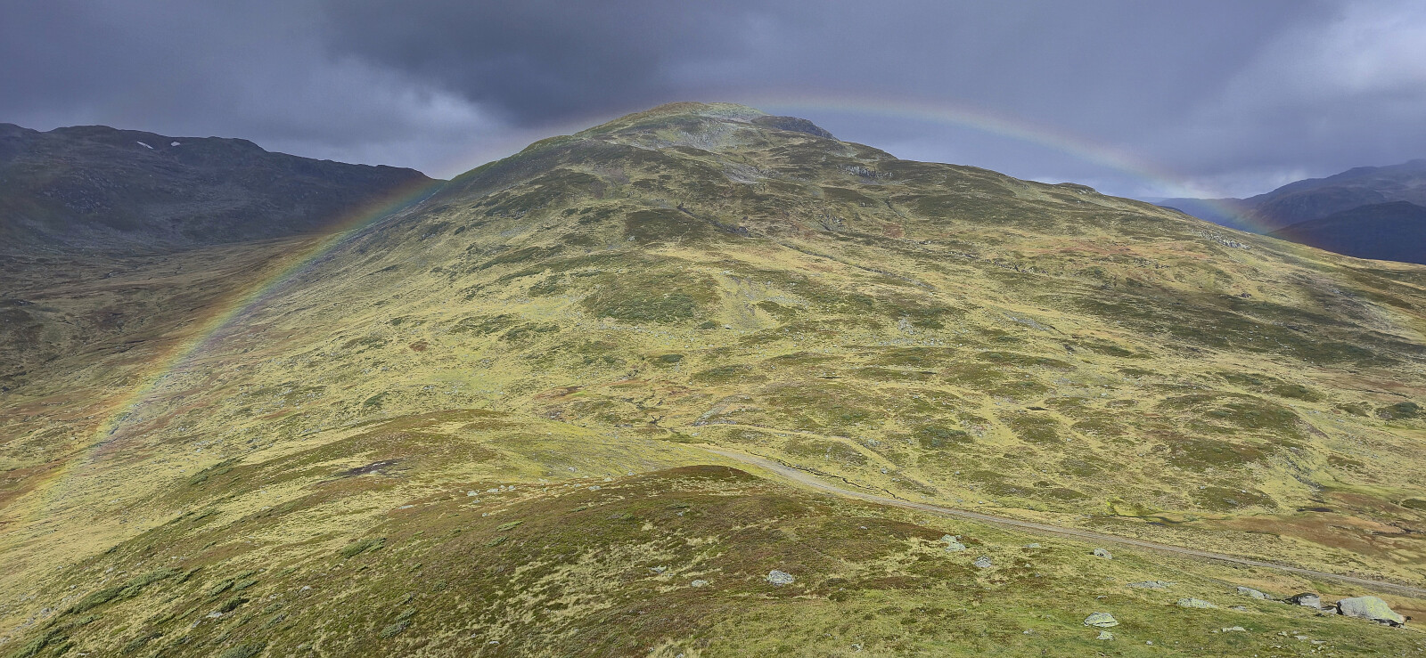
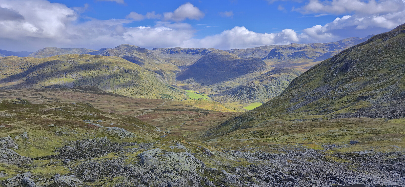
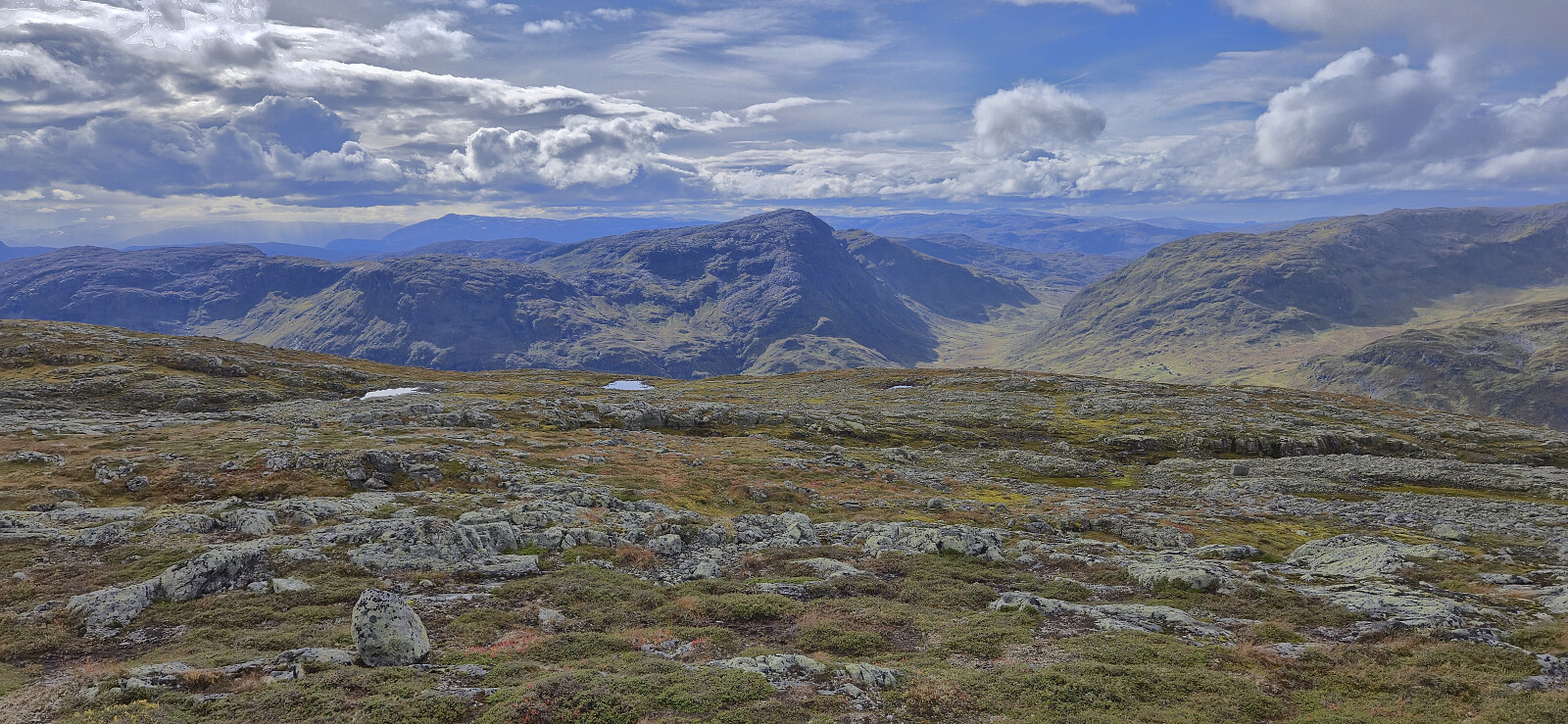
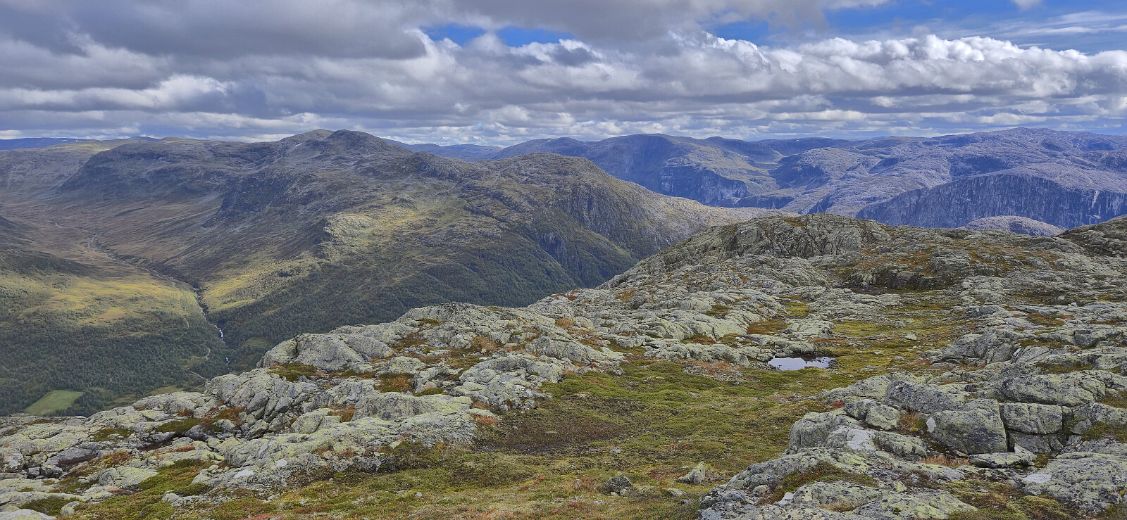
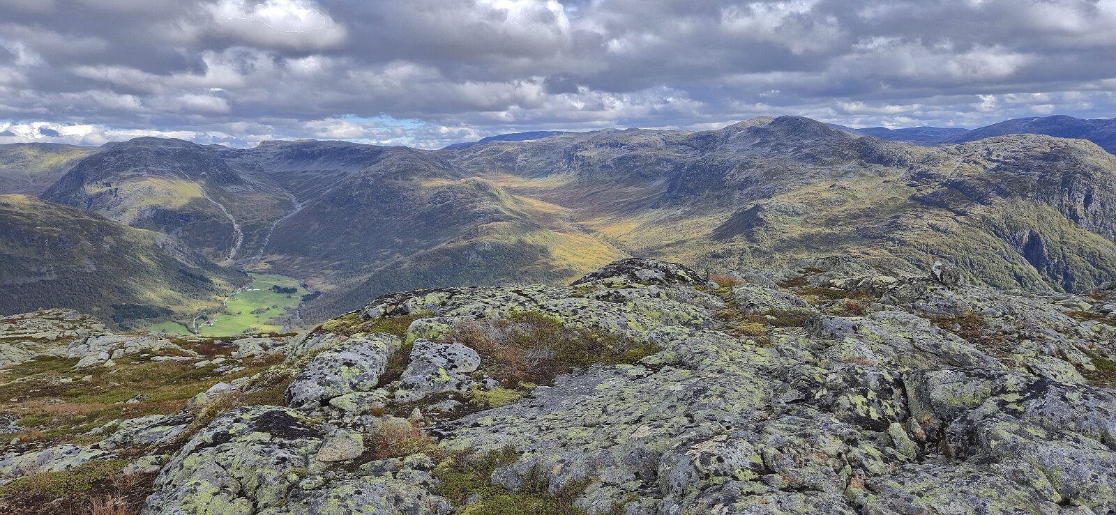
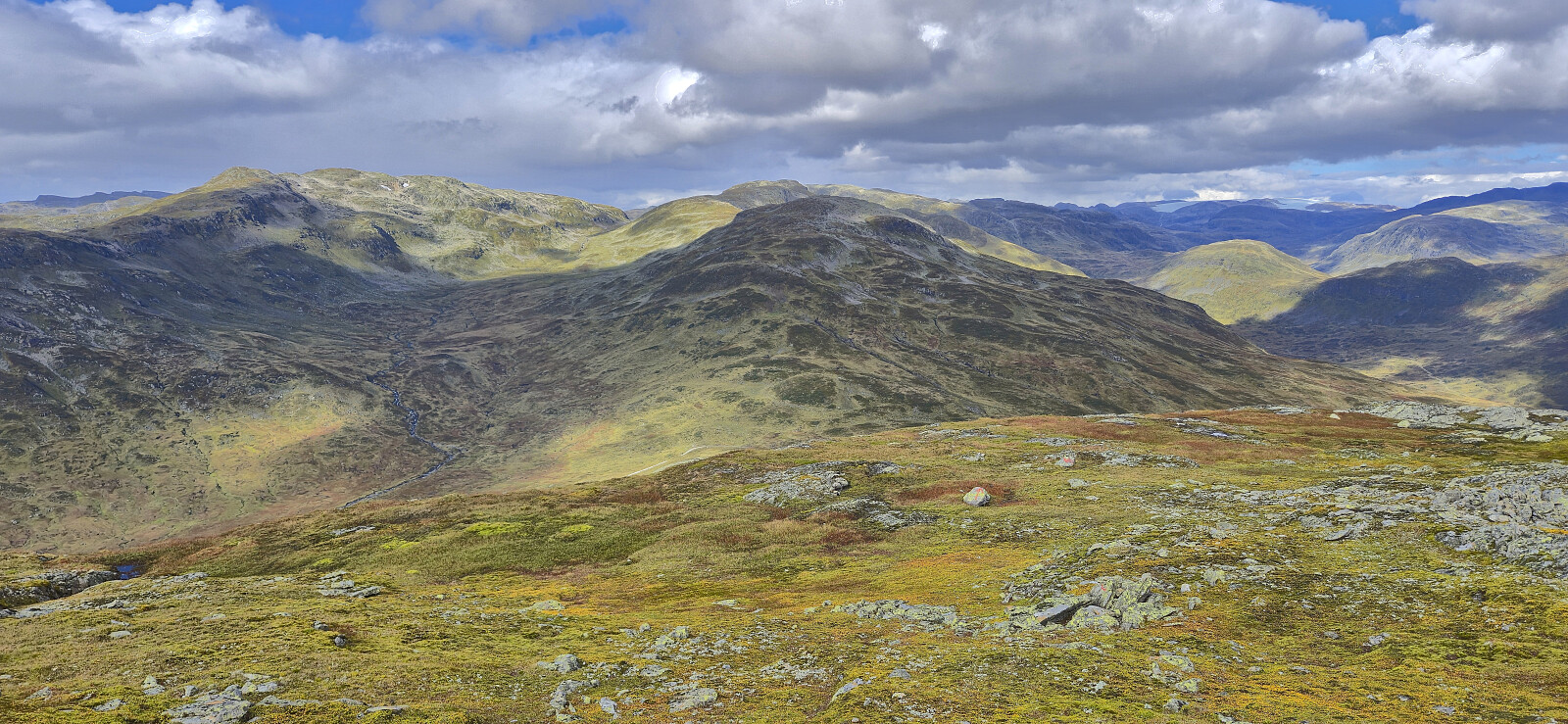
The long walk up to Tverraldskaret was less boring than expected, largely thanks to the excellent views along the way, and while I did not meet any other hikers there were lots of sheep and cows around, in addition to farmers in the process of gathering their sheep before the winter. Sadly the weather was not on my side. Lots of light rain showers but with the occasional short gap where the sun would peek out between the clouds, resulting in a couple of nice rainbows.
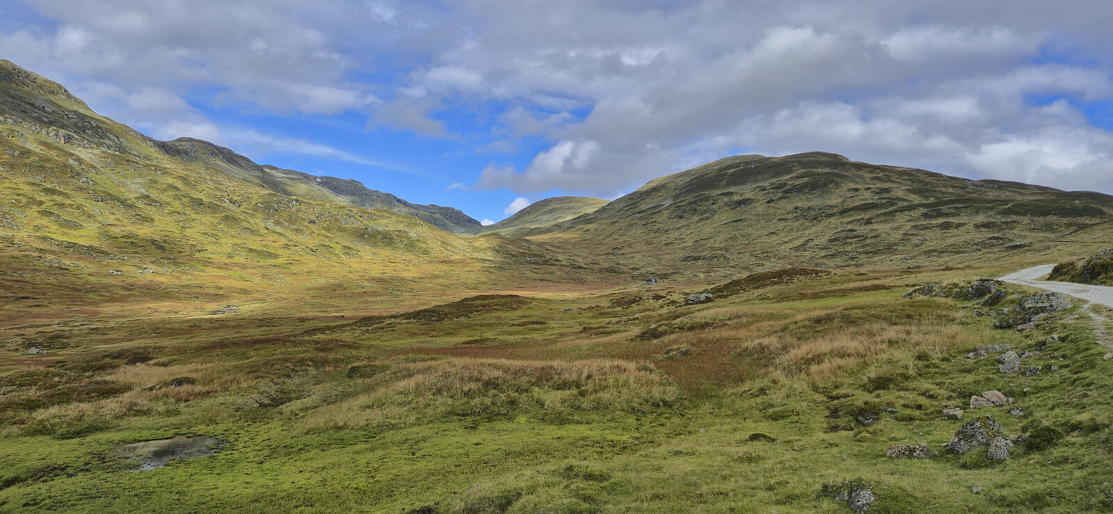
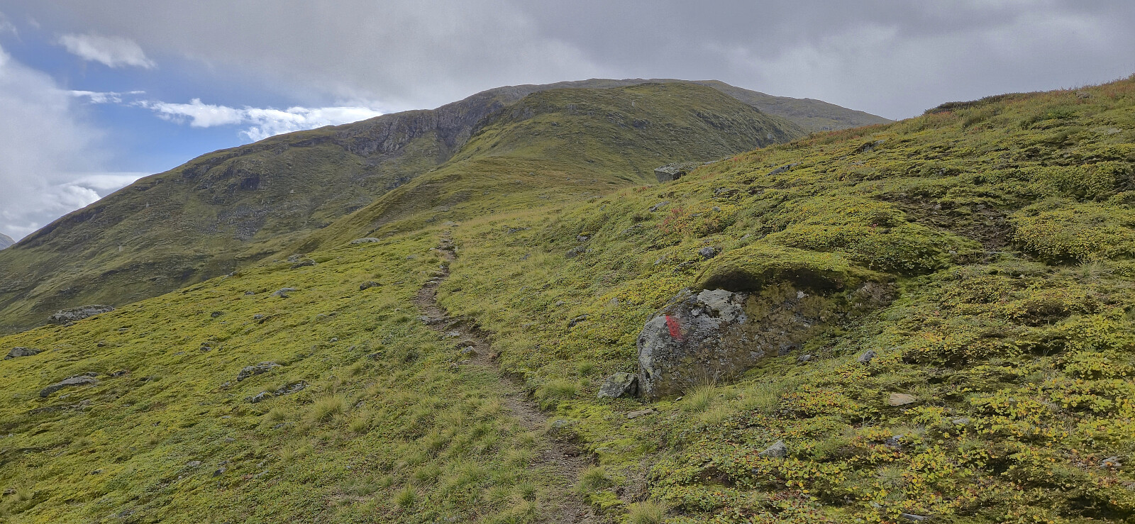
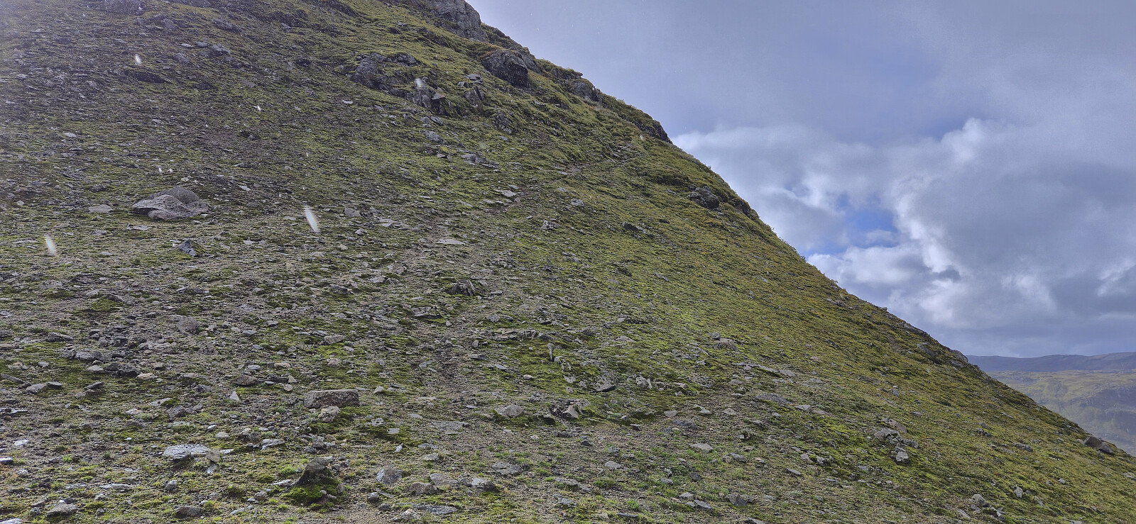
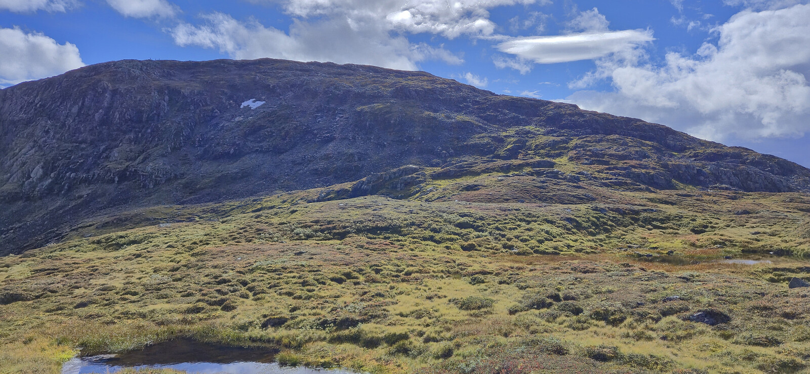
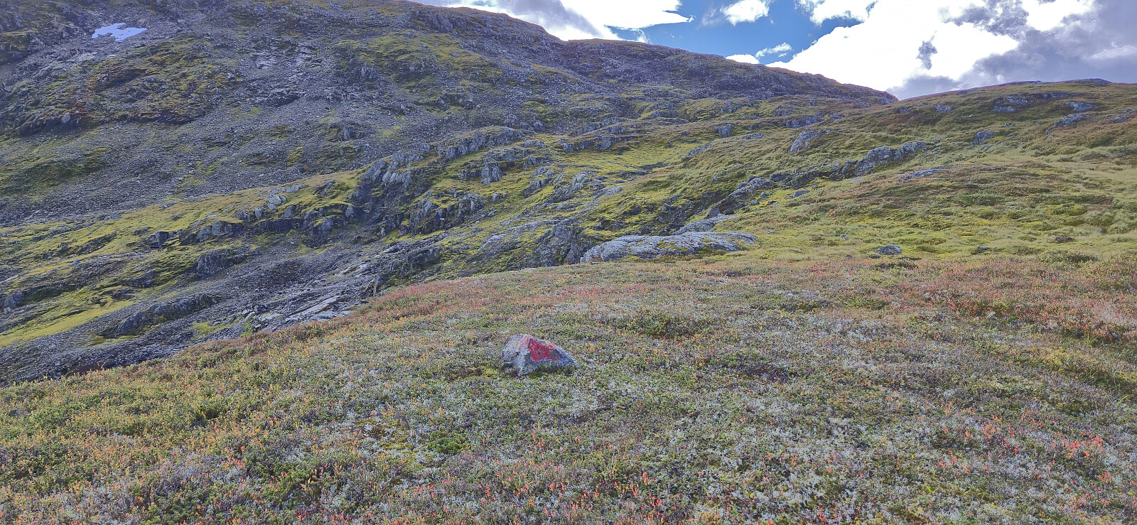
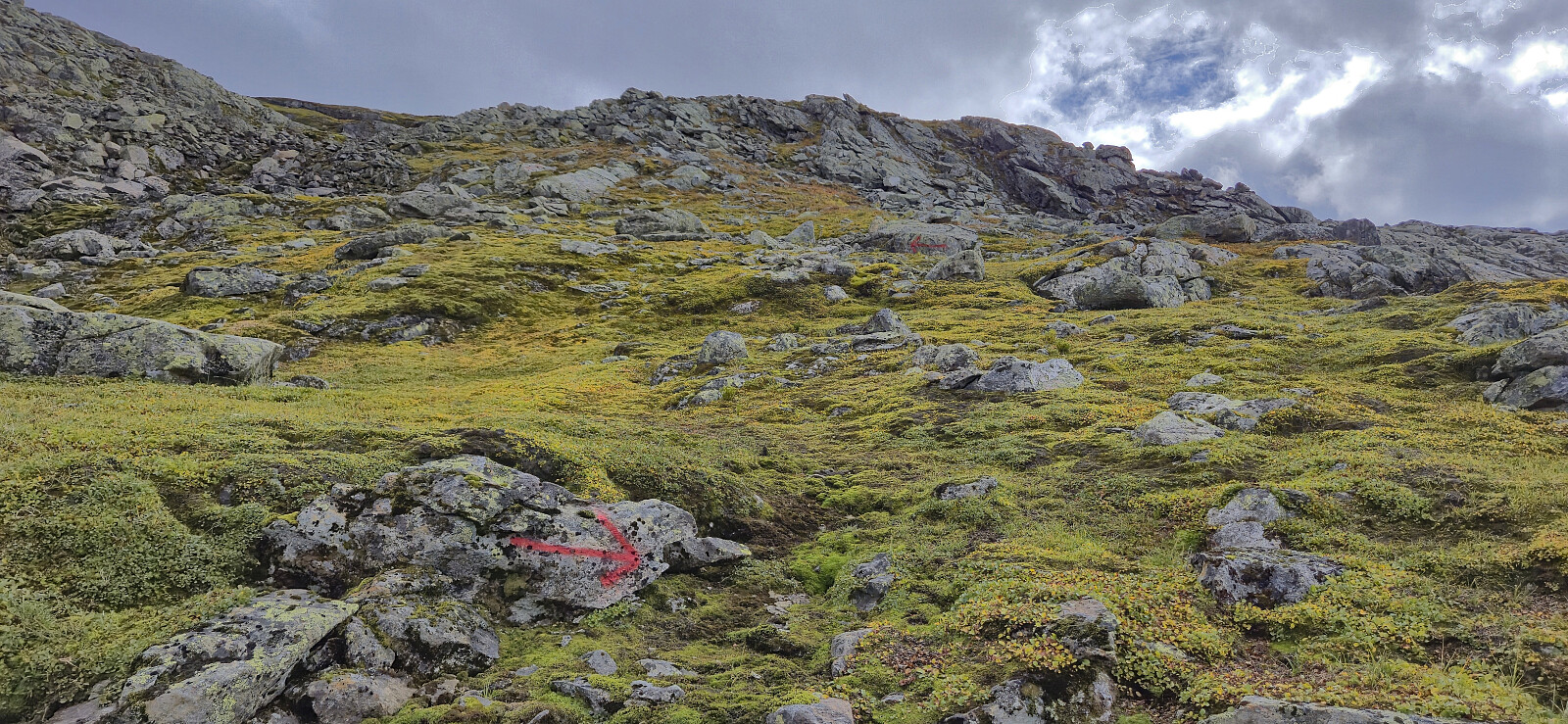
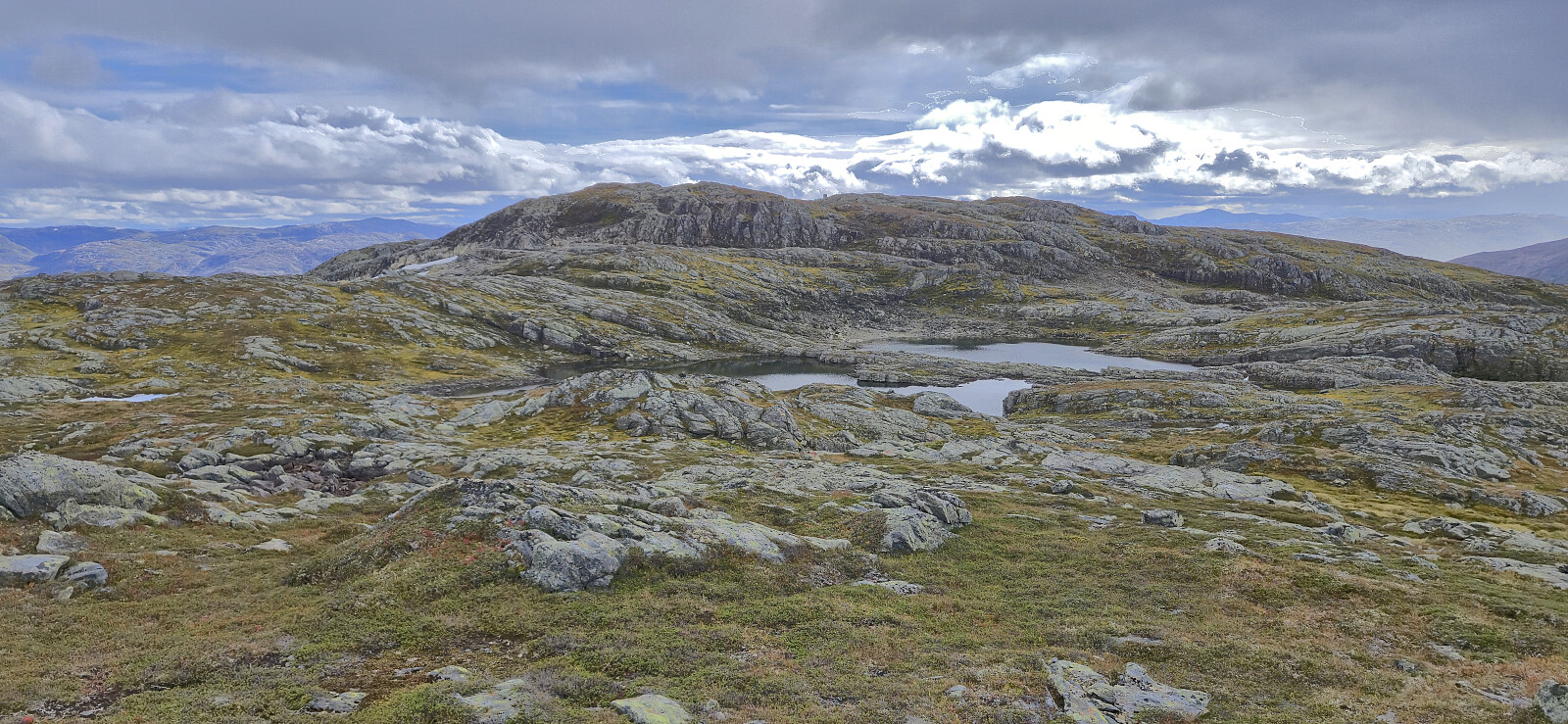
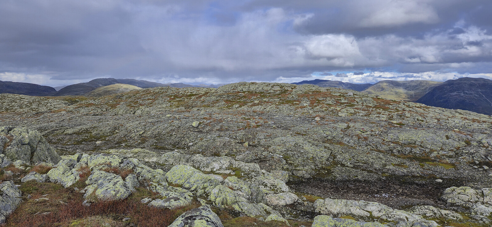
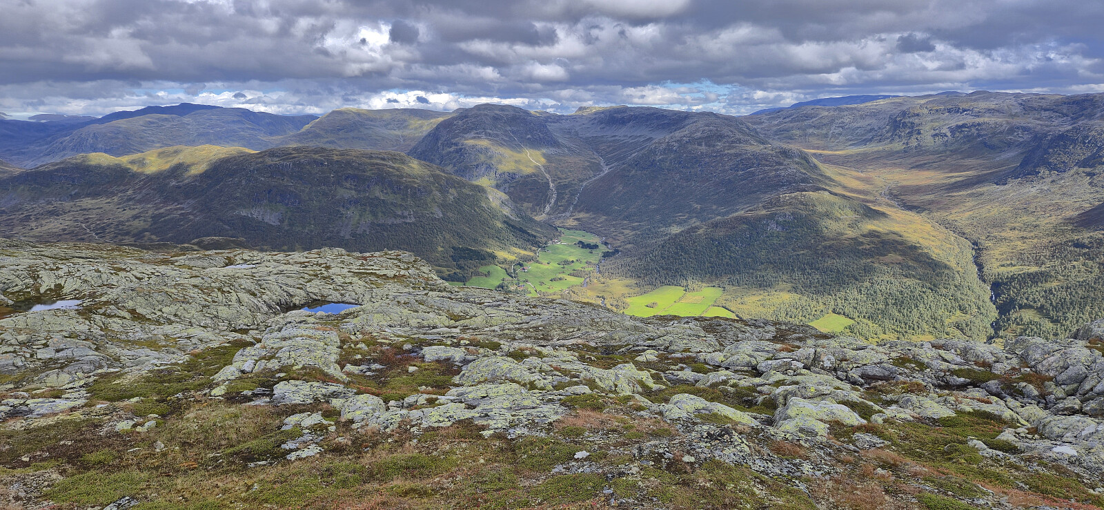
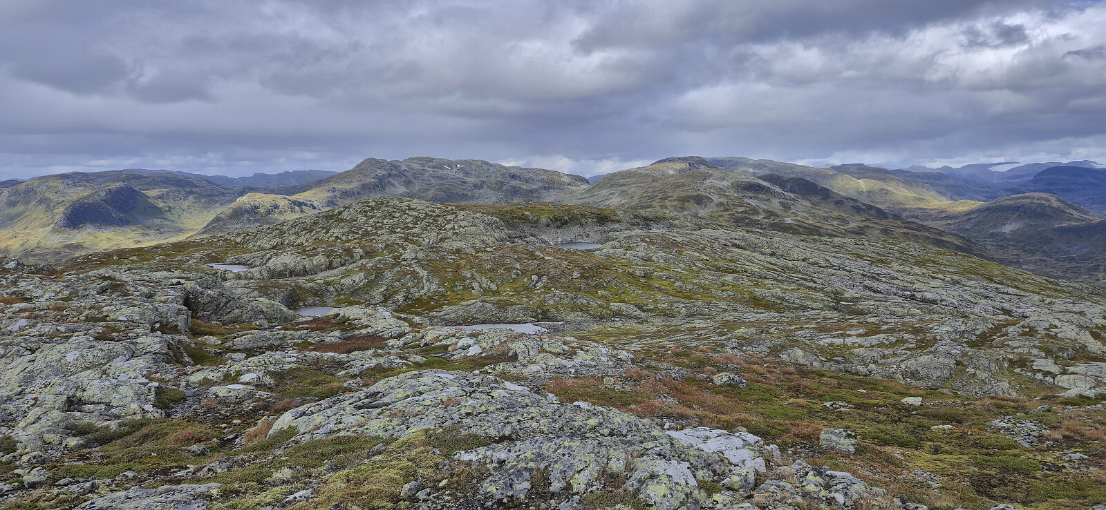
From Tverraldskaret I followed a trail that quickly turned rather weak but thankfully there were lots of (and at times too many) red trail markers that could be followed. I still managed to lose the trail/markers a couple of times but given that the direction was pretty obvious I always quickly reconnected with it. There were two short but easy steeper sections that had to be traversed before getting to the false summit northwest of the real one. This was followed by a short descent to two small lakes before the final ascent.
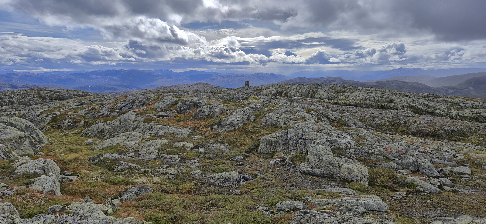
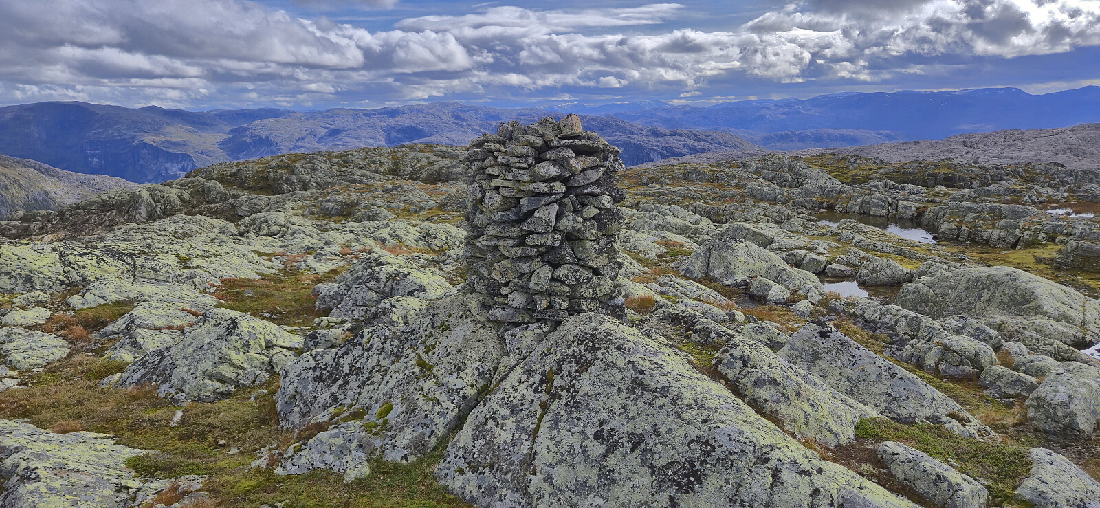
Vetlafjellet had a large cairn, however it was clearly not at the highest point, which is around 120 meters north/northeast of the cairn. Here there are several nearby points of almost the same height, with the northeastern one seemingly being the highest. To be on the safe side I simply visited all of them before making the short detour to the cairn.
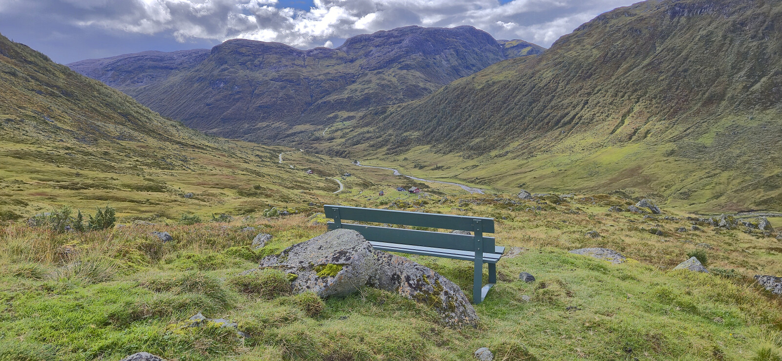
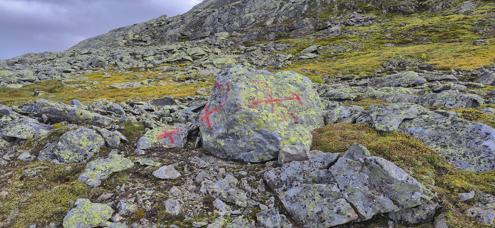
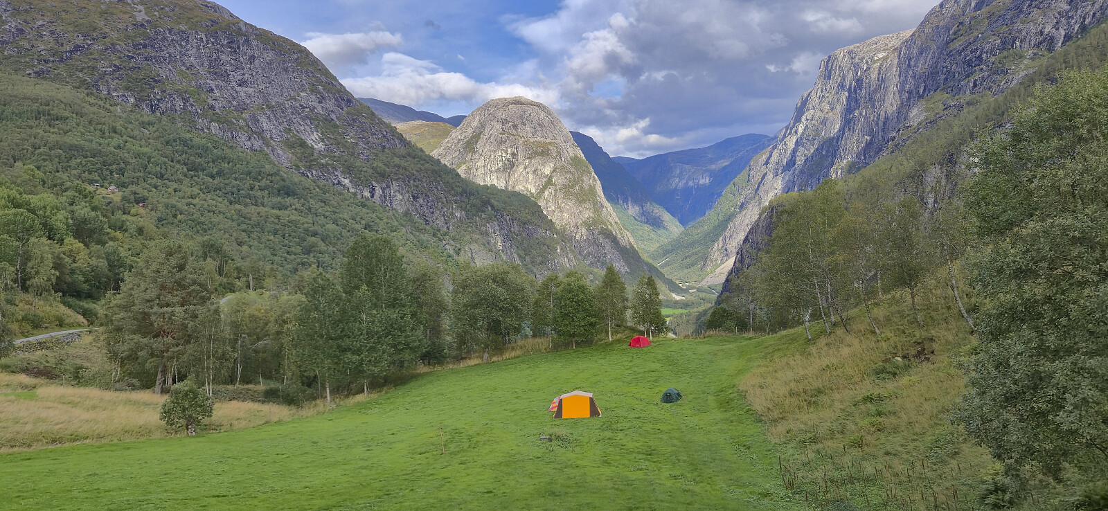
Due to a cold wind and more rain clouds in the distance, I did not stay long before returning the same way, although being slightly more successful in following the red trail markers. The hike was then concluded by returning via Brekkedalen and Stalheim to the main road, from where I took the bus home to Bergen.
In summary, a hike to Vetlafjellet via Stalheim can be highly recommended and is a nice way of extending an otherwise rather short hike. Another option is of course to drive up Brekkedalen instead and maybe combine Vetlafjellet with some of the peaks north of Tverraldskaret.

| Starttidspunkt | 13.09.2025 10:59 (UTC+01:00 ST) |
| Sluttidspunkt | 13.09.2025 17:00 (UTC+01:00 ST) |
| Totaltid | 6t 00min |
| Bevegelsestid | 5t 44min |
| Pausetid | 0t 16min |
| Snittfart totalt | 4,3km/t |
| Snittfart bevegelsestid | 4,5km/t |
| Distanse | 25,8km |
| Høydemeter | 1077m |


Kommentarer