
Gjetingsdalen to Årvik via Grønhaug and Storahorga (30.08.2025)

Written by hbar (Harald Barsnes)

| Start point | Norddalen p-plass (428m) |
|---|---|
| Endpoint | Årvik kraftverk (5m) |
| Characteristic | Hillwalk |
| Duration | 7h 32min |
| Distance | 16.2km |
| Vertical meters | 1,091m |
| GPS |
|
| Ascents | Grønhaug (1,189m) | 30.08.2025 13:07 |
|---|---|---|
| Storahorga (998m) | 30.08.2025 15:19 | |
| Visits of other PBEs | Norddalen bomveg (246m) | 30.08.2025 09:43 |
| Norddalen p-plass (428m) | 30.08.2025 10:00 | |
| Norddalen (531m) | 30.08.2025 10:49 |
Gjetingsdalen to Årvik via Grønhaug and Storahorga
Warning: The trail this hike seemingly follows down to Årvik does not exist! Instead there is a steep off-trail descent. Read the report carefully.
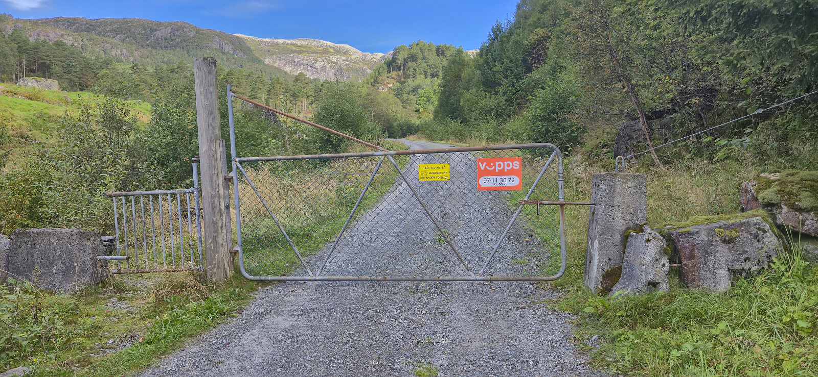
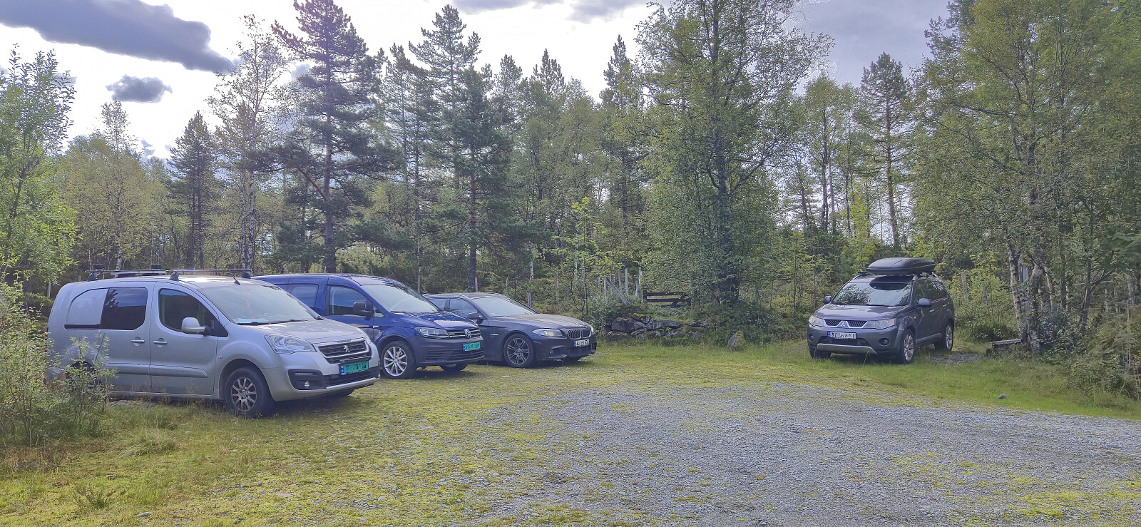
Petter picked up me and Kjell in Ytre Sandviken shortly after seven on a Saturday morning for a joint drive to Tørvikbygd and the ferry to Jondal. From Jondal we drove the short distance south to Gjetingsdalen, paid the 60 kr toll fee and continued up to the small parking lot at the end of the gravel road.
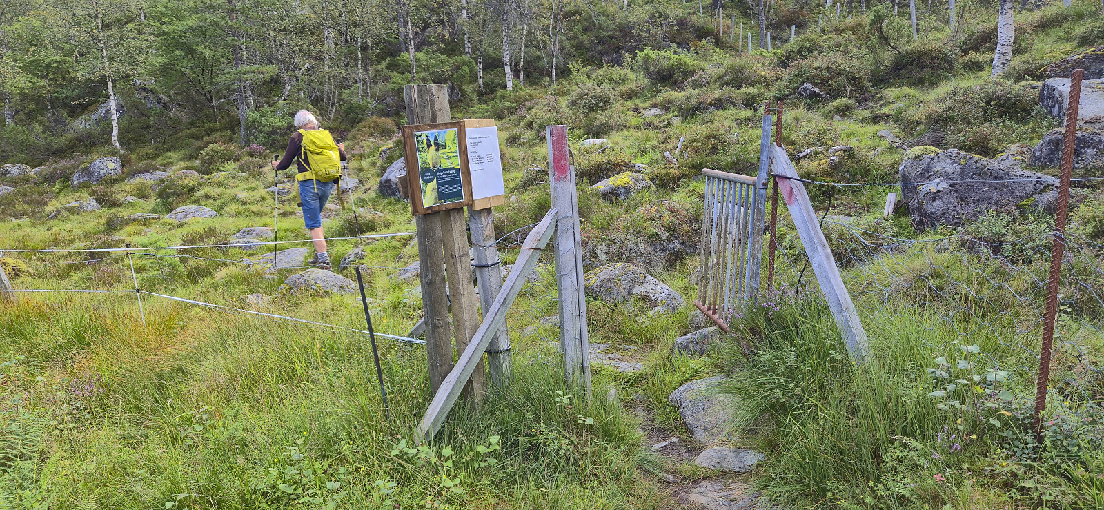
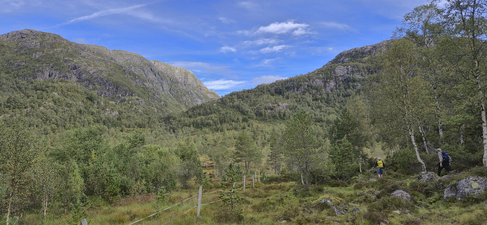
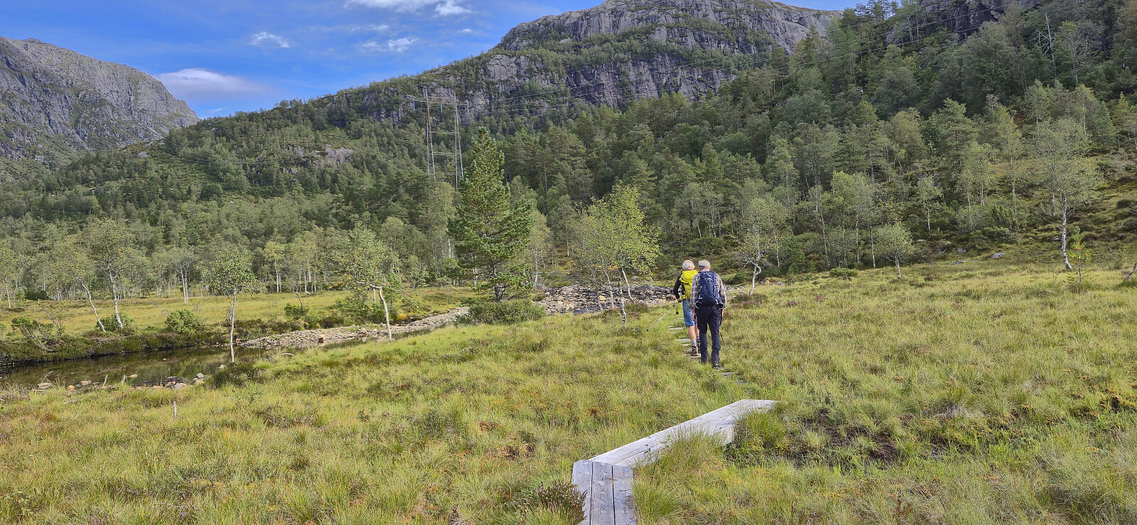
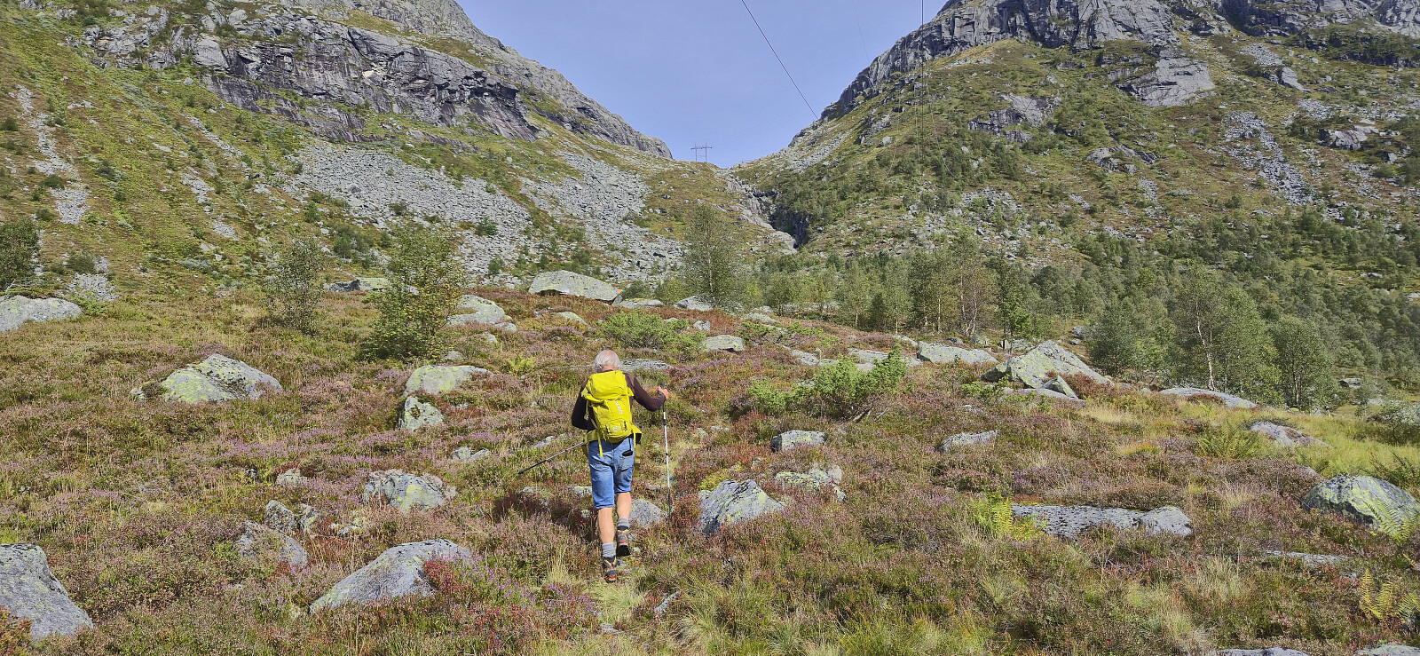
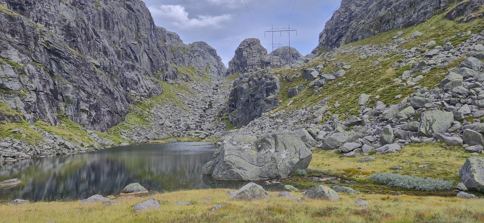
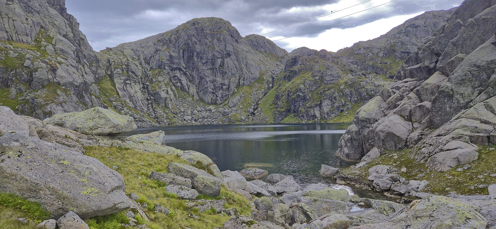
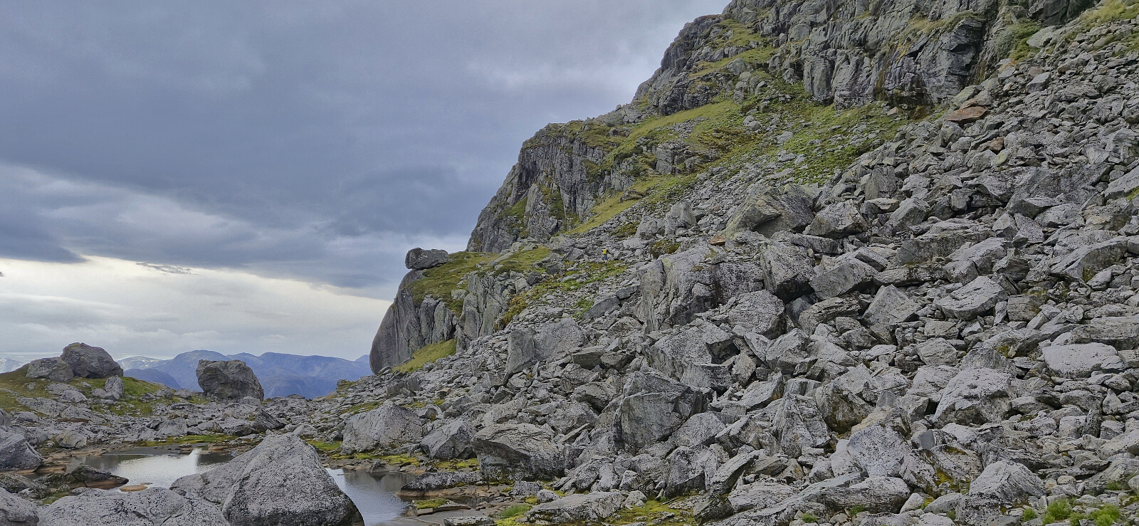
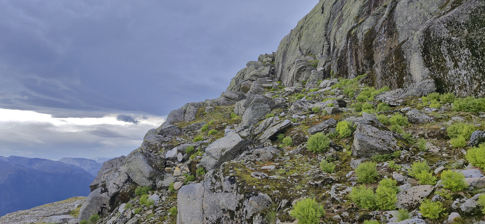
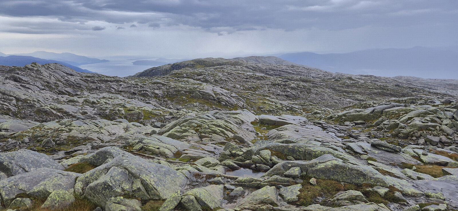
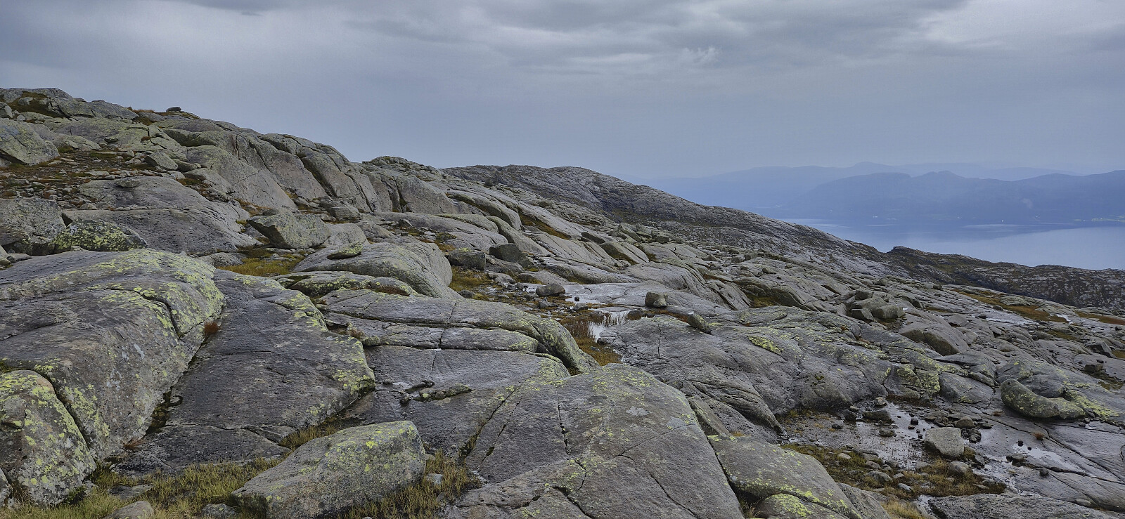
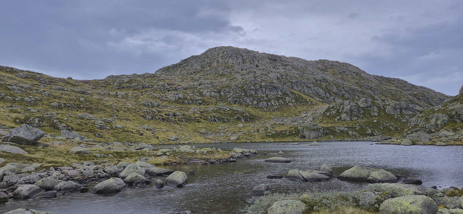
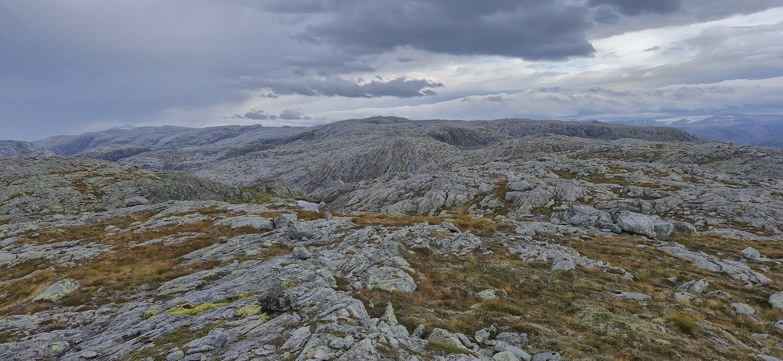
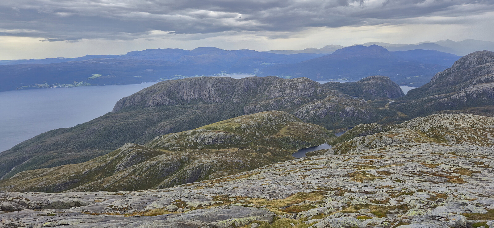
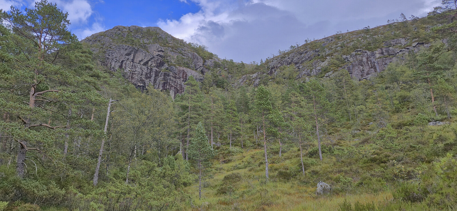
We started by following a trail to Norddalen and from there continued on a much weaker trail, although marked by orange paint, up towards Isdalsvatnet. The trail markers were overall easy to follow however the trail itself was very weak at best. Shortly after passing the small lake south of Isdalsvatnet we in any case had to abandon the markers as they turned southeast and presumably headed for Storeknotten. We instead continued off-trail to Isdalsvatnet on the western side of Isdalstårnet.
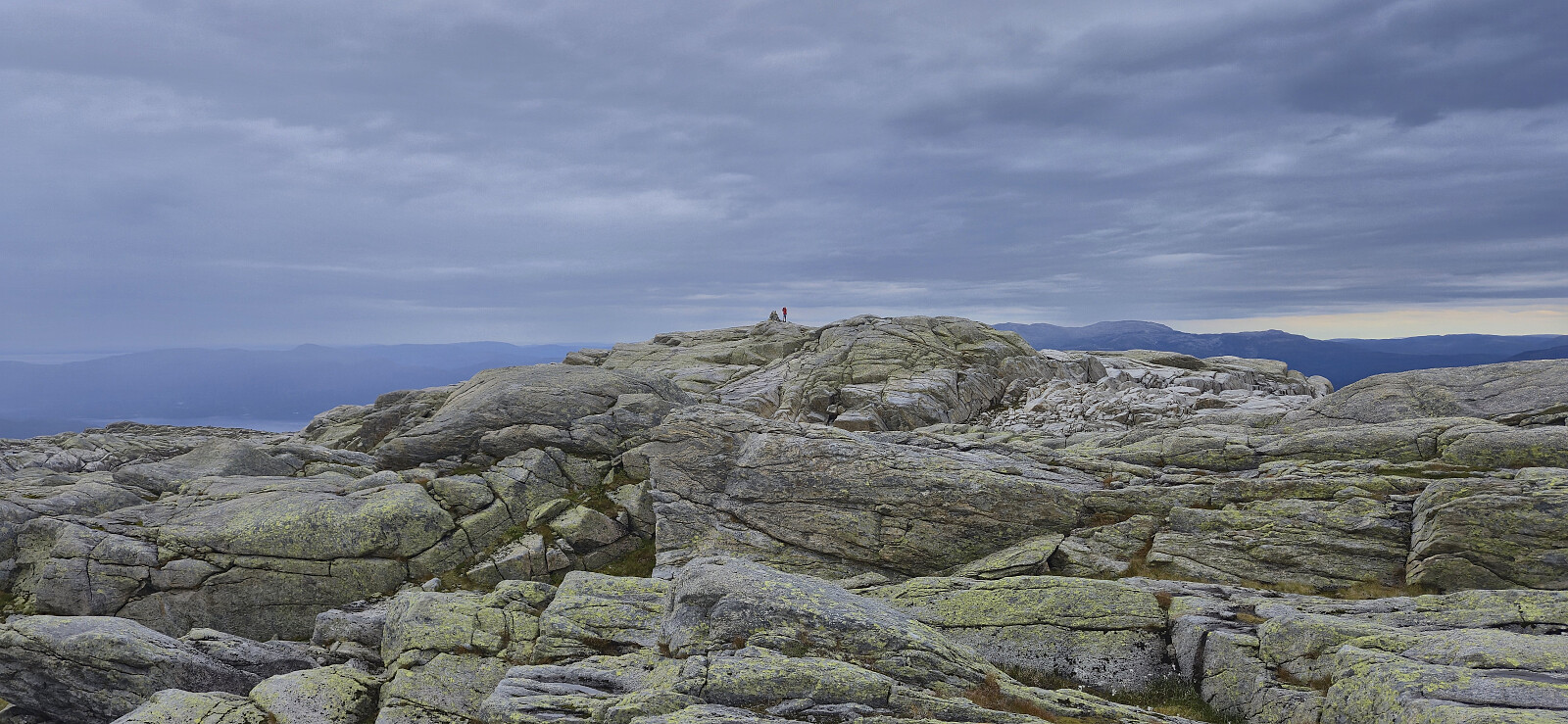
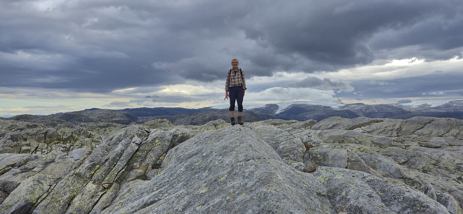
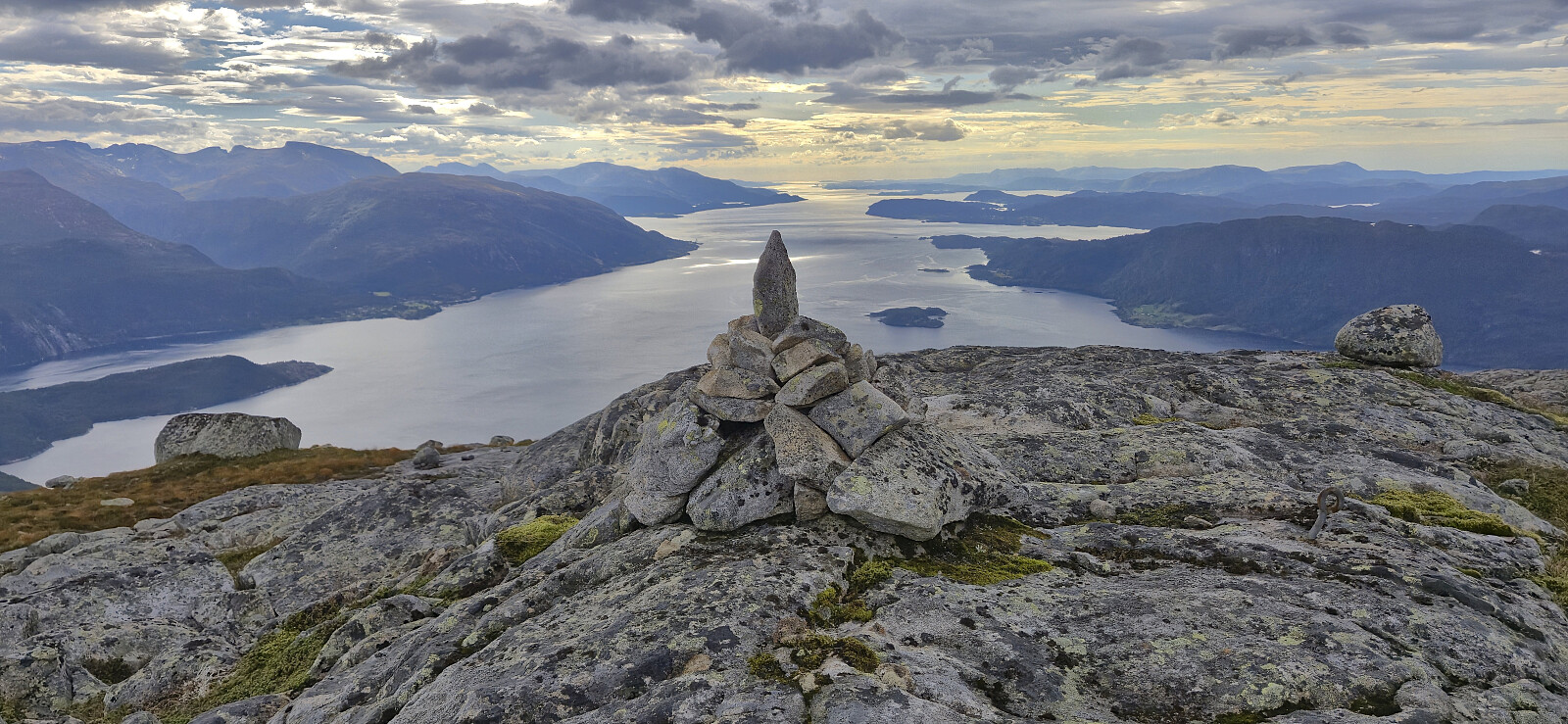
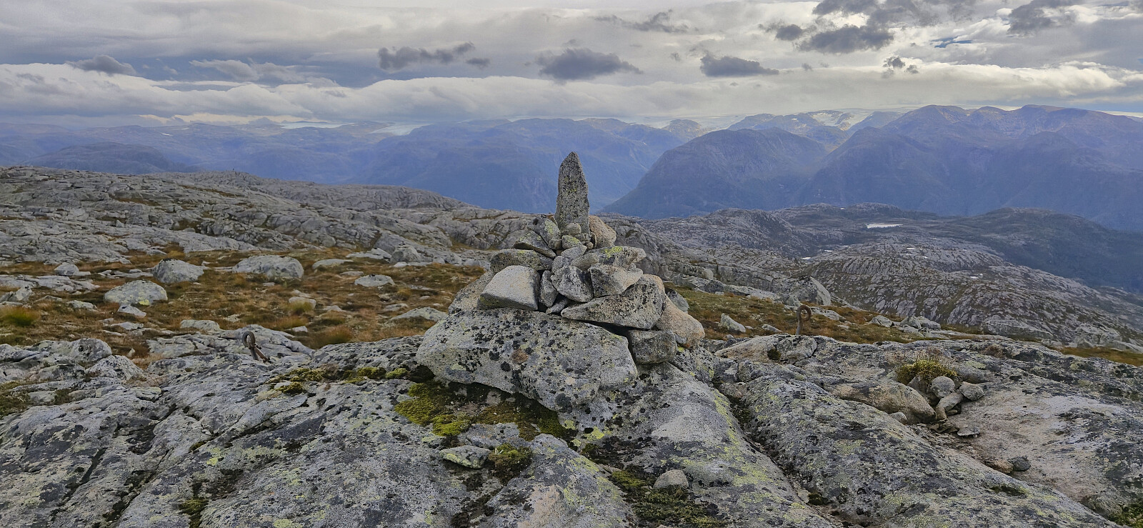
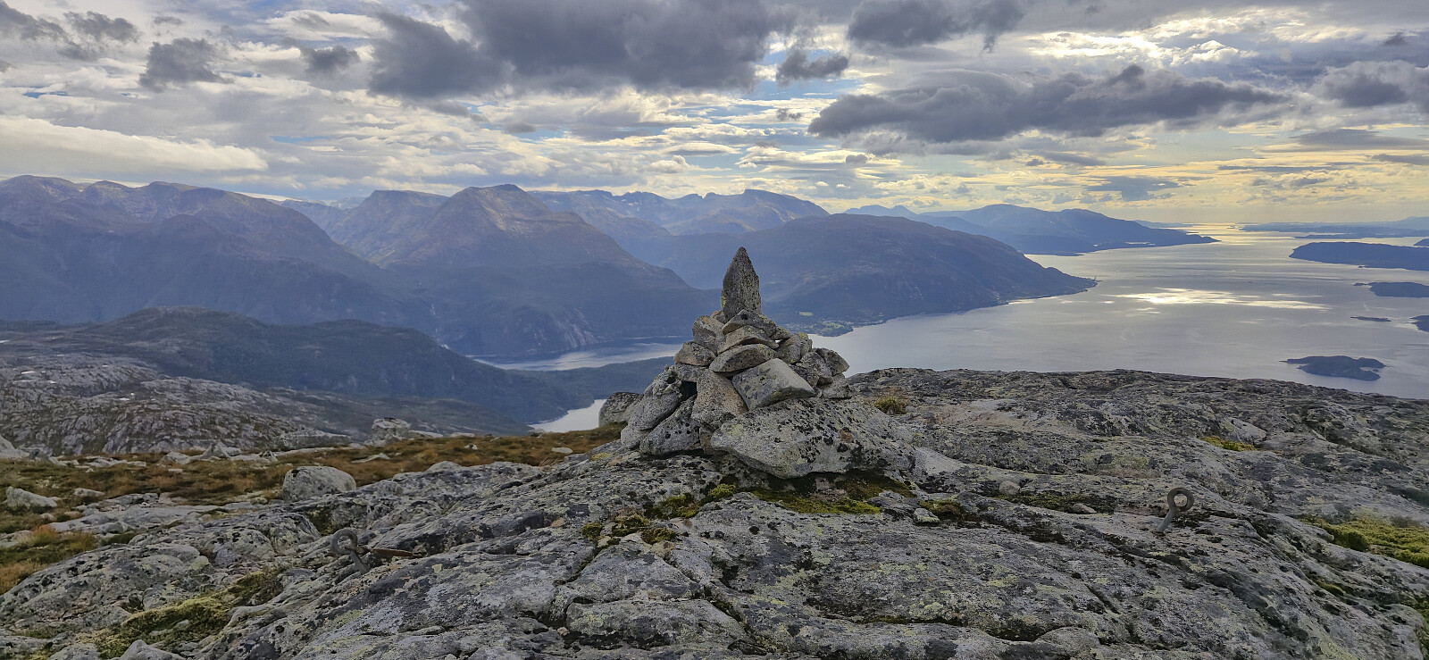
At Isdalsvatnet we turned southwest and followed various ledges towards the summit. Petter took a steeper and more direct route, while Kjell and I continued southwest until south of the summit and then turned north. Both got us to the summit without any real challenges. We all met up at the summit and after visiting both the cairn and the slightly higher point east of it, we split up with Kjell heading back to the car in Gjetingsdalen while Petter and I headed west to Storahorga, a peak Kjell had already visited.
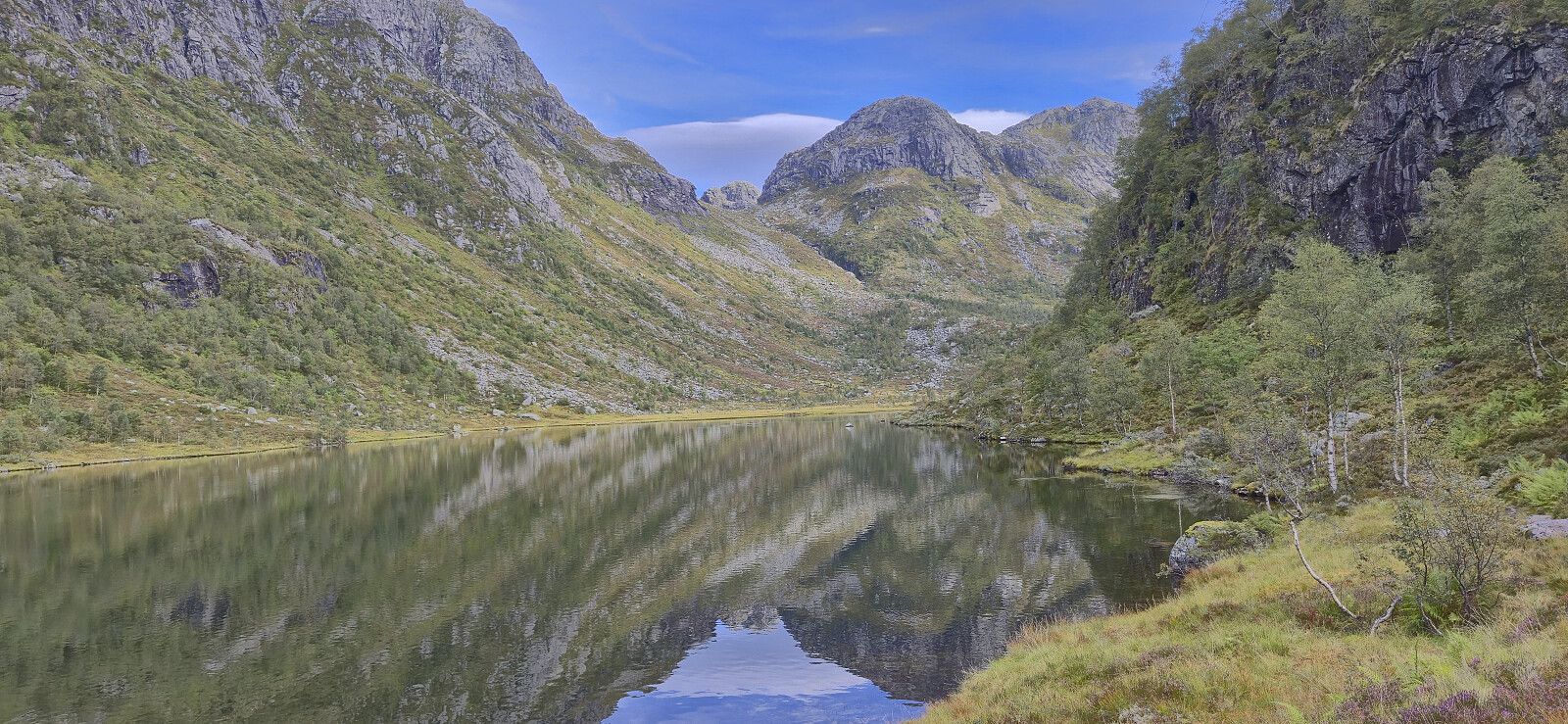
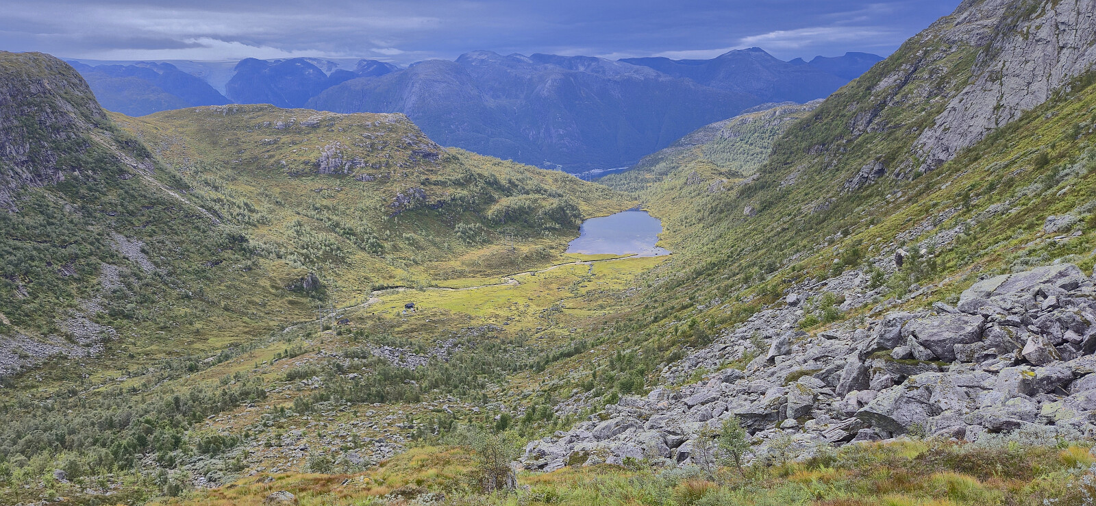
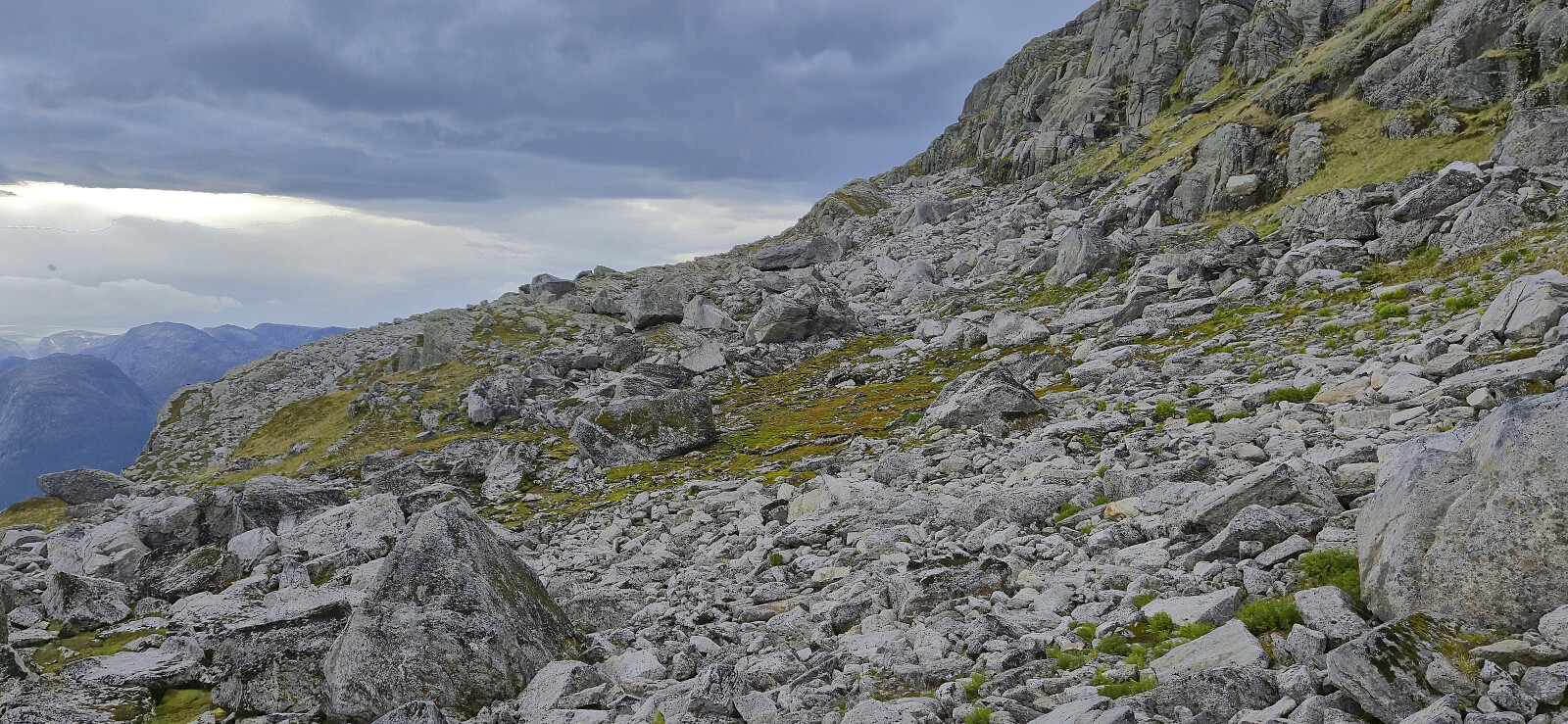
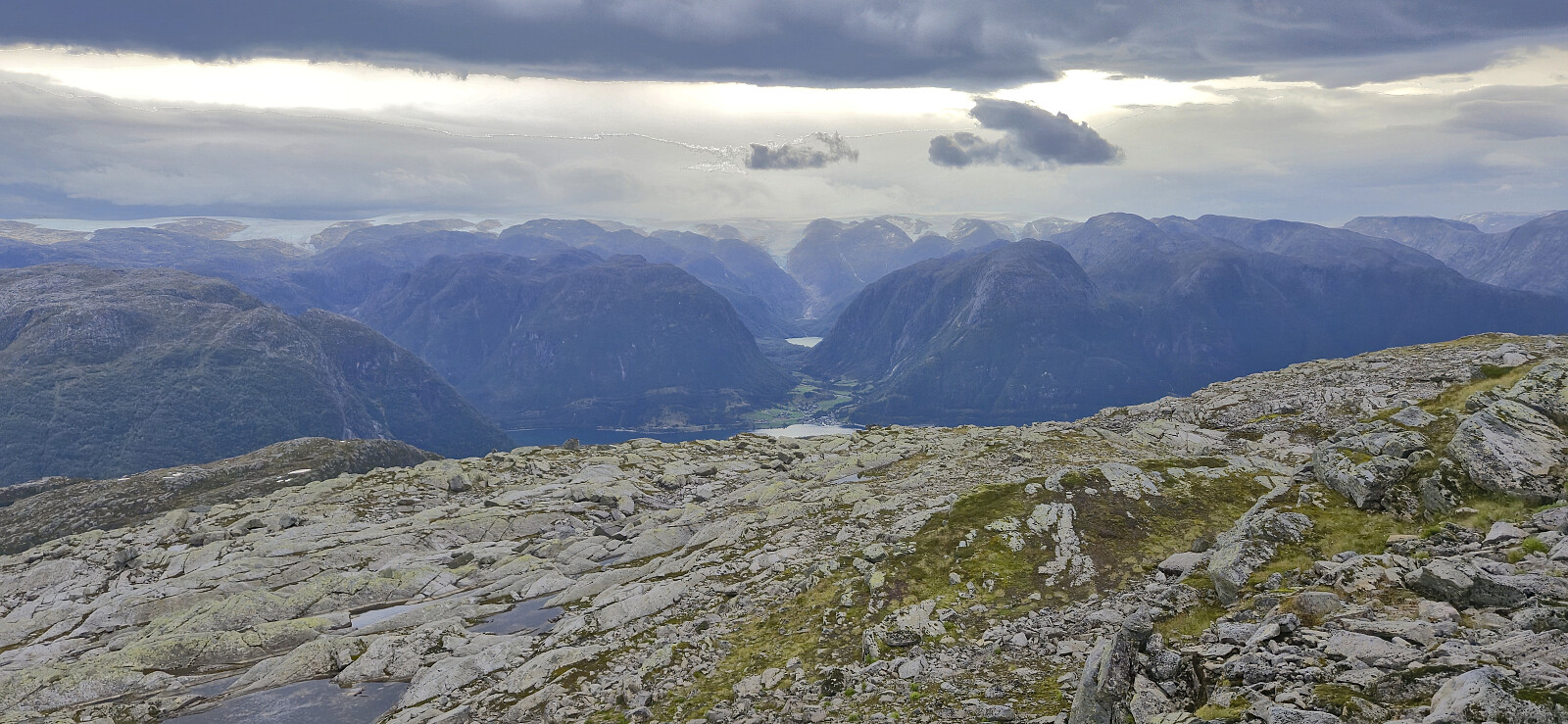
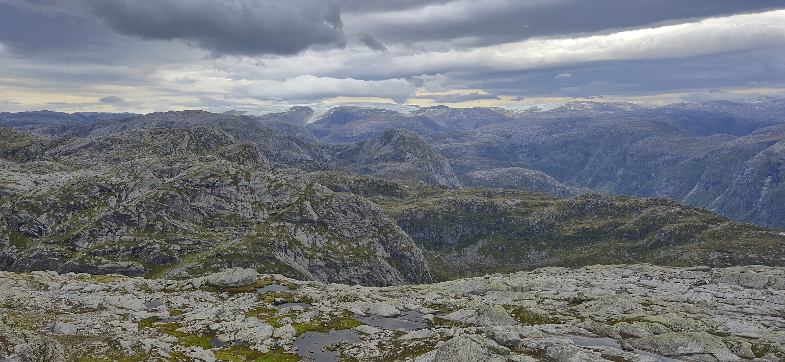
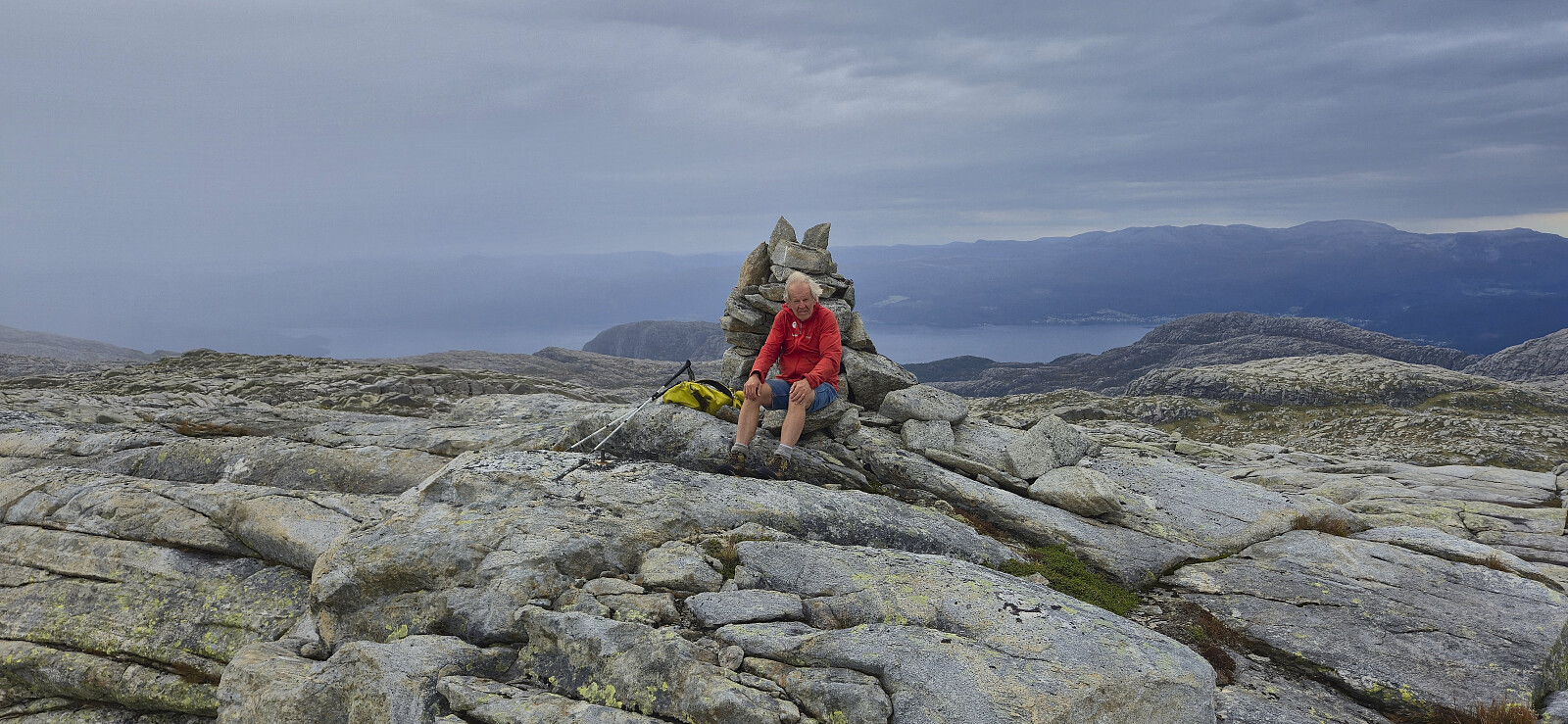
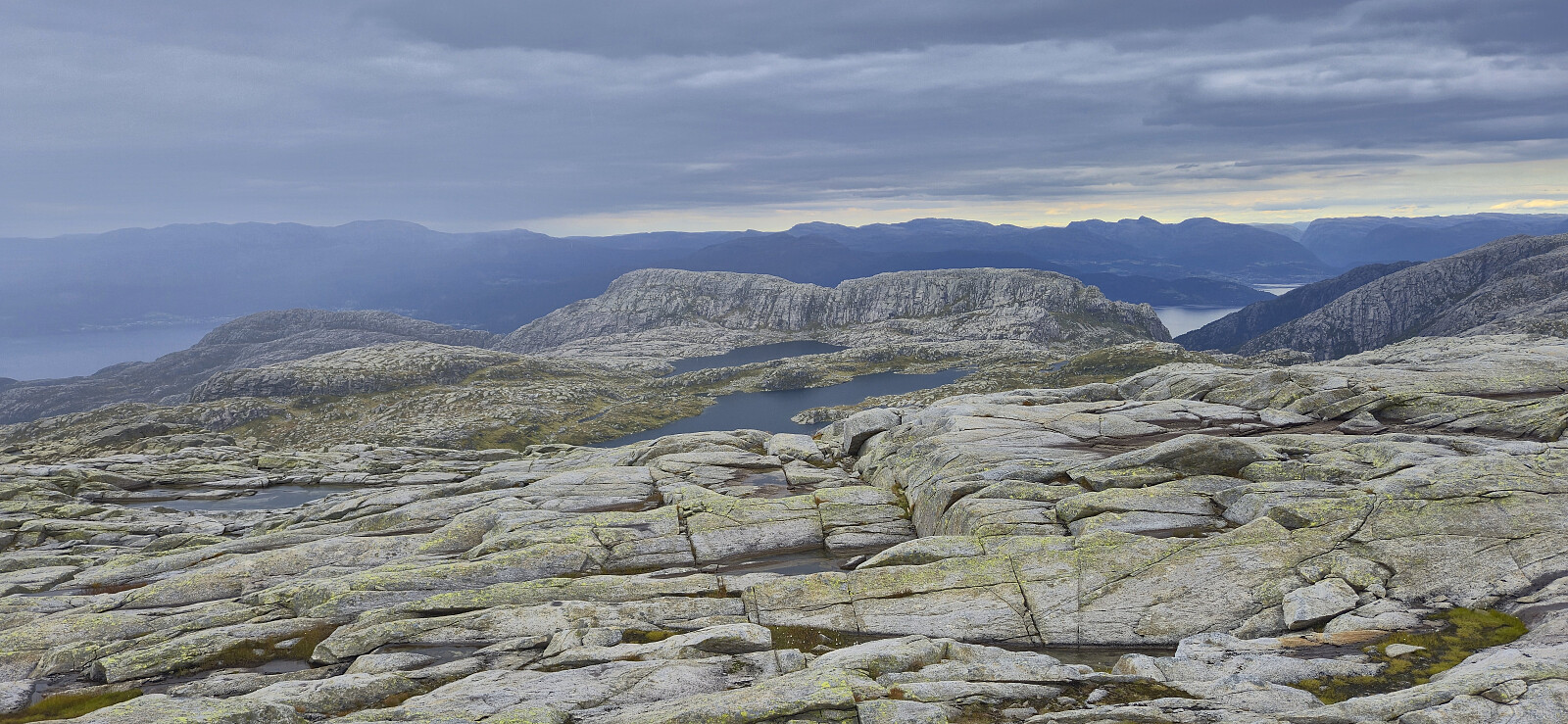
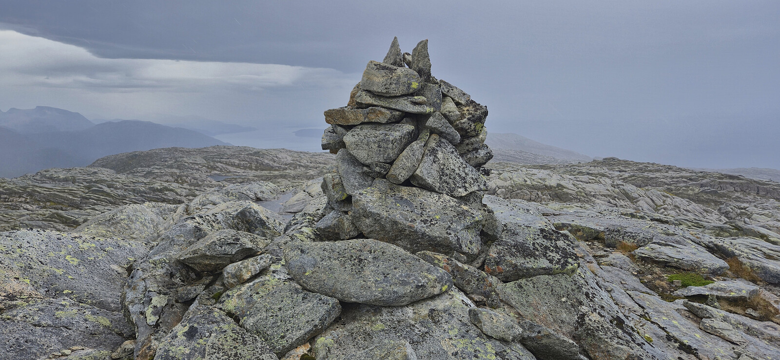
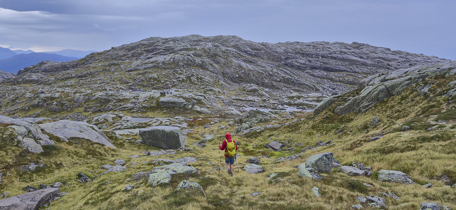
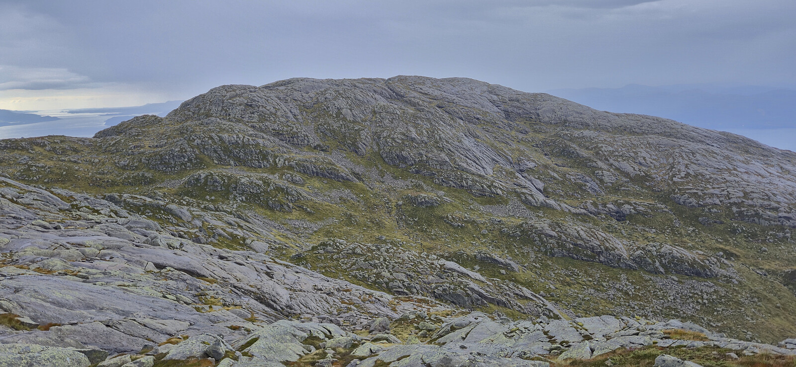
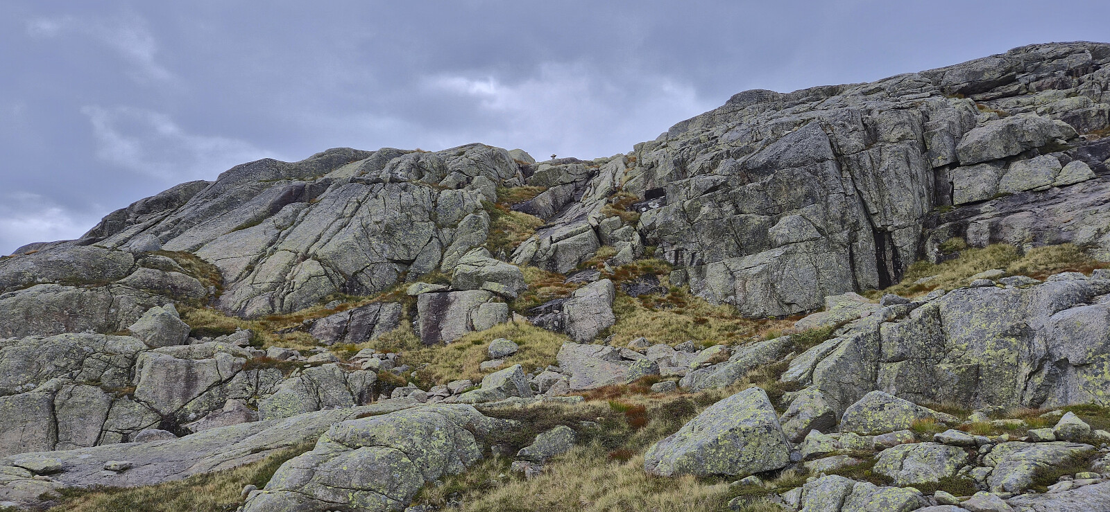
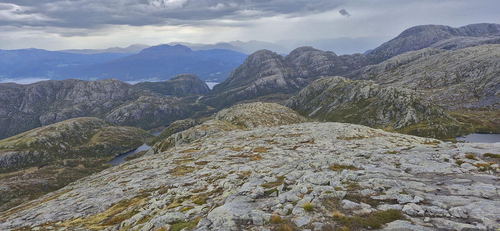
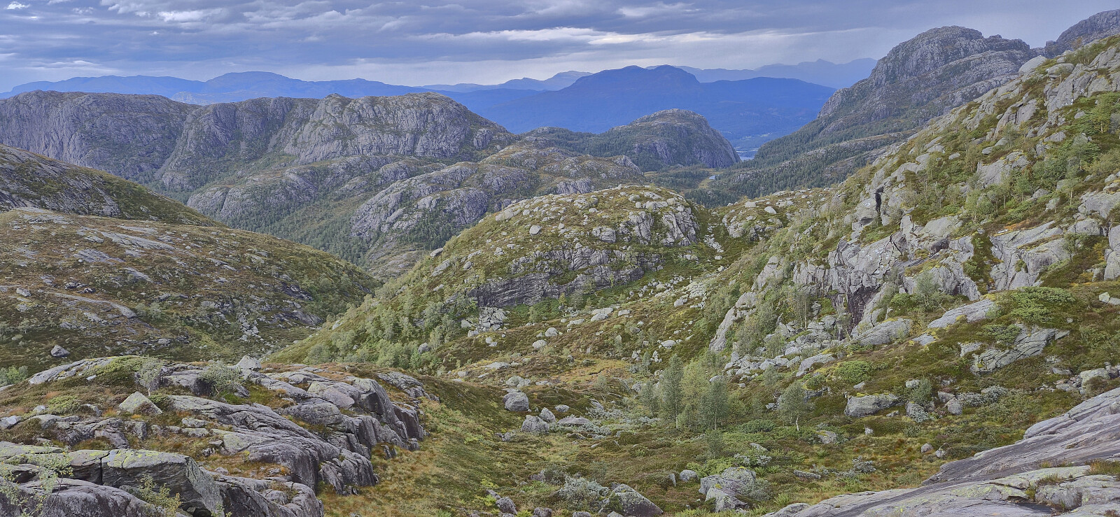
The weather had now changed for the worse, with the sunshine replaced by rainclouds and increasing wind, but thankfully it was still warm enough such that it did not bother us too much. Making progress towards Storahorga was overall straightforward, with the only minor challenge being to find a route down to Tjørnaskardtjørna that was not too steep while at the same time not losing more vertical meters than necessary. The following ascent to Storahorga was also straightforward. There were even a couple of cairns marking the way up the steepest section. As we reached the summit cairn it had stopped raining and we took a couple of minutes to enjoy the view before starting our descent.
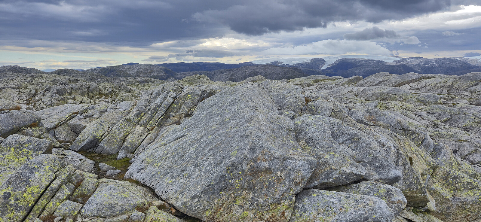
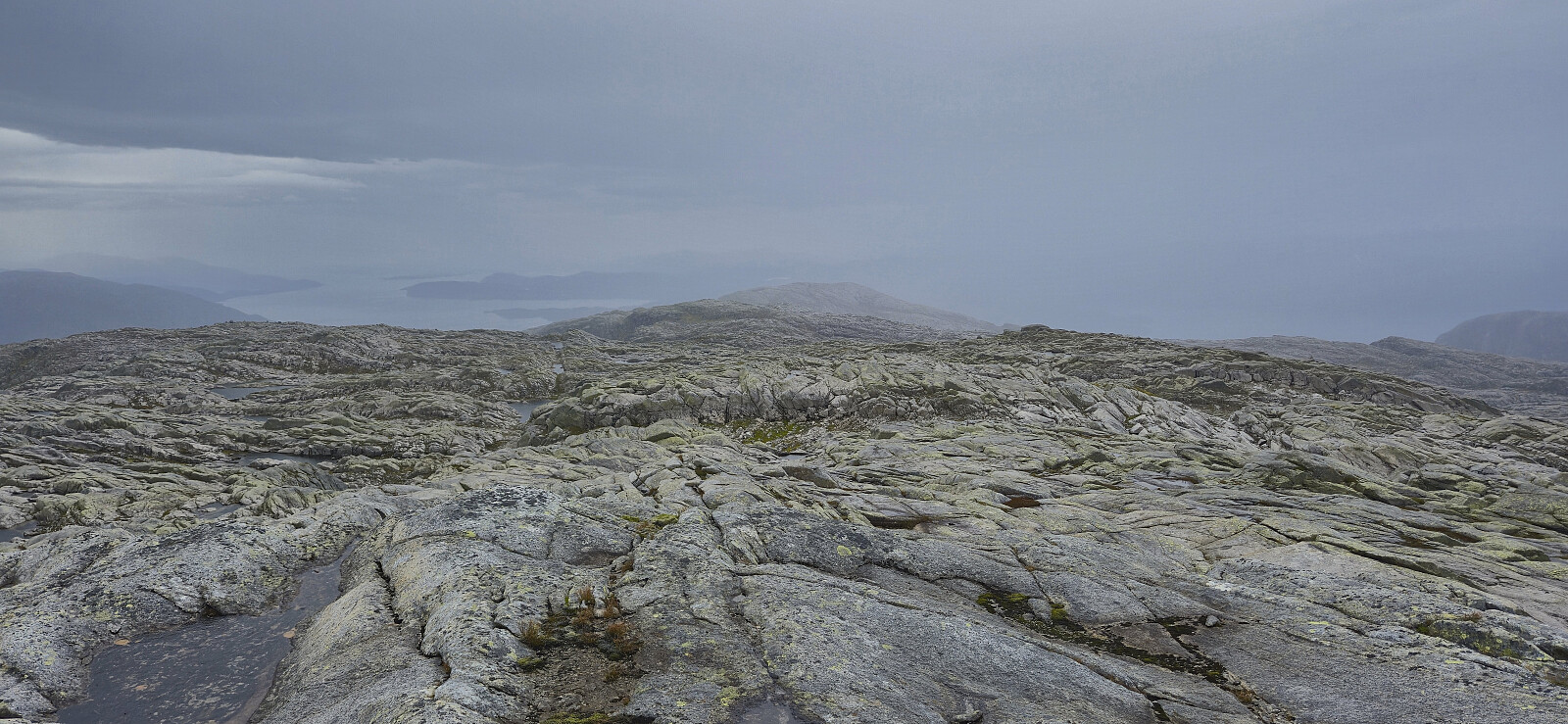
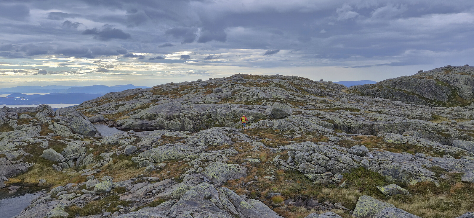
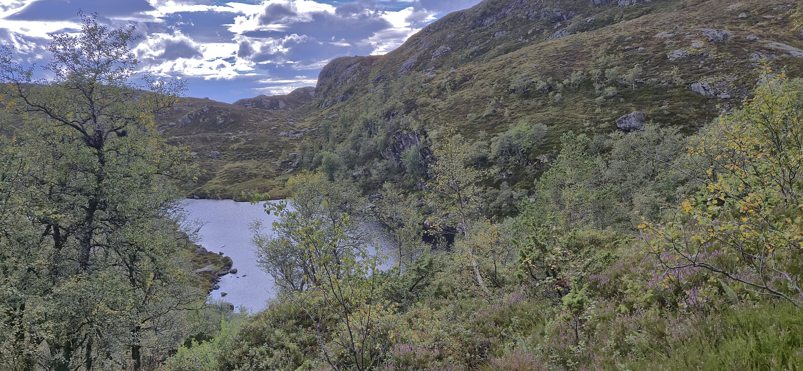
Our plan was to descend north to connect with the trail from Vassdalen and then follow it down to the gravel road to Årvik. This started out great with an easy off-trail descent towards Vassdalshorga and onwards to east of Småbotna. Here we were supposed to connect with a trail but failed to find anything but weak traces. It got even worse as we rounded Småbotna on the western side. No trail at all but instead lots of vegetation to fight with and hidden holes that had to be avoided.
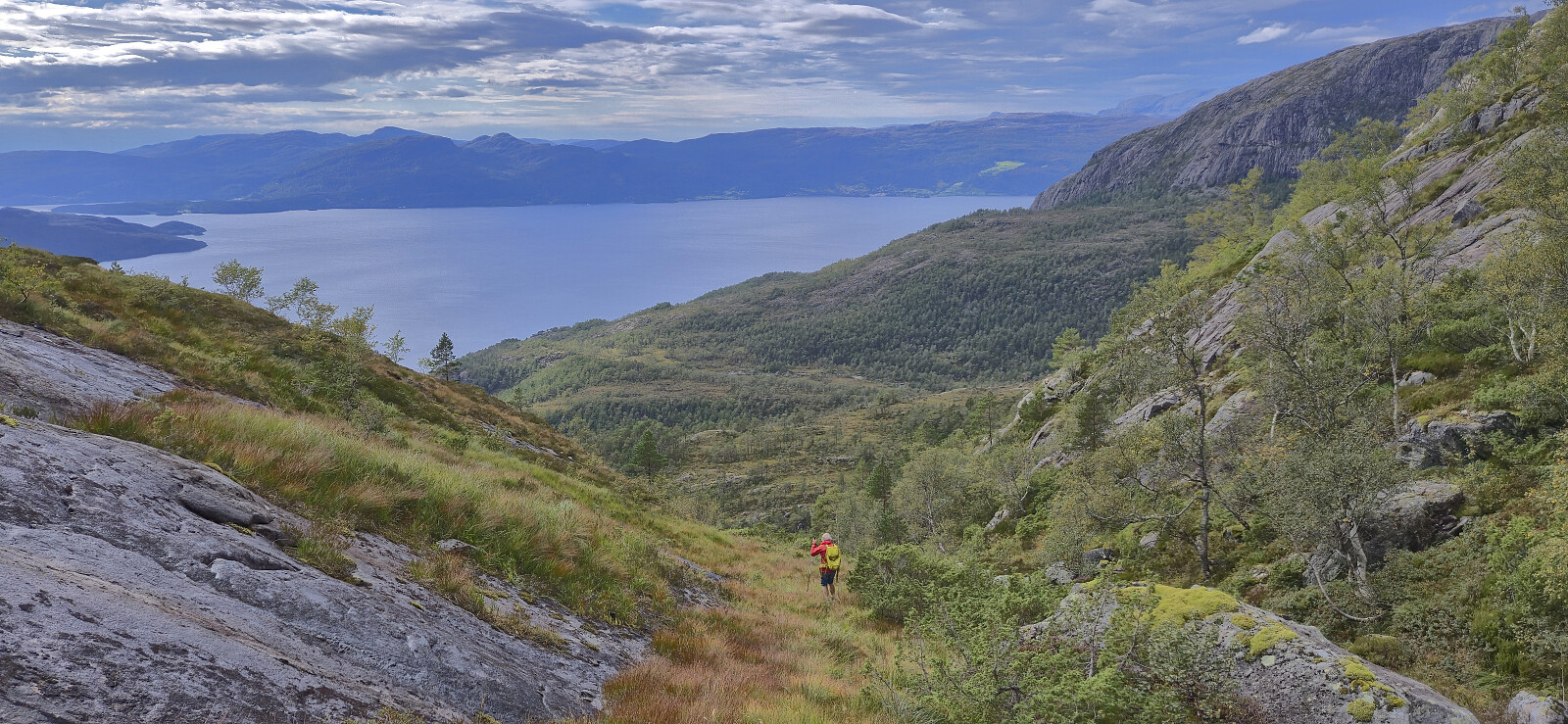
As we rounded Storhei the terrain shortly changed for the better and we even spotted a weak trail. Hopeful that the rest of the descent would be easier we headed down the valley between Storhei and Såta. We quickly lost any traces of a trail though and the terrain suddenly became much steeper. After fruitless attempts at locating the trail, we resorted to slowly making our way down the least steep route. Thankfully there were lots of tree branches to hold on to, and by taking it slow we managed to get past the steepest section without any major issues. Here we once more tried to search for the trail but except for short stretches that looked more like animal tracks, our route to the gravel road has to be described as off-trail and not very enjoyable.
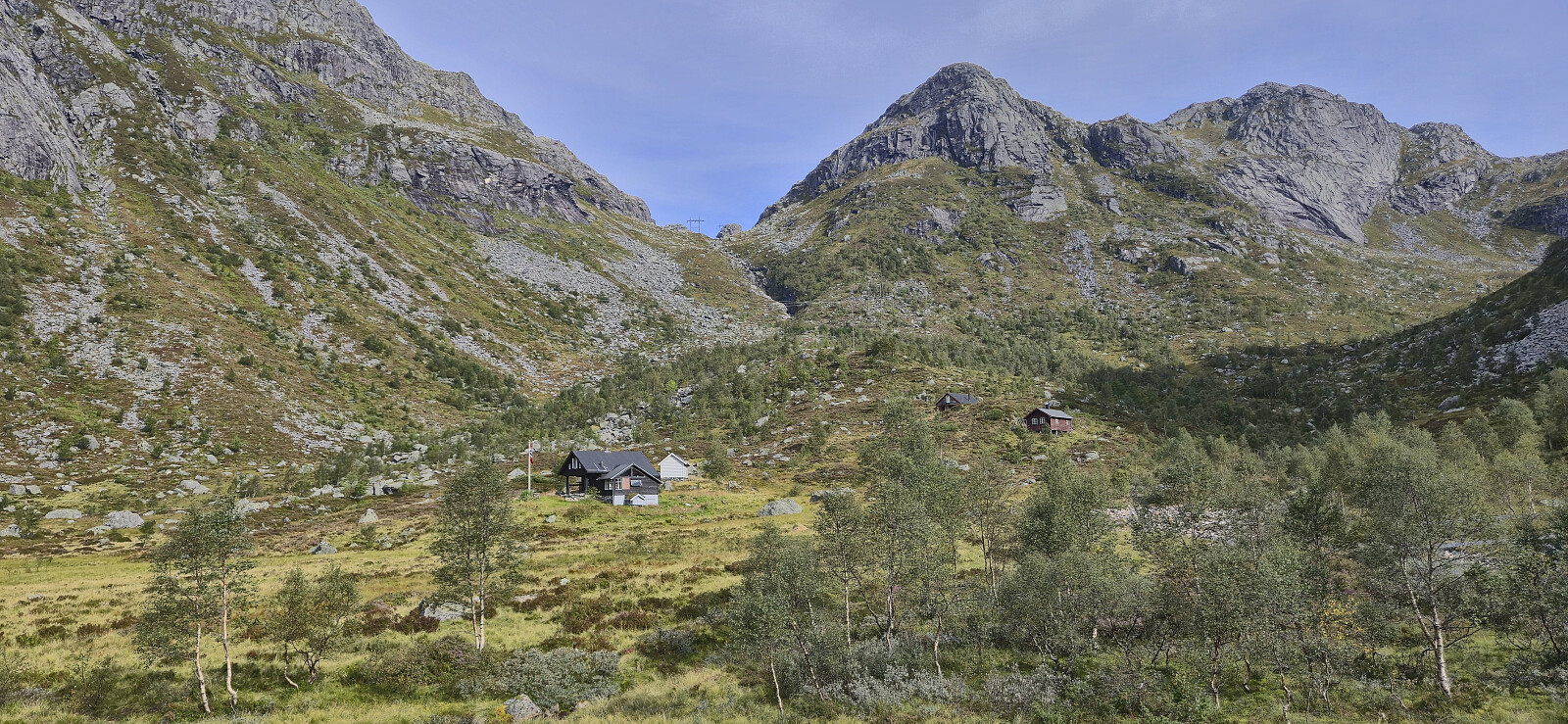
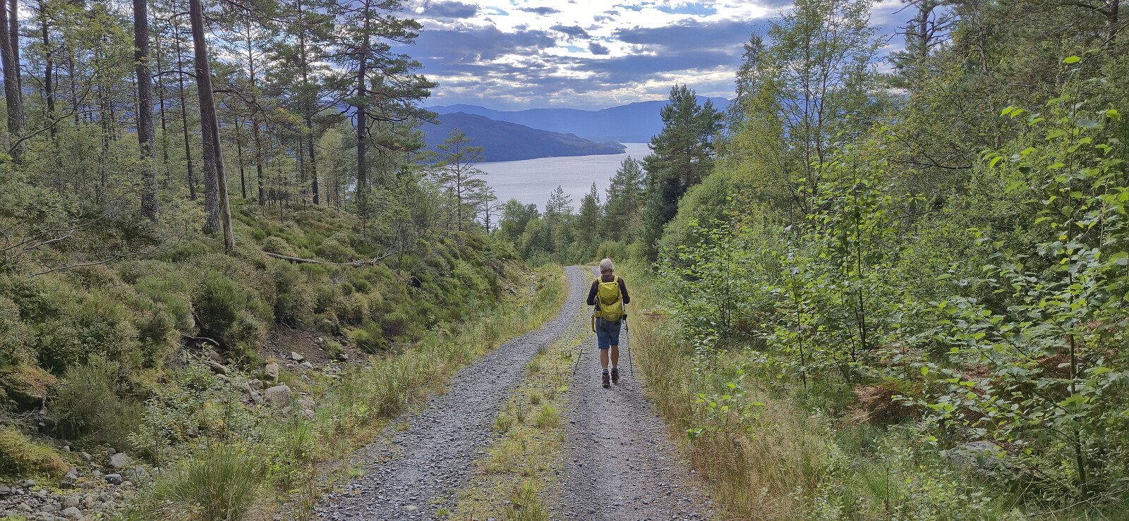
After finally connecting with the gravel road, all that was left was to follow it down to Årvik kraftstasjon where Kjell was waiting for us after having driven from Gjetingsdalen via Jondalstunnelen. Due to our descent having taking longer than expected he had been there for almost half an hour. We all then got into the car and headed back to Jondal for the ferry to Tørvikbygd and the drive home to Bergen.
To conclude, a hike from Gjetingsdalen to Grønhaug and onwards to Storahorga can very much be recommended. The descent from Storahorga to Årvik should however be avoided. Kjell’s route to/from Årsand seems to be a much better alternative.
Takk for turen, Kjell og Petter!
| Start date | 30.08.2025 10:03 (UTC+01:00 DST) |
| End date | 30.08.2025 17:35 (UTC+01:00 DST) |
| Total Time | 7h 32min |
| Moving Time | 6h 43min |
| Stopped Time | 0h 49min |
| Overall Average | 2.2km/h |
| Moving Average | 2.4km/h |
| Distance | 16.2km |
| Vertical meters | 1,090m |


User comments
What a nice hiking party...
Written by HHauser 02.09.2025 23:46... and what an adventure at the very end! Good that you all made it back down safely!
Re: What a nice hiking party..
Written by hbar 03.09.2025 19:19Thanks, Helwig! When expecting a trail and not finding any, I thought it was a good idea to at least warn others planning a similar hike. But our descent was probably not much steeper than what you're used to on your many off-trail and unusual routes. ;)