
Fløysvingene and Skredderdalen (24.08.2025)

Written by hbar (Harald Barsnes)

| Start point | Torget (2m) |
|---|---|
| Endpoint | Munkebotn (14m) |
| Characteristic | Hillwalk |
| Duration | 2h 51min |
| Distance | 7.9km |
| Vertical meters | 440m |
| GPS |
|
| Visits of other PBEs | Fjellveien i Bergen (120m) | 24.08.2025 |
|---|---|---|
| Fløypilen (299m) | 24.08.2025 | |
| Utsikt over Ytre Sandviken (371m) | 24.08.2025 |
Fløysvingene and Skredderdalen
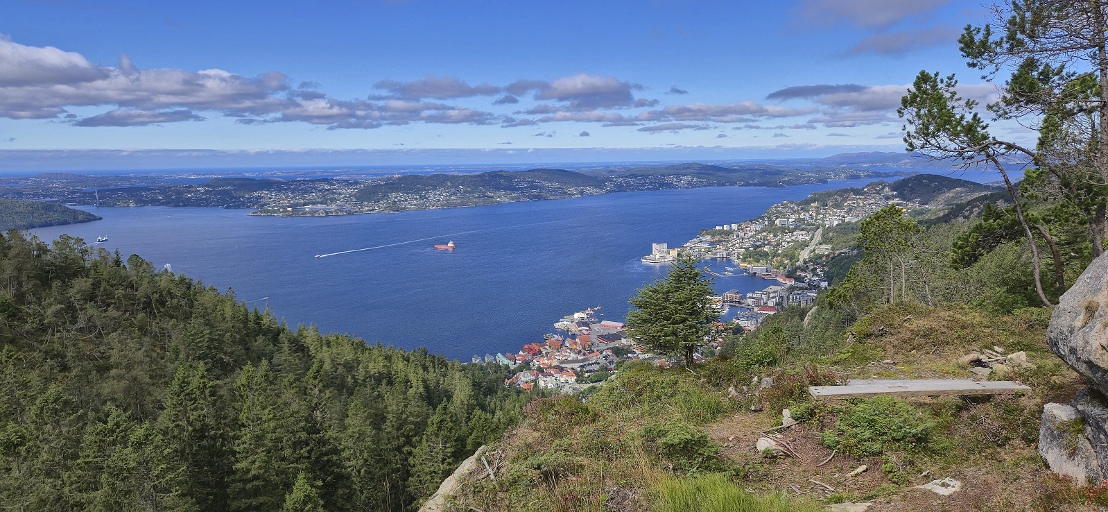
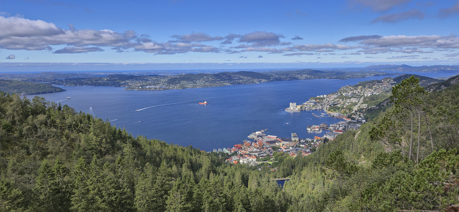
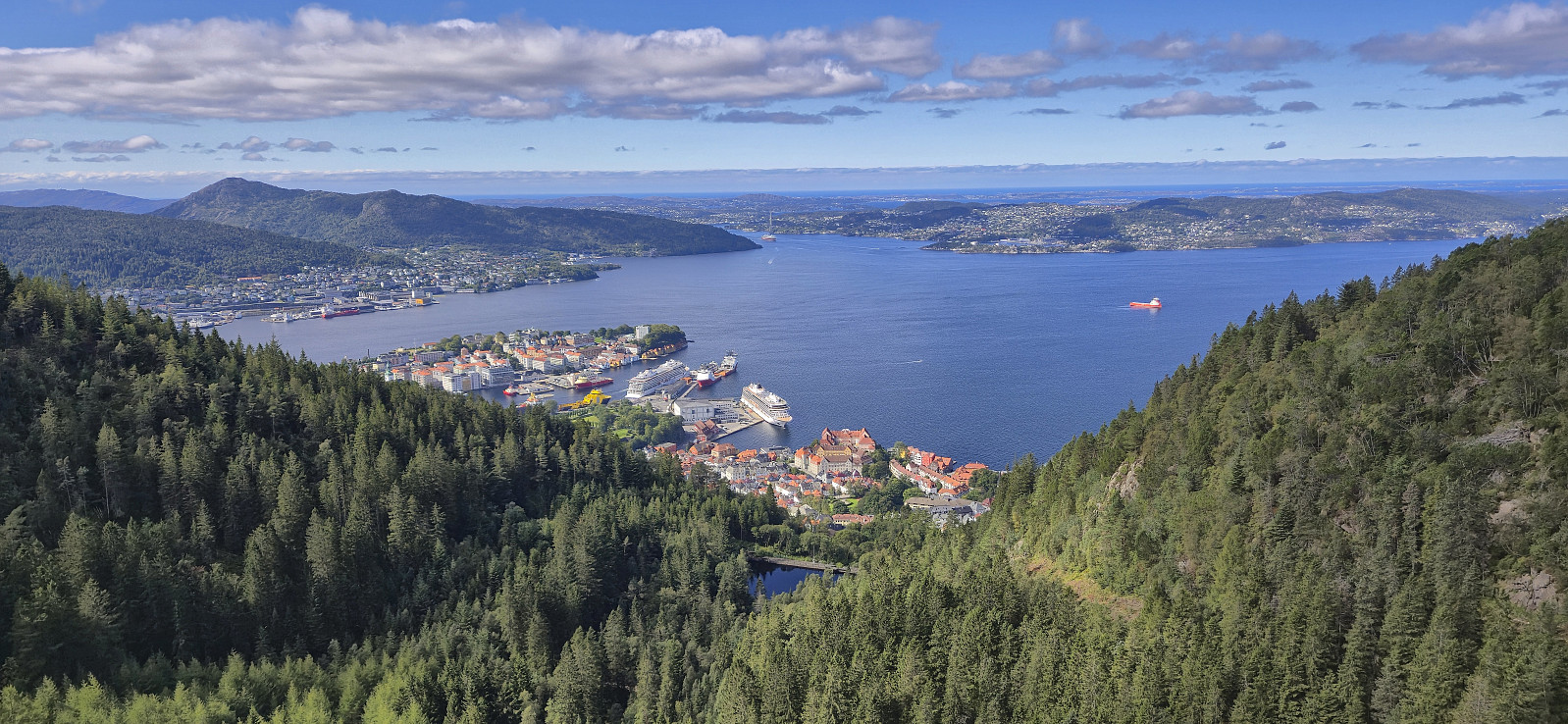
Sunday hike at Fløyen with the goal to identify a viewpoint we had come across in a picture included in the annual report from Bergens Skog- og Træplantningsselskap. After taking the bus to the city center I walked up to Fløyen via Fløysvingene where I met my parents. They had arrived via Fløibanen and together we continued to the lower part of "lysløypen" where it did not take long before we found the spot the picture had been taken. It provided an excellent view and could be reached in two ways, with the shorter option via a trail from the gravel road to the southeast being the easiest. We proceeded to descended via Skredderdalen to Mulen. Here I continued on my own to Munkebotn and then took the bus back to Lønborg.
| Start date | 24.08.2025 11:08 (UTC+01:00 DST) |
| End date | 24.08.2025 13:59 (UTC+01:00 DST) |
| Total Time | 2h 51min |
| Moving Time | 2h 06min |
| Stopped Time | 0h 45min |
| Overall Average | 2.8km/h |
| Moving Average | 3.8km/h |
| Distance | 7.9km |
| Vertical meters | 439m |


User comments