
Øvsthusnipa and Vest for Stangahøgdi from Fyre (23.08.2025)

Geschrieben von hbar (Harald Barsnes)

| Startpunkt | Haugsvikvegen v/Fyre (306m) |
|---|---|
| Endpunkt | Haugsvikvegen v/Fyre (306m) |
| Tourcharakter | Bergtour |
| Tourlänge | 6h 12min |
| Entfernung | 15,7km |
| Höhenmeter | 1.240m |
| GPS |
|
| Besteigungen | Øvsthusnipa (1.259m) | 23.08.2025 13:38 |
|---|---|---|
| Vest for Stangahøgdi (1.296m) | 23.08.2025 14:56 | |
| Besuche anderer PBE | Fyre p-plass (325m) | 23.08.2025 11:23 |
Øvsthusnipa and Vest for Stangahøgdi from Fyre

For the second weekend in a row I took the train to Voss, but where I last Sunday continued on an almost empty bus towards Ulvik I today got on one out of a total of four buses packed with tourists heading to Gudvangen. That was not my plan though and I instead got off at the last stop before Stalheim. (Tip: ask the driver to let you off before the bus takes its detour to Stalheim, as apparently there is an extended stop there.)
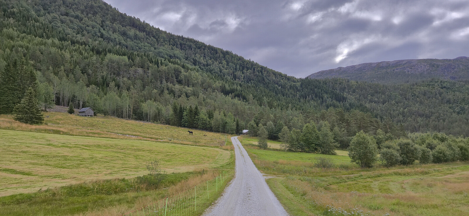
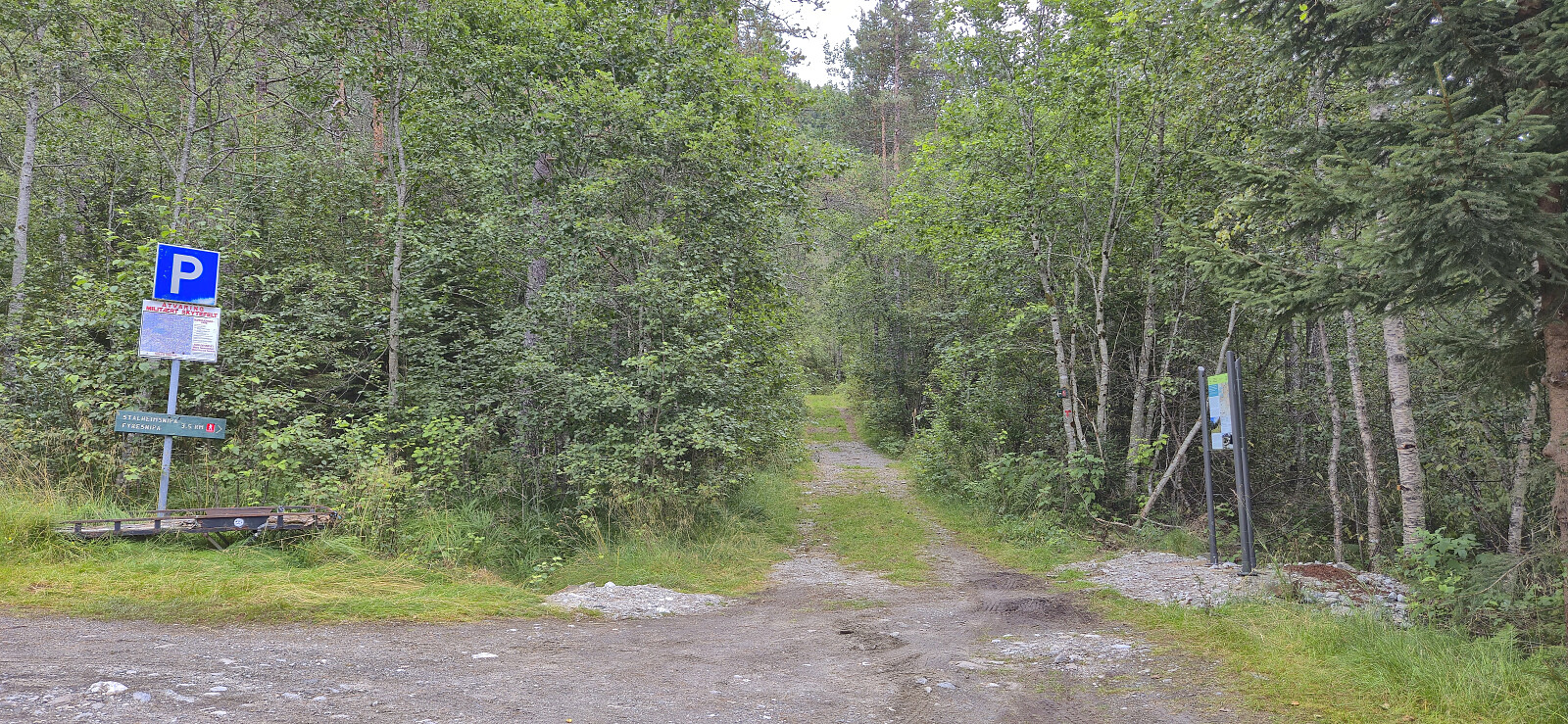
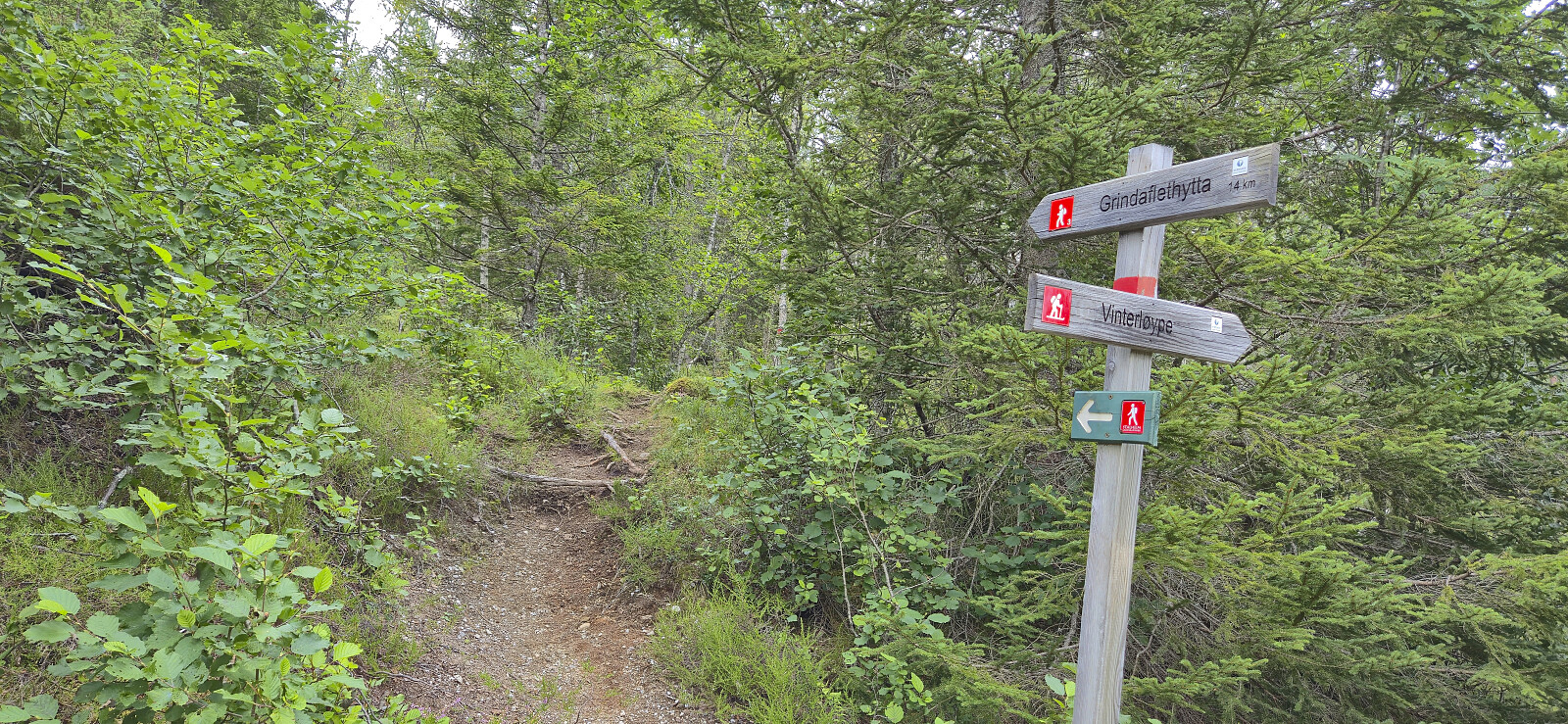
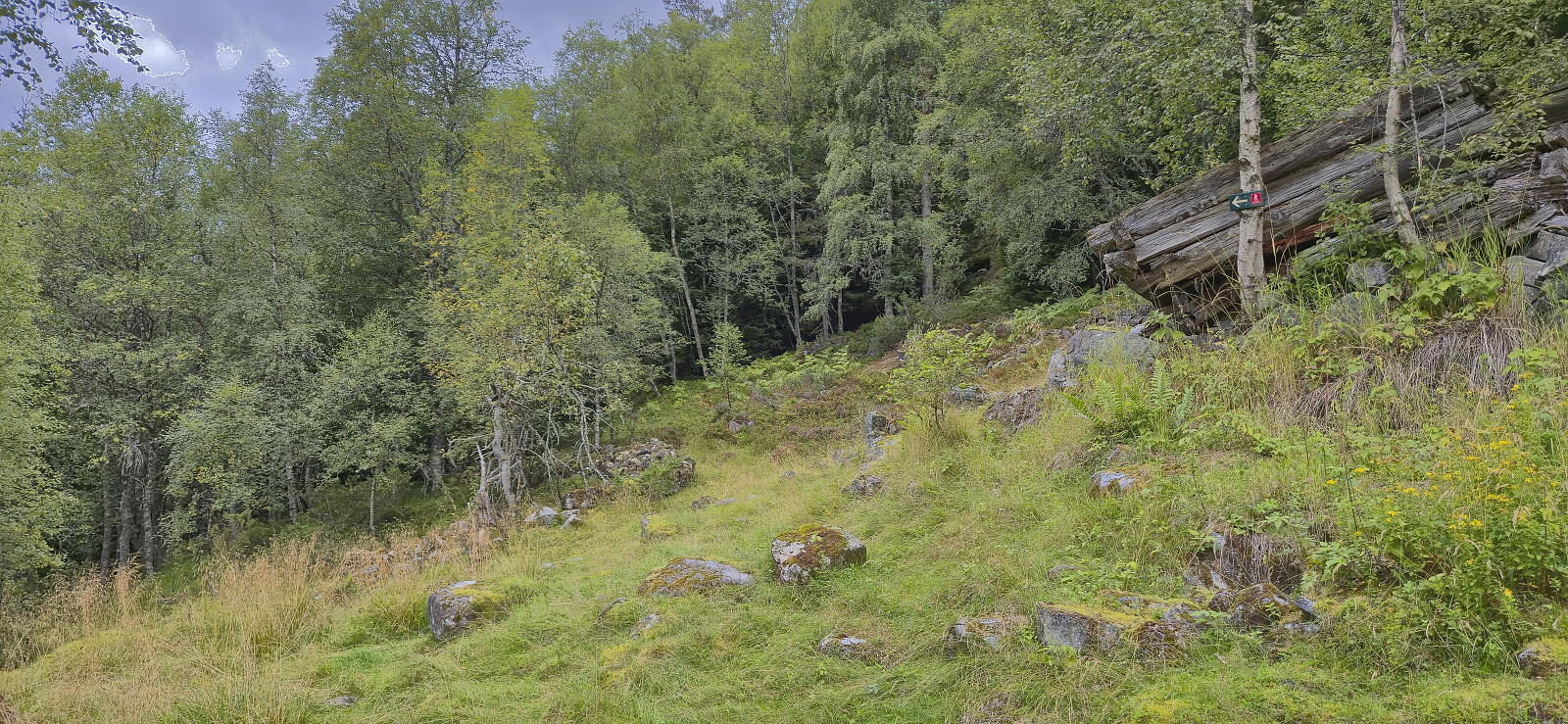
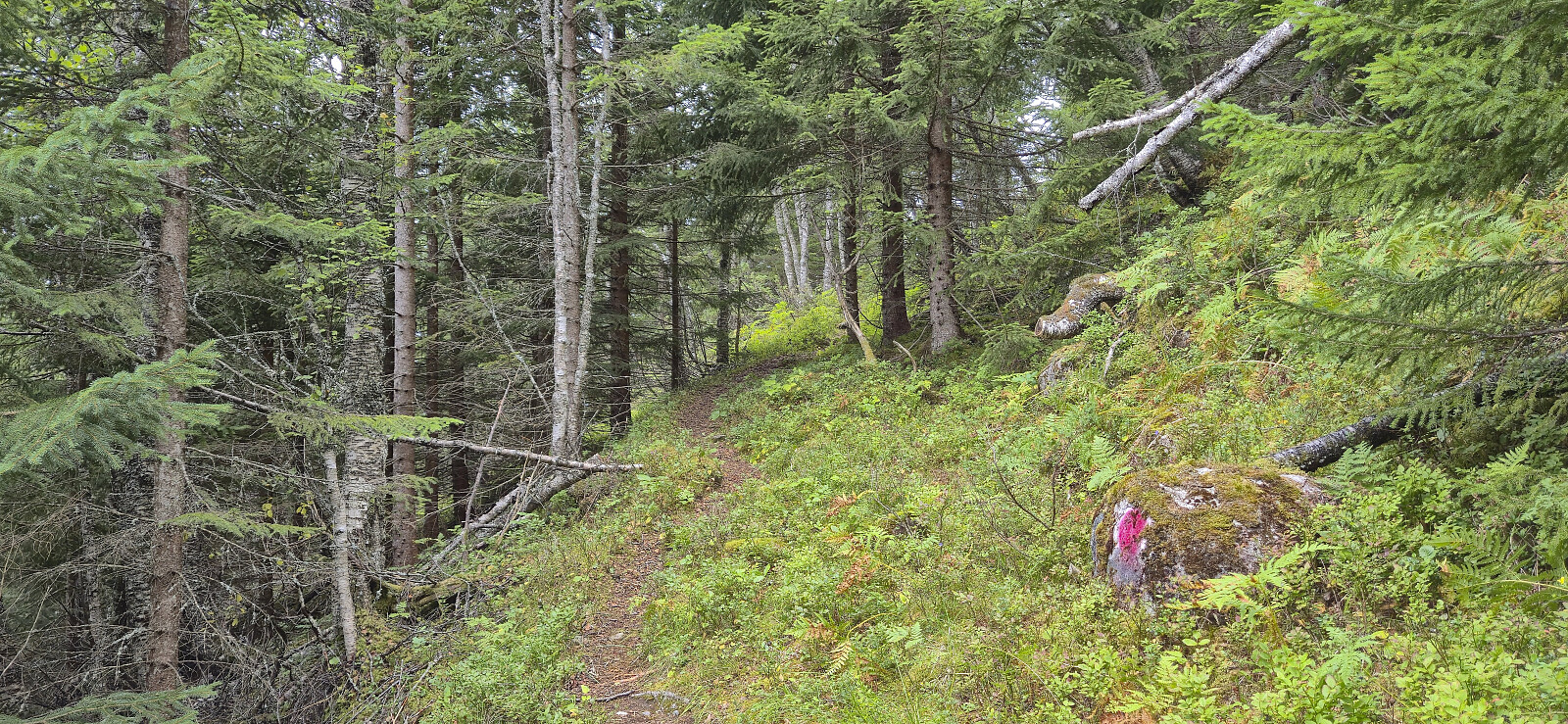
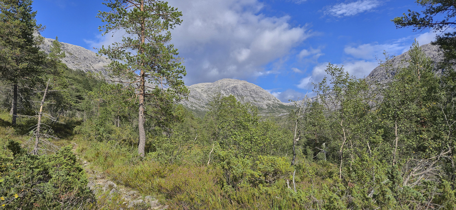
After getting off the bus I briefly walked south along the main road on a separate cycling and walking path, crossed the road and continued on the gravel road to Fyre where I located the marked trailhead next to the parking lot. A tractor road took me up to the start of the marked trail to Grindaflethytta. I however only stayed on this trail until Øvsthus, where I left the main trail and continued on a marked trail towards Stalheimsnipa.
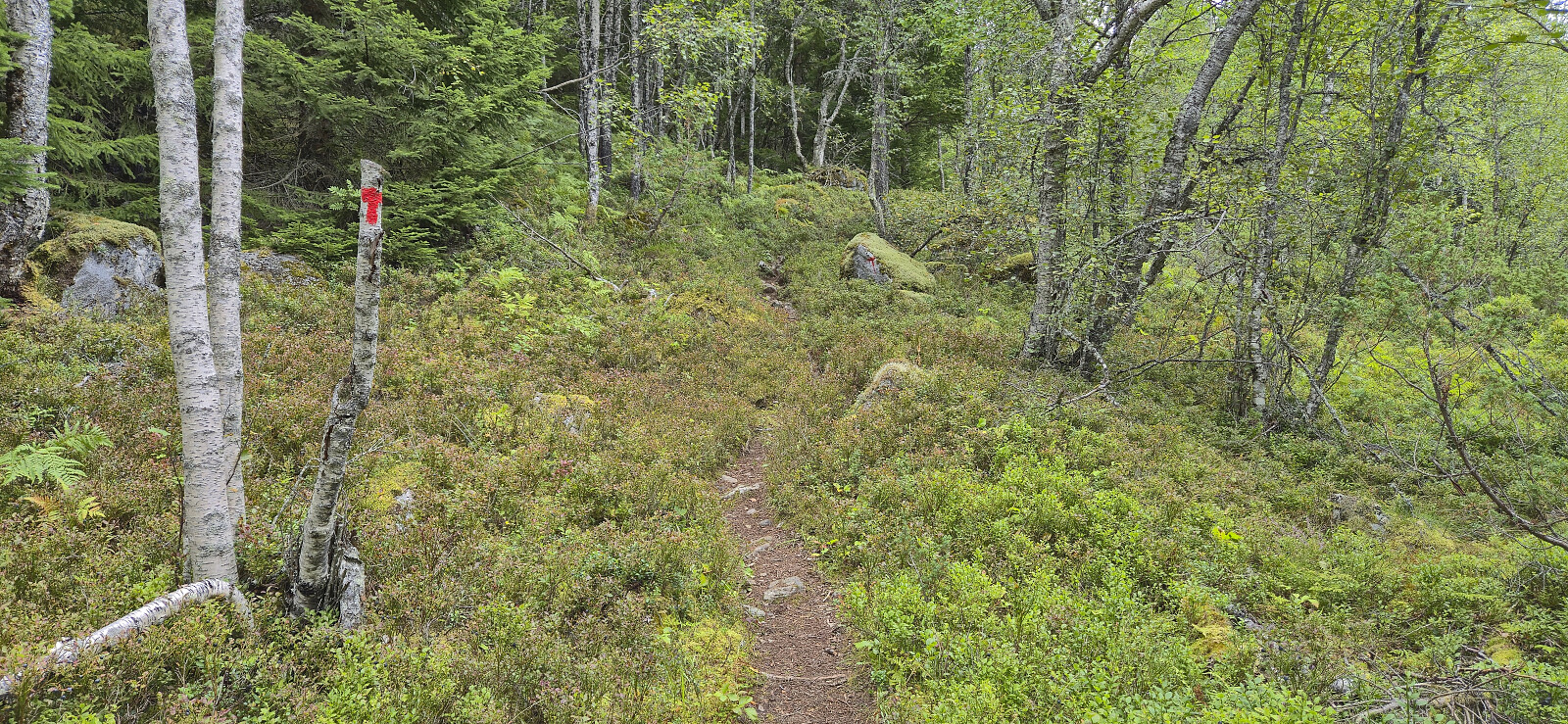
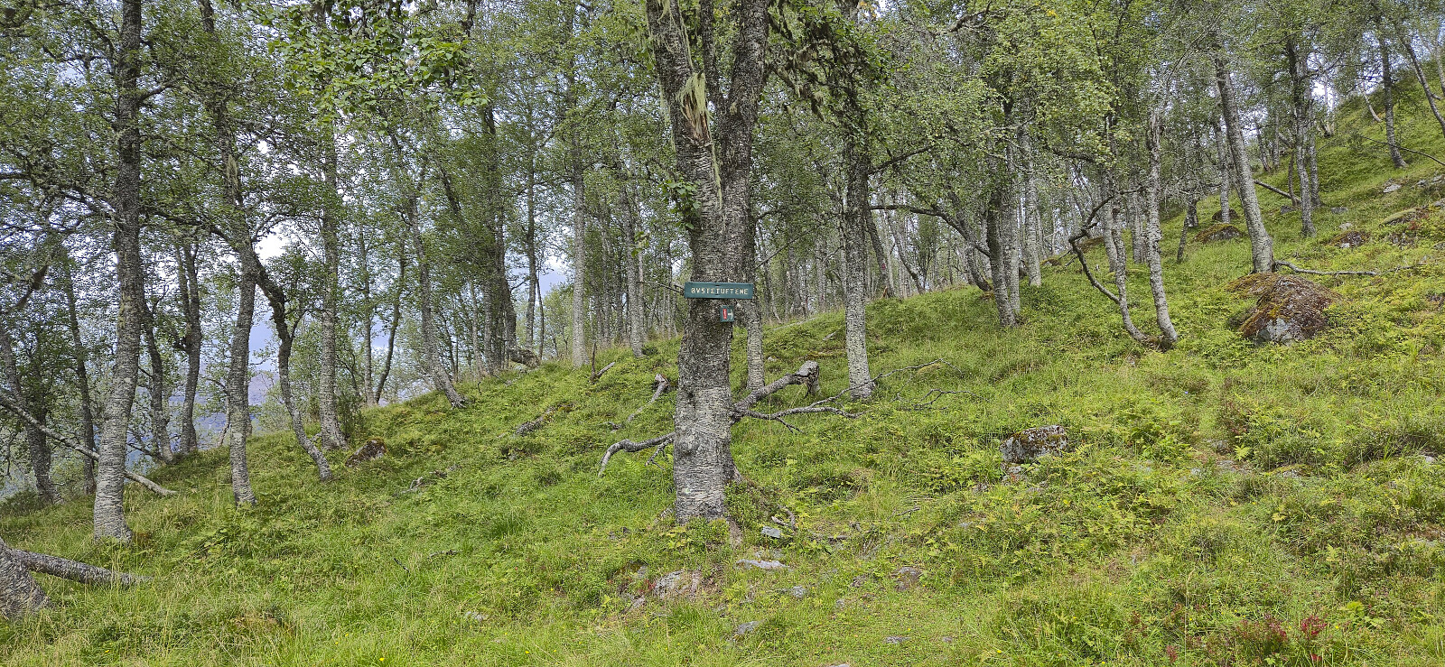
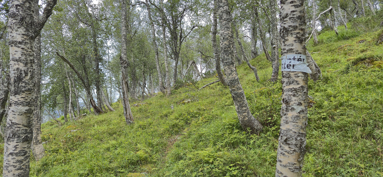
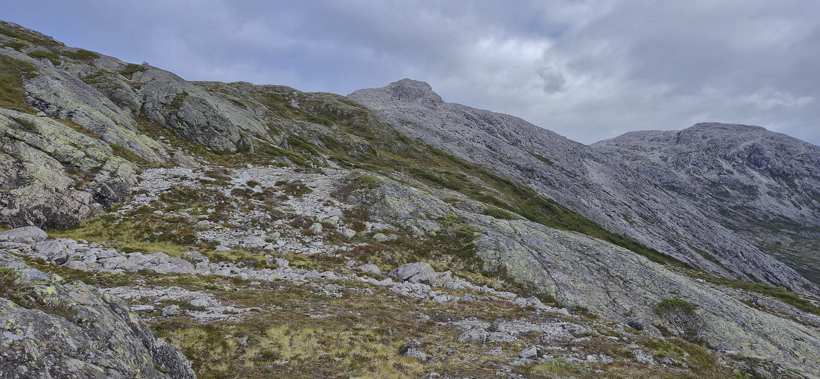
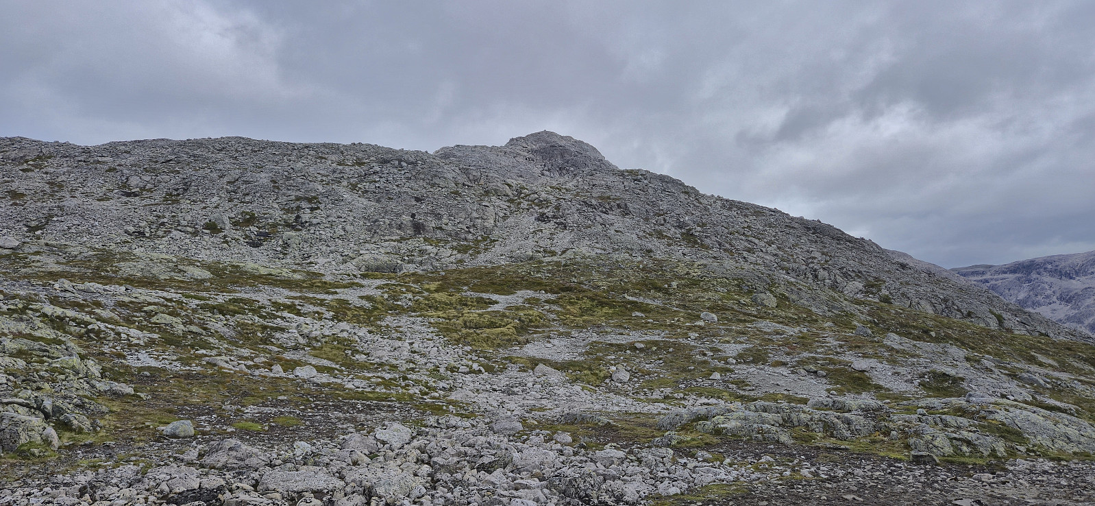
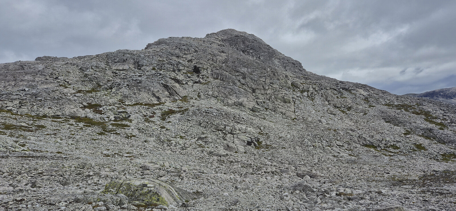
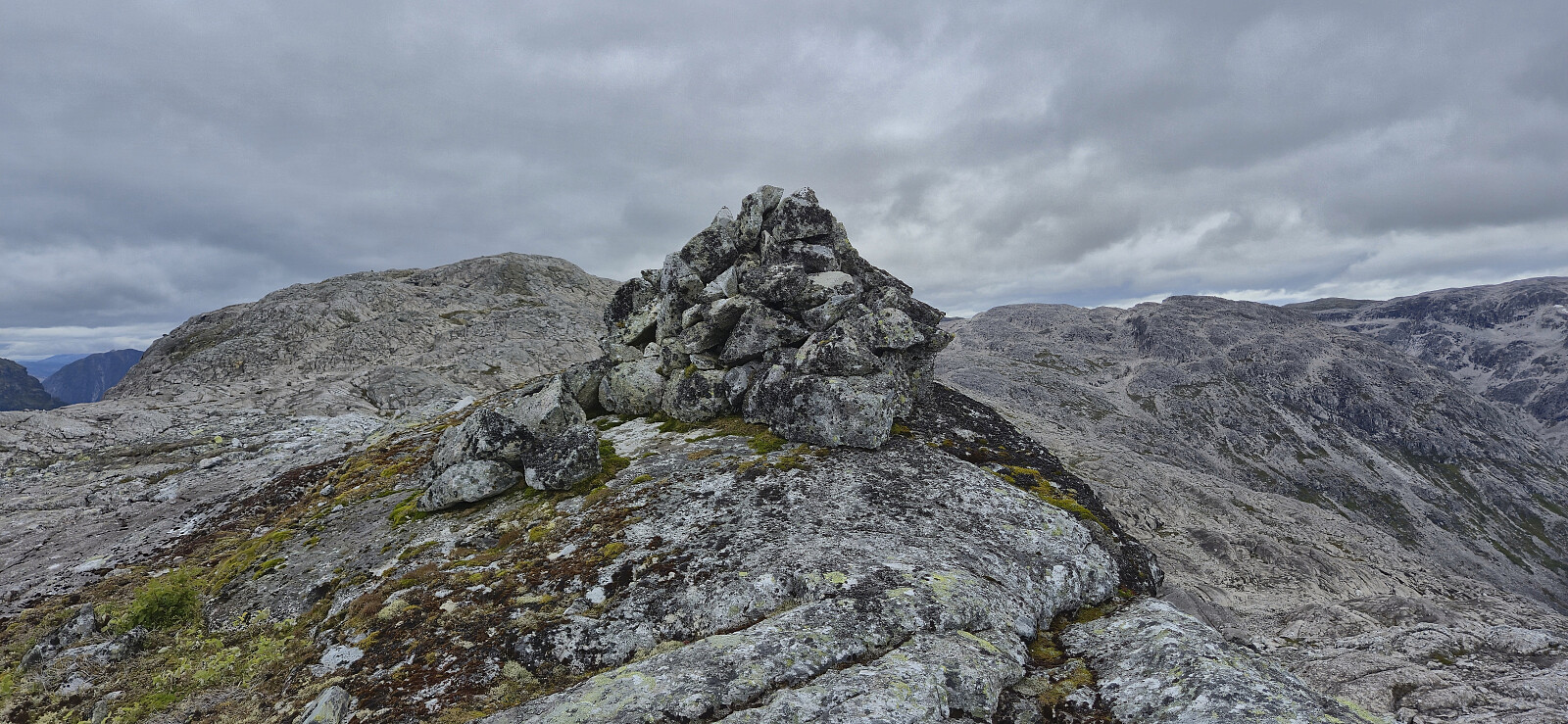
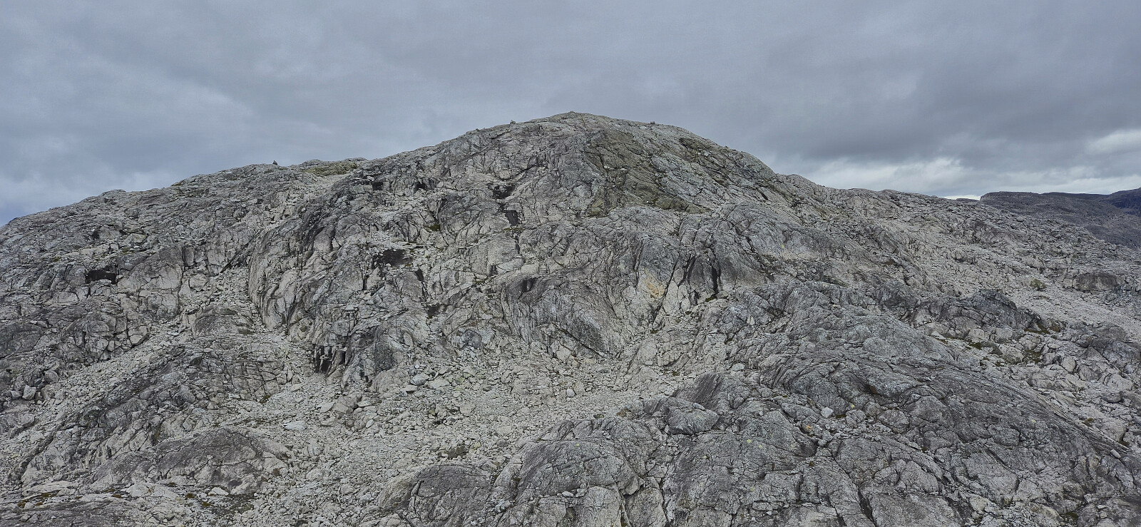
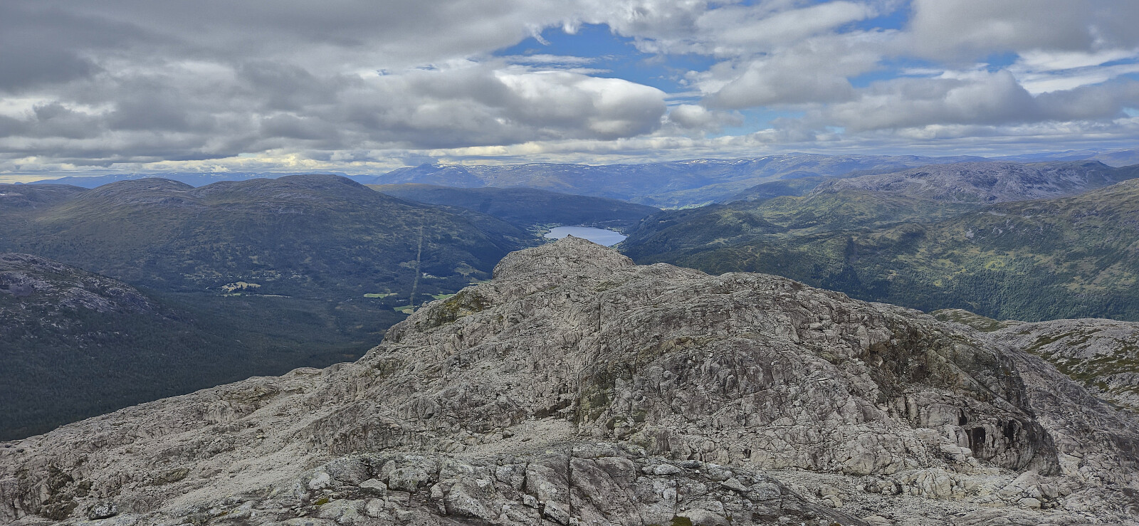
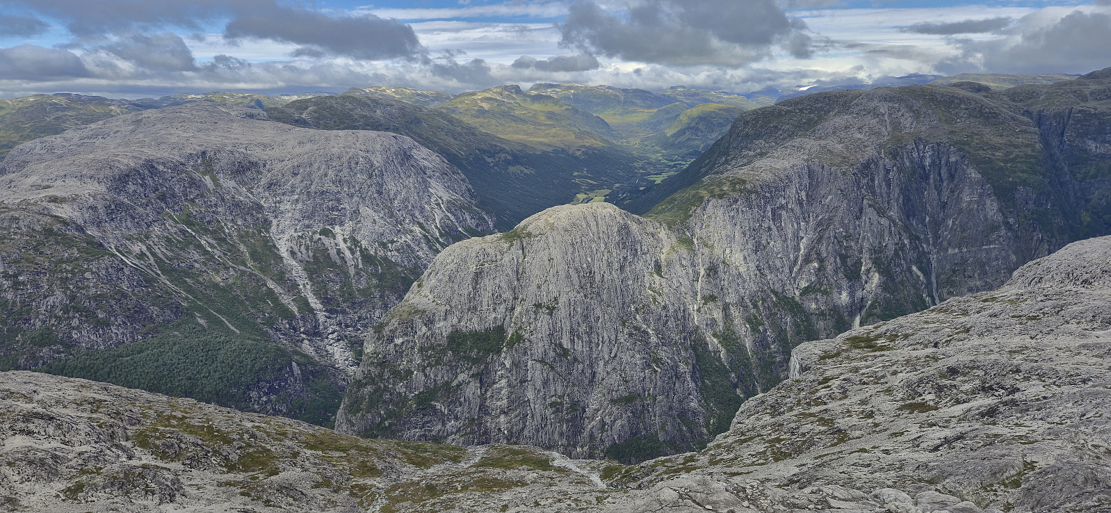
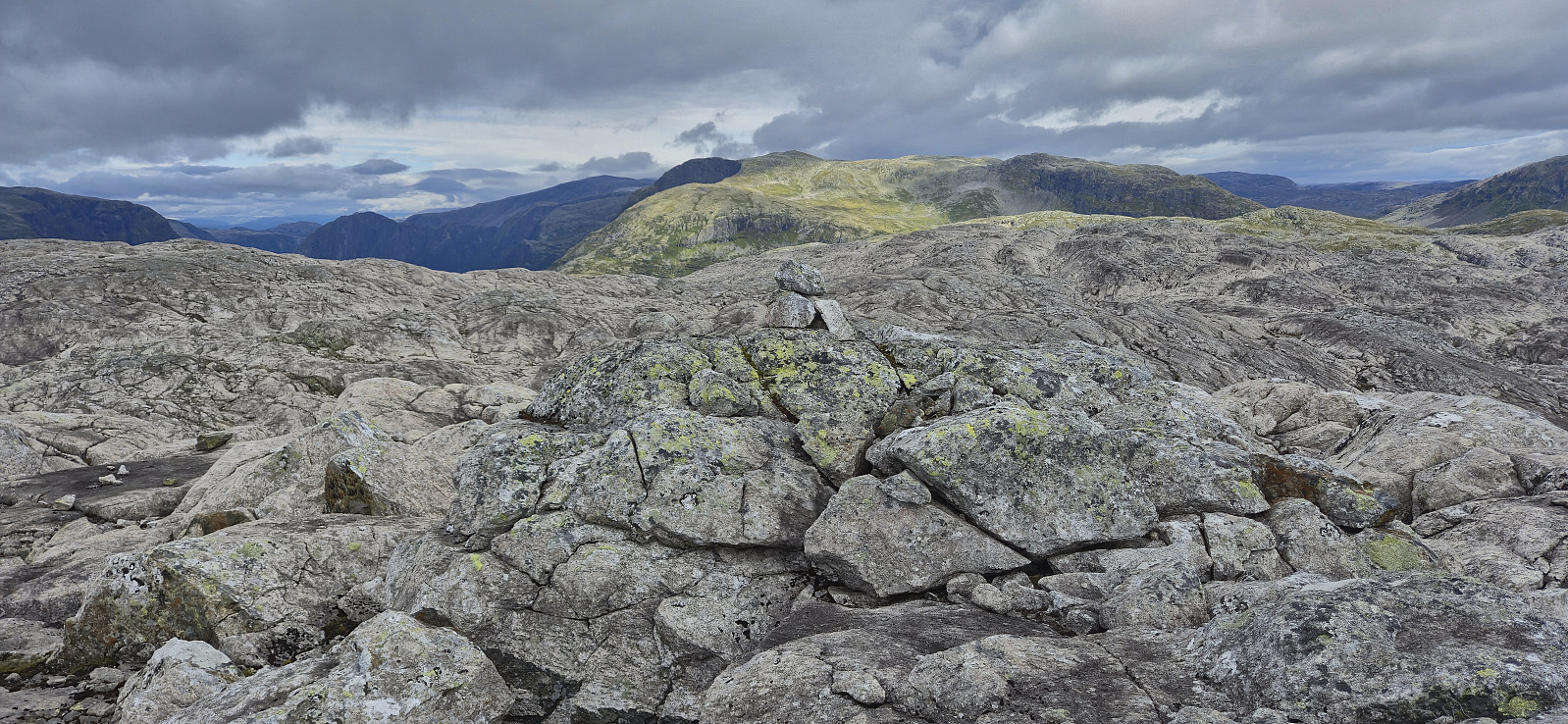
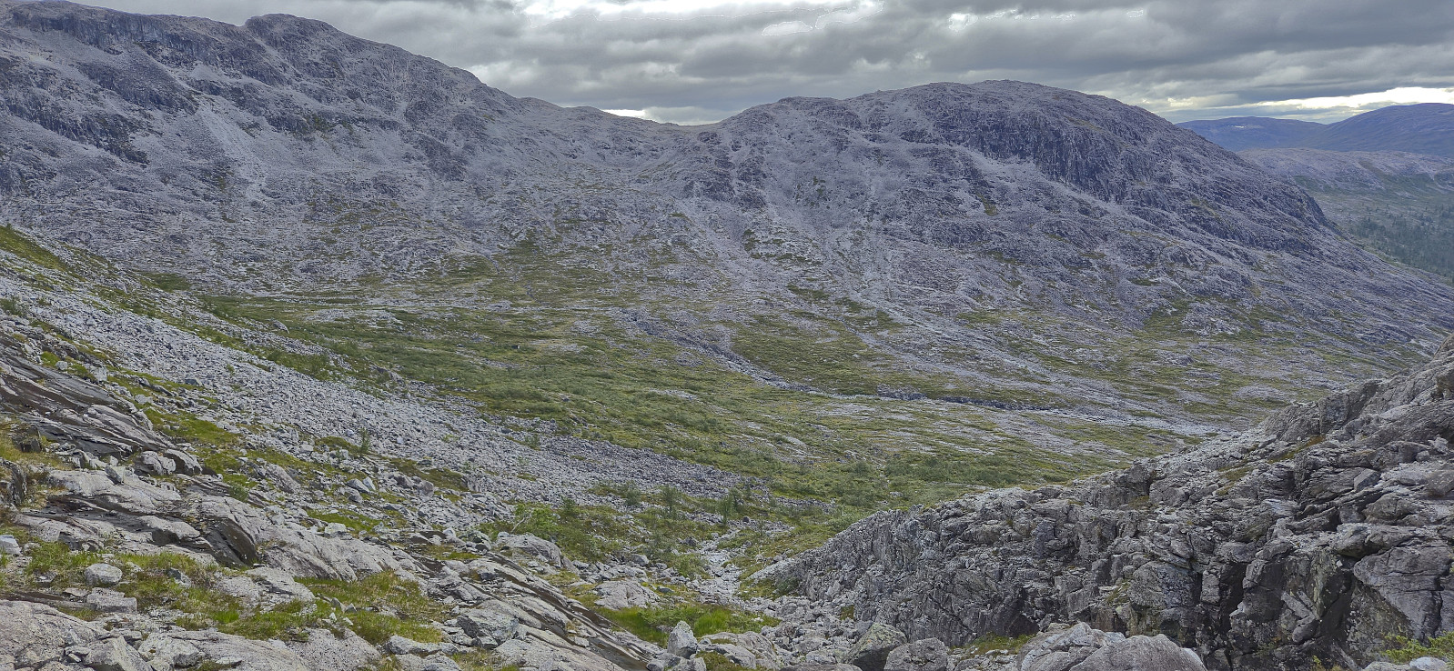
When getting to Øvstetuftene I was prepared to continue off-trail but came across a weak trail marked with white Montér-tape that I tried to follow. I quickly lost both trail and markers though and was left to finding my own way towards Øvsthusnipa. This was overall straightforward and I managed to avoid most of the unnecessary ascent along the way. I did make an exception for the false summit west of the real one, mainly as I had been looking up at it since passing south of Hetta.
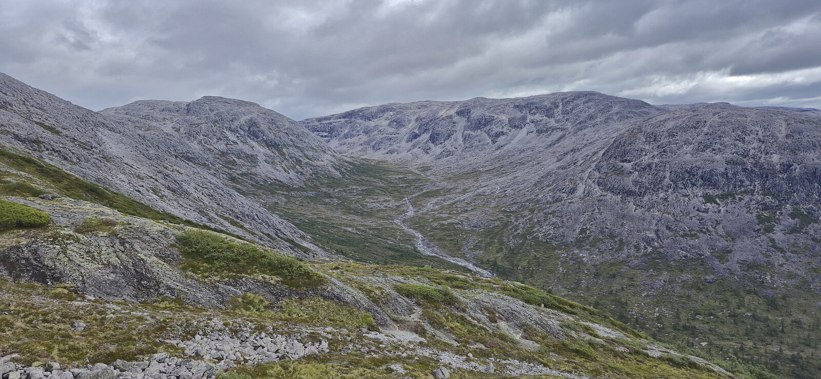
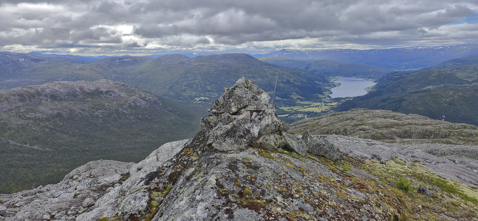
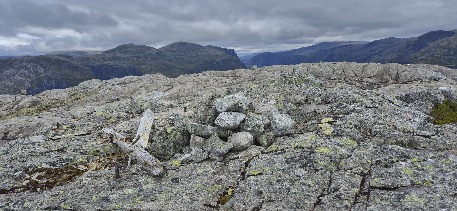
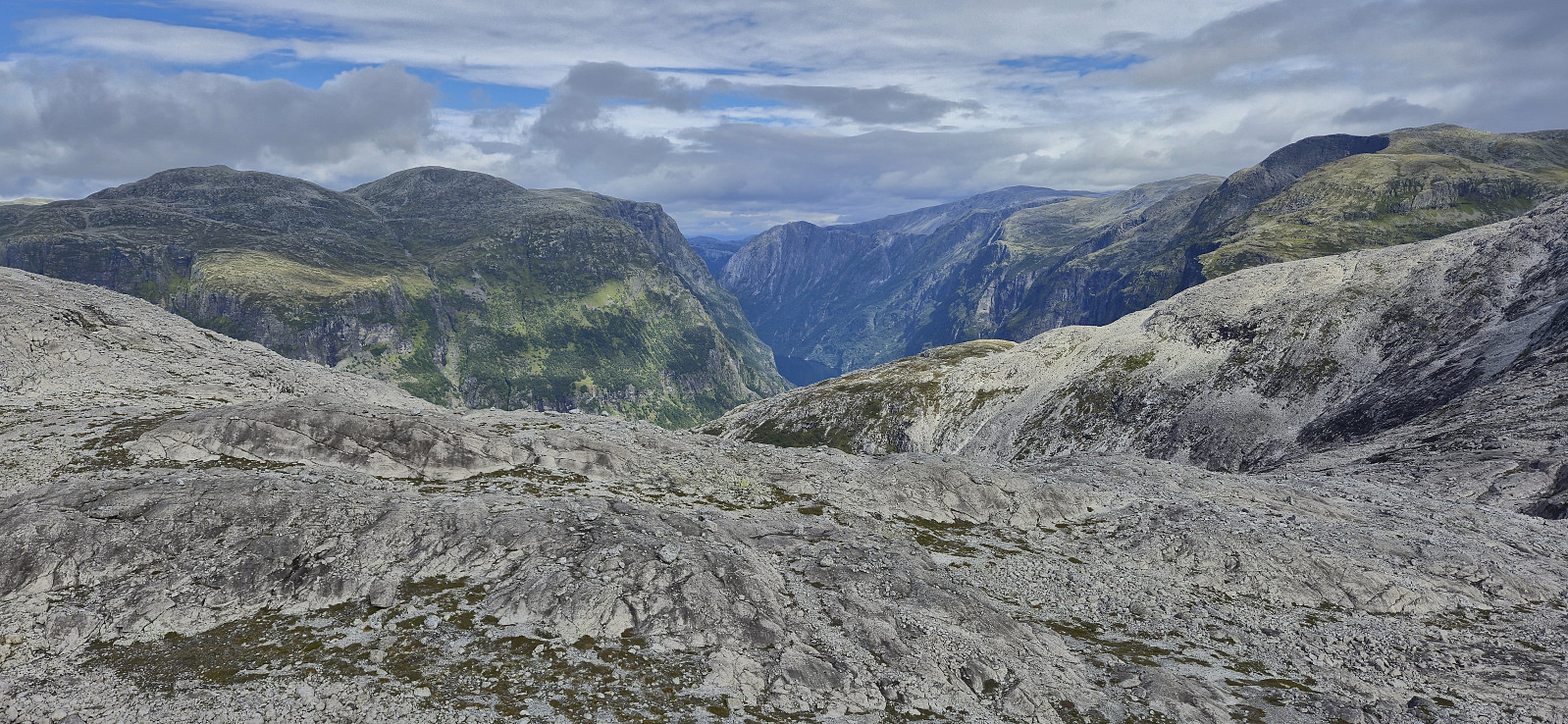
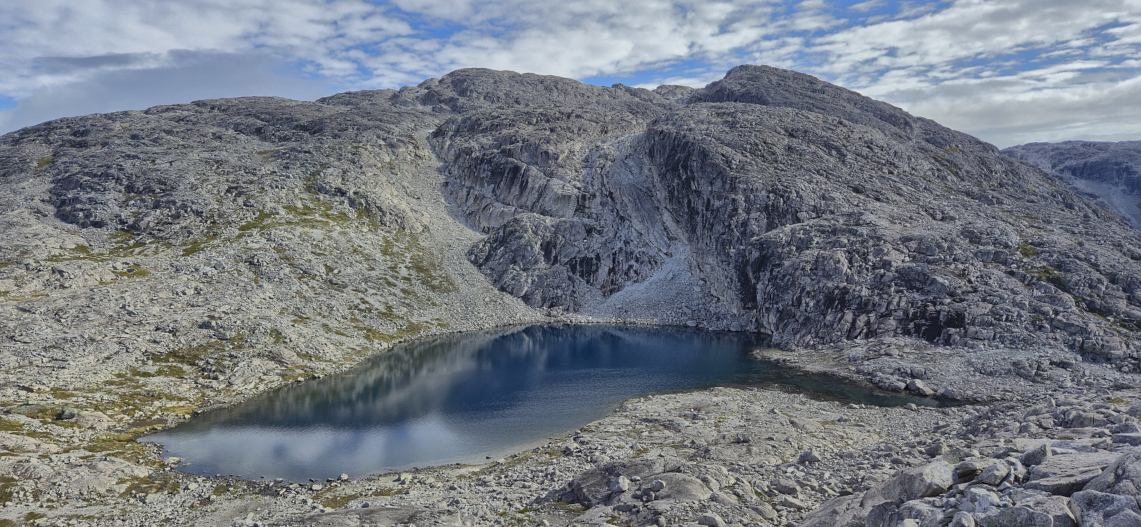
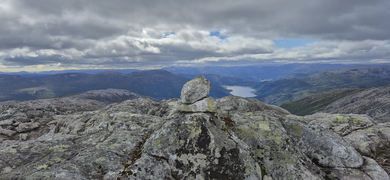
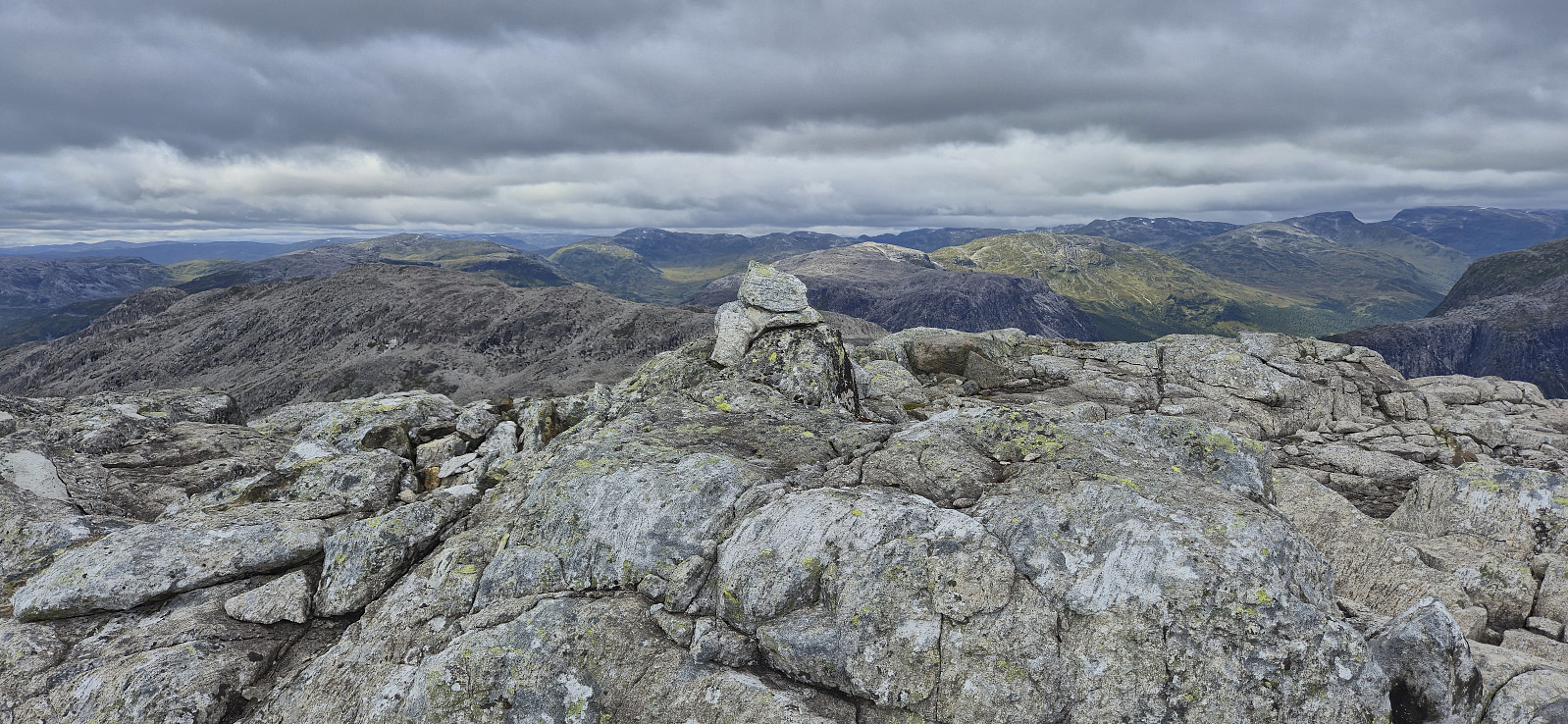
Just before getting to the real summit of Øvsthusnipa, there was a steep small valley that had to be carefully navigated. There were however small cairns showing the way and I could shortly start the final ascent. After a short break I continued northeast along the ridge before turning southeast and descending to the small unnamed lake northwest of Vest for Stangahøgdi.
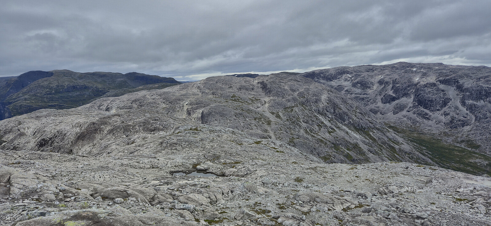
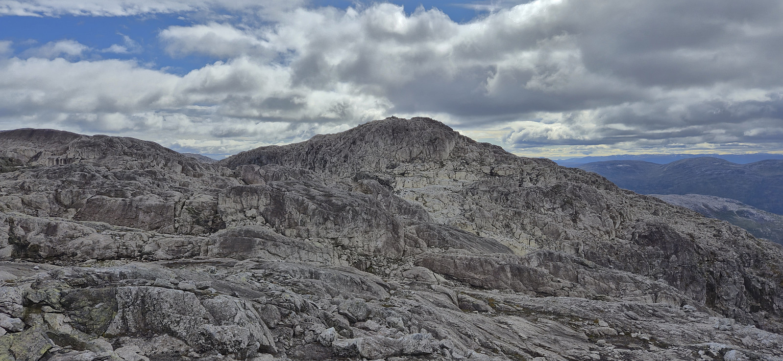
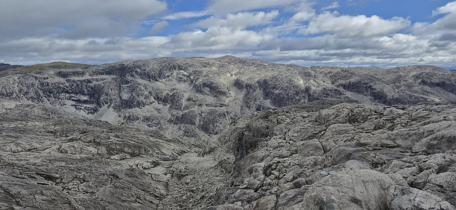
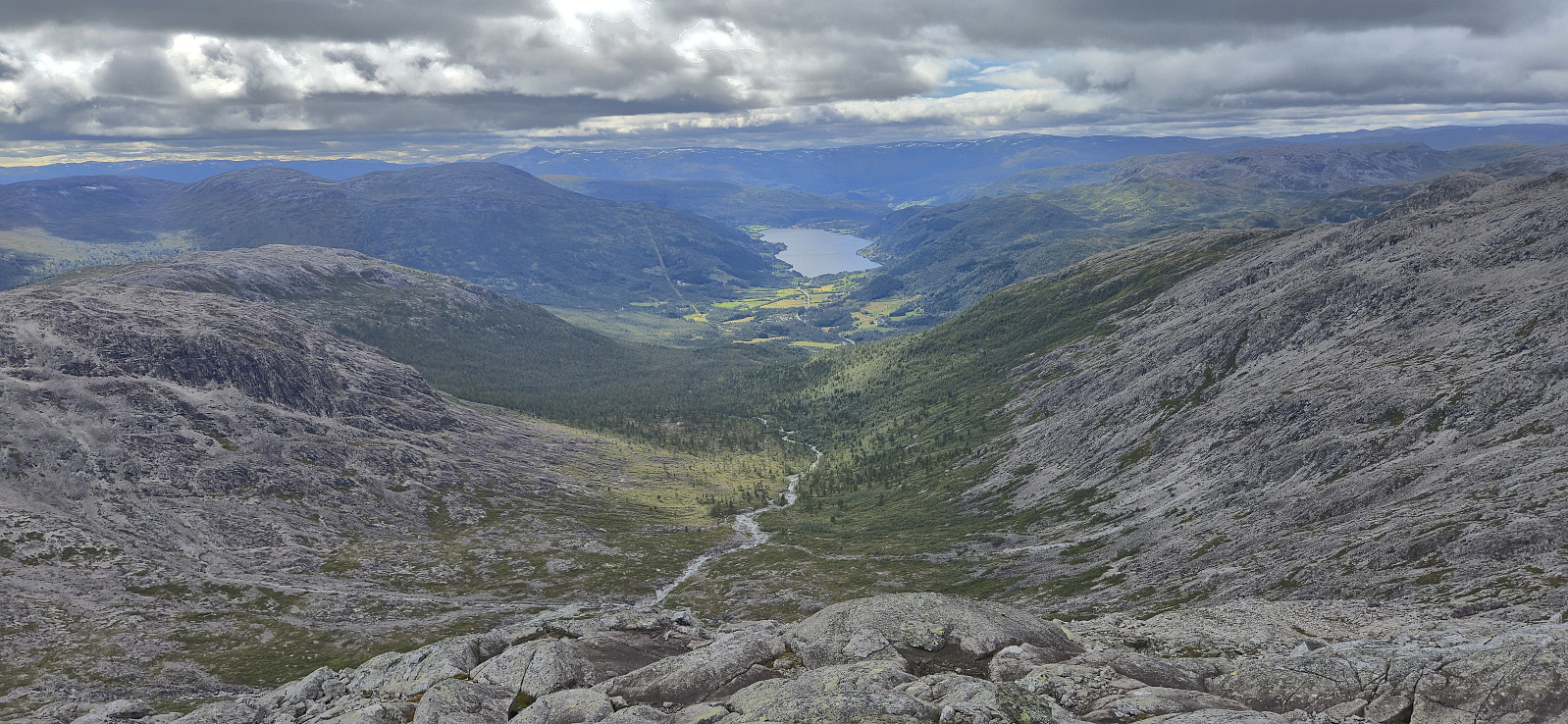
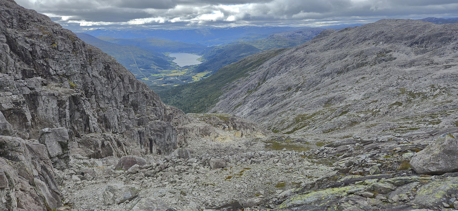
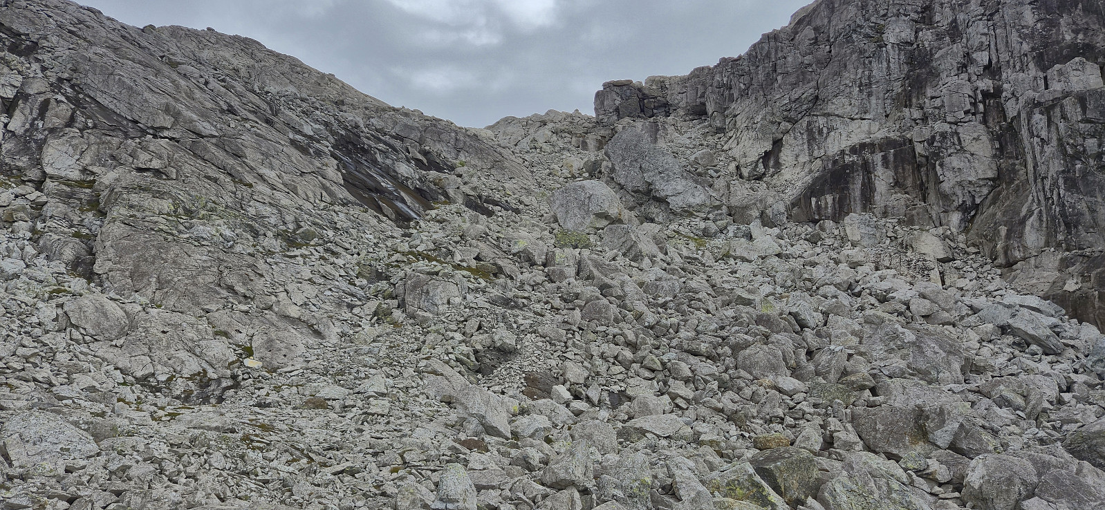
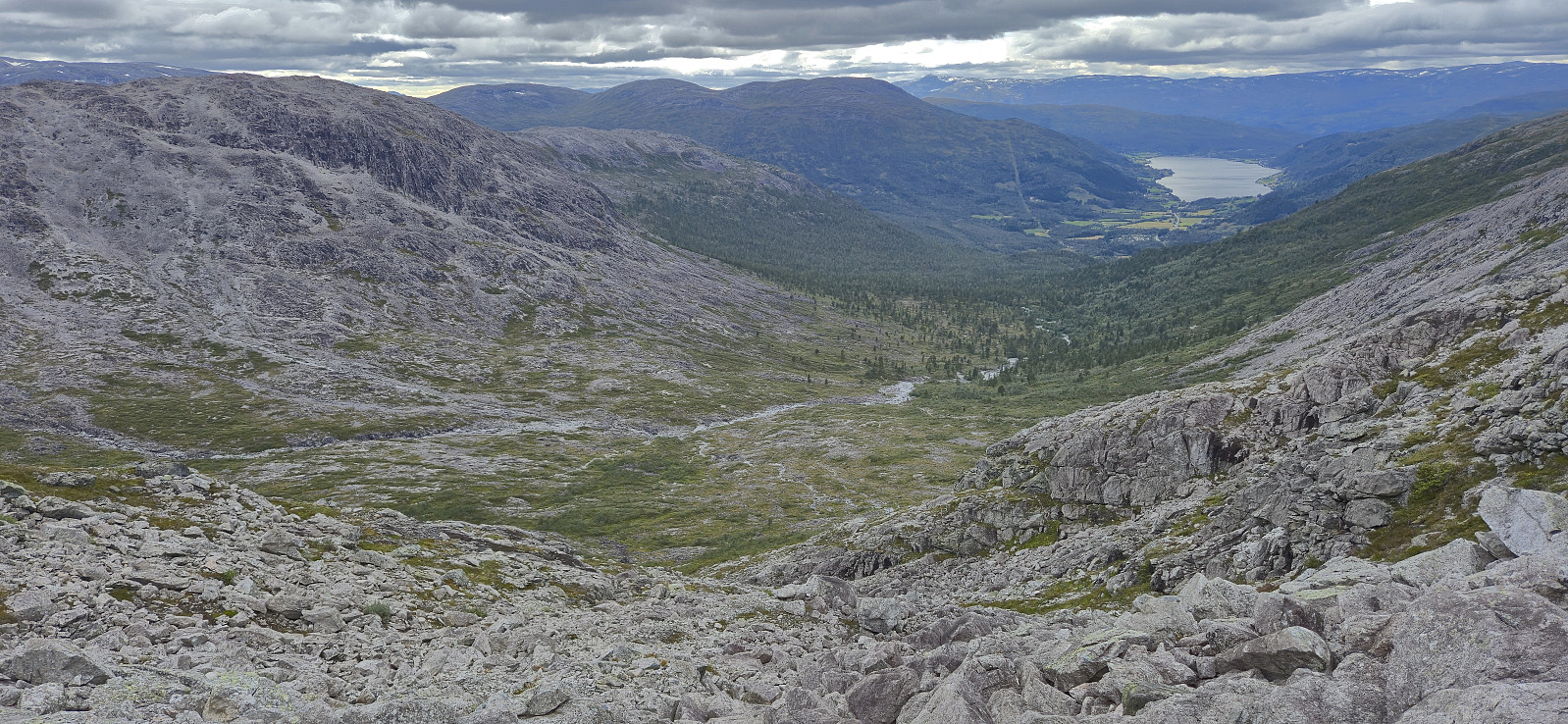
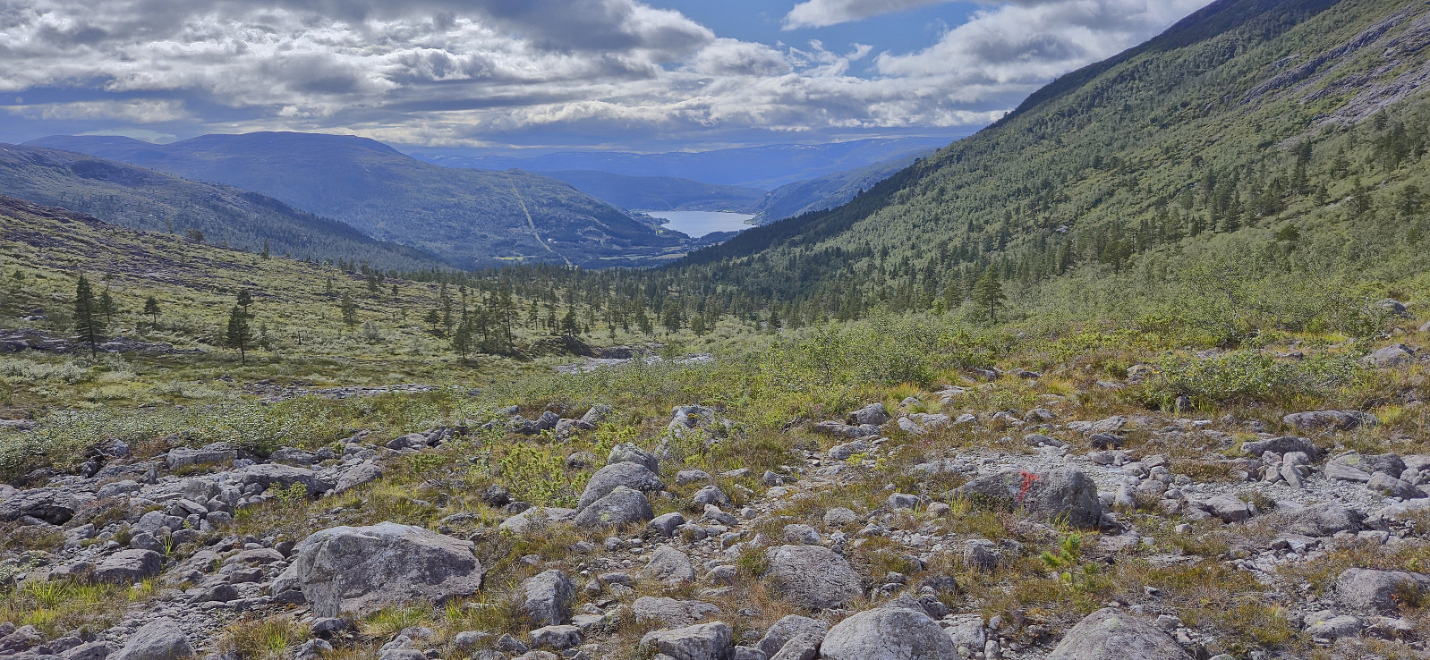
From the lake I easily ascended to north of the summit before turning south and completing the ascent, having to make a minor detour towards the end to avoid the steeper areas east of the summit. After a couple of pictures I started my descent into Øvsthusdalen to reconnect with the marked trail. Due to the terrain here mainly consisting of rocks of different shapes and sizes, lots of patience was needed to make it past the upper half without incidents. From there on it was straightforward to get to the trail.
All that was left was then to follow the marked trail back to Øvsthus and then backtrack my ascent route to the bus stop. Unlike last weekend, where I just barely managed to get to the train station on time, I now had plenty of time, and even though I tried to take it slow, I still ended up waiting around 30 minutes before the bus arrived to take me back to Voss for the train home to Bergen.
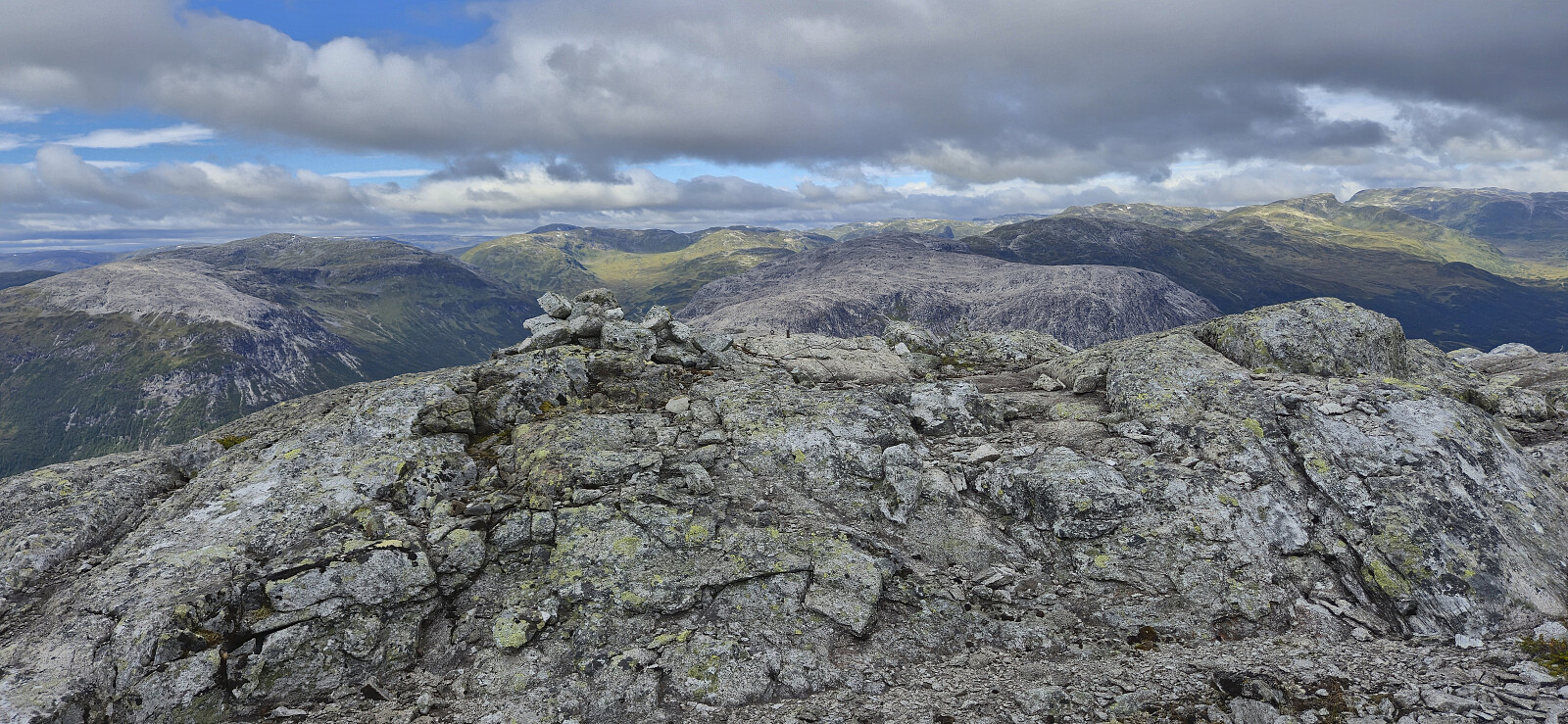
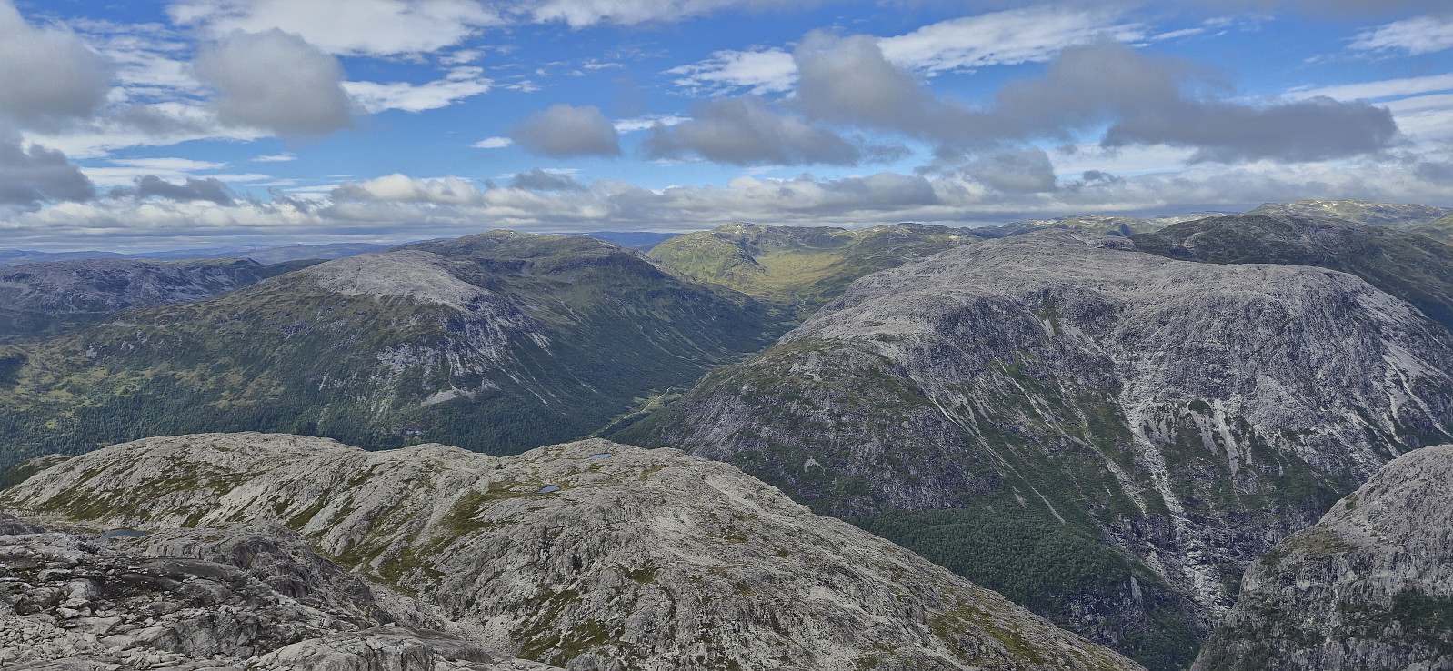
In summary, a hike via Øvsthusnipa and Vest for Stangahøgdi can definitely be recommended and provided excellent views. It does however include a fair bit of off-trail hiking, and especially the descent into Øvsthusdalen may not be to everyone's liking. But it is of course possible to instead follow the ascent route in both directions. Or perhaps continue east and connect with the marked trail near Stangahøgdi?

| Startzeitpunkt | 23.08.2025 11:13 (UTC+01:00 SZ) |
| Endzeitpunkt | 23.08.2025 17:25 (UTC+01:00 SZ) |
| Gesamtzeit | 6h 12min |
| Zeit in Bewegung | 5h 35min |
| Pausenzeit | 0h 36min |
| Gesamtschnitt | 2,5km/h |
| Bewegungsschnitt | 2,8km/h |
| Entfernung | 15,7km |
| Höhenmeter | 1.239m |


Benutzerkommentare