
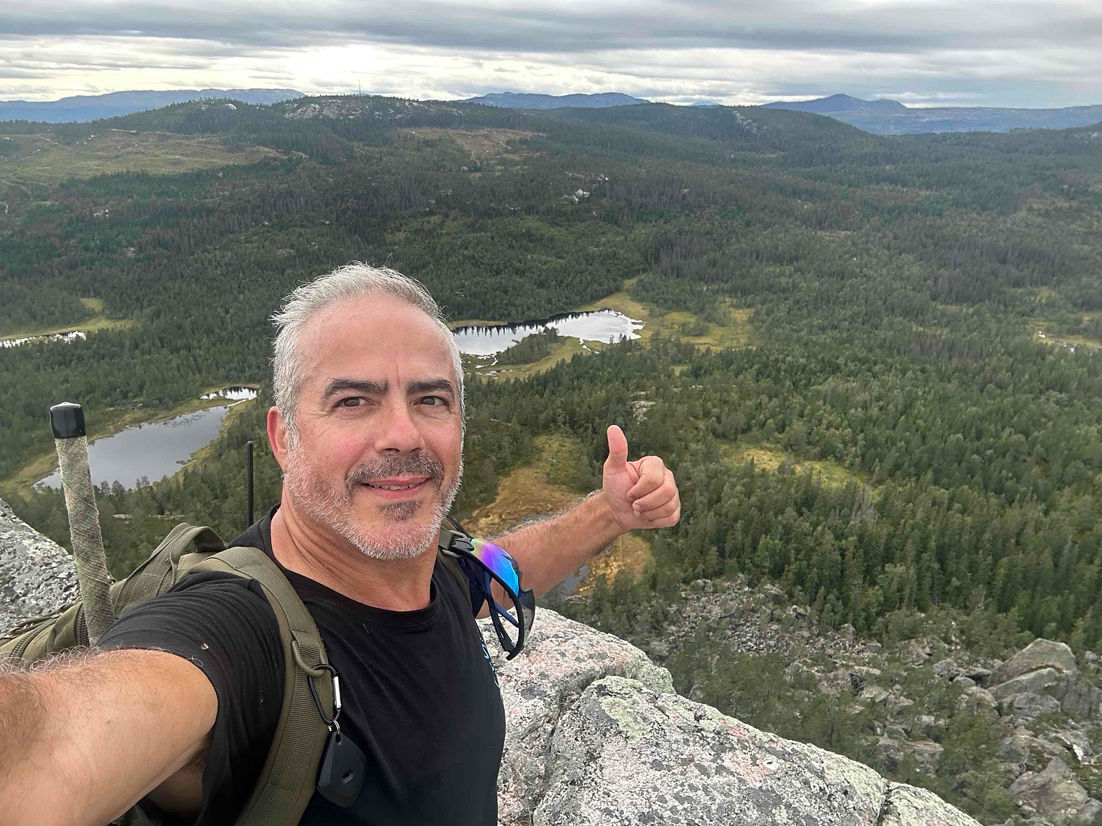
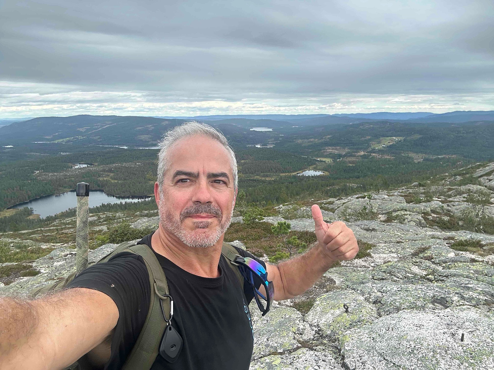
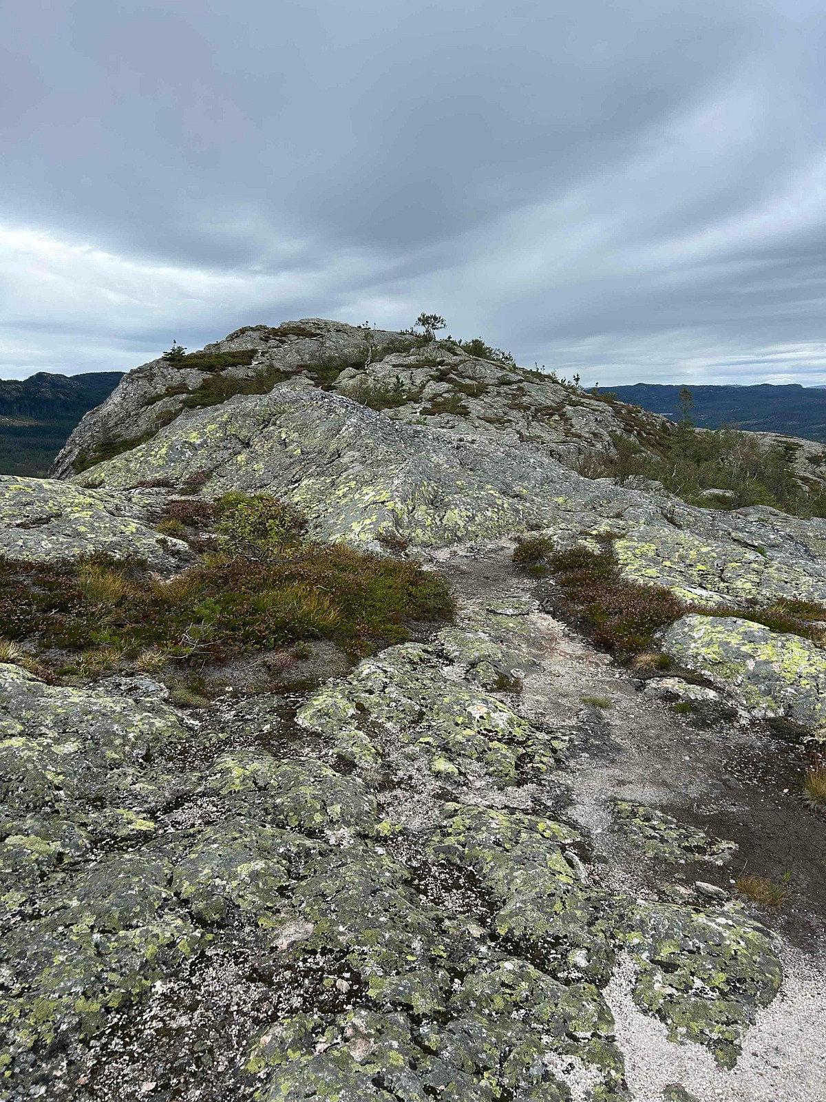
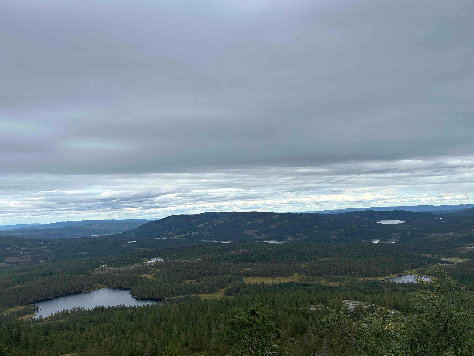
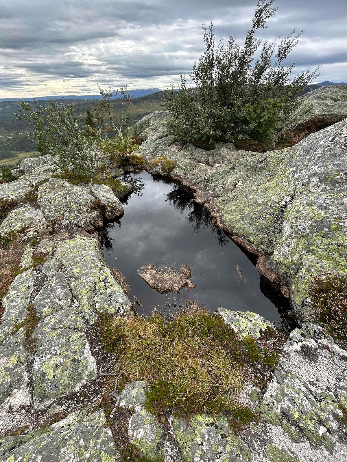
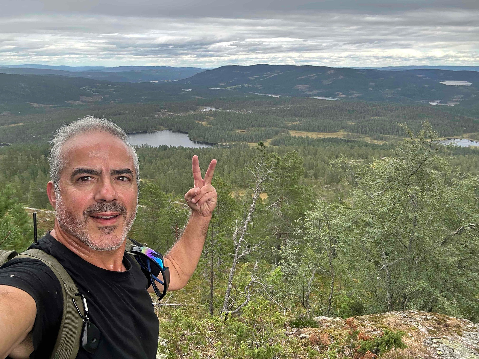
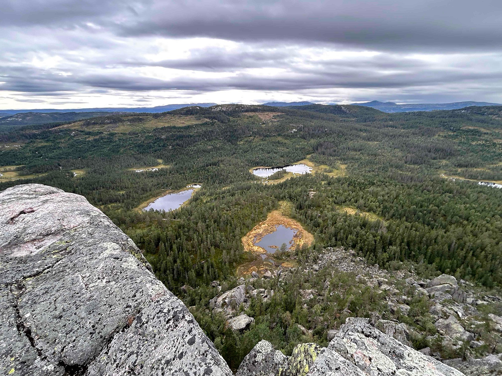
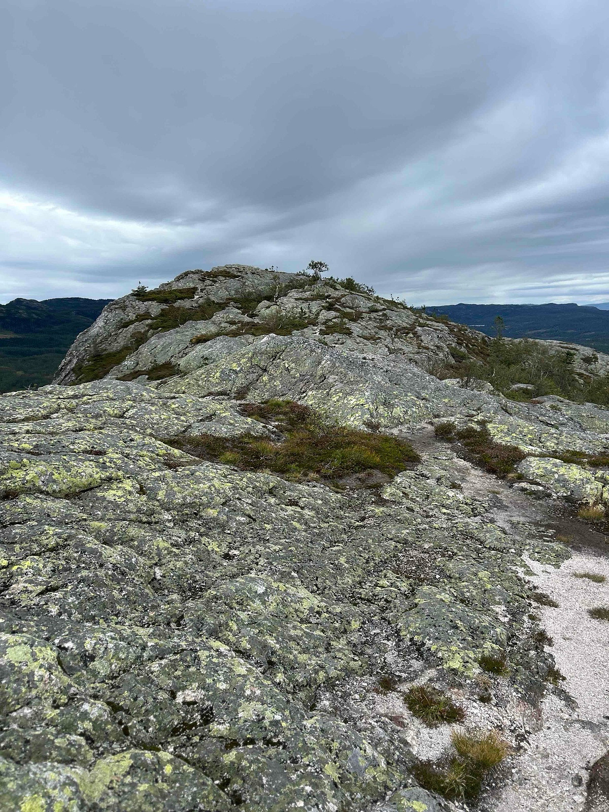
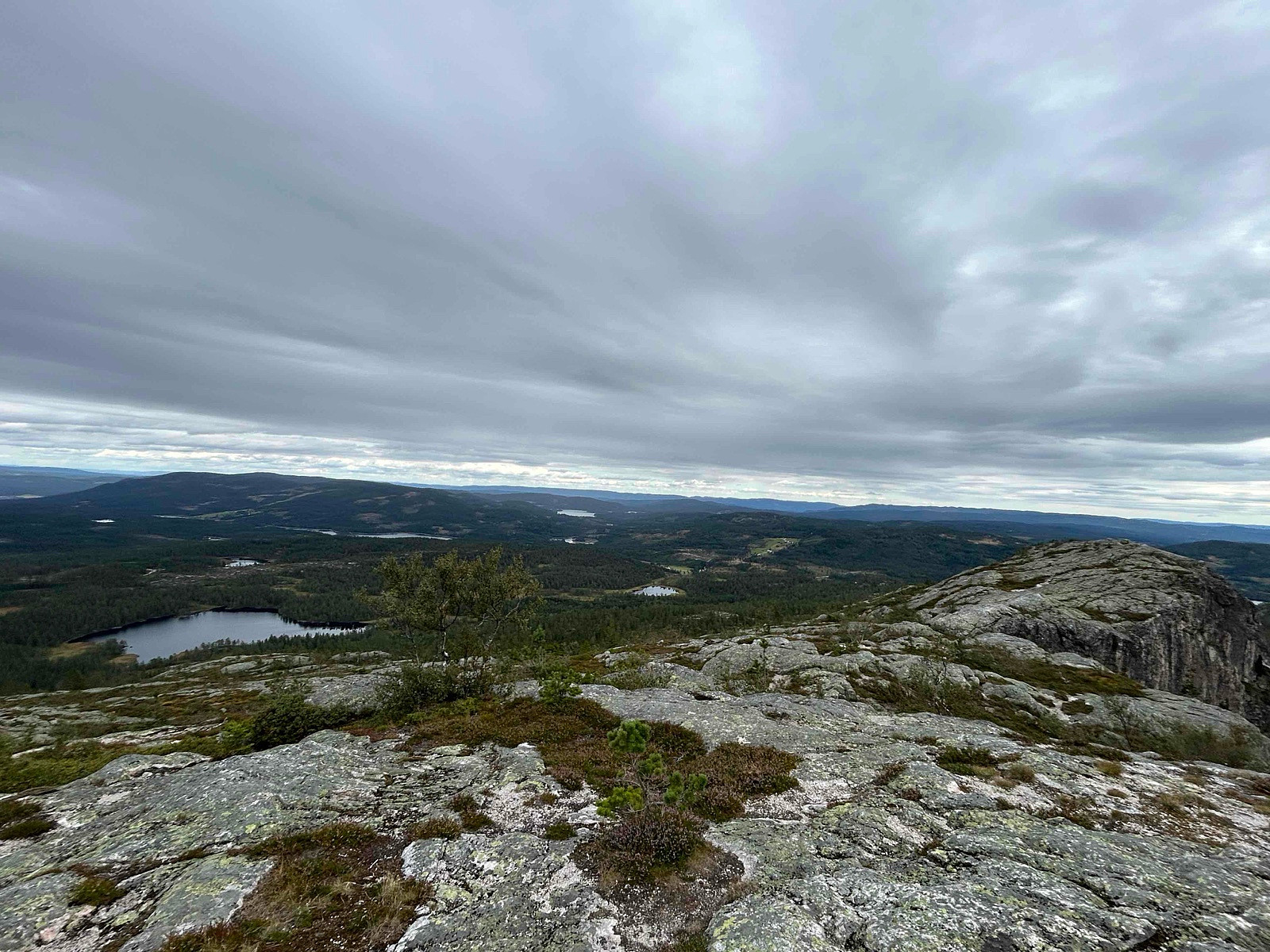
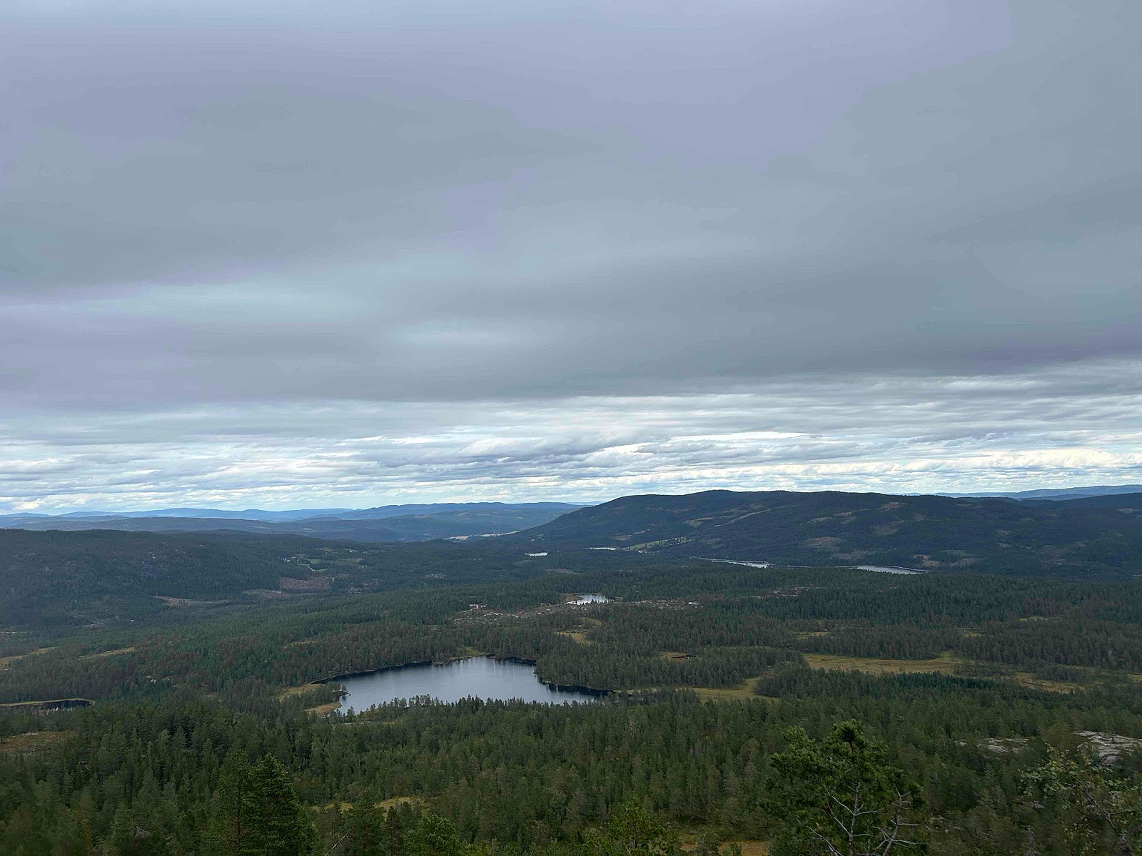
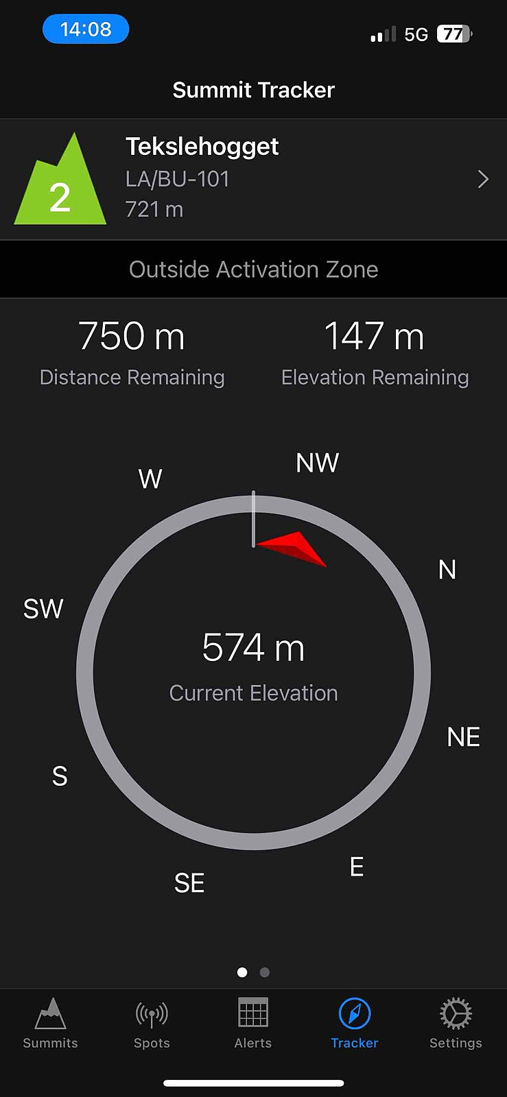
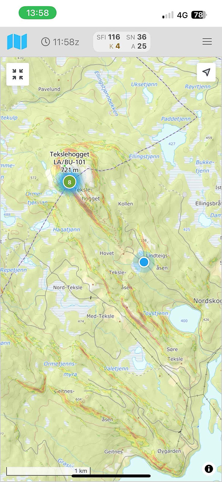
LA/BU-101 Tekslehogget 721 moh (20.08.2025)


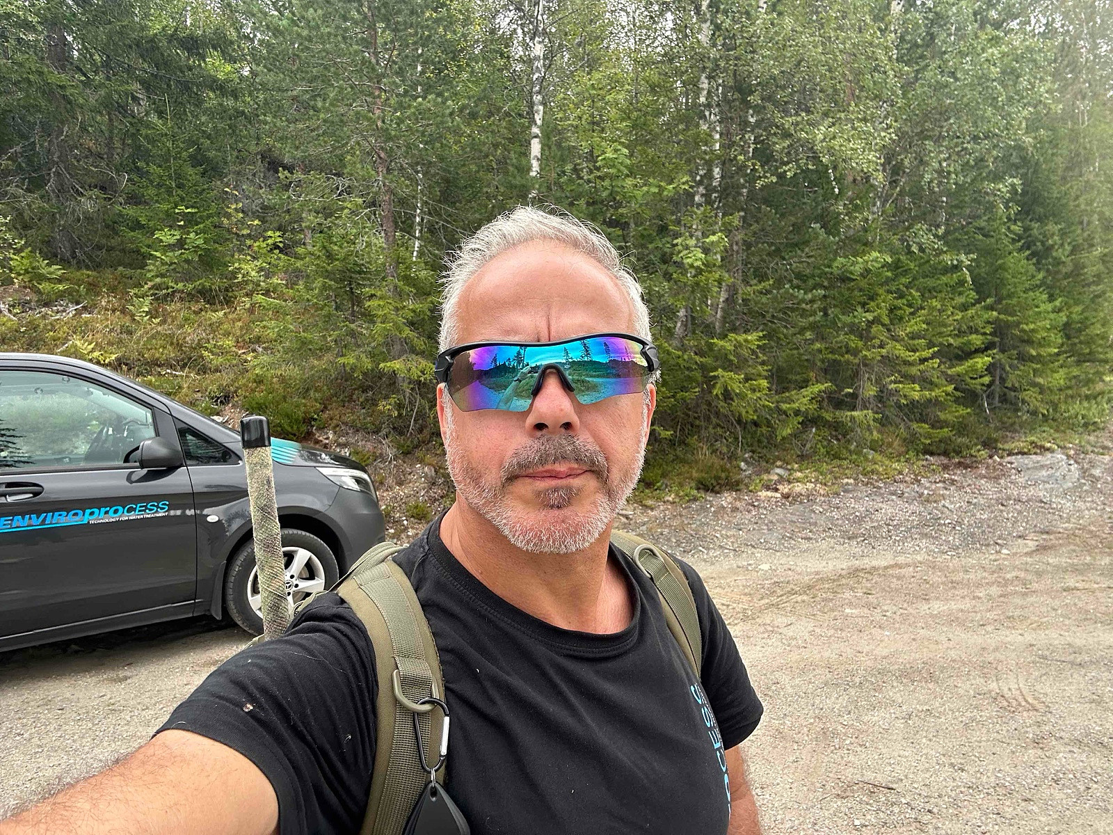
Skrevet av LA9PJA (Carlos Ferreira)

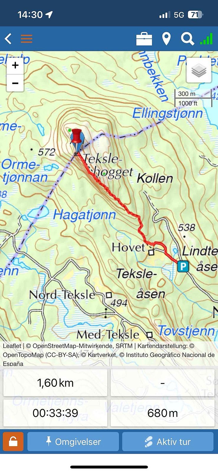
| Startsted | Parkering (443moh) |
|---|---|
| Sluttsted | Toppen (680moh) |
| Turtype | Ekspedisjon |
| Turlengde | 0t 34min |
| Distanse | 1,6km |
| Høydemeter | 240m |
| GPS |
|
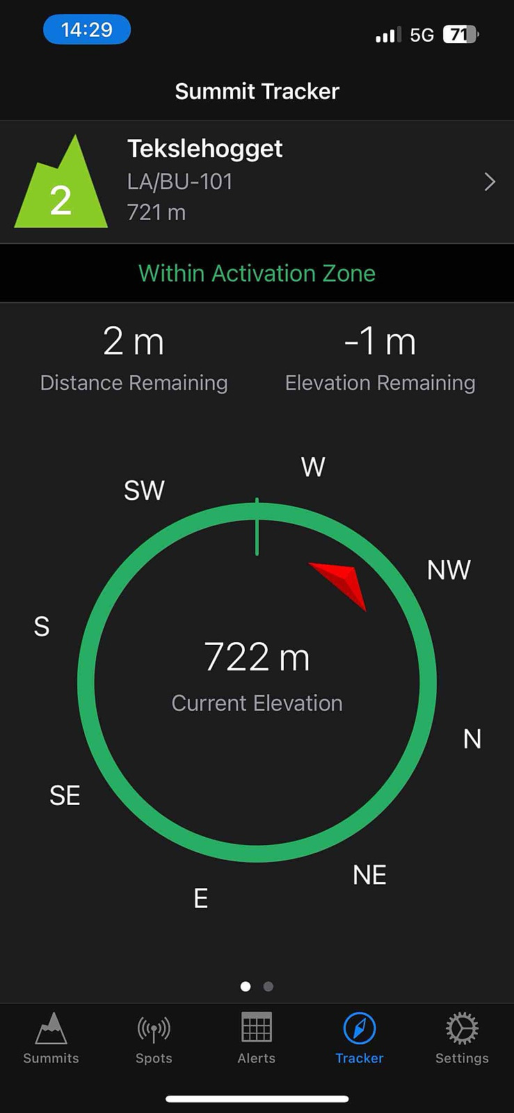
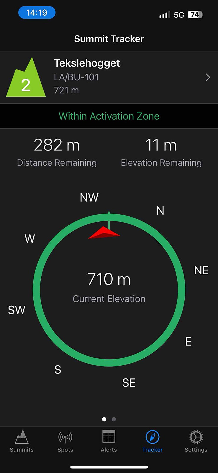
| Bestigninger | Tekslehogget (721moh) | 20.08.2025 14:28 |
|---|---|---|
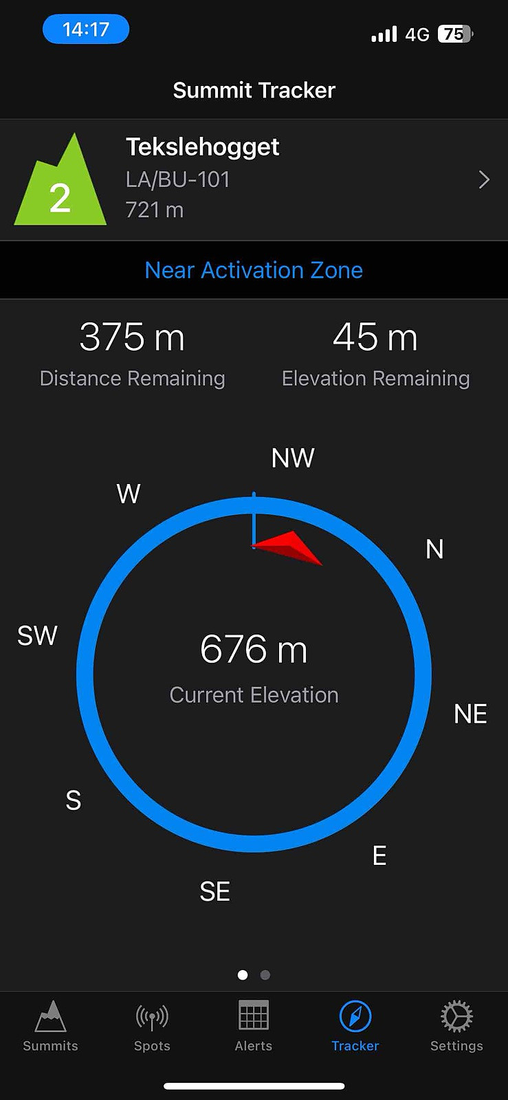
| Andre besøkte PBE'er | Parkering Tekslehøgget (486moh) | 20.08.2025 13:57 |
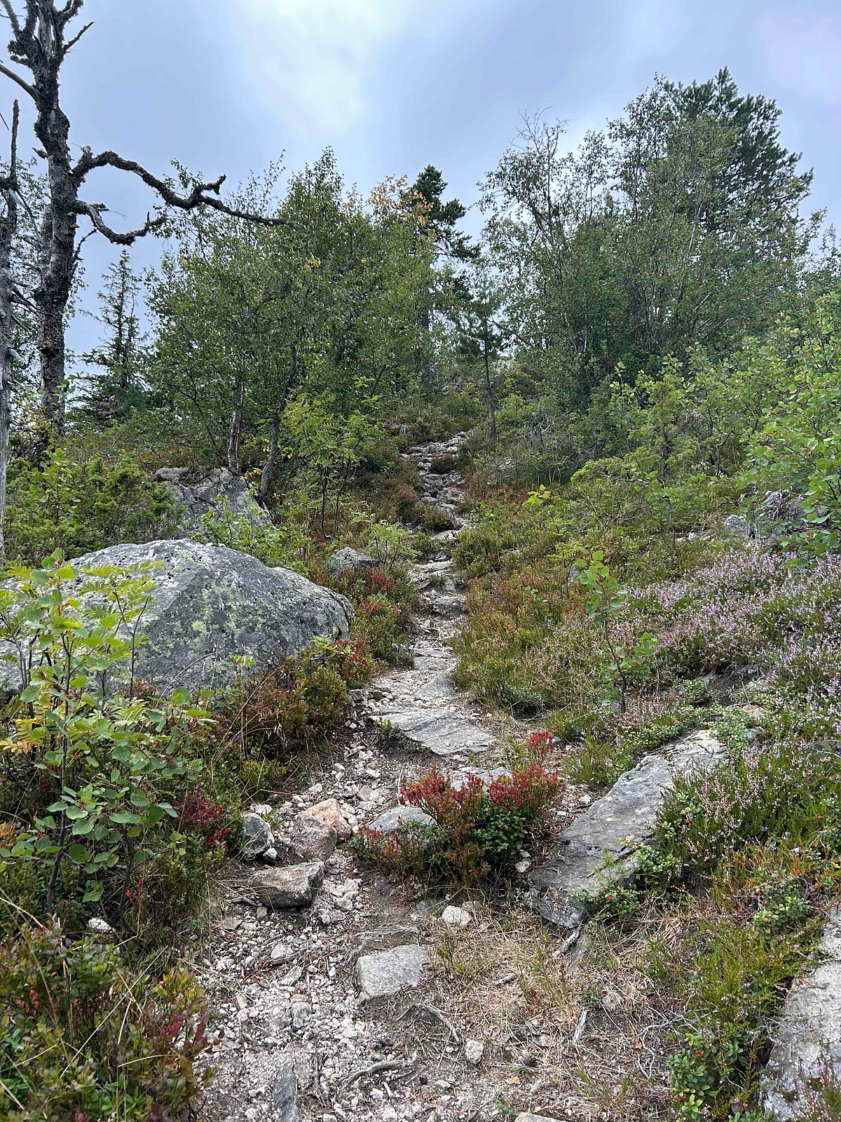
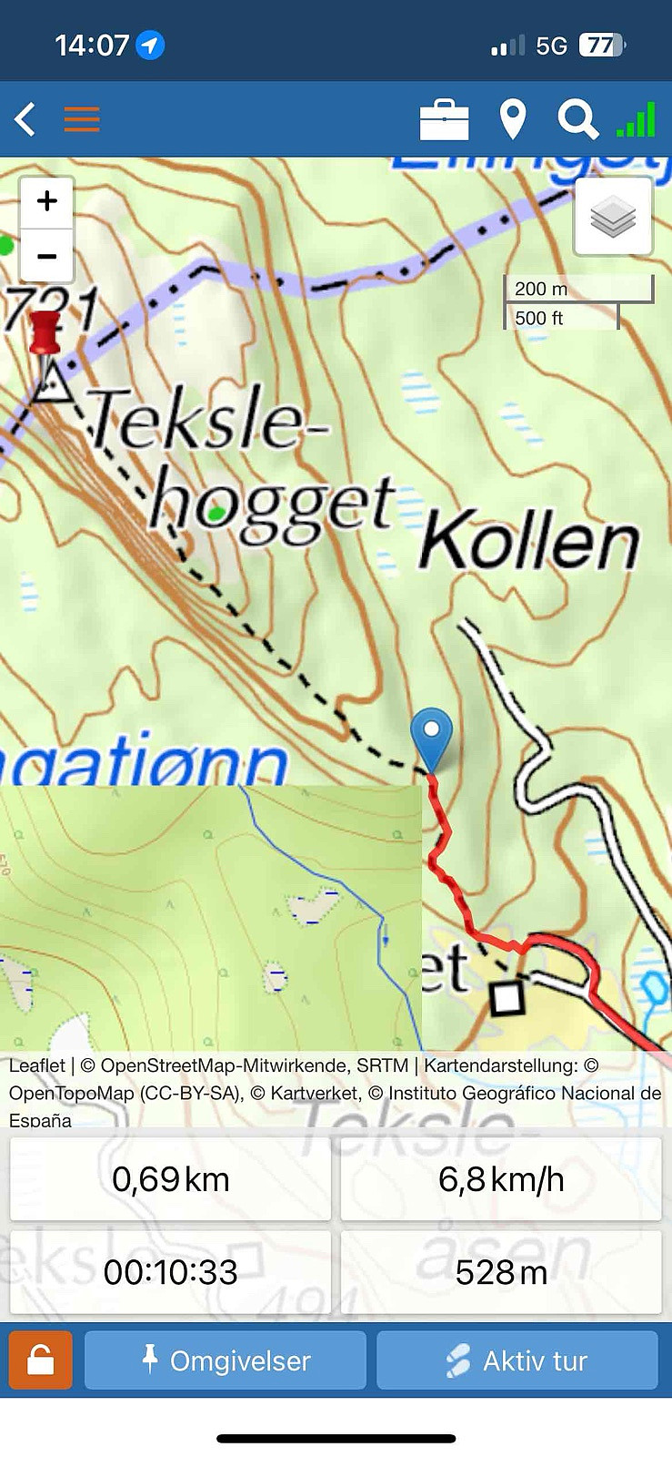
It looks like there are several ways to get to the summit, probably driving further the road up and parking at the end and go over the other top to the summit. I decided to go for the safer one and most used by other trakers (Not SOTA related) that I found online, most used this track.
For some reason my Garmin clock Track GPS file up, got corrupted, seems never got saved, luckly I have found GPS file from another app I had activated.
Distance: abt 3 km t/r
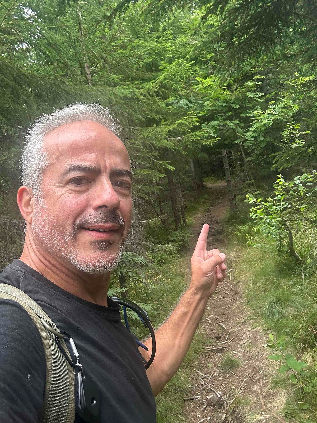
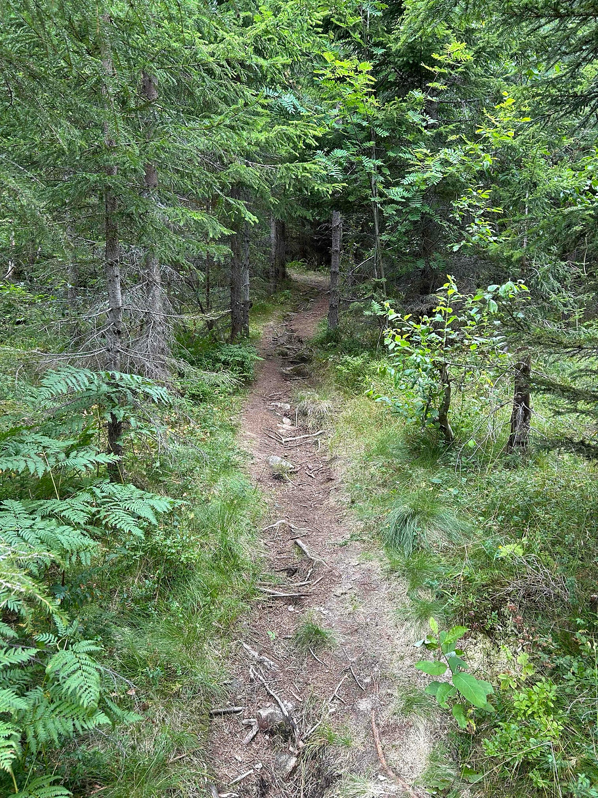
Start: Tekslehogget parking.
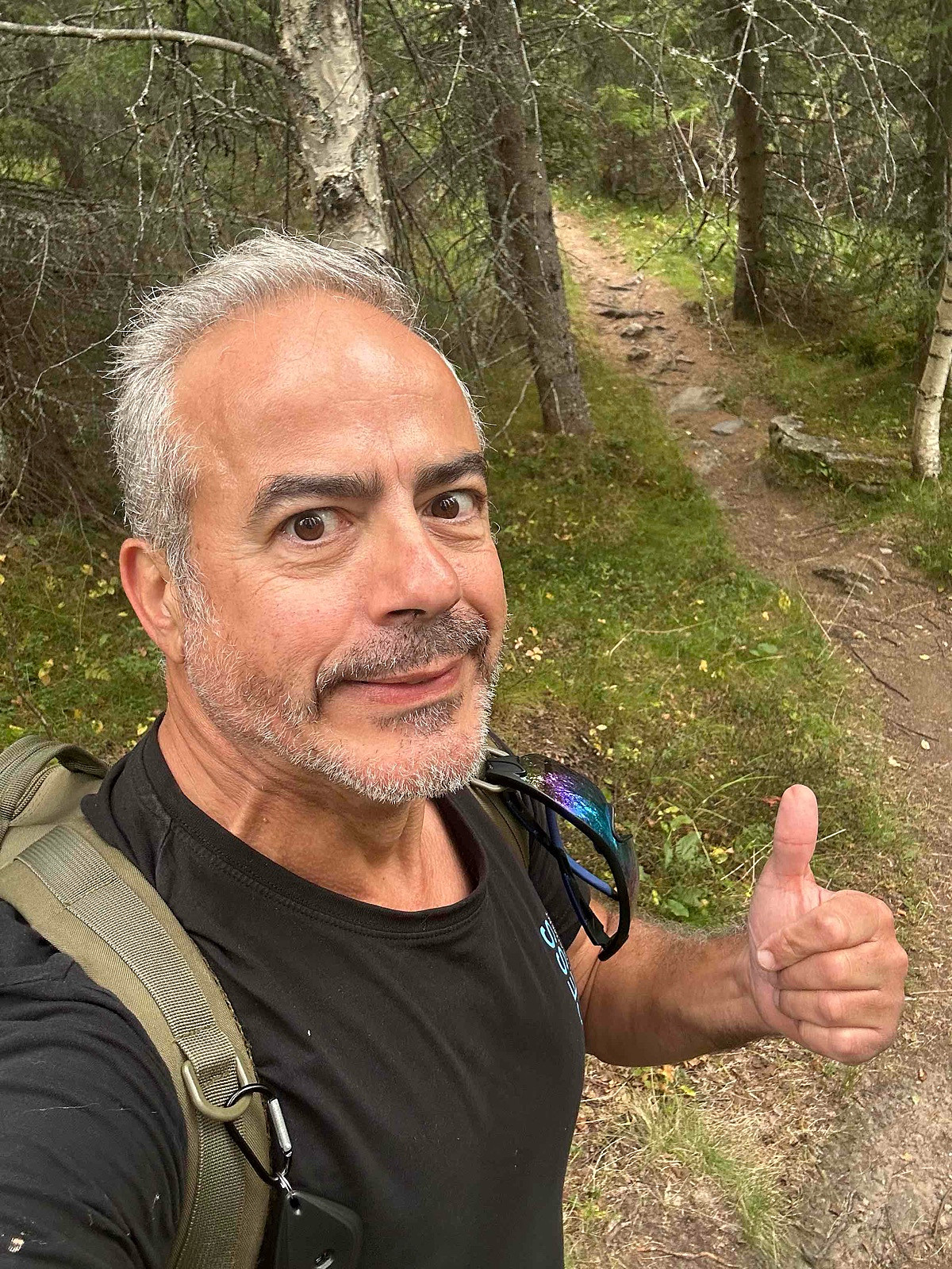
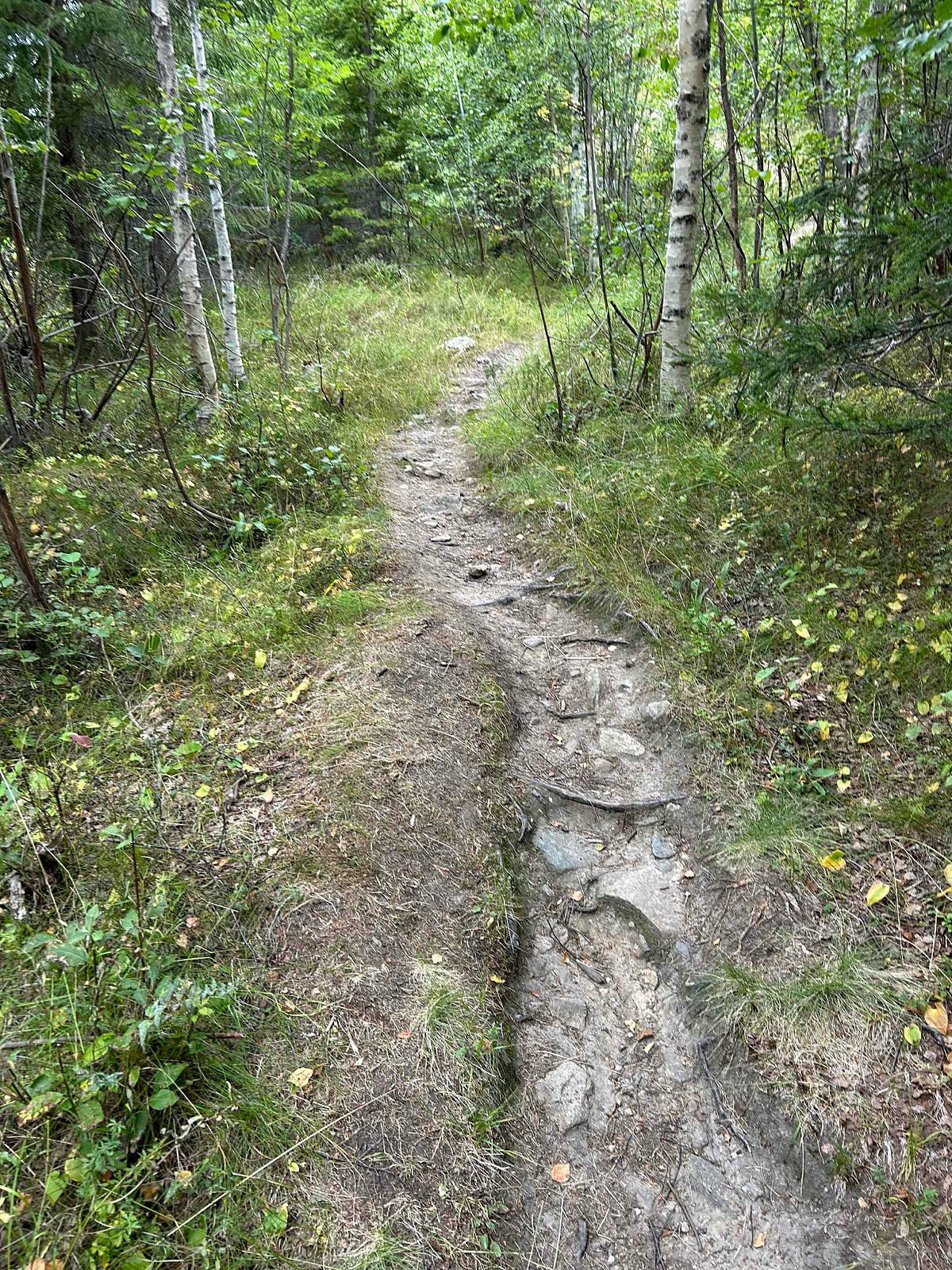
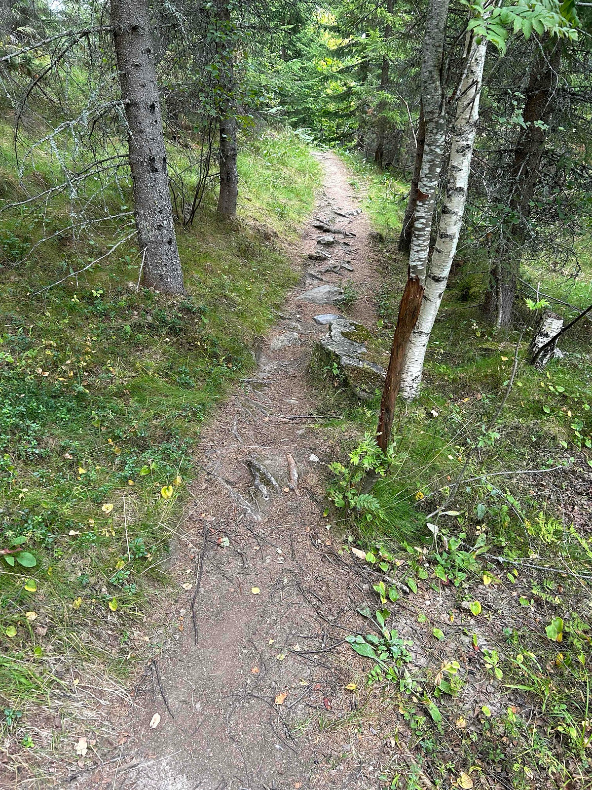
Summer: Bike / Walk -> Hike up to summit.
Winter: Skiis / Snowshoes -> Yes snowshoes and boots with crampons when is a lot of ice.
Tollroad/Bom: 50 kr (2025)
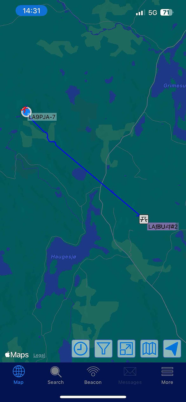
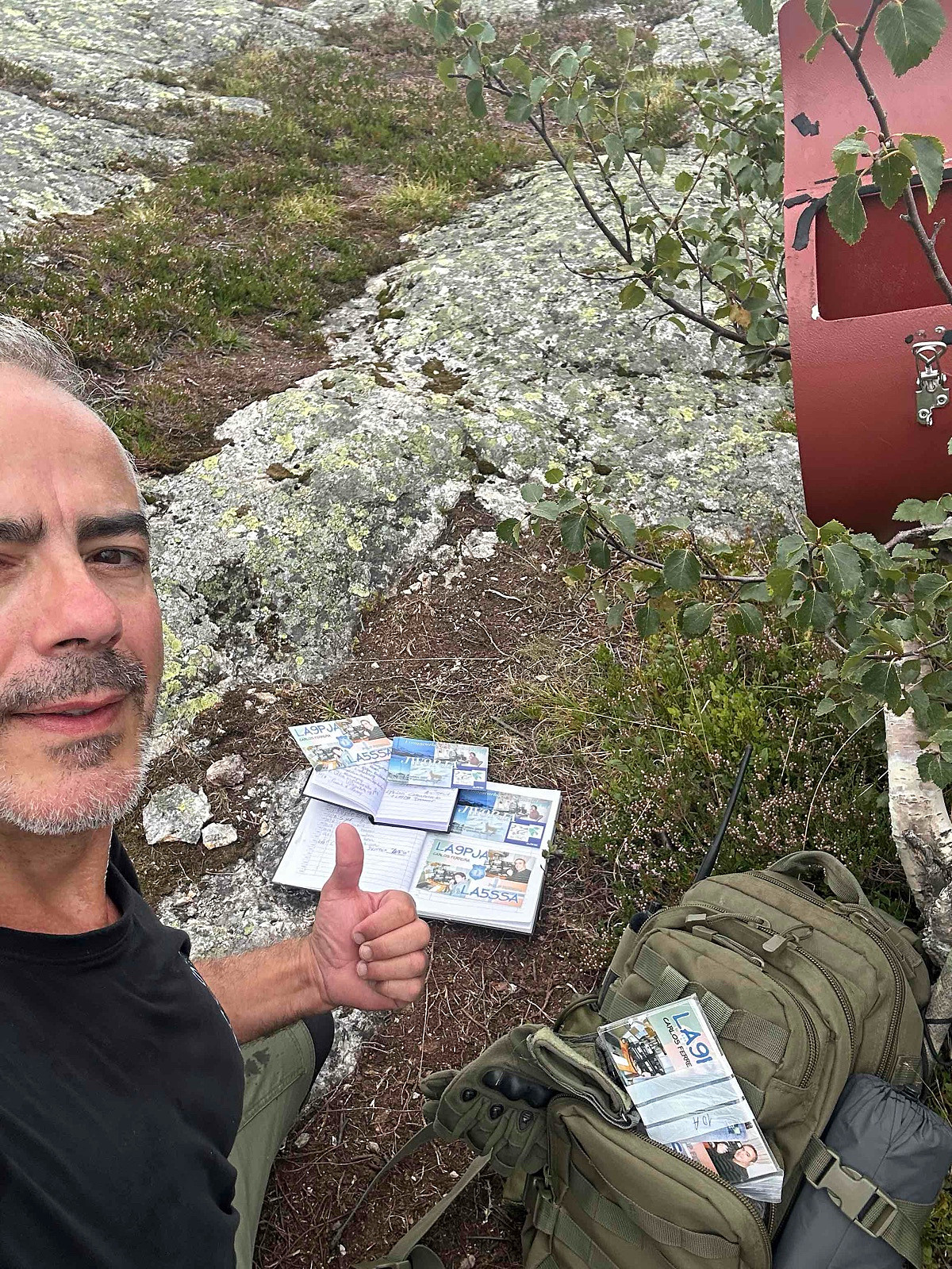
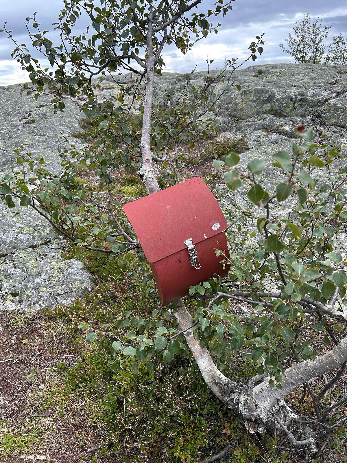
Equipment: KX3 15w & 1/4~wave Vertical (APRS LA9PJA-7/LA9PJA-9)
Apps / Resources: SOTA Goat, SOTLAS, PeakBook, APRS.FI, QTHnow / POTA, POTA-MAP.fr, AllTrails
- - -
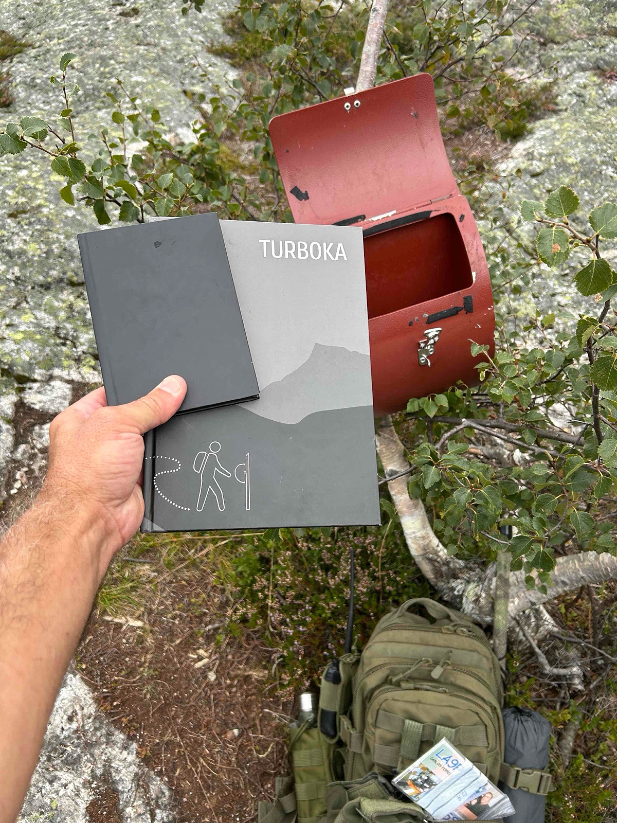
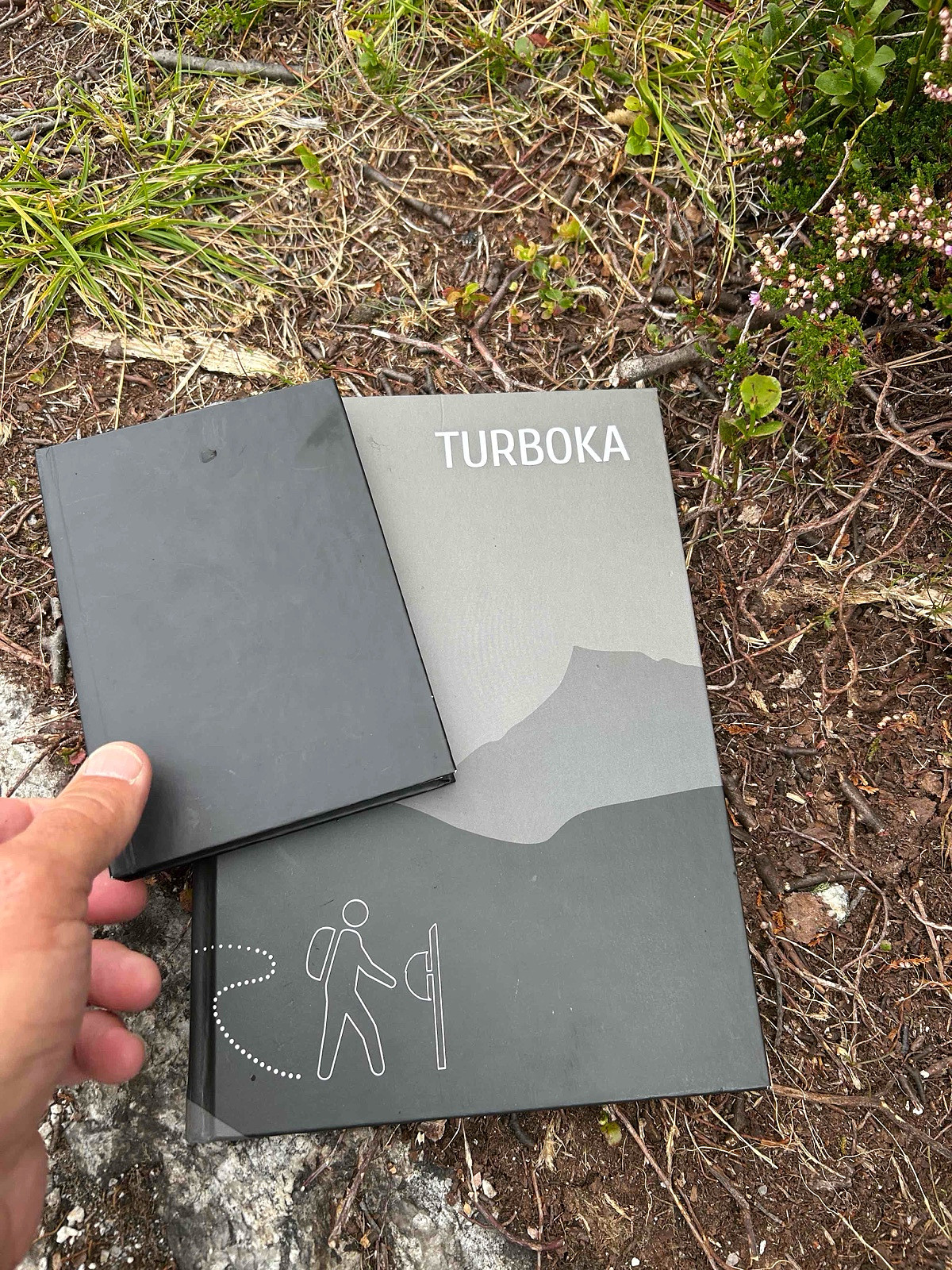
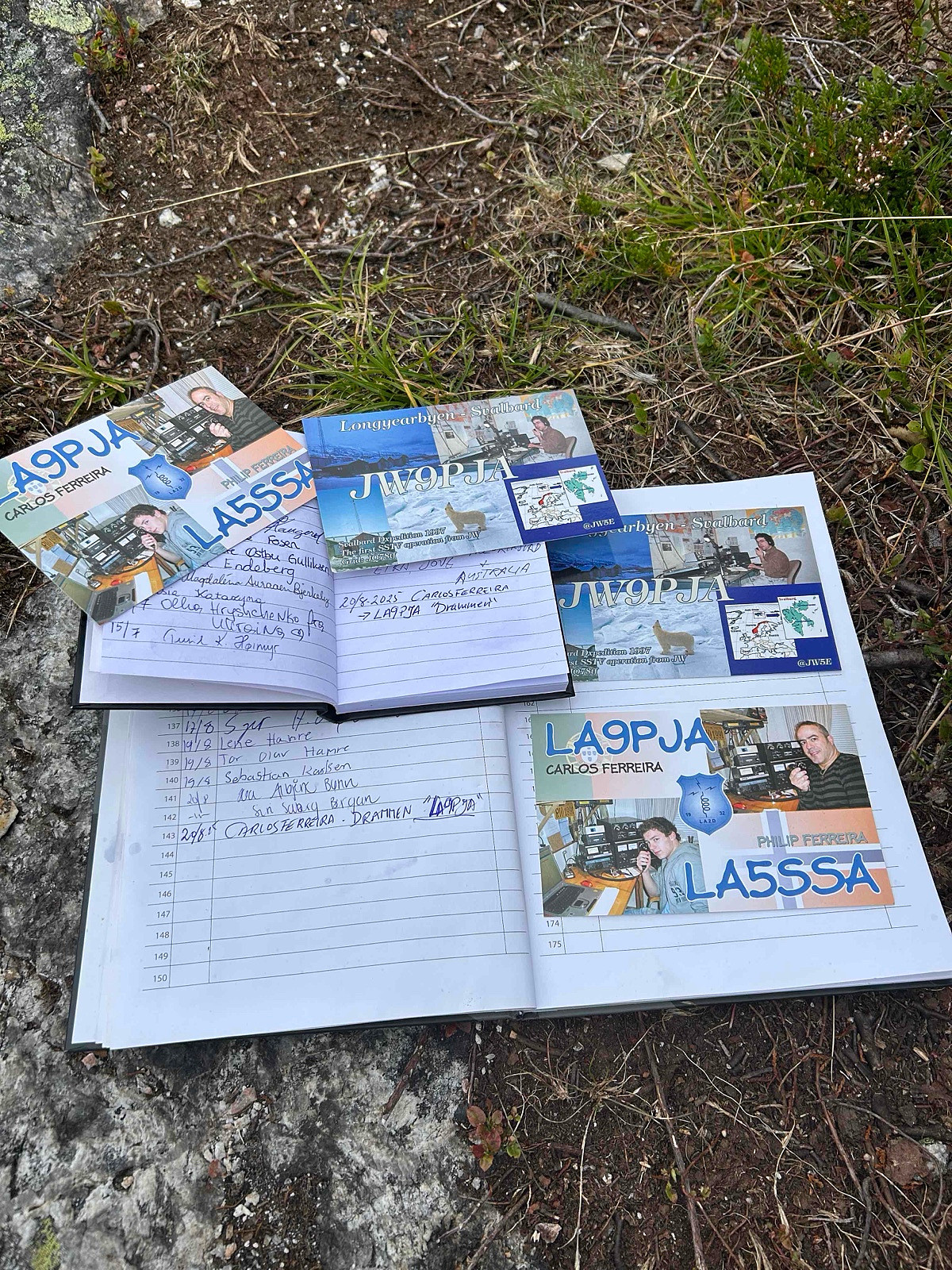
Photos & Track: Courtesy of LA9PJA :)


Kommentarer