
Helleberget from Rindabotn (11.07.2025)

Written by hbar (Harald Barsnes)

| Start point | Rindabotn p-plass (595m) |
|---|---|
| Endpoint | Rindabotn p-plass (595m) |
| Characteristic | Hillwalk |
| Duration | 2h 55min |
| Distance | 7.6km |
| Vertical meters | 443m |
| GPS |
|
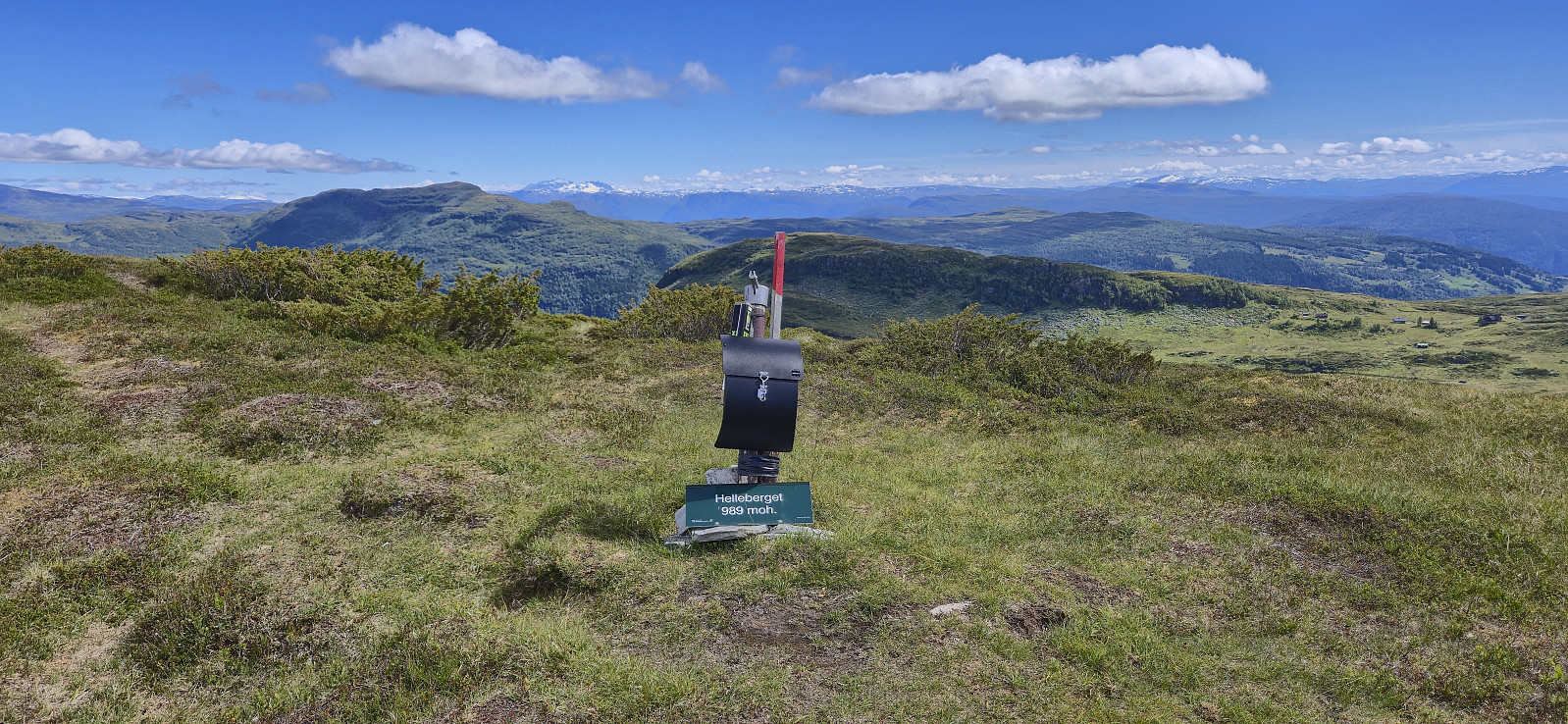
| Ascents | Helleberget (988m) | 11.07.2025 12:50 |
|---|---|---|
| Visits of other PBEs | Rindabotn p-plass (595m) | 11.07.2025 11:11 |
Helleberget from Rindabotn
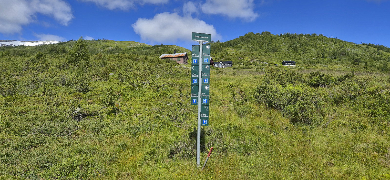
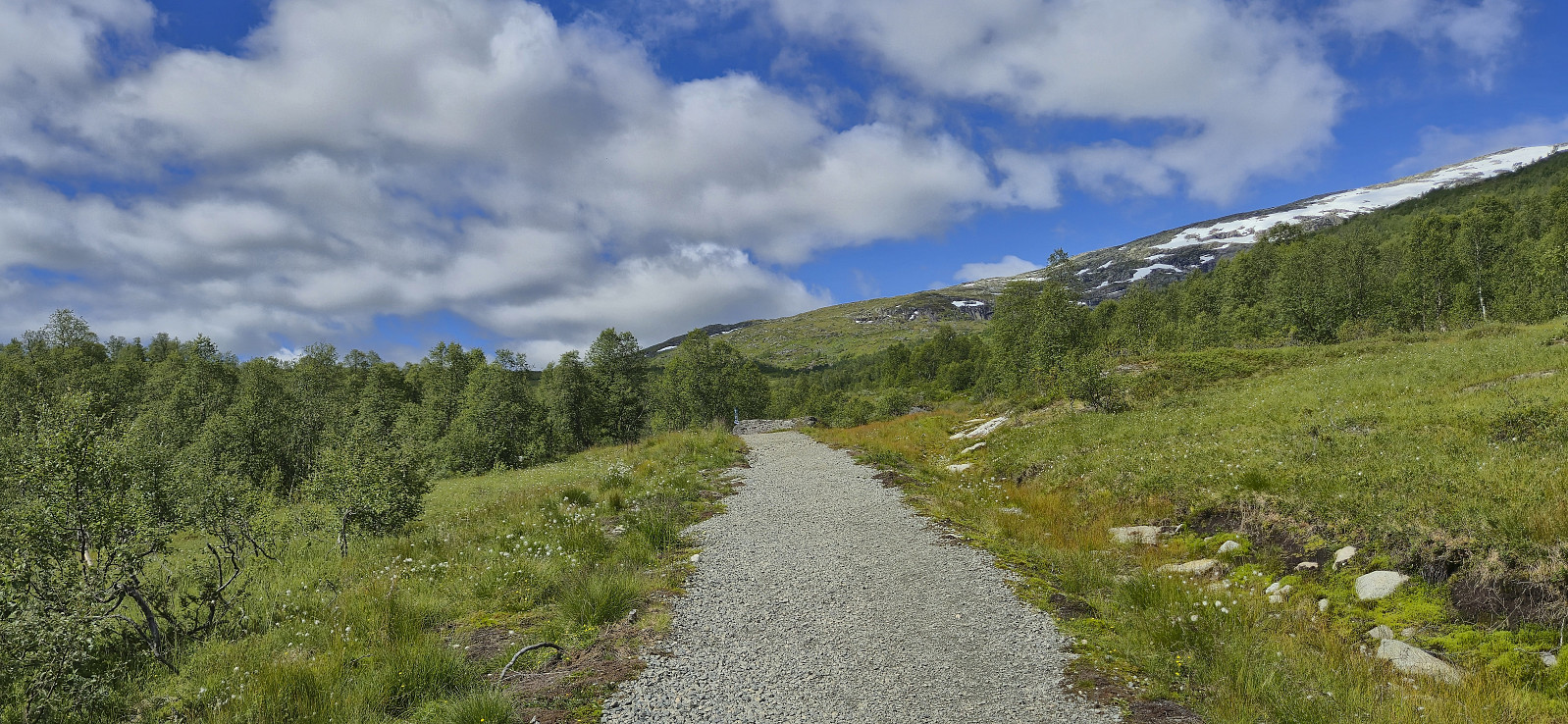
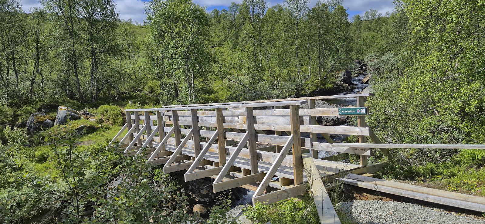
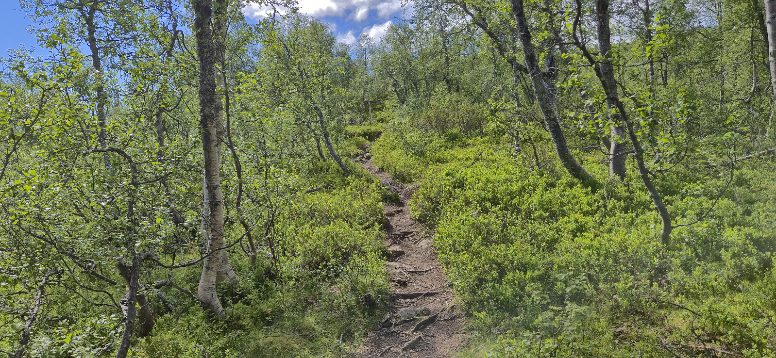
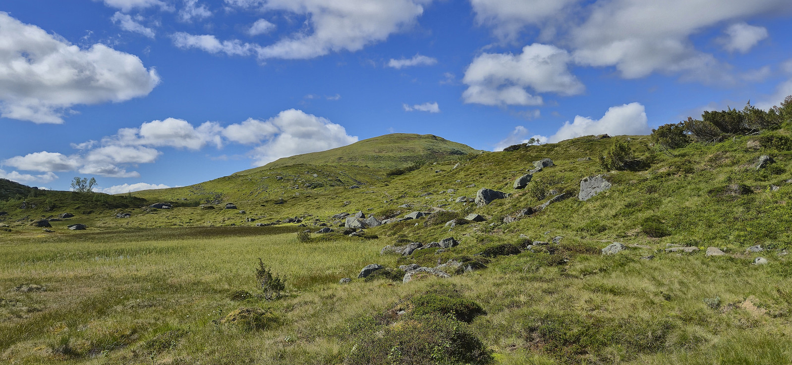
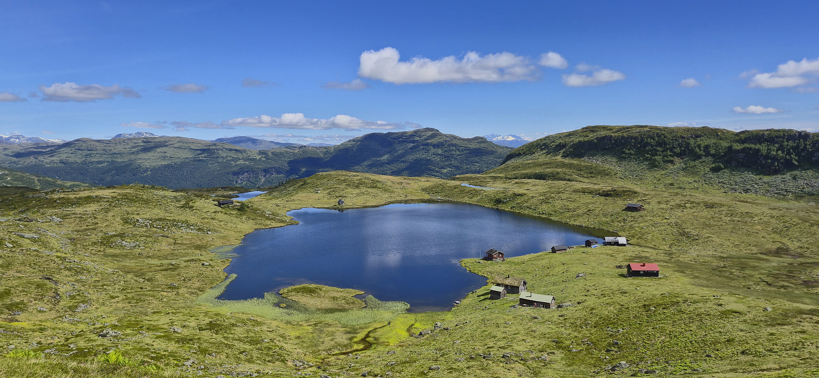
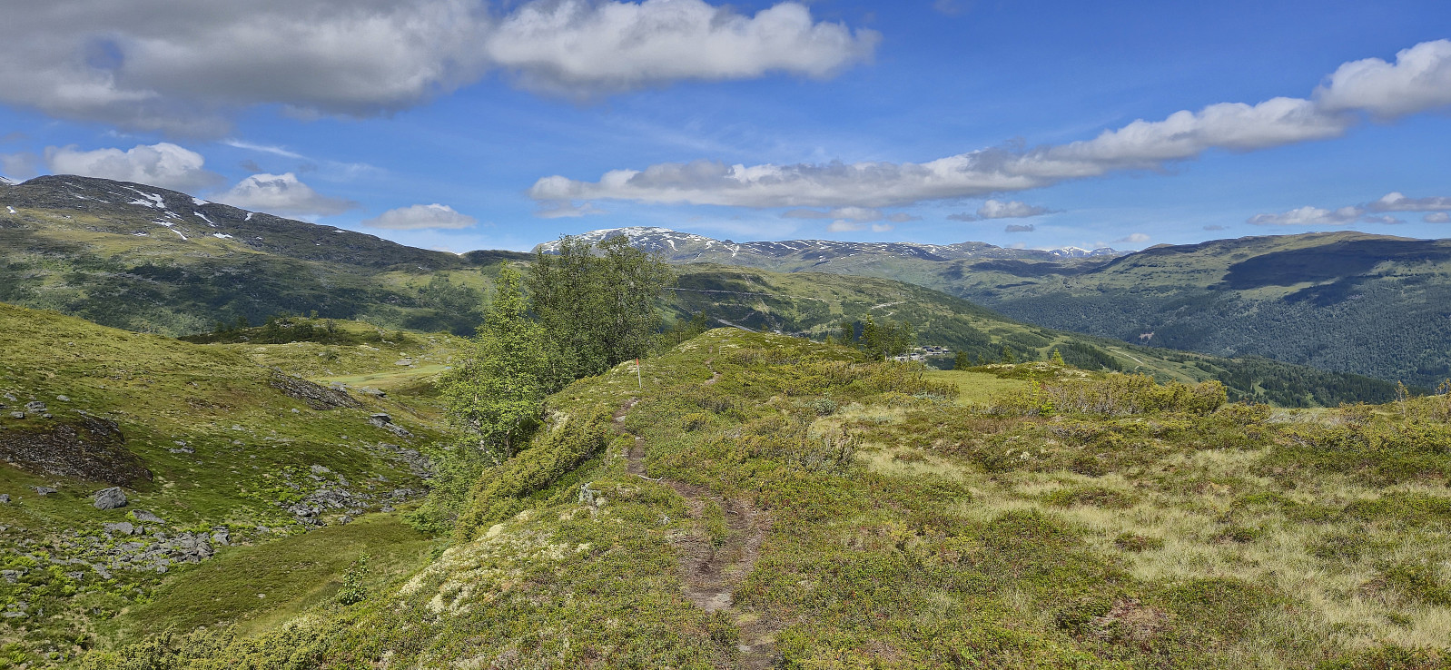
We parked at the large parking lot at Rindabotn and from there followed the marked route to Fagereggi. First along a gravel path, then across a wooden bridge, and finally along a nice trail. We briefly lost the trail east of Fagreggjevatnet but easily picked it up again when rounding the lake on the southern side and then followed it to reconnect with our ascent route. Before this I however made a short off-trail detour on my own to the top of Helleberget.
| Start date | 11.07.2025 11:11 (UTC+01:00 DST) |
| End date | 11.07.2025 14:06 (UTC+01:00 DST) |
| Total Time | 2h 55min |
| Moving Time | 2h 26min |
| Stopped Time | 0h 28min |
| Overall Average | 2.6km/h |
| Moving Average | 3.1km/h |
| Distance | 7.6km |
| Vertical meters | 442m |


User comments