
Gullbotn to Takvam via Steinfjellet, Ramfjellet and Onuken (09.03.2025)

Skrevet av hbar (Harald Barsnes)

| Startsted | Gullbotn (245moh) |
|---|---|
| Sluttsted | Takvam (57moh) |
| Turtype | Fjelltur |
| Turlengde | 6t 51min |
| Distanse | 19,2km |
| Høydemeter | 1127m |
| GPS |
|
| Bestigninger | Steinfjellet (661moh) | 09.03.2025 10:51 |
|---|---|---|
| Ramfjellet (428moh) | 09.03.2025 11:45 | |
| Hotten (668moh) | 09.03.2025 13:36 | |
| Onuken (485moh) | 09.03.2025 14:53 | |
| Andre besøkte PBE'er | Gullbotn p-plass (244moh) | 09.03.2025 09:36 |
Gullbotn to Takvam via Steinfjellet, Ramfjellet and Onuken
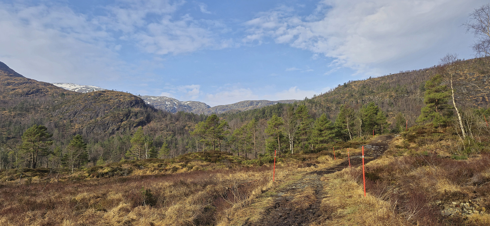
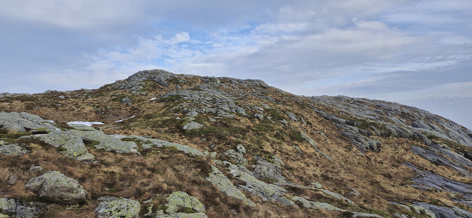
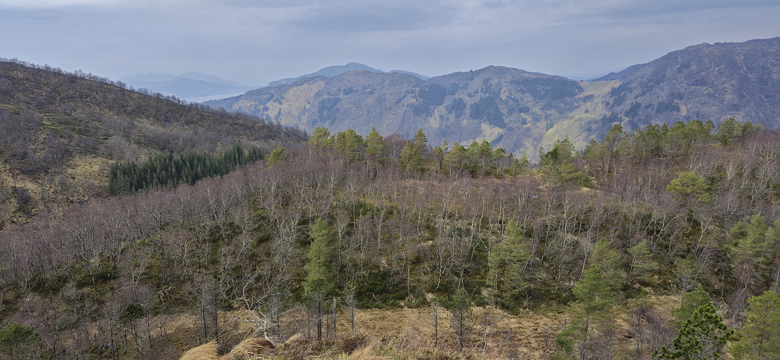
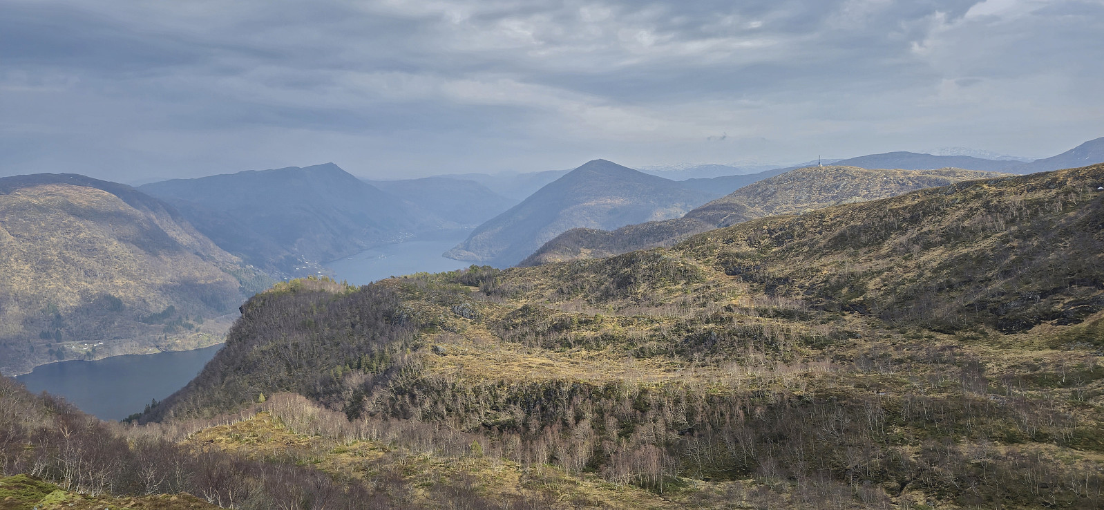
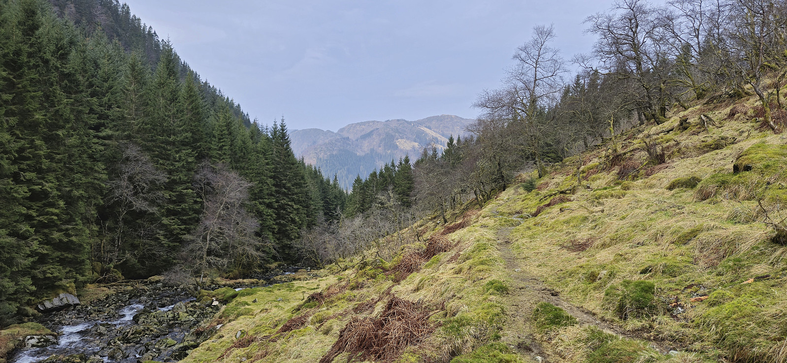
Ever since turning back just below the summit of Steinfjellet last summer, I knew that I one day had to return to complete the job. This time I arrived by bus from Bergen and started by following the trails up to where Gullbotn is indicated on the map. Last time we had tried to ascend from the east, so this time I therefore ascended further south before later turning north towards the highest point. Much easier and the summit was reached without any real challenges.
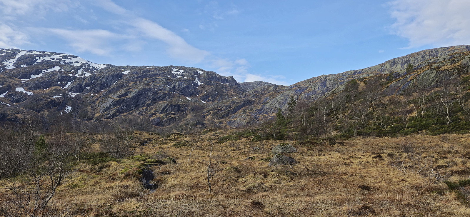
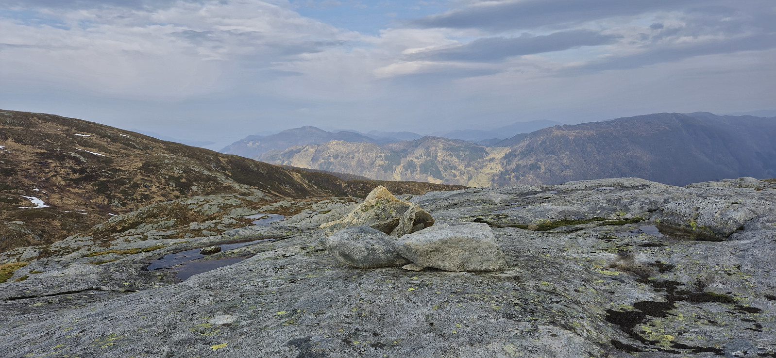
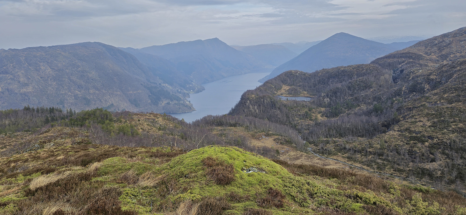
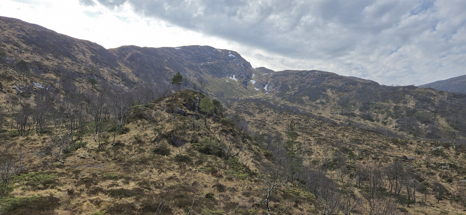
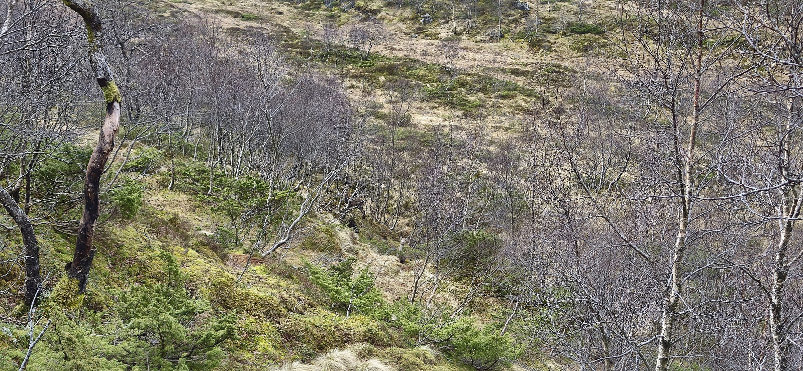
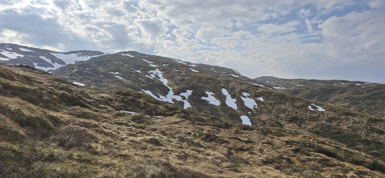
From Steinfjellet I continued north to Ramfjellet. Getting there was overall straightforward, but I did lose around 230 vertical meters in the process. After a quick lunch break north of the summit, with better views than from the summit itself, I turned back and headed south for Romslabotn. Just before starting the ascent to Romslabotsriden, I came across five deer, where two of them even took the time to study me before quickly disappearing.
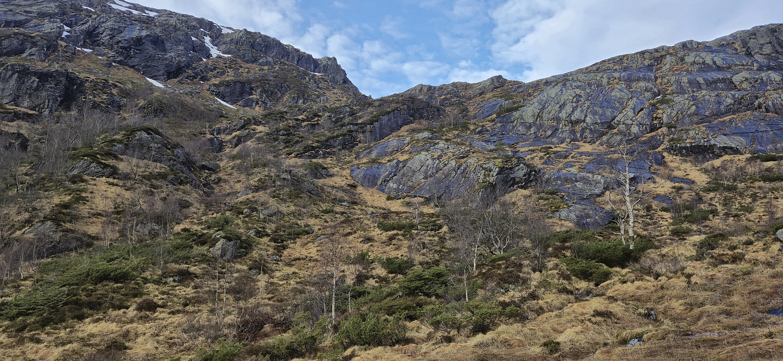
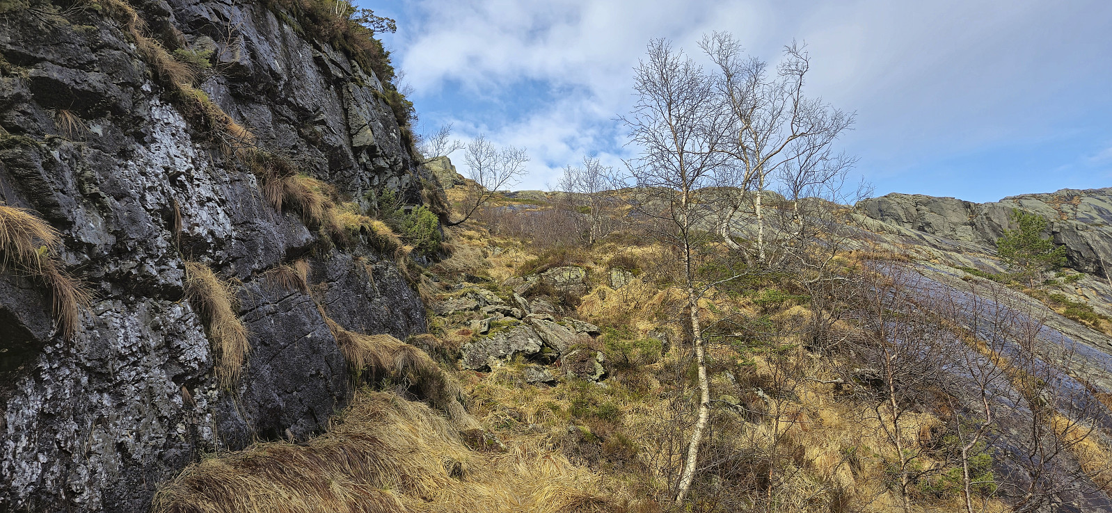
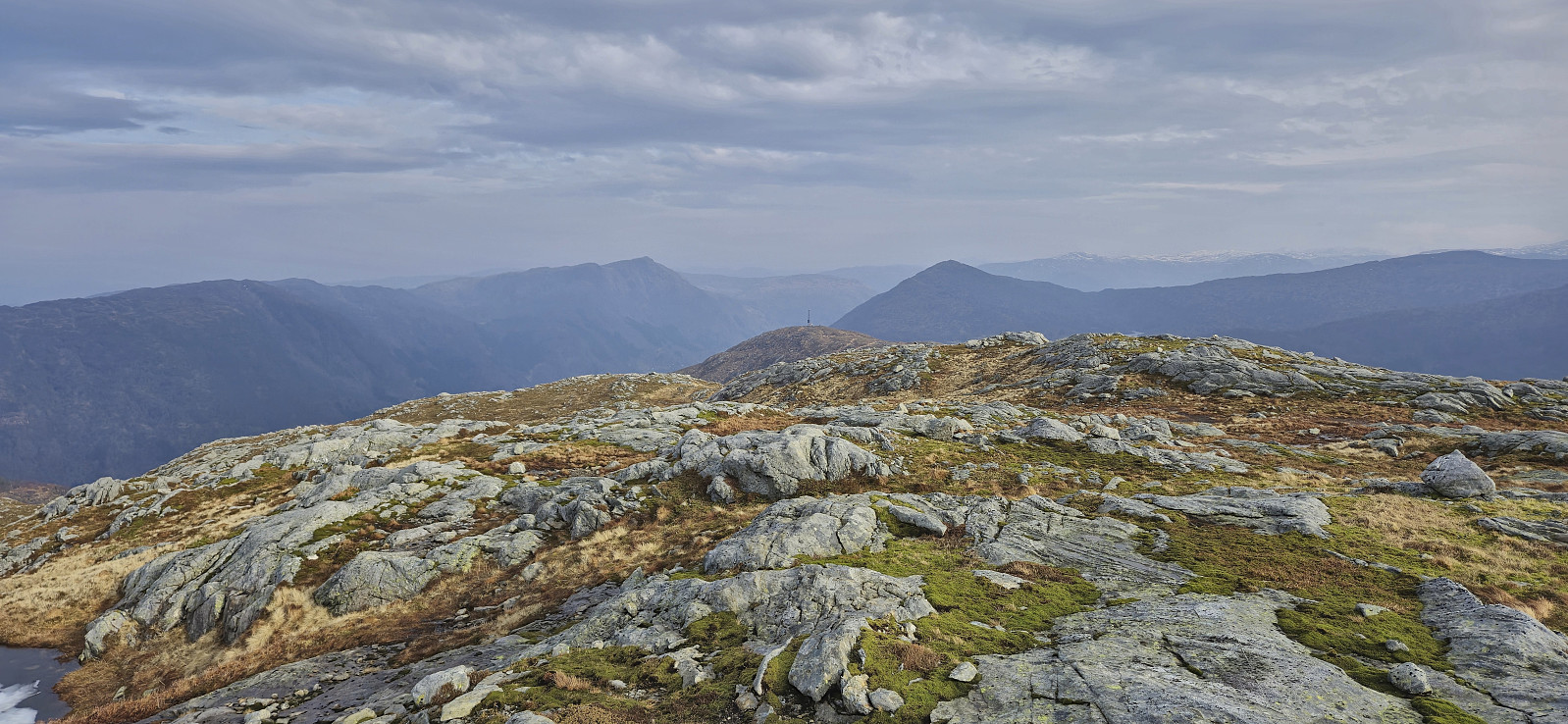
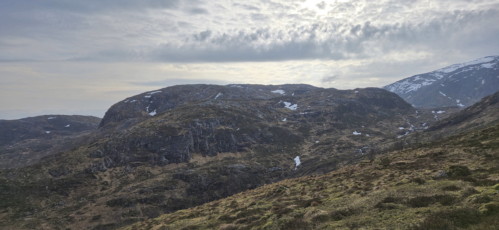
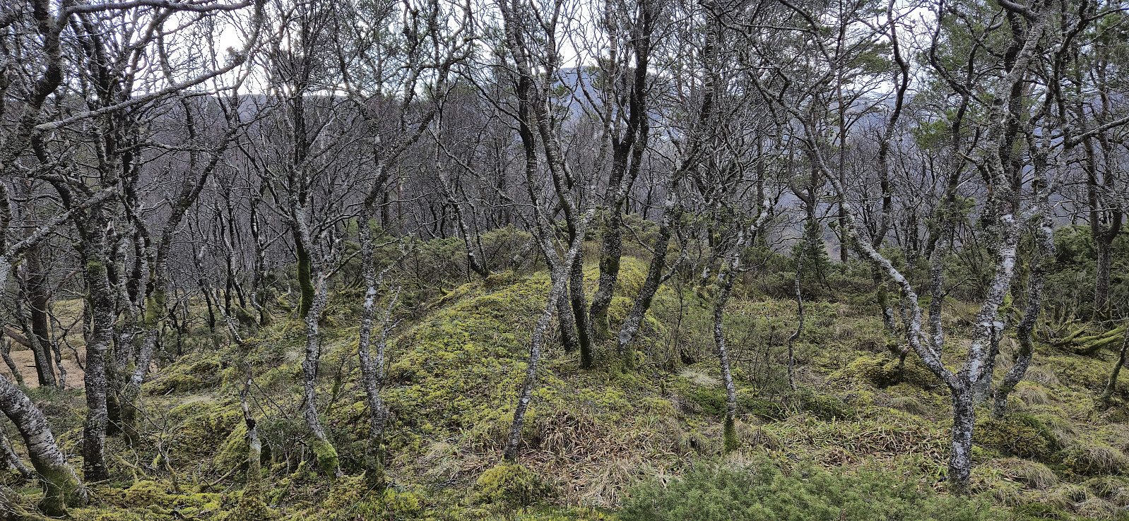
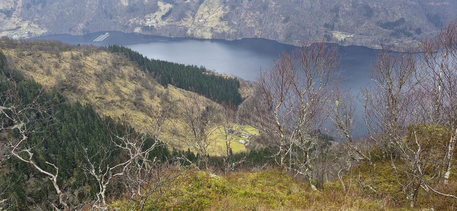
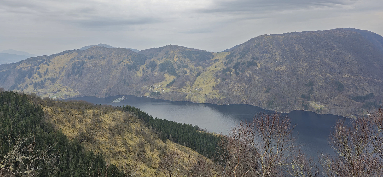
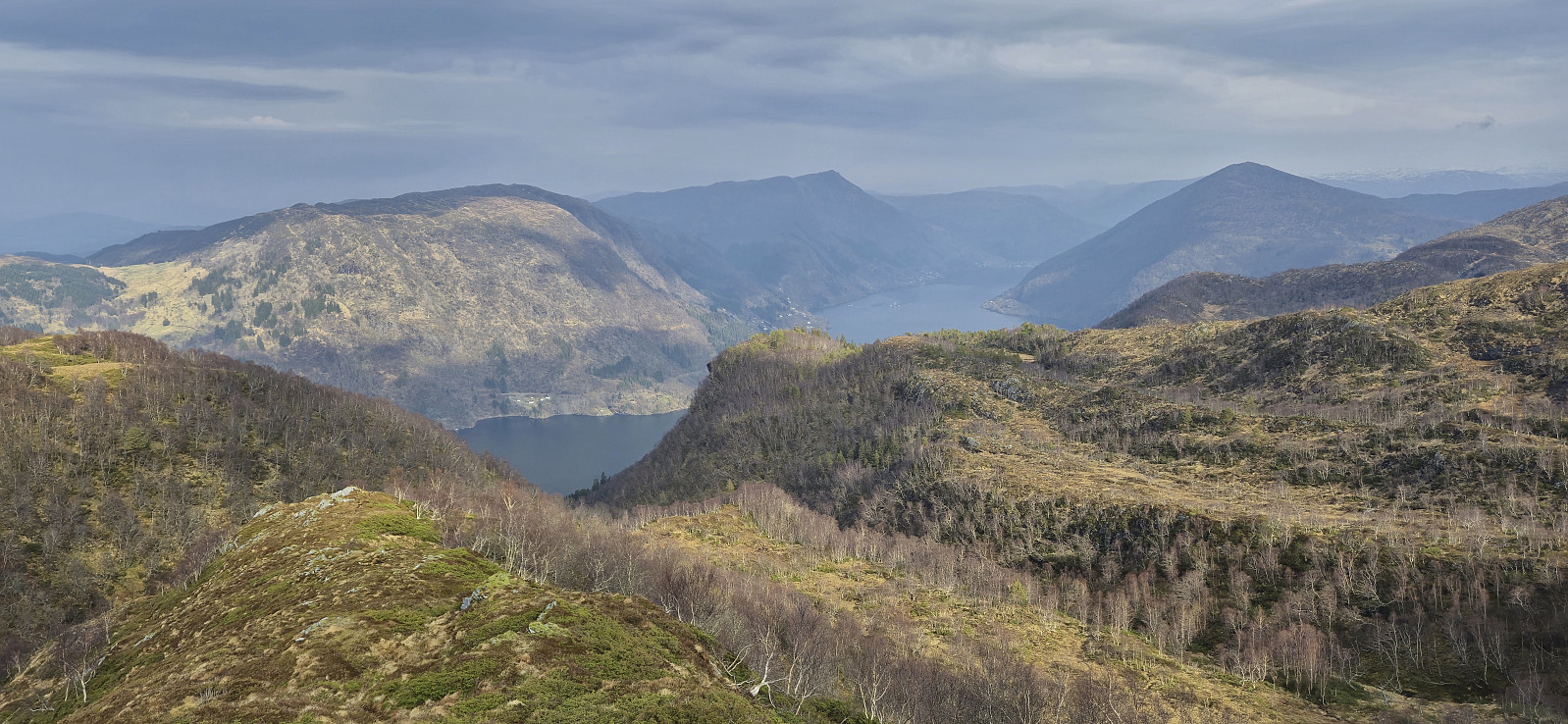
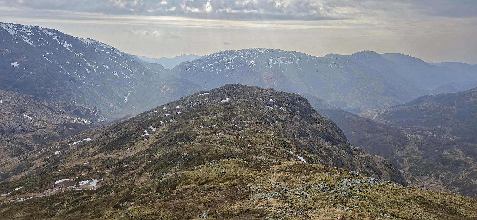
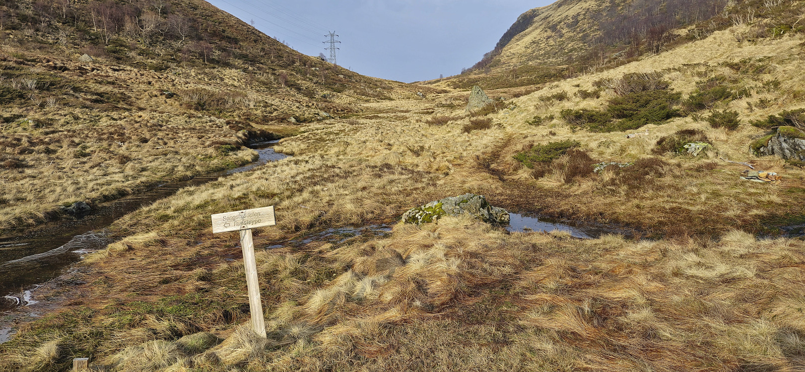
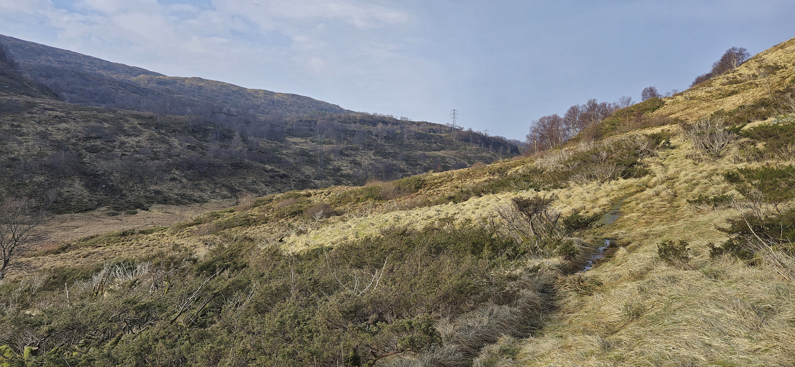
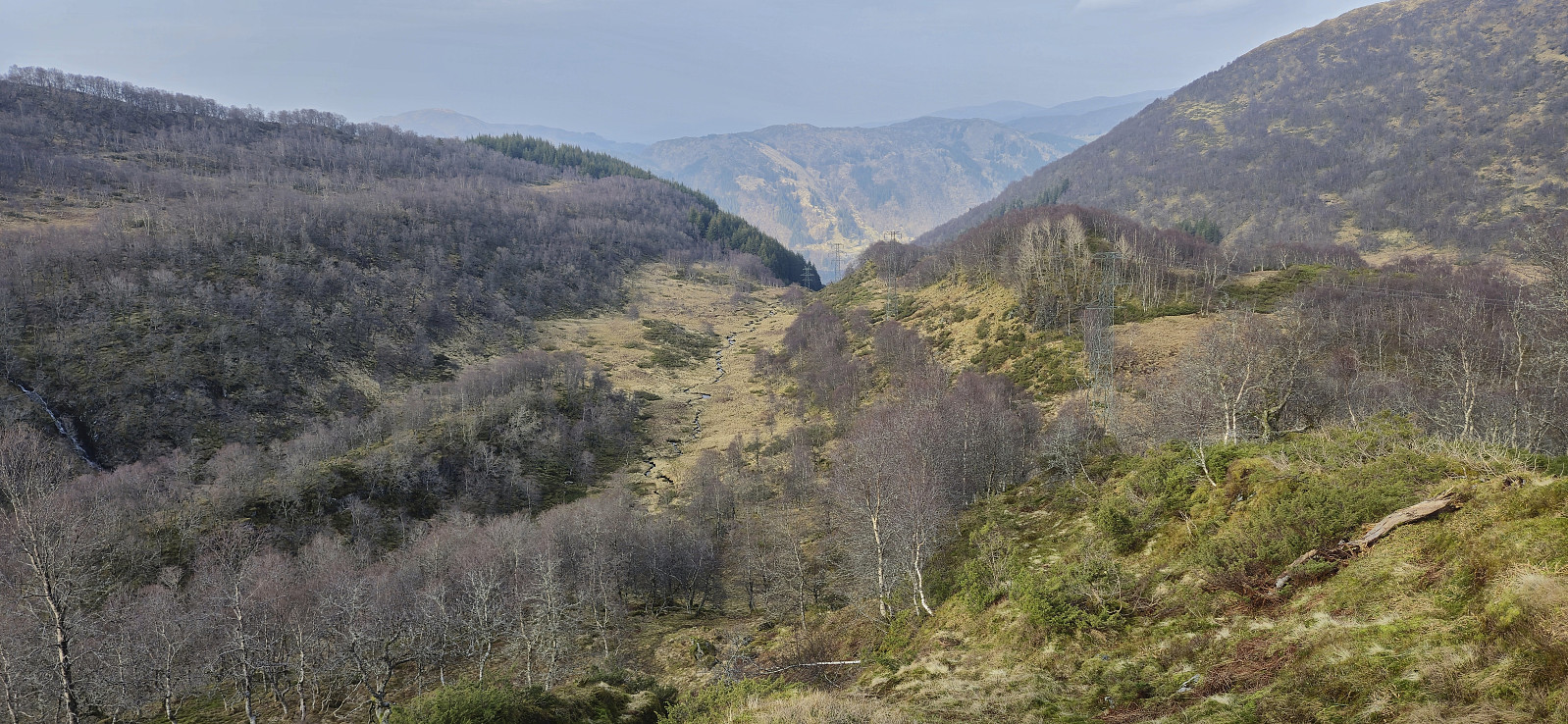
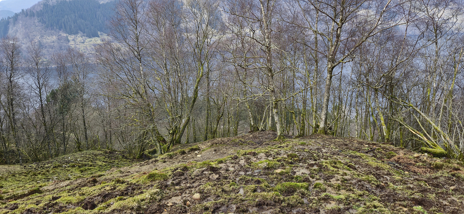
I connected with the trail west of Høgevarden and proceeded to follow it via Hotten down to Svartavatnet before turning north and heading down Songstaddalen, where I made a short off-trail detour to the summit of Onuken. After returning to the wet and unmarked trail I tried to follow it down to the paved road.
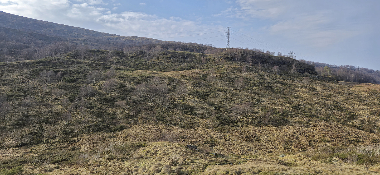
The trail however soon pretty much disappeared but thankfully later returned as I was approaching Tunga. This lasted until reaching Nyestølen, where the trail once more disappeared and I ended up in a muddy area shared by a couple of horses, before finally connecting with a narrow gravel road just below the first house.
All that remained was then to follow the paved road west to Herland for the bus back to Bergen. When getting there I however still had plenty of time, and ended up continuing to Takvam before actually getting on the bus.
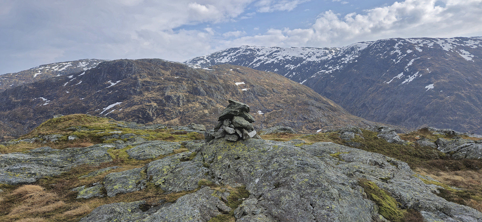
To conclude, a nice and largely off-trail hike with lots of great views along the way. One should probably try to find a better route towards the end of Songstaddalen though.


| Starttidspunkt | 09.03.2025 09:35 (UTC+01:00) |
| Sluttidspunkt | 09.03.2025 16:27 (UTC+01:00) |
| Totaltid | 6t 51min |
| Bevegelsestid | 6t 23min |
| Pausetid | 0t 28min |
| Snittfart totalt | 2,8km/t |
| Snittfart bevegelsestid | 3,0km/t |
| Distanse | 19,2km |
| Høydemeter | 1127m |


Kommentarer