
Ørnatua (26.01.2025)

Written by hbar (Harald Barsnes)

| Start point | Flaktveit snuplass (172m) |
|---|---|
| Endpoint | Flaktveitvegen v/Breimyra (146m) |
| Characteristic | Hillwalk |
| Duration | 0h 39min |
| Distance | 2.3km |
| Vertical meters | 103m |
| GPS |
|
| Ascents | Ørnatua (179m) | 26.01.2025 12:29 |
|---|
Ørnatua
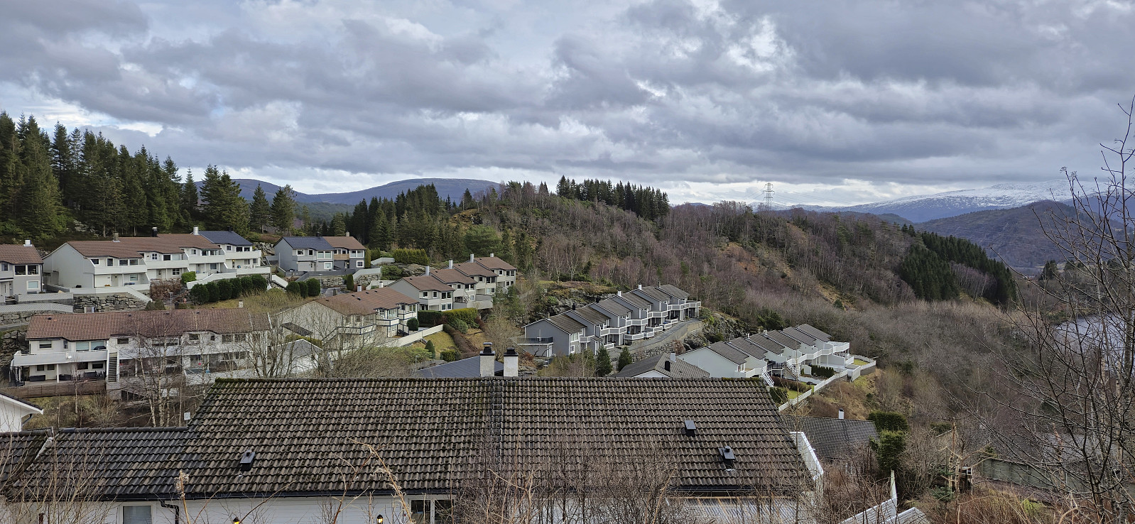
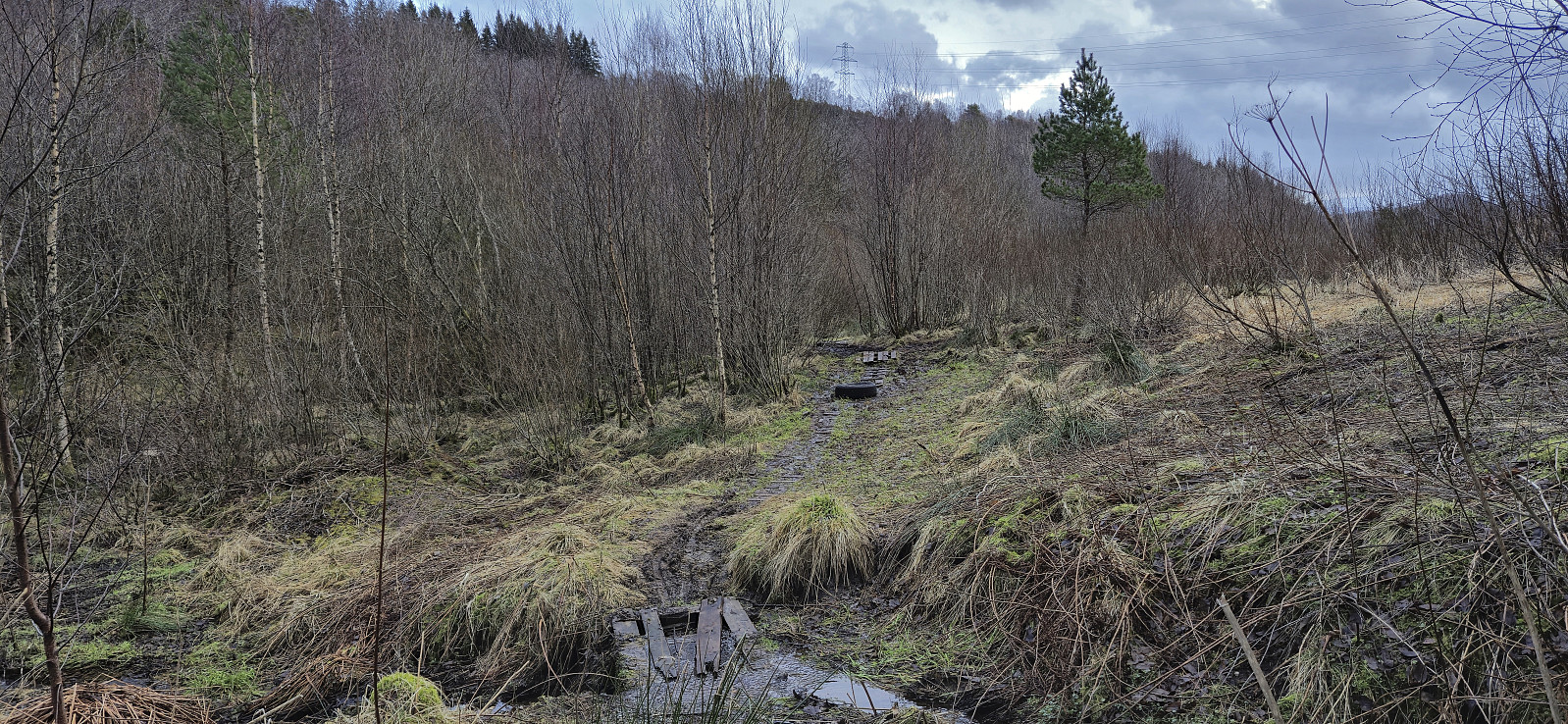
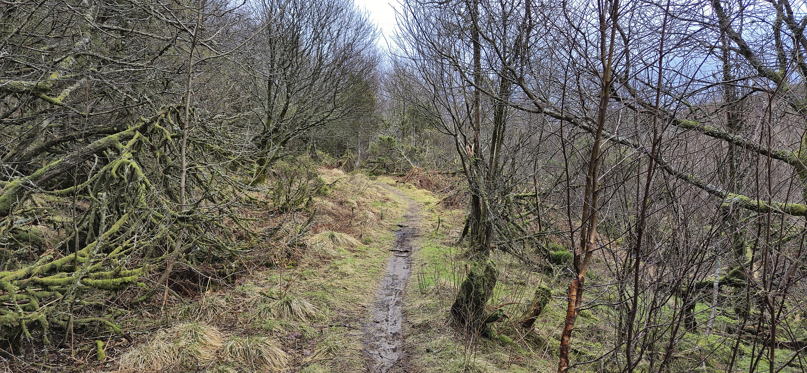
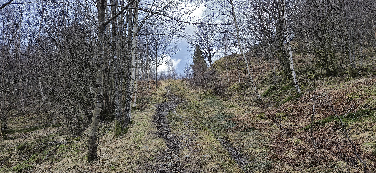
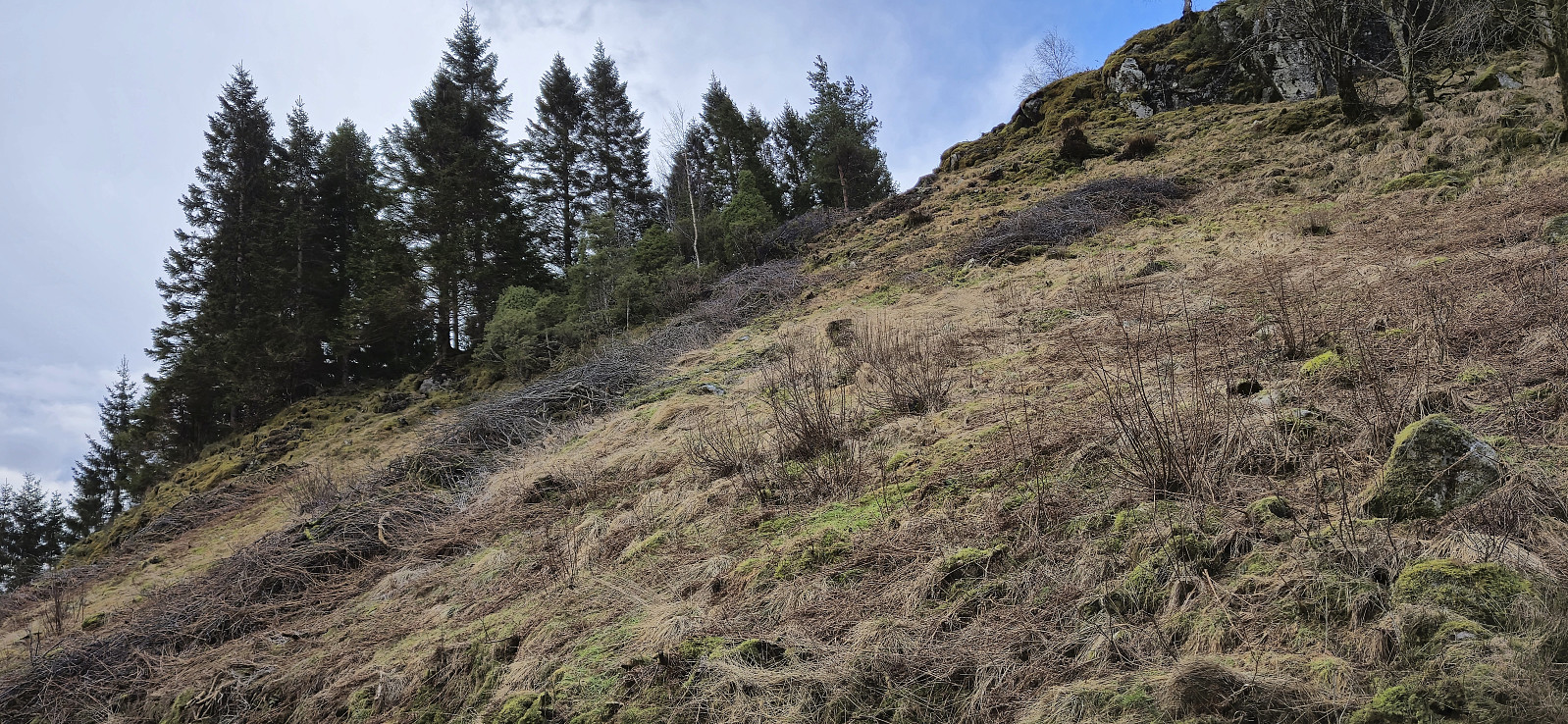
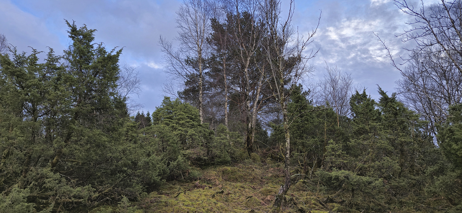
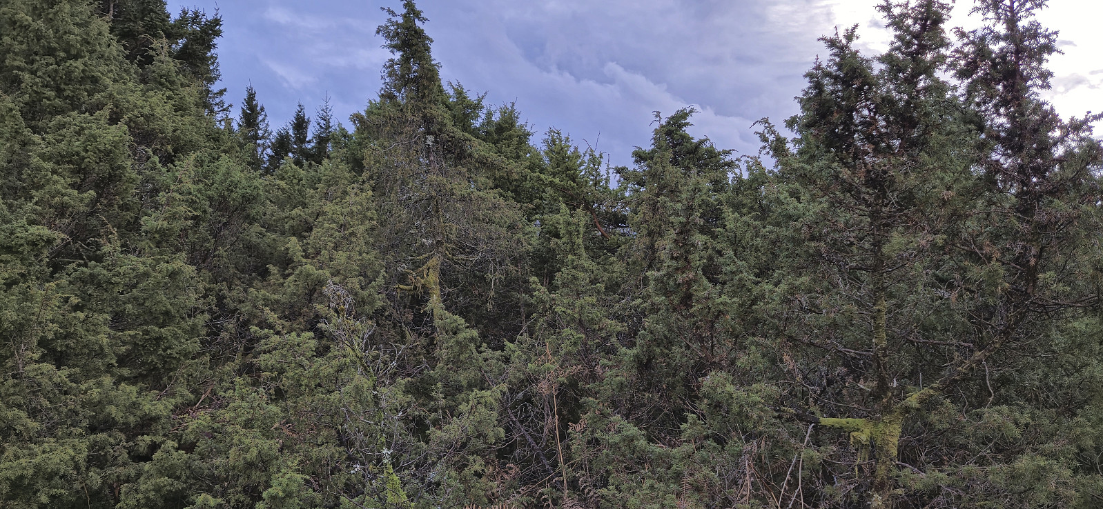
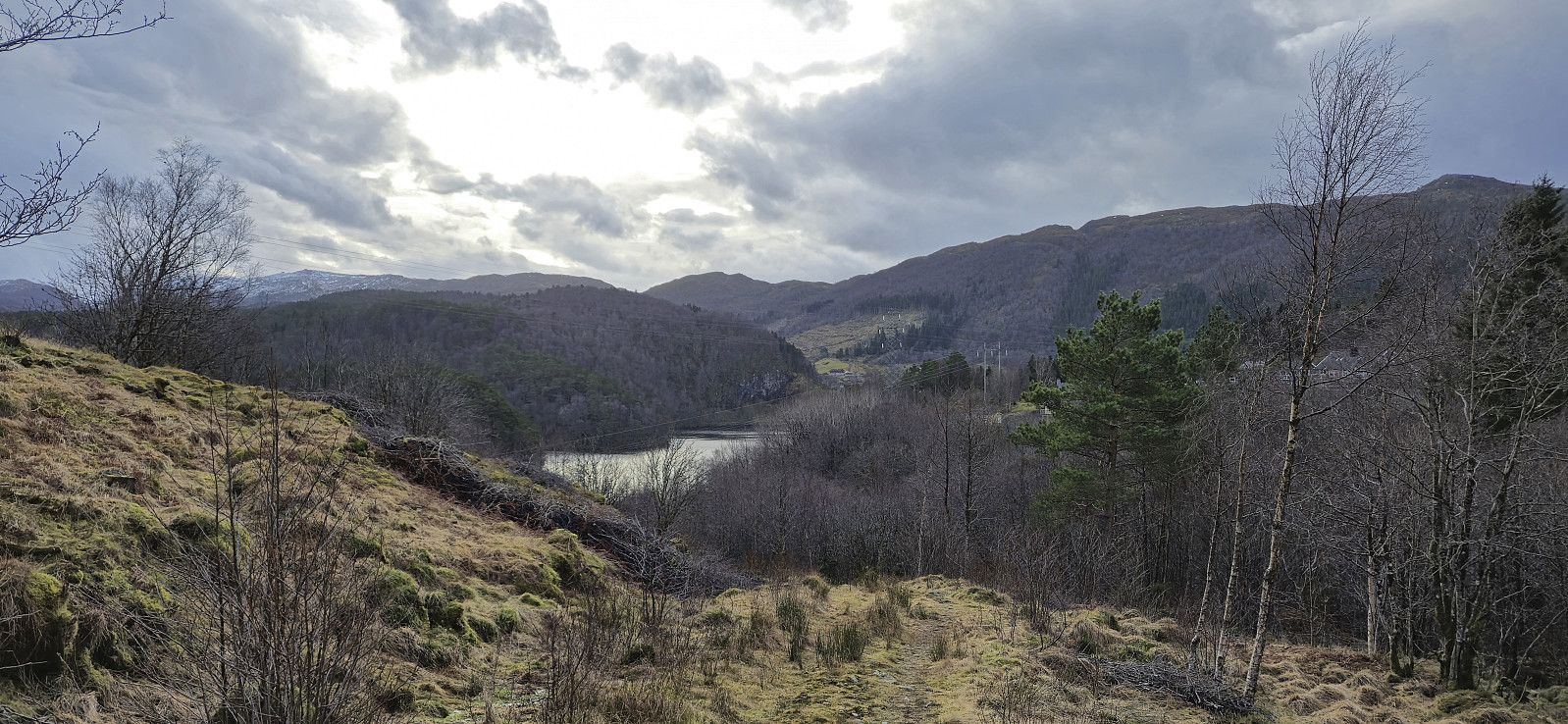
A short and windy Sunday hike before the forecasted rain and snow showers. The objective was to visit Ørnatua, yet another minor peak on the Alle topper i Bergen list. I started from the last bus stop at Flaktveit and from there headed south towards Kråvatnet. When the roads ended I continued on an initially wet trail that later connected with a tractor road that took me to just west of Ørnatua. After a short and steep off-trail ascent I easily got quite close to the highest point. The summit area was however completely covered by juniper bushes and thus locating the exact summit was more difficult. I returned the same way and then headed for the bus stop at Breimyra to conclude the short hike.
| Start date | 26.01.2025 12:10 (UTC+01:00) |
| End date | 26.01.2025 12:50 (UTC+01:00) |
| Total Time | 0h 39min |
| Moving Time | 0h 39min |
| Stopped Time | 0h 0min |
| Overall Average | 3.5km/h |
| Moving Average | 3.5km/h |
| Distance | 2.3km |
| Vertical meters | 102m |


User comments