
Røyrfjellet Øst (08.12.2024)

Geschrieben von hbar (Harald Barsnes)

| Startpunkt | Kvitingsvegen (547m) |
|---|---|
| Endpunkt | Kvitingsvegen (547m) |
| Tourcharakter | Bergtour |
| Tourlänge | 3h 26min |
| Entfernung | 10,6km |
| Höhenmeter | 574m |
| GPS |
|
| Besteigungen | Røyrfjellet Øst (916m) | 08.12.2024 11:20 |
|---|
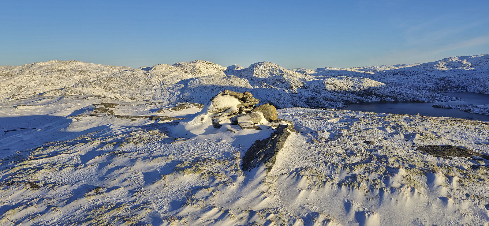
Røyrfjellet Øst
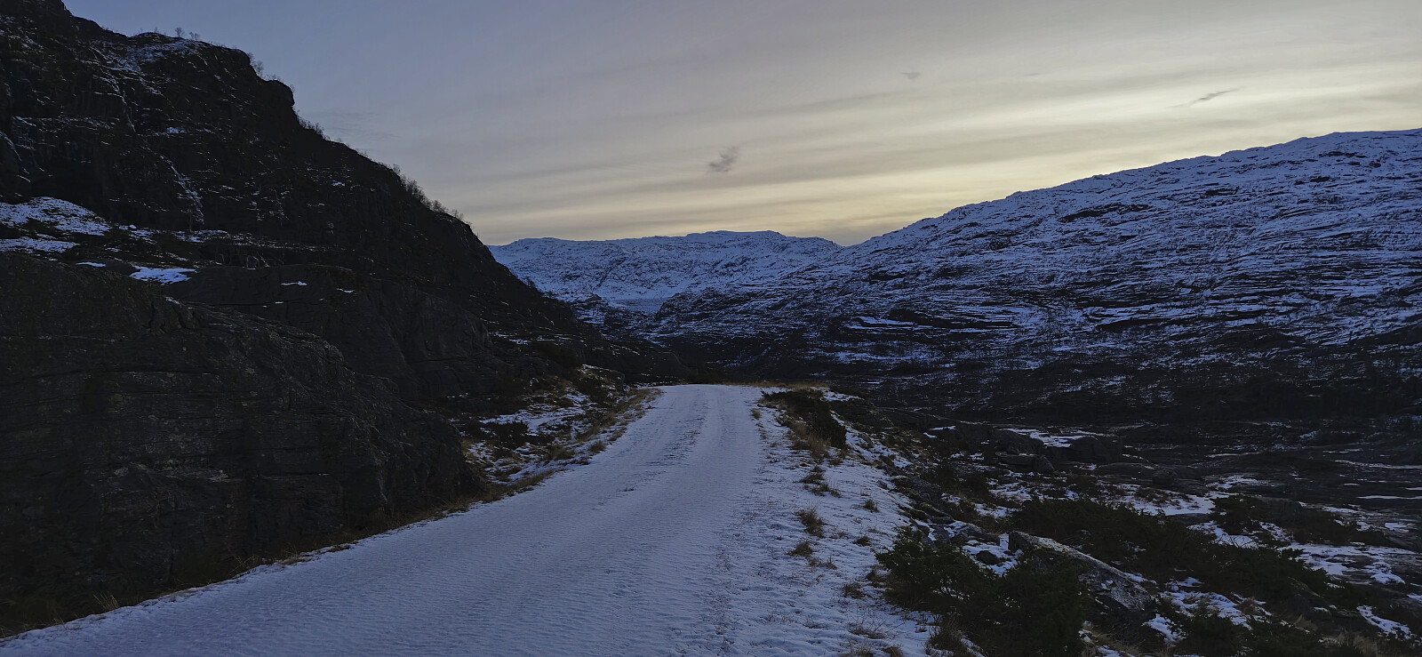
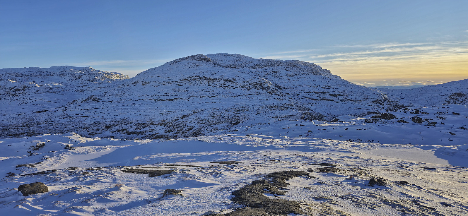
With the recent discovery that Røyrfjellet Øst is in fact higher than Storafjellet, it was clear that this peak also had to be visited. Petter picked me up at my place and together we drove to Kvitingsvatnet with the plan to drive as far up the gravel road to Svartavatnet/Holmavatnet as possible. At the top of Renneberget we found parking next to the road and continued on foot. We probably could have driven further but decided not to take any chances due to the snow-covered road with potential ice underneath.
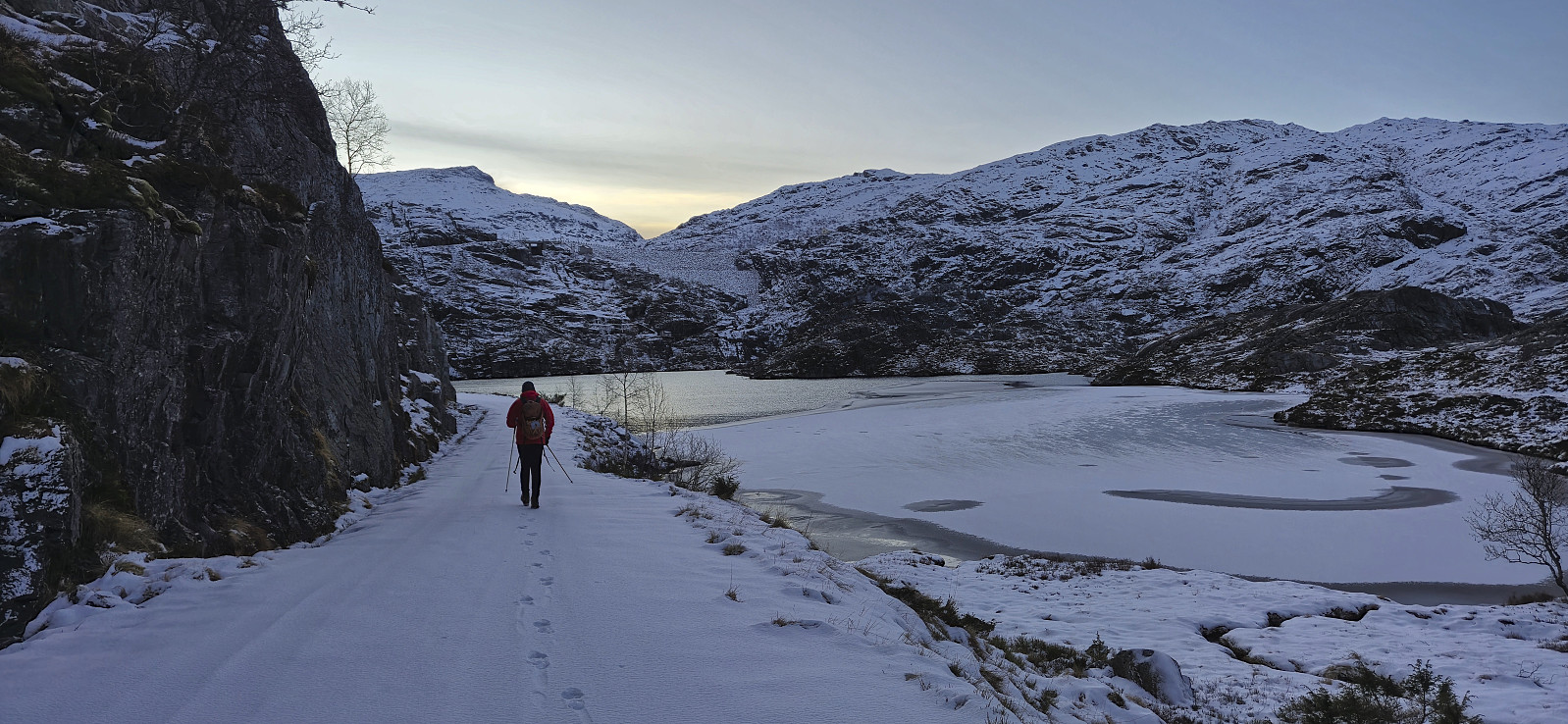
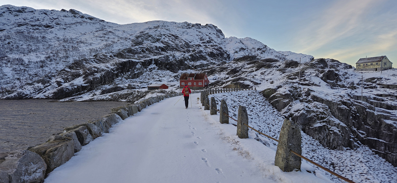
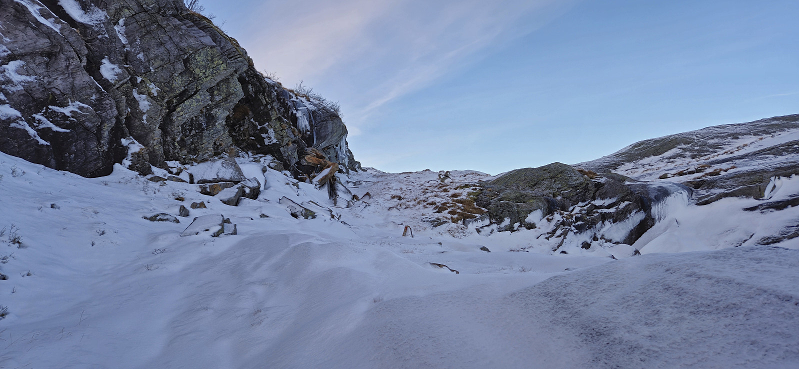
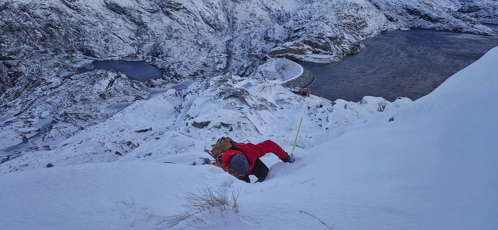
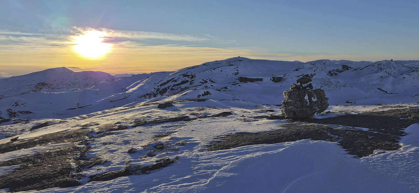
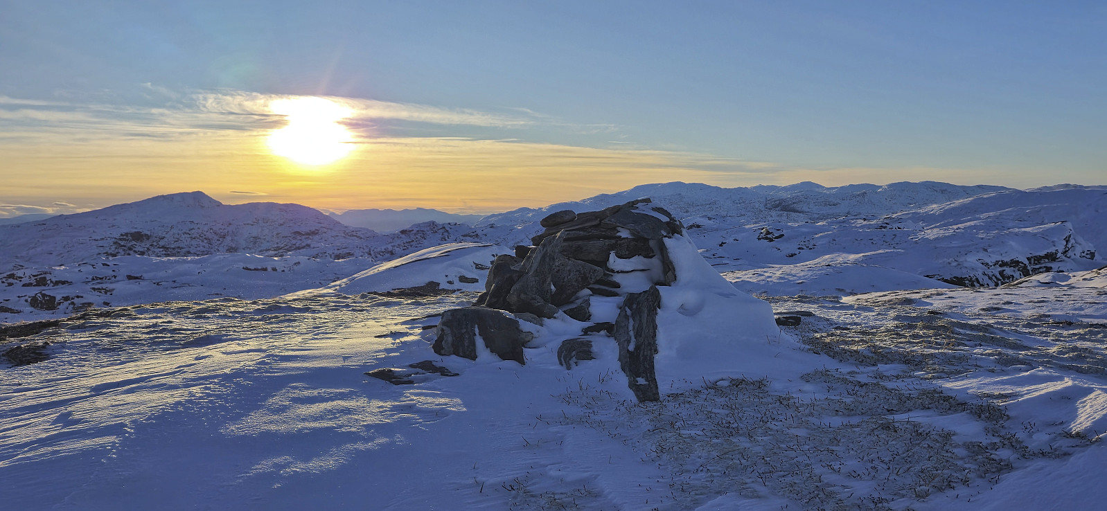
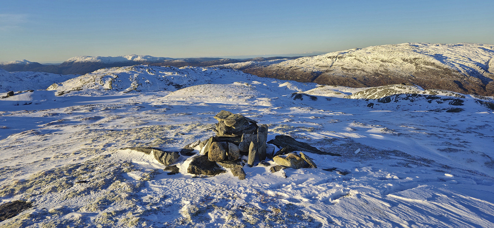
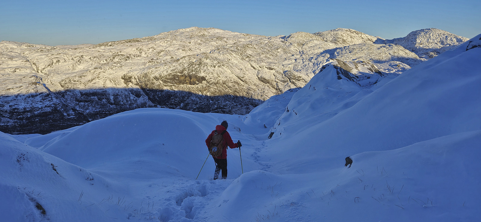
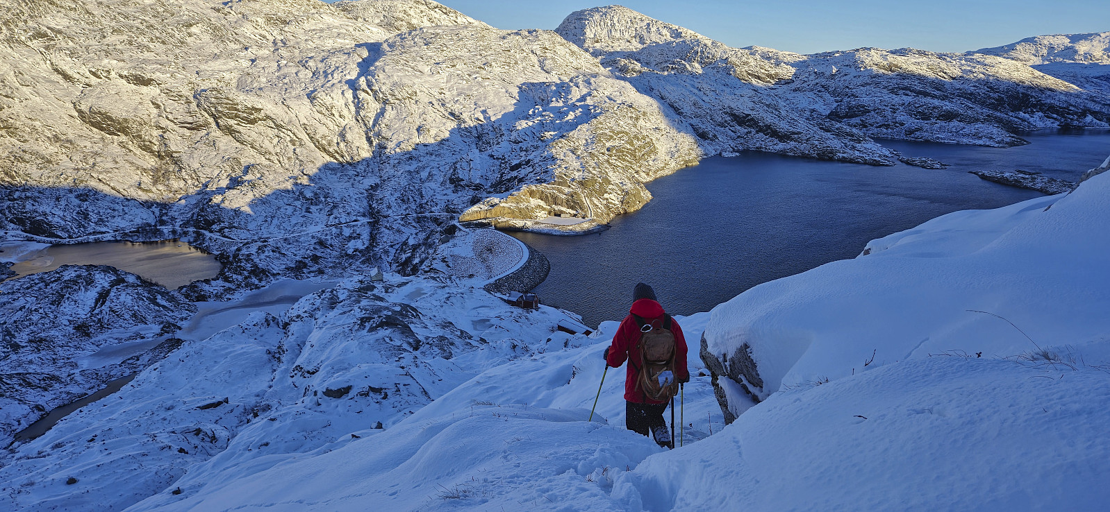
Upon arriving at the small parking lot at the south side of the Svartavatnet/Holmavatnet dam we tried to follow the marked trail but quickly gave up as the snow was hiding most of the red T's and instead found our own way. Besides a couple of minor challenges we made it past the initial steep area and could from there easily make our way to the summit in deepening snow. The summit provided excellent views in all directions, but due to a strong and cold wind we did not stay long before turning back and following our own footprints back to the dam.
To conclude, this route provides a relatively easy access to Røyrfjellet Øst, a peak well worth visiting. Note however that the gravel road to the dam may be off-limits at other times of the year due to a potentially locked gate early on.
With plenty of daylight left, Petter and I decided to also include a visit of Vågahovda. After returning to the car, we therefore drove south to Bjørnafjorden.
| Startzeitpunkt | 08.12.2024 09:23 (UTC+01:00) |
| Endzeitpunkt | 08.12.2024 12:49 (UTC+01:00) |
| Gesamtzeit | 3h 26min |
| Zeit in Bewegung | 3h 22min |
| Pausenzeit | 0h 3min |
| Gesamtschnitt | 3,1km/h |
| Bewegungsschnitt | 3,1km/h |
| Entfernung | 10,6km |
| Höhenmeter | 574m |


Benutzerkommentare