
Framnes to Vinje via Tverrfjellet/Fossanipa (14.09.2024)

Skrevet av hbar (Harald Barsnes)

| Startsted | Framnes (336moh) |
|---|---|
| Sluttsted | Vinje (223moh) |
| Turtype | Fjelltur |
| Turlengde | 5t 24min |
| Distanse | 17,1km |
| Høydemeter | 901m |
| GPS |
|
| Bestigninger | Såta (1102moh) | 14.09.2024 12:49 |
|---|---|---|
| Tverrfjellet (1113moh) | 14.09.2024 13:26 | |
| Andre besøkte PBE'er | Svorto (649moh) | 14.09.2024 11:48 |
| Øyaset (557moh) | 14.09.2024 15:16 |
Framnes to Vinje via Tverrfjellet/Fossanipa
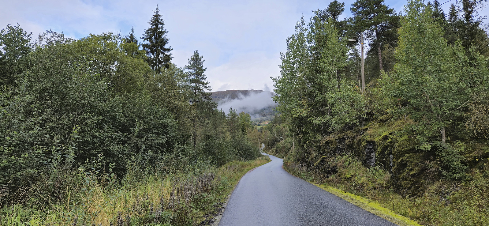
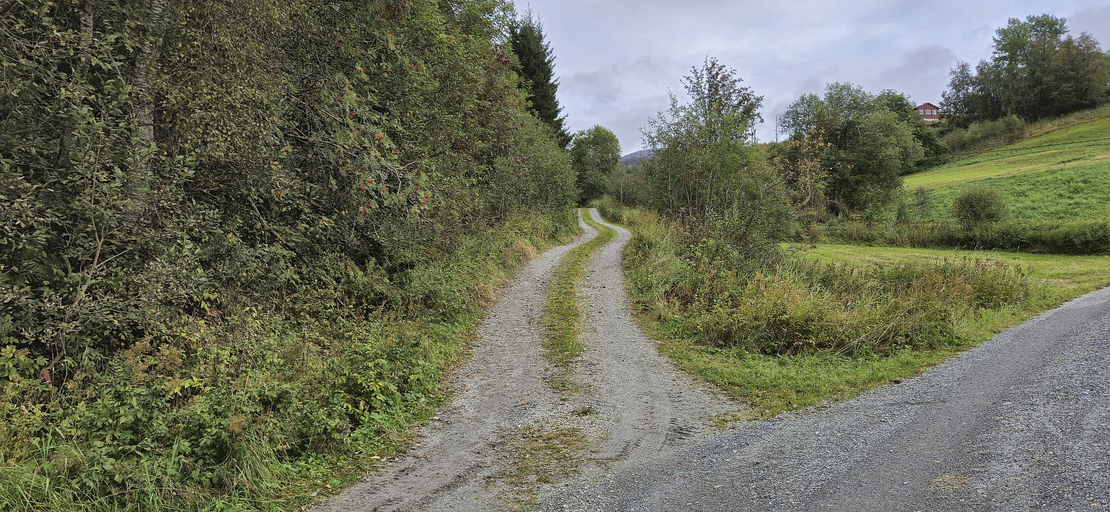
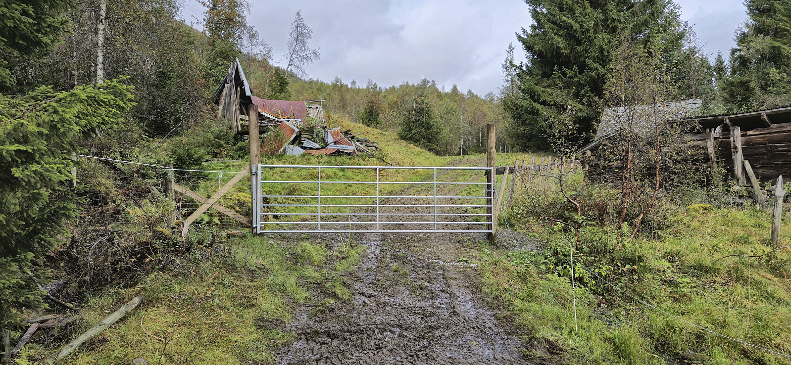
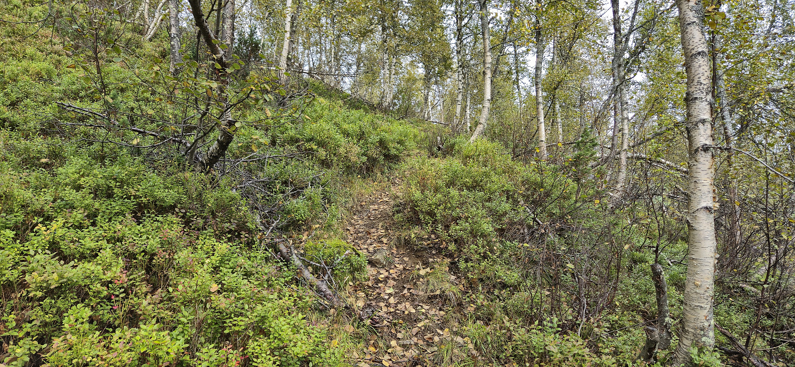
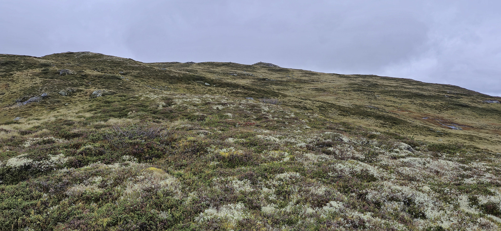
After taking the train from Bergen to Voss and the bus to Oppheim, I got off at Framnes at the southwestern end of Oppheimsvatnet. From there I headed north via Bidne to Svorto. The ascent followed a paved road that gradually turned into a rough tractor road and finally ended up as more of a muddy path.
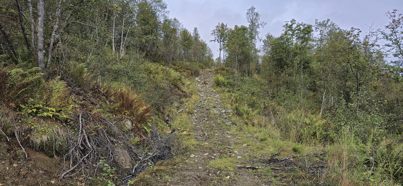
The map indicates a trail heading north/northwest from Svorto, but while I did find an unmarked trail, it was quite weak and I therefore lost it several times. By the time I got close to Såta the trail had completely disappeared and I was left with finding my own way. Såta provided great views and even had its own visitor register.
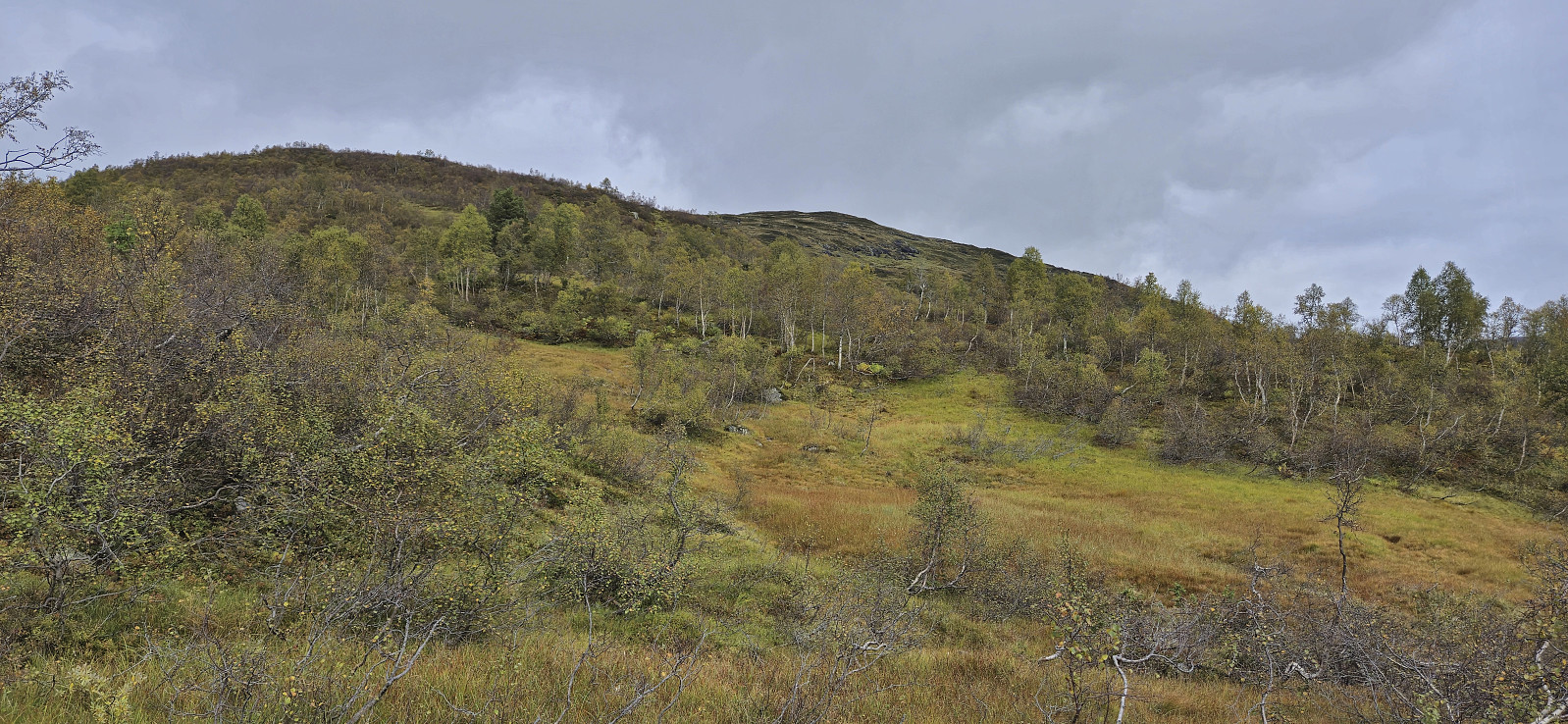
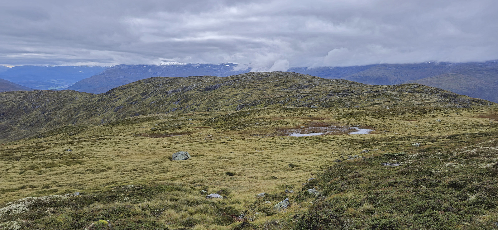
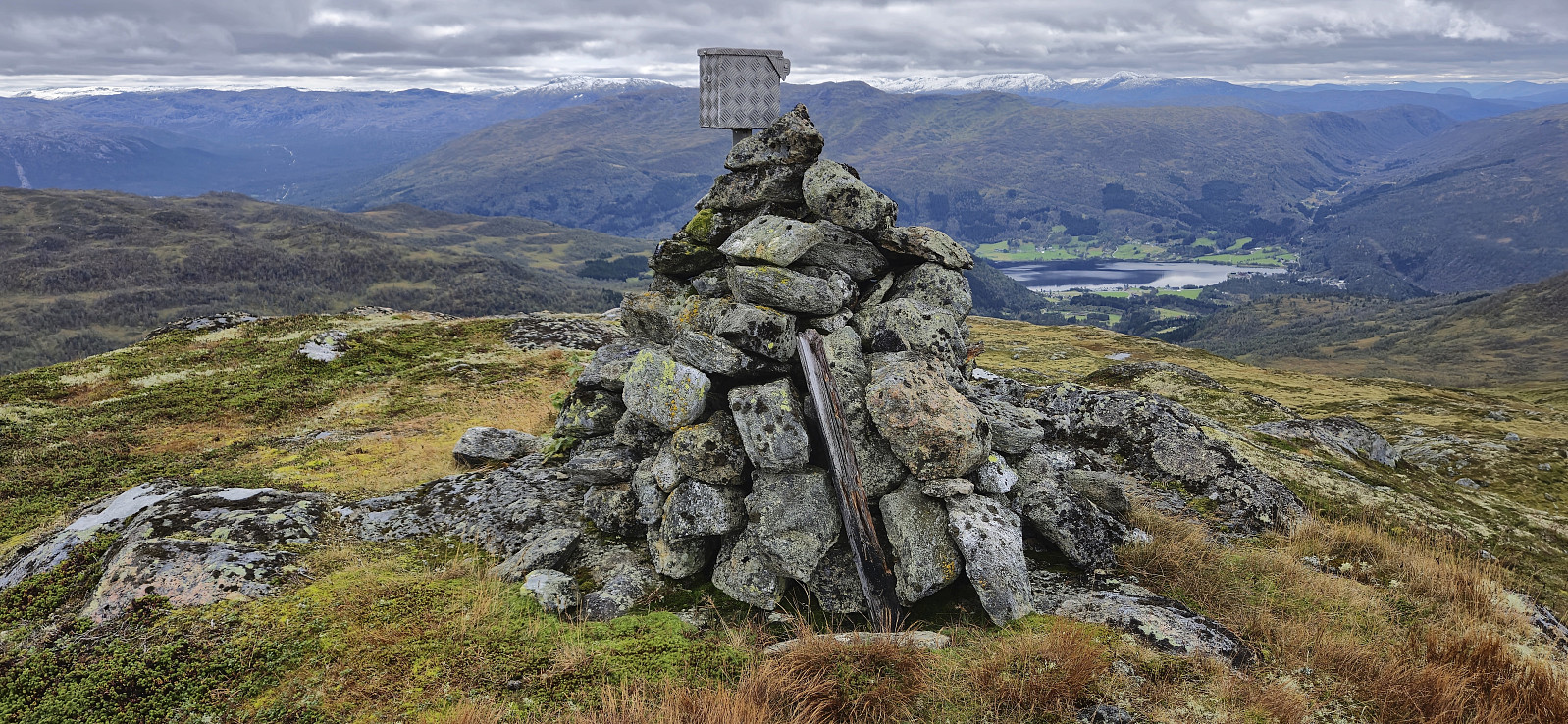
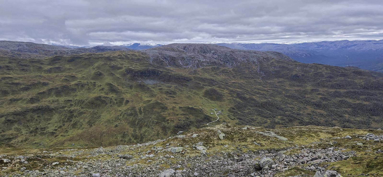
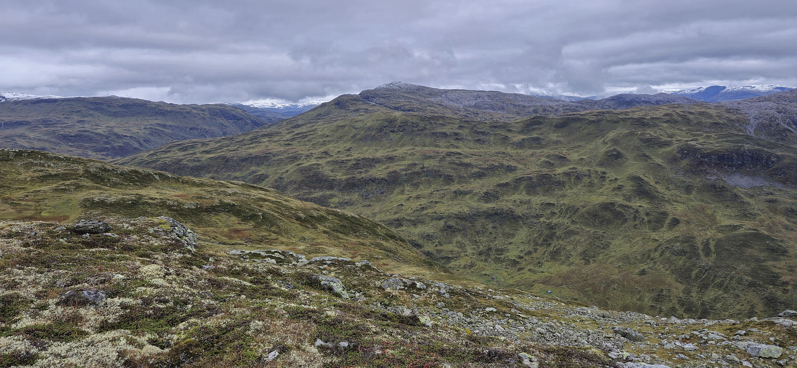
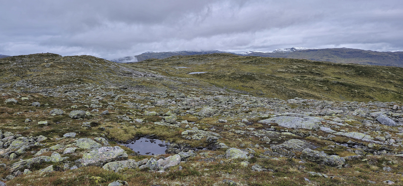
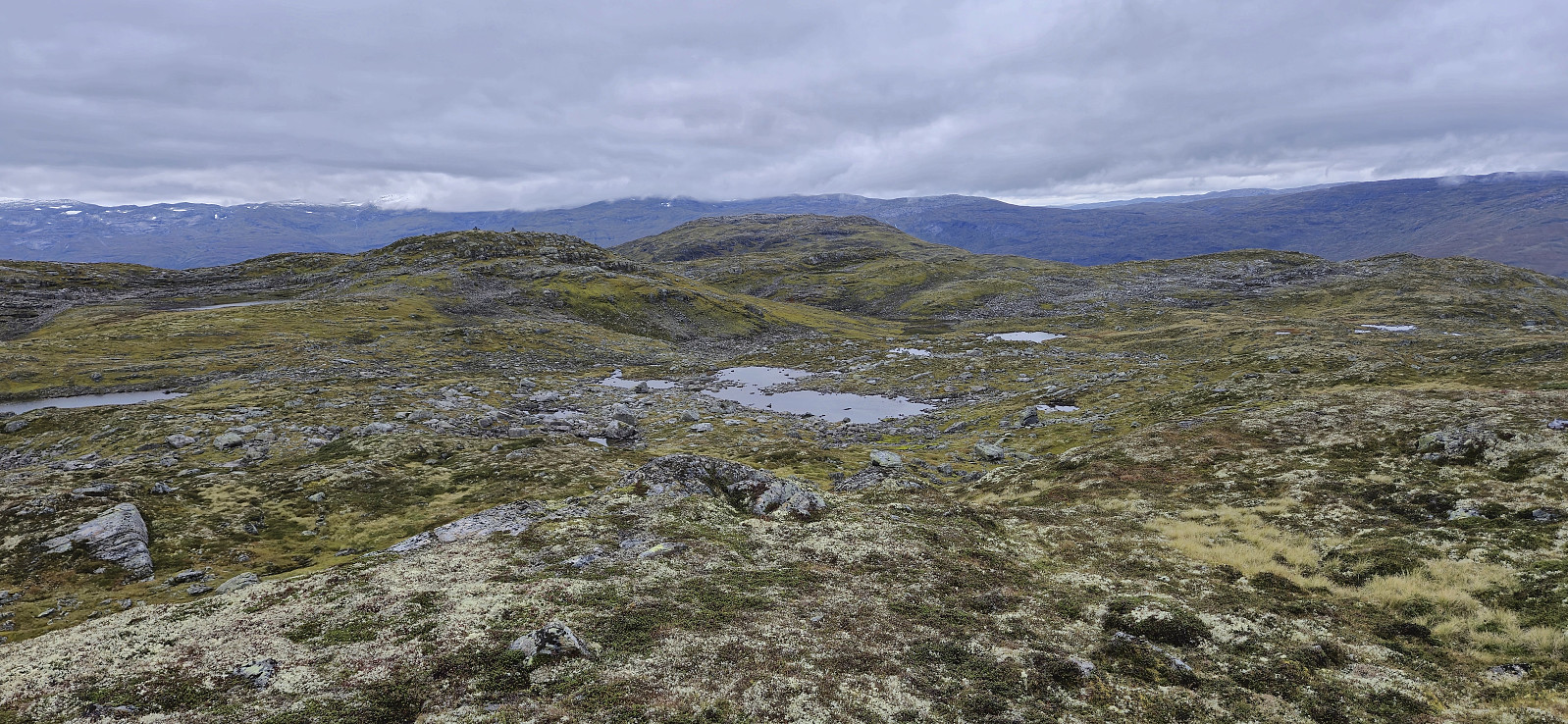
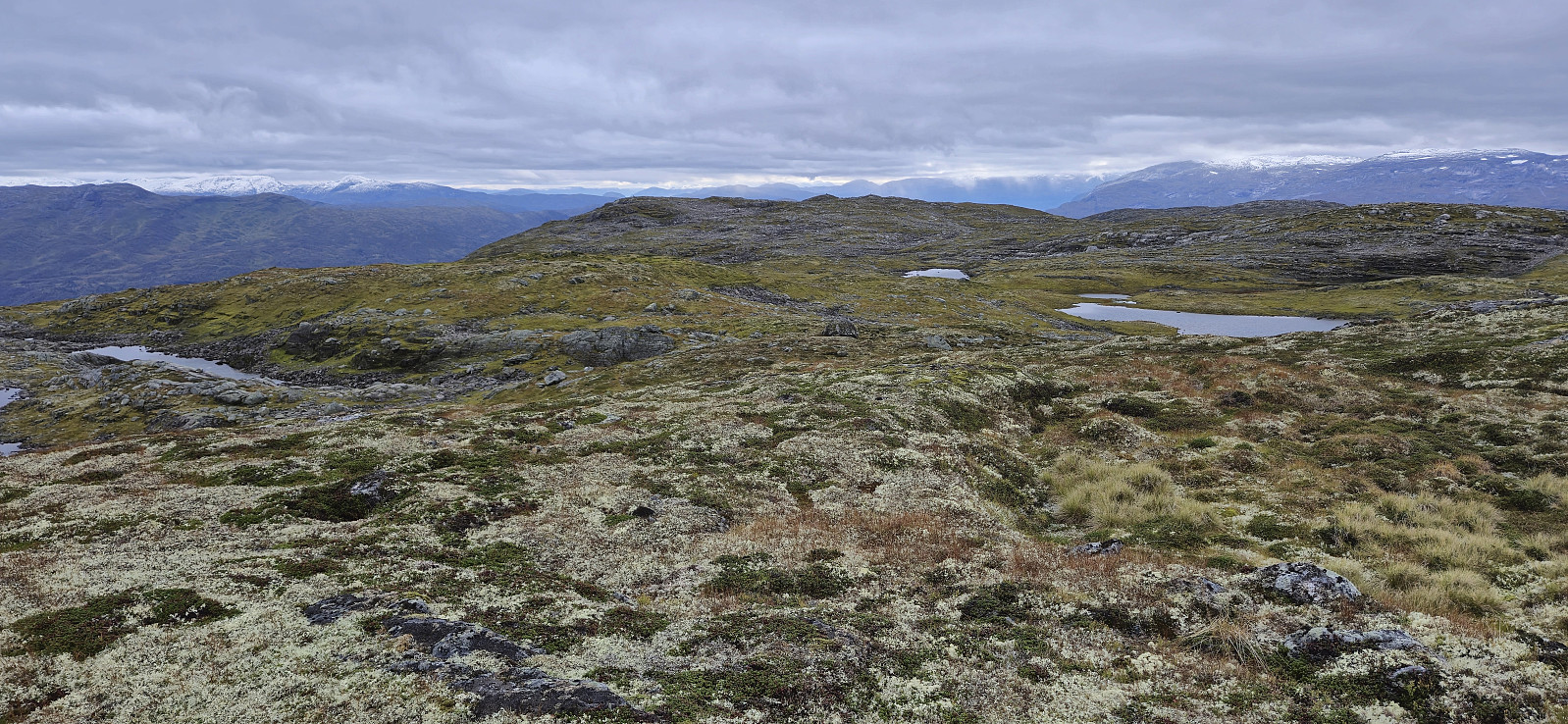
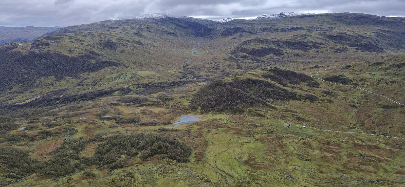
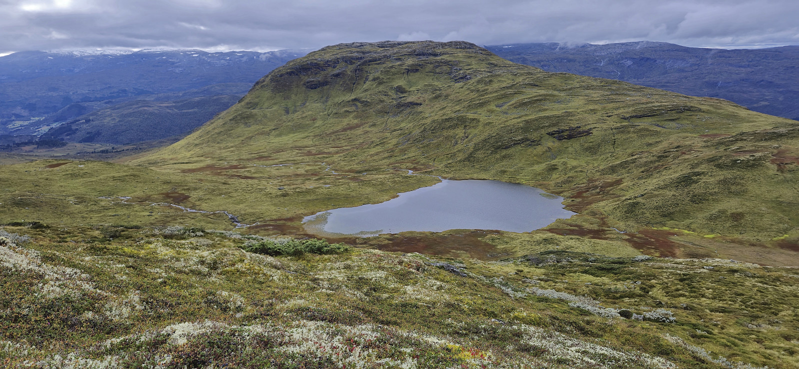
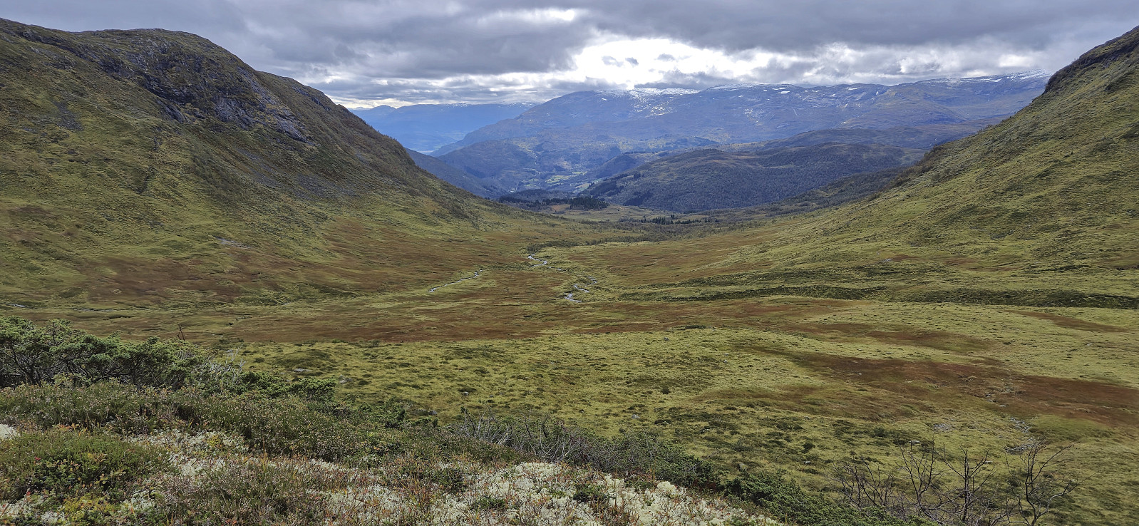
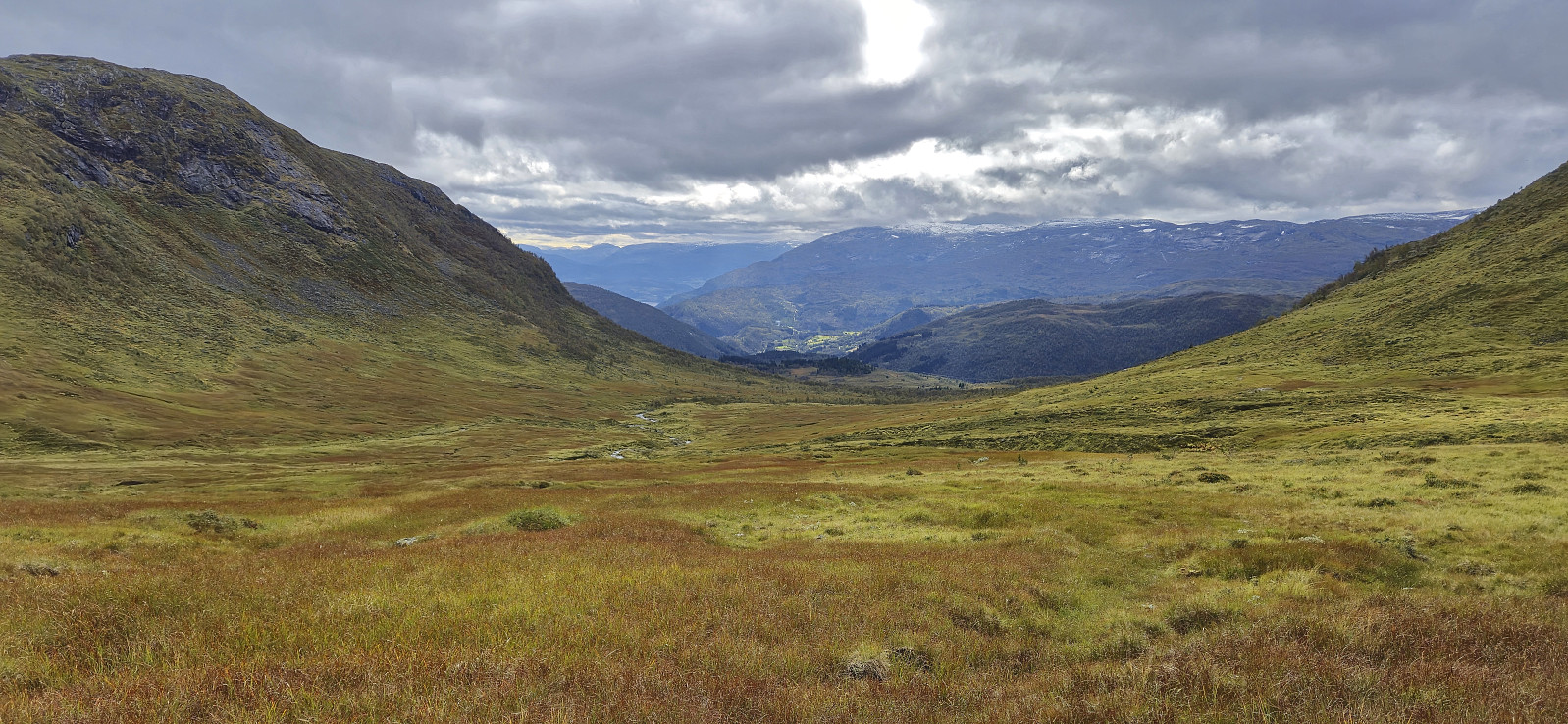
From Såta I made my own way north to the main goal of the day: Tverrfjellet. No trails here as far as I could tell but the terrain was easy to navigate. I made a couple of minor detours along the way but mainly tried to find a route that avoided losing more vertical meters than I had to. The exact highest point was not obvious, and there was no cairn marking the spot, but all of the candidates were within a 5-meter radius. Note that the summit itself seems to be called Fossanipa. At least that is the name that appears if zooming in on the map.
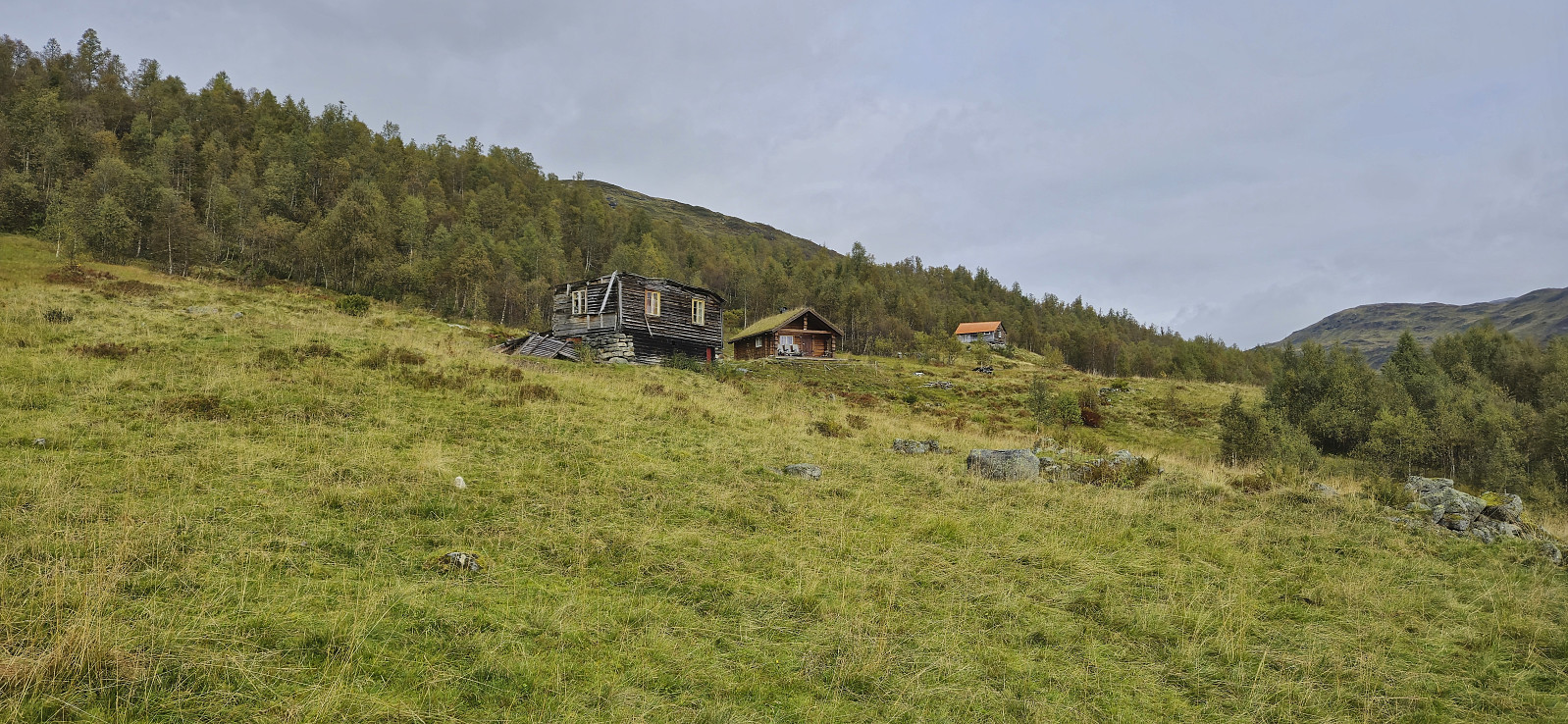
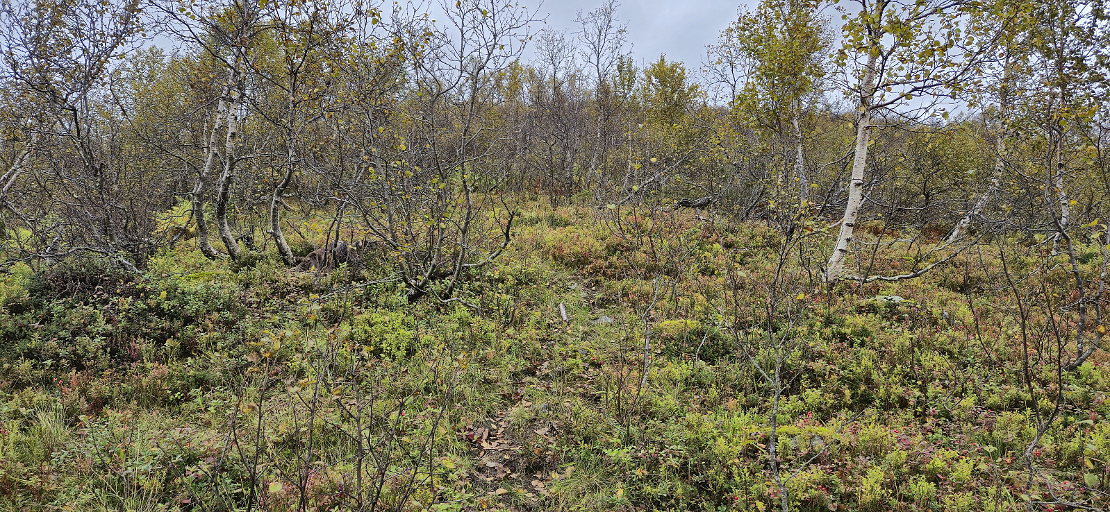
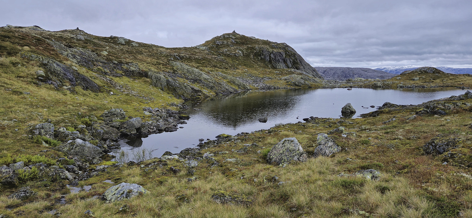
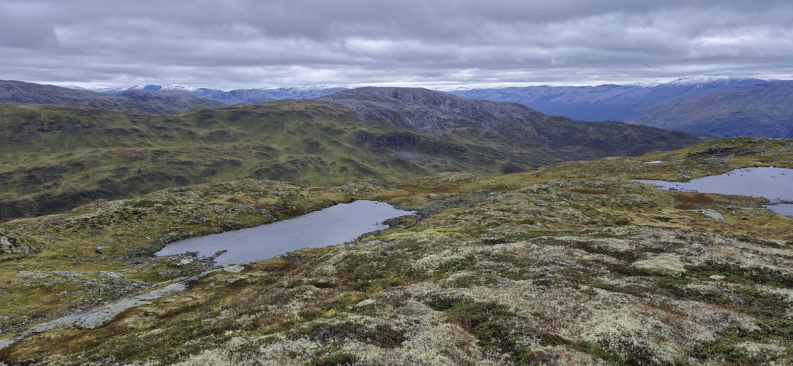
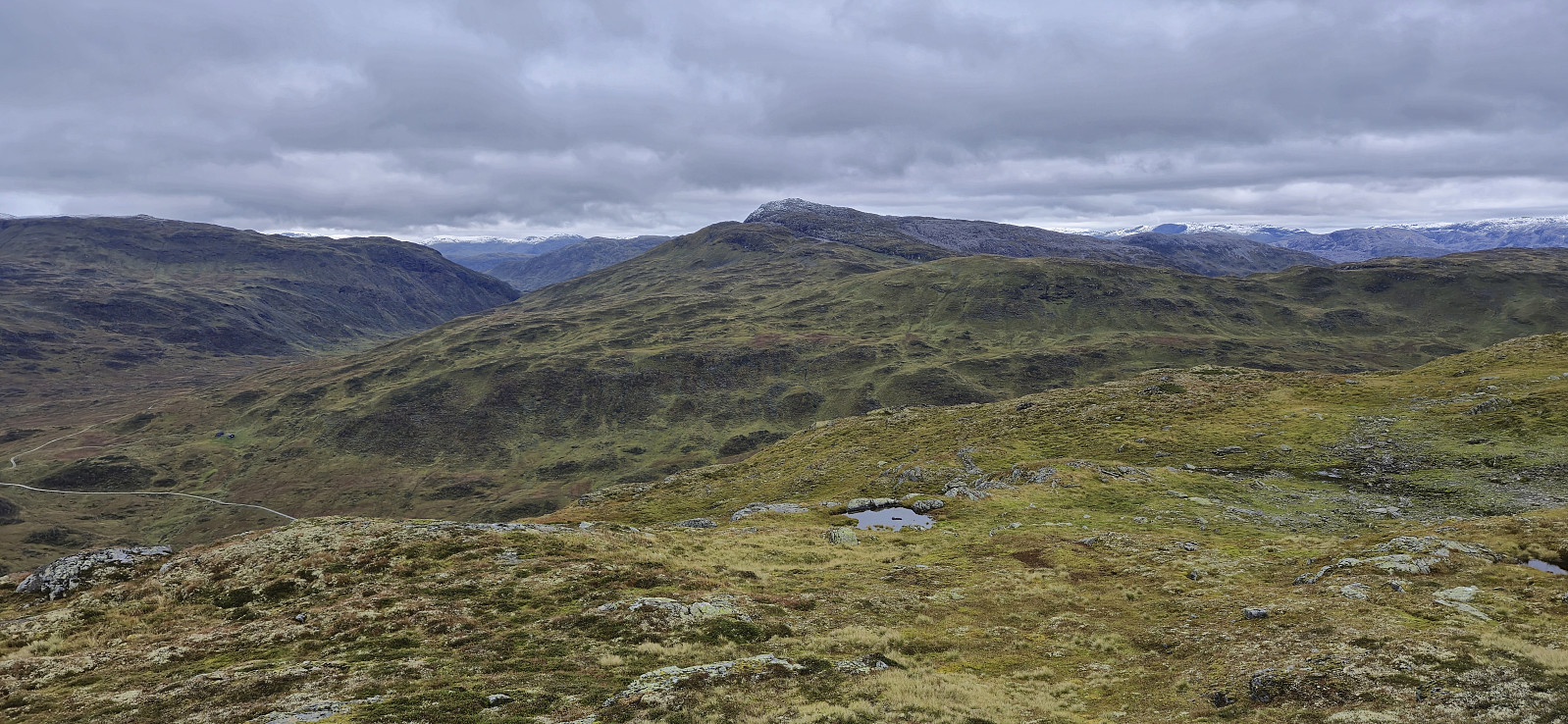
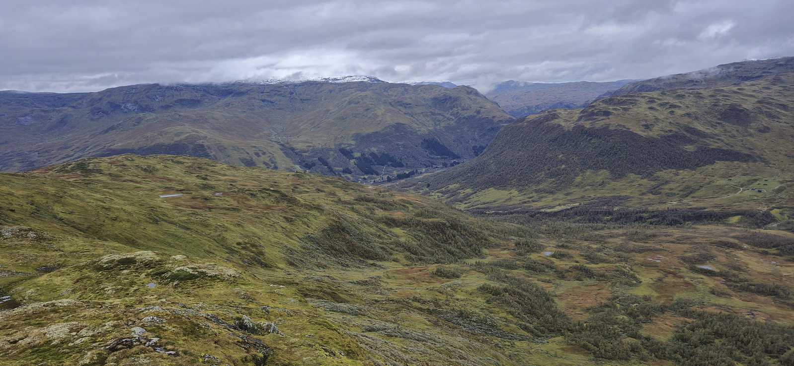
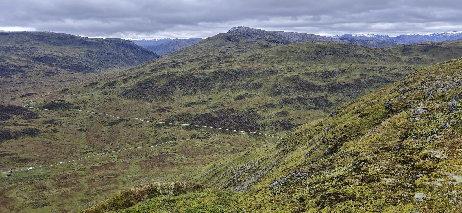
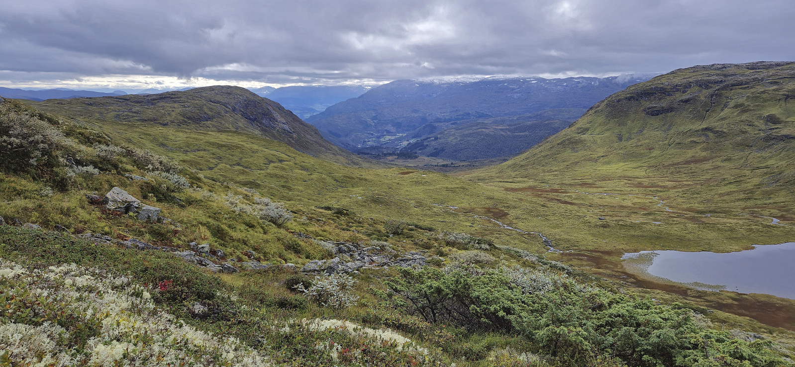
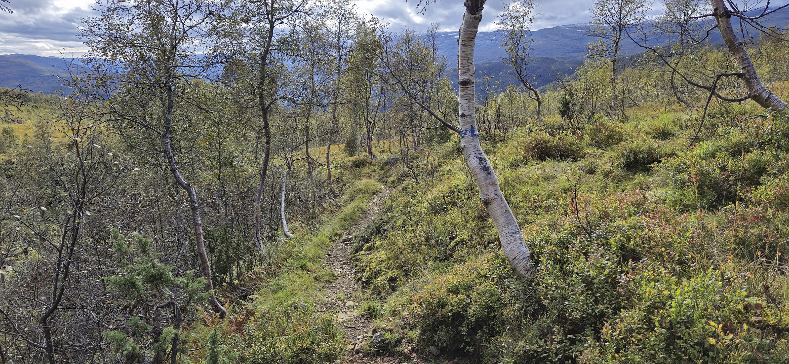
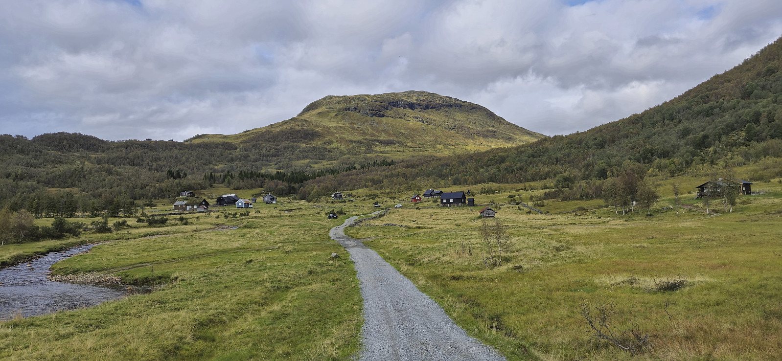
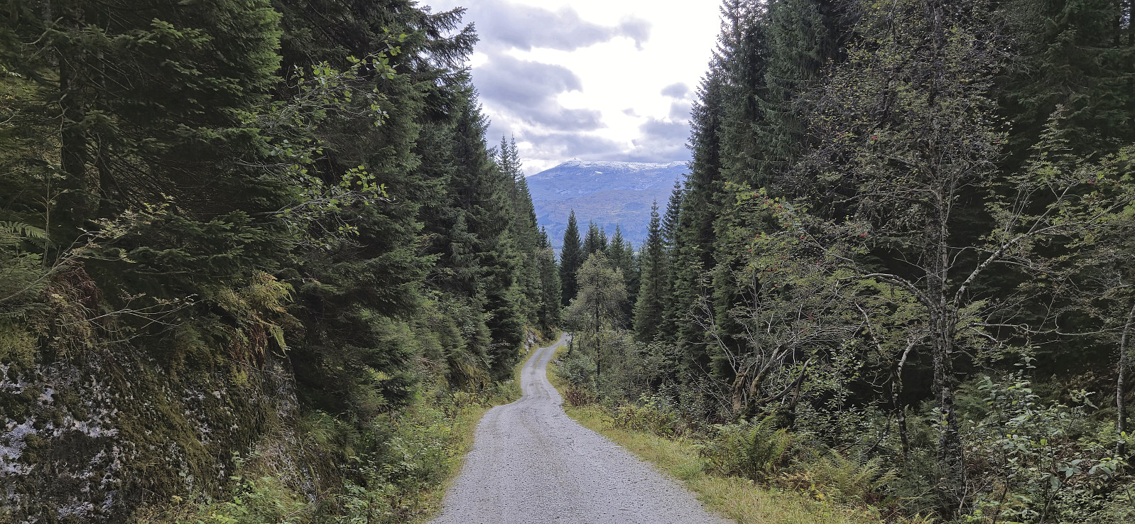
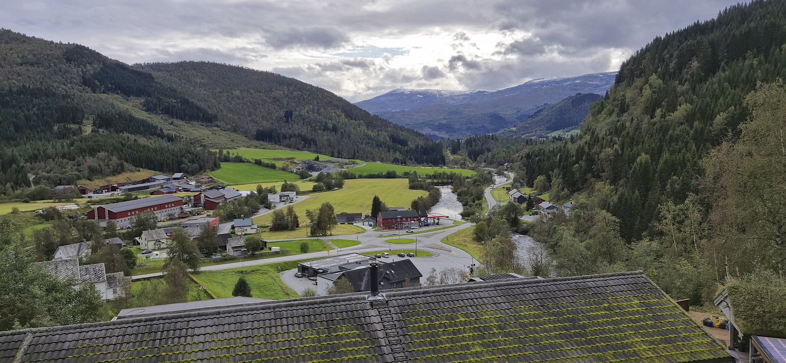
I continued northwest along the ridge to a vantage point providing excellent views into Kvanndalen and Reppabotn, before turning southwest and heading into the valley between Tverrfjellet and Svolefjellet. Here again the map indicated a trail but it was at best very weak and could not be called a proper trail until getting maybe halfway down to Øyaset, where there were even blue painted trail markers. From Øyaset I followed the gravel road all the way to Vinje, except for a minor shortcut towards the end, and arrived with around 35 minutes to spare before the express bus back to Bergen.
In summary, a nice hike with great views that can be highly recommended. But do not have too high hopes for the quality of (most of) the trails indicated on the map.
| Starttidspunkt | 14.09.2024 10:51 (UTC+01:00 ST) |
| Sluttidspunkt | 14.09.2024 16:15 (UTC+01:00 ST) |
| Totaltid | 5t 24min |
| Bevegelsestid | 5t 01min |
| Pausetid | 0t 22min |
| Snittfart totalt | 3,2km/t |
| Snittfart bevegelsestid | 3,4km/t |
| Distanse | 17,1km |
| Høydemeter | 901m |


Kommentarer