Bergsdalen to Eikedalen (13.07.2024)

Written by hbar (Harald Barsnes)

| Start point | Hamlagrøvegen v/Raunehaugen (589m) |
|---|---|
| Endpoint | Samangervegen v/Eikedalen Skisenter (389m) |
| Characteristic | Hillwalk |
| Duration | 9h 11min |
| Distance | 29.2km |
| Vertical meters | 1,553m |
| GPS |
|
| Ascents | Kjerringafjellet (1,138m) | 13.07.2024 11:38 |
|---|---|---|
| Storliknausen (1,193m) | 13.07.2024 13:11 | |
| Visits of other PBEs | Gullhorgabu (853m) | 13.07.2024 14:23 |
| Skeiskvanndalsvatnet bro (551m) | 13.07.2024 18:50 | |
| Eikedalen Skisenter (455m) | 13.07.2024 19:03 |
Bergsdalen to Eikedalen
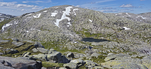
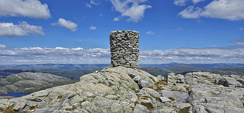
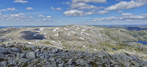
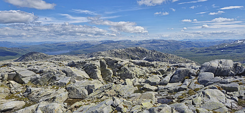
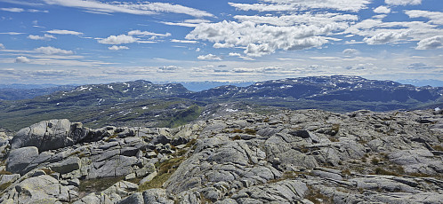
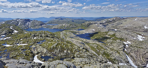
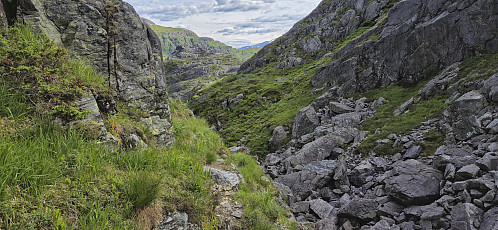
For the second Saturday in a row I took the train to Dale and the bus to Bergsdalen, but where I last week walked north to Evanger, this time I was heading south to Eikedalen. I got off the bus at the start of the road to Raunehaugen where I soon located the unmarked trailhead for Kjerringafjellet. The trail quality varied quite a lot and except for small cairns (mainly) towards the end it was unmarked. At several points I therefore had to check the GPS to make sure I was heading the right way. Near the summit there was also a boulder obstacle course that had to be traversed. The summit provided great views and a nice location for a short lunch break.
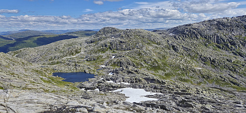
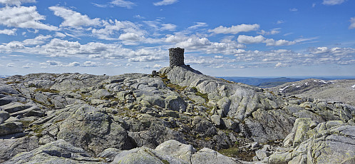
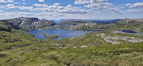
In order to next go to Storliknausen I first returned north towards Såta before carefully navigating my way down to the valley between Kjerringafjellet and Storliknausen. This was overall straightforward, with the part from Kjerringafjellet towards Såta actually being the most complicated due to lots of small ridges with short but steep drops. After finally getting down to the valley it was then easy to complete the ascent to the large summit cairn at Storliknausen.
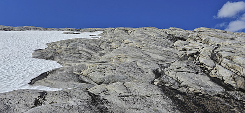
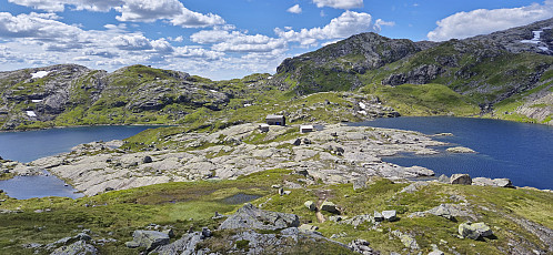
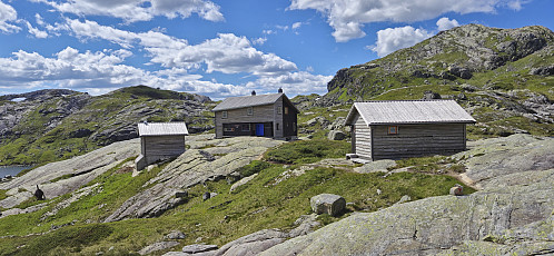
From Storliknausen I continued southwest along the ridge with the goal of finding a route to Gullhorgabu that would hopefully not require any climbing. With more careful navigation this turned out to be relatively easy, although the final part of the descent should probably not be attempted when the steep hill is covered by snow, and just before arriving at Gullhorgabu I connected with the marked trail.
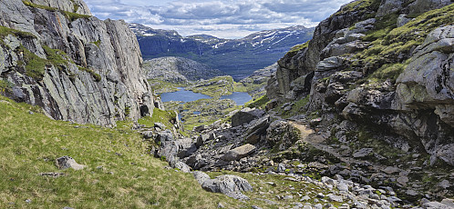
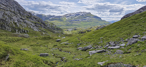
After a short break outside the cabin, I continued south along the marked trail to Eikedalen. Given that I would now be on a marked trail for the rest of the hike I could put the navigation on autopilot and mainly focus on walking fast enough to make it to Eikedalen in time for the final bus of the day. As it turned out, this would be more difficult than I had hoped for.
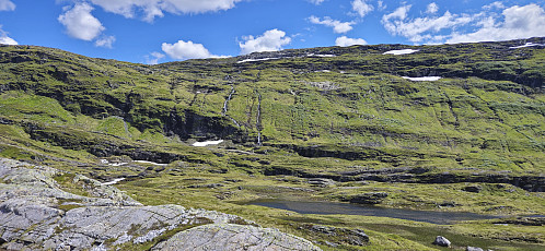
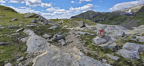
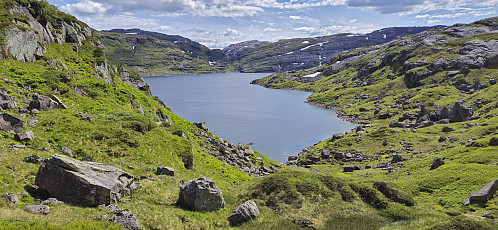
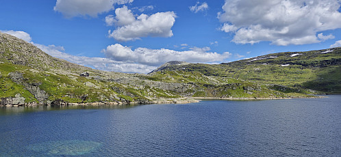
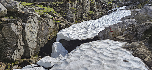
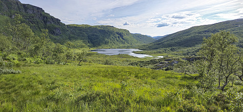
The section from Gullhorgabu to Svartavatnet/Holmavatnet was relatively straightforward. Except for a short steep ascent up from Øvsta Dukavatnet being more difficult than usual. Basically there was a steep section where the trail crosses a small stream. This area was however covered by a thin snow bridge and not safe to cross. I therefore had to go for an alternative route that required a tiny bit of easy scrambling. The trail markers for this whole section were generally easy to follow, although I made the same mistake as for my last visit to the area when approaching the gravel road and had to backtrack to reconnect with the marked trail.
When I got to the gravel road below Svartavatnet/Holmavatnet I did a quick calculation and concluded that I had to increase my speed quite a lot if I was to have any chance of catching the bus at Eikedalen. I therefore greatly picked up the speed as I continued south along the marked trail.
After a steep initial ascent I however lost the markers east of Røyrfjellet, and with no the time to search I instead made my own shortcut directly south to reconnect with the marked trail southwest of Kråketjørna. Now I was in familiar territory and it was relatively easy to make progress. I still had to keep the speed up though, and even turned to jogging when getting to the gravel road along Teigaelva. In the end I made it to the bus stop with less than ten minutes to spare.
In summary, a long but very nice hike that can be recommended. Probably even nicer if not having to almost run for the last two hours though. ;)
| Start date | 13.07.2024 10:02 (UTC+01:00 DST) |
| End date | 13.07.2024 19:14 (UTC+01:00 DST) |
| Total Time | 9h 11min |
| Moving Time | 8h 33min |
| Stopped Time | 0h 38min |
| Overall Average | 3.2km/h |
| Moving Average | 3.4km/h |
| Distance | 29.2km |
| Vertical meters | 1,552m |






User comments
Not...
Written by HHauser 20.07.2024 12:50... only 30km (!!), but then also running the last two hours -- oi, oi, oi, you're WILD! :-) Your text suggests that you still enjoyed it -- I really hope that this is true! :-)
All the best!
Re: Not...
Written by hbar 21.07.2024 14:53Yes, I overall did enjoy it! But think I would perhaps have felt a bit differently if I ended up not catching the bus... ;)