
Skorpo (01.05.2024)

Written by hbar (Harald Barsnes)

| Start point | Søre Skorpevågen (2m) |
|---|---|
| Endpoint | Søre Skorpevågen (2m) |
| Characteristic | Hillwalk |
| Duration | 1h 59min |
| Distance | 5.2km |
| Vertical meters | 327m |
| GPS |
|
| Ascents | Skorpo (237m) | 01.05.2024 |
|---|
Skorpo
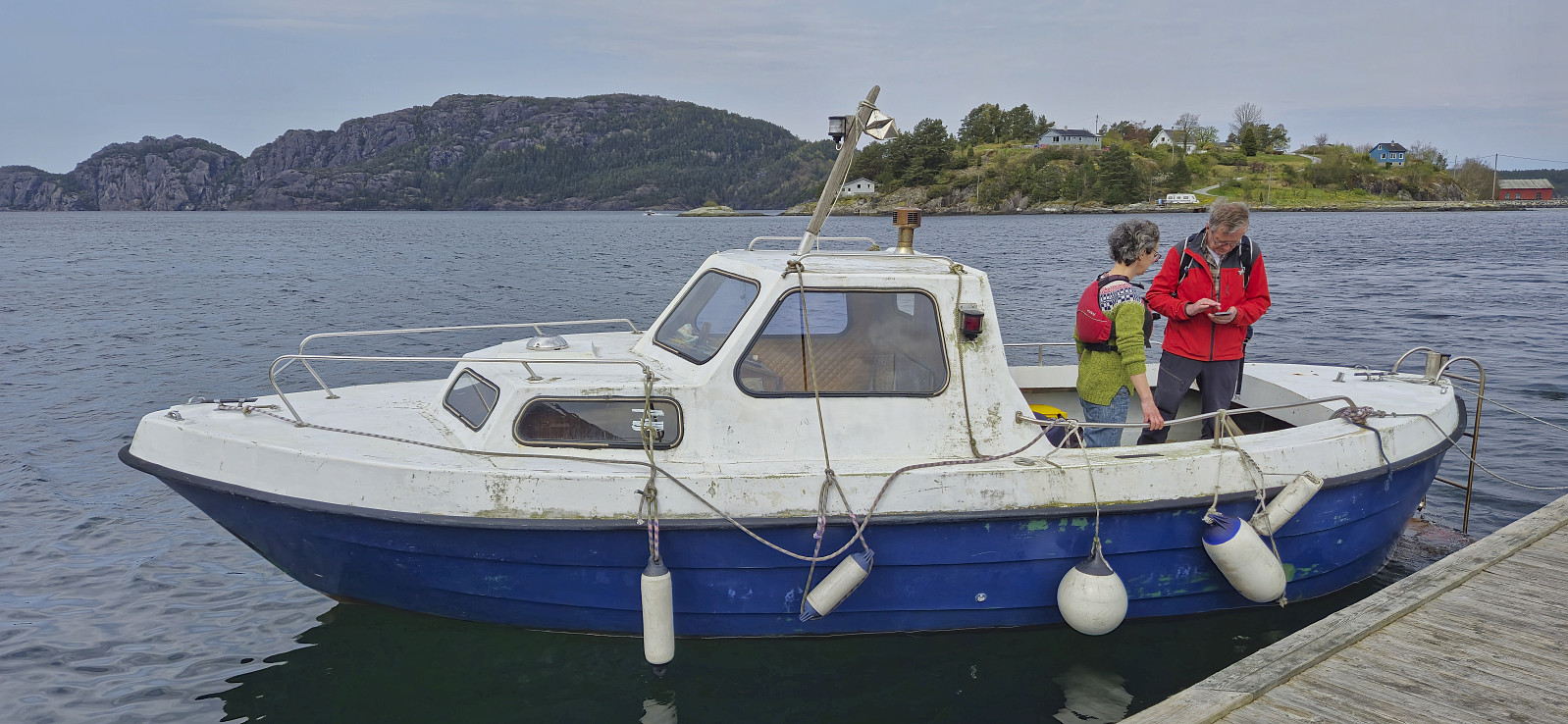
Shortly after our successful ascent of Storhaugen på Seløy, Kjell managed to secure yet another boat ride, this time to from Stølavika to the island of Skorpo. Once more both Petter and Endre were eager to join, but in the end Endre decided to instead use the one to retrieve his car in Ortnevik (left there after his impressive skiing trip to Voss).
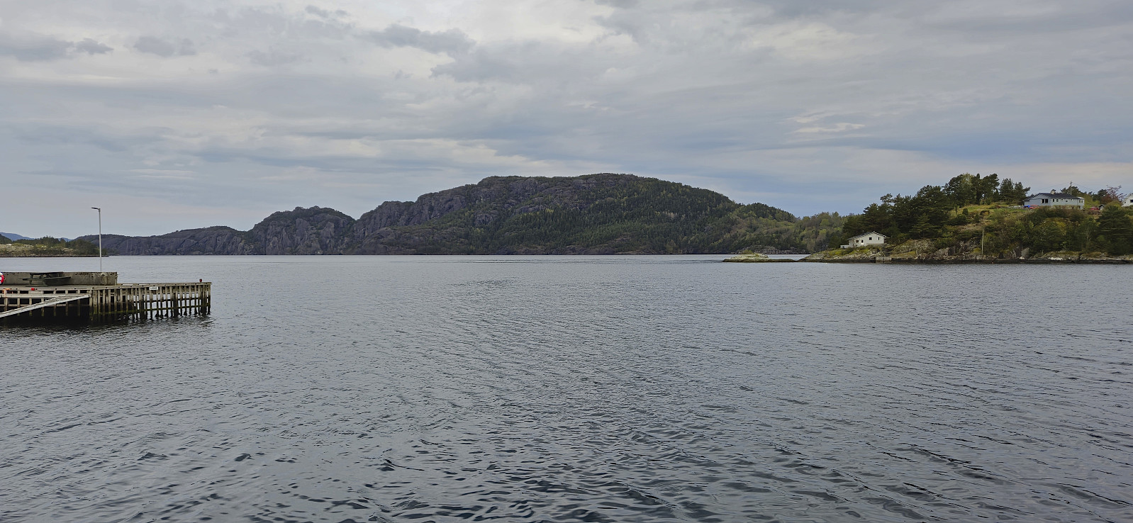
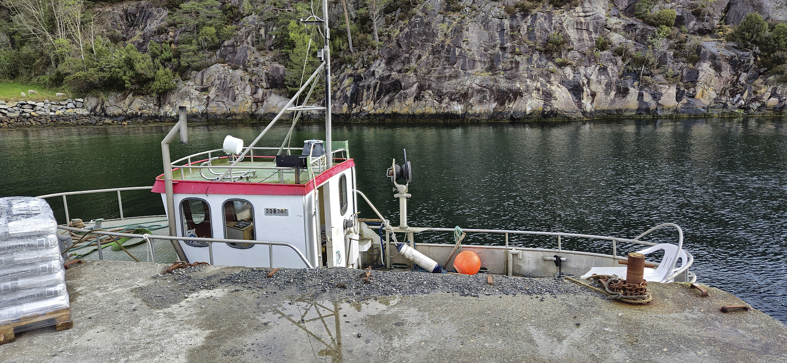
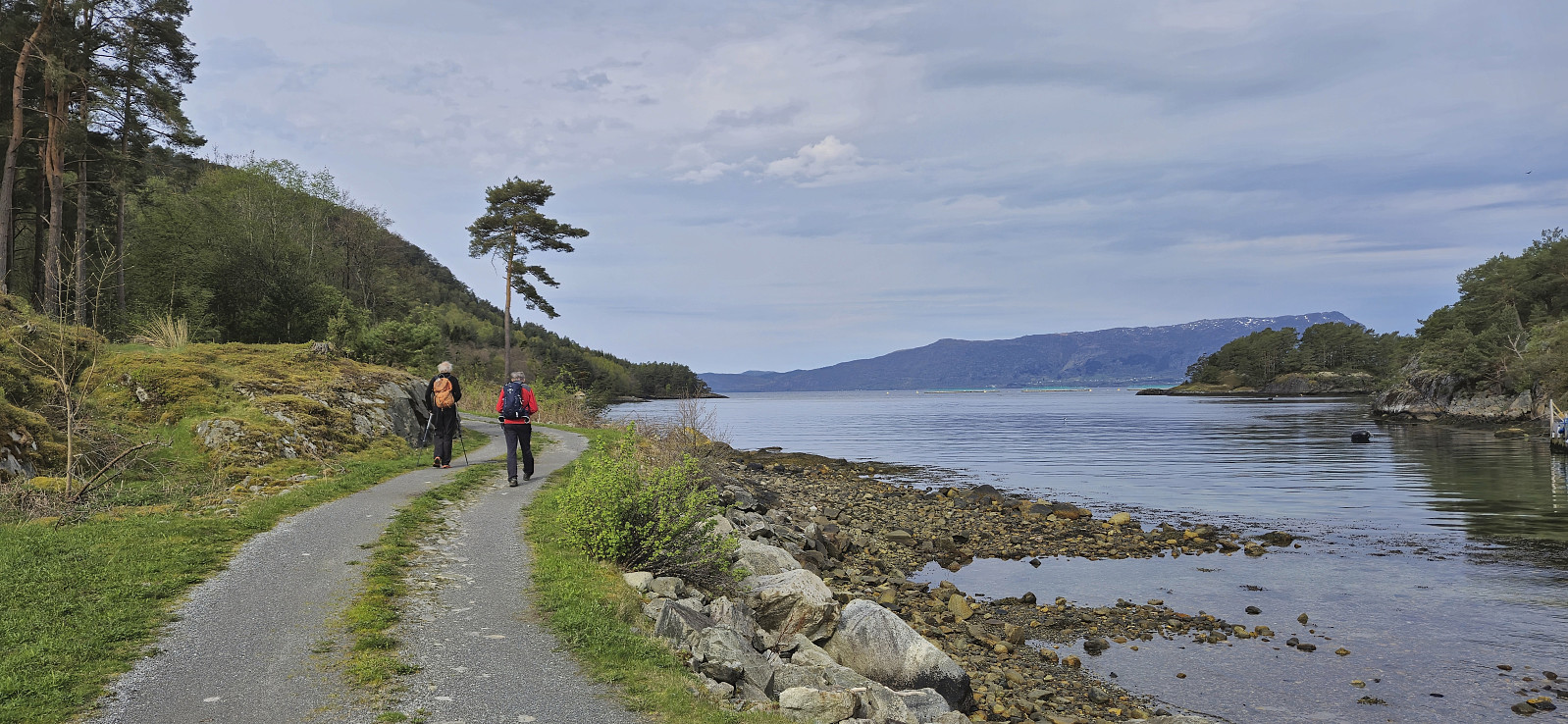
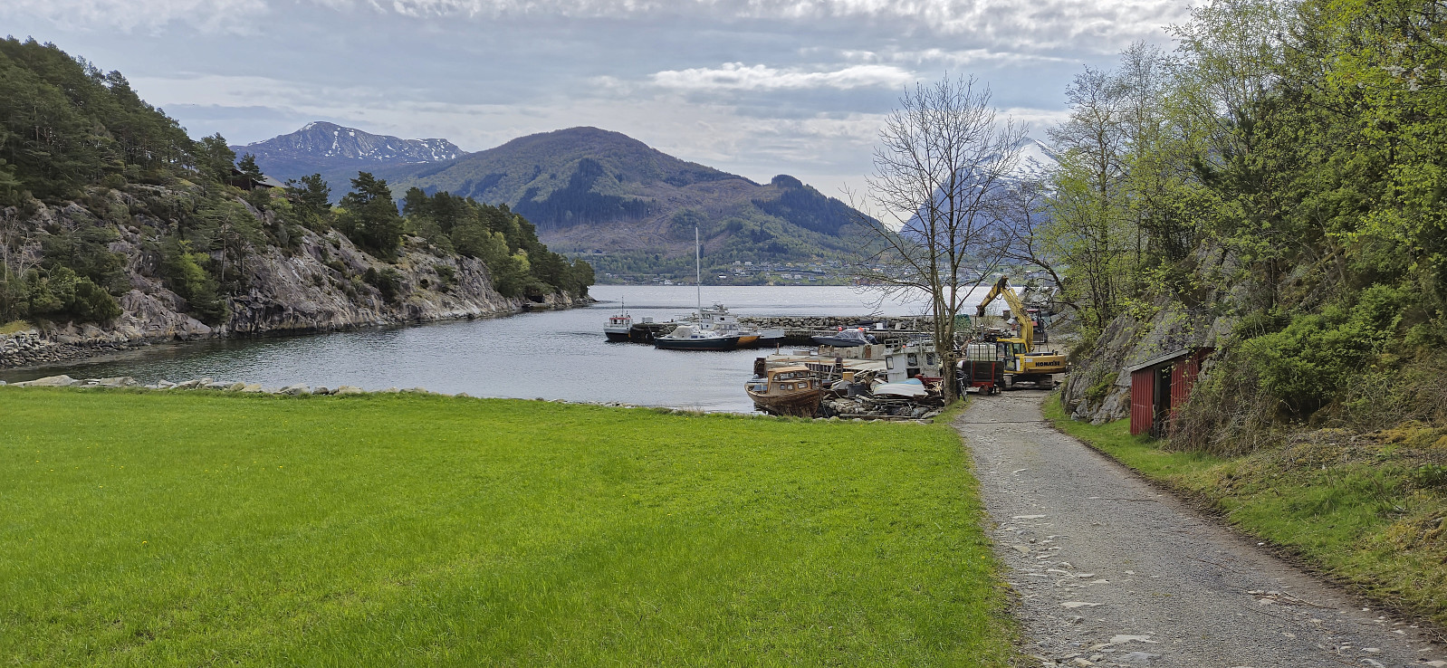
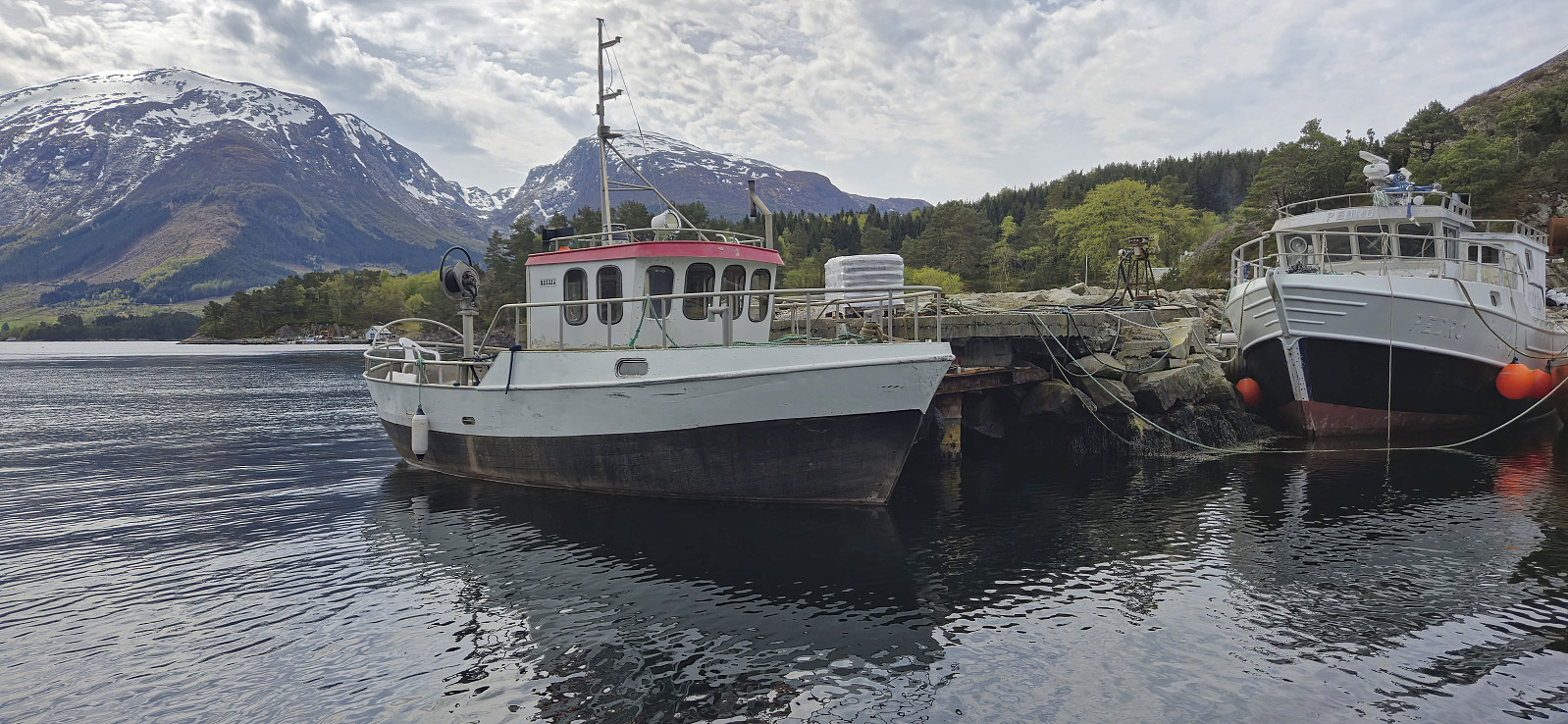
Petter picked me up at 07:00 for the drive to Gjermundshamn and the ferry to Årsnes. We met up with Kjell on the ferry and drove together from Årsnes to the agreed upon pickup point in Stølavika, where only minutes later the boat showed up and transported us to Søre Skorpevågen at Skorpo. A short trip taking less than ten minutes.
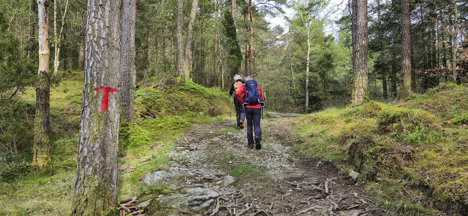
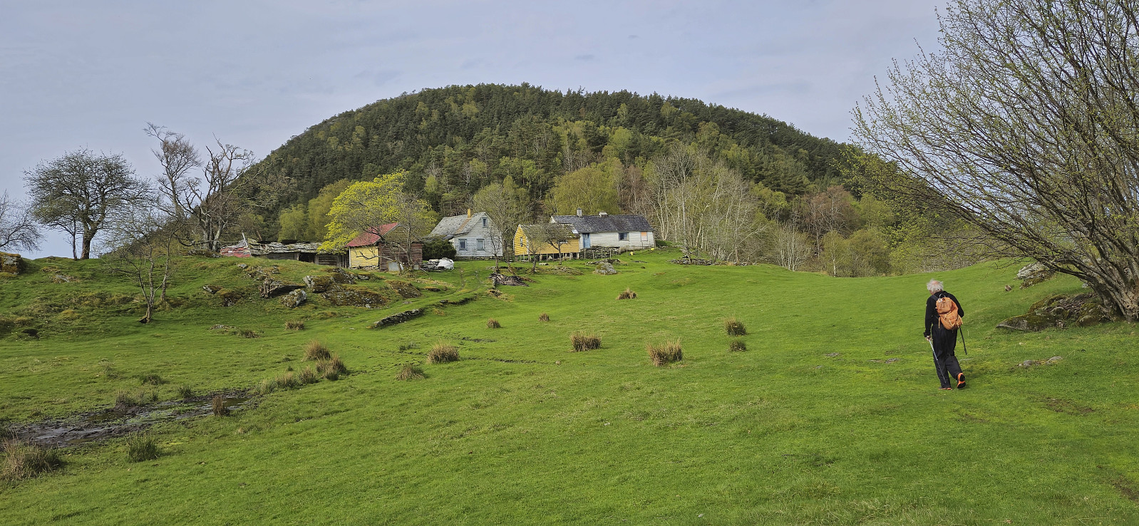
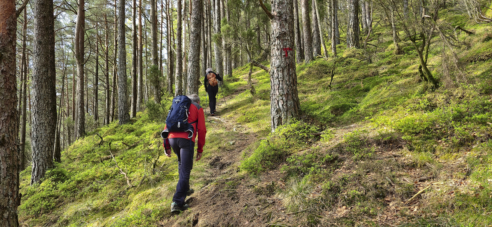
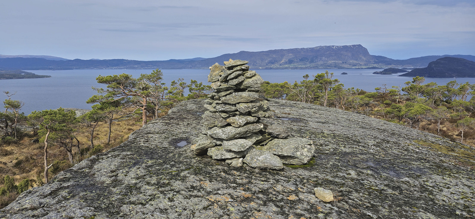
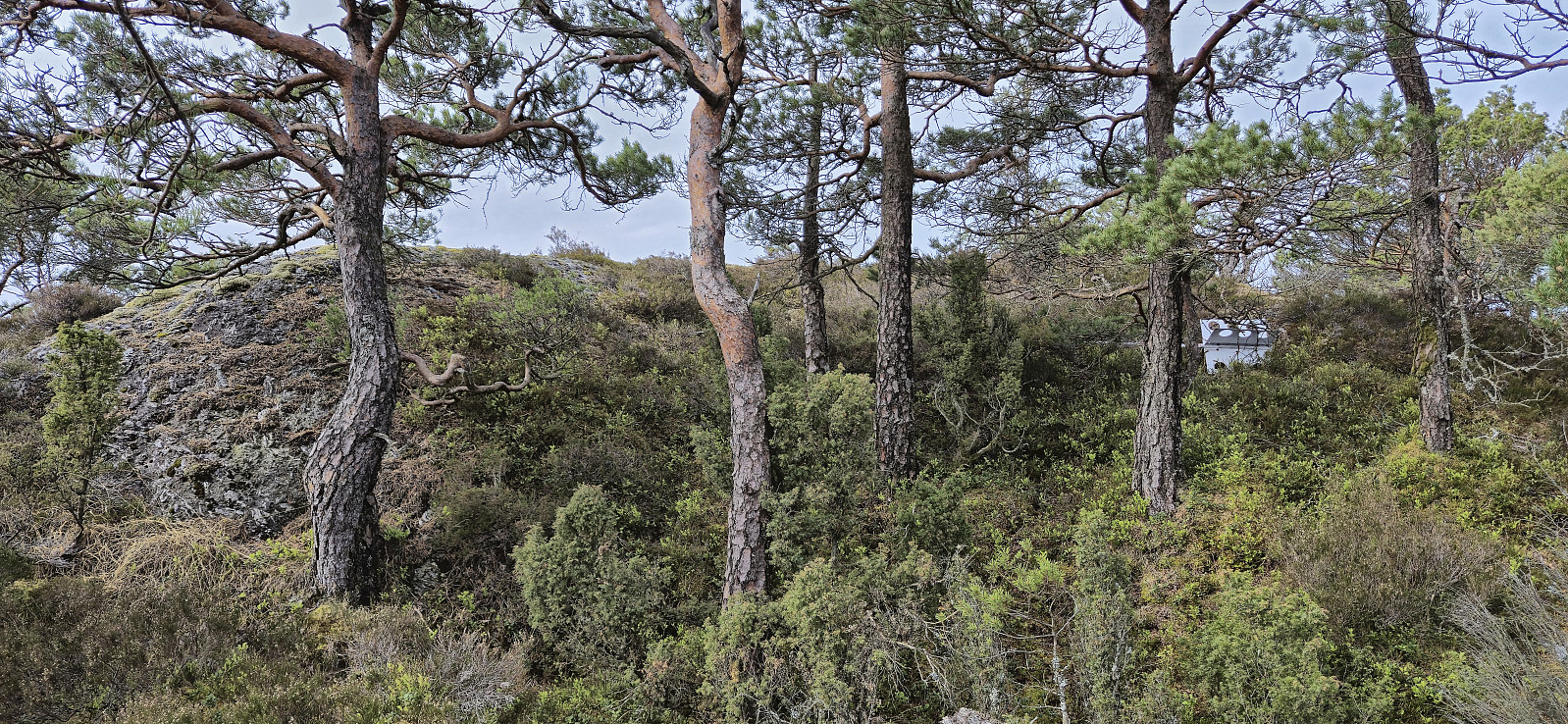
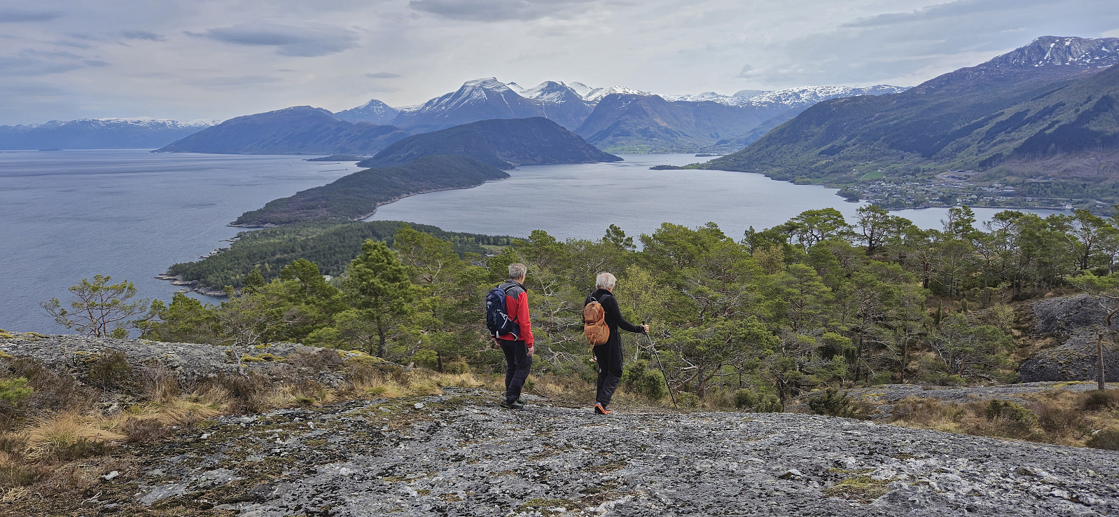
From Søre Skorpevågen we did as recommend by the boat owner and followed a gravel road west until reaching a tractor road, and later trail, marked with red T's, which we then proceeded to follow up to the cairn at the hill east of the summit, referred as Vardhaugen (or just Varden). This was clearly the goal of most hikers and the marked trail ended here.
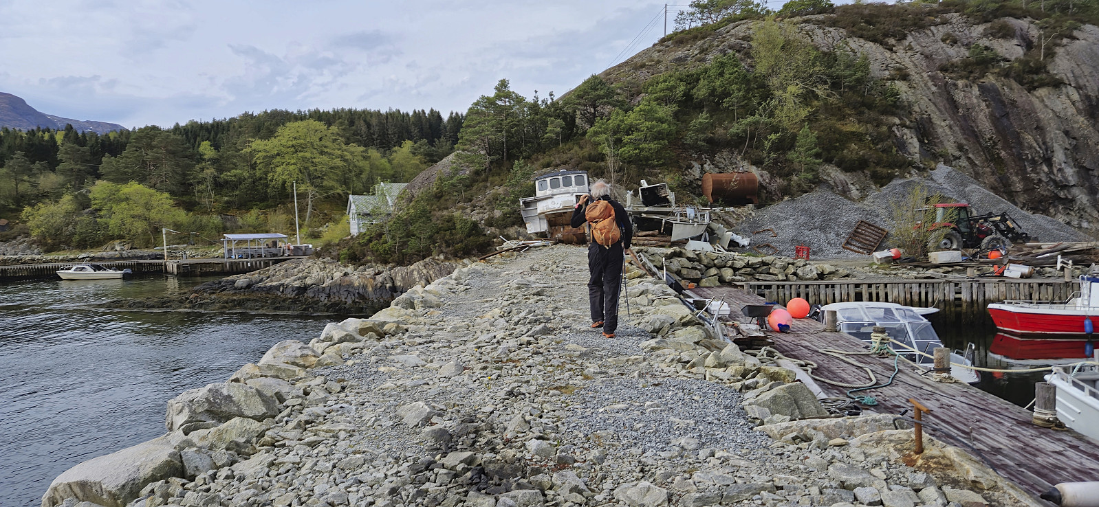
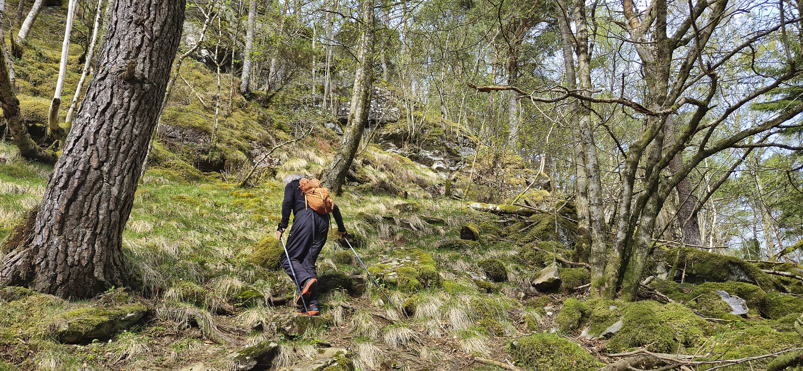
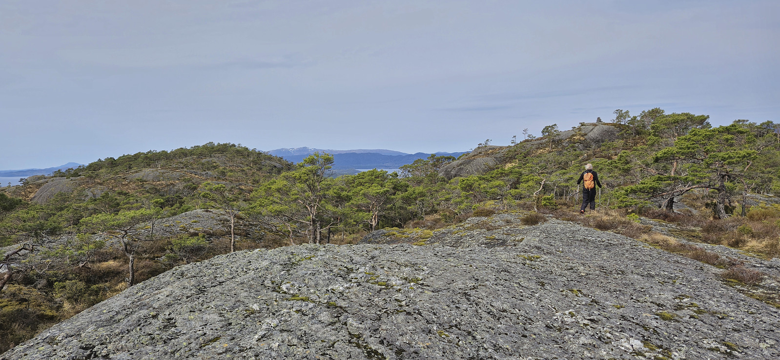
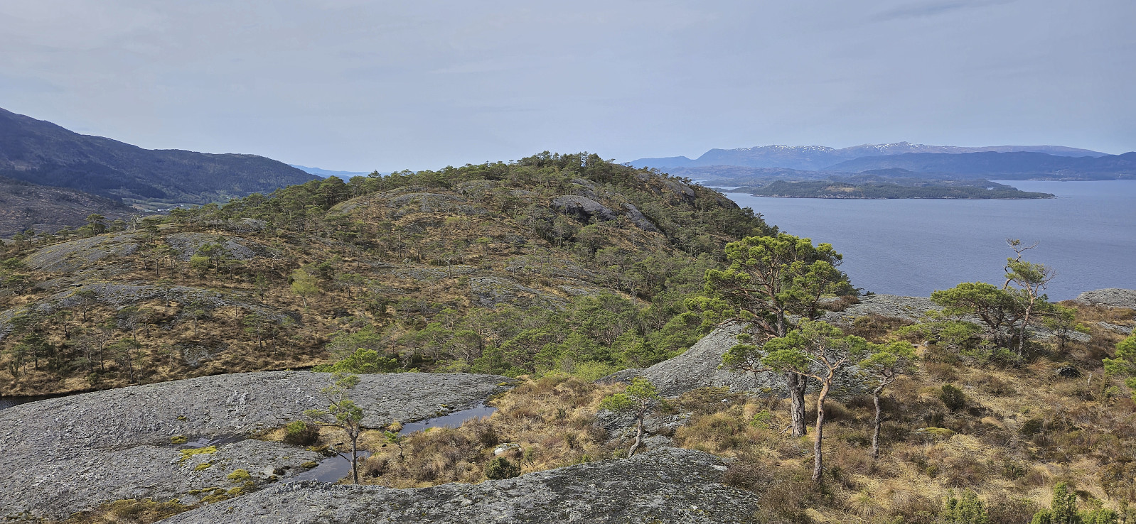
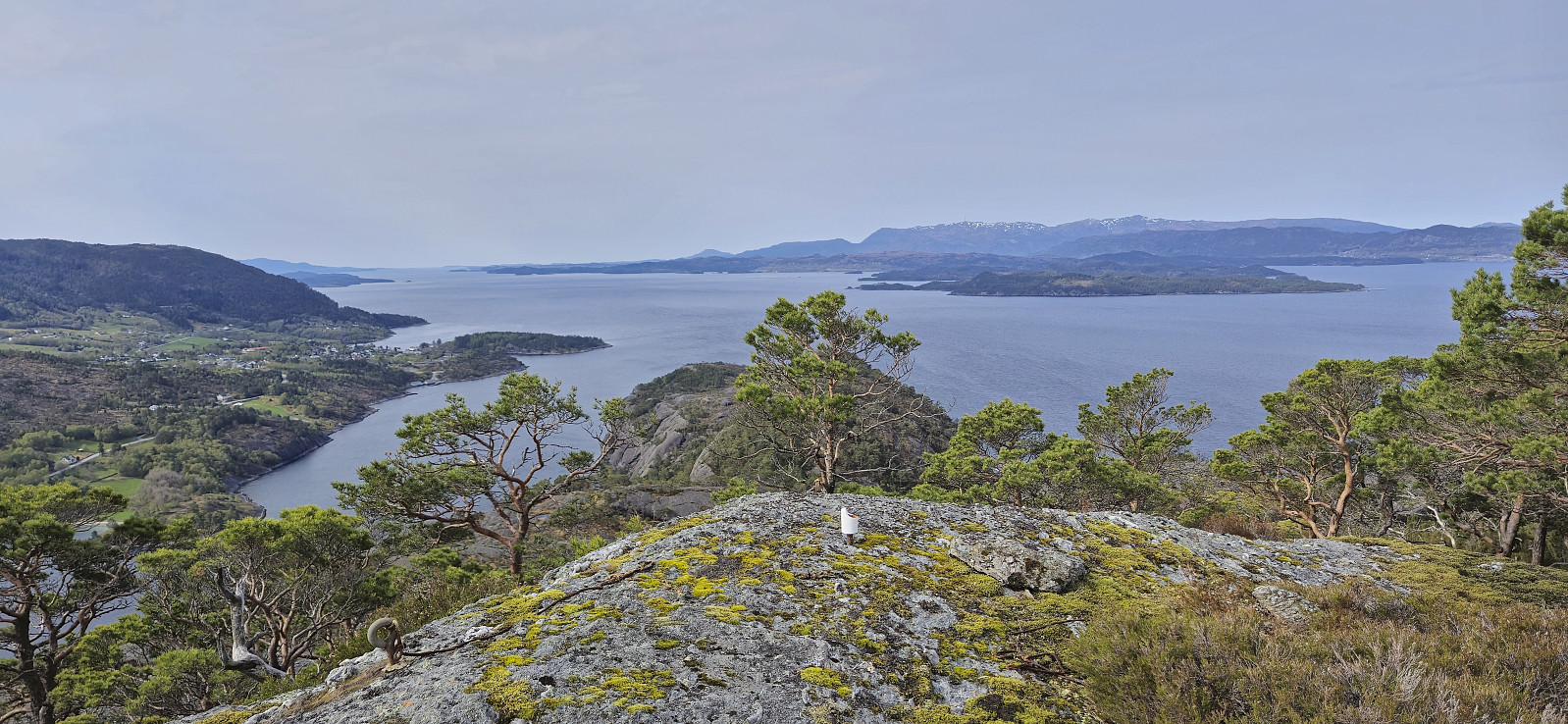
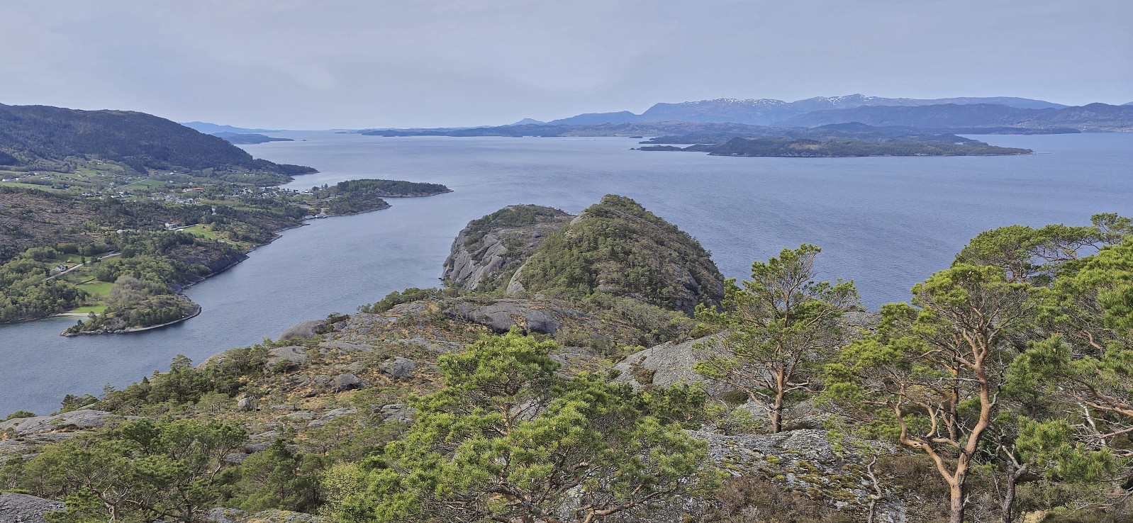
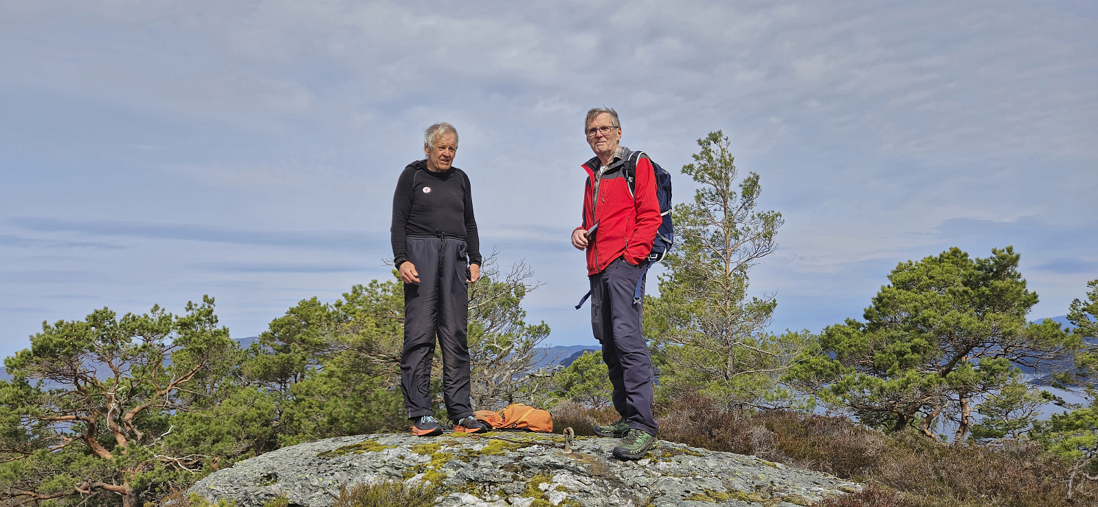
Vardhaugen was however not the highest point on the island and after a couple of pictures we continued off-trail to the real summit along various deer tracks. This was overall straightforward and the summit was reached without any issues. We returned the same way to Søre Skorpevågen, where we, after a short break, were once more transported back to the mainland (although in a different boat).
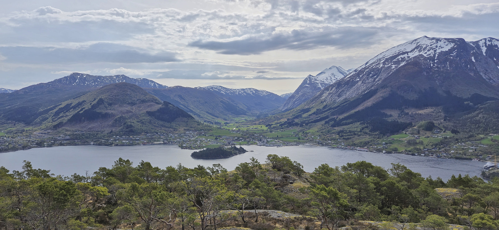
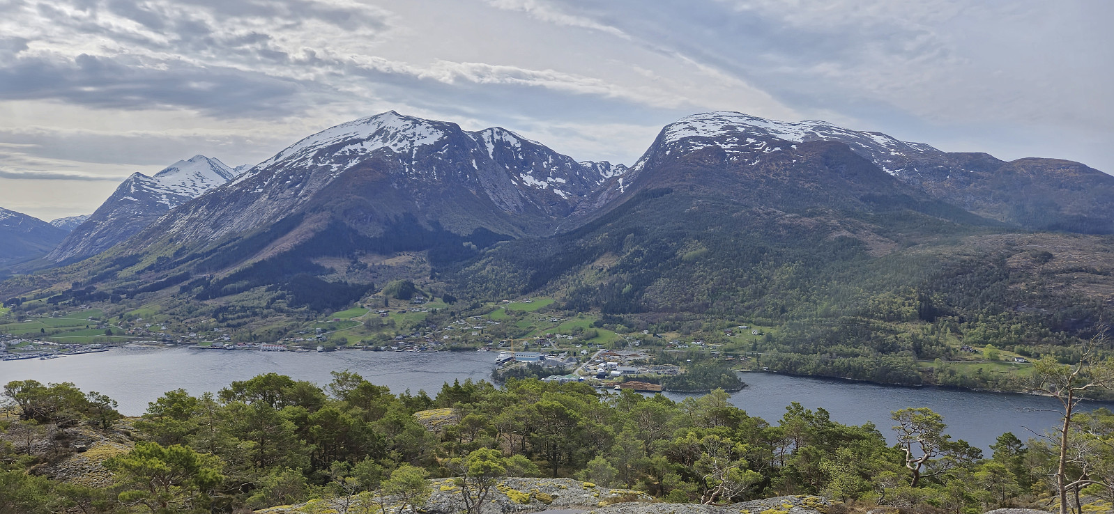
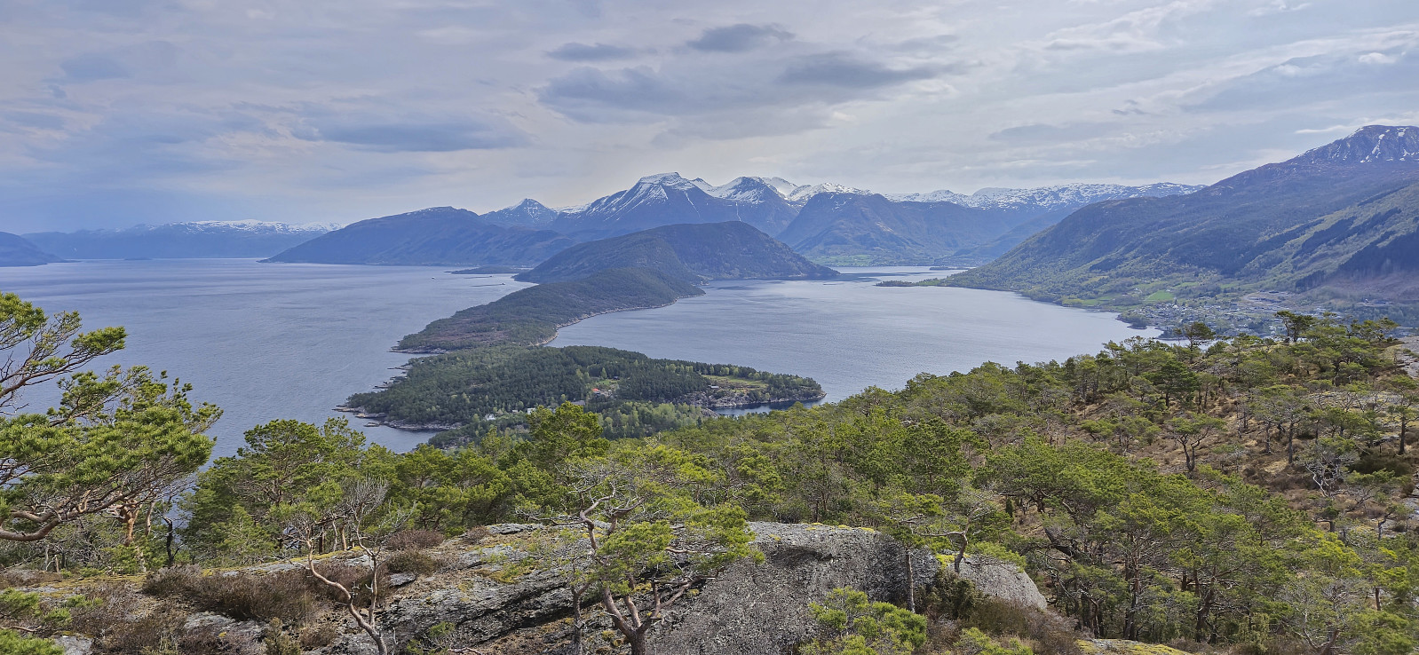
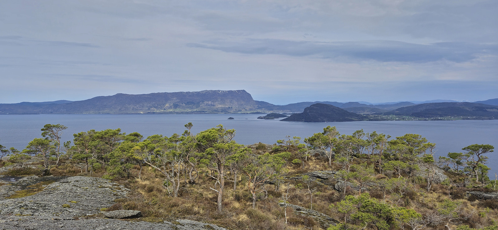
A nice short hike along marked trails with excellent views. Takk for turen, Kjell og Petter!
| Start date | 01.05.2024 10:04 (UTC+01:00 DST) |
| End date | 01.05.2024 12:03 (UTC+01:00 DST) |
| Total Time | 1h 59min |
| Moving Time | 1h 43min |
| Stopped Time | 0h 15min |
| Overall Average | 2.6km/h |
| Moving Average | 3.0km/h |
| Distance | 5.2km |
| Vertical meters | 327m |


User comments