
Barhaugen (18.02.2024)

Written by hbar (Harald Barsnes)

| Start point | Bønes senter (93m) |
|---|---|
| Endpoint | Oasen terminal (41m) |
| Characteristic | Hike |
| Duration | 0h 54min |
| Distance | 3.8km |
| Vertical meters | 99m |
| GPS |
|
| Visits of other PBEs | Barhaugen (146m) | 18.02.2024 |
|---|---|---|
| Bøneshallen p-plass (110m) | 18.02.2024 |
Barhaugen
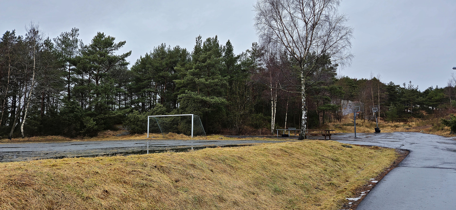
When writing the trip report after my visit of the trig marker at Bønes I came across a new candidate for the Alle topper i Bergen list, namely Barhaugen, a minor hill west of Bøneshallen. Given the steep drop to the west there was even the potential for some good views. I therefore once more took the bus to “Bønes senter” but this time headed north to explore Barhaugen.
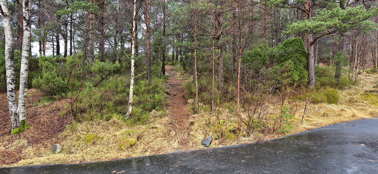
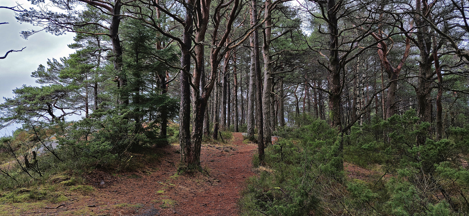
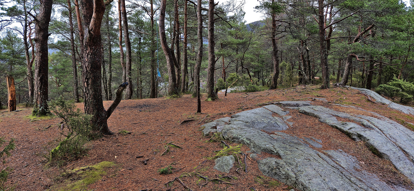
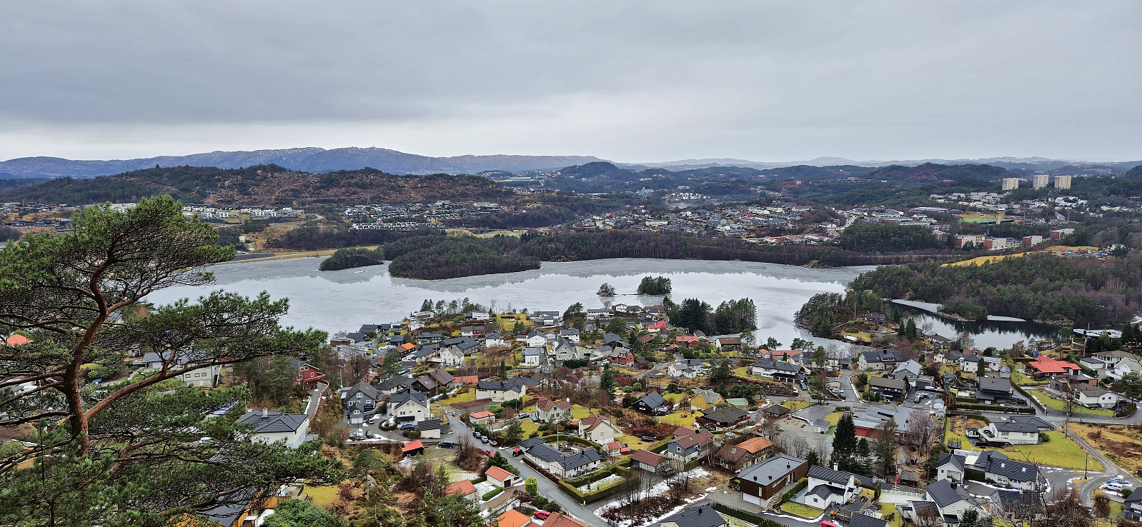
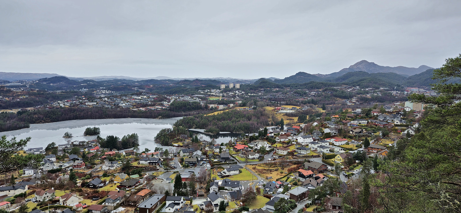
The summit could be easily reached via a trail from the south, however the best views were obtained just southwest of the summit with a great overview of Sælevatnet with both Liatårnet/Pyttane and Lyderhorn prominently visible in the distance. Note that I did not manage to add it as a new peak (148 m, PF=29) (as it was too similar to existing peaks), but given the great views I therefore added it as a vantage point instead.
I returned the same way before concluding the hike by following various roads and separate walking paths to Oasen for the bus back to Lønborg.
| Start date | 18.02.2024 13:17 (UTC+01:00) |
| End date | 18.02.2024 14:11 (UTC+01:00) |
| Total Time | 0h 54min |
| Moving Time | 0h 54min |
| Stopped Time | 0h 0min |
| Overall Average | 4.3km/h |
| Moving Average | 4.3km/h |
| Distance | 3.8km |
| Vertical meters | 98m |


User comments