
Bjørnahifjellet and Utsletteslottet (17.02.2024)

Geschrieben von hbar (Harald Barsnes)

| Startpunkt | Litlabø (13m) |
|---|---|
| Endpunkt | Dyvik (25m) |
| Tourcharakter | Bergtour |
| Tourlänge | 5h 13min |
| Entfernung | 12,6km |
| Höhenmeter | 772m |
| GPS |
|
| Besteigungen | Bjørnahifjellet (390m) | 17.02.2024 |
|---|---|---|
| Utslettefjellet (252m) | 17.02.2024 | |
| Besuche anderer PBE | Bjødnahiet (286m) | 17.02.2024 |
| Utsletteslottet (244m) | 17.02.2024 | |
| Stordalselvo gangbro (60m) | 17.02.2024 | |
| Storsynken (85m) | 17.02.2024 | |
| Øykjedalen p-plass (45m) | 17.02.2024 |
Bjørnahifjellet and Utsletteslottet
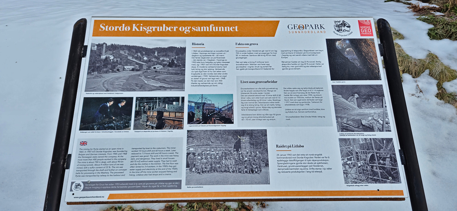
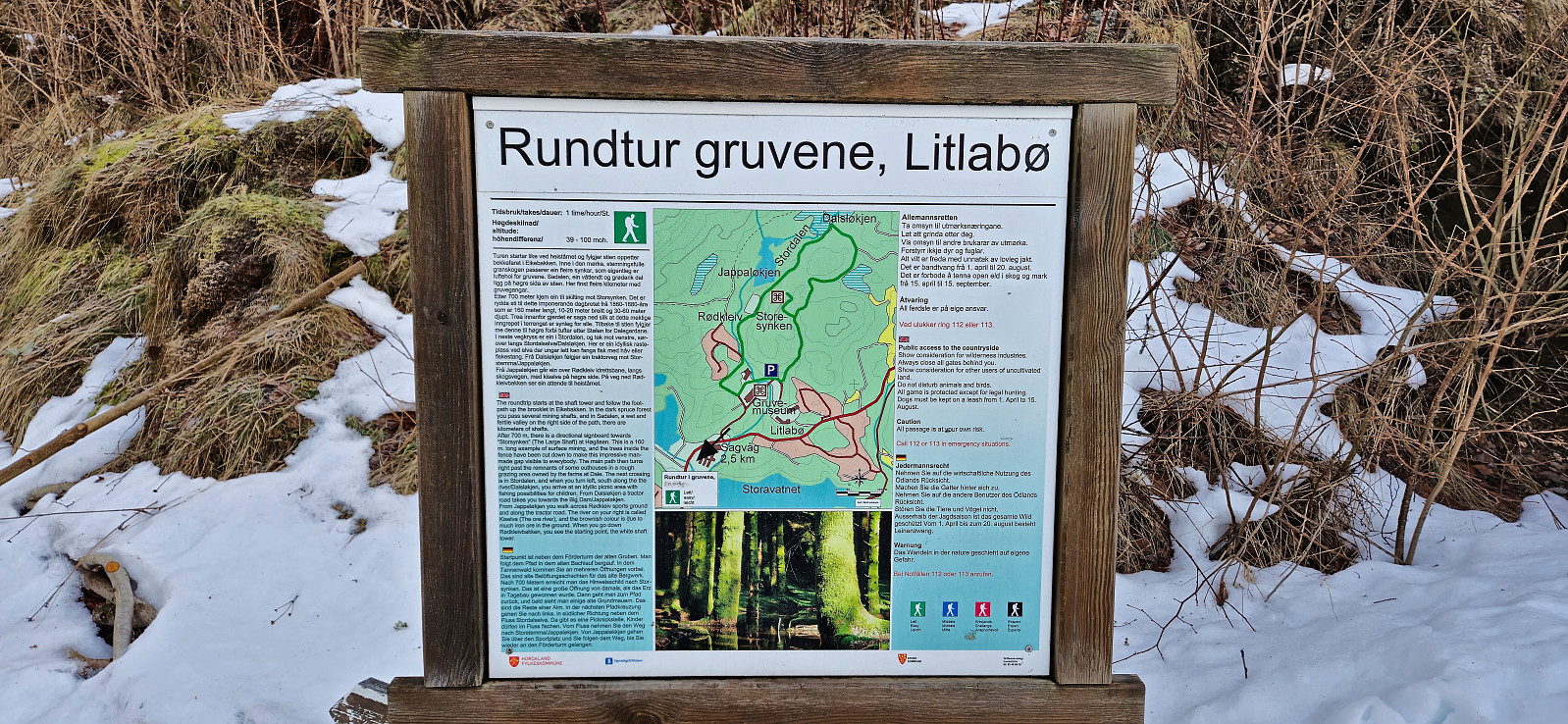
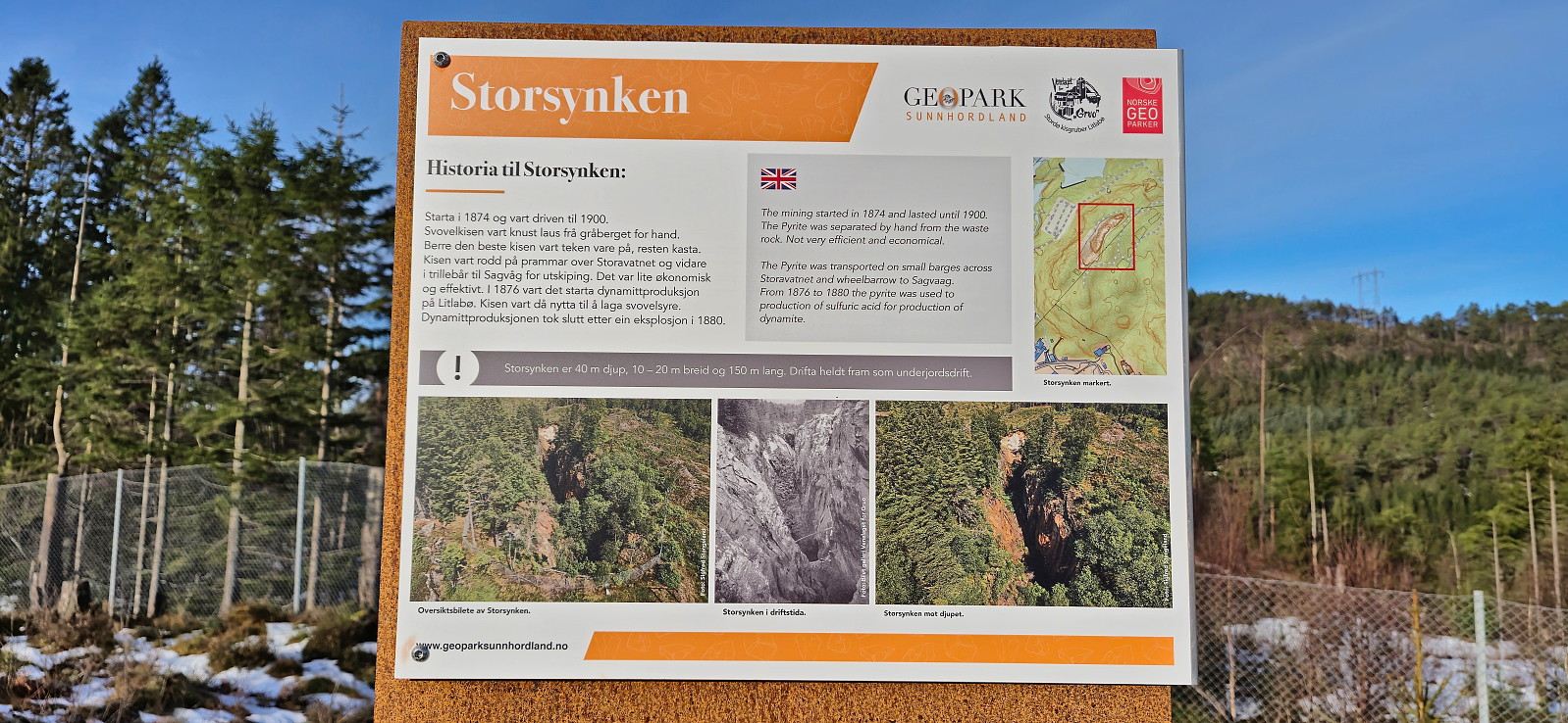
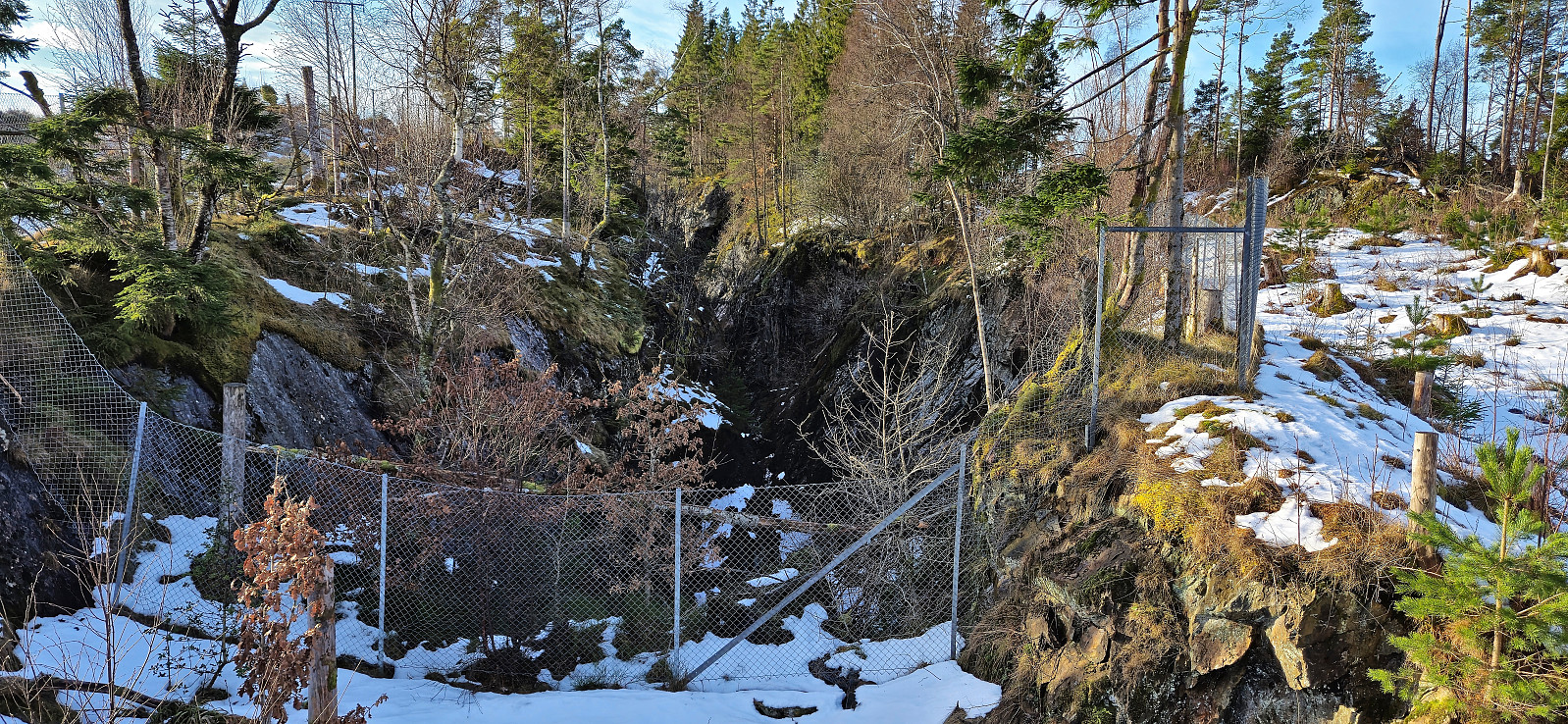
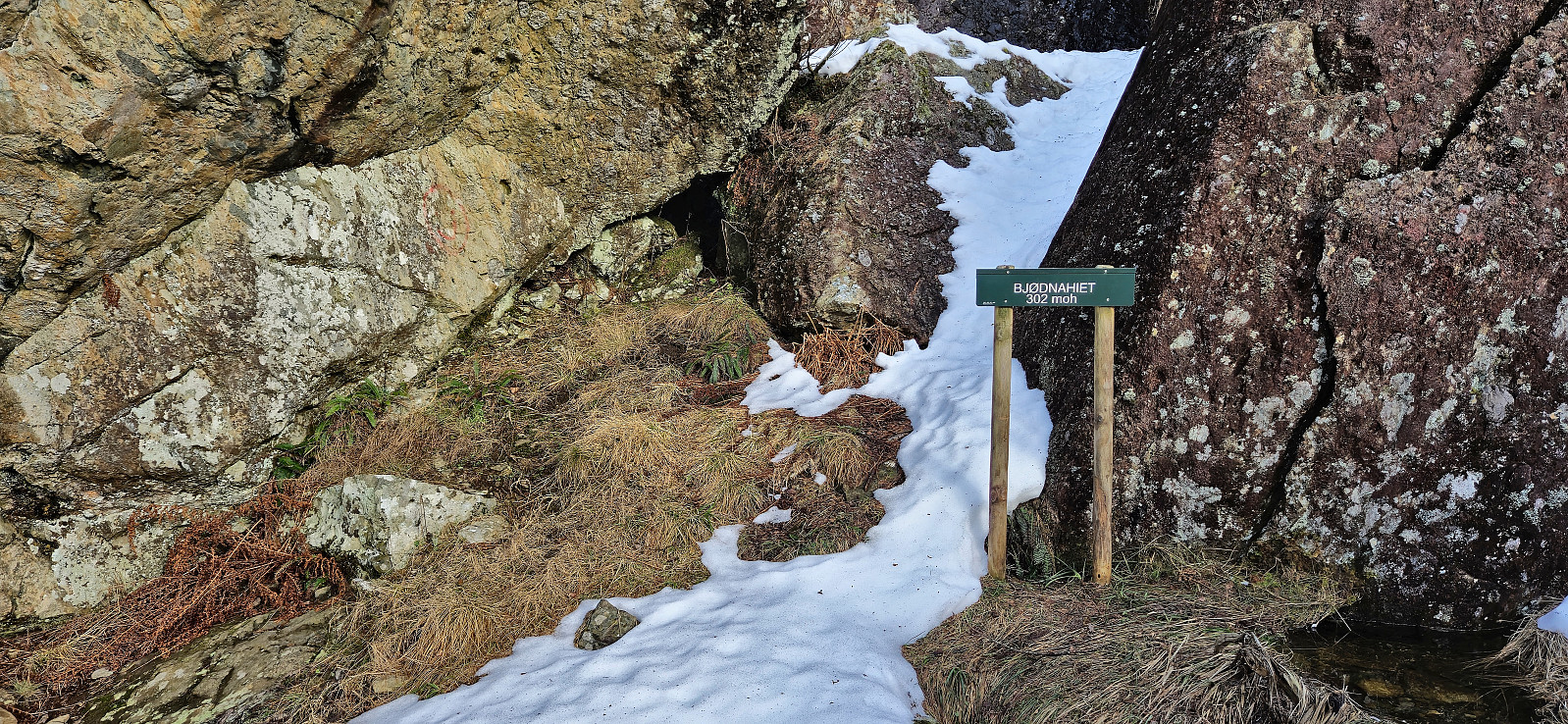
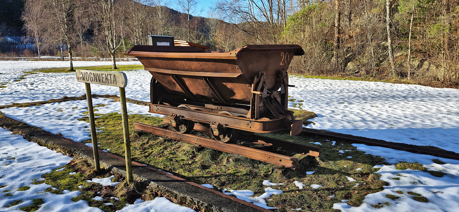
A return to Stord for a visit of Bjørnahifjellet, a minor summit on the Opptur Hordaland list. I started by taking the express bus from Bergen to Leirvik where I switched to a local bus to Litlabø. After a brief exploration of some of the buildings related to the mining museum I continued on a marked route via Storsynken before leaving the mines behind and following the signs for Bjødnahiet.
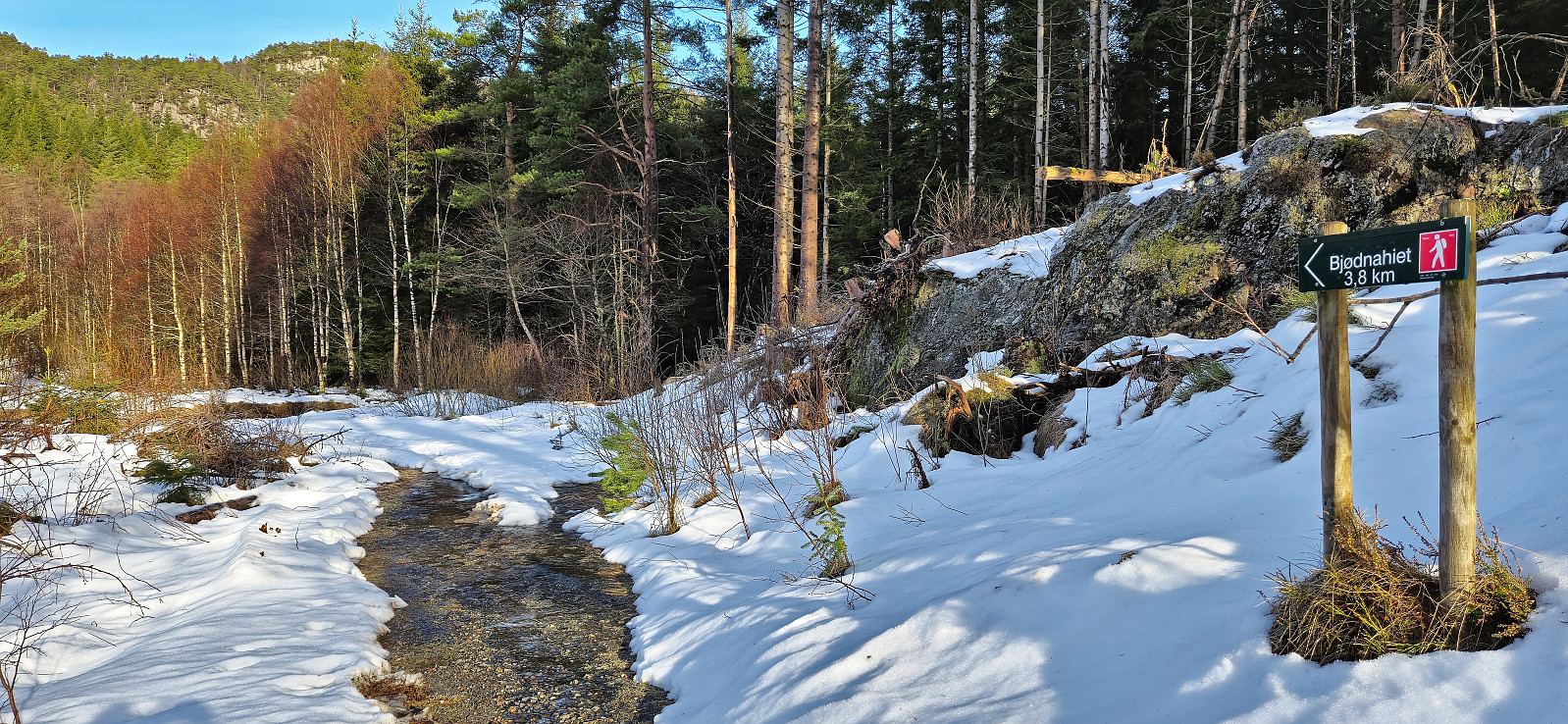
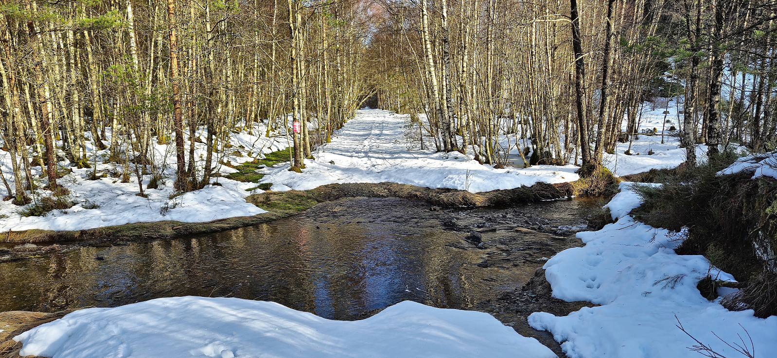
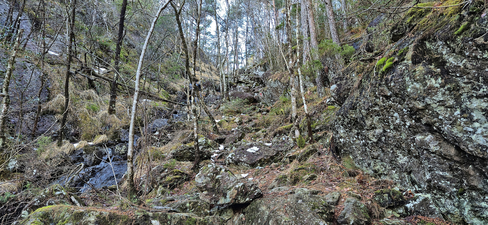
Four crossings of the stream/river in Storedalen were required before getting to the marked trailhead, where only the first one was via a bridge. But thankfully the water was not very deep and there were convenient steeping stones that made it possible to cross without getting wet. More of a challenge was the snow covering the gravel road, as it was of the type that almost carried my weight but only for a second before giving way, thus resulting in a slower and tougher start to the hike than expected.
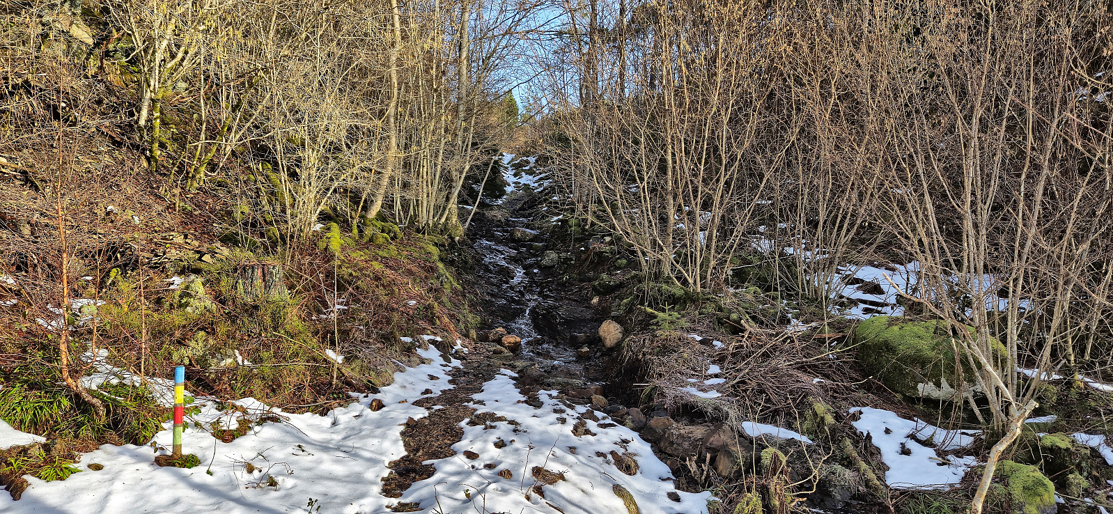
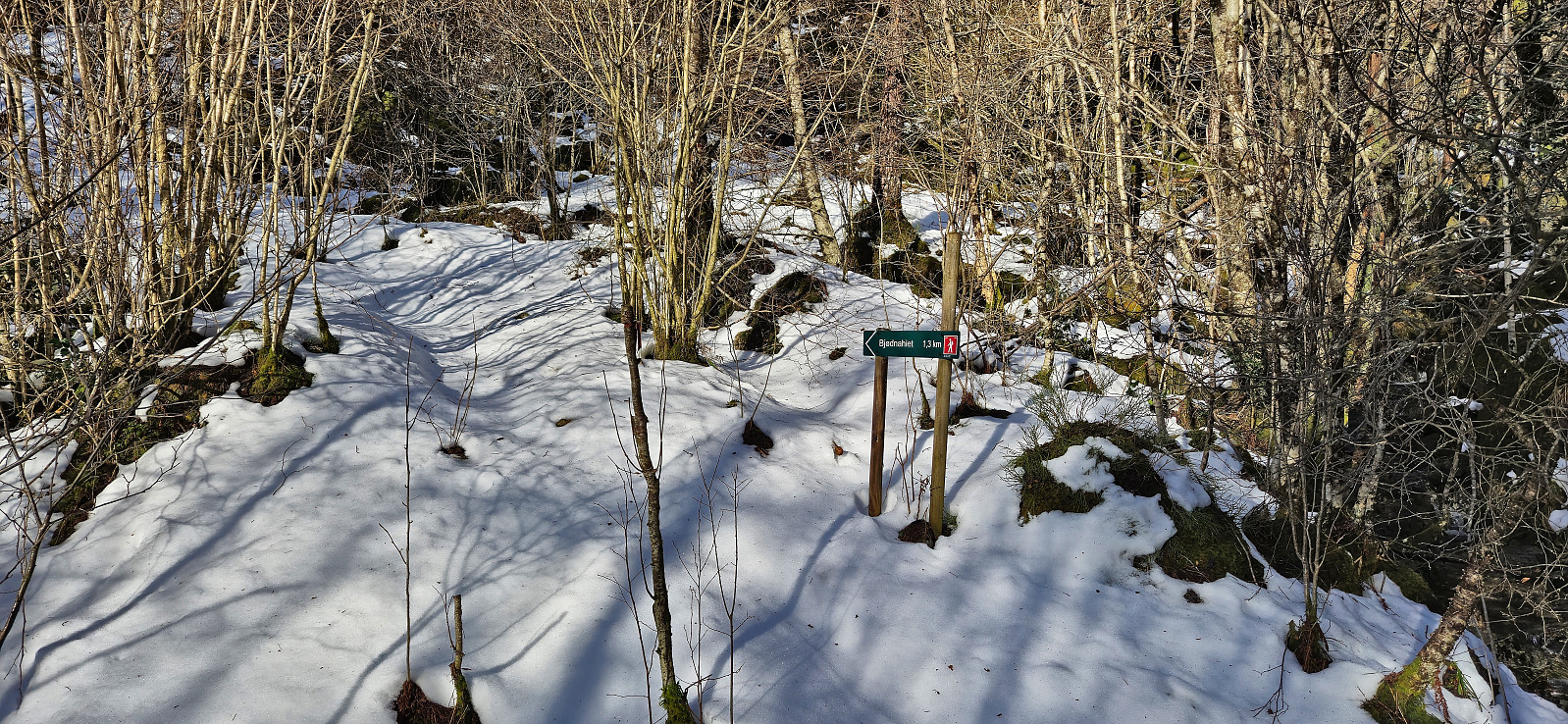
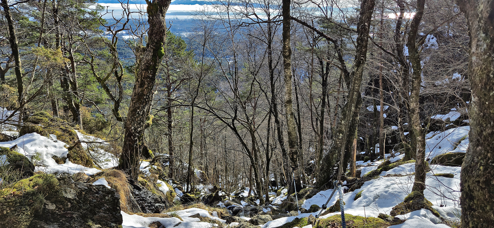
The conditions improved somewhat upon leaving the gravel road and starting on the trail, however it was replaced by a new challenge as the trail markers were most often very difficult to see and in clear need of a repaint. With the trail hidden underneath the snow I was therefore not always sure whether I was on the trail or not.
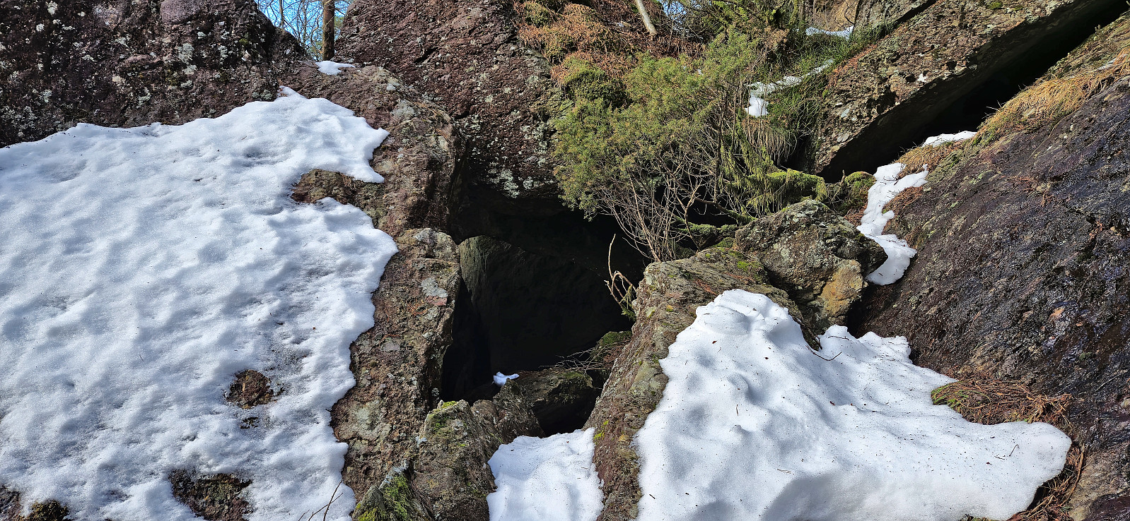
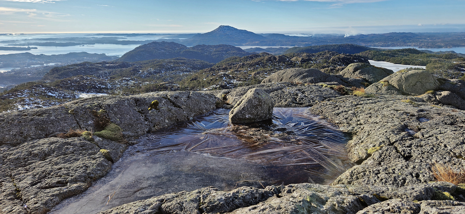
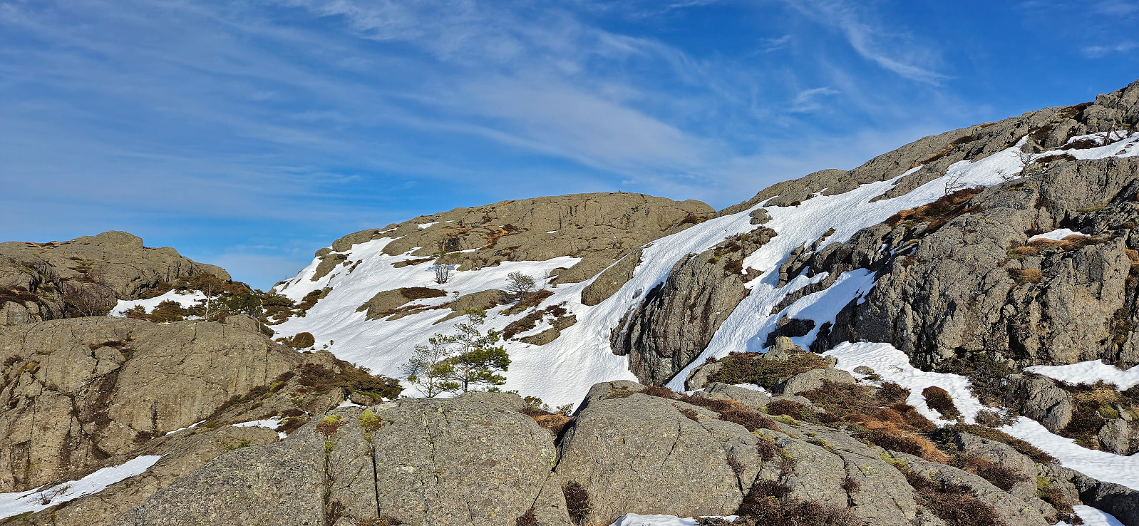
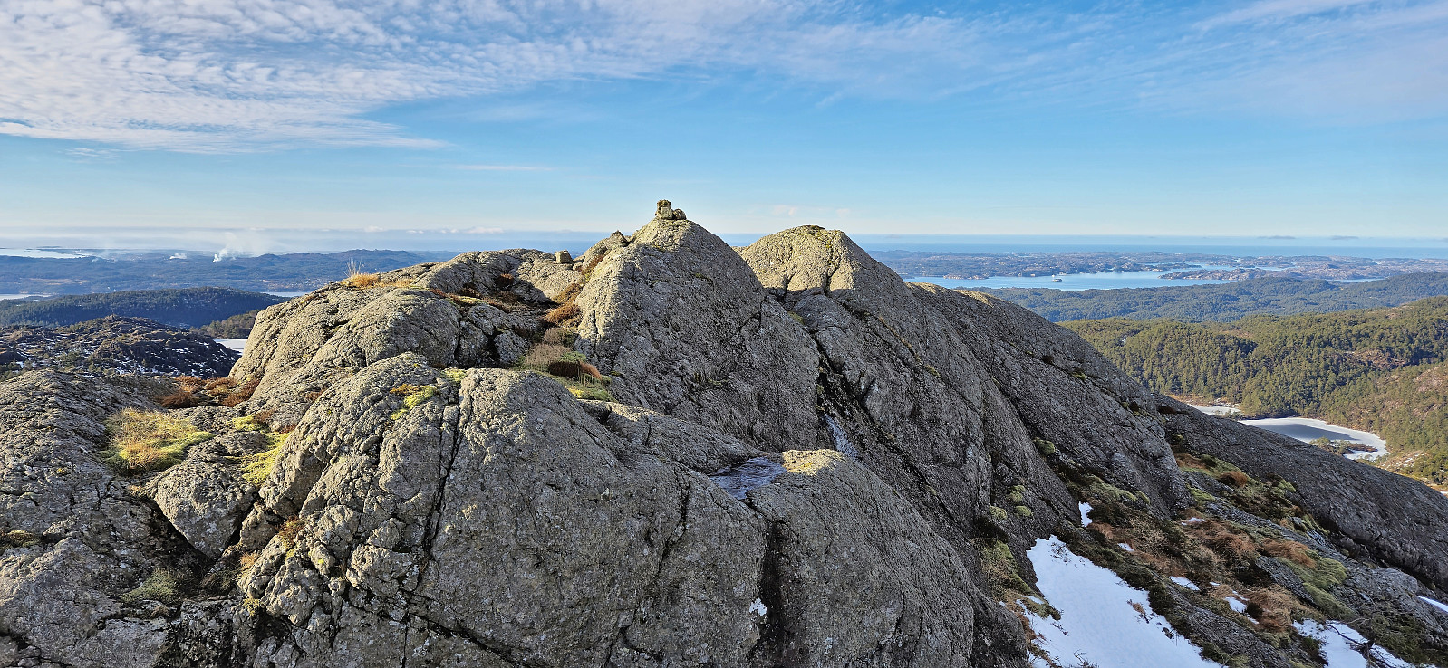
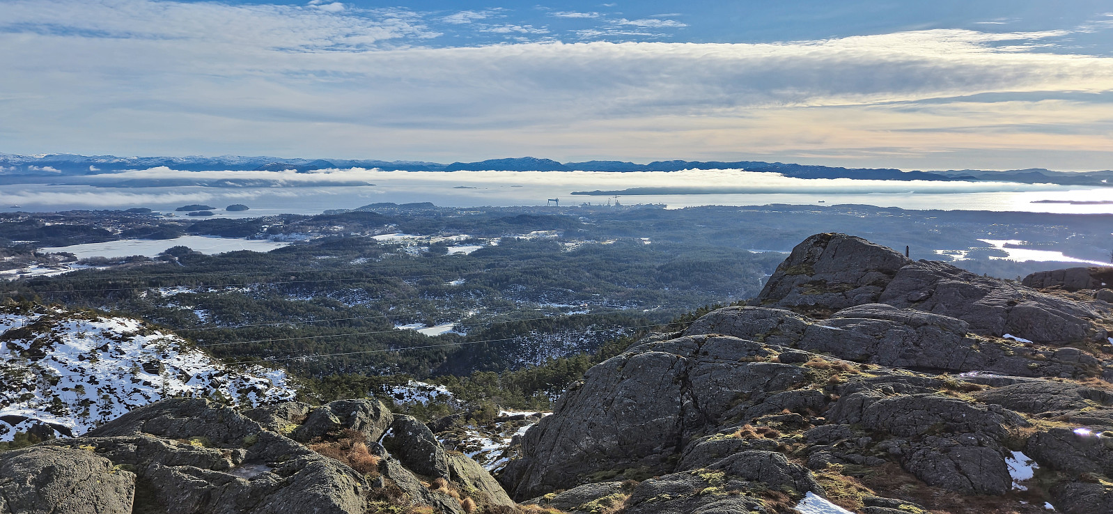
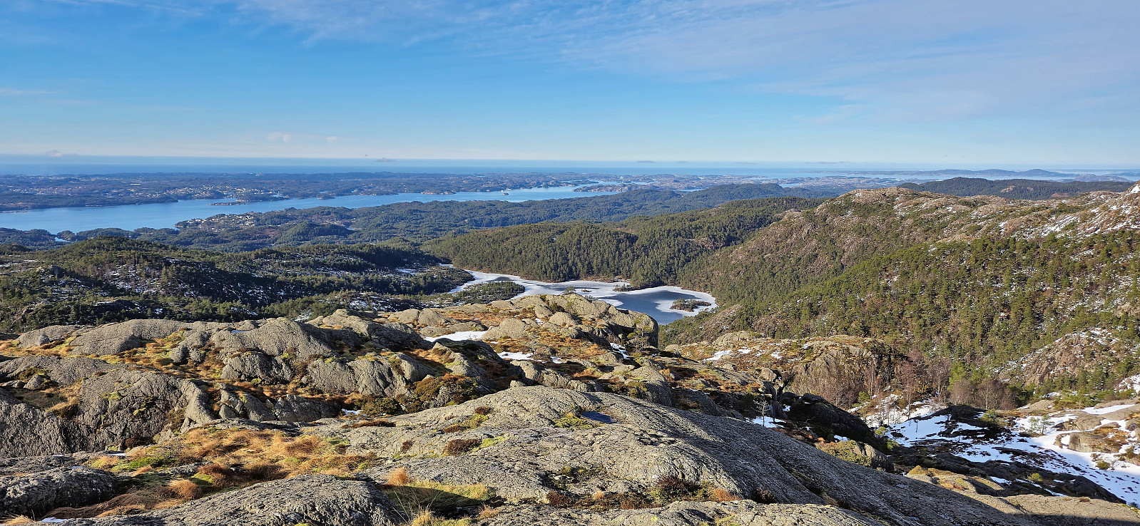
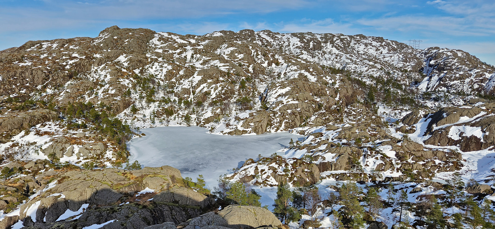
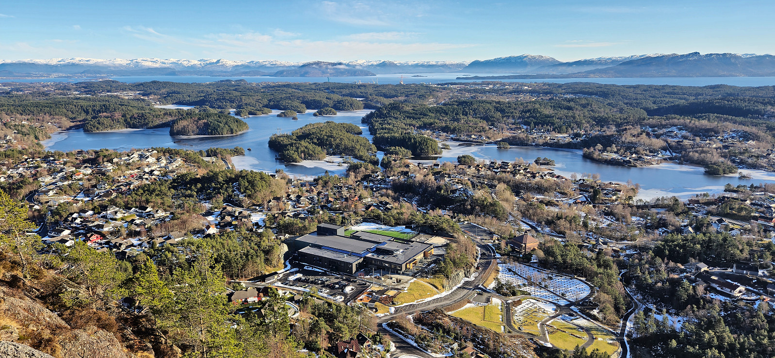
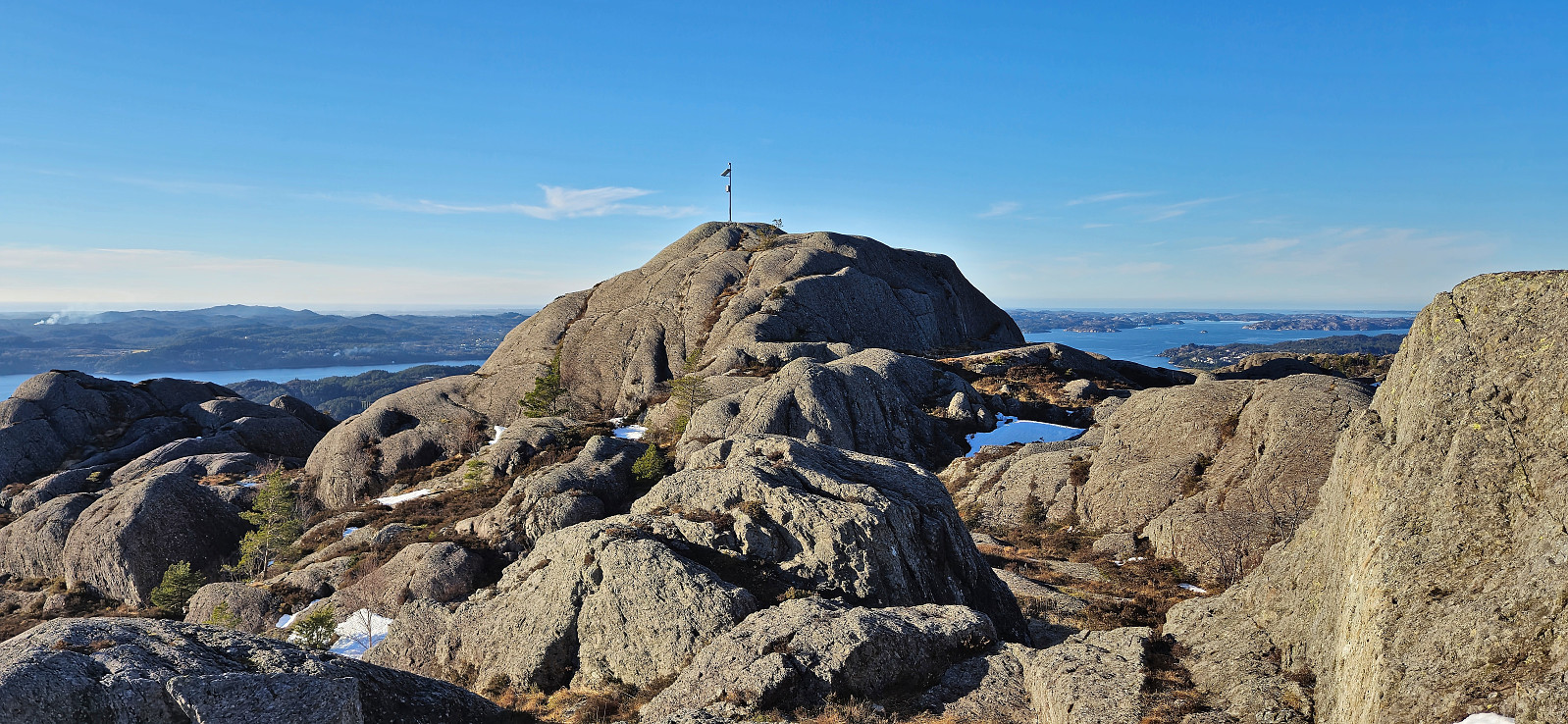
After a brief inspection of Bjødnahiet I headed off-trail in the direction of the summit of Bjørnahifjellet. The terrain was not the most friendly, but the summit was reached without any real issues. At the summit I had a short lunch break to enjoy the excellent views before heading northeast to connect with Bjørnastegen. I also made sure to visit the northern summit of Bjørnahifjellet which seemed to be pretty much the same height. This route was overall better than the ascent route and the terrain easier to traverse.
Descending via Bjørnastegen was a bit tricky as it was relatively steep, rocky and covered by snow, and at times it also doubled as a small stream. There was the occasional trail marker however I pretty much just found my own way until returning to the crossroads where I had earlier started the ascent to Bjødnahiet. From there I followed the snow-covered roads back to Litlabø. (The initial plan had been to follow the trail on the west side of Lappetjørna but I forgot to fork right before crossing Stordalselvo gangbro and later attempts to cross south of the lake had to be abandoned.)
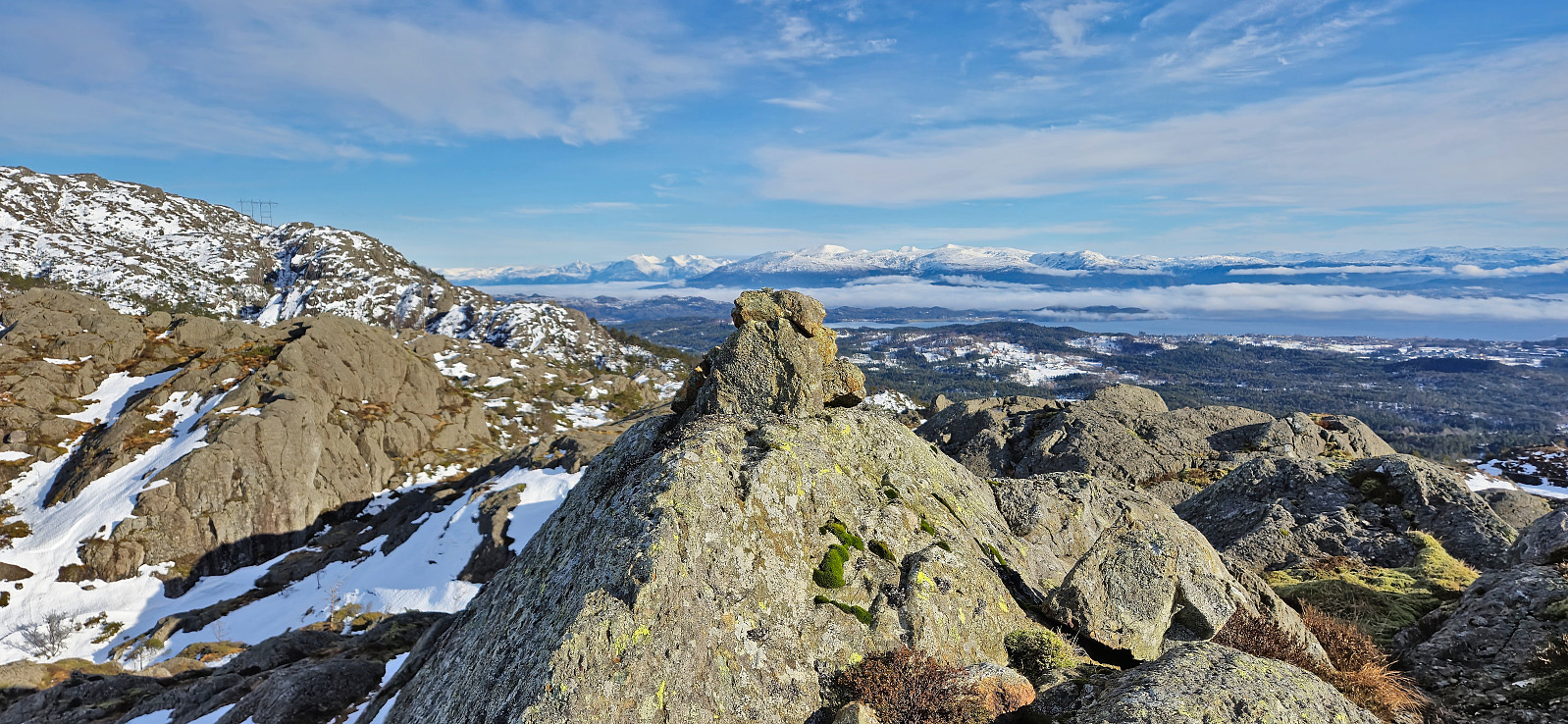
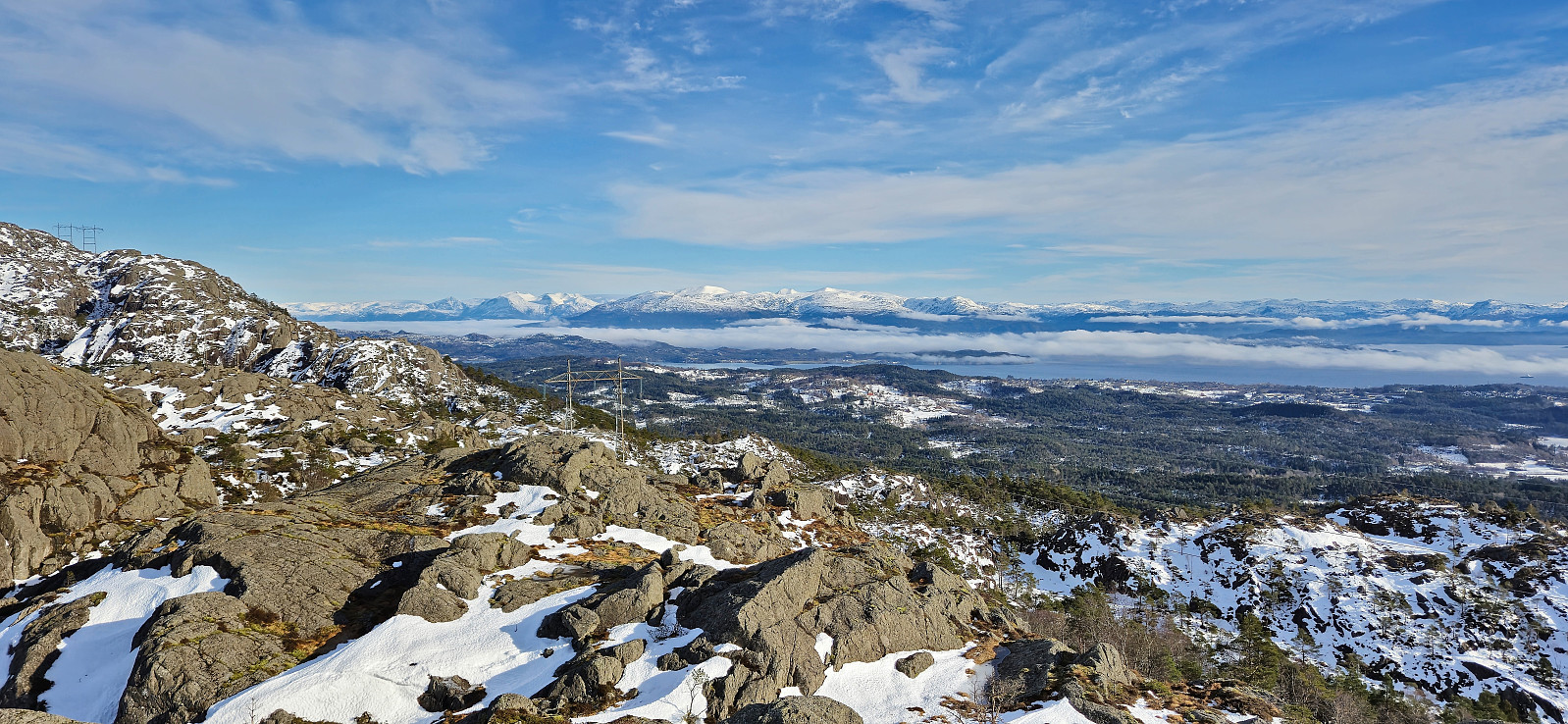
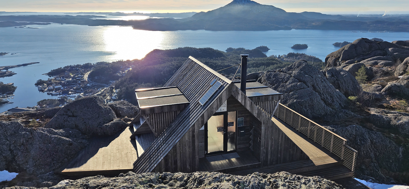
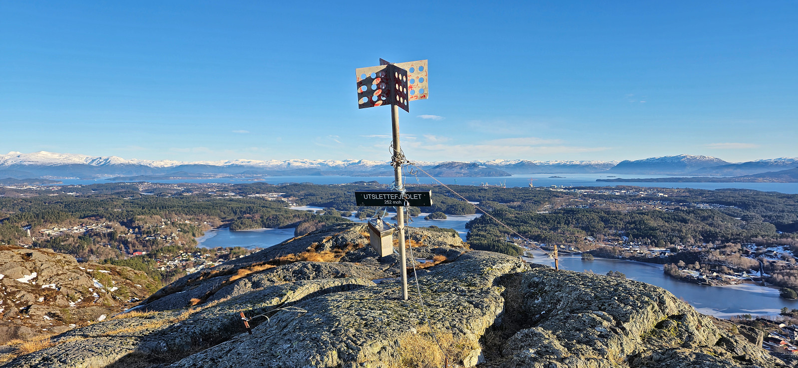
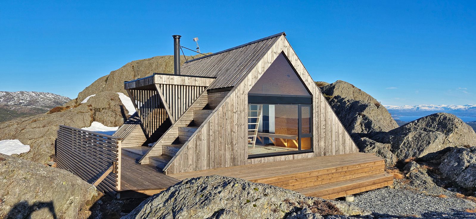
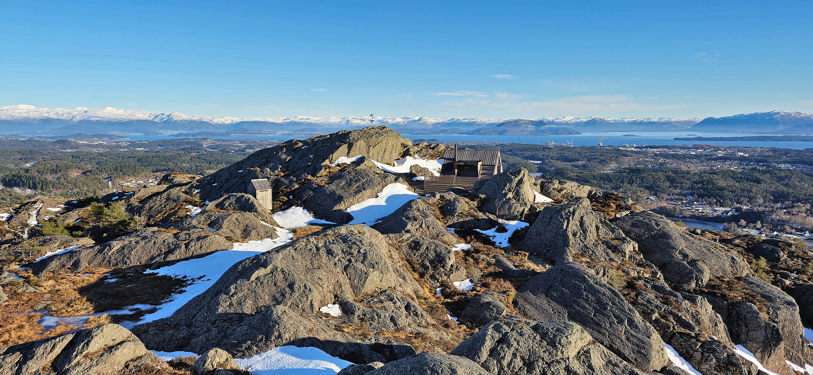
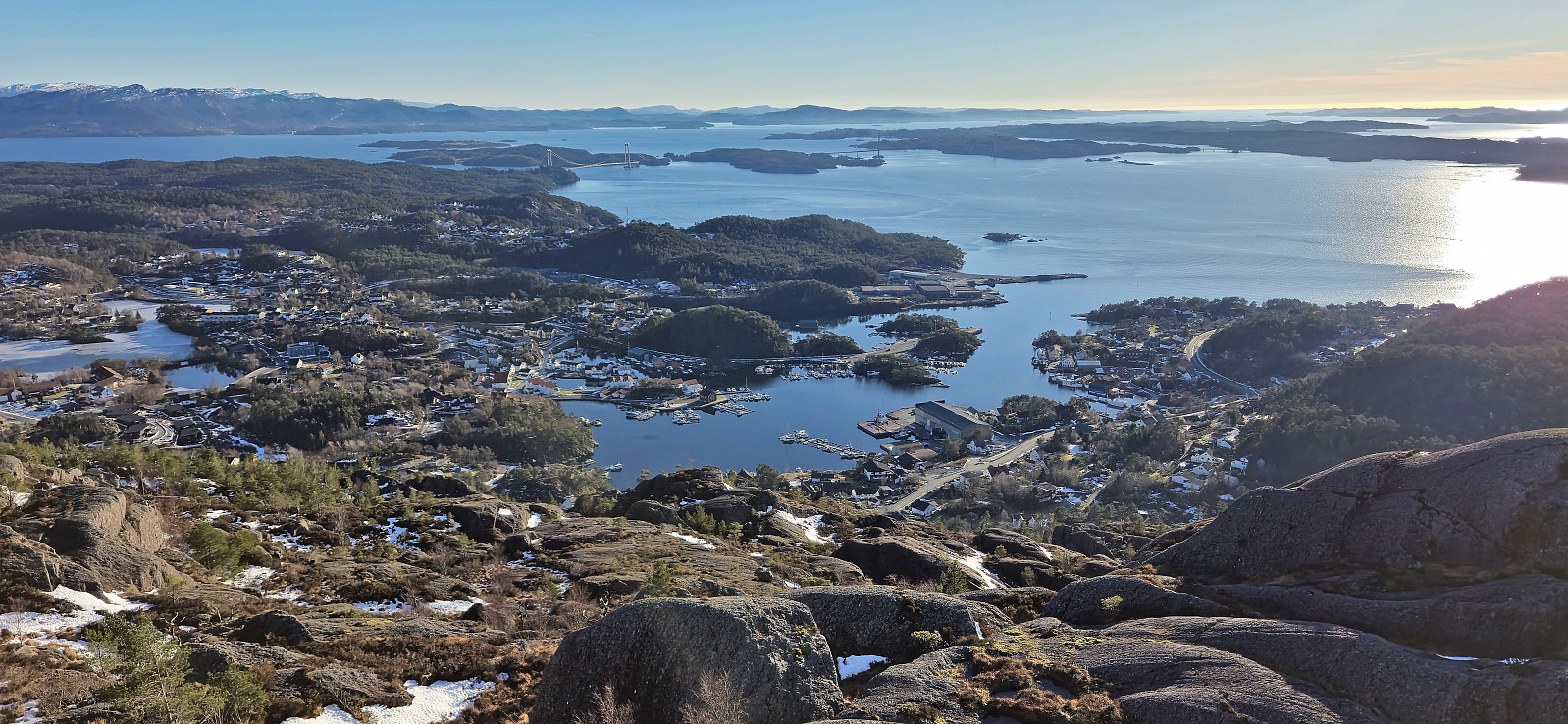
Upon reaching the main road I decided that I also had the time for a revisit of Utslettefjellet, mainly to also visit Utsletteslottet which had not yet been built during my visit in 2020. I therefore headed northwest along Hustredalsvatnet before turning southwest to the marked trailhead. After the initial steep ascent I followed the unmarked trail to Utsletteslottet and the summit of Utslettefjellet. Excellent views from both locations. From the summit of I found my own way north to reconnect with the trail and then followed it west to the main road which I shortly followed north to the bus stop at Dyvik.
In summary, a slightly tougher hike than expected given the snow conditions but well worth the extra struggle due to the excellent views from both summits.
| Startzeitpunkt | 17.02.2024 10:30 (UTC+01:00) |
| Endzeitpunkt | 17.02.2024 15:43 (UTC+01:00) |
| Gesamtzeit | 5h 13min |
| Zeit in Bewegung | 4h 35min |
| Pausenzeit | 0h 38min |
| Gesamtschnitt | 2,4km/h |
| Bewegungsschnitt | 2,7km/h |
| Entfernung | 12,6km |
| Höhenmeter | 772m |


Benutzerkommentare