
Duesundfjellet from Duesund Brannstasjon (10.02.2024)

Geschrieben von hbar (Harald Barsnes)

| Startpunkt | Duesund Brannstasjon (49m) |
|---|---|
| Endpunkt | Duesund Brannstasjon (49m) |
| Tourcharakter | Bergtour |
| Tourlänge | 0h 52min |
| Entfernung | 1,8km |
| Höhenmeter | 198m |
| GPS |
|
| Besteigungen | Duesundfjellet (247m) | 10.02.2024 |
|---|
Duesundfjellet from Duesund Brannstasjon
Initially, Endre and I were going skiing this weekend, but due to worsening weather forecasts we decided to abandon those plans and instead leave the skis at home and head to the northwestern part of Masfjorden. This was an area that neither of us had visited before and hence there should be lots of relatively easy peaks to ascend. I had made a rough plan the evening before that included up to seven peaks, depending on how long each of them would take.
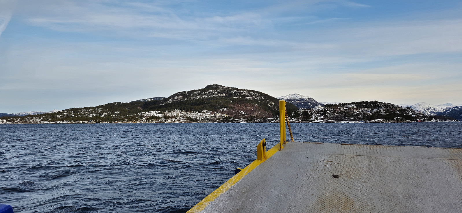
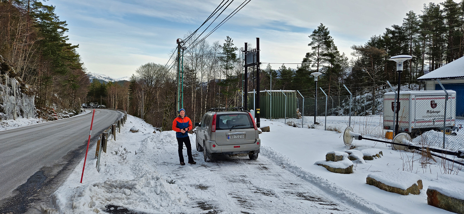
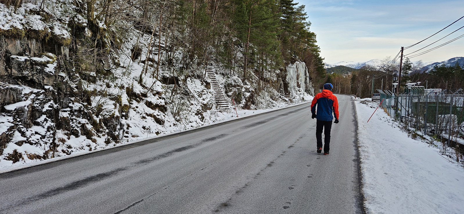
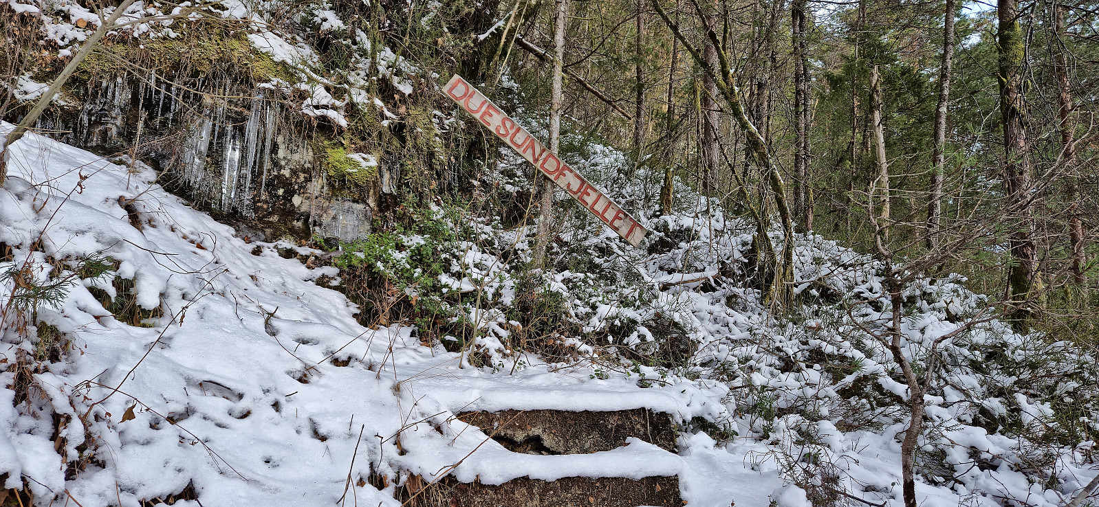
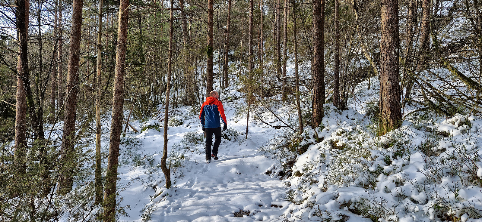
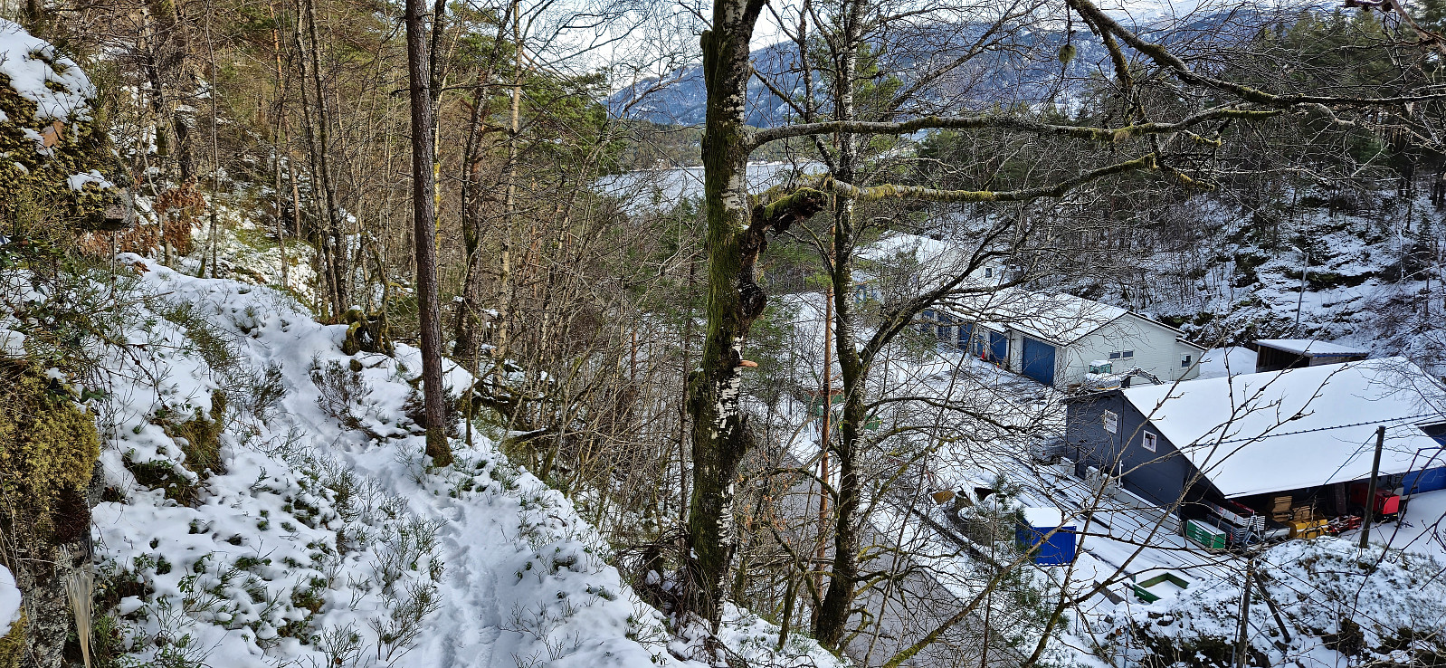
We started by driving to Masfjordnes where we arrived almost half an hour before the ferry to Duesund. After a short drive on the other side of the fjord, we parked next to Duesund Brannstasjon and easily located the stone steps marking the start of the trail to Duesundfjellet.
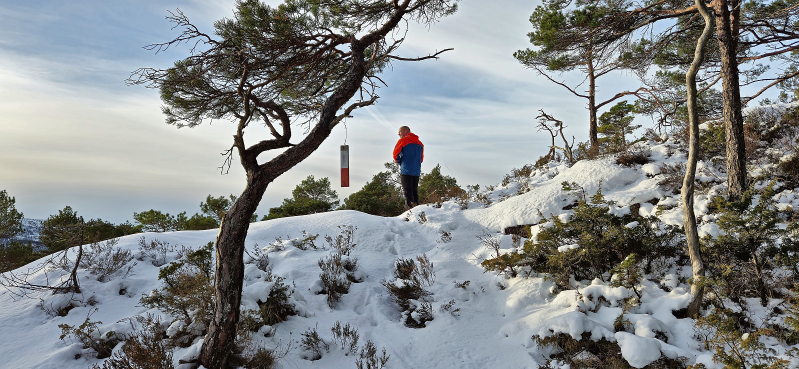
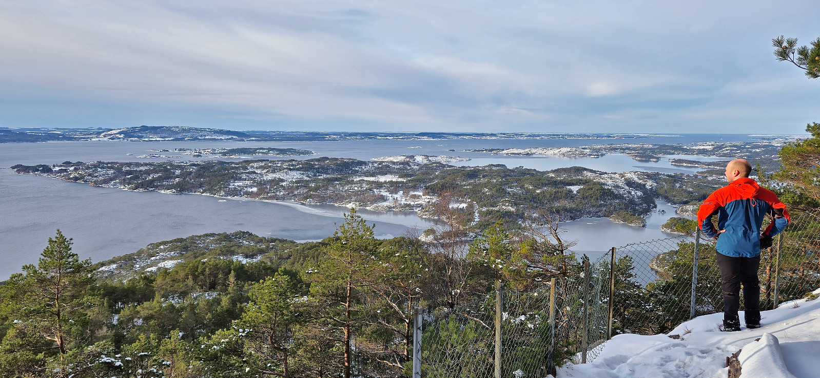
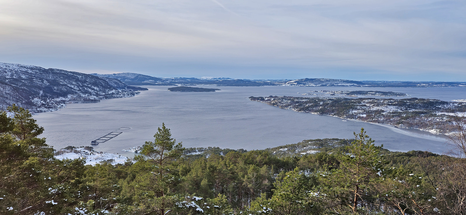
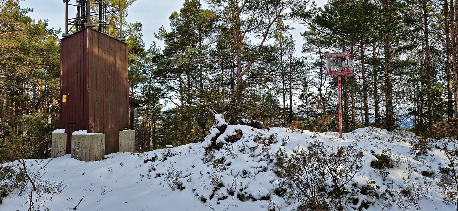
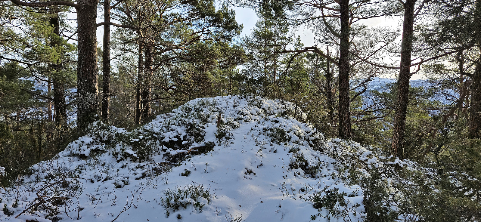
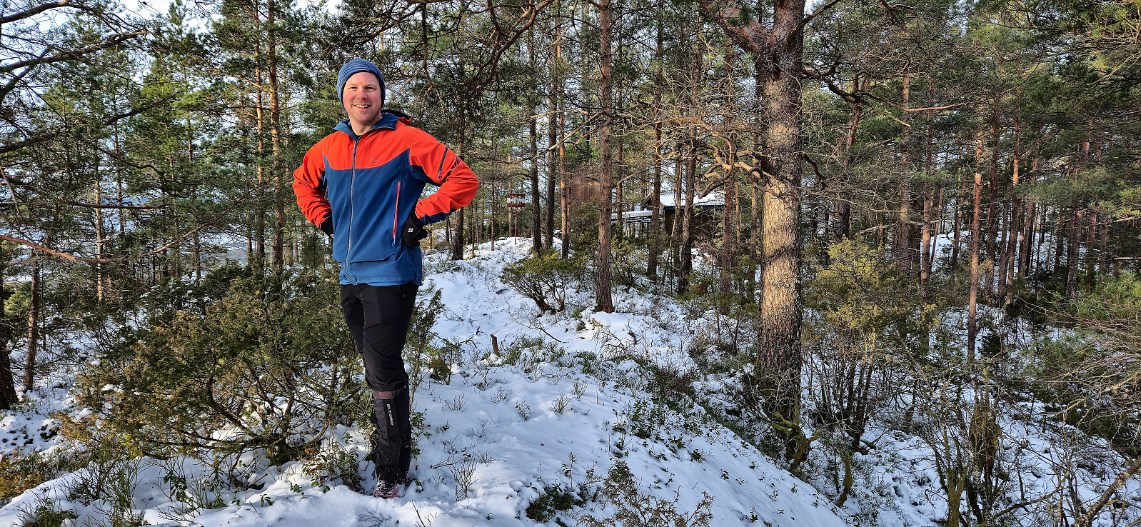
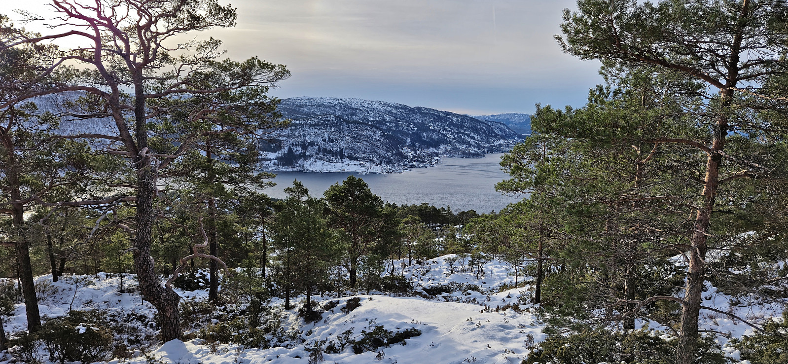
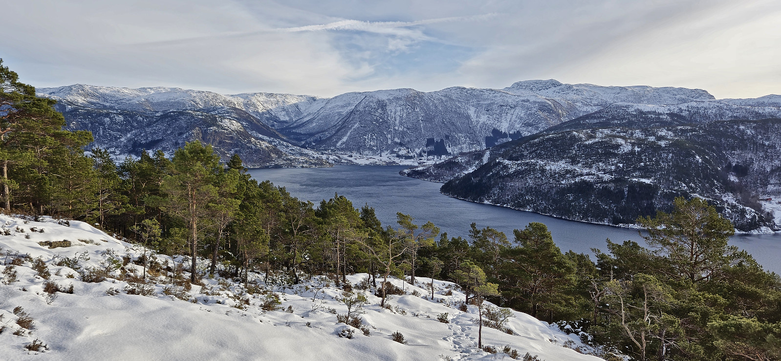
The trail was overall easy to follow, and there was even the occasional trail marker, however due to the snow we still lost the trail a couple of times before reaching the summit. A vantage point just south of the summit provided excellent views and there was even a bit of unexpected sunshine.
After visiting both the trig marker and a slightly higher point just east of it, we descended the same way and drove northwest to Torsvik to ascend Bufjellet. In summary, a nice short hike with excellent views that can very much be recommended.
| Startzeitpunkt | 10.02.2024 10:16 (UTC+01:00) |
| Endzeitpunkt | 10.02.2024 11:08 (UTC+01:00) |
| Gesamtzeit | 0h 52min |
| Zeit in Bewegung | 0h 45min |
| Pausenzeit | 0h 6min |
| Gesamtschnitt | 2,0km/h |
| Bewegungsschnitt | 2,3km/h |
| Entfernung | 1,8km |
| Höhenmeter | 198m |


Benutzerkommentare