
Hordnesskogen from Stend to Lagunen (14.01.2024)

Skrevet av hbar (Harald Barsnes)

| Startsted | Stend (56moh) |
|---|---|
| Sluttsted | Lagunen terminal (43moh) |
| Turtype | Fjelltur |
| Turlengde | 2t 04min |
| Distanse | 8,7km |
| Høydemeter | 213m |
| GPS |
|
| Bestigninger | Sauhaugen ved Skeisåsen (116moh) | 14.01.2024 |
|---|---|---|
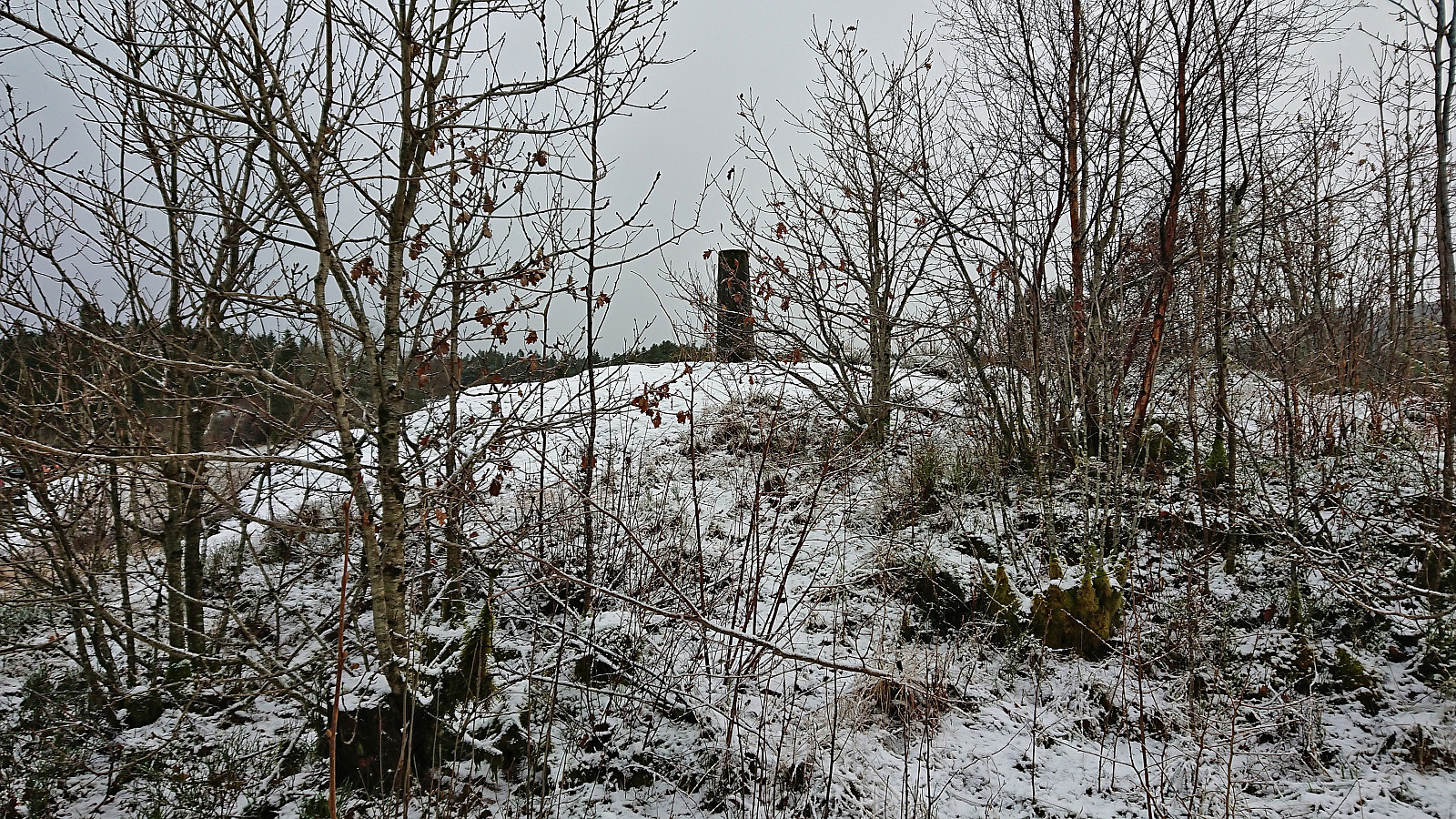
| Storåsen i Hordnesskogen (99moh) | 14.01.2024 | |
| Andre besøkte PBE'er | Hordnes søyle (55moh) | 14.01.2024 |
| Skinfloren (49moh) | 14.01.2024 |
Hordnesskogen from Stend to Lagunen
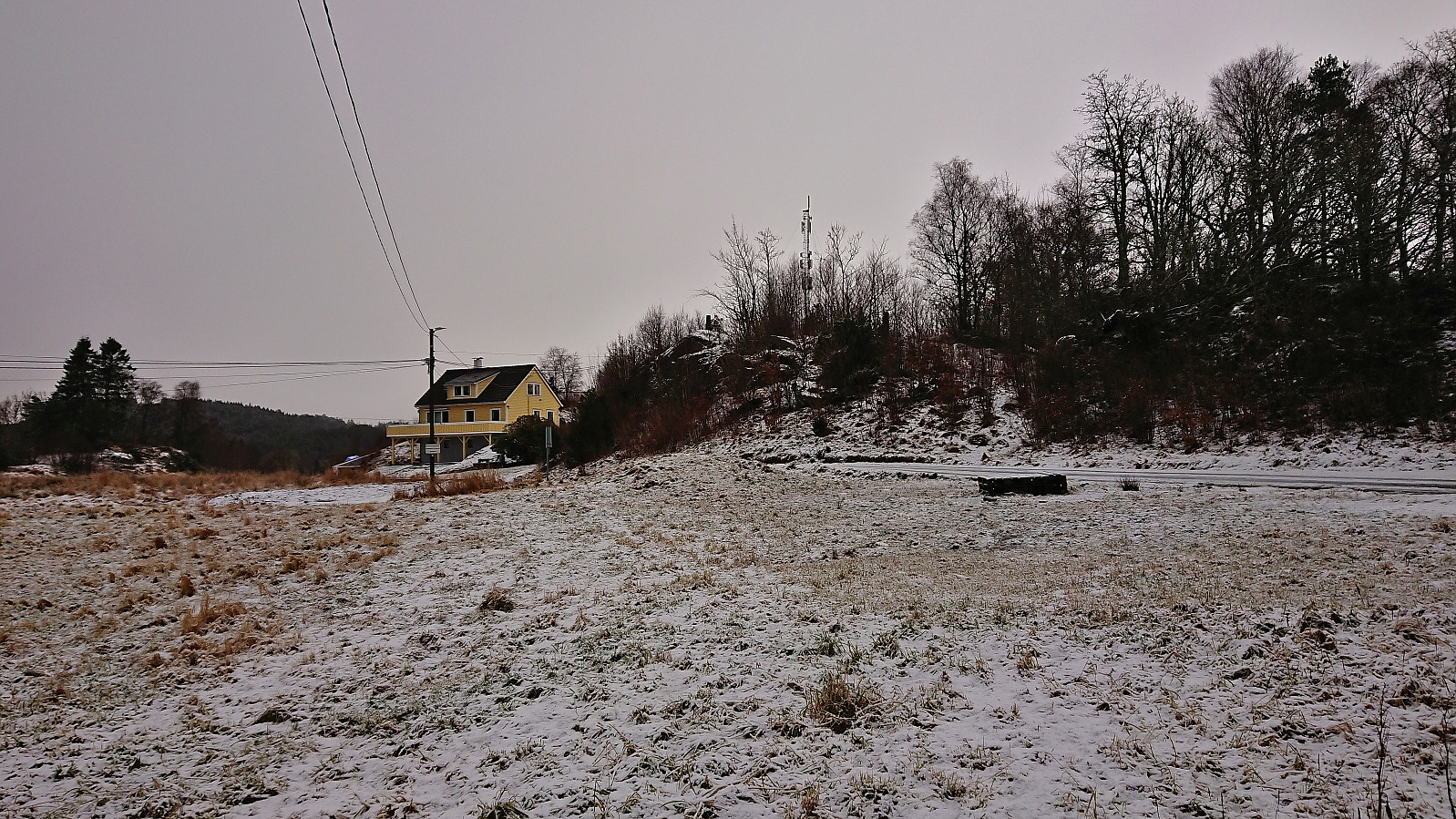
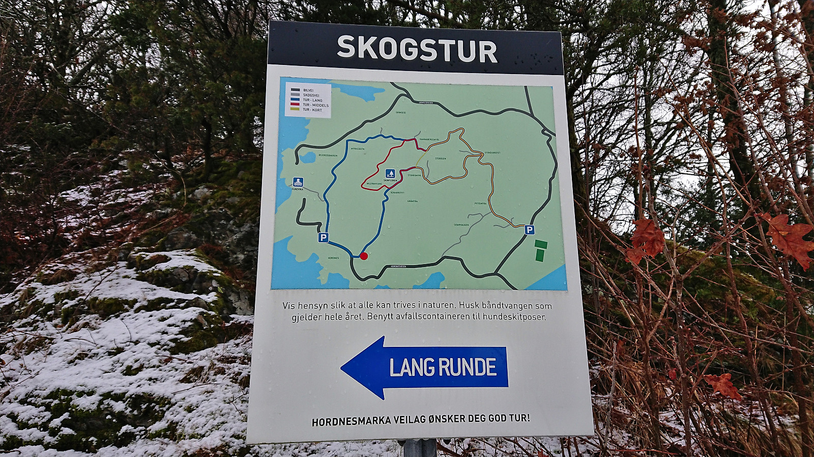
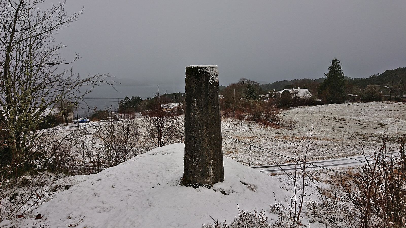
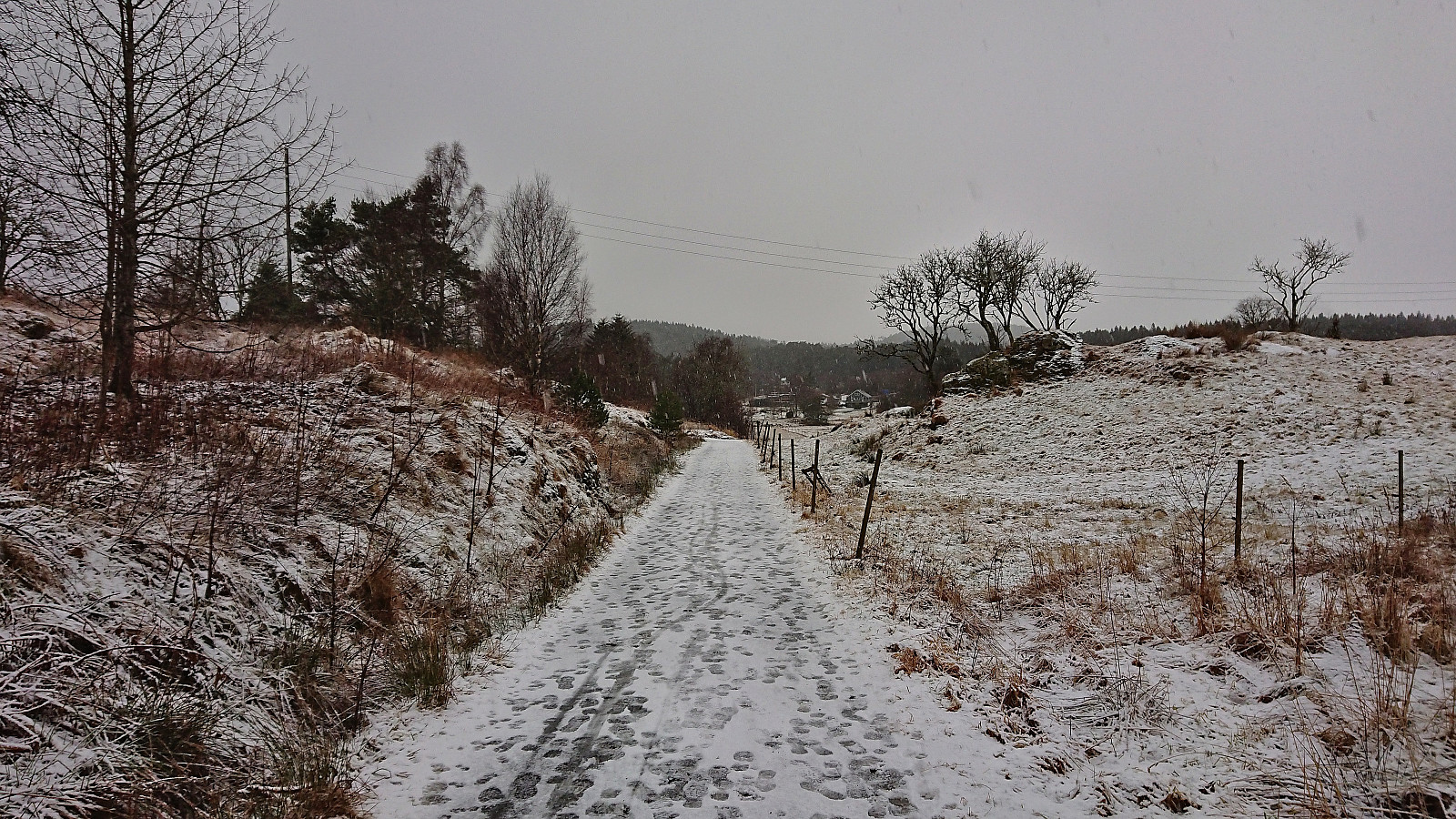
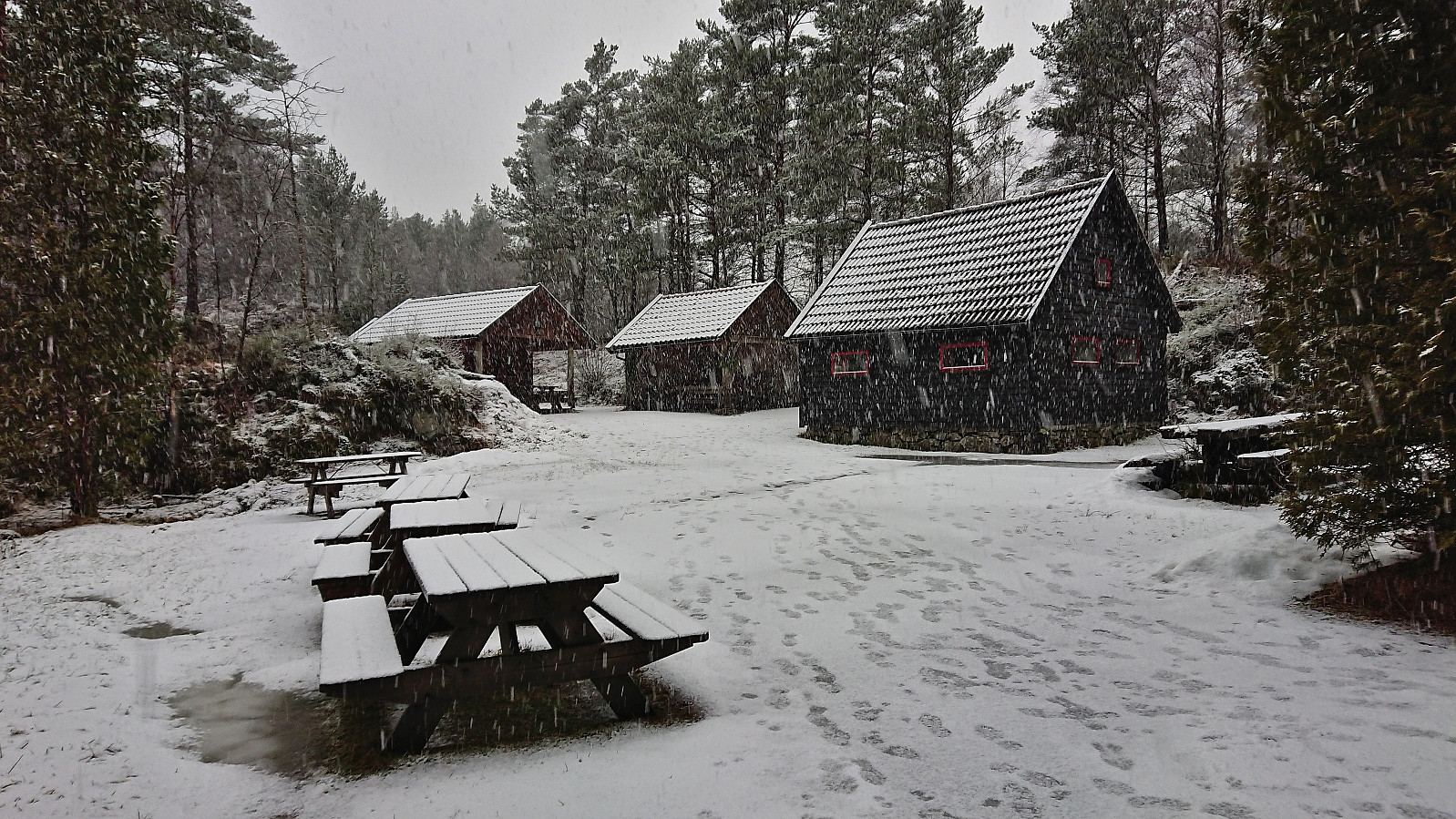
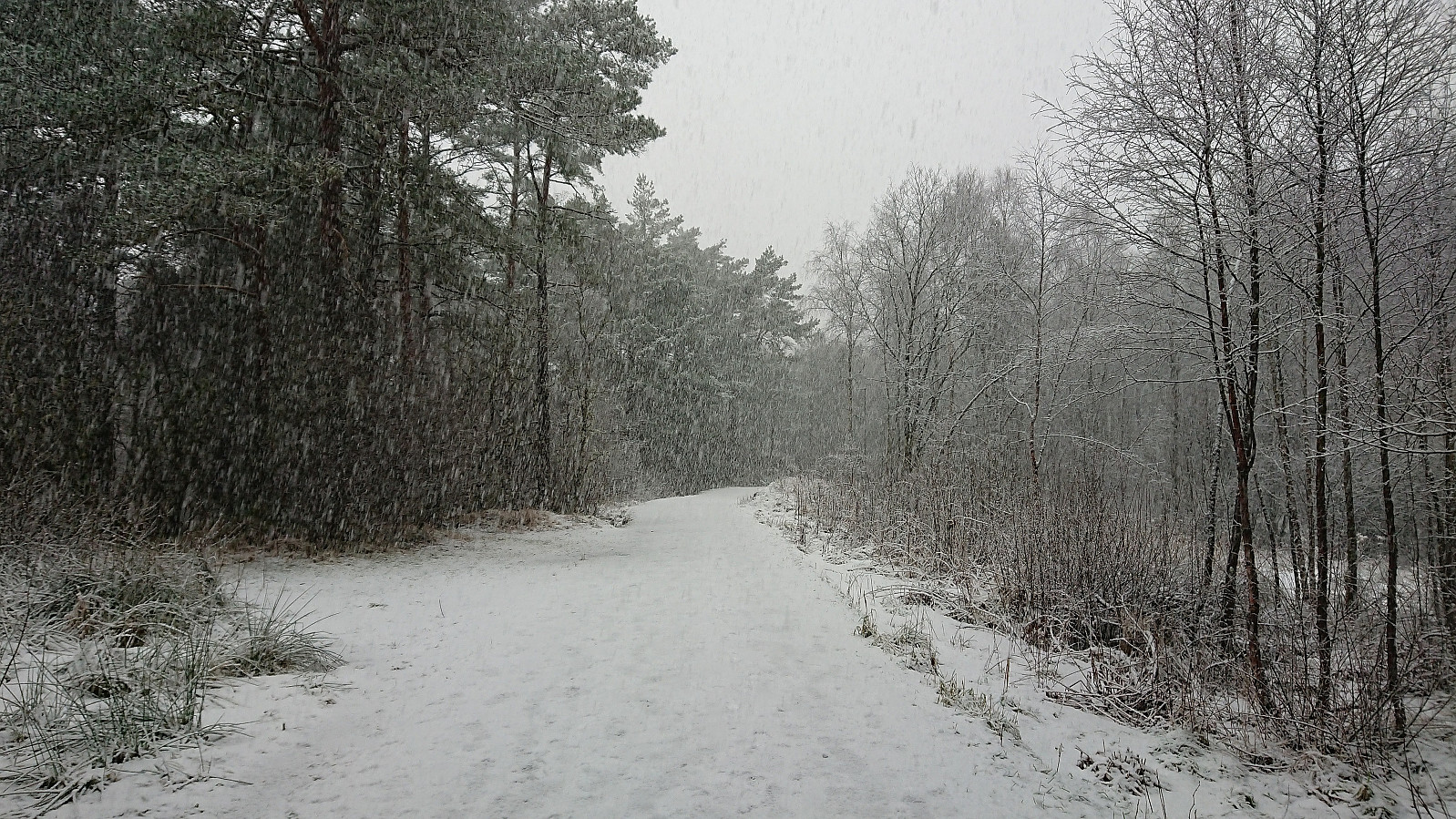
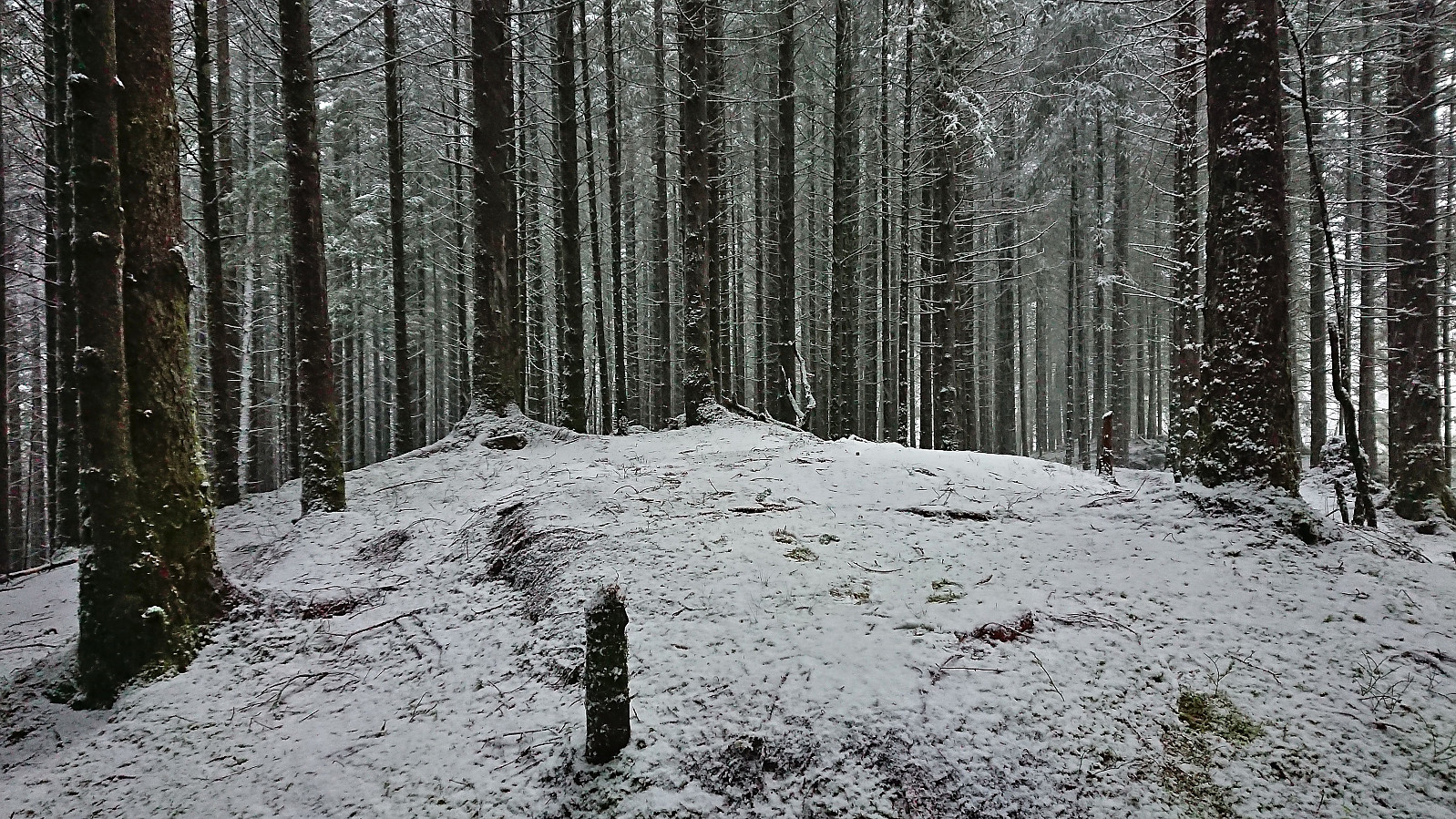
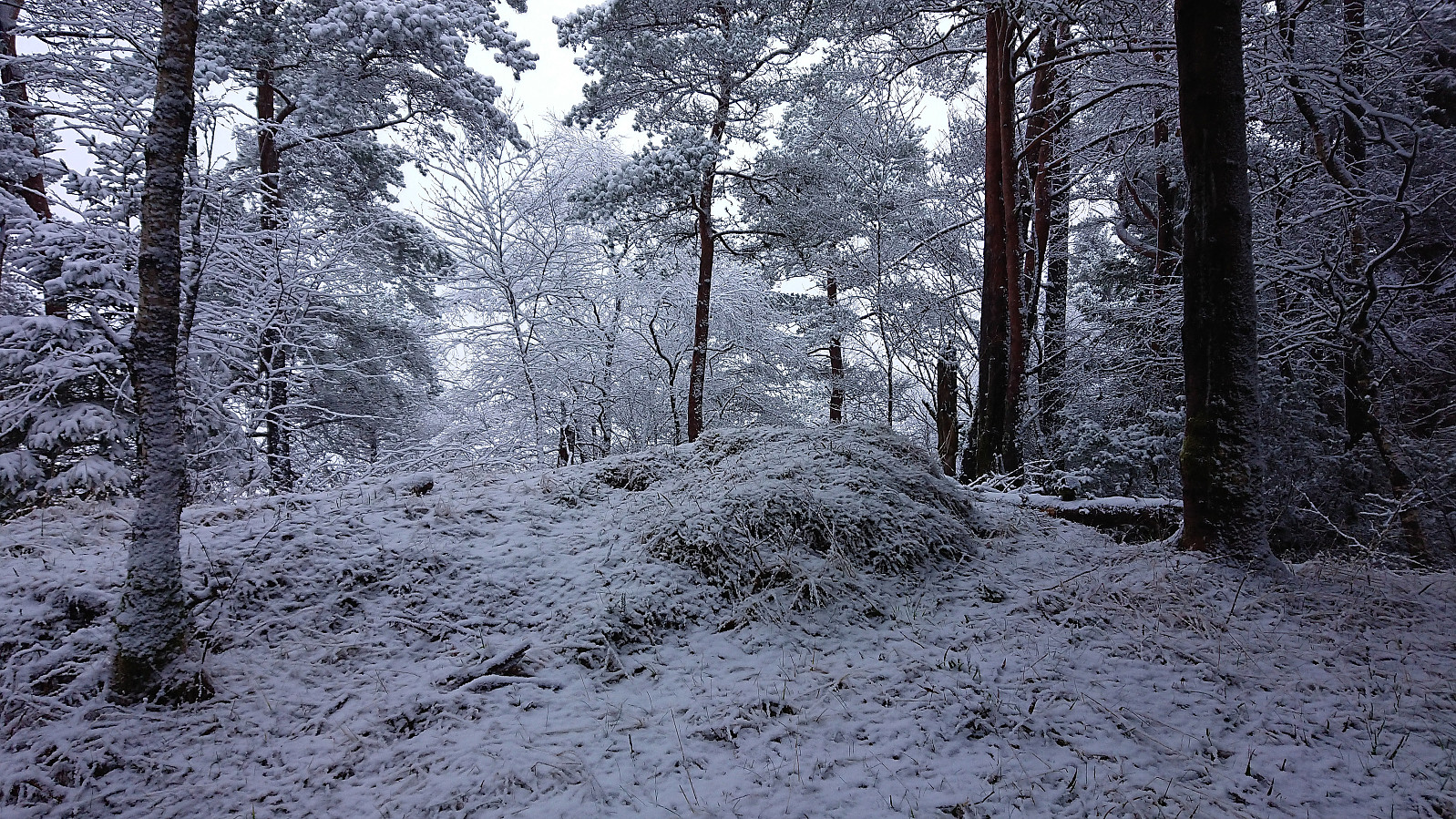
I started by taking the bus to Stend and walking southwest along the road to Hordnes. After a quick visit of Hordnes søyle I followed the gravel road north to Skinfloren in an increasingly heavy snow shower. From there I continued north to Storåsen which could easily be ascended via a minor detour from the roads/trails (now added as its own PB-element), however the summit did not provide much with regards to views.
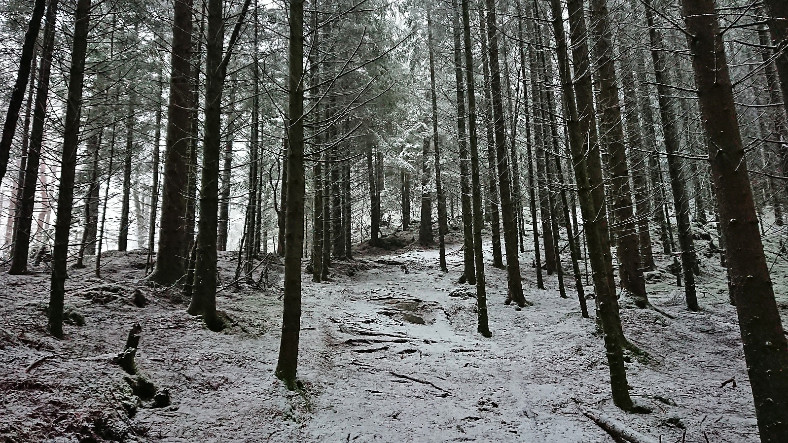
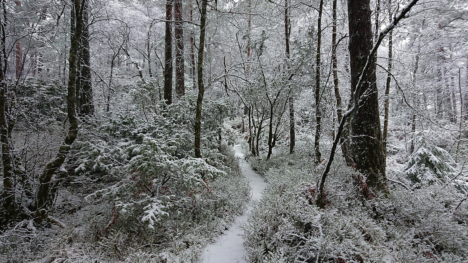
After descending north from Storåsen I started my ascent to Sauhaugen, a recent addition to the Alle topper i Bergen list. At first there was a narrow trail/deer track to follow but as I got closer to the summit the trail got weaker and later disappeared altogether. By then I was less than 100 meters from the summit anyway and could easily complete the remaining distance. Also this summit had limited views and I quickly started my descent.
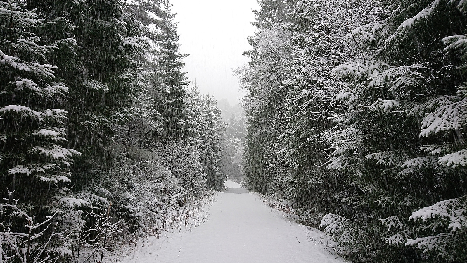
Reconnecting with the trail required some fighting with the undergrowth, although it is perhaps possible to avoid this by choosing a slightly different route. In any case, it did not take long before I was back on the trail to Grimseidvegen which I then proceeded to follow to Lagunen from where I took Bybanen back to the city center.
| Starttidspunkt | 14.01.2024 13:07 (UTC+01:00) |
| Sluttidspunkt | 14.01.2024 15:11 (UTC+01:00) |
| Totaltid | 2t 04min |
| Bevegelsestid | 1t 58min |
| Pausetid | 0t 6min |
| Snittfart totalt | 4,2km/t |
| Snittfart bevegelsestid | 4,4km/t |
| Distanse | 8,7km |
| Høydemeter | 213m |


Kommentarer