
Hovdafjellet, Vardafjellet, Selsåsåsen and Børshovda (17.09.2023)

Geschrieben von hbar (Harald Barsnes)

| Startpunkt | Liavegen (48m) |
|---|---|
| Endpunkt | Førde sentrum (31m) |
| Tourcharakter | Bergtour |
| Tourlänge | 6h 49min |
| Entfernung | 24,1km |
| Höhenmeter | 897m |
| GPS |
|
| Besteigungen | Børshovda (186m) | 17.09.2023 |
|---|---|---|
| Hovdafjellet (171m) | 17.09.2023 | |
| Selsåsåsen (167m) | 17.09.2023 | |
| Vardafjell (185m) | 17.09.2023 | |
| Besuche anderer PBE | Børshovda p-lomme (50m) | 17.09.2023 |
Hovdafjellet, Vardafjellet, Selsåsåsen and Børshovda
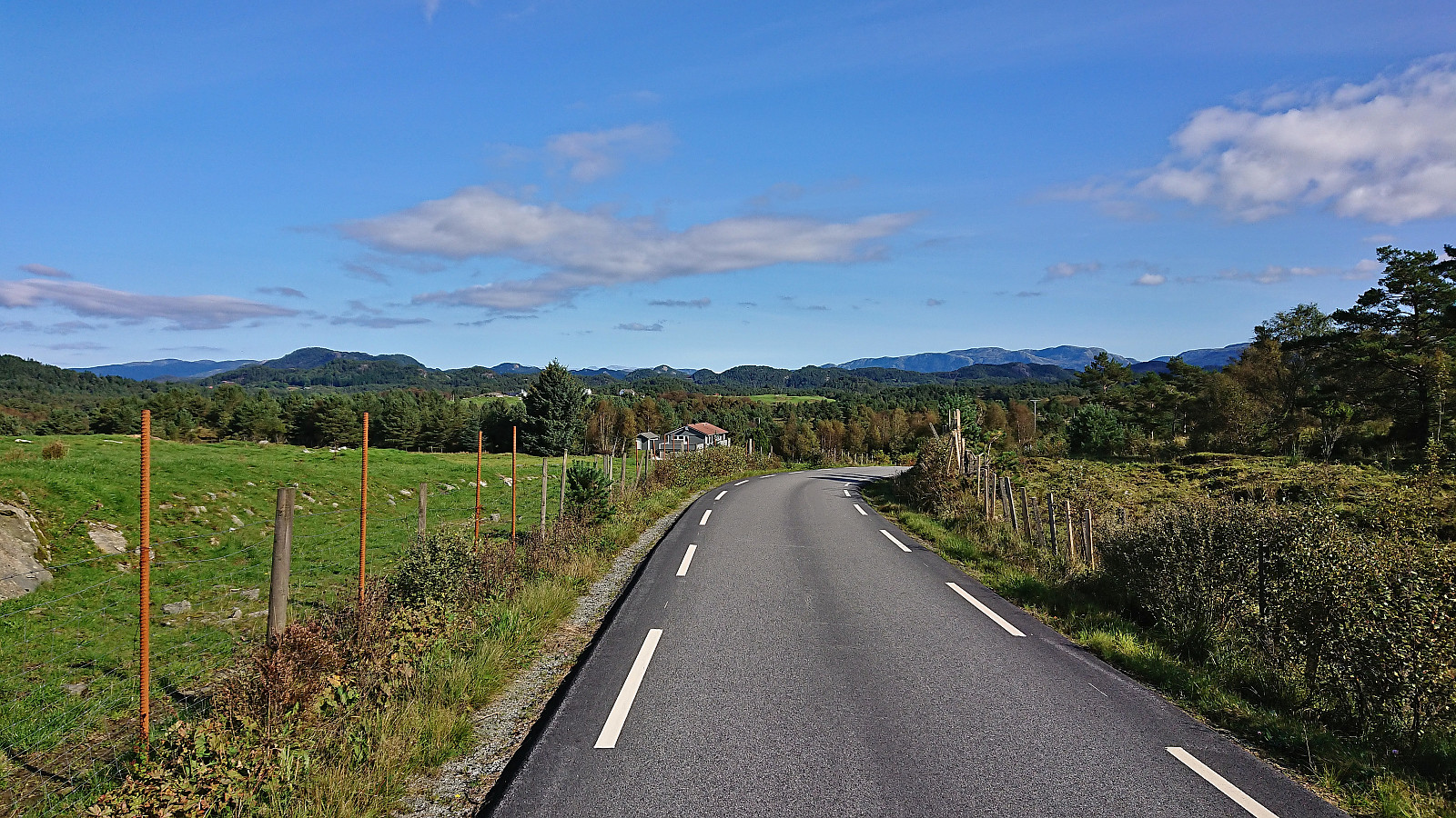
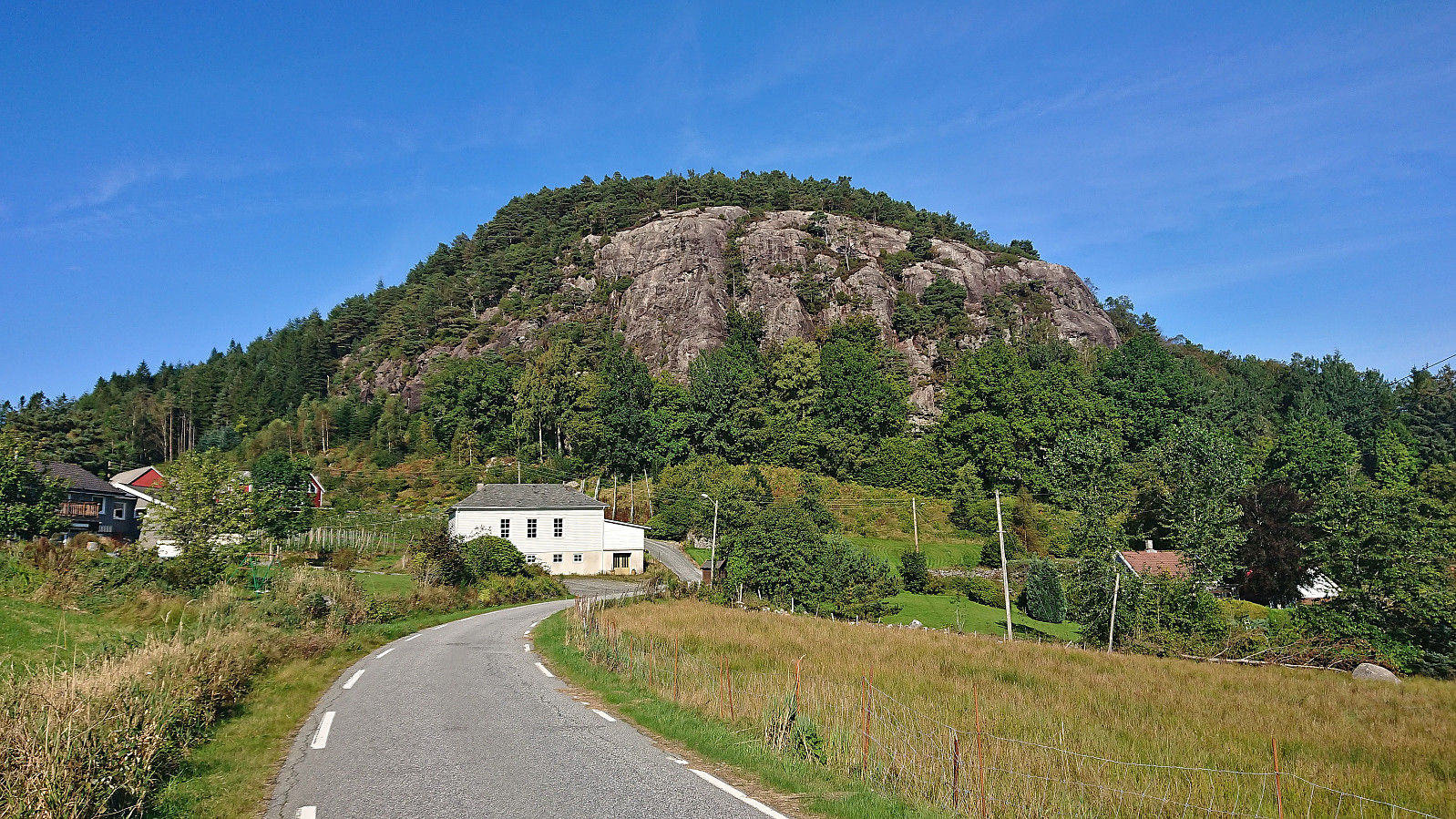
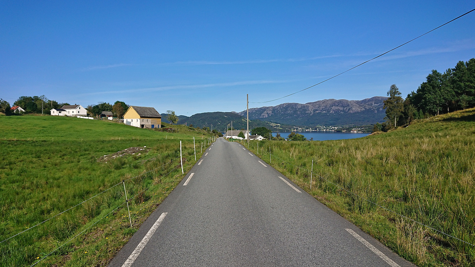
Ever since my visit of Storås at the end of April, the plans had been ready for a return to Sveio to ascend the four remaining summits on the Sveio ≥ 100m pf. list. Other hikes had however gotten the priority since then but now it was finally time. I started by taking the express bus (and ferry) from Bergen to Sveio where I got off at the stop called Liavegen. From there I followed the smaller roads east towards the first goal of the day: Hovdafjellet.
Very limited traffic, which was important given the lack of sidewalks, and great views along the way made this first transportation stage more enjoyable than expected. Upon approaching Hovdafjellet I followed the road until the final house west of the summit. Here I passed through a gate and followed various animal tracks to reach the summit without any issues (except for a barking dog that thankfully stayed on the other side of the fence).
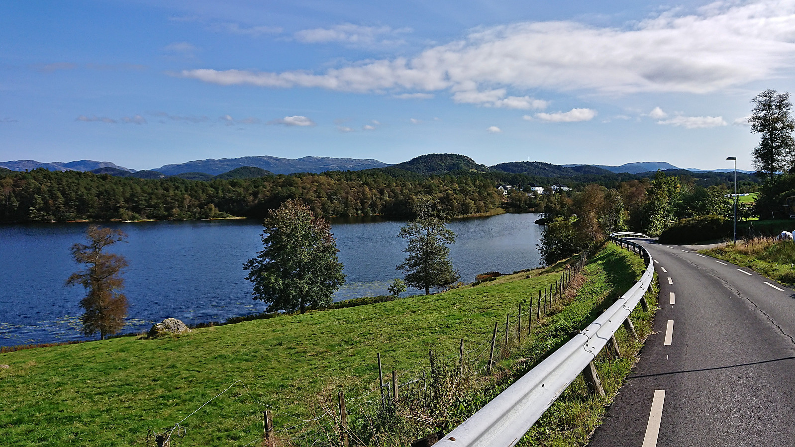
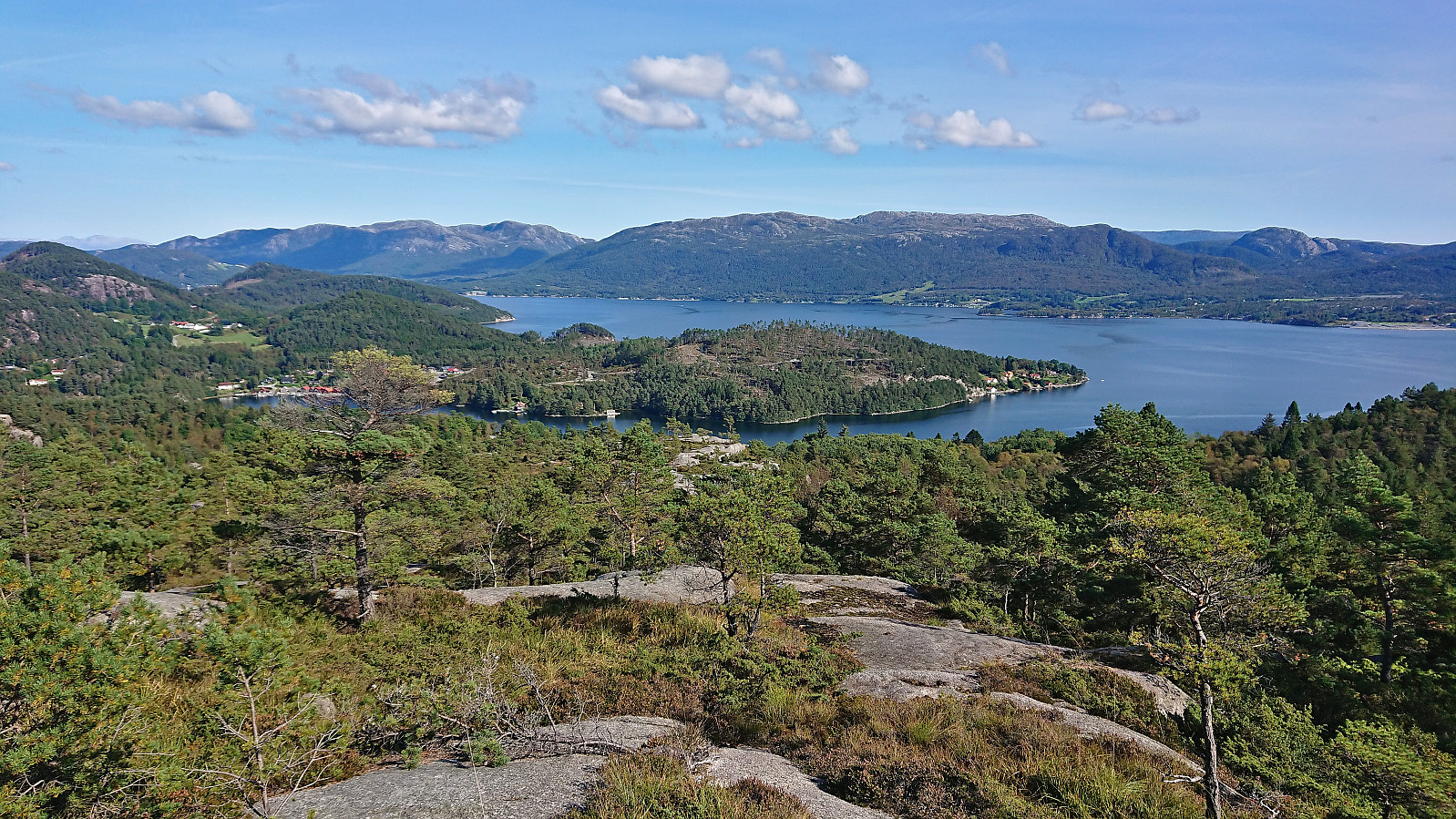
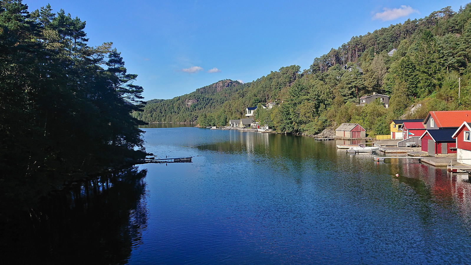
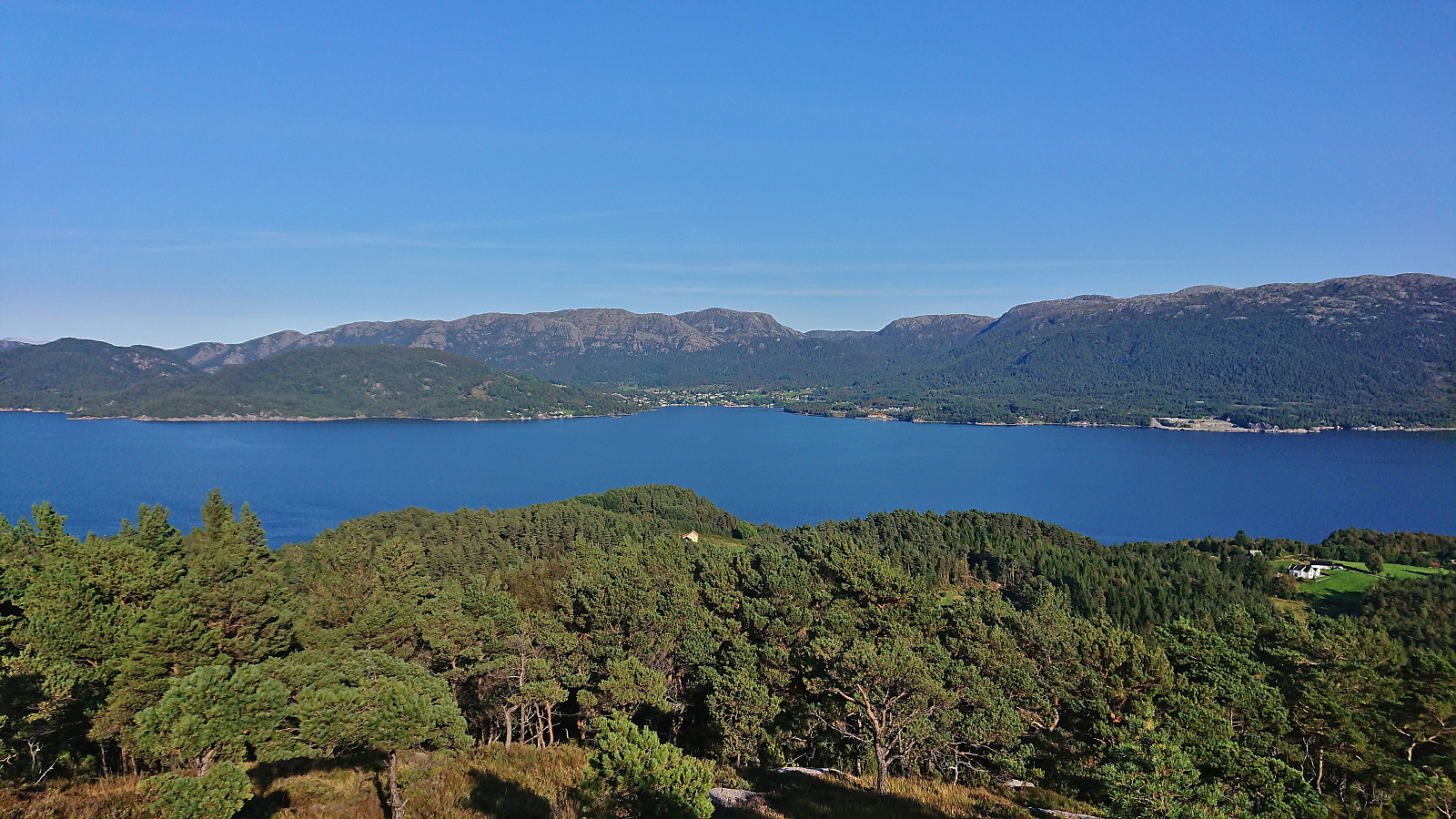
Better views than expected from the summit and a nice location for a short break before starting the descent. Due to not wanting to return to the barking dog, and perhaps to save some time, I did not return the same way but instead continued east in the direction of Ervessundet. At first this was straightforward but later the terrain turned wetter and the vegetation denser. In addition, there were suddenly also large black cows to avoid. In the end I however managed to navigate all of this without too much trouble and soon arrived at a cabin from where I could follow the roads down to Ervesvika.
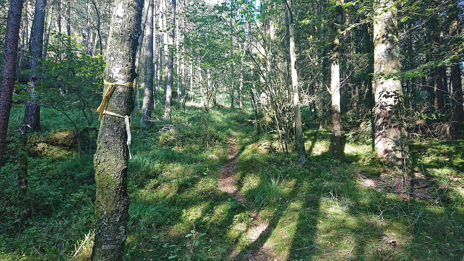
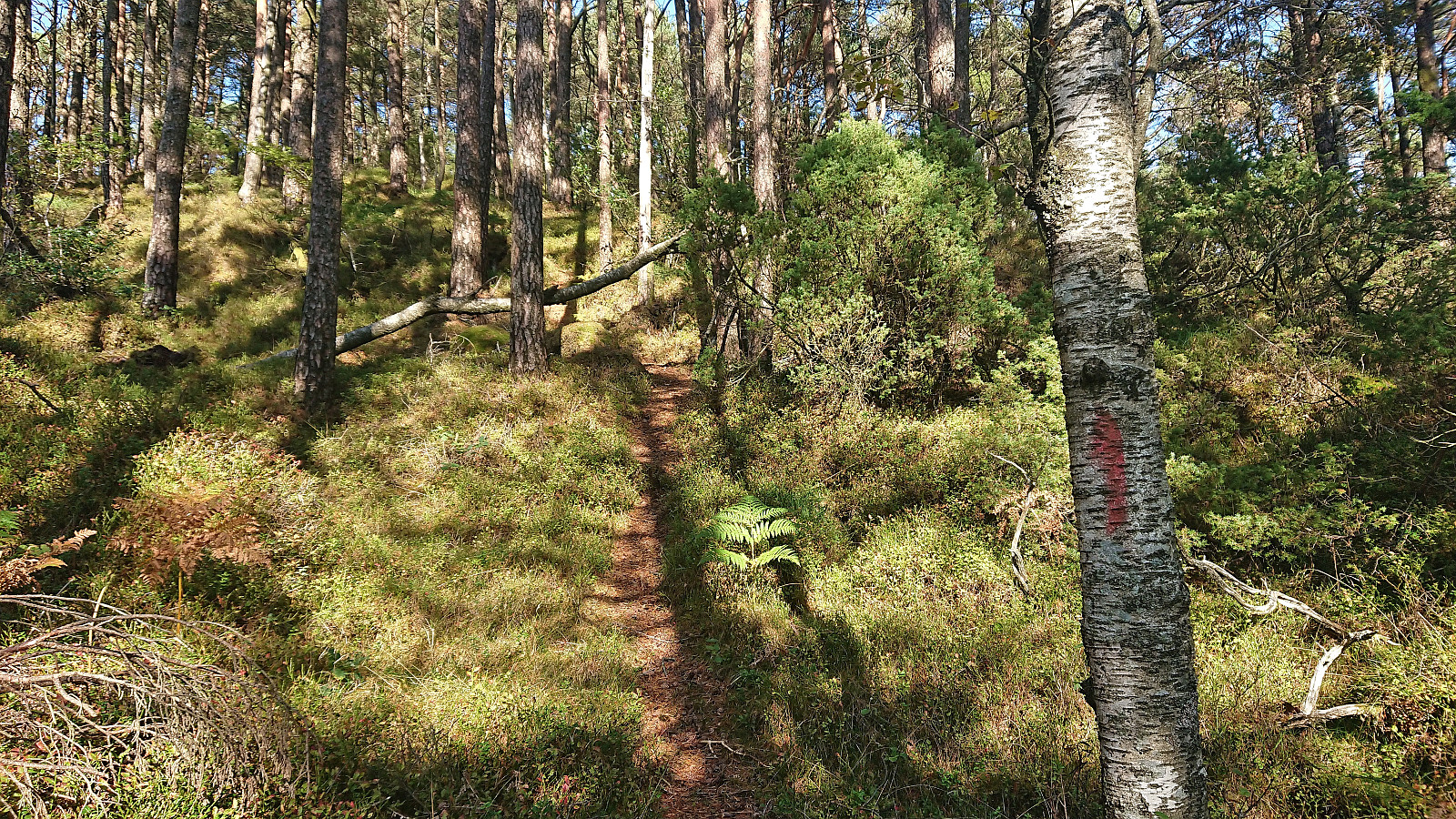
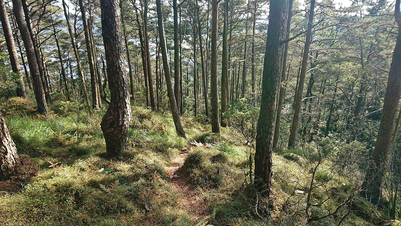
I continued northeast along the roads towards Vardafjellet/Vårefjellet. When approaching from the southwest this mountain (or rather the connecting hill of Smidjefjellet) looked very steep but thanks to the earlier trip report from Geir I easily located a trail that could be followed all the way to the summit. The trail was marked with a combination of yellow ribbons and red paint, however as the trailhead (and the first part of the trail) was unmarked I was a bit confused at the start by the trail not following the trail stub indicated on the map.
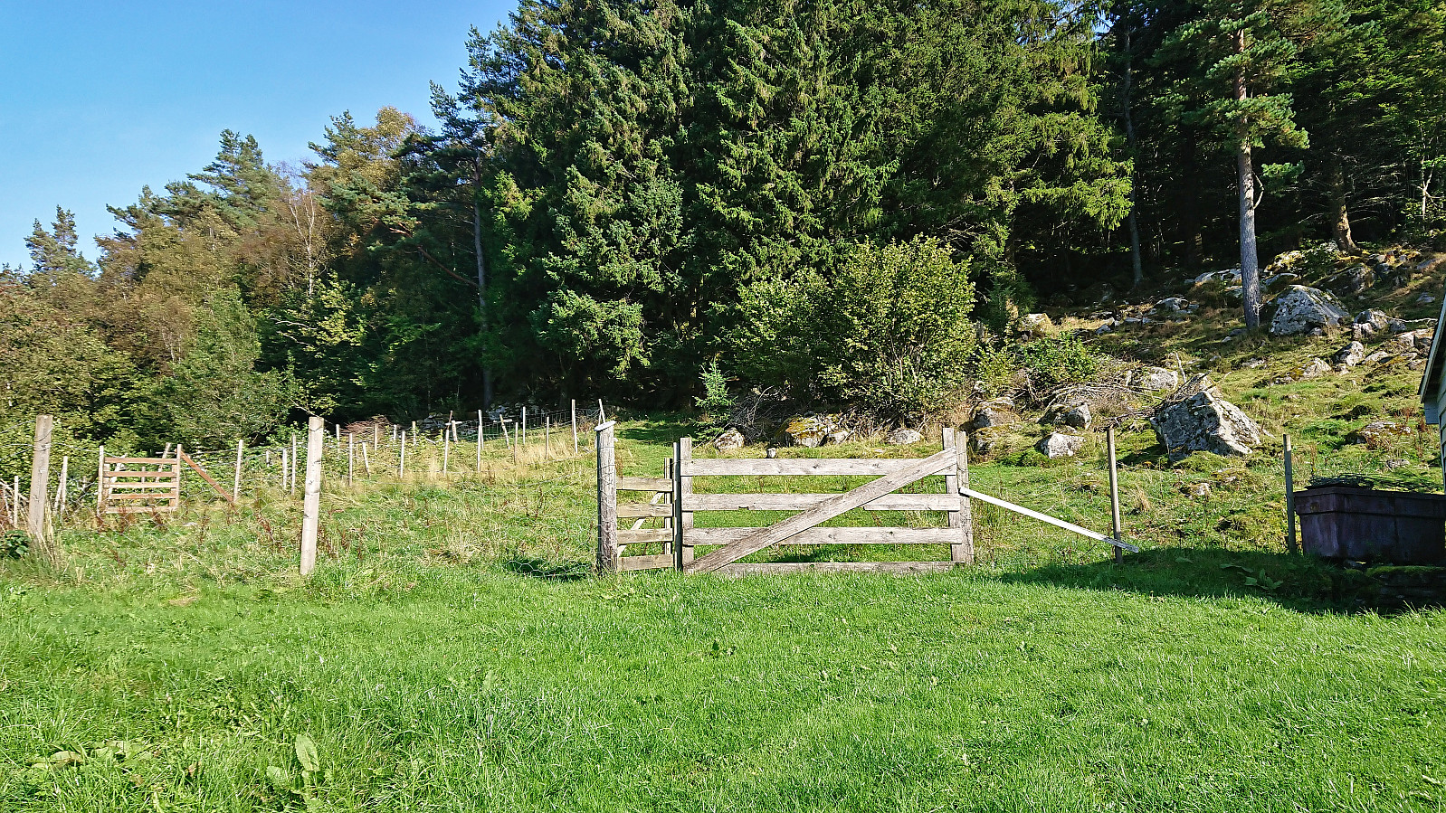
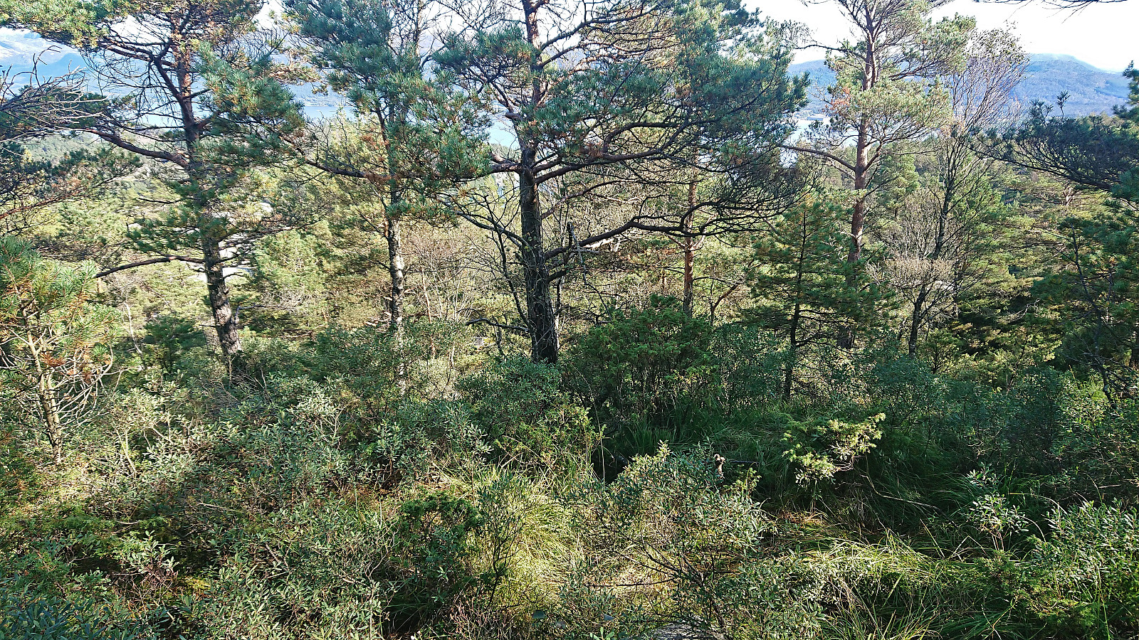
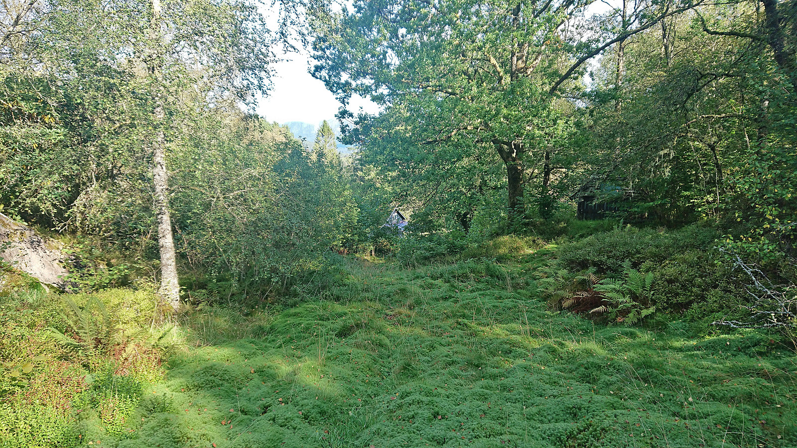
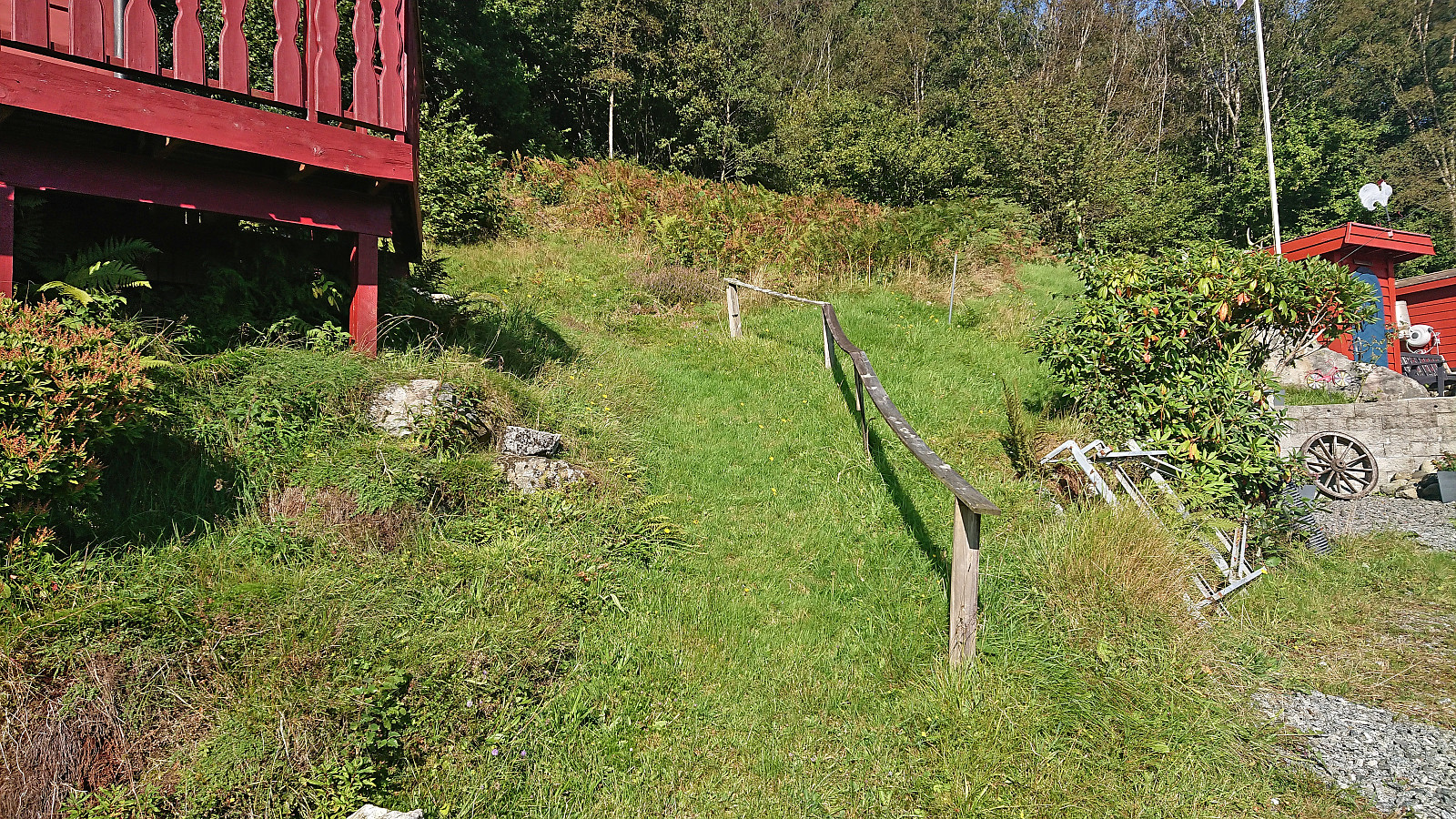
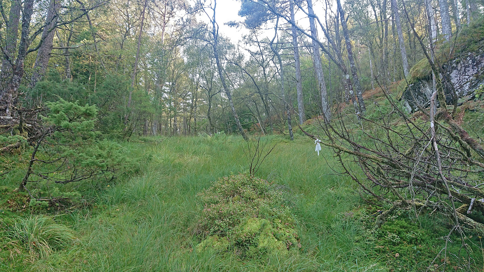
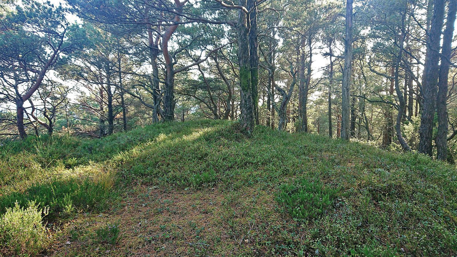
The summit area provided a couple of competing highest points, with no cairns or markers of any kind, hence I simply visited all of them. Overall limited views due to all of the trees, although some openings could be found. After a short break I descended along the same route and continued north towards Selsåsåsen (incorrectly named just Selsåsen on PB). Here I had read some rumors about a possible marked trail, hence my hopes were high as I left the main road and started on the gravel road towards the final house east of the summit.
My plan had been to follow the road northwest from the house and ascend via the mentioned trail from the north. However, as I was about to start on this road I realized that I was on the wrong side of the garage west of the main house, partly as heading on the northern side of this building would mean opening a gate to a field full of sheep. Given the short remaining distance I decided to simply head off-trail in the direction of the summit.
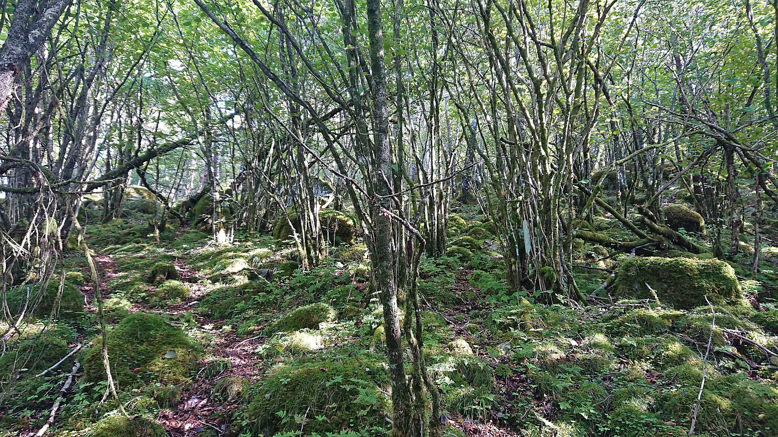
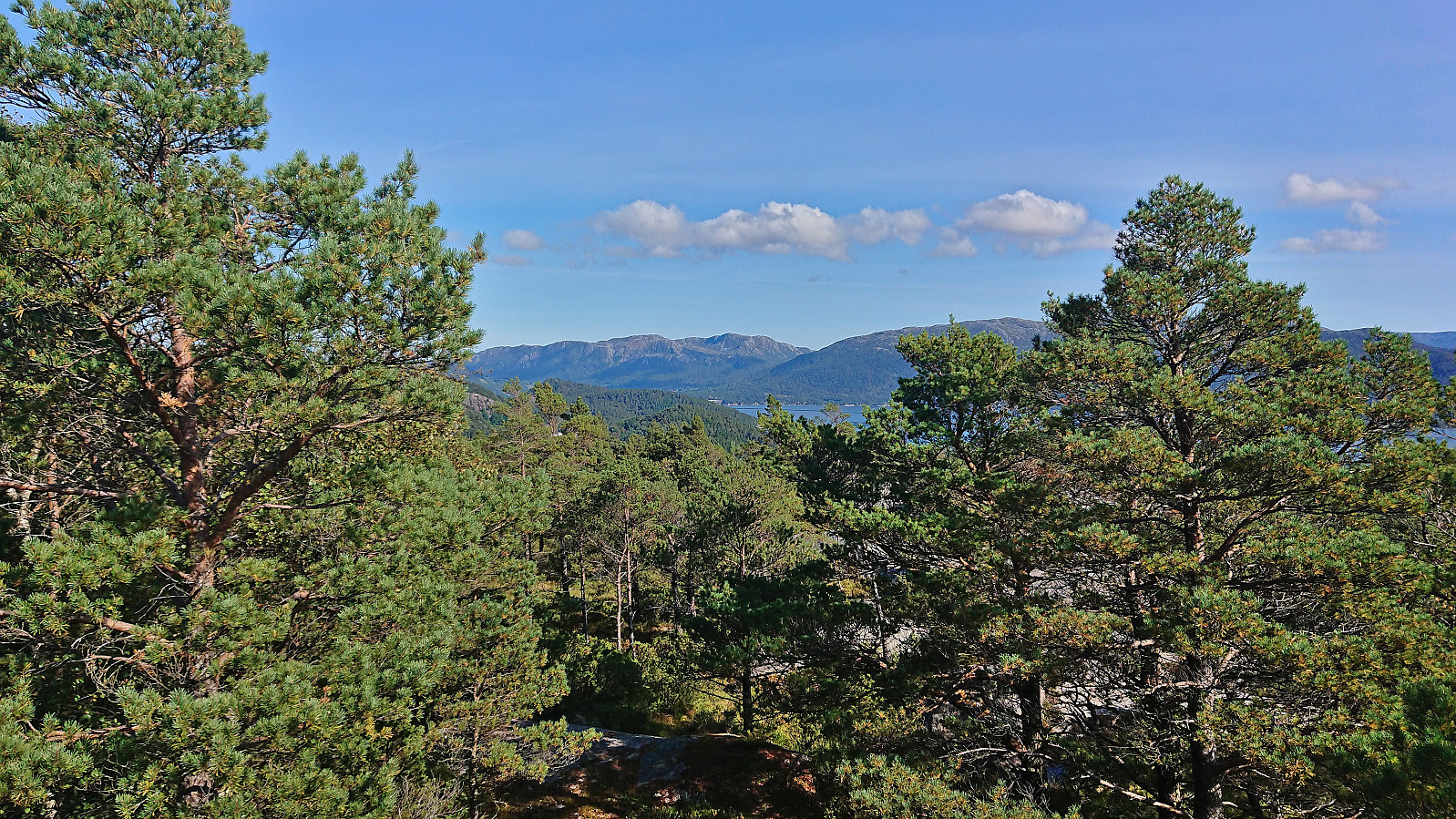
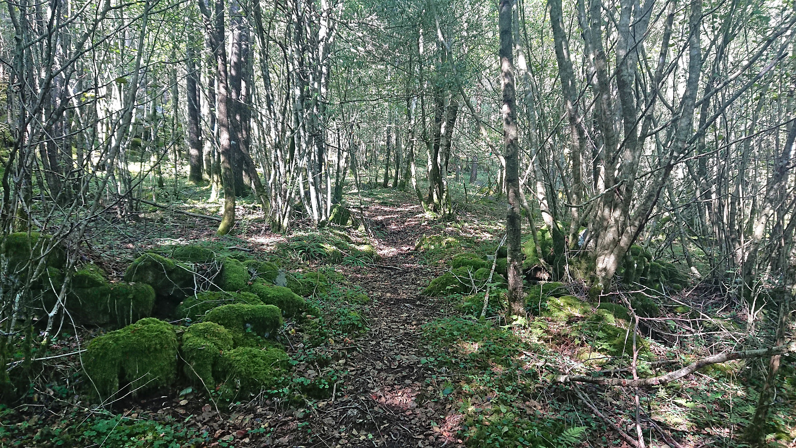
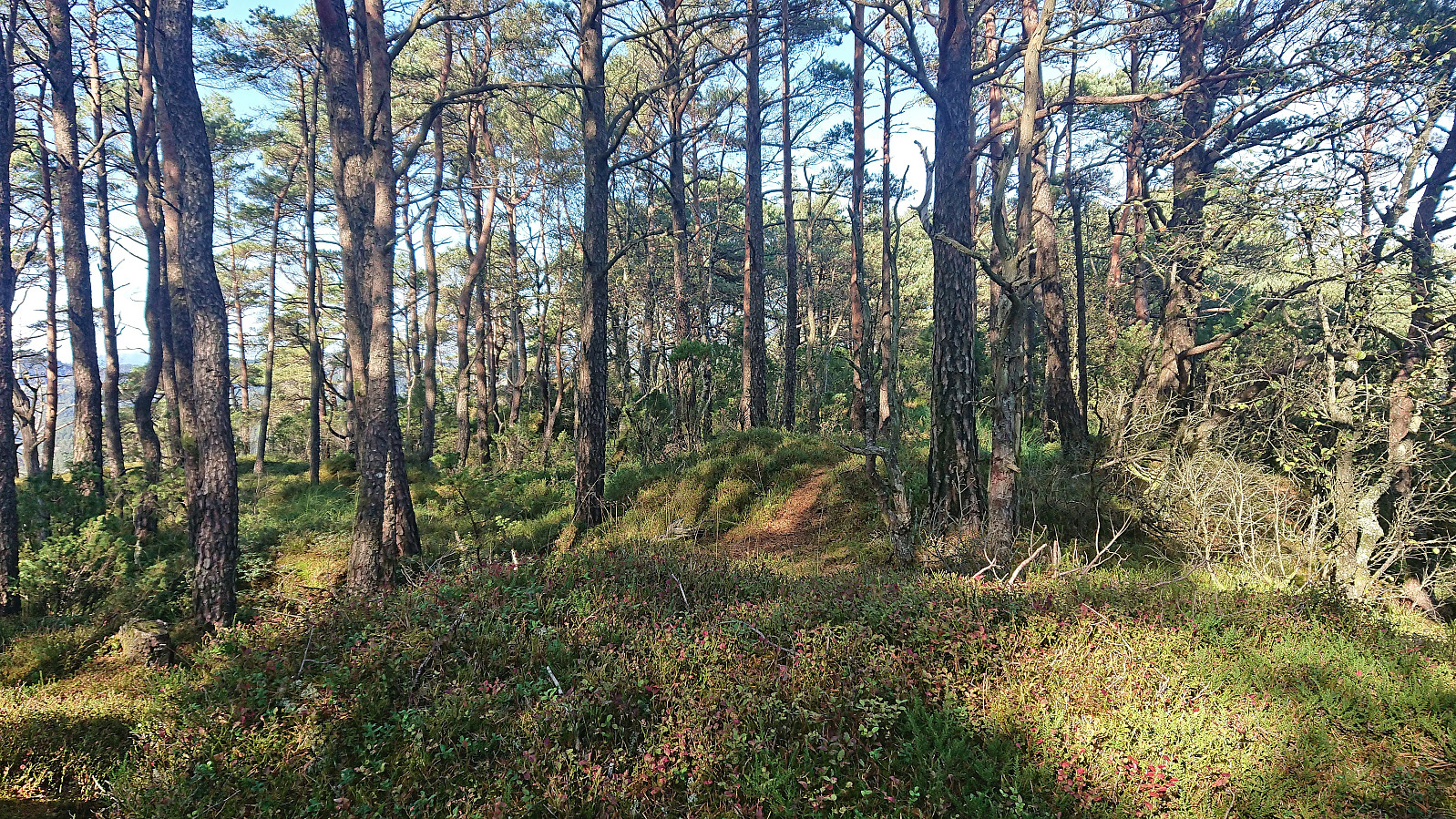
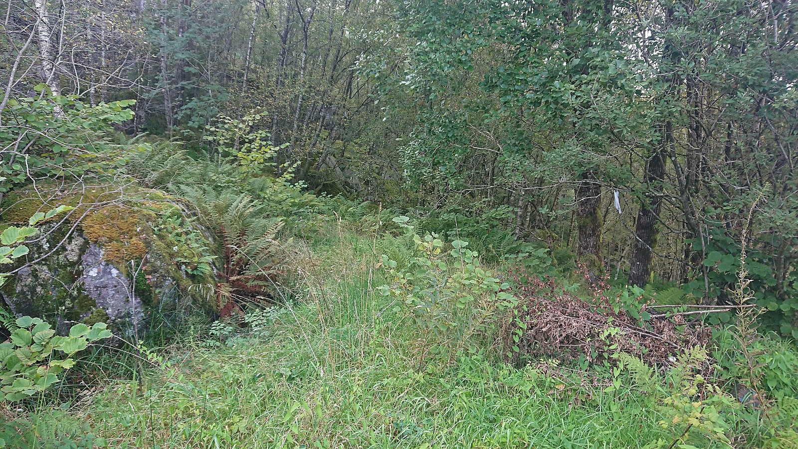
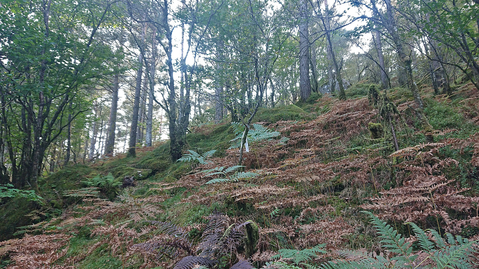
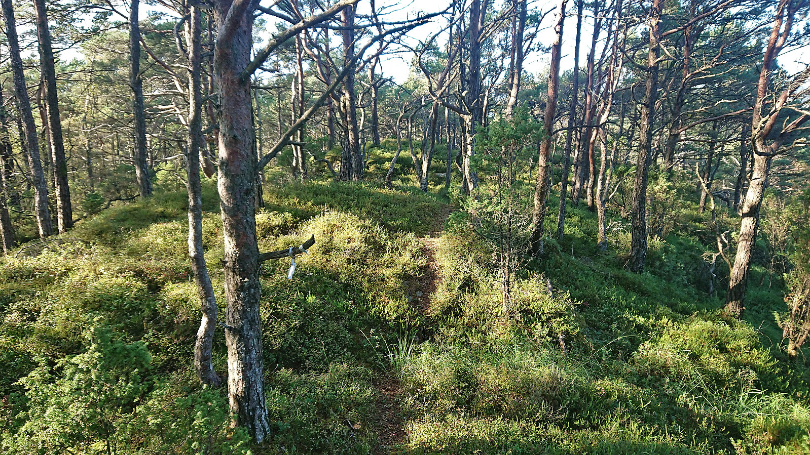
At first this included a bit of fighting with the dense vegetation and wet terrain but suddenly I came across white plastic ribbons that from then on I could more or less follow all the way to the summit. At times there was even a weak trail hidden underneath the ferns. The summit itself provided very limited views but there were some great views to be obtained during the ascent. The marked trail seemed to continue north across the ridge but as I quickly lost both trail and markers, I decided to give up and simply return my ascent route.
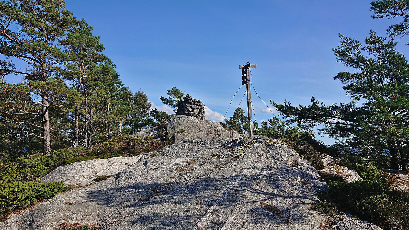
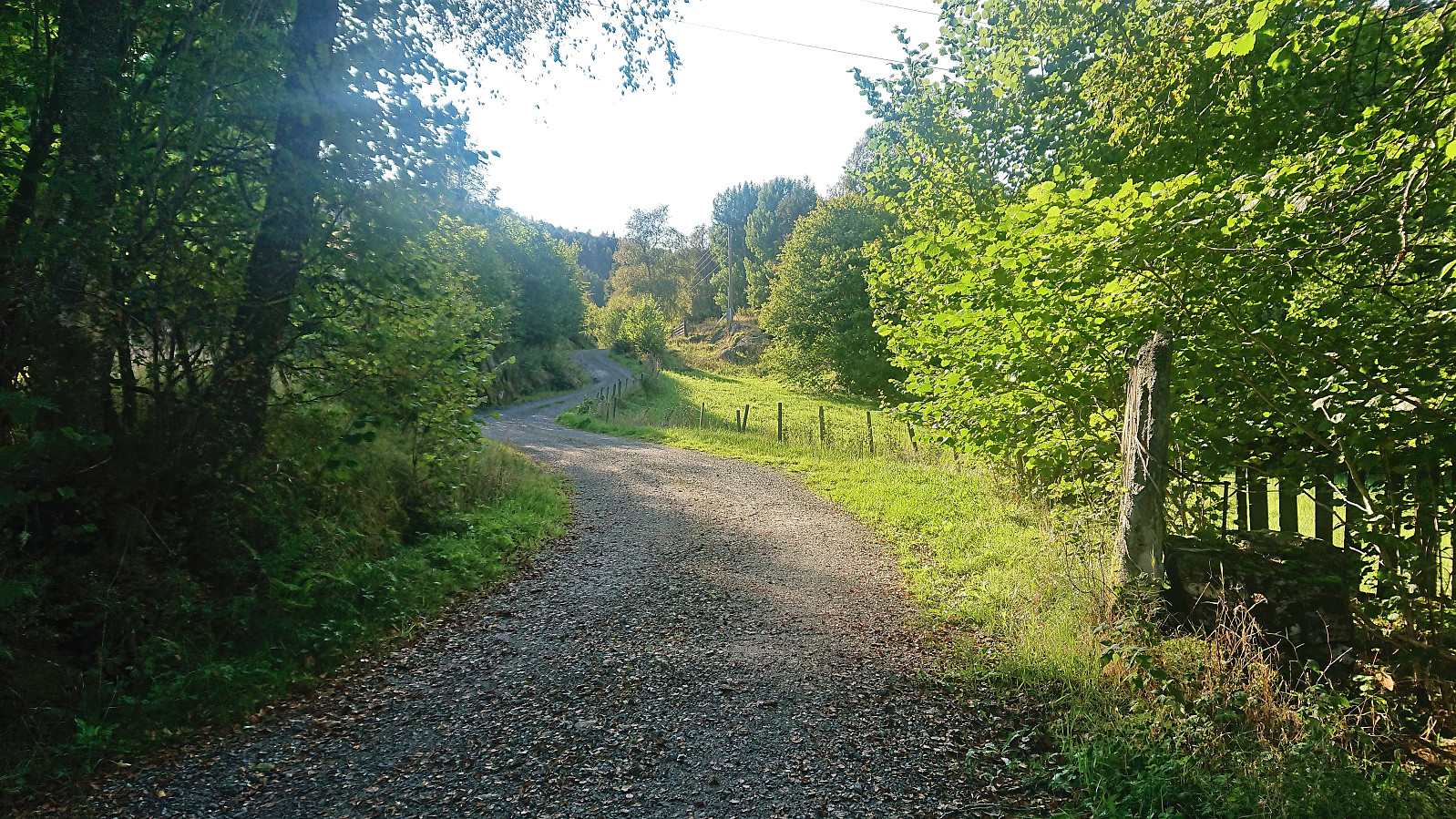
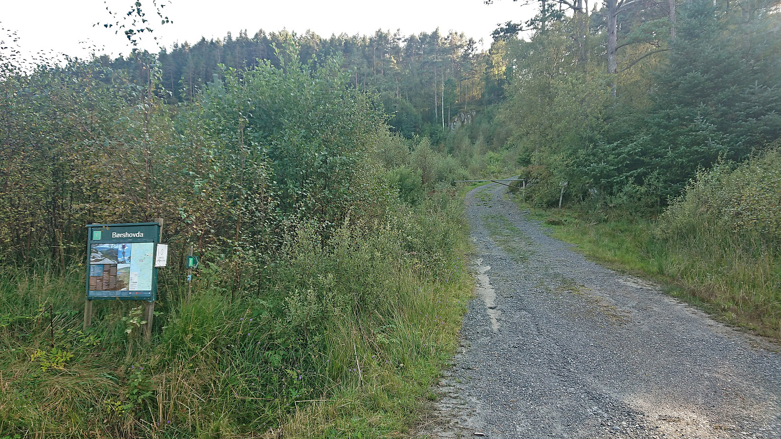
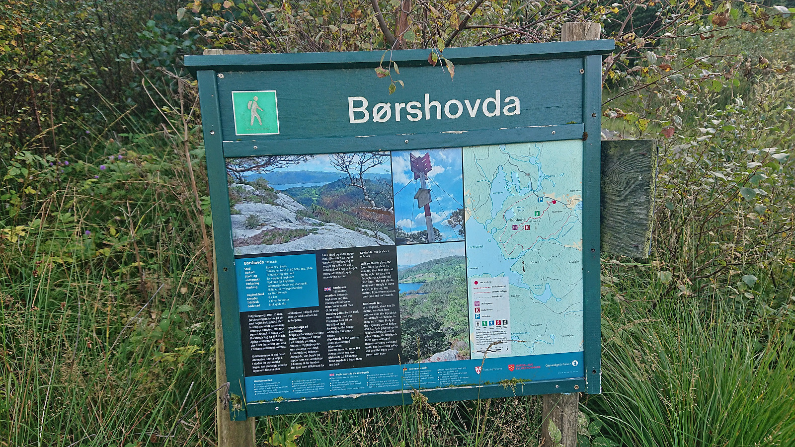
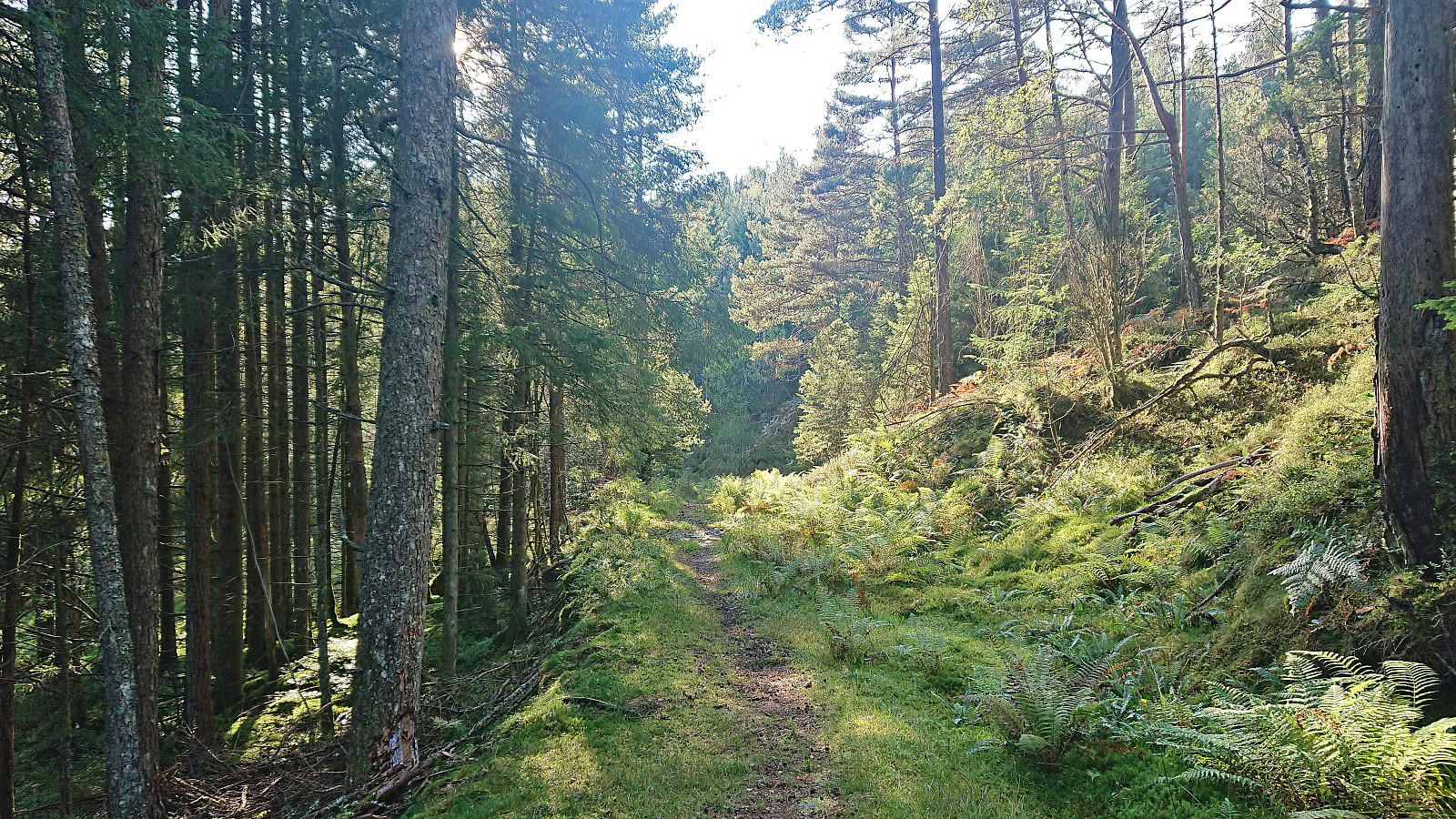
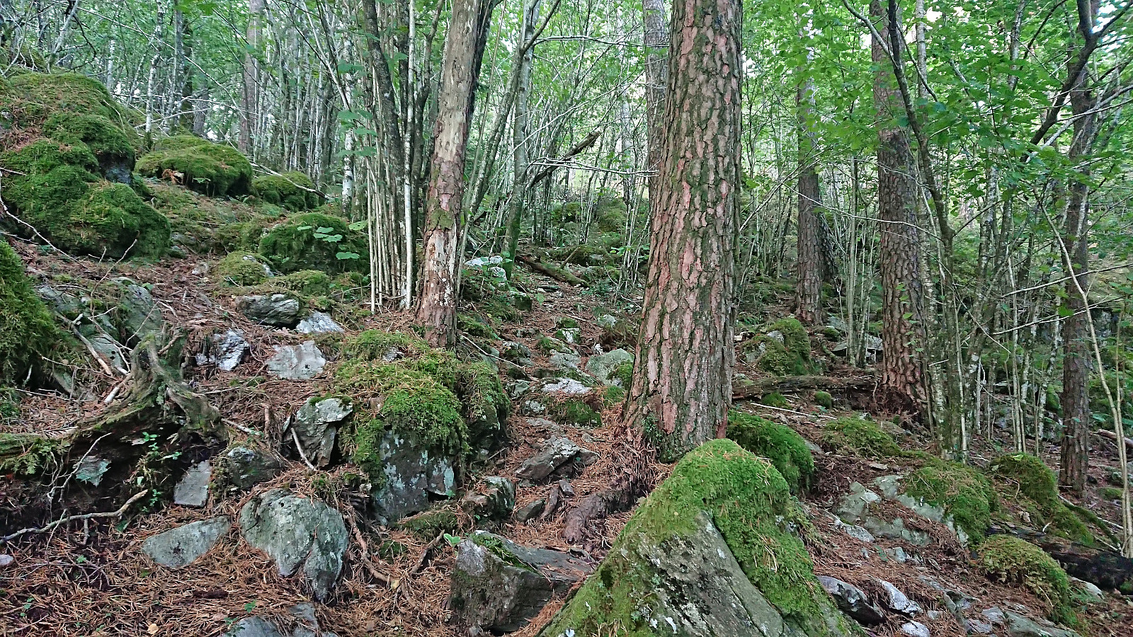
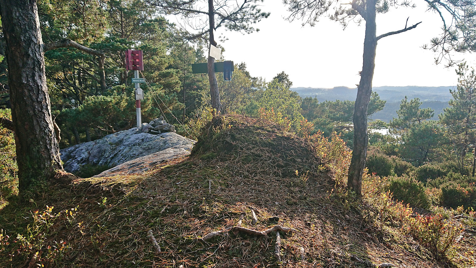
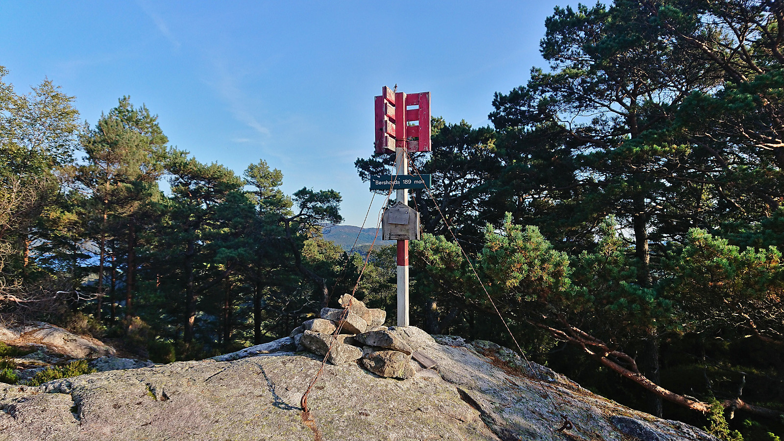
Back on the main road I continued northwest towards the final goal of the day: Børshovda. When later leaving the main road to start the ascent there was, for the first time today, a sign with information about the trails to the summit. The start was also very promising, however the nice gravel road did not last long and was soon replaced by an overgrown tractor road which later turned into a trail that descended more than I had been expecting and included several wet and muddy sections before finally starting its climb towards the summit.
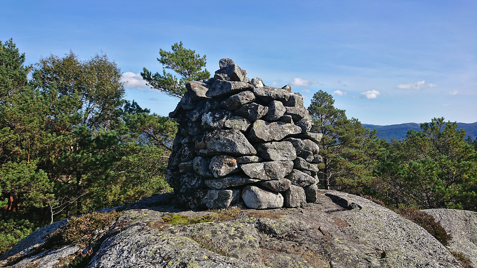
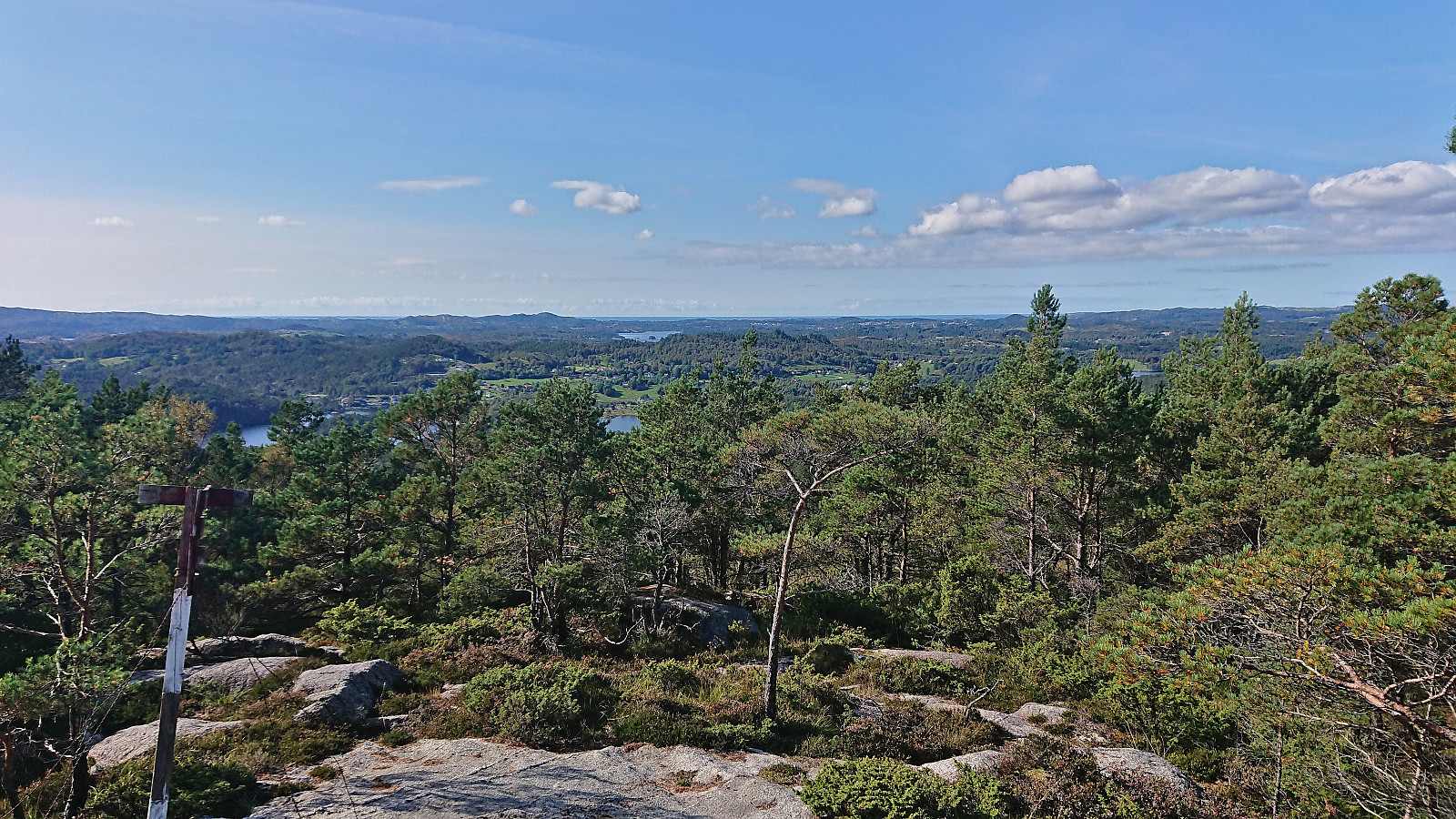
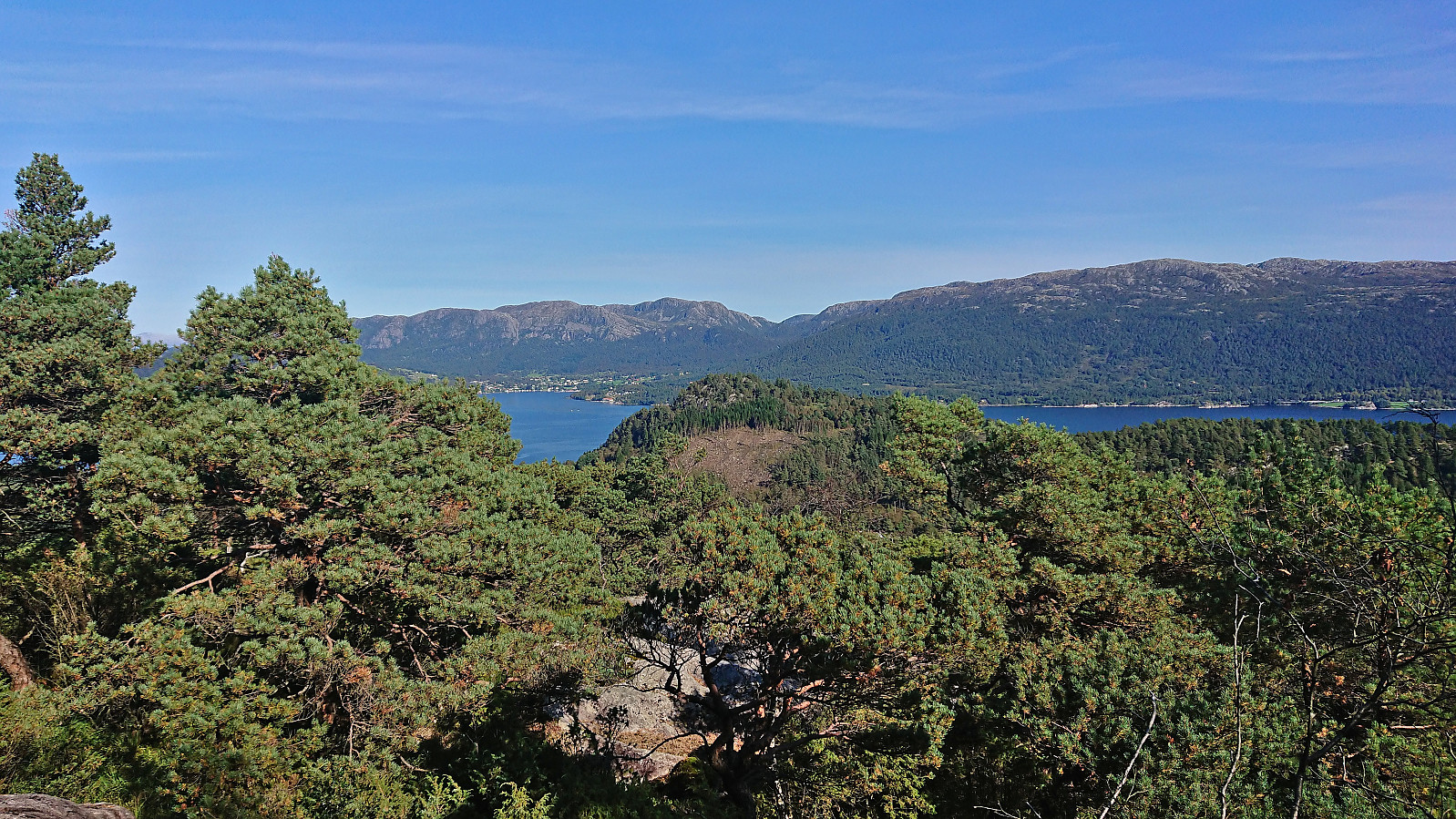
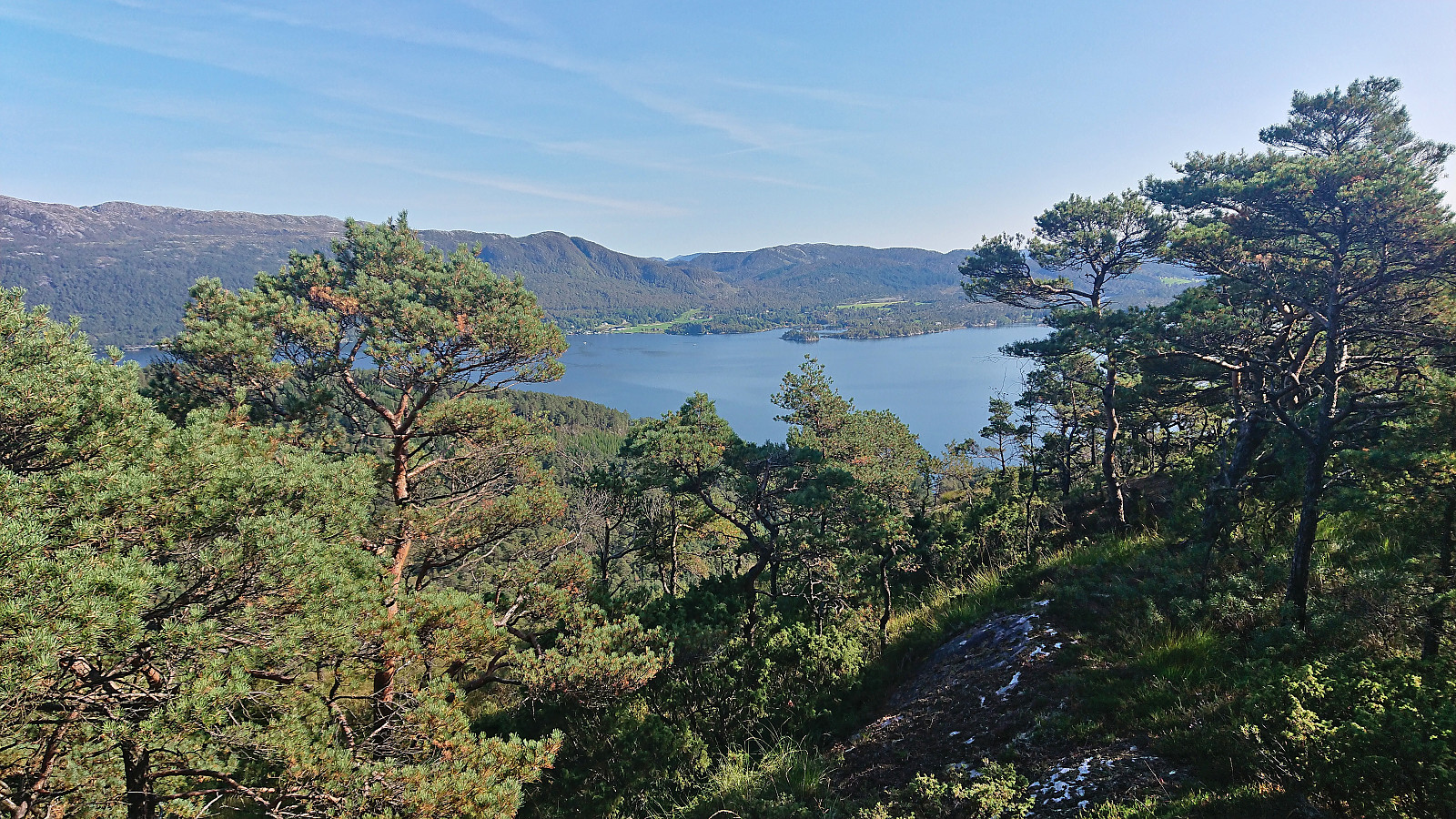
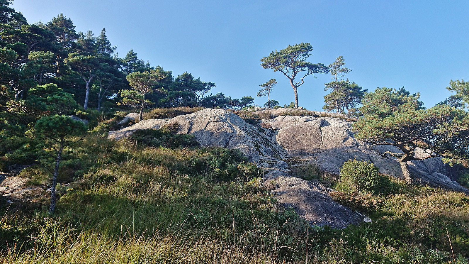
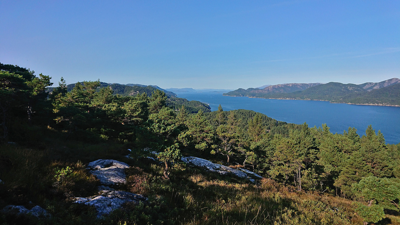
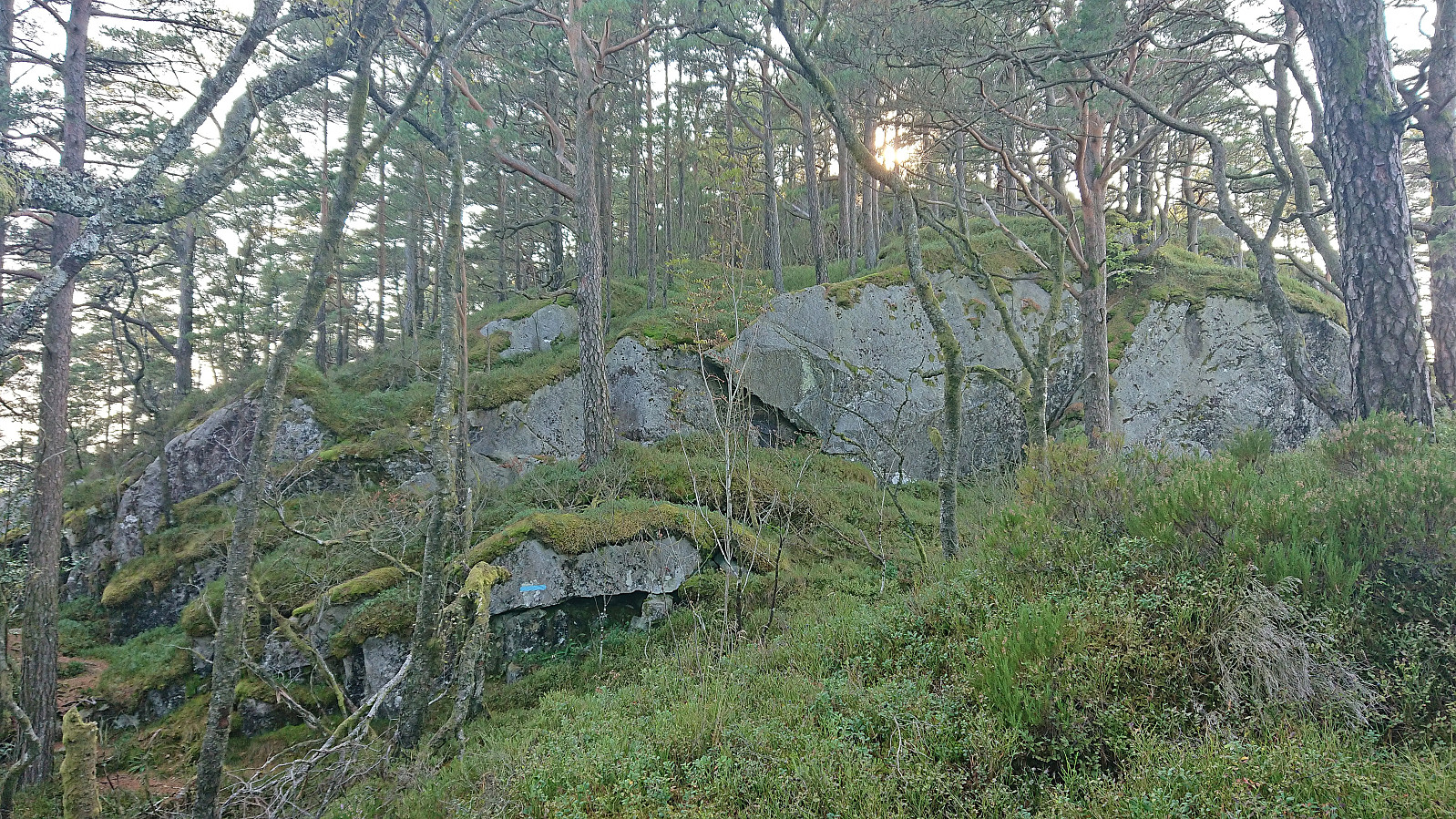
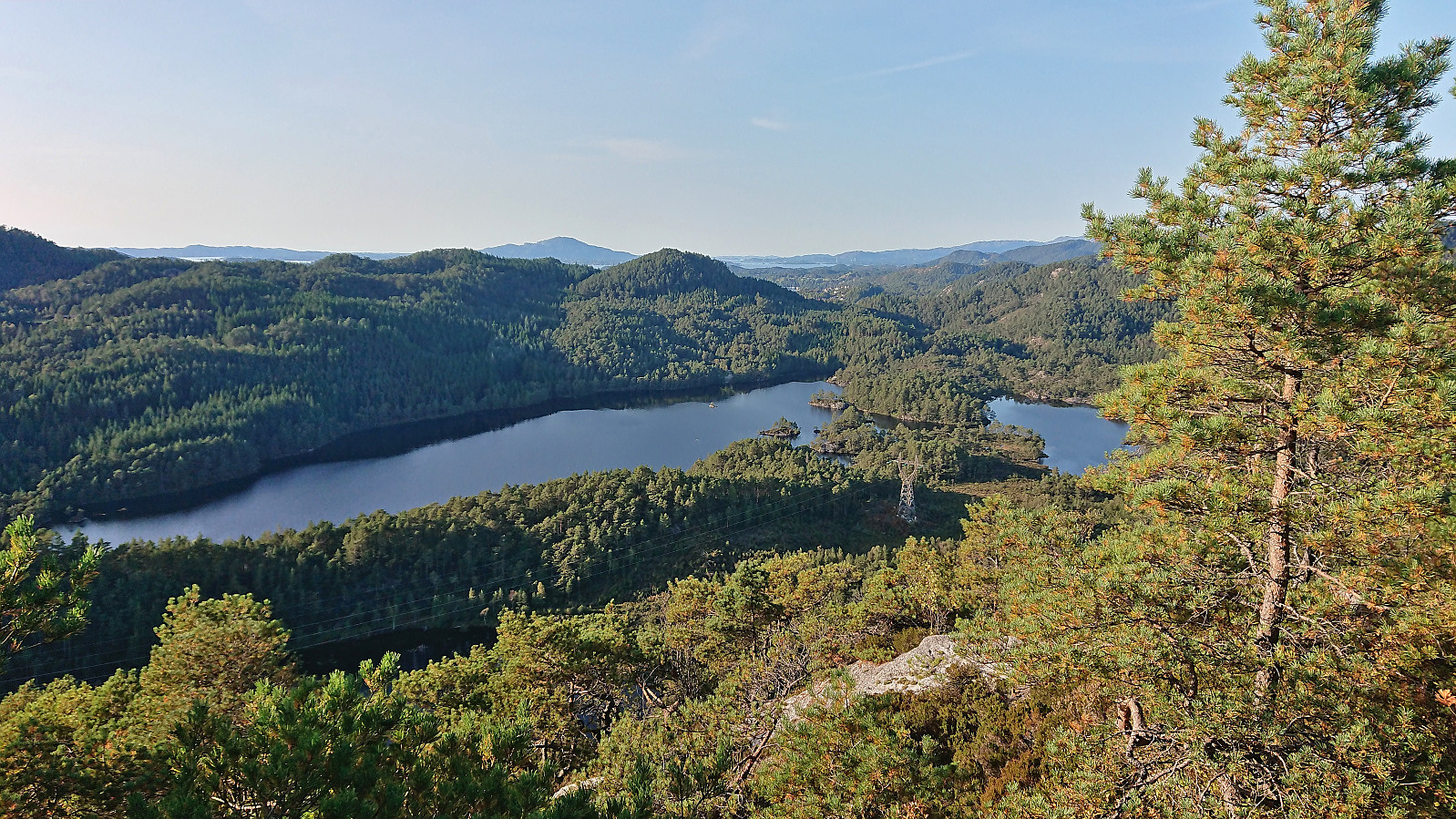
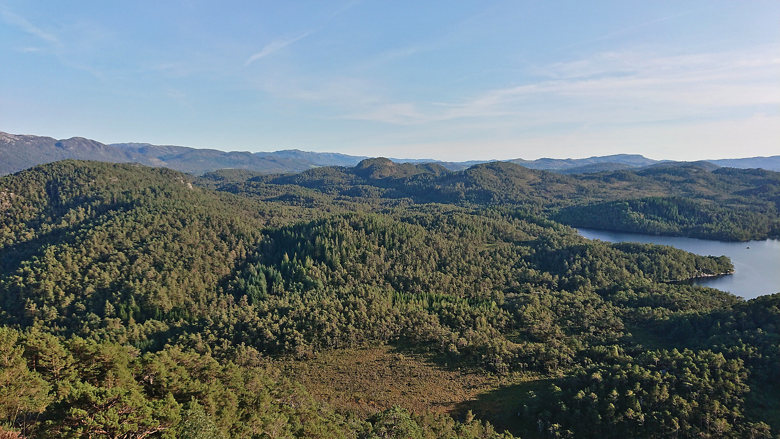
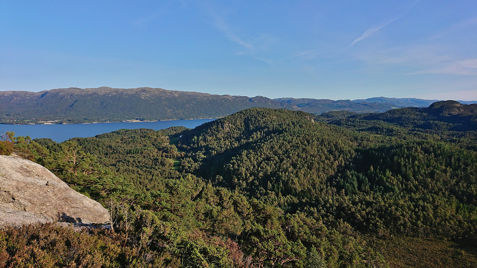
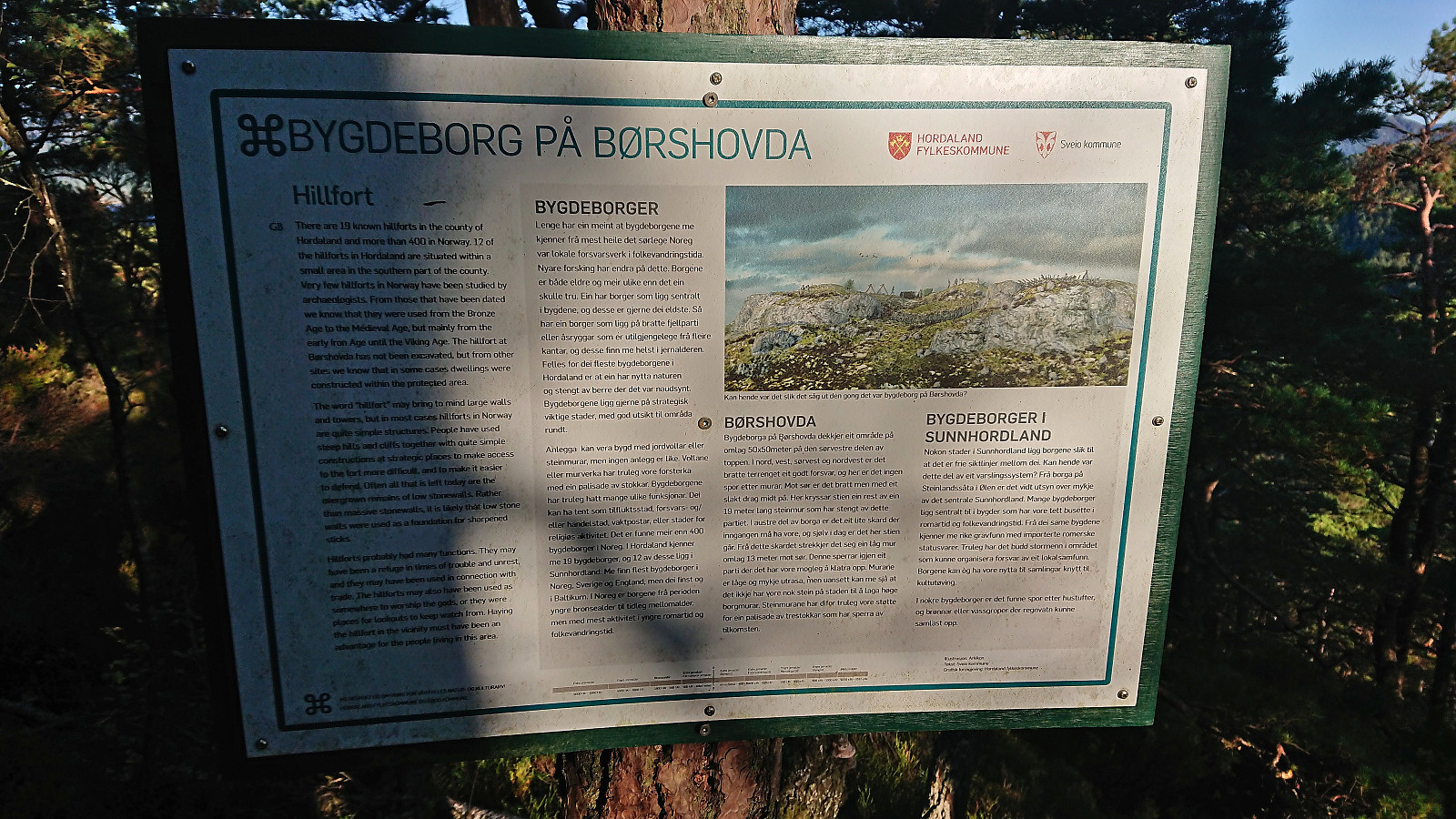
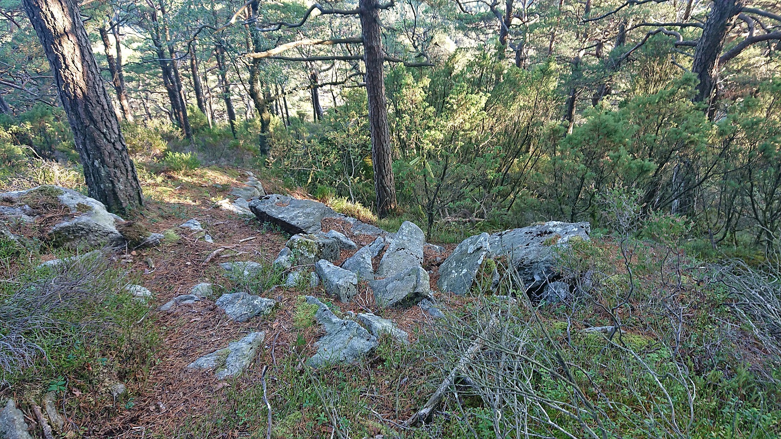
The summit, and perhaps even more so the lower hill to the southwest, provided excellent views and a nice location for one last break. The information sign at the trailhead had mentioned "Børshovda fort", however besides a second information sign south of the summit I could not see many traces of this old stronghold and soon returned along the same route.
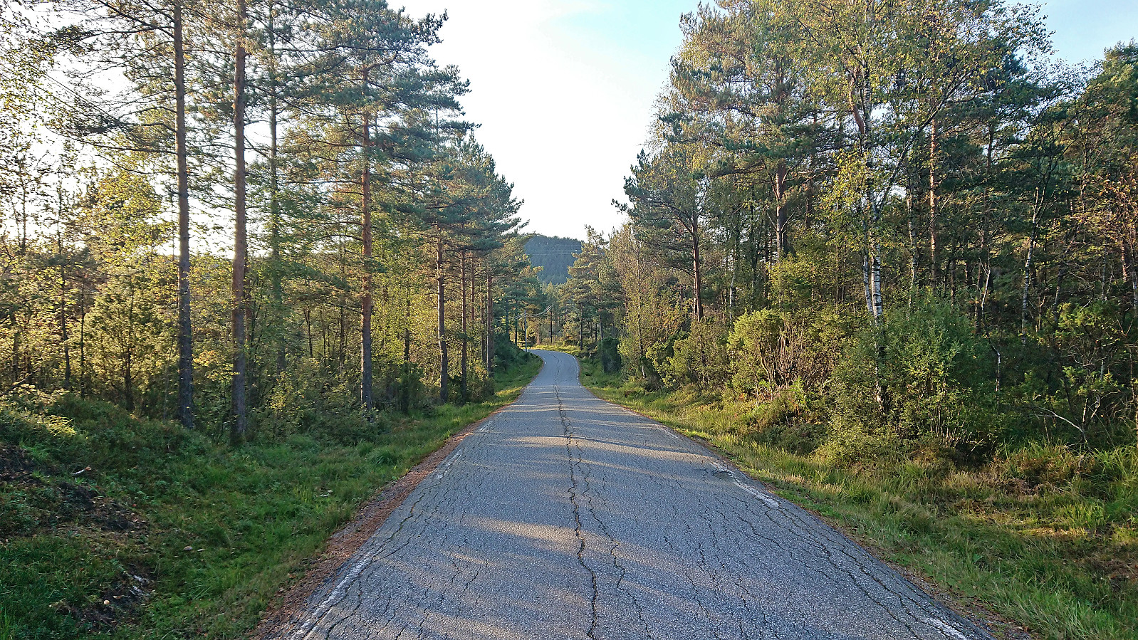
All that remained was then the walk along the road north to Førde for the bus back to Bergen, and even though I tried to take it slow and also changed my ticket to an earlier bus, I still arrived at the bus stop with more than half an hour to spare. To kill some of the time I therefore walked north along the road (after stopping the GPS) before returning to the bus stop, changed into dry clothes and waited the final minutes for the bus.
In summary, while each of these four summits can be visited without any real issues, I would argue that only Børshovda is worth a visit for the average hiker. However, the walk between the summits was also much more enjoyable than expected given the great scenery. Thus it was overall not the worst way to complete the Sveio ≥ 100m pf. list. And I'm pretty sure I'm the first person to do so by only relying on public transport, especially when adding that all trips have started and ended in Bergen. :)
| Startzeitpunkt | 17.09.2023 12:10 (UTC+01:00 SZ) |
| Endzeitpunkt | 17.09.2023 19:00 (UTC+01:00 SZ) |
| Gesamtzeit | 6h 49min |
| Zeit in Bewegung | 6h 07min |
| Pausenzeit | 0h 42min |
| Gesamtschnitt | 3,5km/h |
| Bewegungsschnitt | 3,9km/h |
| Entfernung | 24,1km |
| Höhenmeter | 897m |


Benutzerkommentare