
Dyrdalsrunden (30.08.2023)

Skrevet av hbar (Harald Barsnes)

| Startsted | Bontveit parkering (305moh) |
|---|---|
| Sluttsted | Bontveit parkering (305moh) |
| Turtype | Fjelltur |
| Turlengde | 6t 30min |
| Distanse | 14,3km |
| Høydemeter | 899m |
| GPS |
|
| Bestigninger | Austefjellet (806moh) | 30.08.2023 |
|---|---|---|
| Hausdalshorga (781moh) | 30.08.2023 | |
| Slettegga (742moh) | 30.08.2023 | |
| Andre besøkte PBE'er | Bjørnastølen (376moh) | 30.08.2023 |
| Bontveit parkering (304moh) | 30.08.2023 | |
| Bontveit søyle (396moh) | 30.08.2023 | |
| Domus Medica (353moh) | 30.08.2023 | |
| Varden på Hausdalshorga (775moh) | 30.08.2023 | |
| Hjelpekorpshytten (363moh) | 30.08.2023 | |
| Vinterlund (privat) (335moh) | 30.08.2023 |
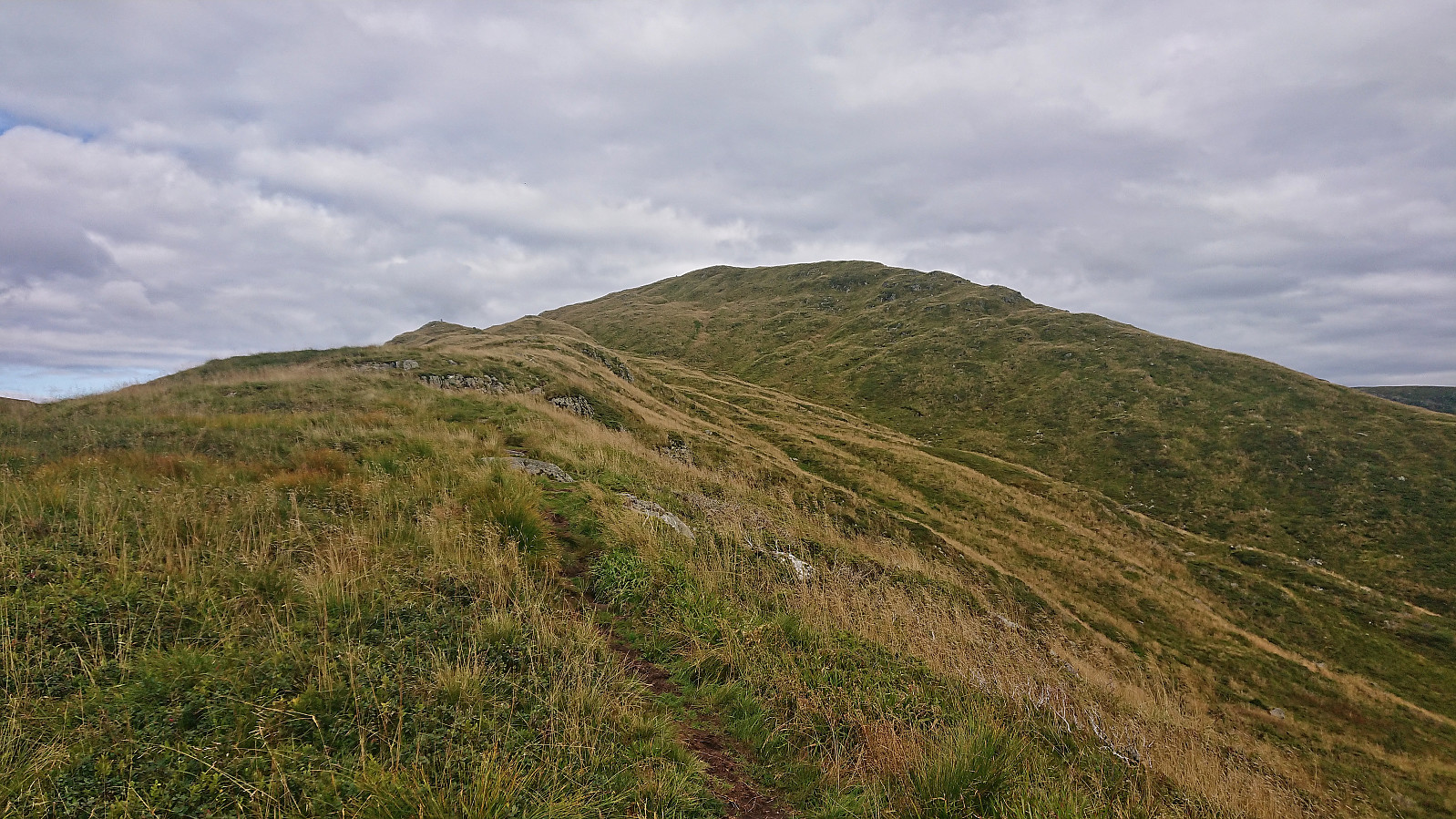
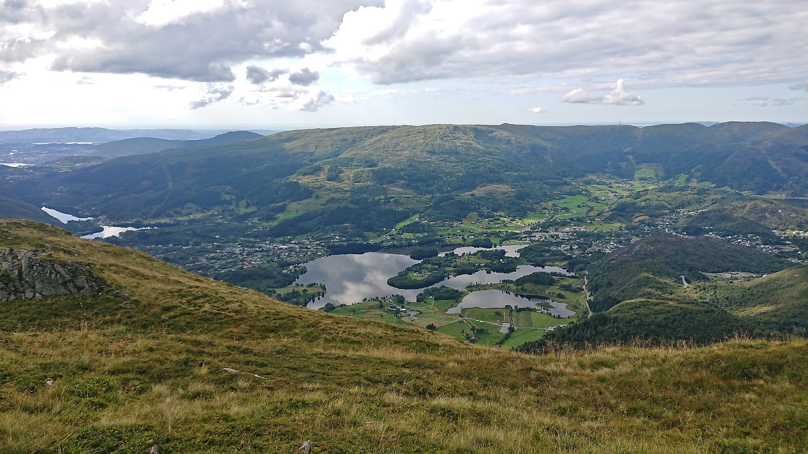
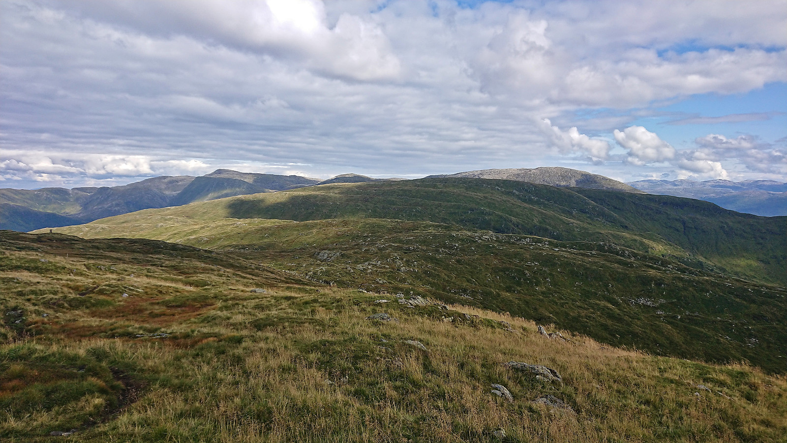
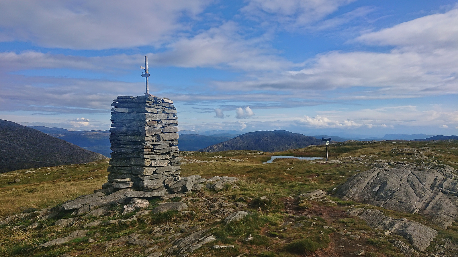
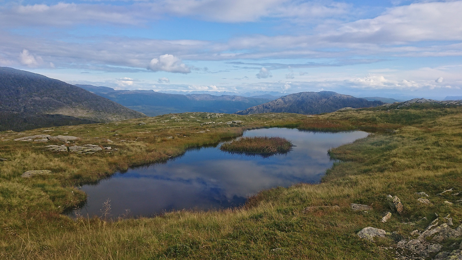
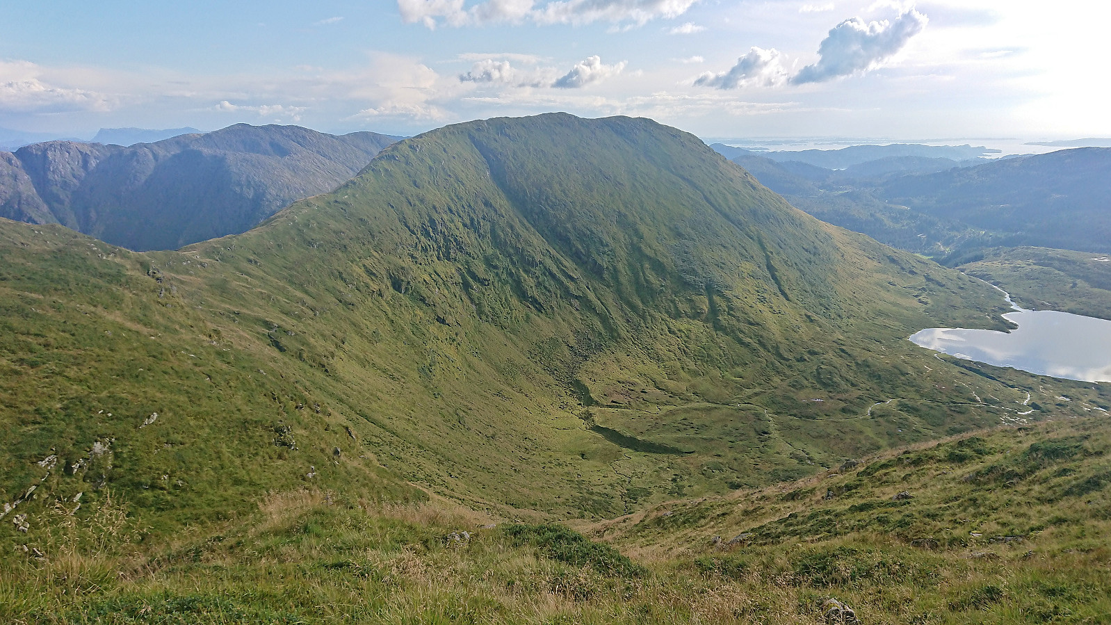
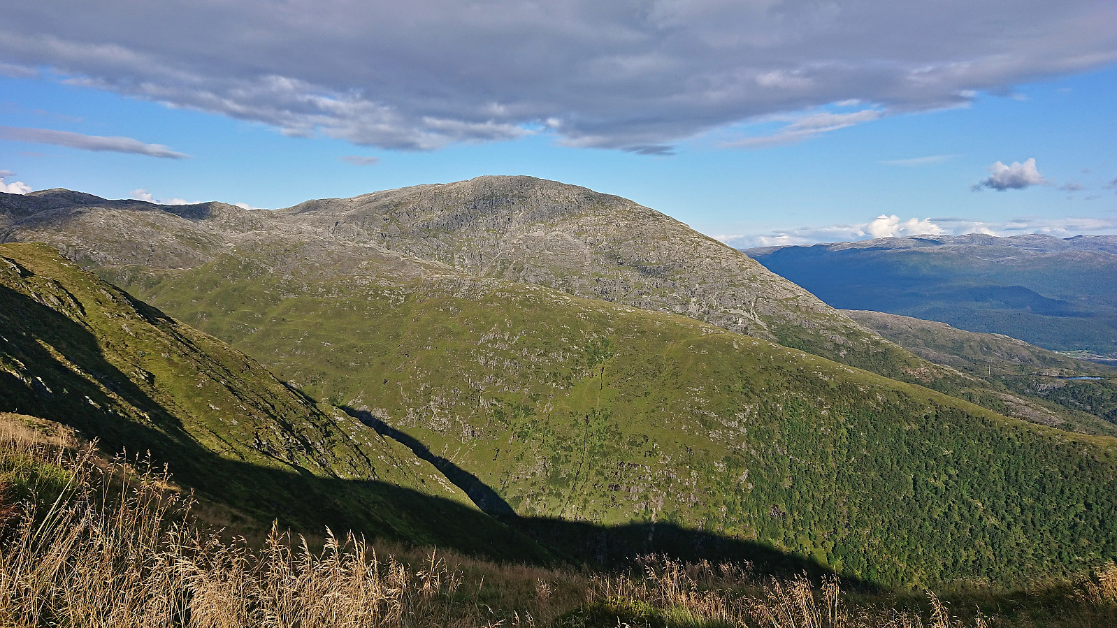
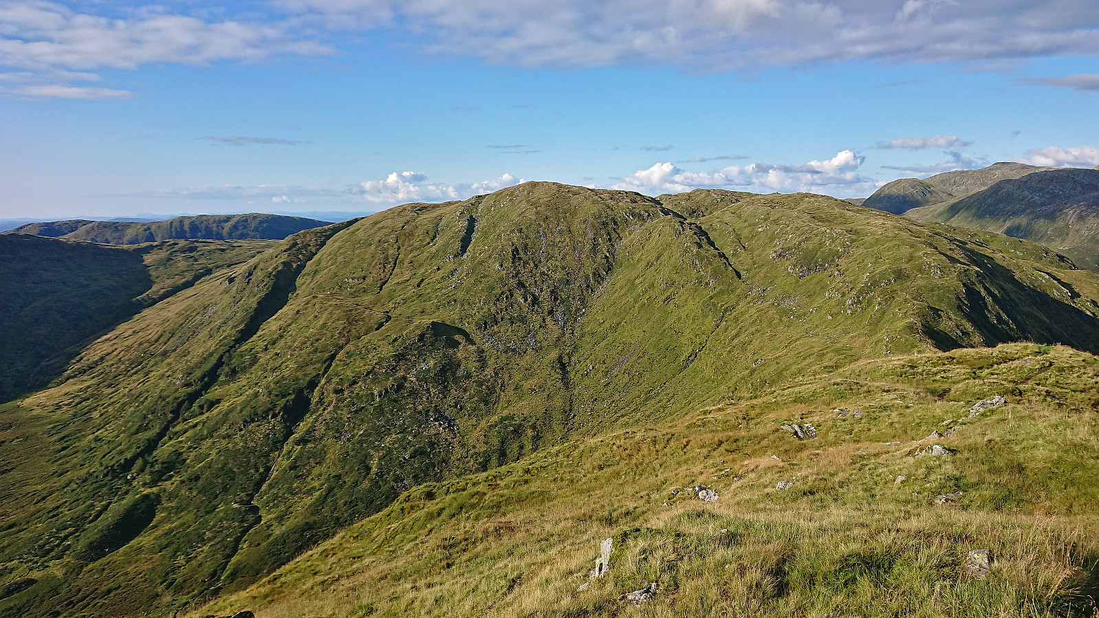
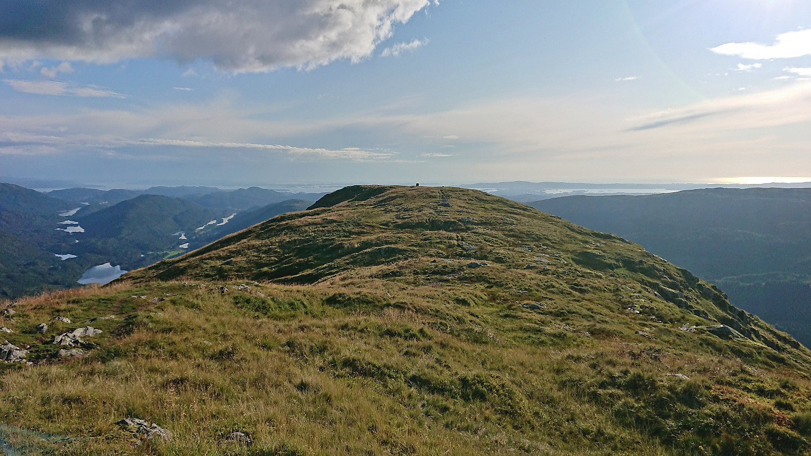
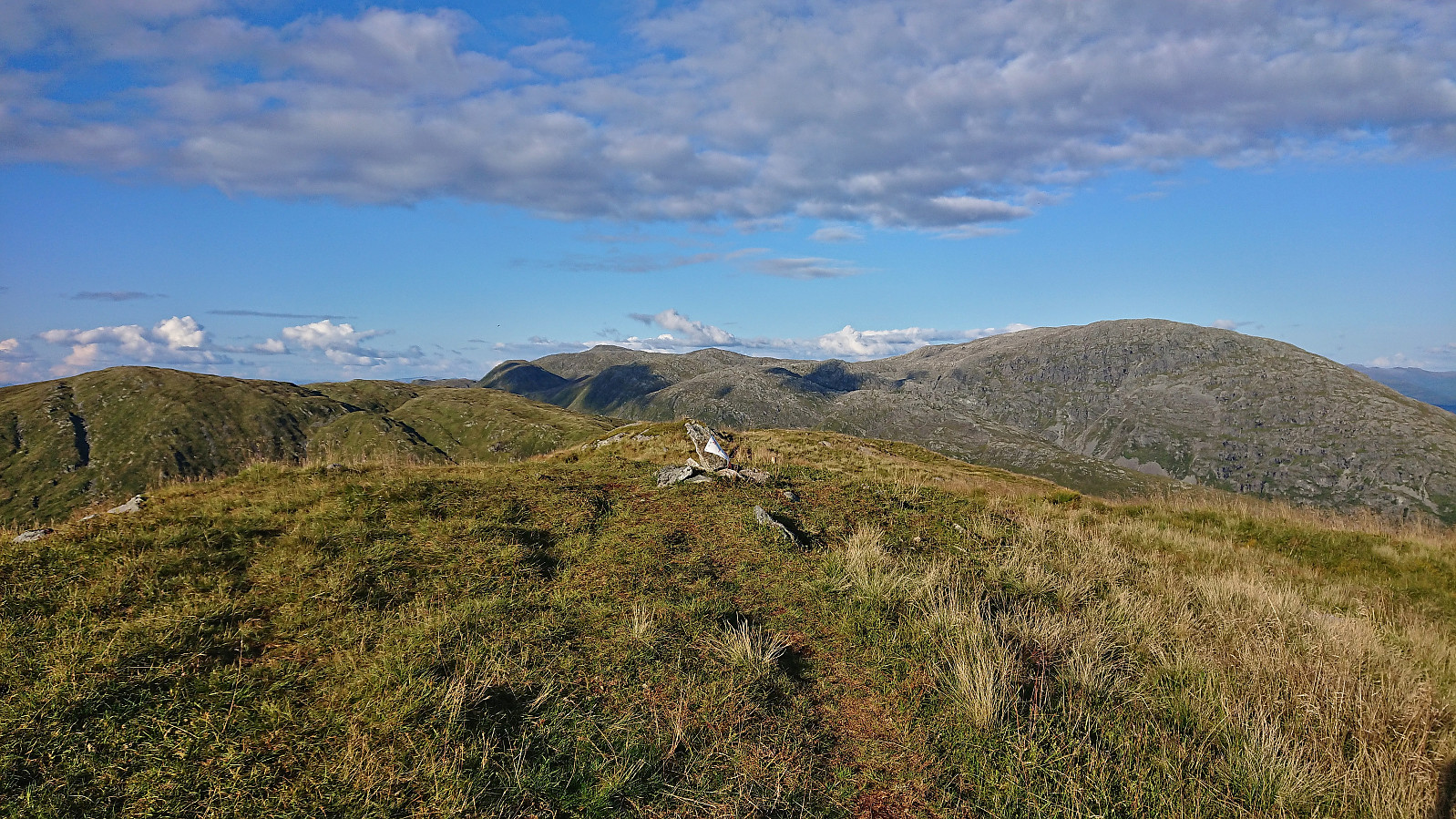
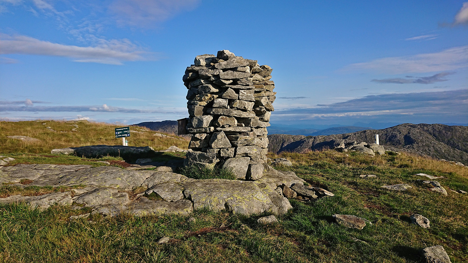
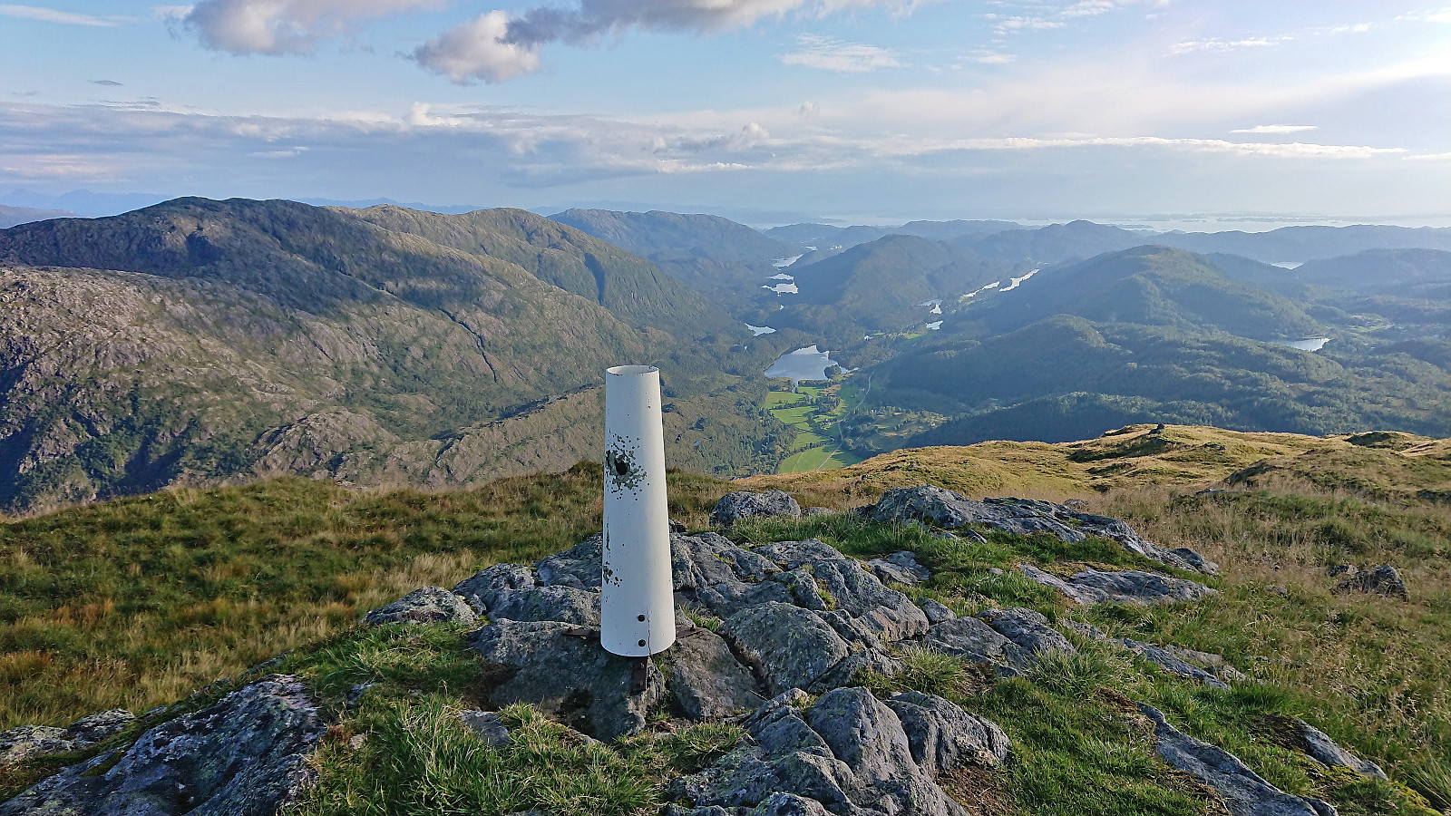
Dyrdalsrunden
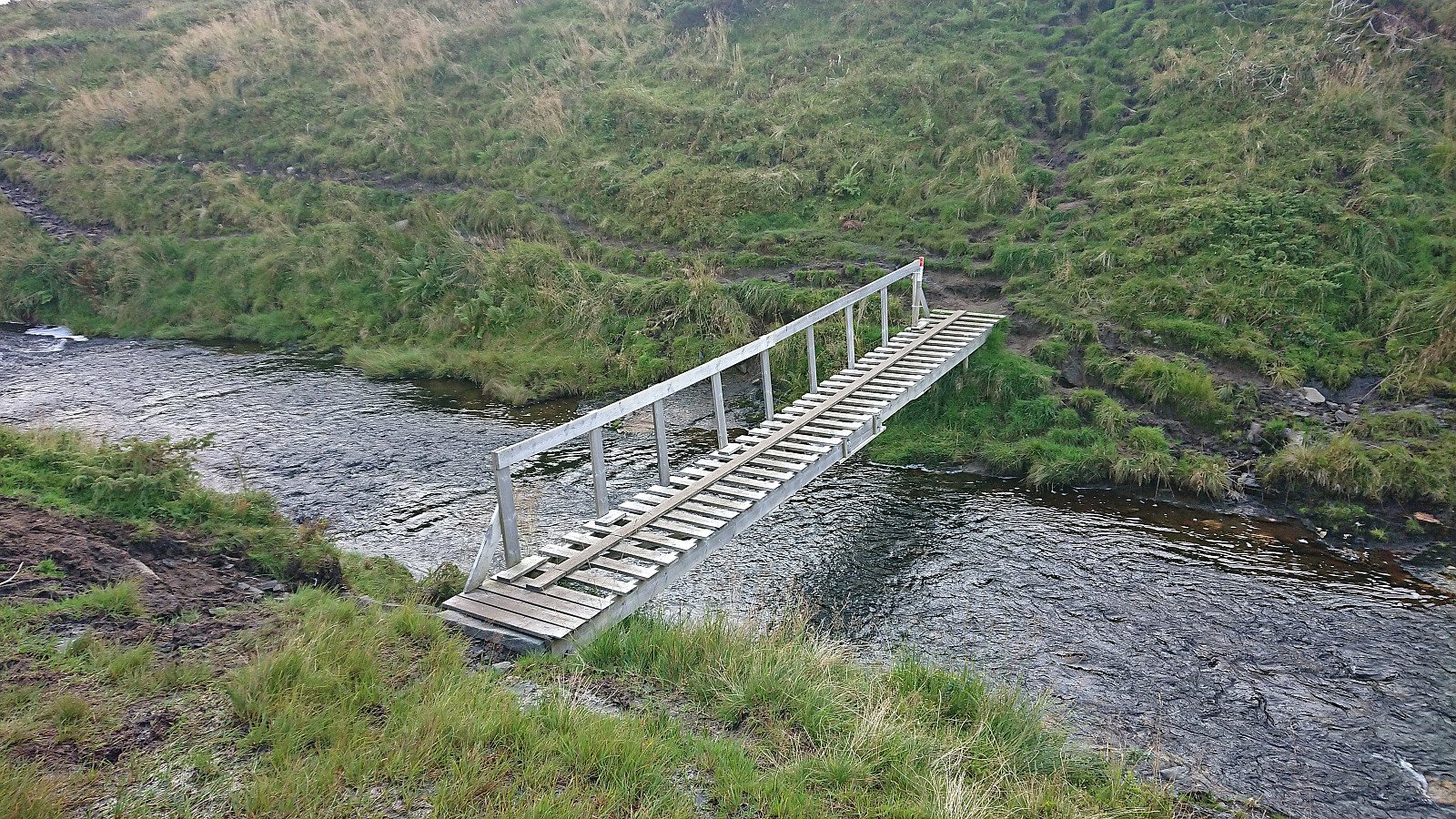
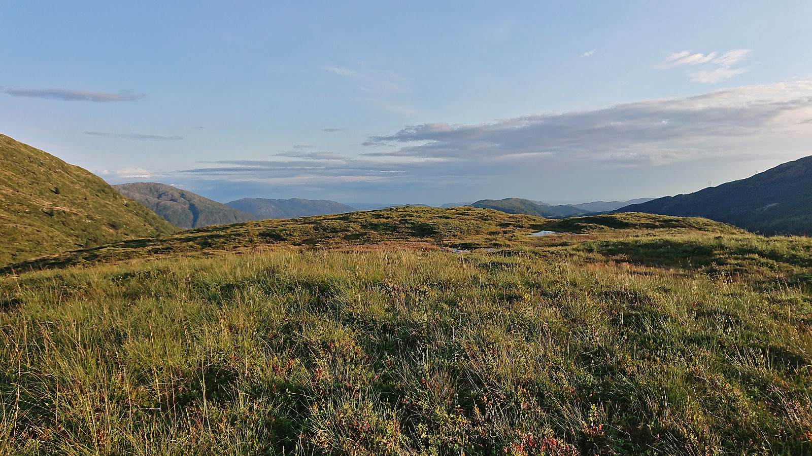
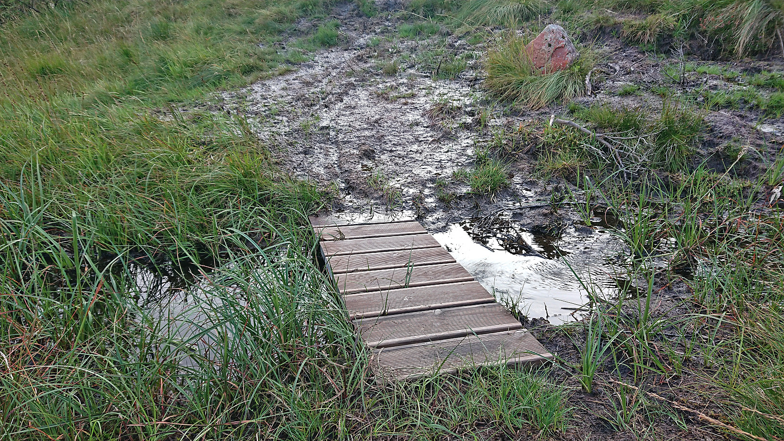
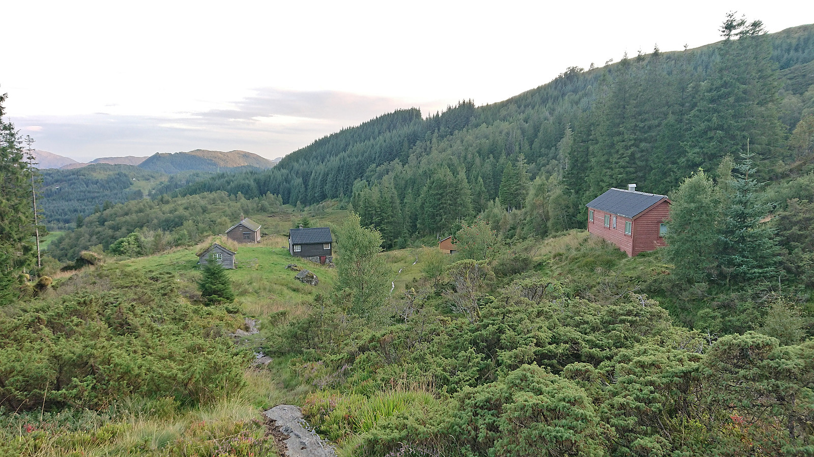
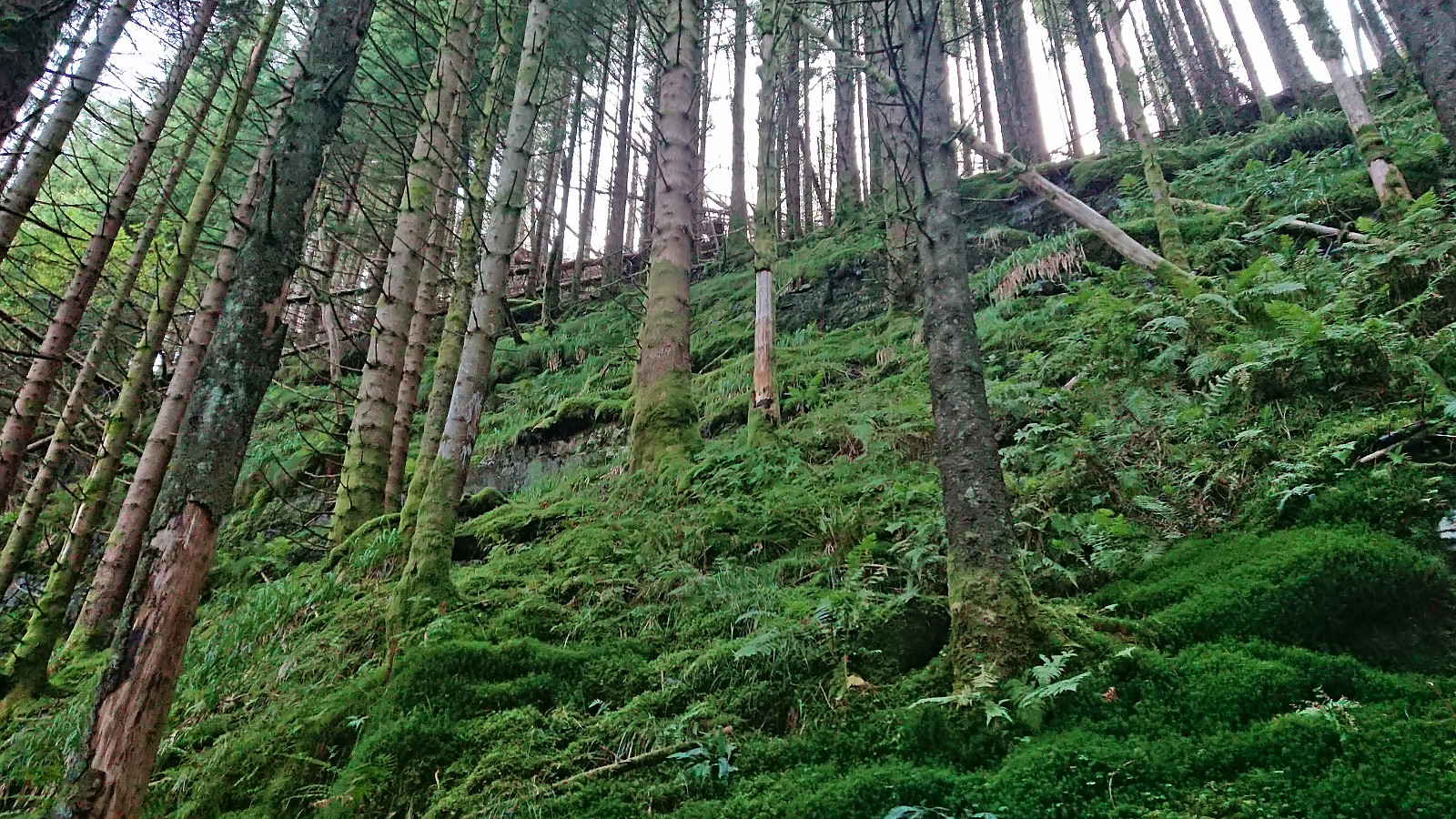
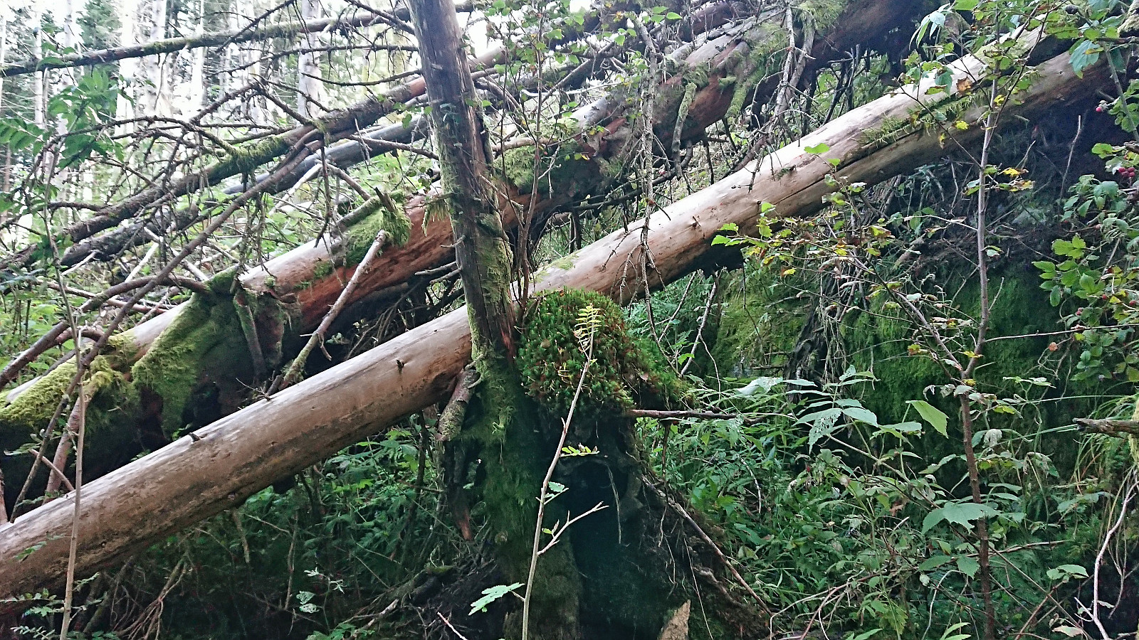
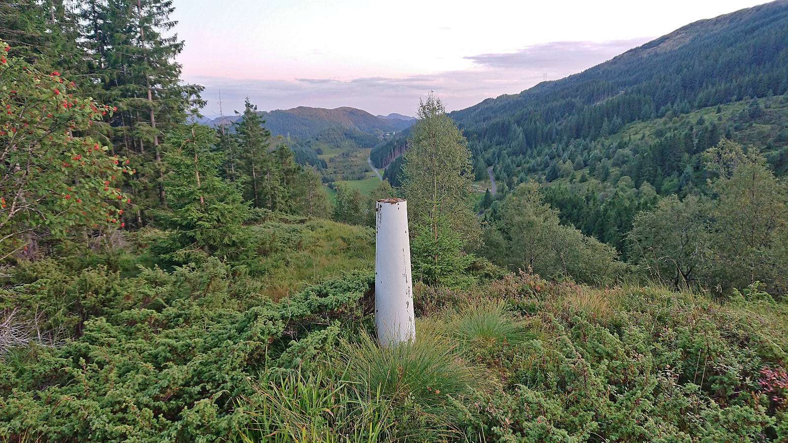
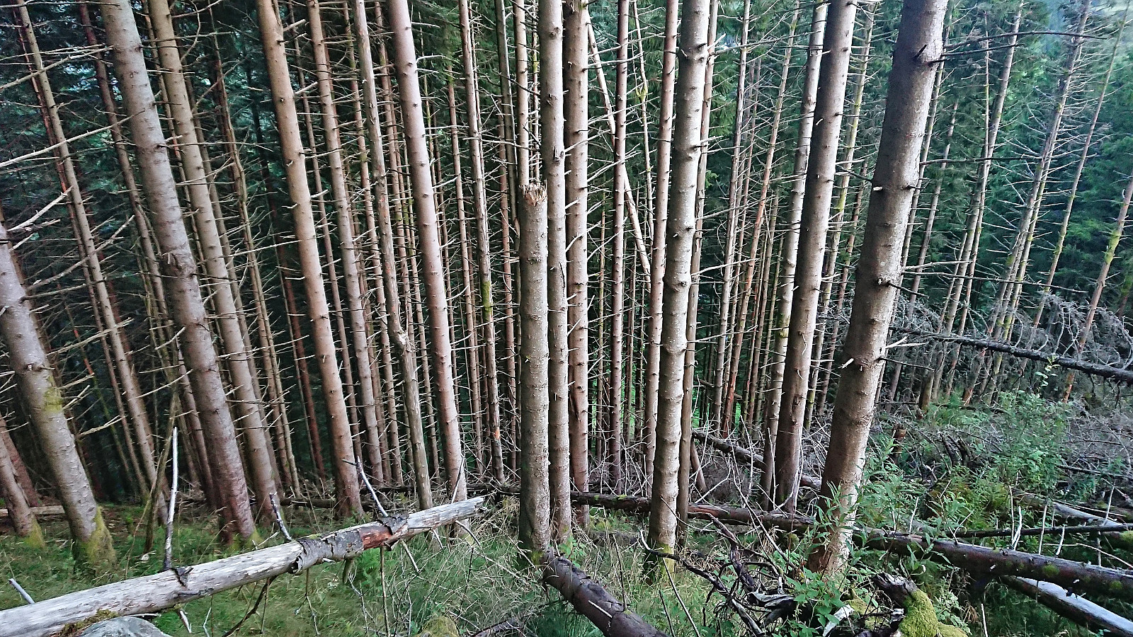
Left work early for a hike with two colleagues following the so-called Dyrdalsrunden, i.e. a hike following the ridges around Dyrdalsvatnet. Excellent views along the way but the trails were overall not of the best quality and rather muddy. On the way back to the car I made a small detour on my own to Bontveit søyle. This included a steep ascent from the east with lots of fallen trees to crawl over/under as a I got close to the trig marker and an equally steep descent south along the ridge. So while the main hike can be highly recommended, a visit of Bontveit søyle is clearly more of an acquired taste.
| Starttidspunkt | 30.08.2023 14:12 (UTC+01:00 ST) |
| Sluttidspunkt | 30.08.2023 20:43 (UTC+01:00 ST) |
| Totaltid | 6t 30min |
| Bevegelsestid | 5t 15min |
| Pausetid | 1t 14min |
| Snittfart totalt | 2,2km/t |
| Snittfart bevegelsestid | 2,7km/t |
| Distanse | 14,3km |
| Høydemeter | 898m |


Kommentarer