
Hamlagrøvatnet to Norheimsund (18.08.2023)

Skrevet av hbar (Harald Barsnes)

| Startsted | Hamlagrøosen (596moh) |
|---|---|
| Sluttsted | Øvsthus/Steinsdalsfossen (8moh) |
| Turtype | Fjelltur |
| Turlengde | 8t 37min |
| Distanse | 29,6km |
| Høydemeter | 1429m |
| GPS |
|
| Bestigninger | Gråtindane (1103moh) | 18.08.2023 |
|---|---|---|
| Nuten (996moh) | 18.08.2023 | |
| Ådni (1101moh) | 18.08.2023 | |
| Ådni (1069moh) | 18.08.2023 | |
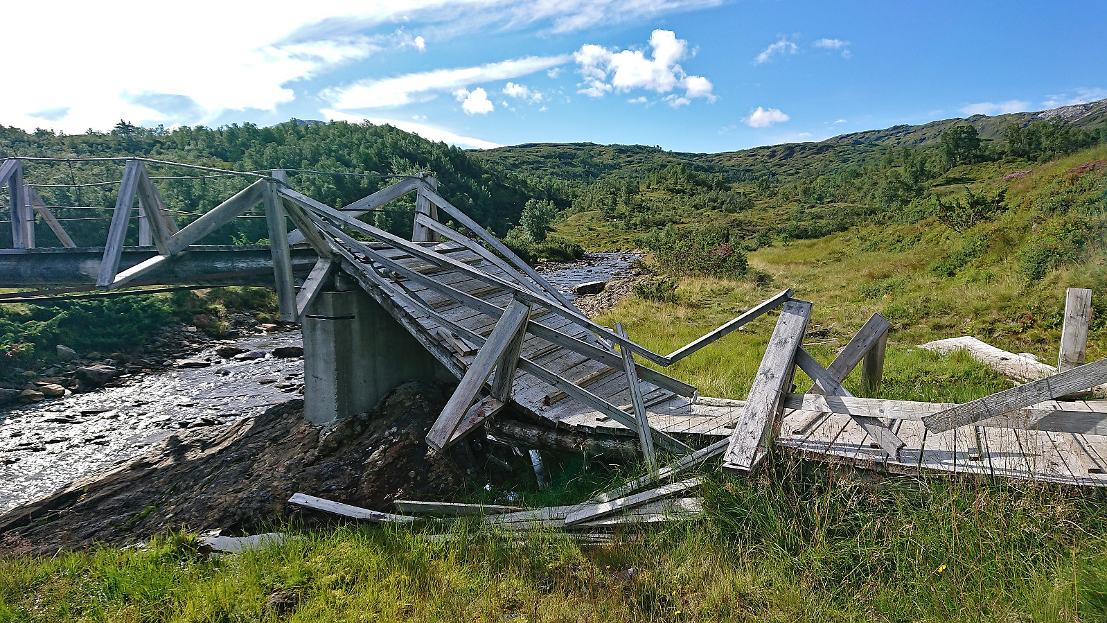
| Andre besøkte PBE'er | Fugladalen bro (770moh) | 18.08.2023 |
| Hamlagrøosen - Vending turisthytte (600moh) | 18.08.2023 | |
| Kjerringtjørni bro (595moh) | 18.08.2023 | |
| Krok (734moh) | 18.08.2023 | |
| Steinsdalsfossen (45moh) | 18.08.2023 | |
| Stølselvi bro (595moh) | 18.08.2023 | |
| Vending (823moh) | 18.08.2023 |
Hamlagrøvatnet to Norheimsund
Given the excellent weather forecast I took the Friday off to try one of my more ambitious hiking plans: walking from Hamlagrøvatnet in Bergsdalen to Steinsdalsfossen in Norheimsund. The main goal was to visit the three remaining summits I had left along this route.
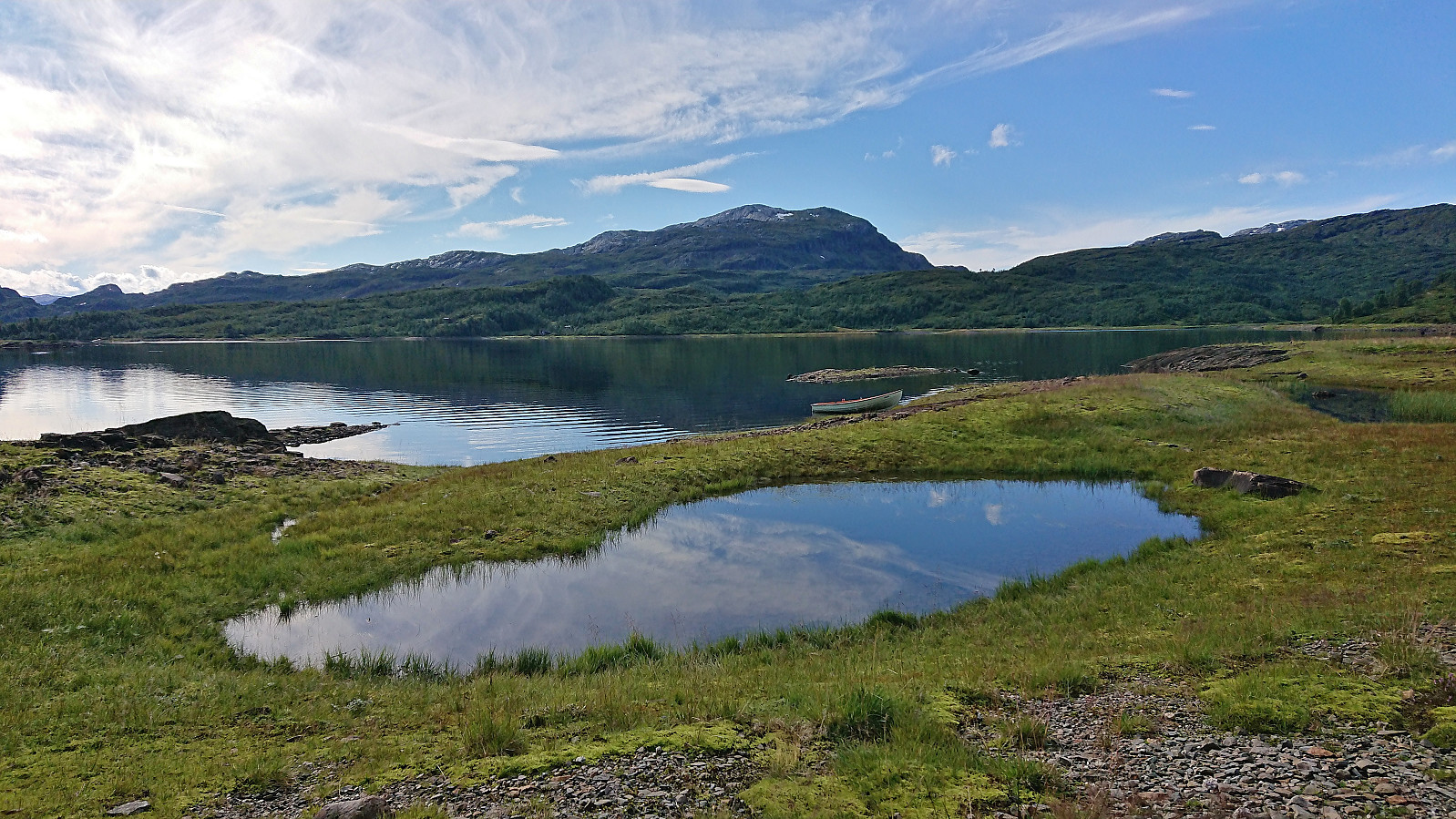
I started by taking the train to Dale and the bus to the western end of Hamlagrøvatnet. Officially the last bus stop was at Rødland/Røydland, but given that the bus driver had plenty of time before the return journey to Dale he was kind enough to drive me all the way to the lake, saving me about half an hour of walking along the road.
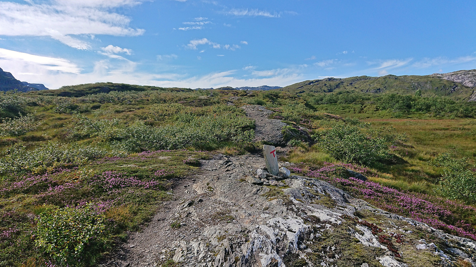
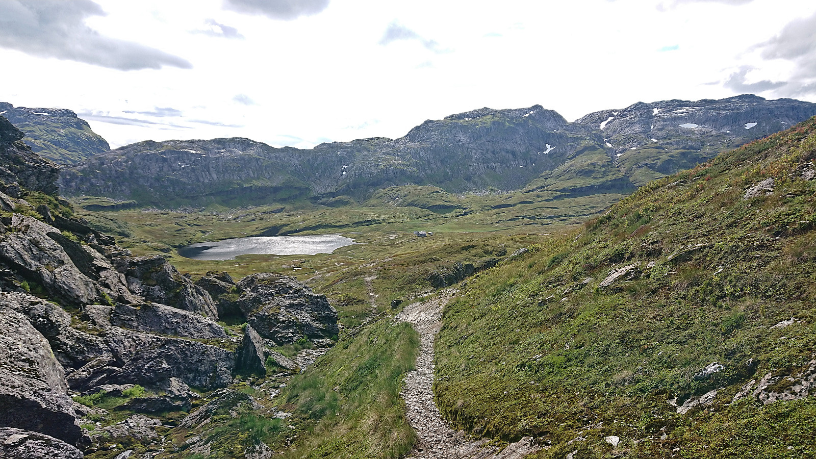
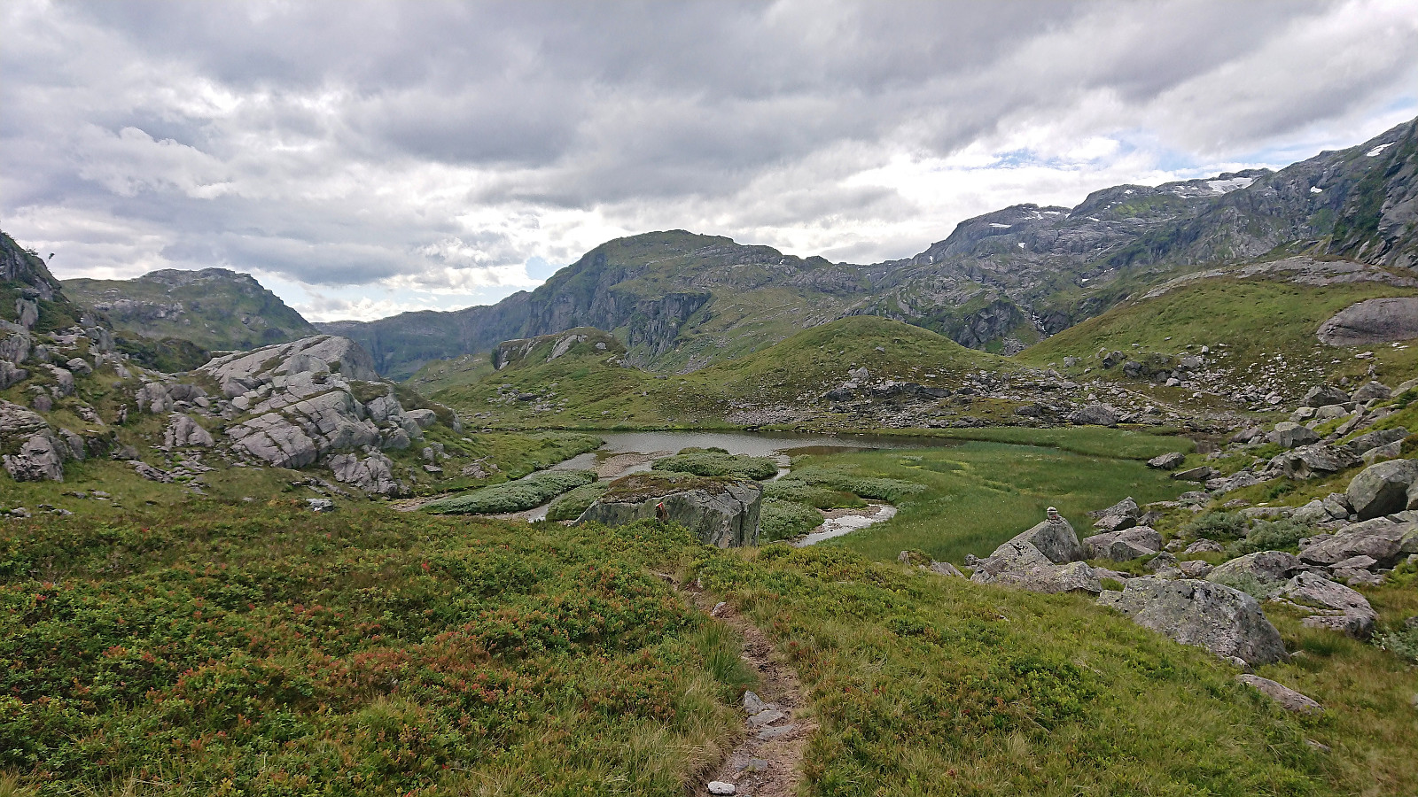
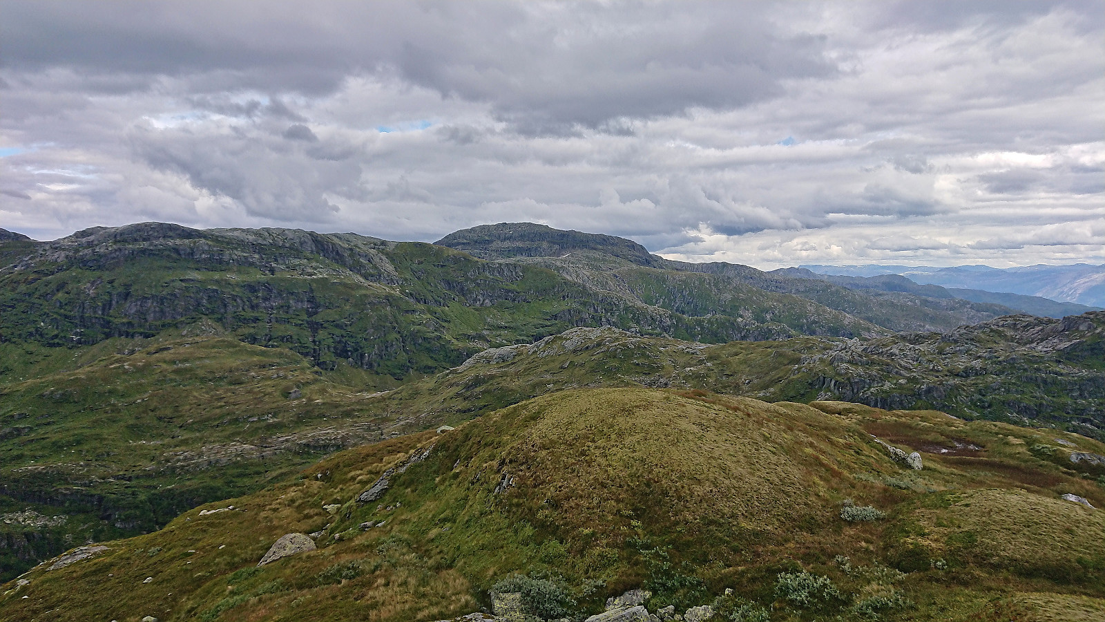
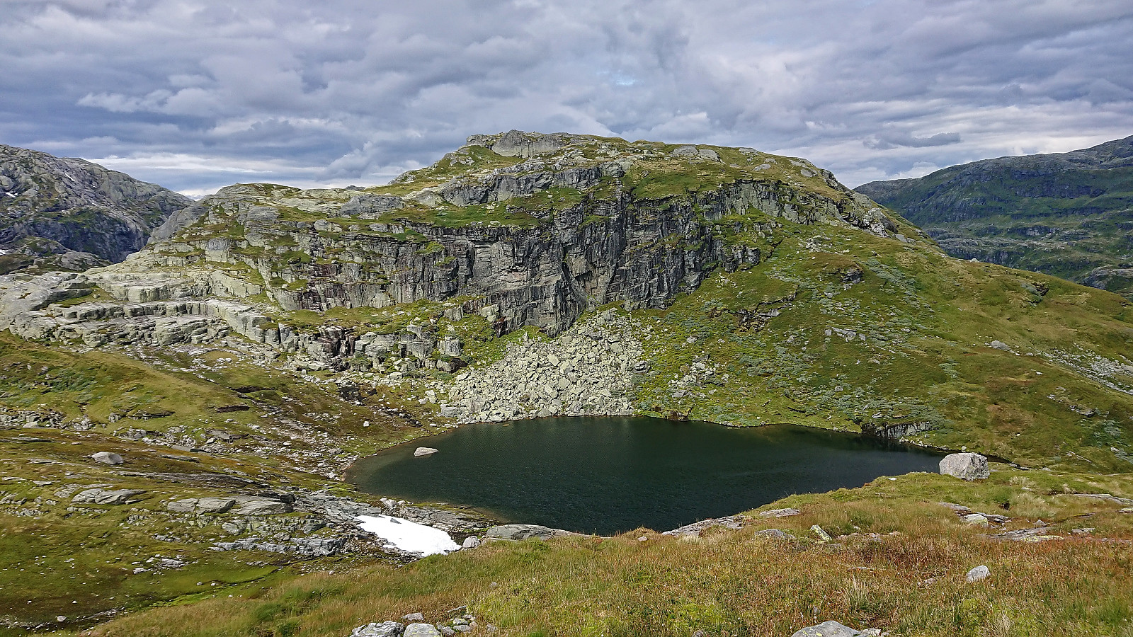
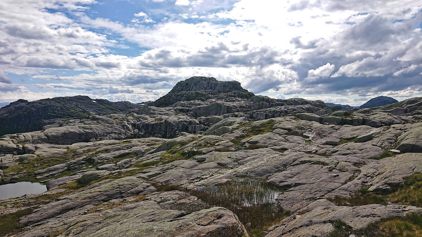
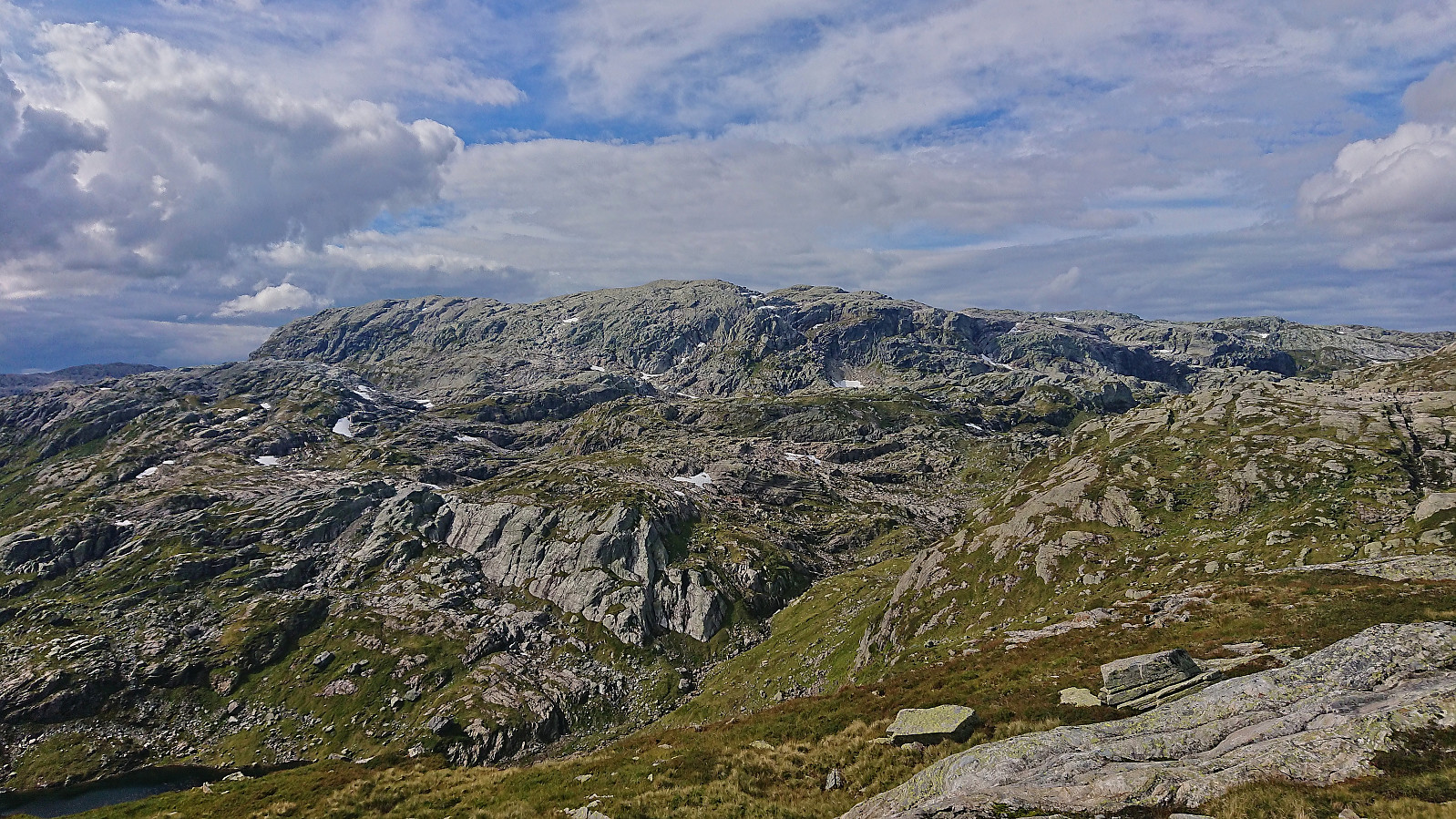
From Hamlagrøosen I basically followed the marked trail to Vending. However, when the trail entered Langagjelet, and was about to ascend the final small hill before descending to the cabin, I turned northwest and instead headed off-trail to the summit of Nuten. This involved slightly more up and down than expected but was otherwise straightforward and the summit was reached without any issues.
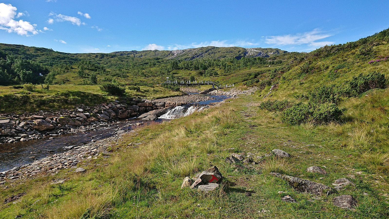
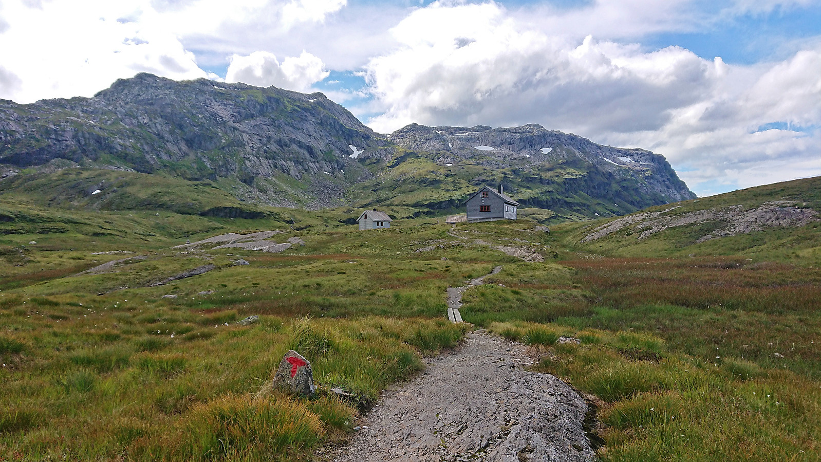
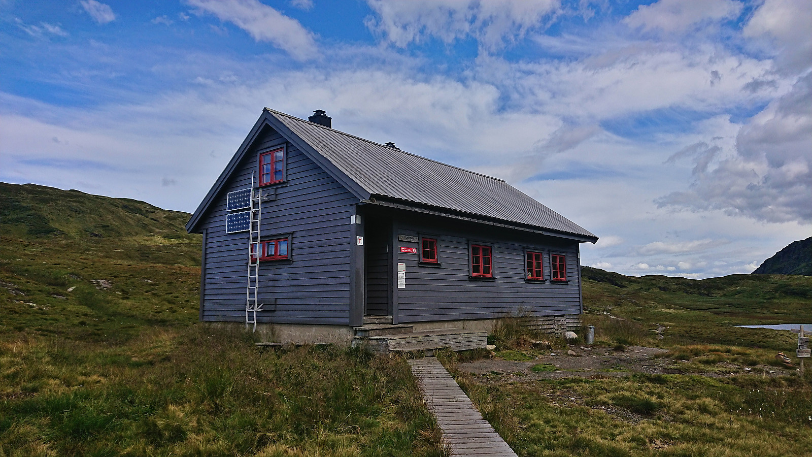
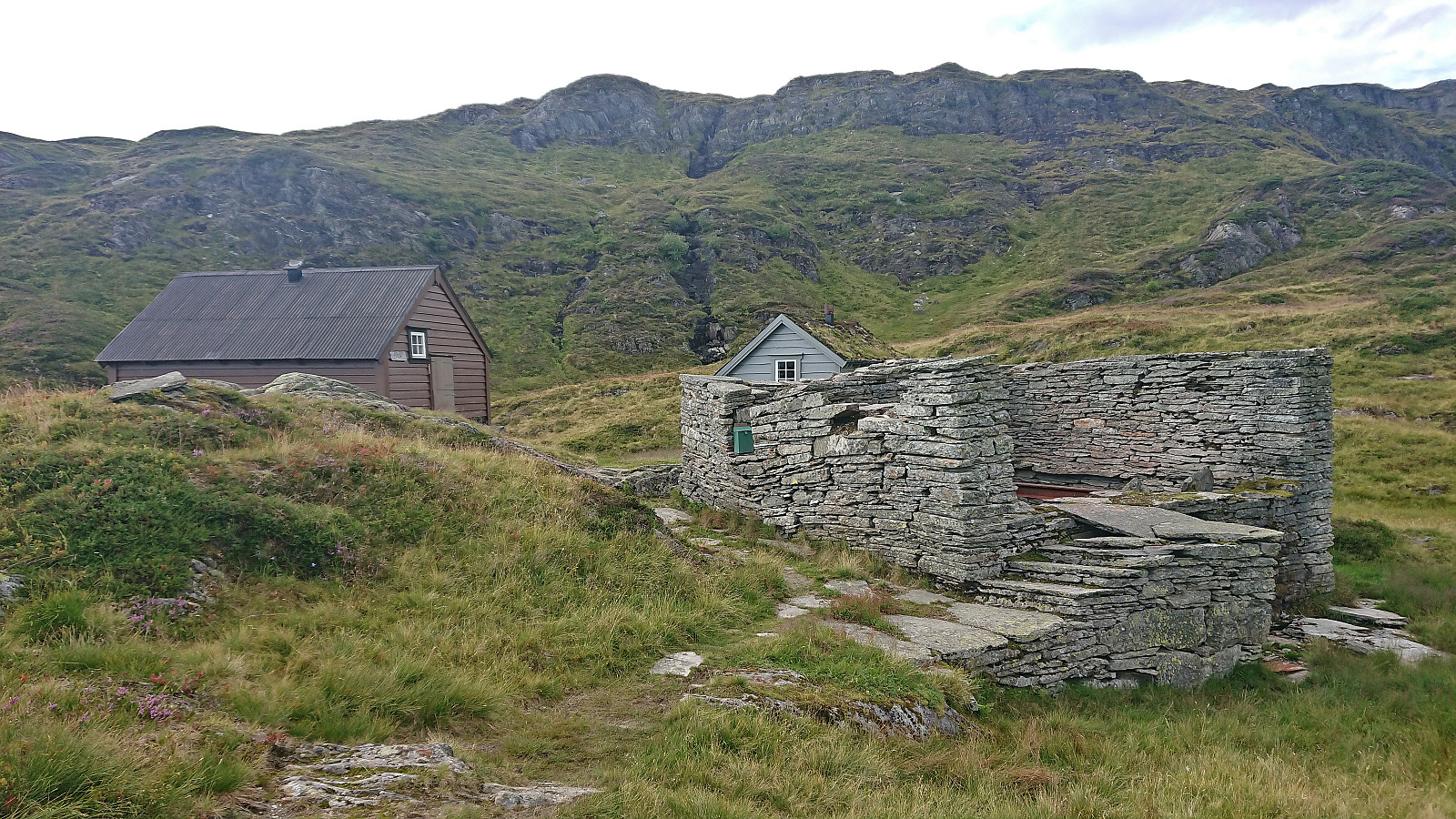
After a short break at the summit I descended along more or less the same route and continued along the marked trail to Vending. Shortly after spotting the cabin I however realized that I was no longer on the marked trail, but I did reconnect with the trail just before reaching the cabin.
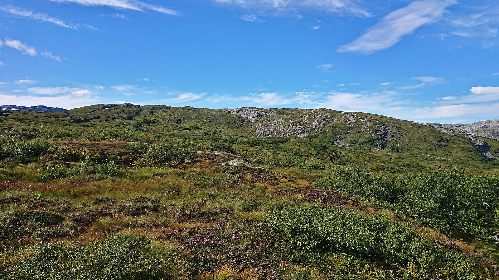
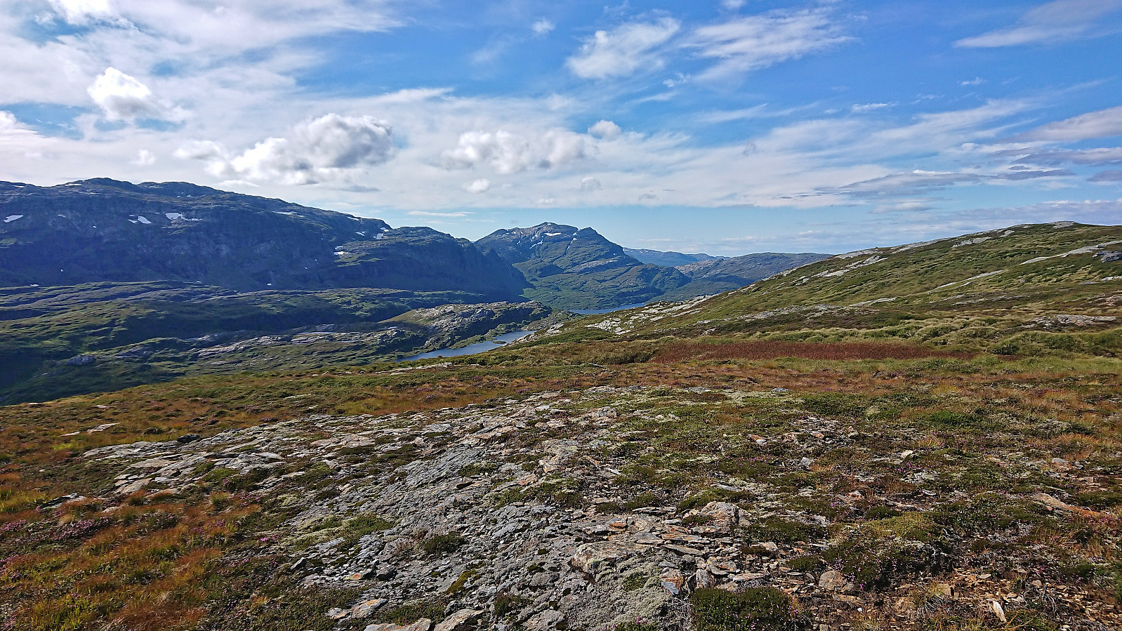
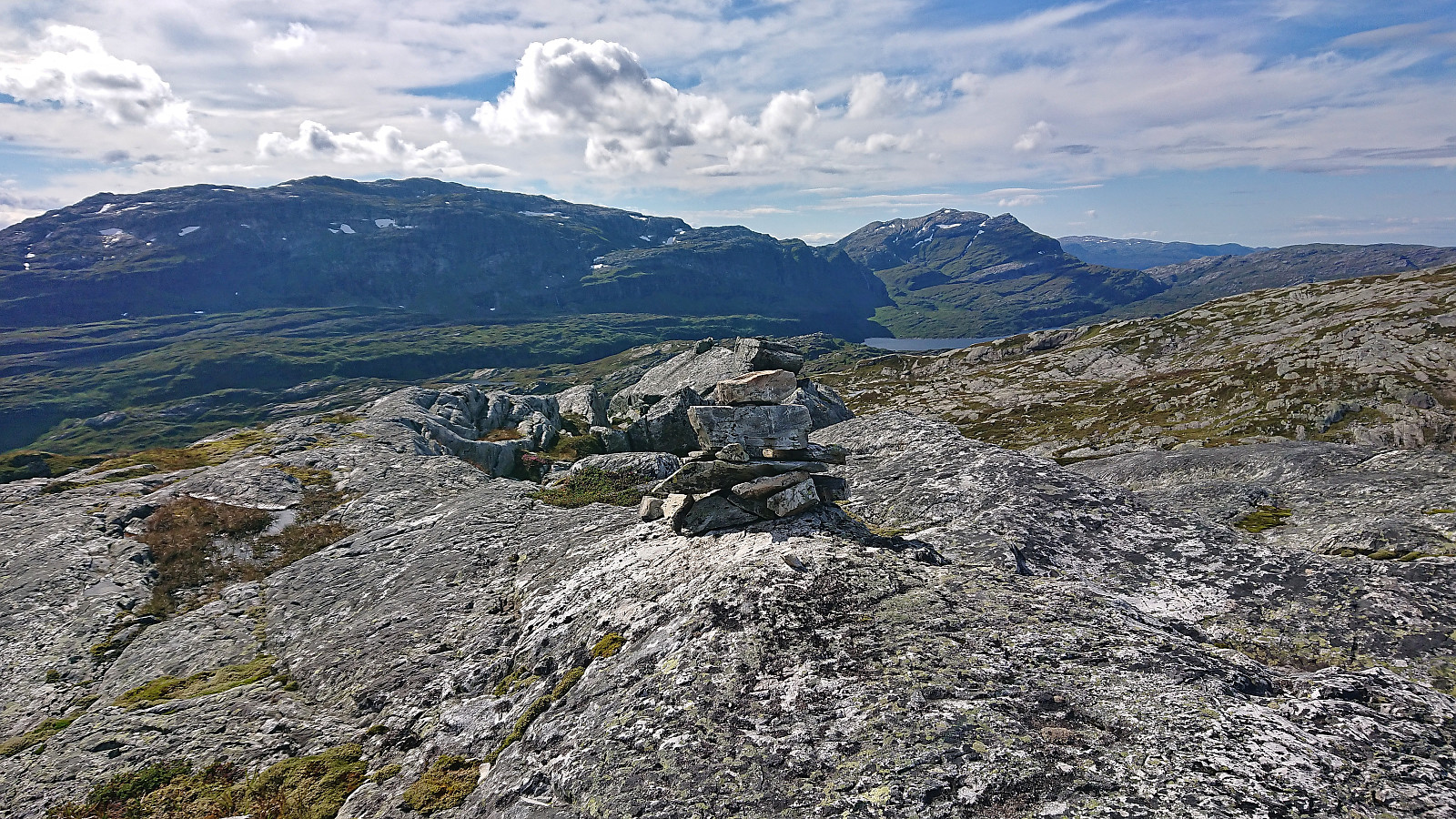
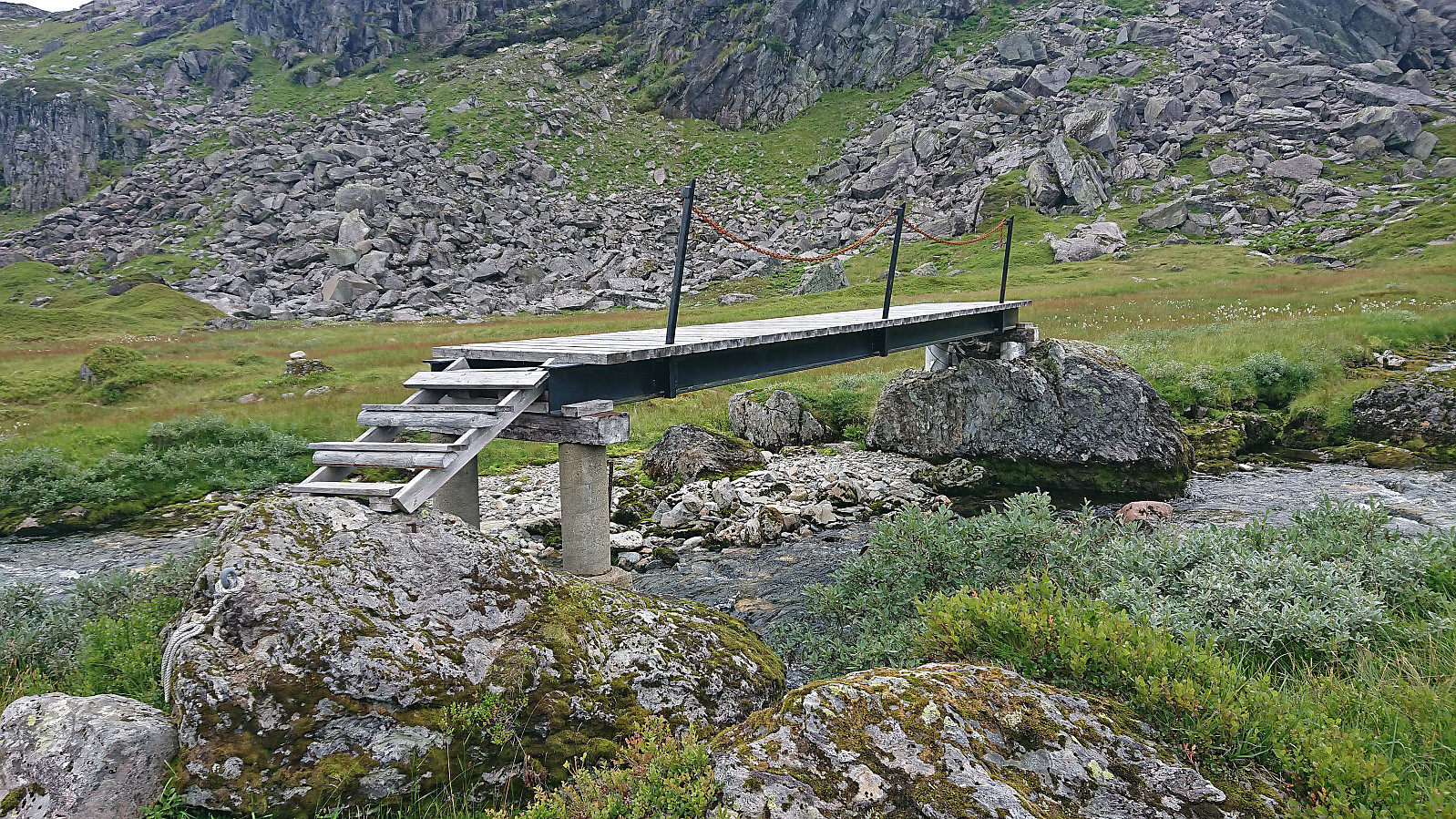
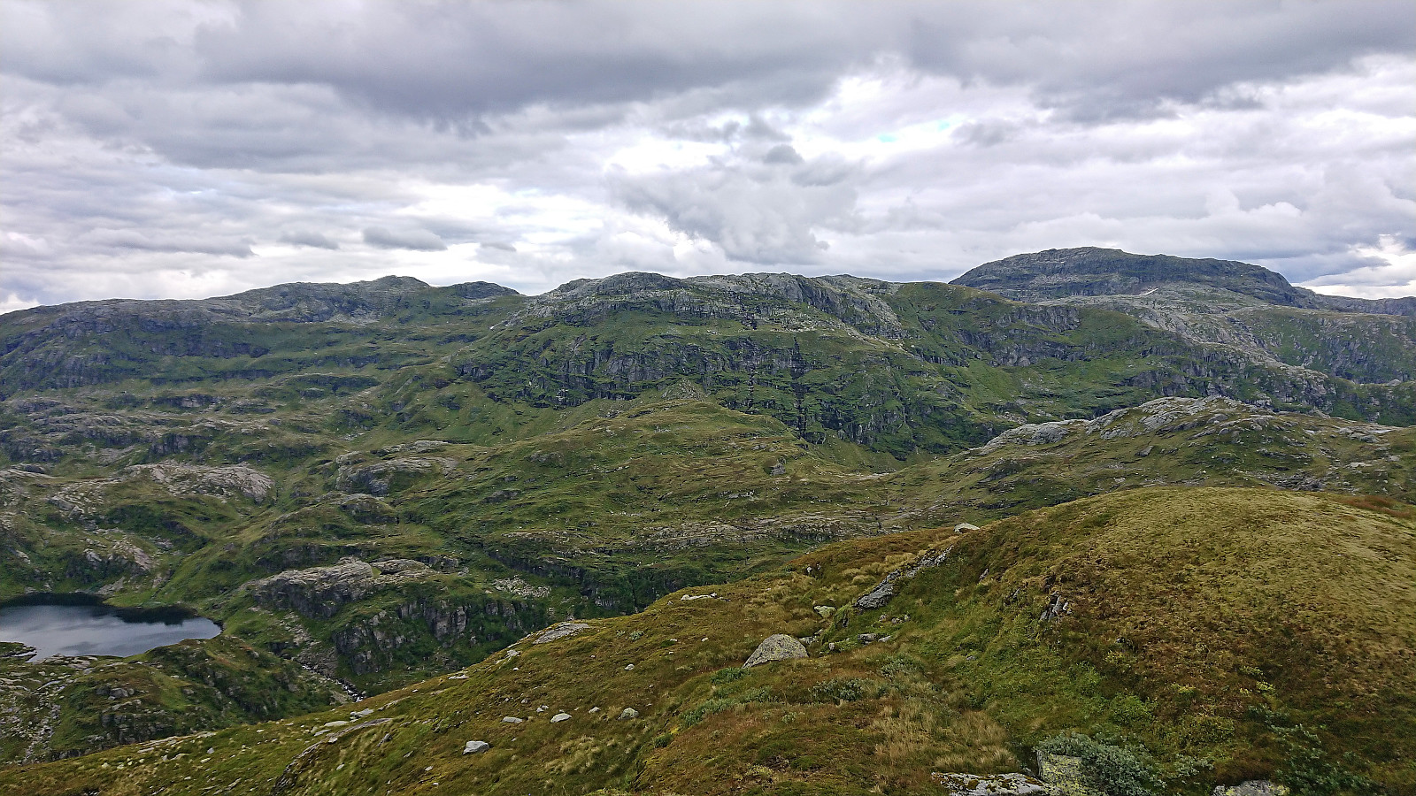
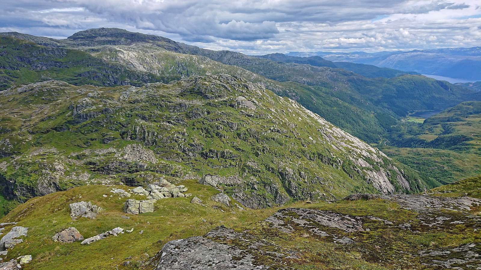
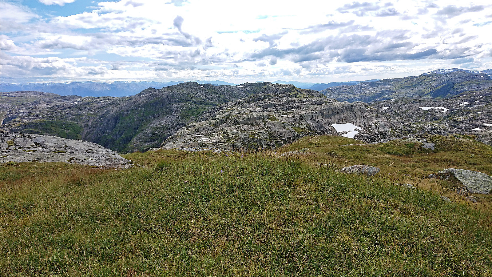
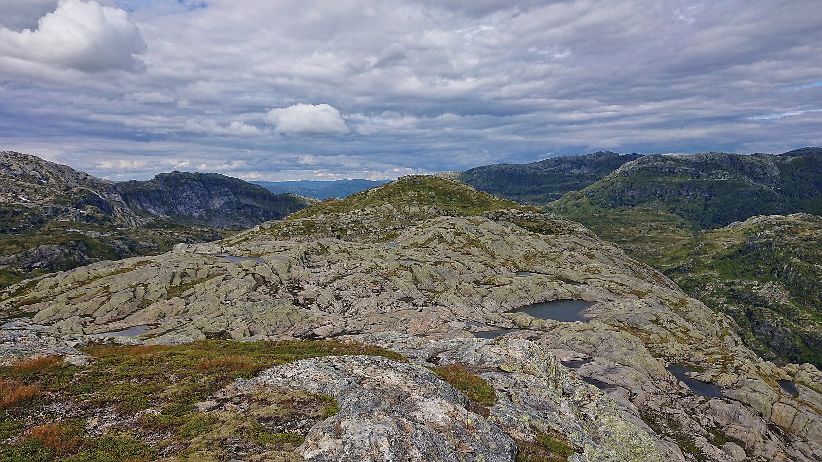
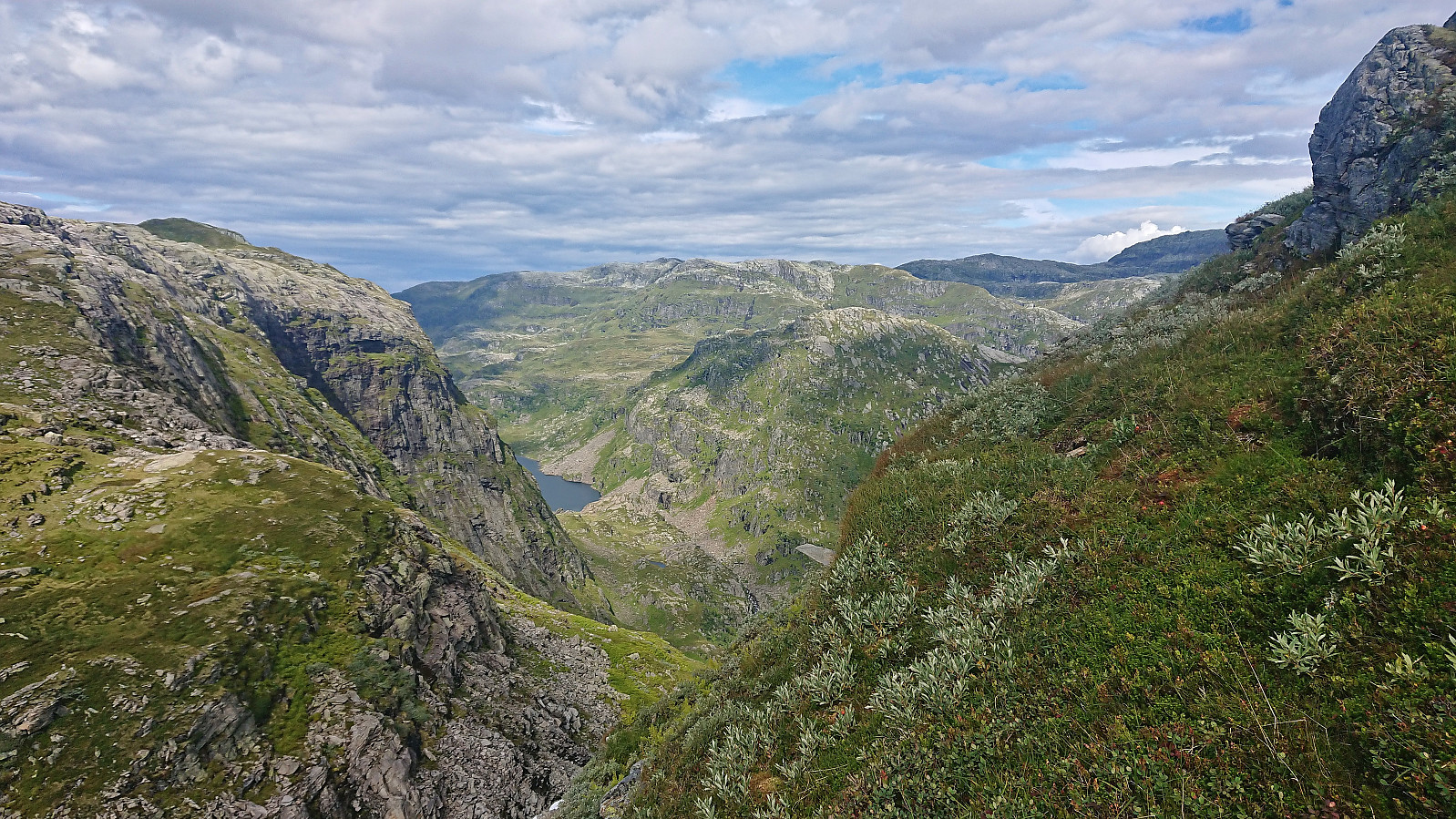
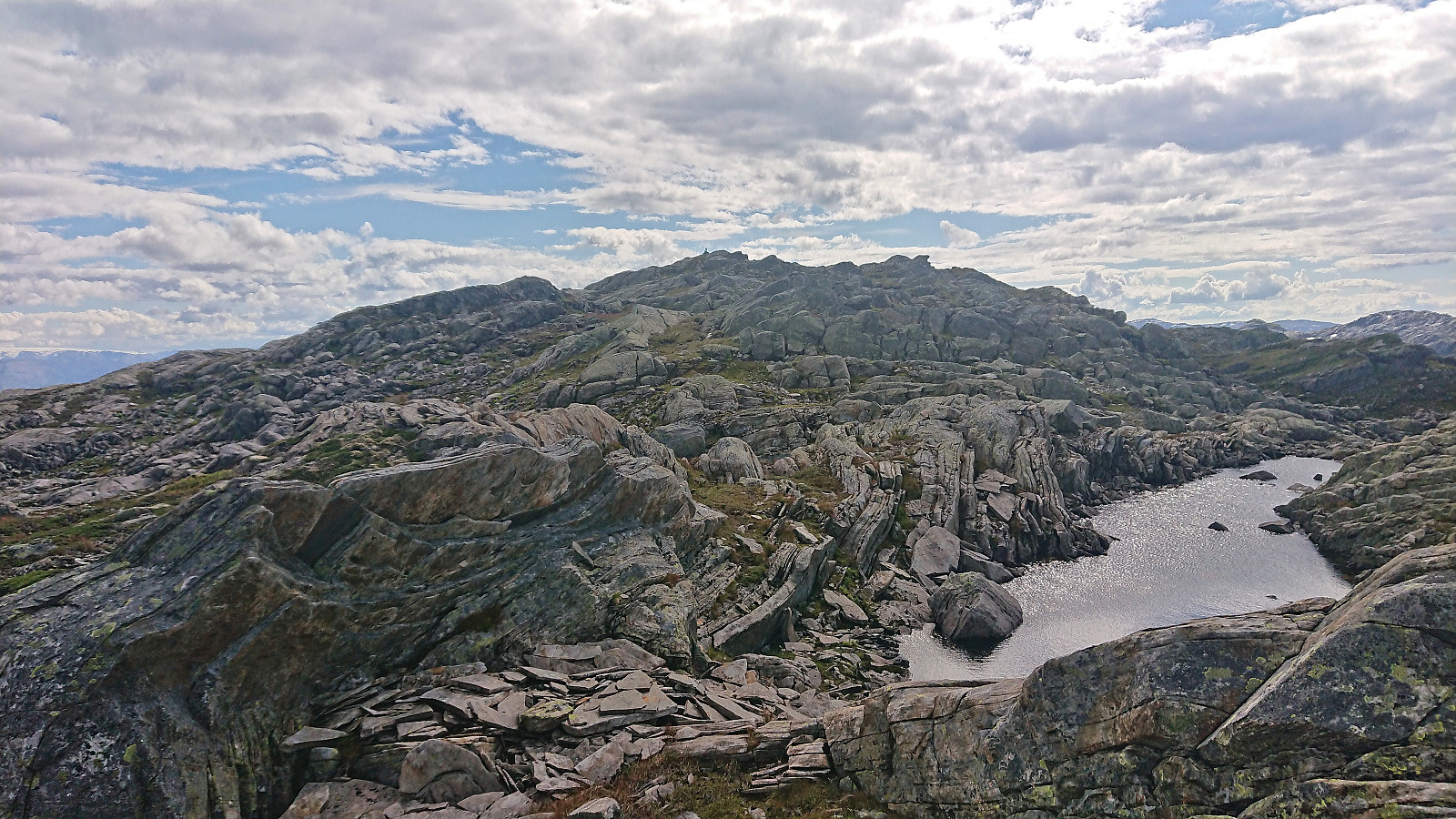
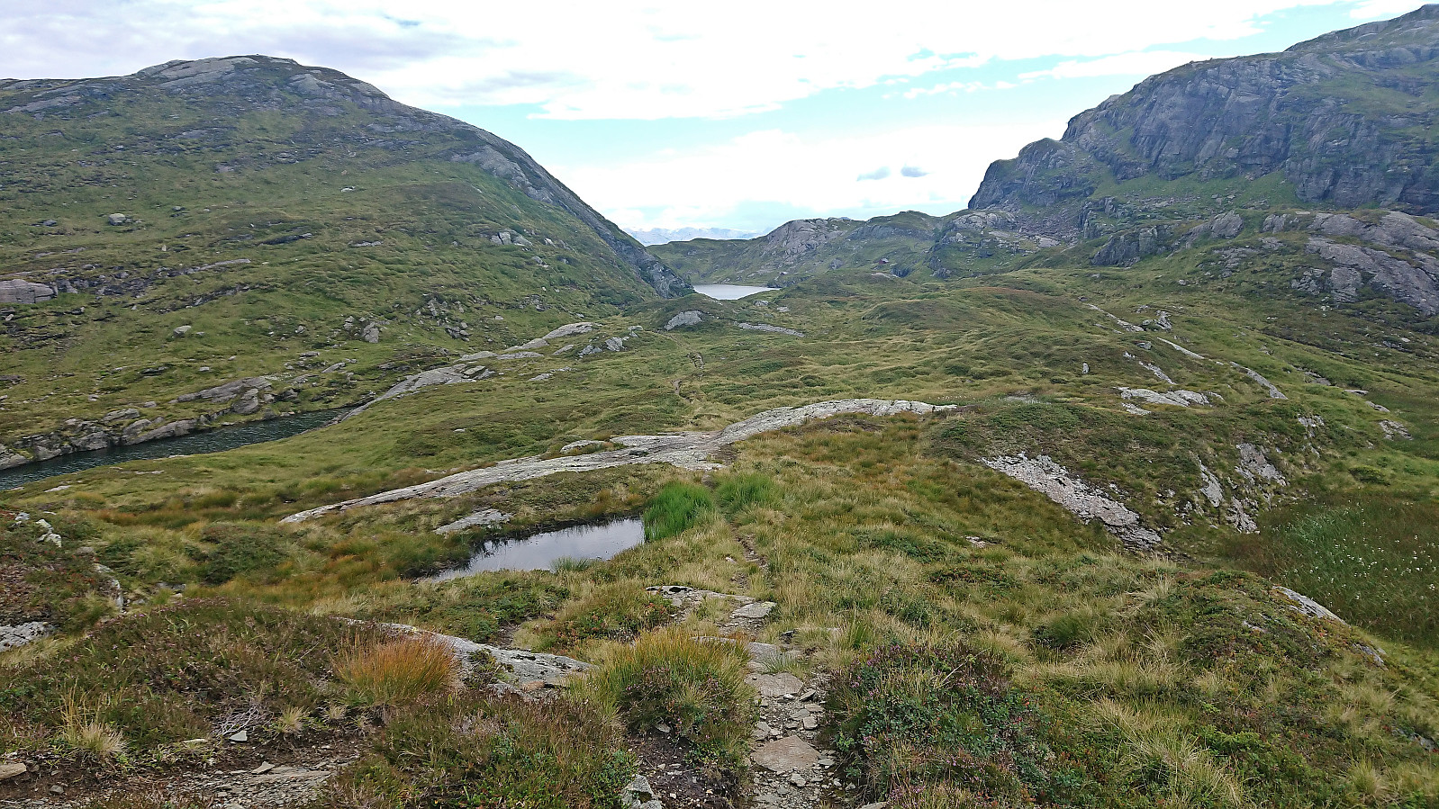
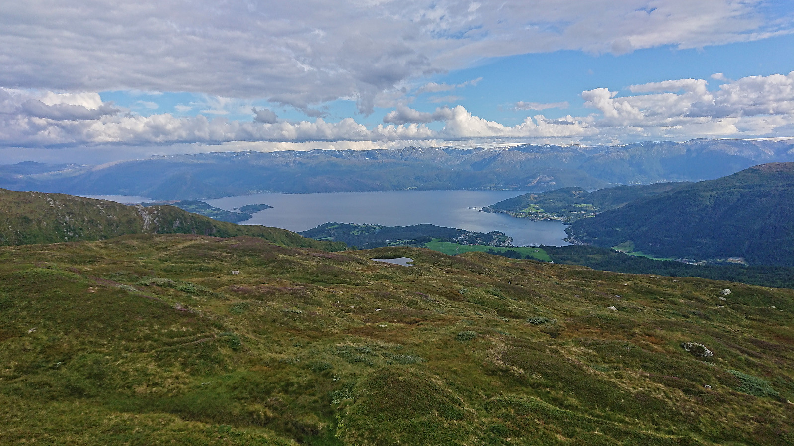
From Vending I followed the trail around Vendingstjørn to start my journey south to Norheimsund. After crossing the bridge west of Fugladalsvatnet I again left the marked trail and started my off-trail ascent to Odni/Ådni 1069. This required some easy pathfinding but otherwise did not present any real challenges. The summit provided the first views of the next real target, namely Ådni 1103. It looked like a pretty steep ascent, but should be doable (as I had seen in arntfla (Arnt Flatmo)'s external trip report).
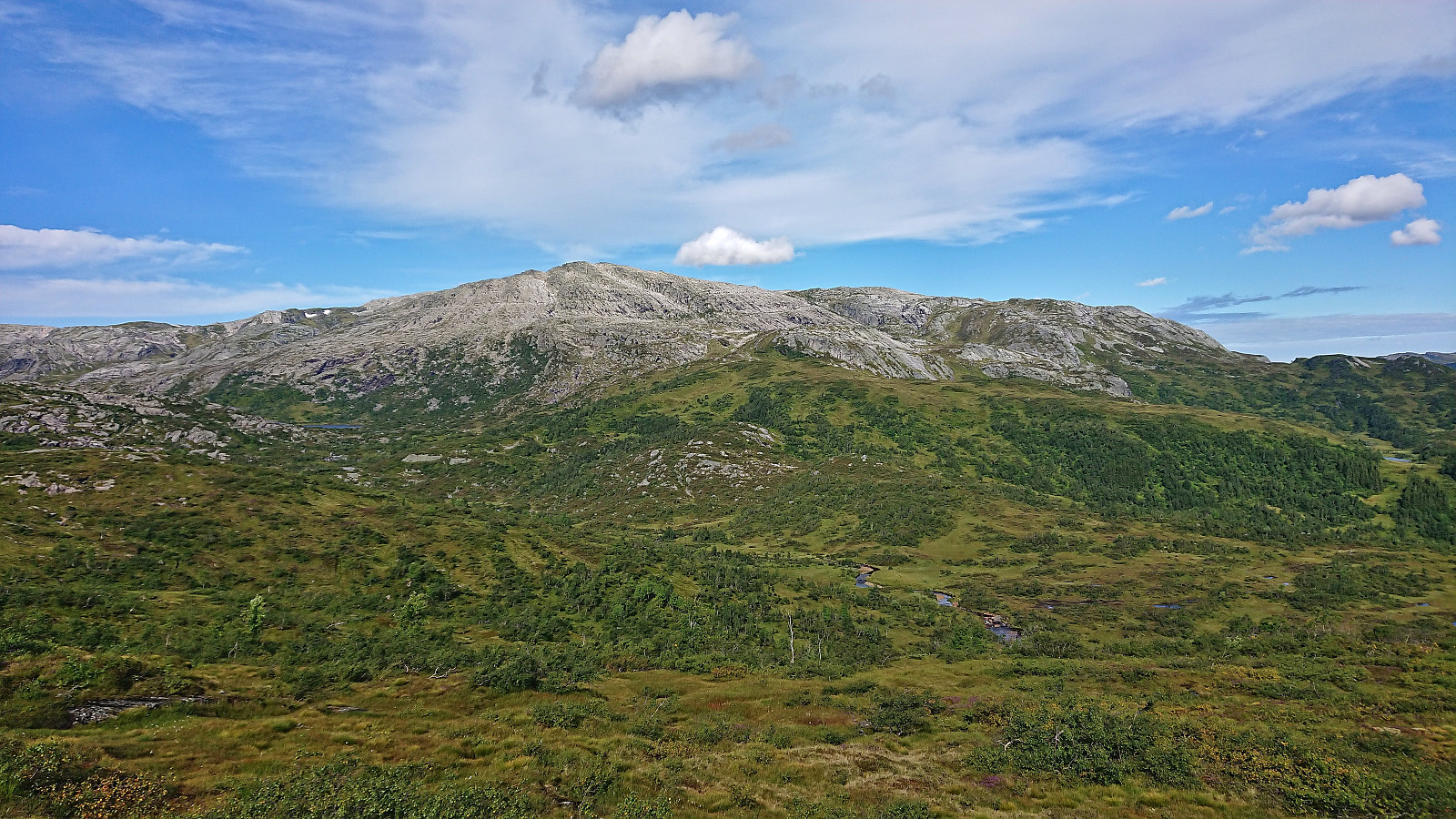
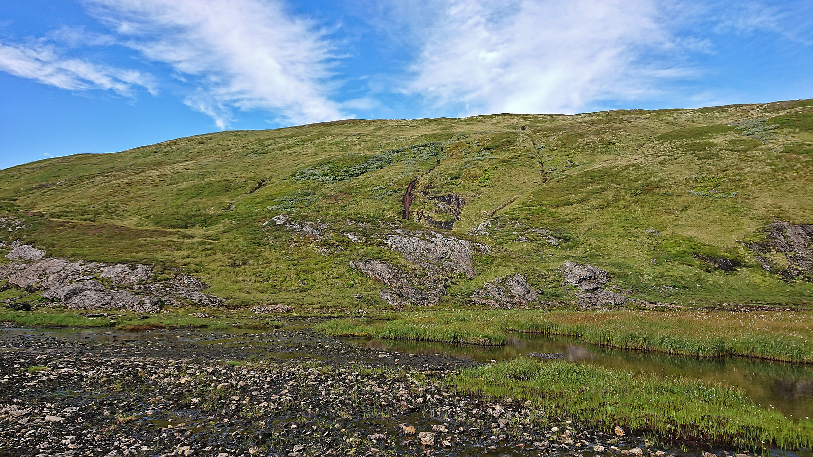
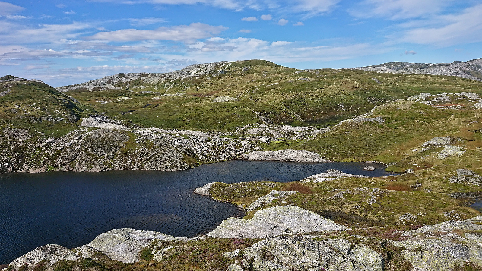
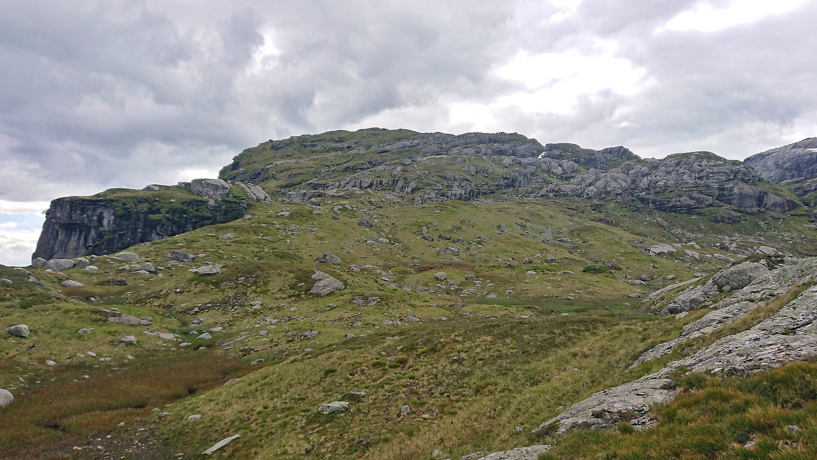
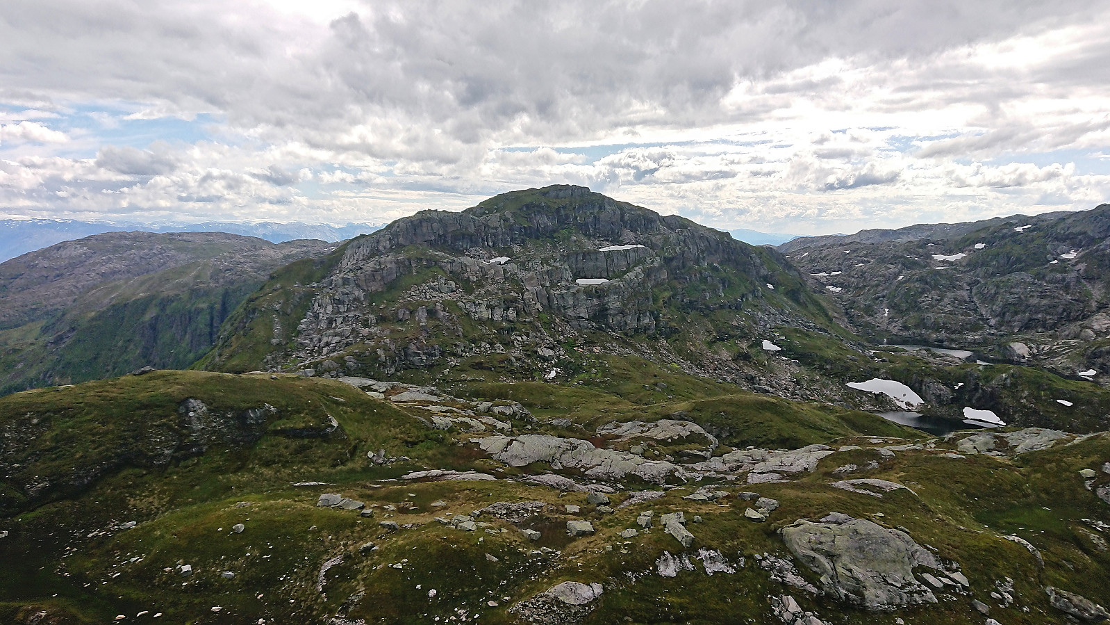
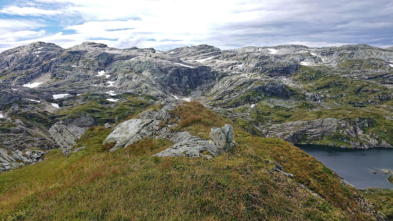
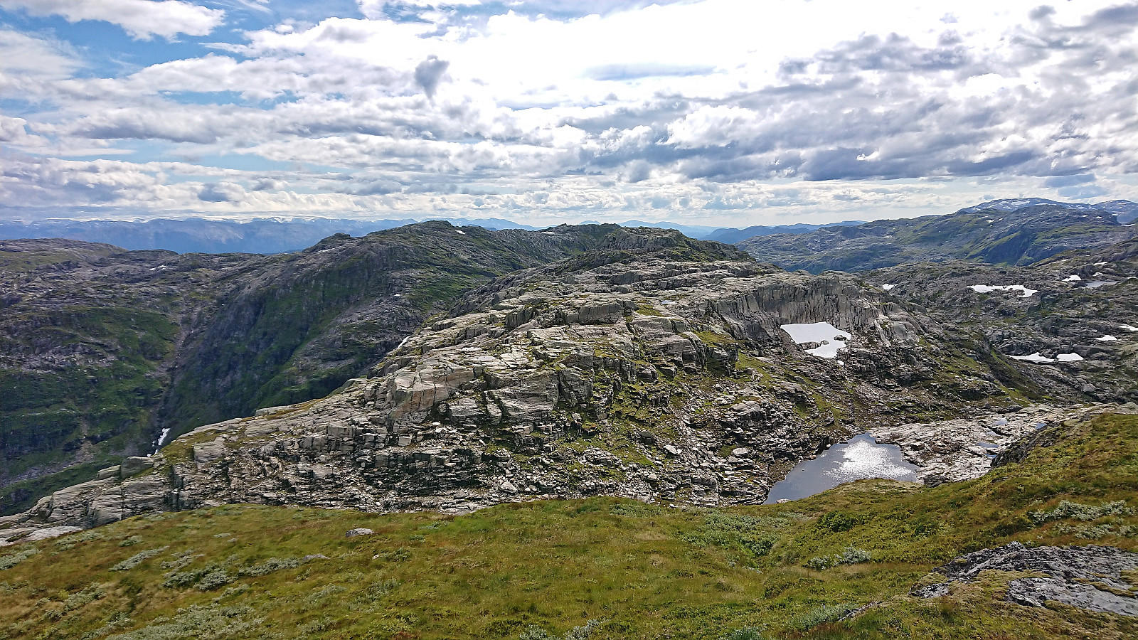
Descending from Odni/Ådni 1069 into the valley north of Ådni 1103 again required some careful pathfinding, but thanks to lots of giant size (or should I say troll size?) stone steps this was overall straightforward. The ascent from the valley to the summit was also easier than expected and at most required a bit of easy scrambling and the summit was reached without any issues.
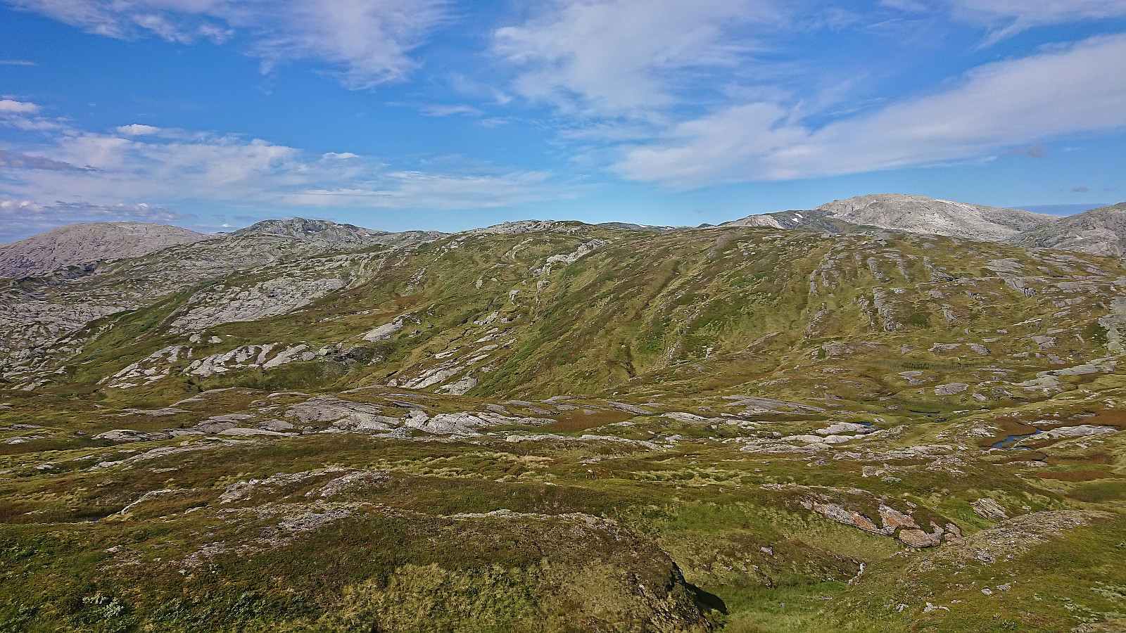
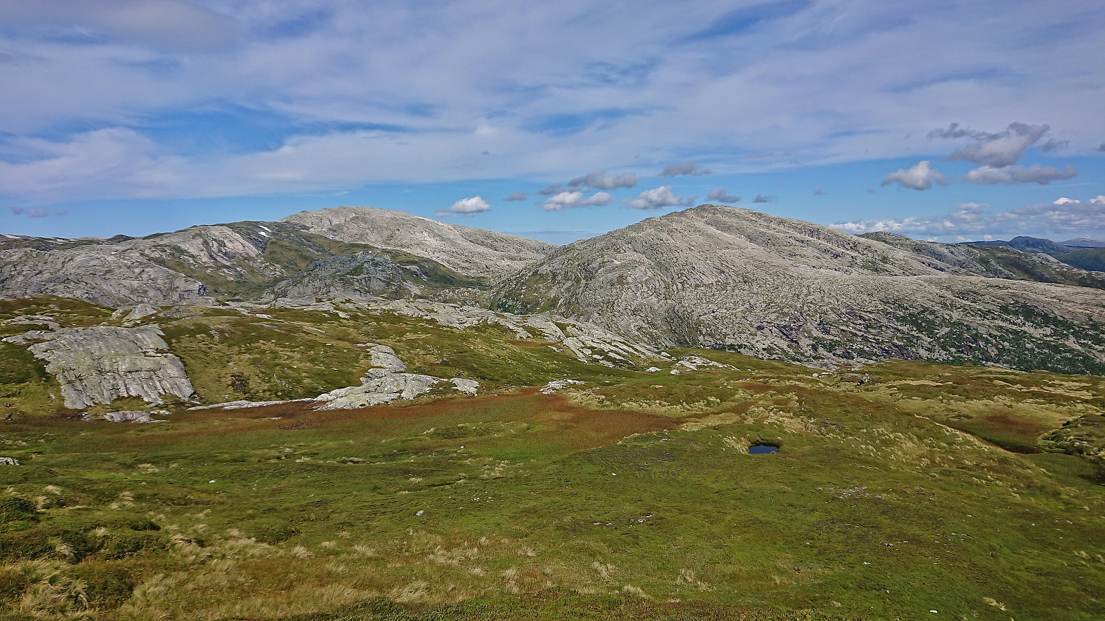
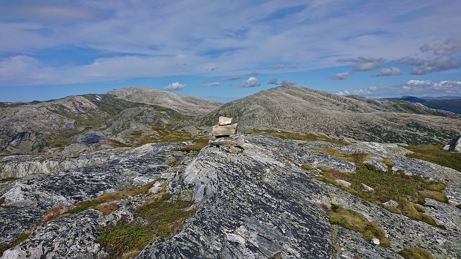
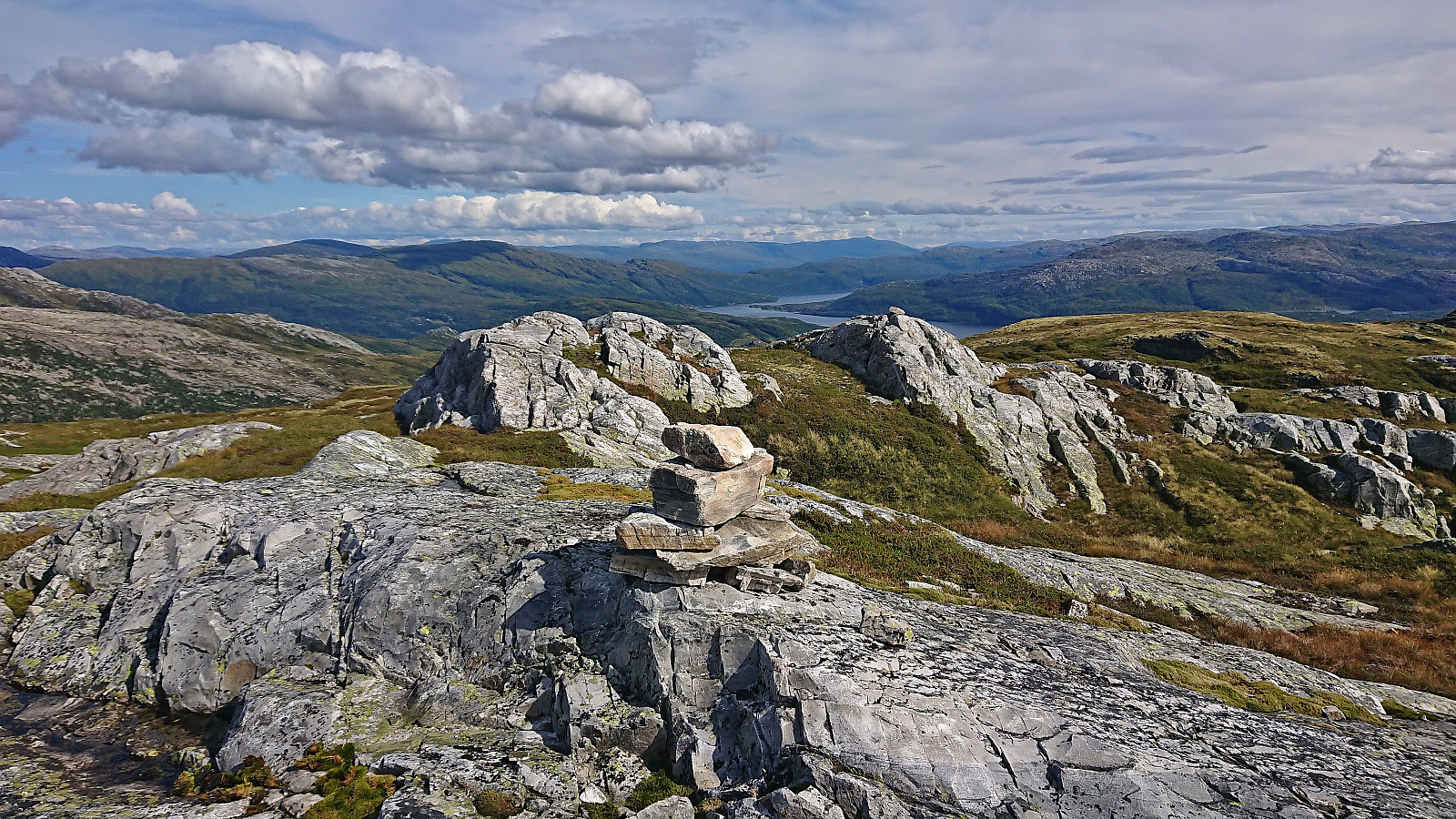
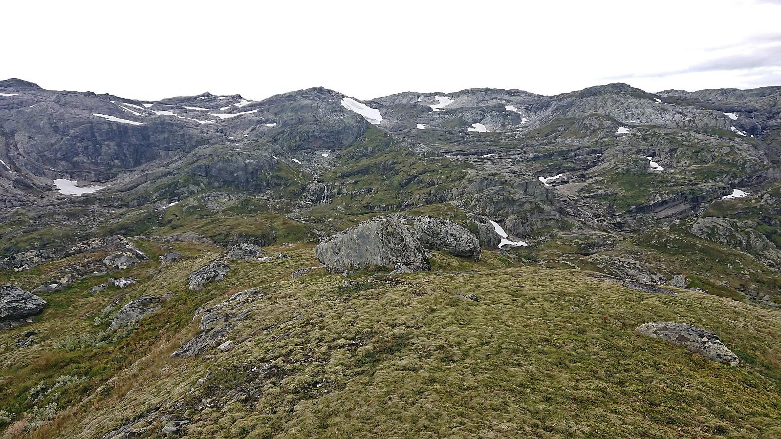
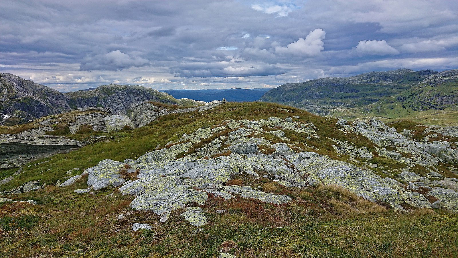
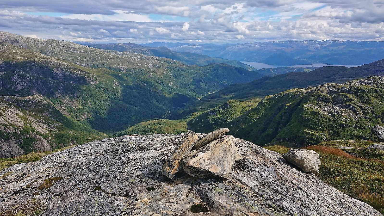
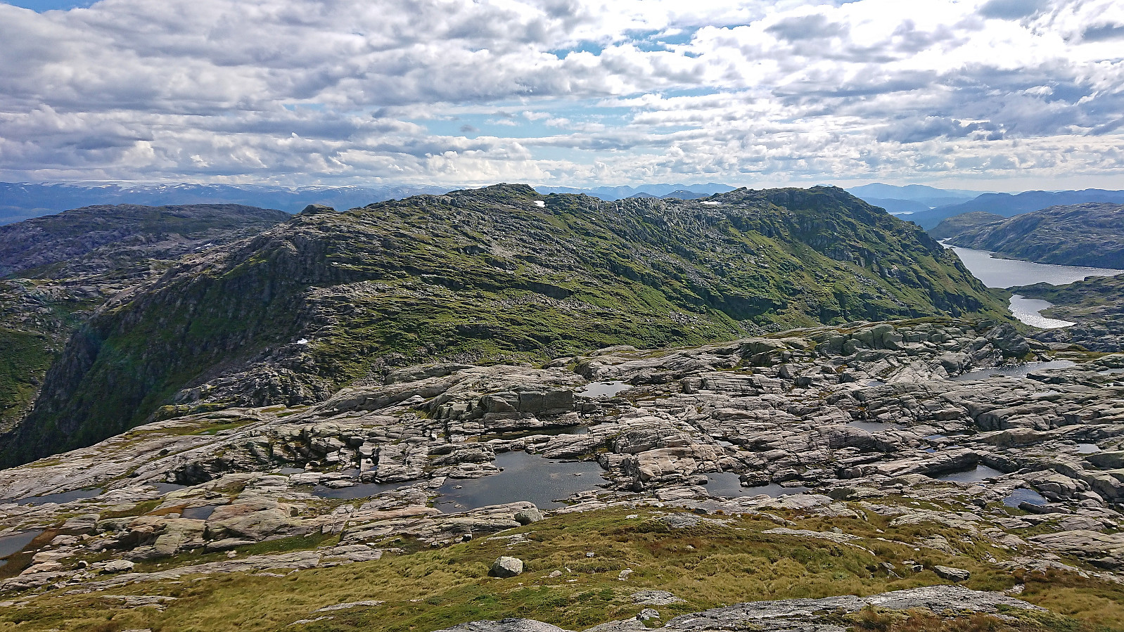
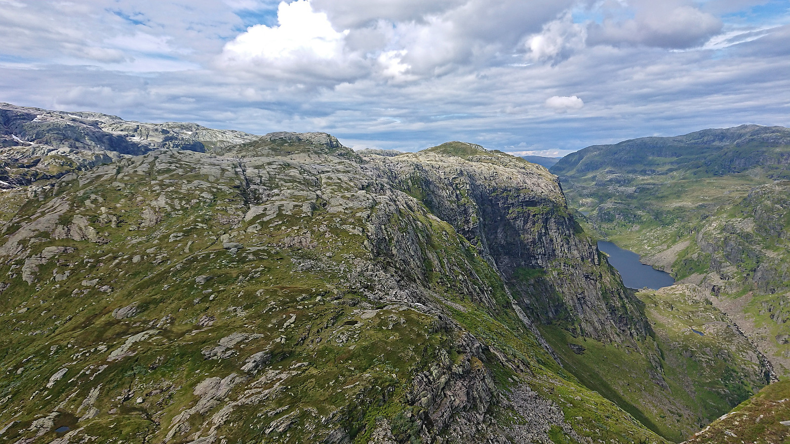
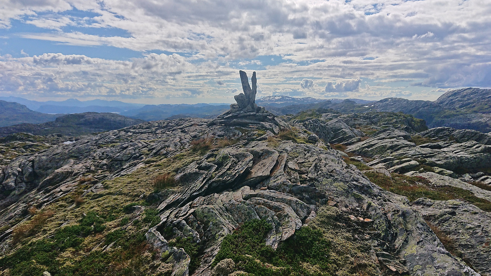
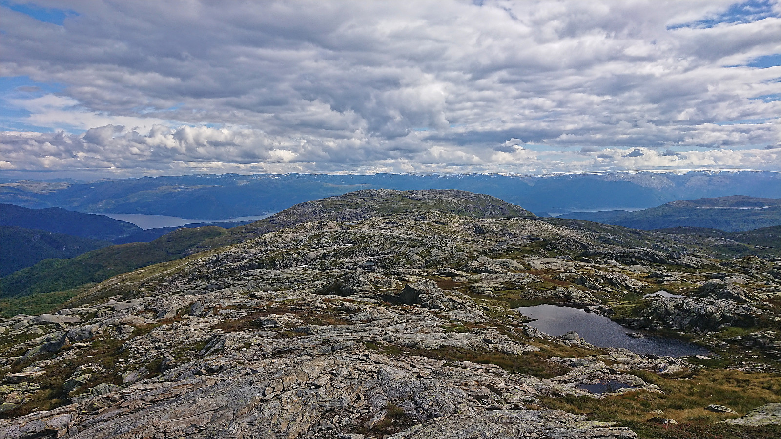
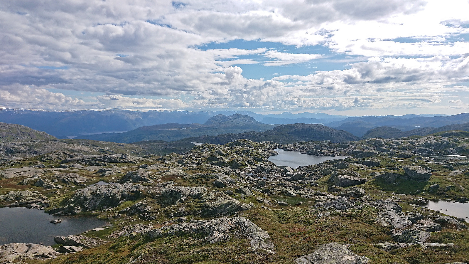
I continued south to the Ådni 1098 summit which first required another easy descent and then an equally easy ascent. Excellent views along the way and from the summit. Especially into both Vossadalen and Fitjadalen.
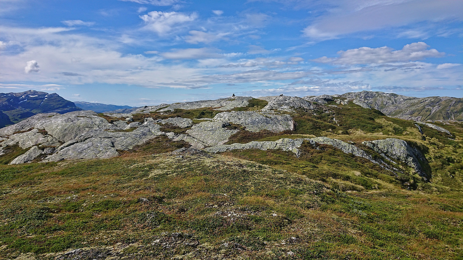
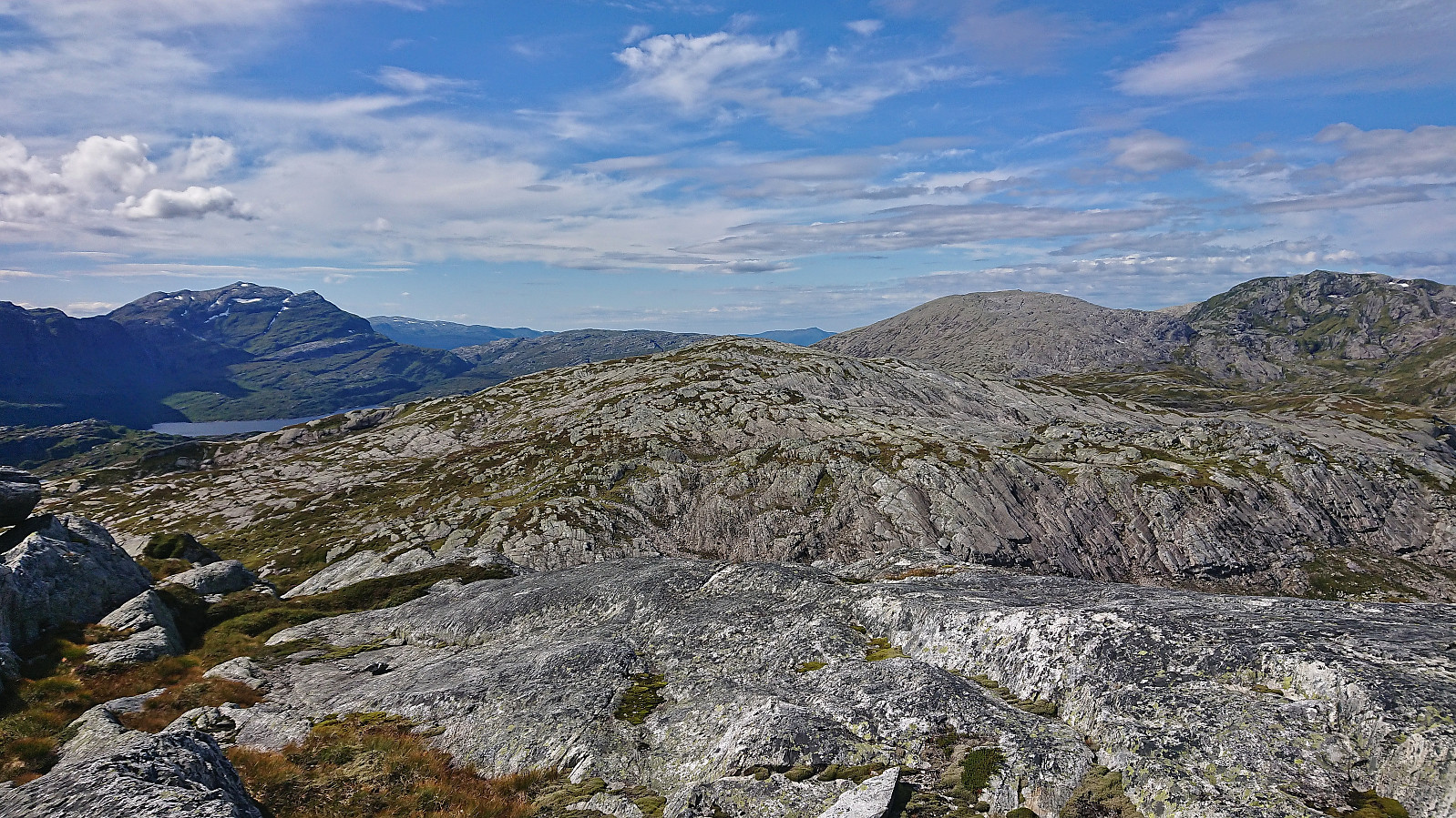
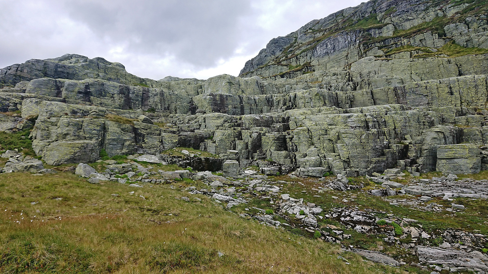
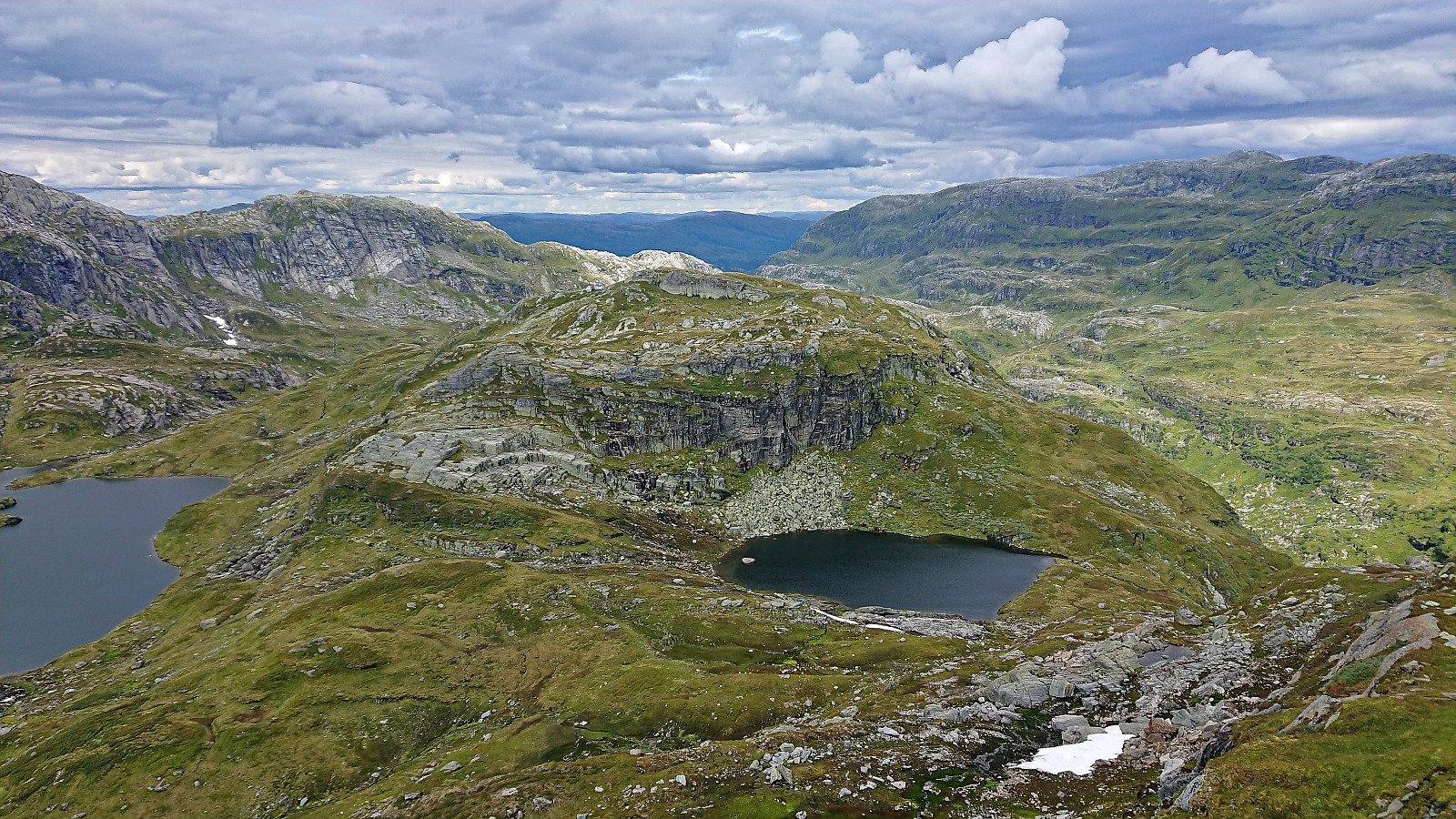
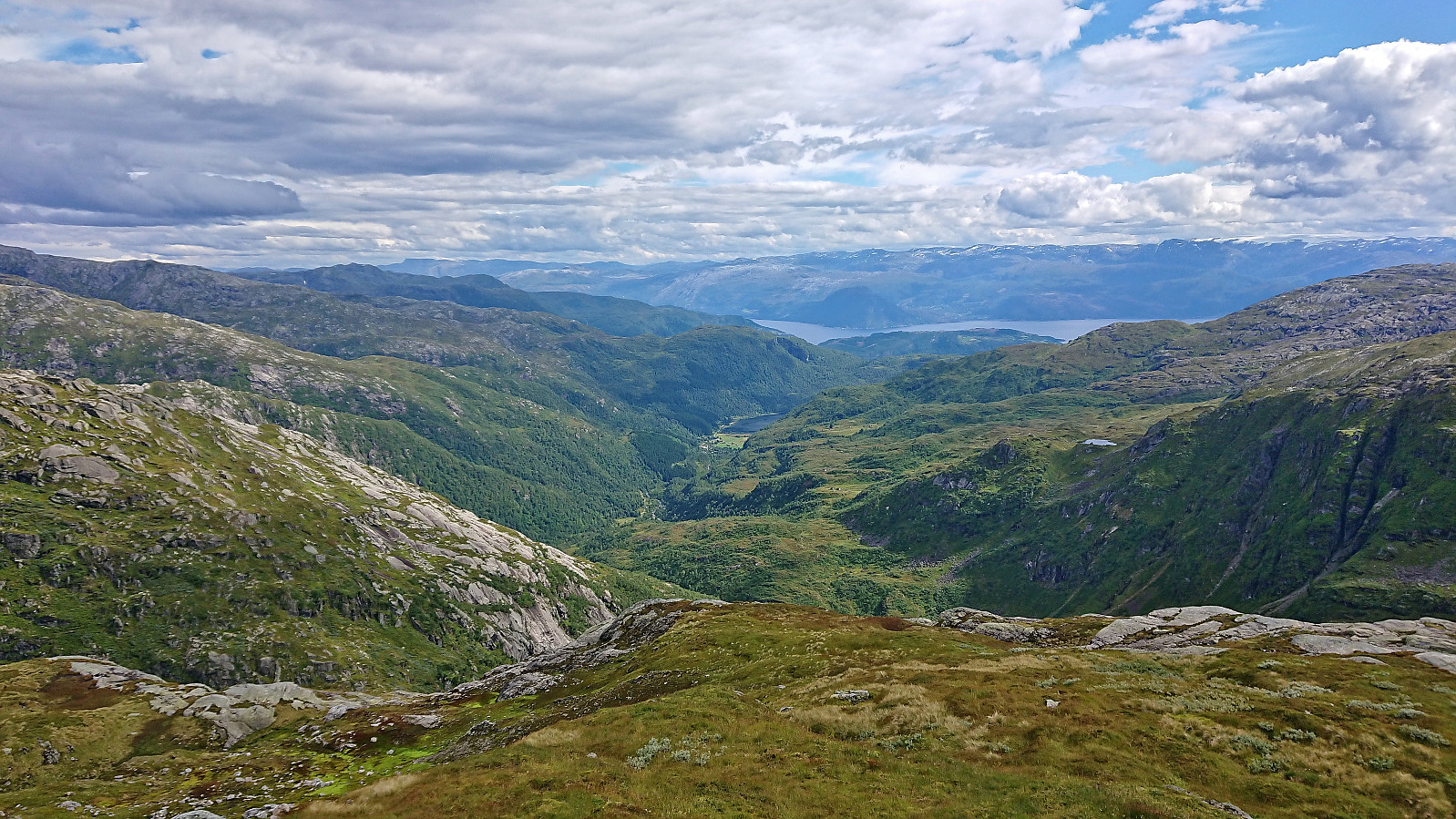
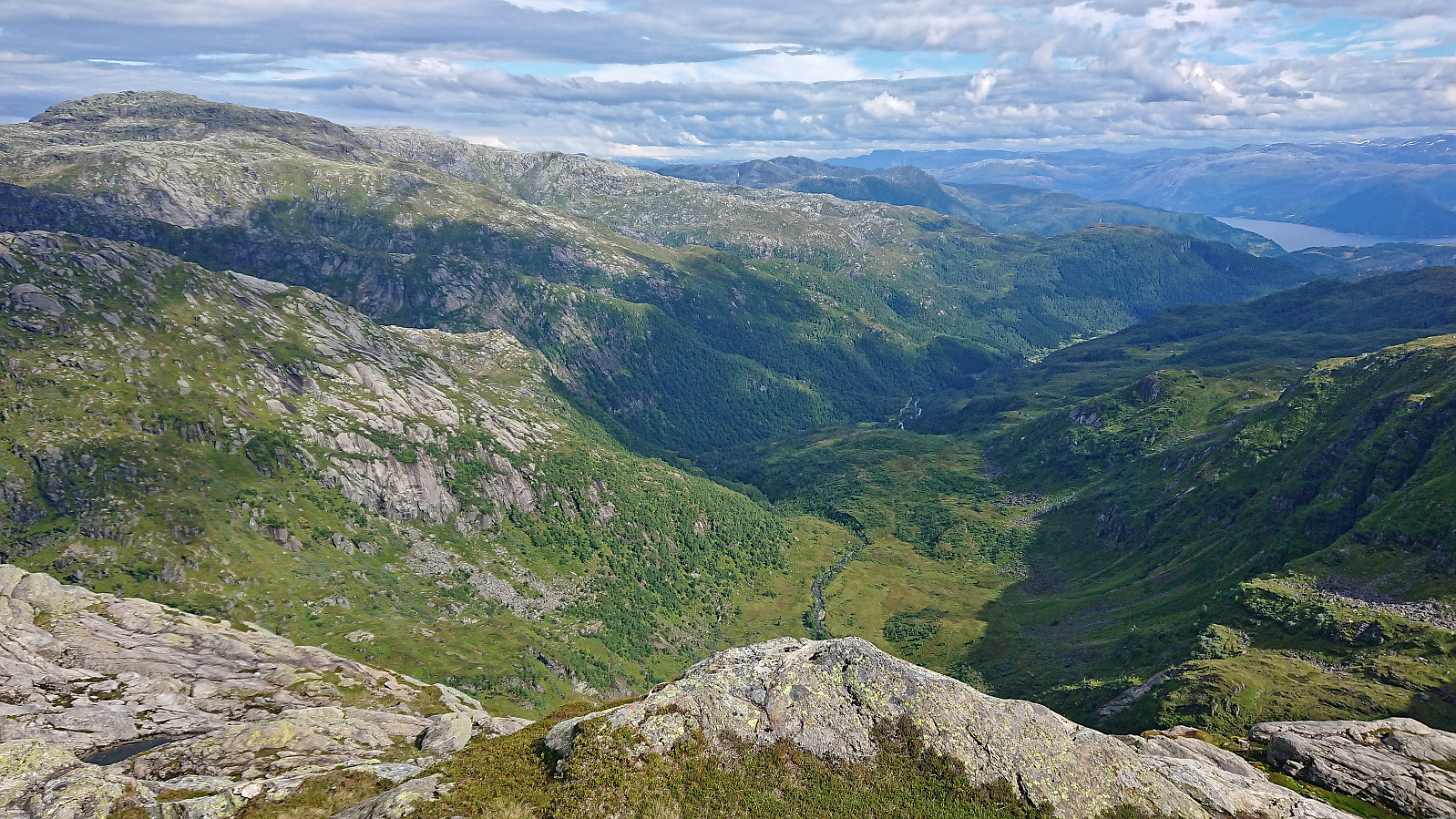
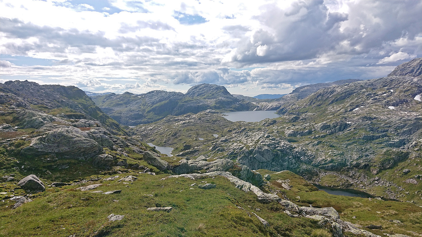
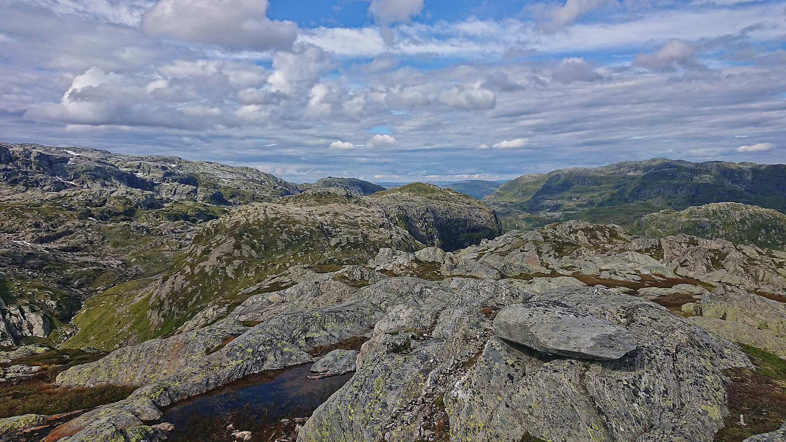
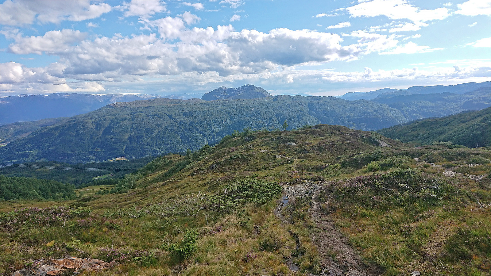
From Ådni 1098 I descended into Oddmundsgjelet before starting the final real ascent of the day to the summit of Gråtindane. This had looked like the most difficult ascent when planning the route, but I managed to find a route that only required the occasional easy scrambling and there were no exposed sections. After the initial steep ascent the terrain levelled off and the summit was easily reached.
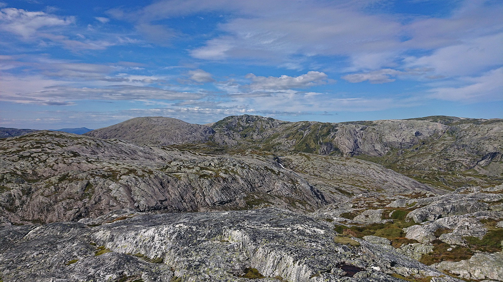
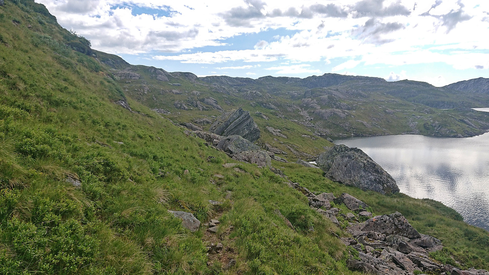
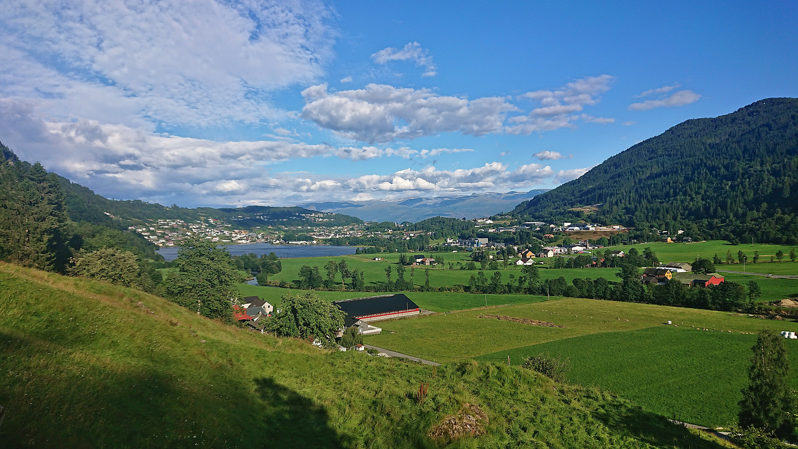
After a short break, I continued south to Myklavatnet and Gråursvika. A couple of steep areas to avoid, but otherwise straightforward. At Gråursvika I was at first rather disappointed with the quality of the trail. But thankfully the quality later improved, although not until I lost it at least once, and I could soon easily follow the trail via Krok down to Forsetfossen and Forsete. From there it was simply a matter of following the trails down to Steinsdalsfossen. A route I was already familiar with after my hike to Torefjell last year (see that trip for more details about the trail.).
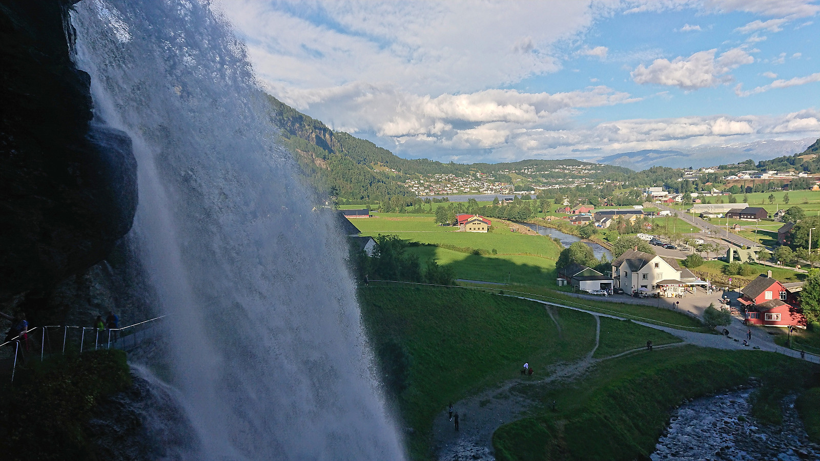
When I later arrived at Steinsdalsfossen I could finally try the famous walk behind the waterfall. Something that I had failed to do on my previous two visits given that the path behind the waterfall had been closed for the winter. Afterwards, all that remained was waiting around 20 minutes for the bus to Bergen to show up.
In conclusion, a long but very nice hike that included lots of interesting ascents and spectacular views along the way. Note that it is of course also possible to split this hike over two days by spending a night at Vending.

| Starttidspunkt | 18.08.2023 10:09 (UTC+01:00 ST) |
| Sluttidspunkt | 18.08.2023 18:46 (UTC+01:00 ST) |
| Totaltid | 8t 37min |
| Bevegelsestid | 8t 05min |
| Pausetid | 0t 31min |
| Snittfart totalt | 3,4km/t |
| Snittfart bevegelsestid | 3,6km/t |
| Distanse | 29,6km |
| Høydemeter | 1428m |


Kommentarer