
Lyklingfjellet from Bømlavegen (01.08.2023)

Written by hbar (Harald Barsnes)

| Start point | Bømlavegen (36m) |
|---|---|
| Endpoint | Bømlavegen (36m) |
| Characteristic | Hillwalk |
| Duration | 1h 01min |
| Distance | 2.5km |
| Vertical meters | 113m |
| GPS |
|
| Ascents | Lyklingfjellet (152m) | 01.08.2023 |
|---|---|---|
| Visits of other PBEs | Lyklingsfjella fra Bømlavegen (30m) | 01.08.2023 |
Lyklingfjellet from Bømlavegen
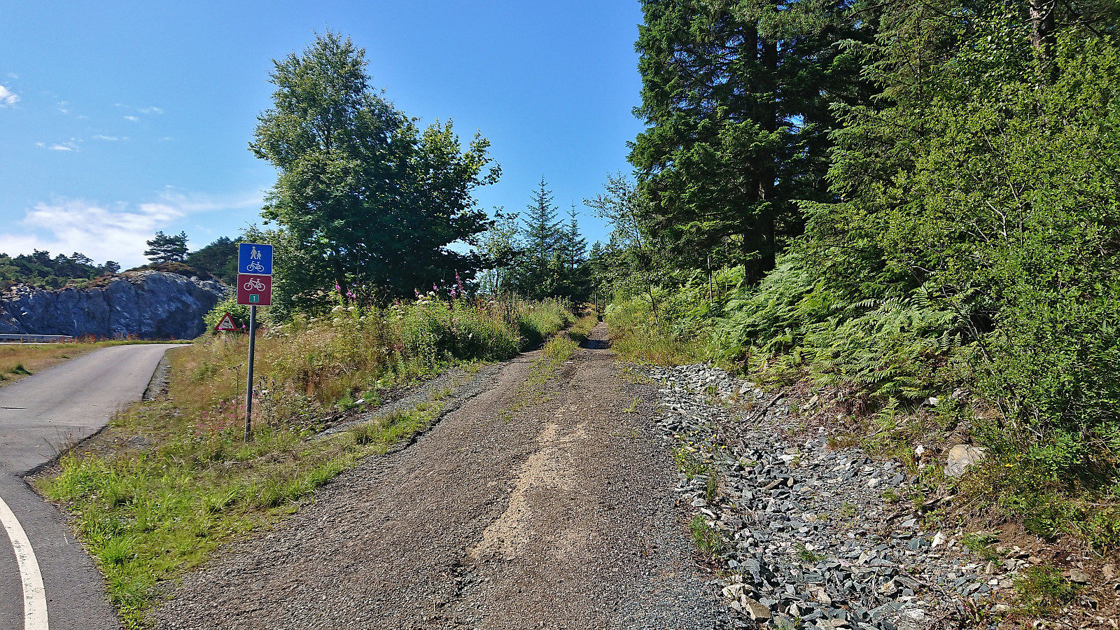
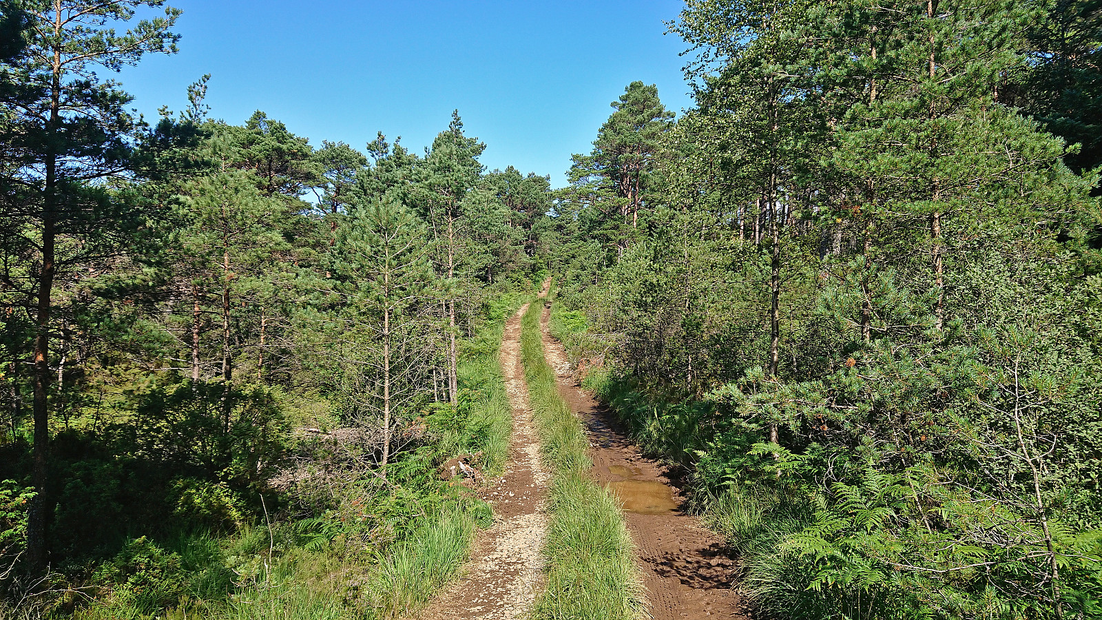
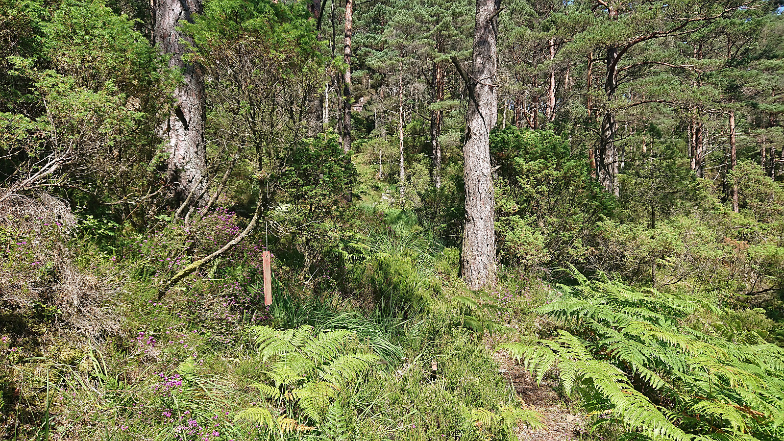
After ascending Børøysåta and Børøyklampen, I cycled the short distance to the marked trailhead for Lyklingfjellet (or I guess more correctly the marked trailhead for Hovda, as Lyklingfjellet was not actually mentioned on any of the signs). While it would have been possible to cycle further along the tractor road, it got increasingly more muddy, hence I quickly decided to leave the bike and continue on foot.
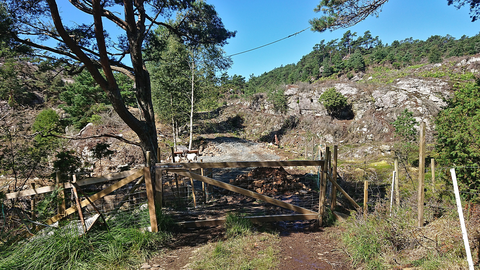
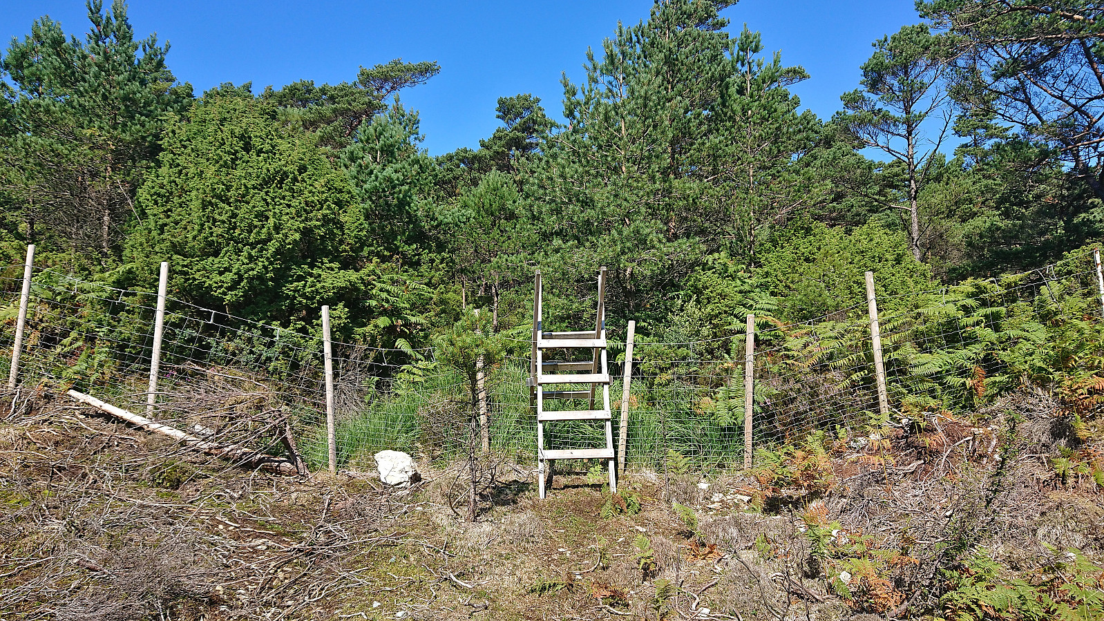
The tractor road later passed through a gate with grazing sheep on the other side. The sheep were however soon left behind when crossing the fence via a wooden ladder and starting on the marked trail towards Hovda.
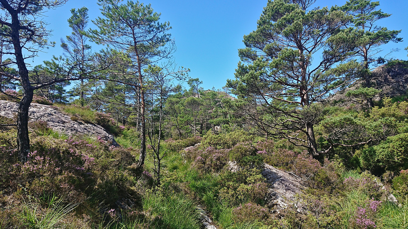
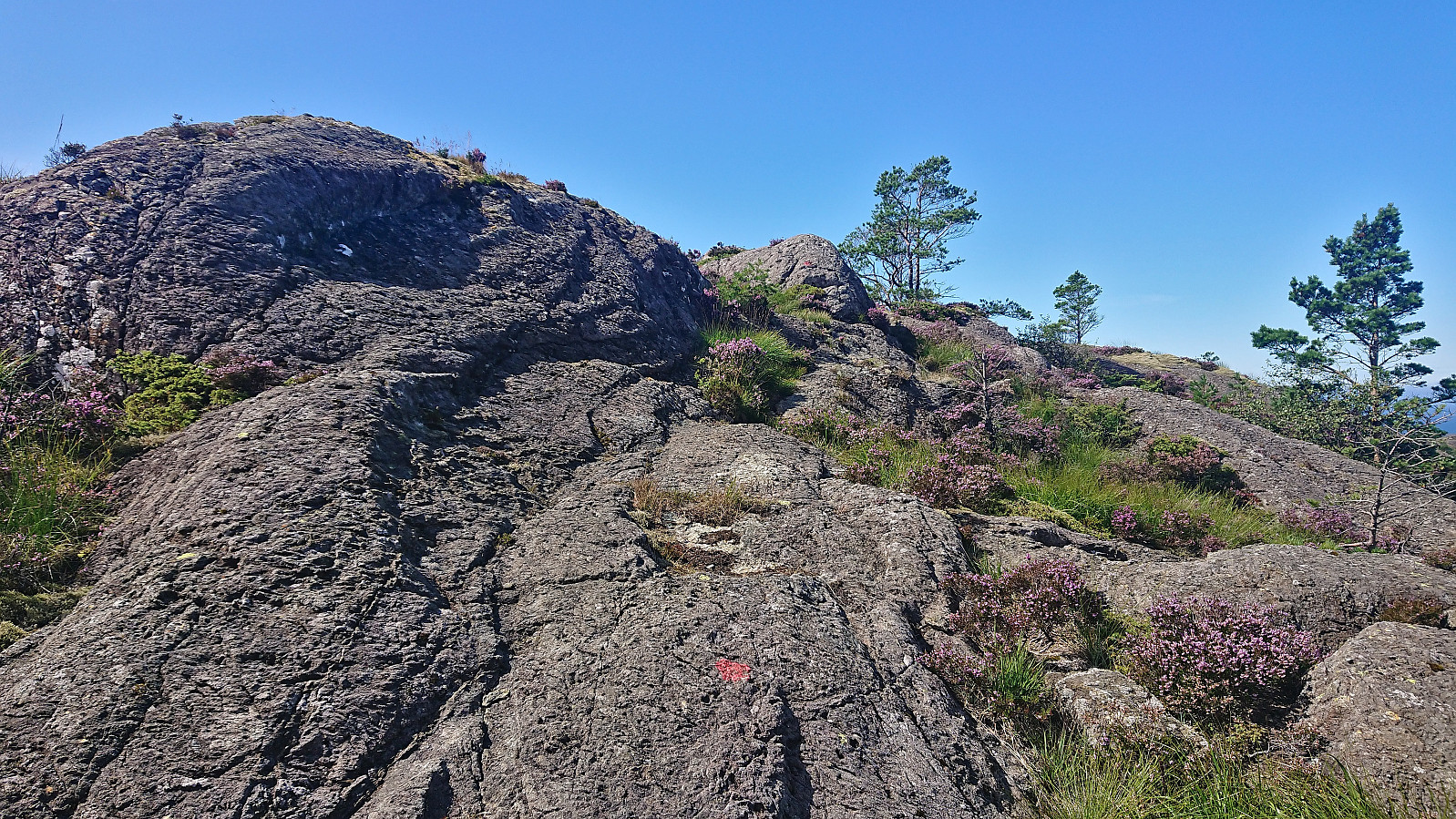
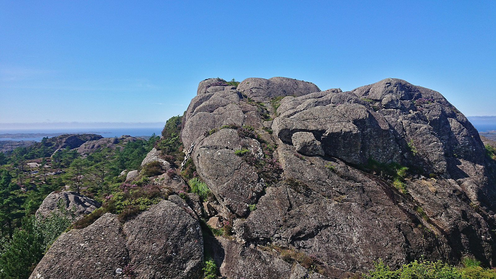
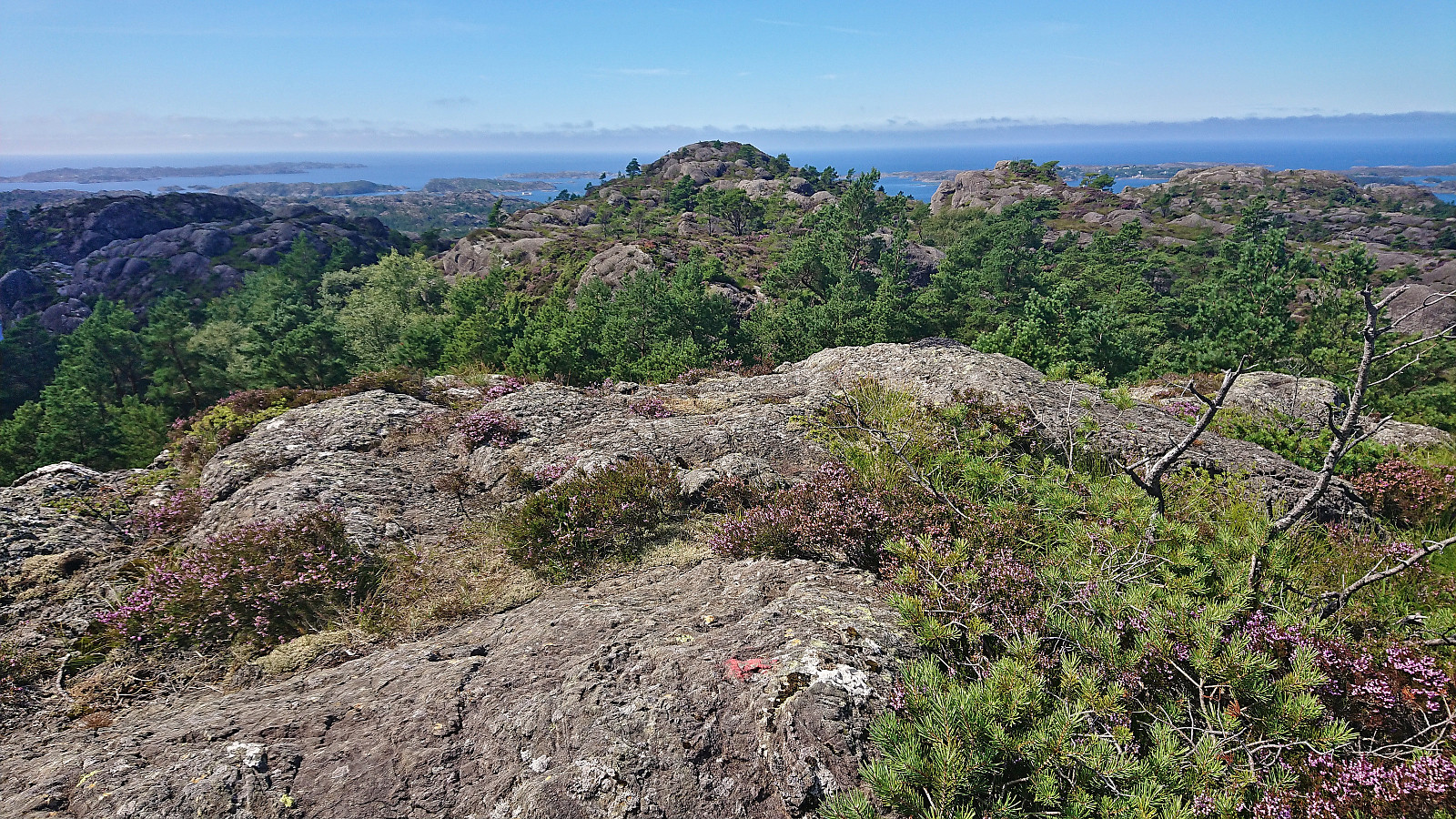
When the trail later forked I continued on an unmarked trail that, to my surprise, took me all the way to the summit of Lyklingfjellet. There were even red painted trail markers towards the end and a wooden ladder to navigate a short steep section just below the summit.
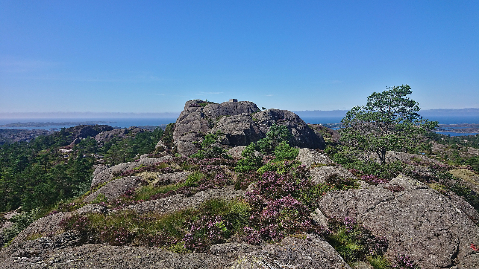
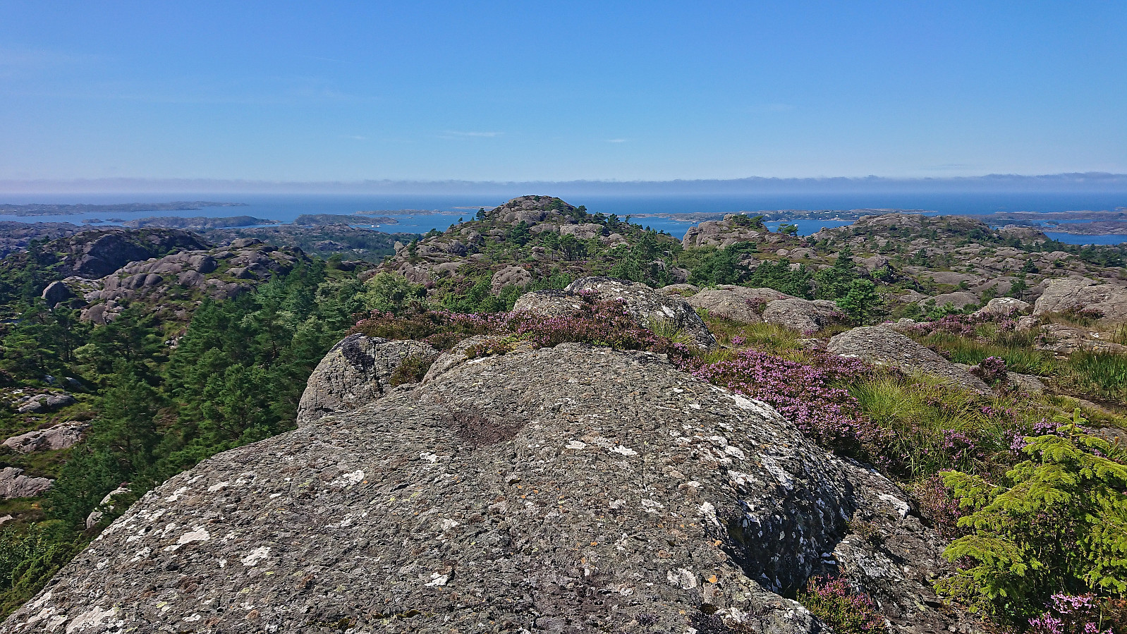
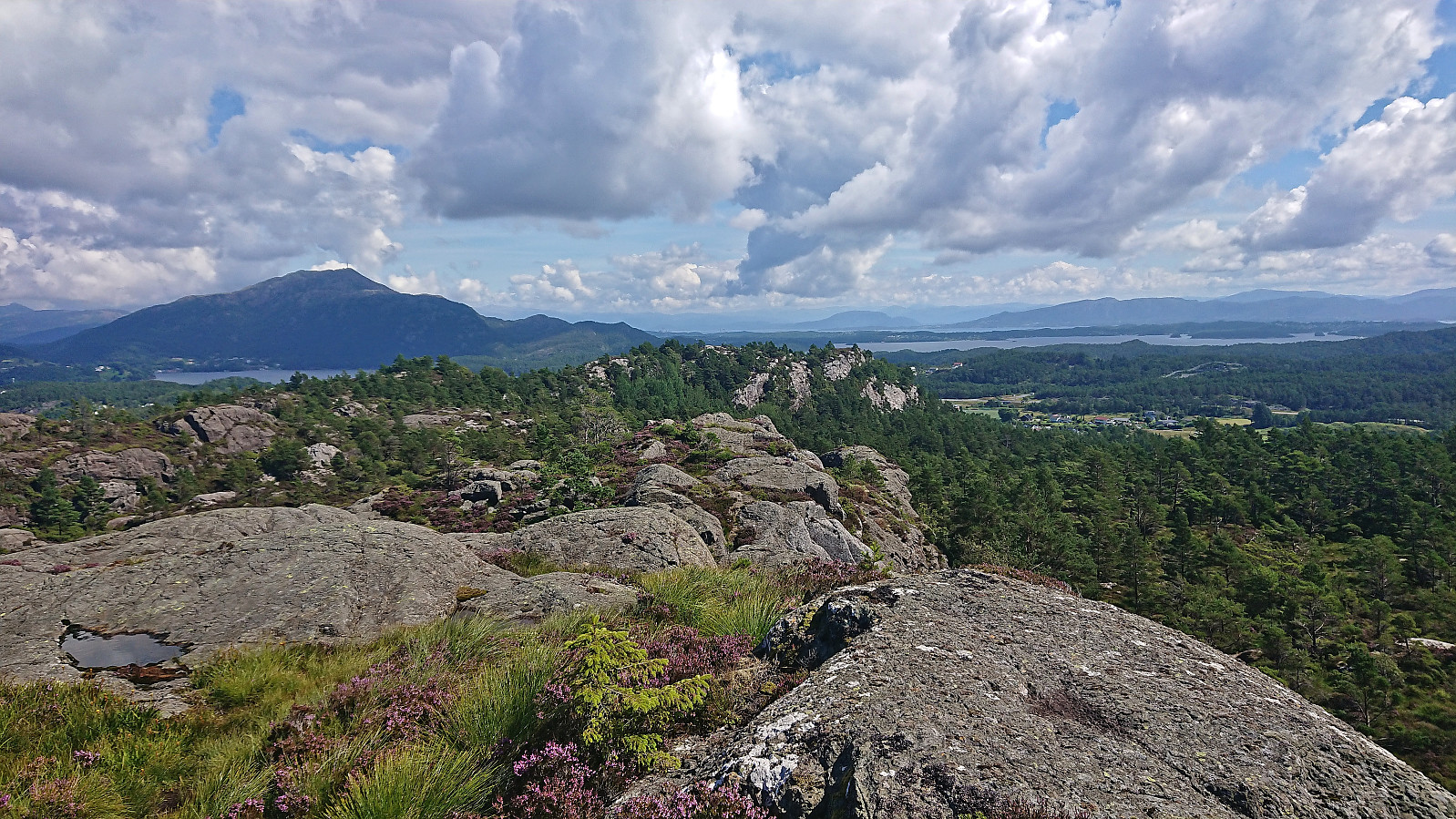
Excellent panoramic views from the summit. I was however mainly focused on a hill 250 meter to the west which seemed to be very similar in height, i.e. was I really on the highest point..? But after five minutes on hoydedata.no I concluded that while the difference was minimal the hill I was on was indeed slightly higher. The red trail markers however continued west across the summit, hence maybe the views are better from the western hill?
I returned along the same route and skipped the visit of Hovda in order to have time to also visit Kurebu before returning to Rubbestadneset.
| Start date | 01.08.2023 12:54 (UTC+01:00 DST) |
| End date | 01.08.2023 13:55 (UTC+01:00 DST) |
| Total Time | 1h 01min |
| Moving Time | 0h 51min |
| Stopped Time | 0h 9min |
| Overall Average | 2.4km/h |
| Moving Average | 2.9km/h |
| Distance | 2.5km |
| Vertical meters | 113m |


User comments