
Sør for Børøysåta and Børøyklampen (01.08.2023)

Written by hbar (Harald Barsnes)

| Start point | Falkastigen (43m) |
|---|---|
| Endpoint | Falkastigen (43m) |
| Characteristic | Hillwalk |
| Duration | 1h 34min |
| Distance | 3.3km |
| Vertical meters | 216m |
| GPS |
|
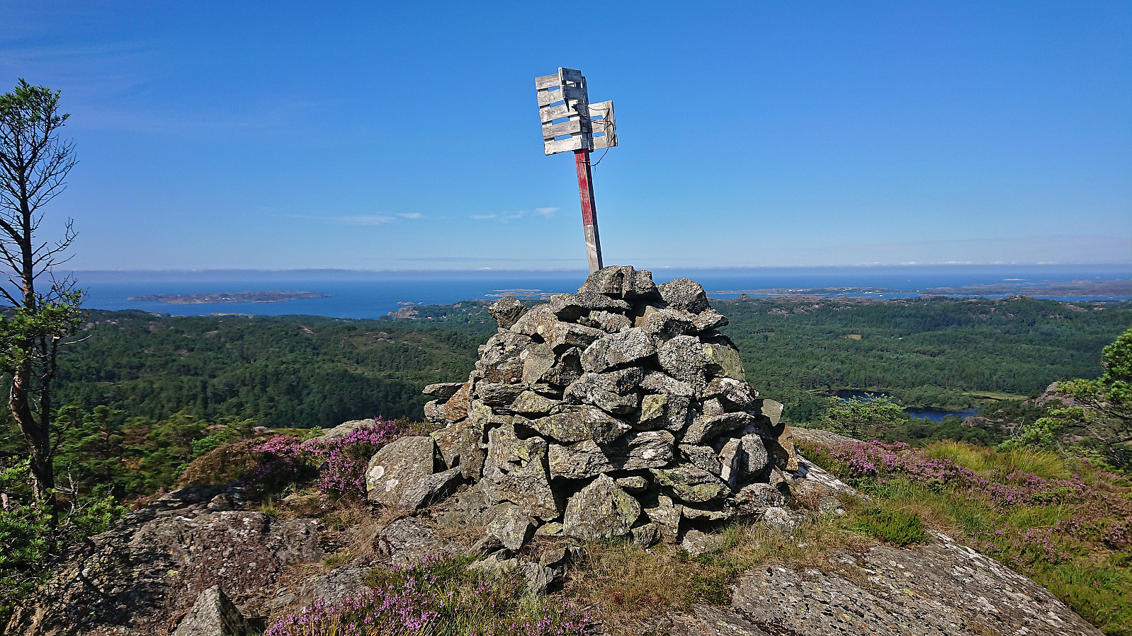
| Ascents | Børøyklampen (179m) | 01.08.2023 |
|---|---|---|
| Sør for Børøysåta (168m) | 01.08.2023 |
Sør for Børøysåta and Børøyklampen
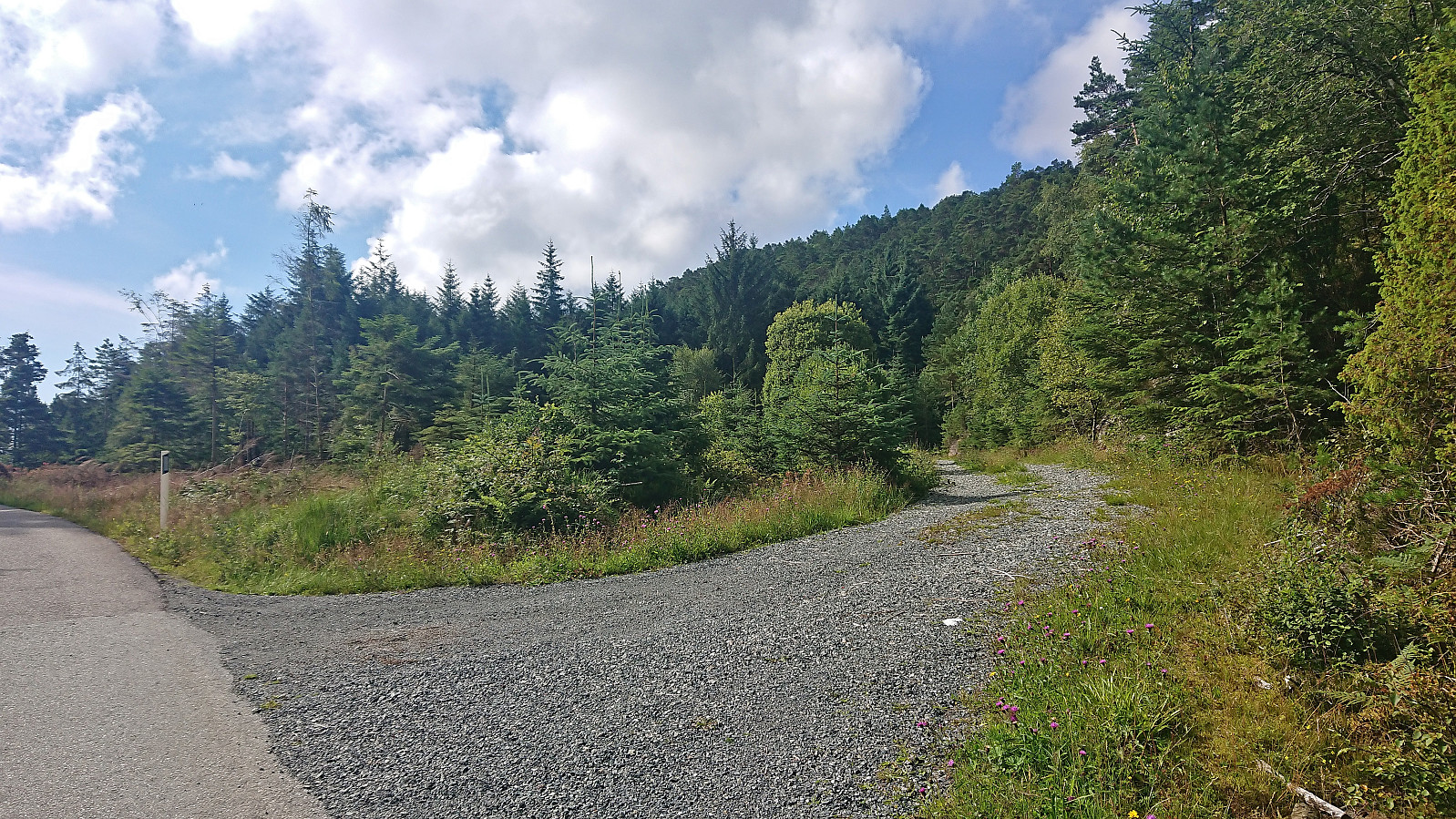
Most hikers seem to ascend Børøyklampen from the parking lot at Nautsundet. I had however come across JoSo (Johan Solberg)'s trip report from 2015 where he referred to a marked trail starting further north. At the top of the last hill before descending to Nautsundet I therefore instead followed a short dead end gravel road to an unmarked trailhead named Falkastigen on the map. Here I left the bike behind and continued on foot.
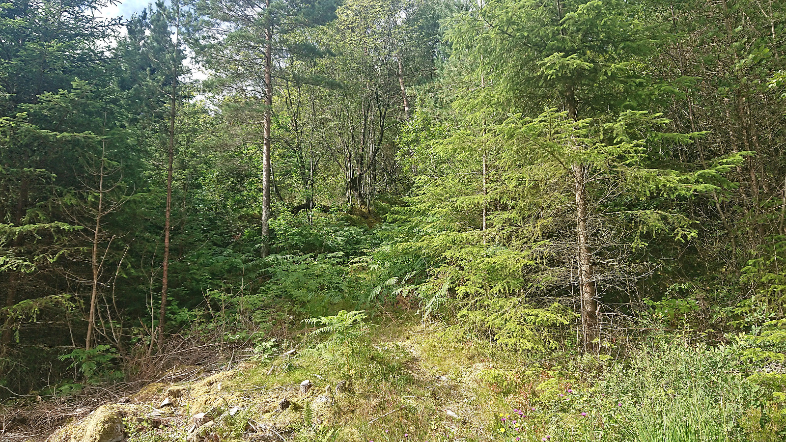
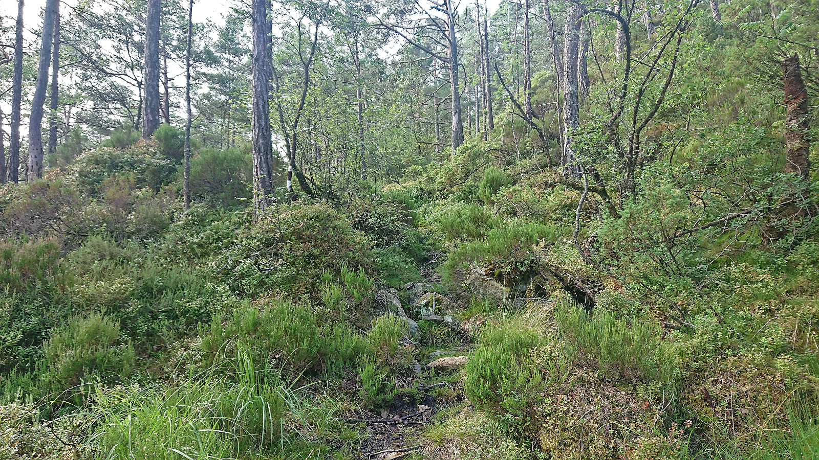
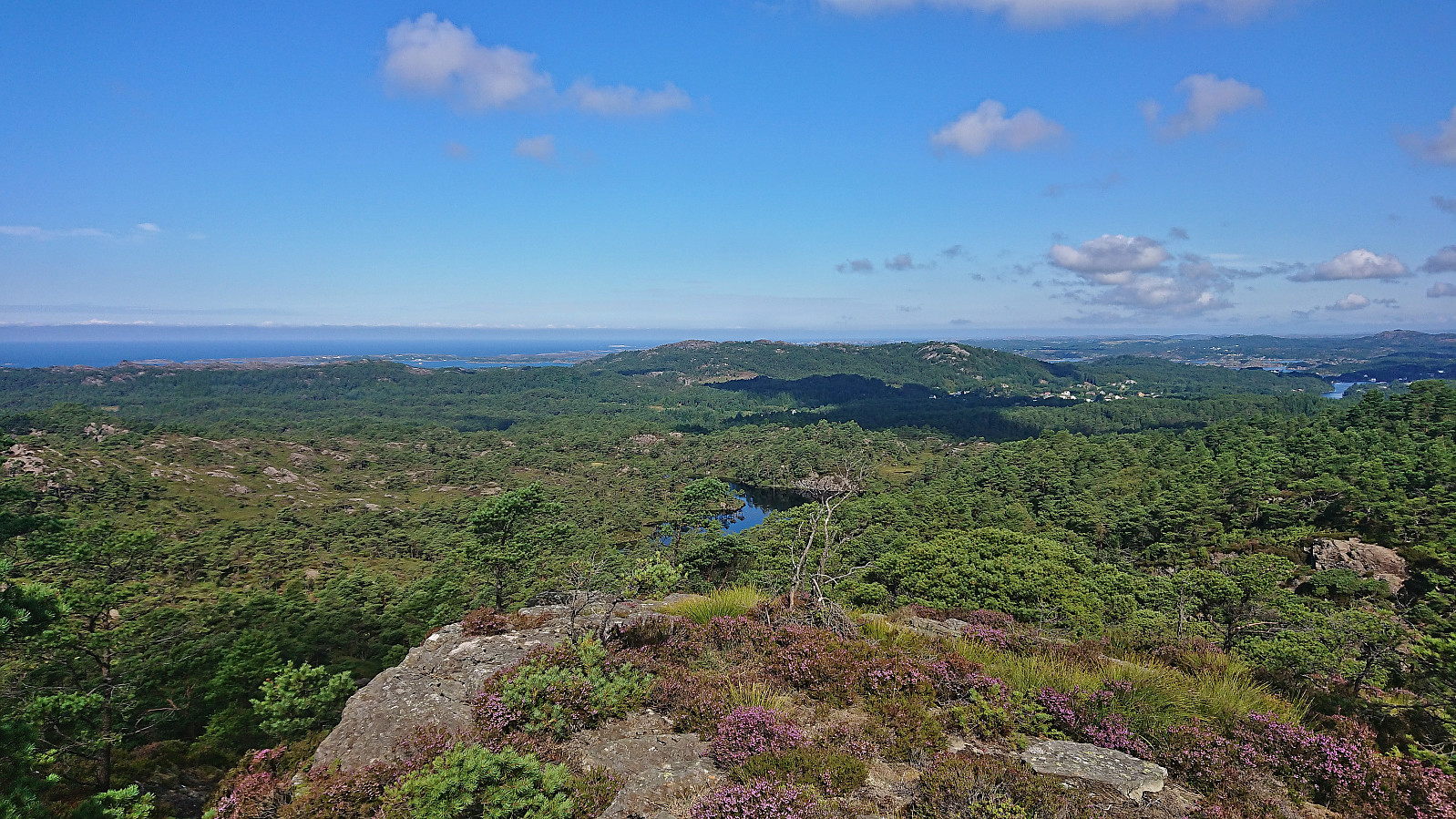
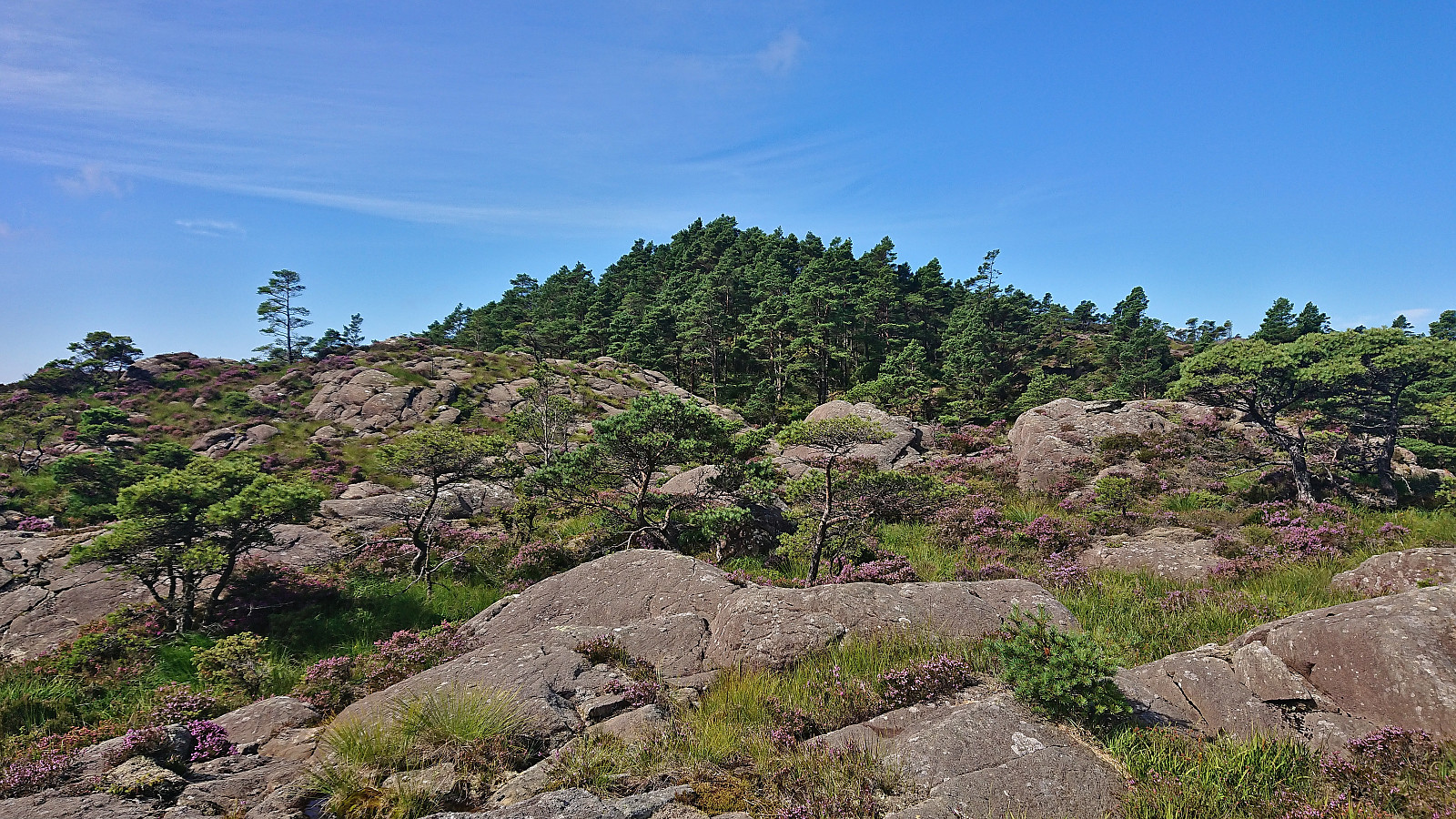
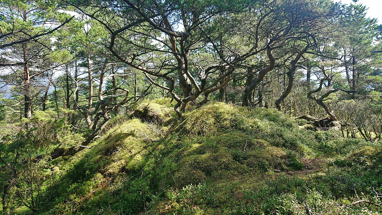
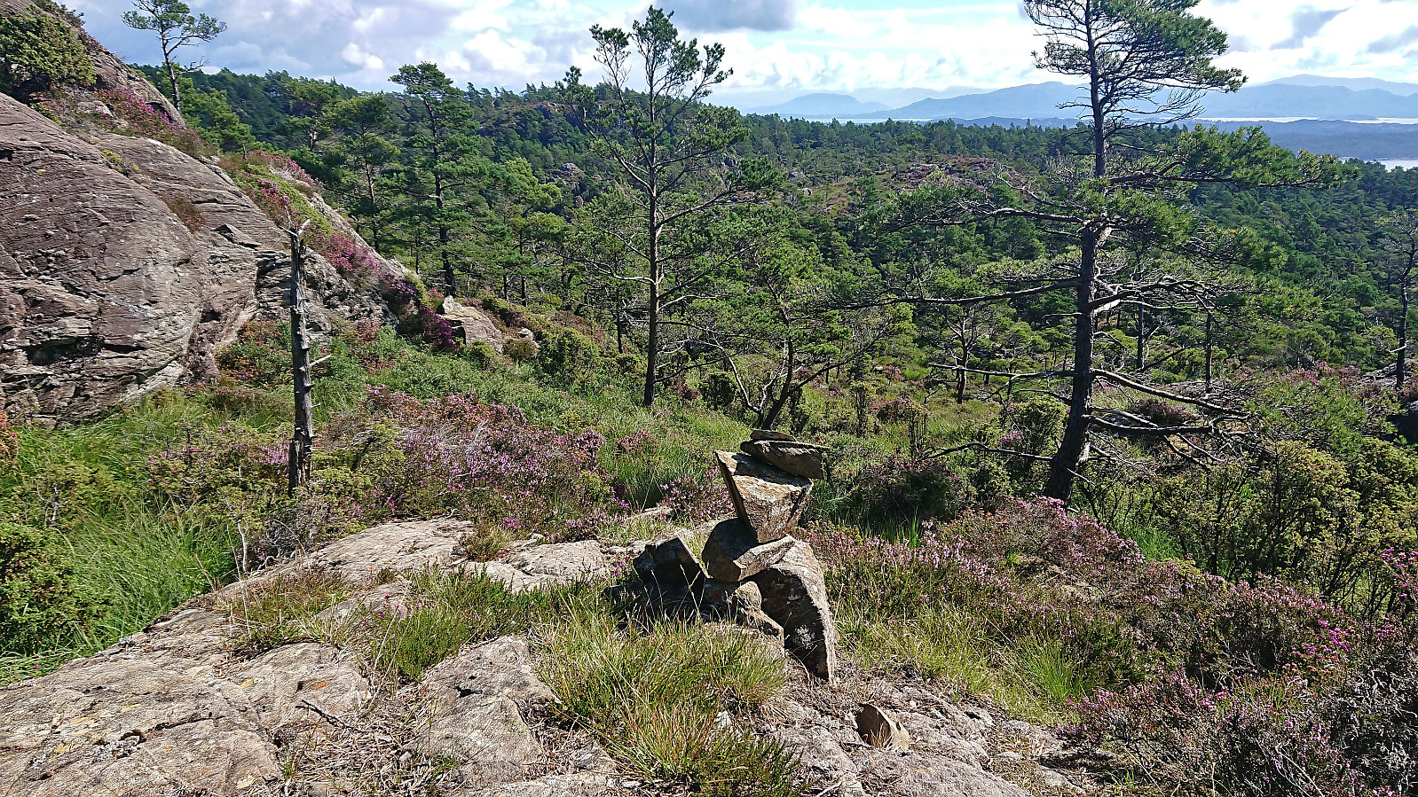
While I did not see any of the trail markers Johan mentioned in his report, the trail was there, although rather weak and disappearing several times, most notably when crossing wet areas. As far as I could tell the trail did not go via the highest point at neither Børøysåta nor Sør for Børøysåta but as it was less than 100 meters to the latter I made a quick off-trail visit before returning to the trail.
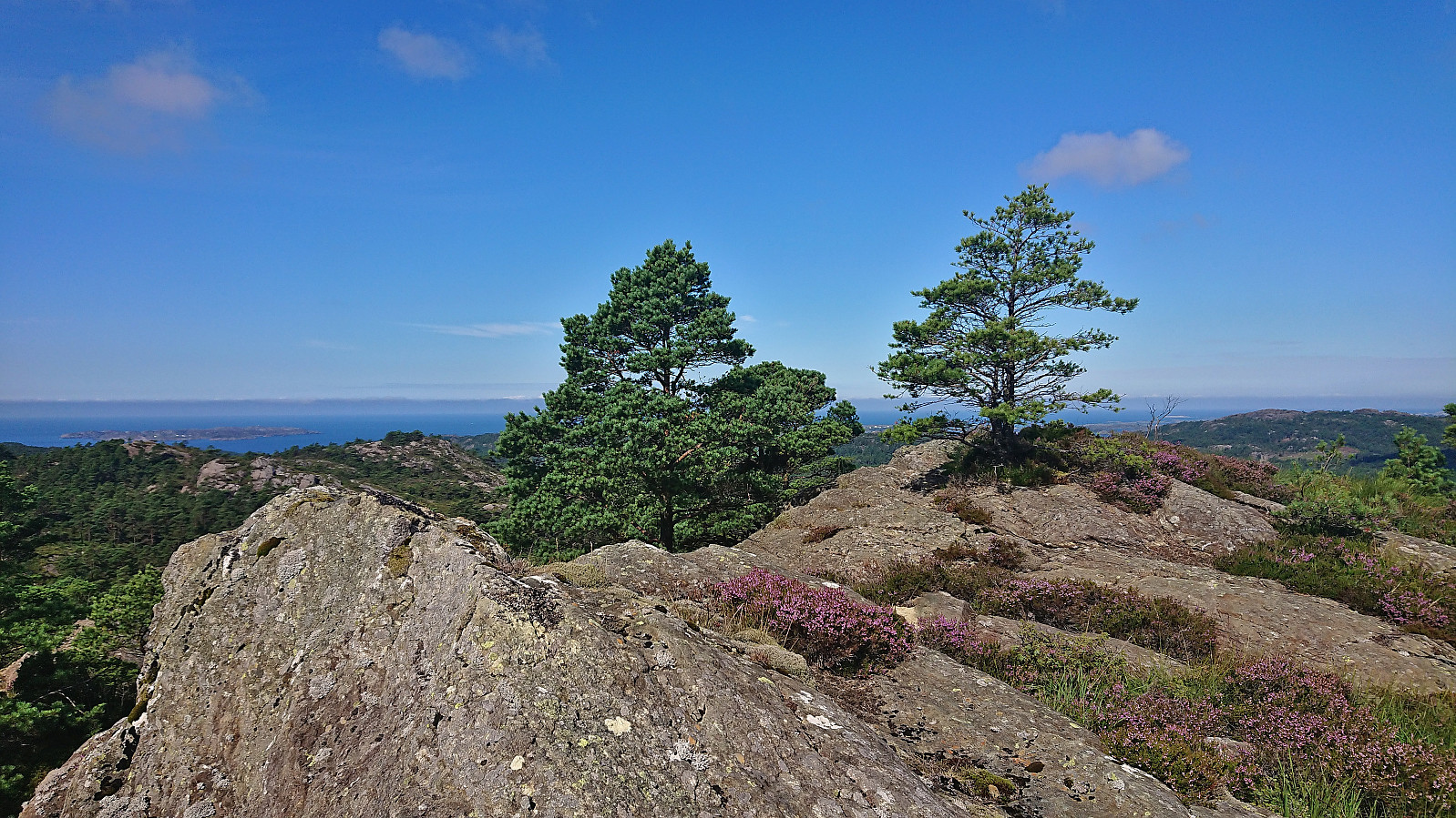
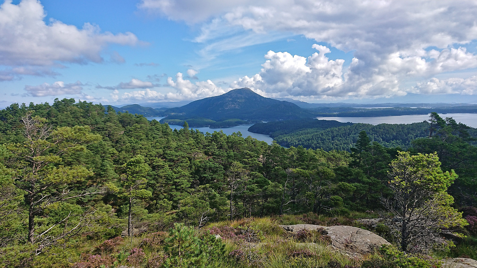
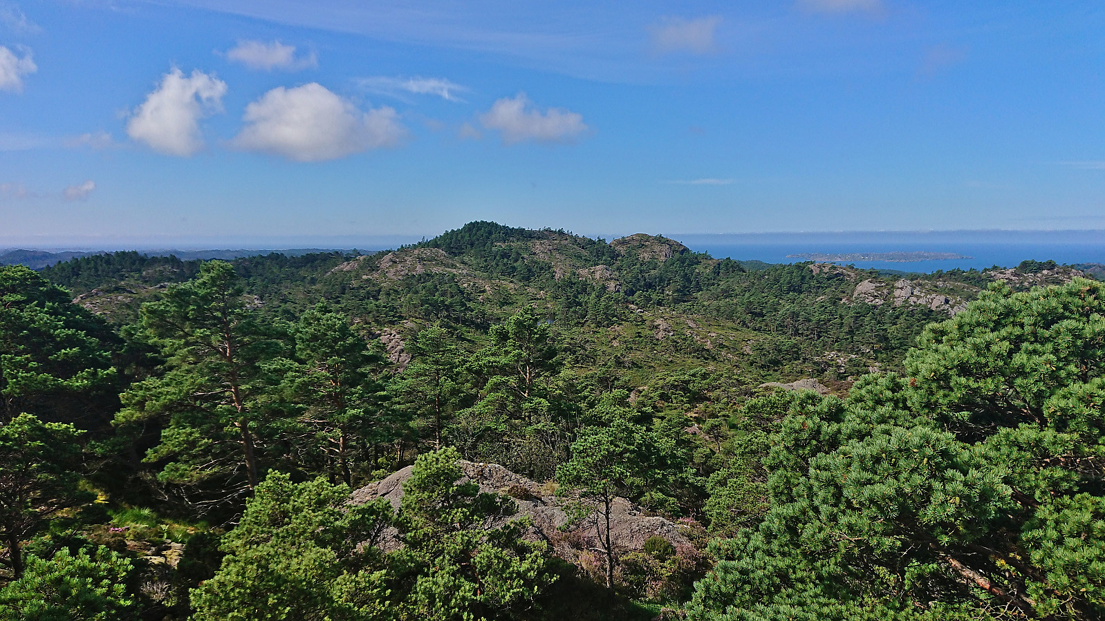
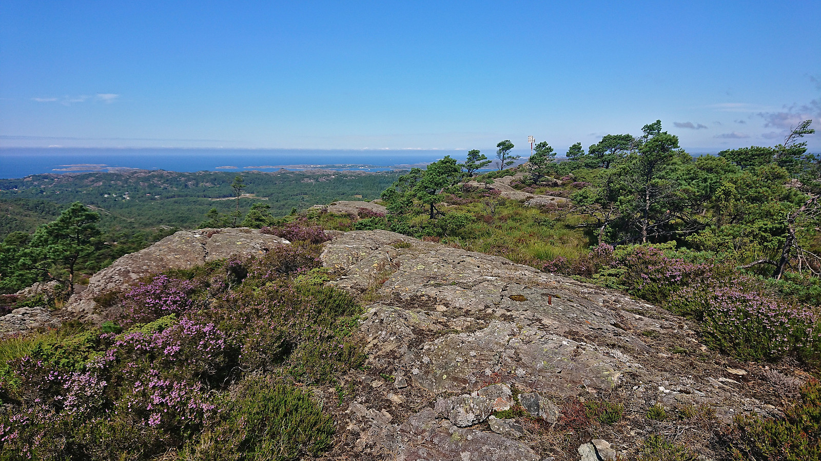
As the trail later turned west towards Børøyklampen it turned significantly weaker and wetter, and for most of this stretch I was not sure whether I was following a trail or not. But as I was approaching the summit the trail quality suddenly greatly improved and the final section was therefore straightforward.
I returned along the same route but this time better managing to follow the trail across the wet areas. Or perhaps I had just gotten used to the poor quality. But at least it felt like I could now follow a trail almost all the way from the summit to the trailhead.
To conclude, there is definitely a trail from Falkastigen to Børøyklampen, however at times it can be difficult to spot and is not always easy to follow. There are also lots of wet areas where the trail pretty much disappears. But overall, it allows for a relatively easy ascent of Børøyklampen. Next, Lyklingfjellet.
| Start date | 01.08.2023 10:46 (UTC+01:00 DST) |
| End date | 01.08.2023 12:21 (UTC+01:00 DST) |
| Total Time | 1h 34min |
| Moving Time | 1h 29min |
| Stopped Time | 0h 5min |
| Overall Average | 2.1km/h |
| Moving Average | 2.2km/h |
| Distance | 3.3km |
| Vertical meters | 216m |


User comments