
Storfjella and Geitafjella from Vikaneset (28.07.2023)

Geschrieben von hbar (Harald Barsnes)

| Startpunkt | Vikaneset (16m) |
|---|---|
| Endpunkt | Vikaneset (16m) |
| Tourcharakter | Bergtour |
| Tourlänge | 9h 11min |
| Entfernung | 26,6km |
| Höhenmeter | 1.516m |
| GPS |
|
| Besteigungen | Geitafjella (812m) | 28.07.2023 |
|---|---|---|
| Storfjella (1.115m) | 28.07.2023 | |
| Besuche anderer PBE | Vetlevarden (1.029m) | 28.07.2023 |
| Øyane p-plass (105m) | 28.07.2023 |
Storfjella and Geitafjella from Vikaneset
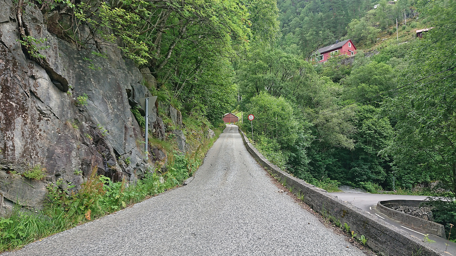

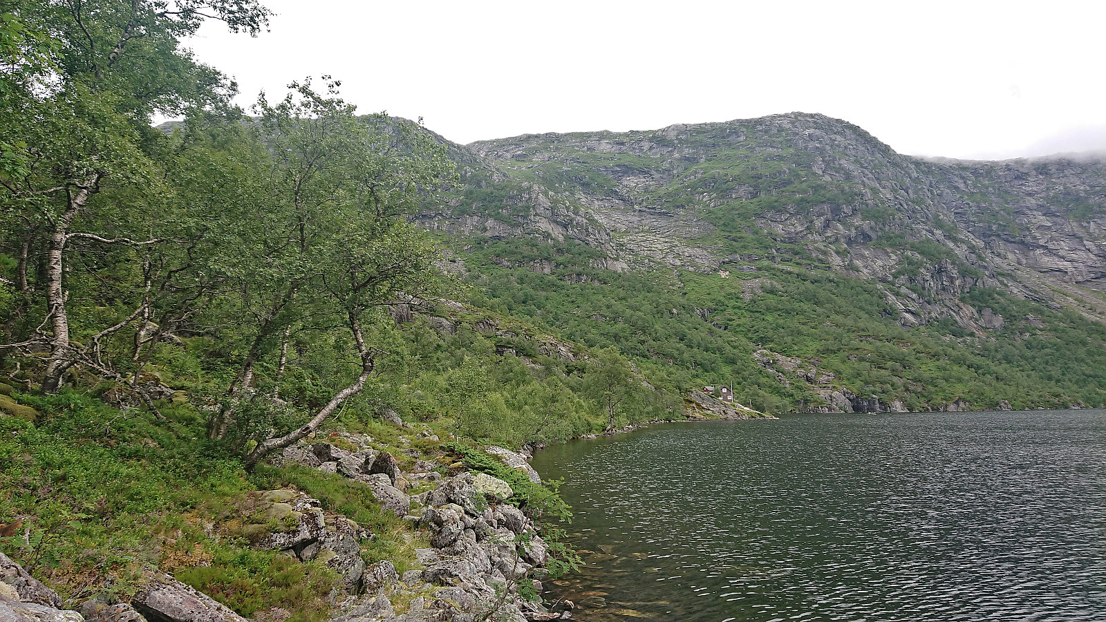
Ever since visiting Øyadalen with two colleagues almost exactly three years ago I had wanted to return to ascend Storfjella and Geitafjella. The main reason for waiting this long is that the Stamnes area is not the most easily accessible by public transport, especially during weekends. For this Friday of my summer holiday I therefore first took the train to Dale and from there the bus to Vikaneset (note: bus stop just called Vik).
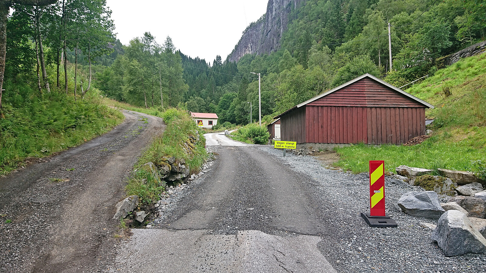
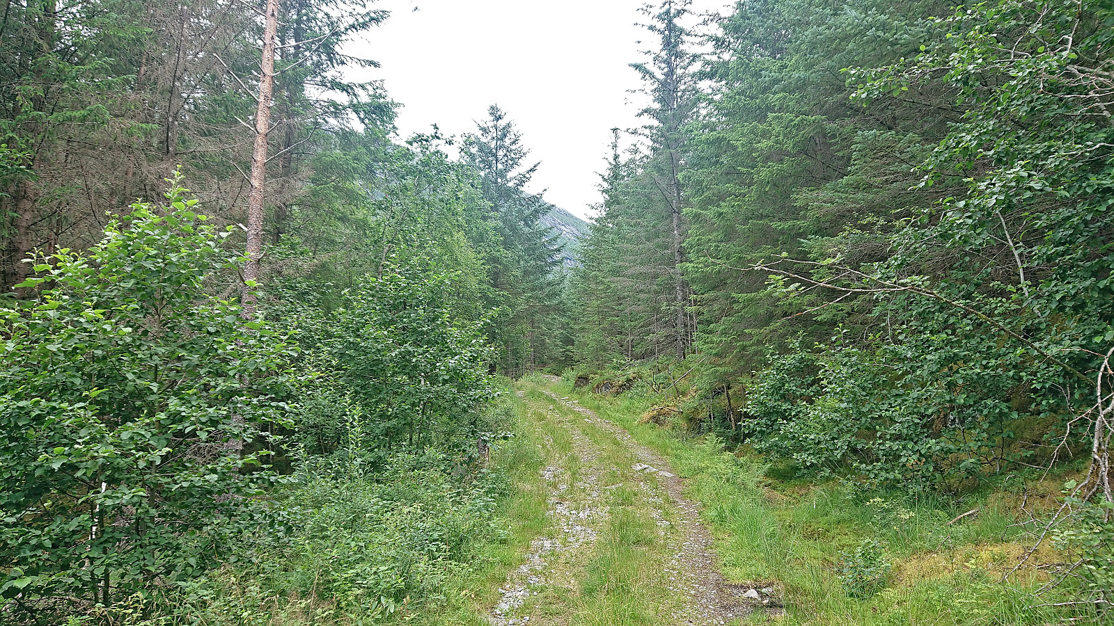
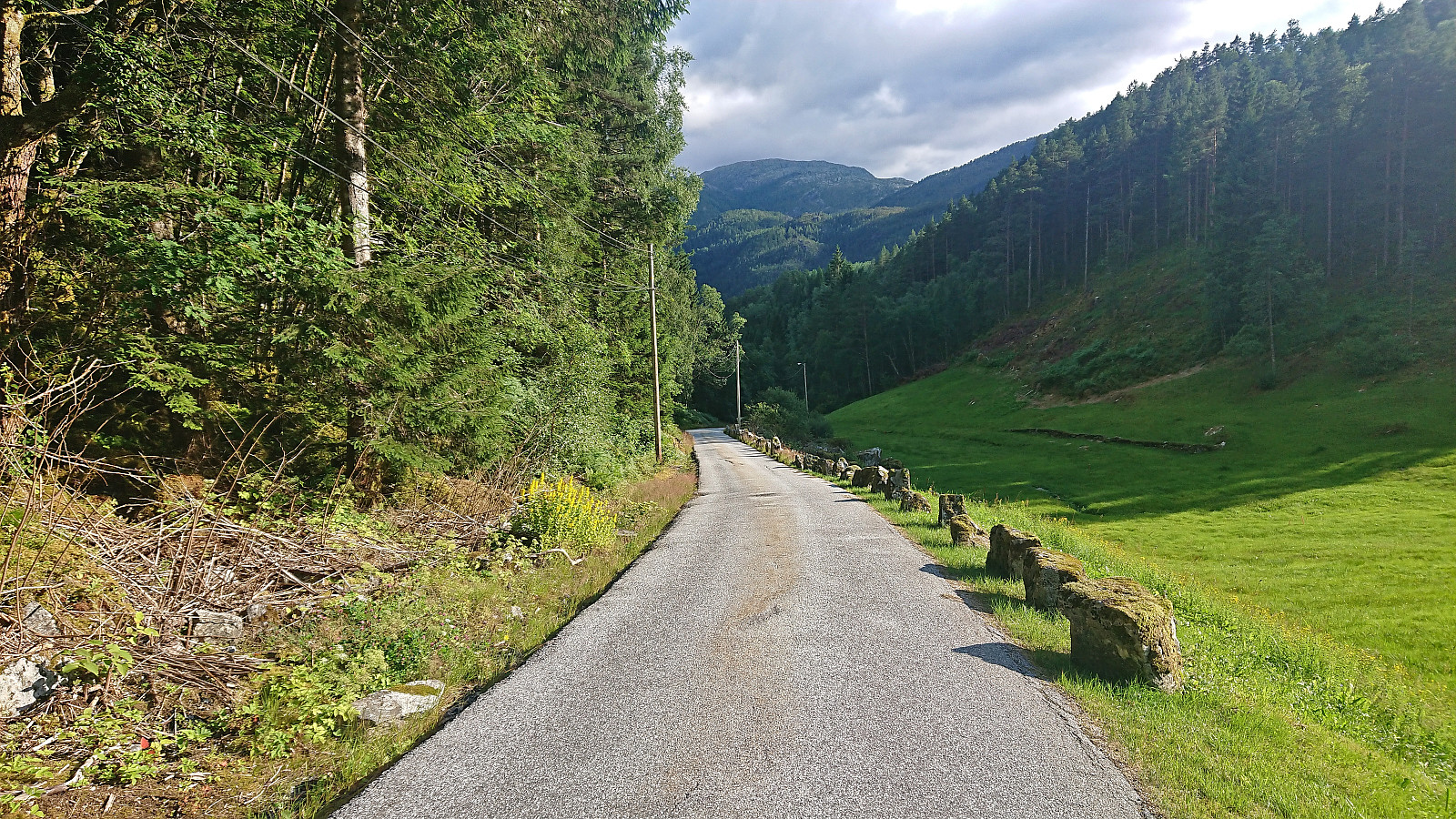
After getting off the bus, where I had been the only passenger (which would also be the case for the return trip to Dale), I started ascending north along the paved road up Vikadalen. I had not walked for more than a couple of minutes though before seeing the first sign stating that the road was closed! This brought back bad memories from my failed attempt at ascending Matrenipa three years earlier when a closed road had ruined all of my plans. Thankfully, today the sign turned out to be a false alarm as the road was indeed open and I could continue with my original hiking plan.
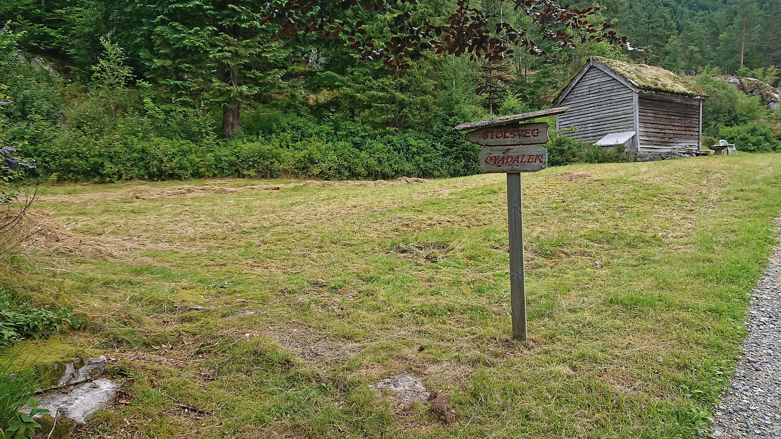
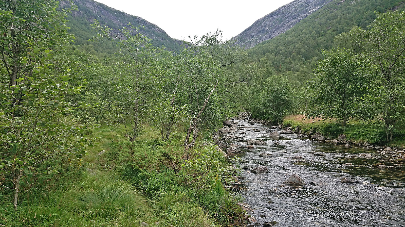
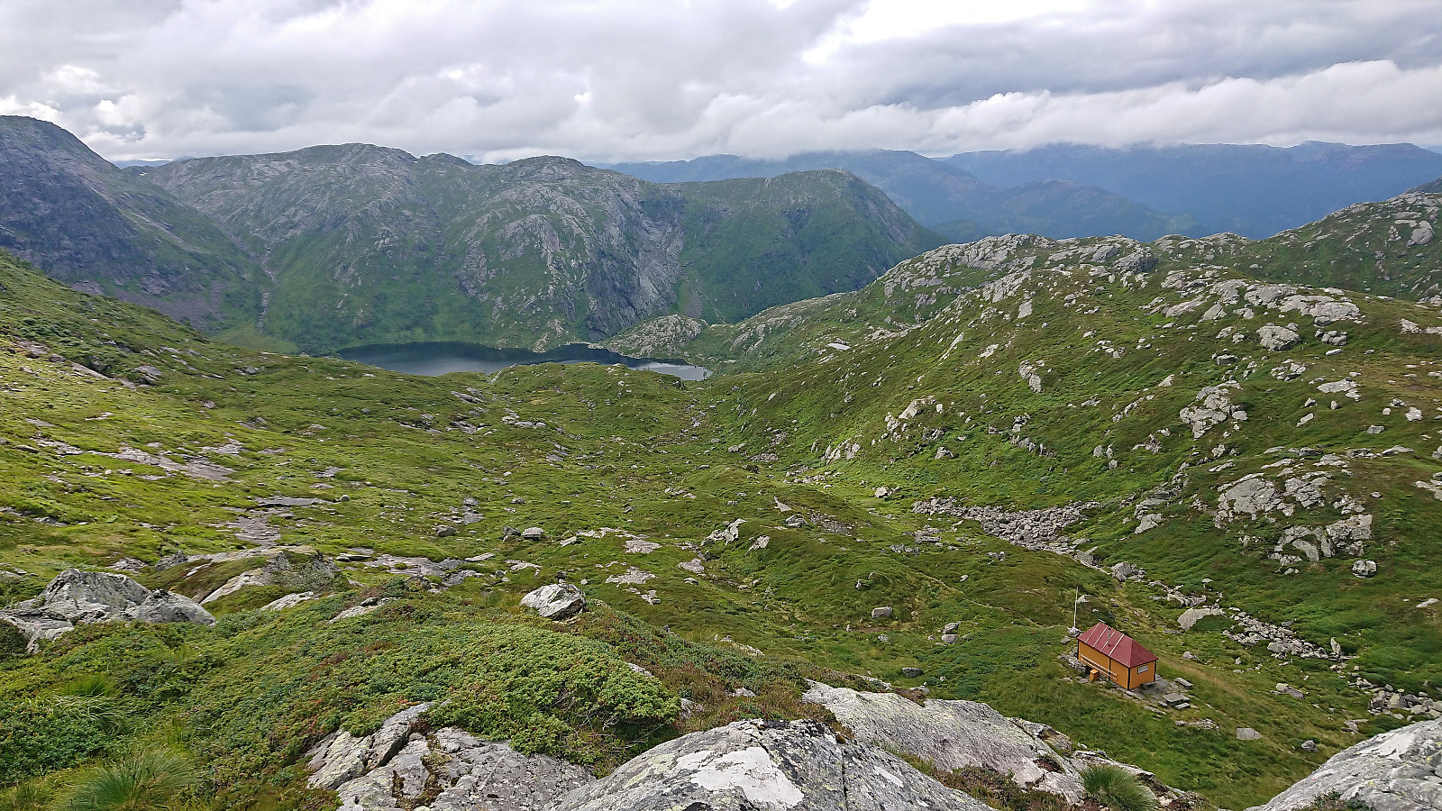
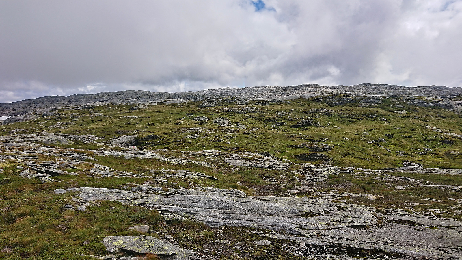
Upon later arriving at Øyane, I decided to follow the hiking signs for Øyadalen, instead of simply following the tractor road which we had done last time. This however turned out to be a mistake, as this trail was rather wet and clearly not very frequently used. But it did not take long before it connected with the mentioned tractor road and I could make better progress up the valley.
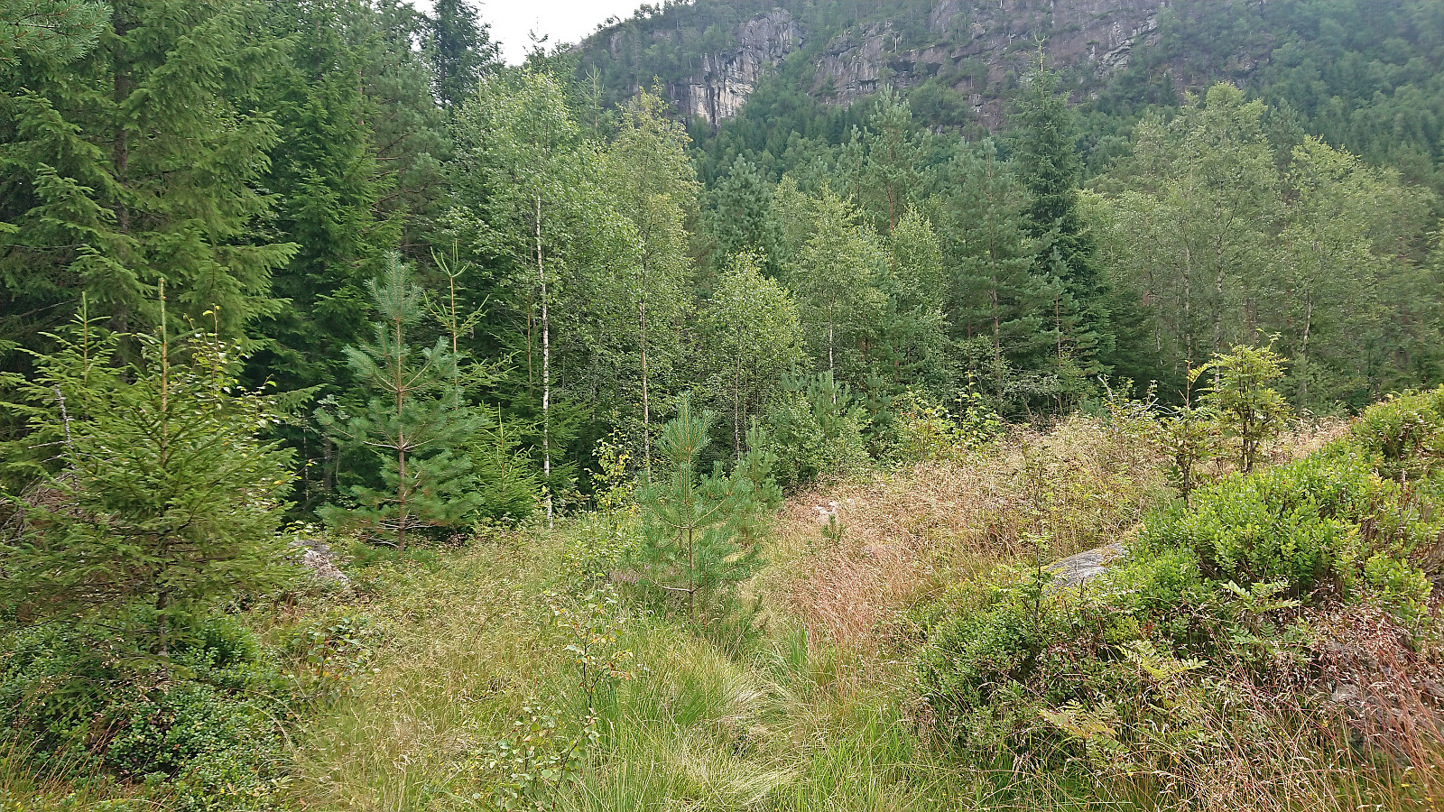
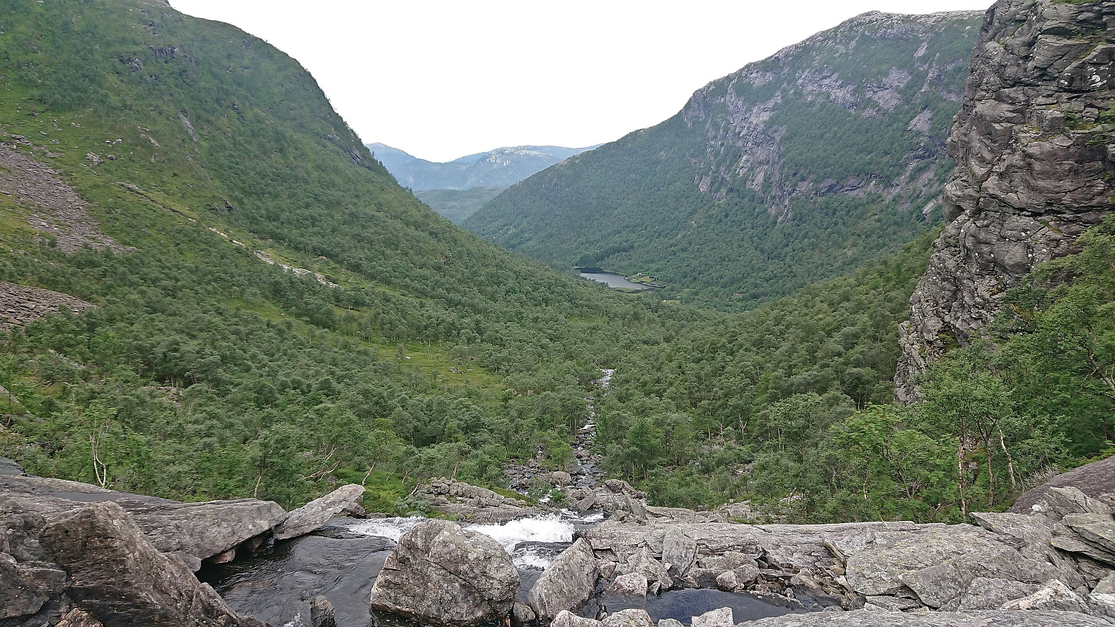
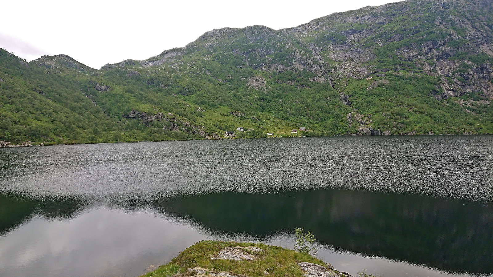
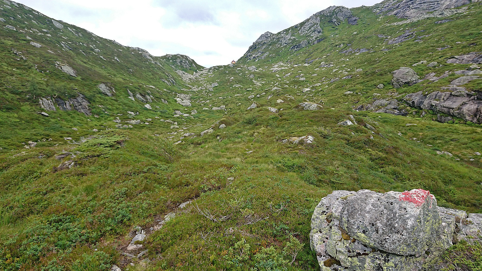
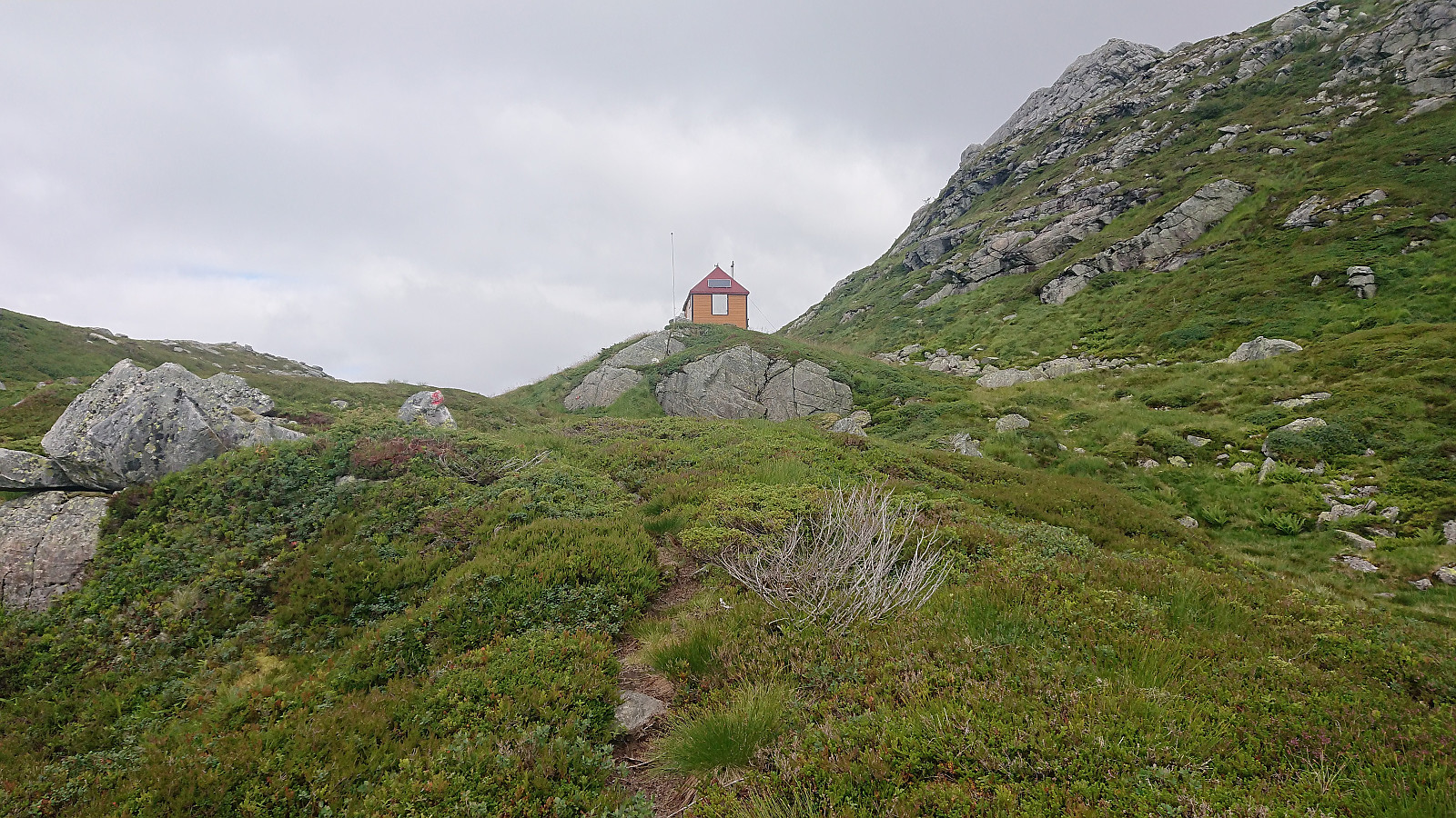
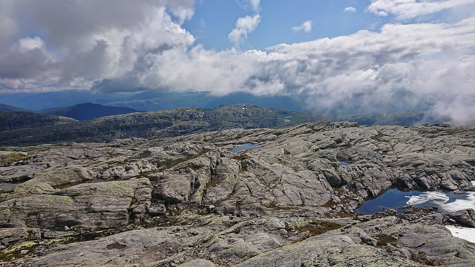
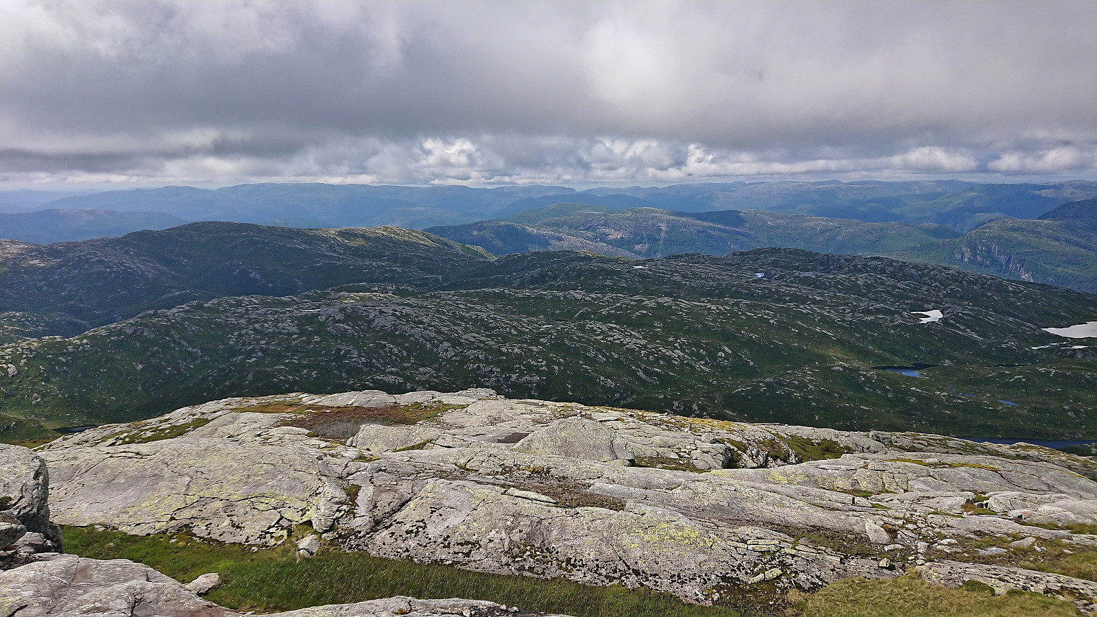
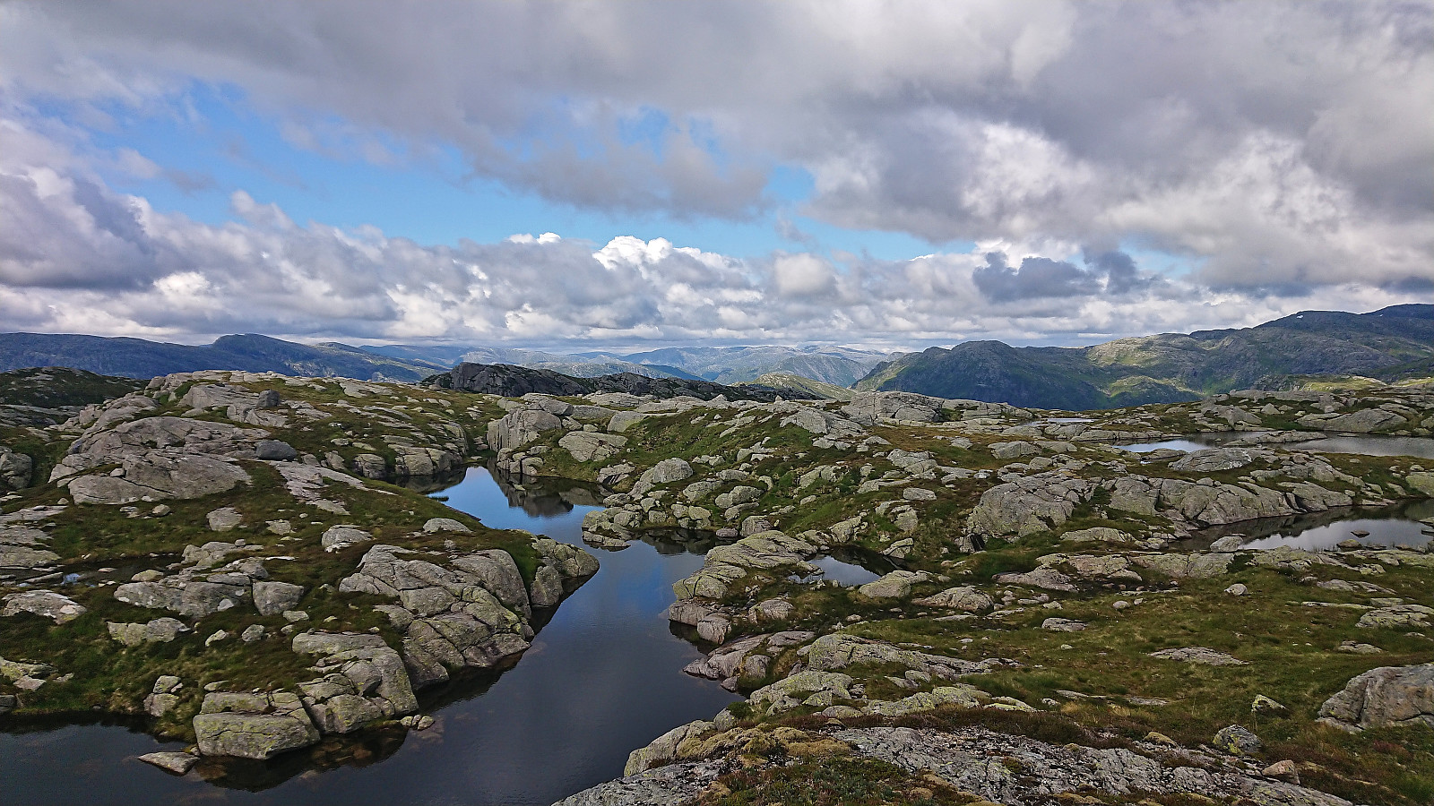
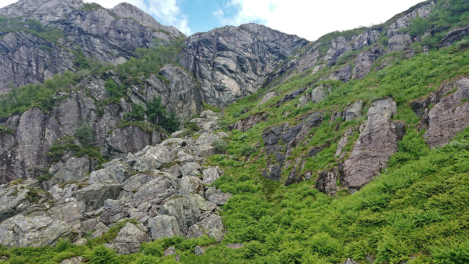
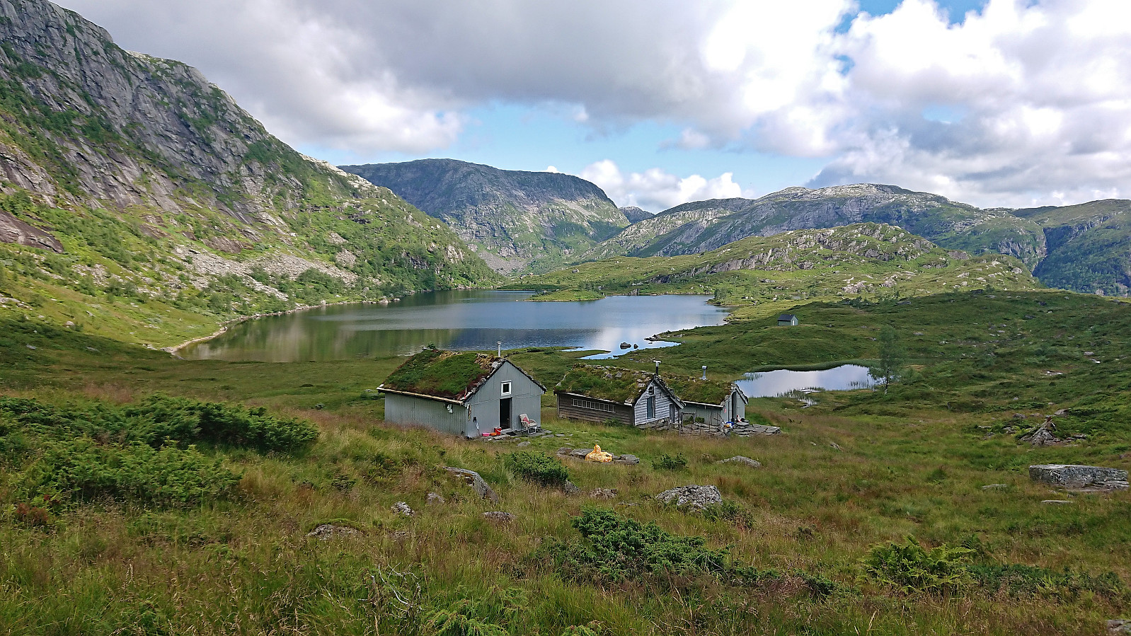
When the tractor road ended northeast of Træsvatnet I crossed the wooden bridge and continued along the marked trail up to Gavvatnet, where I was rewarded with excellent views back down the valley, before following the trail around the lake to Gavvasstølen. According to the map, the trail here continues east via the cabins before turning north up Øvredalen. At the first cabin I however noticed a marked trail heading directly north and concluded that maybe this was the preferred route in order to avoid hikers getting too close to the cabins and decided to give it a go.
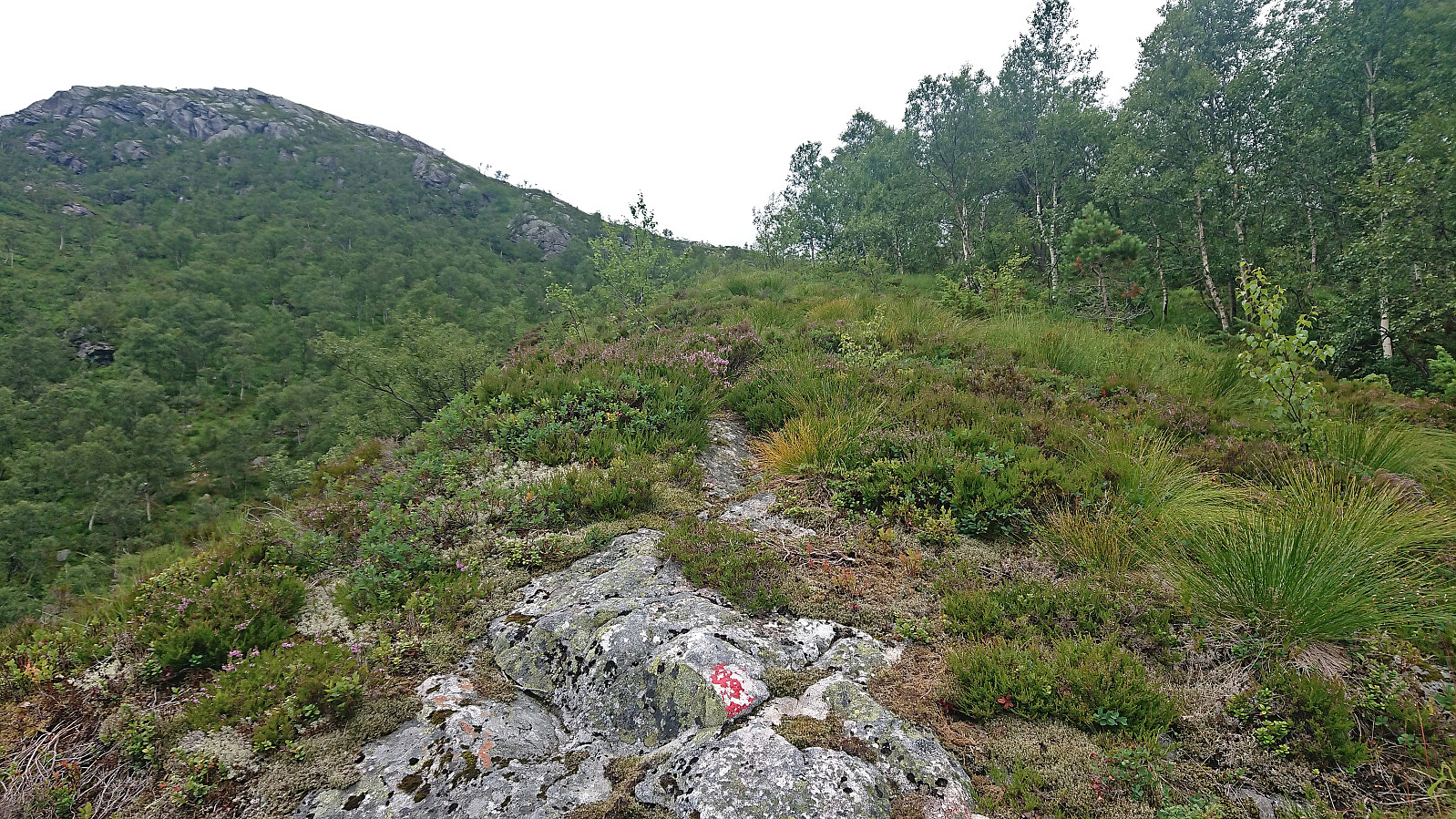
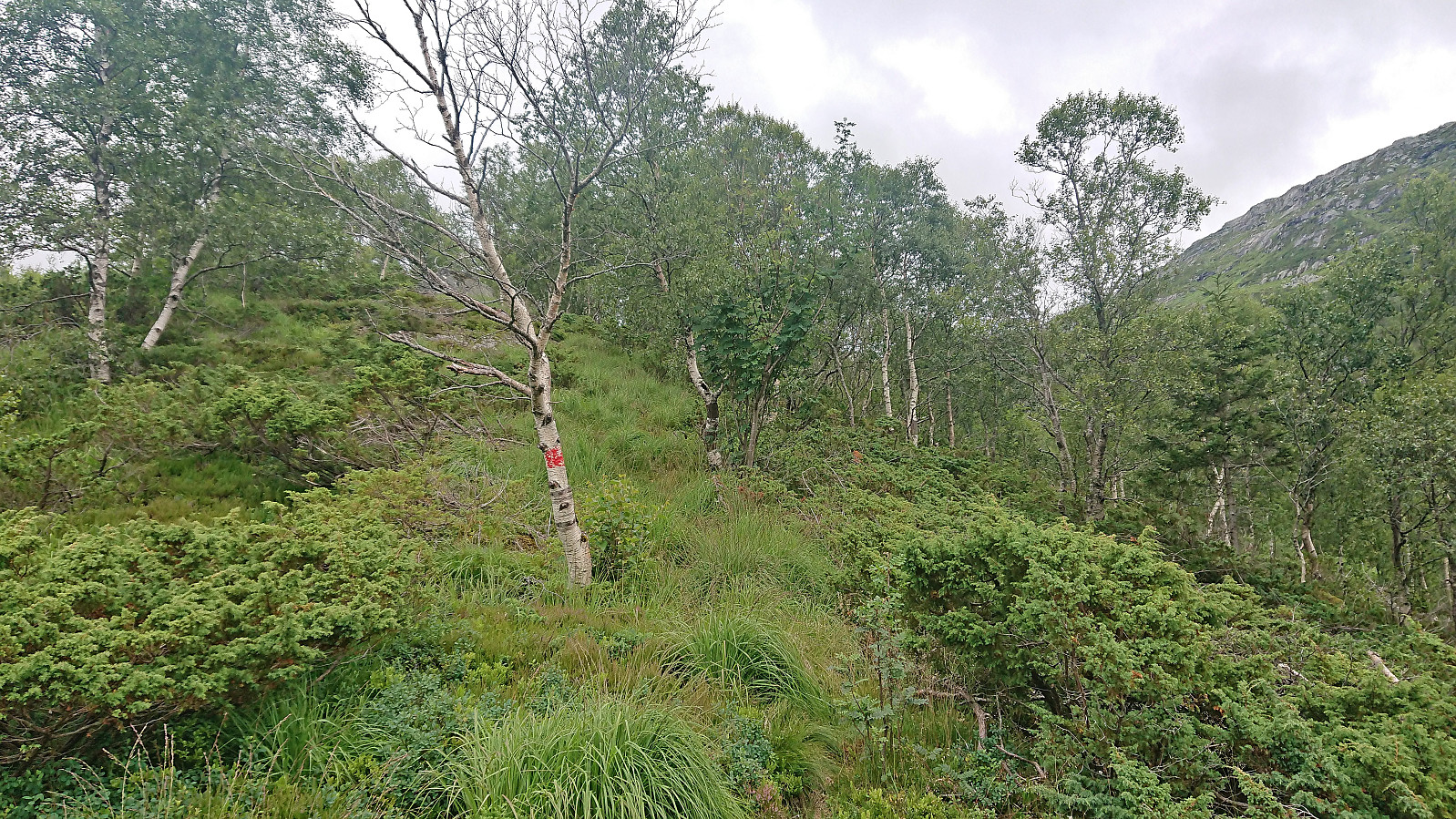
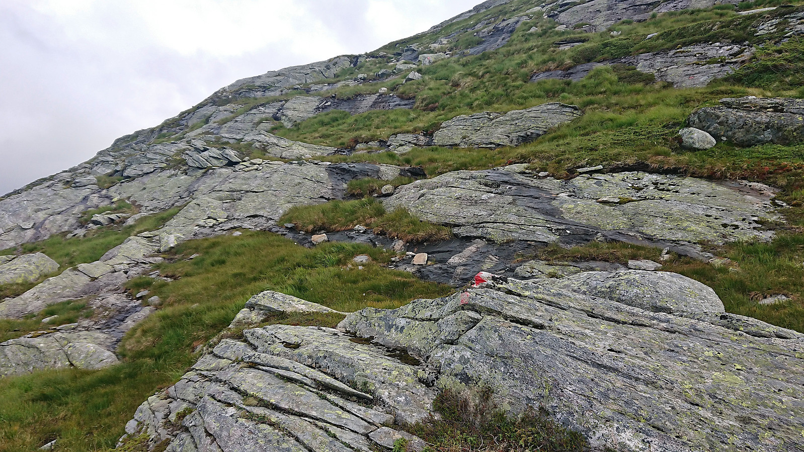
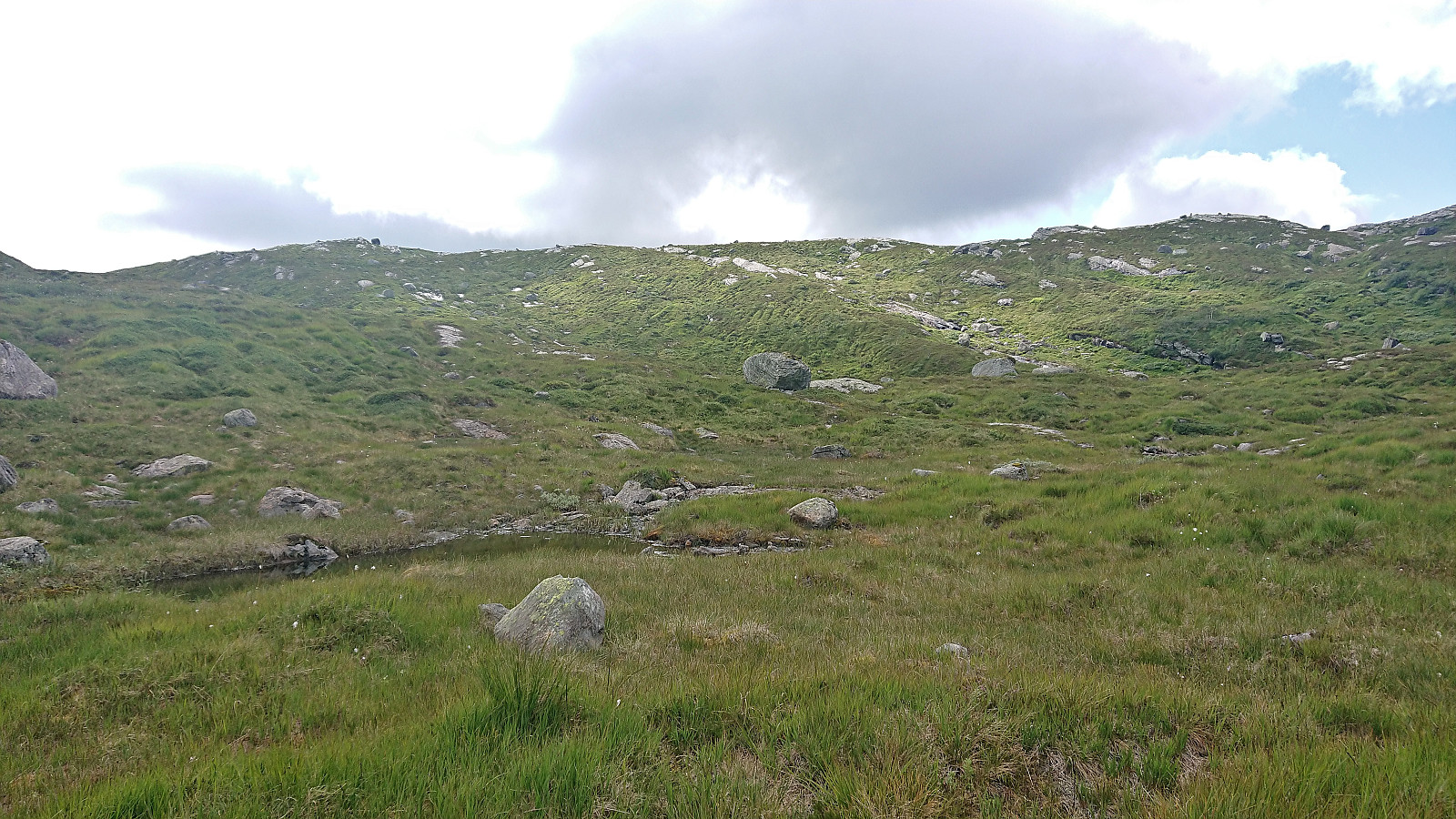
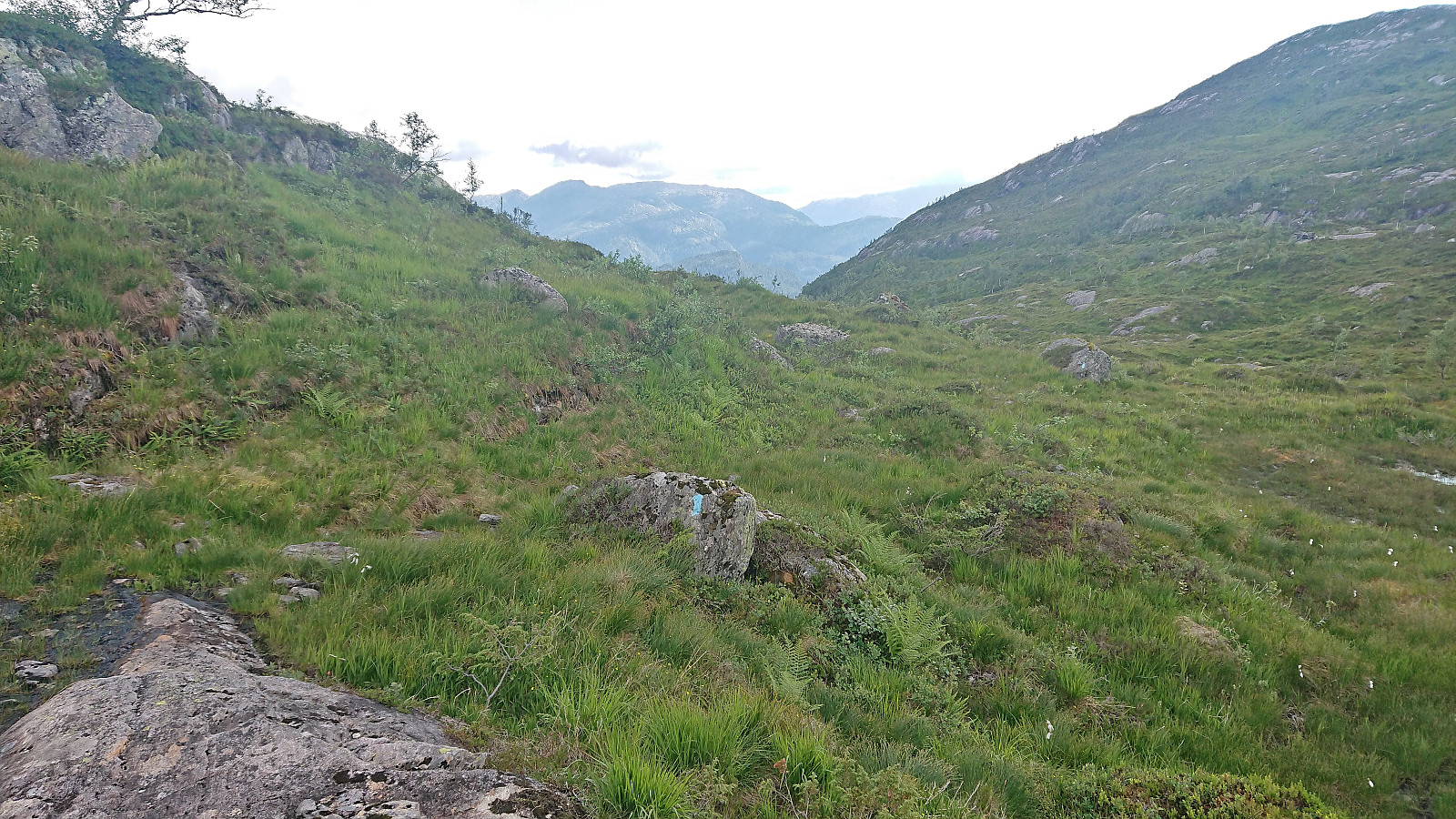
The trail was quite weak but the red markers still made it relatively easy to follow. But when it later started to turn northwest into Nerdalen I gave up and instead headed off-trail towards the trail indicated on the map. I soon connected with the other marked trail, which is most likely the preferred route to Storfjella after all, and shortly arrived at Haldorhytta. From there I could more or less follow a marked trail all the way to Vetlevarden, although the trail itself was weak at best and the next trail marker not always easy to spot. And it also did not help that the marked trail deviated quite a lot from the one indicated on the map.
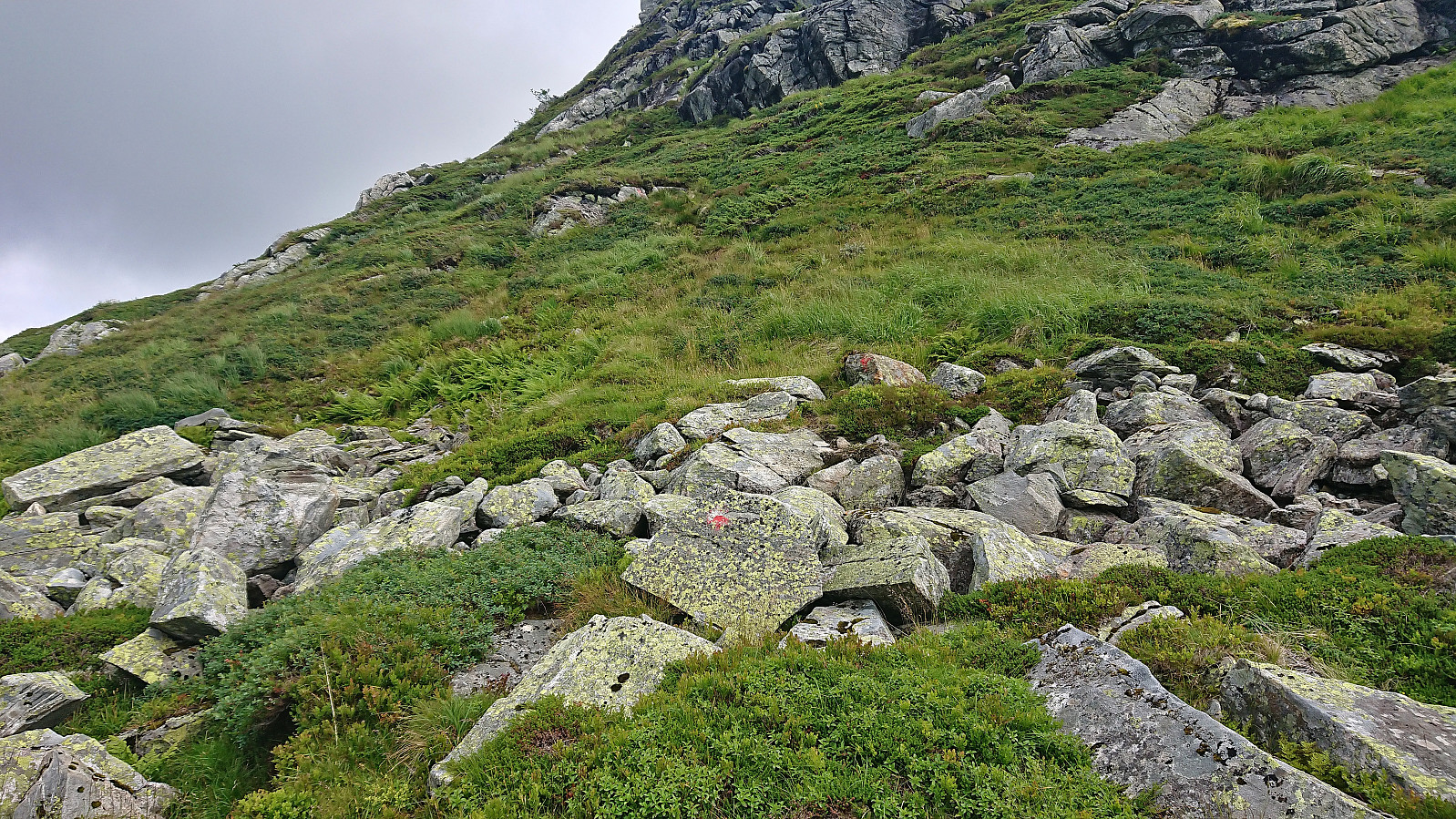
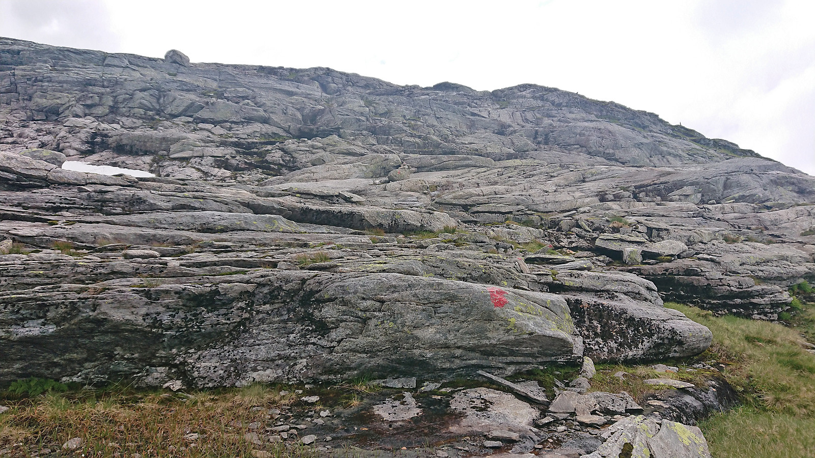
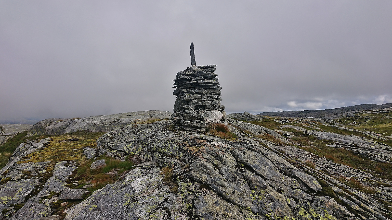
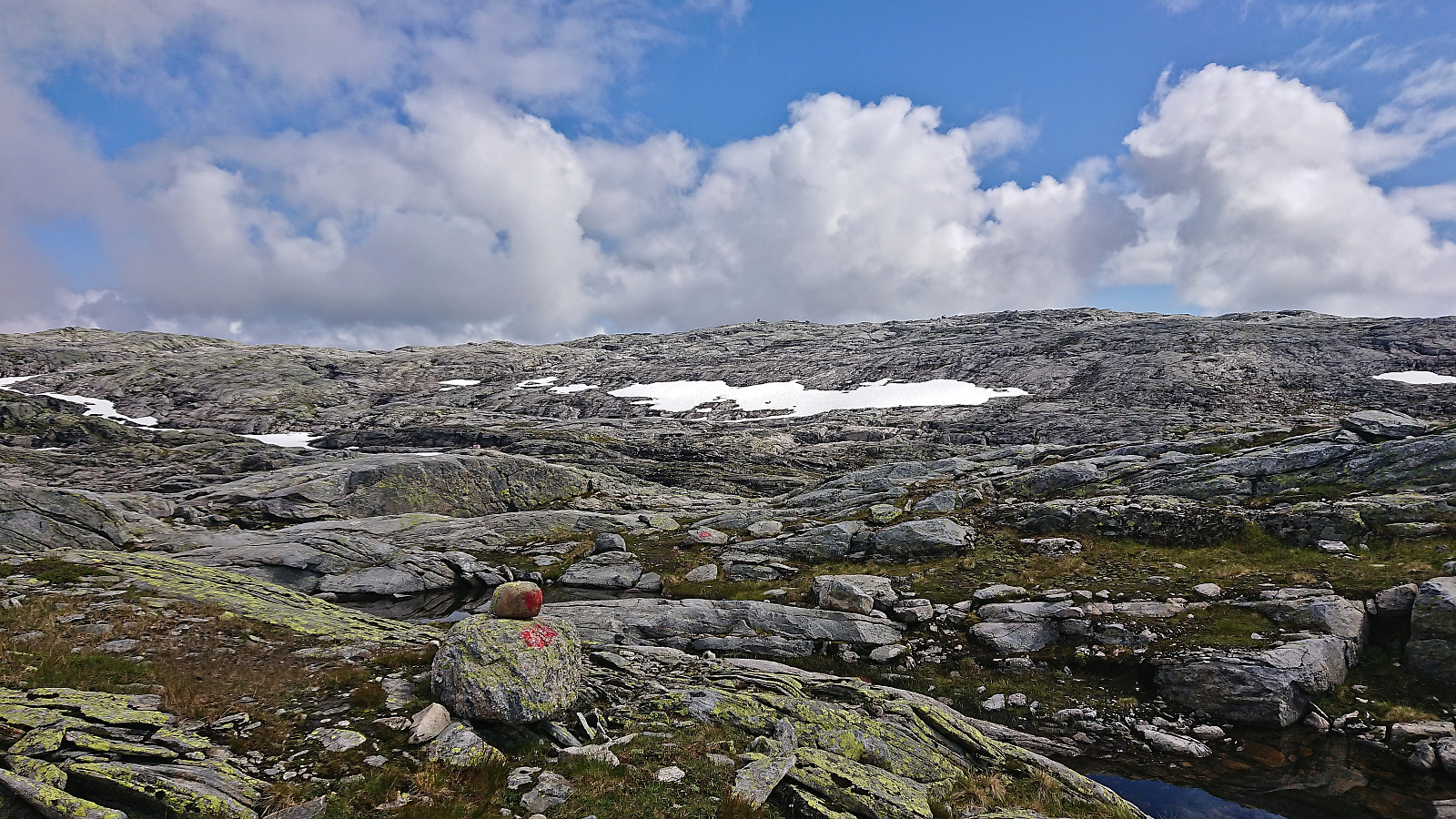
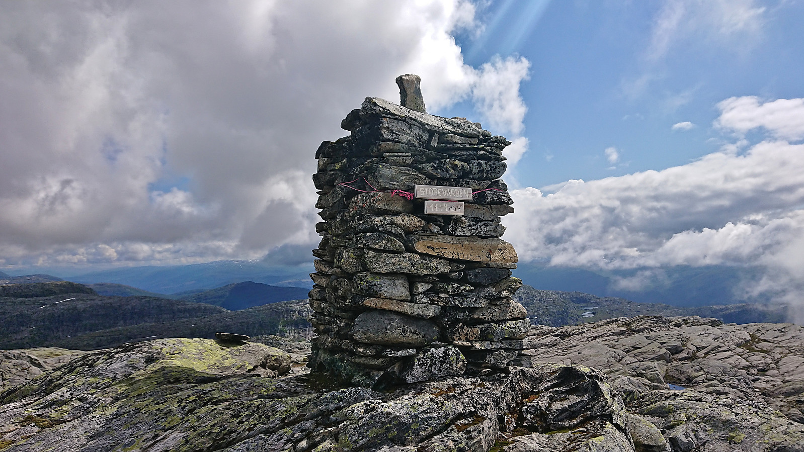
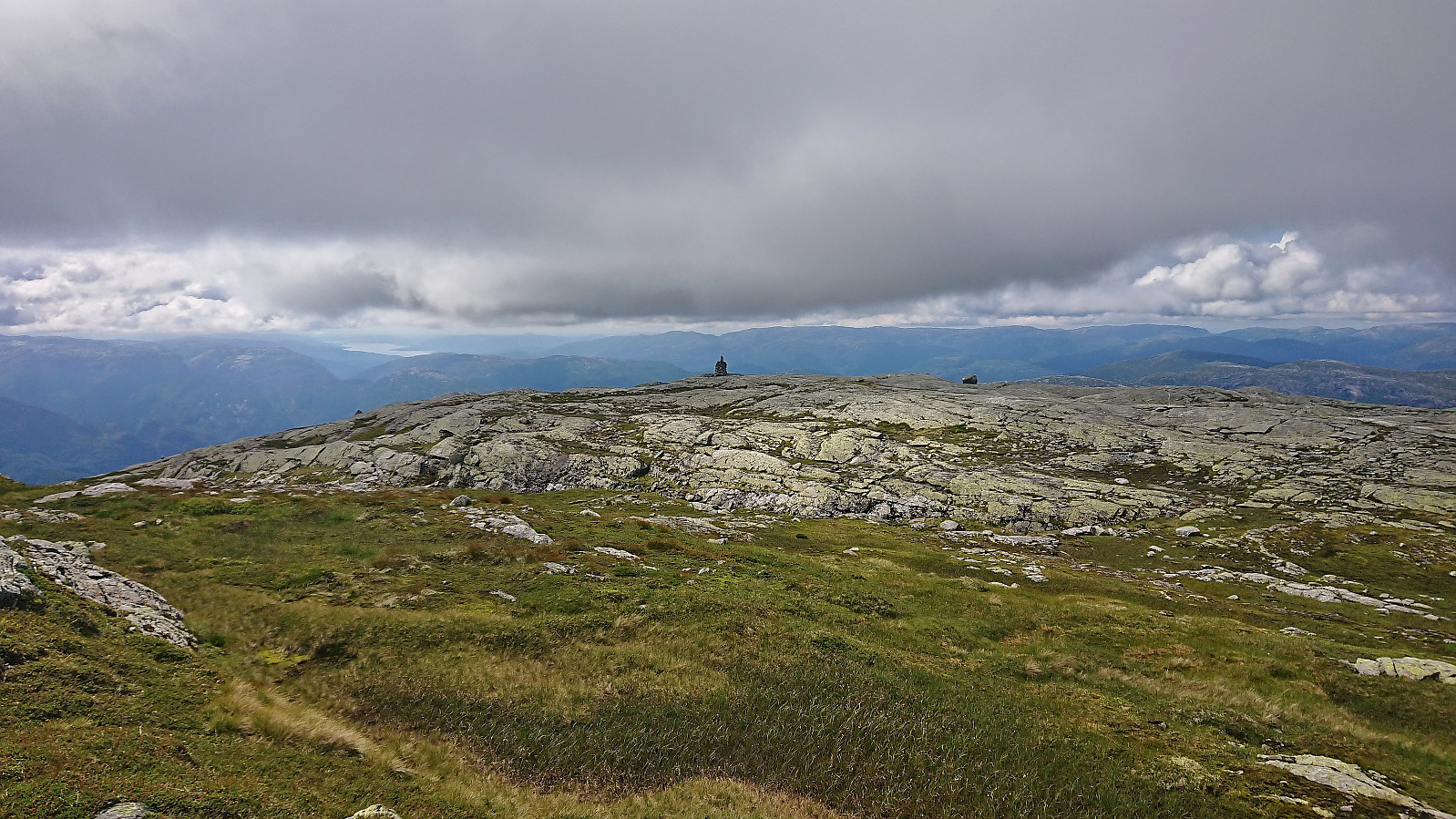
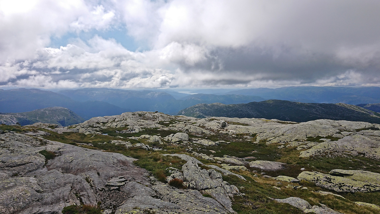
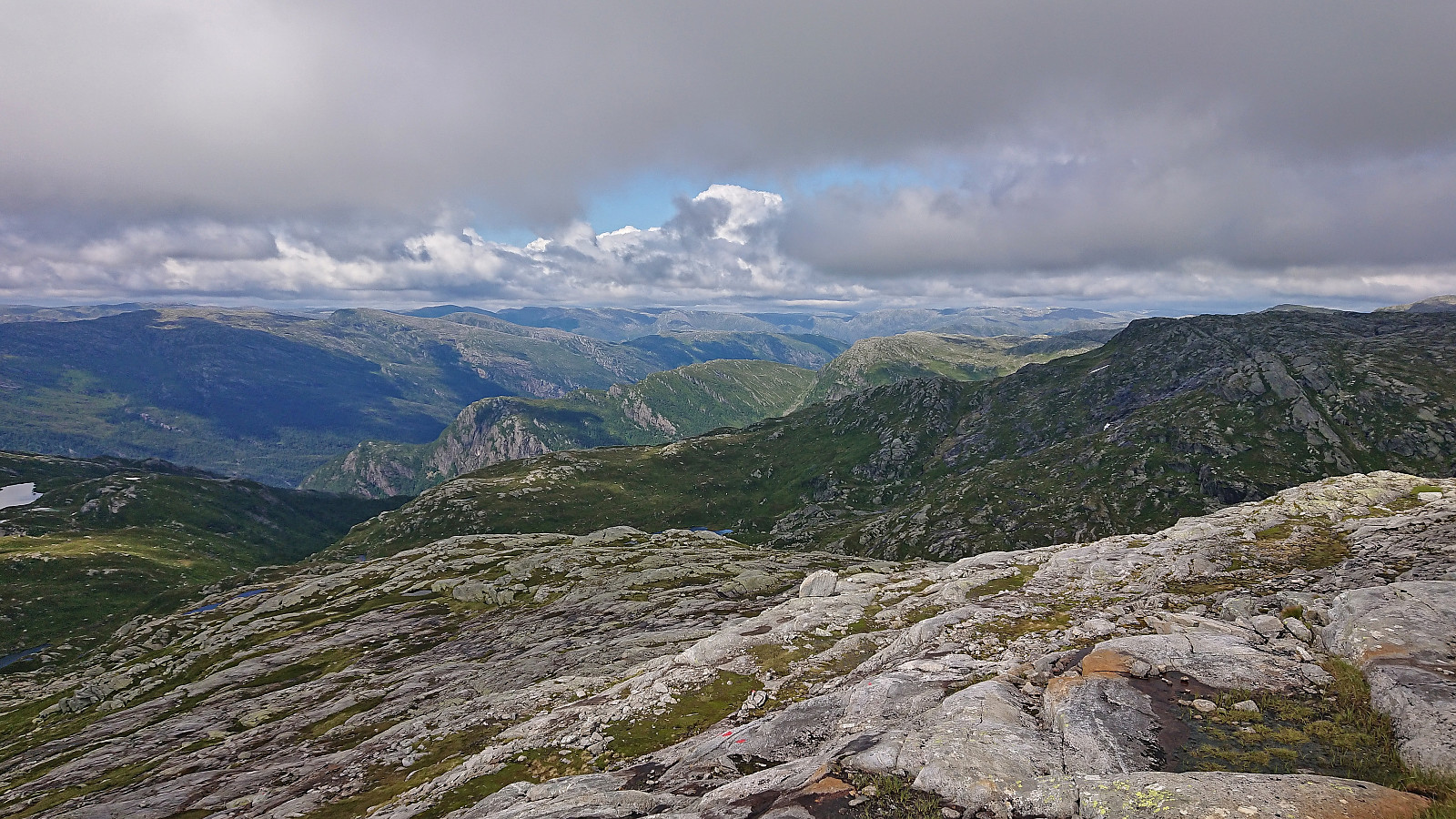
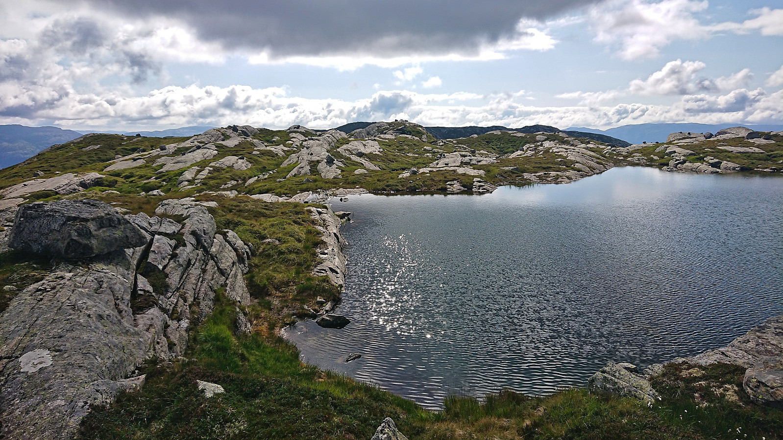
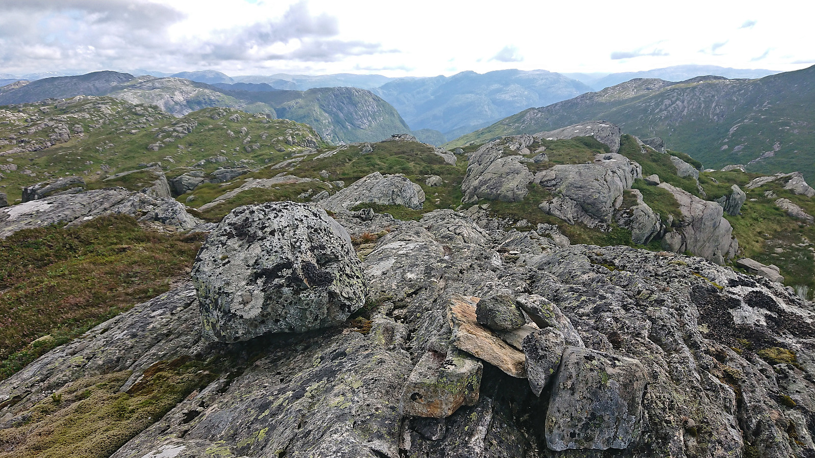
At Vetlevarden I could finally spot the summit of Storfjella, often referred to as Storevarden or Storvarden, in the distance. The red trail markers continued all the way to the summit, but again the markers were often hard to find and once more the markers did not align all that well with the trail shown on the map. I therefore ended up losing the markers when navigating around the 1028 lake, see the return track for the correct route, but relocated them on the other side and could follow them all the way to the large summit cairn.
Despite the large cairn, I was not fully convinced that the cairn was in fact the highest point though and ended up also visiting the most likely alternative candidates before returning to the marked trail and starting my descent. This time I managed to more or less follow the makers all the way back to Vetlevarden.
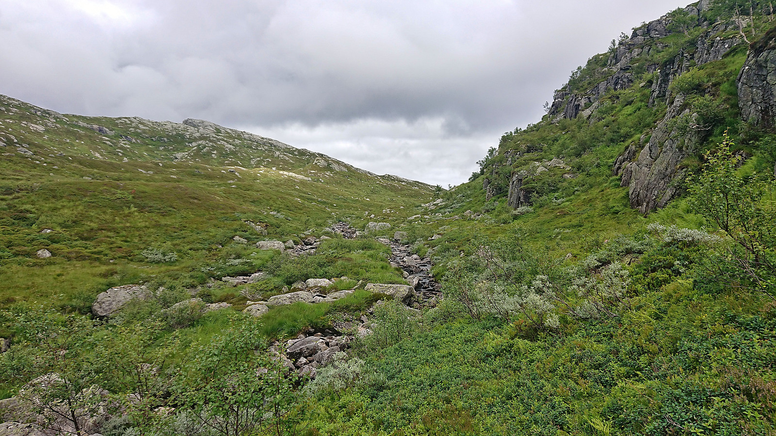
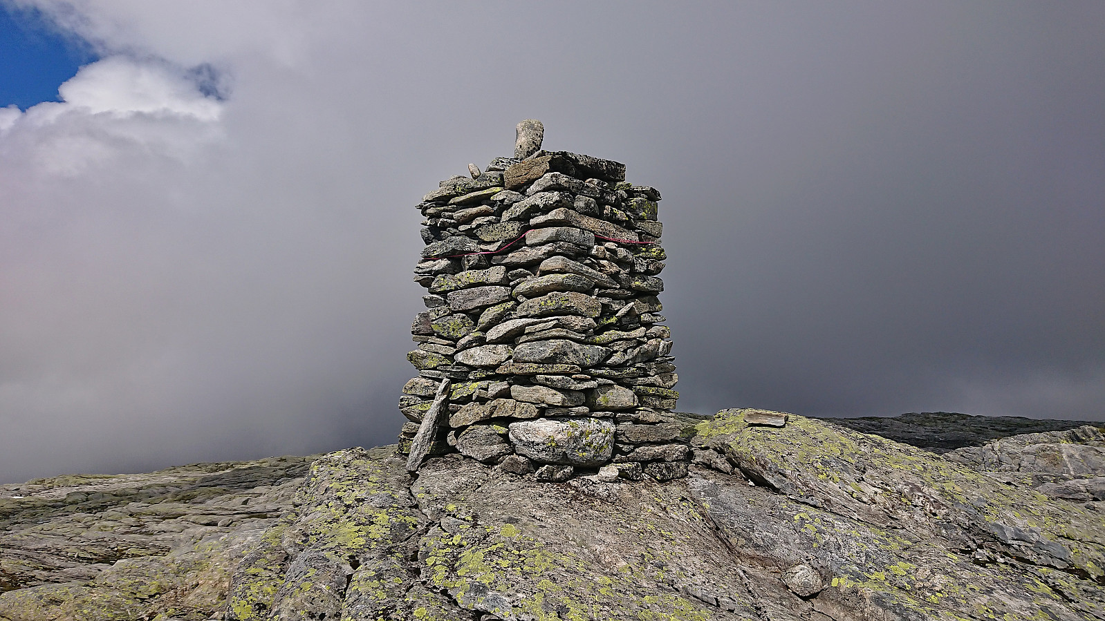
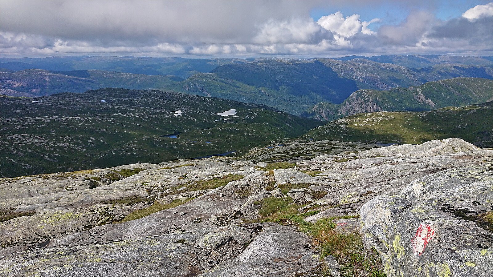
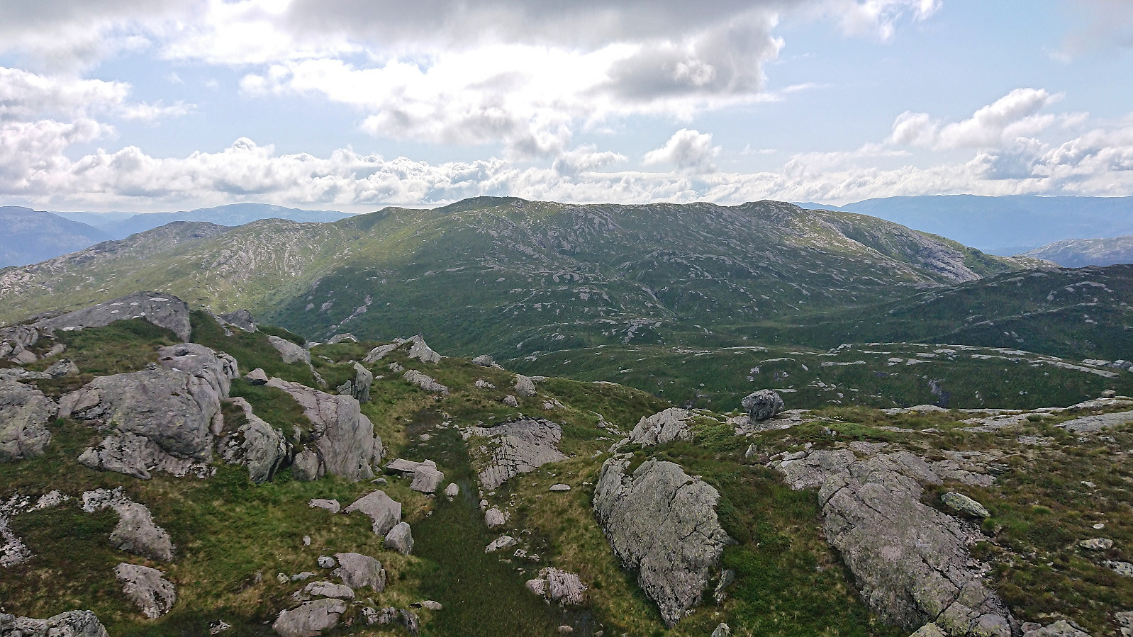
At Vetlevarden I had two choices: either head northwest into Nerdalen and start my ascent towards Geitafjella from north of the 688 lake, or return southwest and ascend from there. I decided on the former and proceeded to descended off-trail to the 688 lake without any issues. From there, the ascent to the summit was straightforward. Several alternative summits here as well, but I had done my homework and was pretty confident that there was only one real option.
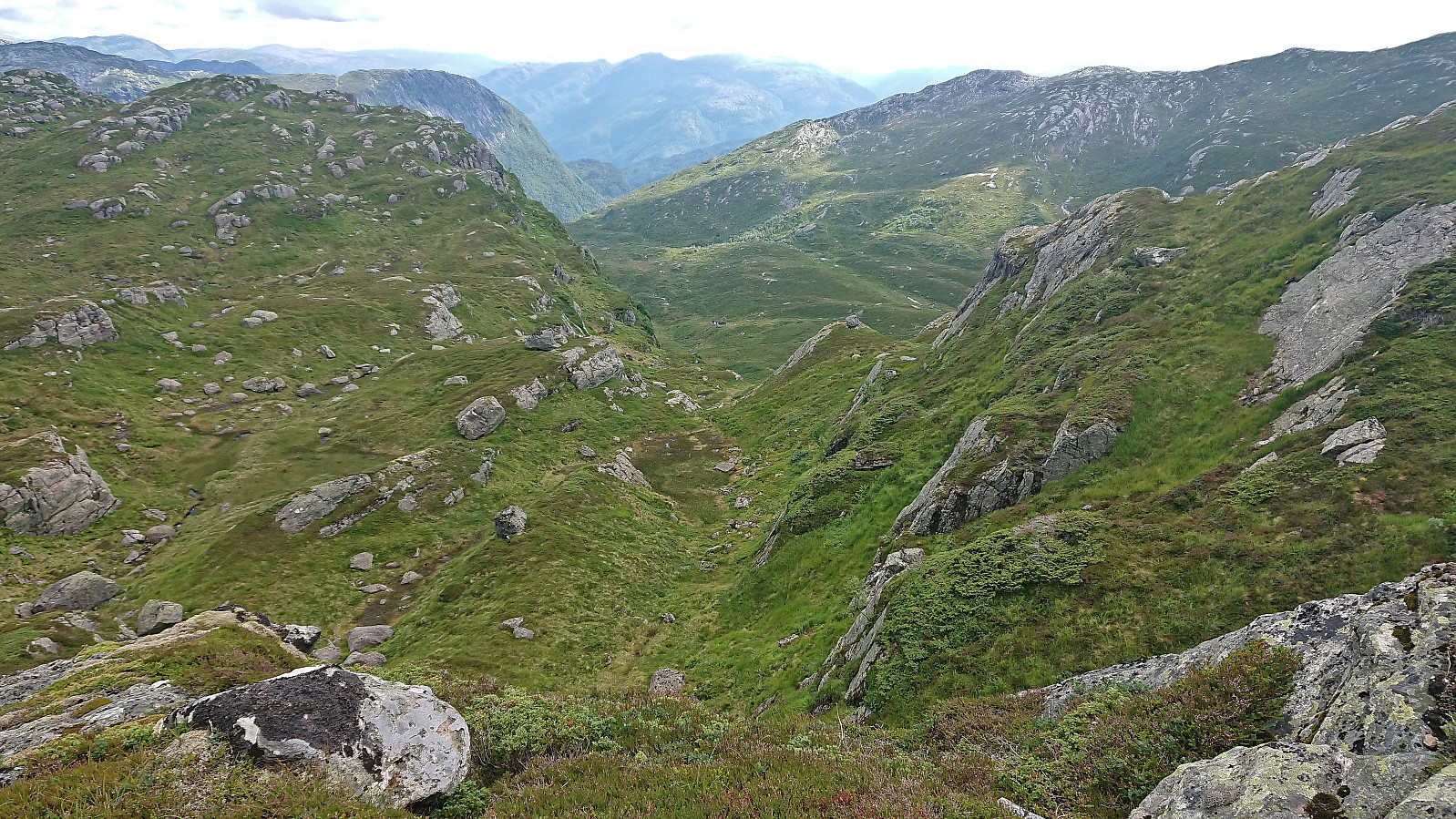
The descent from Geitafjella to Hesjedalsstølen required a bit of careful pathfinding to avoid the steepest areas but did not present any real challenges. Although I did not see any traces of the trail the map indicated in the valley north of Hesjedalsstølen and had to get all the way to Hesjedalsstølen before once again being on a proper trail.
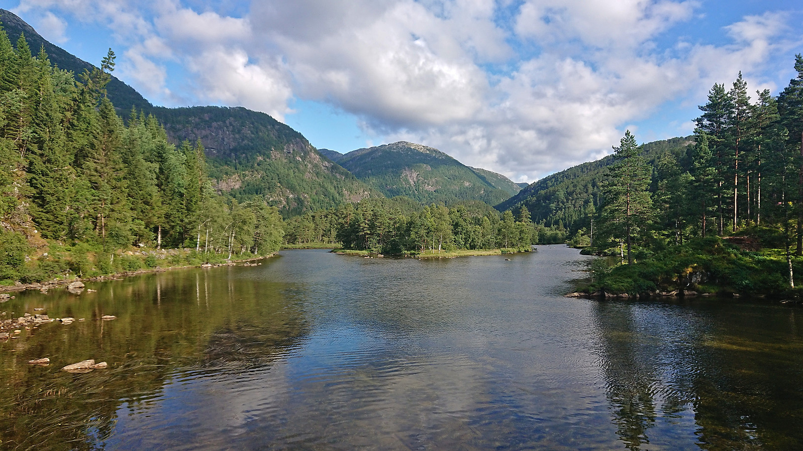
All that remained was then the return to Vikaneset for the bus and train back to Bergen. The steep trail down Brattbrekka was first used as a shortcut, before I retraced my steps from Dalastølen to Vikaneset, except for following the tractor road all the way to Øyane this time around.
To conclude, an excellent hike with great views that can be very highly recommended.


| Startzeitpunkt | 28.07.2023 09:40 (UTC+01:00 SZ) |
| Endzeitpunkt | 28.07.2023 18:53 (UTC+01:00 SZ) |
| Gesamtzeit | 9h 11min |
| Zeit in Bewegung | 8h 16min |
| Pausenzeit | 0h 55min |
| Gesamtschnitt | 2,9km/h |
| Bewegungsschnitt | 3,2km/h |
| Entfernung | 26,6km |
| Höhenmeter | 1.516m |


Benutzerkommentare
Kein Titel
Geschrieben von elbow 06.09.2025 23:46Hei, jeg var på Geitafjella i dag, men klarte ikke å bli enig med meg selv om hva som var høyeste punkt. Det ene punktet er i følge kotene mellom 811 og 812, mens det andre står merket på kartet med 811.5. Du nevner at du hadde gjort «hjemmeleksen» din på forhånd, kan du si noe mer om hvorfor du er trygg på at det ene punktet er høyere?
Sv:
Geschrieben von Trollfare 07.09.2025 00:03Jeg ser på norgeskart.no at punktet under nåværende toppnål er på 812.3 meter på det høyeste. Et lite punkt 150m nord er 811.6 og den som er merket med 811.5 er faktisk så høy som det står.
https://www.norgeskart.no/#!?project=norgeskart&layers=1001&zoom=18&lat=6765544.37&lon=303.83&markerLat=6765544.372497534&markerLon=303.83250826249565&p=searchOptionsPanel&sok=Dyragrova
Sv: Sv:
Geschrieben von elbow 07.09.2025 00:06Takk for info! Av en eller annen grunn kommer ikke de dataene opp i appen Norgeskart friluftsliv. Men da vet jeg at jeg skal sjekke norgeskart.no neste gang.
Re: Geitafjella
Geschrieben von hbar 07.09.2025 09:08Hei! Jeg hadde nok brukt samme framgangsmåte som Trollfare beskriver under (enten via norgeskart.no eller hoydedata.no), men siden den gang har Peakbagger kommet med mer nøyaktig data for alle PF100-toppene i Norge ved hjelp av en algoritme som benytter laserdataene fra hoydedata.no.
Du kan finne all informasjonen om hver topp på peakbagger.com eller via Peakbagger-appen, men jeg har allerede gått gjennom alle toppene på Hordalandslisten og korrigert høyde, PF og topplassering på Peakbook. (Merk at du må slette lagrede Peakbookelementer i appen for å få de nye dataene der.)
Jeg har også laget en liste over alle vesentlige endringer på Hordalandslisten. Kan gjerne sende deg denne om du er interessert? Bare vær klar over at det kanskje kan bli noen strafferunder til topper du trodde du hadde besøkt... ;)