
Høgenoltane from Urdland via Remlo (01.07.2023)

Geschrieben von hbar (Harald Barsnes)

| Startpunkt | Urdland stasjon (305m) |
|---|---|
| Endpunkt | Urdland stasjon (305m) |
| Tourcharakter | Bergtour |
| Tourlänge | 4h 50min |
| Entfernung | 17,0km |
| Höhenmeter | 697m |
| GPS |
|
| Besteigungen | Høgenoltane (920m) | 01.07.2023 |
|---|---|---|
| Besuche anderer PBE | Fyrjavegen/Jonsstølsvegen (501m) | 01.07.2023 |
| Ospehaugen p-plass (510m) | 01.07.2023 | |
| Urdland stasjon (305m) | 01.07.2023 |
Høgenoltane from Urdland via Remlo
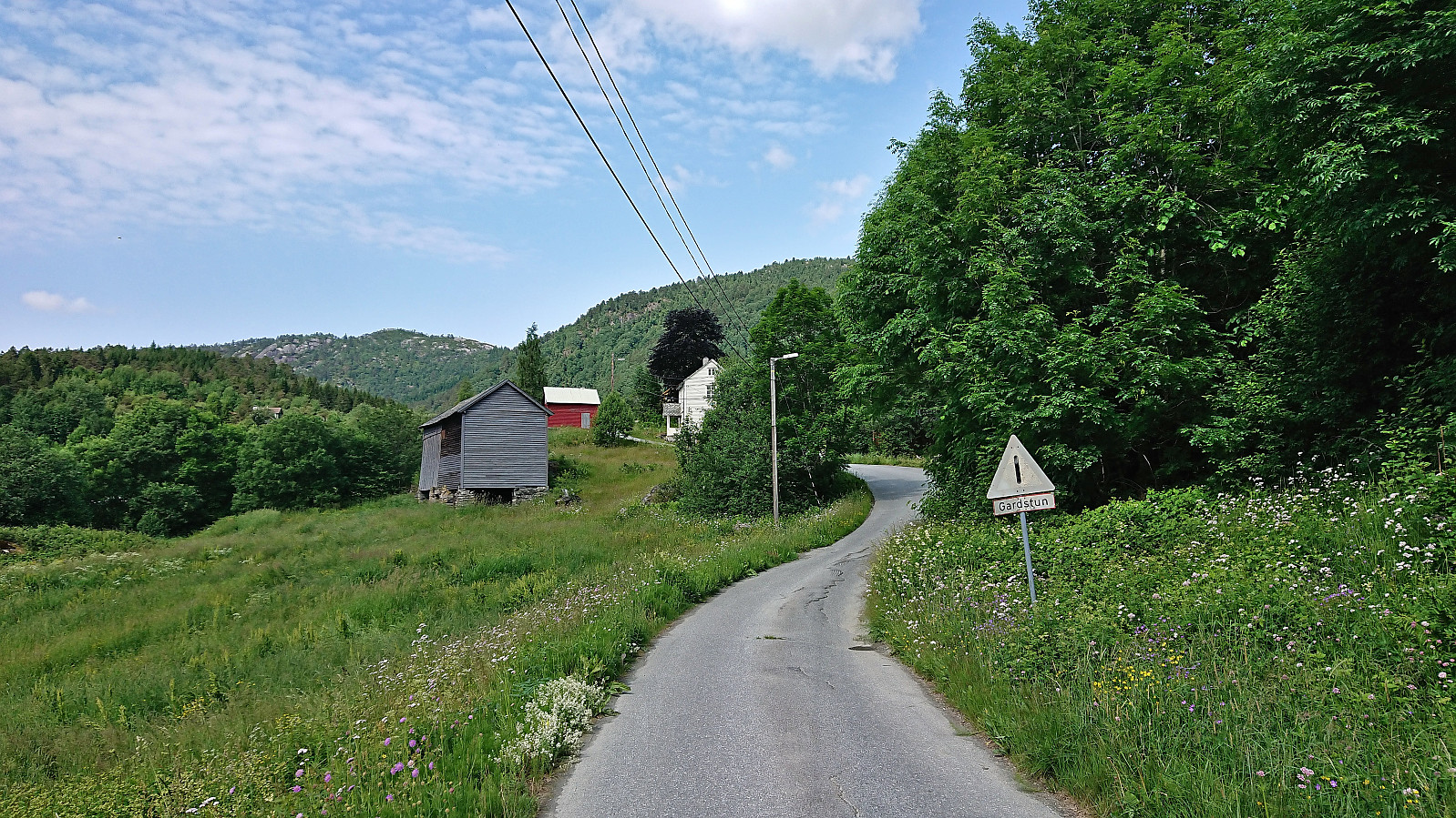
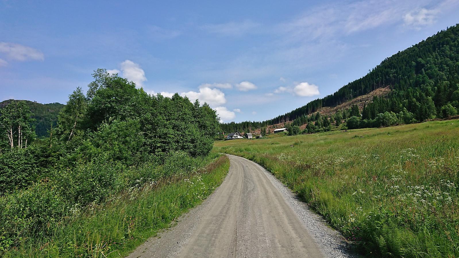
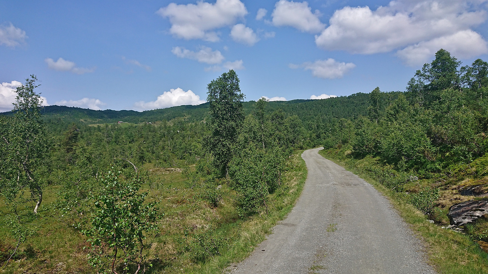
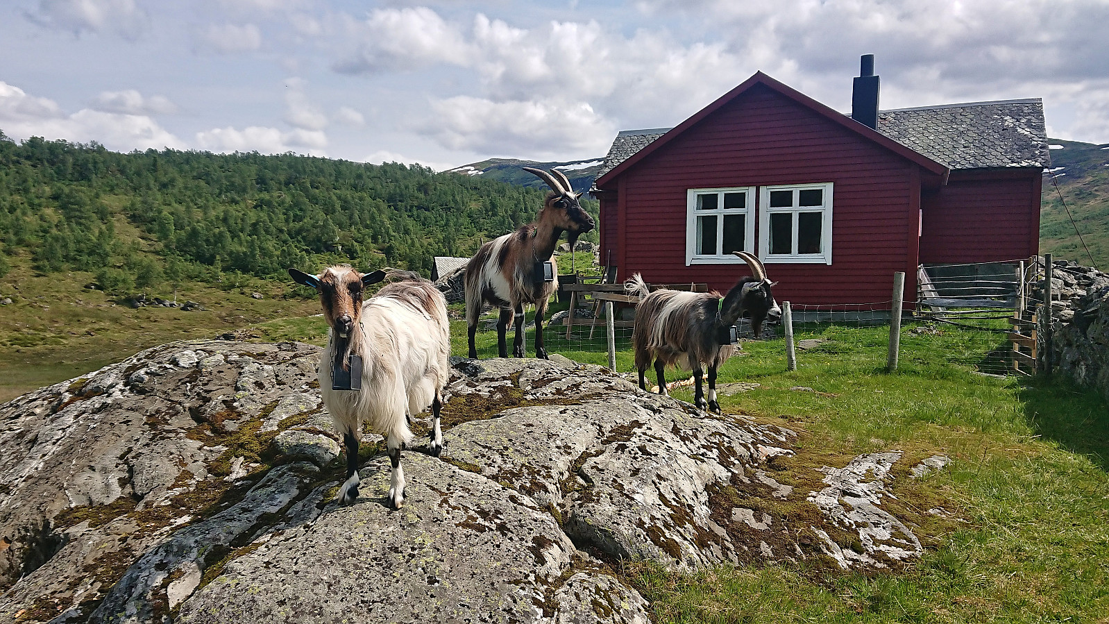
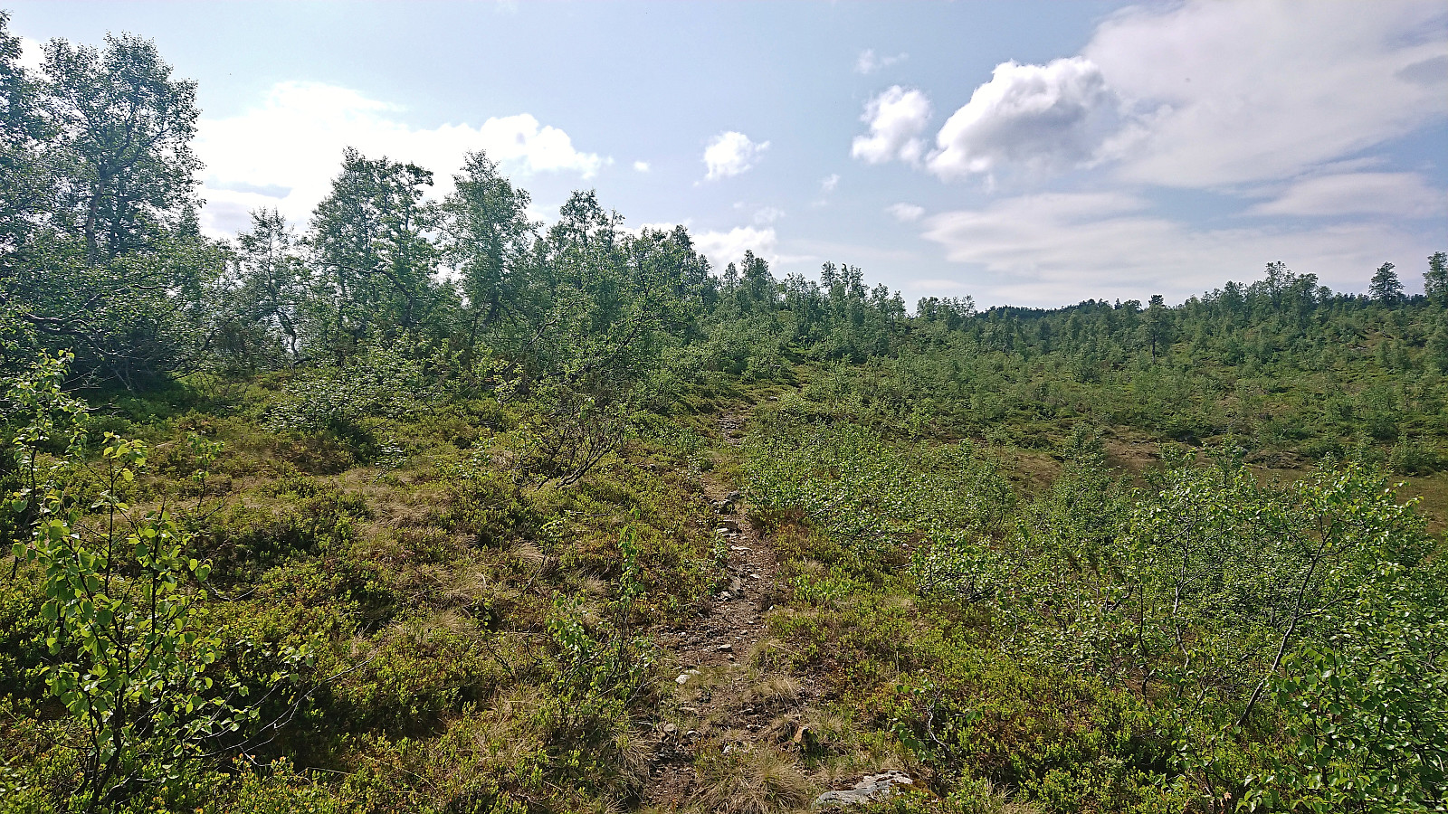
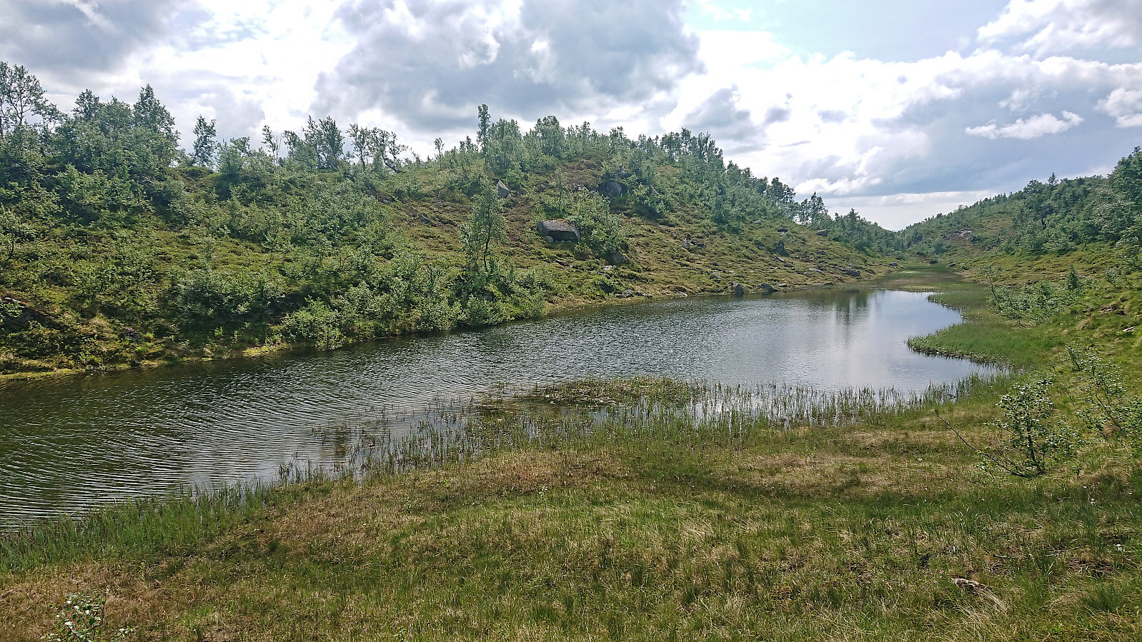
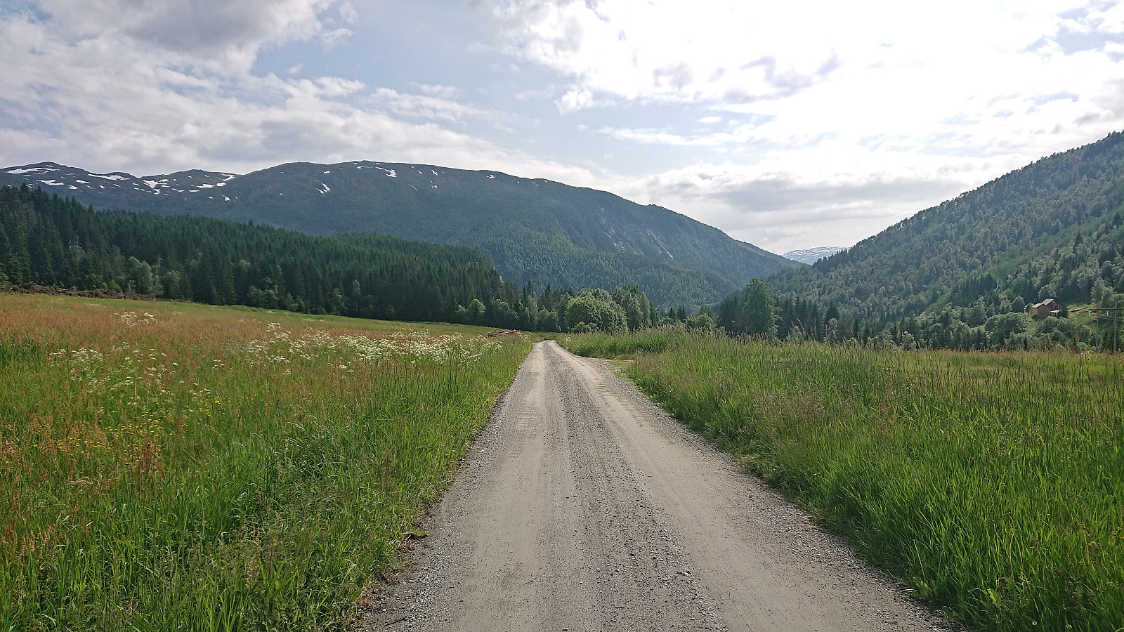
I started by taking the train to Urdland stasjon and from there followed the road west and then north up to Ospehaugen p-plass. In order to make the hike into a roundtrip I here forked right and continued north along the gravel road to Remlo where the map indicated a trail south to Fjosstølen. I struggled a bit to find the proper start of this trail, as there were a couple of fences that had to be crossed, but just as I was scouting for the best place to jump the fence I happened upon the local farmer who provided excellent pointers for where to locate the trail in question. Soon I was therefore on the so-called "buføringsvegen", i.e. the trail (at least historically) used to transfer cattle and sheep from/to the farms further down the valley.
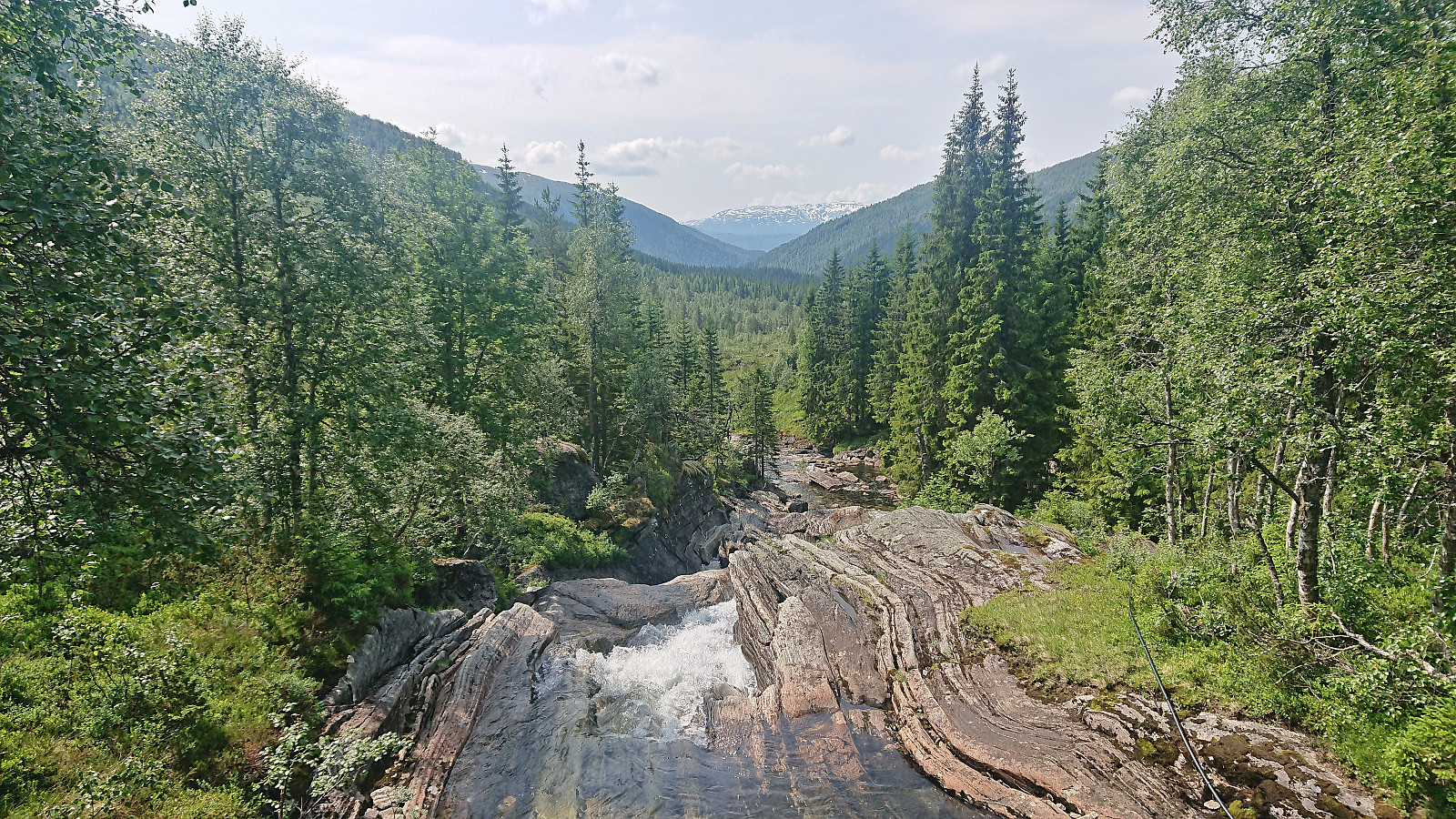
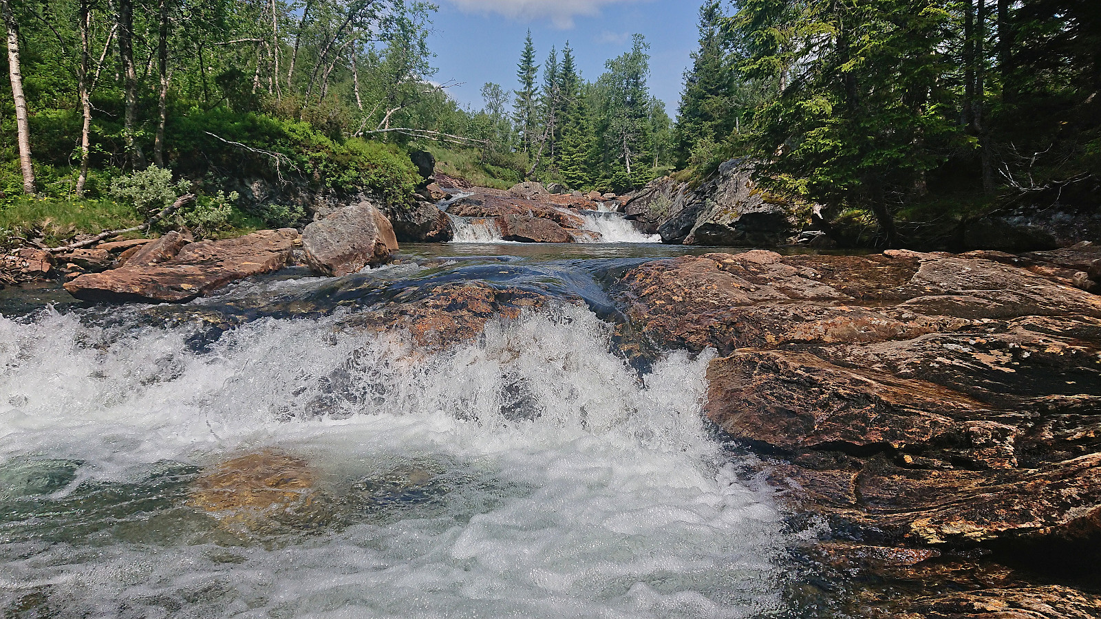
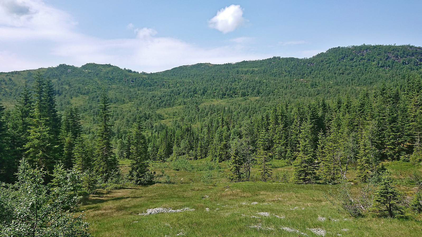
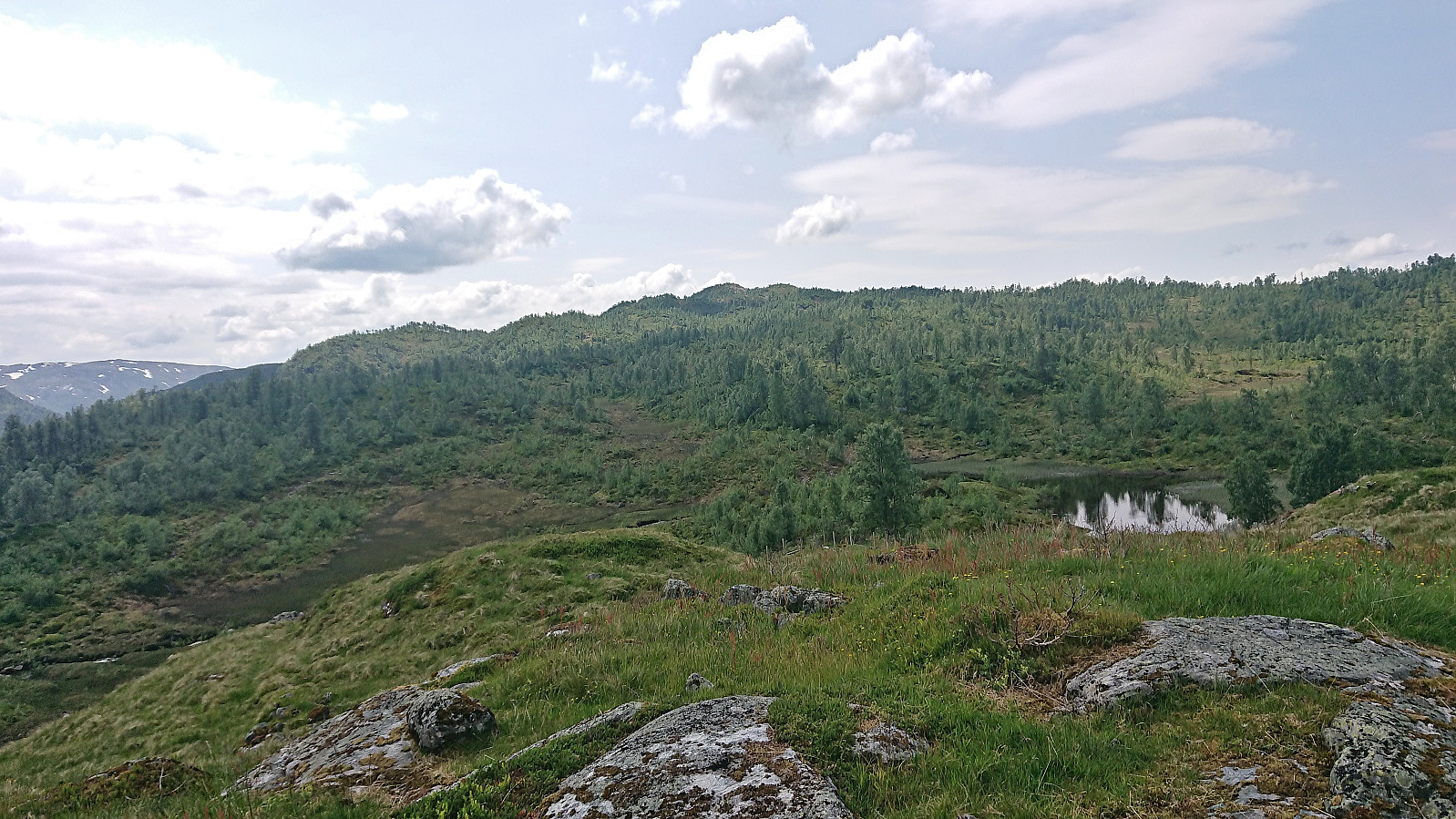
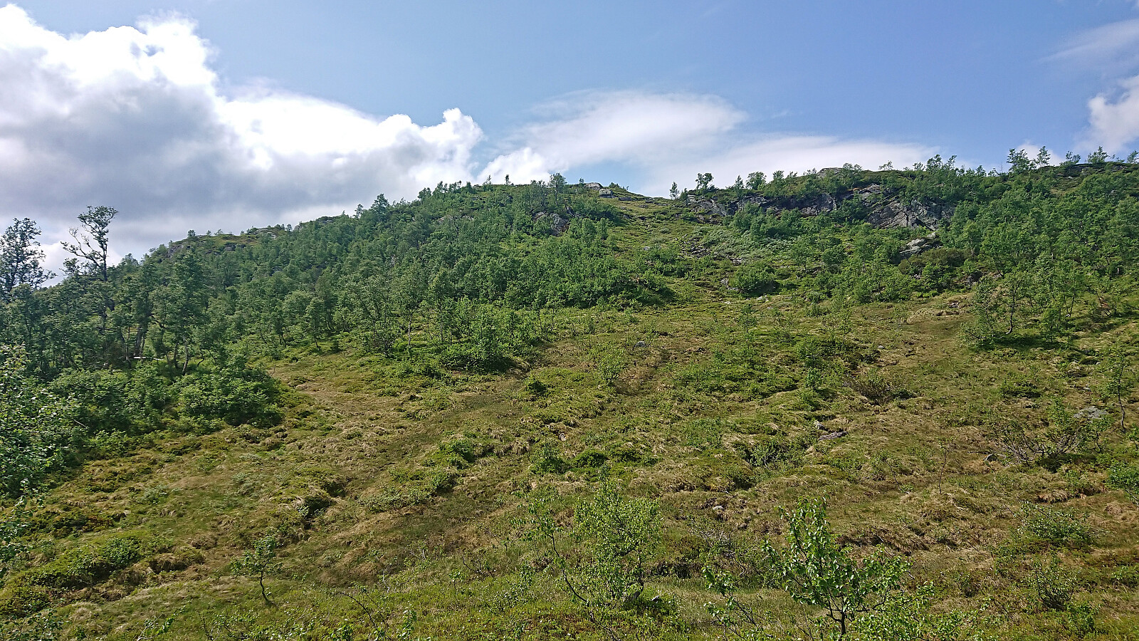
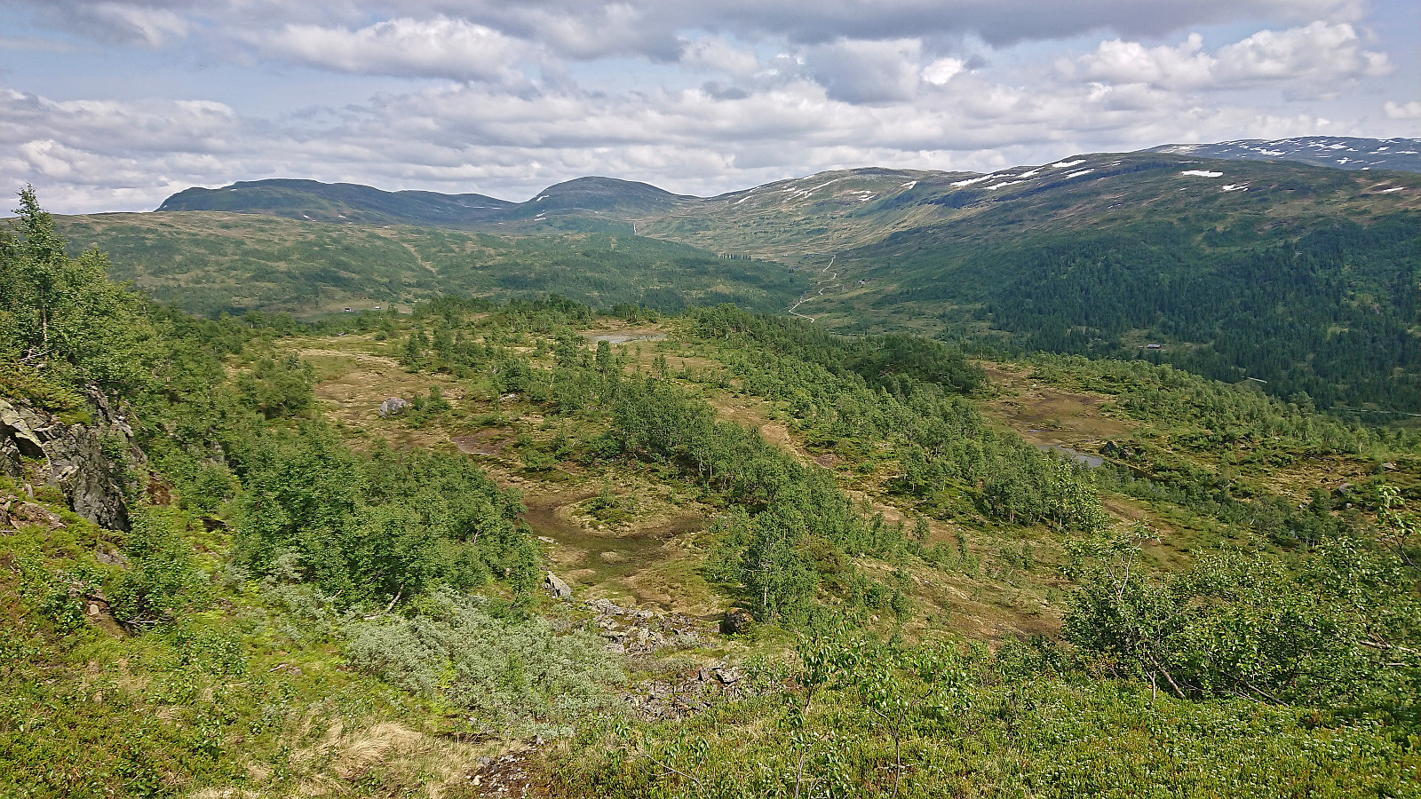
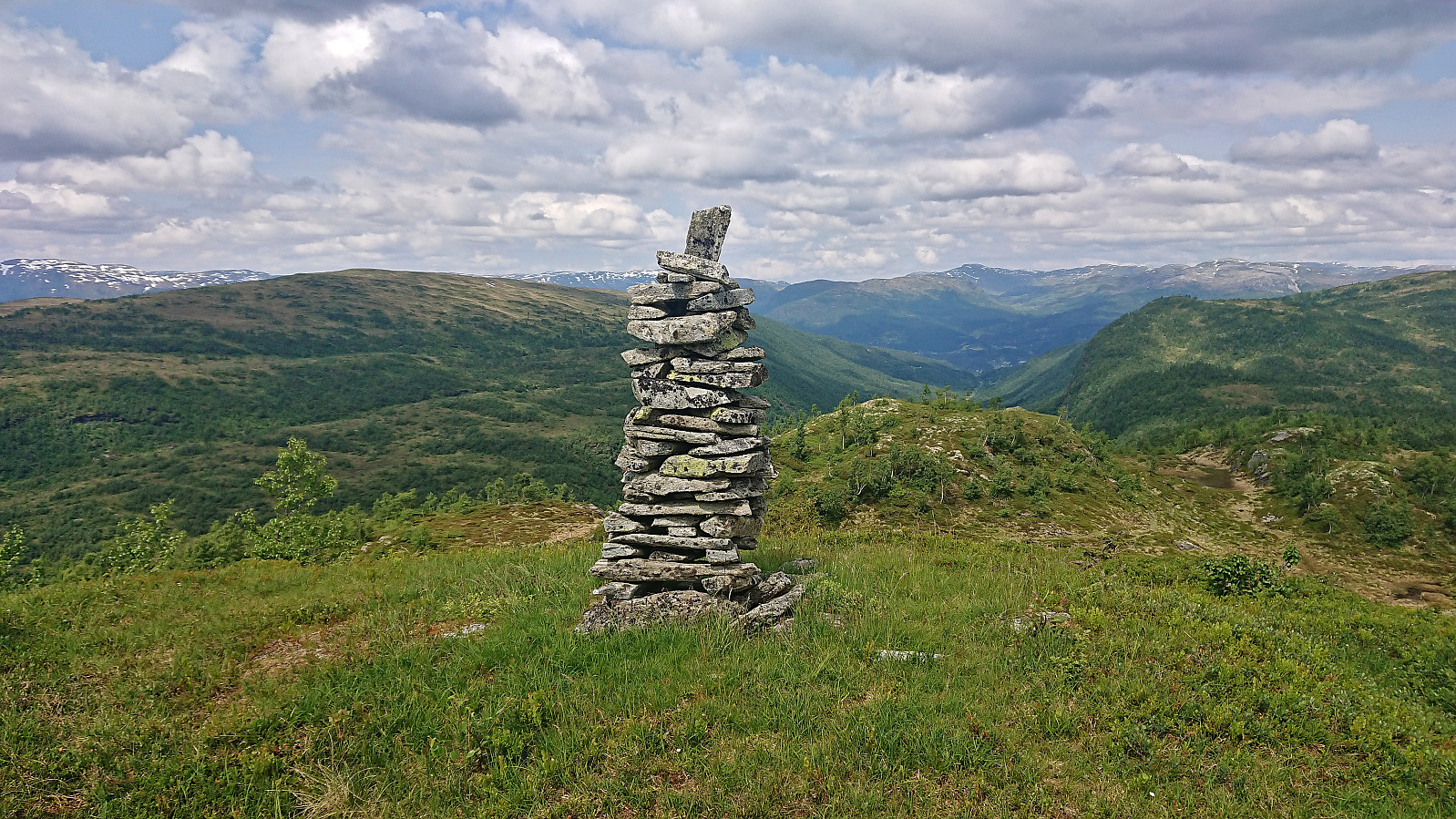
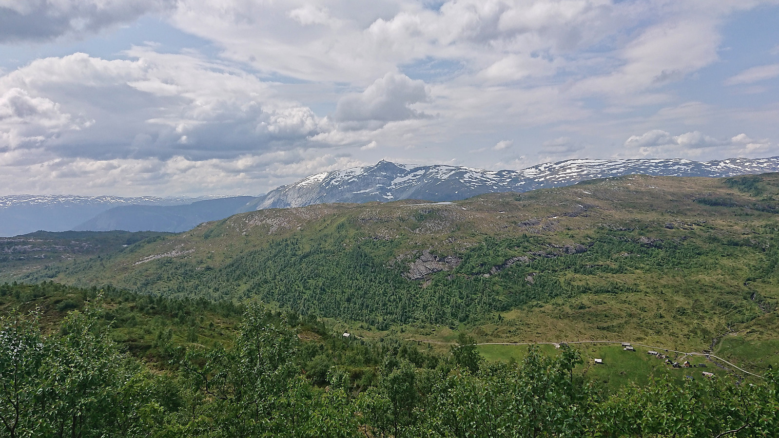
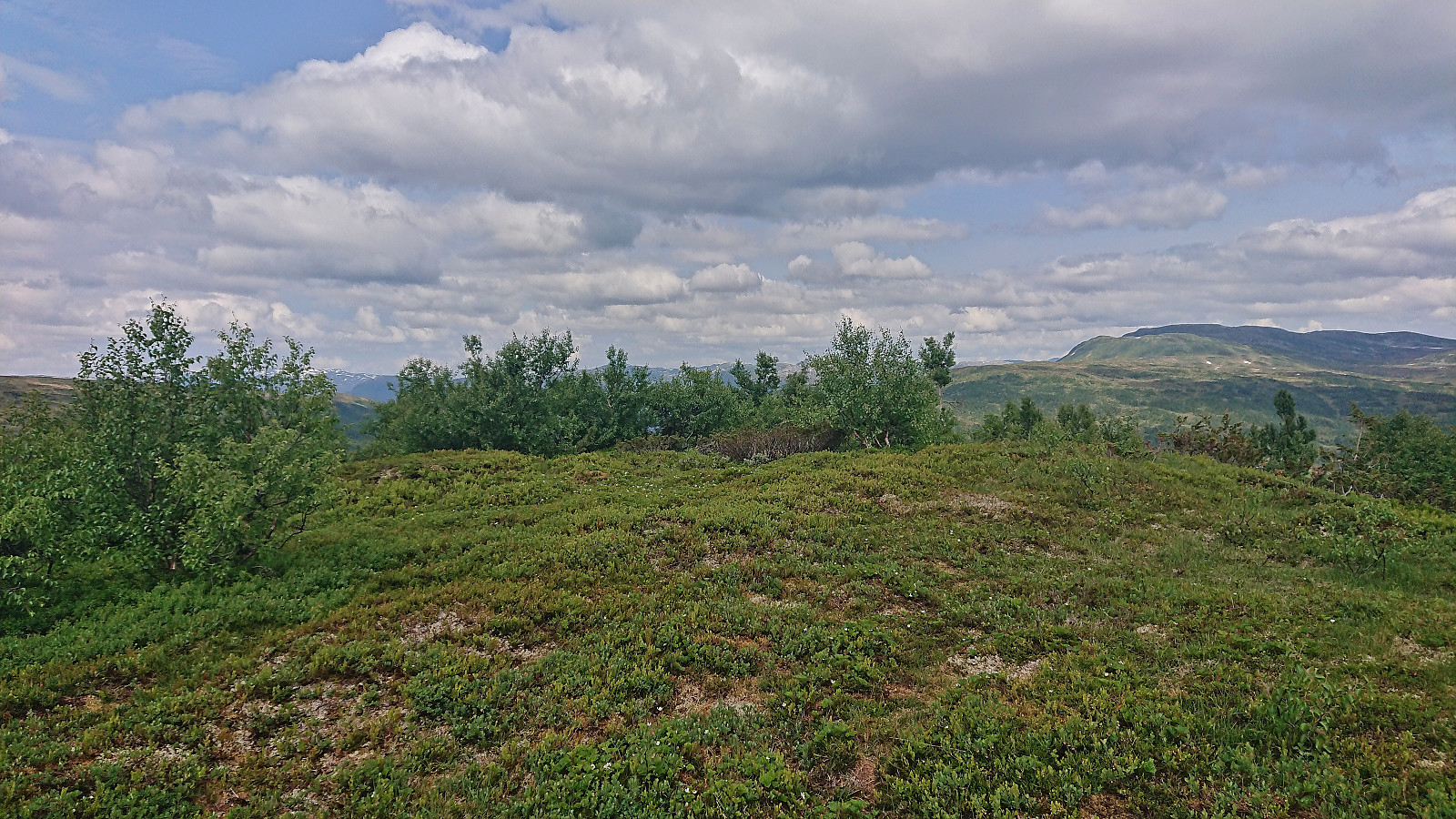
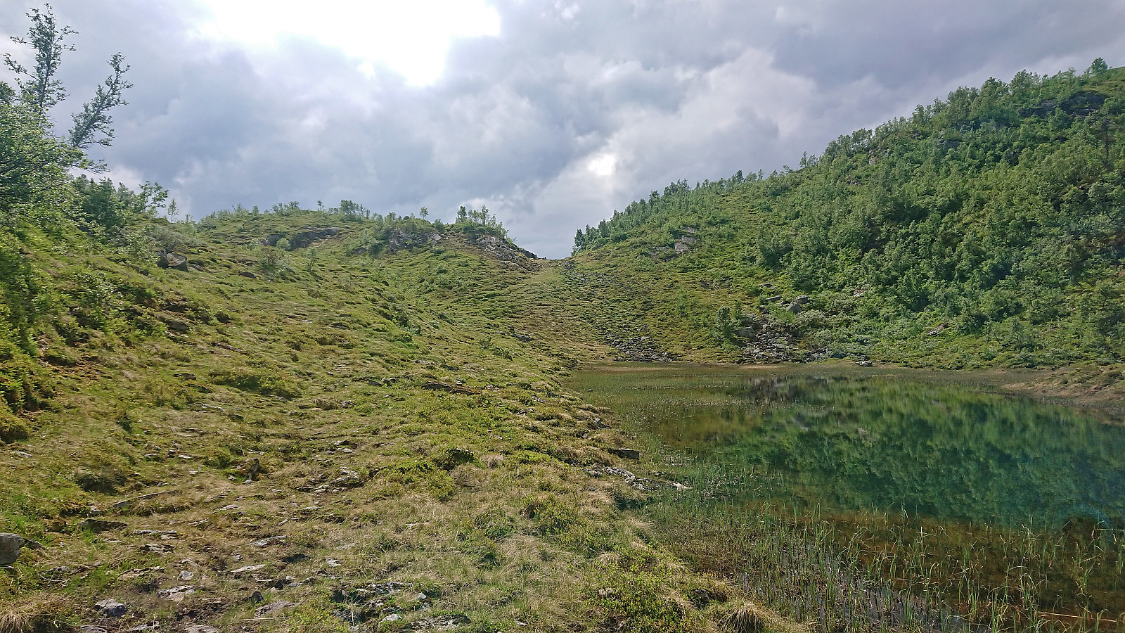
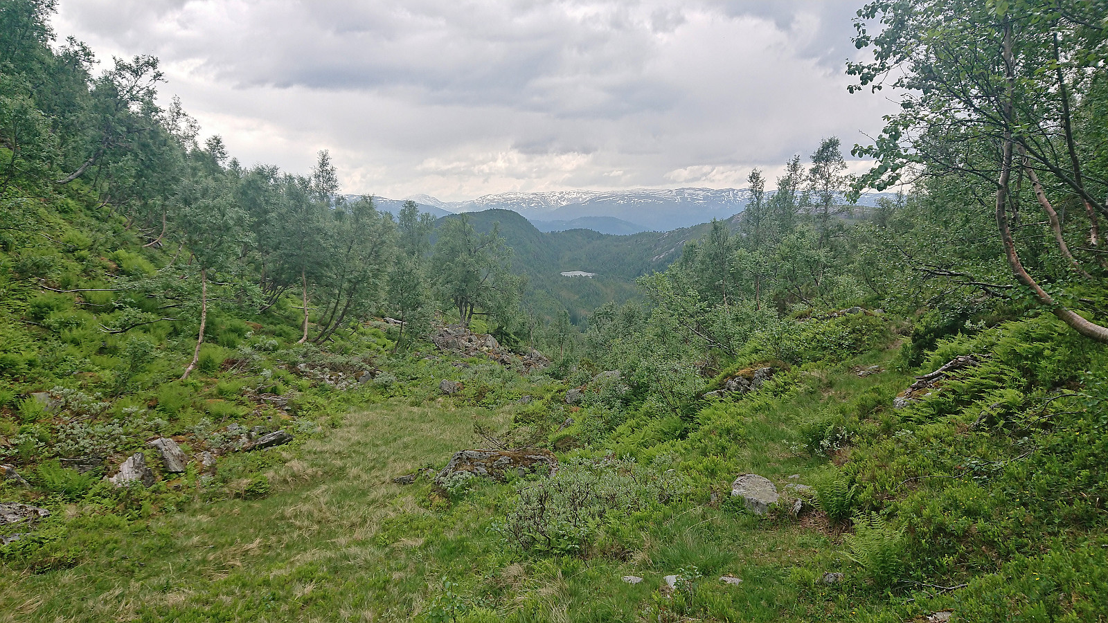
The trail was unmarked but overall easy to follow. It however did not pass by the highest point at Høgenoltane. At the 832 lake just northeast of the summit I hence briefly left the trail and completed the final less than 300 meters without any trail. The summit itself was unmarked but there was a large cairn slightly further north. Excellent views from both locations and a nice spot for a late lunch break.
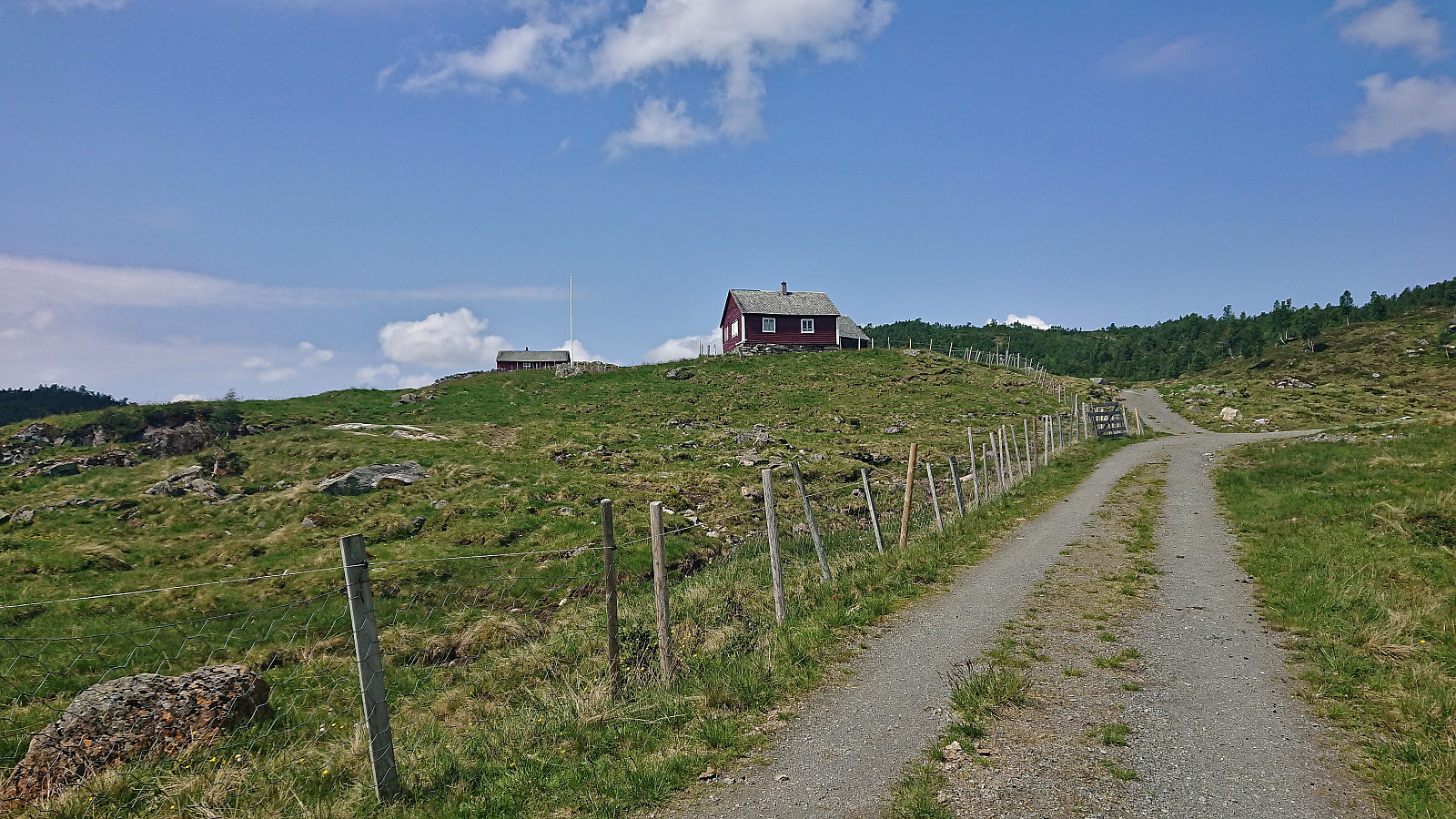
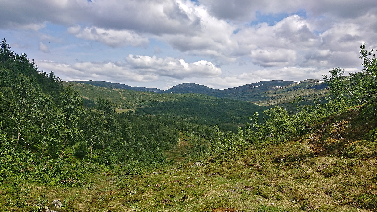
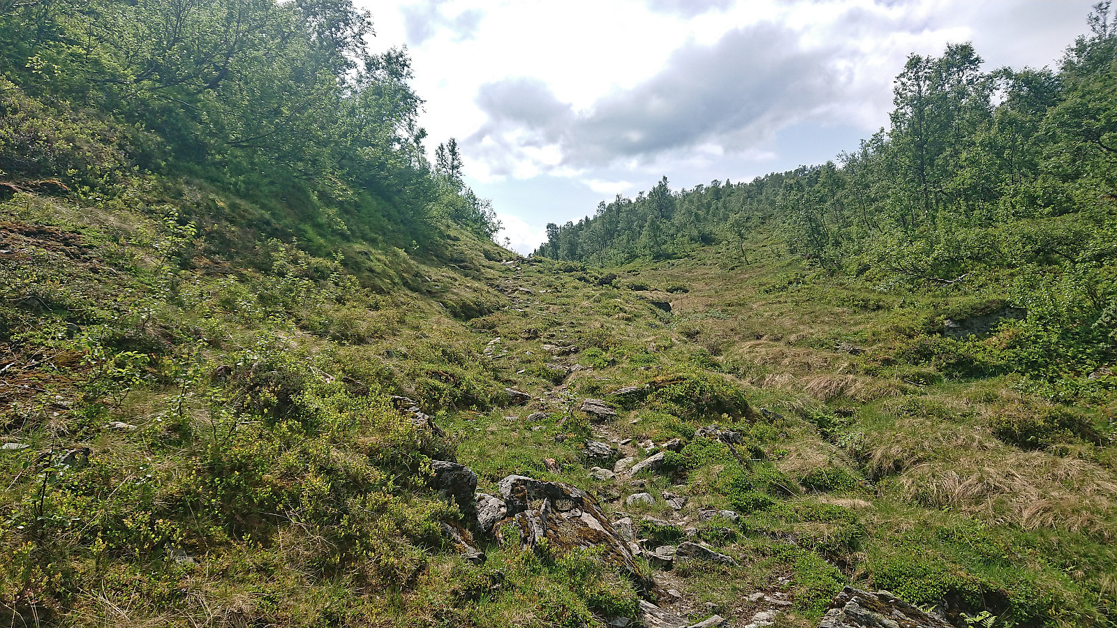
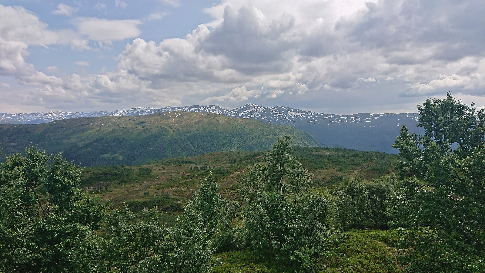
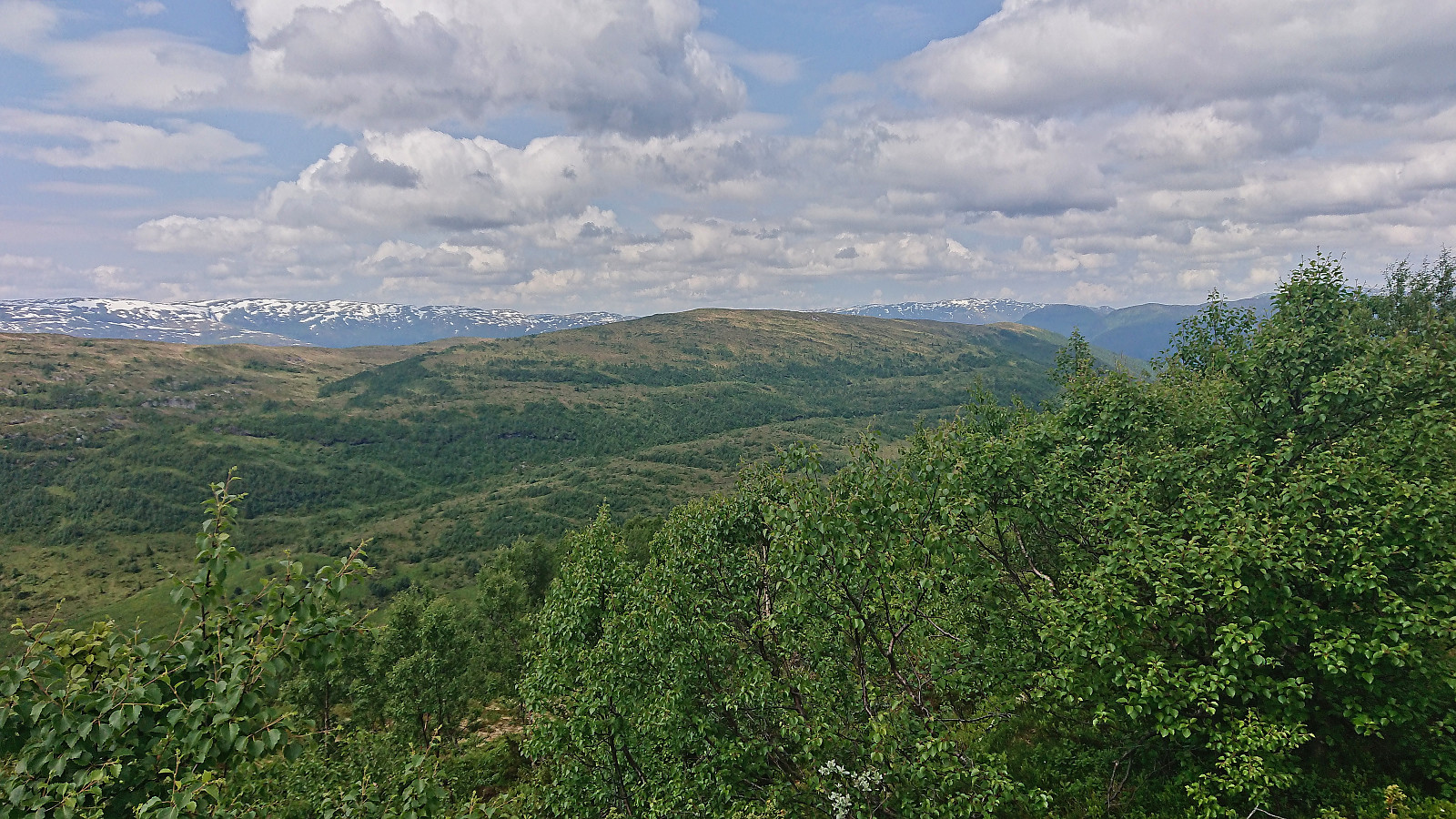
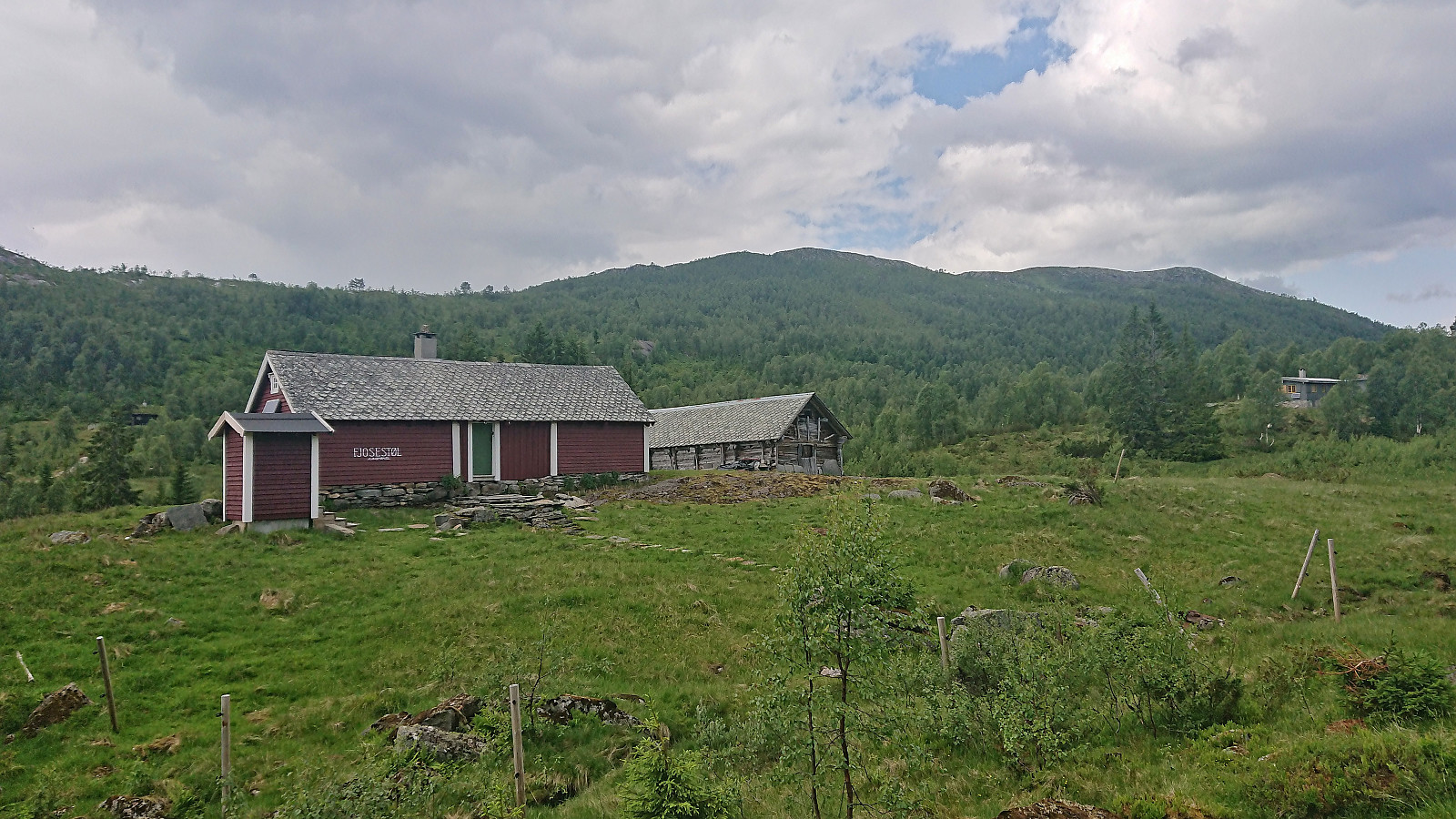
From the summit I could probably have continued south along the ridge, but in order to avoid any surprises, and as my ascent had been straightforward, I simply returned the same way to buføringsvegen and followed it south via Remleskaret to Fjosstølen. Except for missing a fork in the trail towards the end, which was quickly corrected, the trail was of ok quality and could be easily followed. Upon arriving at Fjosstølen all that remained was the walk along the roads back to the train station.
In summary, an excellent roundtrip that can be highly recommended.
| Startzeitpunkt | 01.07.2023 11:16 (UTC+01:00 SZ) |
| Endzeitpunkt | 01.07.2023 16:07 (UTC+01:00 SZ) |
| Gesamtzeit | 4h 50min |
| Zeit in Bewegung | 4h 21min |
| Pausenzeit | 0h 29min |
| Gesamtschnitt | 3,5km/h |
| Bewegungsschnitt | 3,9km/h |
| Entfernung | 17,0km |
| Höhenmeter | 697m |


Benutzerkommentare