
Storfjellet, NØ av Storfjellet and Smørstakken (25.06.2023)

Written by hbar (Harald Barsnes)

| Start point | Steinavatnet p-plass (493m) |
|---|---|
| Endpoint | Steinavatnet p-plass (493m) |
| Characteristic | Hillwalk |
| Duration | 9h 01min |
| Distance | 22.2km |
| Vertical meters | 1,308m |
| GPS |
|
| Ascents | Smørstakken (1,108m) | 25.06.2023 |
|---|---|---|
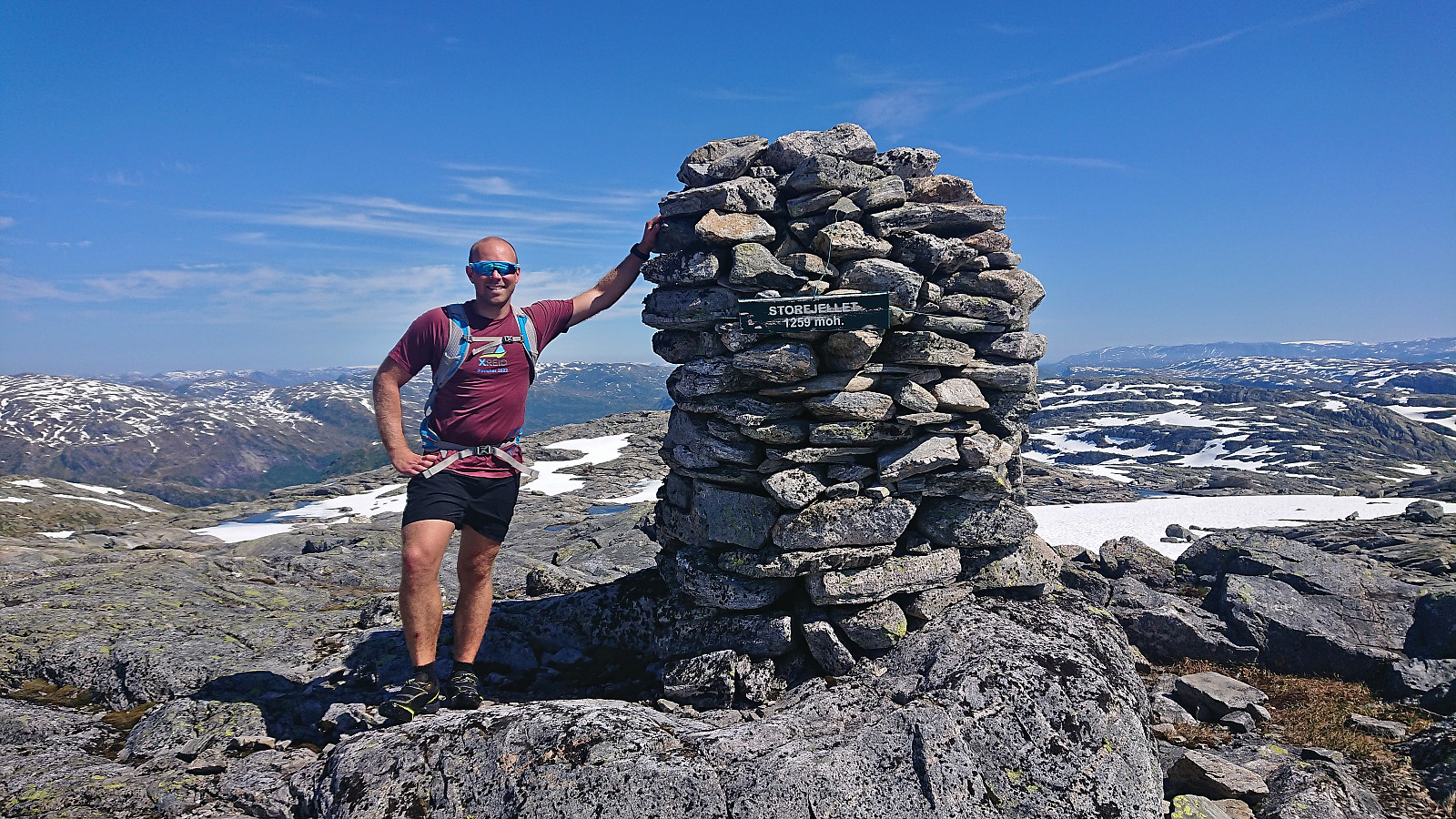
| Storfjellet (1,259m) | 25.06.2023 | |
| NØ av Storfjellet (1,204m) | 25.06.2023 | |
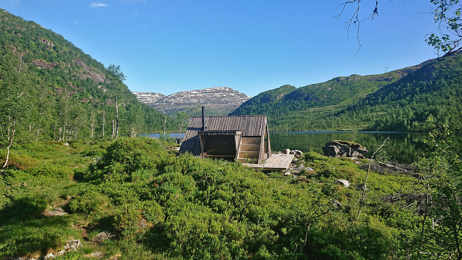
| Visits of other PBEs | Olav Nygards bu (499m) | 25.06.2023 |
| Steinavatnet p-plass (493m) | 25.06.2023 |
Storfjellet, NØ av Storfjellet and Smørstakken
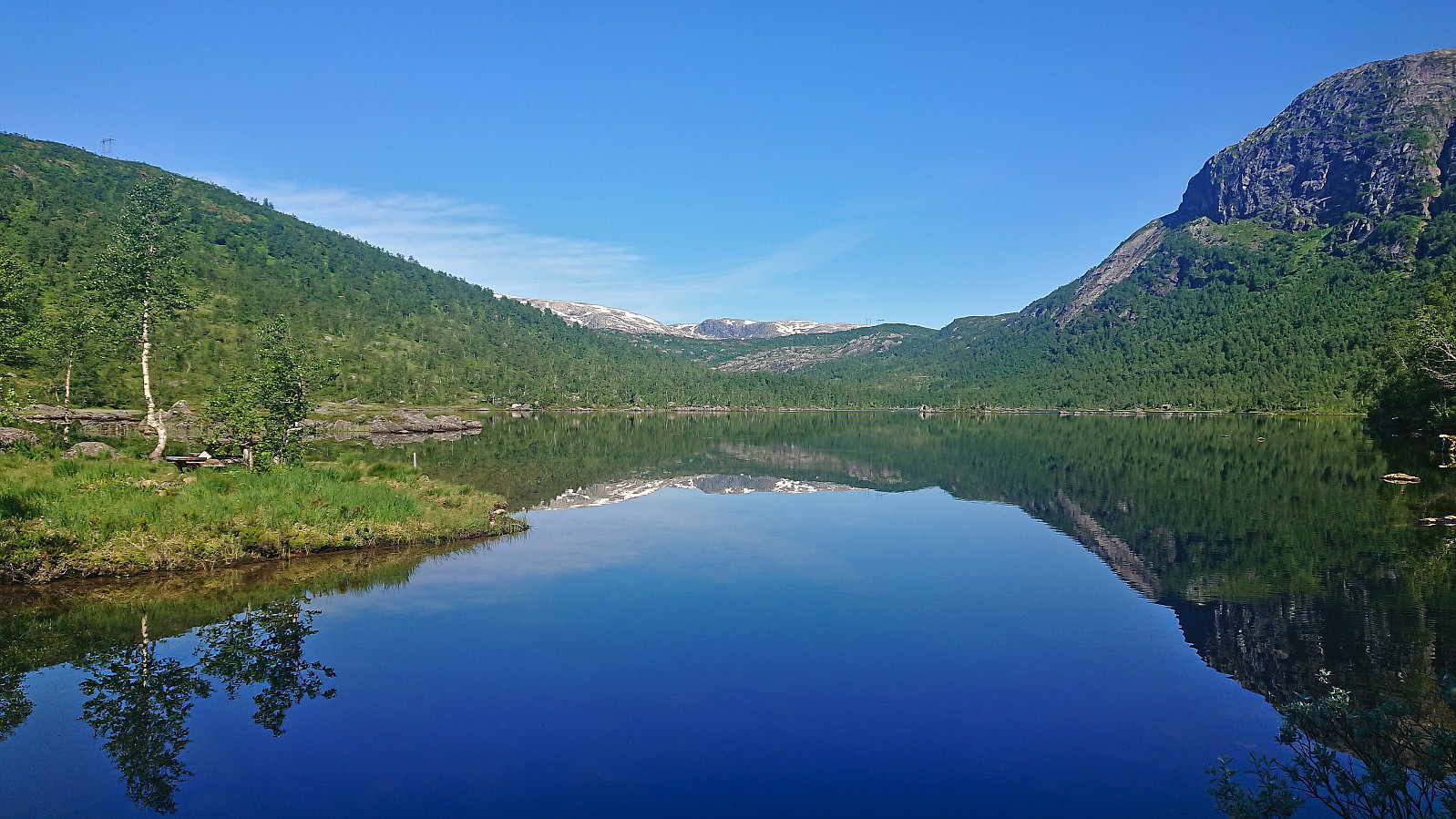
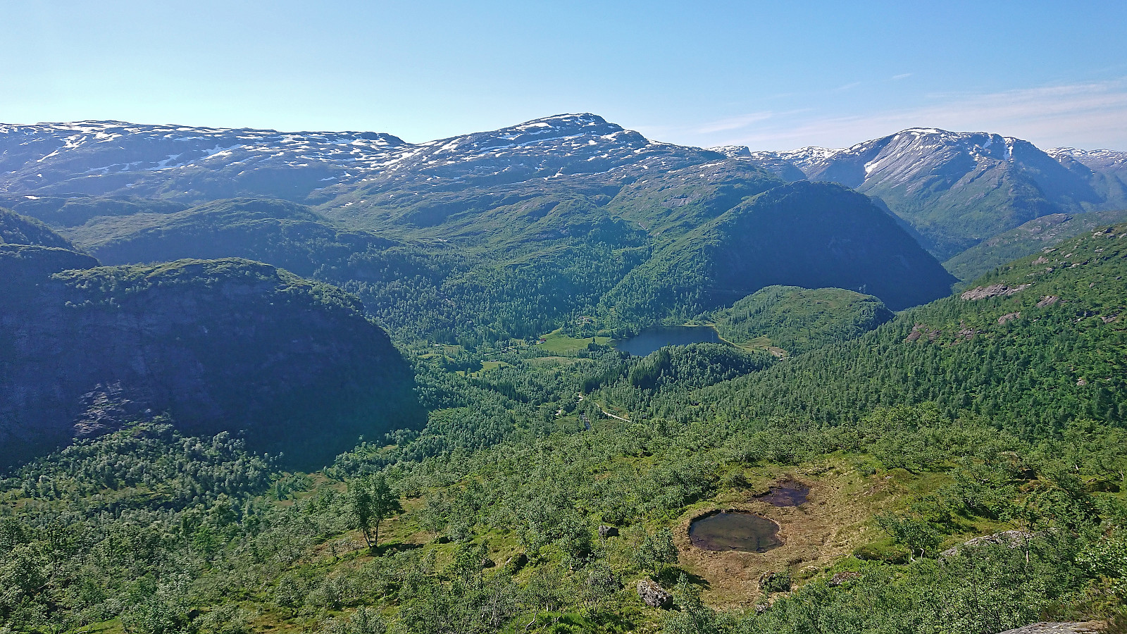

After an approximately 1.5 hour drive from Bergen, we parked at Steinavatnet p-plass where Fjellsamleren (Endre Myrdal Olsen) started west to Nåmdalsfjellet (a peak I had already visited on skis earlier this year) while I began the ascent east to Storfjellet.
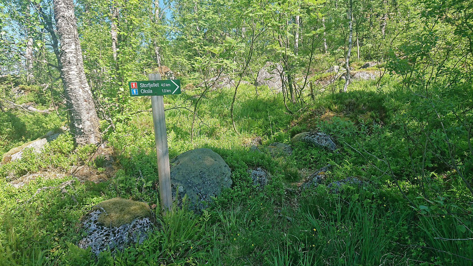
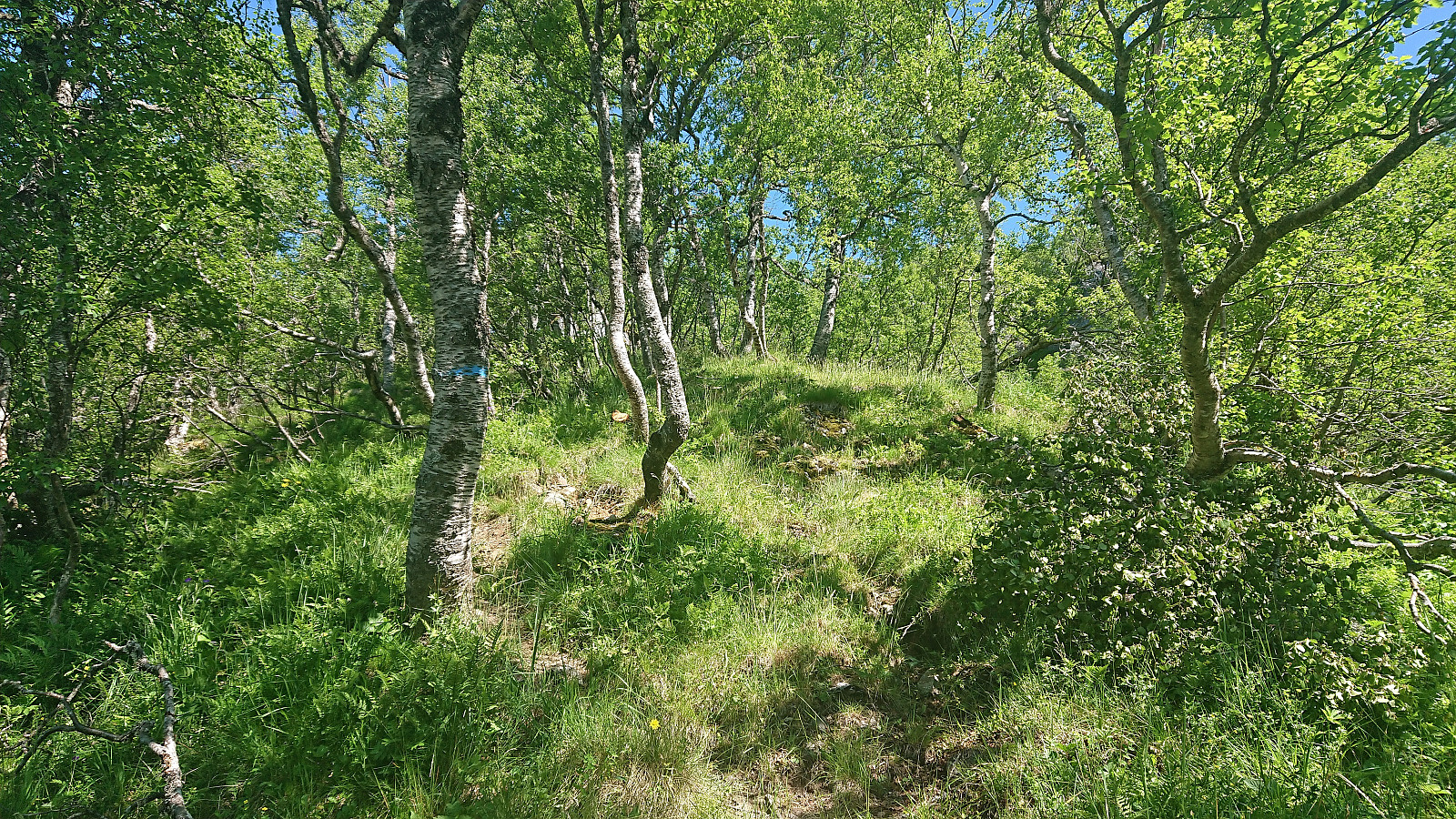
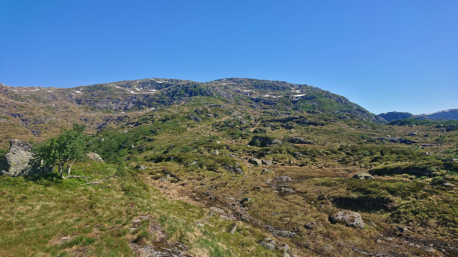
I first headed north to cross the bridge over Oselvi, before shortly descending southeast to the marked trailhead for Storfjellet and the viewpoint Oksla. The trail was marked with blue paint but not always the easiest to follow, especially as it did not always follow the trail indicated on the map. Shortly after leaving Oksla I lost the trail and after that I only managed to locate the occasional small cairn, even when being right on top of where the trail ought to be according to the map.
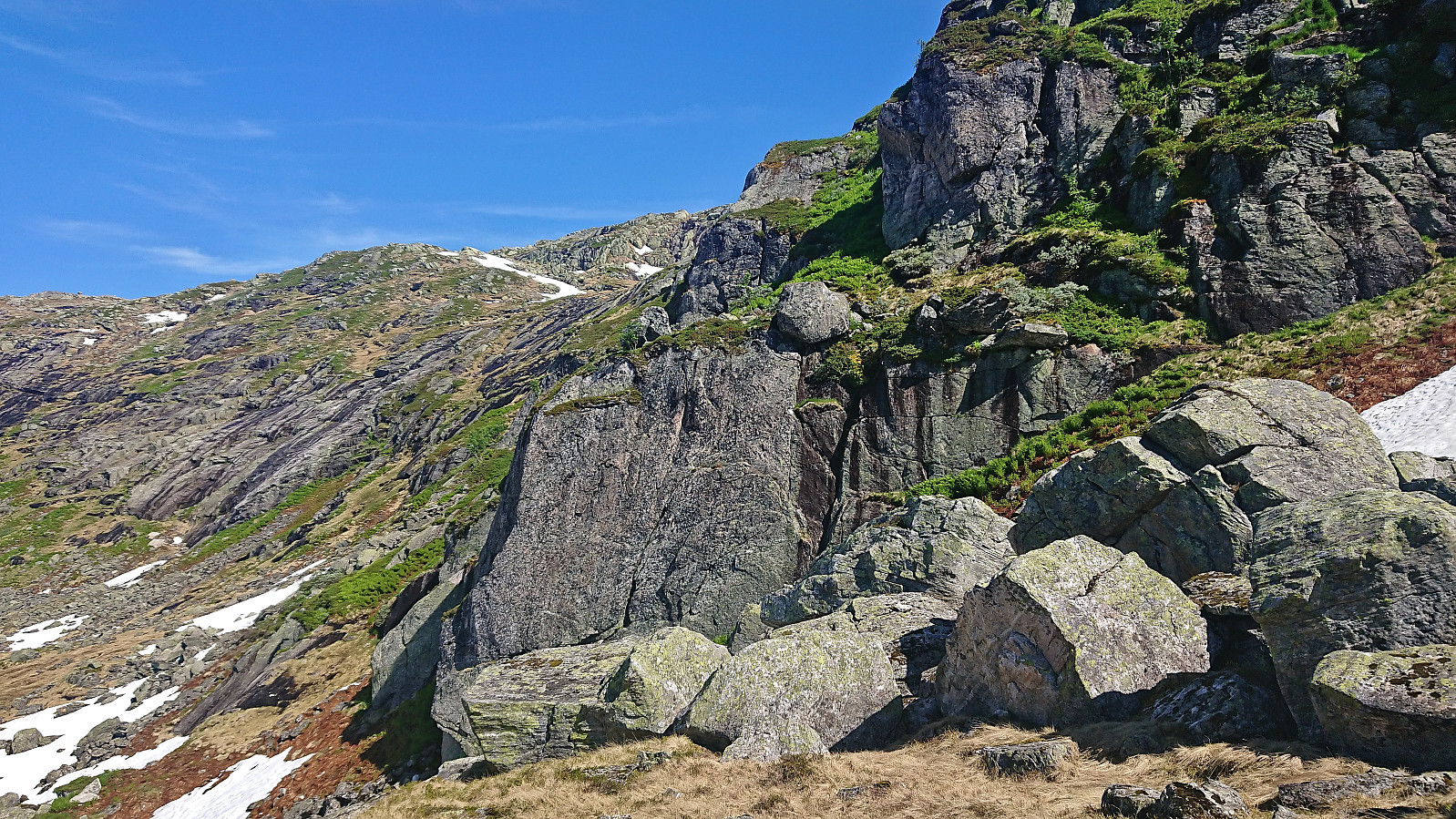
As I was approaching the only really steep part of the ascent I was therefore on my own and decided to stick to where the trail was indicated on the map. This however turned out to be a mistake as there were no traces of a trail there at all and the terrain mainly consisted of increasingly steeper grass-covered surfaces with nothing to hold on to but ferns. But given that I was still convinced that I was on the recommended route, I persevered and half scrambled half crawled to where the steep section finally ended. Definitely outside my comfort zone and not a route to recommend.
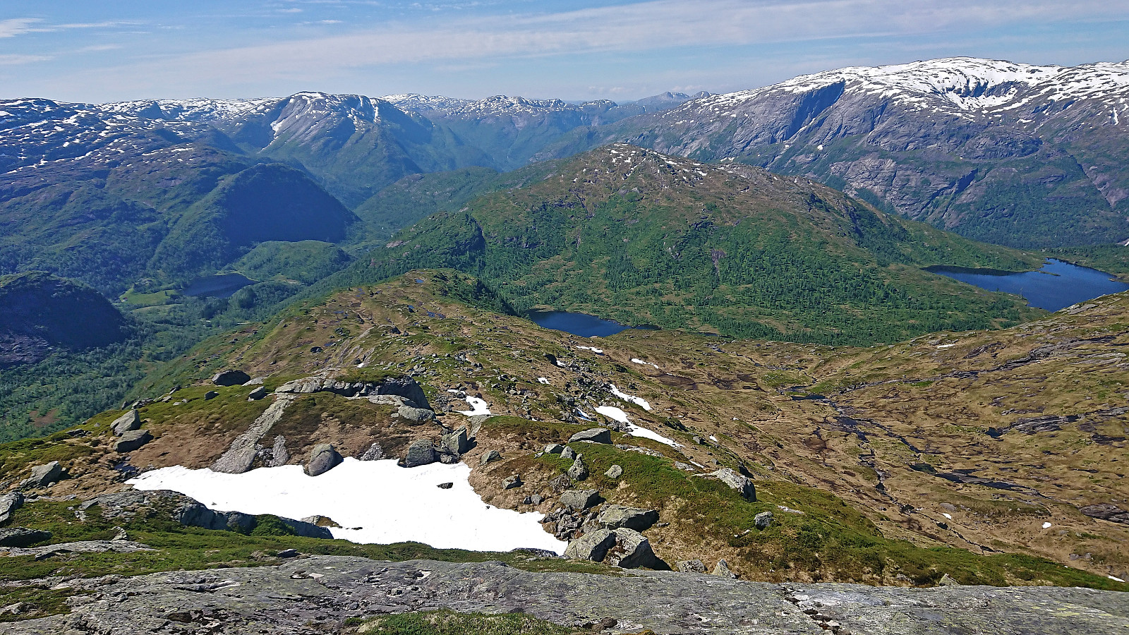
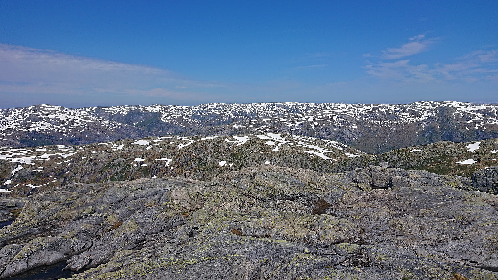
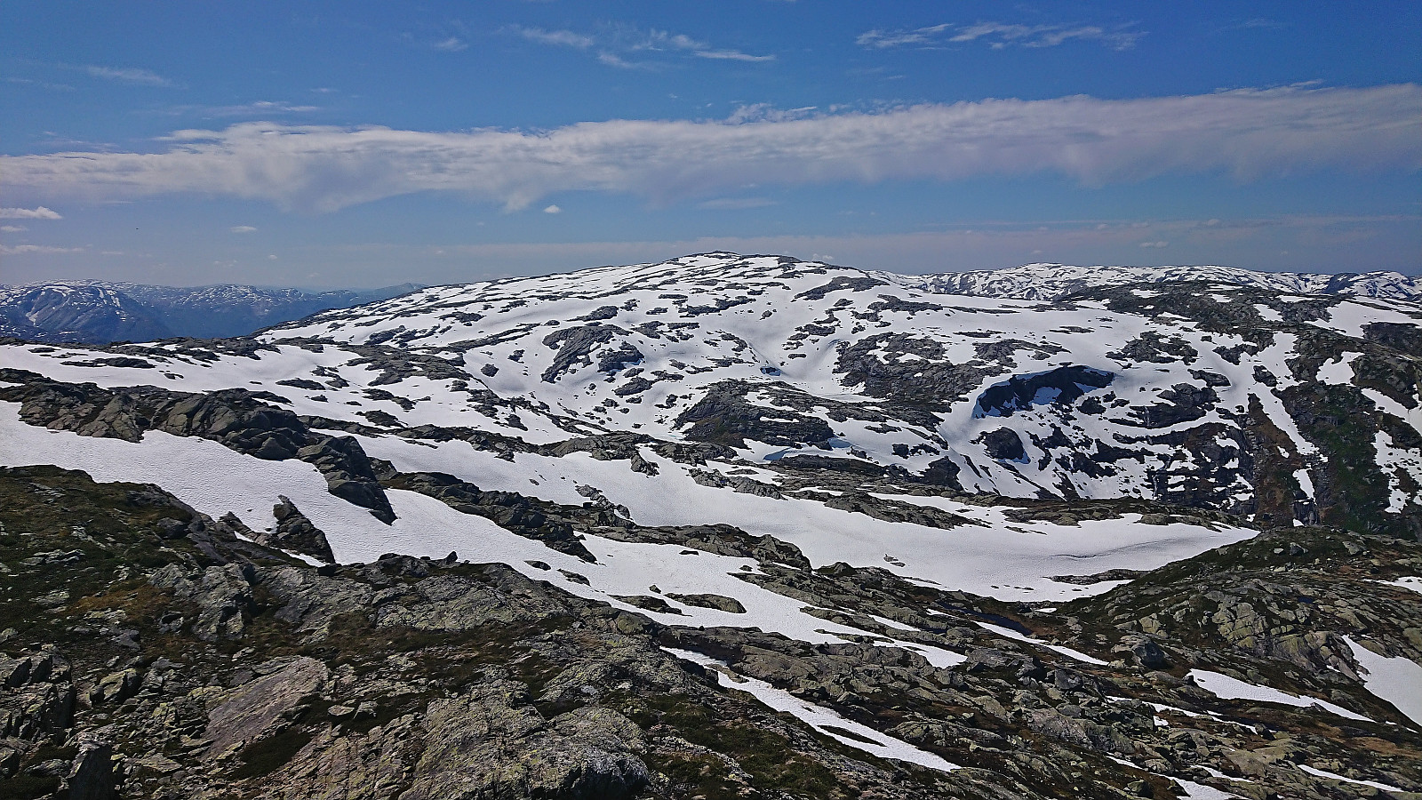
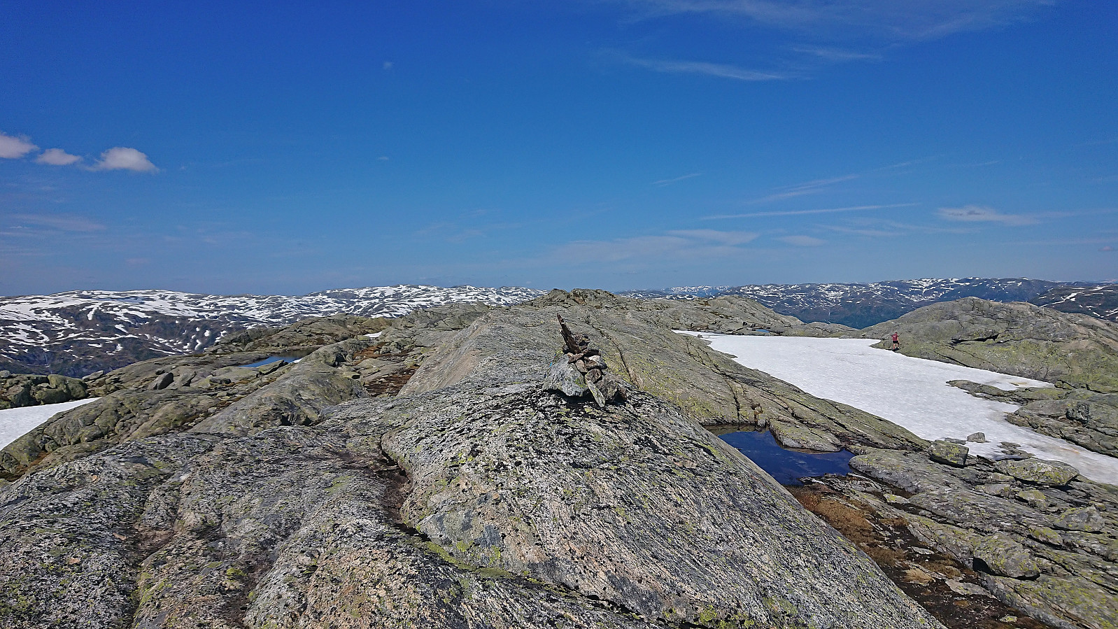
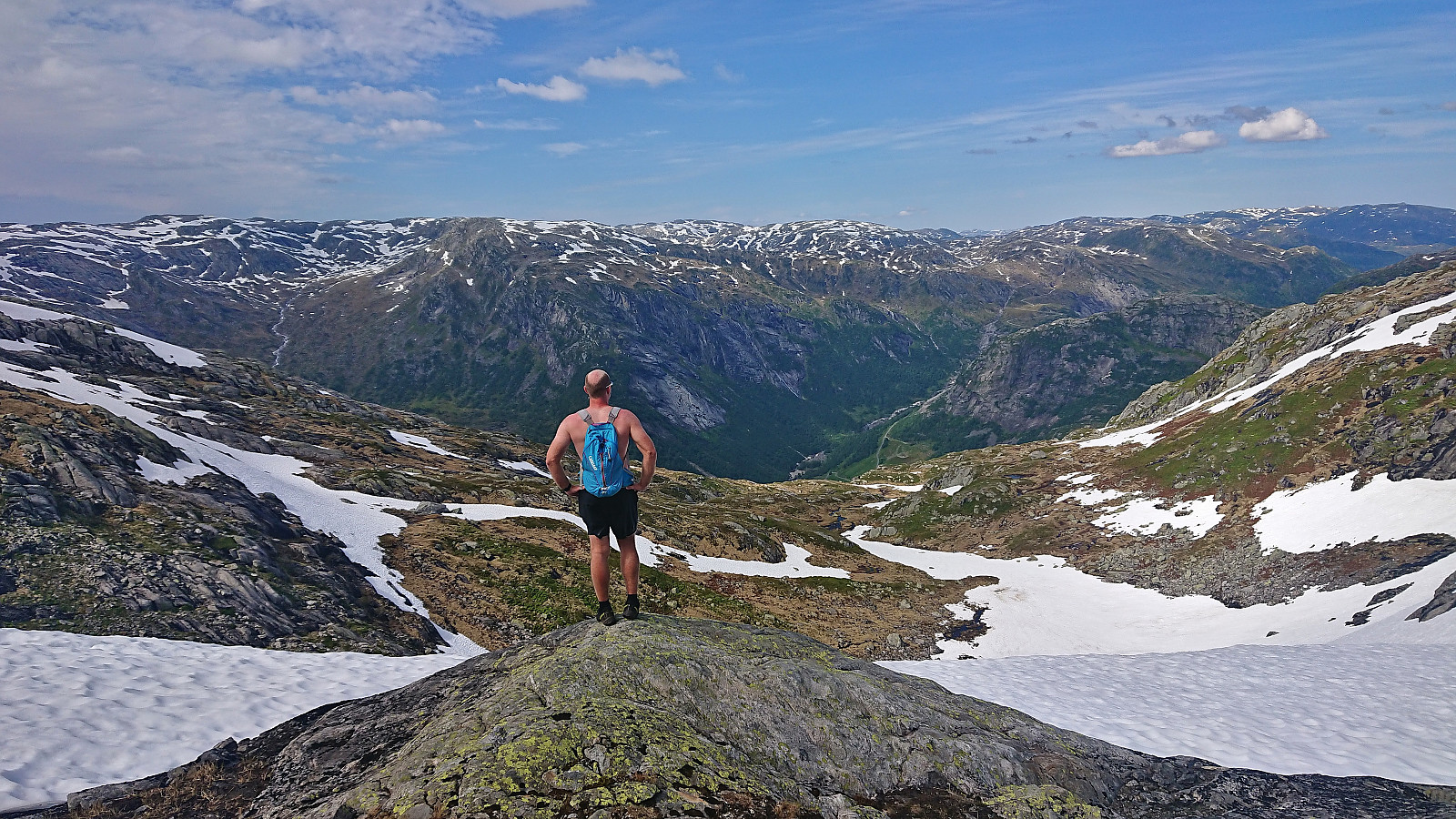
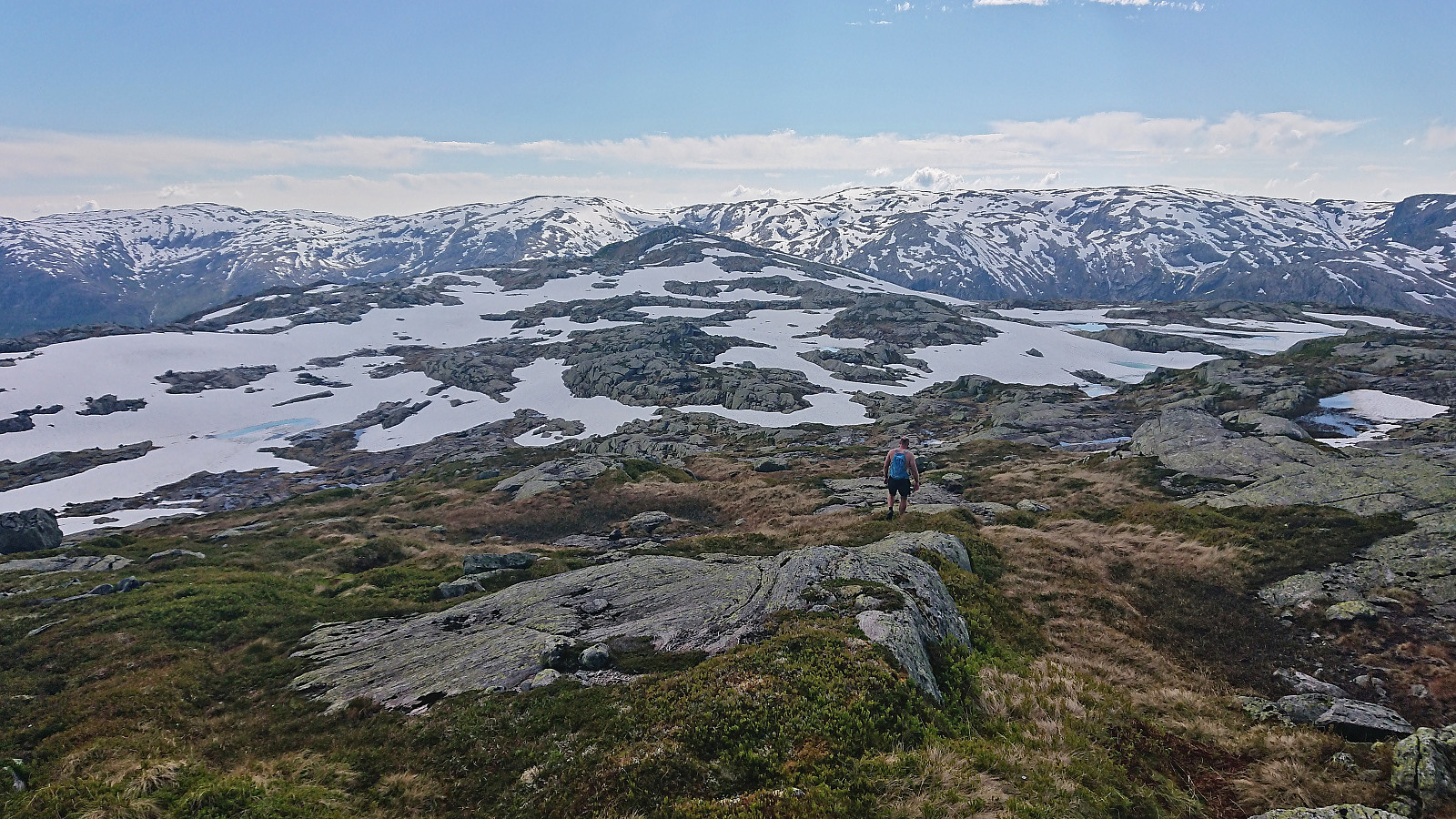
The rest of the ascent was straightforward and Endre caught up with me (after his successful ascent of Nåmdalsfjellet) just as I was approaching the summit and we could enjoy the excellent views during a joint lunch next to the large cairn. Ironically, Endre, the climber of the two of us, had found a much easier ascent that did not even require any scrambling! In other words, choose his route instead!
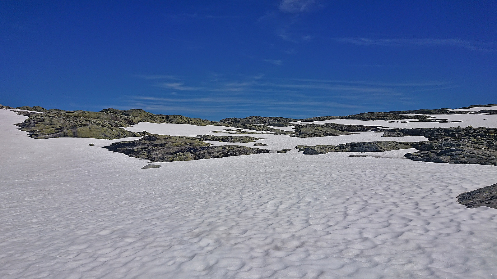
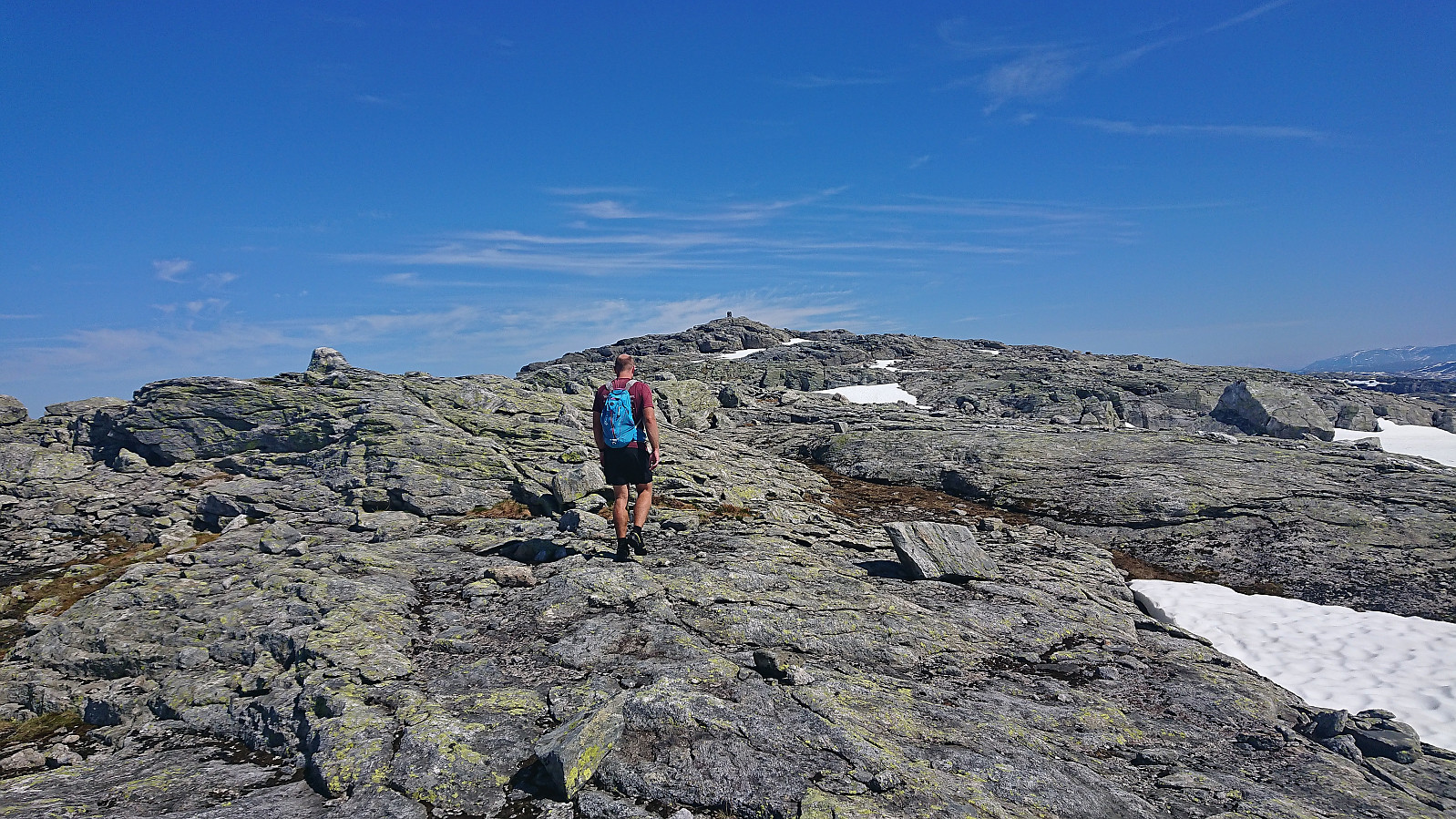
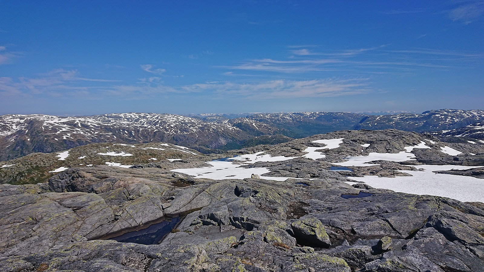
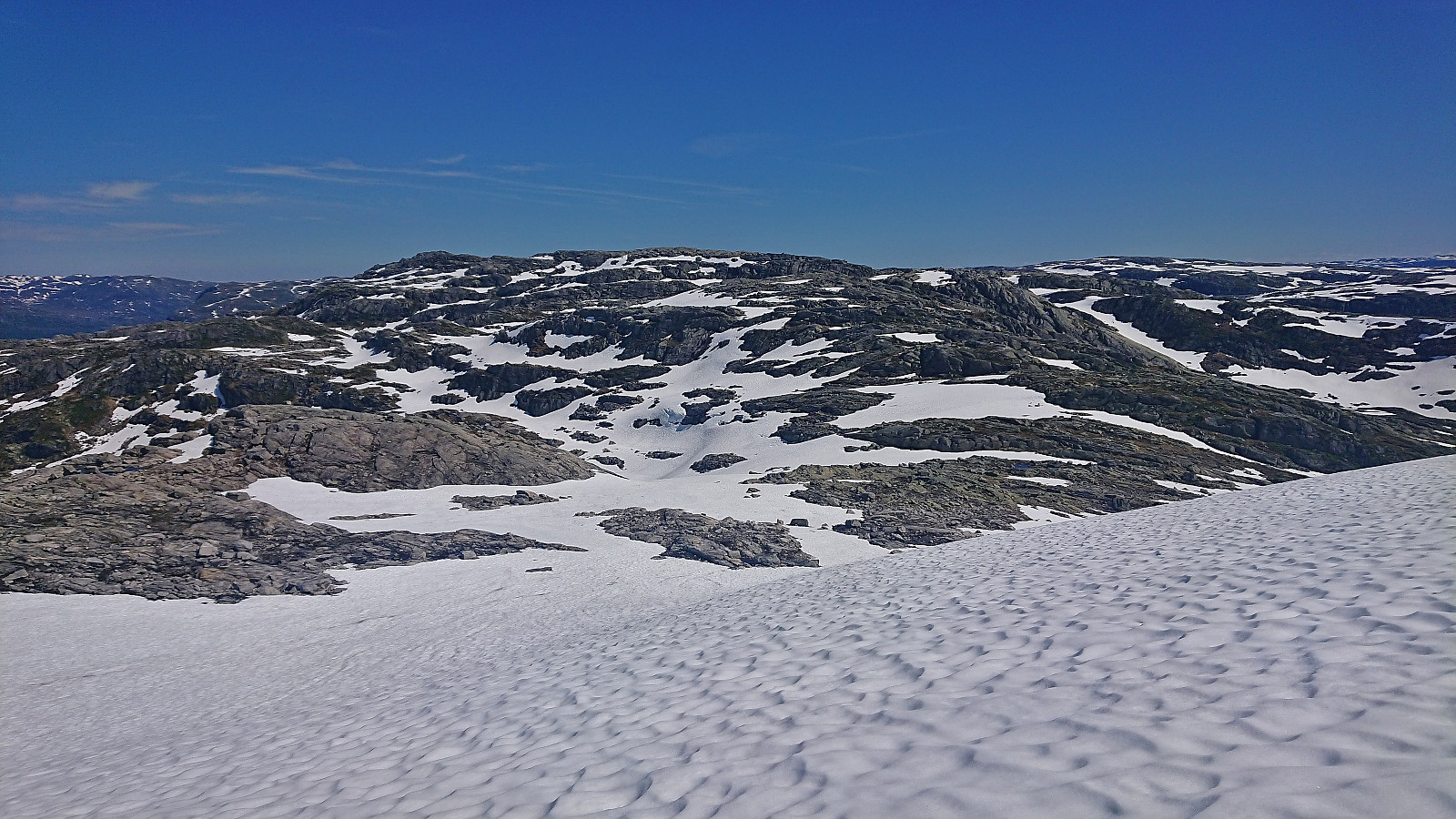
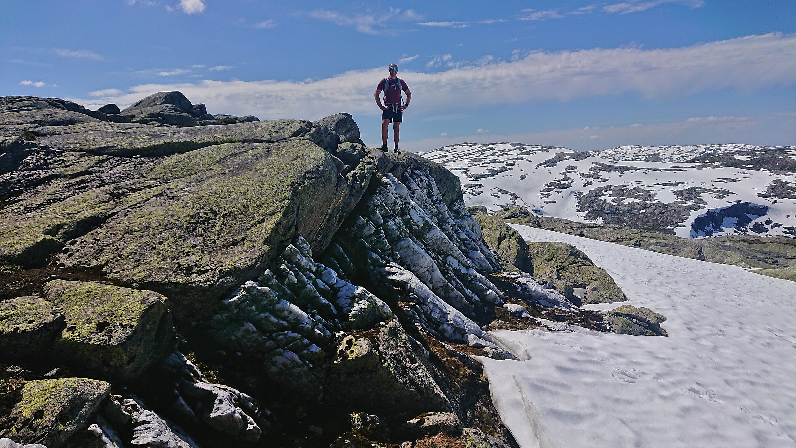
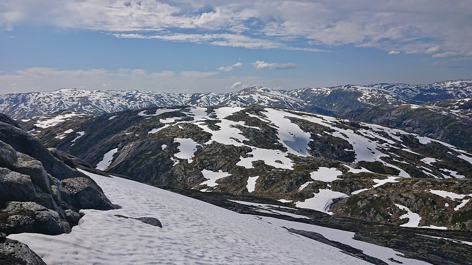
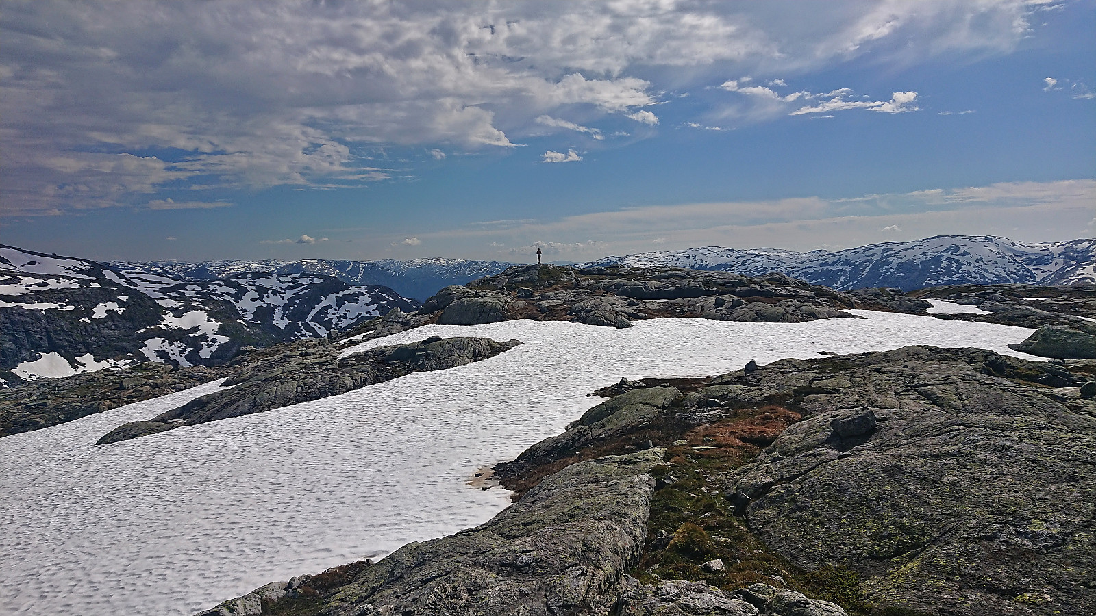
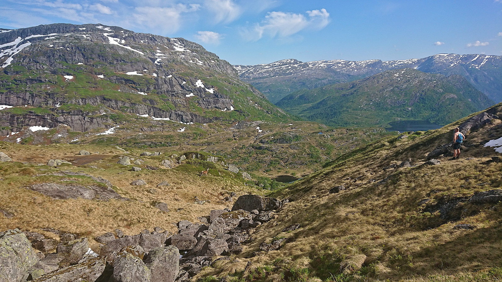
Next, we moved our focus to NØ av Storfjellet and simply headed east and ascended the ridge from there. The terrain did not present any issues and we quickly arrived at the northern 1204 hill indicated as the summit. However, we were not convinced that this was indeed the highest point and thus made sure to also visit all other potential summits. (Upon returning home and checking hoydedata.no it seems like the northern summit is indeed higher, but only by around 3 cm! In other words, visit both of the most likely candidates to be on the safe side.)
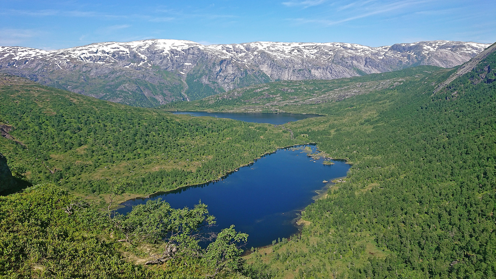
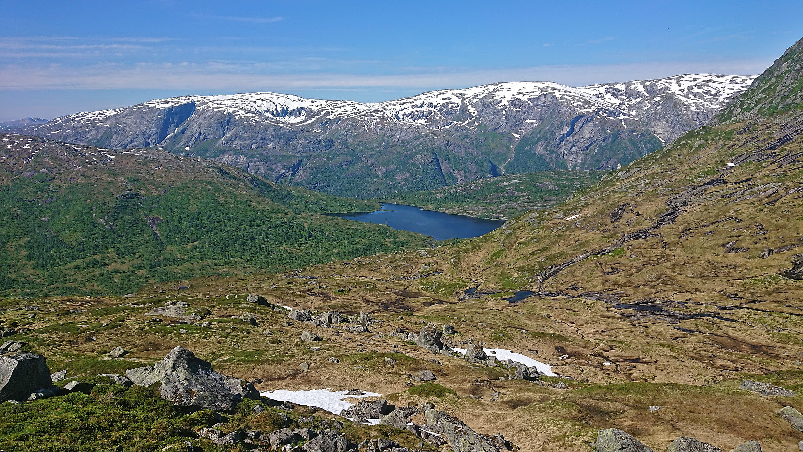
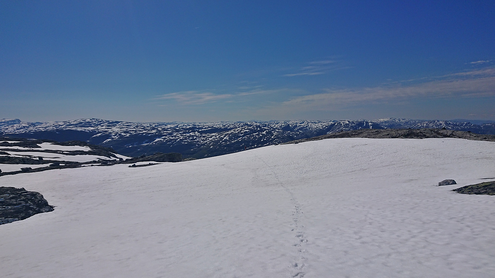
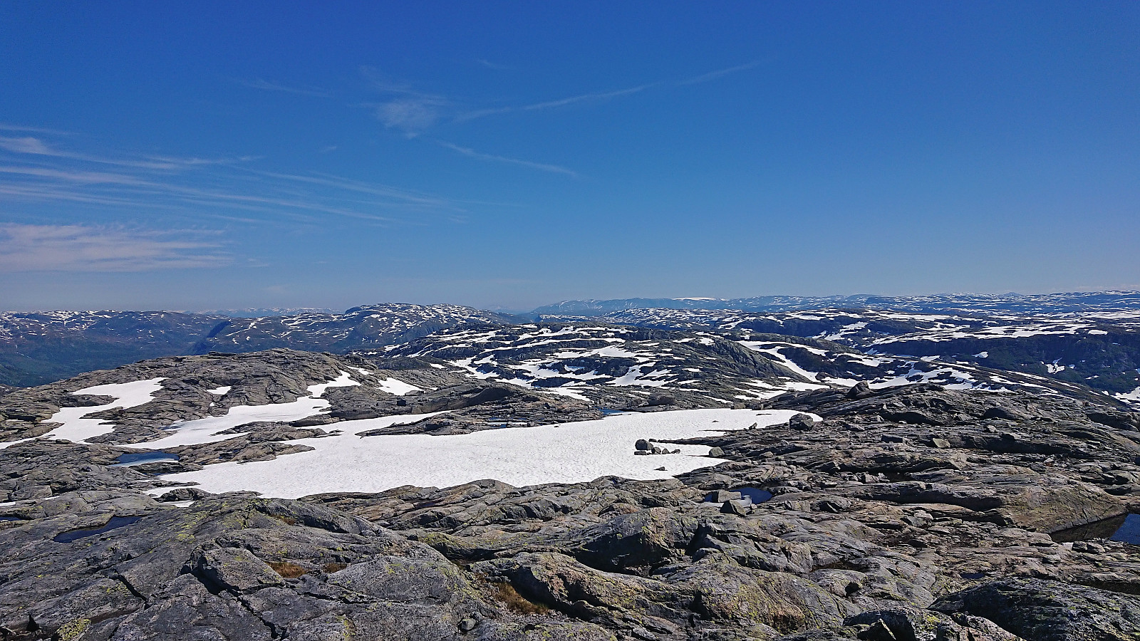
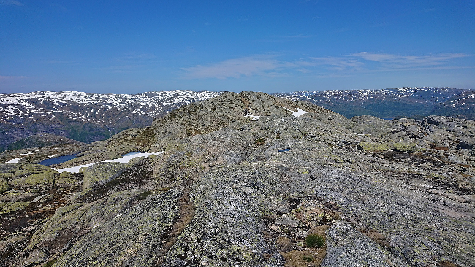
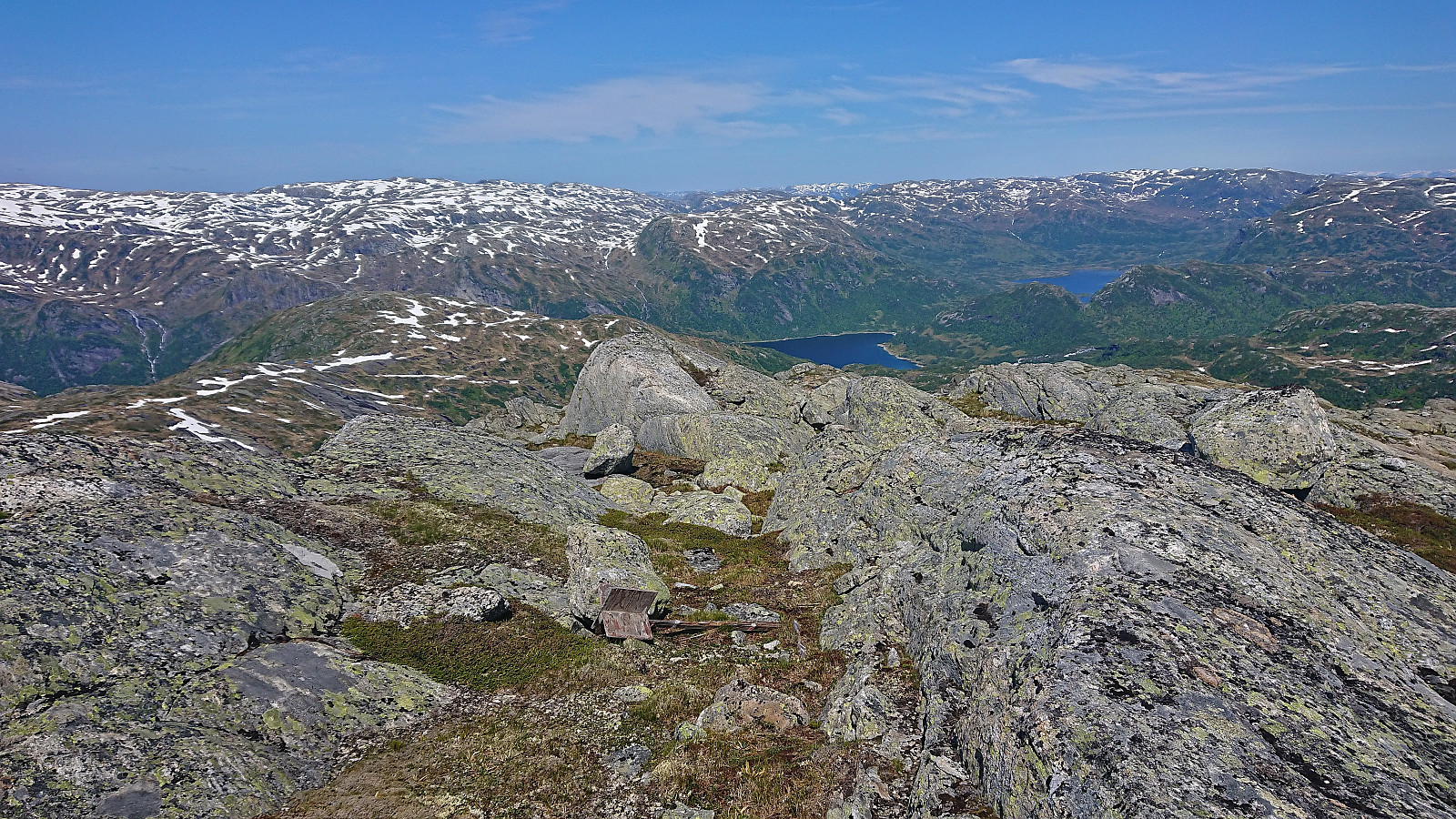
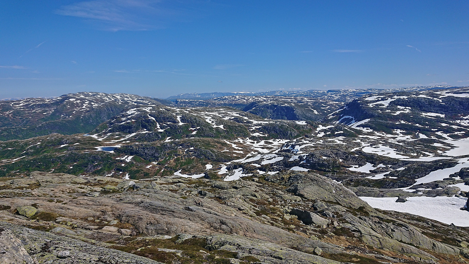
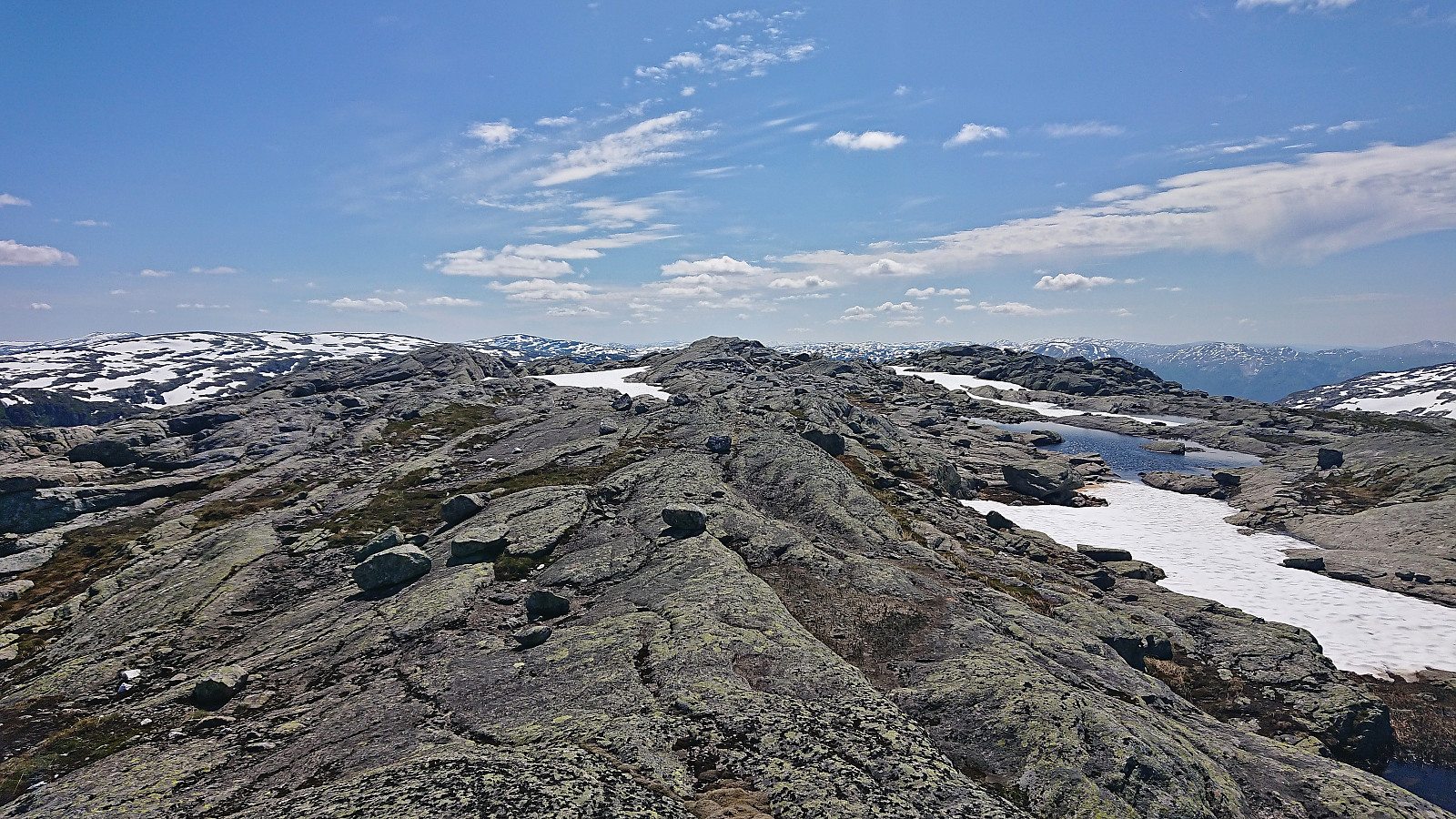
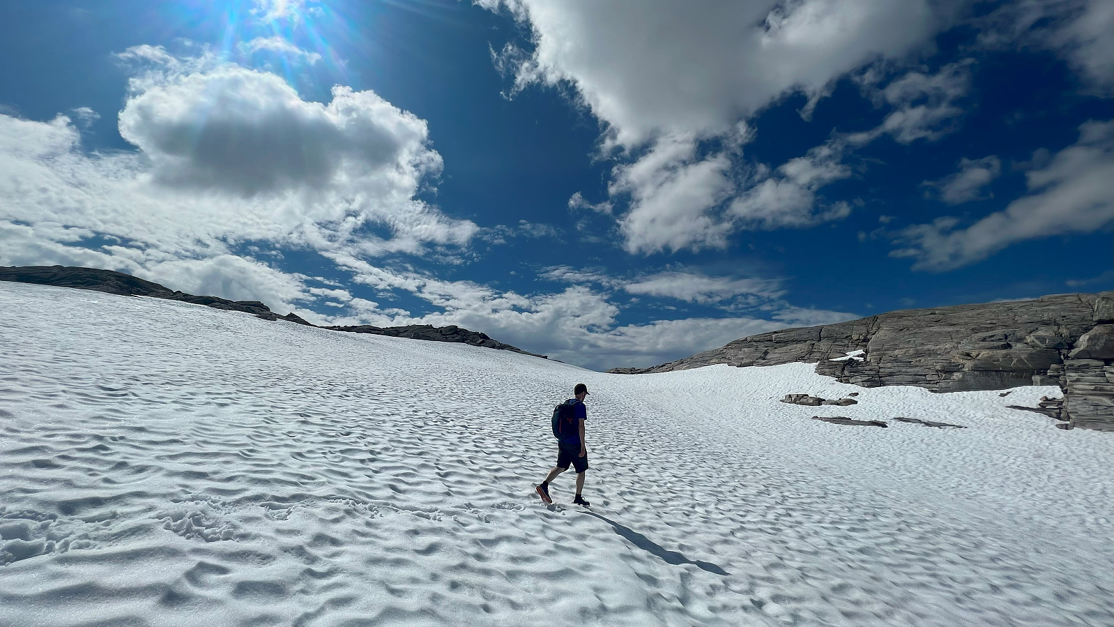
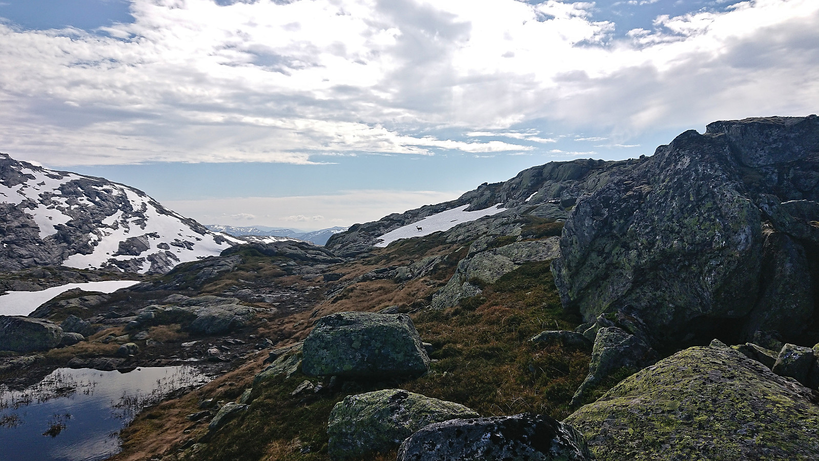
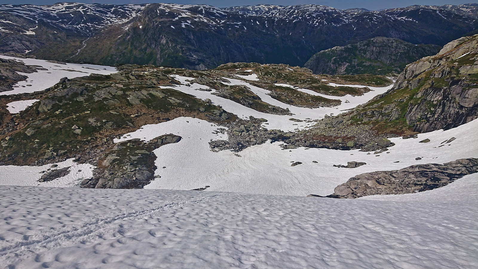
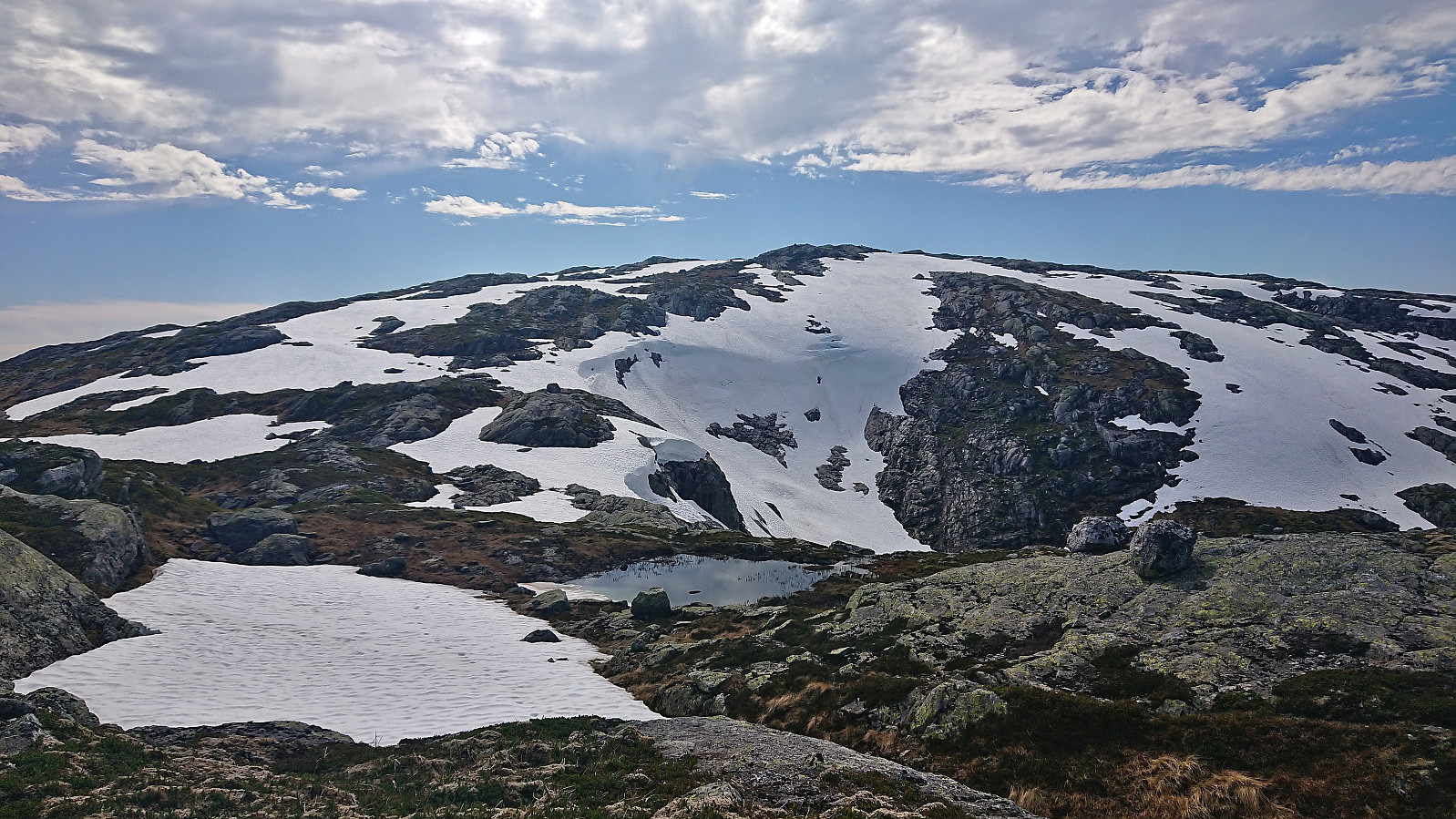
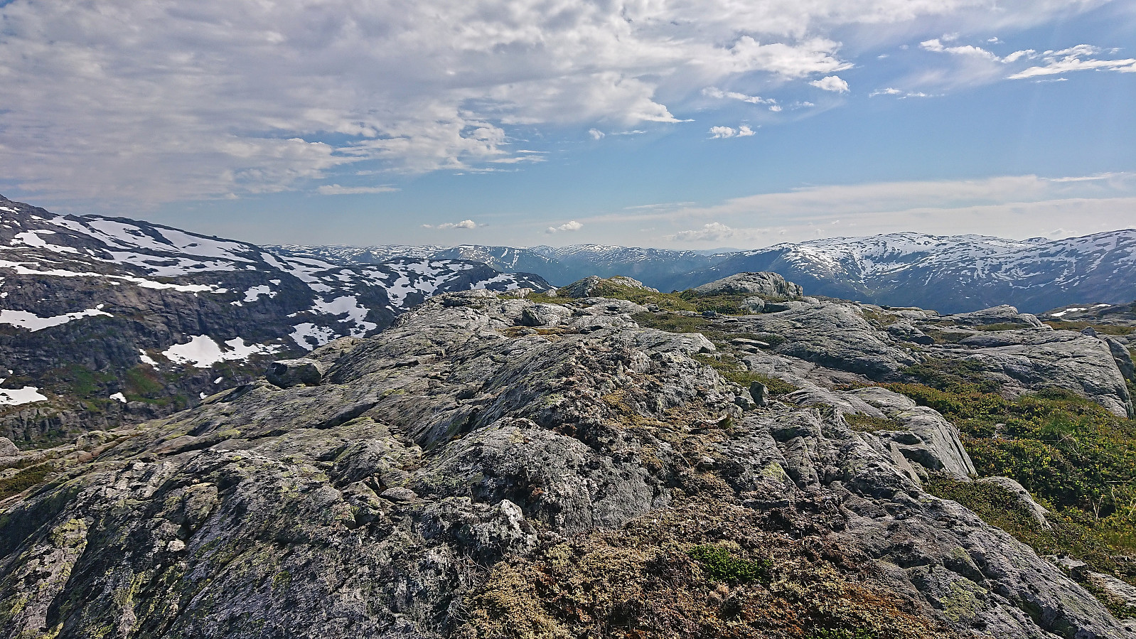
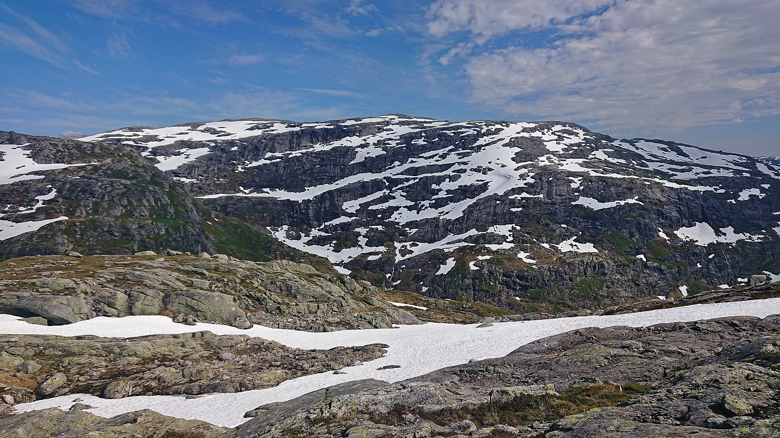
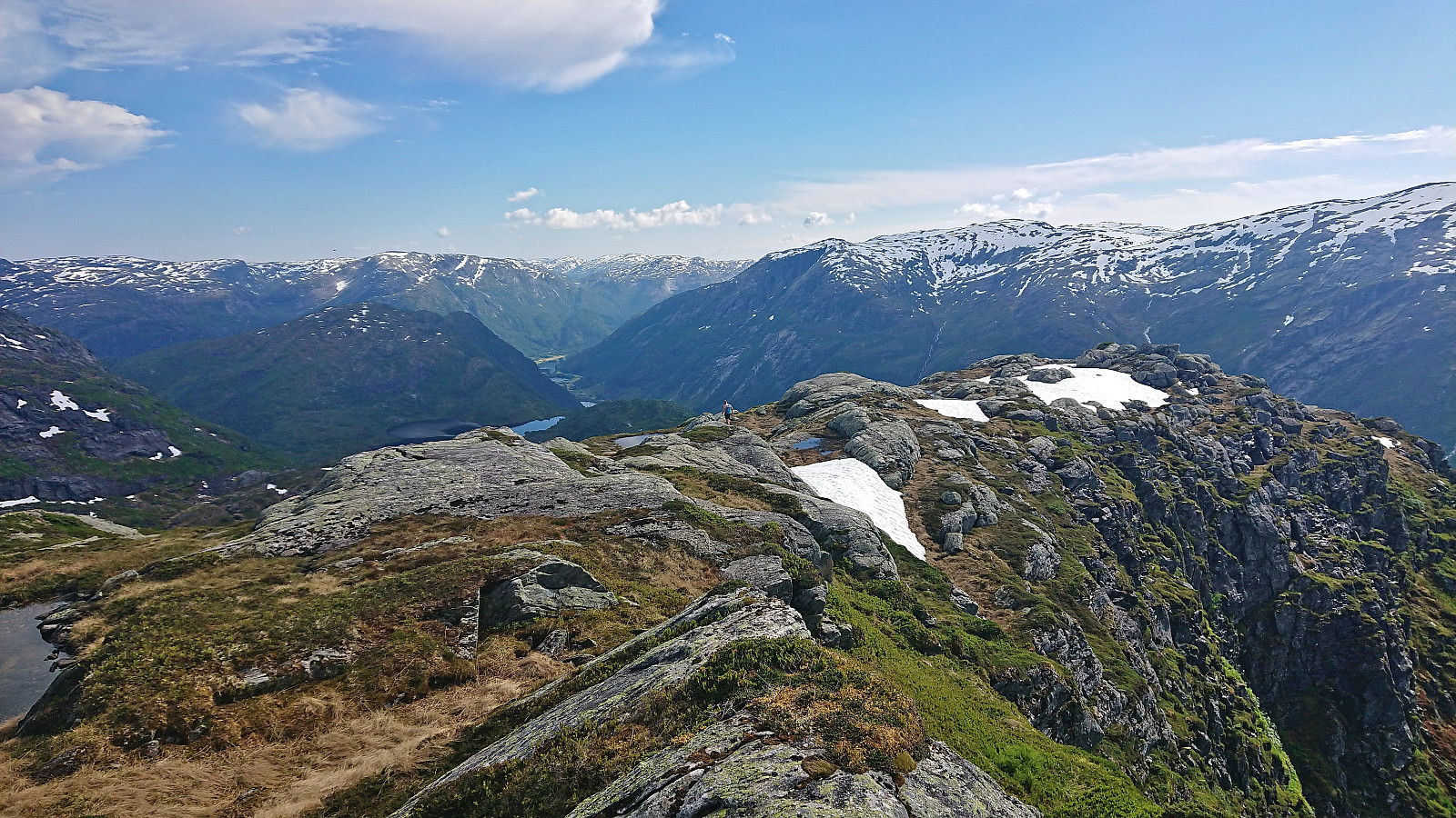
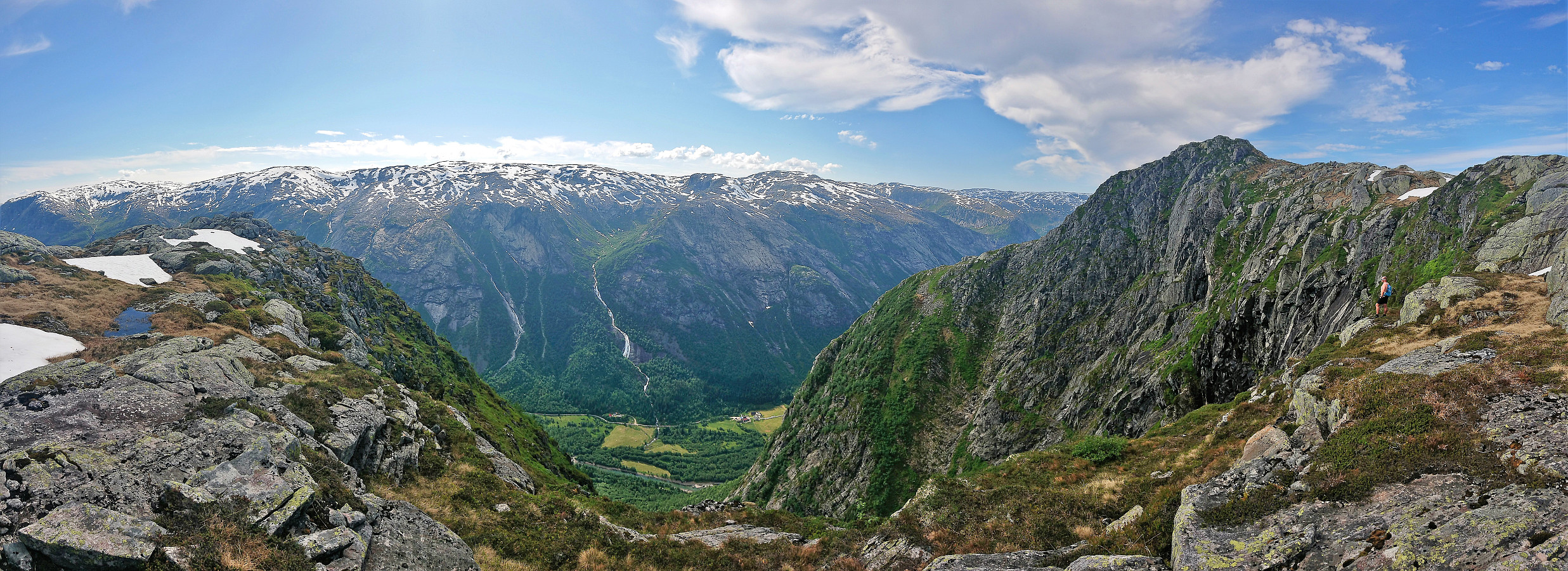
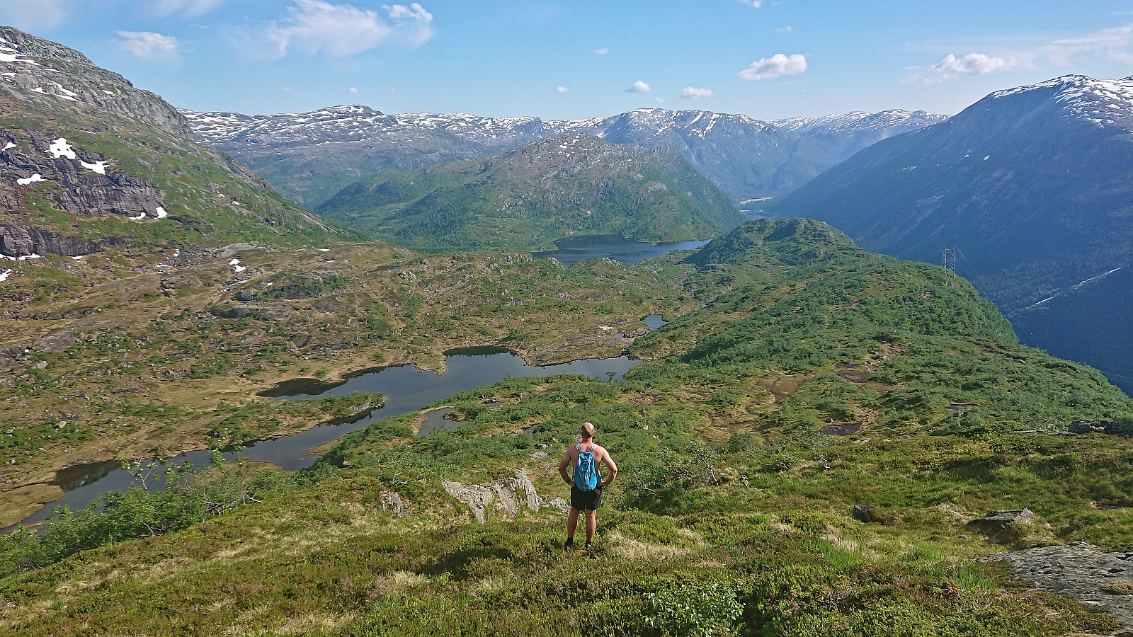
From NØ av Storfjellet, we returned west towards Storfjellet before turning northwest to the unnamed 1163 hill between us and our final goal of the day: Smørstakken. After spooking a deer close to the summit of the 1163 hill, we descended steeply into the valley east of Smørstakken (which may require slightly more pathfinding when there is less snow) and from there started the final ascent to the summit. At least three hills to choose from but the summit seemed to be in the correct location.
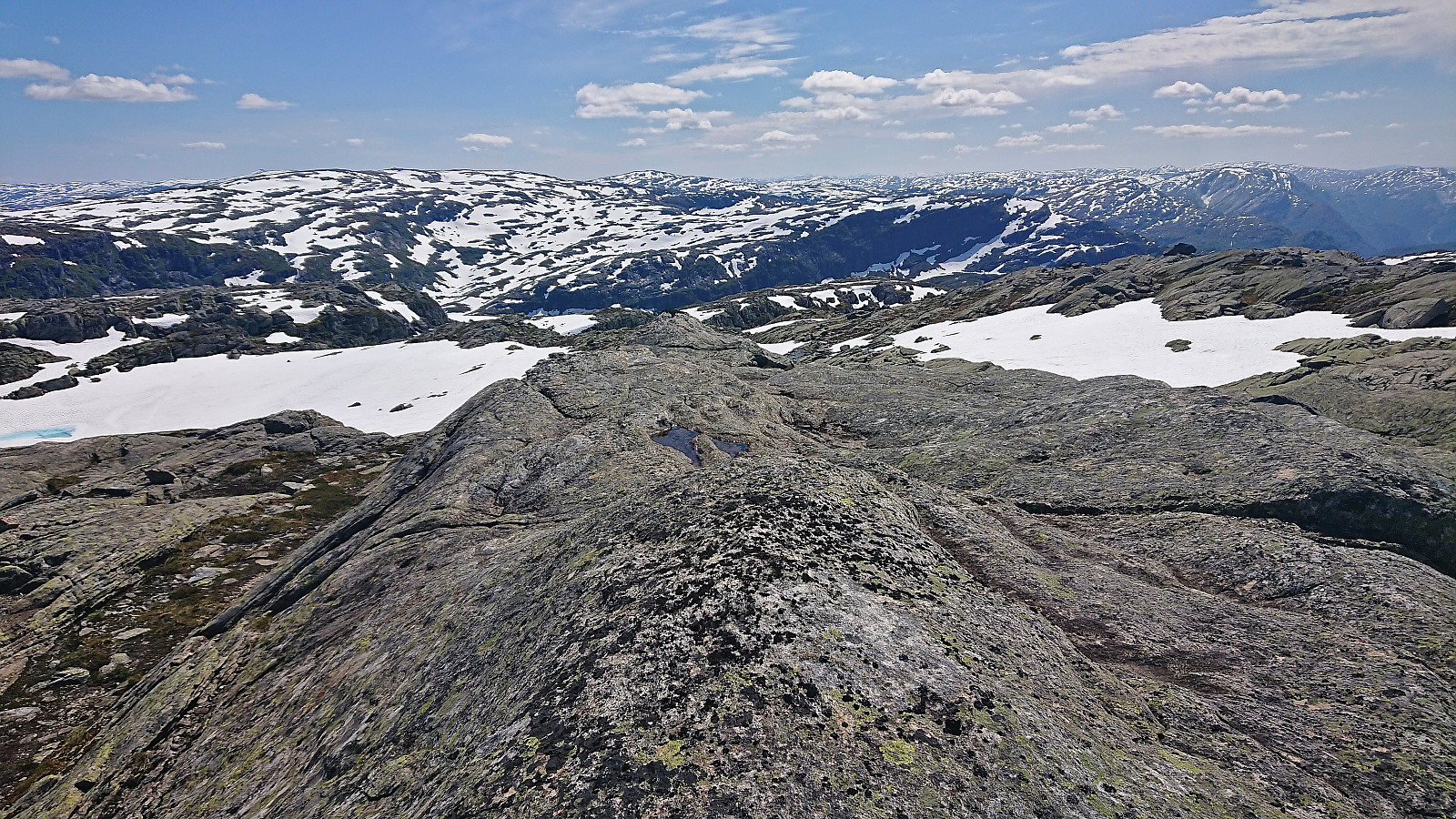
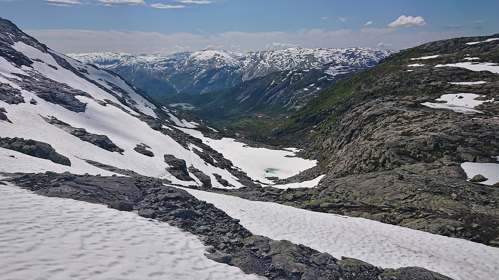
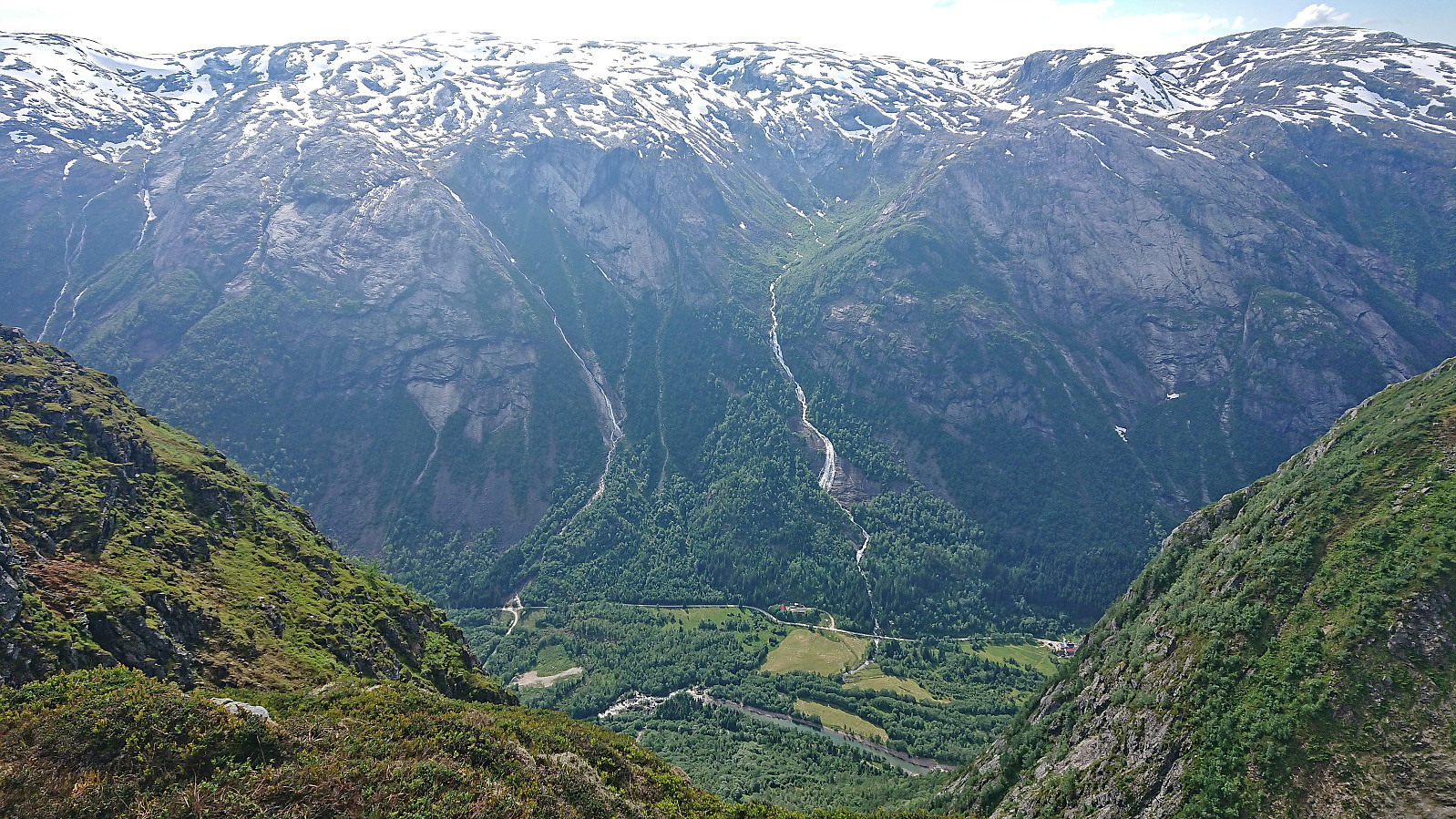
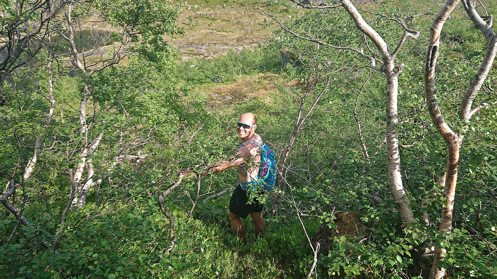
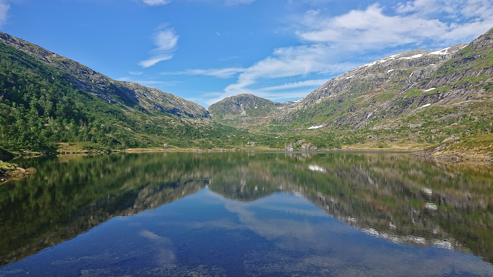
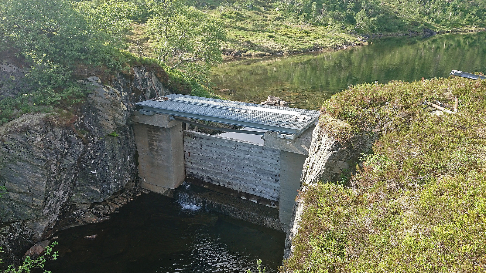
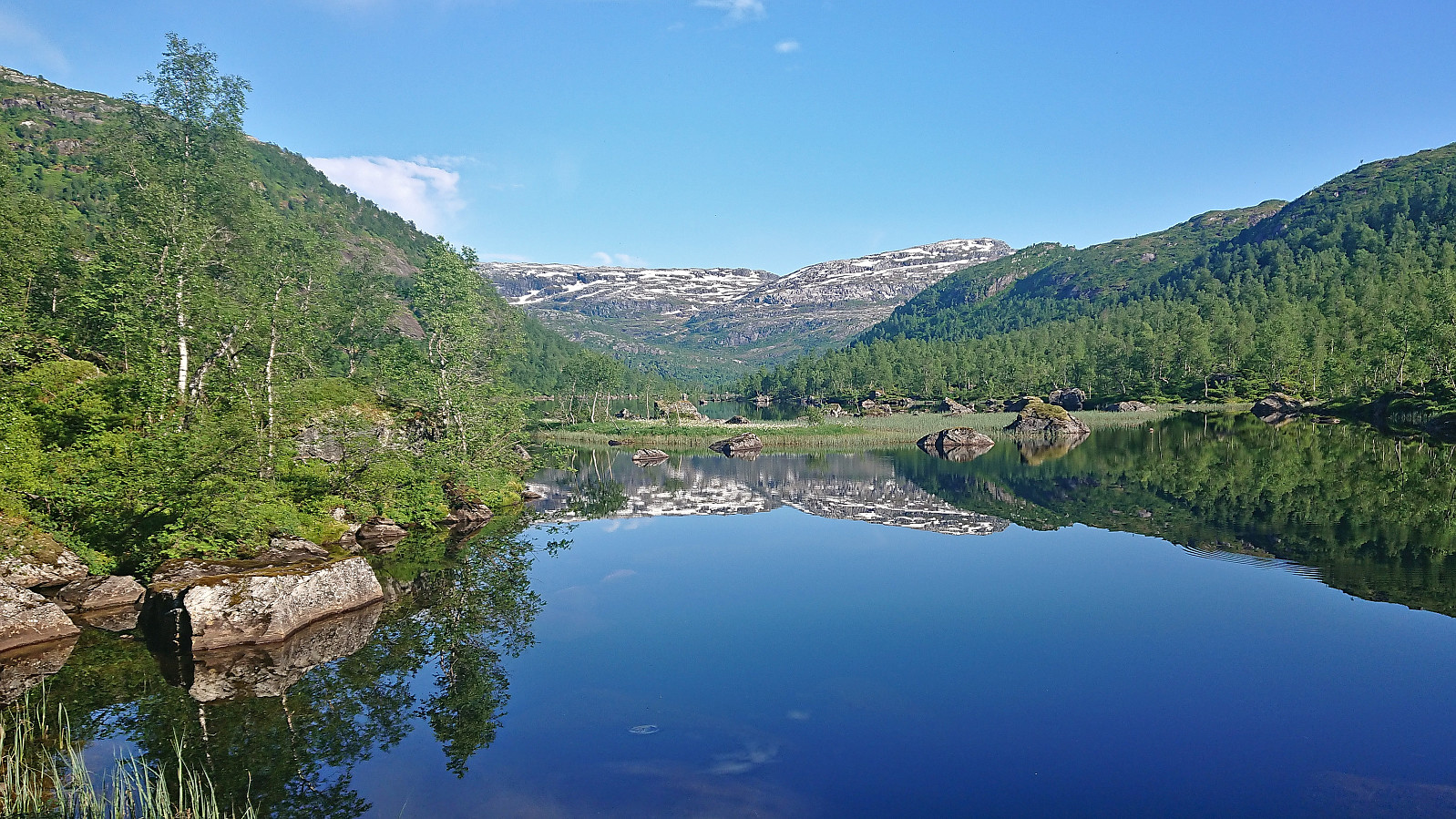
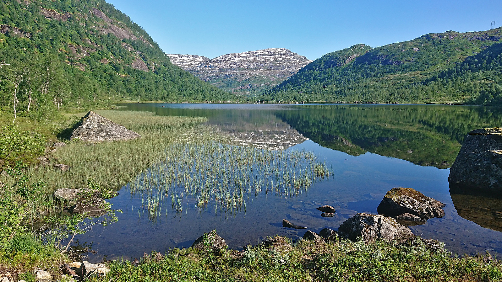
After another short break, we descended southwest along the ridge where we could enjoy some spectacular views along the way. We also spooked yet another deer on our ascent to Kvitavatnet. Before reaching the lake we had to navigate a shorter section of denser vegetation although this can perhaps be avoided. At the southwestern tip of Kvitavatnet there was a dam/bridge that easily took us to the other side where we found a trail/track that we hoped would take us down to Nystølen.
However, the trail/track did not fit with what was on the map and we therefore soon left it to locate the proper trail. This turned out to be a mistake as we had in fact been on the proper trail. We had simply not zoomed in enough, as this moved the trail up to 100 meters east or west. But as soon as we later relocated the trail, i.e. when the two trails overlapped, it was straightforward to reach Steinavatnet and follow the marked trail via Olav Nygards bu back to the car.
In summary, except for my steep off-trail ascent to Storfjellet, and the trail confusion south of Kvitavatnet, this was a hike that can be very highly recommended. And if following Endre's ascent route, the ascent to Storfjellet should also be straightforward.
Takker igjen for turen Endre! :)
| Start date | 25.06.2023 10:09 (UTC+01:00 DST) |
| End date | 25.06.2023 19:11 (UTC+01:00 DST) |
| Total Time | 9h 01min |
| Moving Time | 6h 50min |
| Stopped Time | 2h 11min |
| Overall Average | 2.5km/h |
| Moving Average | 3.3km/h |
| Distance | 22.2km |
| Vertical meters | 1,307m |


User comments