
Manfjellet and Kjetilsnuten (24.06.2023)

Written by hbar (Harald Barsnes)

| Start point | Fitjadalen p-plass (273m) |
|---|---|
| Endpoint | Fitjadalen p-plass (273m) |
| Characteristic | Hillwalk |
| Duration | 8h 49min |
| Distance | 19.7km |
| Vertical meters | 1,489m |
| GPS |
|
| Ascents | Kjetilsnuten (1,025m) | 24.06.2023 |
|---|---|---|
| Manfjellet (1,264m) | 24.06.2023 | |
| Visits of other PBEs | Breidablik (1,163m) | 24.06.2023 |
| Fitjadalen p-plass (273m) | 24.06.2023 | |
| Laupsaflyane (632m) | 24.06.2023 |
Manfjellet and Kjetilsnuten
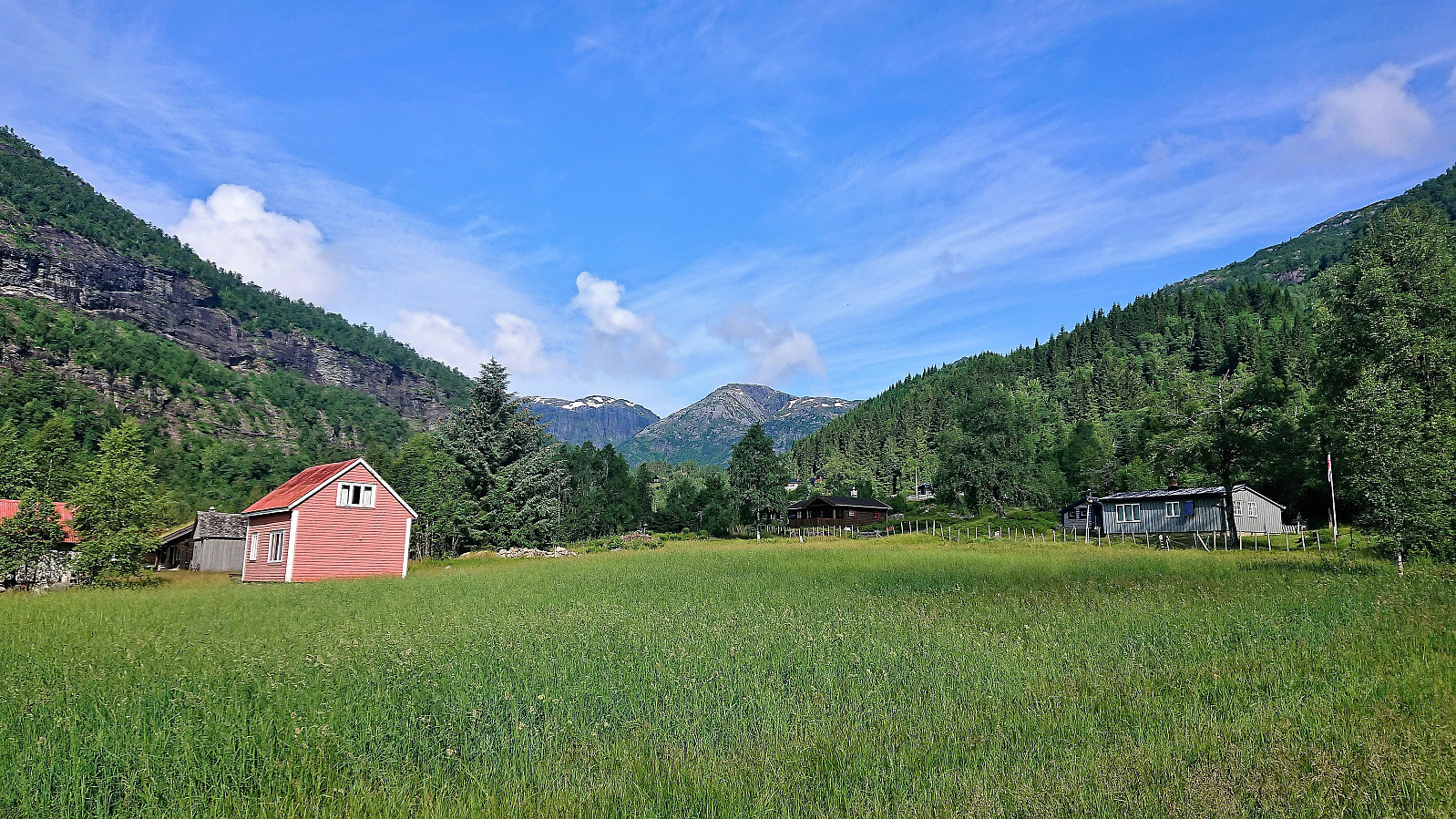
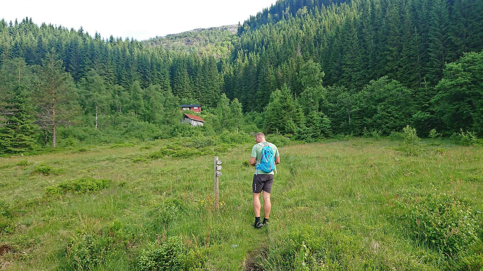
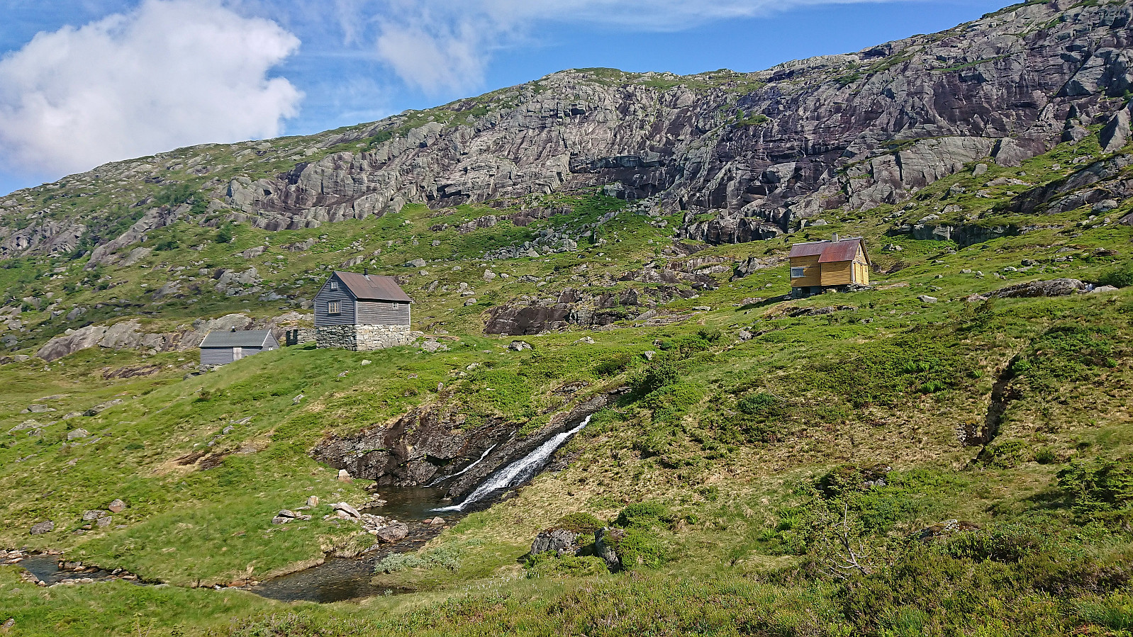
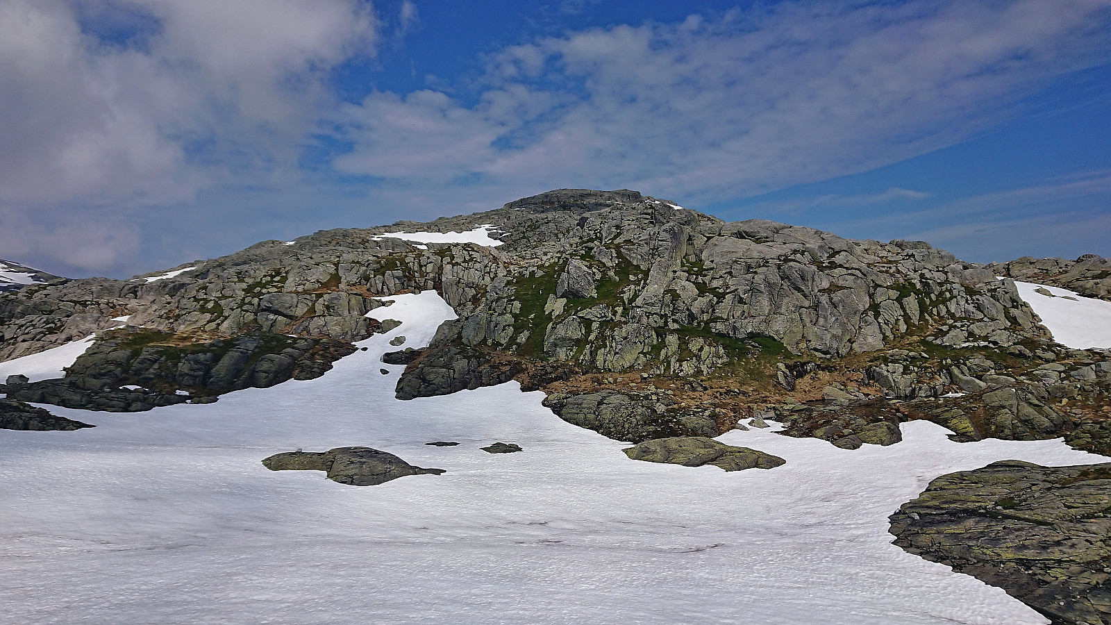
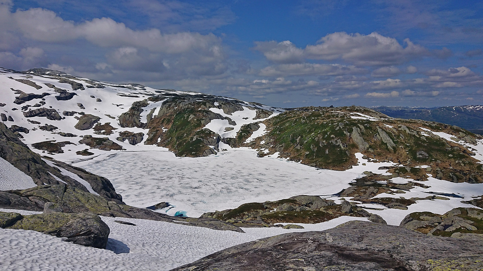
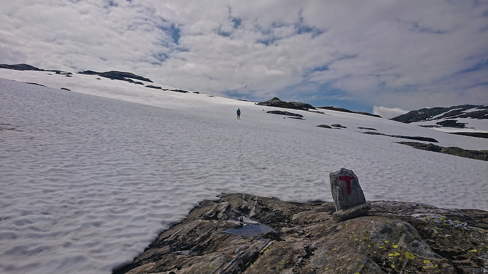
A return to Fitjadalen to visit the two summits me and Fjellsamleren (Endre Myrdal Olsen) had to skip during our last visit due to there simply being too much snow. Once more we parked at Fitjadalen p-plass, but instead of starting north on the trail to Skrott and Breidablikk we returned around 400 meters southeast along the road and from there followed the marked trail to Laupsaflyane. The trail was a bit weak at times, and the trail markers not the most consistent, but overall this initial ascent was straightforward.
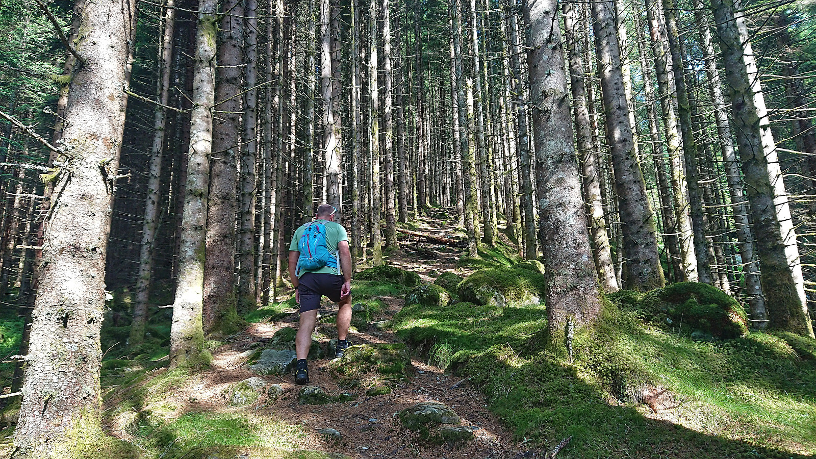
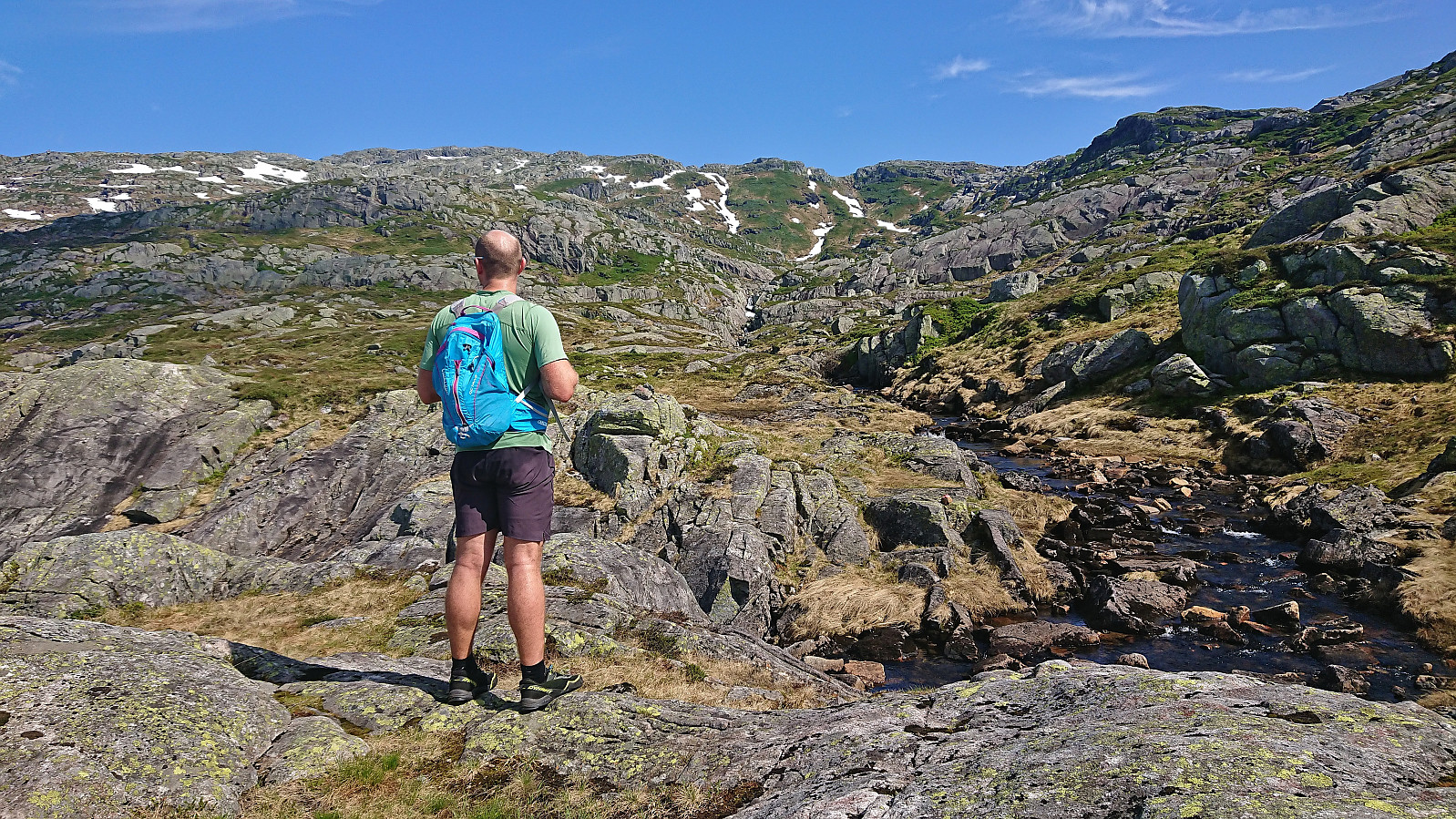
At Laupsaflyane the trail disappeared so we headed off-trail towards the southeast in order to connect with the trail to Manfjellet from this trip suggestion at ut.no. At first we struggled to locate the mentioned trail, especially as it was not indicated on the map, however we soon spotted the first red/pink trail markers that would lead us all the way to the summit. We did lose the markers once or twice, but never had to go far before relocating them.
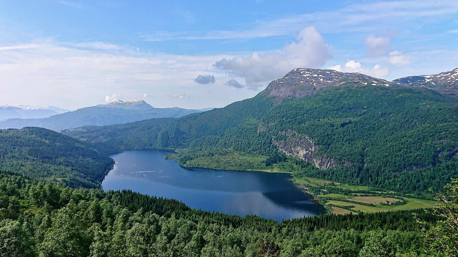
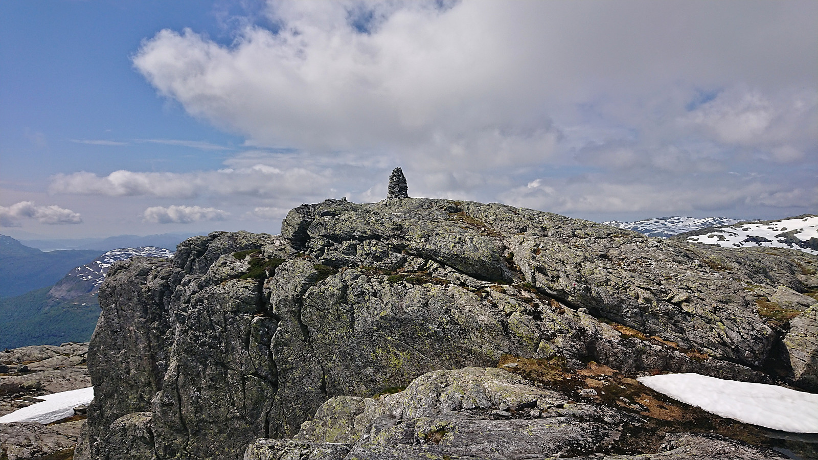
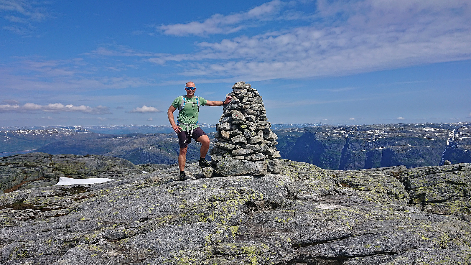
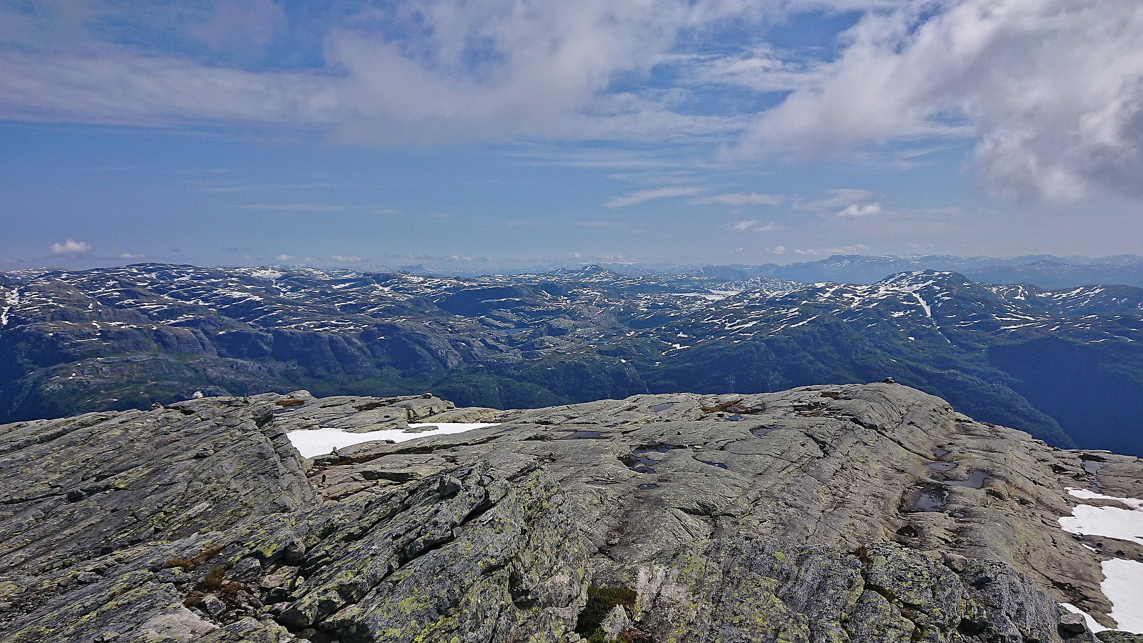
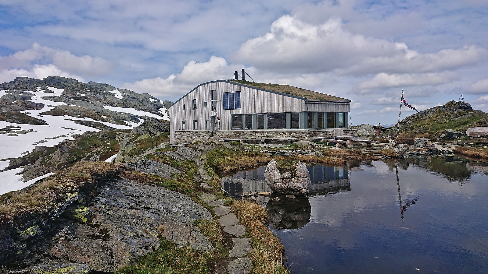
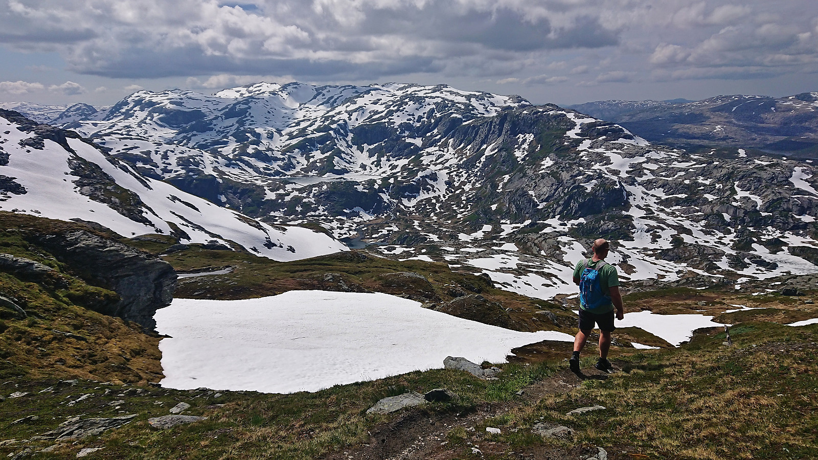
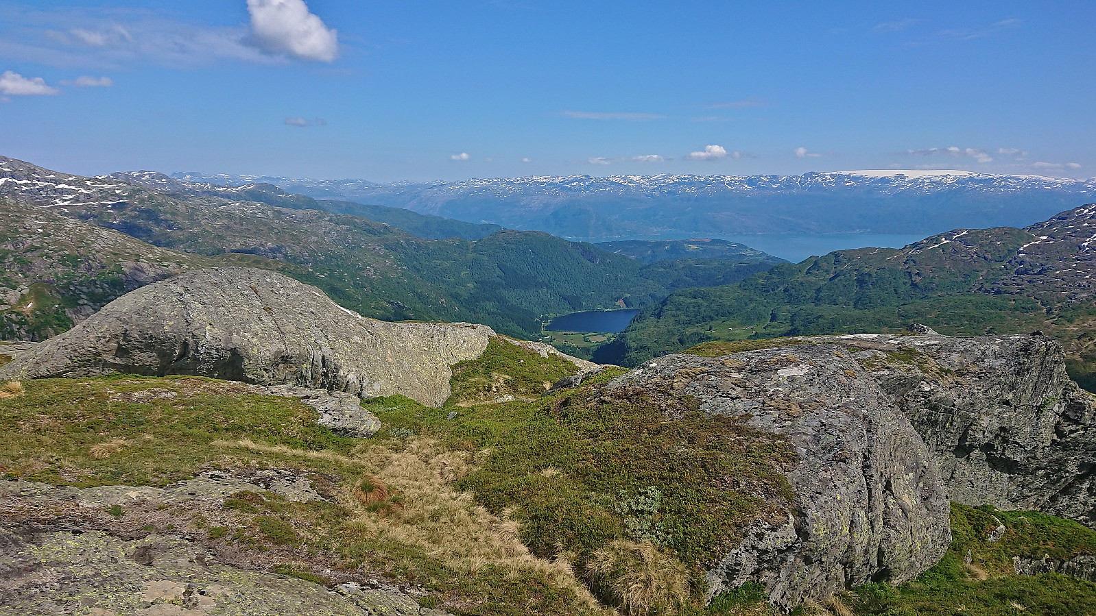
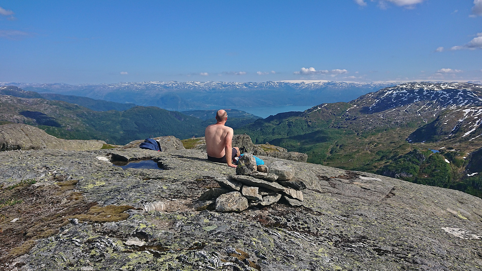
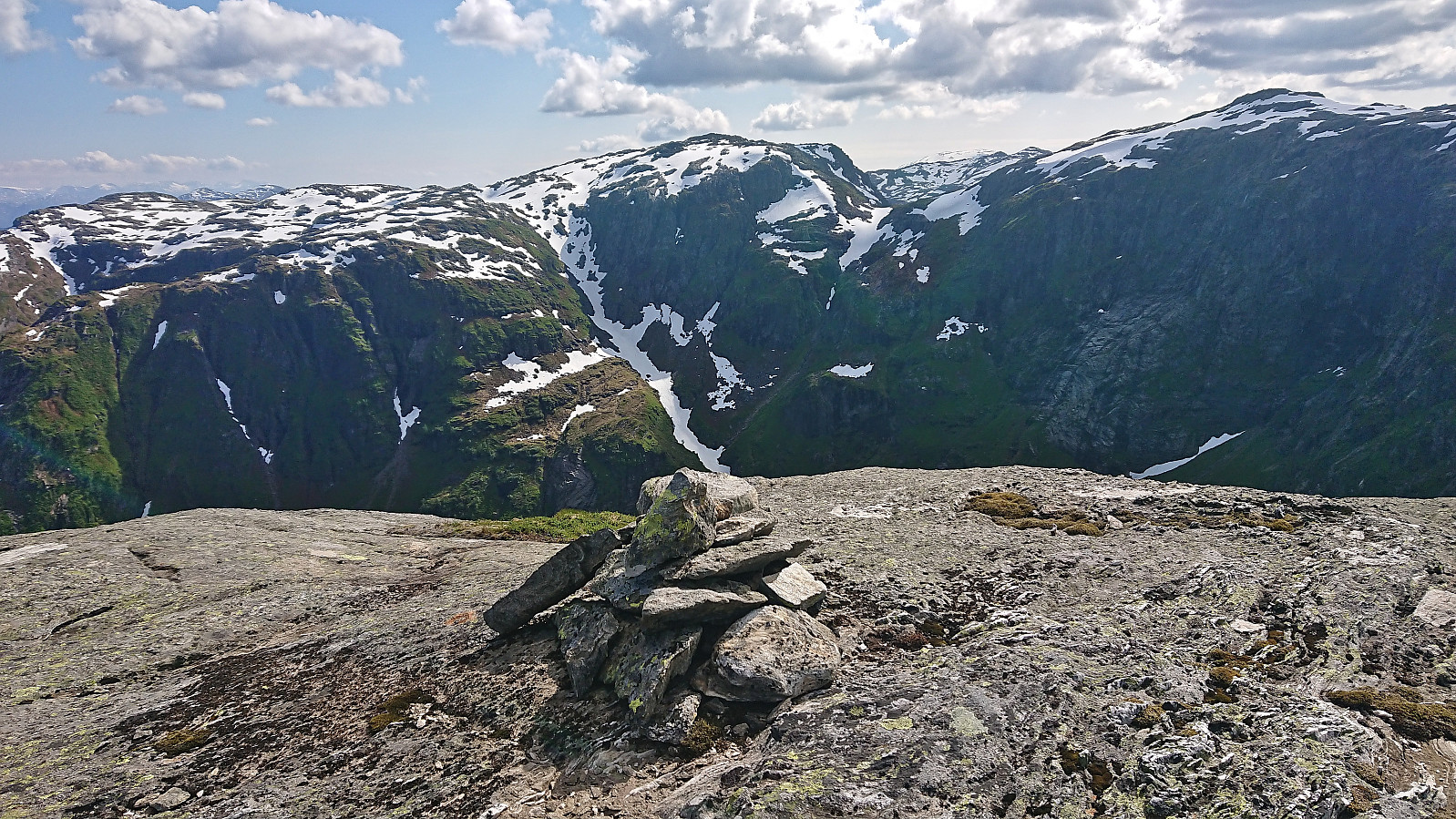
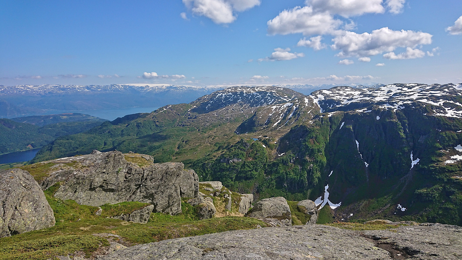
Manfjellet provided excellent views, and after a break at the summit we continued north with the plan of later turning west to Breidablik. The terrain here was not really on our side though and we ended up rounding north of Skrottatjørn before finally turning west and connecting with the marked trail to Breidablik. There is probably a shorter route to be found here though if spending a bit more time exploring.
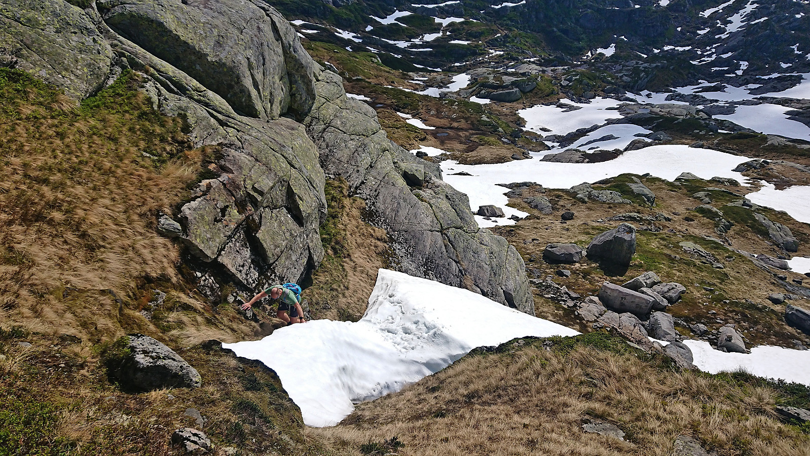
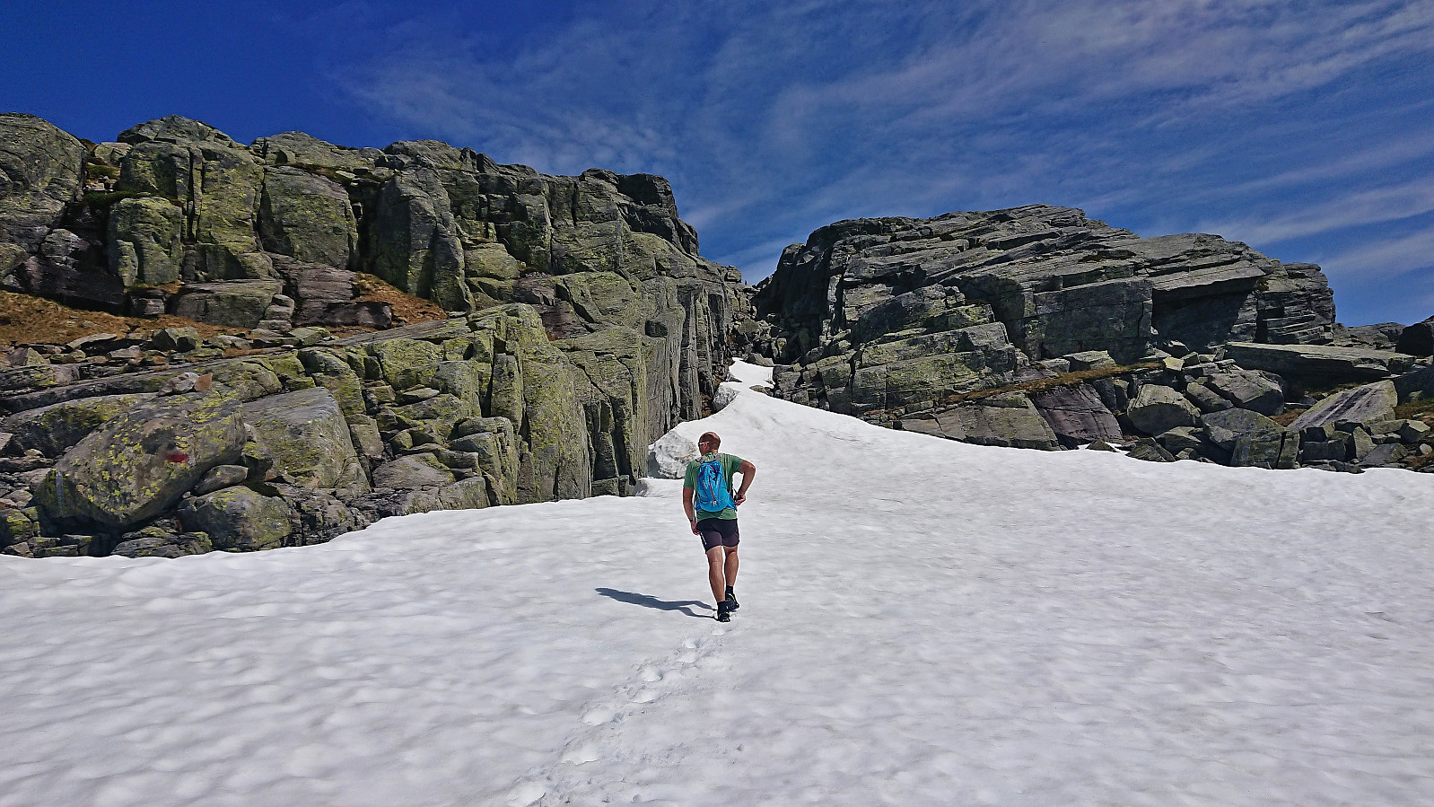
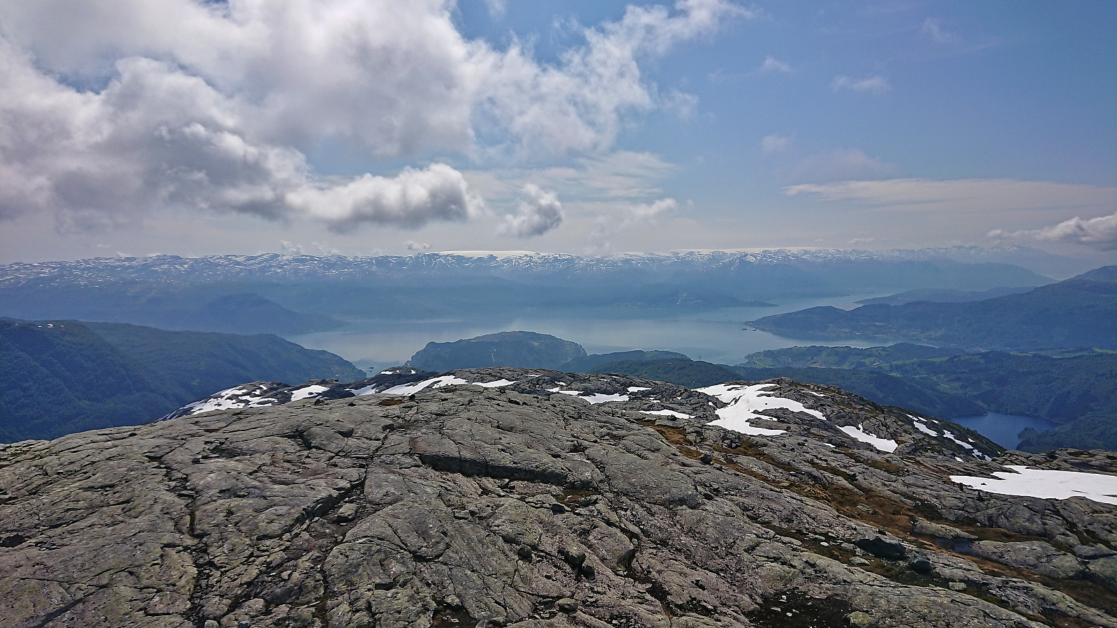
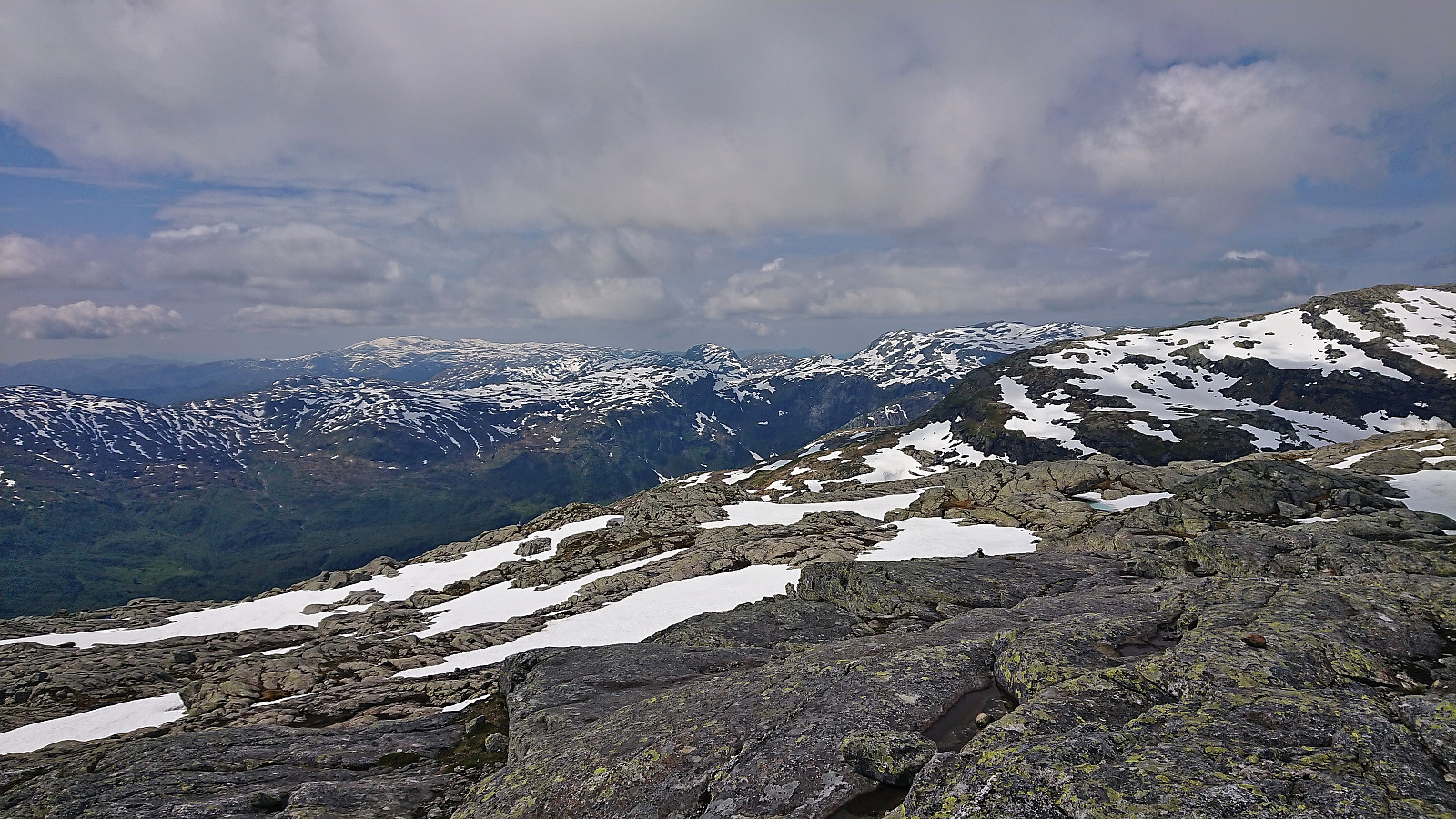
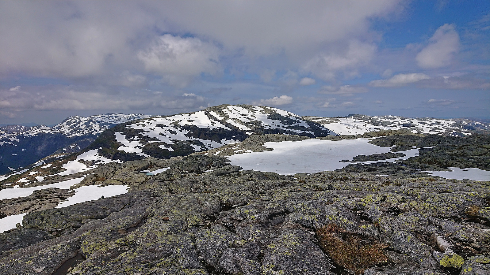
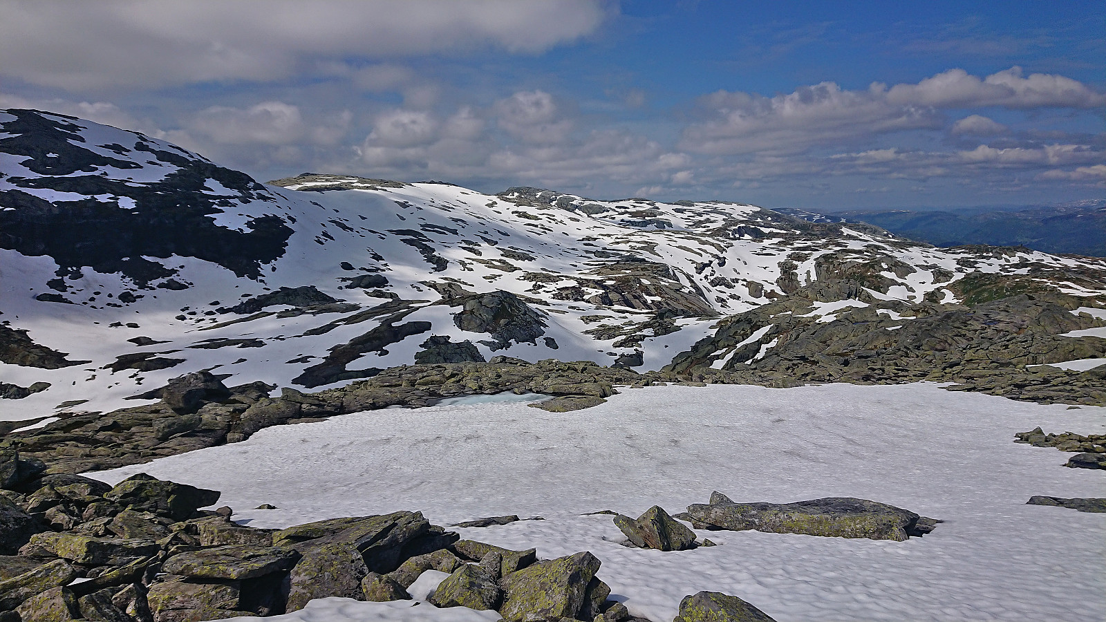
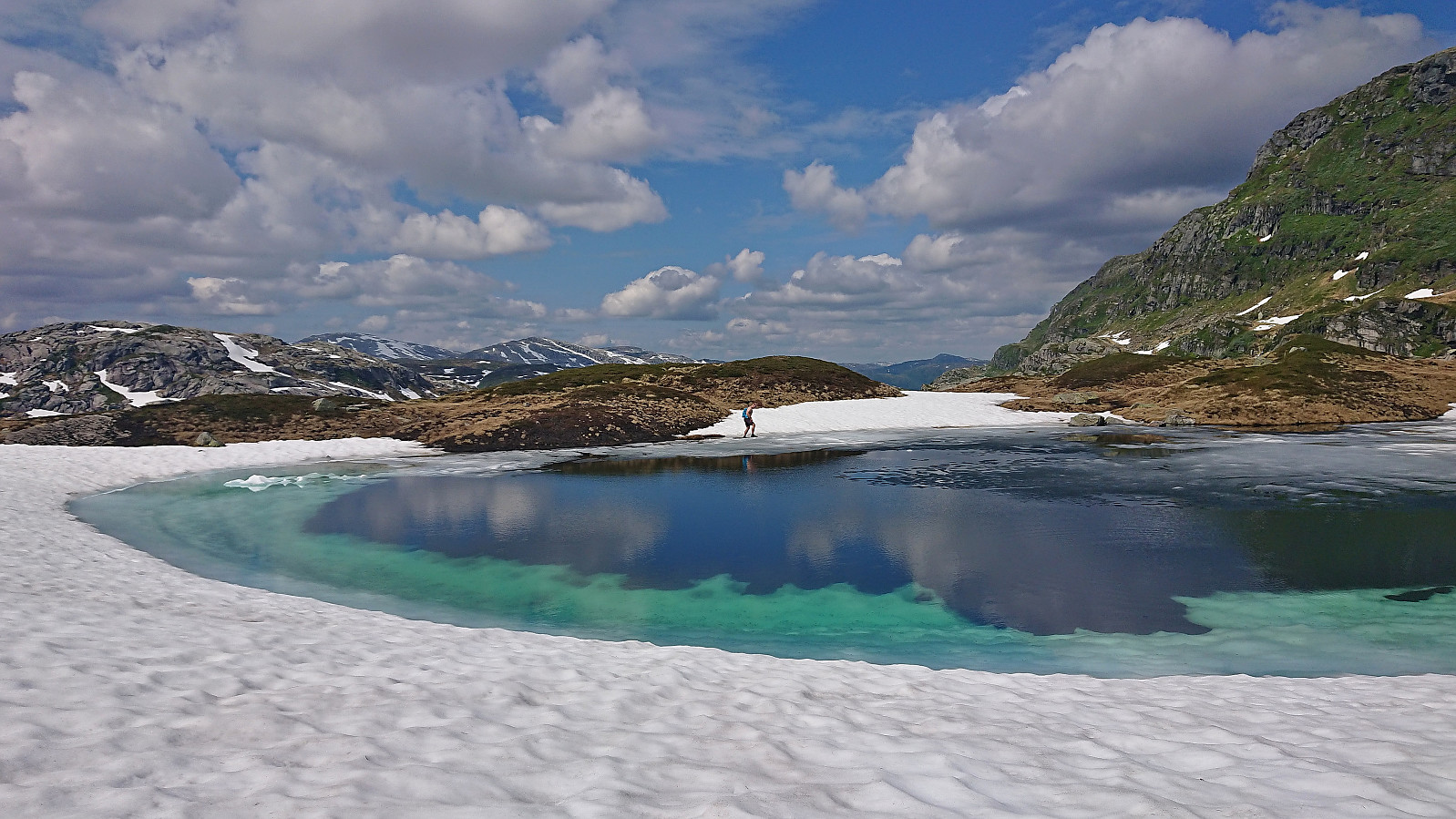
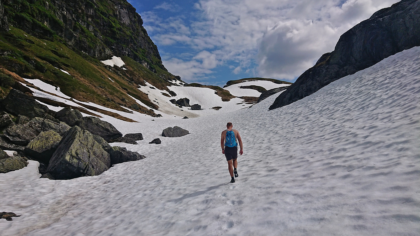
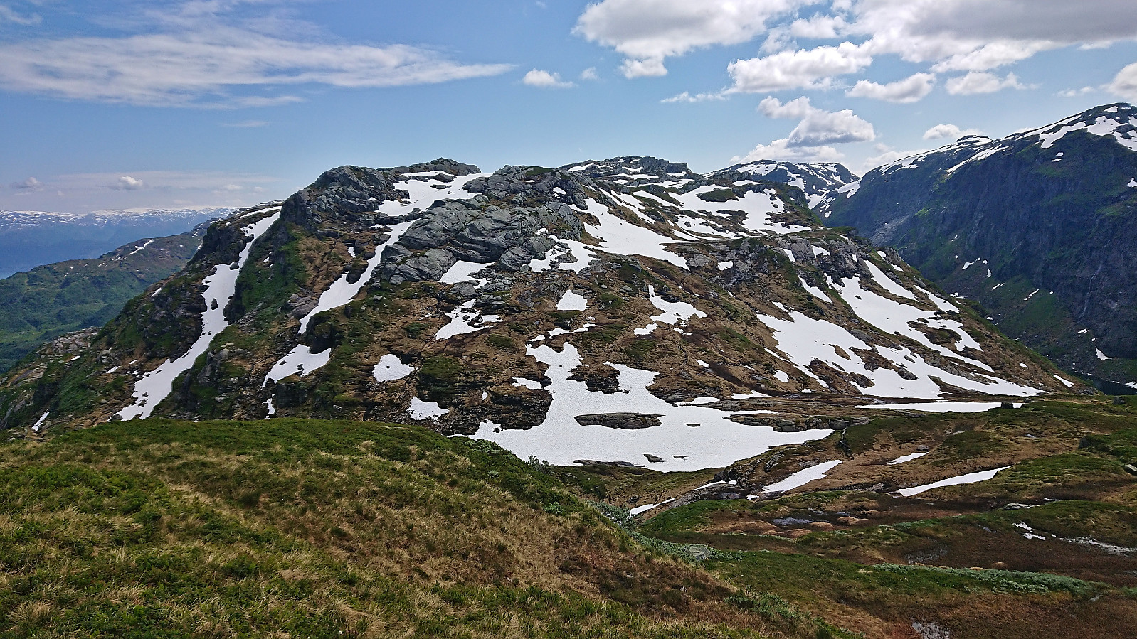
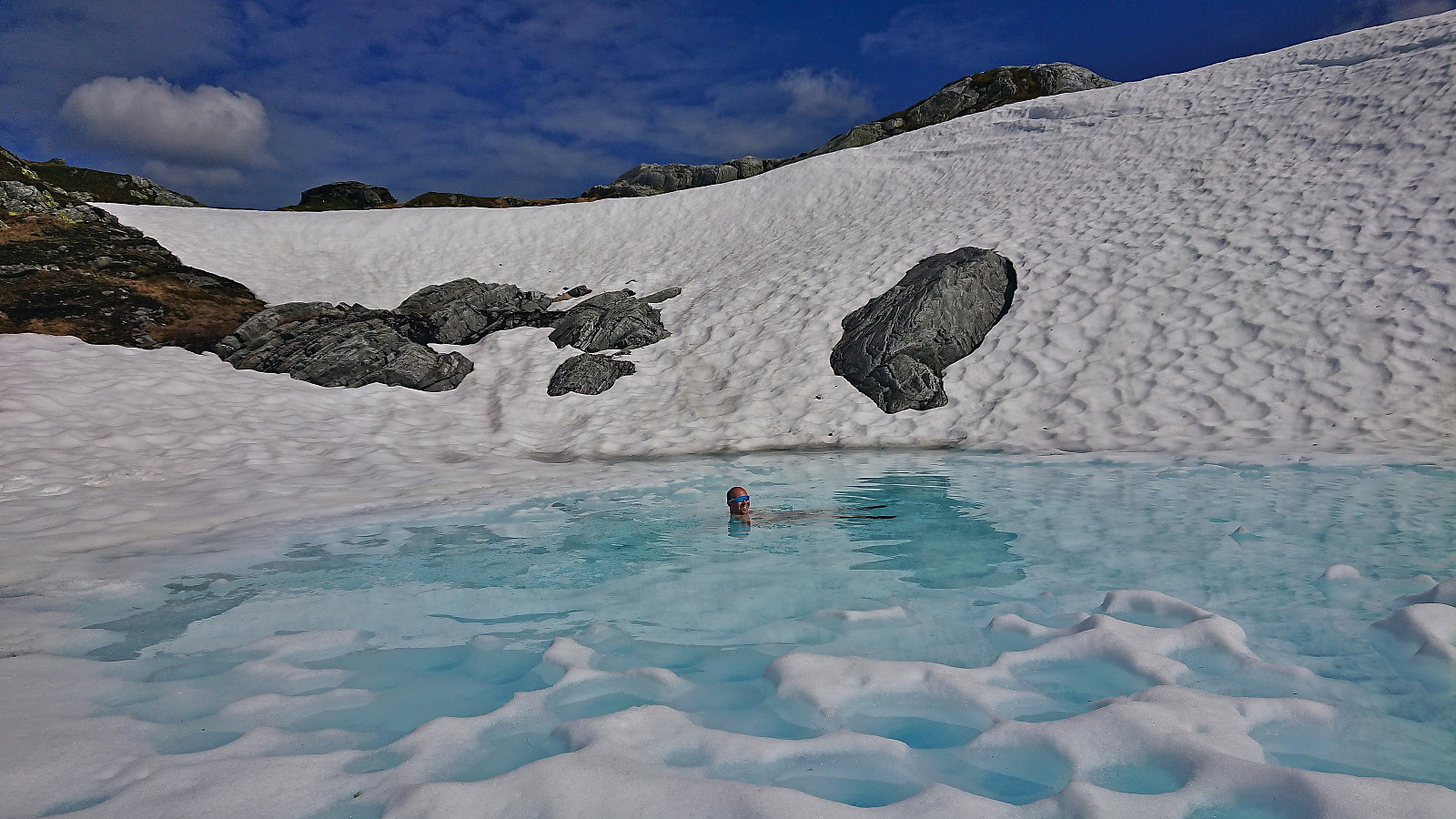
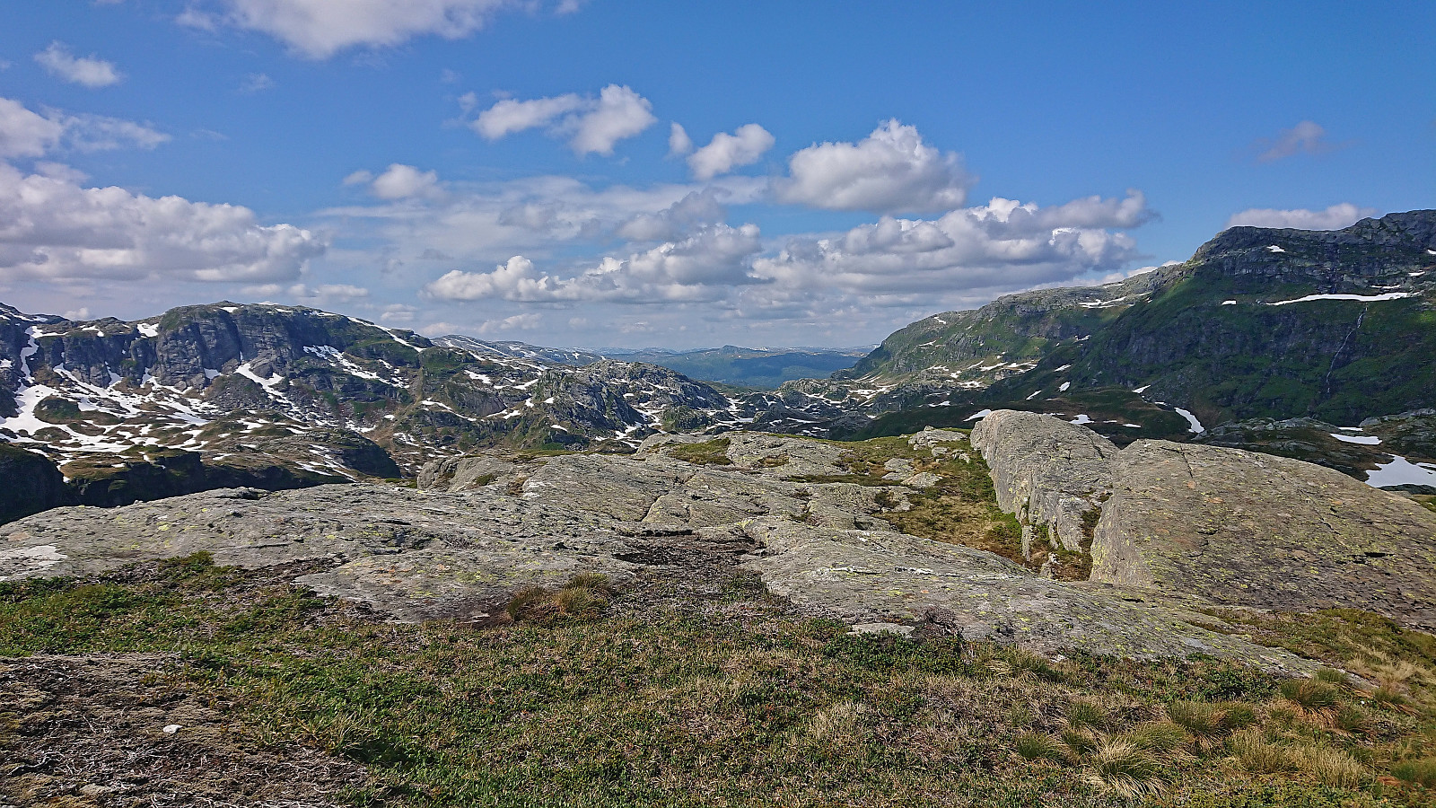
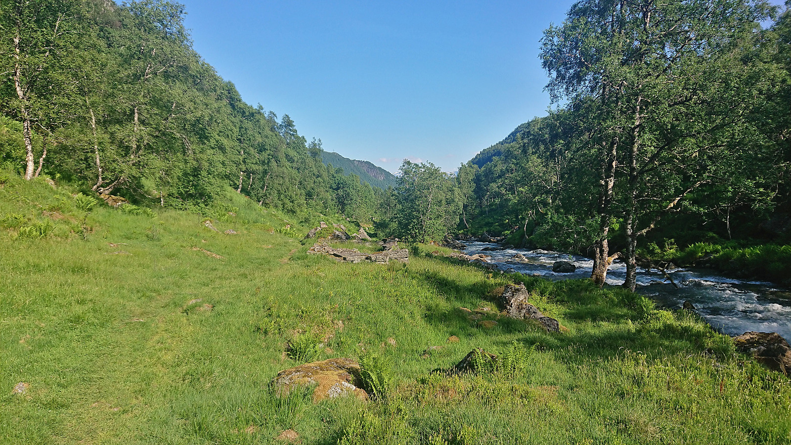
At Breidablik we took a second long break before heading west into Fugladalen which provided some of the best scenery of the whole hike. There is a trail here, but as most of it was hidden under the snow we did not follow it exactly and in the end also made an off-trail shortcut southwest and rounded Skrivarnuten on the eastern side. From there, the final ascent to the summit of Kjetilsnuten was straightforward.
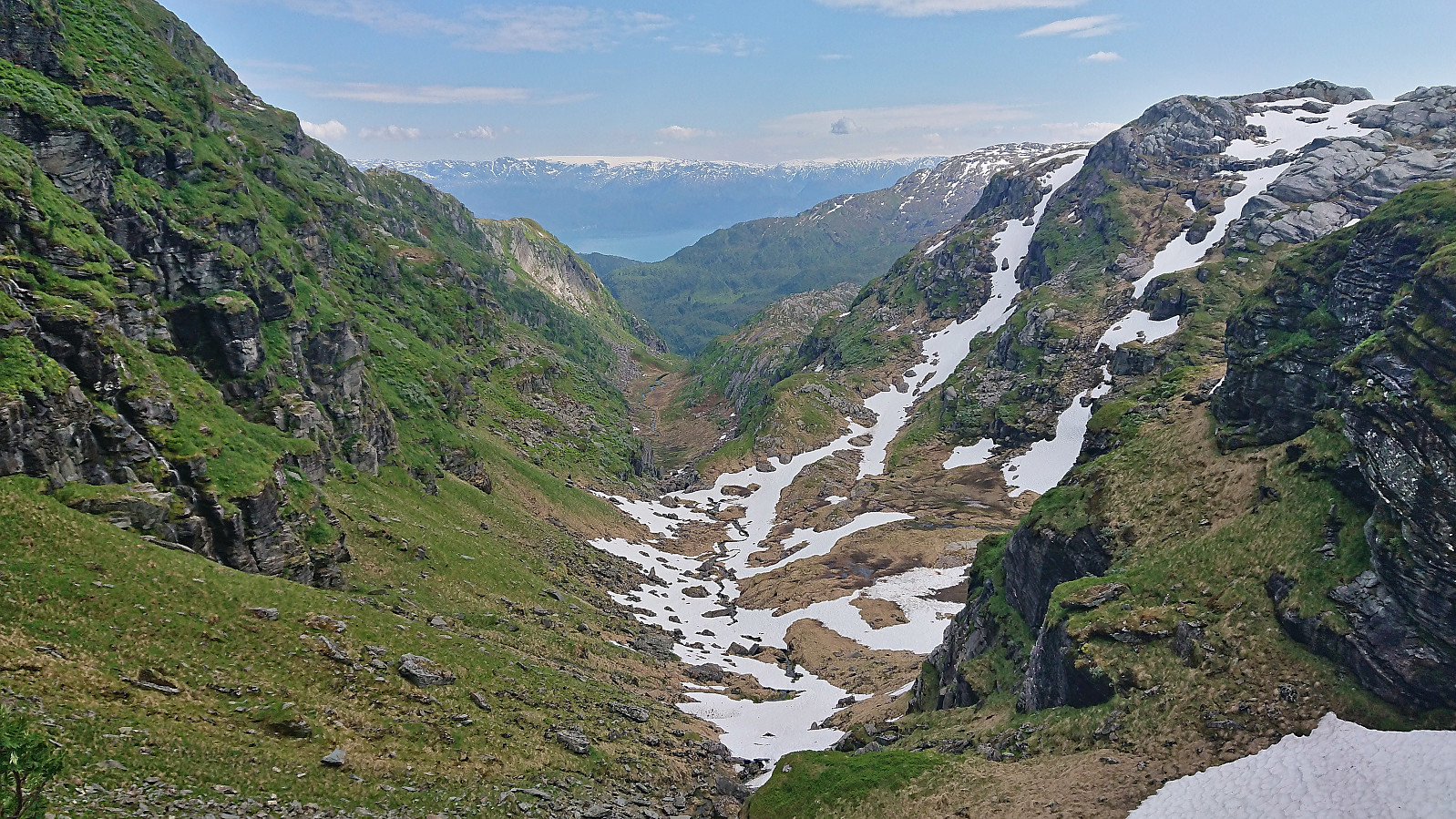
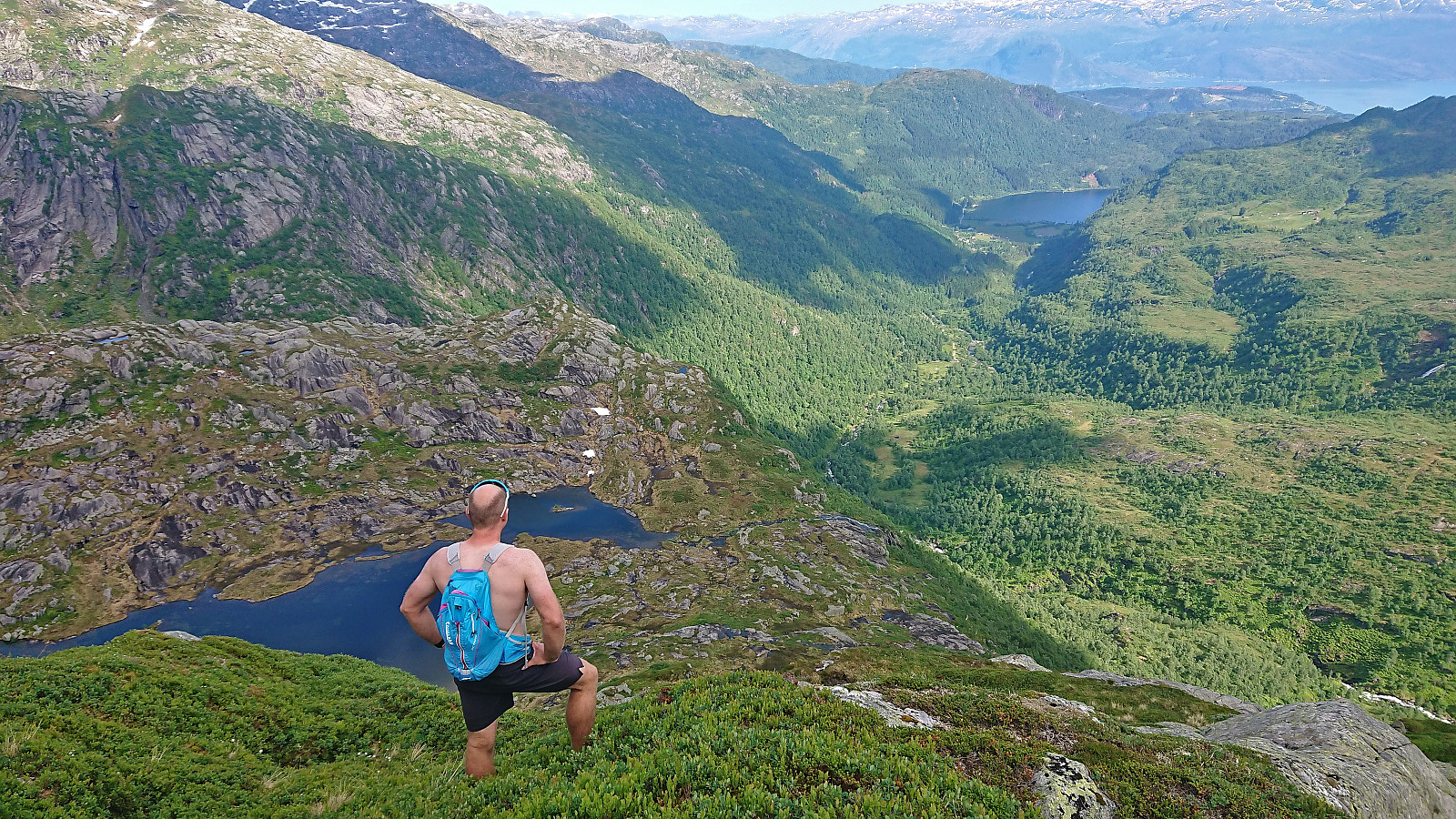
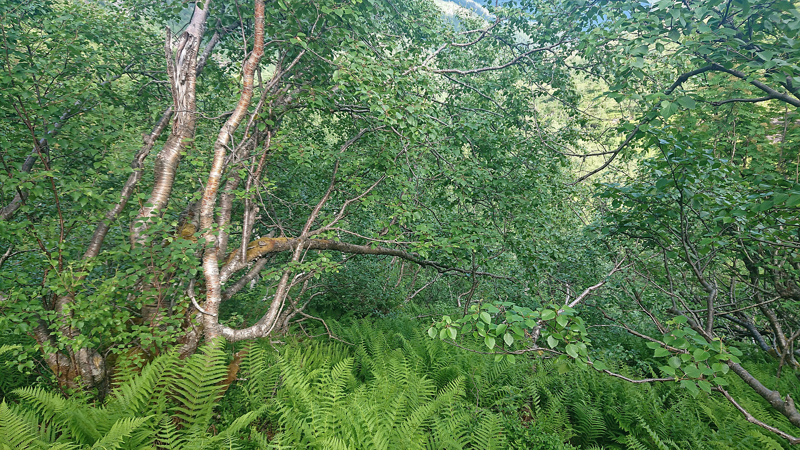
From Kjetilsnuten we could have returned the same way and then returned to the parking lot via Honskursdalen, however Endre suggested that we instead tried a more direct route south to Vossedalselva. The first part of this descent required a bit of careful pathfinding in relatively steep terrain but did not present any real challenges. When we got further down the vegetation however grew much denser and our progress was significantly reduced. At some point we also got separated and thus had to find our separate ways down to the trail.
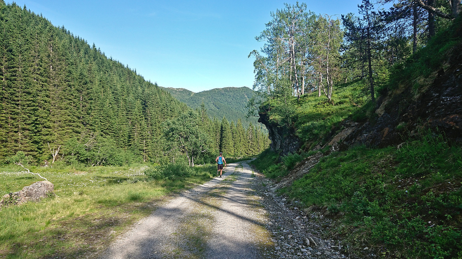
When the struggle finally ended and the trail was reached, I had no way of knowing if Endre was behind me or in front of me, and with Endre's phone having run out of battery earlier on the hike we had no ways of communicating either. I therefore simply started for the parking lot.
Soon after I got confirmed by another hiker coming up the trail that Endre was indeed behind me (or at least not in front of me), which was shortly after confirmed when Endre appeared further up the trail. Apparently, he had taken a more direct descent route than me and had waited for quite some time before concluding that I was ahead of him. After the reunion, all that remained was the final walk back to the car.
To conclude, our ascent via Laupsaflyane to Manfjellet (for the most part) followed a clearly marked trail and can definitely be recommended. The route from Manfjellet to Kjetilsnuten via Breidablik was also ok. The off-trail direct descent from Kjetilsnuten should however rather be avoided. As Endre said: we tried this route so that others don't have to. ;)
Takk for turen Endre! :)

| Start date | 24.06.2023 09:47 (UTC+01:00 DST) |
| End date | 24.06.2023 18:37 (UTC+01:00 DST) |
| Total Time | 8h 49min |
| Moving Time | 6h 42min |
| Stopped Time | 2h 07min |
| Overall Average | 2.2km/h |
| Moving Average | 2.9km/h |
| Distance | 19.7km |
| Vertical meters | 1,488m |


User comments