
Skjeggedalsfjellet via Skjeggedalen (10.06.2023)

Written by hbar (Harald Barsnes)

| Start point | Lund/Skjeggedalen (2m) |
|---|---|
| Endpoint | Lund/Skjeggedalen (2m) |
| Characteristic | Hillwalk |
| Duration | 3h 01min |
| Distance | 5.6km |
| Vertical meters | 544m |
| GPS |
|
| Ascents | Skjeggedalsfjellet (524m) | 10.06.2023 |
|---|
Skjeggedalsfjellet via Skjeggedalen
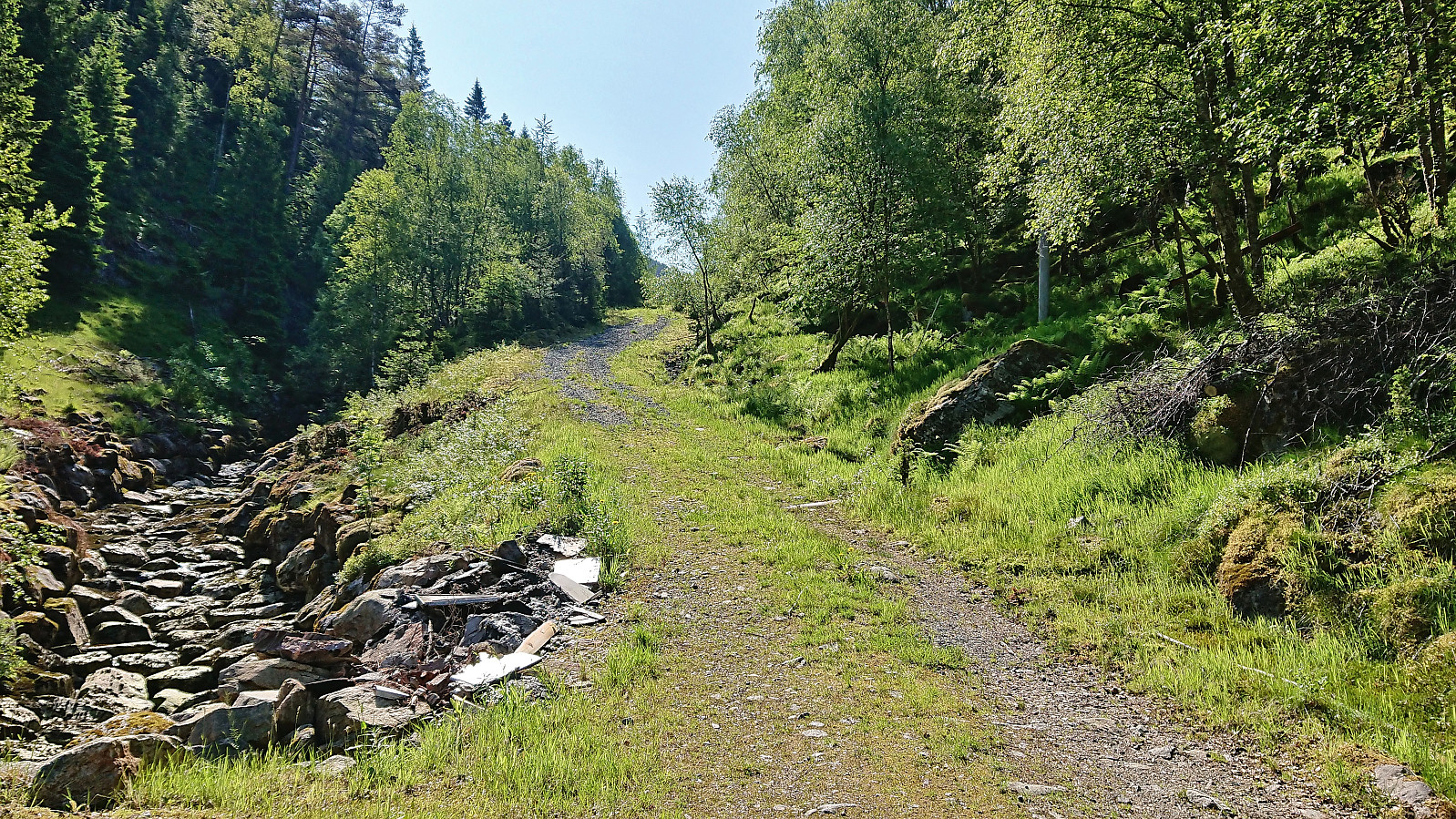
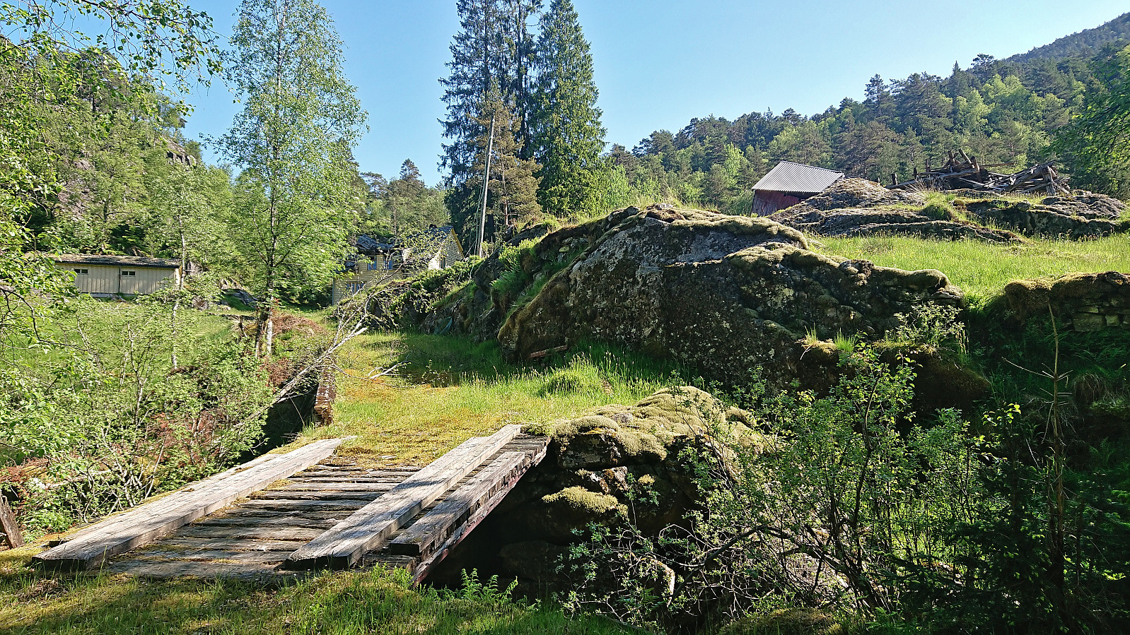
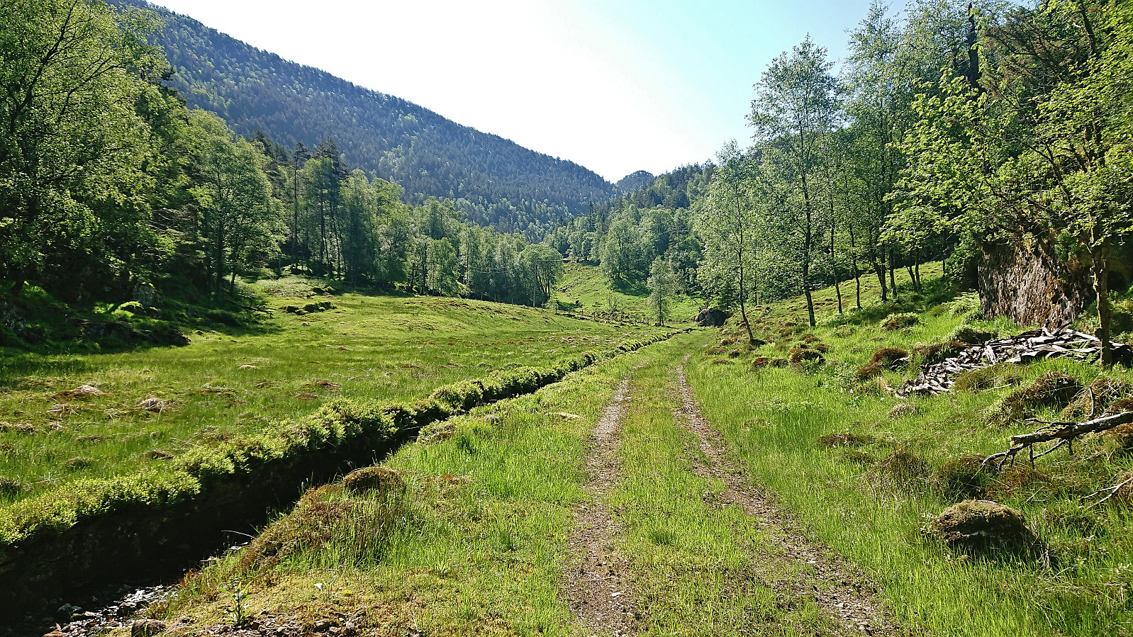
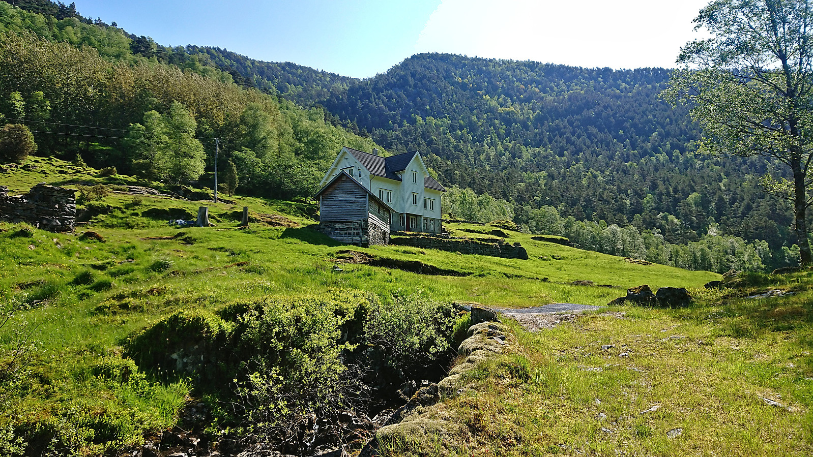
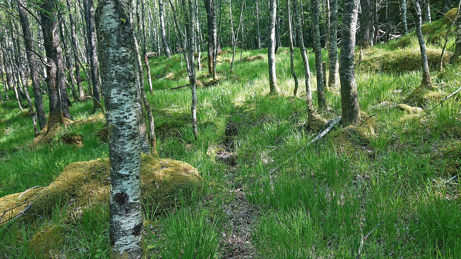
After cycling from Masfjordnes to Lund, I left the bike behind and continued southeast along the tractor road up to the final house at Skjeggedalen. While the farm houses at Lund where all in a sorry state, the large building in Skjeggedalen seemed to be in good condition. Before the hike I had read Kjell51 (Kjell Øijorden)'s trip report where he mentions a possible trail from Skjeggedalen to Skeidalssetra (although he also mentioned that he saw little traces of it himself).
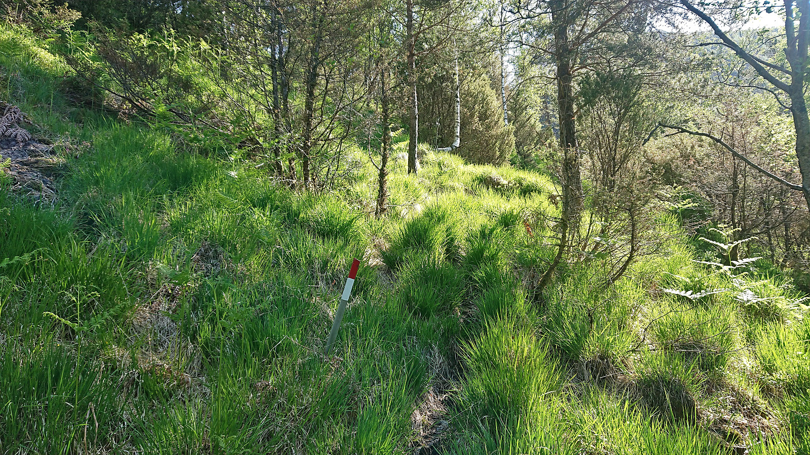
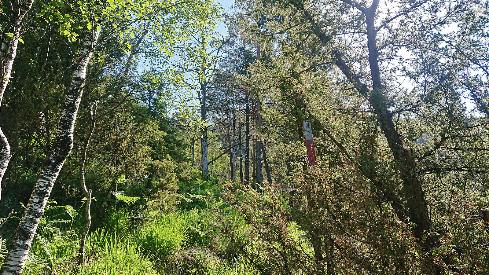
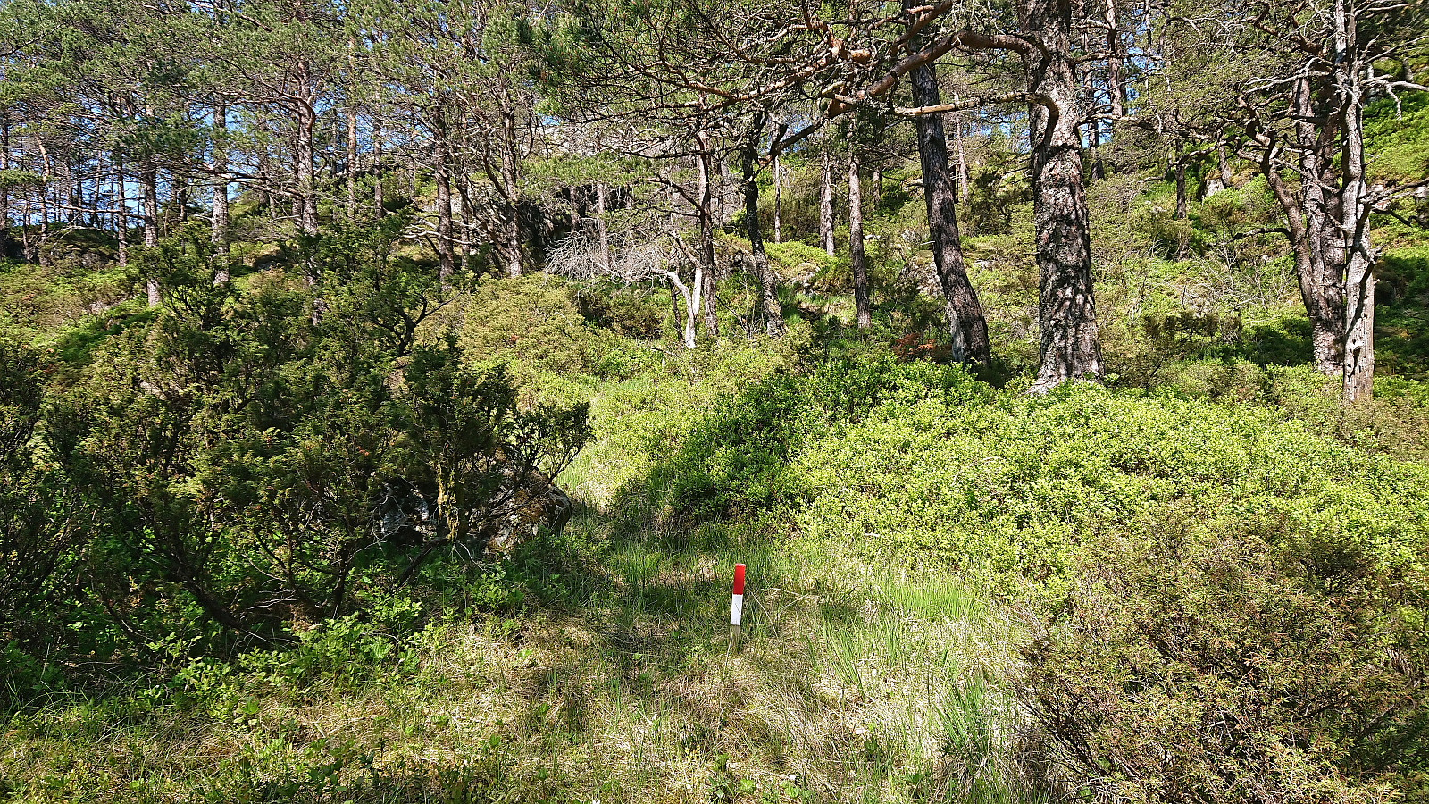
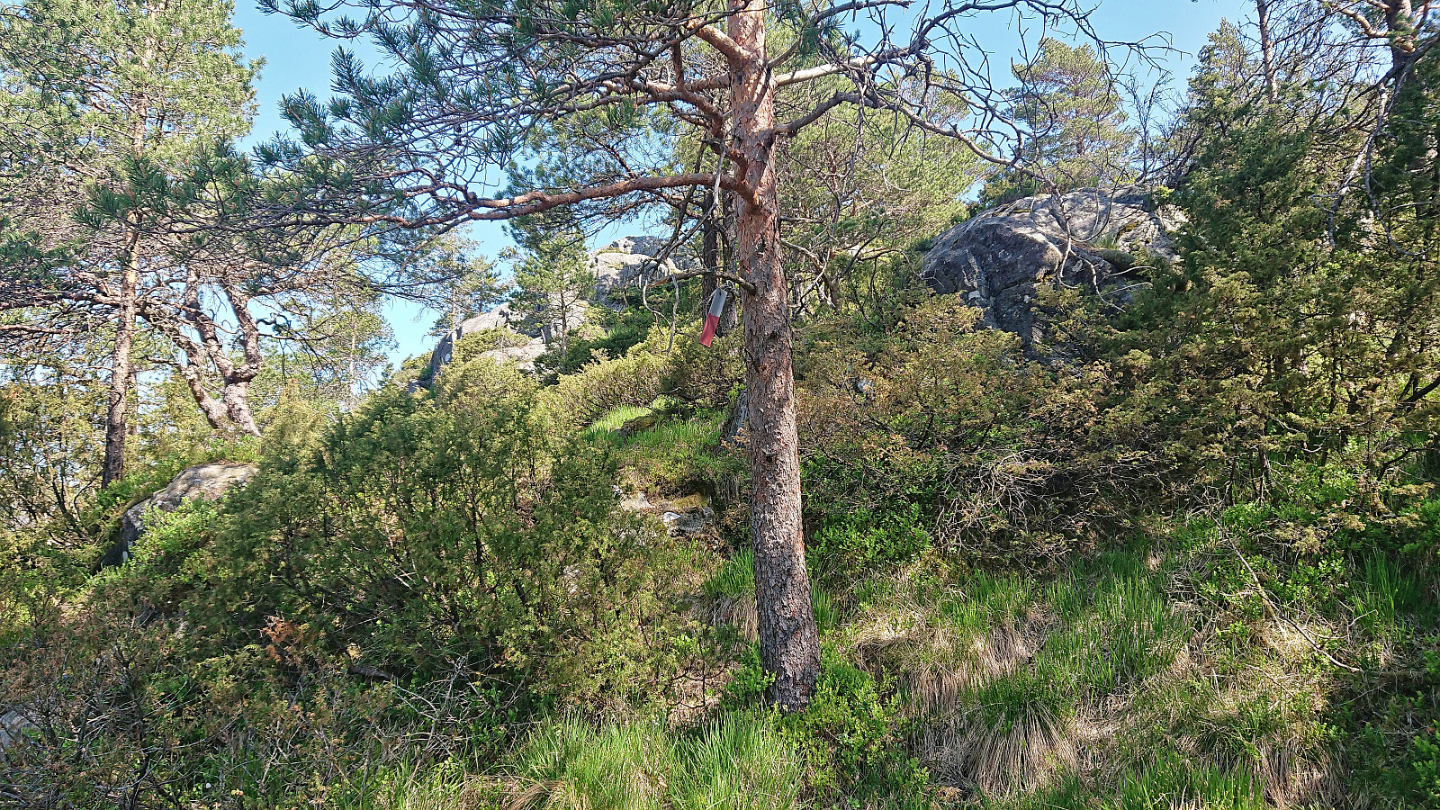
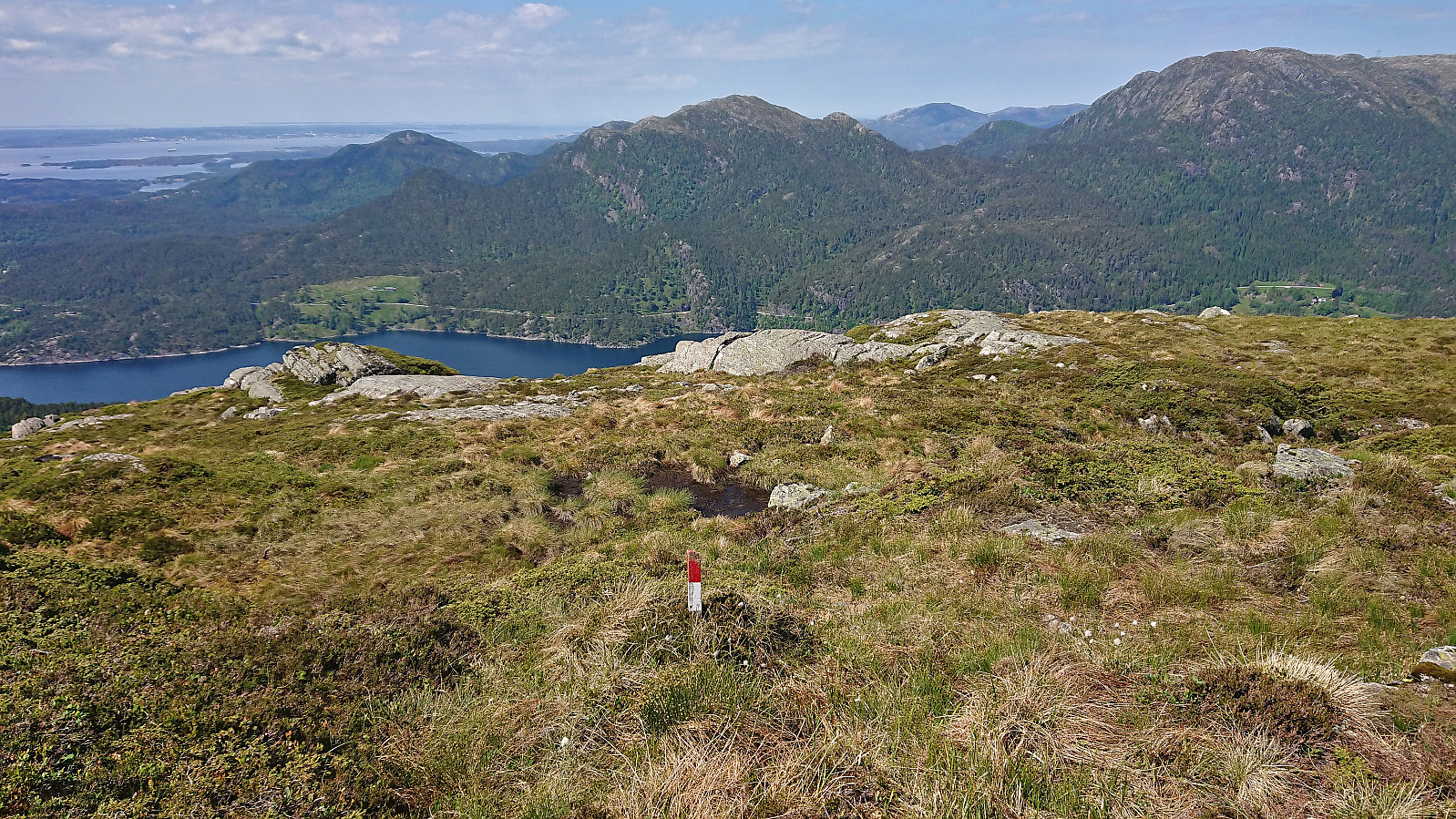
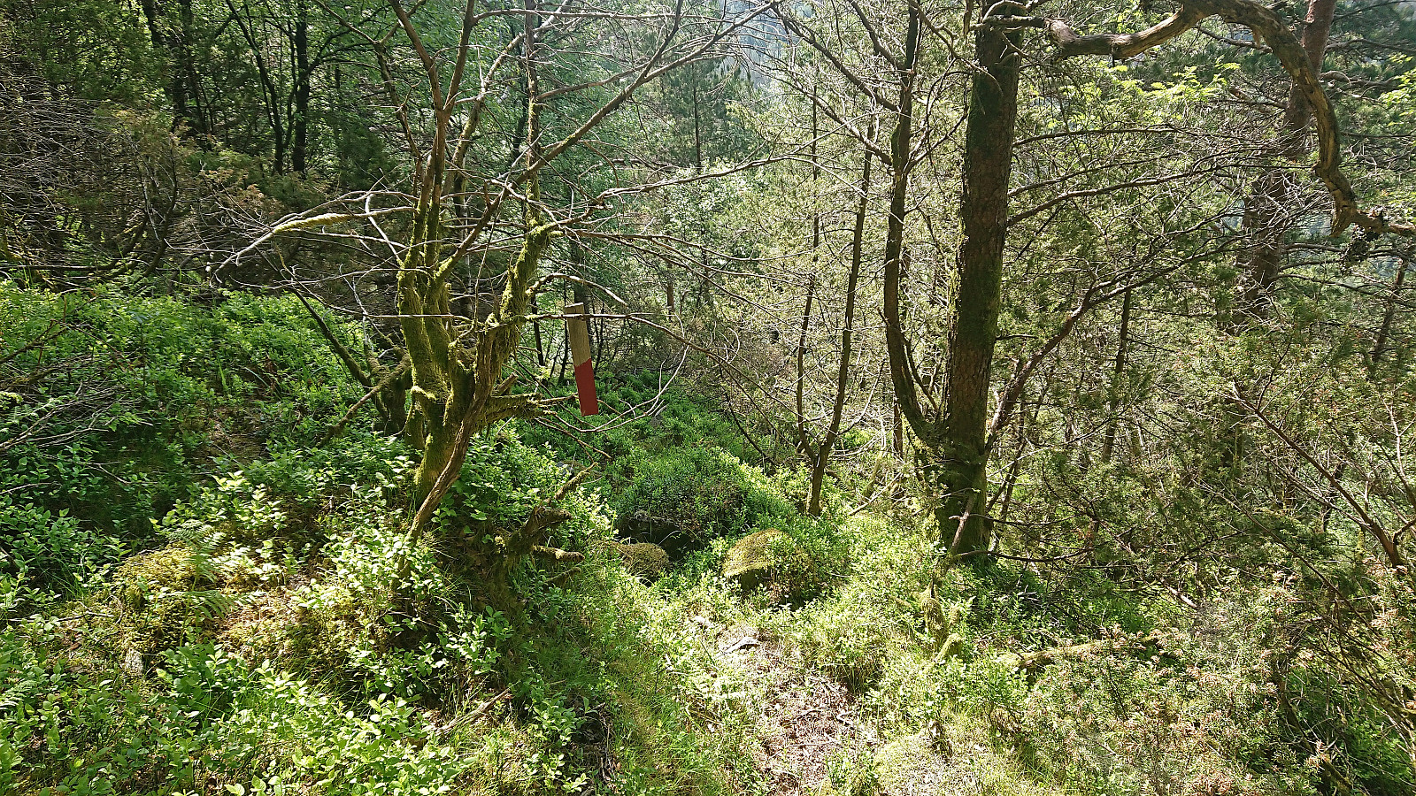
No signs or trail markers from Skjeggedalen as far as I could tell, hence I simply start off-trail in the direction of the summit. Here I found what looked like weak traces of a trail but concluded that they were most likely just deer tracks. I was therefore rather surprised when suddenly coming across a relatively new red trail marker! The trail was still very weak but soon there were two or three additional markers. Perhaps there actually was a trail that could be followed all the way to the summit?
Sadly, I however quickly lost the markers and was left following a weak deer track instead. At this point I should have stopped to have a closer look at the map and perhaps a another look at Kjell's notes. But as I was on a weak track I thought it would still be ok. And there was only around 500 meters to Skeidalssetra. How bad could it get?
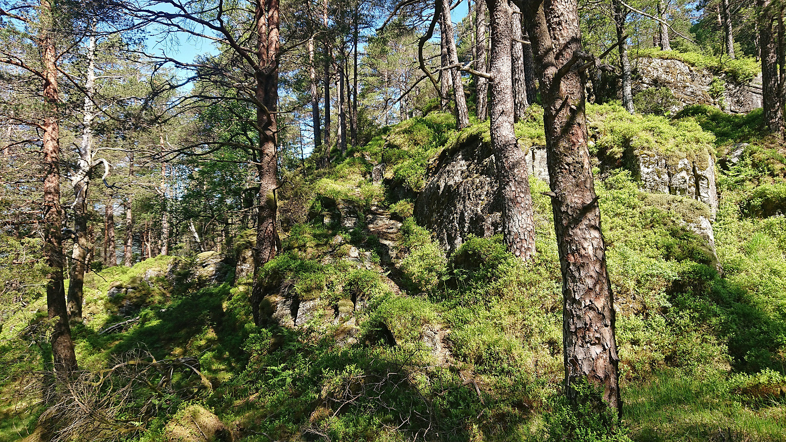
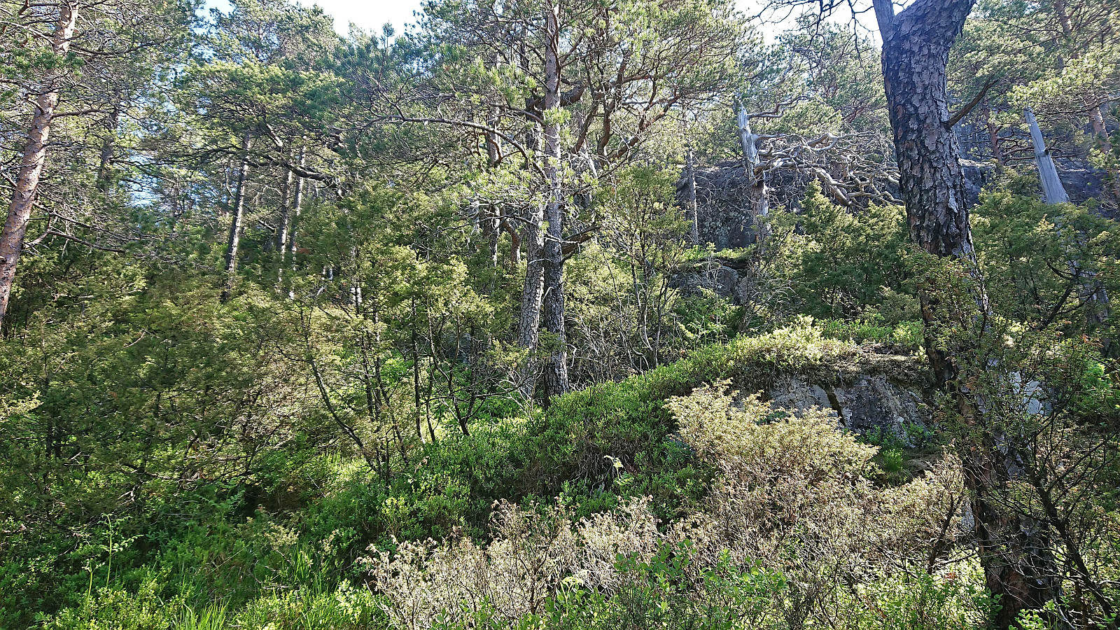
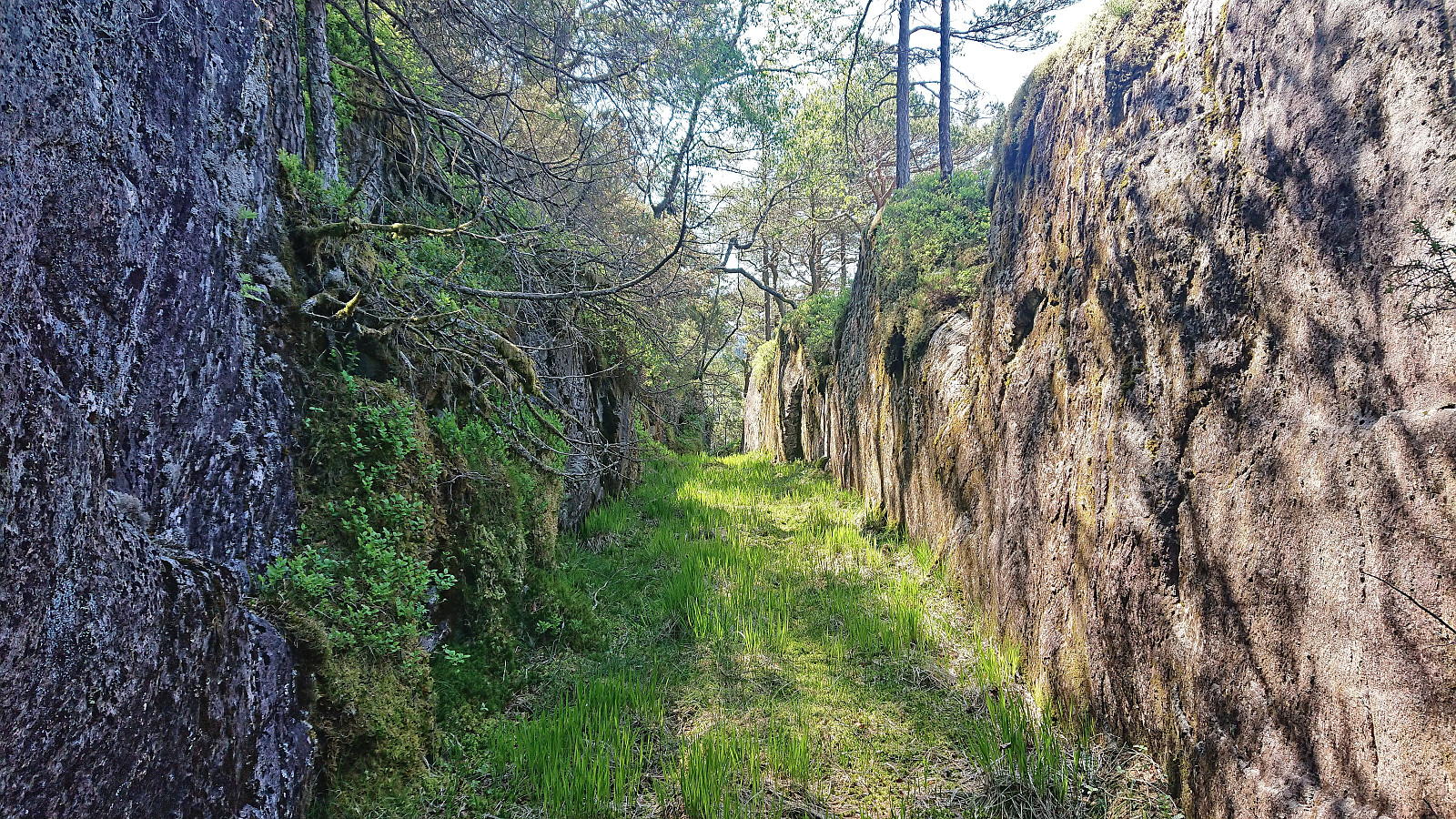
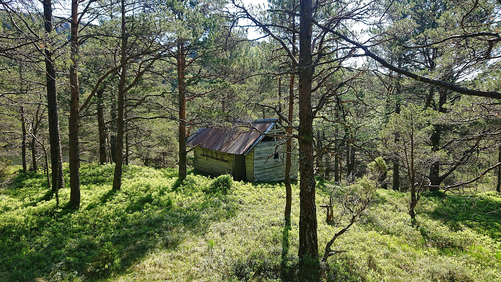
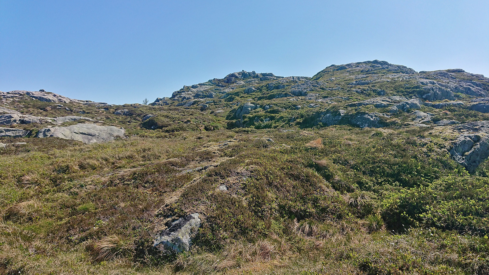
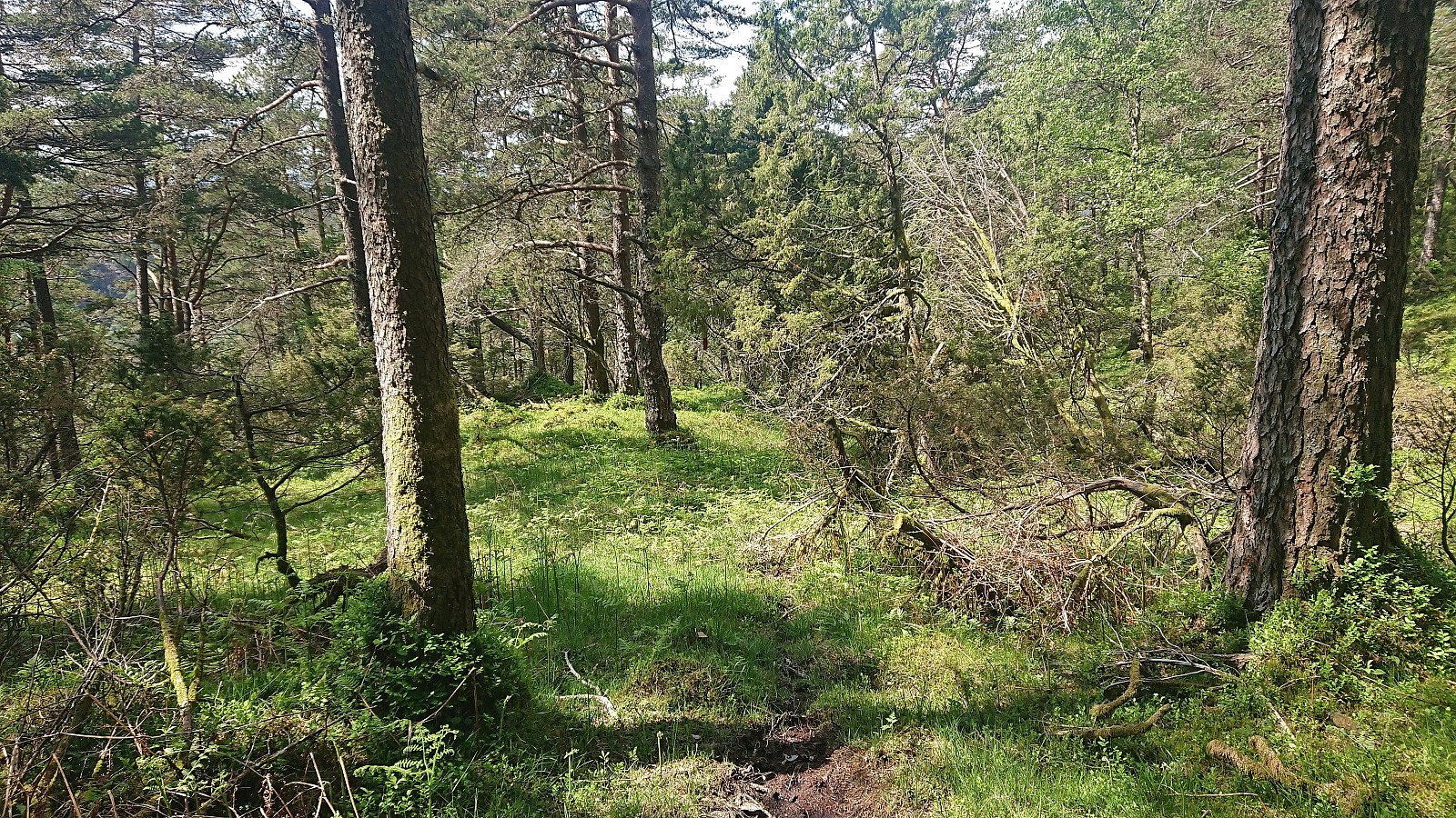
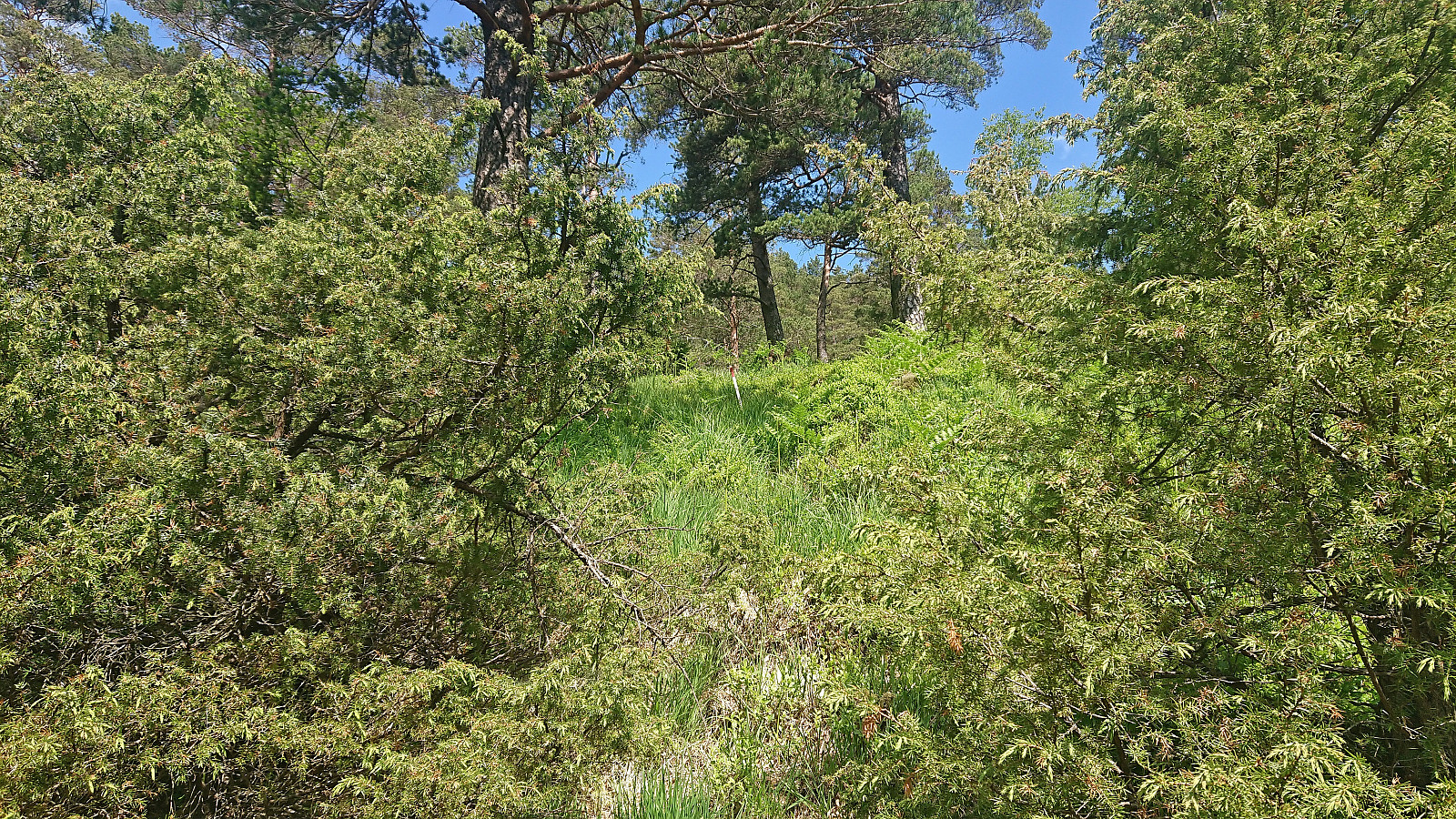
Well, soon also the deer tracks came to an end, which is never a good sign. At the same time the terrain got much steeper and the vegetation much less friendly. Clearly not the best terrain for shorts and t-short. As a result, my progress was greatly slowed down and at times included more scrambling than hiking, with some even steeper areas that simply had to be avoided. I was therefore very happy when finally making it to Skeidalssetra, which consisted of a single building that had clearly seen better days.
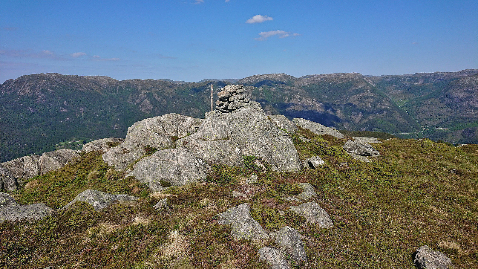
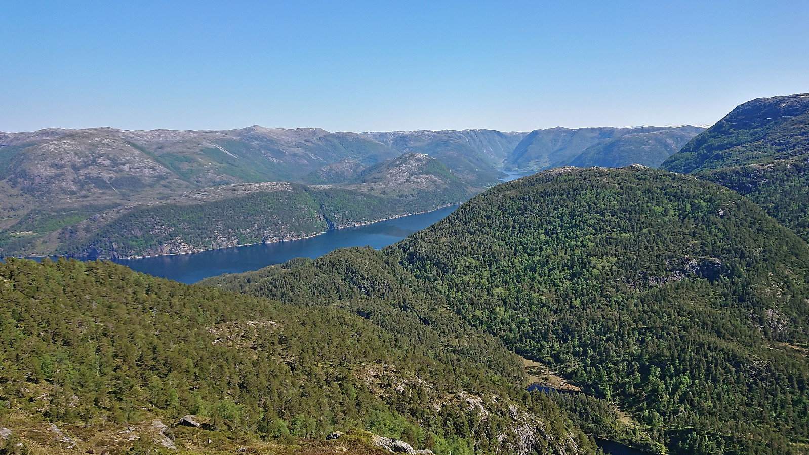
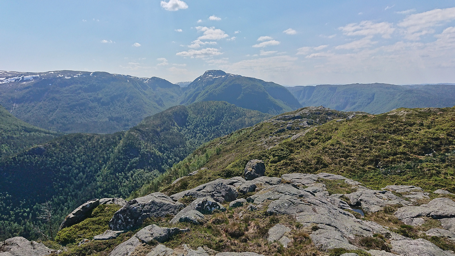
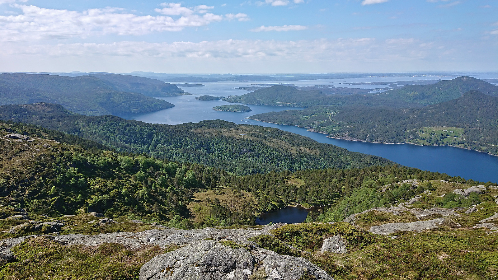
At Skeidalssetra I once more noticed a single trail marker, but as I did not see second one, I simply ignored it and made my way up to the summit ridge. Before getting there I however came across one more marker and for a while tried following a weak but unmarked trail, before giving up and simply heading straight for the summit. The summit provided excellent panoramic views and was well worth the struggle.
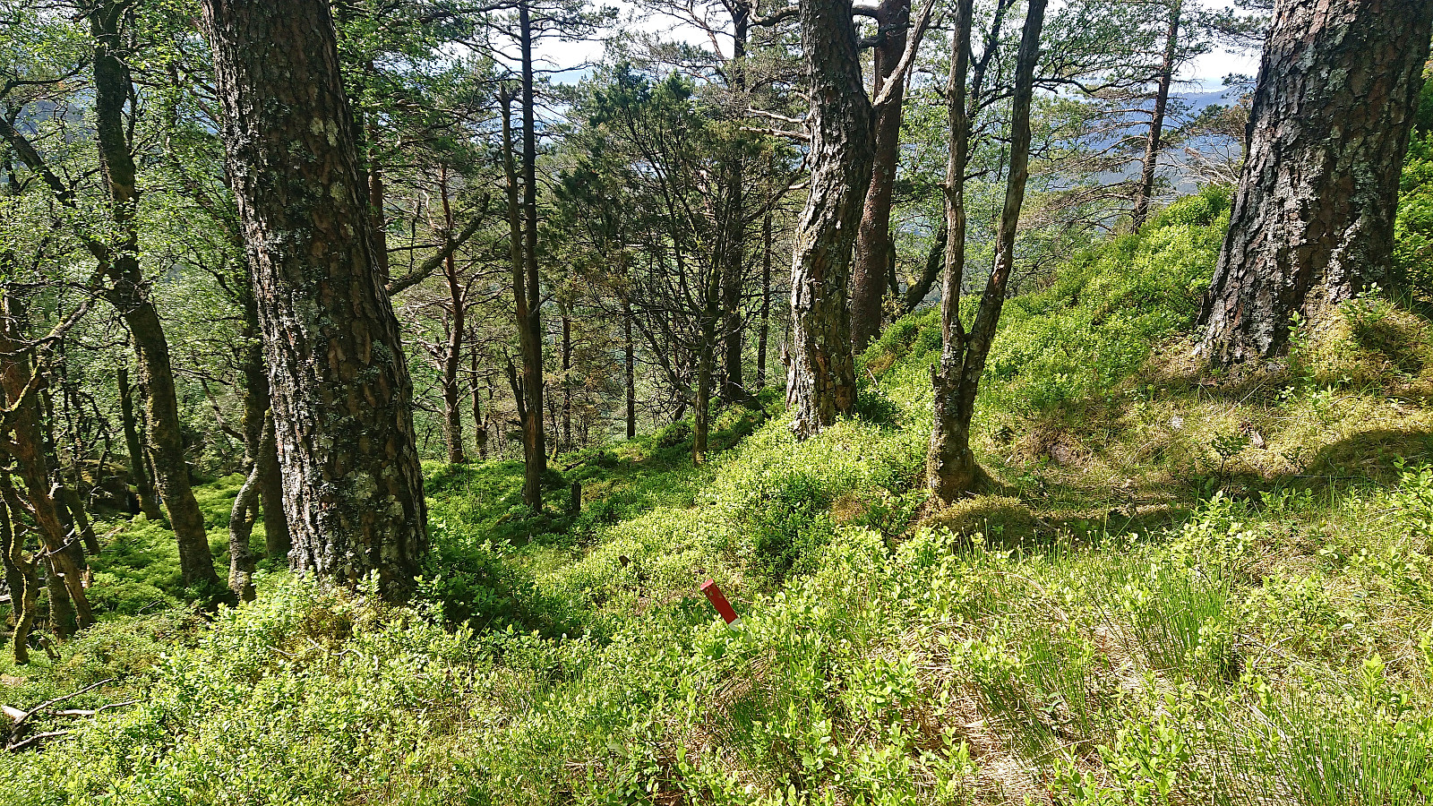
After a short break, I descended to Skeidalssetra along a more direct route where I came across yet another single trail marker. Still no trail though. Back at Skeidalssetra I again searched for trail markers, as redoing my ascent route was out of the question, but without success. But shortly after starting the descent along a weak trail/track I spotted the first trail marker and from there on I could more or less follow markers until returning to Skjeggedalen.
Granted, the trail was weak to non-existent at times and the markers often difficult to spot, resulting in losing the "trail" several times, but at least it provided a much easier route with little to no issues compared to the ascent. All that remained was then the walk back down the tractor road to the fjord where I got back in the bike and cycled towards my next: Litlefjellet.
To conclude, there is a marked trail, or perhaps more correctly a route (as the trail is weak at best), from Skjeggedalen to Skjeggedalsfjellet. The first trail marker however does not appear until more than 100 meters north of the final house in Skjeggedalen, hence it can be difficult to find. Furthermore, the markers are often hard to spot and sometimes far between. But if you follow my descent track you should be ok and have a nice hike. As for my ascent track, it is best ignored and should definitely not be repeated.
| Start date | 10.06.2023 10:24 (UTC+01:00 DST) |
| End date | 10.06.2023 13:26 (UTC+01:00 DST) |
| Total Time | 3h 01min |
| Moving Time | 2h 23min |
| Stopped Time | 0h 37min |
| Overall Average | 1.8km/h |
| Moving Average | 2.3km/h |
| Distance | 5.6km |
| Vertical meters | 543m |


User comments