
Toftåsen (04.06.2023)

Written by hbar (Harald Barsnes)

| Start point | Toftåsen parkering (63m) |
|---|---|
| Endpoint | Toftåsen parkering (63m) |
| Characteristic | Hike |
| Duration | 0h 30min |
| Distance | 2.0km |
| Vertical meters | 128m |
| GPS |
|
| Ascents | Toftåsen (195m) | 04.06.2023 |
|---|---|---|
| Visits of other PBEs | Stedle parkering (63m) | 04.06.2023 |
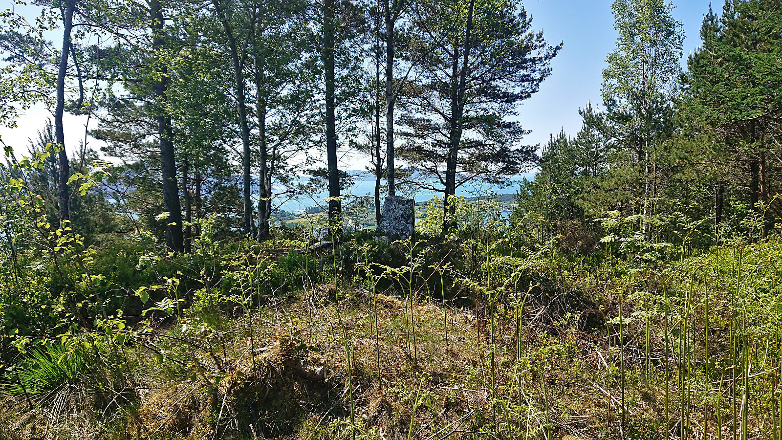
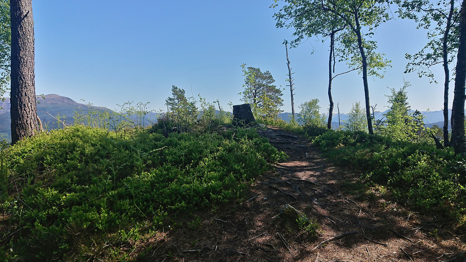
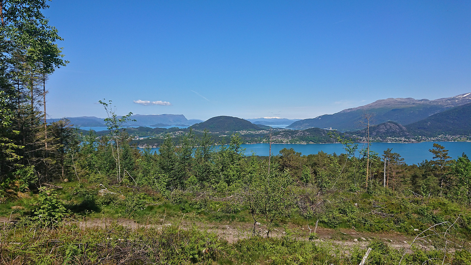
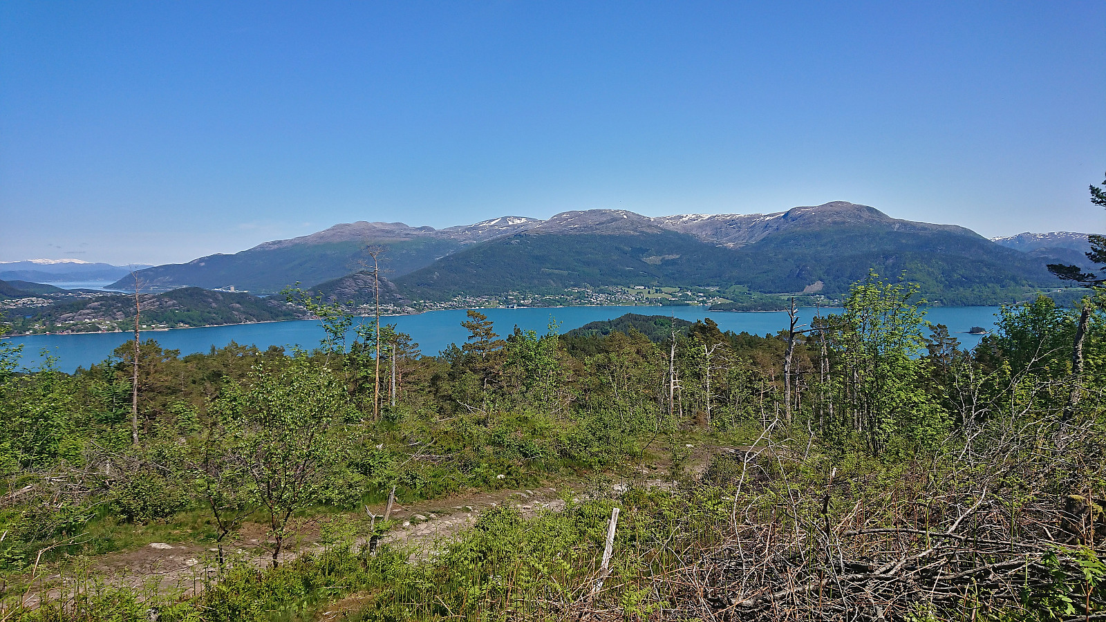
Toftåsen
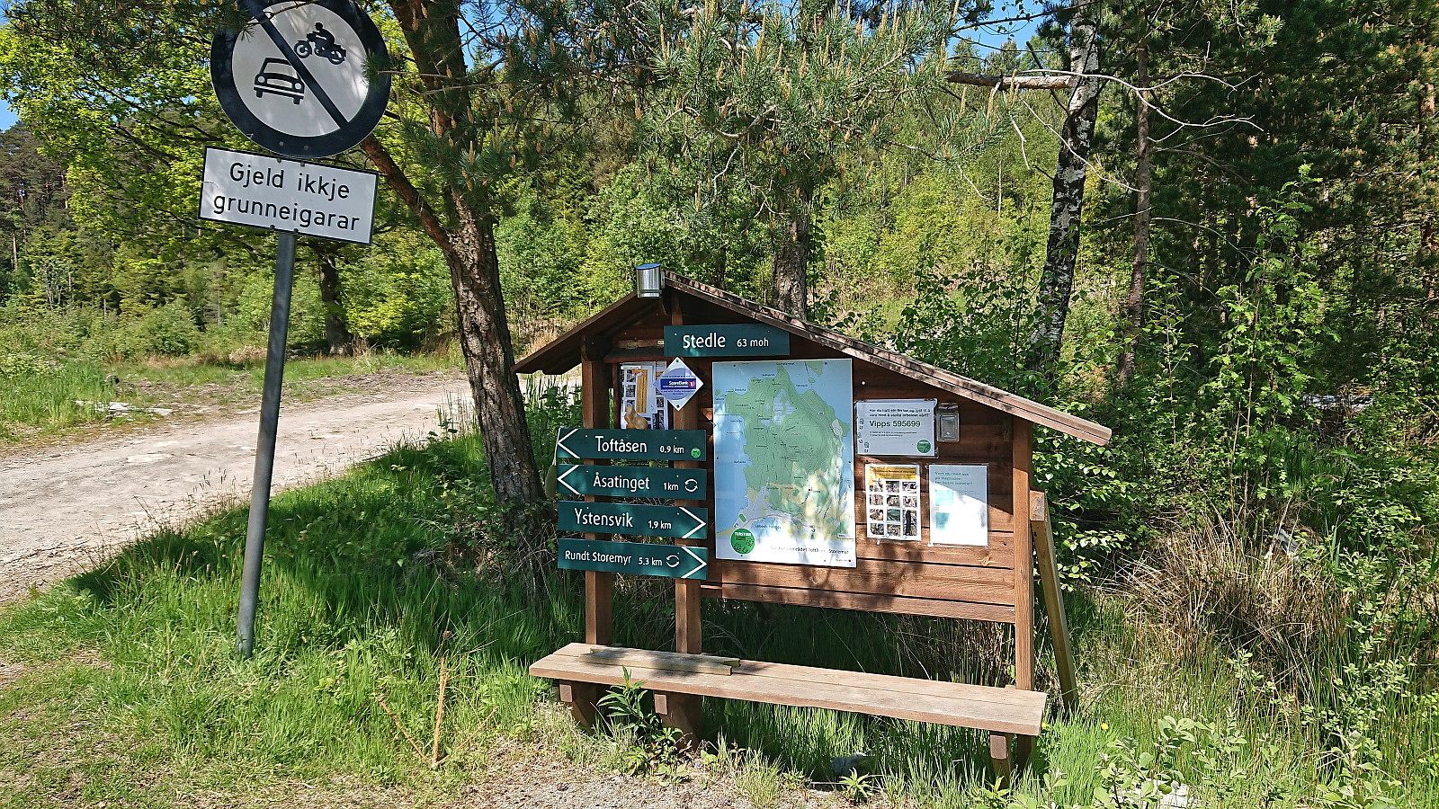
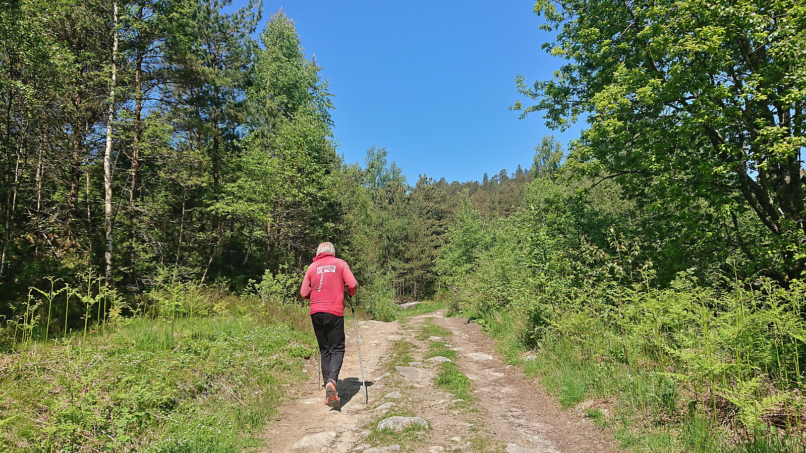
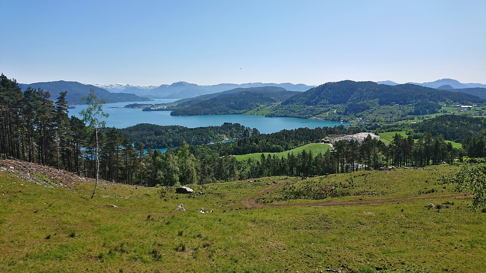
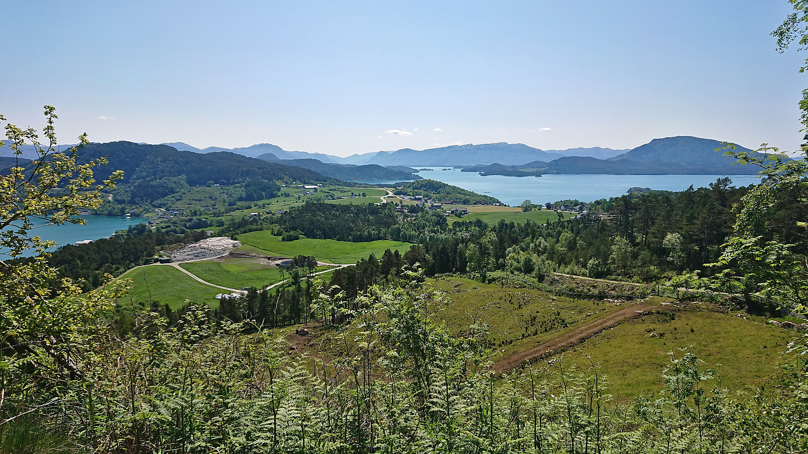
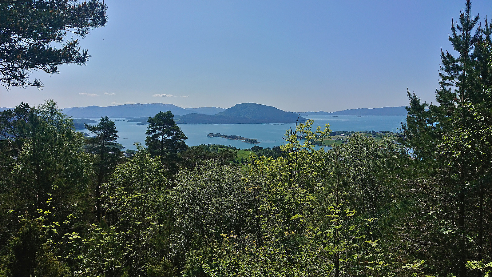
After completing our hike to Ravnakulten, we drove northwest to Tofte, parked at Stedle parkering and began our ascent of Toftåsen. There was a tractor road that could be followed all the way to the summit, hence the ascent was the most straightforward of the day. Excellent views along the way and from the summit though, thus a short but very nice hike.

| Start date | 04.06.2023 13:01 (UTC+01:00 DST) |
| End date | 04.06.2023 13:31 (UTC+01:00 DST) |
| Total Time | 0h 30min |
| Moving Time | 0h 28min |
| Stopped Time | 0h 1min |
| Overall Average | 4.0km/h |
| Moving Average | 4.3km/h |
| Distance | 2.0km |
| Vertical meters | 128m |


User comments