
Ravnakulten from Djupevika (04.06.2023)

Written by hbar (Harald Barsnes)

| Start point | Djupevika p-plass (49m) |
|---|---|
| Endpoint | Djupevika p-plass (49m) |
| Characteristic | Hillwalk |
| Duration | 1h 23min |
| Distance | 4.8km |
| Vertical meters | 258m |
| GPS |
|
| Ascents | Ravnakulten (291m) | 04.06.2023 |
|---|---|---|
| Visits of other PBEs | Djupevika p-plass (49m) | 04.06.2023 |
Ravnakulten from Djupevika
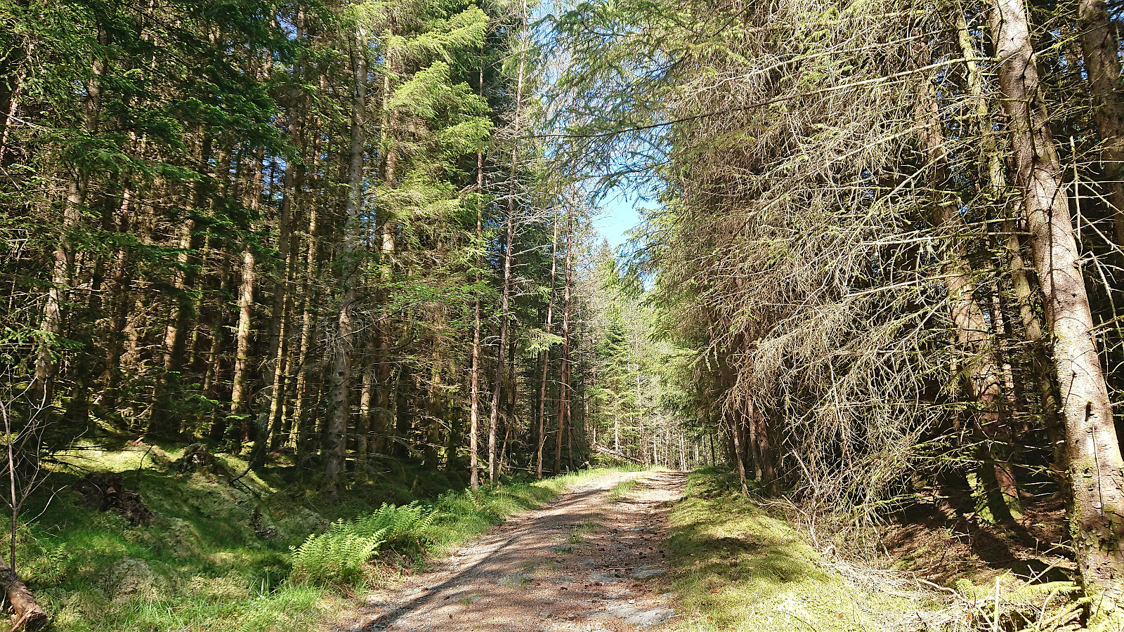
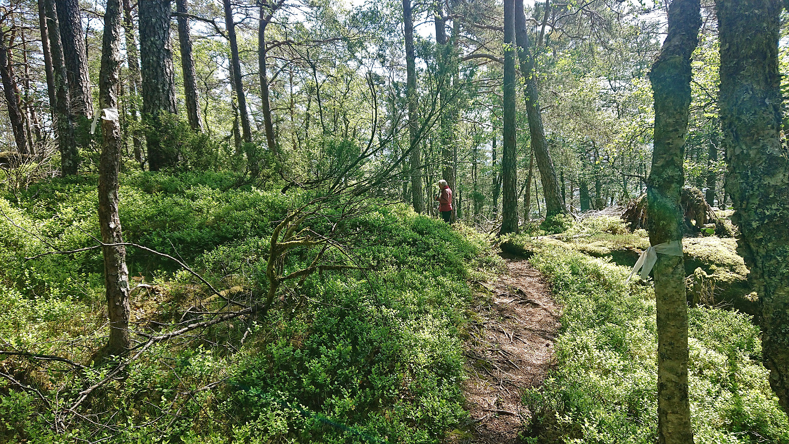
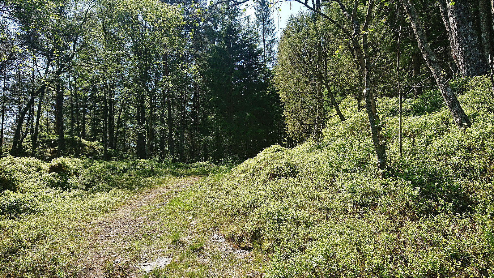
From Landåsen, we headed southeast to Djupevika where we easily located the small parking lot at the start of the route to Ravnakulten. First, we followed a tractor road southwest before forking right (west) when spotting the first white plastic trail marker. This took us onto an older tractor road which we proceeded to follow until reaching a second crossroads.
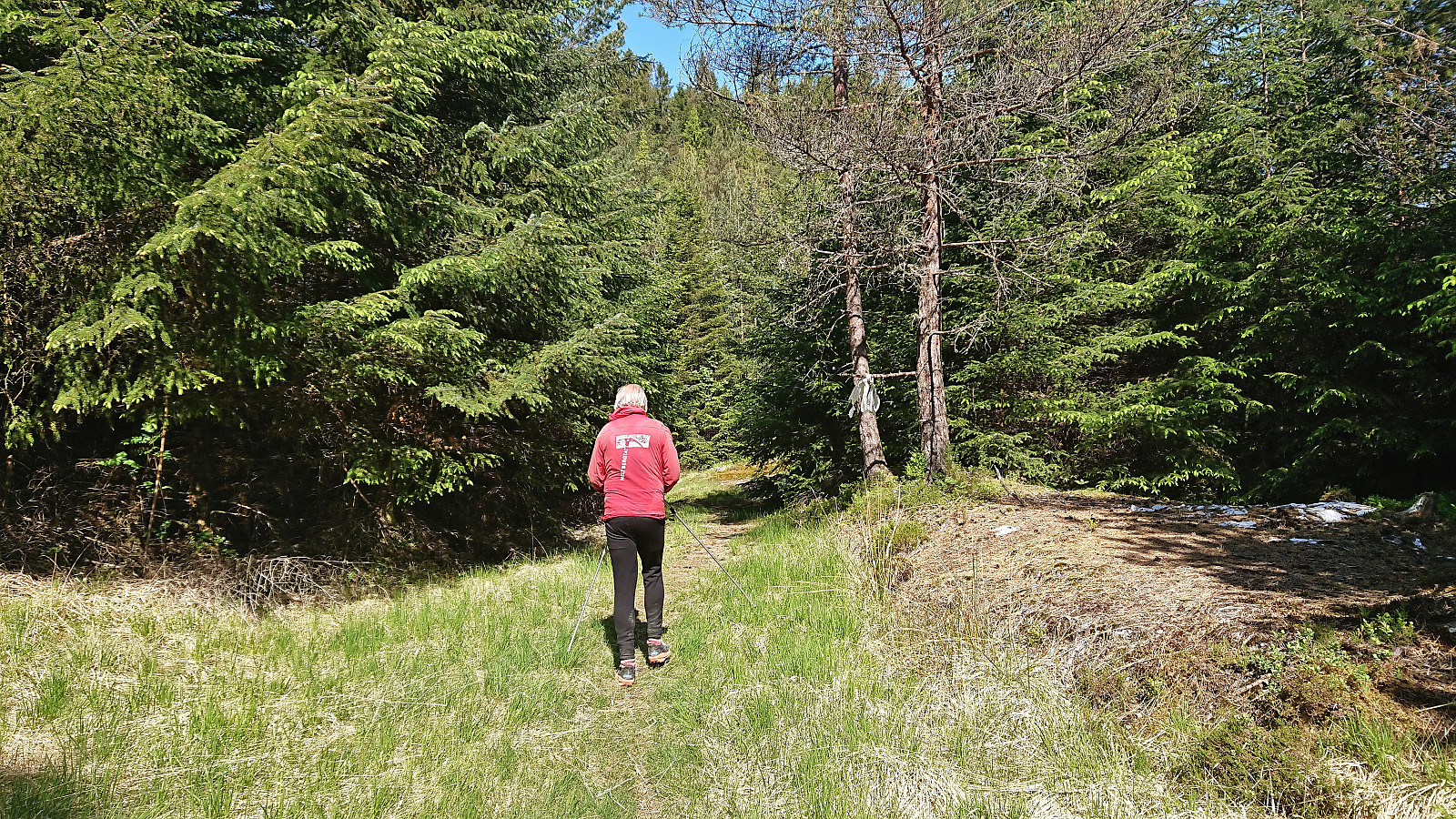
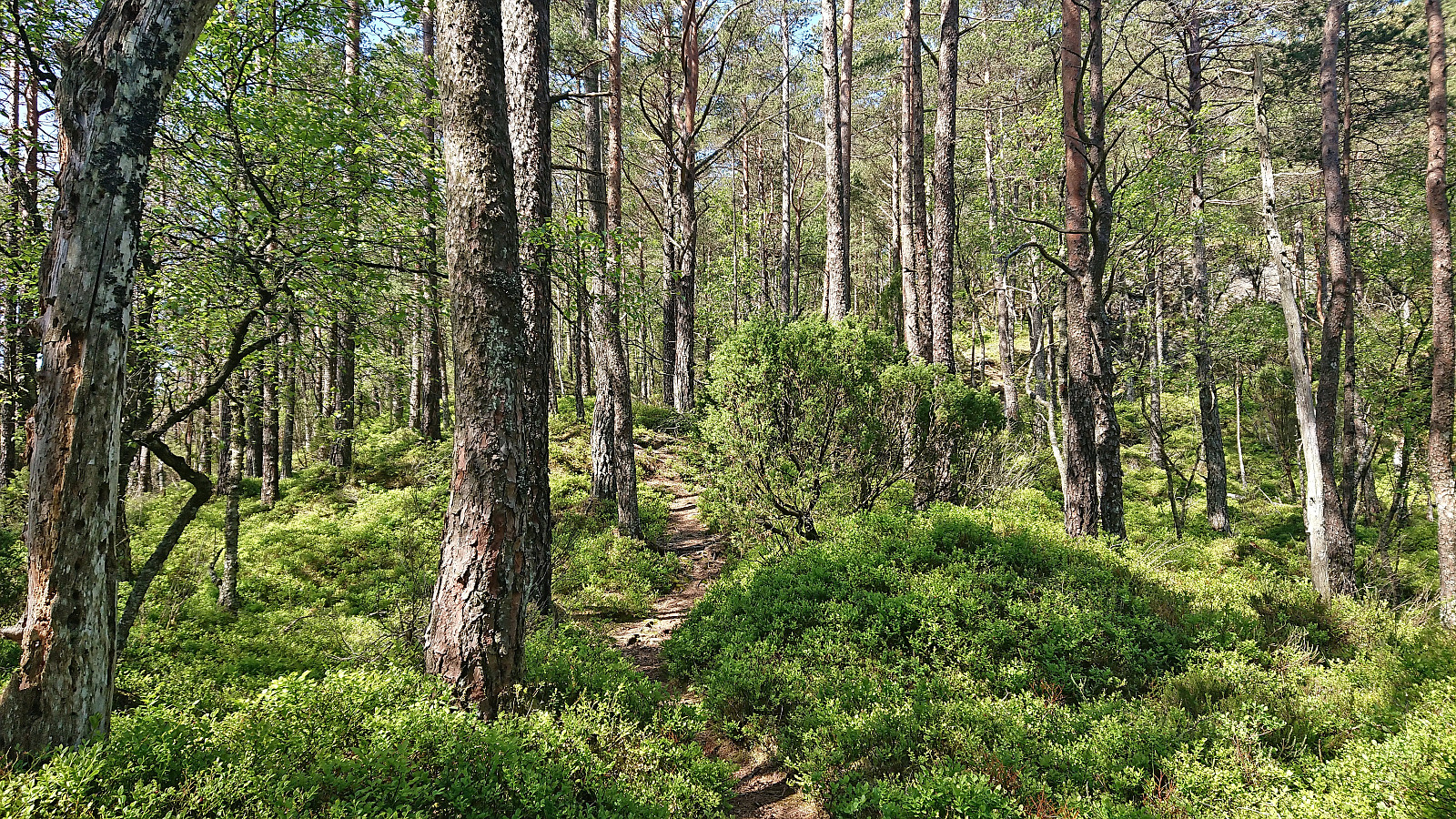
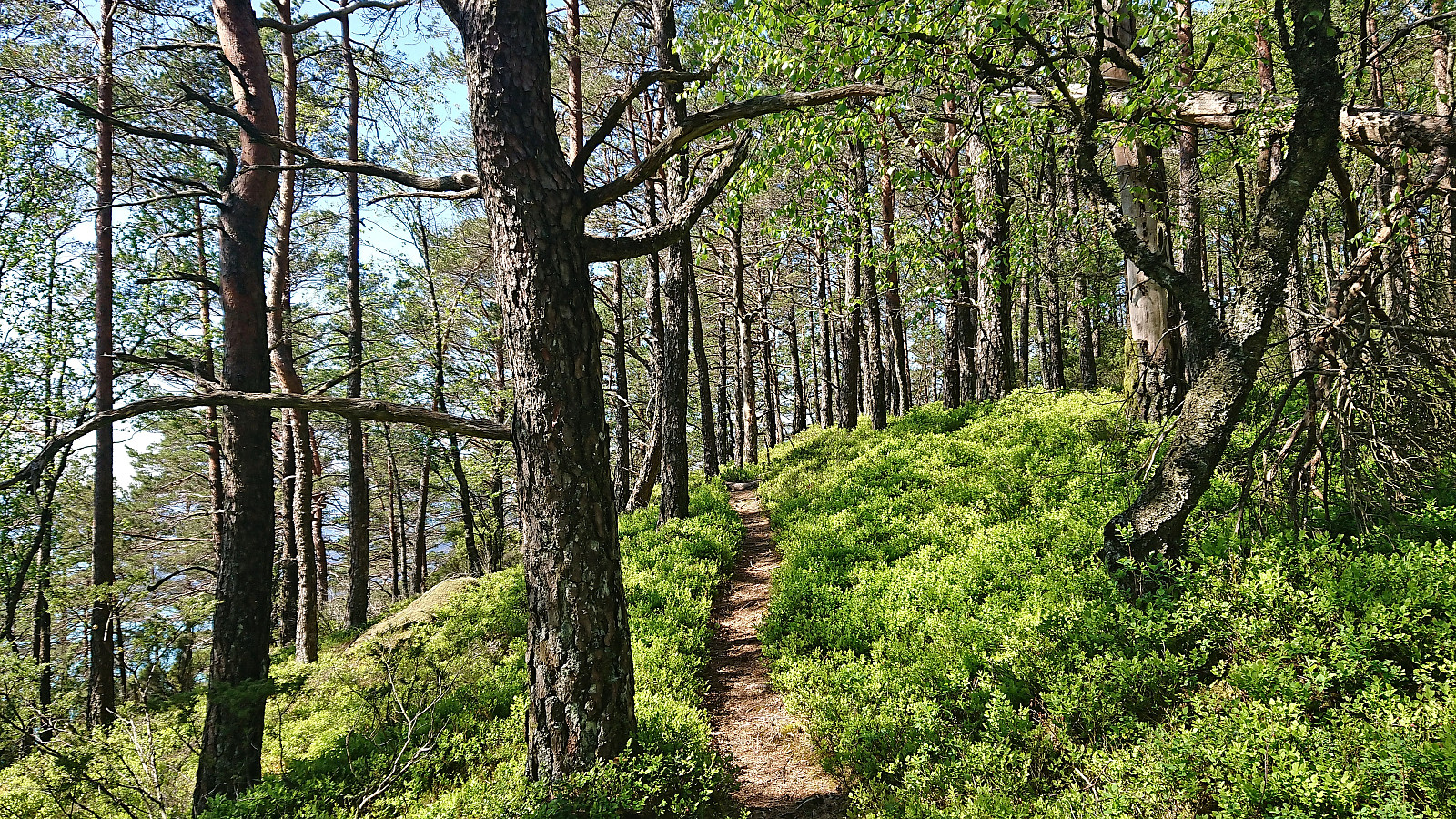
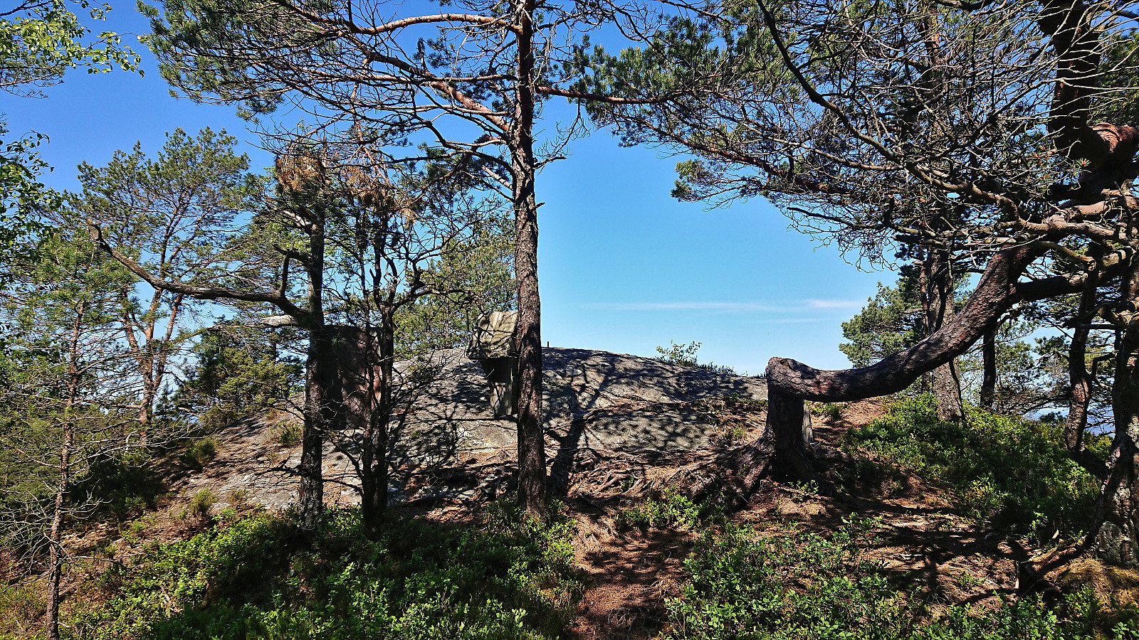
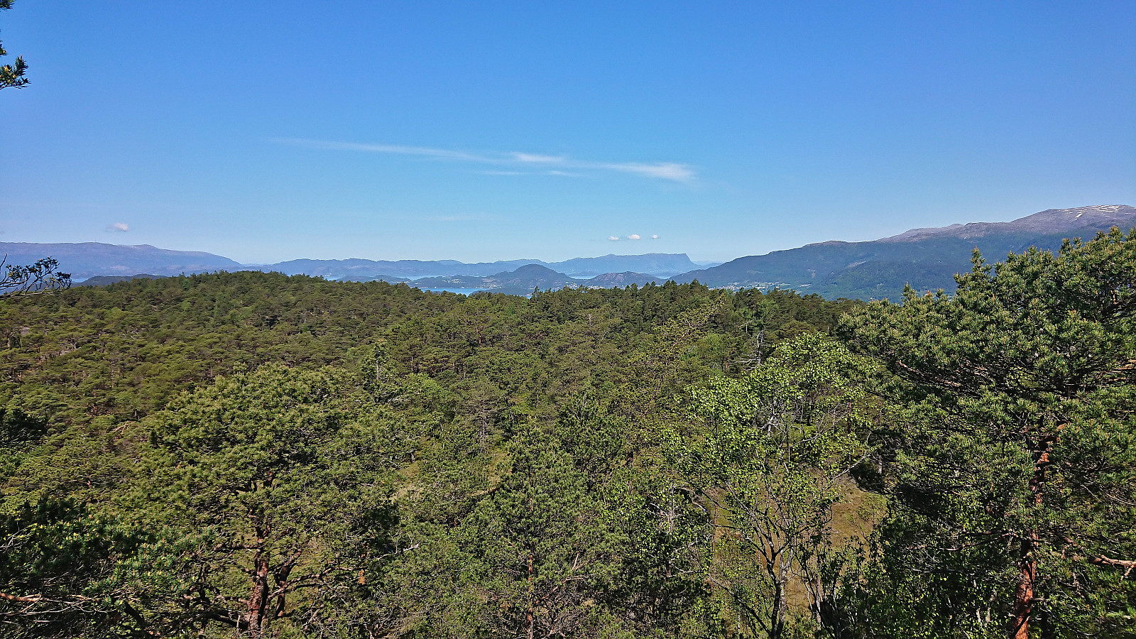
As we could not see any trail markers we checked previous trip reports which all seemed to fork right (north) and head towards Dommedalshaugen before turning west towards the summit. We did the same and although the trail briefly turned weaker we had no issues finding our way. Later the trail quality however greatly improved and from there on it was straightforward to reach the summit which provided great views north. (Before descending, we also made a quick visit to an alternative summit to the south, concluding that it was indeed lower.)
Halfway back to the tractor road we suddenly started seeing lots of white trail makers that we had not seen during the ascent. We figured that we were not on the same trail and quickly returned to our ascent route. Probably too quickly, as when we got back to the crossroads where we had earlier turned north towards Dommedalshaugen, we noticed a tiny white trail marker for the route we had not followed. A quick check further up revealed more markers most likely heading towards the marked trail that we had just abandoned. (Ironically, it seems like the only part of the trail with markers was the part we did not use.)
To conclude, an excellent hike along good trails (if following the markers), especially the final stretch towards the summit was very enjoyable.
| Start date | 04.06.2023 11:21 (UTC+01:00 DST) |
| End date | 04.06.2023 12:45 (UTC+01:00 DST) |
| Total Time | 1h 23min |
| Moving Time | 1h 18min |
| Stopped Time | 0h 4min |
| Overall Average | 3.4km/h |
| Moving Average | 3.7km/h |
| Distance | 4.8km |
| Vertical meters | 258m |


User comments