
Sundnessåta (04.06.2023)

Skrevet av hbar (Harald Barsnes)

| Startsted | Flatland (47moh) |
|---|---|
| Sluttsted | Flatland (47moh) |
| Turtype | Fjelltur |
| Turlengde | 1t 09min |
| Distanse | 4,4km |
| Høydemeter | 242m |
| GPS |
|
| Bestigninger | Sundnessåta (234moh) | 04.06.2023 |
|---|---|---|
| Andre besøkte PBE'er | Sydnessåta parkering (47moh) | 04.06.2023 |
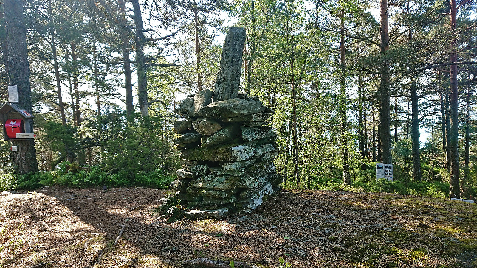
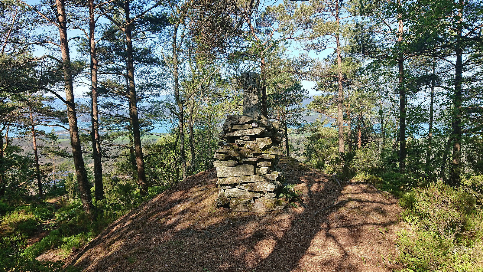
Sundnessåta
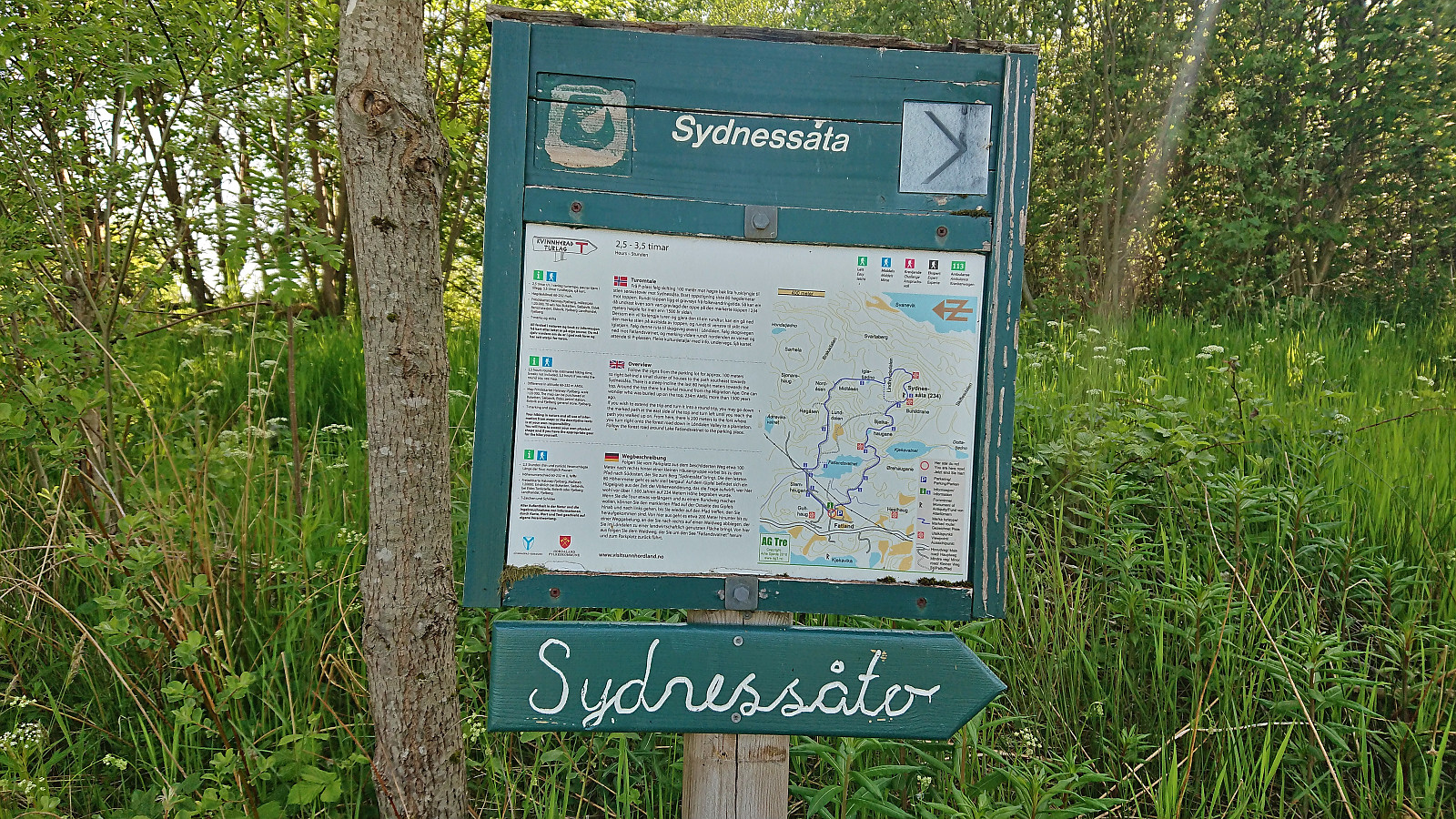
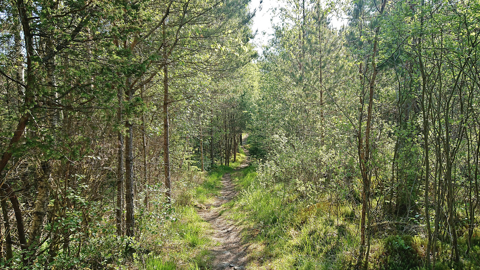
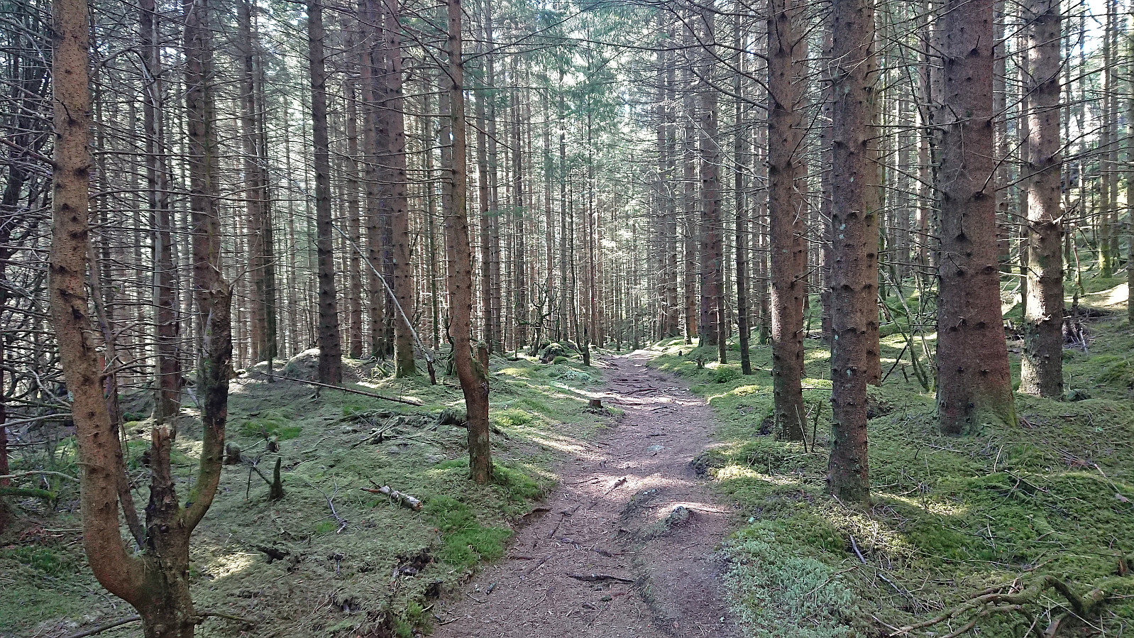
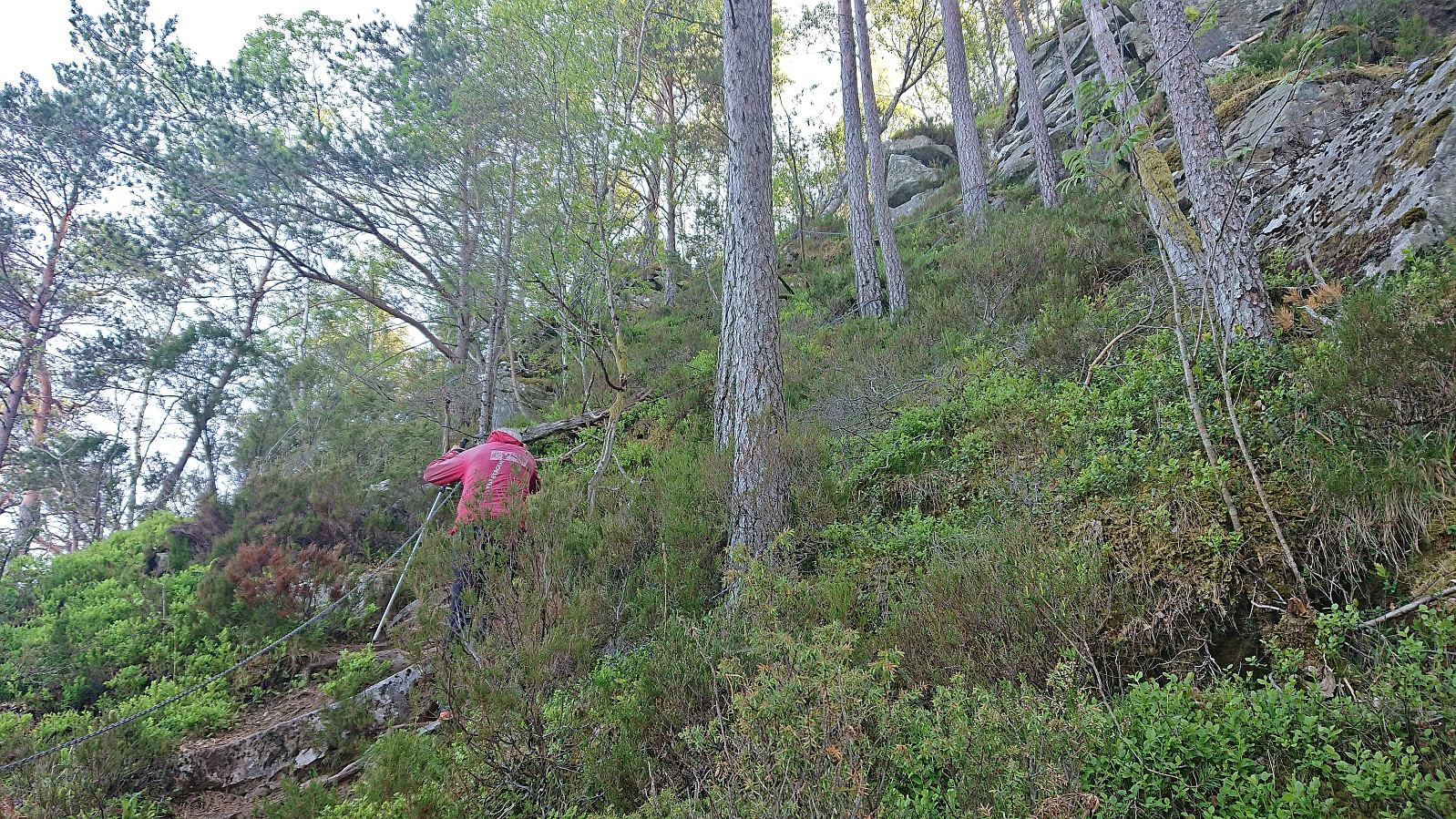
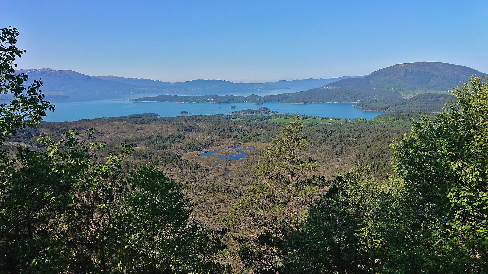
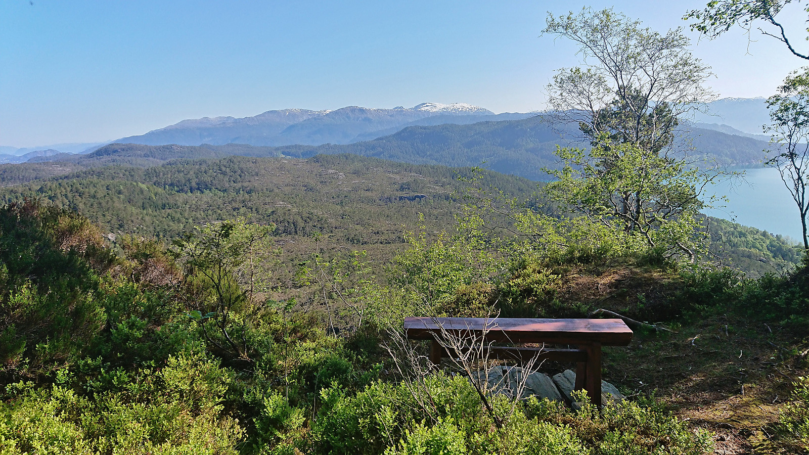
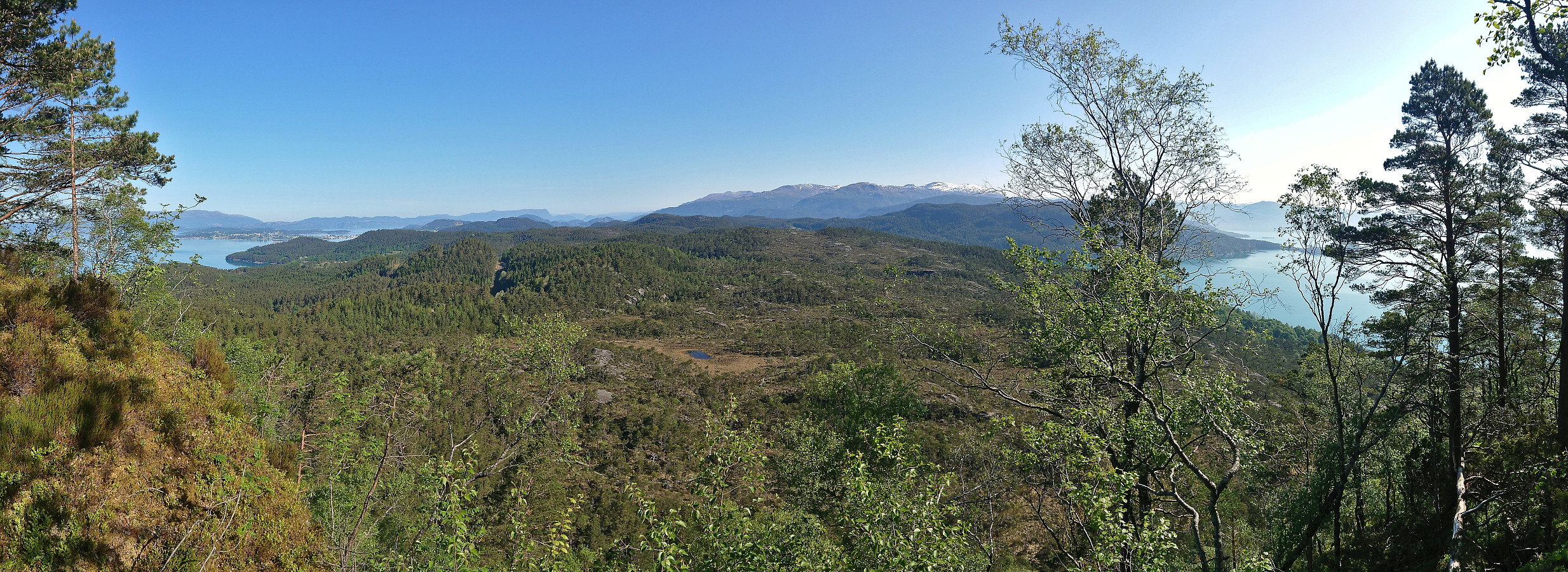
Another Sunday of hiking with petter (Petter Bjørstad). This time we decided to stay below the snow and head to Halsnøya and Husnes in Kvinnherad. Petter picked me up at 06:00 and we arrived at Gjermundshamn with plenty of time to spare for the first ferry to Årsnes at 07:45. At 09:00 we were finally ready to start hiking towards Sundnessåta. Marked and easy to follow trails all the way to the summit, with a short steep section at the end. Limited views from the summit itself, but much better views could be obtained from just southwest of the summit and from a viewpoint further northeast. From the summit we returned along the same route to the parking lot. A nice short hike that can definitely be recommended.
| Starttidspunkt | 04.06.2023 09:02 (UTC+01:00 ST) |
| Sluttidspunkt | 04.06.2023 10:12 (UTC+01:00 ST) |
| Totaltid | 1t 09min |
| Bevegelsestid | 1t 05min |
| Pausetid | 0t 4min |
| Snittfart totalt | 3,8km/t |
| Snittfart bevegelsestid | 4,1km/t |
| Distanse | 4,4km |
| Høydemeter | 241m |


Kommentarer