
Skiing: Mjølfjell to Skiple (20.05.2023)

Skrevet av hbar (Harald Barsnes)

| Startsted | Mjølfjell stasjon (628moh) |
|---|---|
| Sluttsted | Skiple stasjon (407moh) |
| Turtype | Fjellskitur |
| Turlengde | 10t 12min |
| Distanse | 33,3km |
| Høydemeter | 1639m |
| GPS |
|
| Bestigninger | Grodjuvenuten (1240moh) | 20.05.2023 |
|---|---|---|
| Kaldanuten (1411moh) | 20.05.2023 | |
| Nordvest for Grodjuvenuten (1300moh) | 20.05.2023 | |
| Nordøst for Kaldanuten (1269moh) | 20.05.2023 | |
| Storebottseggi (1031moh) | 20.05.2023 | |
| Andre besøkte PBE'er | Grodjuvet militærbro (876moh) | 20.05.2023 |
| Mjølfjell stasjon (628moh) | 20.05.2023 | |
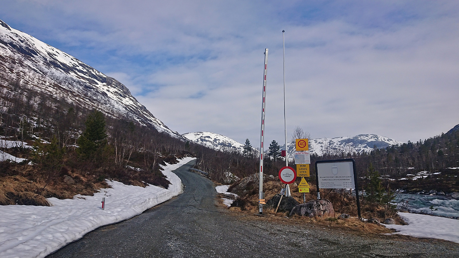
| Rjoanddalen bom (640moh) | 20.05.2023 | |
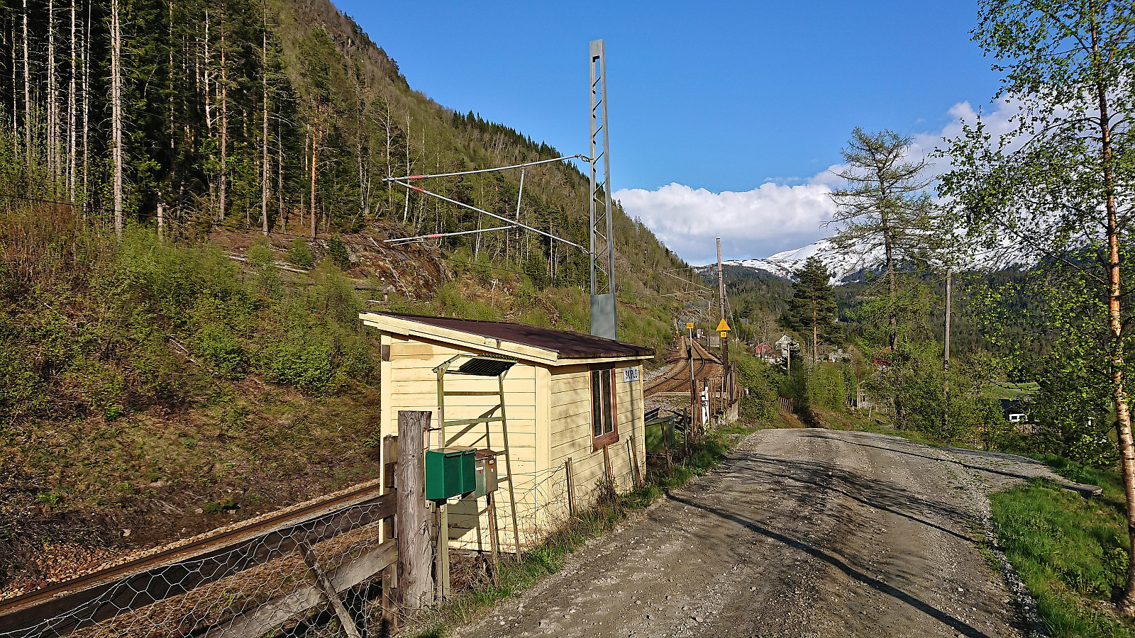
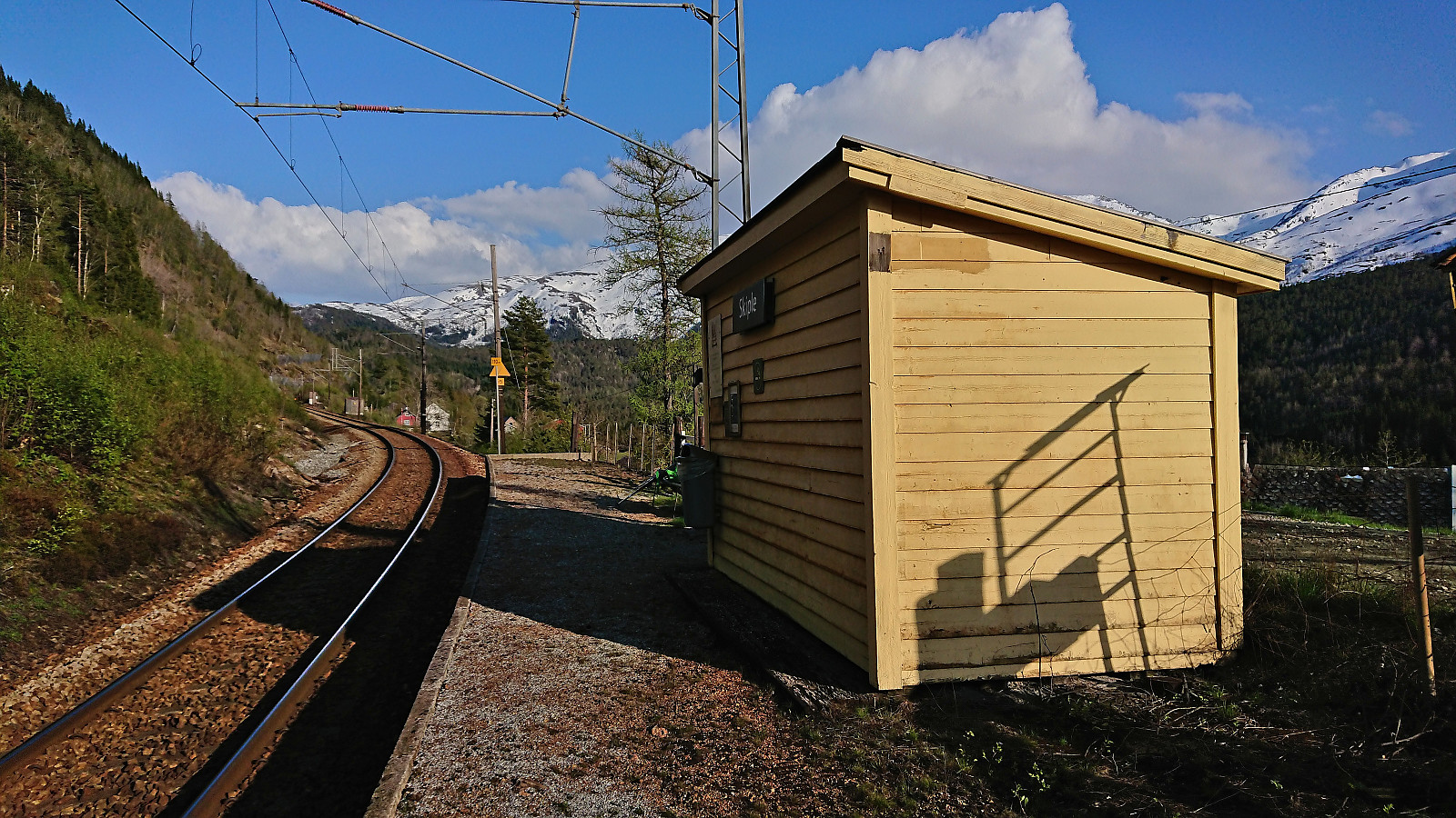
| Skiple stasjon (407moh) | 20.05.2023 |
Skiing: Mjølfjell to Skiple
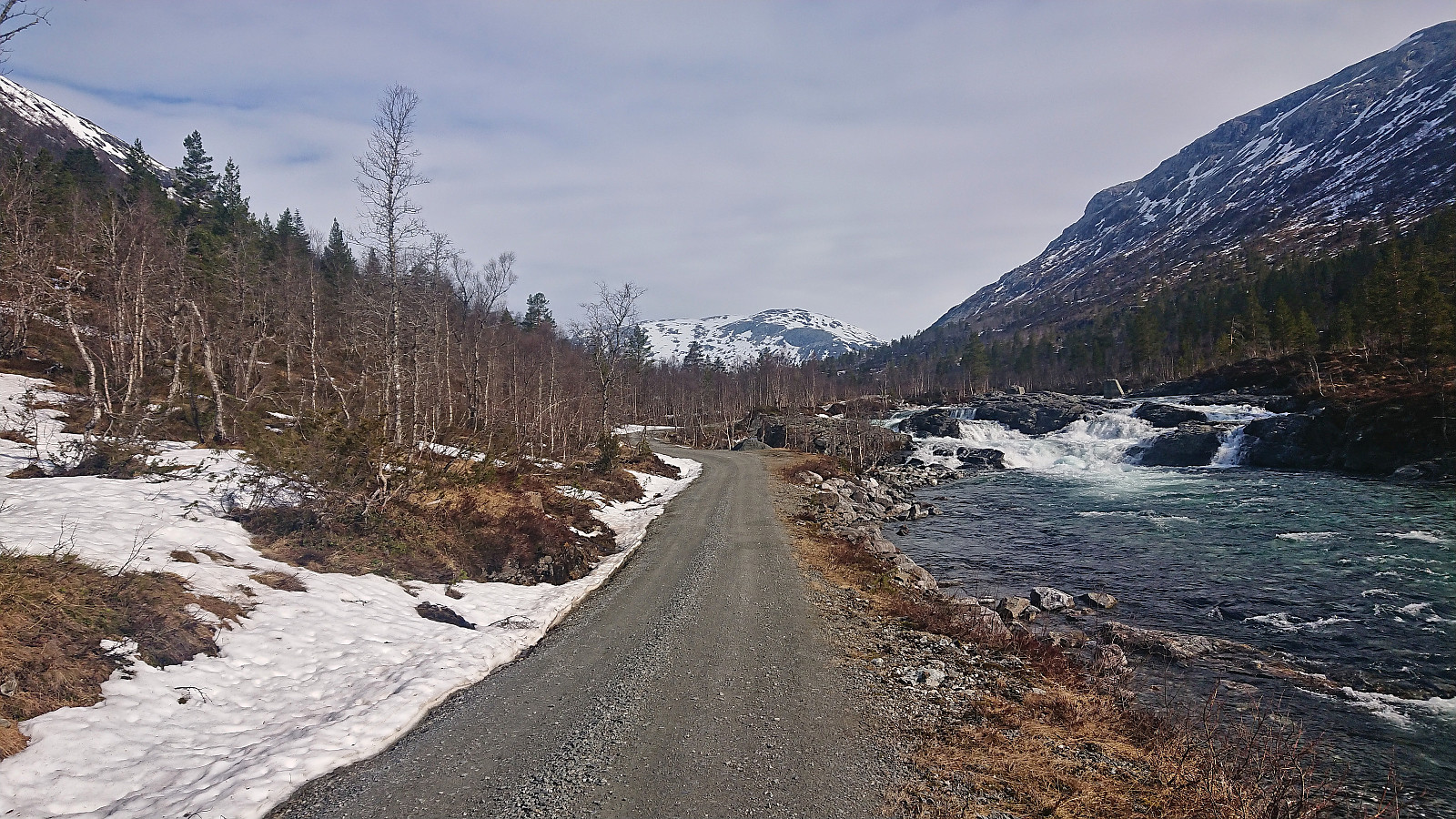
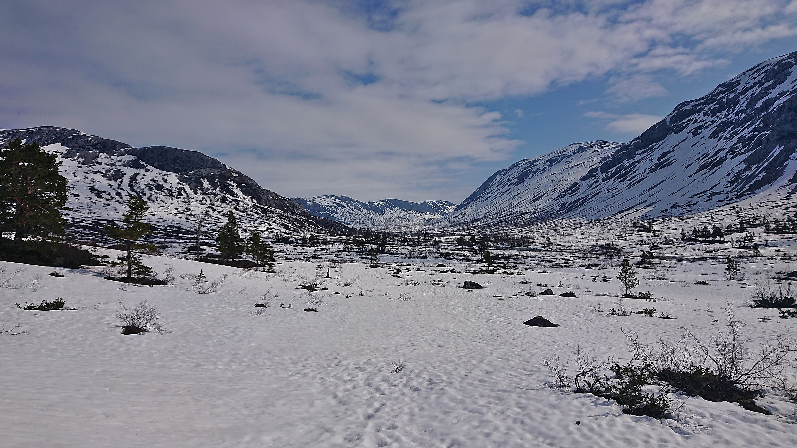
After last weekend's successful skiing trip to Øykjafonn and Skipanuten I decided to have another go, but this time on my own and starting from Mjølfjell. I again took the early morning train from Bergen and arrived at Mjølfjell train station just before nine. From the station I followed the gravel road north into Rjonaddalen, where I carried the skis for the first 2 km, before putting them on a continuing beside the road where there was just enough snow left.
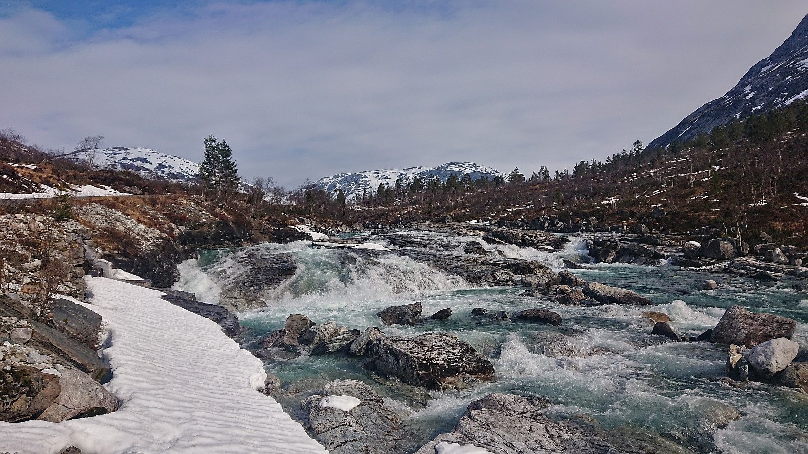
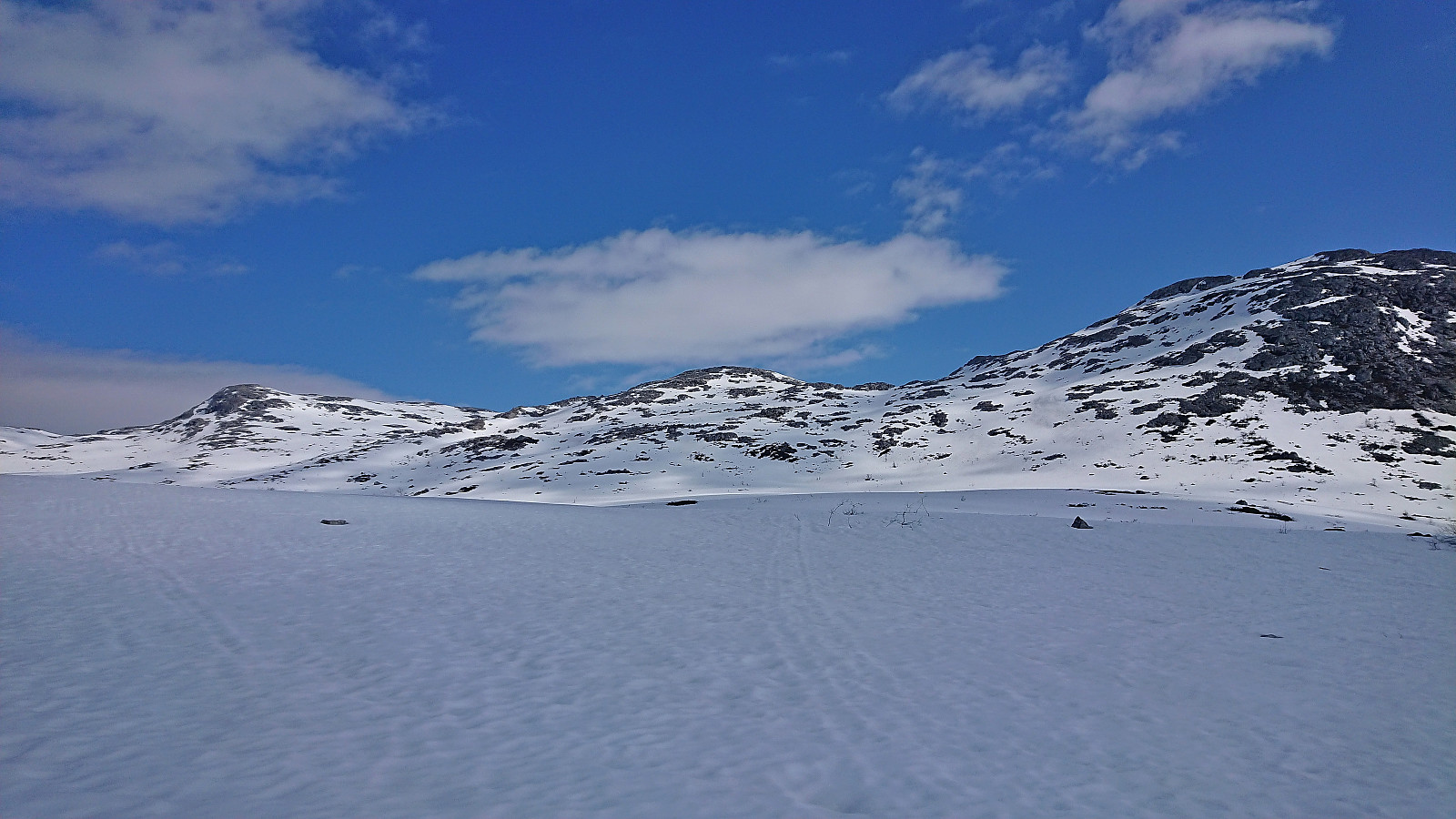
I soon left the road for a shortcut to reconnect with the road up to Grodjuvet. This road normally continues all the way to the bridge across Grodjyvo, but today the road was soon hidden underneath the snow. By then it was too late to cross the partially open river and I instead continued north until I could safely cross via the mentioned bridge and start the ascent to Grodjuvenuten.
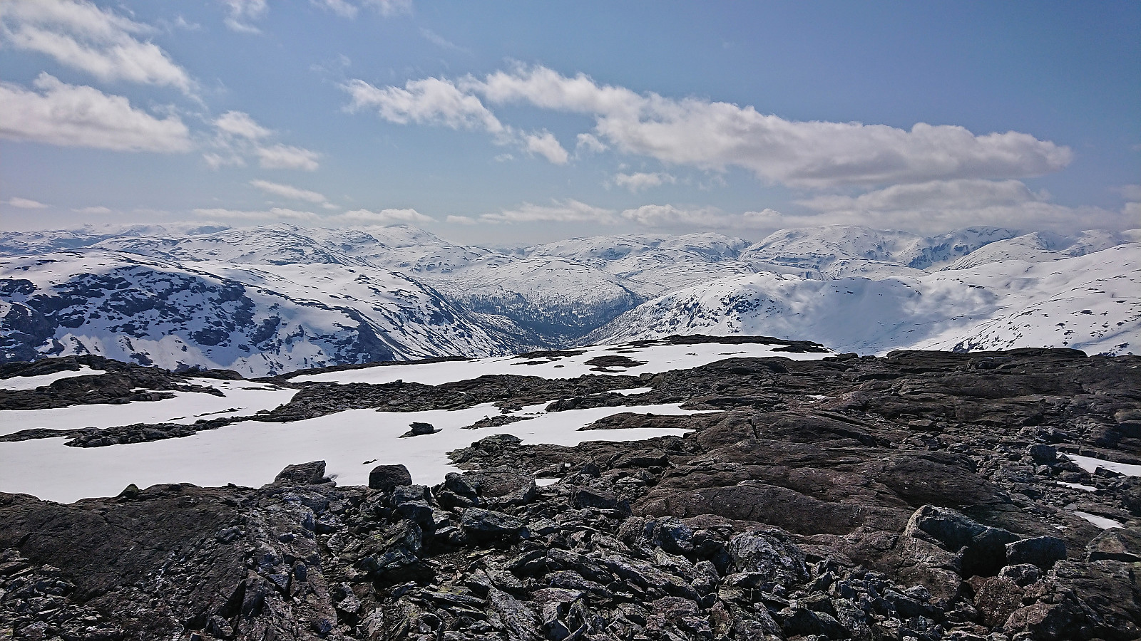
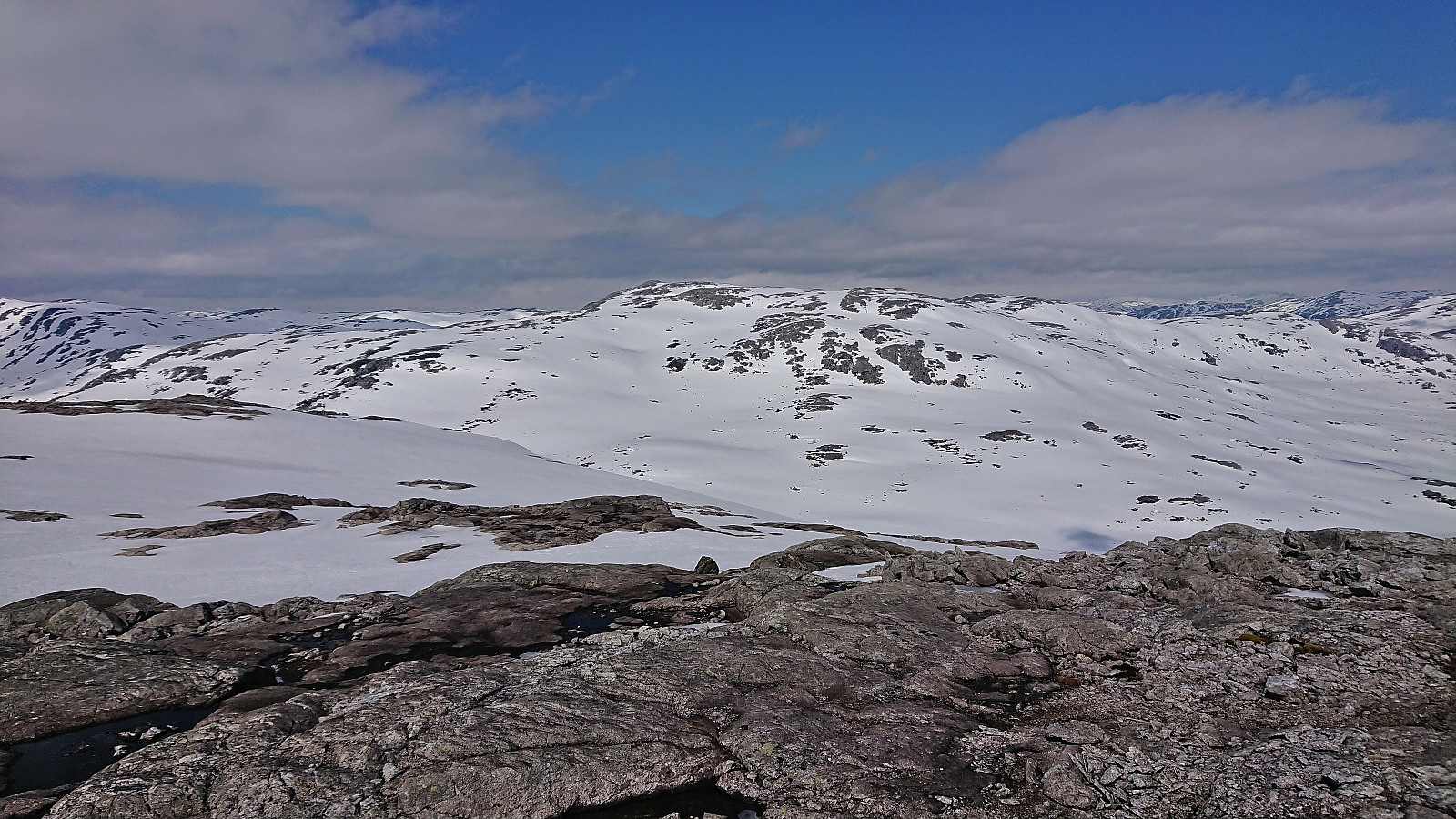
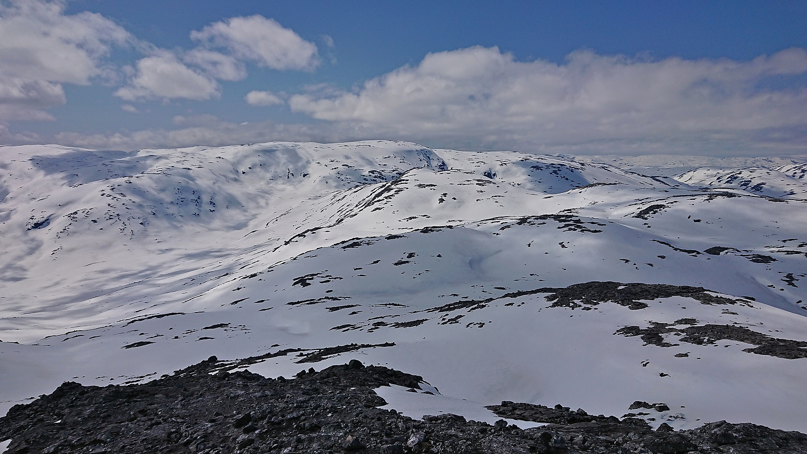
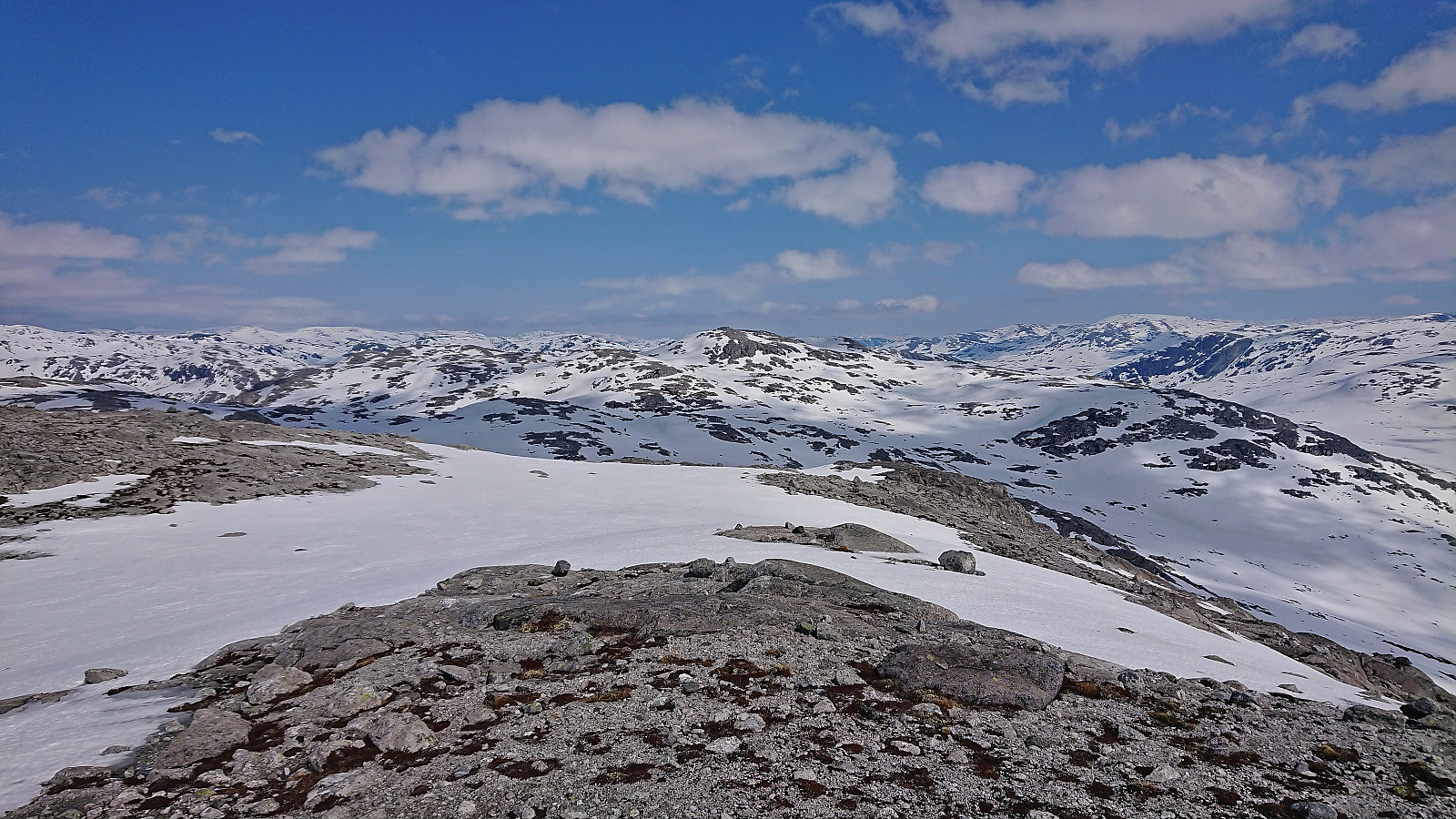
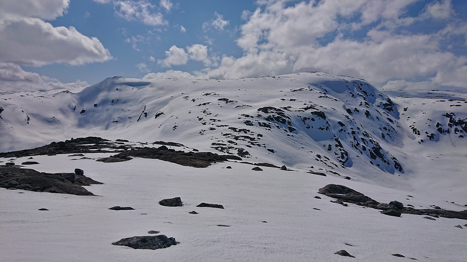
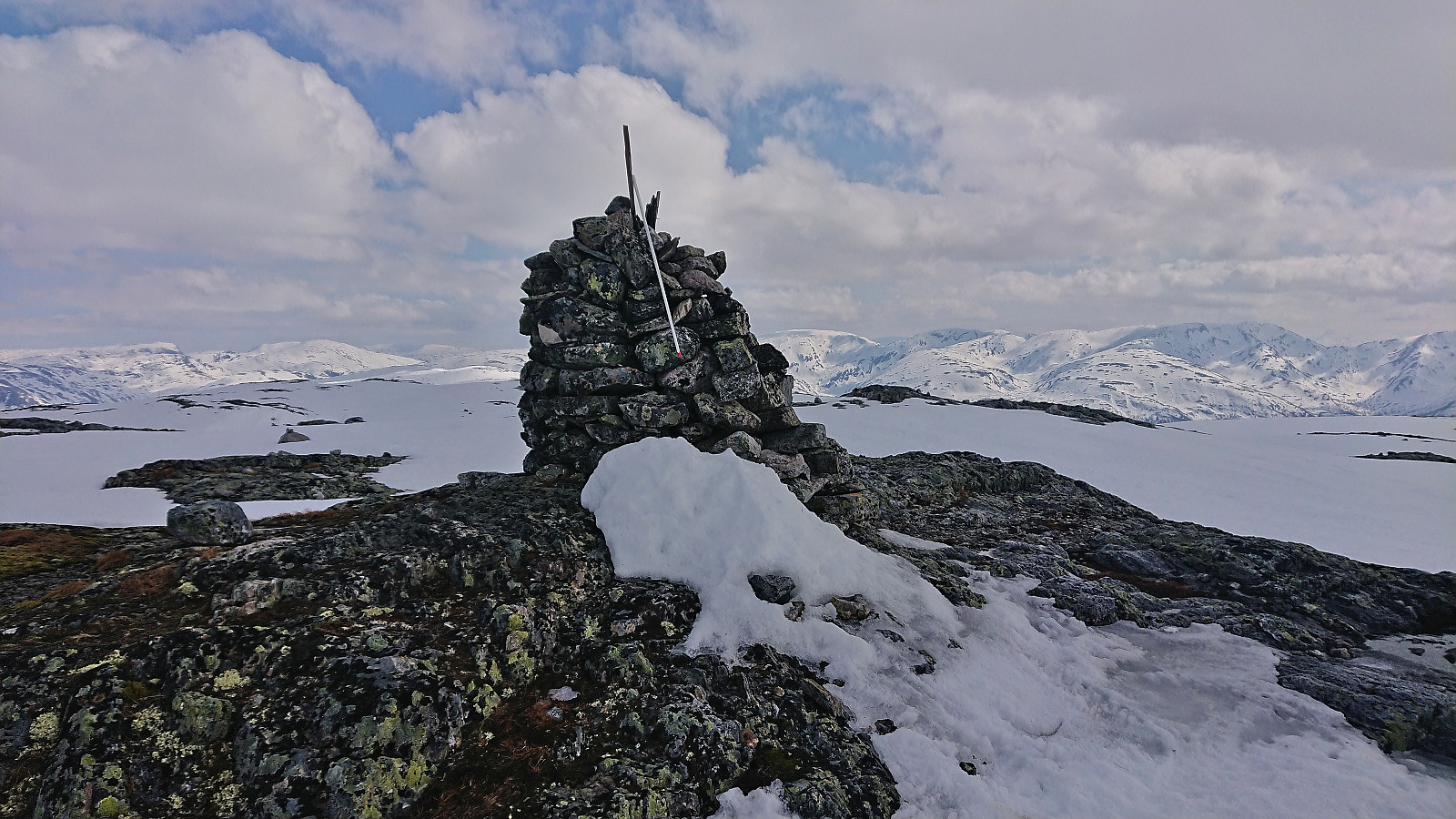
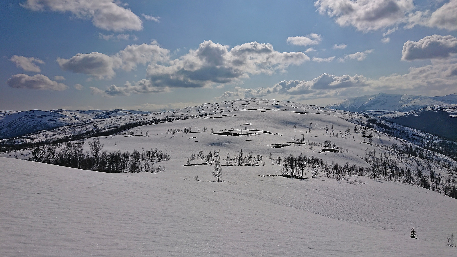
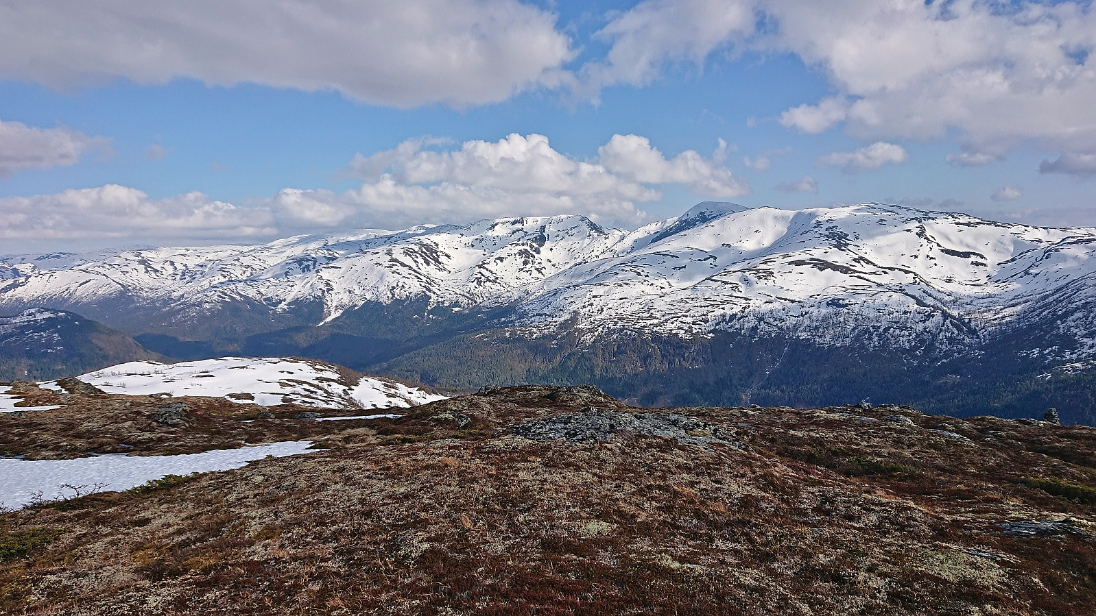
After passing on the northern side of Skyttargluggane, all that remained was a short relatively steep ascent before the terrain levelled off towards the summit cairn. From the summit I had an excellent view towards my next goal, and after a short break I descended along the same route and started the 250 meters climb to NV av Grodjuvenuten, which was reached without any issues.
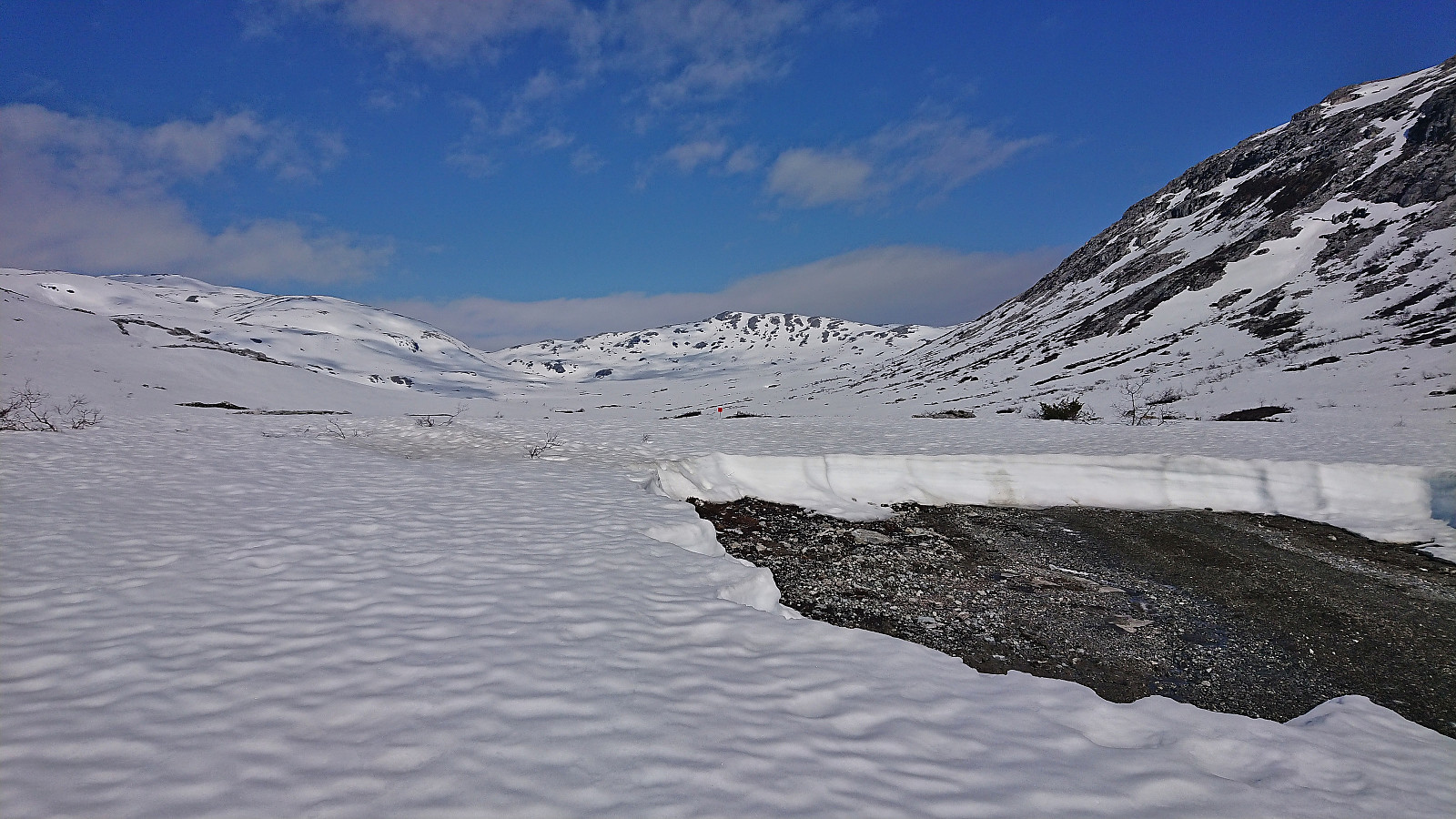
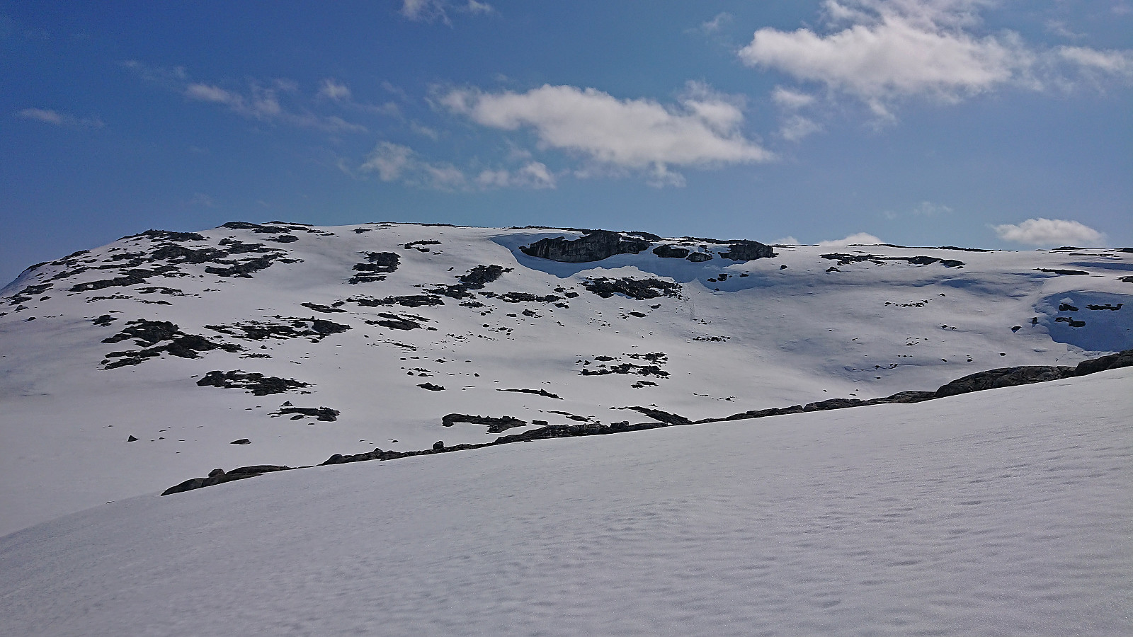
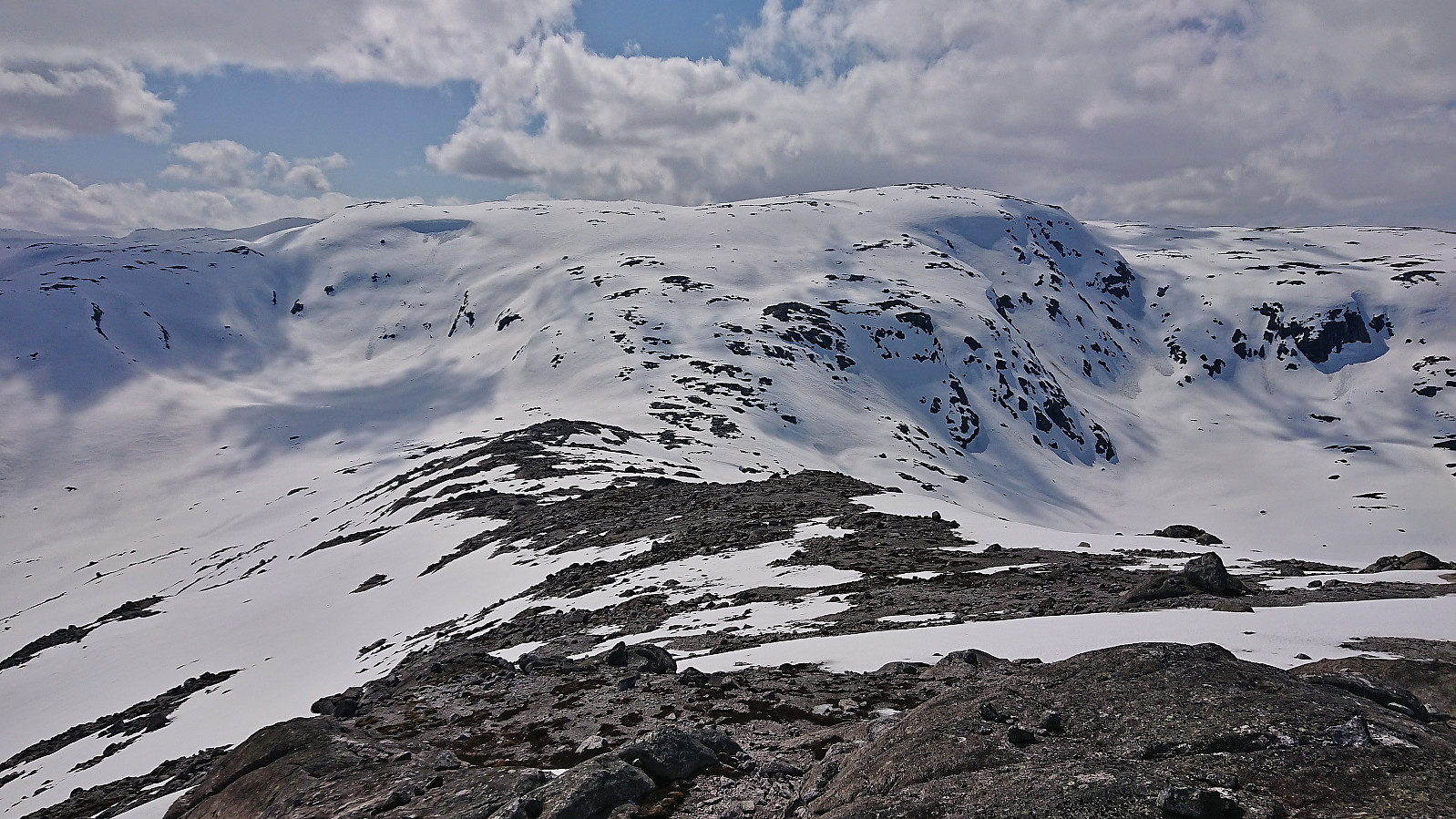
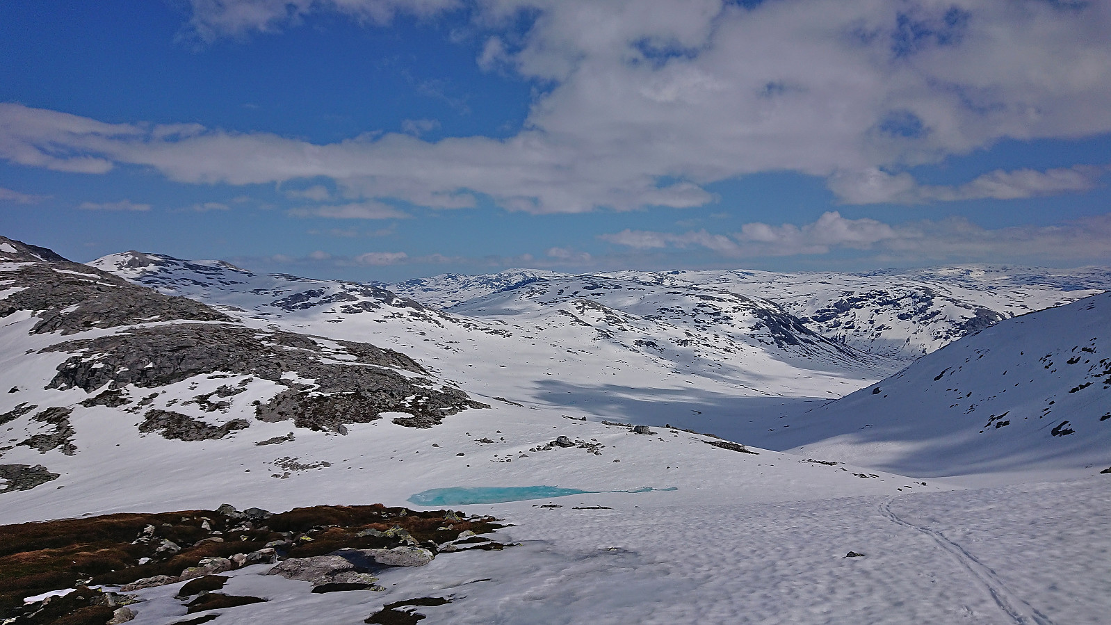
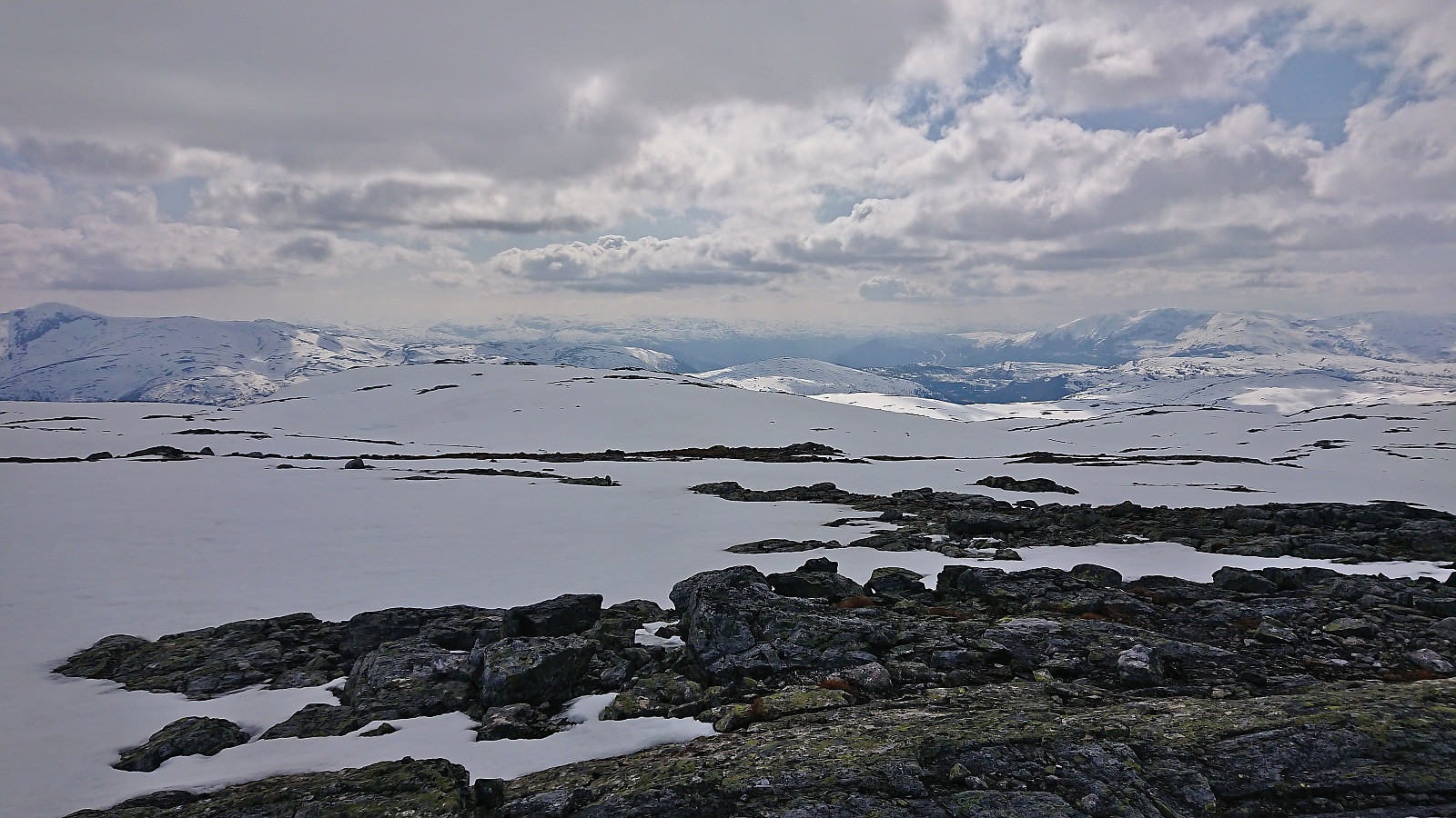
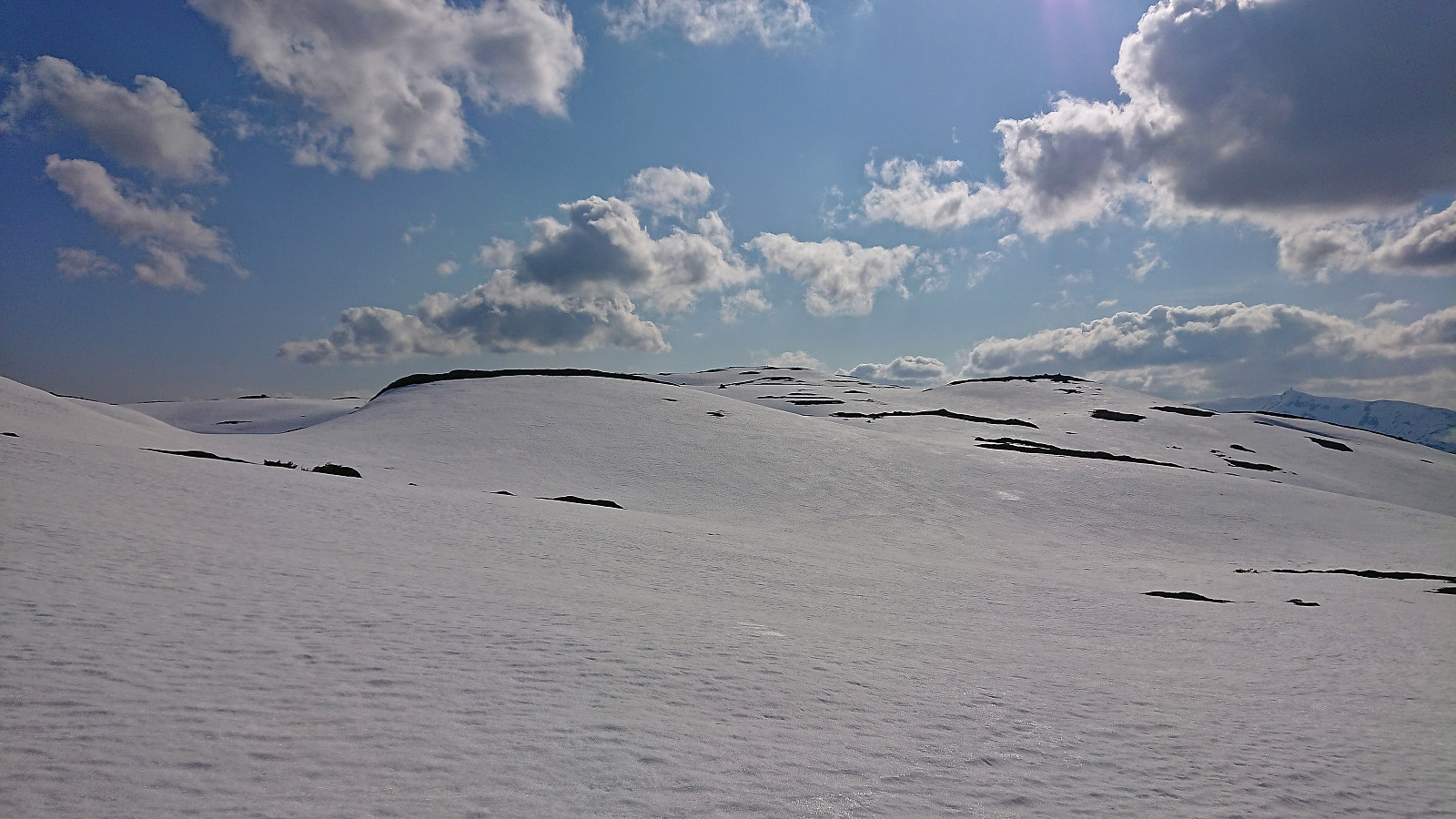
At NV av Grodjuvenute I took a short lunch break before turning west and heading towards the unnamed hill referred to as Nordøst for Kaldanuten. This, combined with the stretch from Nordøst for Kaldanuten down to Nordmannaskaret, would be the least enjoyable of the trip, mainly as there were lots of areas with little to no snow, and thus lots of stops where the skis and to come off.
To add to the frustration, the snow-less areas that at first looked like dry gravel turned out to be mud in disguise up to 15 cm deep. Furthermore, I also started having technical issues with my ski bindings, meaning that getting the shoes into the bindings got increasingly difficult. My route across Nordøst for Kaldanuten to Nordmannaskaret was probably not the best given the conditions and it would most likely have been faster to rather be willing to lose more vertical meters than trying to stick to the ridge. This decision however most likely highly depends on the amount of snow.
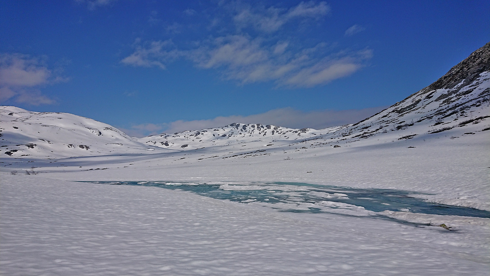
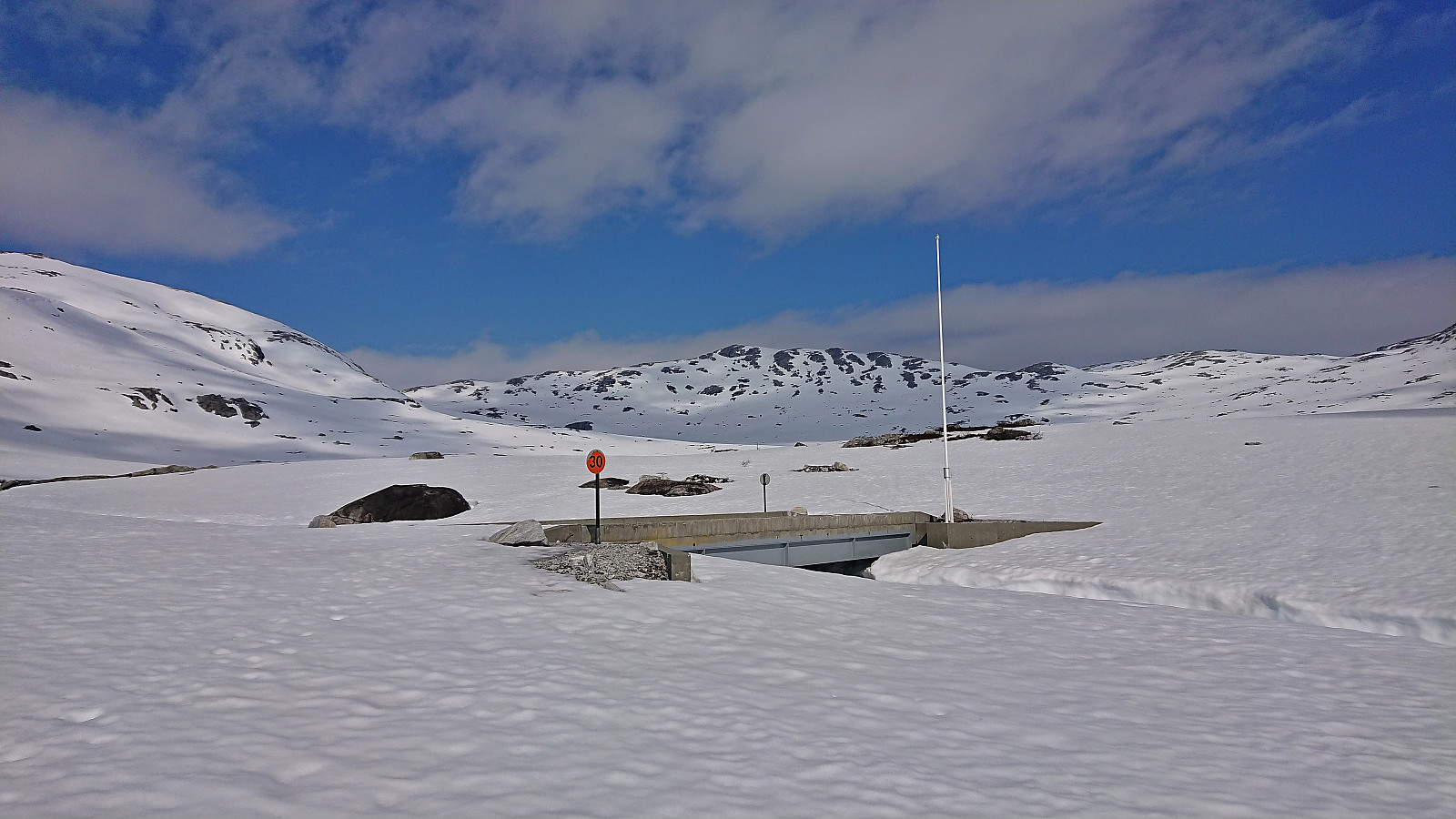
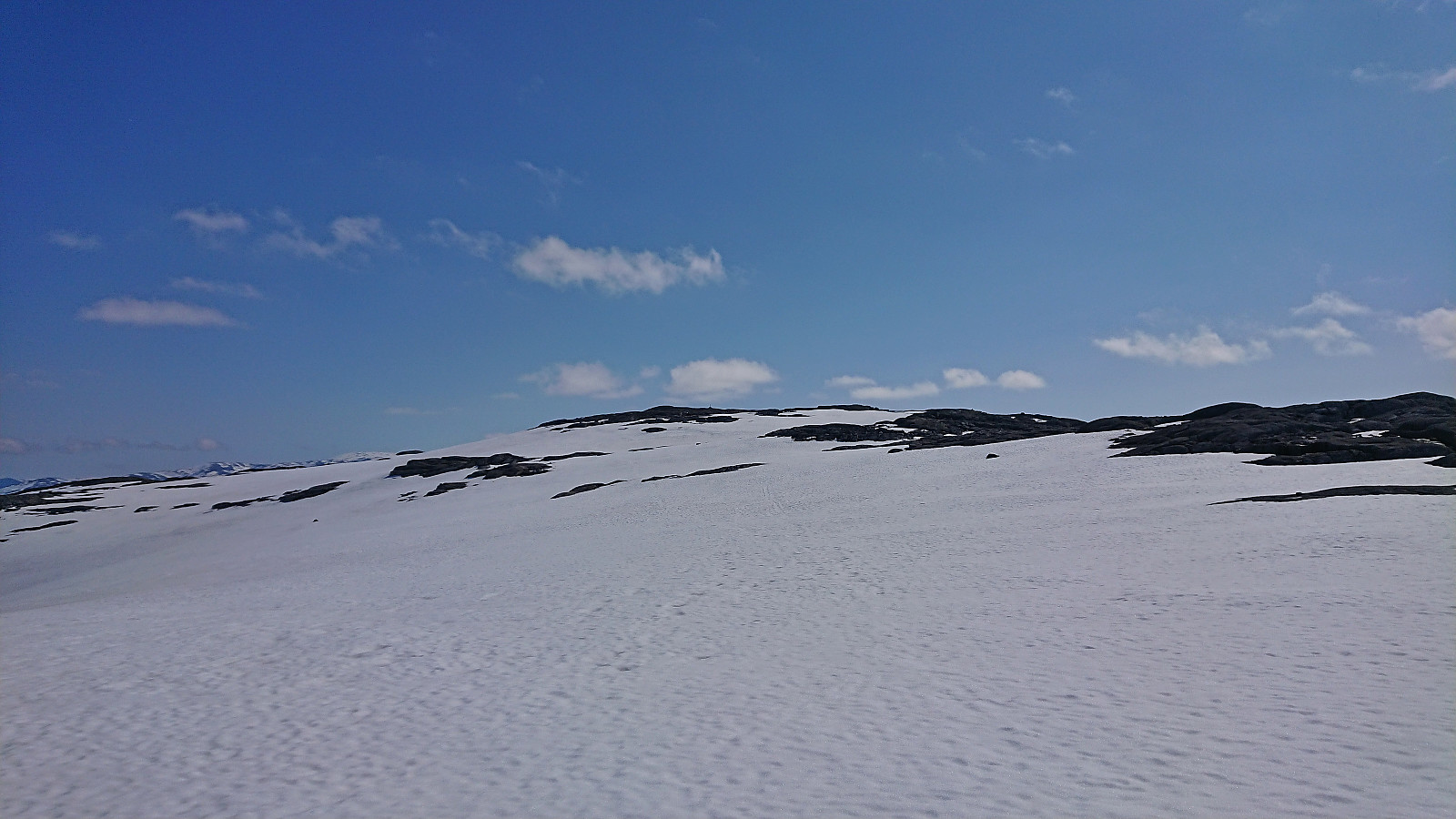
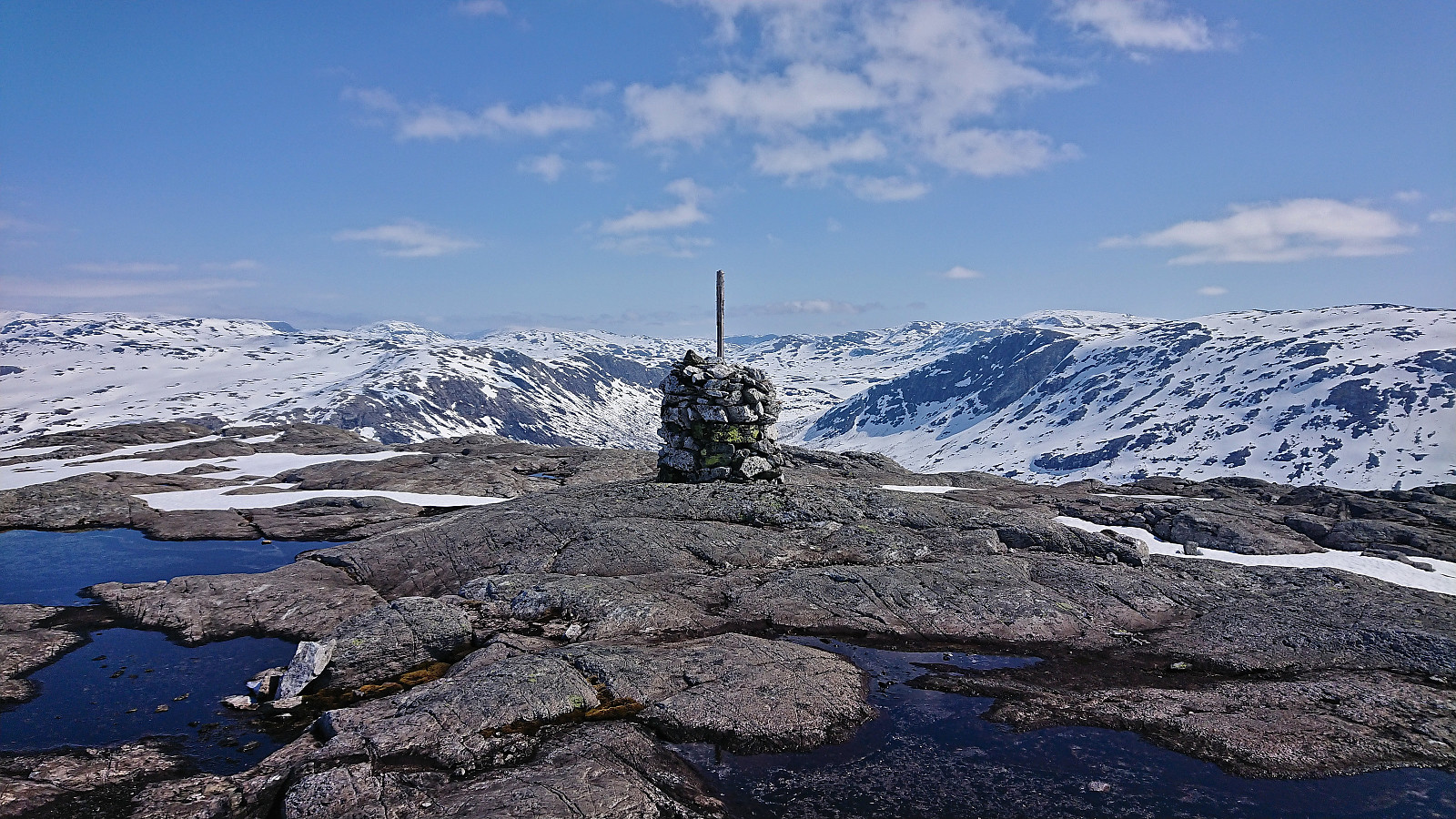
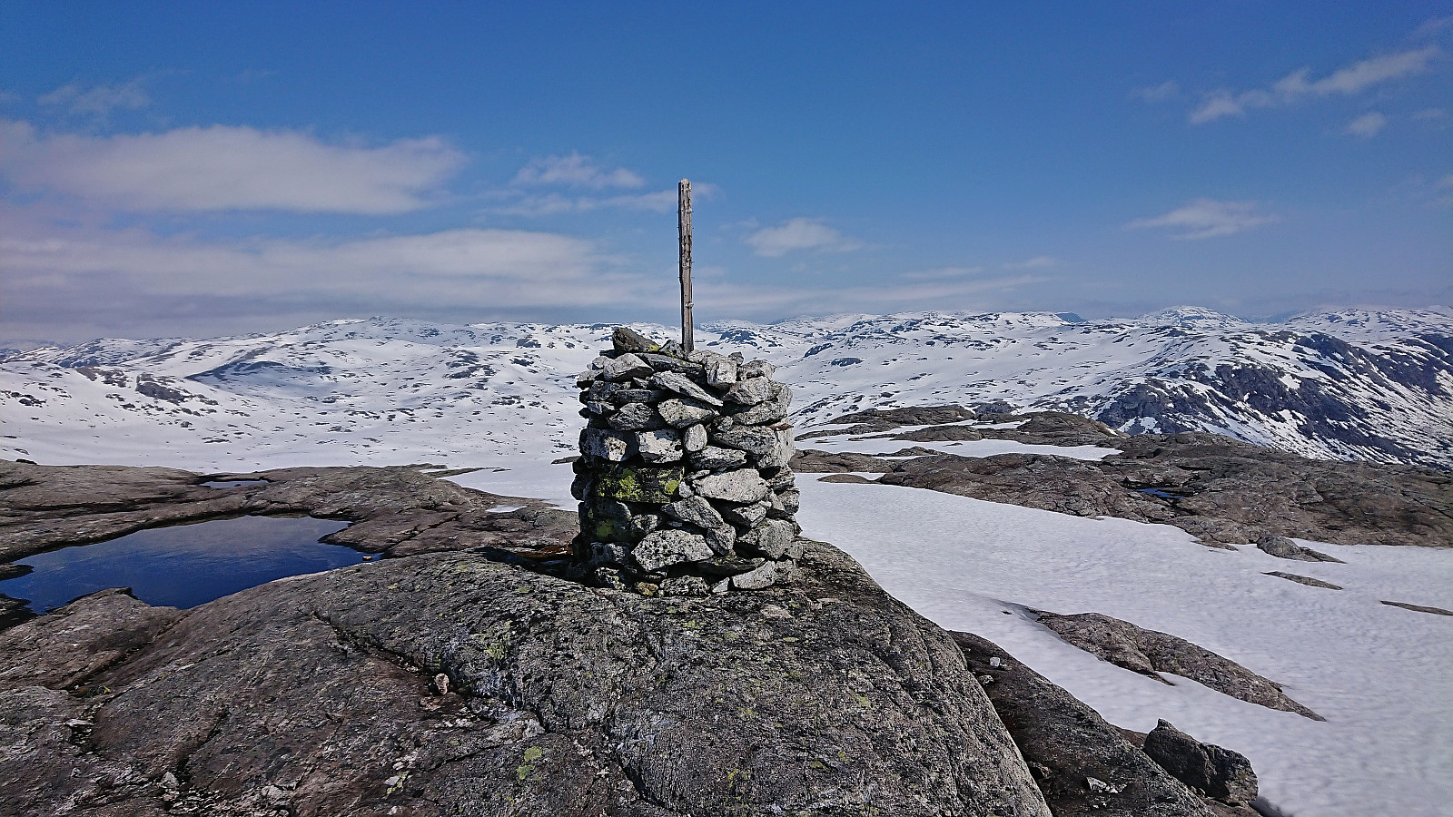
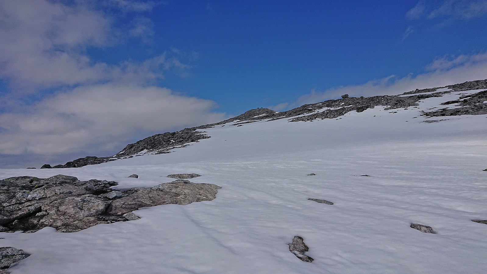
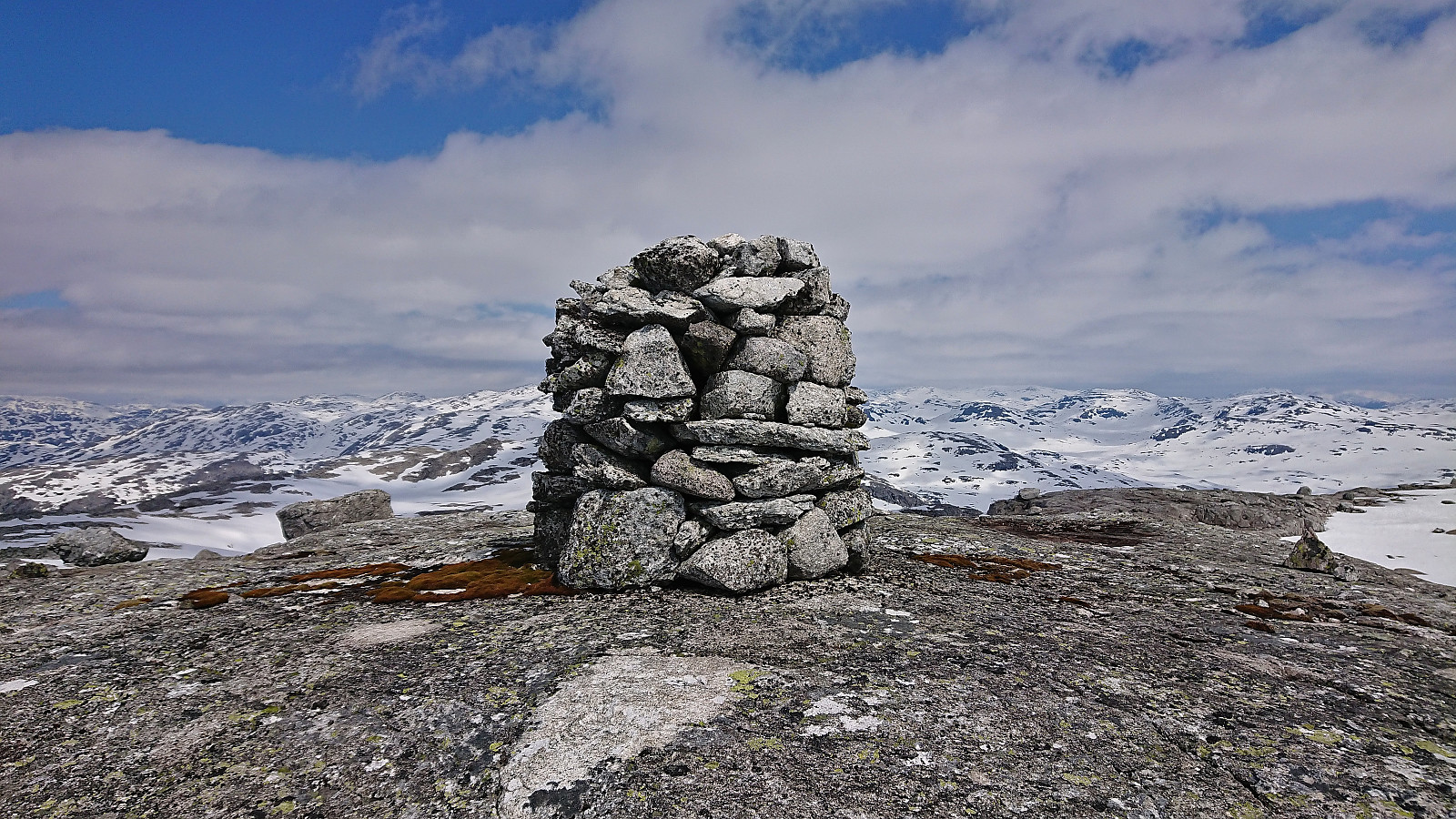
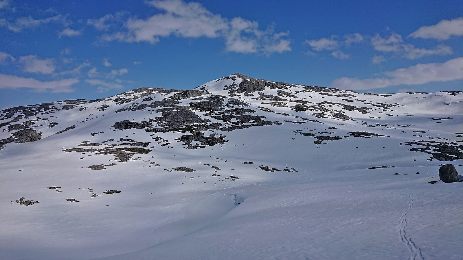
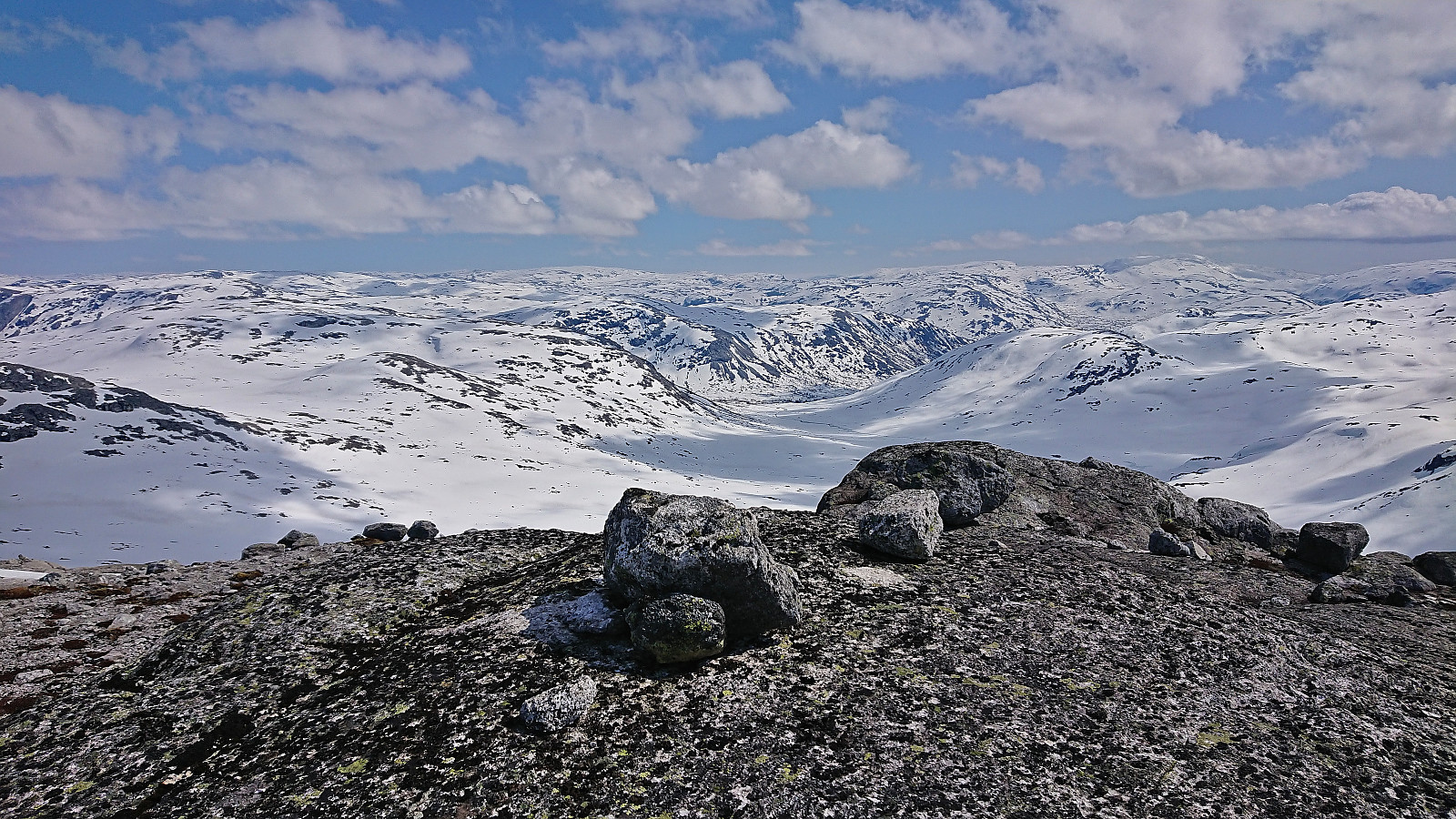
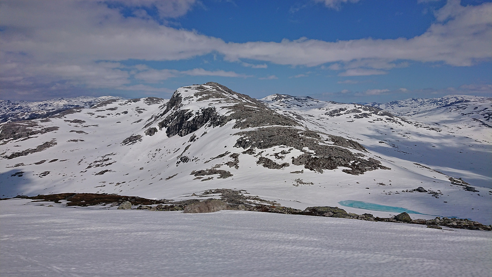
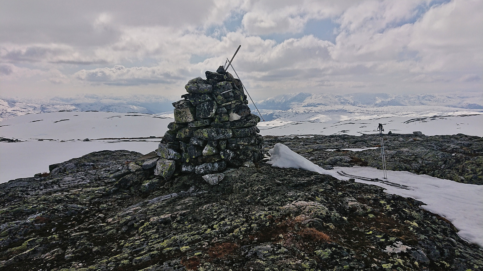
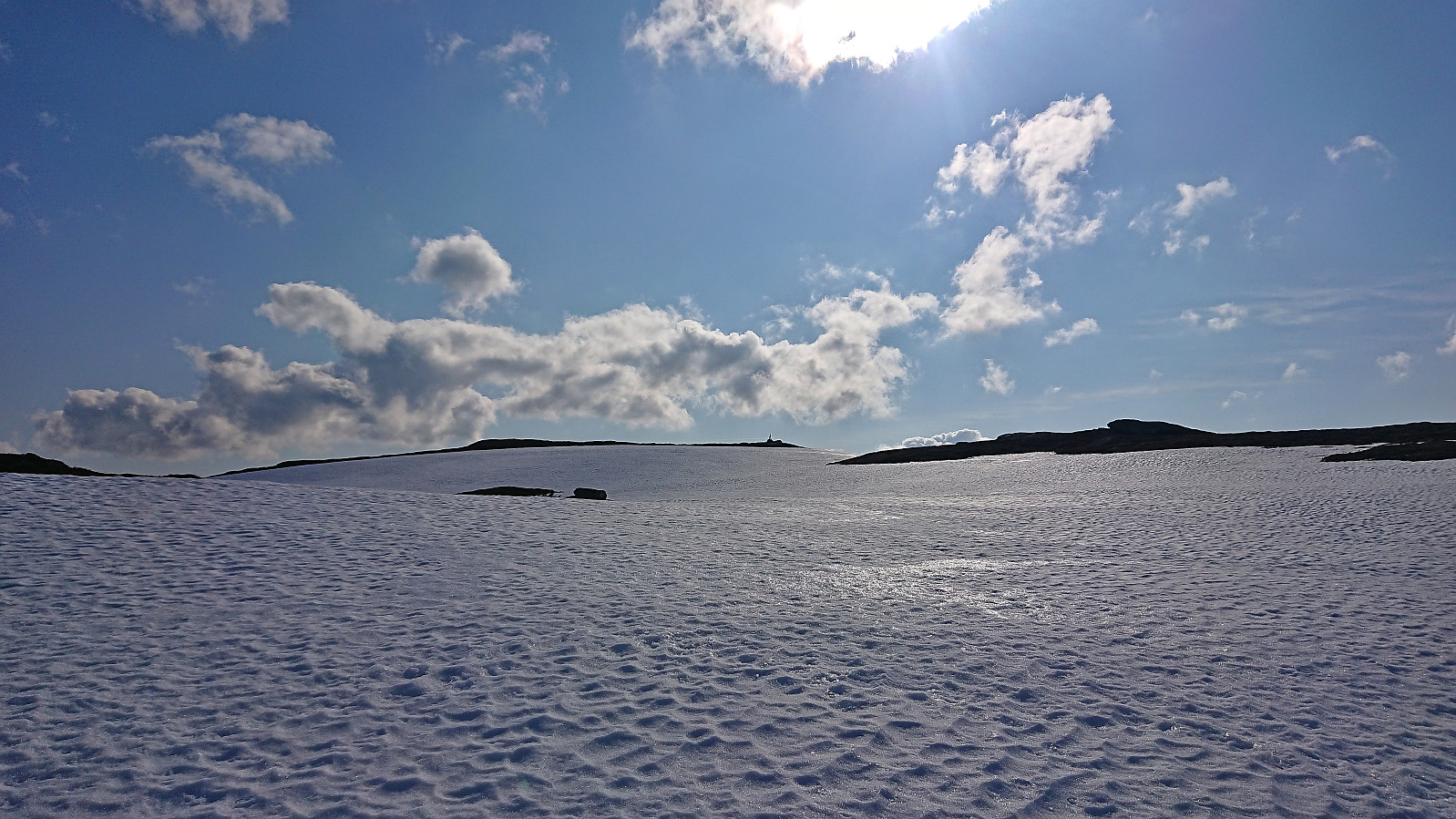
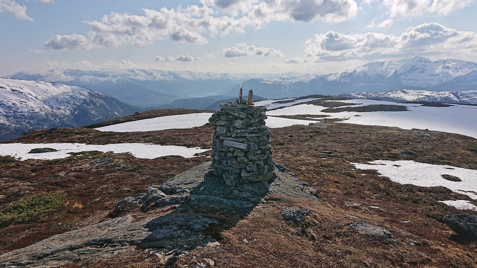
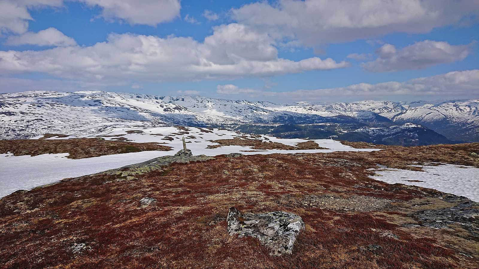
Finally arriving at Nordmannaskaret, the climbing skins were put on and I was ready for the 300 meters vertical ascent to the highest point of the day: Kaldanuten. Unlike the traverse across Nordøst for Kaldanuten, this ascent was thankfully straightforward and I arrived at the large summit cairn without any issues. After a short break, I figured out that I most likely had the time to also visit Storebottseggi. It had been on my list as a potential bonus peak, depending on if there was enough snow and if I had sufficient time. While the former seemed ok, I was not 100% about the latter, but decided to at least have an attempt.
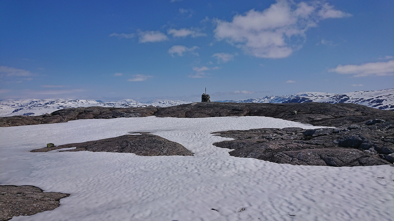
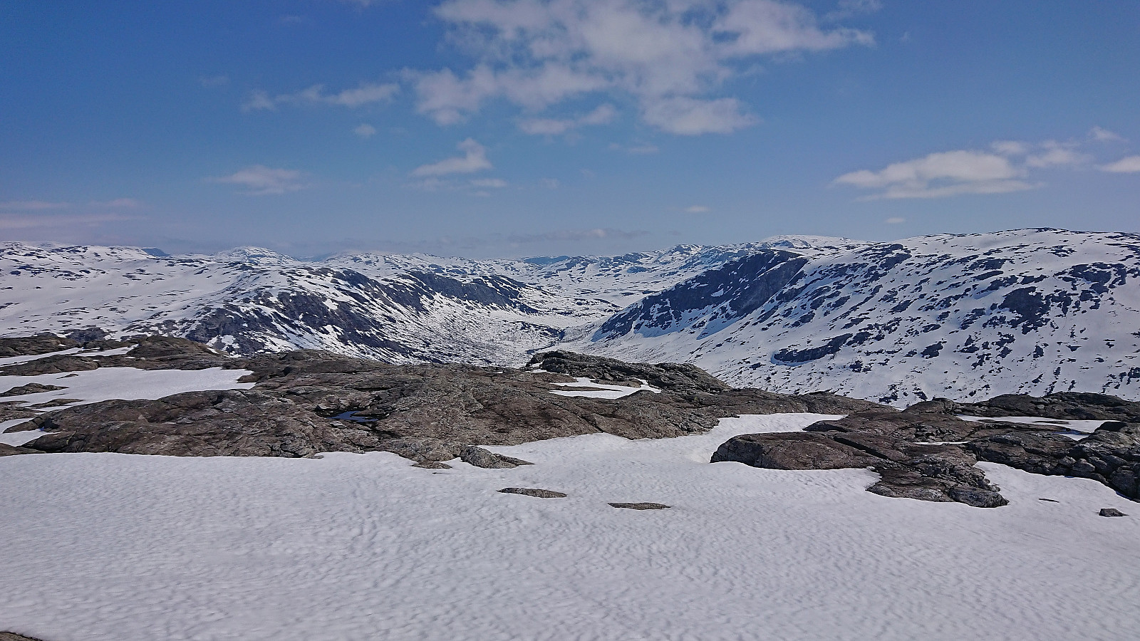
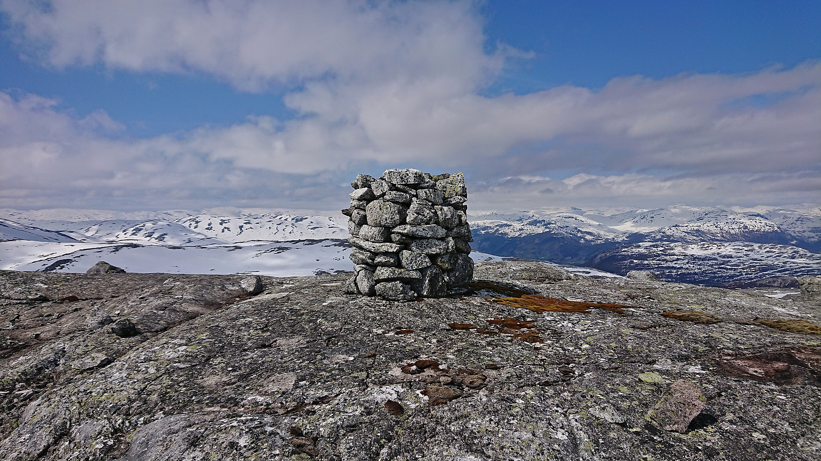
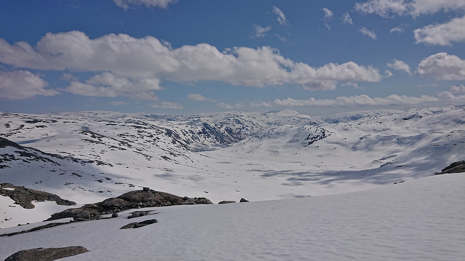
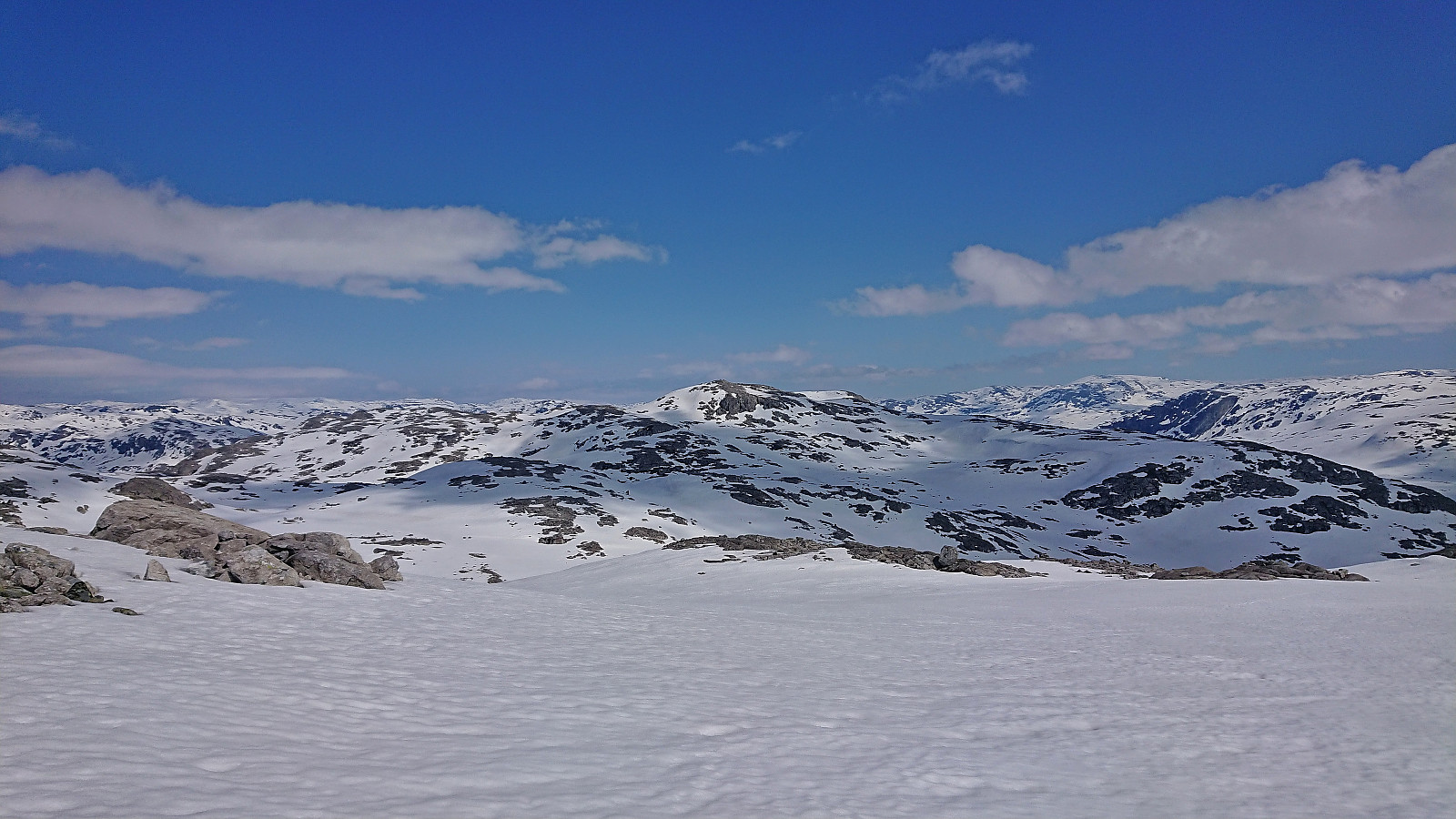
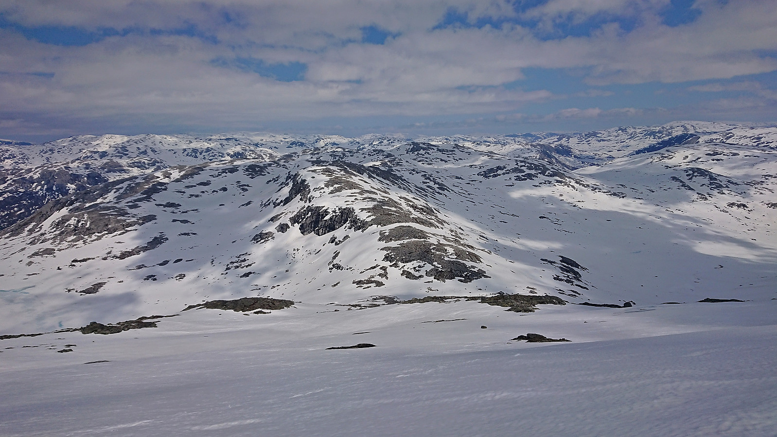
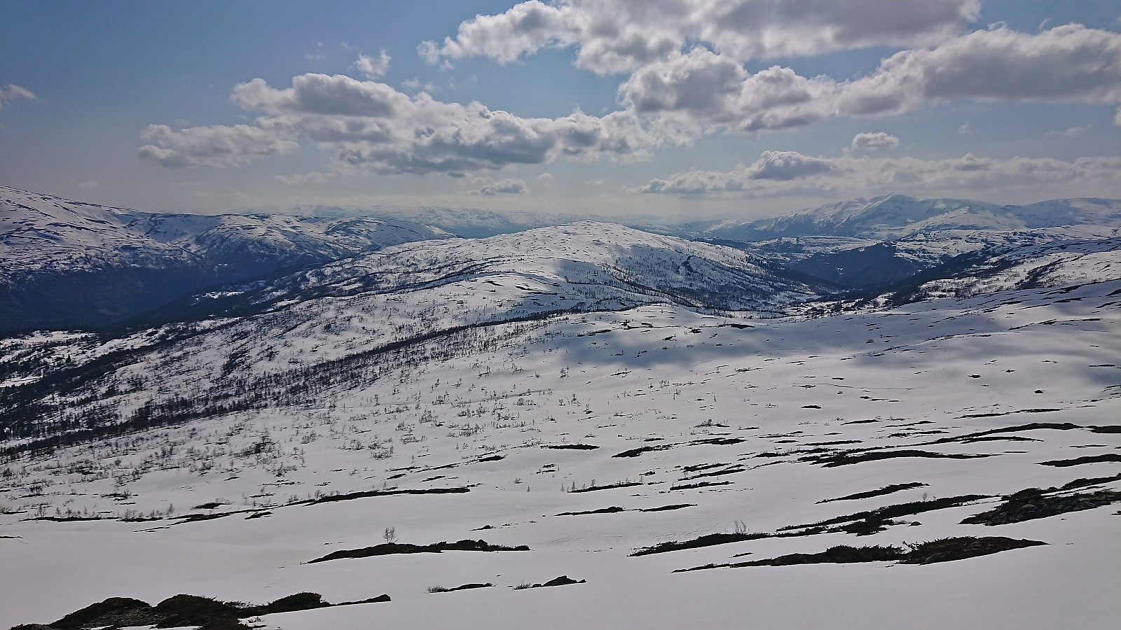
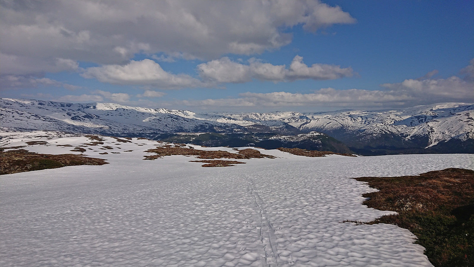
The descent from Kaldanuten to Jonnstølseggi was straightforward with the only challenge being to find a path where I did not have to carry the skis, this was however less of an issue than I had feared. After putting on the climbing skins for the last time, I began the ascent to Storebottseggi, constantly keeping track of the time to make sure that I would not miss the train. In the end, the summit was reached without any issues and I could briefly enjoy the excellent views before removing the climbing skins and starting my descent.
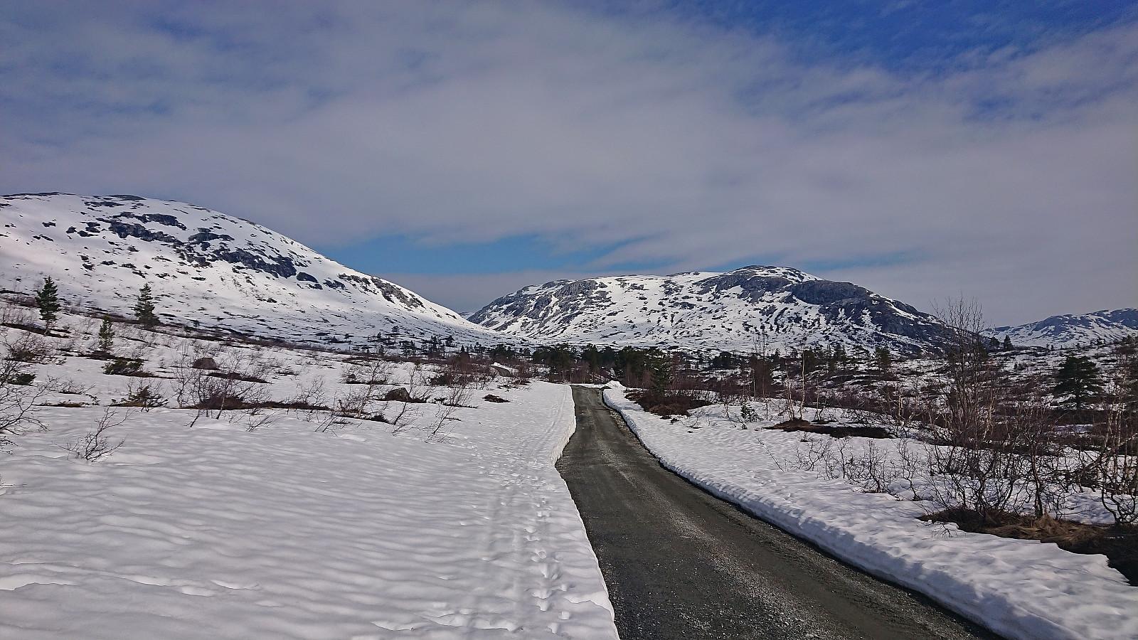
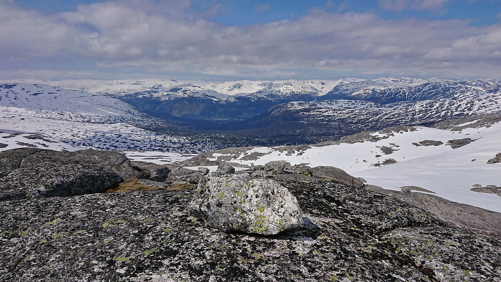
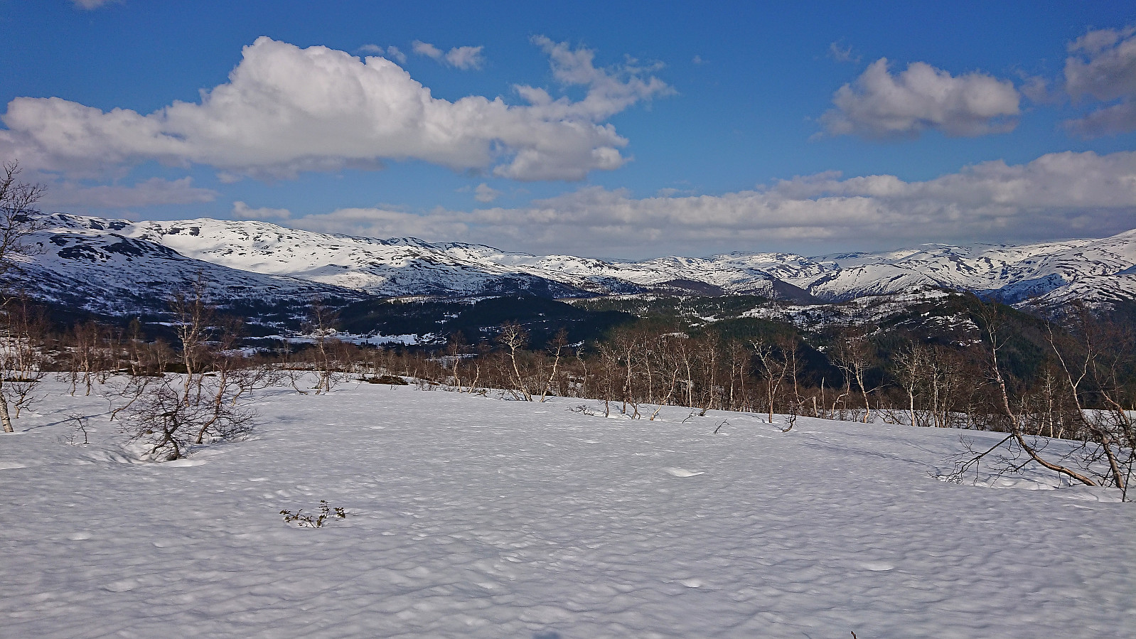
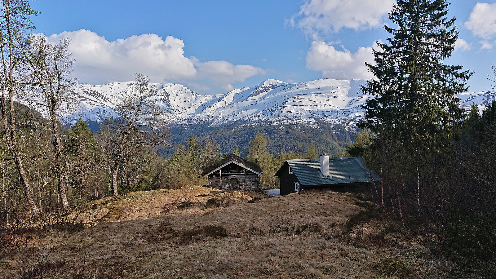
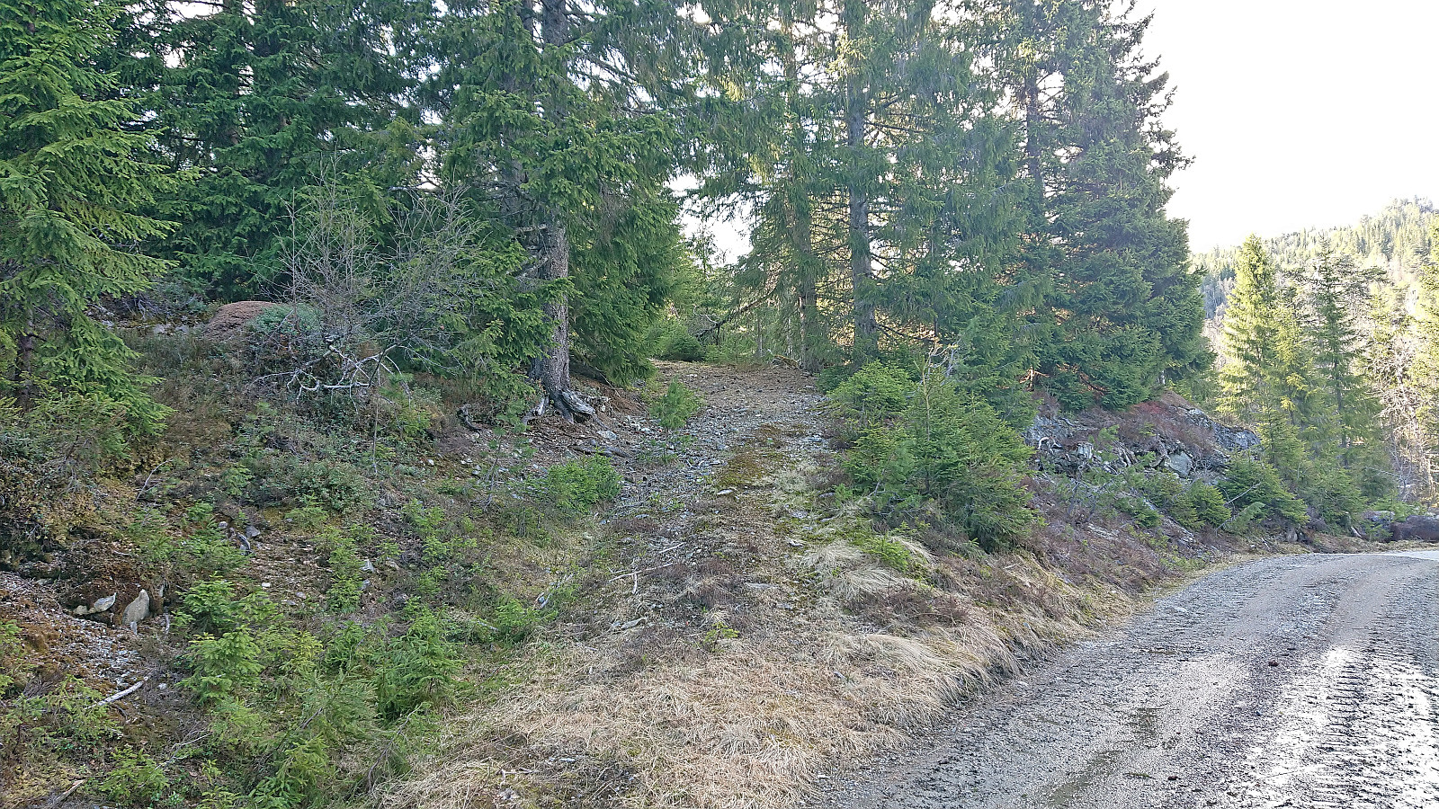
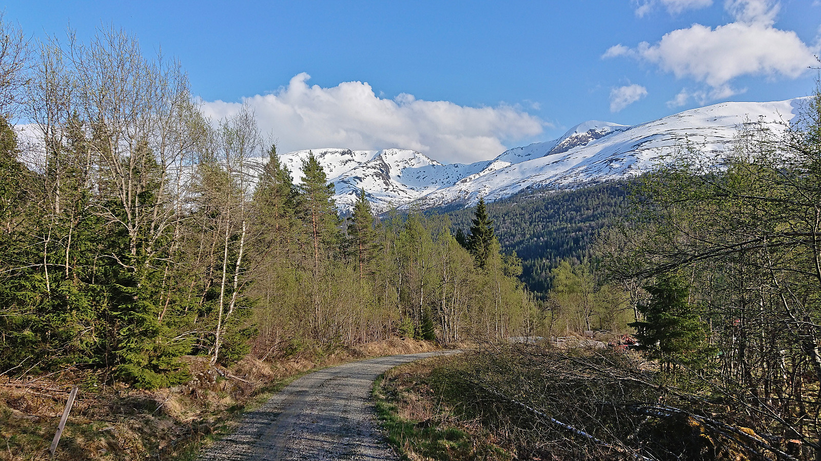
From Storebottseggi I decided to aim for the cabins at Øyaset, as the map there indicated a trail connecting with the gravel road to the train station at Skiple. At first this was straightforward and I made good progress. Later the number of trees to avoid continued to increase, but still manageable. However, when the snow also gradually disappeared there was no choice but to remove the skis and carry them the rest of the way. Due to the dense vegetation this was a bit tricky at first, but as soon as I got close to the beforementioned cabins I connected with a trail that could relatively easily be followed to the gravel road.
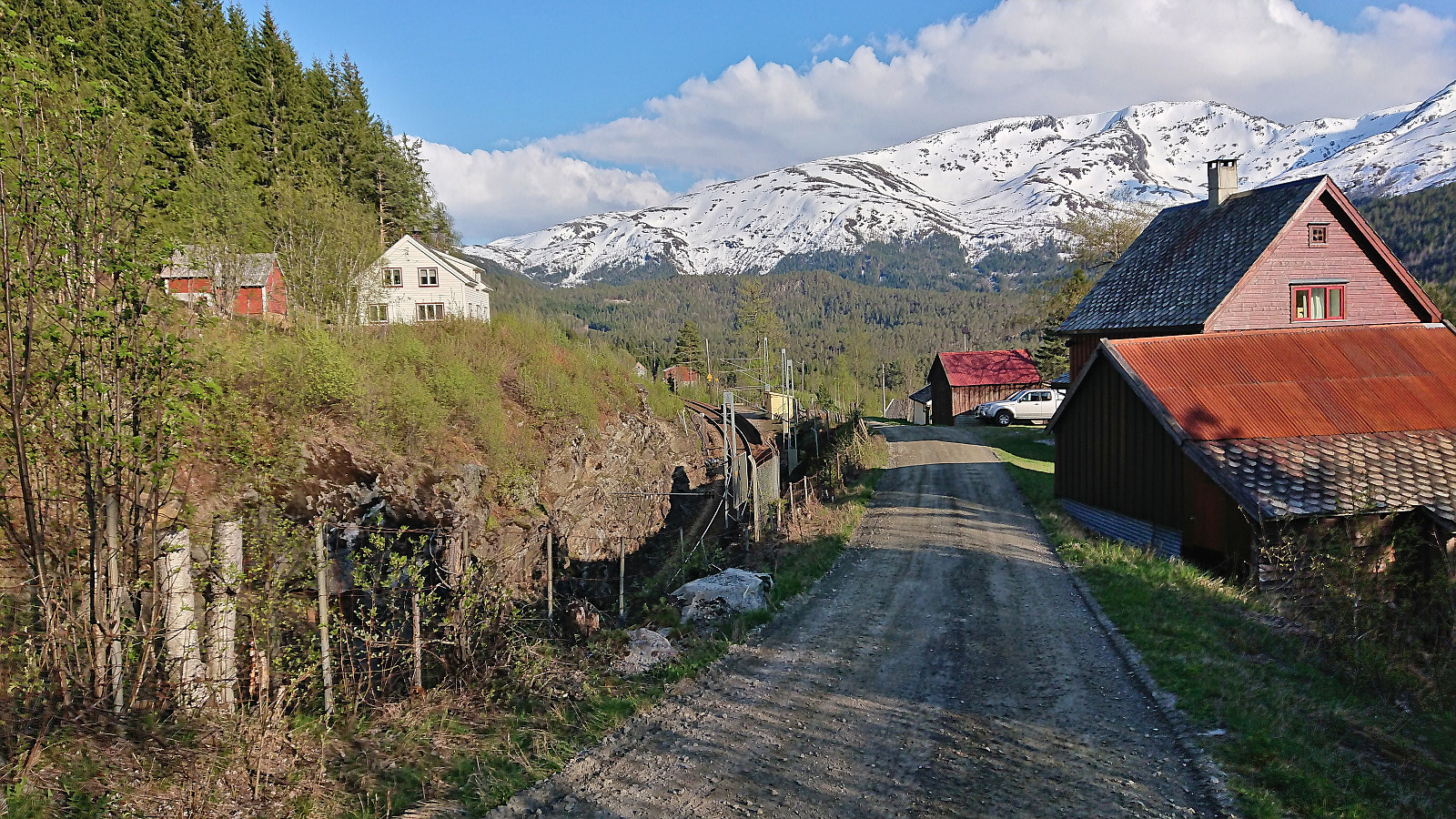
Upon reaching the gravel road I checked my watch and concluded that I should have just enough time to get to the station in time for the train back to Bergen, at least with a bit of light running/fast walking. In the end, I made it to the station with less than 10 minutes to spare and with the train being around 8 minutes late, I could even have a short break at the tiny station before the train arrived.
In summary, an excellent skiing trip that can be very highly recommended. Probably a good idea to do it slightly earlier in the year though in order to avoid the lack of snow between NV av Grodjuvenuten and Nordmannaskaret. Note also that a large part of this trip is inside the Mjølfjell - Brandset skyte- og øvingsfelt, hence the area may be off-limits when used by the military.
| Starttidspunkt | 20.05.2023 09:00 (UTC+01:00 ST) |
| Sluttidspunkt | 20.05.2023 19:13 (UTC+01:00 ST) |
| Totaltid | 10t 12min |
| Bevegelsestid | 8t 18min |
| Pausetid | 1t 53min |
| Snittfart totalt | 3,3km/t |
| Snittfart bevegelsestid | 4,0km/t |
| Distanse | 33,3km |
| Høydemeter | 1638m |


Kommentarer