
Vardafjellet and Dalstuva (07.05.2023)

Geschrieben von hbar (Harald Barsnes)

| Startpunkt | Rekstravegen v/Smievoll (42m) |
|---|---|
| Endpunkt | Rekstravegen v/Smievoll (42m) |
| Tourcharakter | Bergtour |
| Tourlänge | 3h 44min |
| Entfernung | 9,4km |
| Höhenmeter | 571m |
| GPS |
|
| Besteigungen | Dalstuva (335m) | 07.05.2023 12:55 |
|---|---|---|
| Vardafjellet (232m) | 07.05.2023 12:55 | |
| Besuche anderer PBE | Haukafær p-plass (42m) | 07.05.2023 12:55 |
Vardafjellet and Dalstuva
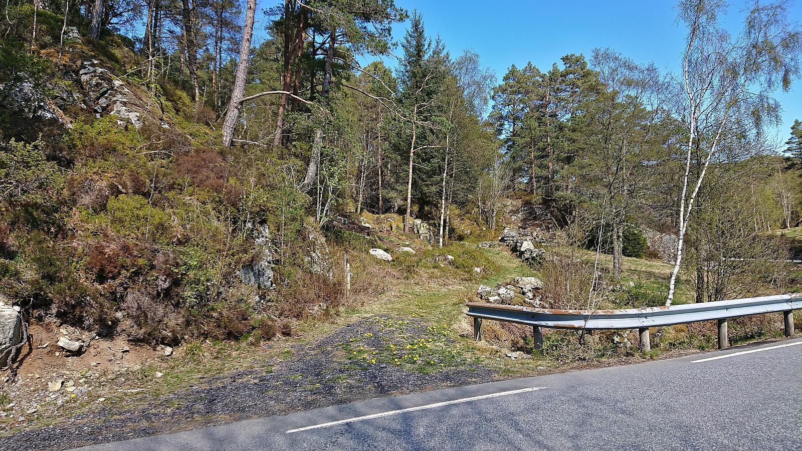
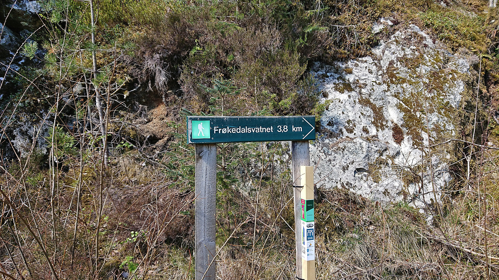
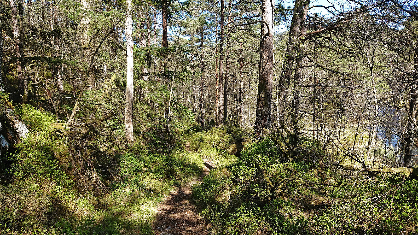
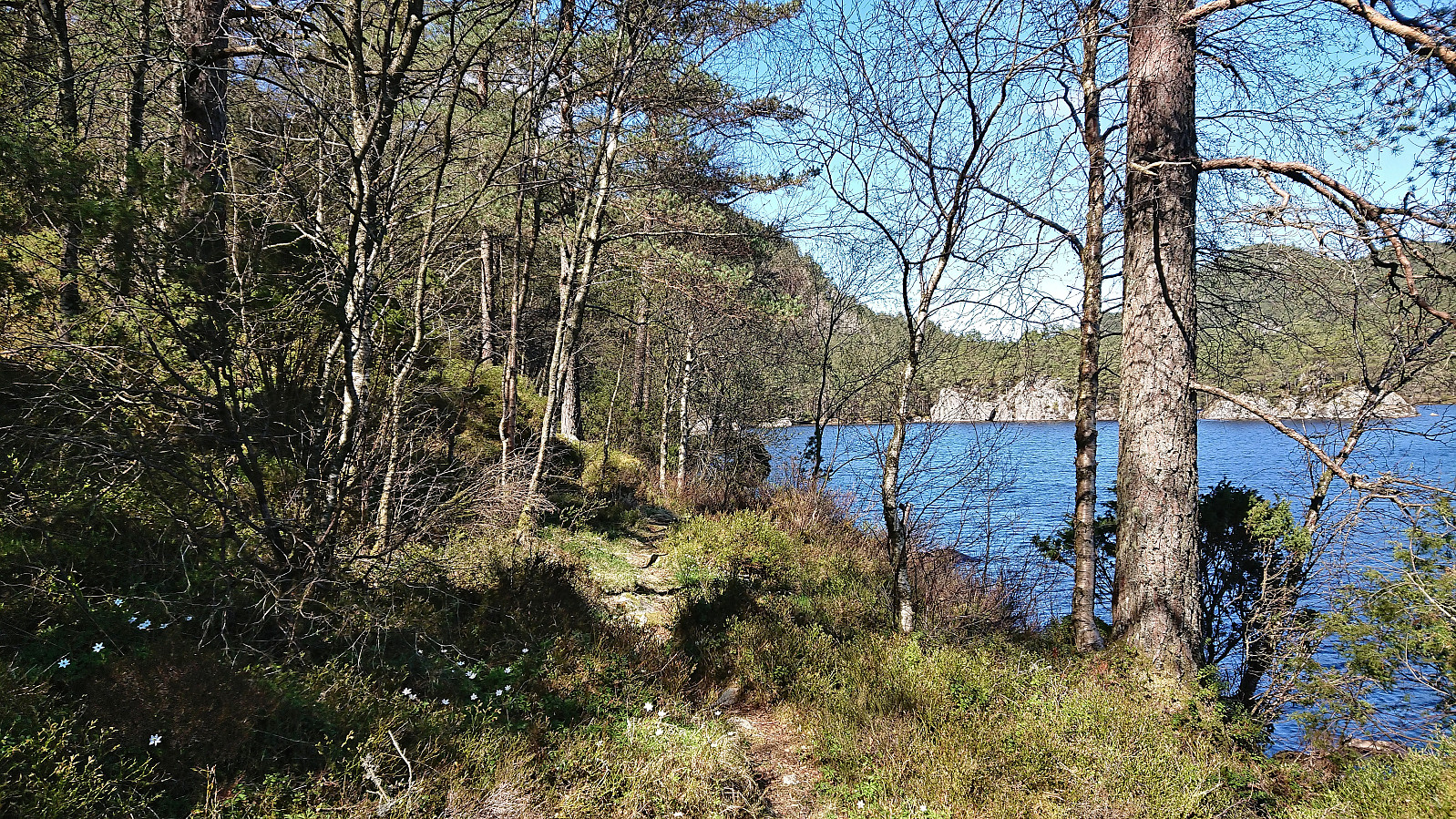
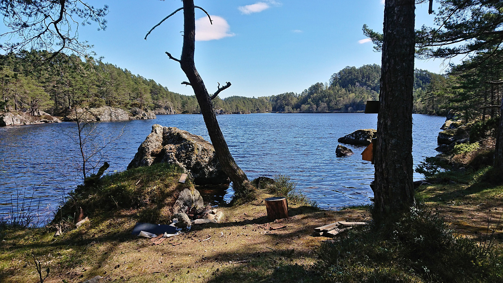
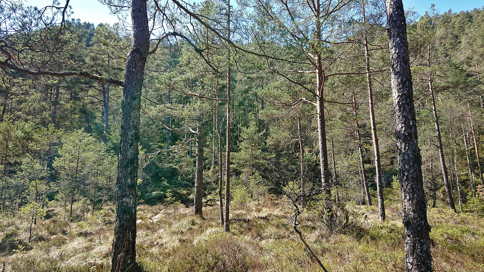
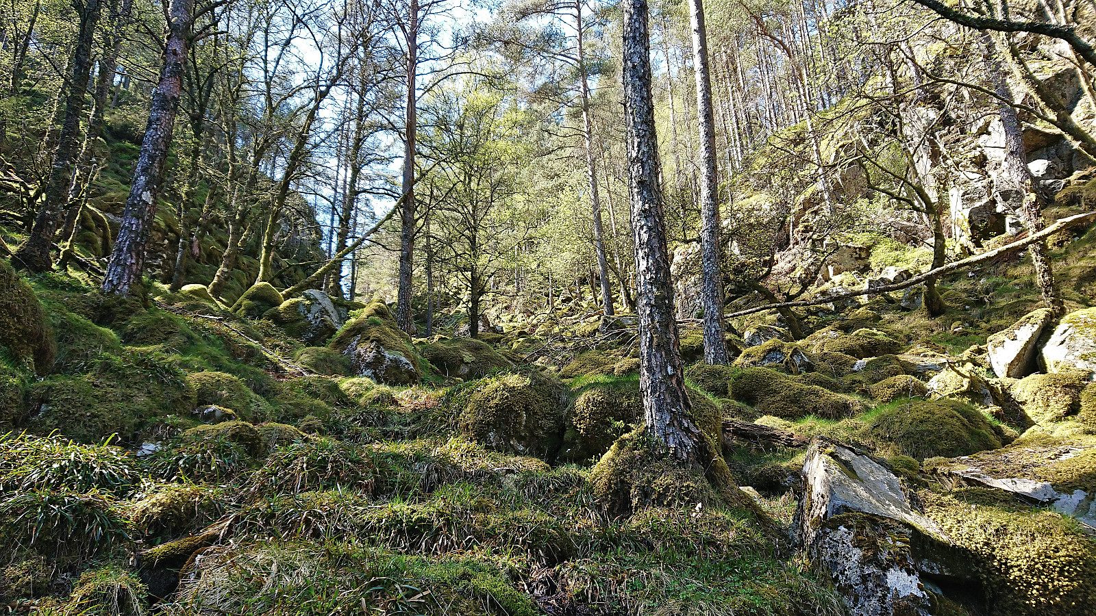
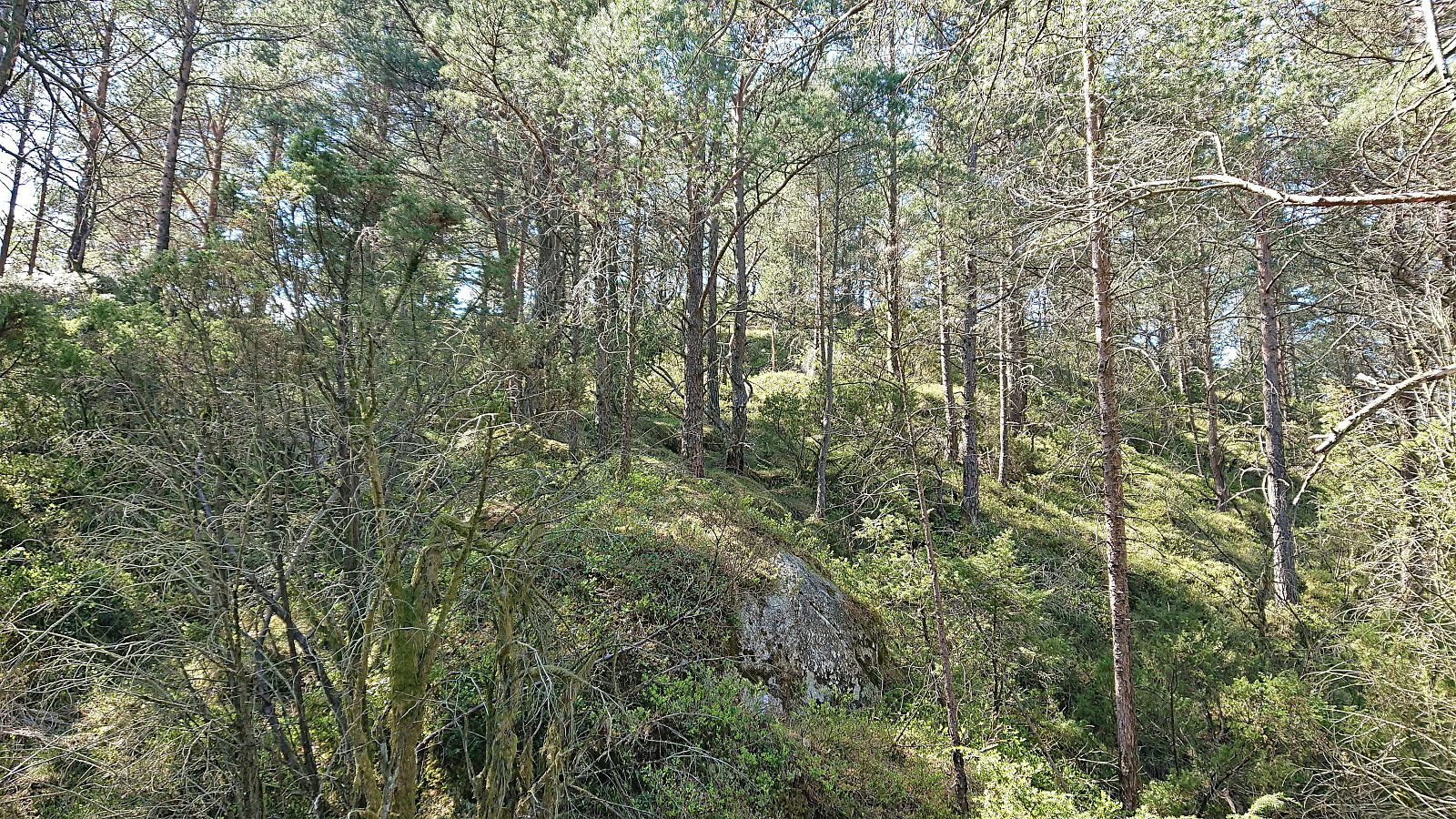
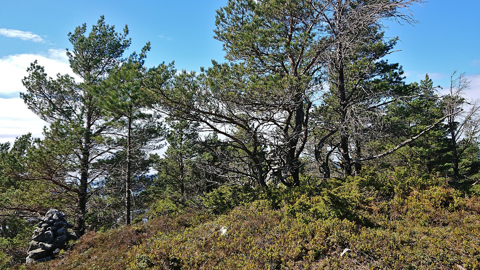
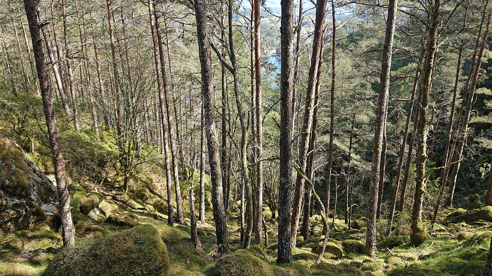
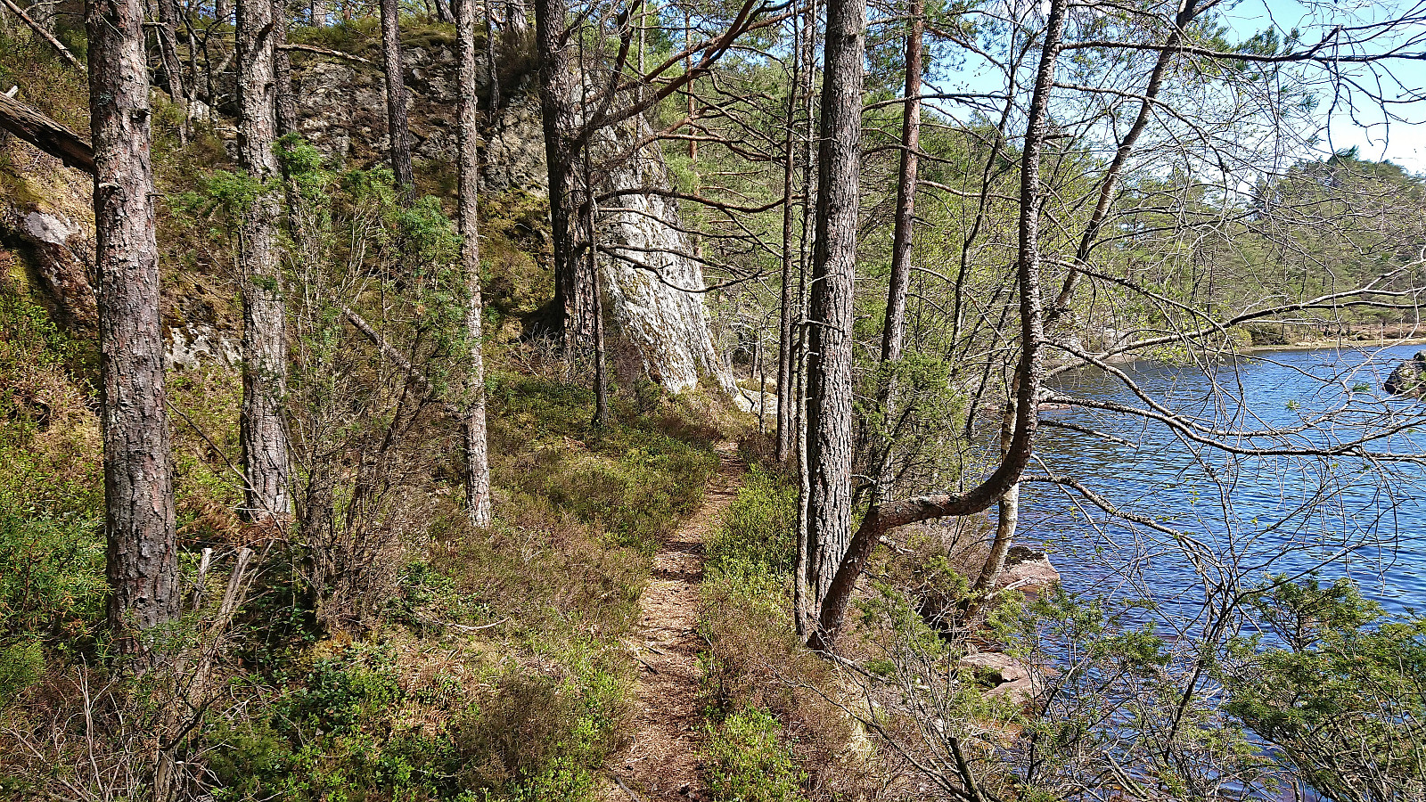
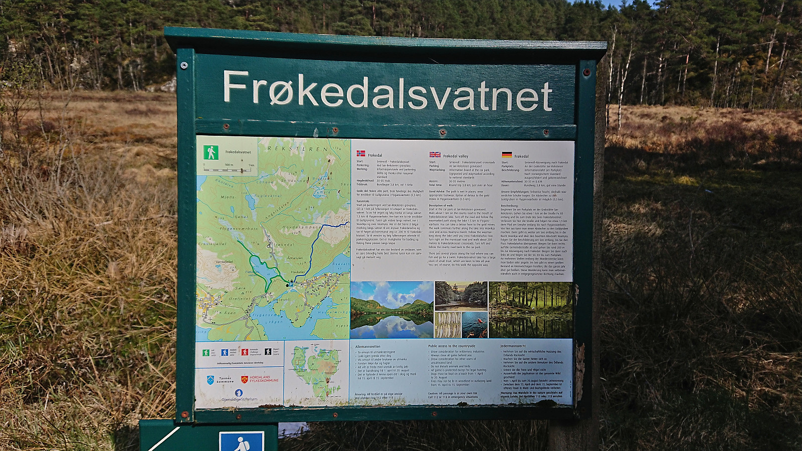
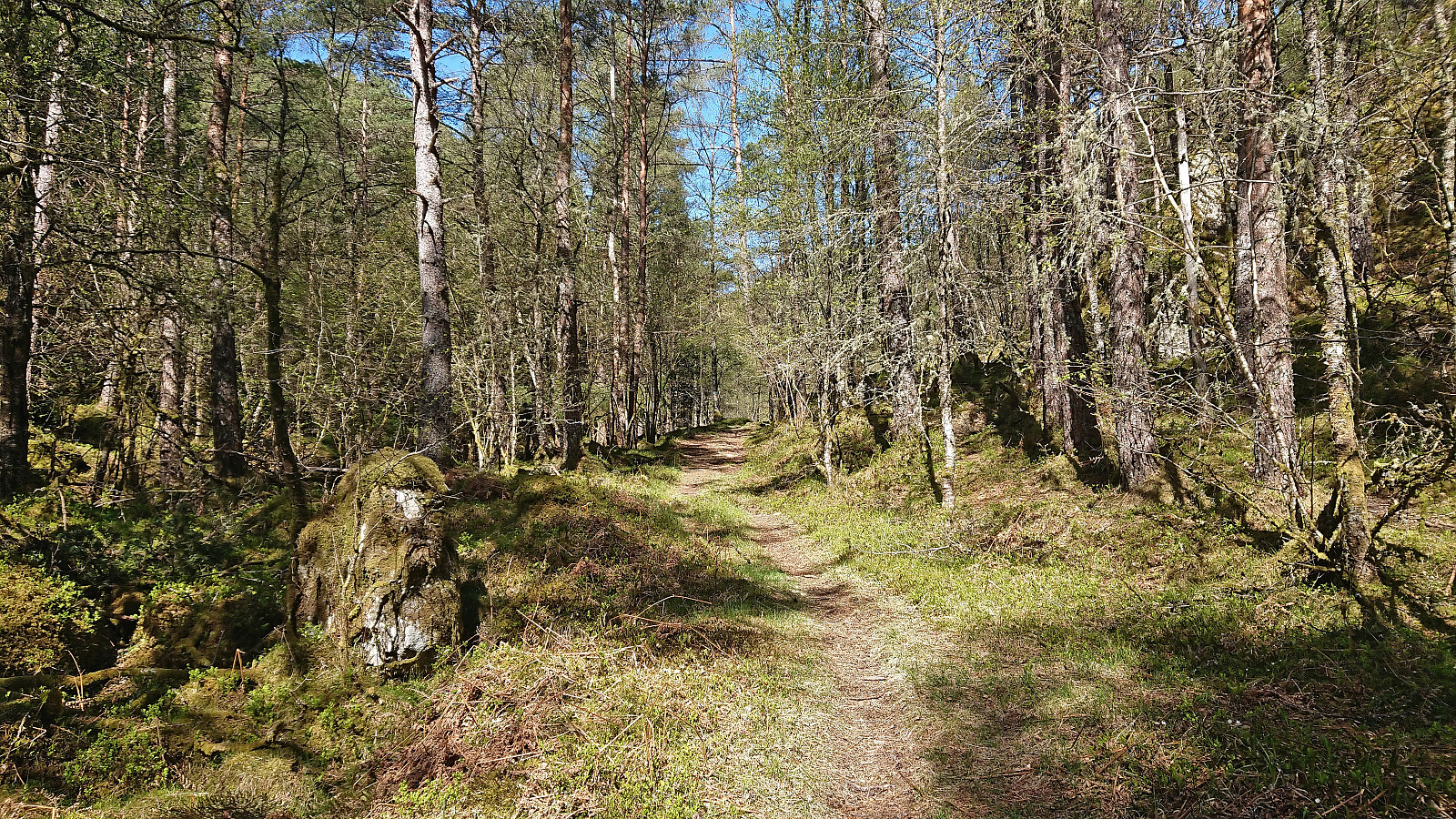
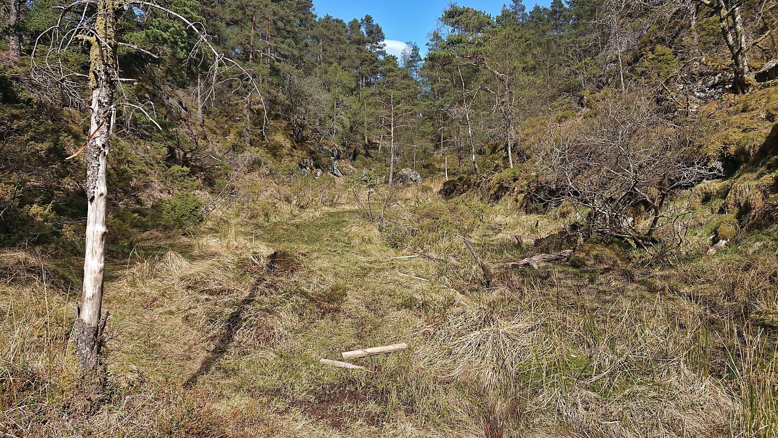
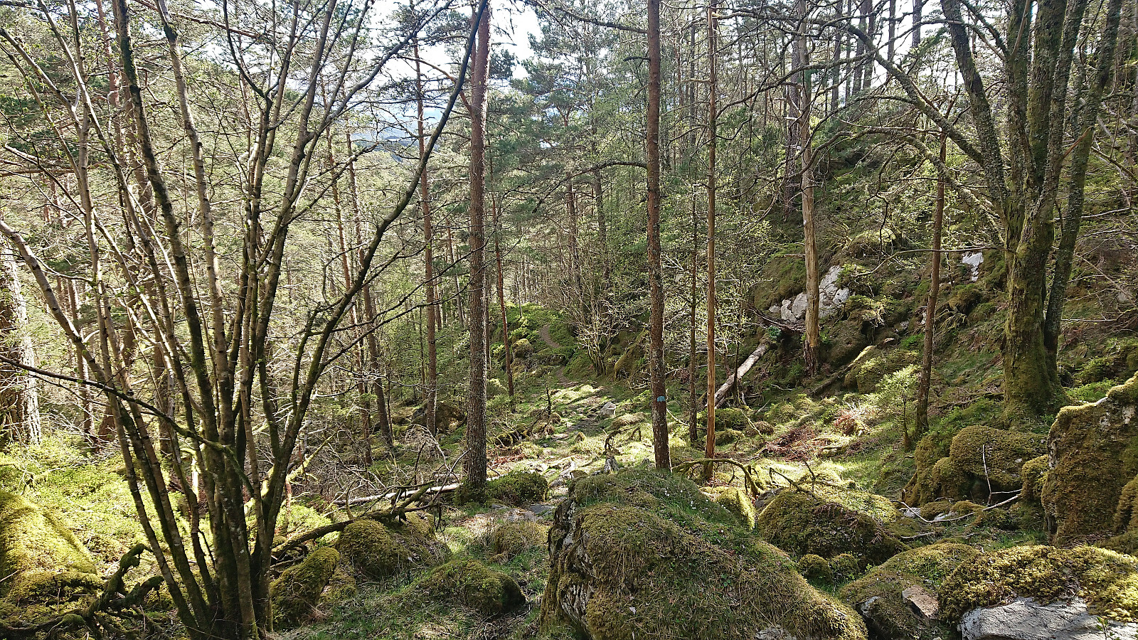
After leaving my bike behind at the trailhead for the roundtrip of Frøkjedalsvatnet, I followed the marked trail north along the lake before heading off-trail for the final 500 meters to the summit of Vardafjellet. The terrain was overall easy to traverse, but there were also areas with lots of moss-covered rocks with small gaps between them such that one had to tread carefully. Closer to the summit the terrain turned steeper and there were more trees and bushes to navigate around, but overall the summit was reached without any real issues.
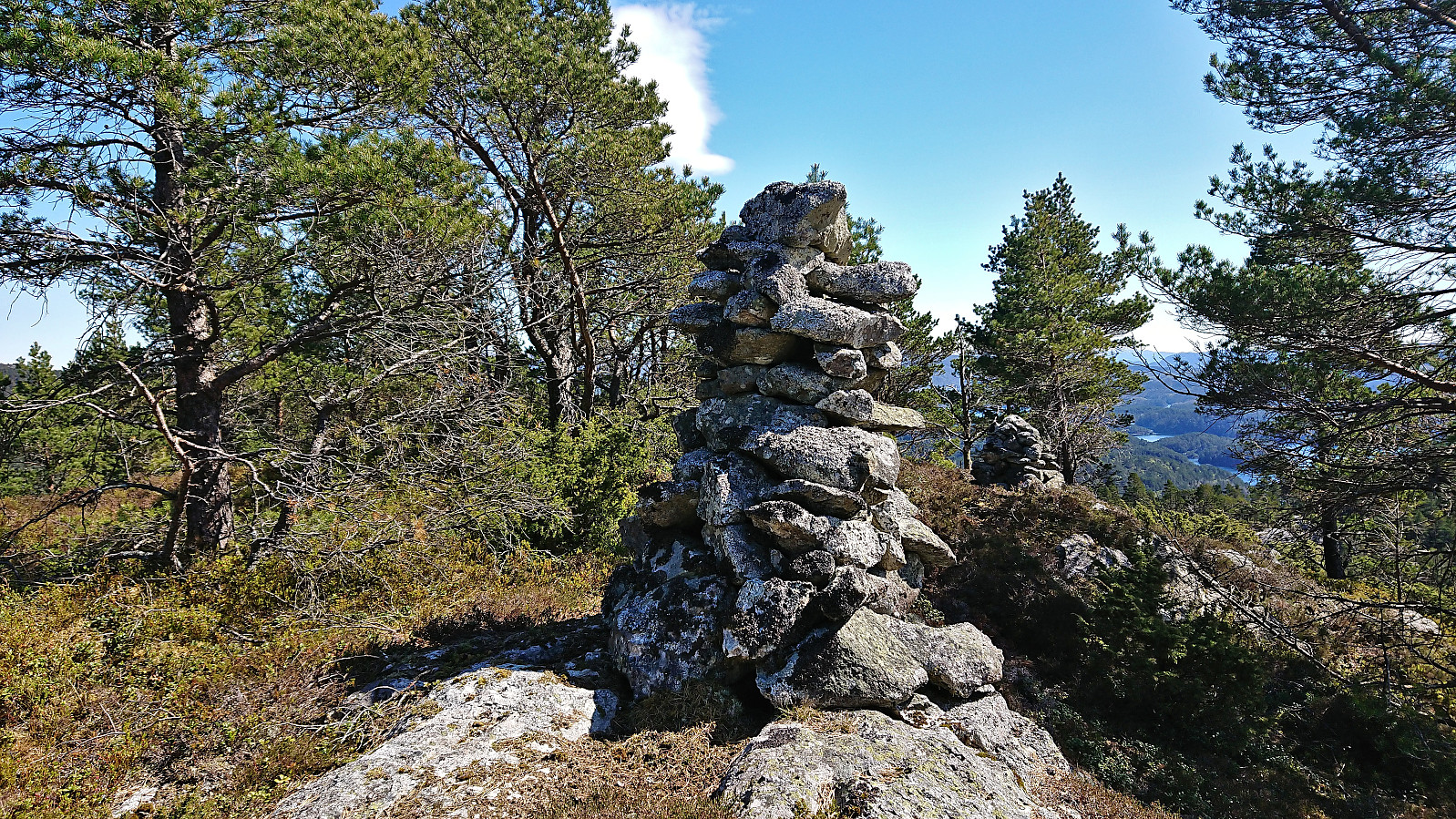
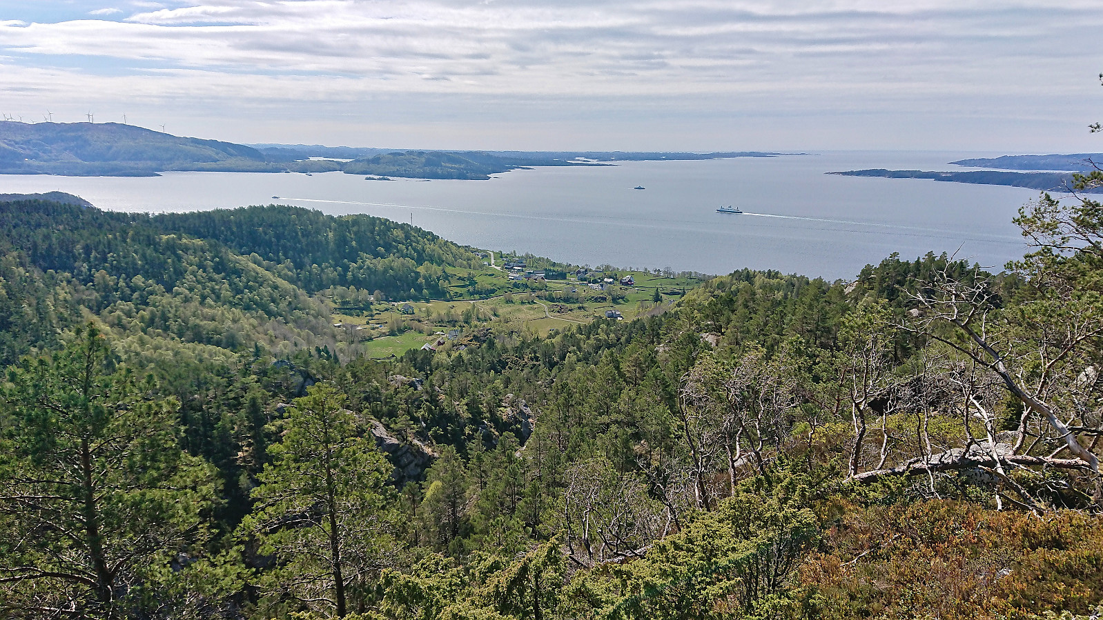
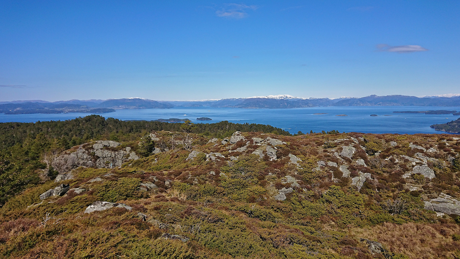
Two large old cairns at the Vardafjellet summit, however the actual summit is most likely the area around the tree just behind the largest cairn. The views from the summit where somewhat obscured by trees, but just a couple of meters to the south there were excellent views towards the south.
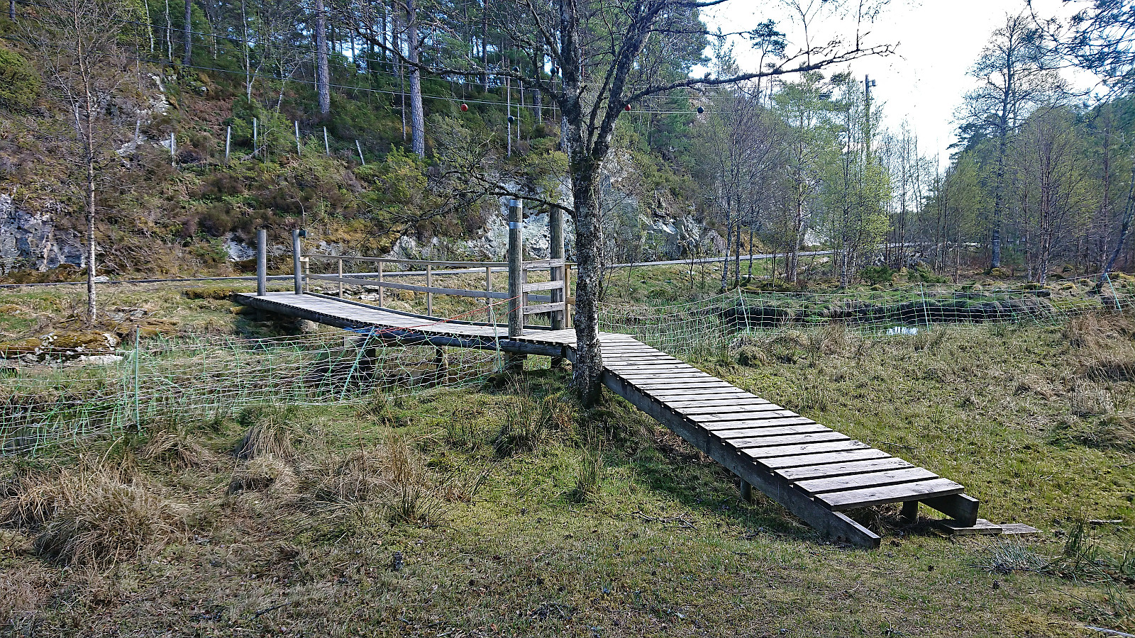
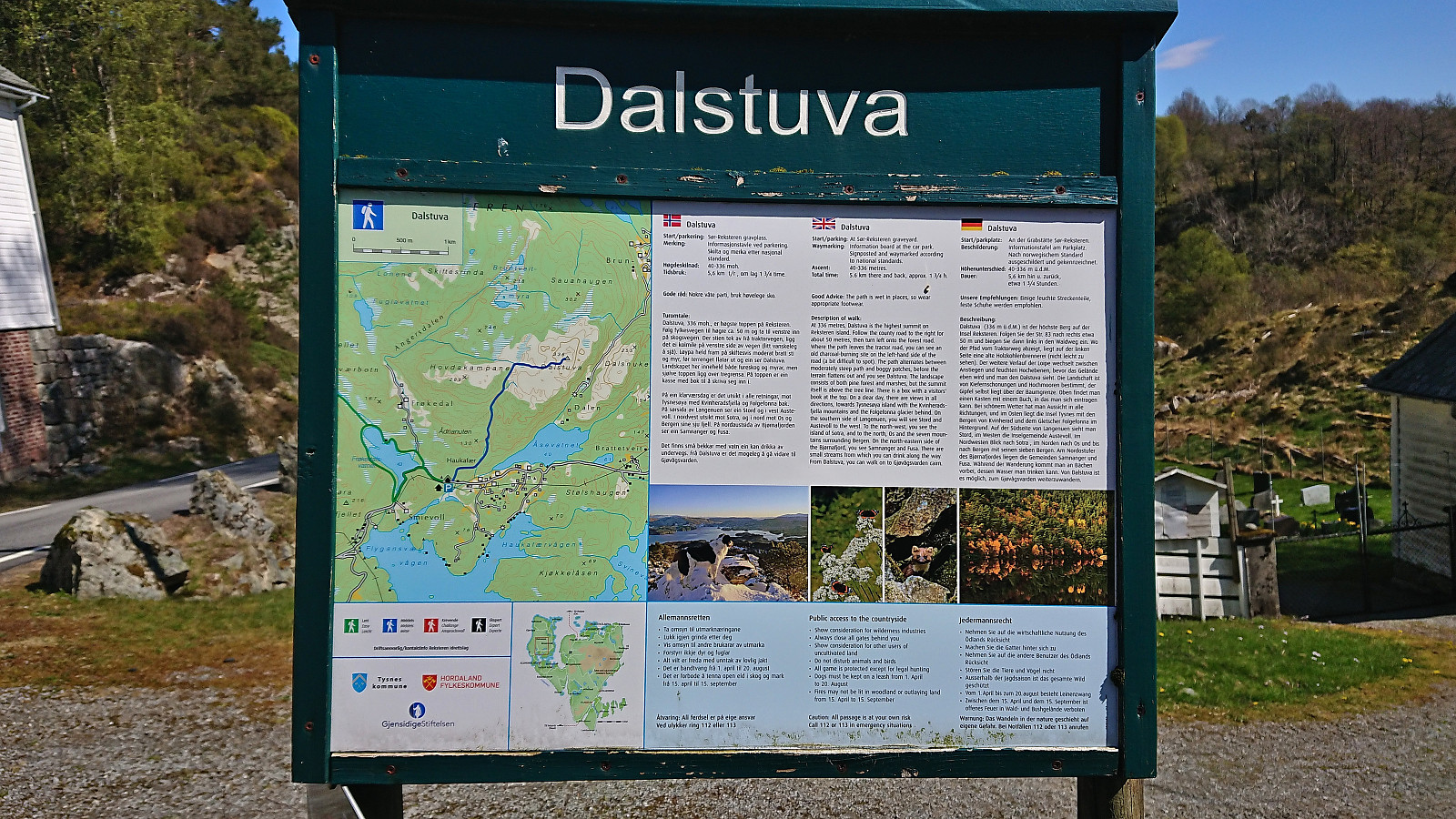
From the summit I descended along more or less the same route, as the terrain really did not provide a lot of options, and upon reconnecting with the trail decided to continue around the lake. This part of the trail had more wet and muddy sections, but could easily be followed until crossing a wooden bridge to get to the paved road in Frøkedalen. After around 600 meters along the road I arrived at the marked trailhead for Dalstuva.
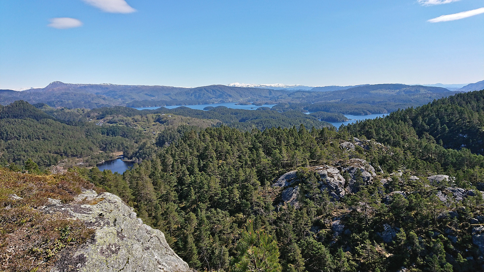
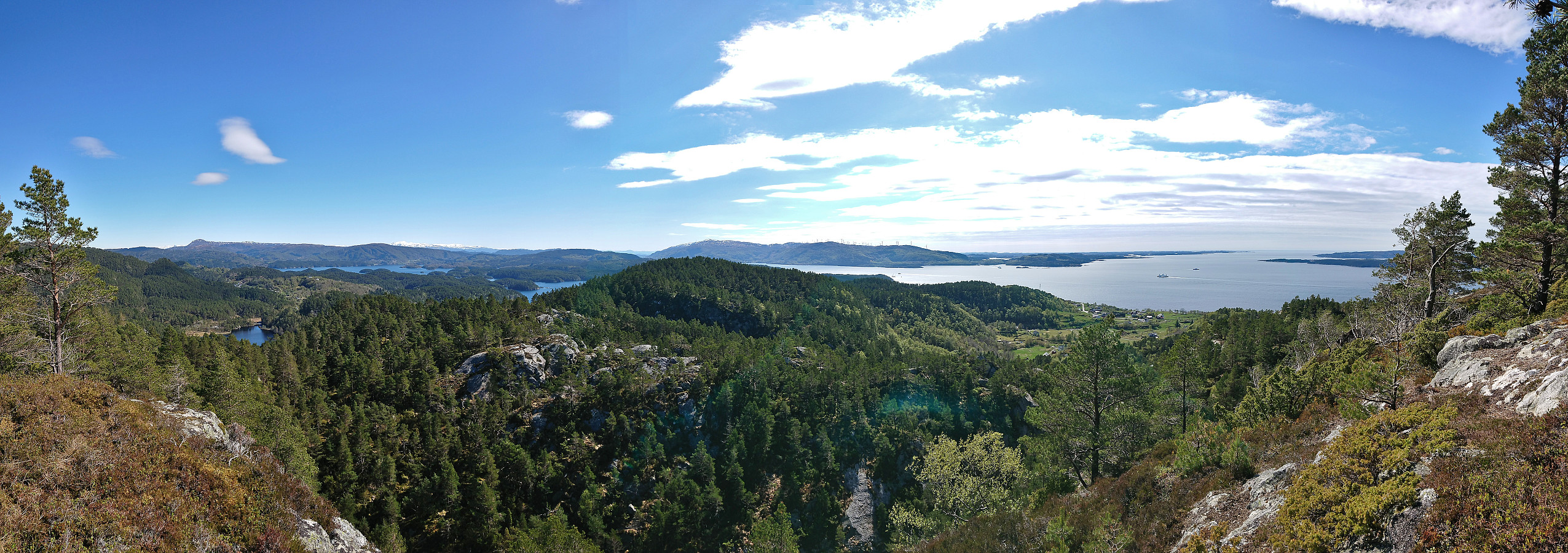
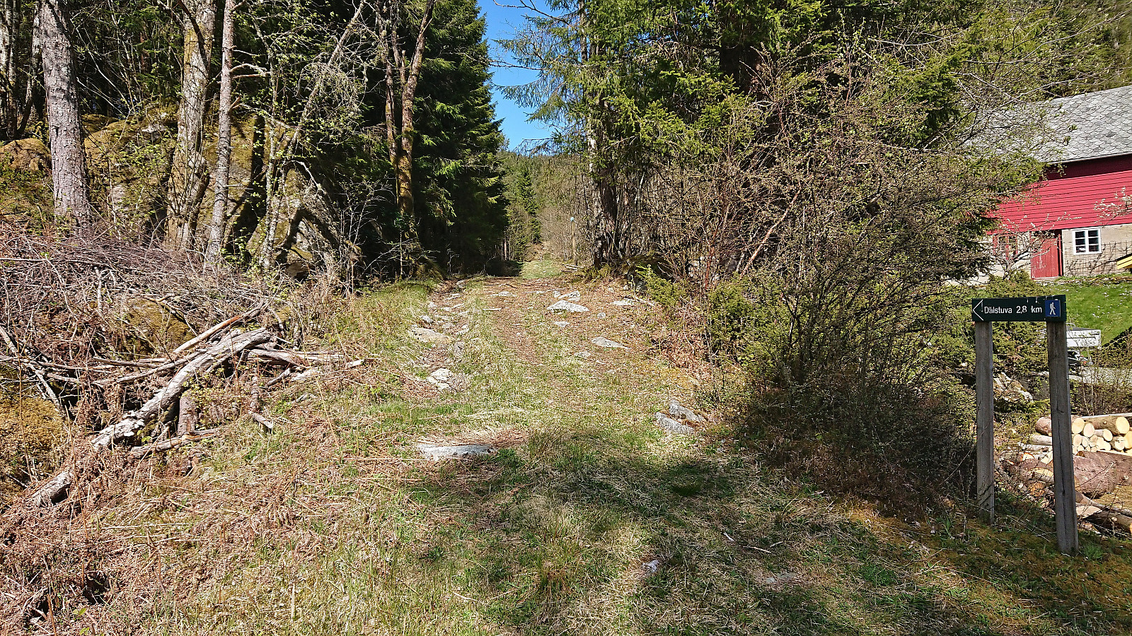
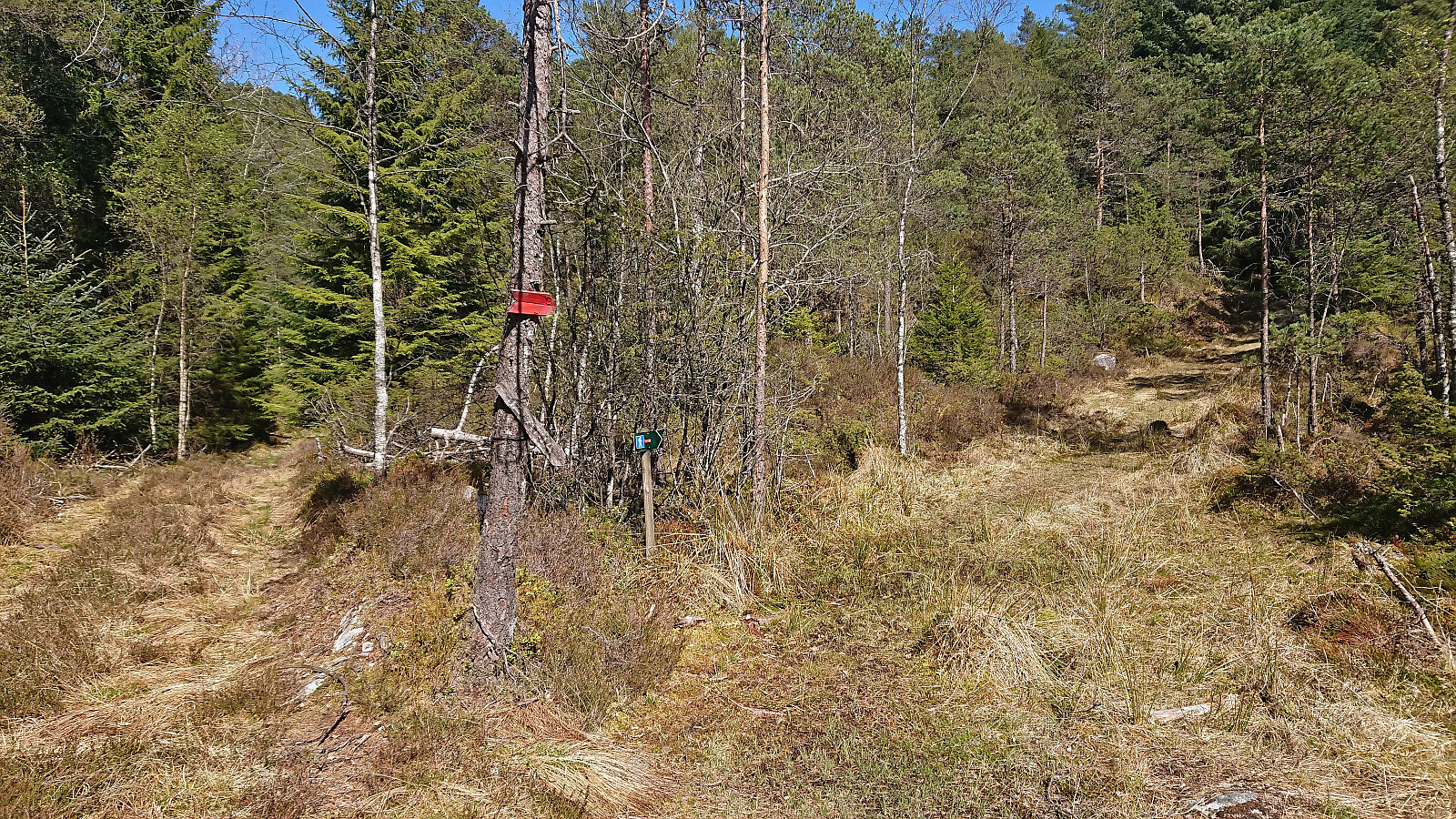
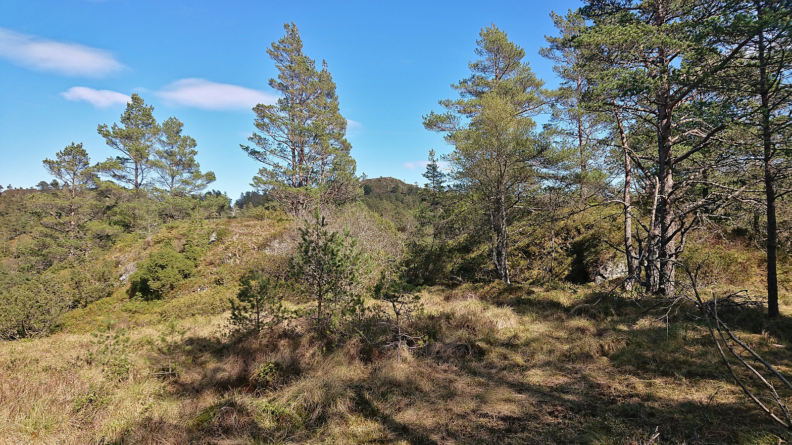
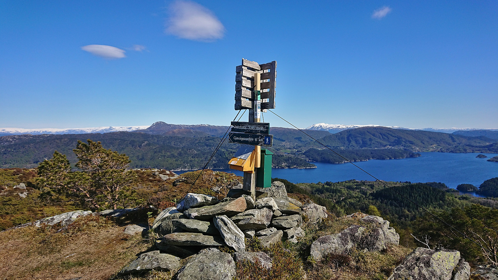
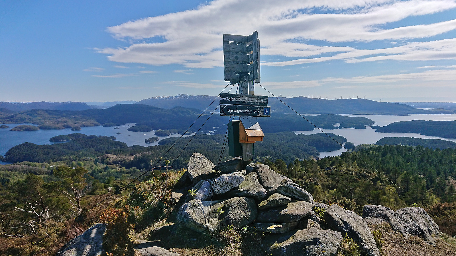
The marked trail to Dalstuva started out as a tractor road that later turned into a relatively wet trail that could easily be followed all the way to the summit. Interestingly there were at least three different types of trail markers, many of them used at the same time, but at least they all seemed to point in the same direction. The summit provided a spectacular 360 degree panoramic view, especially impressive for being only 336 meters above sea level.
After a short break at a bench just below the summit, I descended along the same route, before returning along the road to where I had left my bike at the start of the hike. All that remained was now the cycling back to Våge.
In summary, an excellent hike with the views from Dalstuva being the obvious highlight. Vardafjellet can also be visited without too much trouble, but is clearly more of an acquired taste. The trick of using the bike to get to Reksteren can also again be recommended and allows you to better enjoy the views along the way.
| Startzeitpunkt | 07.05.2023 12:55 (UTC+01:00 SZ) |
| Endzeitpunkt | 07.05.2023 16:39 (UTC+01:00 SZ) |
| Gesamtzeit | 3h 44min |
| Zeit in Bewegung | 3h 10min |
| Pausenzeit | 0h 34min |
| Gesamtschnitt | 2,5km/h |
| Bewegungsschnitt | 3,0km/h |
| Entfernung | 9,4km |
| Höhenmeter | 571m |


Benutzerkommentare