
Lierfjellet, Vardafjellet, Dreng and Austvikfjellet (01.04.2023)

Written by hbar (Harald Barsnes)

| Start point | Hanaleitet (47m) |
|---|---|
| Endpoint | Liereid sør terminal (48m) |
| Characteristic | Hillwalk |
| Duration | 5h 42min |
| Distance | 13.8km |
| Vertical meters | 812m |
| GPS |
|
| Ascents | Austvikfjellet (136m) | 01.04.2023 |
|---|---|---|
| Dreng (278m) | 01.04.2023 | |
| Lierfjellet (241m) | 01.04.2023 | |
| Vardafjellet (246m) | 01.04.2023 | |
| Visits of other PBEs | Dreng Nord (276m) | 01.04.2023 |
Lierfjellet, Vardafjellet, Dreng and Austvikfjellet
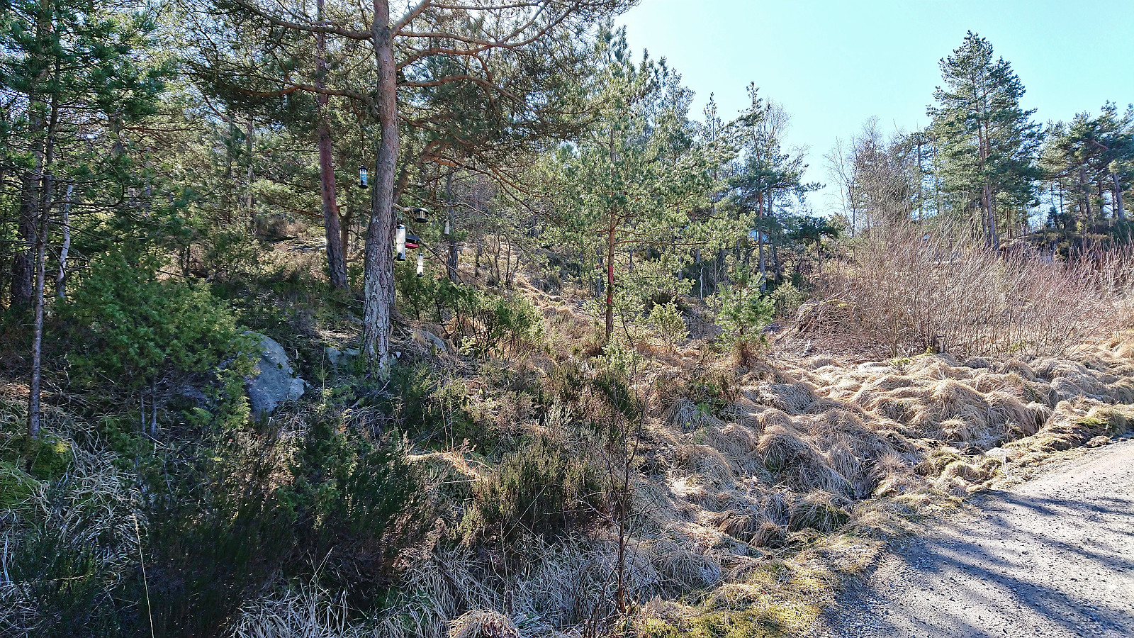
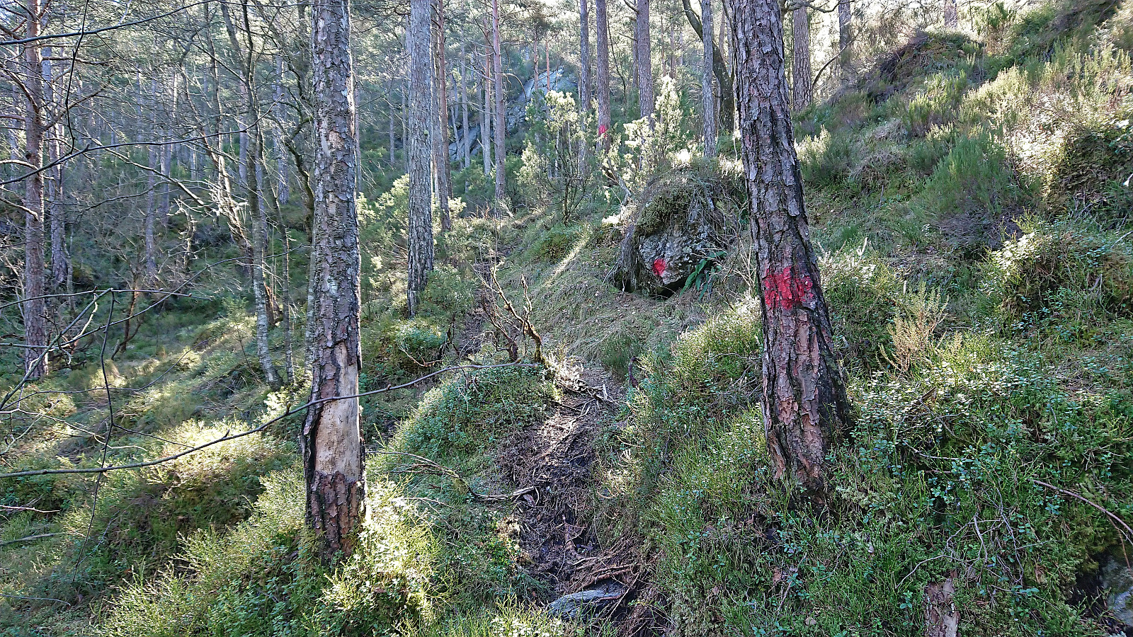
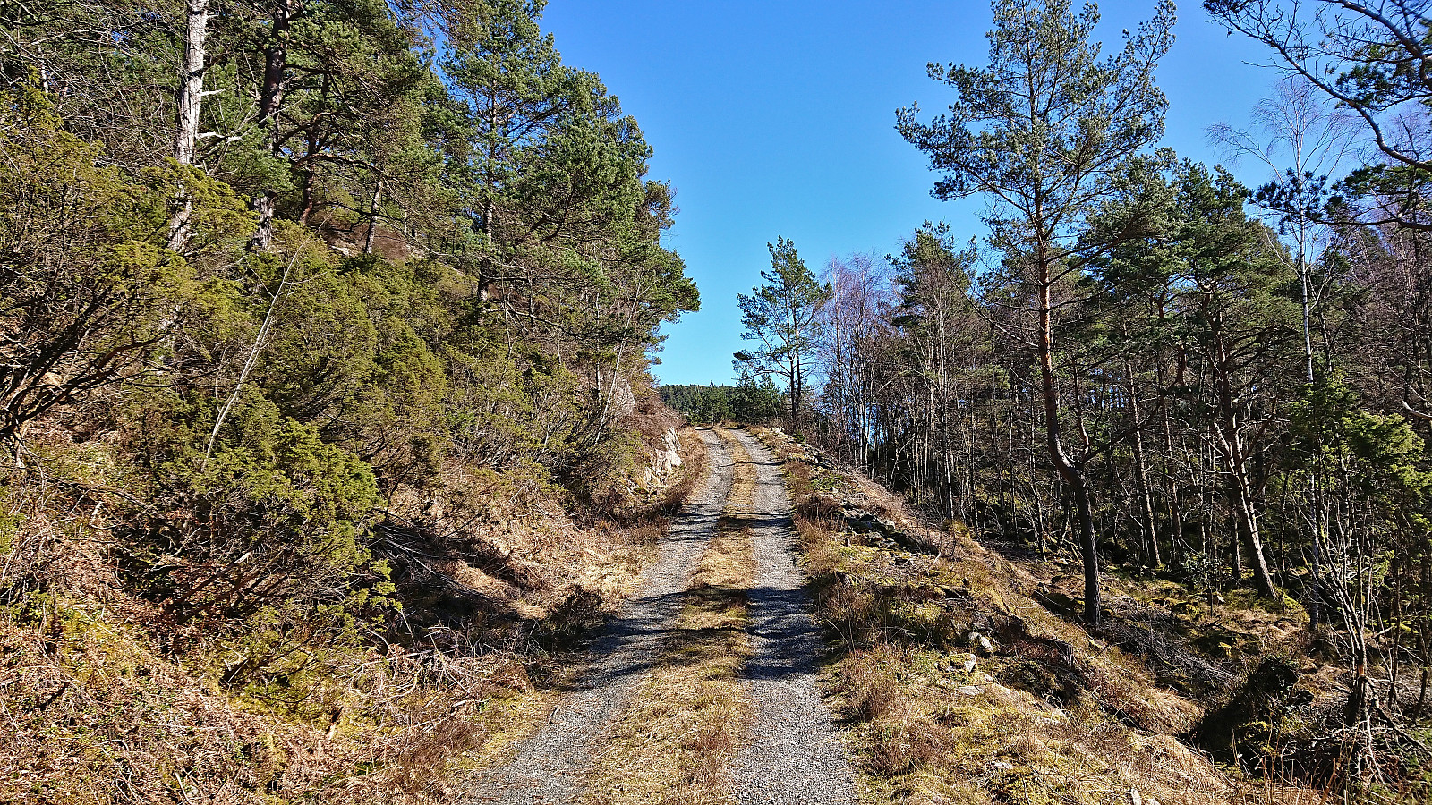
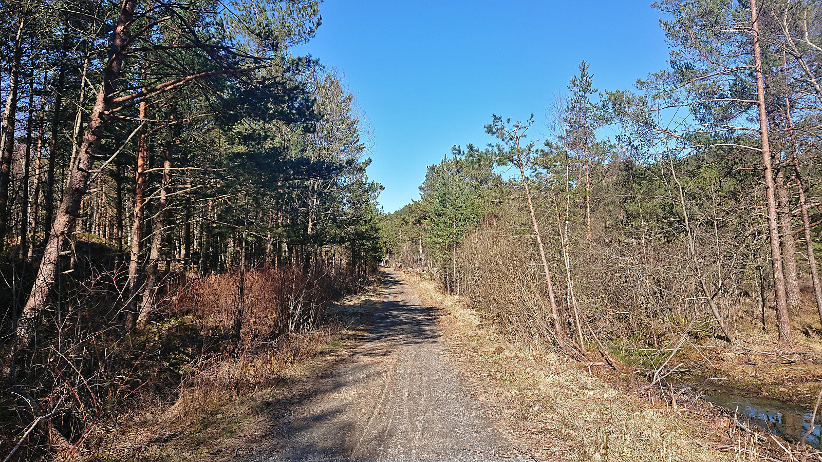
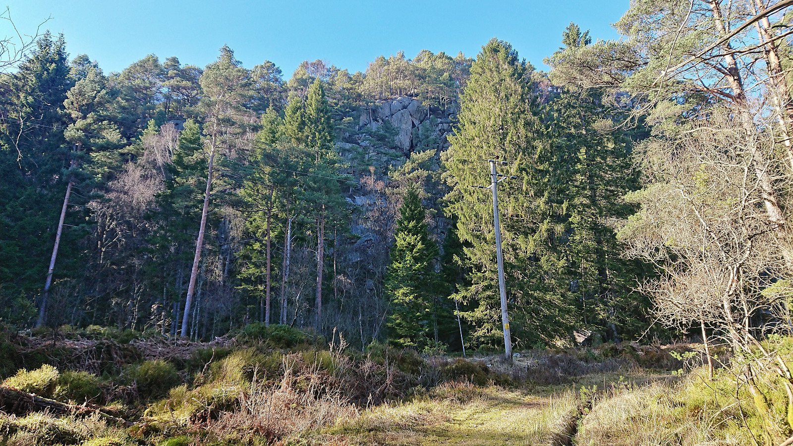
I started by taking the express bus from Bergen to Sveio and got off at Hanaleitet. This put me directly north of my first goal, namely Lierfjellet. After a short walk up the gravel road of Hanalio, I arrived at the trailhead for Lierfjellet. The trailhead itself was unmarked, i.e. no sign, but there were plenty of red painted markers to follow. Lots of wet and muddy sections early on, however this soon improved. (By following this marked trail, one also avoids the borderline trespassing via the two houses at the end of Hanalio that some other hikers seem to have used.)
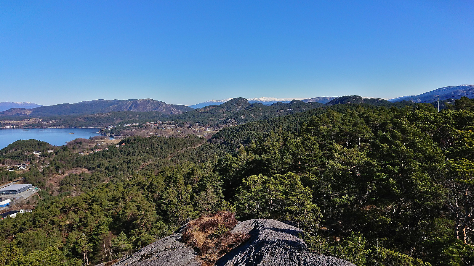
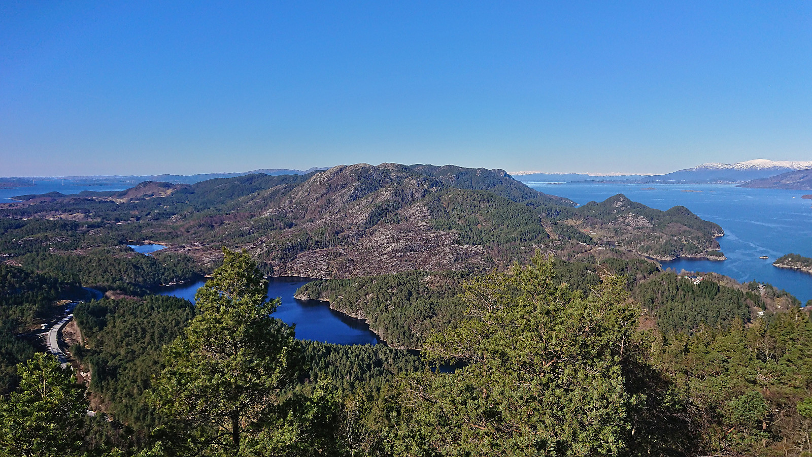
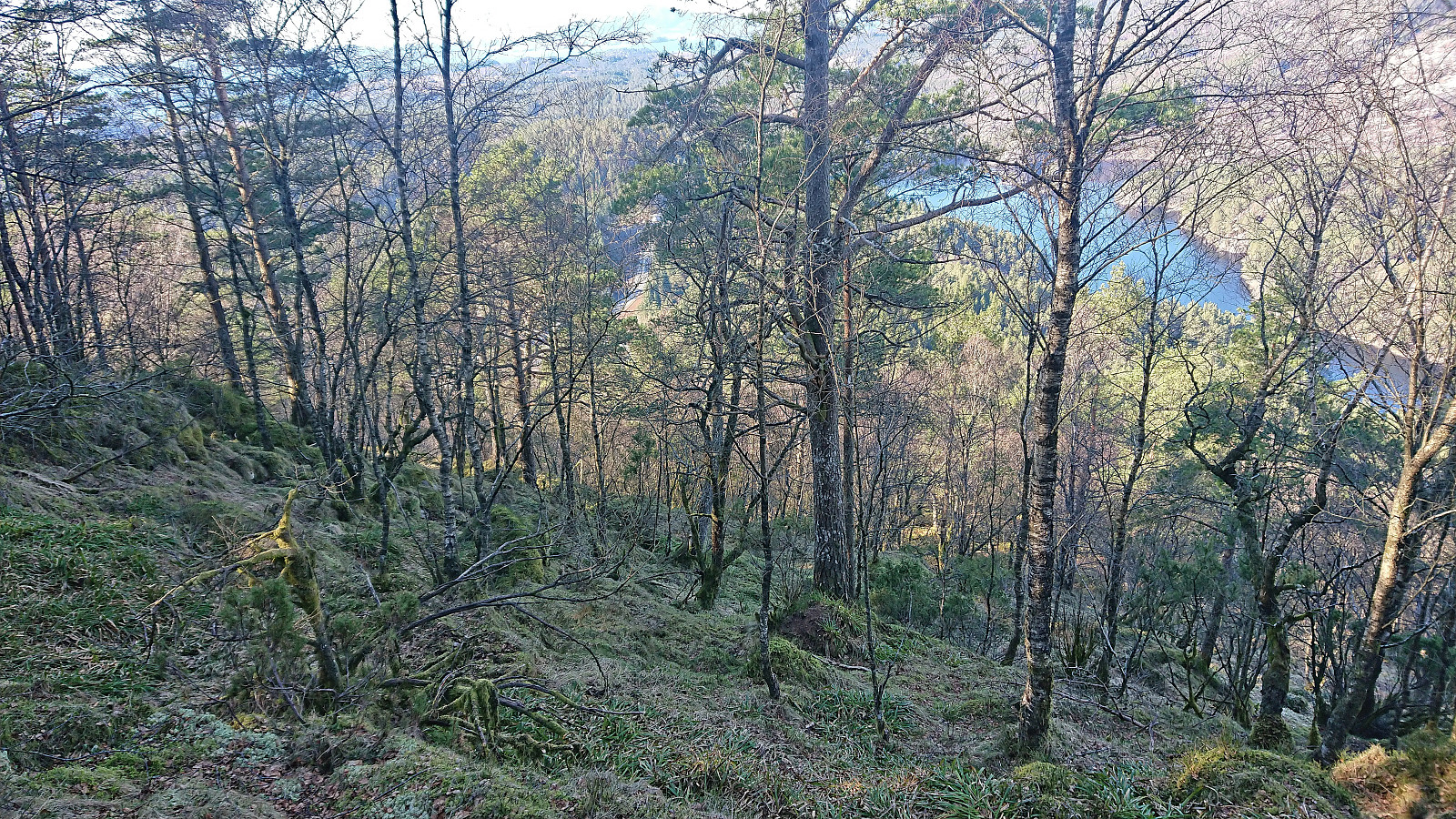
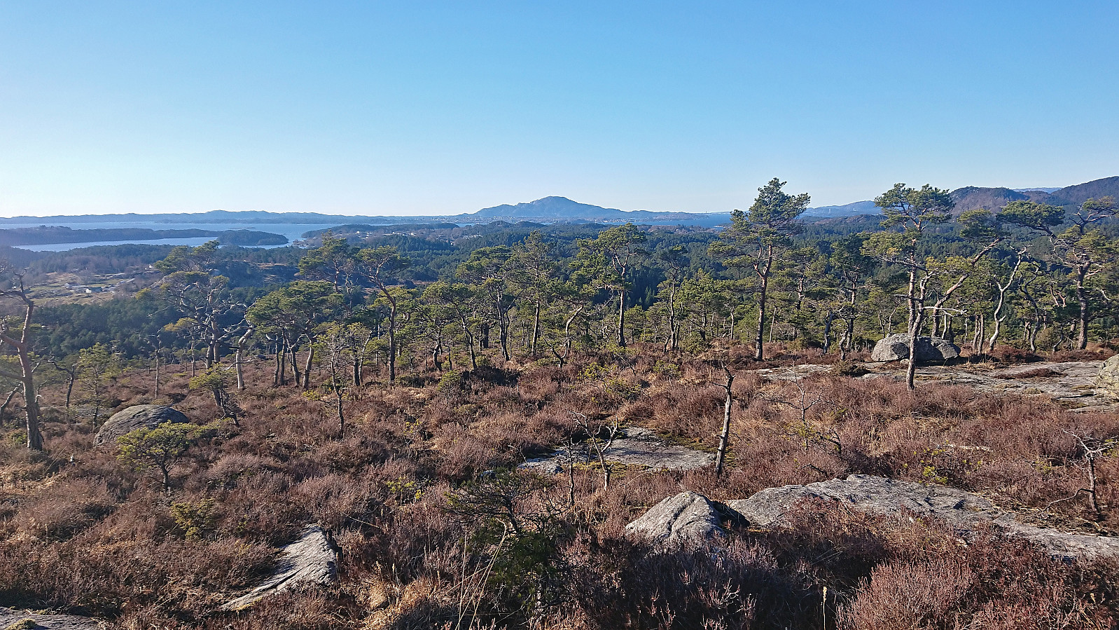
The red markers were not always the easiest to spot, although this was at least partly due to walking towards the low sun. There were also the occasional patches of ice that had to be navigated, but overall the summit was reached without any issues. Excellent views from the summit and a great location for a short break before descending along the same route. (Note that it is also possible to ascend Lierfjellet from Lier to the southeast or Førde from the northeast. However, I only learnt this when passing by an information sign later on).
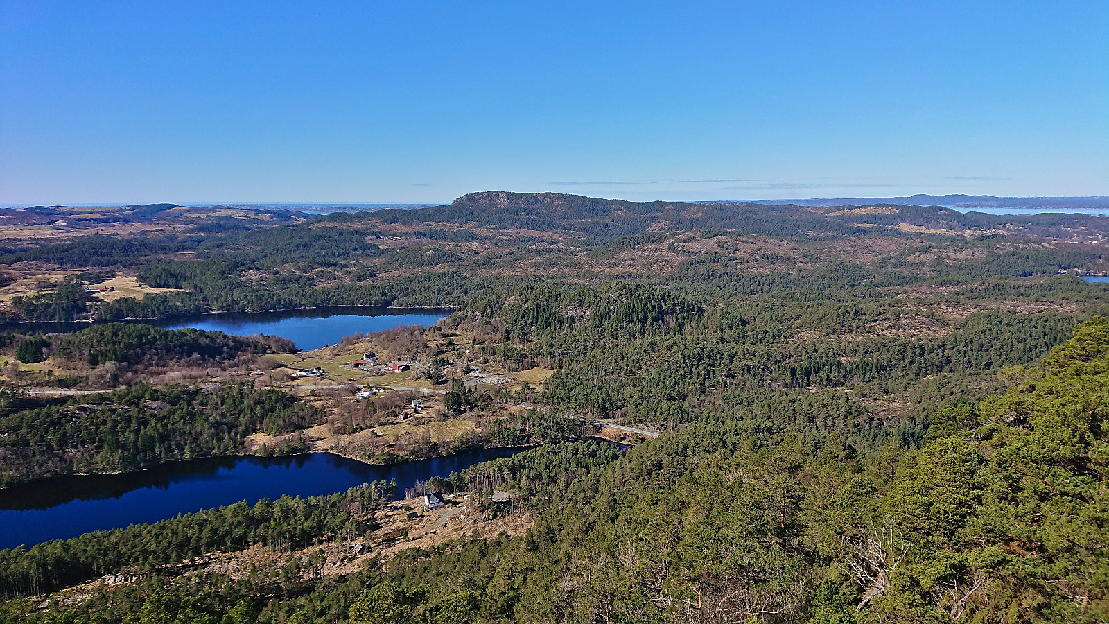
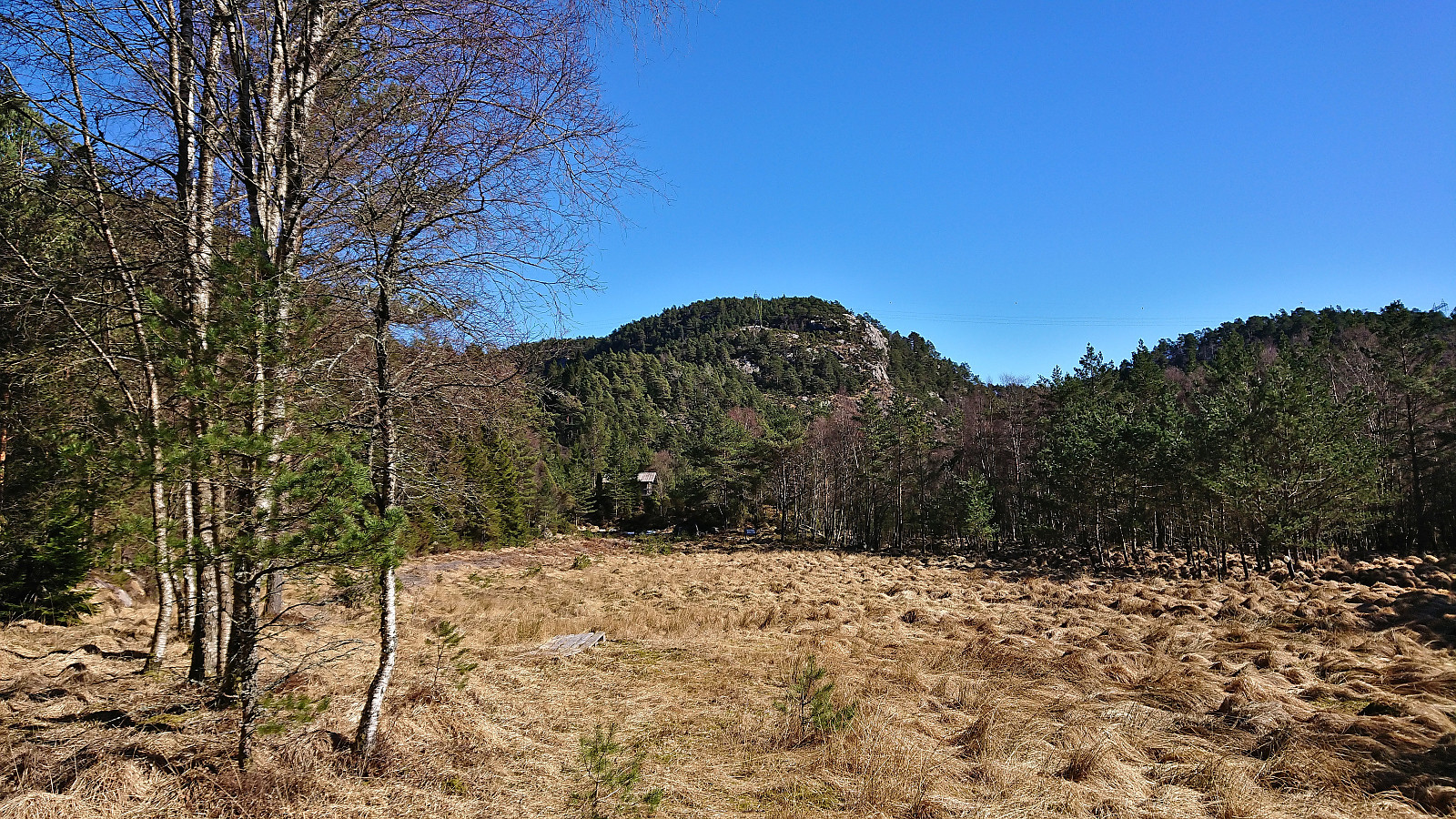
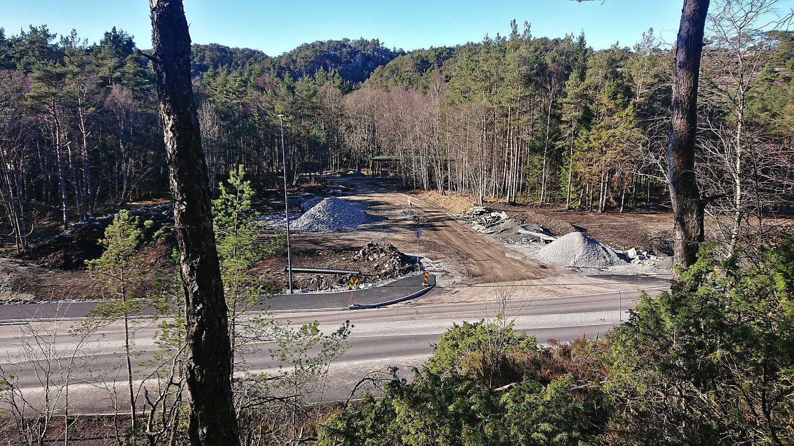
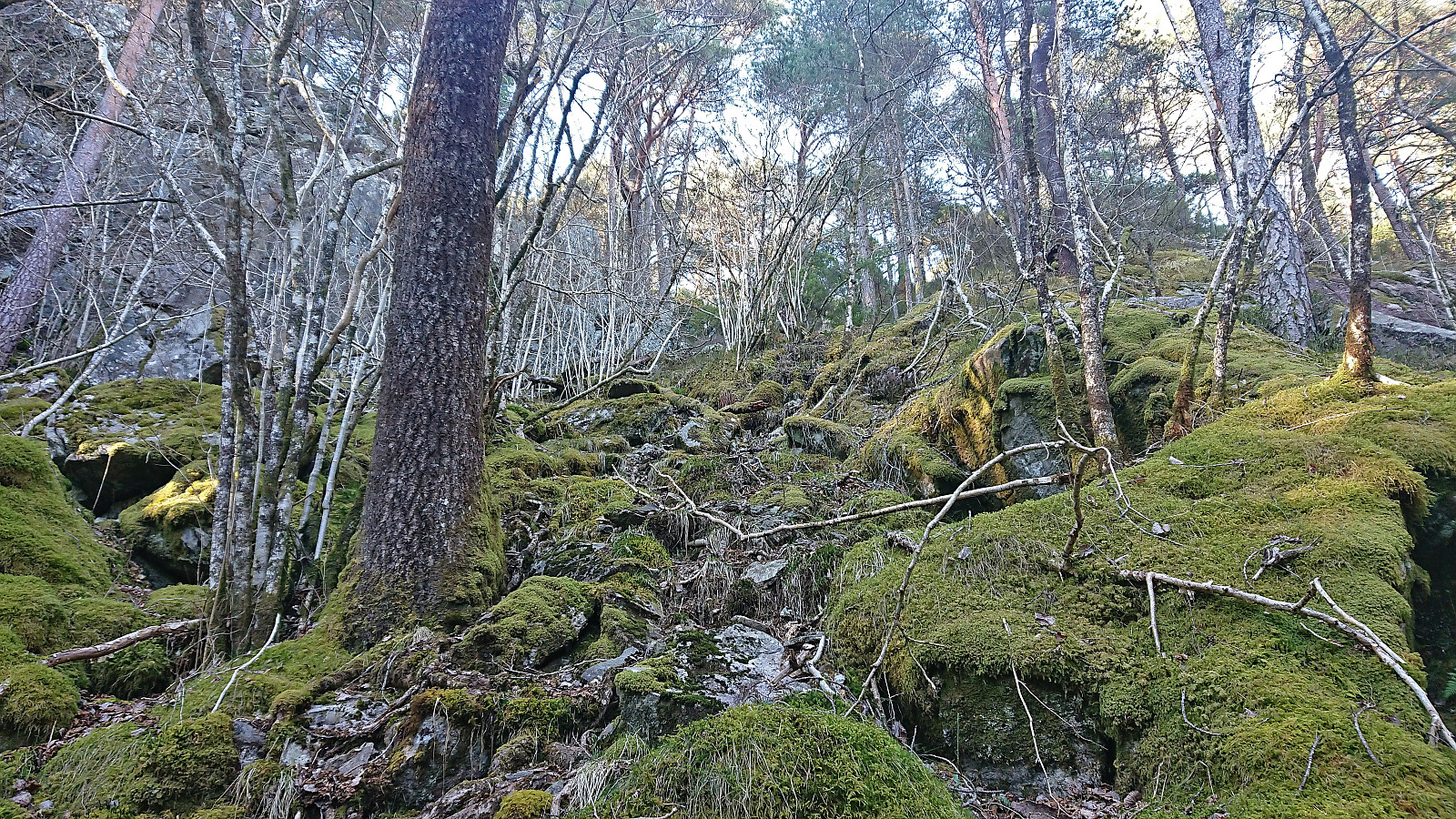
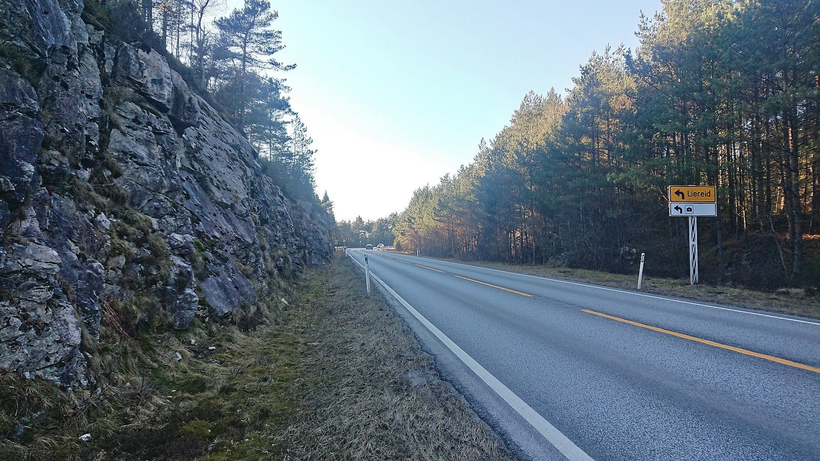
After a 1.5 km walk northeast along the main road, on a broad sidewalk, I left the main road and turned east towards Vardafjellet. I passed by the final house west of Vardafjellet and continued east on a gravel road to a small cabin. Here the road more or less ended, but after crossing a wet area I connected with an old tractor road up Espedalen. Clearly not the most frequently used road, but it did make it straightforward to ascend to the start of the ridge north of the summit, which I then proceeded to follow off-trail towards the summit, leaving less than 100 vertical meters and less than 300 meters walking distances.
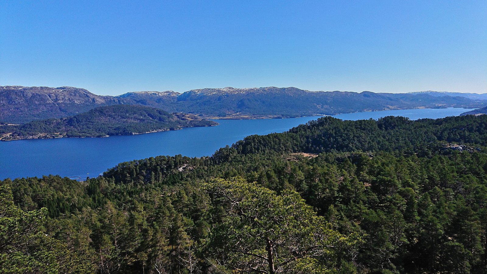
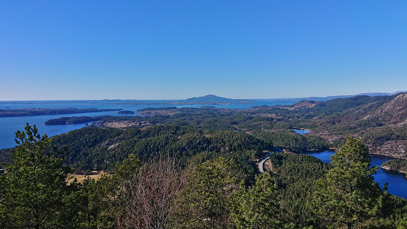
There were lots of deer tracks that could be followed and while there were some steeper sections to avoid, reaching the summit did not provide any real challenges. The only exception being that I almost mistook the smaller hill 75 meters north of the real summit as the summit. But thankfully, the mistake was quickly corrected, and I continued to the real summit. Great views from the summit, especially east across Ålfjorden. After a short break, I returned along more or less the same route.
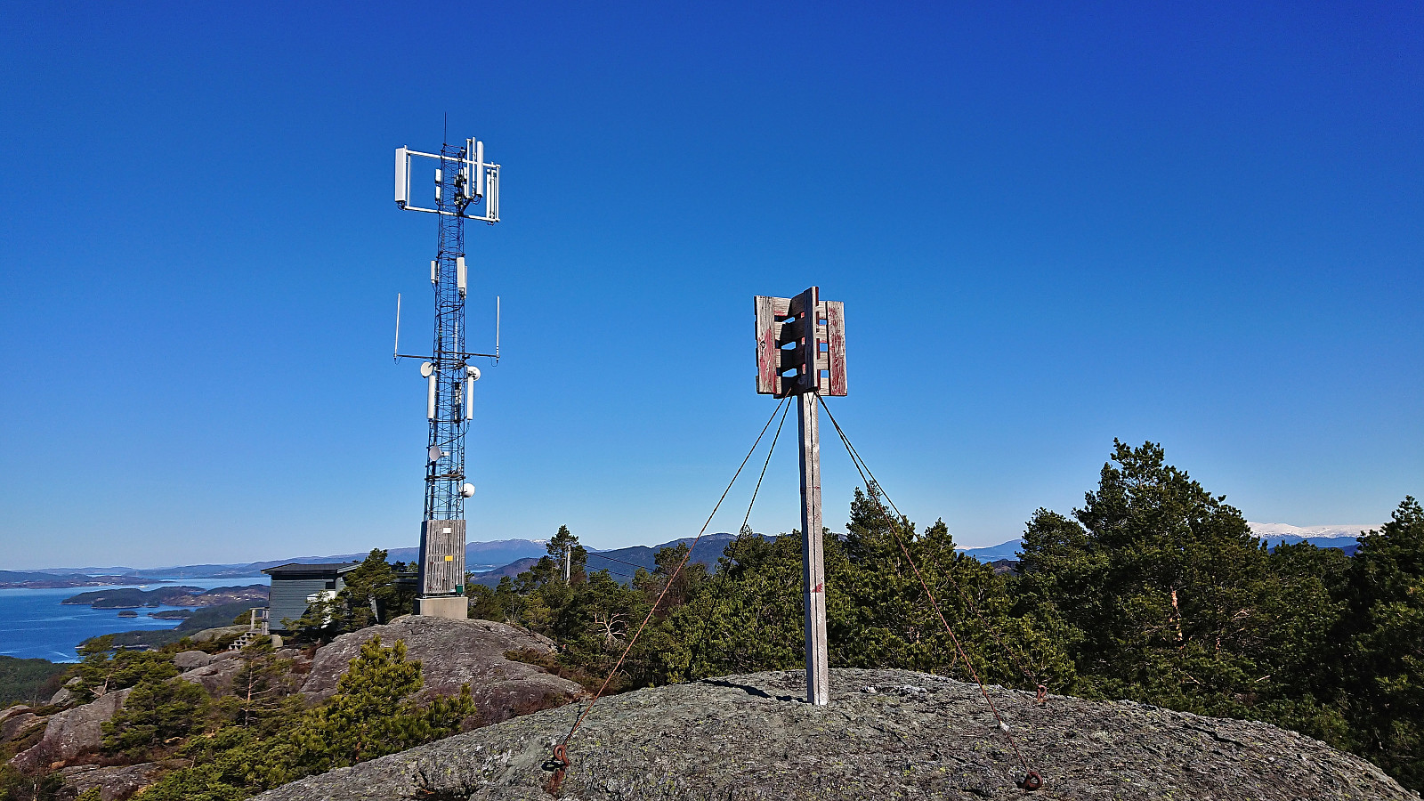
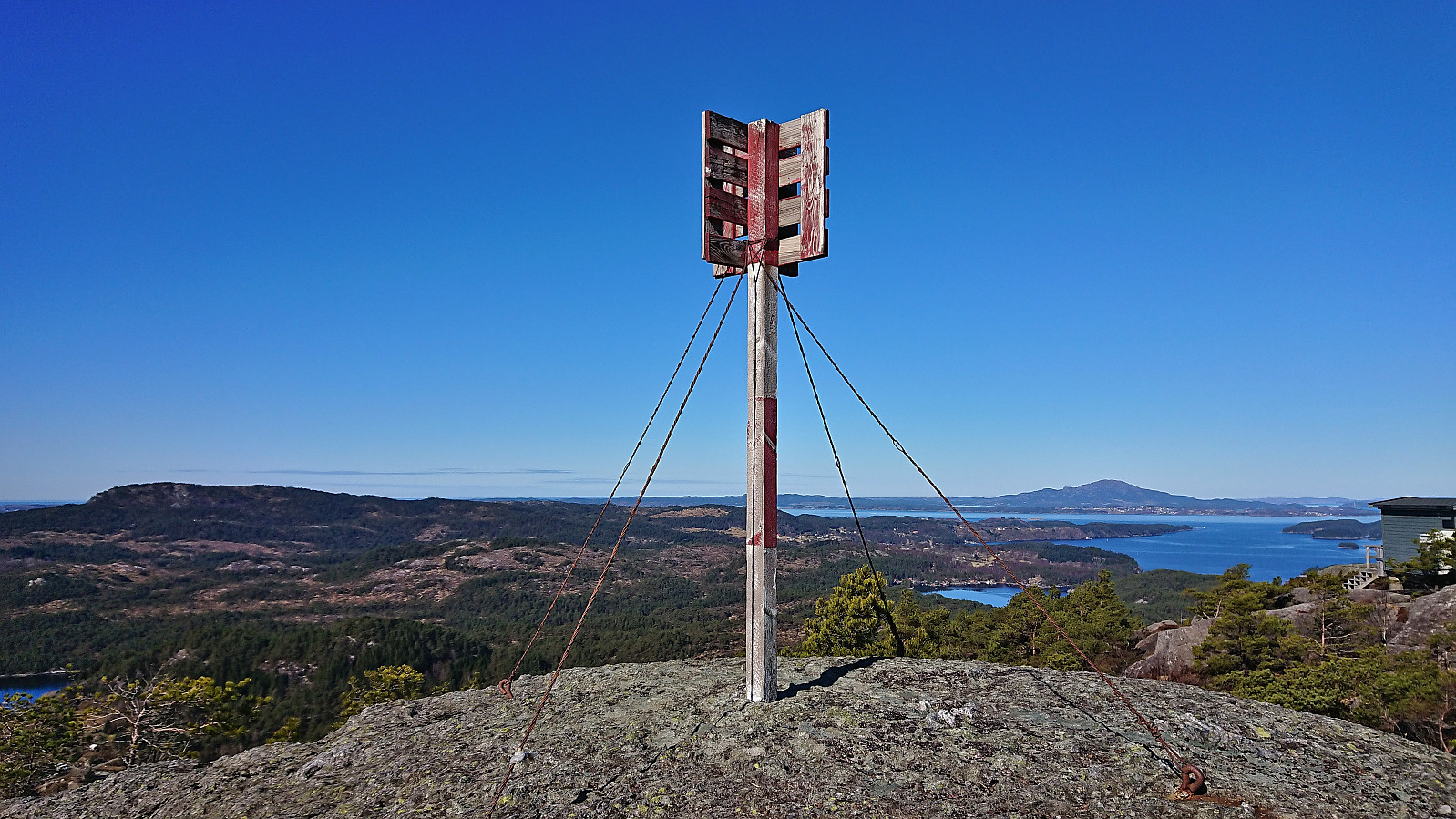
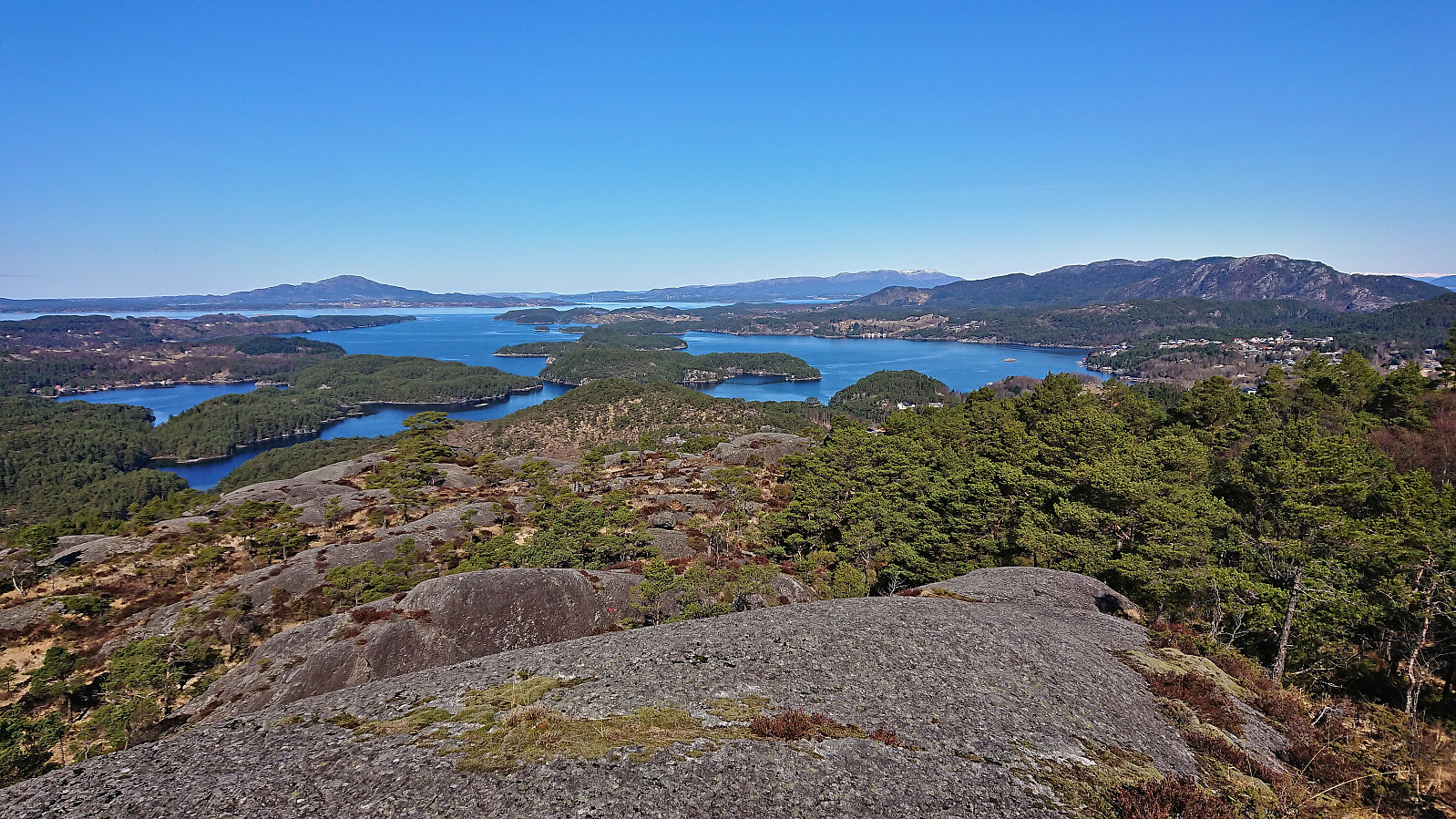
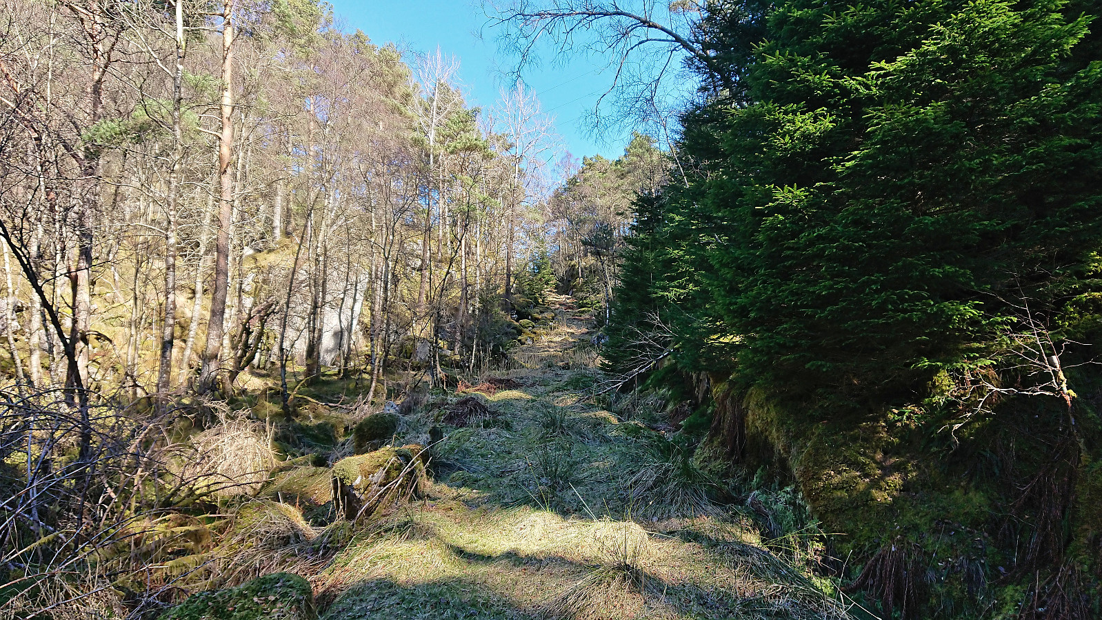
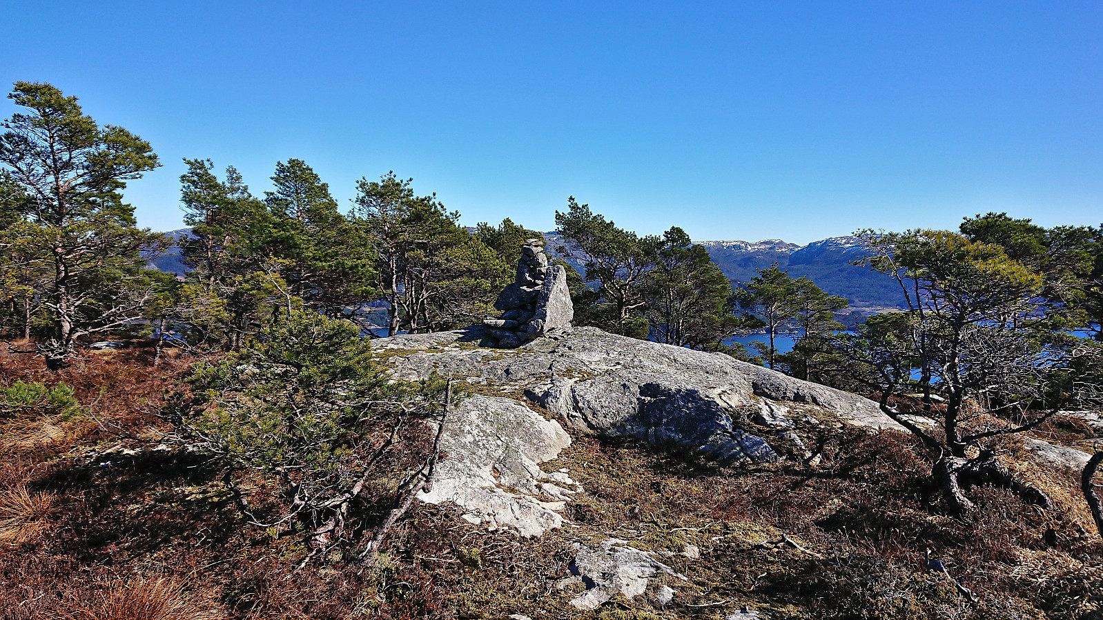
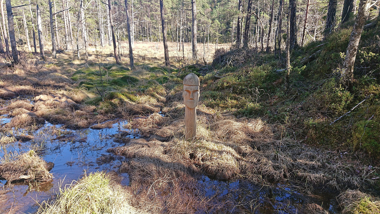
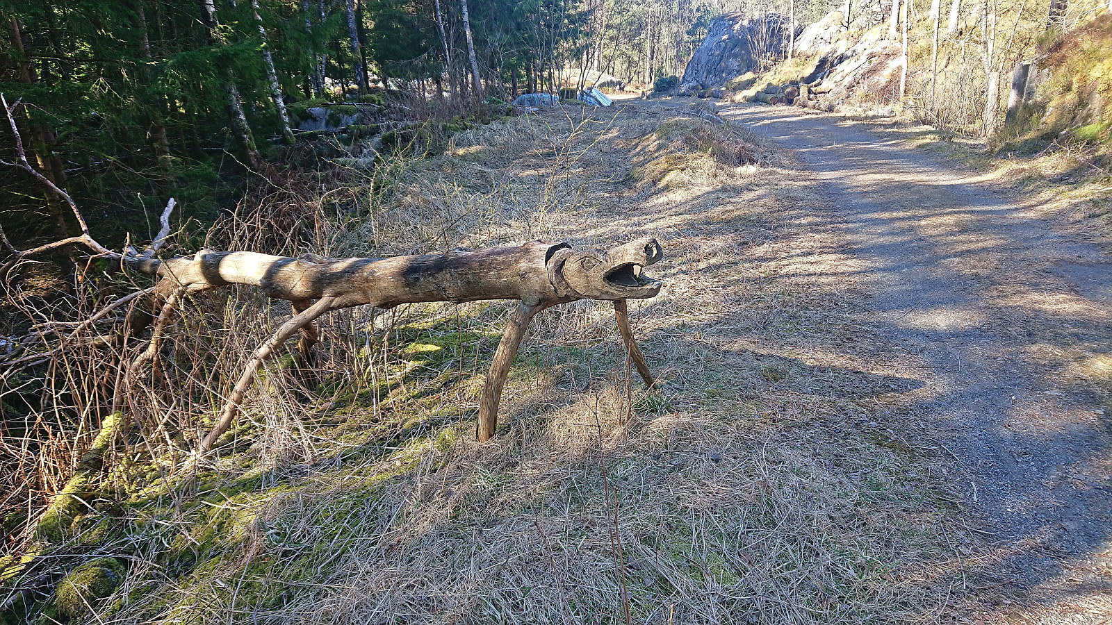
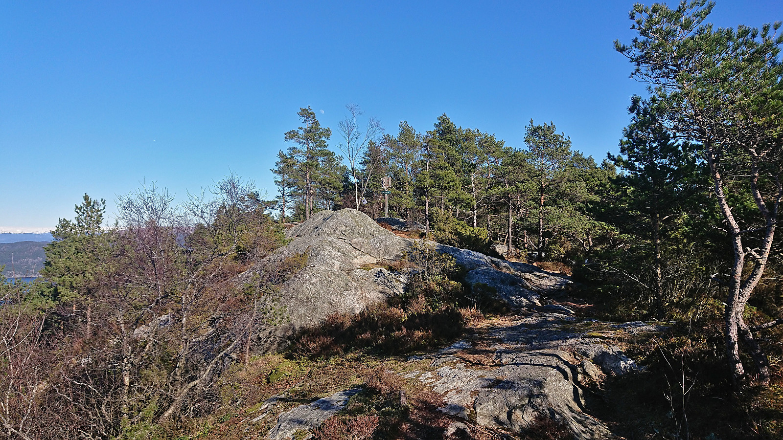
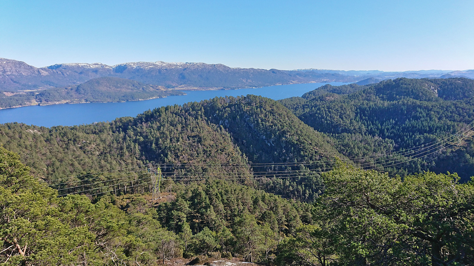
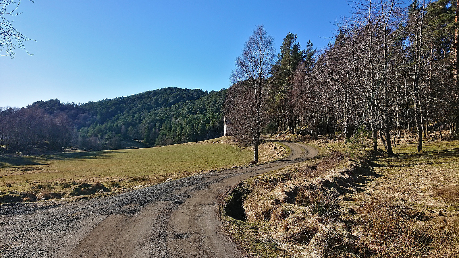
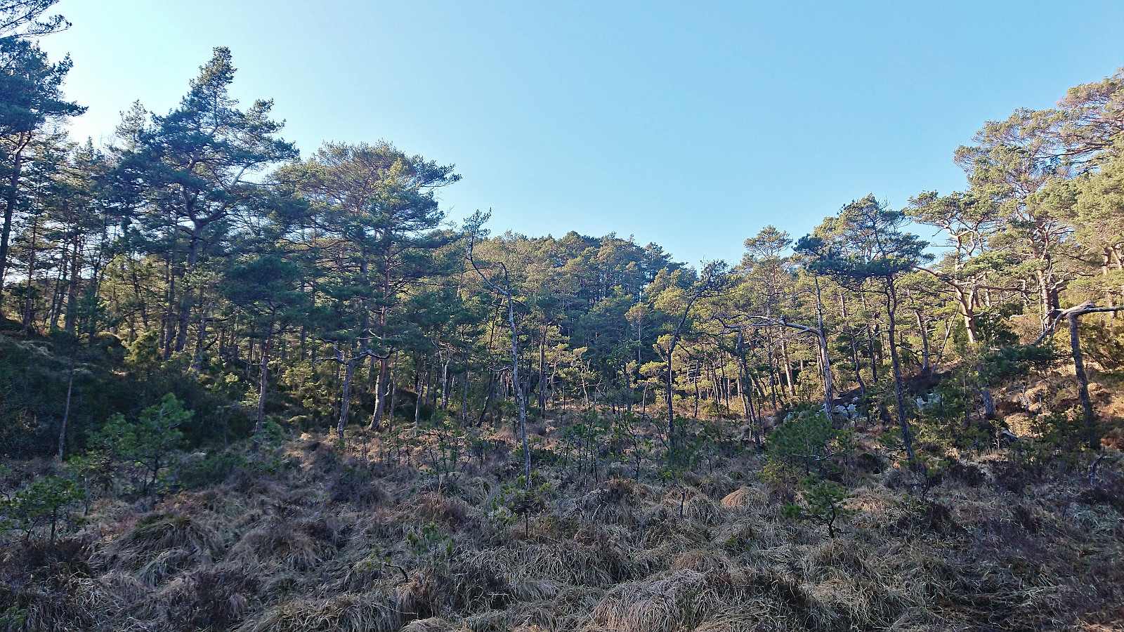
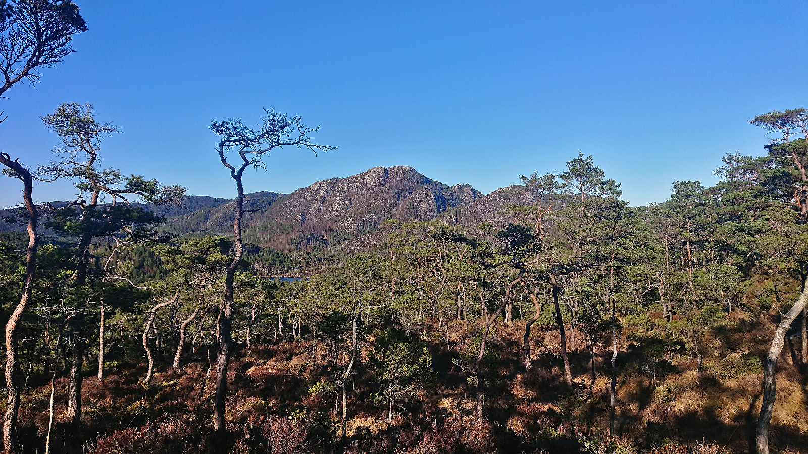
I continued north to the marked trailhead for Dreng and passed by the many interesting wooden sculptures before starting the real ascent to the summit. The trail pretty much ended at the trig marker. Here there were excellent views to the north and clearly where most people turn back. I of course continued to the real summit on another small hill around 70 meters to the south. The map here indicates a trail but it was weak at best and I ended up simply making my own way. Excellent views here as well, predominantly to the south.
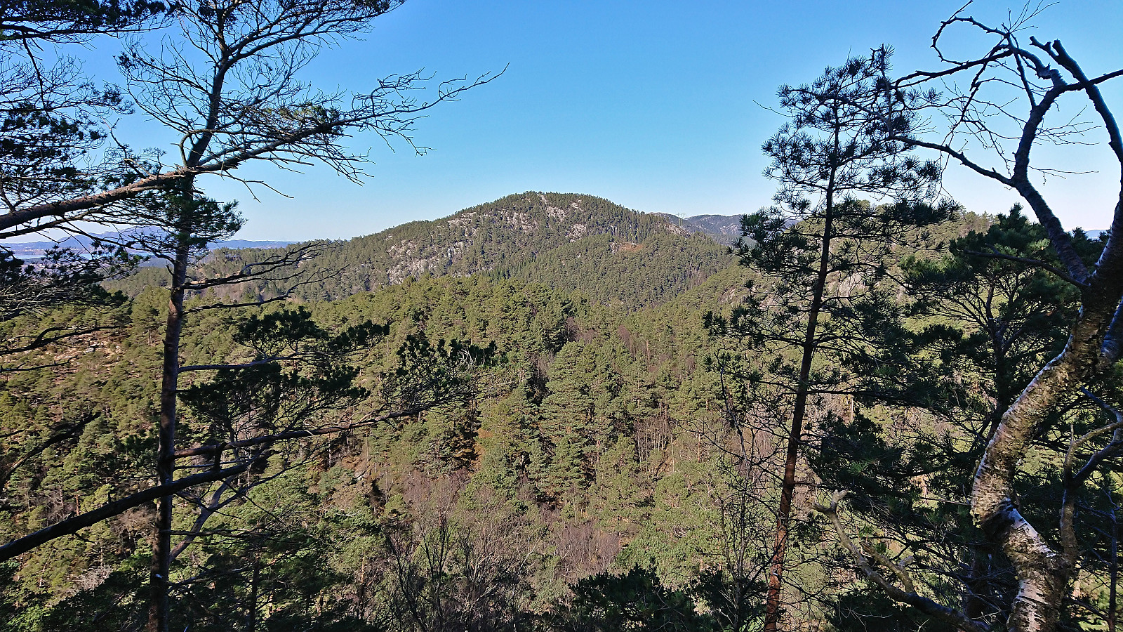
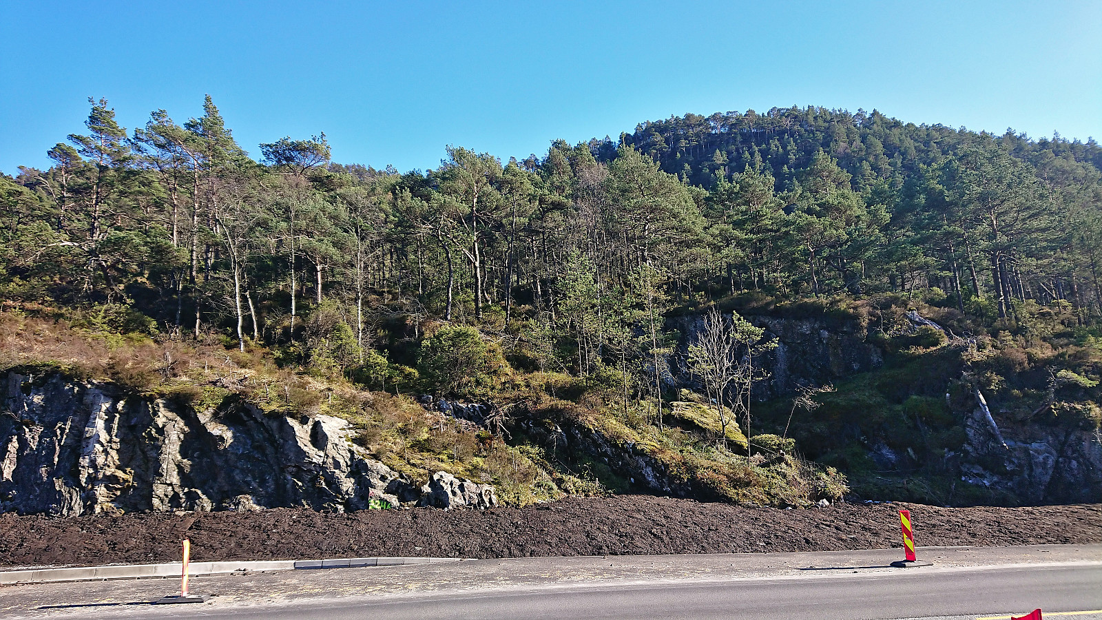
The last summit on my list for the day was Austvikfjellet, which was now less than 1.5 km to the northwest. However, as far as I could tell there were no trails in this direction. I could of course return west and follow the main road northeast from there, but walking along the main road with high speed traffic and no sidewalk is not the most enjoyable. Instead, I therefore made my own off-trail descent directly northeast to Tittelsnesvegen, and except for some tricky navigation early on, mainly due to fallen trees, this route did not provide any issues and I soon arrived at the main road.
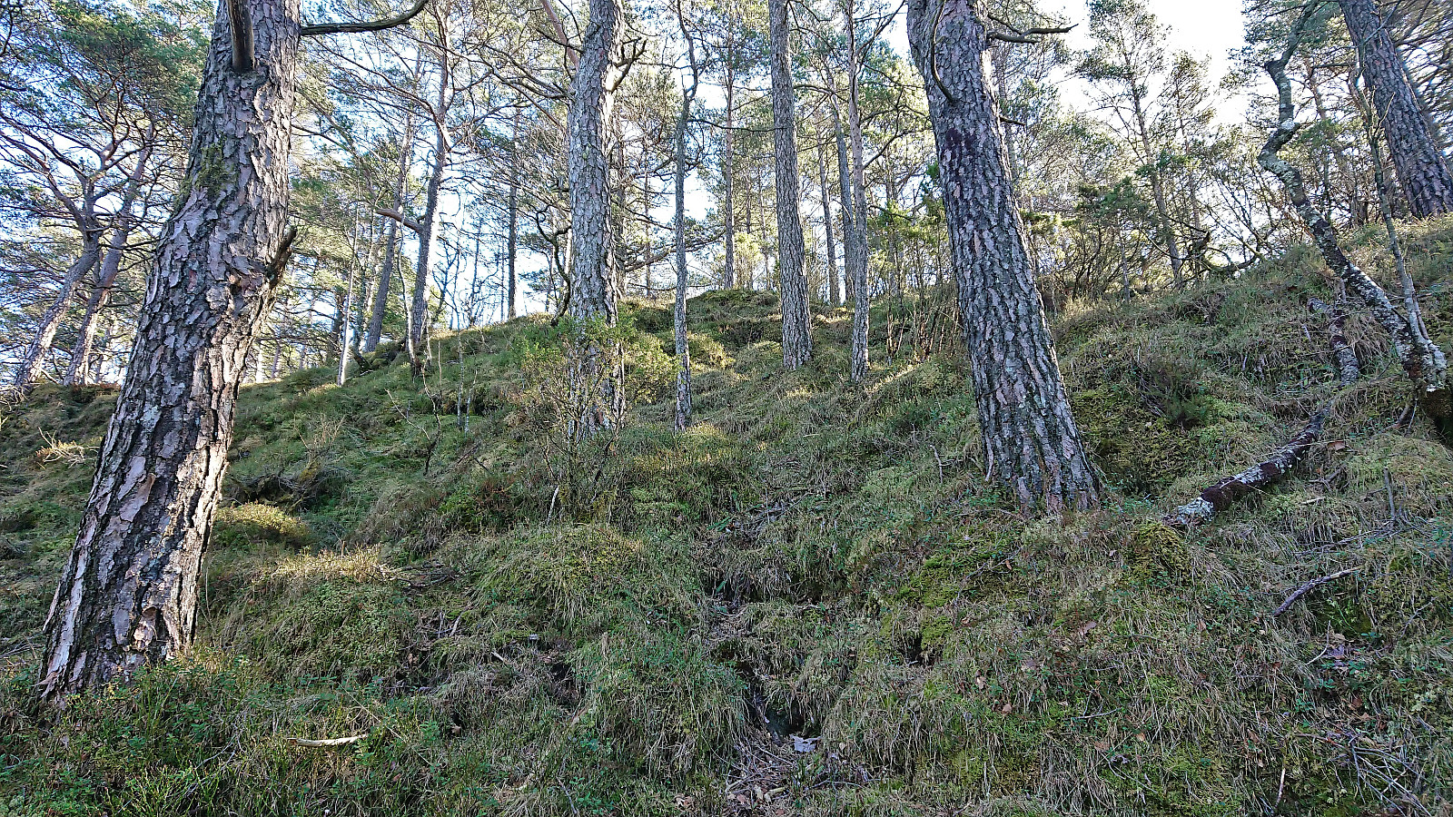
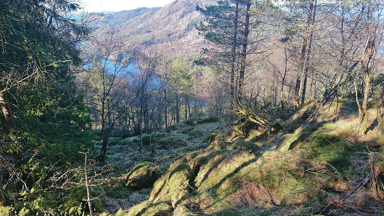
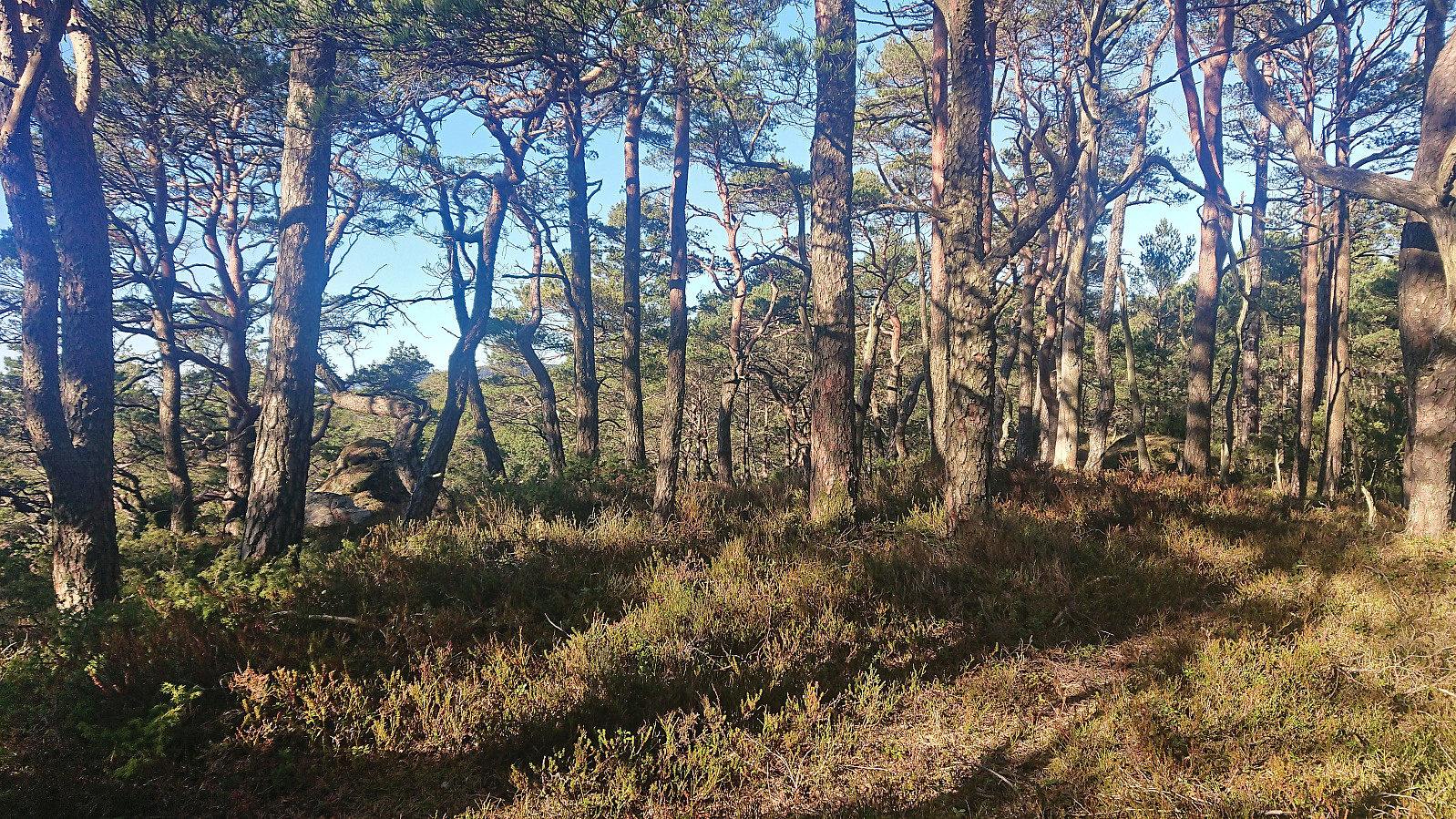
After crossing the main road I continued northwest along Austvikvegen and then north along a tractor road to arrive at the steep southeast face of Austvikfjellet. From the tractor road it looked very steep indeed, but through searching I managed to find a much less steep area that made it easy to get up to the plateau southeast of the summit with just a tiny bit of scrambling. From there it was straightforward to reach the summit.
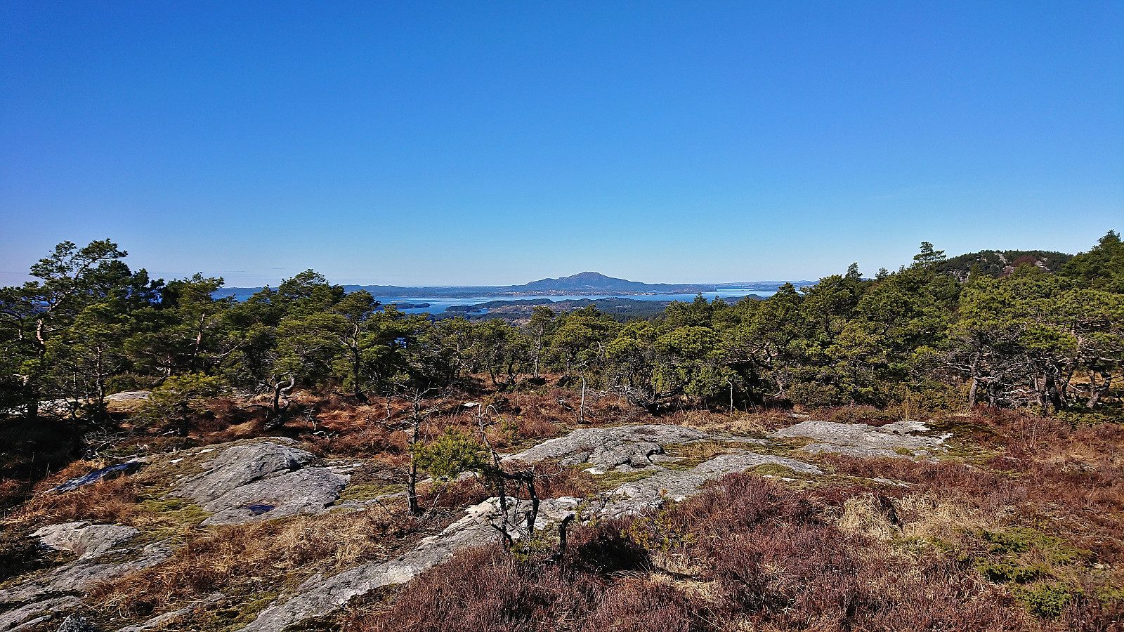
Rather limited views from the summit due to all of the trees and I did not stay long before continuing north to the main road and the bus stop at "Liereid sør terminal". Here the terrain was more open and provided some nice views, for example towards Hopsfjellet, and the bus stop was reached without any issues.
In summary, a nice hike in Sveio to four summits with overall excellent views (except for Austvikfjellet which is clearly more of an acquired taste).

| Start date | 01.04.2023 12:05 (UTC+01:00 DST) |
| End date | 01.04.2023 17:48 (UTC+01:00 DST) |
| Total Time | 5h 42min |
| Moving Time | 4h 42min |
| Stopped Time | 1h 00min |
| Overall Average | 2.4km/h |
| Moving Average | 2.9km/h |
| Distance | 13.8km |
| Vertical meters | 812m |


User comments