
Blåvasshorgi, Kringdalsnipa and Hatlekinni (26.03.2023)

Skrevet av hbar (Harald Barsnes)

| Startsted | Rørgostølen p-plass (486moh) |
|---|---|
| Sluttsted | Rørgostølen p-plass (486moh) |
| Turtype | Fjellskitur |
| Turlengde | 6t 10min |
| Distanse | 19,6km |
| Høydemeter | 1390m |
| GPS |
|
| Bestigninger | Blåvasshorgi (1133moh) | 26.03.2023 |
|---|---|---|
| Hatlekinni (901moh) | 26.03.2023 | |
| Kringdalsnipa (1048moh) | 26.03.2023 | |
| Andre besøkte PBE'er | Horvei-Geilen bomveg (69moh) | 26.03.2023 |
| Rørgostølen (570moh) | 26.03.2023 | |
| Rørgostølen p-plass (486moh) | 26.03.2023 |
Blåvasshorgi, Kringdalsnipa and Hatlekinni
I had initially only planed to go skiing on the Saturday, but when Fjellsamleren (Endre Myrdal Olsen) texted me and asked if I wanted to go skiing on Sunday as well, it only required a quick look at the excellent weather forecast to change my mind. We decided on having a go at the toll road up to Geilane as this should give us easy access to both Blåvasshorgi and Kringdalsnipa, with an added bonus of Hatlekinni for Endre (which I had already visited once before).
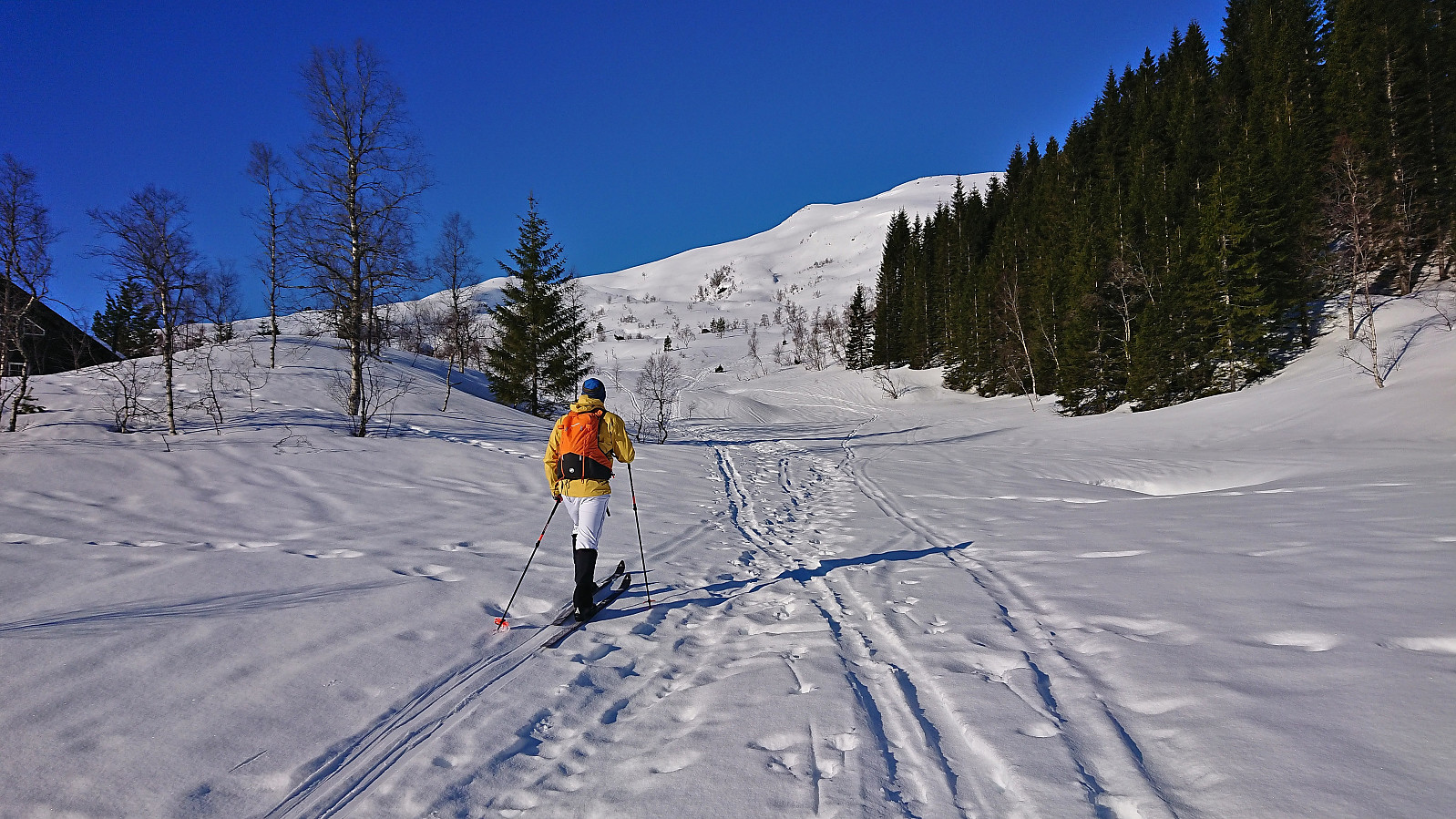
After paying the 50 kr toll via Vipps at Horvei/Horveid, we followed the steep gravel road to the upper parking lot at Rørgostølen. As expected this parking lot was mainly a private parking lot but there were a couple of guest spots as well.
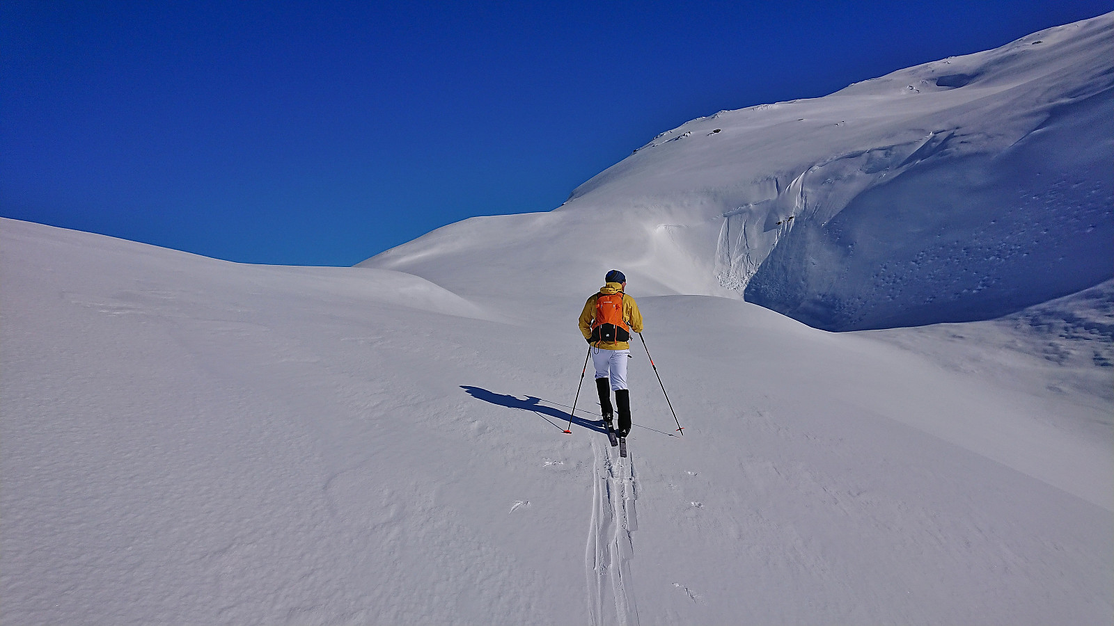
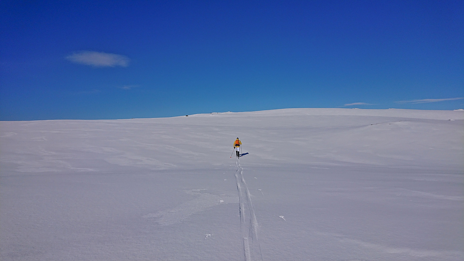
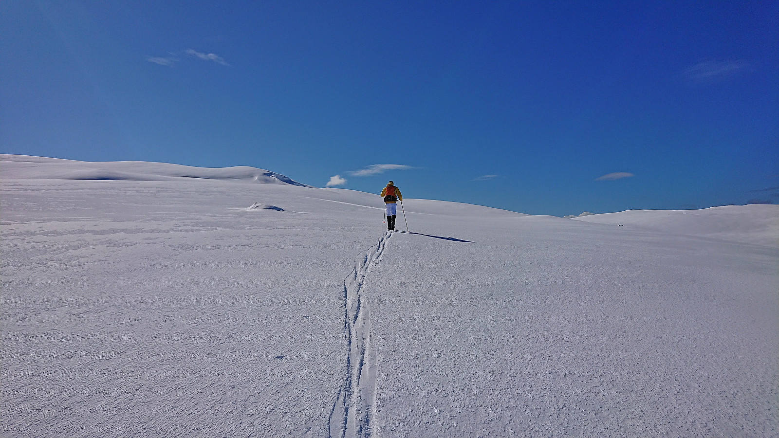
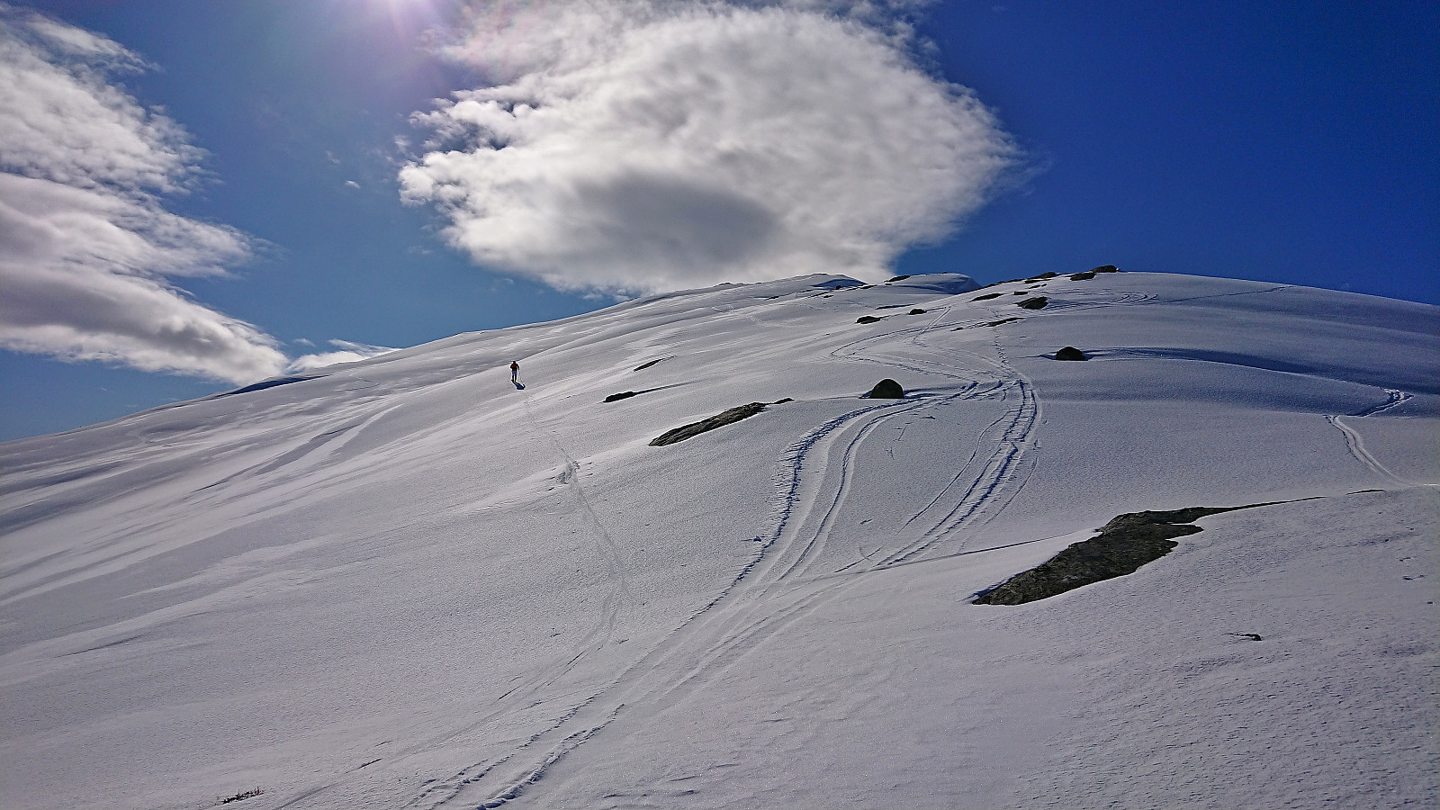
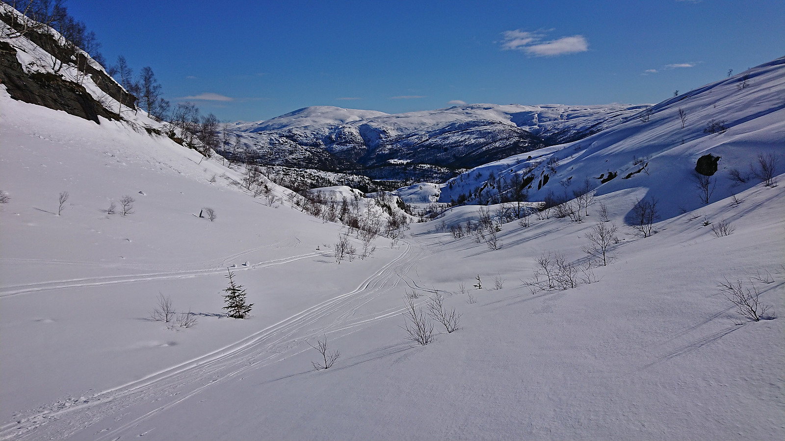
We quickly put on the climbing skins and could then start skiing directly from the car. The snow was quite hard and icy at the start but as we got higher up this greatly improved and from there on we had near perfect snow conditions for the rest of the trip. Very different from yesterday's conditions north of Oppheimsvatnet.
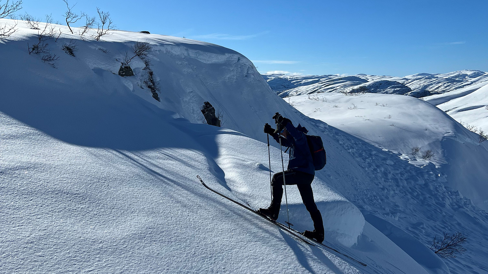
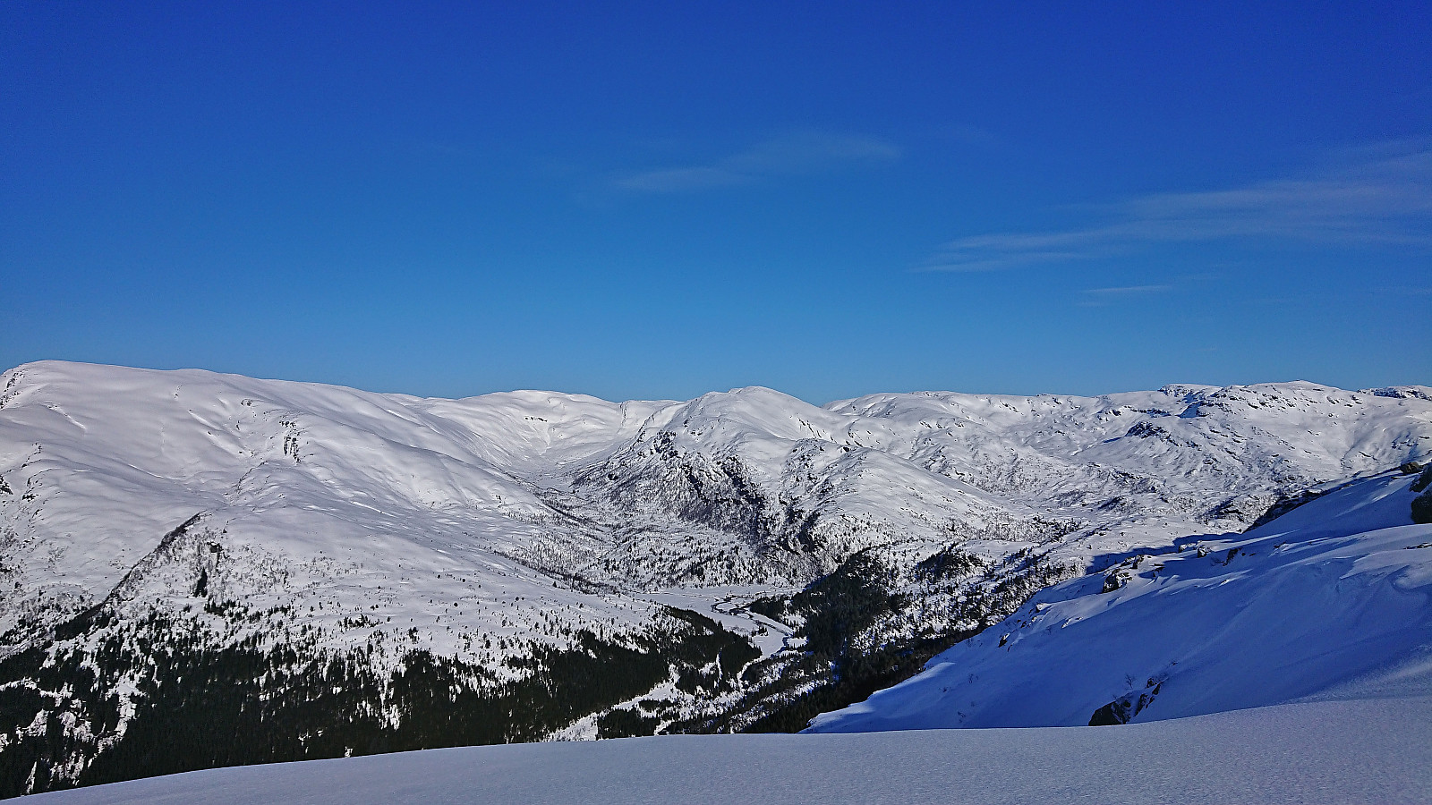
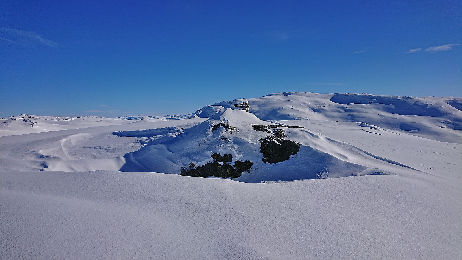
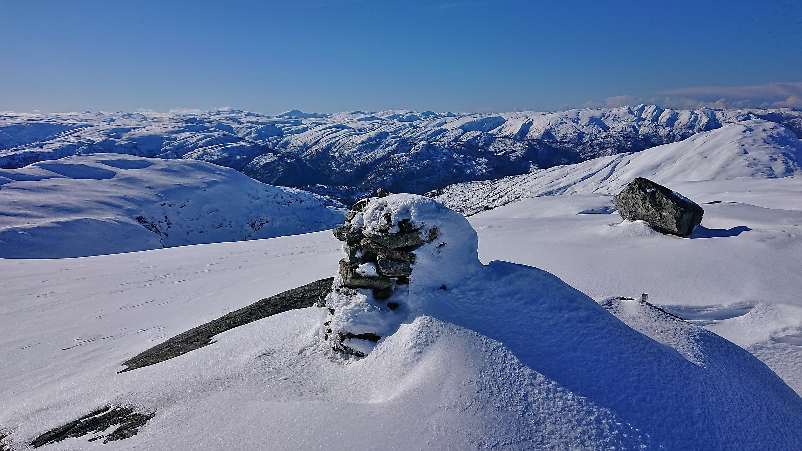
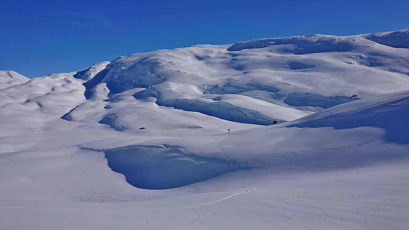
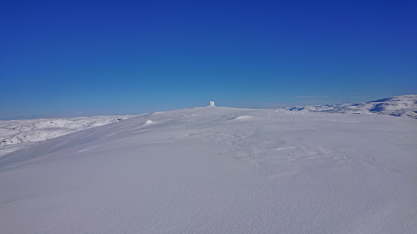
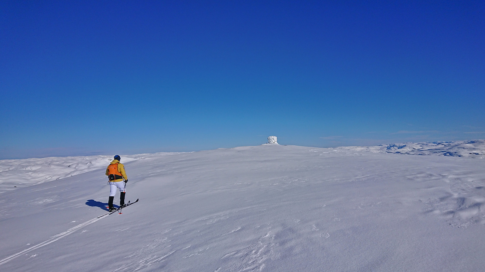
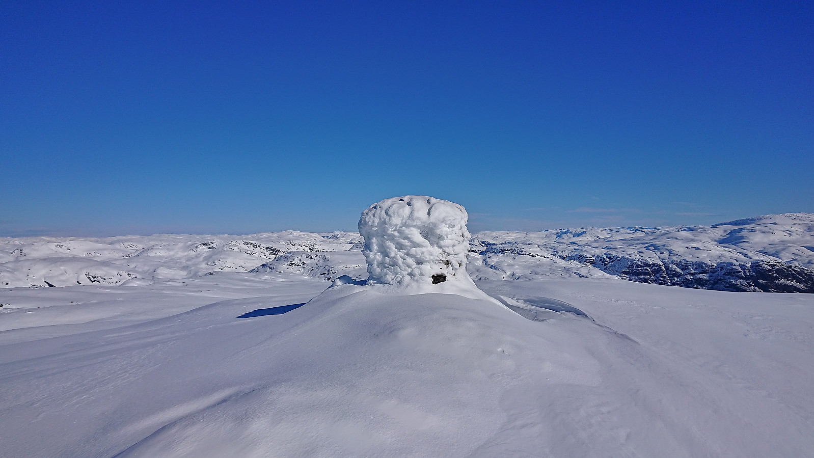
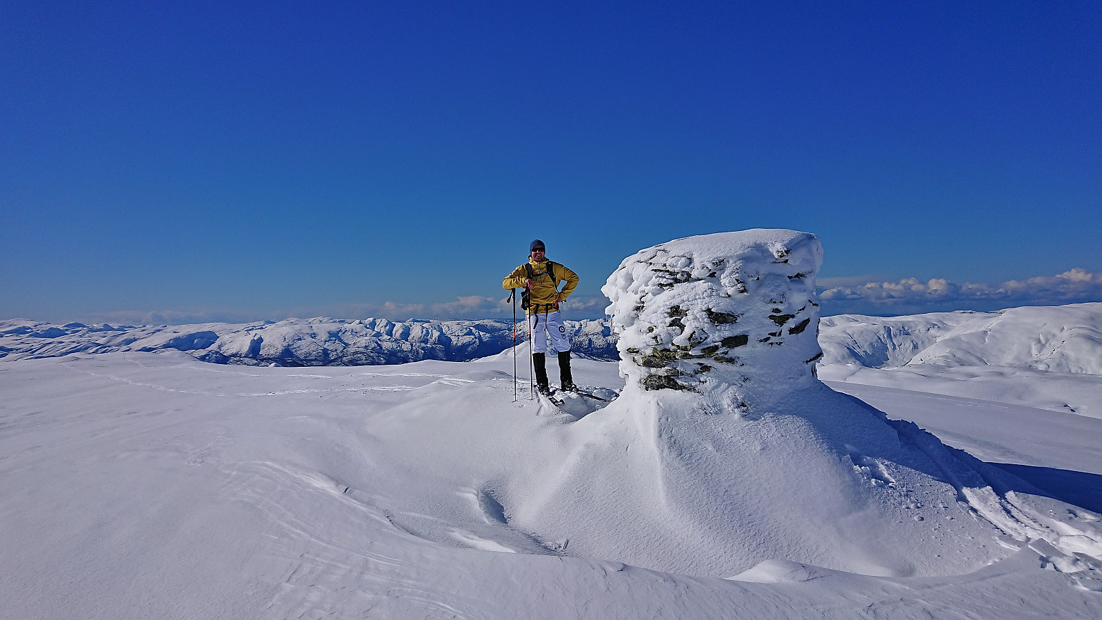
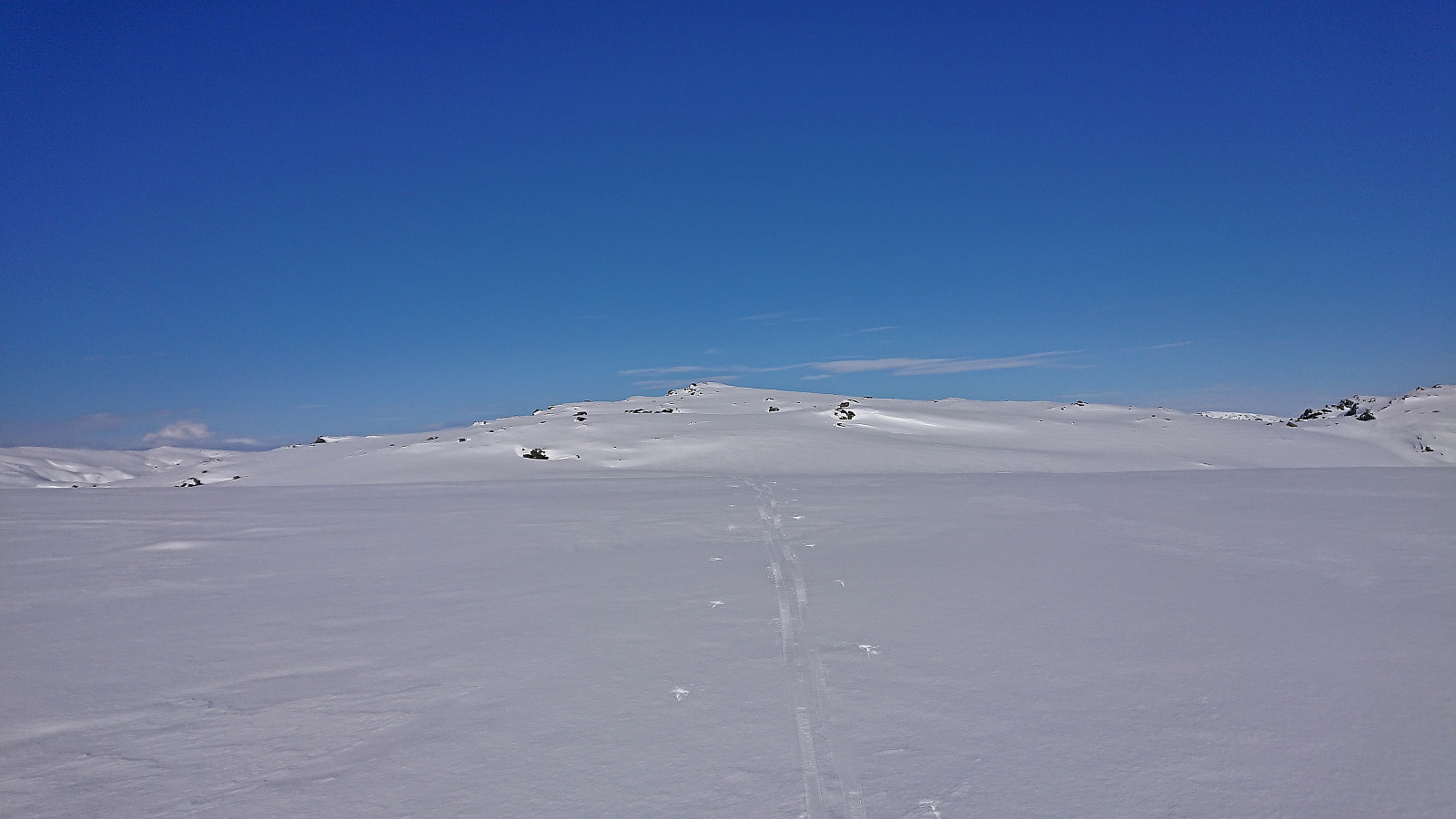
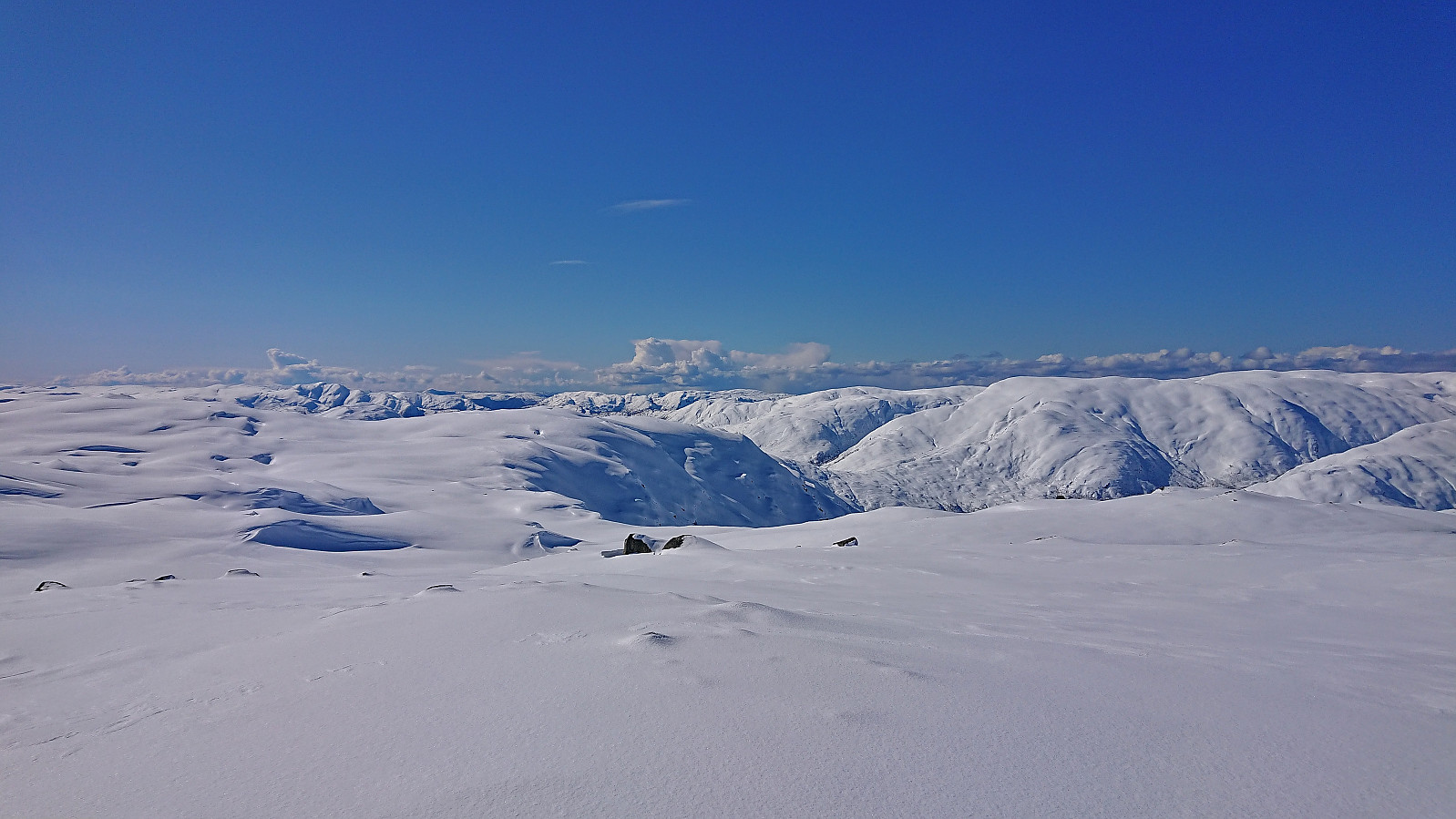
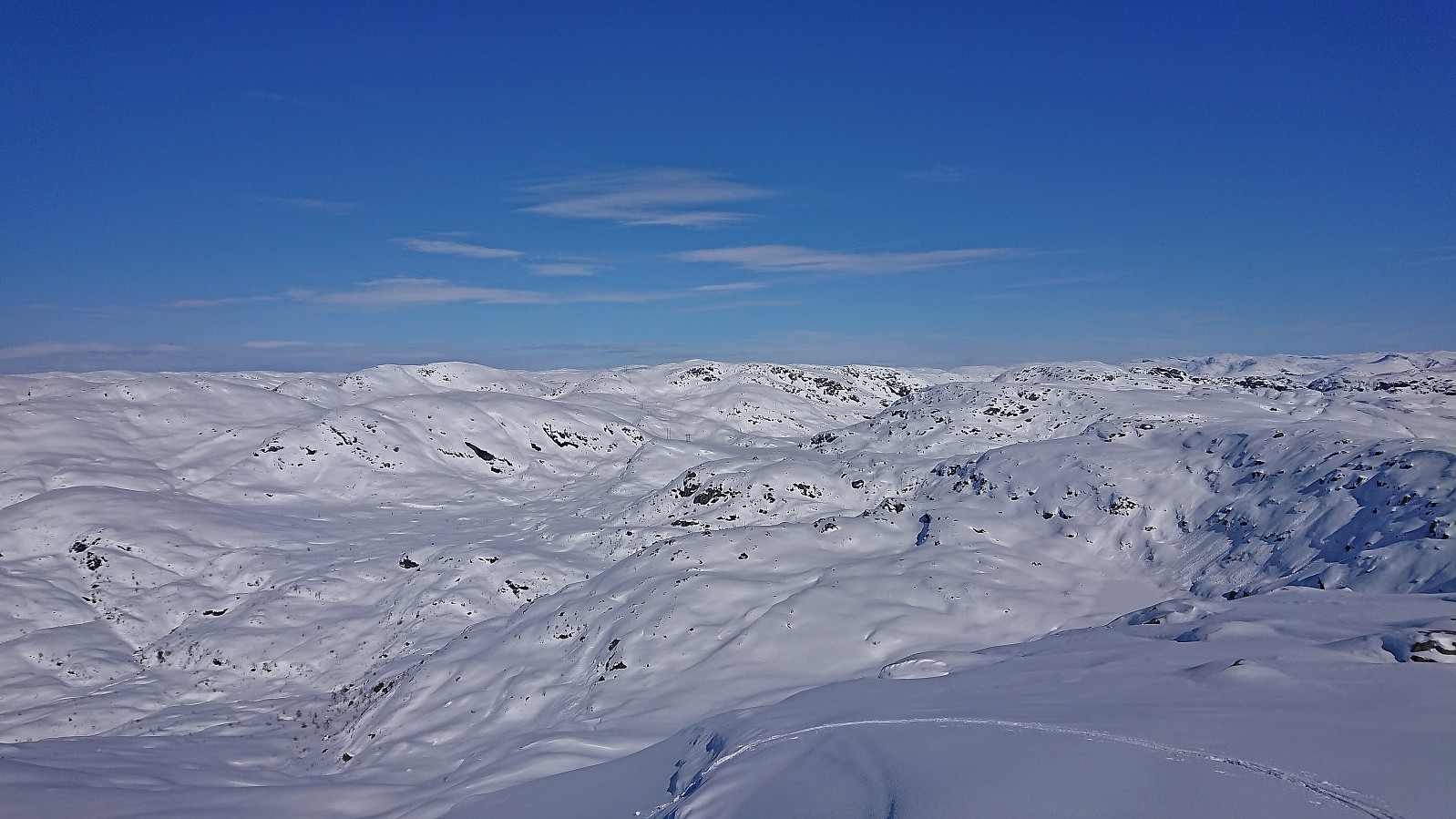
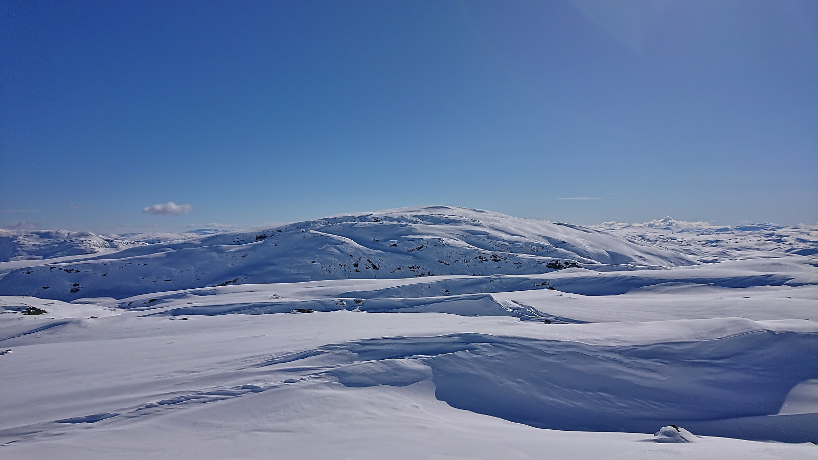
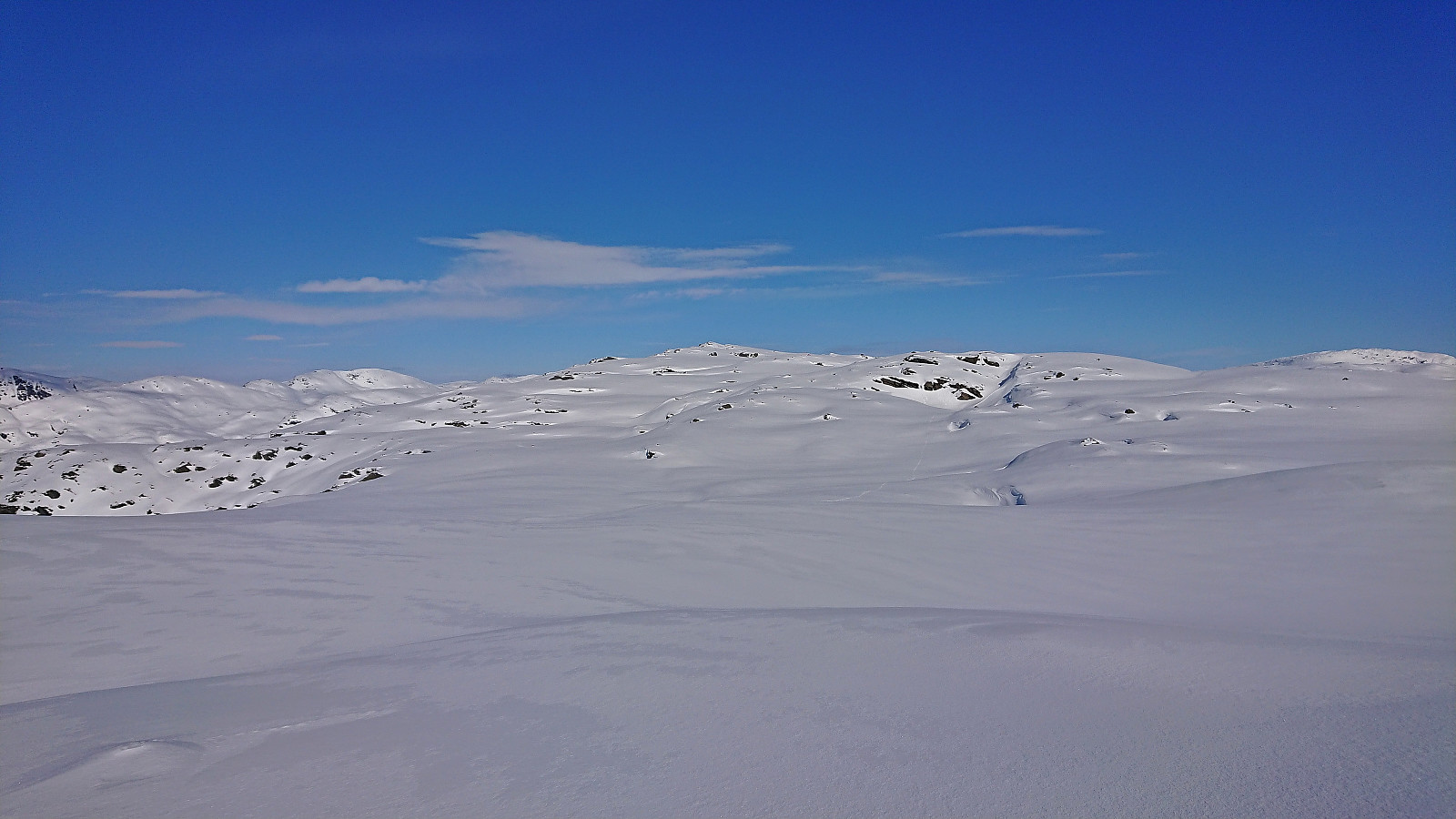
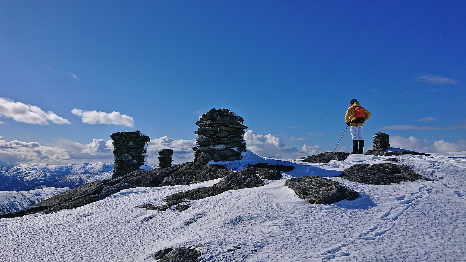
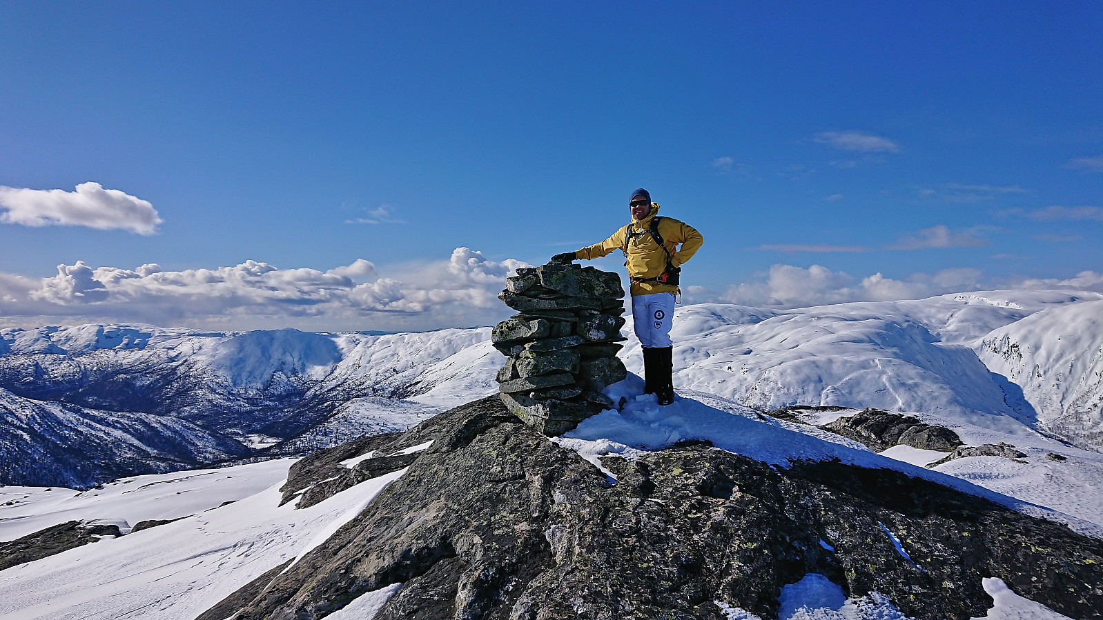
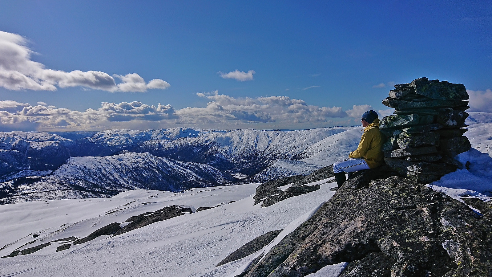
We shortly arrived at the valley in between Hatlekinni and Taulafjellet from where we proceeded to ascend along the ridge to the 994 hill which seemingly marked the highest point at Taulafjellet. (Hard to tell given that Taulafjellet pretty much gradually merges with Flatafjellet to the northeast). From there we descended to Geilatjørnane and started the final ascent to Blåvasshorgi, which was reached without any real issues. Excellent views from the summit.
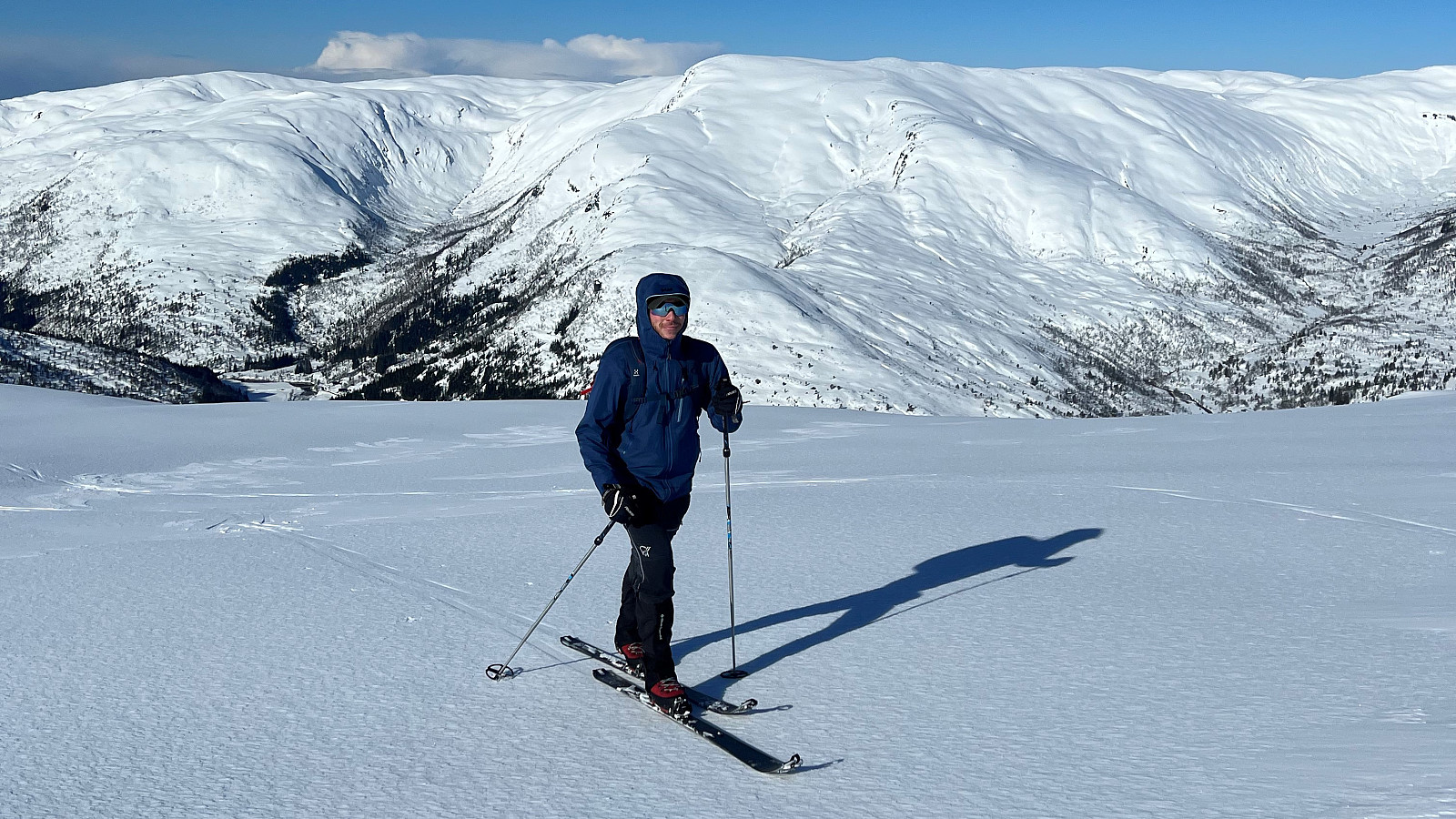
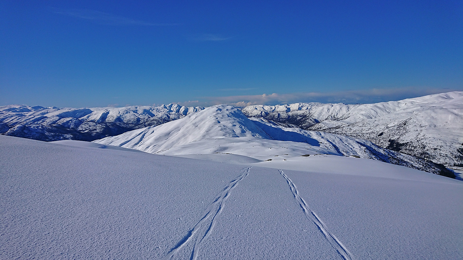
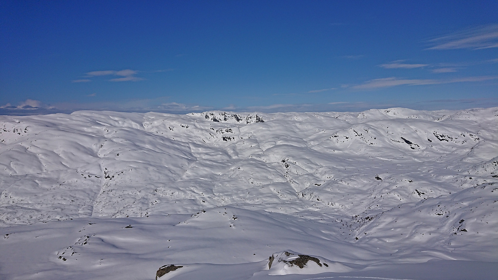
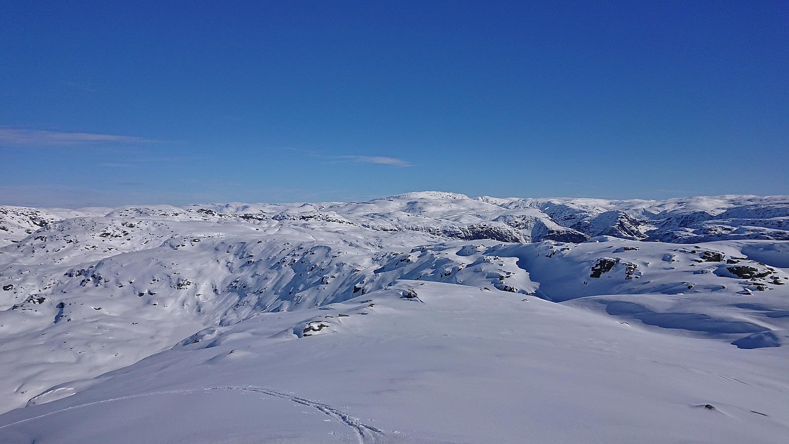
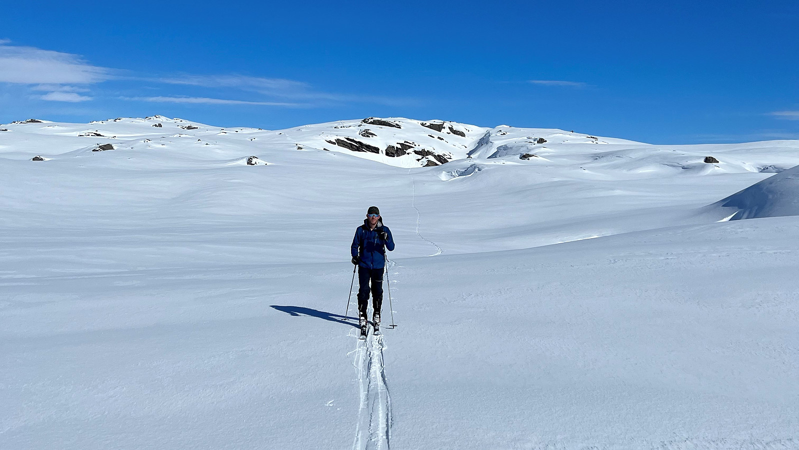
A short lunch break later and we were ready to remove the climbing skins and descend along the ascent route. We however did not descend all the way to Geilatjørnane, but instead turned north towards Kringdalsnipa as soon as we found an opening. After a minor navigation error, that was quickly corrected and only cost us a couple of hundred meters, we could now follow a more or less a straight line towards Kringdalsnipa, which provided a perfect overview of the five summits me and Endre visited a month earlier.
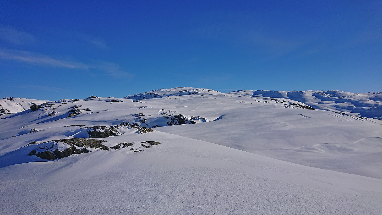
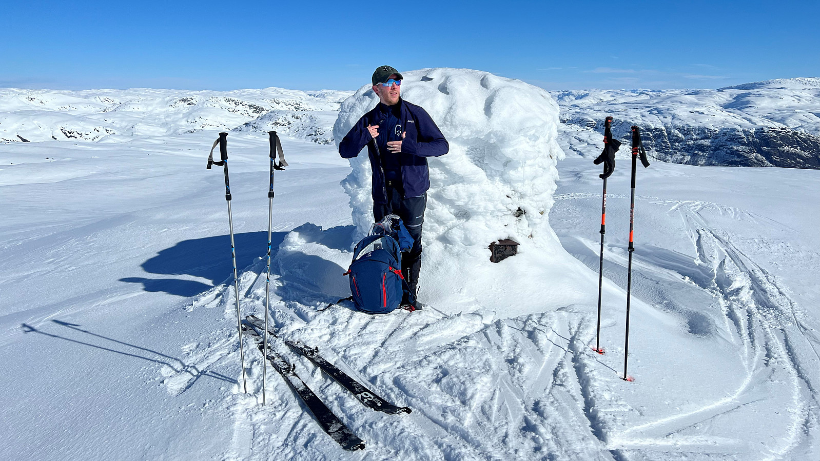
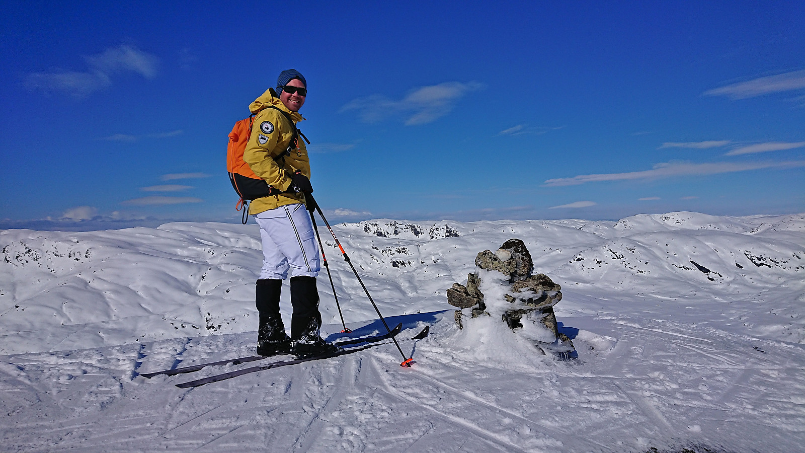
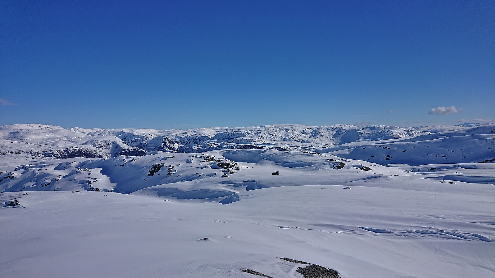
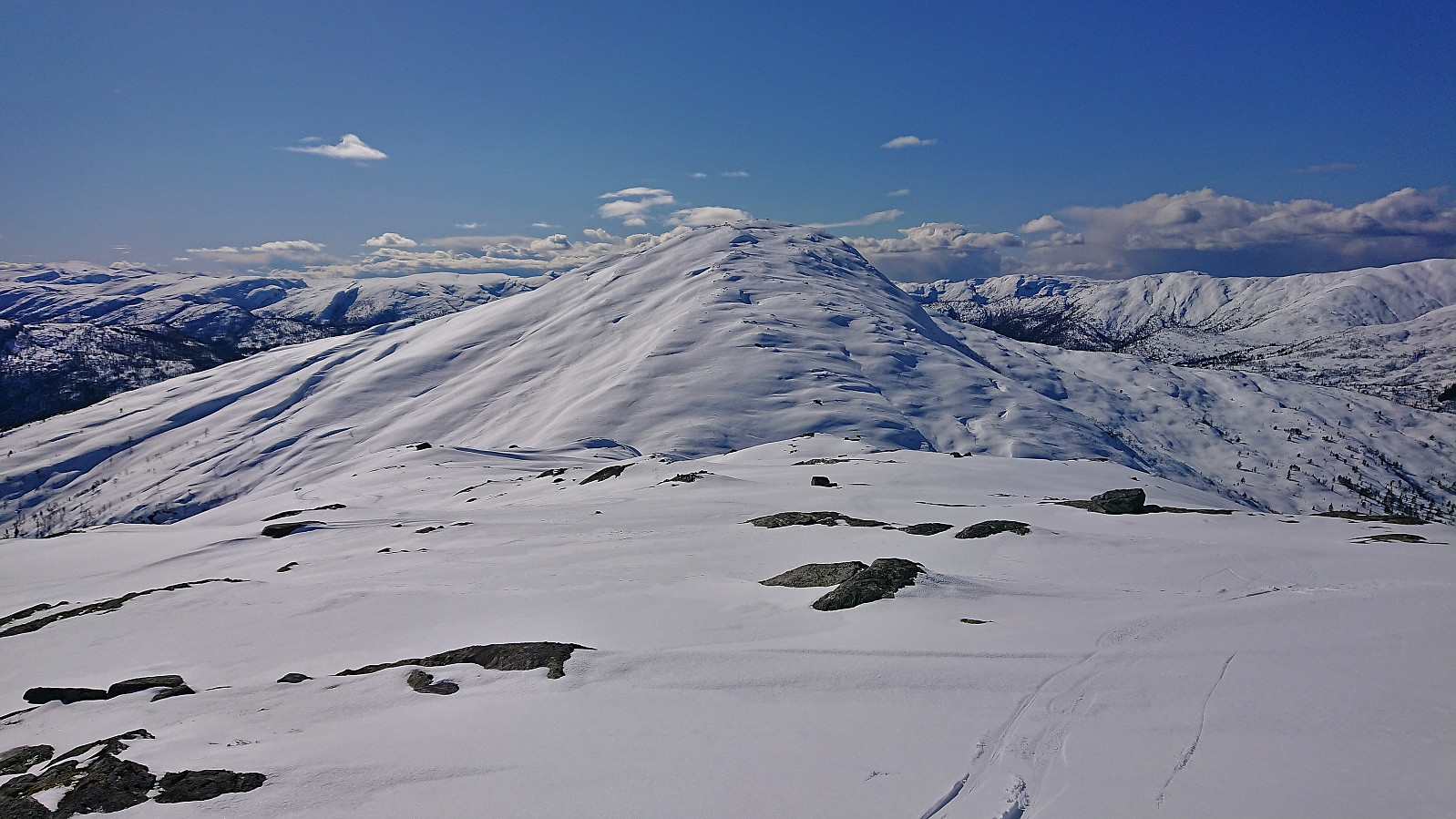
From Kringdalsnipa we turned south/southwest and passed over Flatafjellet to the ridge of Taulafjellet, which we then followed down to the valley northeast of Hatlekinni. Given the short distance to the summit, around 1 km, Endre convinced me to join him in the ascent (which would be my second, but first on skis and from this direction).
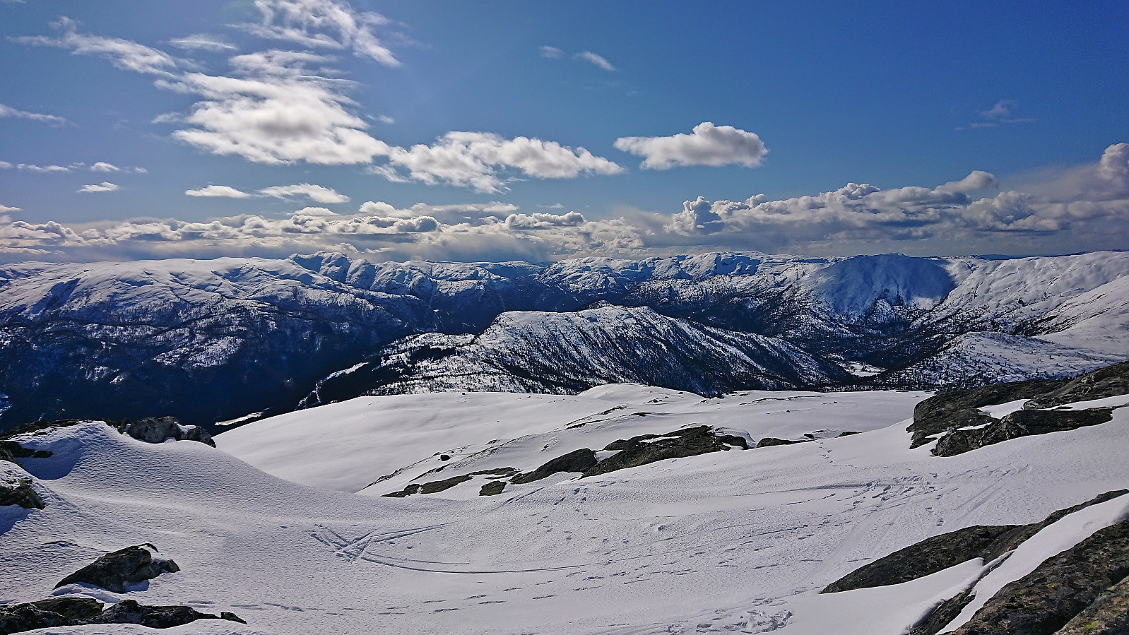
The extra effort was definitely worth it as we, after a quick break at the summit, could enjoy some excellent skiing back down the mountain and it did not take long before we arrived at the parking lot.
Overall, a near perfect skiing trip (except for the cold wind) that can be very highly recommended, and most likely the easiest way of visiting these three summits.
| Starttidspunkt | 26.03.2023 09:46 (UTC+01:00 ST) |
| Sluttidspunkt | 26.03.2023 15:57 (UTC+01:00 ST) |
| Totaltid | 6t 10min |
| Bevegelsestid | 4t 34min |
| Pausetid | 1t 36min |
| Snittfart totalt | 3,2km/t |
| Snittfart bevegelsestid | 4,3km/t |
| Distanse | 19,6km |
| Høydemeter | 1389m |


Kommentarer